
Plant
Purple moor-grass: where to see it
Molinia caerulea
This plant species is recorded in 25 protected areas of the atlas. Within the atlas countries, it is mostly observed in France, Denmark and the United Kingdom (11 countries in all). Most records (8 in 10) lie between 190 and 1,450 m above sea level. Records peak from June to September. Perennial plant, native to Europe, Africa and temperate Asia, introduced to North America.
Best time to see it: June–September
Records published on GBIF by month (CC0 and CC BY 4.0 licences only), in the atlas countries, all years combined; they also reflect observer activity.
Distribution
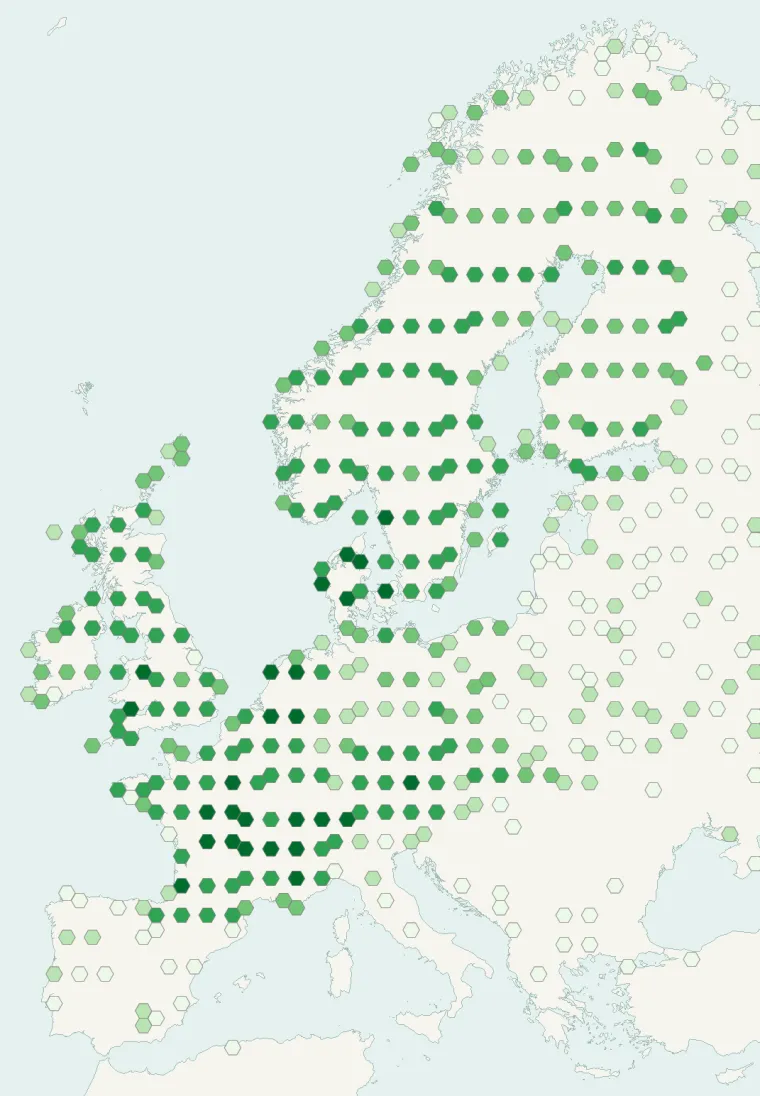
Records published on GBIF (CC0 and CC BY 4.0 licences): the darker the shade, the more records there are; they also reflect observation effort.
Atlas countries where it is recorded
From Wikipedia
Molinia caerulea, known by the common name purple moor-grass, is a species of grass that is native to Europe, west Asia, and north Africa. It grows in locations from the lowlands up to 2,300 m (7,546 ft) in the Alps. Like most grasses, it grows best in acid soils, ideally pH values of between 3.5 and 5, however, it can continue to live under more extreme conditions, sometimes to as low as 2. It is common on moist heathland, bogs and moorland throughout Great Britain and Ireland. Introduced populations exist in northeastern and northwestern North America.
Source: Wikipedia, article “Molinia caerulea” (version of January 19, 2026) · history and authors · licence CC BY-SA 4.0 · shortened excerpt
Protected areas where it is recorded
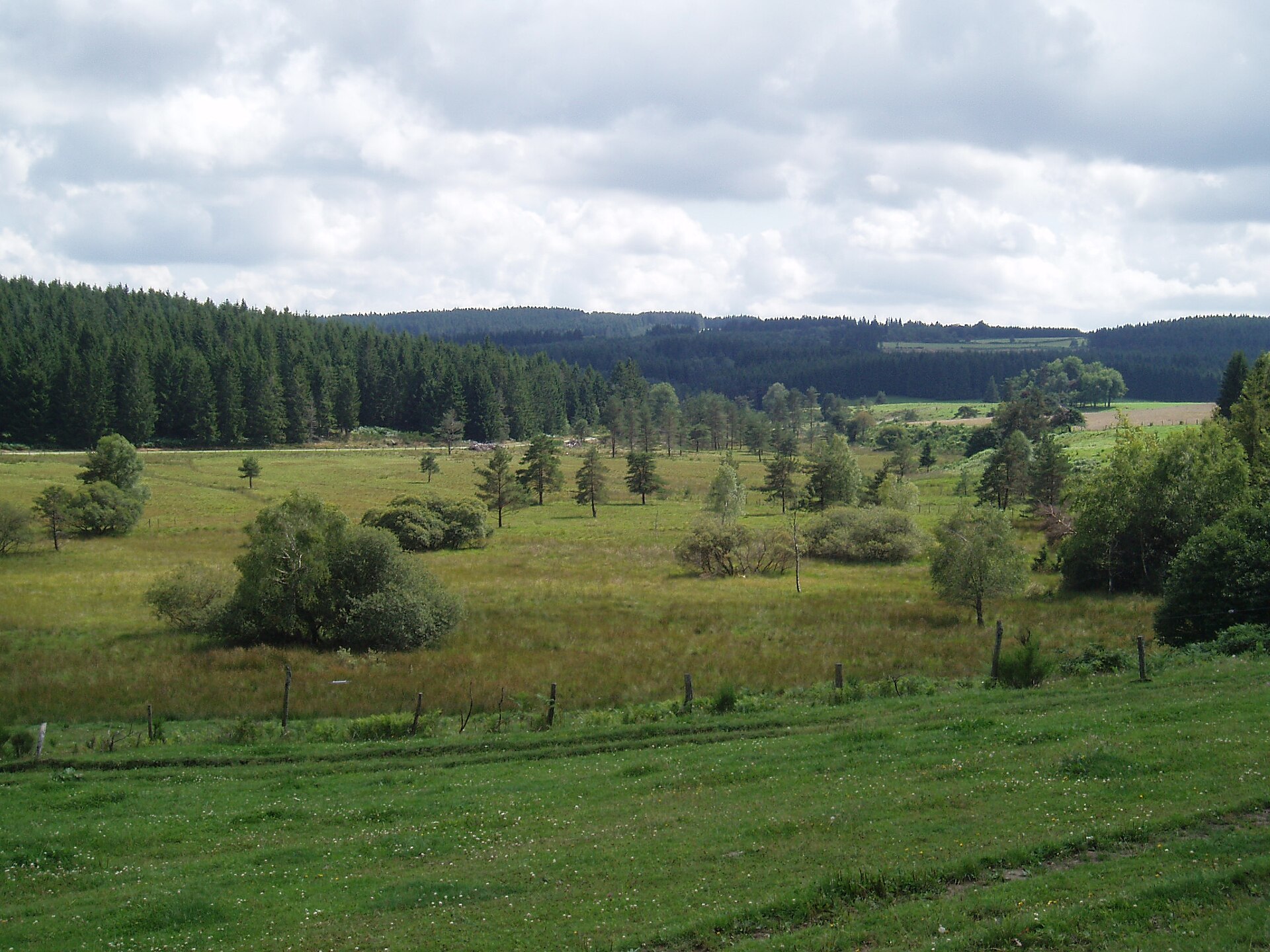
4,043 records
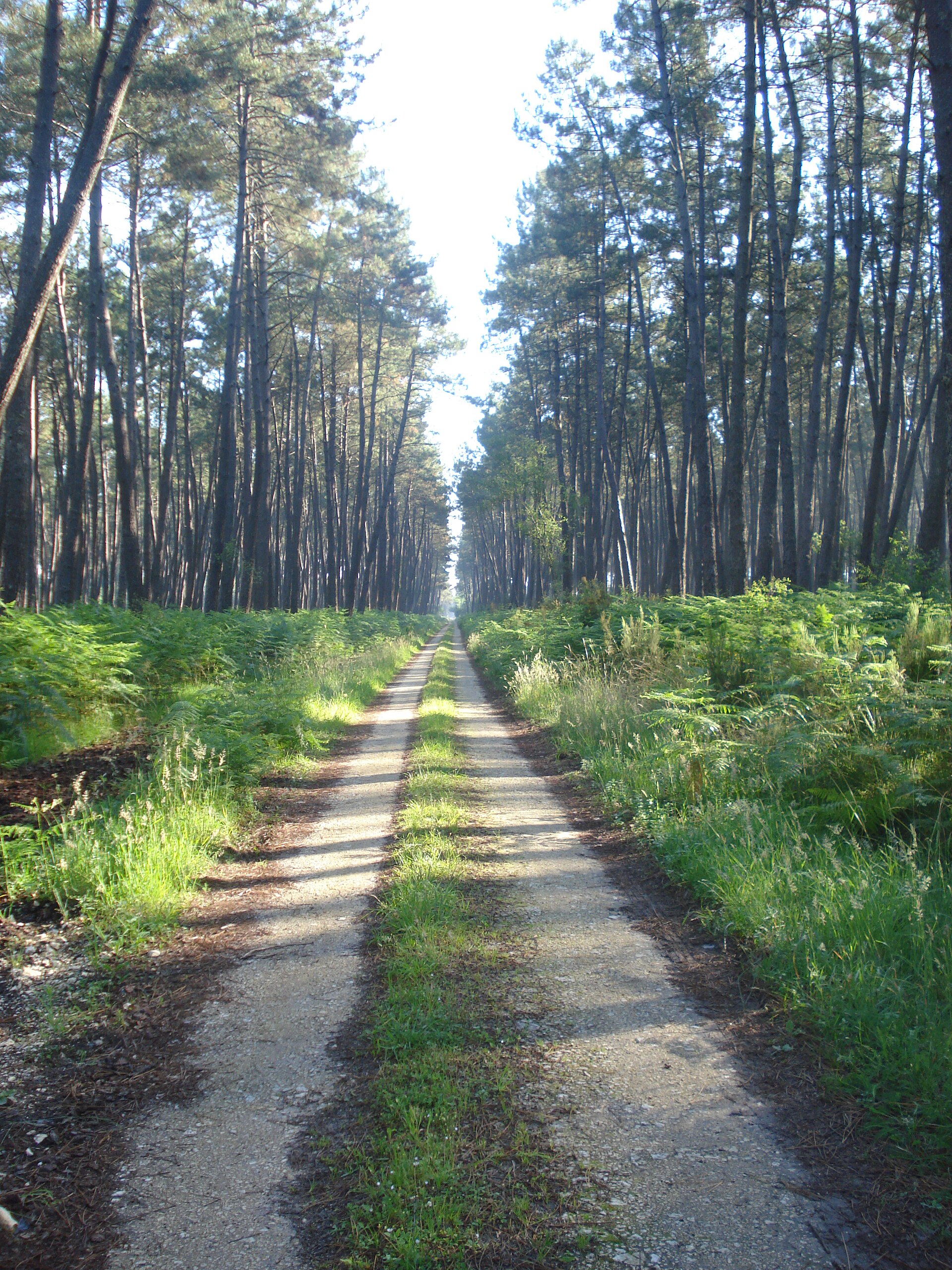
3,557 records
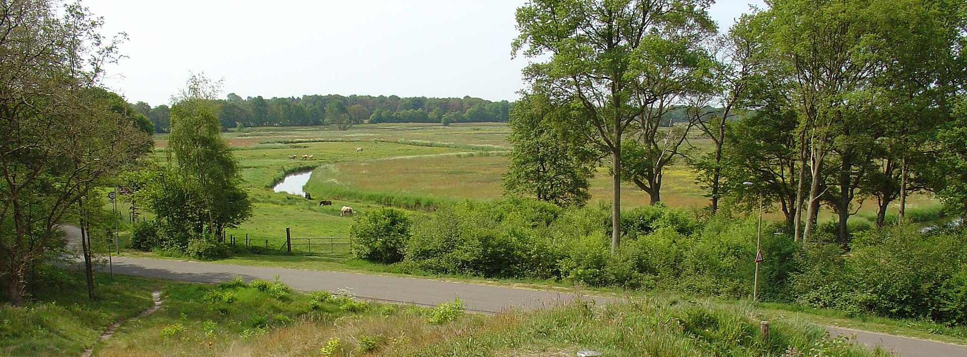
3,478 records
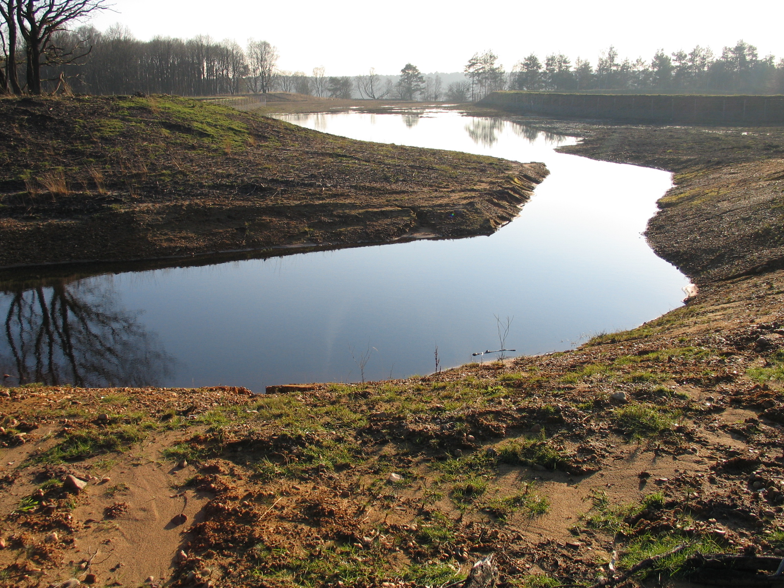
2,566 records
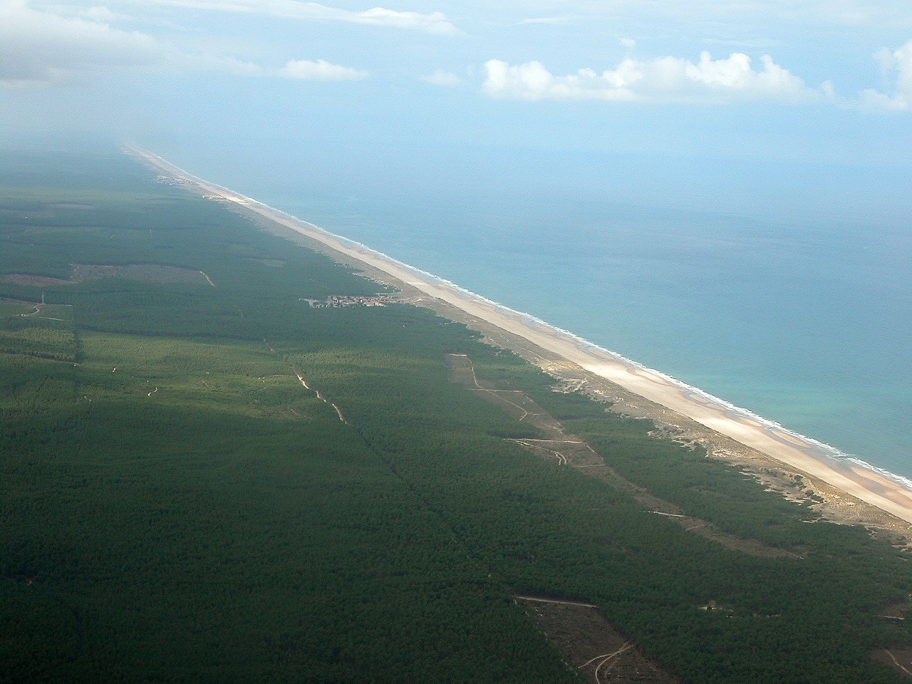
2,534 records
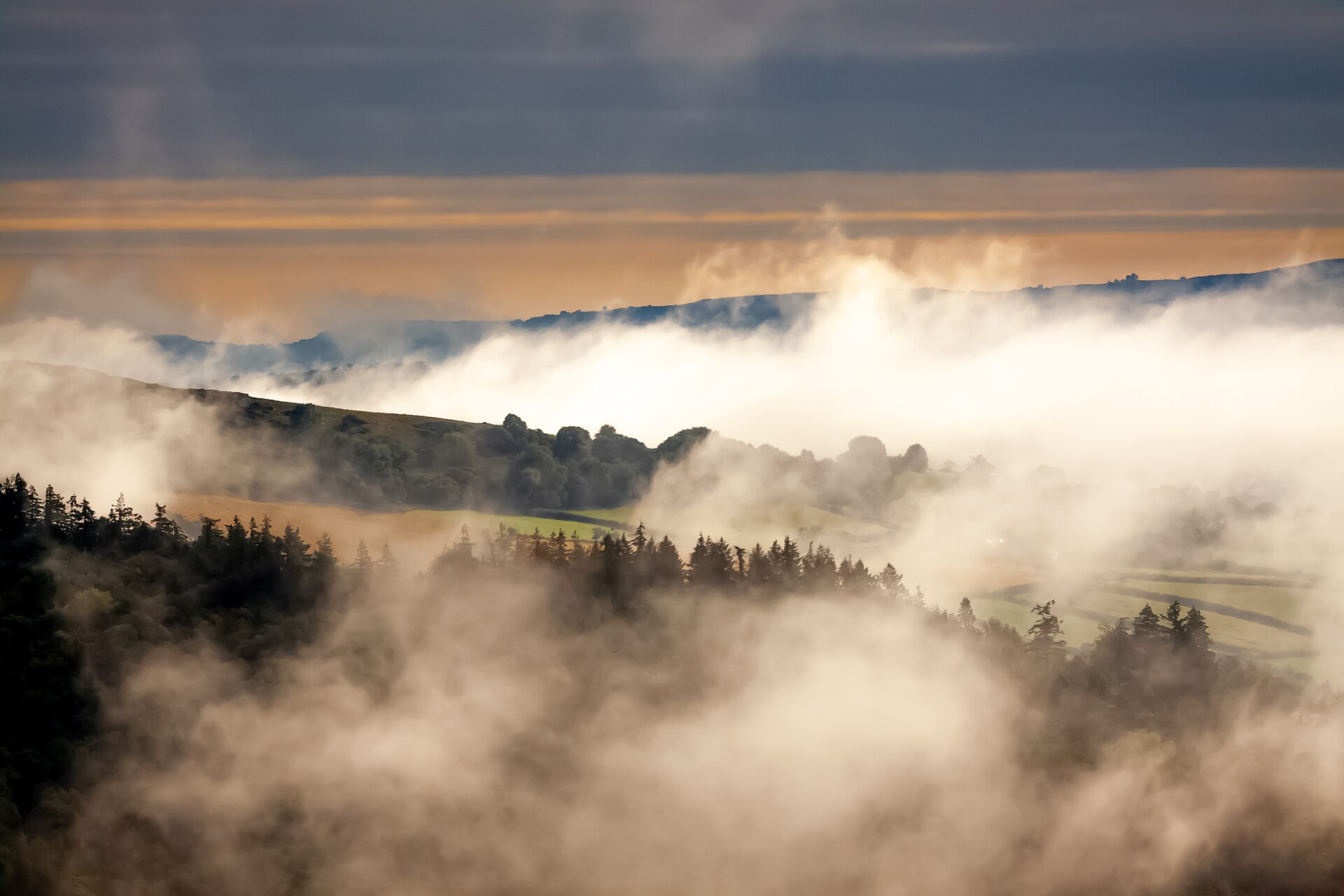
2,300 records

2,249 records
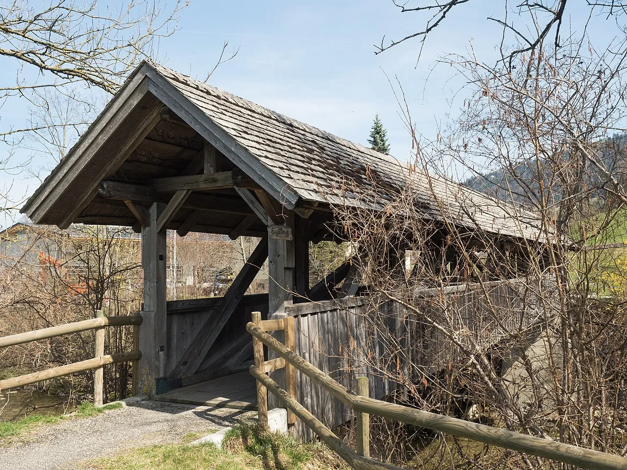
2,047 records
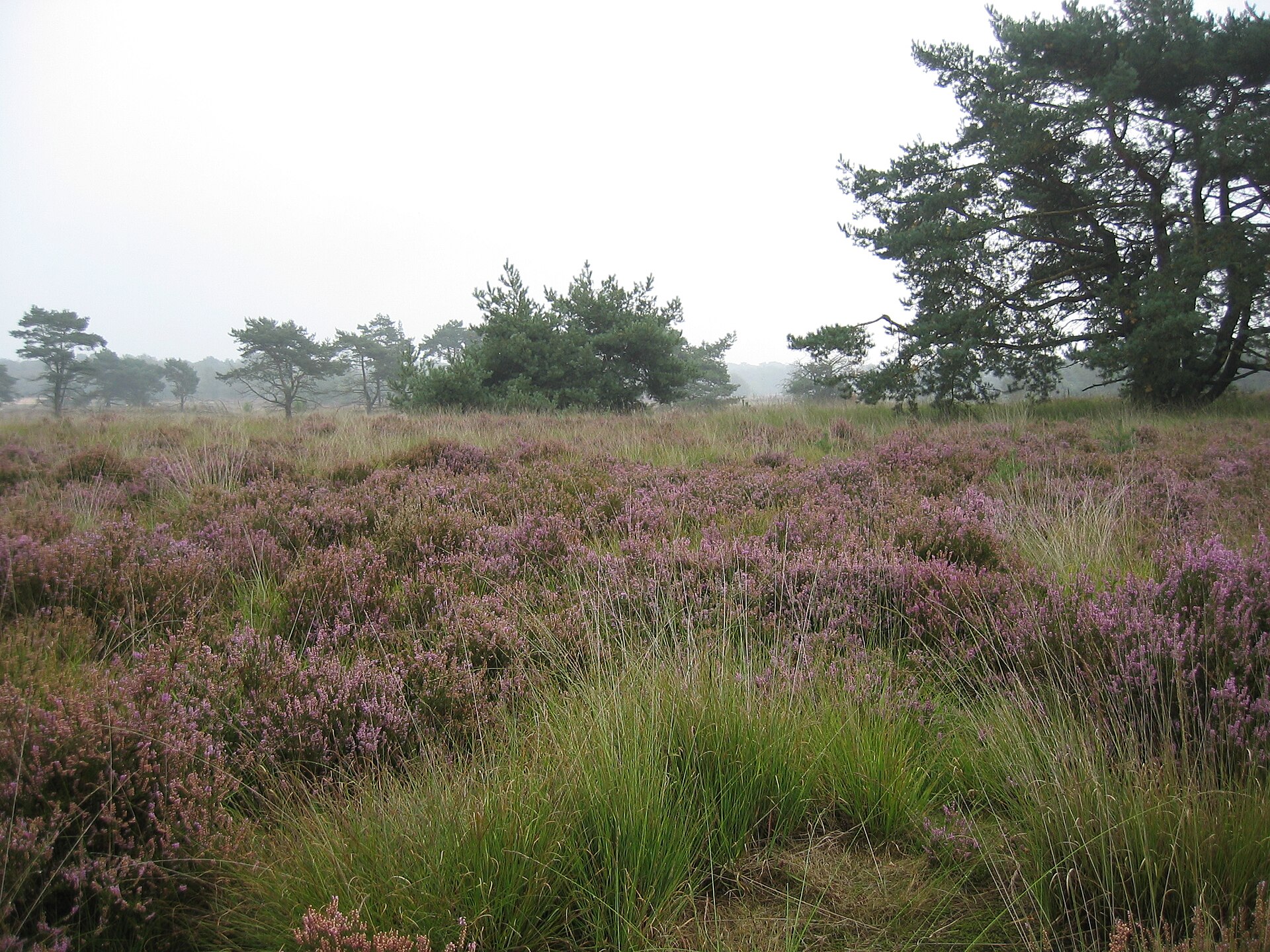
2,015 records

1,809 records
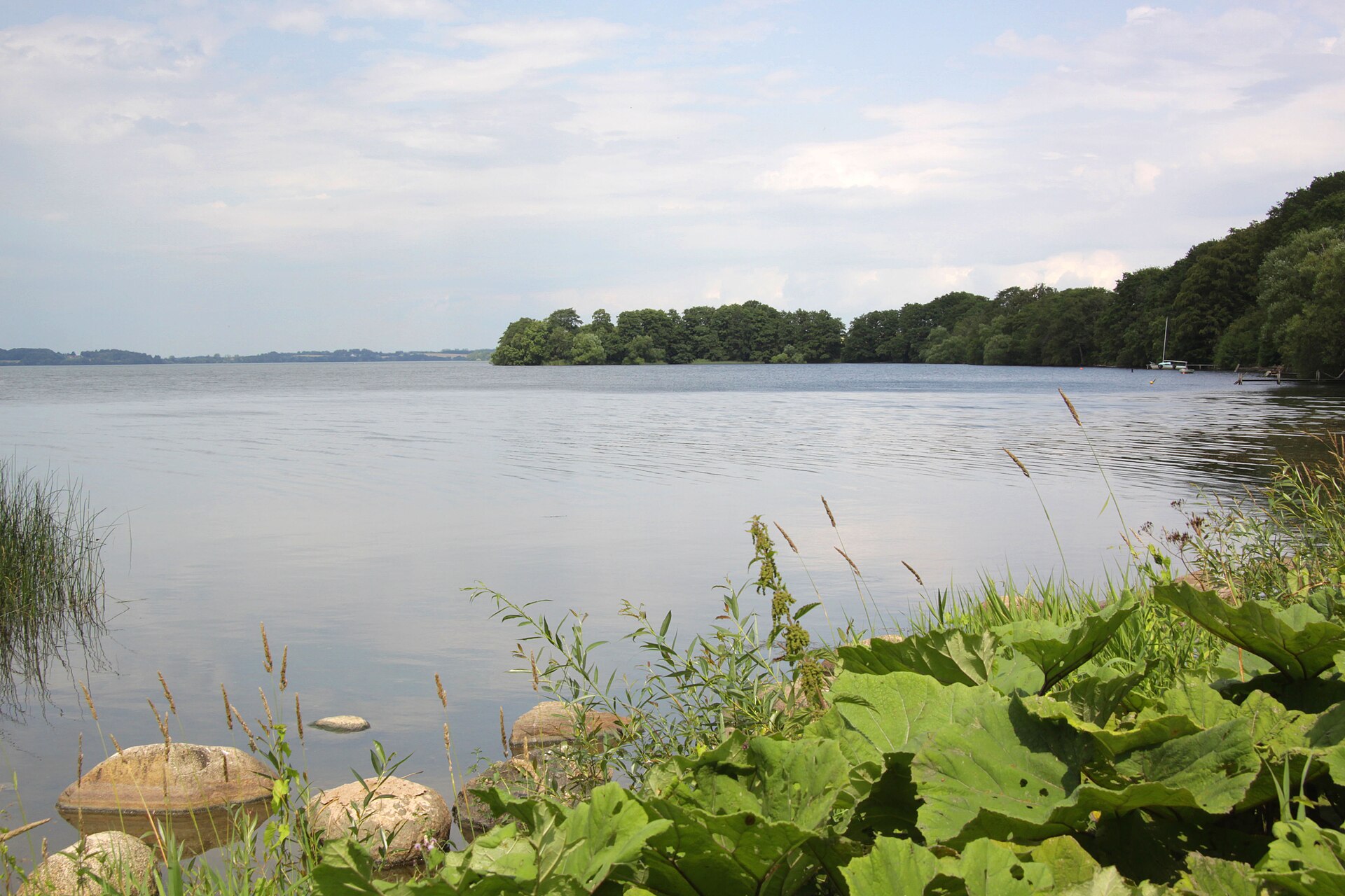
1,569 records
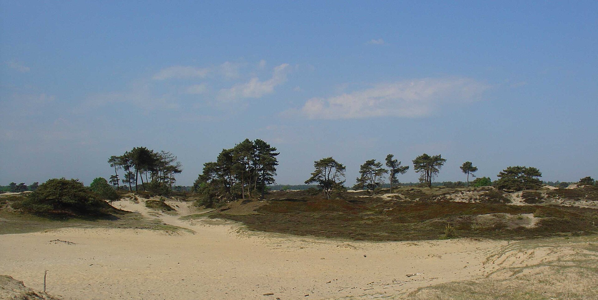
1,397 records
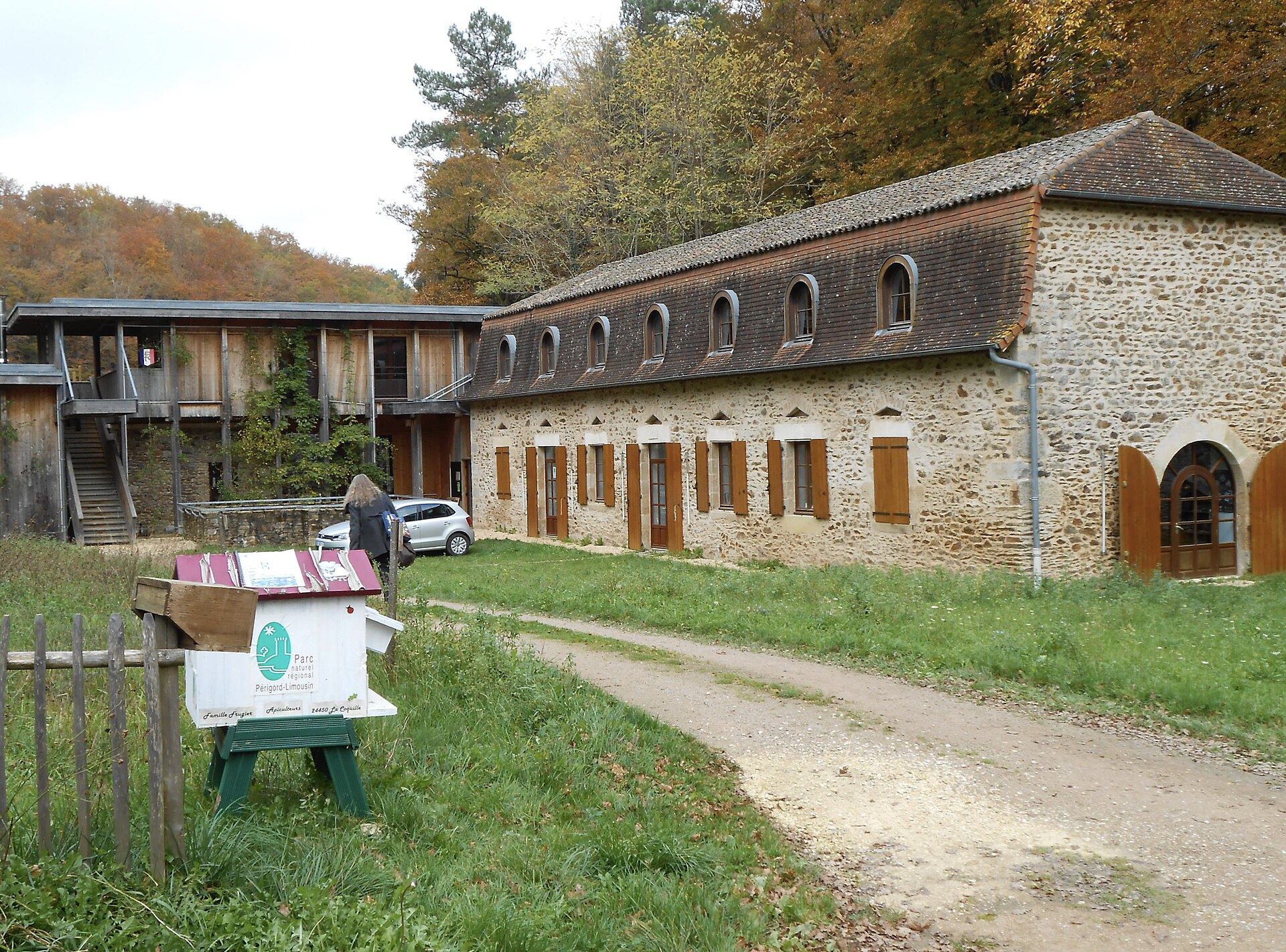
1,375 records
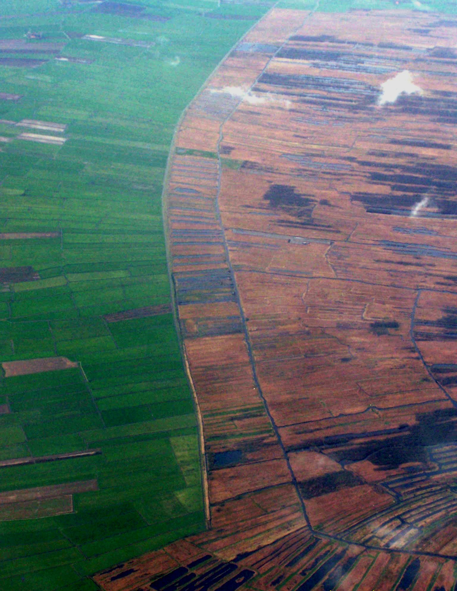
990 records
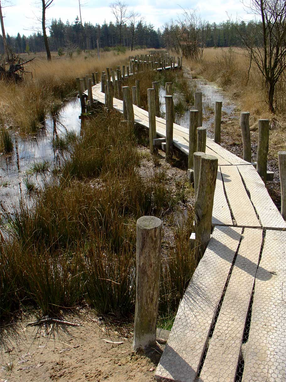
919 records
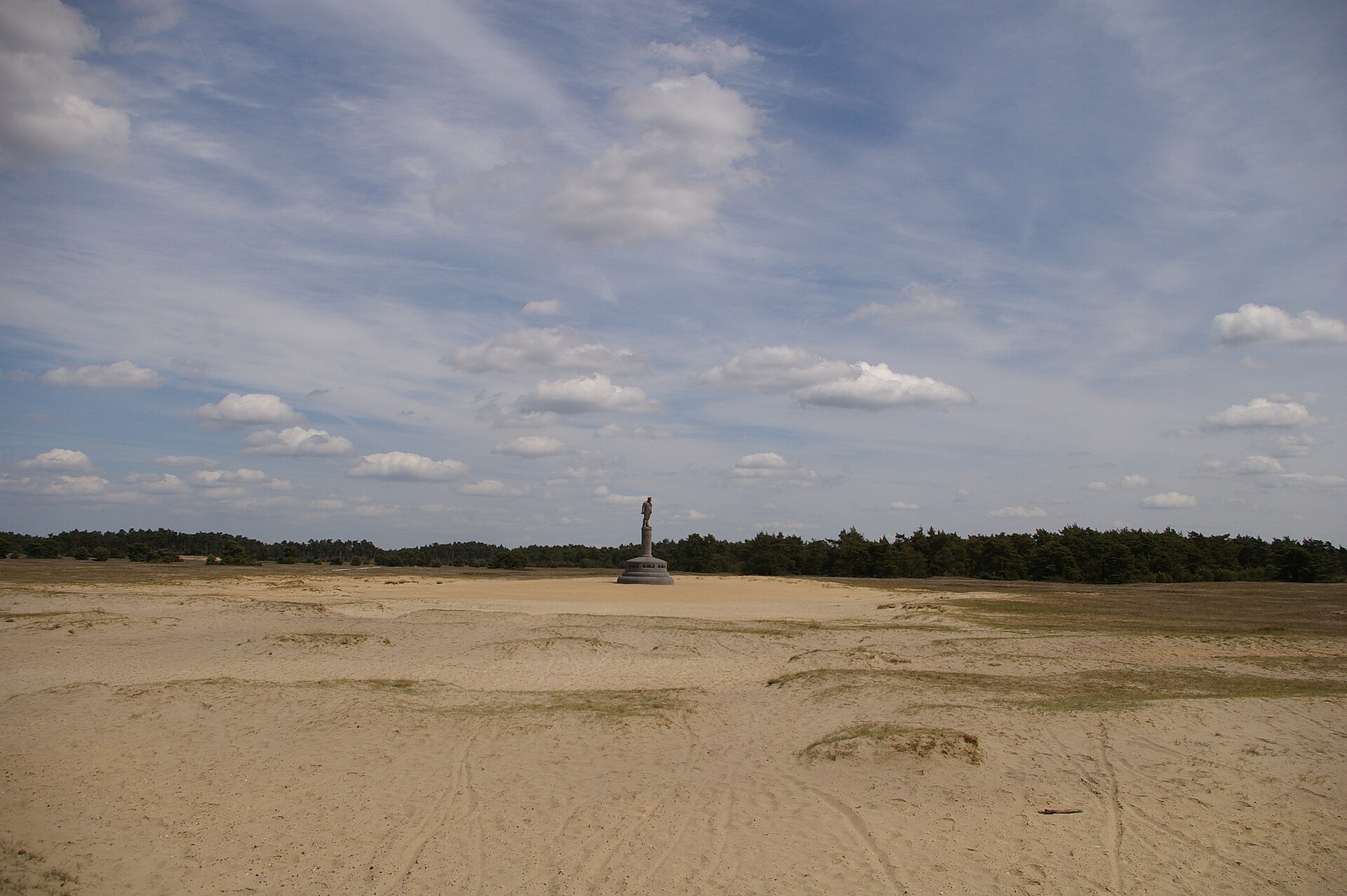
597 records
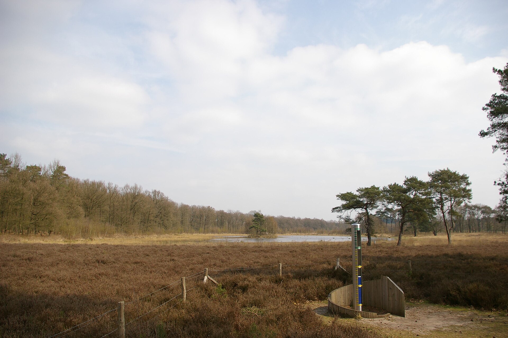
582 records
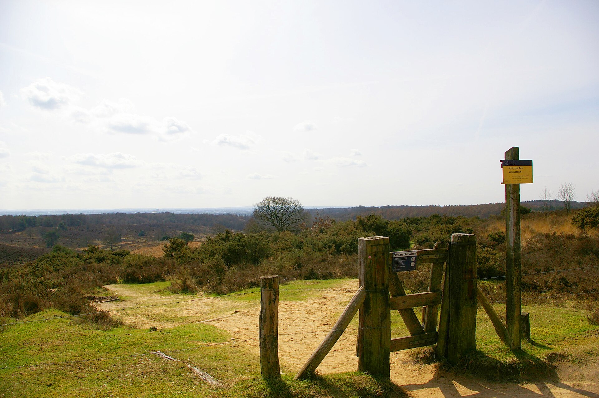
343 records
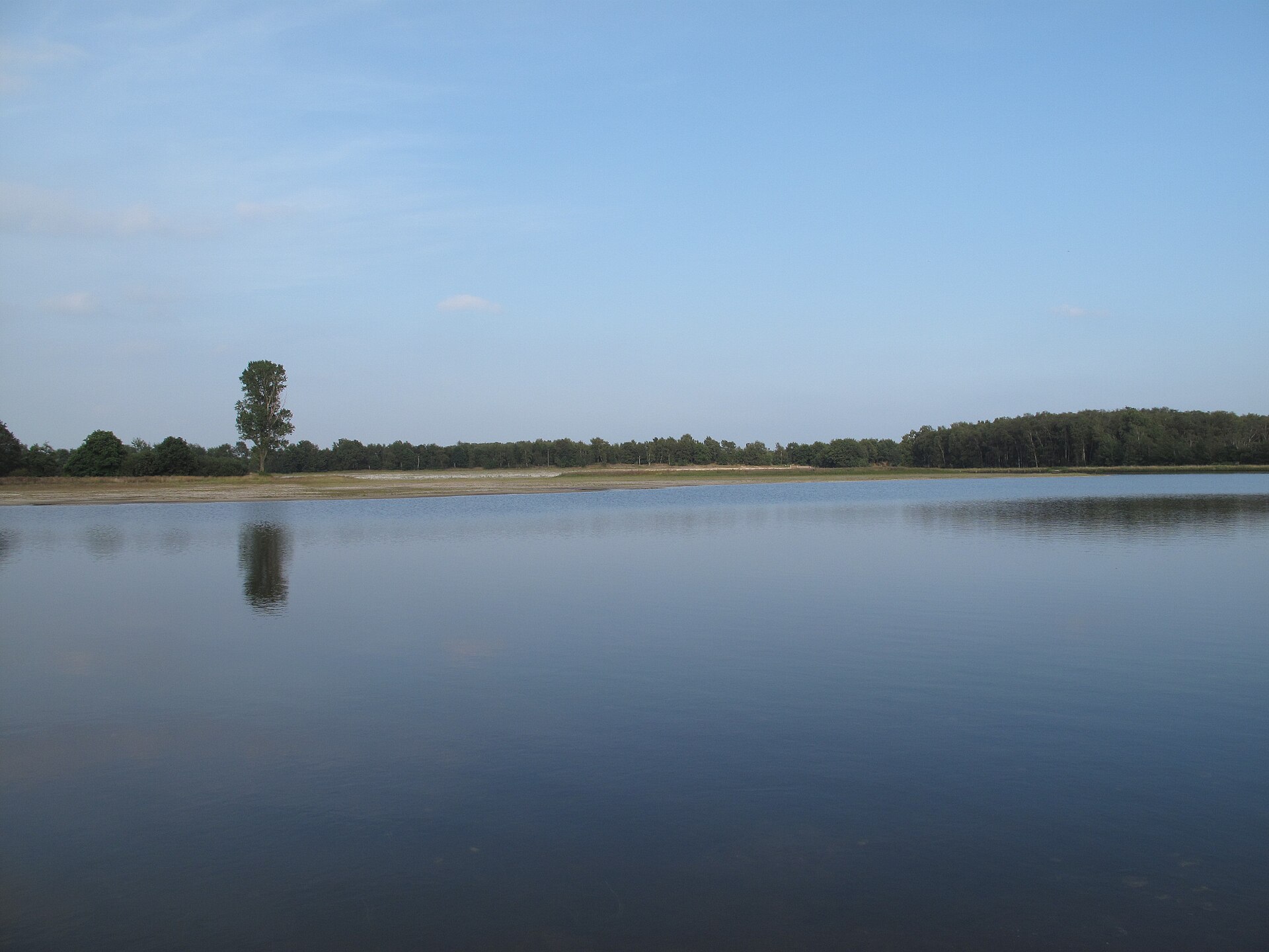
310 records

183 records
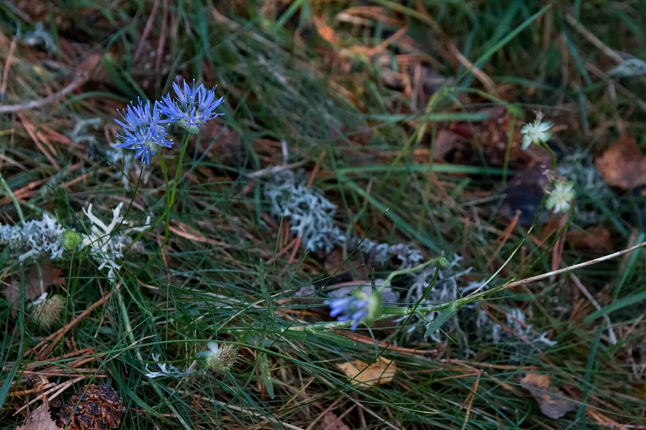
81 records
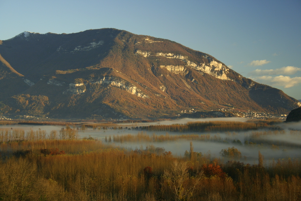
77 records
29 records
6 records

5 records
Other species to discover
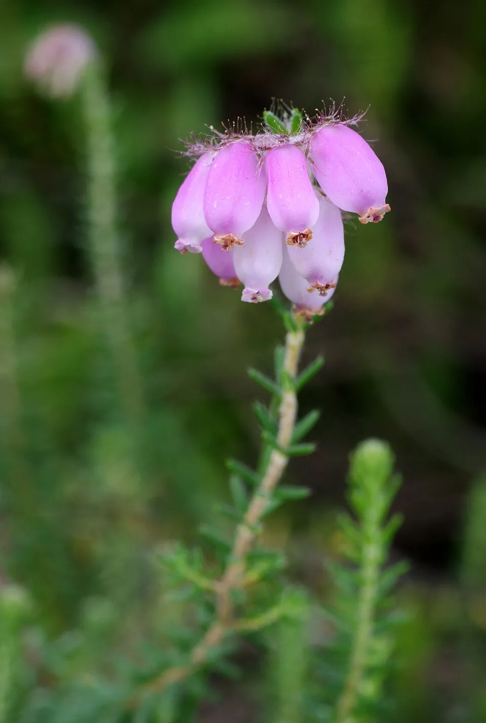 Cross-leaved heath
Erica tetralix 11 places in common
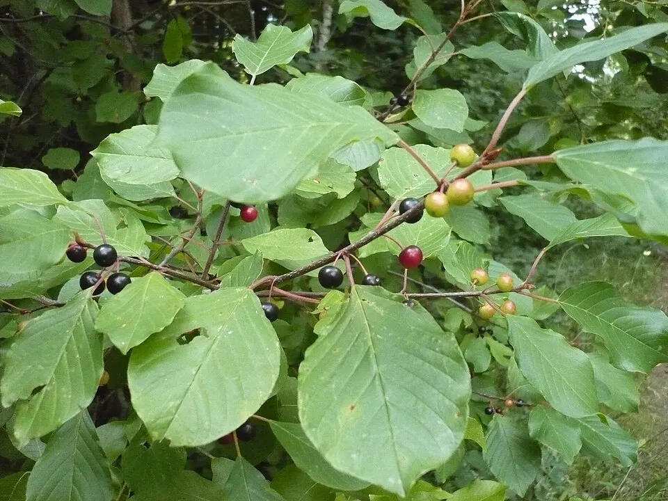 Alder Buckthorn
Frangula alnus 10 places in common
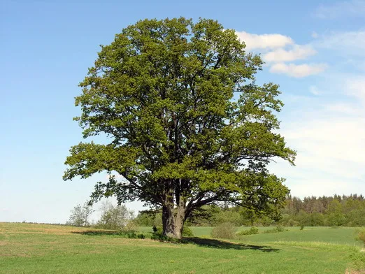 Pedunculate Oak
Quercus robur 14 places in common
 Scottish Heather
Calluna vulgaris 15 places in common
 Sheep sorrel
Rumex acetosella 8 places in common
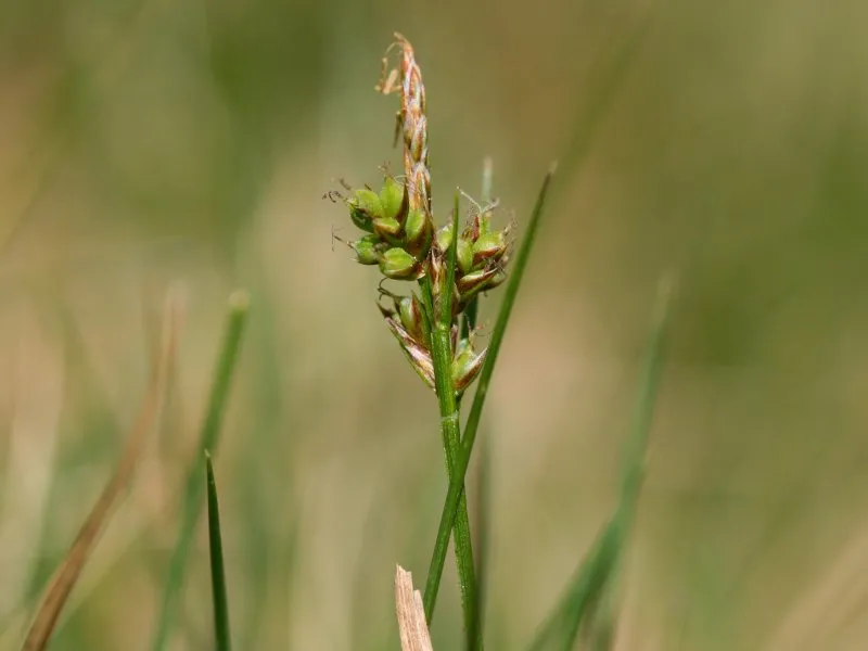 Pill sedge
Carex pilulifera 6 places in common
Sources and credits
- Presence: most-recorded species of each place on GBIF and species of Community interest in the Natura 2000 forms (EEA, CC-BY 4.0); absence from the list does not mean the species is absent.
- Common names: Wikidata (CC0) and GBIF.
- Photos and sounds: Wikimedia Commons, author and licence given for each file.
- Classification: GBIF Backbone Taxonomy (GBIF Secretariat), CC BY 4.0, doi:10.15468/39omei.
- Countries, elevations, months and maps: GBIF.org, CC0 or CC BY 4.0 occurrences only, accessed October 22, 2026, GBIF.org.
- Base map: Natural Earth (public domain).
- Excerpt: Wikipedia, CC BY-SA 4.0 (full credit below the excerpt).
- Native range and life form: World Checklist of Vascular Plants, Royal Botanic Gardens, Kew, CC BY 4.0 (no endorsement by Kew).