Netherlands · Terrestrial
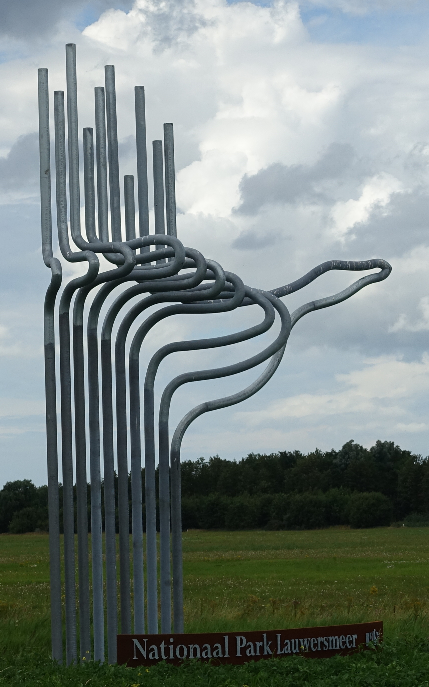
Drents-Friese Wold National Park
National park of 6,100 hectares in the Netherlands, established in 1999.
Overview
National park of 6,100 hectares in the Netherlands, established in 1999.
Drents-Friese Wold National Park is located in the Netherlands (Europe). It is a predominantly terrestrial area. Established in 1999, it covers about 6,100 hectares. The site is managed by Staatsbosbeheer.
Protections and designations
Natura 2000 · habitats (SAC)
- Drents-Friese Wold & Leggelderveld NL9803011
Natura 2000 · birds (SPA)
- Drents-Friese Wold & Leggelderveld NL9802201
Protected as a national park. International labels and designations: Natura 2000 network (2 sites). Key dates: established in 1999, first Natura 2000 site under the Birds Directive in 2000 and first Natura 2000 site under the Habitats Directive in 2011.
In our collections
Timeline
-
1999
Established
-
2000
First Natura 2000 site under the Birds Directive
-
2011
First Natura 2000 site under the Habitats Directive
Sources: Wikidata (CC0) for establishment and international labels; EEA Natura 2000 database (CC-BY 4.0) for site designation dates.
Frequently asked questions
Where is Drents-Friese Wold National Park?
In the Netherlands (Europe). Representative point: 52.9097° N, 6.2806° E.
How large is Drents-Friese Wold National Park?
About 6,100 hectares (61 km²). It is the 9th largest of the 26 national parks in the Netherlands covered by Parkavela.
When was Drents-Friese Wold National Park established?
In 1999.
What habitats and landscapes does Drents-Friese Wold National Park include?
A terrestrial area, with forests.
What rocks lie beneath Drents-Friese Wold National Park?
According to the European 1:1 million geological map (EGDI), the bedrock consists mainly of sands and gravels (100% of sampled points). These are mostly sedimentary rocks. The geological units date mainly from the Quaternary (100% of sampled points).
Which international labels apply to Drents-Friese Wold National Park?
Natura 2000 network (2 sites).
When is the best time to visit Drents-Friese Wold National Park?
Best time to visit: May and June, with average temperatures of 12 to 16 °C and moderate rainfall.
What is there to see in Drents-Friese Wold National Park?
2 lakes and ponds, including Apepoel and Grenspoel (Wikidata).
Are there historic monuments in Drents-Friese Wold National Park?
Yes. According to Wikidata, one monument listed in the Dutch national register of monuments (Rijksmonumentenregister) stands within the boundary. For example: “Voermanswoning van Staatsbosbeheer in ambachtelijk-traditionele stijl” in Ooststellingwerf.
Can you swim in Drents-Friese Wold National Park?
3 monitored bathing sites lie in or within 1 km of the site; official 2025 classification: 3 excellent (European Environment Agency). Swimming is only permitted at the sites and times authorised locally.
What is the nearest large city to Drents-Friese Wold National Park?
Nearest towns of over 50,000 people, as the crow flies: Heerenveen (13 km) and Assen (15 km). Nearest airport: Groningen Airport Eelde (GRQ), about 26 km away.
How can I reach Drents-Friese Wold National Park by train?
The nearest railway station is Beilen, about 11 km from the site boundary.
Where can I get visitor information on site?
Informatiecentrum Het Drentse Landschap/Natuurmonumenten (onbemand), Puur in diever and Natuurpoort Hoogersmilde.
Are there waymarked hiking trails in Drents-Friese Wold National Park?
Yes. Waymarked hiking routes listed in OpenStreetMap: 108. The “Olde Smildeger Wandelroute” route runs for about 10 km through the site.
Which species can be seen in Drents-Friese Wold National Park?
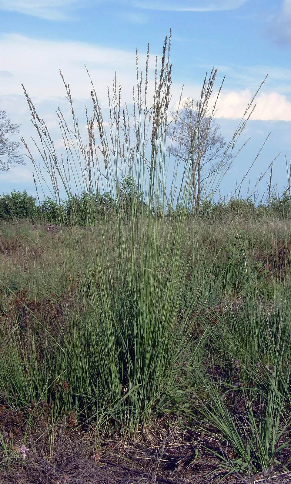
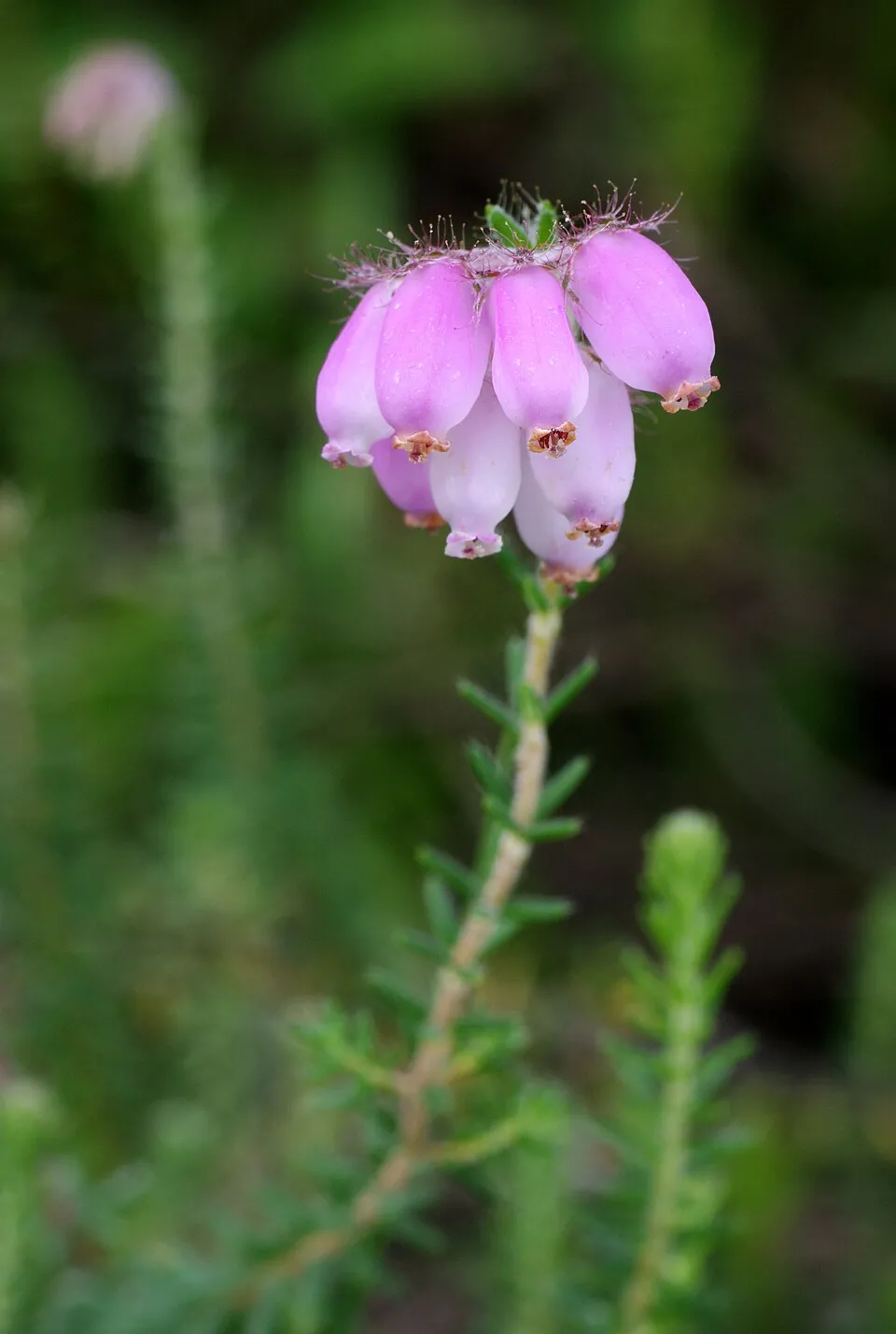
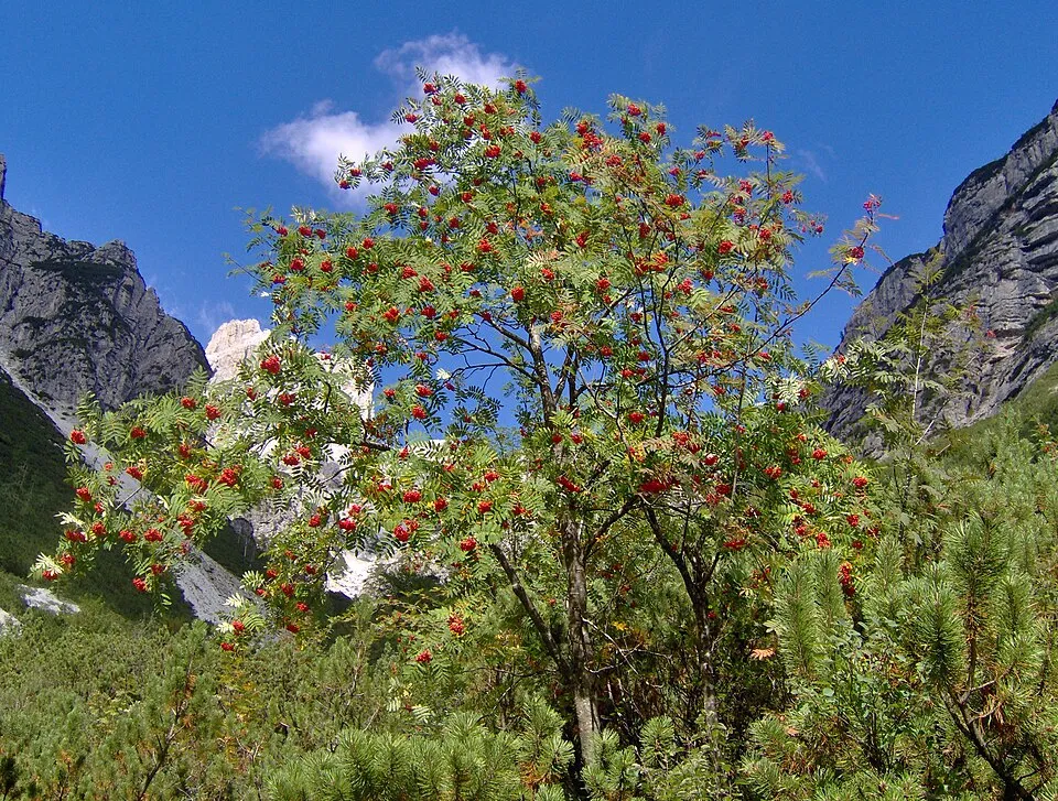
Among the species most often recorded on GBIF are Molinia caerulea (Purple moor-grass), Erica tetralix (Cross-leaved heath), Calluna vulgaris (Scottish Heather) and Sorbus aucuparia (Rowan).
Who manages Drents-Friese Wold National Park?
Staatsbosbeheer.
What is the official website of Drents-Friese Wold National Park?
© OpenStreetMap
Download the boundary: GeoJSON · GPX Boundary © OpenStreetMap contributors (ODbL).
Geography
The representative point of the site lies at around 7 m above sea level. Over the 1996–2025 period, the mean annual temperature is about 10.2 °C and total precipitation reaches roughly 857 mm per year. The warmest month is usually July, the coolest January, and the wettest July. According to the European 1:1 million geological map (EGDI), the bedrock consists mainly of sands and gravels (100% of sampled points). These are mostly sedimentary rocks. The geological units date mainly from the Quaternary (100% of sampled points).
Area
- Area
- 6,100 ha
- Elevation
- 7 m
- Coordinates
- 52.9097, 6.2806
Bedrock
- Sands and gravels 100 %
Sedimentary rocks 100 % · Main age: Quaternary (100%)
Source: EGDI 1:1M geological map (EuroGeoSurveys and national geological surveys), CC BY 4.0 · 16 sampled points within the site.
Climate
● Mean temperature (°C) · ▮ Precipitation (mm)
Source: Copernicus ERA5-Land (C3S, doi:10.24381/cds.68d2bb30), monthly averages 1996–2025 interpolated to the representative point, temperatures adjusted for elevation.
Contains modified Copernicus Climate Change Service information 2026. Neither the European Commission nor ECMWF is responsible for any use that may be made of the Copernicus information or data it contains.
Natural habitats
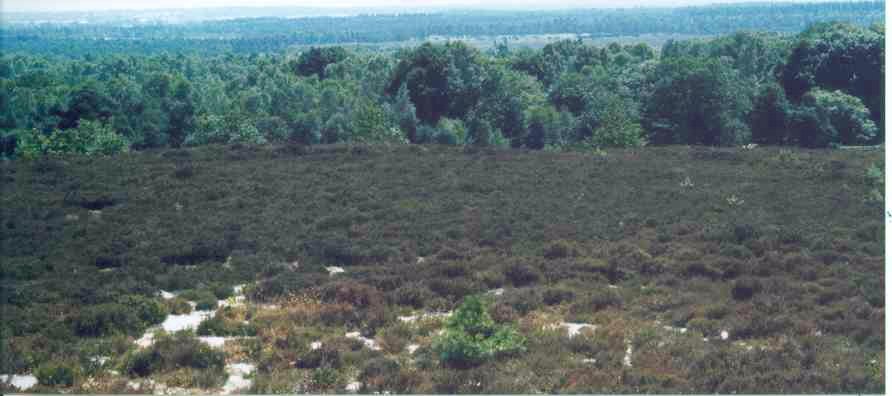
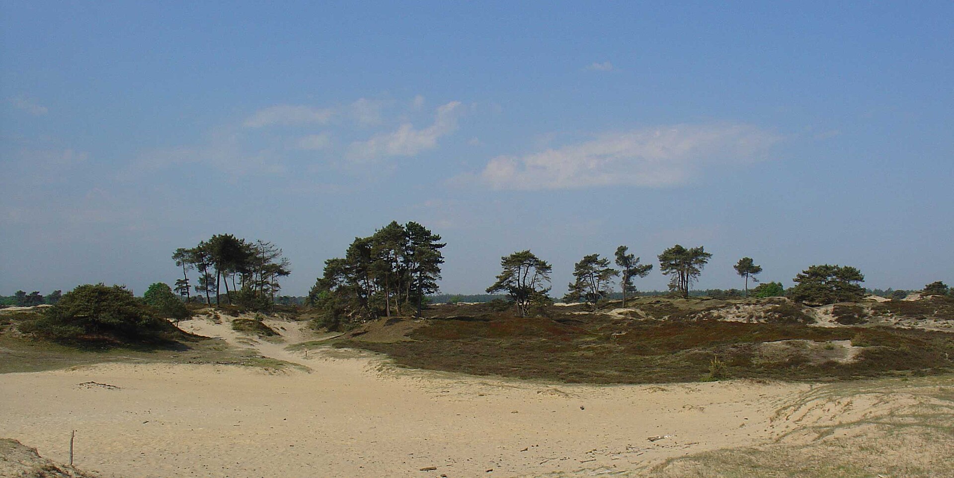
According to CORINE Land Cover (2018), the site is mainly made up of forests (63%), heath and scrub (19%) and grassland and meadows (8%). Woodland is mostly coniferous. The land is almost flat (mean slope under 2°). The 2 Natura 2000 sites overlapping the area list 14 habitats of European interest (2 priority), the most extensive being European dry heaths, dry sand heaths with Calluna and Genista and northern Atlantic wet heaths with Erica tetralix.
Biodiversity
Based on occurrences aggregated by GBIF, several species are regularly recorded within the site. Among the most frequent are Molinia caerulea (Purple moor-grass), Erica tetralix (Cross-leaved heath), Calluna vulgaris (Scottish Heather) and Sorbus aucuparia (Rowan). The full list of documented taxa is shown below. The overlapping Natura 2000 sites list 11 species of European interest: 9 birds, 1 amphibian and 1 plant.
Habitats of European interest
From the official forms of the 2 Natura 2000 sites overlapping the area (areas reported for each whole site).
- European dry heaths 367 ha
- Dry sand heaths with Calluna and Genista 152 ha
- Northern Atlantic wet heaths with Erica tetralix 121 ha
- Inland dunes with open Corynephorus and Agrostis grasslands 115 ha
- Natural dystrophic lakes and ponds 65 ha
- Old acidophilous oak woods with Quercus robur on sandy plains 27 ha
- Depressions on peat substrates of the Rhynchosporion 26 ha
- Active raised bogs priority 22 ha
and 6 more
Species of European interest
Birds · 9
Black Woodpecker (Dryocopus martius) resident, Eurasian Wryneck (Jynx torquilla) breeding, Red-backed Shrike (Lanius collurio) breeding, Woodlark (Lullula arborea) breeding, Northern Wheatear (Oenanthe oenanthe) breeding, European honey buzzard (Pernis apivorus) breeding, Whinchat (Saxicola rubetra) breeding, European stonechat (Saxicola torquatus) breeding, Little Grebe (Tachybaptus ruficollis) breeding
Amphibians · 1
Plants · 1
Source: Natura 2000 standard data forms (EEA, CC-BY 4.0). Not exhaustive: sensitive species are not published.
Species to look out for


Observed species
Occurrences documented via GBIF; they are neither an exhaustive inventory nor proof of current presence.
- Purple moor-grass · Molinia caerulea · 1397
- Cross-leaved heath · Erica tetralix · 969
- Scottish Heather · Calluna vulgaris · 933
- Rowan · Sorbus aucuparia · 748
- Wavy hairgrass · Avenella flexuosa · 682
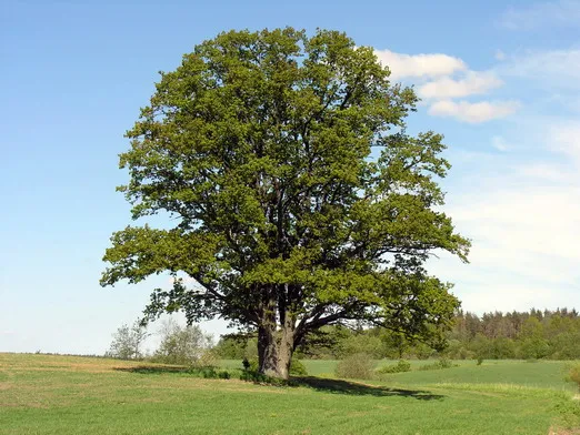
- Pedunculate Oak · Quercus robur · 609
- Black crowberry · Empetrum nigrum · 582
- Scots Pine · Pinus sylvestris · 558
- Black cherry · Prunus serotina · 519
- Common cottongrass · Eriophorum angustifolium · 503
- Alder Buckthorn · Frangula alnus · 498
- Broom Moss · Dicranum scoparium · 496
+18 more species
- Soft rush · Juncus effusus · 459
- Toothed sphagnum · Sphagnum cuspidatum · 455
- Hypnum moss · Hypnum cupressiforme · 434
- Schreber's big red stem moss · Pleurozium schreberi · 350
- Hypnum moss · Hypnum jutlandicum · 339
- Sheep sorrel · Rumex acetosella · 332
- Heath bedstraw · Galium saxatile · 318
- Colonial bentgrass · Agrostis capillaris · 295
- Bulbous rush · Juncus bulbosus · 268
- Norway spruce · Picea abies · 264
- Pill sedge · Carex pilulifera · 261
- Downy birch · Betula pubescens · 248
- Heath rush · Juncus squarrosus · 243
- Festuca guestphalica · 240
- Climbing corydalis · Ceratocapnos claviculata · 231
- Yorkshire-fog · Holcus lanatus · 216
- Northern red oak · Quercus rubra · 212
- Marsh pennywort · Hydrocotyle vulgaris · 193
Records: GBIF.org (CC-BY). Names: Wikidata (CC0), GBIF. Photos: Wikimedia Commons.
Conservation challenges
The primary purpose of the site is to preserve its natural habitats and the biodiversity they support. The species recorded (Biodiversity tab) reflect its ecological value. The designations it holds frame its management and the control of land use.
According to Global Forest Change data (University of Maryland, Global Forest Watch), about 842 ha of tree cover were lost within the boundary between 2001 and 2023 (14% of its area), peaking in 2010. These losses include logging, storms and fires, and do not account for regrowth. According to the European CORINE Land Cover inventory (Copernicus), land cover changed on about 713 ha of the site between 1990 and 2018 (12% of its area): open natural land grew by 618 ha, mostly at the expense of forest, while forest shrank by 377 ha, mostly giving way to open natural land. At night, the area gives off virtually no artificial light detectable from space (NASA VIIRS Black Marble composite, 2016). Built-up and developed land (buildings, business areas, roads, quarries) covers 1% of the area, and farmland 6% (CORINE Land Cover). According to the Natura 2000 forms, of 14 assessed habitats of European interest, 7 are in excellent condition and 3 in average or reduced condition. Since 2000, 12 invasive alien species have been recorded within the site (GBIF observations), 3 of them listed as of Union concern under EU Regulation 1143/2014. Among them: Alopochen aegyptiaca (Egyptian Goose), Impatiens glandulifera (Himalayan Balsam) and Elodea nuttallii (Western waterweed).
Pressure indicators
Tree cover lost
842 ha
2001–2023 · 14% of the area
20012023
Fires since 2016
0
No large fire mapped (fires over about 30 ha)
Light at night
0%
of the area gives off artificial light visible from space
DarkLit
Built-up land
1%
buildings, business areas, roads, quarries · farmland 6%
Land cover change
713 ha
changed cover, 1990–2018 · CORINE · 12% of the area
- +618 ha · open natural land
- −377 ha · forest
Invasive alien species
12
incl. 3 of EU concern · since 2000
 Egyptian GooseEU
 Himalayan BalsamEU
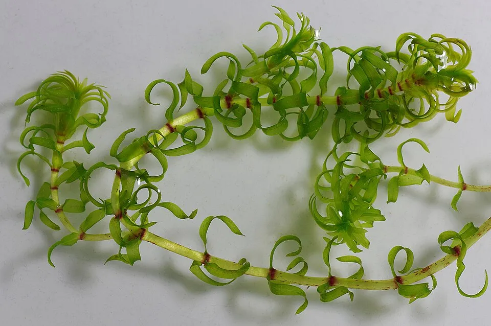 Western waterweedEU
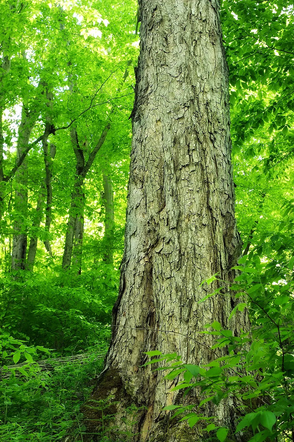 Northern red oak
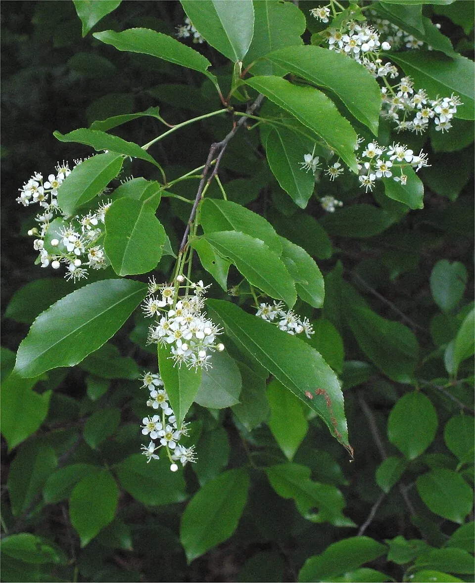 Black cherry
 Campylopus moss
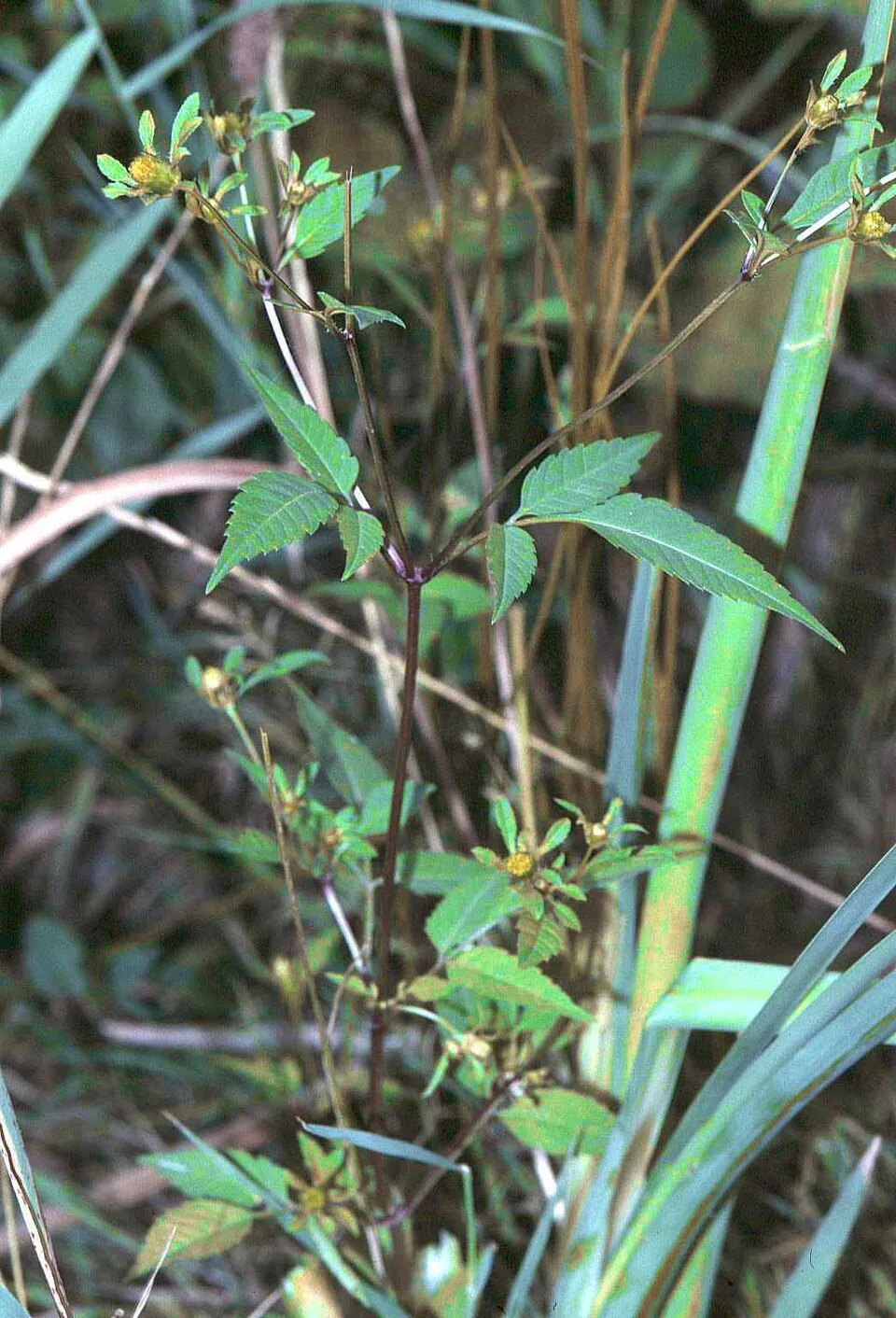 Beggarticks
 Japanese rose
Photos: Egyptian Goose © Rhododendrites · CC BY-SA 4.0; Himalayan Balsam © Guptaele · CC BY-SA 4.0; Western waterweed © Christian Fischer · CC BY-SA 3.0; Northern red oak © Nicholas A. Tonelli from Northeast Pennsylvania, USA · CC BY 2.0; Black cherry © Rasbak · CC BY-SA 3.0; Campylopus moss © Kristian Peters -- Fabelfroh · CC BY-SA 3.0; Beggarticks © Fornax · CC BY-SA 3.0; Japanese rose © Vihljun · Public domain
Sources: Global Forest Change (Hansen et al., University of Maryland, via Global Forest Watch, CC-BY 4.0); EFFIS, European Commission / Copernicus; NASA Black Marble 2016 (public domain); CORINE Land Cover 2018 (Copernicus) or MODIS.
CORINE Land Cover Change 1990–2018: generated using European Union's Copernicus Land Monitoring Service information (EEA), aggregated by Parkavela; DOI 10.2909/f30f1000-7cf8-43bb-872c-5eb093911b24.
Invasive alien species: Global Register of Introduced and Invasive Species (ISSG, CC BY 4.0); Union list, Regulation (EU) 1143/2014 (INBO, CC0); GBIF.org records (CC0 / CC BY 4.0), at least 2 per species.
Practical information
Cities and airport
- Heerenveen
13 km as the crow flies - Assen
15 km as the crow flies - Airport: Groningen Airport Eelde (GRQ)
26 km as the crow flies
Visitor information
- Informatiecentrum Het Drentse Landschap/Natuurmonumenten (onbemand)
within the site - Puur in diever
< 1 km from the site boundary - Natuurpoort Hoogersmilde
< 1 km from the site boundary - Bezoekerscentrum Dieversluis
2 km from the site boundary
Parking
10 public car parks listed within the site
Aekingerzand
Hiking
108 waymarked routes listed
By bike
LF9 NAP-route · 13 km
Signed cycle routes: this does not mean that cycling is allowed on footpaths.
Data © OpenStreetMap contributors (ODbL) · Wikidata (CC0)
Routes © OpenStreetMap contributors (ODbL), via Waymarked Trails
Waymarked hiking routes
WNPDF Wandelroute Nationaal Park Drents-Friese Wold, Diever
7.9 km within the site ↗ 16 m↘ 16 m 8–20 m
Diever Ommetje Midzomernachtdroom
3.1 km within the site ↗ 5 m↘ 11 m 7–19 m
Tracks © OpenStreetMap contributors (ODbL), clipped to the boundary; elevation gain and profiles computed on the longest section from Mapzen Terrain Tiles (≈ 30 m), indicative only.
Bathing
3 monitored bathing sites in or within 1 km of the site · 2025 classification
Excellent · 3
- Canadameer, Appelscha · lake · Excellent
- Drentse Weelde · lake · Excellent
- Het Landschap - de Waterse Koele · lake · Excellent
Source: European Environment Agency, official bathing water classification (Directive 2006/7/EC, CC-BY 4.0). Swimming is only permitted at the sites and times authorised locally.
Access and visiting
The nearest railway station is Beilen, about 11 km from the site boundary. Nearest towns of over 50,000 people, as the crow flies: Heerenveen (13 km) and Assen (15 km). Nearest airport: Groningen Airport Eelde (GRQ), about 26 km away. About 360,000 people live within 20 km of the site boundary, 64,000 of them within 10 km; some 1,200 people are estimated to live inside (GHSL estimate, 2020). This population has grown by about 10% since 2000. Visitor information on site: Informatiecentrum Het Drentse Landschap/Natuurmonumenten (onbemand), Puur in diever and Natuurpoort Hoogersmilde. Public car parks listed within the site: 10, including Aekingerzand. Waymarked hiking routes listed in OpenStreetMap: 108. A signed cycle route crosses the site: “LF9 NAP-route” (OpenStreetMap). To see: 2 lakes and ponds, including Apepoel and Grenspoel. To plan a visit (access, opening periods, visitor rules), it is best to consult the official information from the managing body (Staatsbosbeheer) and the official website listed in this page's sources.
Source: OpenStreetMap (ODbL), Wikidata (CC0), October 2026.
Built heritage
According to Wikidata, one monument listed in the Dutch national register of monuments (Rijksmonumentenregister) stands within the boundary. It is “Voermanswoning van Staatsbosbeheer in ambachtelijk-traditionele stijl” in Ooststellingwerf.
Source: Wikidata (CC0), monuments in each country’s official heritage protection registers, at national or regional level. Each item links to its Wikidata entry.
When to visit
Best time to visit: May and June, with average temperatures of 12 to 16 °C and moderate rainfall. Day length ranges from about 7 h 36 min in December to 16 h 53 min in June. Wildlife records published on GBIF peak for birds (May and June), plants (from June to August), butterflies and moths (July), dragonflies (from June to August) and mammals (May and June). These peaks also reflect when observers are most active.
Source: Copernicus ERA5-Land (C3S), monthly averages 1996–2025 at the representative point, temperatures adjusted for elevation.
Contains modified Copernicus Climate Change Service information 2026. Neither the European Commission nor ECMWF is responsible for any use that may be made of the Copernicus information or data it contains.
Wildlife records calendar
JFMAMJJASOND
Birds
Plants
Butterflies & moths
Dragonflies
Mammals
Monthly records published on GBIF (CC-BY), relative to the busiest month; also reflects observer activity.
Gallery
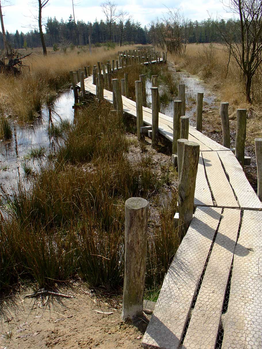
© Gouwenaar · Public domain
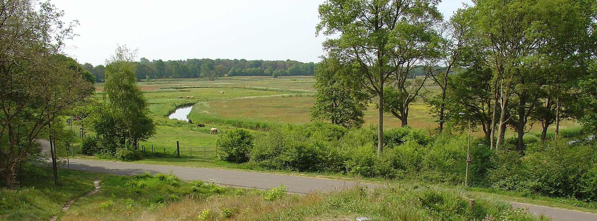
© DymphieH · CC BY 2.0
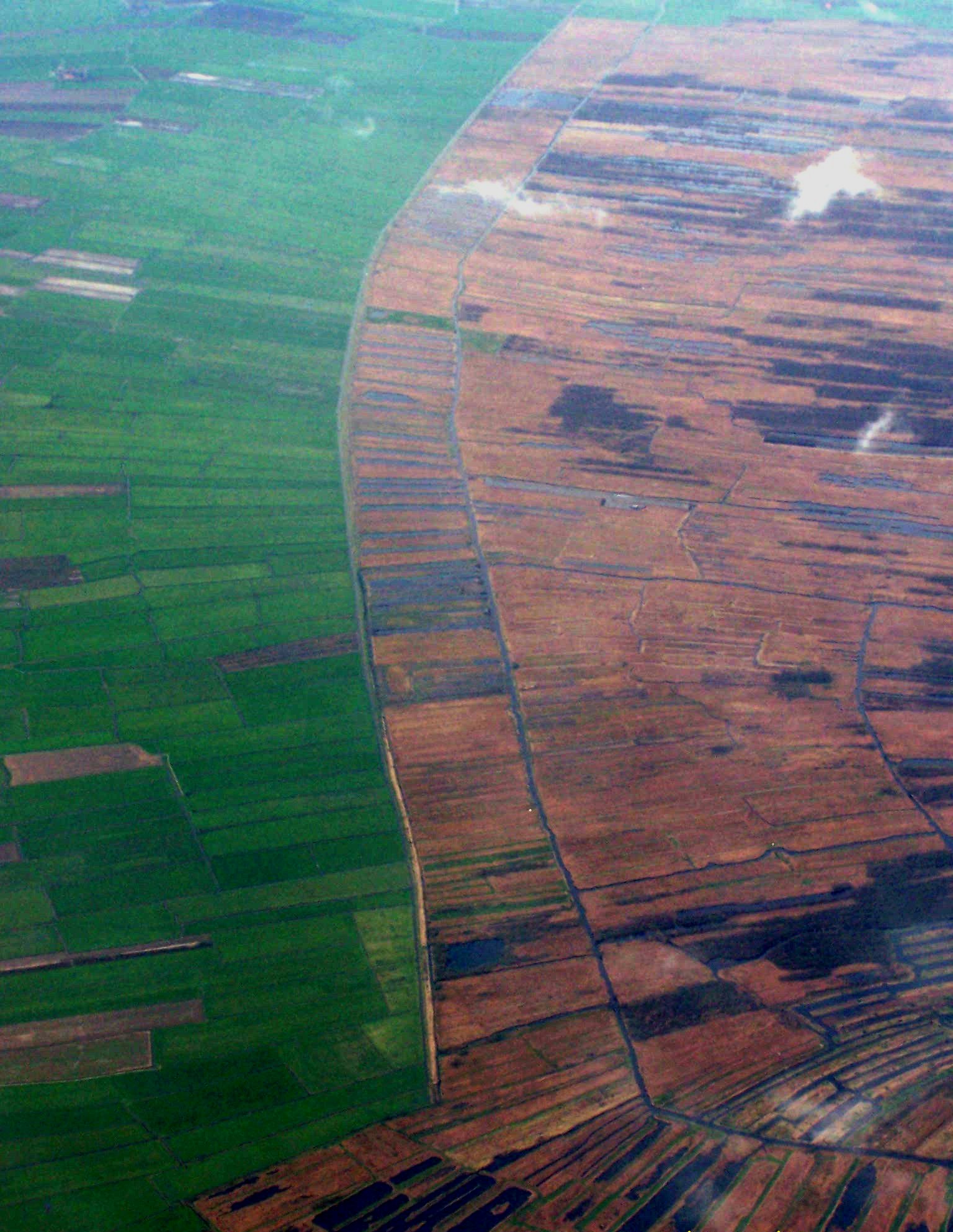
© Uberprutser · CC BY-SA 3.0
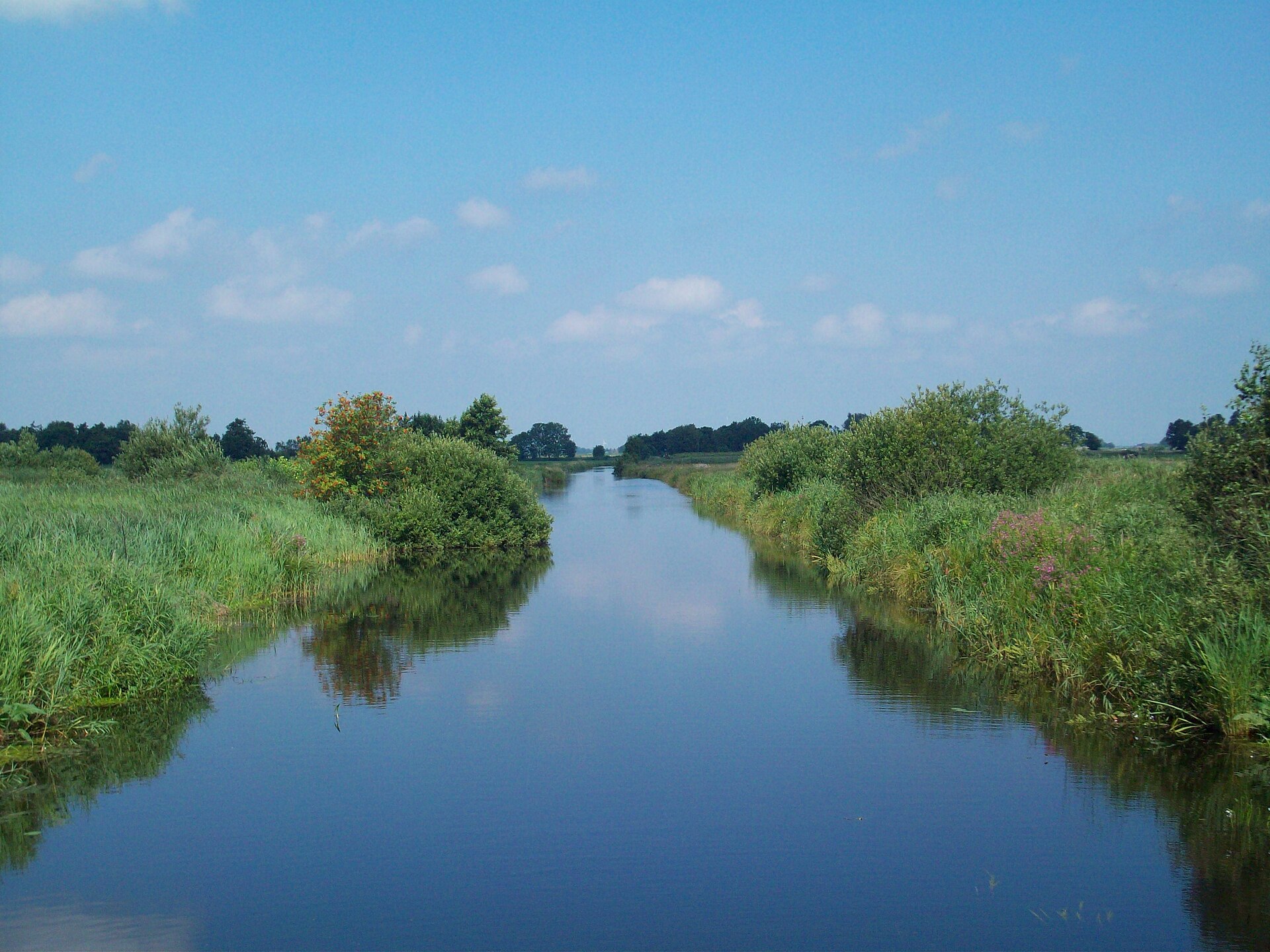
© WeeJeeVee · CC BY-SA 3.0
© Dominicus Johannes Bergsma · CC BY-SA 3.0
© JePe · CC BY-SA 3.0
Sources and licences
- Wikidata: Q1113318
- OpenStreetMap: relation 2746167
- Official website: http://www.nationaalpark-drents-friese-wold.nl/
- Wikipedia: en.wikipedia.org/wiki/Drents-Friese_Wold_National_Park
- WDPA: 331440
References
- cds.climate.copernicus.eu: climate · CC-BY-4.0
- registry.opendata.aws: elevation of the reference point, detailed relief · PD
- land.copernicus.eu: land cover, land cover change, sea share · COPERNICUS
- doi.org: population around the site · CC-BY-4.0
- wikidata.org: official area, establishment date, protected heritage, managing body, official name, nearby cities and airport, access and peaks, lake depths, places to see, official website · CC0-1.0
- eea.europa.eu: bathing water quality, ecological status of waters · CC-BY-4.0
- en.eurovelo.com: EuroVelo cycle routes · ODbL-1.0
- cycling.waymarkedtrails.org: cycle routes · ODbL-1.0
- opentopodata.org: elevations · PD
- forest-fire.emergency.copernicus.eu: wildfires · COPERNICUS
- globalforestwatch.org: tree cover loss · CC-BY-4.0
- gbif.org: seasonality of sightings, invasive alien species, observed species · CC-BY-4.0
- europe-geology.eu: geology · CC-BY-4.0
- hydrosheds.org: lakes · CC-BY-4.0
- natura2000.eea.europa.eu: Natura 2000 habitats and species · CC-BY-4.0
- earthobservatory.nasa.gov: night light · PD
- openstreetmap.org: access and peaks · ODbL-1.0
- hiking.waymarkedtrails.org: route difficulty · ODbL-1.0
- nsidc.org: snow cover · PD
- wikidata.org: Wikipedia article · CC-BY-SA-4.0
Data © OpenStreetMap contributors (ODbL), Wikidata (CC0) and the sources cited.