
Netherlands · Terrestrial
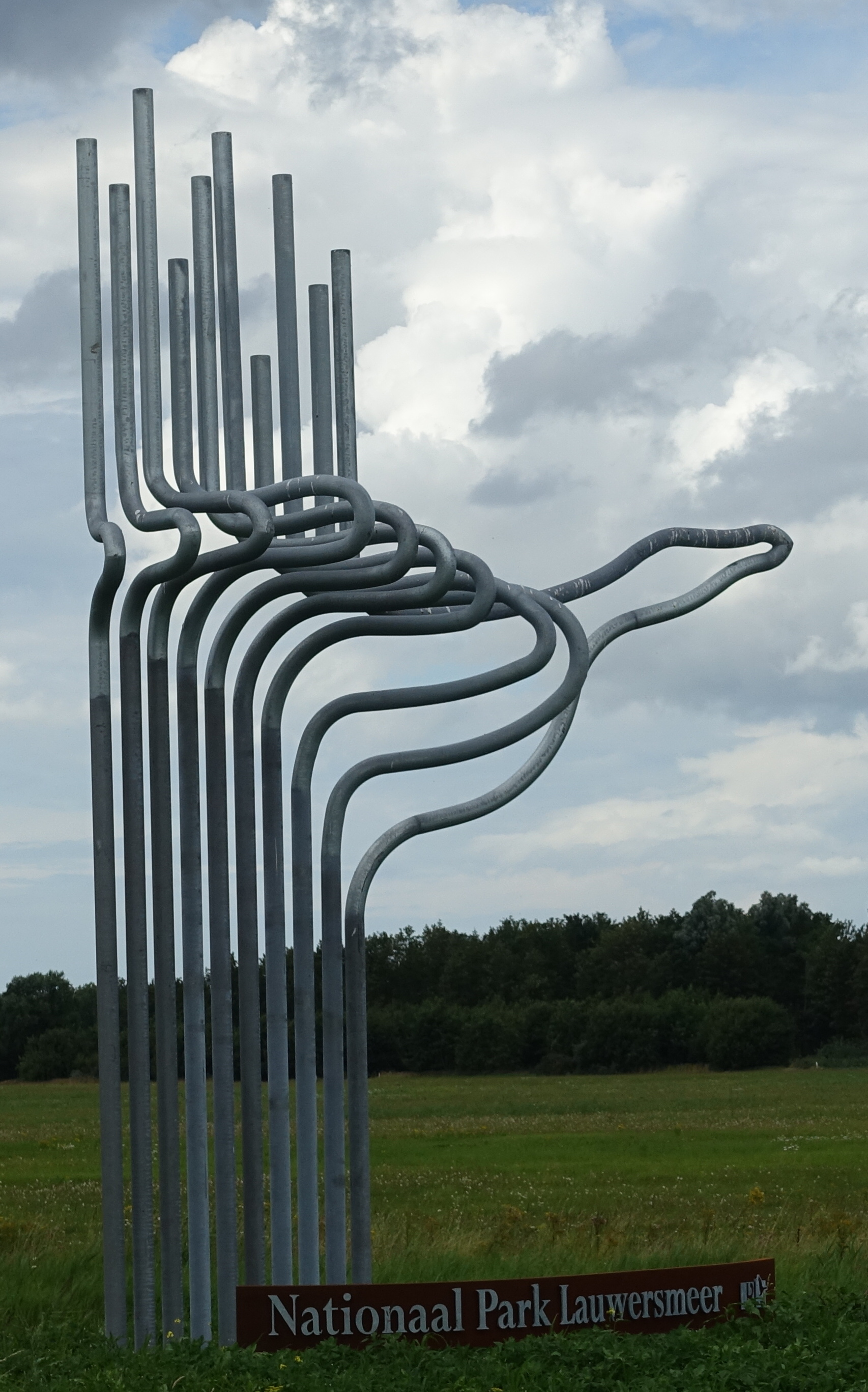
Lauwersmeer National Park
National park of 6,000 hectares in the Netherlands, established in 2003.
Overview
National park of 6,000 hectares in the Netherlands, established in 2003.
Lauwersmeer National Park is located in the Netherlands (Europe). It is a predominantly terrestrial area. Established on 12 November 2003, it covers about 6,000 hectares.
Protections and designations
Ramsar site
Dark Sky Place
Natura 2000 · birds (SPA)
- Lauwersmeer NL9802012
Protected as a national park. International labels and designations: Ramsar site (“Lauwersmeer”), Dark Sky Place and Natura 2000 network (1 site: “Lauwersmeer”). Key dates: first Natura 2000 site under the Birds Directive in 2000 and established in 2003.
In our collections
Timeline
-
2000
First Natura 2000 site under the Birds Directive
-
2003
Established
Sources: Wikidata (CC0) for establishment and international labels; EEA Natura 2000 database (CC-BY 4.0) for site designation dates.
Frequently asked questions
Where is Lauwersmeer National Park?
In the Netherlands (Europe). Representative point: 53.3639° N, 6.1997° E.
How large is Lauwersmeer National Park?
About 6,000 hectares (60 km²). It is the 10th largest of the 26 national parks in the Netherlands covered by Parkavela.
When was Lauwersmeer National Park established?
On 12 November 2003.
What habitats and landscapes does Lauwersmeer National Park include?
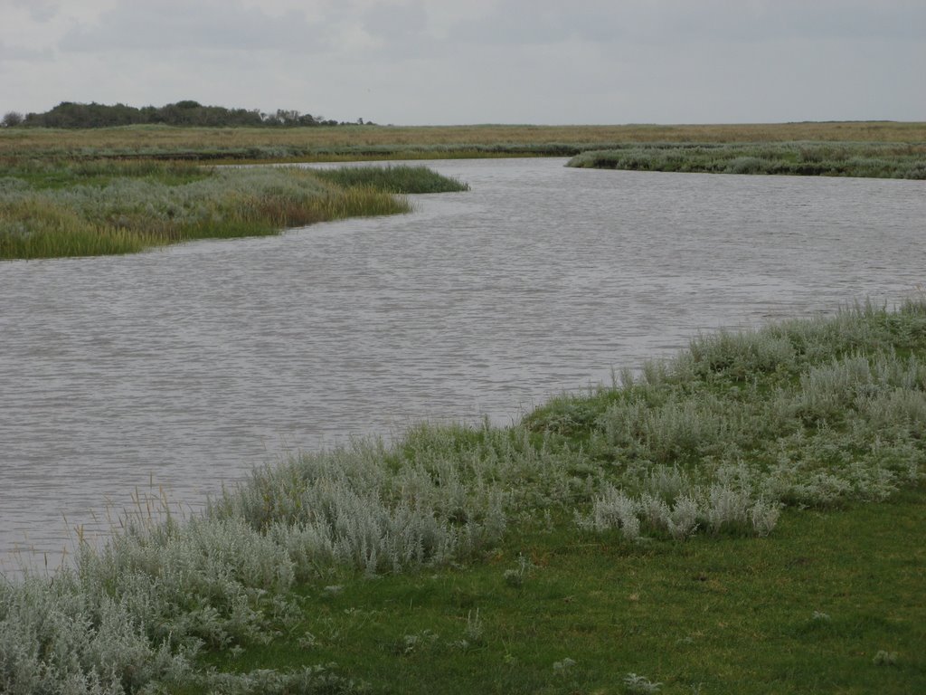
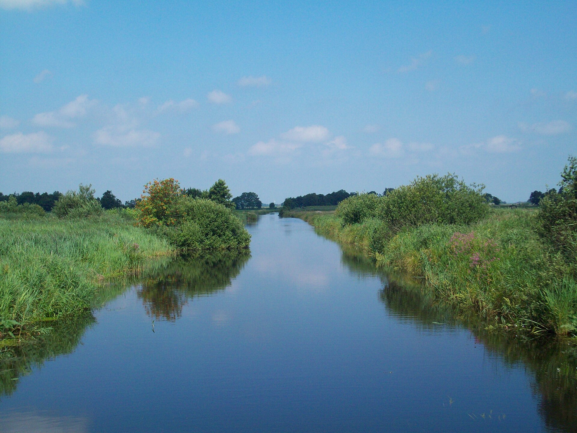
A terrestrial area, with wetlands and freshwater.
What rocks lie beneath Lauwersmeer National Park?
According to the European 1:1 million geological map (EGDI), the bedrock consists mainly of sands and gravels (100% of sampled points). These are mostly sedimentary rocks. The geological units date mainly from the Quaternary (100% of sampled points).
Which international labels apply to Lauwersmeer National Park?
Ramsar site (“Lauwersmeer”), Dark Sky Place and Natura 2000 network (1 site: “Lauwersmeer”).
When is the best time to visit Lauwersmeer National Park?
Best time to visit: May and June, with average temperatures of 12 to 16 °C and moderate rainfall.
Can you swim in Lauwersmeer National Park?
8 monitored bathing sites lie in or within 1 km of the site; official 2025 classification: 5 excellent, 2 good and 1 sufficient (European Environment Agency). Swimming is only permitted at the sites and times authorised locally.
What is the nearest large city to Lauwersmeer National Park?
Nearest towns of over 50,000 people, as the crow flies: Groningen (22 km) and Leeuwarden (28 km). Nearest airport: Groningen Airport Eelde (GRQ), about 30 km away.
How can I reach Lauwersmeer National Park by train?
The nearest railway station is Grijpskerk, about 8 km from the site boundary.
Where can I get visitor information on site?
Lauwersnest, Receptie and Landal Suyderoogh Reception.
Are there waymarked hiking trails in Lauwersmeer National Park?
Yes. Waymarked hiking routes listed in OpenStreetMap: 11, including Friese Woudenpad.
Which species can be seen in Lauwersmeer National Park?
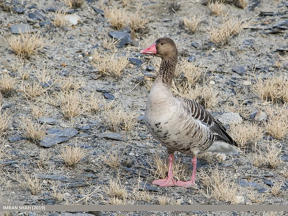
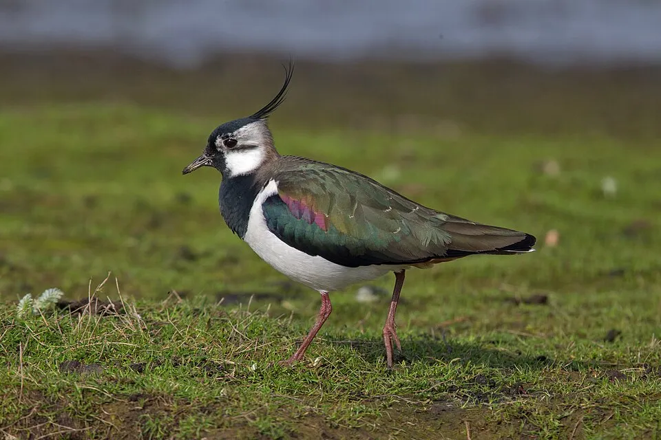
Among the species most often recorded on GBIF are Larus fuscus (Lesser Black-backed Gull), Cameraria ohridella (Horse-chestnut leaf miner), Anser anser (Greylag Goose) and Vanellus vanellus (Northern Lapwing).
What is the official website of Lauwersmeer National Park?
© OpenStreetMap
Download the boundary: GeoJSON · GPX Boundary © OpenStreetMap contributors (ODbL).
Geography
Over the 1996–2025 period, the mean annual temperature is about 10.3 °C and total precipitation reaches roughly 848 mm per year. The warmest month is usually August, the coolest January, and the wettest August. According to the European 1:1 million geological map (EGDI), the bedrock consists mainly of sands and gravels (100% of sampled points). These are mostly sedimentary rocks. The geological units date mainly from the Quaternary (100% of sampled points). The site contains 2 lakes larger than 10 ha, totalling 21.6 km² of water (HydroLAKES).
Area
- Area
- 6,000 ha
- Lakes over 10 ha
- 2 (21.6 km²)
- Coordinates
- 53.3639, 6.1997
Lakes: HydroLAKES (Messager et al. 2016, hydrosheds.org, CC BY 4.0) · depths: Wikidata (CC0)
Bedrock
- Sands and gravels 100 %
Sedimentary rocks 100 % · Main age: Quaternary (100%)
Source: EGDI 1:1M geological map (EuroGeoSurveys and national geological surveys), CC BY 4.0 · 16 sampled points within the site.
Climate
● Mean temperature (°C) · ▮ Precipitation (mm)
Source: Copernicus ERA5-Land (C3S, doi:10.24381/cds.68d2bb30), monthly averages 1996–2025 interpolated to the representative point, temperatures adjusted for elevation.
Contains modified Copernicus Climate Change Service information 2026. Neither the European Commission nor ECMWF is responsible for any use that may be made of the Copernicus information or data it contains.
Natural habitats
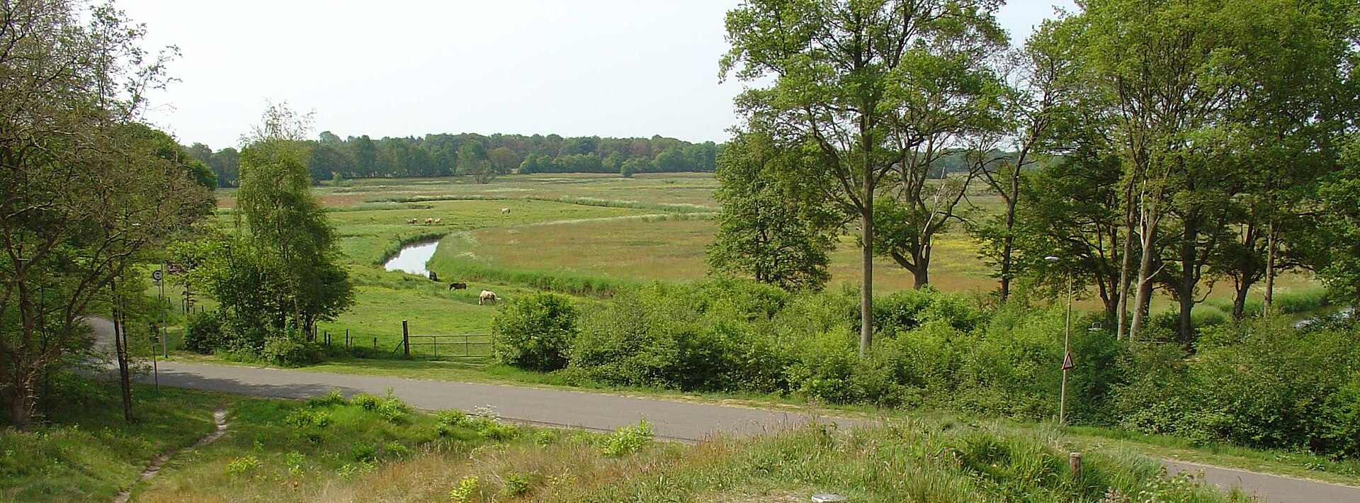
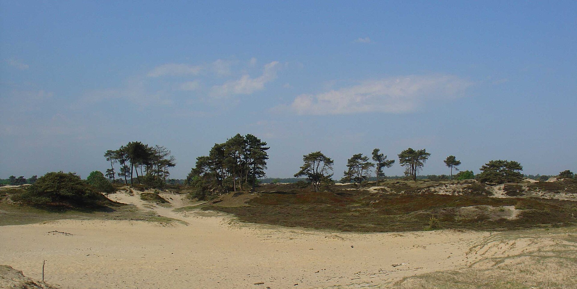
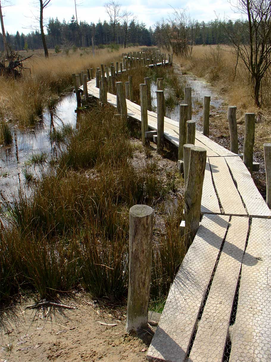
According to CORINE Land Cover (2018), the site is mainly made up of lakes and rivers (44%), marshes and bogs (37%) and grassland and meadows (15%). The land is almost flat (mean slope under 2°).
Biodiversity
Based on occurrences aggregated by GBIF, several species are regularly recorded within the site. Among the most frequent are Larus fuscus (Lesser Black-backed Gull), Cameraria ohridella (Horse-chestnut leaf miner), Anser anser (Greylag Goose) and Vanellus vanellus (Northern Lapwing). The full list of documented taxa is shown below. The overlapping Natura 2000 site lists 40 species of European interest: 40 birds.
Species of European interest
Birds · 40
Sedge warbler (Acrocephalus schoenobaenus) breeding, Northern Pintail (Anas acuta) wintering, Eurasian Teal (Anas crecca) wintering, Mallard (Anas platyrhynchos) wintering, Greater white-fronted goose (Anser albifrons) wintering, Greylag Goose (Anser anser) wintering, Lesser white-fronted goose (Anser erythropus) wintering, Short-eared Owl (Asio flammeus) resident, Common Pochard (Aythya ferina) wintering, Tufted Duck (Aythya fuligula) wintering, Eurasian Bittern (Botaurus stellaris) resident, Barnacle goose (Branta leucopsis) wintering and 28 more
Source: Natura 2000 standard data forms (EEA, CC-BY 4.0). Not exhaustive: sensitive species are not published.
Species to look out for


Observed species
Occurrences documented via GBIF; they are neither an exhaustive inventory nor proof of current presence.
- Lesser Black-backed Gull · Larus fuscus · 5115
- Horse-chestnut leaf miner · Cameraria ohridella · 1300
- Greylag Goose · Anser anser · 1238
- Northern Lapwing · Vanellus vanellus · 1092
- Mallard · Anas platyrhynchos · 1035
- Common Shelduck · Tadorna tadorna · 1018
- Barnacle goose · Branta leucopsis · 949
- Mute Swan · Cygnus olor · 906
- Gadwall · Mareca strepera · 902
- Common Coot · Fulica atra · 835
- Northern Shoveler · Spatula clypeata · 826
- Creeping Bent · Agrostis stolonifera · 808
+18 more species
- Common reed · Phragmites australis · 806
- Western Marsh Harrier · Circus aeruginosus · 780
- Black-headed Gull · Chroicocephalus ridibundus · 773
- Great Egret · Ardea alba · 742
- Eurasian Teal · Anas crecca · 722
- Tufted Duck · Aythya fuligula · 703
- Grey Heron · Ardea cinerea · 685
- Pied Avocet · Recurvirostra avosetta · 672
- Great Cormorant · Phalacrocorax carbo · 669
- Ruff · Calidris pugnax · 658
- Common Starling · Sturnus vulgaris · 641
- Carrion crow · Corvus corone · 609
- White Wagtail · Motacilla alba · 596
- Reed Bunting · Emberiza schoeniclus · 586
- Common Buzzard · Buteo buteo · 585
- Water mint · Mentha aquatica · 566
- Eurasian Wigeon · Mareca penelope · 562
- Common Redshank · Tringa totanus · 561
Records: GBIF.org (CC-BY). Names: Wikidata (CC0), GBIF. Photos: Wikimedia Commons.
Conservation challenges
The primary purpose of the site is to preserve its natural habitats and the biodiversity they support. The species recorded (Biodiversity tab) reflect its ecological value. The designations it holds frame its management and the control of land use.
According to the European CORINE Land Cover inventory (Copernicus), land cover changed on about 550 ha of the site between 1990 and 2018 (10% of its area): farmland shrank by 550 ha, mostly giving way to wetlands, while wetlands grew by 550 ha, mostly at the expense of farmland. At night, the area gives off virtually no artificial light detectable from space (NASA VIIRS Black Marble composite, 2016). According to the Water Framework Directive assessment (2022 river basin management plans, data 2015–2020), water bodies assessed within the site: lakes, 0 of 1 in good ecological status or better. Since 2000, 15 invasive alien species have been recorded within the site (GBIF observations), 6 of them listed as of Union concern under EU Regulation 1143/2014. Among them: Alopochen aegyptiaca (Egyptian Goose), Heracleum mantegazzianum (Giant Hogweed) and Celastrus orbiculatus (Oriental bittersweet).
Pressure indicators
Tree cover lost
2 ha
2001–2023 · < 1% of the area
20012023
Fires since 2016
0
No large fire mapped (fires over about 30 ha)
Light at night
0%
of the area gives off artificial light visible from space
DarkLit
Built-up land
< 1%
buildings, business areas, roads, quarries · farmland 2%
Land cover change
550 ha
changed cover, 1990–2018 · CORINE · 10% of the area
- −550 ha · farmland
- +550 ha · wetlands
Rivers and lakes
Lakes: 0 of 1 good or better
assessments 2015–2020
Invasive alien species
15
incl. 6 of EU concern · since 2000
 Egyptian GooseEU
 Giant HogweedEU
 Oriental bittersweetEU
 Himalayan BalsamEU
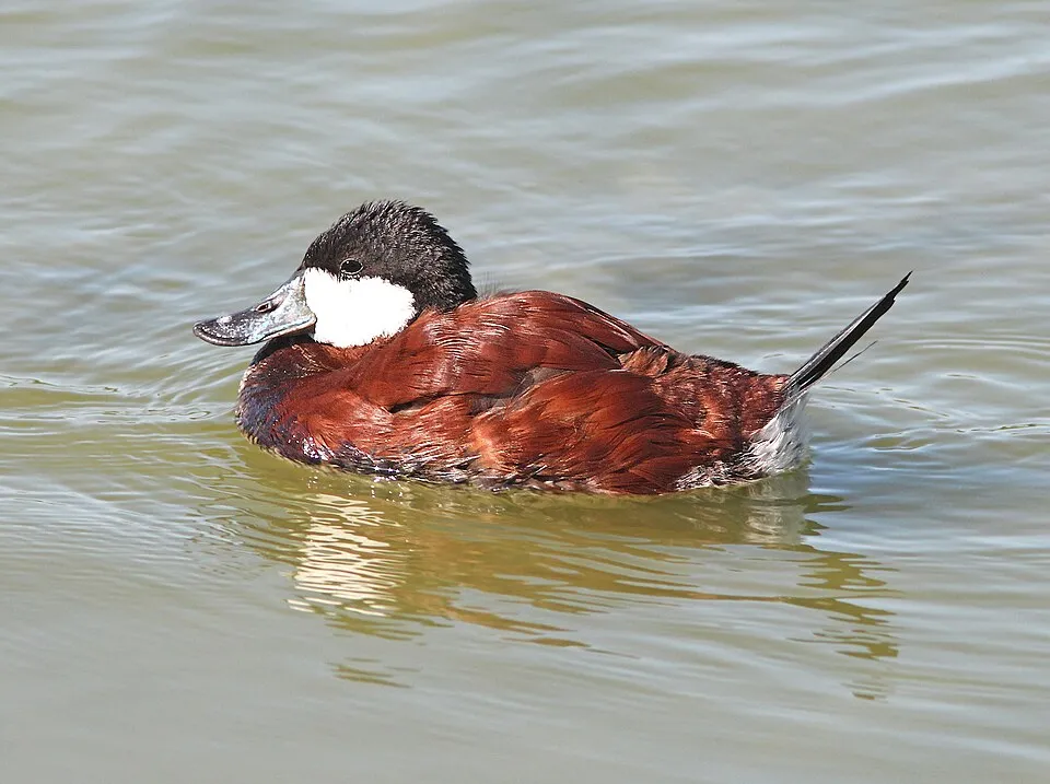 Ruddy DuckEU
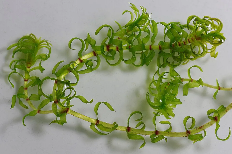 Western waterweedEU
 Horse-chestnut leaf miner
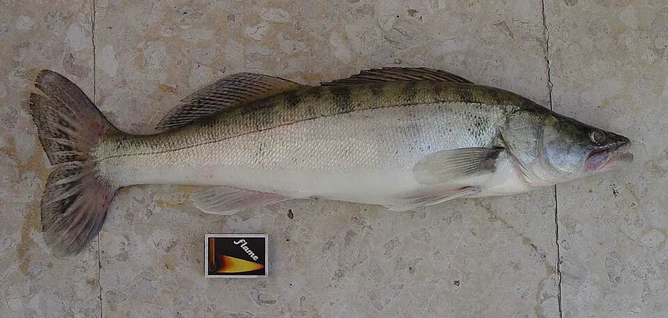 Zander
Photos: Egyptian Goose © Rhododendrites · CC BY-SA 4.0; Giant Hogweed © anastasiiamerkulova · CC BY 4.0; Oriental bittersweet © Roo72 · Public domain; Himalayan Balsam © Guptaele · CC BY-SA 4.0; Ruddy Duck © ALAN SCHMIERER · CC0-1.0; Western waterweed © Christian Fischer · CC BY-SA 3.0; Horse-chestnut leaf miner © Carlos Lopez-Vaamonde, David Agassiz, Sylvie Augustin, Jurate De Prins, Willy De Prins, Stanislav Gomboc, Povilas Ivinskis, Ole Karsholt, Athanasios Koutroumpas, Fotini Koutroumpa, Zdeněk Laštůvka, Eduardo Marabuto, Elisenda Olivella, Luka… · CC BY 3.0; Zander © eLNuko · Public domain
Sources: Global Forest Change (Hansen et al., University of Maryland, via Global Forest Watch, CC-BY 4.0); EFFIS, European Commission / Copernicus; NASA Black Marble 2016 (public domain); CORINE Land Cover 2018 (Copernicus) or MODIS.
CORINE Land Cover Change 1990–2018: generated using European Union's Copernicus Land Monitoring Service information (EEA), aggregated by Parkavela; DOI 10.2909/f30f1000-7cf8-43bb-872c-5eb093911b24.
Ecological status of water bodies: European Environment Agency, WISE – Water Framework Directive, 3rd river basin management plans (2022), CC BY 4.0. Official national classification, not comparable between countries.
Invasive alien species: Global Register of Introduced and Invasive Species (ISSG, CC BY 4.0); Union list, Regulation (EU) 1143/2014 (INBO, CC0); GBIF.org records (CC0 / CC BY 4.0), at least 2 per species.
Practical information
Cities and airport
- Groningen
22 km as the crow flies - Leeuwarden
28 km as the crow flies - Airport: Groningen Airport Eelde (GRQ)
30 km as the crow flies
Visitor information
- Lauwersnest
< 1 km from the site boundary - Receptie
< 1 km from the site boundary - Landal Suyderoogh Reception
< 1 km from the site boundary
Parking
5 public car parks listed within the site
Hiking
11 waymarked routes listed, including:
Friese Woudenpad
By bike
EV12 · 5 km LF14 Saksenroute · 4 km
Signed cycle routes: this does not mean that cycling is allowed on footpaths.
Data © OpenStreetMap contributors (ODbL) · Wikidata (CC0)
Contains information from EuroVelo GPX tracks downloaded from www.EuroVelo.com on 2026-10-22, which is made available here under the Open Database License (ODbL). EuroVelo® is a registered trademark of the ECF. Routes © OpenStreetMap contributors (ODbL), via Waymarked Trails
Bathing
8 monitored bathing sites in or within 1 km of the site · 2025 classification
Excellent · 5
Good · 2
Sufficient · 1
- Lauwersmeer, Strand Brilduiker · lake · Excellent
- Lauwersmeer, Strand Kleine Zwaan · lake · Excellent
- Lauwersmeer, Strand Meerkoet · lake · Excellent
- Strand Zoutkamp · lake · Excellent
- Suyderoogh, Lauwersoog · lake · Excellent
- Lauwersmeer, Strand Lepelaar · lake · Good
- Lauwersmeer, Strand Zeearend · lake · Good
- Lauwersmeer Oostmahorn, Oostmahorn · lake · Sufficient
Source: European Environment Agency, official bathing water classification (Directive 2006/7/EC, CC-BY 4.0). Swimming is only permitted at the sites and times authorised locally.
Access and visiting
The nearest railway station is Grijpskerk, about 8 km from the site boundary. Nearest towns of over 50,000 people, as the crow flies: Groningen (22 km) and Leeuwarden (28 km). Nearest airport: Groningen Airport Eelde (GRQ), about 30 km away. About 230,000 people live within 20 km of the site boundary, 54,000 of them within 10 km; some 490 people are estimated to live inside (GHSL estimate, 2020). Visitor information on site: Lauwersnest, Receptie and Landal Suyderoogh Reception. Public car parks listed within the site: 5. Waymarked hiking routes listed in OpenStreetMap: 11, including Friese Woudenpad. The EuroVelo 12 cycle route (North Sea Cycle Route) crosses the site for about 5 km, mostly developed and signed; another signed cycle route also passes through: “LF14 Saksenroute” (EuroVelo, OpenStreetMap). To plan a visit (access, opening periods, visitor rules), it is best to consult the official information from the managing body and the official website listed in this page's sources.
Source: OpenStreetMap (ODbL), Wikidata (CC0), October 2026.
When to visit
Best time to visit: May and June, with average temperatures of 12 to 16 °C and moderate rainfall. Day length ranges from about 7 h 31 min in December to 16 h 58 min in June. Wildlife records published on GBIF peak for birds (May), plants (June and July), butterflies and moths (August), dragonflies (August) and mammals (from December to February). These peaks also reflect when observers are most active.
Source: Copernicus ERA5-Land (C3S), monthly averages 1996–2025 at the representative point, temperatures adjusted for elevation.
Contains modified Copernicus Climate Change Service information 2026. Neither the European Commission nor ECMWF is responsible for any use that may be made of the Copernicus information or data it contains.
Wildlife records calendar
JFMAMJJASOND
Birds
Plants
Butterflies & moths
Dragonflies
Mammals
Monthly records published on GBIF (CC-BY), relative to the busiest month; also reflects observer activity.
Gallery
© Ellywa · CC BY-SA 4.0
© Dominicus Johannes Bergsma · CC BY-SA 4.0
© Agnes Monkelbaan · CC BY-SA 4.0
© Baykedevries · CC BY-SA 3.0
© Ellywa · CC BY-SA 4.0
© JakobHosp · CC BY-SA 4.0
Sources and licences
- Wikidata: Q1651298
- OpenStreetMap: relation 7897852
- Official website: http://www.np-lauwersmeer.nl
- Wikipedia: en.wikipedia.org/wiki/Lauwersmeer_National_Park
- WDPA: 331633
References
- cds.climate.copernicus.eu: climate · CC-BY-4.0
- registry.opendata.aws: elevation of the reference point, detailed relief · PD
- land.copernicus.eu: land cover, land cover change, sea share · COPERNICUS
- doi.org: population around the site · CC-BY-4.0
- wikidata.org: official area, establishment date, protected heritage, nearby cities and airport, access and peaks, lake depths, places to see, official website · CC0-1.0
- eea.europa.eu: bathing water quality, ecological status of waters · CC-BY-4.0
- en.eurovelo.com: EuroVelo cycle routes · ODbL-1.0
- cycling.waymarkedtrails.org: cycle routes · ODbL-1.0
- opentopodata.org: elevations · PD
- forest-fire.emergency.copernicus.eu: wildfires · COPERNICUS
- globalforestwatch.org: tree cover loss · CC-BY-4.0
- gbif.org: seasonality of sightings, invasive alien species, observed species · CC-BY-4.0
- europe-geology.eu: geology · CC-BY-4.0
- hydrosheds.org: lakes · CC-BY-4.0
- natura2000.eea.europa.eu: Natura 2000 habitats and species · CC-BY-4.0
- openstreetmap.org: official name, access and peaks, trail difficulty, wheelchair access · ODbL-1.0
- earthobservatory.nasa.gov: night light · PD
- nsidc.org: snow cover · PD
- wikidata.org: Wikipedia article · CC-BY-SA-4.0
Data © OpenStreetMap contributors (ODbL), Wikidata (CC0) and the sources cited.