Netherlands · Mixed
Schiermonnikoog National Park
National park of 5,400 hectares in the Netherlands, established in 1989.
Overview
National park of 5,400 hectares in the Netherlands, established in 1989.
Schiermonnikoog National Park is located in the Netherlands (Europe). It covers both land and sea. Established in 1989, it covers about 5,400 hectares.
Protections and designations
UNESCO World Heritage
Ramsar site
Natura 2000 · habitats (SAC) · 2 sites
- Duinen Schiermonnikoog NL3009006
- Waddenzee NL1000001
Natura 2000 · birds (SPA) · 2 sites
- Duinen Schiermonnikoog NL3009006
- Waddenzee NL9801001
Protected as a national park. International labels and designations: UNESCO World Heritage (“Wadden Sea”), Ramsar site (“Duinen Schiermonnikoog”) and Natura 2000 network (3 sites). Key dates: established in 1989, first Natura 2000 site under the Birds Directive in 1991, Ramsar Site in 2000, World Heritage listing in 2009 and first Natura 2000 site under the Habitats Directive in 2009.
In our collections
Timeline
-
1989
Established
-
1991
First Natura 2000 site under the Birds Directive 2 such sites designated up to 2000
-
2000
Ramsar Site (wetland of international importance) Duinen Schiermonnikoog
-
2009
Inscribed as a UNESCO World Heritage Site Wadden Sea
-
2009
First Natura 2000 site under the Habitats Directive 2 such sites designated up to 2009
Sources: Wikidata (CC0) for establishment and international labels; EEA Natura 2000 database (CC-BY 4.0) for site designation dates.
Frequently asked questions
Where is Schiermonnikoog National Park?
In the Netherlands (Europe). Representative point: 53.4893° N, 6.2320° E.
How large is Schiermonnikoog National Park?
About 5,400 hectares (54 km²). It is the 13th largest of the 26 national parks in the Netherlands covered by Parkavela. About 1,500 ha are at sea.
When was Schiermonnikoog National Park established?
In 1989.
What habitats and landscapes does Schiermonnikoog National Park include?
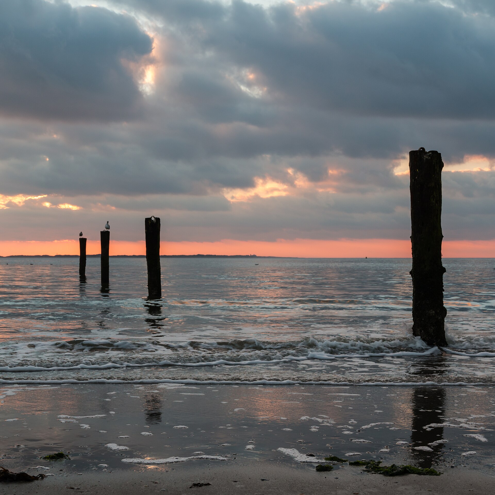
An area spanning land and sea, with wetlands and coasts.
What rocks lie beneath Schiermonnikoog National Park?
According to the European 1:1 million geological map (EGDI), the bedrock consists mainly of sands and gravels (100% of sampled points). These are mostly sedimentary rocks. The geological units date mainly from the Quaternary (100% of sampled points).
What is the highest point of Schiermonnikoog National Park?
Poelmansduin, at 20 m (OpenStreetMap).
Which international labels apply to Schiermonnikoog National Park?
UNESCO World Heritage (“Wadden Sea”), Ramsar site (“Duinen Schiermonnikoog”) and Natura 2000 network (3 sites).
When is the best time to visit Schiermonnikoog National Park?
Best time to visit: from May to October, with average temperatures of 11 to 18 °C and moderate rainfall.
What is there to see in Schiermonnikoog National Park?
Westerplas (lake or pond) (Wikidata).
Can you swim in Schiermonnikoog National Park?
2 monitored bathing sites lie in or within 1 km of the site; official 2025 classification: 1 excellent and 1 good (European Environment Agency). Swimming is only permitted at the sites and times authorised locally.
What is the nearest large city to Schiermonnikoog National Park?
Nearest towns of over 50,000 people, as the crow flies: Groningen (35 km) and Leeuwarden (36 km). Nearest airport: Groningen Airport Eelde (GRQ), about 45 km away.
How can I reach Schiermonnikoog National Park by train?
The nearest railway station is Warffum, about 19 km from the site boundary.
Where can I get visitor information on site?
Informatiecentrum Het Baken and VVV Schiermonnikoog.
Are there waymarked hiking trails in Schiermonnikoog National Park?
Yes. Waymarked hiking routes listed in OpenStreetMap: 4, including WaddenWandelen. The “SP4-Sc · WaddenWandelen - Schiermonnikoog - 03” route runs for about 9 km through the site.
Which species can be seen in Schiermonnikoog National Park?
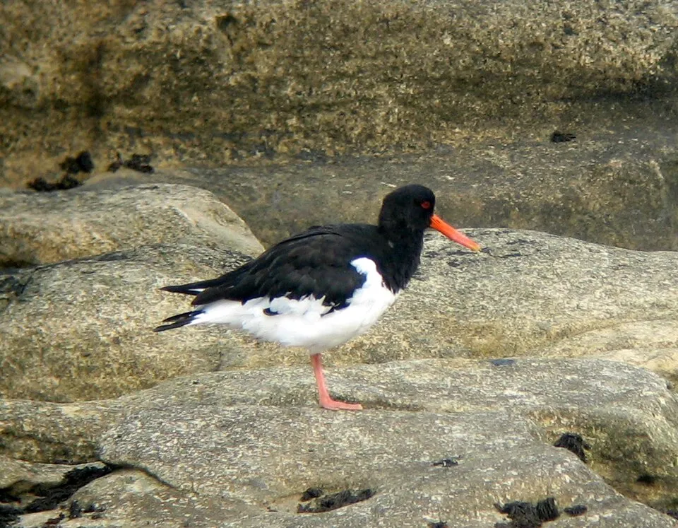
Among the species most often recorded on GBIF are Haematopus ostralegus (Eurasian Oystercatcher), Larus fuscus (Lesser Black-backed Gull), Agrostis stolonifera (Creeping Bent) and Festuca rubra (Red fescue).
What is the official website of Schiermonnikoog National Park?
© OpenStreetMap
Download the boundary: GeoJSON · GPX Boundary © OpenStreetMap contributors (ODbL).
Geography
Over the 1996–2025 period, the mean annual temperature is about 10.4 °C and total precipitation reaches roughly 922 mm per year. The warmest month is usually August, the coolest January, and the wettest August. According to the European 1:1 million geological map (EGDI), the bedrock consists mainly of sands and gravels (100% of sampled points). These are mostly sedimentary rocks. The geological units date mainly from the Quaternary (100% of sampled points).
Area
- Area
- 5,400 ha
- Coordinates
- 53.4893, 6.232
Bedrock
- Sands and gravels 100 %
Sedimentary rocks 100 % · Main age: Quaternary (100%)
Source: EGDI 1:1M geological map (EuroGeoSurveys and national geological surveys), CC BY 4.0 · 14 sampled points within the site.
Climate
● Mean temperature (°C) · ▮ Precipitation (mm)
Source: Copernicus ERA5-Land (C3S, doi:10.24381/cds.68d2bb30), monthly averages 1996–2025 interpolated to the representative point, temperatures adjusted for elevation.
Contains modified Copernicus Climate Change Service information 2026. Neither the European Commission nor ECMWF is responsible for any use that may be made of the Copernicus information or data it contains.
Natural habitats
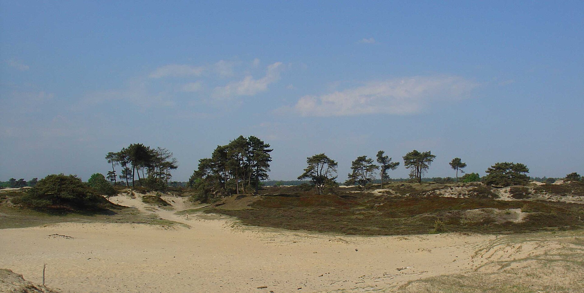
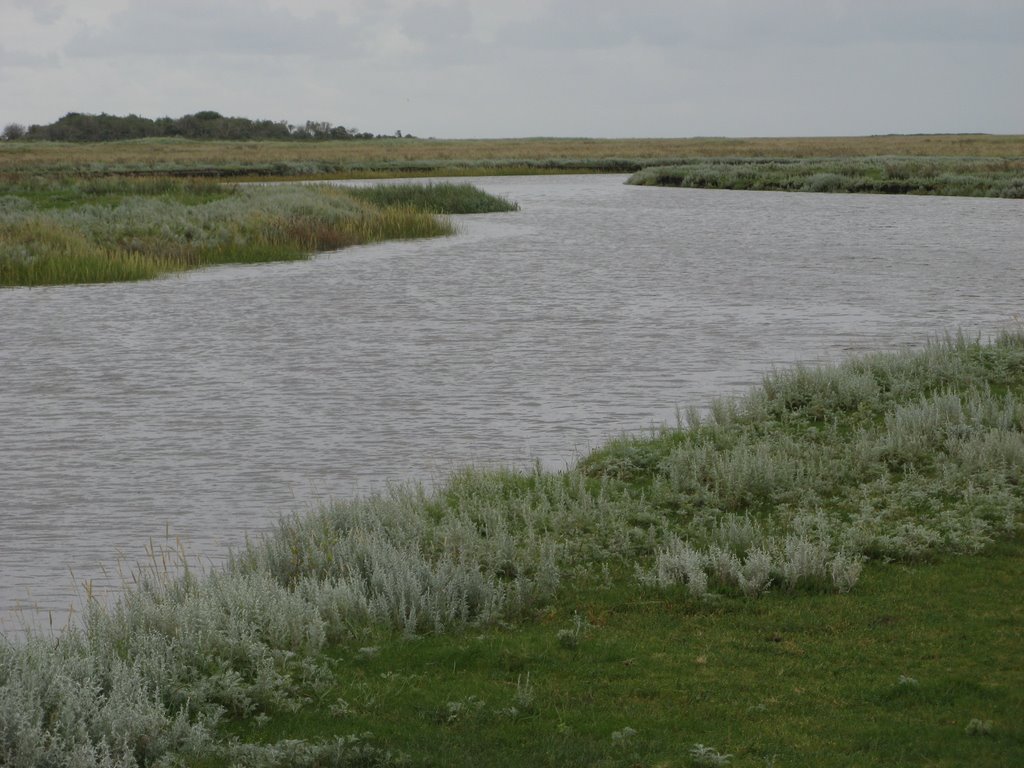
According to CORINE Land Cover (2018), the land area is mainly made up of grassland and meadows (45%), beaches and dunes (38%) and salt marshes and salt pans (13%). The sea covers about 28% of the site. The 3 Natura 2000 sites overlapping the area list 14 habitats of European interest (1 priority), the most extensive being mudflats and sandflats not covered by seawater at low tide, sandbanks which are slightly covered by sea water all the time and estuaries.
Biodiversity
Based on occurrences aggregated by GBIF, several species are regularly recorded within the site. Among the most frequent are Haematopus ostralegus (Eurasian Oystercatcher), Larus fuscus (Lesser Black-backed Gull), Agrostis stolonifera (Creeping Bent) and Festuca rubra (Red fescue). The full list of documented taxa is shown below. The overlapping Natura 2000 sites list 60 species of European interest: 51 birds, 4 mammals, 3 fish, 1 invertebrate and 1 plant.
Habitats of European interest
From the official forms of the 3 Natura 2000 sites overlapping the area (areas reported for each whole site).
- Mudflats and sandflats not covered by seawater at low tide 134,478 ha
- Sandbanks which are slightly covered by sea water all the time 108,854 ha
- Estuaries 14,898 ha
- Atlantic salt meadows (Glauco-Puccinellietalia maritimae) 5,173 ha
- Salicornia and other annuals colonizing mud and sand 1,927 ha
- Spartina swards (Spartinion maritimae) 474 ha
- Embryonic shifting dunes 147 ha
- Wooded dunes of the Atlantic, Continental and Boreal region 96 ha
and 6 more
Species of European interest
Birds · 51
Northern Pintail (Anas acuta) wintering, Eurasian Teal (Anas crecca) wintering, Mallard (Anas platyrhynchos) wintering, Greylag Goose (Anser anser) wintering, Taiga bean goose (Anser fabalis) wintering, Ruddy Turnstone (Arenaria interpres) wintering, Short-eared Owl (Asio flammeus) resident, Greater Scaup (Aythya marila) wintering, Eurasian Bittern (Botaurus stellaris) resident, Brant Goose (Branta bernicla) wintering, Barnacle goose (Branta leucopsis) wintering, Common Goldeneye (Bucephala clangula) wintering and 39 more
Mammals · 4
Grey Seal (Halichoerus grypus), Microtus oeconomus arenicola, Harbour Seal (Phoca vitulina), Harbour porpoise (Phocoena phocoena)
Fish · 3
Twait shad (Alosa fallax), European river lamprey (Lampetra fluviatilis), Sea lamprey (Petromyzon marinus)
Invertebrates · 1
Plants · 1
Source: Natura 2000 standard data forms (EEA, CC-BY 4.0). Not exhaustive: sensitive species are not published.
Species to look out for

Plant
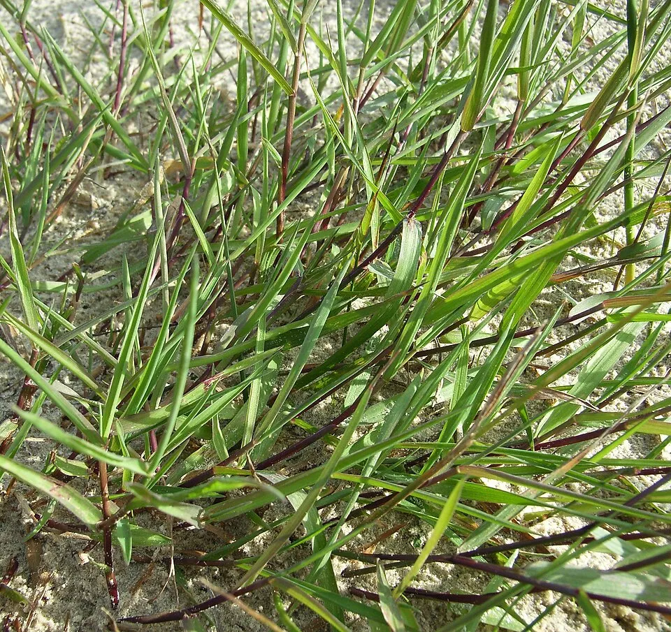
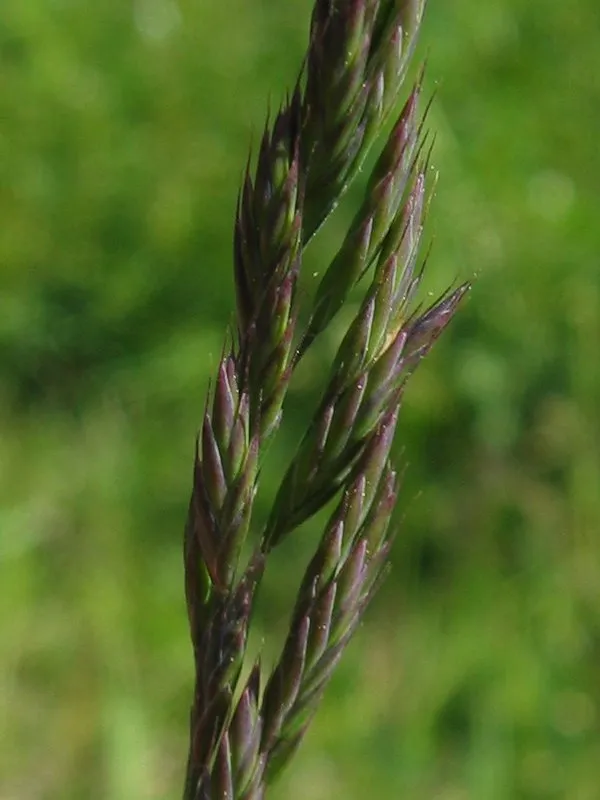
Red fescue
Festuca rubra957 records © Kristian Peters -- Fabelfroh 12:31, 9 September 2006 (UTC) · CC BY-SA 3.0

Observed species
Occurrences documented via GBIF; they are neither an exhaustive inventory nor proof of current presence.
- Eurasian Oystercatcher · Haematopus ostralegus · 129395
- Lesser Black-backed Gull · Larus fuscus · 51990
- Creeping Bent · Agrostis stolonifera · 990
- Red fescue · Festuca rubra · 957
- Herbaceous seepweed · Suaeda maritima · 812
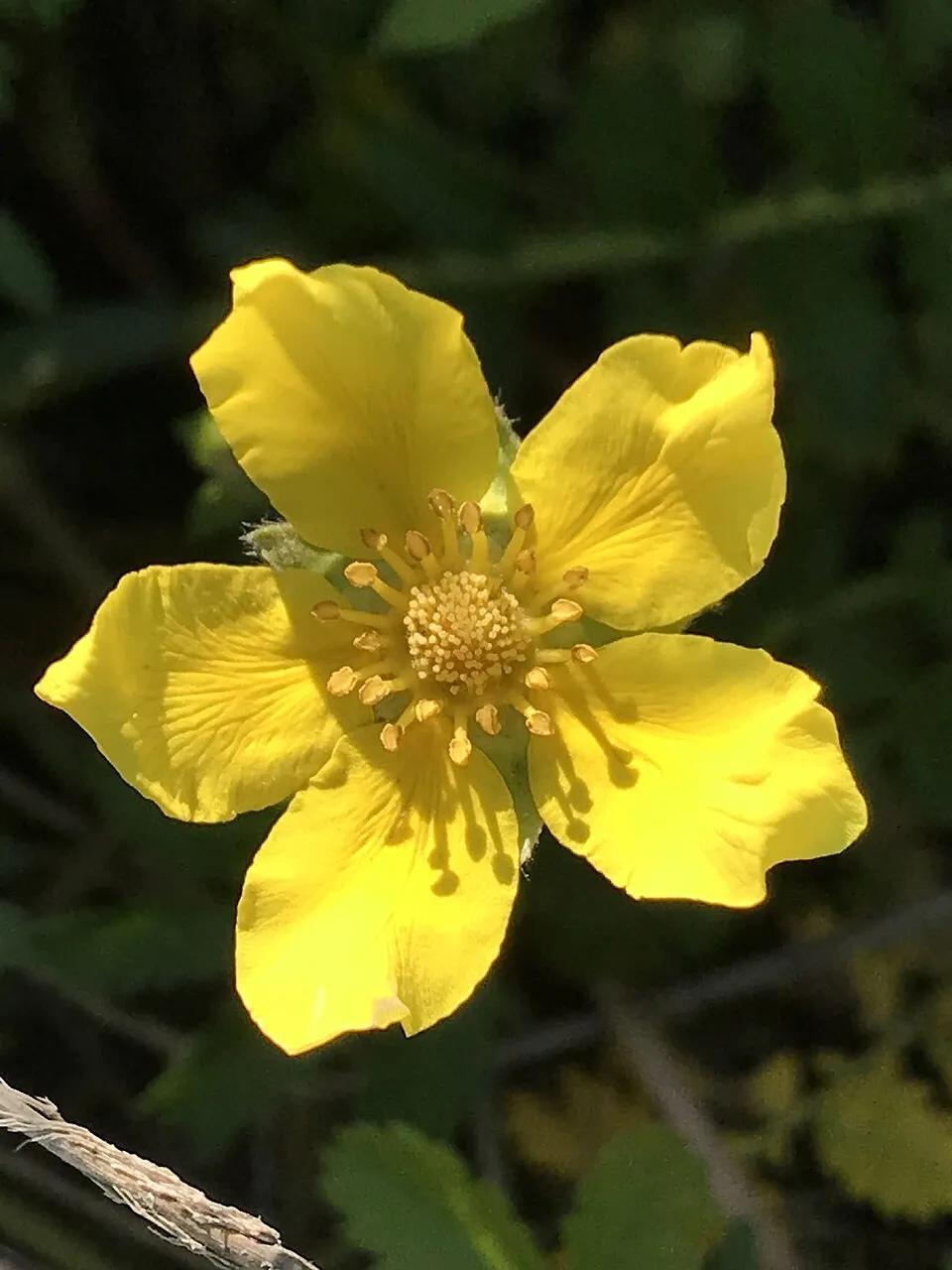
- Silverweed · Argentina anserina · 672
- Creeping willow · Salix repens · 646
- Sea-milkwort · Lysimachia maritima · 589
- Juncus gerardii · Juncus gerardi · 574
- Common reed · Phragmites australis · 569
- Wood Small-reed · Calamagrostis epigejos · 537
- Yorkshire-fog · Holcus lanatus · 528
+18 more species
- Marsh pennywort · Hydrocotyle vulgaris · 516
- Elymus athericus · 515
- European Herring Gull · Larus argentatus · 509
- Great Cormorant · Phalacrocorax carbo · 504
- Black-headed Gull · Chroicocephalus ridibundus · 472
- Greylag Goose · Anser anser · 471
- Common sea-lavender · Limonium vulgare · 465
- Carrion crow · Corvus corone · 461
- Sea aster · Tripolium pannonicum · 460
- Common Shelduck · Tadorna tadorna · 441
- Mallard · Anas platyrhynchos · 440
- Meadow Pipit · Anthus pratensis · 430
- Common Blackbird · Turdus merula · 416
- Water mint · Mentha aquatica · 416
- Sea plantain · Plantago maritima · 415
- Sand sedge · Carex arenaria · 413
- Common Wood Pigeon · Columba palumbus · 406
- Northern Lapwing · Vanellus vanellus · 399
Records: GBIF.org (CC-BY). Names: Wikidata (CC0), GBIF. Photos: Wikimedia Commons.
Conservation challenges
The primary purpose of the site is to preserve its natural habitats and the biodiversity they support. The species recorded (Biodiversity tab) reflect its ecological value. The designations it holds frame its management and the control of land use.
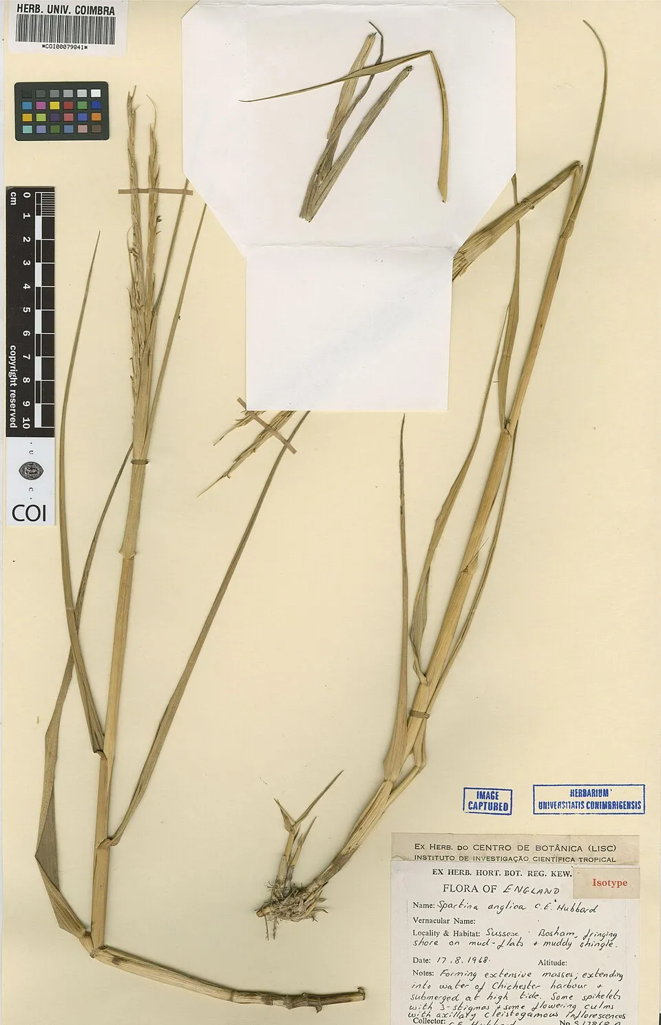
According to the European CORINE Land Cover inventory (Copernicus), land cover changed on about 1,130 ha of the site between 1990 and 2018 (40% of its area): open natural land grew by 541 ha, mostly at the expense of wetlands, while open water shrank by 385 ha, mostly giving way to wetlands. At night, the area gives off virtually no artificial light detectable from space (NASA VIIRS Black Marble composite, 2016). According to the Natura 2000 forms, of 14 assessed habitats of European interest, 7 are in excellent condition and 3 in average or reduced condition. According to the Water Framework Directive assessment (2022 river basin management plans, data 2015–2020), water bodies assessed within the site: coastal waters, 0 of 2 in good ecological status or better. Since 2000, 14 invasive alien species have been recorded within the site (GBIF observations), one of them listed as of Union concern under EU Regulation 1143/2014. Among them: Alopochen aegyptiaca (Egyptian Goose), Sporobolus anglicus (Common Cord-grass) and Cotula coronopifolia (Buttonweed).
Pressure indicators
Tree cover lost
3 ha
2001–2023 · < 1% of the area
20012023
Fires since 2016
0
No large fire mapped (fires over about 30 ha)
Light at night
0%
of the area gives off artificial light visible from space
DarkLit
Land cover change
1,130 ha
changed cover, 1990–2018 · CORINE · 40% of the area
- +541 ha · open natural land
- −385 ha · water bodies
Rivers and lakes
Coastal waters: 0 of 2 good or better
assessments 2015–2020
Invasive alien species
14
incl. 1 of EU concern · since 2000
 Egyptian GooseEU
 Common Cord-grass
 Buttonweed
 Japanese rose
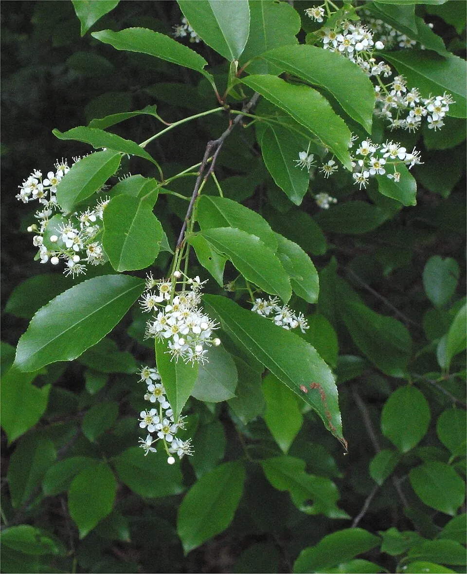 Black cherry
 Campylopus moss
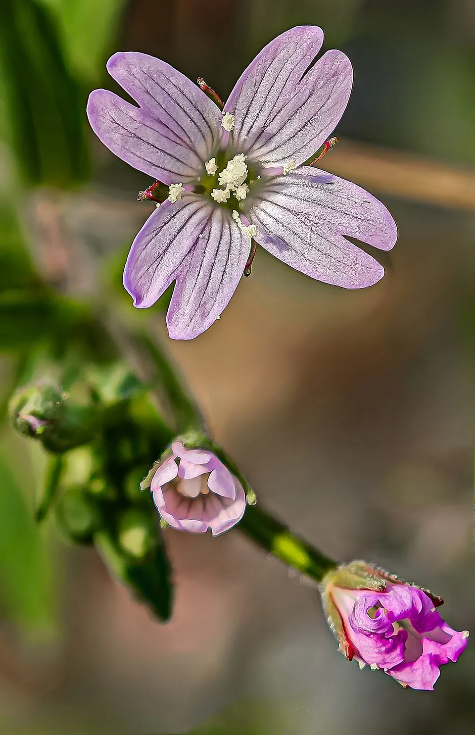 American willowherb
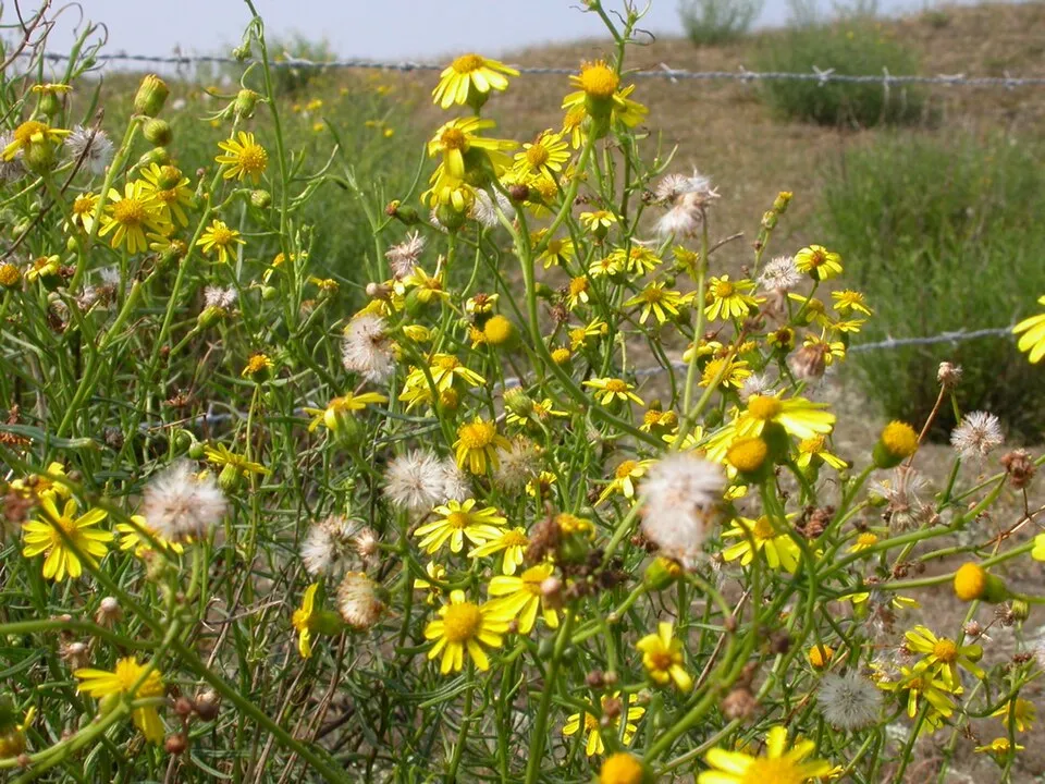 Narrow-leaved ragwort
Photos: Egyptian Goose © Rhododendrites · CC BY-SA 4.0; Common Cord-grass © Herbarium of the University of Coimbra (COI) · CC BY 4.0; Buttonweed © Johann Georg Sturm (Painter: Jacob Sturm) · Public domain; Japanese rose © Vihljun · Public domain; Black cherry © Rasbak · CC BY-SA 3.0; Campylopus moss © Kristian Peters -- Fabelfroh · CC BY-SA 3.0; American willowherb © Didier Descouens · CC BY-SA 4.0; Narrow-leaved ragwort © Pieter Pelser · CC BY 3.0
Sources: Global Forest Change (Hansen et al., University of Maryland, via Global Forest Watch, CC-BY 4.0); EFFIS, European Commission / Copernicus; NASA Black Marble 2016 (public domain); CORINE Land Cover 2018 (Copernicus) or MODIS.
CORINE Land Cover Change 1990–2018: generated using European Union's Copernicus Land Monitoring Service information (EEA), aggregated by Parkavela; DOI 10.2909/f30f1000-7cf8-43bb-872c-5eb093911b24.
Ecological status of water bodies: European Environment Agency, WISE – Water Framework Directive, 3rd river basin management plans (2022), CC BY 4.0. Official national classification, not comparable between countries.
Invasive alien species: Global Register of Introduced and Invasive Species (ISSG, CC BY 4.0); Union list, Regulation (EU) 1143/2014 (INBO, CC0); GBIF.org records (CC0 / CC BY 4.0), at least 2 per species.
Practical information
Cities and airport
- Groningen
35 km as the crow flies - Leeuwarden
36 km as the crow flies - Airport: Groningen Airport Eelde (GRQ)
45 km as the crow flies
Visitor information
- Informatiecentrum Het Baken
< 1 km from the site boundary - VVV Schiermonnikoog
< 1 km from the site boundary
Hiking
4 waymarked routes listed, including:
WaddenWandelen
Data © OpenStreetMap contributors (ODbL) · Wikidata (CC0)
Waymarked hiking routes
Tracks © OpenStreetMap contributors (ODbL), clipped to the boundary; elevation gain and profiles computed on the longest section from Mapzen Terrain Tiles (≈ 30 m), indicative only.
Bathing
2 monitored bathing sites in or within 1 km of the site · 2025 classification
Excellent · 1
Good · 1
- Badstrand Prins Bernhardweg, Schiermonnikoog · sea · Excellent
- Berkenplas, Schiermonnikoog · lake · Good
Source: European Environment Agency, official bathing water classification (Directive 2006/7/EC, CC-BY 4.0). Swimming is only permitted at the sites and times authorised locally.
Access and visiting
The nearest railway station is Warffum, about 19 km from the site boundary. Nearest towns of over 50,000 people, as the crow flies: Groningen (35 km) and Leeuwarden (36 km). Nearest airport: Groningen Airport Eelde (GRQ), about 45 km away. About 59,000 people live within 20 km of the site boundary, 5,700 of them within 10 km; some 510 people are estimated to live inside (GHSL estimate, 2020). Visitor information on site: Informatiecentrum Het Baken and VVV Schiermonnikoog. Waymarked hiking routes listed in OpenStreetMap: 4, including WaddenWandelen. To see: Westerplas (lake or pond). To plan a visit (access, opening periods, visitor rules), it is best to consult the official information from the managing body and the official website listed in this page's sources.
Source: OpenStreetMap (ODbL), Wikidata (CC0), October 2026.
When to visit
Best time to visit: from May to October, with average temperatures of 11 to 18 °C and moderate rainfall. Day length ranges from about 7 h 30 min in December to 17 h 00 min in June. Wildlife records published on GBIF peak for birds (October), plants (from June to September), butterflies and moths (July and August), dragonflies (September) and mammals (October). These peaks also reflect when observers are most active.
Source: Copernicus ERA5-Land (C3S), monthly averages 1996–2025 at the representative point, temperatures adjusted for elevation.
Contains modified Copernicus Climate Change Service information 2026. Neither the European Commission nor ECMWF is responsible for any use that may be made of the Copernicus information or data it contains.
Wildlife records calendar
JFMAMJJASOND
Birds
Plants
Butterflies & moths
Dragonflies
Mammals
Monthly records published on GBIF (CC-BY), relative to the busiest month; also reflects observer activity.
Gallery
© Donarreiskoffer · CC BY 3.0
© RonaldHuijssen · CC BY-SA 3.0
© Bert Kaufmann from Roermond, Netherlands · CC BY 2.0
© Baykedevries · CC BY-SA 3.0
© Baykedevries · CC BY-SA 3.0
© Donar Reiskoffer · CC BY 3.0
Sources and licences
- Wikidata: Q1651381
- OpenStreetMap: relation 7897862
- Official website: http://www.np-schiermonnikoog.nl
- Wikipedia: en.wikipedia.org/wiki/Schiermonnikoog_National_Park
- WDPA: 331639
References
- cds.climate.copernicus.eu: climate · CC-BY-4.0
- registry.opendata.aws: elevation of the reference point, detailed relief · PD
- land.copernicus.eu: land cover, land cover change, sea share · COPERNICUS
- doi.org: population around the site · CC-BY-4.0
- wikidata.org: official area, establishment date, protected heritage, official name, nearby cities and airport, access and peaks, lake depths, places to see, official website · CC0-1.0
- eea.europa.eu: bathing water quality, ecological status of waters · CC-BY-4.0
- en.eurovelo.com: EuroVelo cycle routes · ODbL-1.0
- cycling.waymarkedtrails.org: cycle routes · ODbL-1.0
- opentopodata.org: elevations · PD
- forest-fire.emergency.copernicus.eu: wildfires · COPERNICUS
- globalforestwatch.org: tree cover loss · CC-BY-4.0
- gbif.org: seasonality of sightings, invasive alien species, observed species · CC-BY-4.0
- europe-geology.eu: geology · CC-BY-4.0
- hydrosheds.org: lakes · CC-BY-4.0
- natura2000.eea.europa.eu: Natura 2000 habitats and species · CC-BY-4.0
- earthobservatory.nasa.gov: night light · PD
- openstreetmap.org: access and peaks, trail difficulty, wheelchair access · ODbL-1.0
- hiking.waymarkedtrails.org: route difficulty · ODbL-1.0
- nsidc.org: snow cover · PD
- wikidata.org: Wikipedia article · CC-BY-SA-4.0
Data © OpenStreetMap contributors (ODbL), Wikidata (CC0) and the sources cited.