Netherlands · Terrestrial
Dwingelderveld National Park
National park of 3,766 hectares in the Netherlands, established in 1991.
Overview
National park of 3,766 hectares in the Netherlands, established in 1991.
Dwingelderveld National Park is located in the Netherlands (Europe). It is a predominantly terrestrial area. Established in 1991, it covers about 3,766 hectares.
Protections and designations
Natura 2000 · habitats (SAC)
- Dwingelderveld NL3000070
Natura 2000 · birds (SPA)
- Dwingelderveld NL3000070
Protected as a national park. International labels and designations: Natura 2000 network (1 site: “Dwingelderveld”). Key dates: established in 1991, first Natura 2000 site under the Birds Directive in 1996 and first Natura 2000 site under the Habitats Directive in 2013.
In our collections
Timeline
-
1991
Established
-
1996
First Natura 2000 site under the Birds Directive
-
2013
First Natura 2000 site under the Habitats Directive
Sources: Wikidata (CC0) for establishment and international labels; EEA Natura 2000 database (CC-BY 4.0) for site designation dates.
Frequently asked questions
Where is Dwingelderveld National Park?
In the Netherlands (Europe). Representative point: 52.8164° N, 6.4075° E.
How large is Dwingelderveld National Park?
About 3,766 hectares (38 km²). It is the 18th largest of the 26 national parks in the Netherlands covered by Parkavela.
When was Dwingelderveld National Park established?
In 1991.
What habitats and landscapes does Dwingelderveld National Park include?
A terrestrial area, with forests.
What rocks lie beneath Dwingelderveld National Park?
According to the European 1:1 million geological map (EGDI), the bedrock consists mainly of sands and gravels (100% of sampled points). These are mostly sedimentary rocks. The geological units date mainly from the Quaternary (100% of sampled points).
What is the highest point of Dwingelderveld National Park?
Benderse Berg, at 13 m (OpenStreetMap).
Which international labels apply to Dwingelderveld National Park?
Natura 2000 network (1 site: “Dwingelderveld”).
When is the best time to visit Dwingelderveld National Park?
Best time to visit: May and June, with average temperatures of 12 to 16 °C and moderate rainfall.
Are there historic monuments in Dwingelderveld National Park?
Yes. According to Wikidata, 2 monuments listed in the Dutch national register of monuments (Rijksmonumentenregister) stand within the boundary. For example: “De Bork” in Westerveld and “Dwingeloo Radio Observatory” in Westerveld.
What is the nearest large city to Dwingelderveld National Park?
Nearest towns of over 50,000 people, as the crow flies: Hoogeveen (8 km) and Assen (18 km). Nearest airport: Groningen Airport Eelde (GRQ), about 32 km away.
How can I reach Dwingelderveld National Park by train?
The nearest railway station is Beilen, about 3 km from the site boundary.
Where can I get visitor information on site?
Oriëntatiecentrum Spier (SBB), Bezoekerscentrum Dwingelderveld and V.V.V. Dwingeloo.
Are there waymarked hiking trails in Dwingelderveld National Park?
Yes. Waymarked hiking routes listed in OpenStreetMap: 85, including Jacobspad.
Which species can be seen in Dwingelderveld National Park?
Among the species most often recorded on GBIF are Calathus melanocephalus, Poecilus versicolor (Rainbow Greenclock Beetle), Amara lunicollis (Mesophile Sunshiner) and Notiophilus aquaticus.
What is the official website of Dwingelderveld National Park?
© OpenStreetMap
Download the boundary: GeoJSON · GPX Boundary © OpenStreetMap contributors (ODbL).
Geography
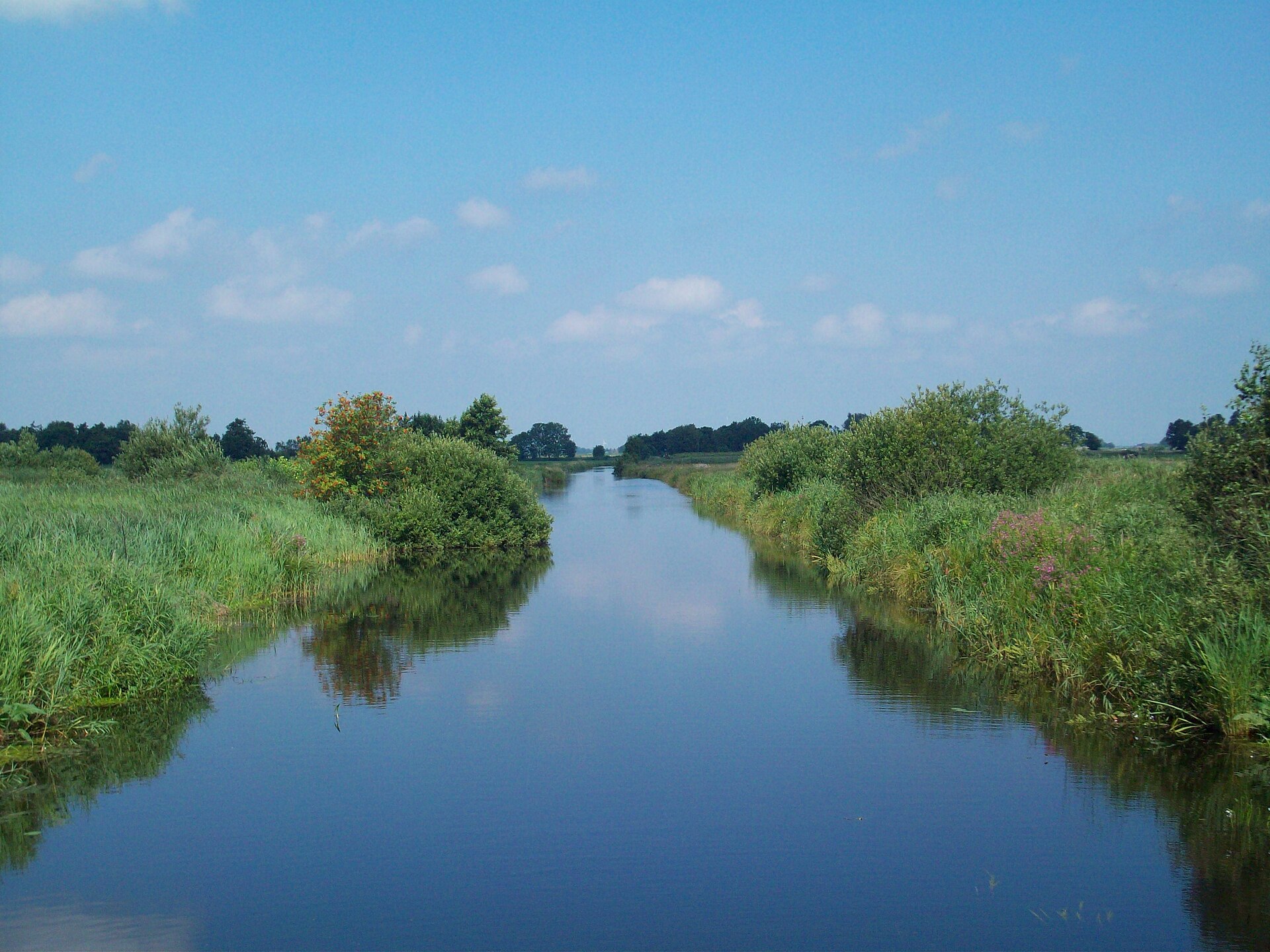
The representative point of the site lies at around 23 m above sea level. Over the 1996–2025 period, the mean annual temperature is about 10.1 °C and total precipitation reaches roughly 843 mm per year. The warmest month is usually July, the coolest January, and the wettest July. According to the European 1:1 million geological map (EGDI), the bedrock consists mainly of sands and gravels (100% of sampled points). These are mostly sedimentary rocks. The geological units date mainly from the Quaternary (100% of sampled points). The site contains 4 lakes larger than 10 ha, totalling 87 ha of water (HydroLAKES).
Area
- Area
- 3,766 ha
- Elevation
- 23 m
- Lakes over 10 ha
- 4 (87 ha)
- Coordinates
- 52.8164, 6.4075
Lakes: HydroLAKES (Messager et al. 2016, hydrosheds.org, CC BY 4.0) · depths: Wikidata (CC0)
Bedrock
- Sands and gravels 100 %
Sedimentary rocks 100 % · Main age: Quaternary (100%)
Source: EGDI 1:1M geological map (EuroGeoSurveys and national geological surveys), CC BY 4.0 · 12 sampled points within the site.
Climate
● Mean temperature (°C) · ▮ Precipitation (mm)
Source: Copernicus ERA5-Land (C3S, doi:10.24381/cds.68d2bb30), monthly averages 1996–2025 interpolated to the representative point, temperatures adjusted for elevation.
Contains modified Copernicus Climate Change Service information 2026. Neither the European Commission nor ECMWF is responsible for any use that may be made of the Copernicus information or data it contains.
Natural habitats
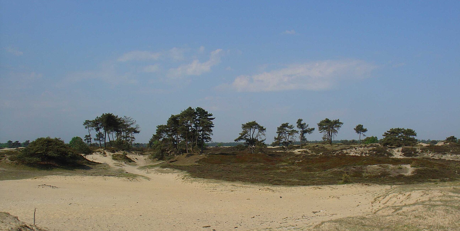
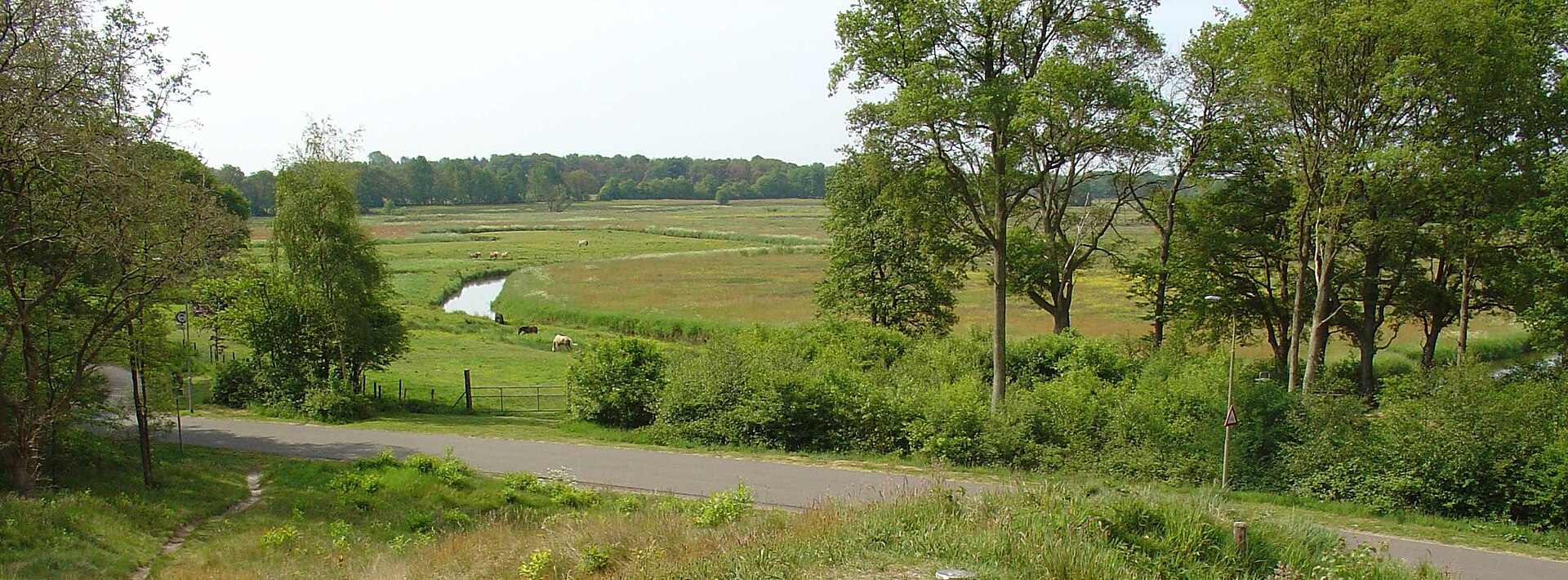
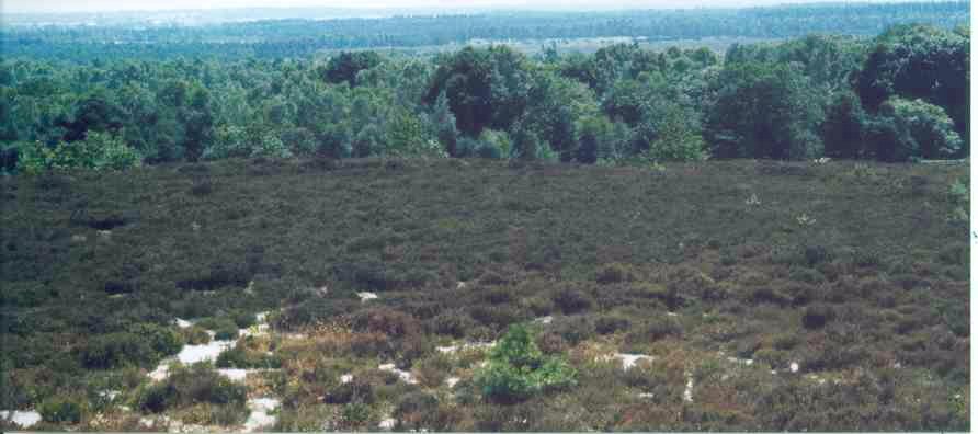
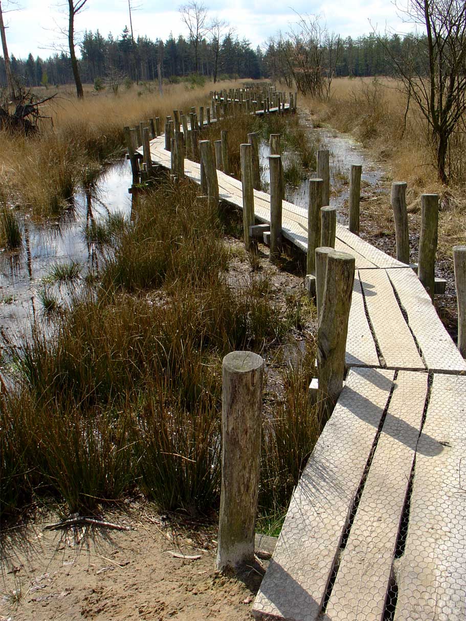
According to CORINE Land Cover (2018), the site is mainly made up of forests (44%), heath and scrub (38%) and grassland and meadows (13%). Woodland is mostly coniferous. The land is almost flat (mean slope under 2°). The Natura 2000 site overlapping the area lists 16 habitats of European interest (3 priority), the most extensive being European dry heaths, northern Atlantic wet heaths with Erica tetralix and dry sand heaths with Calluna and Empetrum nigrum.
Biodiversity
Based on occurrences aggregated by GBIF, several species are regularly recorded within the site. Among the most frequent are Calathus melanocephalus, Poecilus versicolor (Rainbow Greenclock Beetle), Amara lunicollis (Mesophile Sunshiner) and Notiophilus aquaticus. The full list of documented taxa is shown below. The overlapping Natura 2000 site lists 12 species of European interest: 11 birds and 1 amphibian.
Habitats of European interest
From the official form of the Natura 2000 site overlapping the area (areas reported for the whole site).
- European dry heaths 382 ha
- Northern Atlantic wet heaths with Erica tetralix 368 ha
- Dry sand heaths with Calluna and Empetrum nigrum 155 ha
- Degraded raised bogs still capable of natural regeneration 89 ha
- Natural dystrophic lakes and ponds 66 ha
- Depressions on peat substrates of the Rhynchosporion 32 ha
- Old acidophilous oak woods with Quercus robur on sandy plains 18 ha
- Dry sand heaths with Calluna and Genista 18 ha
and 8 more
Species of European interest
Birds · 11
Eurasian Teal (Anas crecca) wintering, Taiga bean goose (Anser fabalis) wintering, Bewick's Swan (Cygnus columbianus bewickii) wintering, Black Woodpecker (Dryocopus martius) resident, Woodlark (Lullula arborea) breeding, Northern Wheatear (Oenanthe oenanthe) breeding, Black-necked Grebe (Podiceps nigricollis) breeding, Whinchat (Saxicola rubetra) breeding, European stonechat (Saxicola torquatus) breeding, Northern Shoveler (Spatula clypeata) wintering, Little Grebe (Tachybaptus ruficollis) breeding
Amphibians · 1
Source: Natura 2000 standard data forms (EEA, CC-BY 4.0). Not exhaustive: sensitive species are not published.
Species to look out for
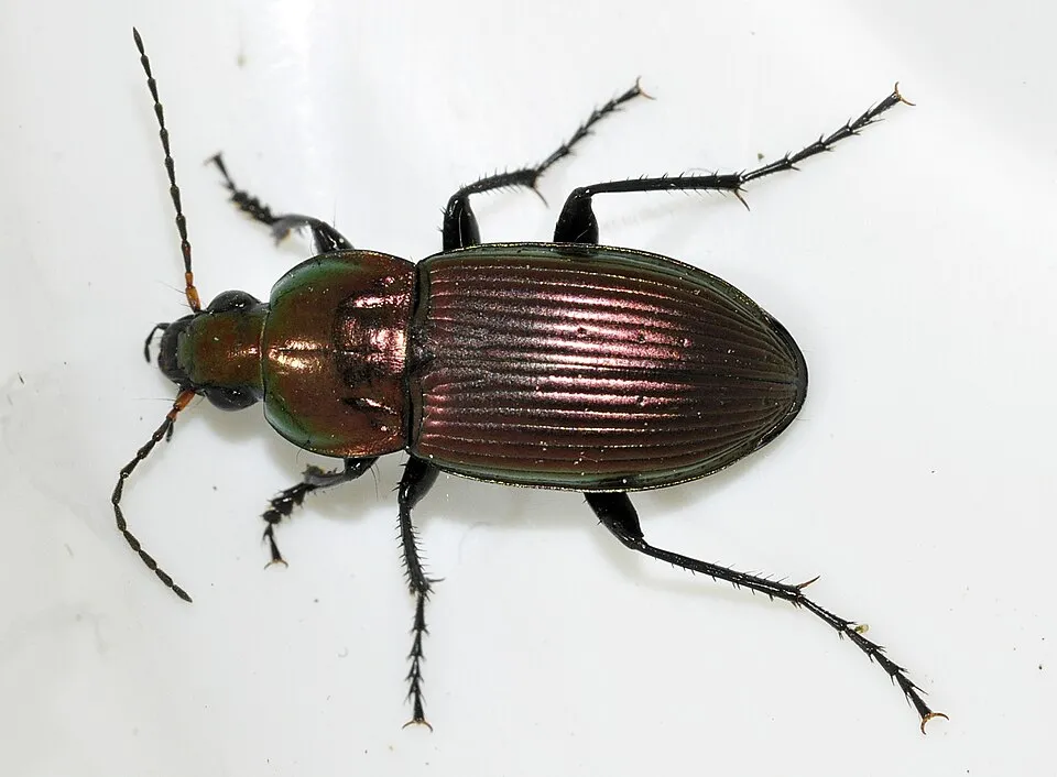
Insect
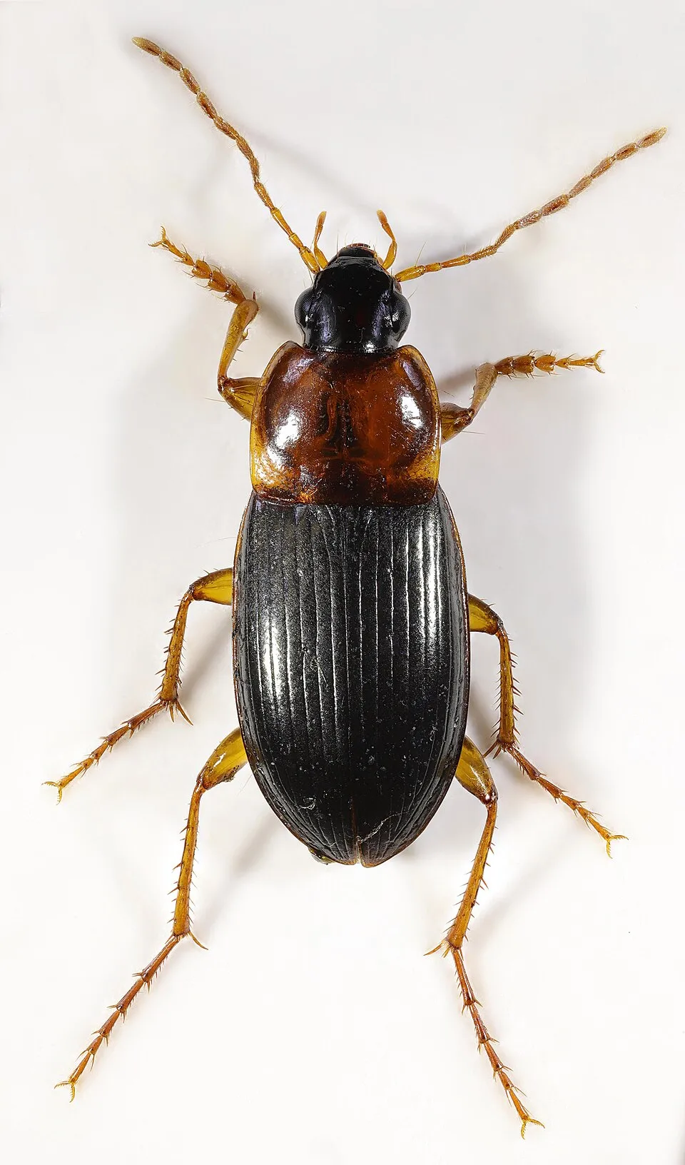
Rainbow Greenclock Beetle
Poecilus versicolor2,754 records © Francisco Welter-Schultes · CC0-1.0

Observed species
Occurrences documented via GBIF; they are neither an exhaustive inventory nor proof of current presence.
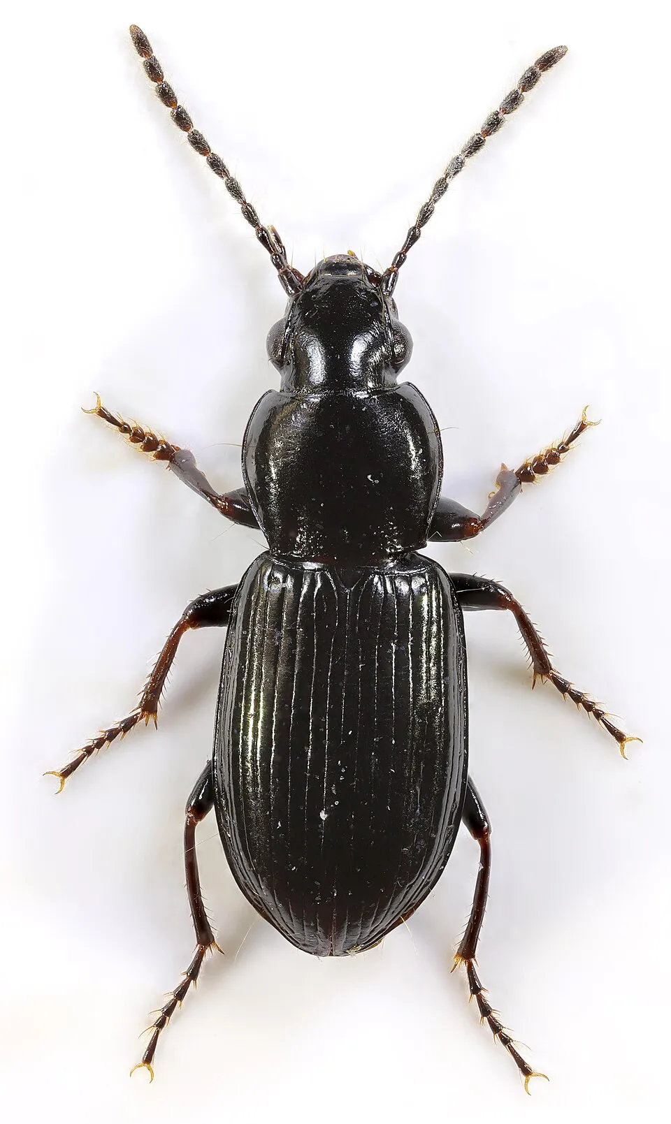
- Calathus melanocephalus · 3365
- Rainbow Greenclock Beetle · Poecilus versicolor · 2754
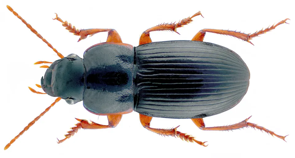
- Mesophile Sunshiner · Amara lunicollis · 1991
- Notiophilus aquaticus · 1815
- Smooth-chested Blackclock · Pterostichus diligens · 1806
- Harpalus latus · 1243
- Heath Greenclock Beetle · Poecilus lepidus · 1224
- Bronzed Blackclock · Pterostichus oblongopunctatus · 1139
- Calathus erratus · 972
- Purple moor-grass · Molinia caerulea · 919
- Dyschirius globosus · 838
- Cross-leaved heath · Erica tetralix · 775
+18 more species
- Bradycellus ruficollis · 711
- Pterostichus niger · 698
- Scottish Heather · Calluna vulgaris · 643
- Common cottongrass · Eriophorum angustifolium · 611
- Rough Violet Ground Beetle · Carabus problematicus · 581
- Oxypselaphus obscurus · 530
- Amara brunnea · 524
- Spotted gazelle beetle · Notiophilus biguttatus · 495
- Notiophilus rufipes · 458
- Toothed sphagnum · Sphagnum cuspidatum · 422
- Carabus arcensis · 413
- Pterostichus nigrita · 395
- Kindred Ground Beetle · Dicheirotrichus cognatus · 389
- Pedunculate Oak · Quercus robur · 384
- Amara equestris · 370
- Wavy hairgrass · Avenella flexuosa · 360
- Small cranberry · Vaccinium oxycoccos · 342
- Bradycellus caucasicus · 320
Records: GBIF.org (CC-BY). Names: Wikidata (CC0), GBIF. Photos: Wikimedia Commons.
Conservation challenges
The primary purpose of the site is to preserve its natural habitats and the biodiversity they support. The species recorded (Biodiversity tab) reflect its ecological value. The designations it holds frame its management and the control of land use.
According to Global Forest Change data (University of Maryland, Global Forest Watch), about 247 ha of tree cover were lost within the boundary between 2001 and 2023 (7% of its area), peaking in 2005 and 2017. These losses include logging, storms and fires, and do not account for regrowth. According to the European CORINE Land Cover inventory (Copernicus), land cover changed on about 495 ha of the site between 1990 and 2018 (12% of its area): open natural land grew by 462 ha, mostly at the expense of farmland, while farmland shrank by 288 ha, mostly giving way to open natural land. Forest felling and regrowth add about 110 ha in total over the period. At night, the area gives off virtually no artificial light detectable from space (NASA VIIRS Black Marble composite, 2016). According to the Natura 2000 forms, of 16 assessed habitats of European interest, 6 are in excellent condition and 8 in average or reduced condition. Since 2000, 7 invasive alien species have been recorded within the site (GBIF observations), 2 of them listed as of Union concern under EU Regulation 1143/2014. Among them: Alopochen aegyptiaca (Egyptian Goose), Impatiens glandulifera (Himalayan Balsam) and Prunus serotina (Black cherry).
Pressure indicators
Tree cover lost
247 ha
2001–2023 · 7% of the area
20012023
Fires since 2016
0
No large fire mapped (fires over about 30 ha)
Light at night
0%
of the area gives off artificial light visible from space
DarkLit
Built-up land
< 1%
buildings, business areas, roads, quarries · farmland 4%
Land cover change
495 ha
changed cover, 1990–2018 · CORINE · 12% of the area
- +462 ha · open natural land
- −288 ha · farmland
forest felling and regrowth: 110 ha in total
Invasive alien species
7
incl. 2 of EU concern · since 2000
 Egyptian GooseEU
 Himalayan BalsamEU
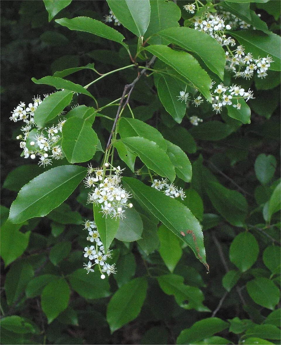 Black cherry
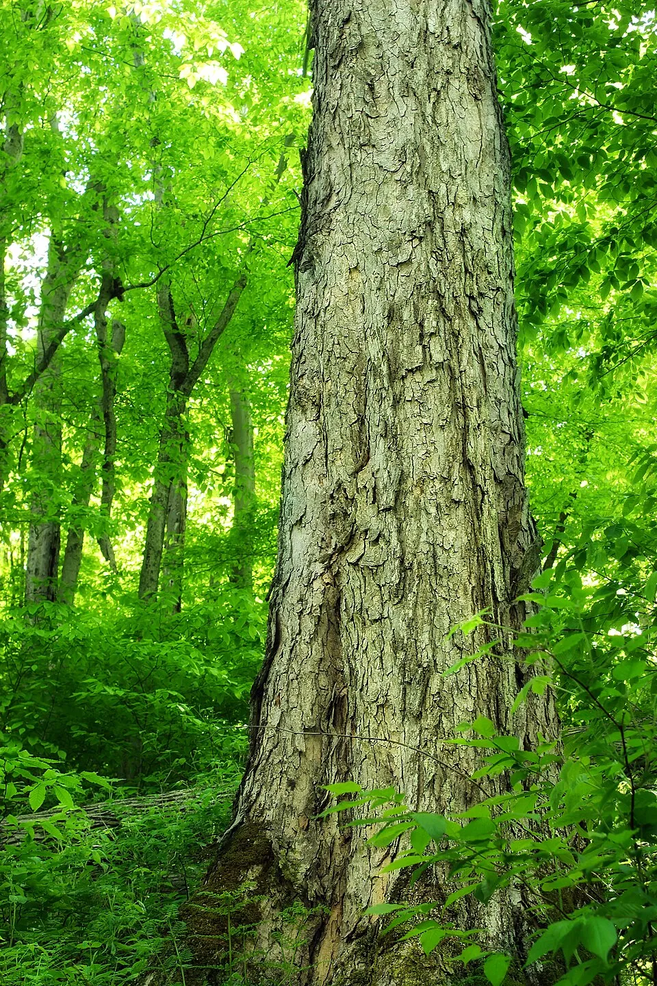 Northern red oak
 Campylopus moss
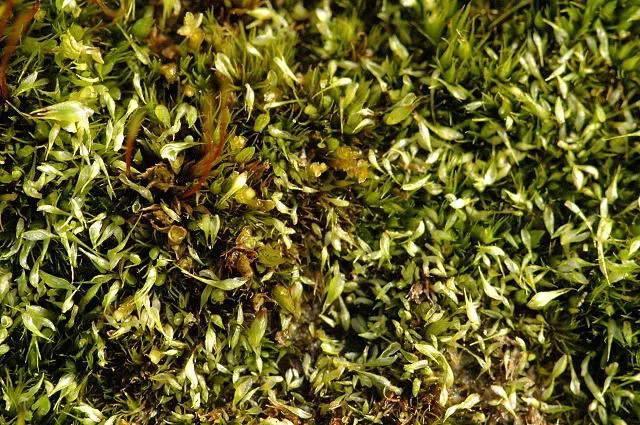 Cape Thread-moss
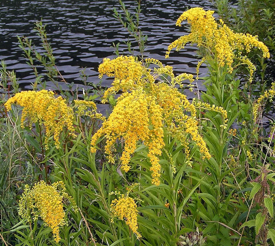 Giant goldenrod
Photos: Egyptian Goose © Rhododendrites · CC BY-SA 4.0; Himalayan Balsam © Guptaele · CC BY-SA 4.0; Black cherry © Rasbak · CC BY-SA 3.0; Northern red oak © Nicholas A. Tonelli from Northeast Pennsylvania, USA · CC BY 2.0; Campylopus moss © Kristian Peters -- Fabelfroh · CC BY-SA 3.0; Cape Thread-moss © James K. Lindsey · CC BY-SA 3.0; Giant goldenrod © Pethan · CC BY-SA 3.0
Sources: Global Forest Change (Hansen et al., University of Maryland, via Global Forest Watch, CC-BY 4.0); EFFIS, European Commission / Copernicus; NASA Black Marble 2016 (public domain); CORINE Land Cover 2018 (Copernicus) or MODIS.
CORINE Land Cover Change 1990–2018: generated using European Union's Copernicus Land Monitoring Service information (EEA), aggregated by Parkavela; DOI 10.2909/f30f1000-7cf8-43bb-872c-5eb093911b24.
Invasive alien species: Global Register of Introduced and Invasive Species (ISSG, CC BY 4.0); Union list, Regulation (EU) 1143/2014 (INBO, CC0); GBIF.org records (CC0 / CC BY 4.0), at least 2 per species.
Practical information
Cities and airport
- Hoogeveen
8 km as the crow flies - Assen
18 km as the crow flies - Airport: Groningen Airport Eelde (GRQ)
32 km as the crow flies
Visitor information
- Oriëntatiecentrum Spier (SBB)
within the site - Bezoekerscentrum Dwingelderveld
within the site - V.V.V. Dwingeloo
1 km from the site boundary - Bezoekerscentrum Dieversluis
3 km from the site boundary
Parking
12 public car parks listed within the site
Achter 't Zaand
Hiking
85 waymarked routes listed, including:
Jacobspad
Wheelchair access
- Familiepad
path
accessible toilets: 2
Reported by OpenStreetMap contributors (ODbL); check with the park before visiting.
Data © OpenStreetMap contributors (ODbL) · Wikidata (CC0)
Waymarked hiking routes
Tracks © OpenStreetMap contributors (ODbL), clipped to the boundary; elevation gain and profiles computed on the longest section from Mapzen Terrain Tiles (≈ 30 m), indicative only.
Access and visiting
The nearest railway station is Beilen, about 3 km from the site boundary. Nearest towns of over 50,000 people, as the crow flies: Hoogeveen (8 km) and Assen (18 km). Nearest airport: Groningen Airport Eelde (GRQ), about 32 km away. About 330,000 people live within 20 km of the site boundary, 97,000 of them within 10 km; some 610 people are estimated to live inside (GHSL estimate, 2020). This population has grown by about 10% since 2000. Visitor information on site: Oriëntatiecentrum Spier (SBB), Bezoekerscentrum Dwingelderveld and V.V.V. Dwingeloo. Public car parks listed within the site: 12, including Achter 't Zaand. Waymarked hiking routes listed in OpenStreetMap: 85, including Jacobspad. OpenStreetMap contributors list one wheelchair-accessible place: Familiepad; check with the park before visiting. To plan a visit (access, opening periods, visitor rules), it is best to consult the official information from the managing body and the official website listed in this page's sources.
Source: OpenStreetMap (ODbL), Wikidata (CC0), October 2026.
Built heritage
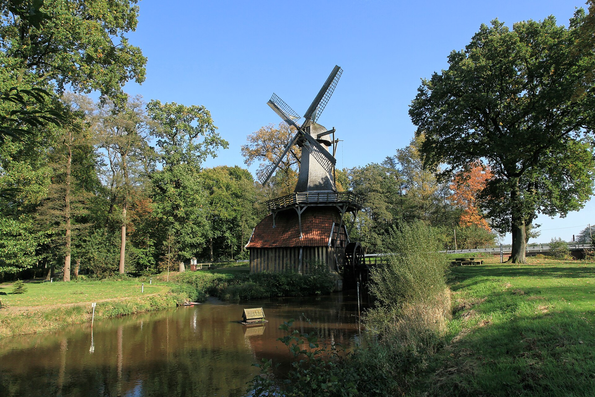
According to Wikidata, 2 monuments listed in the Dutch national register of monuments (Rijksmonumentenregister) stand within the boundary. Examples include “De Bork” in Westerveld and “Dwingeloo Radio Observatory” in Westerveld.
-
De Bork
Westerveld · 20th c. -
Dwingeloo Radio Observatory
Westerveld · 20th c.
Source: Wikidata (CC0), monuments in each country’s official heritage protection registers, at national or regional level. Each item links to its Wikidata entry.
When to visit
Best time to visit: May and June, with average temperatures of 12 to 16 °C and moderate rainfall. Day length ranges from about 7 h 37 min in December to 16 h 52 min in June. Wildlife records published on GBIF peak for birds (from April to June), plants (July and August), butterflies and moths (July), dragonflies (June and July) and mammals (from April to July). These peaks also reflect when observers are most active.
Source: Copernicus ERA5-Land (C3S), monthly averages 1996–2025 at the representative point, temperatures adjusted for elevation.
Contains modified Copernicus Climate Change Service information 2026. Neither the European Commission nor ECMWF is responsible for any use that may be made of the Copernicus information or data it contains.
Wildlife records calendar
JFMAMJJASOND
Birds
Plants
Butterflies & moths
Dragonflies
Mammals
Monthly records published on GBIF (CC-BY), relative to the busiest month; also reflects observer activity.
Gallery
© Gouwenaar · Public domain
© Michielverbeek · CC BY-SA 4.0
© Gouwenaar · Public domain
© Andre Hosper · CC BY 4.0
© Andre Hosper · CC BY 4.0
© Gouwenaar · CC BY-SA 4.0
Sources and licences
- Wikidata: Q1651303
- OpenStreetMap: relation 2746127
- Official website: http://www.nationaalpark-dwingelderveld.nl
- Wikipedia: en.wikipedia.org/wiki/Dwingelderveld_National_Park
- WDPA: 331443
References
- cds.climate.copernicus.eu: climate · CC-BY-4.0
- registry.opendata.aws: elevation of the reference point, detailed relief · PD
- land.copernicus.eu: land cover, land cover change, sea share · COPERNICUS
- doi.org: population around the site · CC-BY-4.0
- wikidata.org: official area, establishment date, protected heritage, official name, nearby cities and airport, access and peaks, lake depths, places to see, official website · CC0-1.0
- eea.europa.eu: bathing water quality, ecological status of waters · CC-BY-4.0
- en.eurovelo.com: EuroVelo cycle routes · ODbL-1.0
- cycling.waymarkedtrails.org: cycle routes · ODbL-1.0
- opentopodata.org: elevations · PD
- forest-fire.emergency.copernicus.eu: wildfires · COPERNICUS
- globalforestwatch.org: tree cover loss · CC-BY-4.0
- gbif.org: seasonality of sightings, invasive alien species, observed species · CC-BY-4.0
- europe-geology.eu: geology · CC-BY-4.0
- hydrosheds.org: lakes · CC-BY-4.0
- natura2000.eea.europa.eu: Natura 2000 habitats and species · CC-BY-4.0
- earthobservatory.nasa.gov: night light · PD
- openstreetmap.org: access and peaks, trail difficulty, wheelchair access · ODbL-1.0
- hiking.waymarkedtrails.org: route difficulty · ODbL-1.0
- nsidc.org: snow cover · PD
- wikidata.org: Wikipedia article · CC-BY-SA-4.0
Data © OpenStreetMap contributors (ODbL), Wikidata (CC0) and the sources cited.