
Denmark · Terrestrial
Kongernes Nordsjælland National Park
National park of 26,250 hectares in Denmark.
Overview
National park of 26,250 hectares in Denmark.
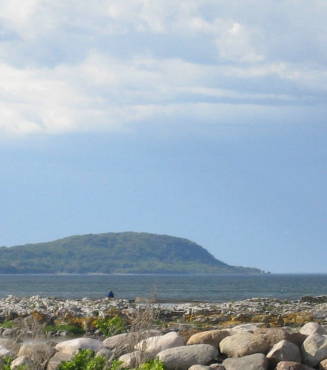
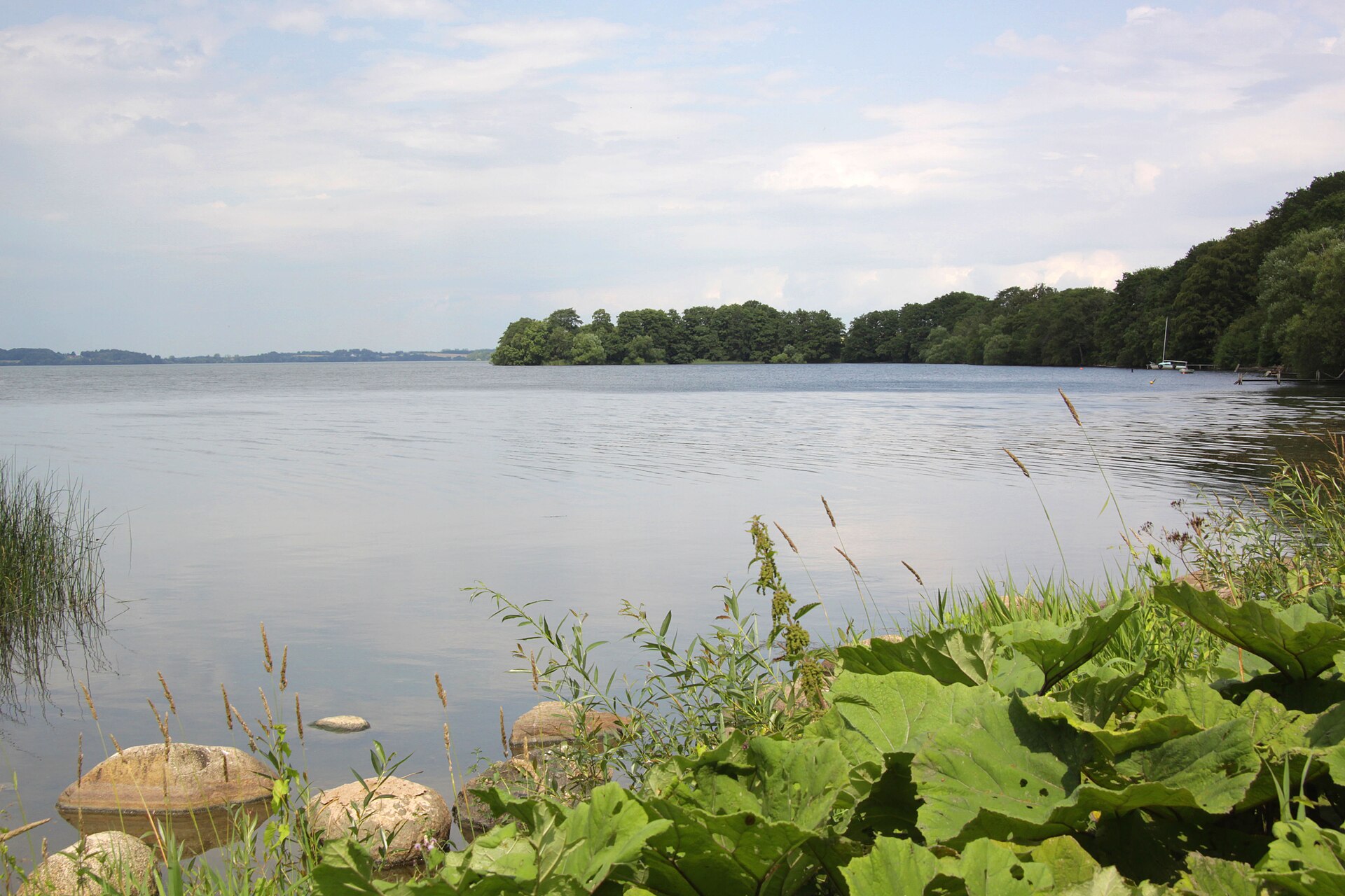
Kongernes Nordsjælland National Park is located in Denmark (Europe). It is a predominantly terrestrial area. It covers about 26,250 hectares.
Protections and designations
Natura 2000 · habitats (SAC) · 8 sites
- Arresø, Ellemose og Lille Lyngby Mose DK003X106
- Esrum Sø, Esrum Å og Snævret Skov DK003X272
- Gribskov DK003X207
- Gurre Sø DK003X205
- Rusland DK003X206
- Teglstrup Hegn og Hammermølle Skov DK003X204
- and 2 more
Protected as a national park. International labels and designations: Natura 2000 network (10 sites). Key dates: first Natura 2000 site under the Birds Directive in 1983 and first Natura 2000 site under the Habitats Directive in 2011.
In our collections
Timeline
-
1983
First Natura 2000 site under the Birds Directive 2 such sites designated up to 1983
-
2011
First Natura 2000 site under the Habitats Directive 7 such sites designated up to 2011
Sources: Wikidata (CC0) for establishment and international labels; EEA Natura 2000 database (CC-BY 4.0) for site designation dates.
Frequently asked questions
Where is Kongernes Nordsjælland National Park?
In Denmark (Europe). Representative point: 56.0100° N, 12.3378° E.
How large is Kongernes Nordsjælland National Park?
About 26,250 hectares (263 km²). It is the 2nd largest of the 5 national parks in Denmark covered by Parkavela.
What habitats and landscapes does Kongernes Nordsjælland National Park include?
A terrestrial area, with forests and freshwater.
What rocks lie beneath Kongernes Nordsjælland National Park?
According to the European 1:1 million geological map (EGDI), the bedrock consists mainly of sands and gravels (85% of sampled points) and glacial deposits (15%). These are mostly sedimentary rocks. The geological units date mainly from the Quaternary (100% of sampled points).
What is the highest point of Kongernes Nordsjælland National Park?
Tobakke, at 85 m (OpenStreetMap).
What are the main summits of Kongernes Nordsjælland National Park?
Tobakke (85 m), Trebakke (82 m), Lodsbakke (69 m), Nøddebjerg (54 m) and Hyttebakke (52 m) (OpenStreetMap).
Which international labels apply to Kongernes Nordsjælland National Park?
Natura 2000 network (10 sites).
When is the best time to visit Kongernes Nordsjælland National Park?
Best time to visit: May and June, with average temperatures of 11 to 16 °C and moderate rainfall.
What is there to see in Kongernes Nordsjælland National Park?
18 lakes and ponds, including Arresø, Esrum Sø (94 m), Solbjerg Engsø and Teglgård Sø (Wikidata).
Are there historic monuments in Kongernes Nordsjælland National Park?
Yes. According to Wikidata, 18 monuments entered in the Danish register of listed buildings (fredede bygninger) stand within the boundary. For example: “Kronborg Castle” in Helsingør (UNESCO World Heritage).
Can you swim in Kongernes Nordsjælland National Park?
34 monitored bathing sites lie in or within 1 km of the site; official 2025 classification: 30 excellent and 2 good (European Environment Agency). Swimming is only permitted at the sites and times authorised locally.
What is the nearest large city to Kongernes Nordsjælland National Park?
Nearest towns of over 50,000 people, as the crow flies: Helsingborg (6 km) and Frederiksberg (26 km). Nearest airport: Copenhagen (CPH), about 36 km away.
How can I reach Kongernes Nordsjælland National Park by train?
Frederiksværk railway station lies within the site.
Where can I get visitor information on site?
Bunker 61.
Are there waymarked hiking trails in Kongernes Nordsjælland National Park?
Yes. Waymarked hiking routes listed in OpenStreetMap: 34, including E 6, Fjordstien Vandresti, Halsninoen and Hillerød. The “Helsingør - Roskilde · Den danske Pilgrimsrute - Nordsjælland” route runs for about 36 km through the site, with some 60 m of ascent on its longest section.
Which species can be seen in Kongernes Nordsjælland National Park?
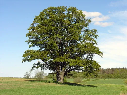
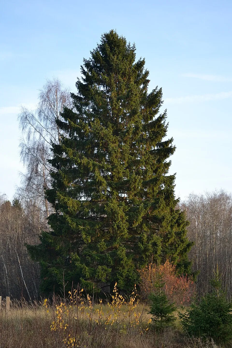
Among the species most often recorded on GBIF are Fagus sylvatica (European Beech), Quercus robur (Pedunculate Oak), Picea abies (Norway spruce) and Avenella flexuosa (Wavy hairgrass).
What is the official website of Kongernes Nordsjælland National Park?
© OpenStreetMap
Download the boundary: GeoJSON · GPX Boundary © OpenStreetMap contributors (ODbL).
Geography
The representative point of the site lies at around 52 m above sea level. Over the 1996–2025 period, the mean annual temperature is about 8.9 °C and total precipitation reaches roughly 764 mm per year. The warmest month is usually July, the coolest January, and the wettest August. According to the European 1:1 million geological map (EGDI), the bedrock consists mainly of sands and gravels (85% of sampled points) and glacial deposits (15%). These are mostly sedimentary rocks. The geological units date mainly from the Quaternary (100% of sampled points). The site contains 5 lakes larger than 10 ha, totalling 54.0 km² of water; the largest, Arresø, covers 37.7 km² (HydroLAKES). Esrum Sø (1,730 ha) is 22.3 m deep (Wikidata).
Area
- Area
- 26,250 ha
- Elevation
- 52 m
- Lakes over 10 ha
- 5 (54.0 km²)
- Coordinates
- 56.01, 12.3378
Lakes: HydroLAKES (Messager et al. 2016, hydrosheds.org, CC BY 4.0) · depths: Wikidata (CC0)
Bedrock
- Sands and gravels 85 %
- Glacial deposits 15 %
Sedimentary rocks 100 % · Main age: Quaternary (100%)
Source: EGDI 1:1M geological map (EuroGeoSurveys and national geological surveys), CC BY 4.0 · 13 sampled points within the site.
Main summits
- Tobakke85 m
- Trebakke82 m
- Lodsbakke69 m
- Nøddebjerg54 m
- Hyttebakke52 m
- Vildthusbakke51 m
- Barnefodsbakke51 m
- Kringelbakke50 m
- Tinghus Bakke48 m
- Trodshøj48 m
Data © OpenStreetMap contributors (ODbL)
Climate
● Mean temperature (°C) · ▮ Precipitation (mm)
Source: Copernicus ERA5-Land (C3S, doi:10.24381/cds.68d2bb30), monthly averages 1996–2025 interpolated to the representative point, temperatures adjusted for elevation.
Contains modified Copernicus Climate Change Service information 2026. Neither the European Commission nor ECMWF is responsible for any use that may be made of the Copernicus information or data it contains.
Natural habitats
According to CORINE Land Cover (2018), the site is mainly made up of forests (44%), lakes and rivers (21%) and farmland (20%). Woodland mixes broadleaved and coniferous trees. Elevation ranges from sea level to 85 m (highest point: Tobakke). The 10 Natura 2000 sites overlapping the area list 37 habitats of European interest (8 priority), the most extensive being natural eutrophic lakes with Magnopotamion or Hydrocharition-type vegetation, natural dystrophic lakes and ponds and Luzulo-Fagetum beech forests.
Biodiversity
Based on occurrences aggregated by GBIF, several species are regularly recorded within the site. Among the most frequent are Fagus sylvatica (European Beech), Quercus robur (Pedunculate Oak), Picea abies (Norway spruce) and Avenella flexuosa (Wavy hairgrass). The full list of documented taxa is shown below. The overlapping Natura 2000 sites list 27 species of European interest: 15 birds, 2 mammals, 1 amphibian, 3 fish, 5 invertebrates and 1 plant.
Habitats of European interest
From the official forms of the 10 Natura 2000 sites overlapping the area (areas reported for each whole site).
- Natural eutrophic lakes with Magnopotamion or Hydrocharition-type vegetation 4,226 ha
- Natural dystrophic lakes and ponds 3,996 ha
- Luzulo-Fagetum beech forests 2,098 ha
- Hard oligo-mesotrophic waters with benthic vegetation of Chara spp. 1,737 ha
- Asperulo-Fagetum beech forests 1,270 ha
- Alluvial forests with Alnus glutinosa and Fraxinus excelsior (Alno-Padion, Alnion incanae, Salicion albae) priority 573 ha
- Sub-Atlantic and medio-European oak or oak-hornbeam forests of the Carpinion betuli 522 ha
- Old acidophilous oak woods with Quercus robur on sandy plains 380 ha
and 29 more
Species of European interest
Birds · 15
Common Kingfisher (Alcedo atthis) breeding resident, Eurasian Bittern (Botaurus stellaris) breeding, European Nightjar (Caprimulgus europaeus), Western Marsh Harrier (Circus aeruginosus) breeding, Black Woodpecker (Dryocopus martius) breeding, Peregrine Falcon (Falco peregrinus) passage, White-tailed Eagle (Haliaeetus albicilla) breeding passage, Red-backed Shrike (Lanius collurio) breeding, Woodlark (Lullula arborea) breeding, Smew (Mergus albellus) wintering, Common Merganser (Mergus merganser) wintering, Red Kite (Milvus milvus) breeding and 3 more
Amphibians · 1
Fish · 3
European river lamprey (Lampetra fluviatilis), European brook lamprey (Lampetra planeri), Atlantic salmon (Salmo salar)
Invertebrates · 5
Anthrenochernes stellae, Yellow-spotted Whiteface (Leucorrhinia pectoralis), Hermit beetle (Osmoderma eremita), Narrow-mouthed whorl snail (Vertigo angustior), Desmoulin's whorl snail (Vertigo moulinsiana)
Plants · 1
Source: Natura 2000 standard data forms (EEA, CC-BY 4.0). Not exhaustive: sensitive species are not published.
Species to look out for

Observed species
Occurrences documented via GBIF; they are neither an exhaustive inventory nor proof of current presence.
- European Beech · Fagus sylvatica · 6908
- Pedunculate Oak · Quercus robur · 4495
- Norway spruce · Picea abies · 3628
- Wavy hairgrass · Avenella flexuosa · 3600
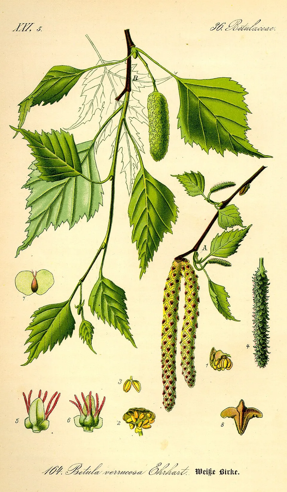
- Silver Birch · Betula pendula · 3296
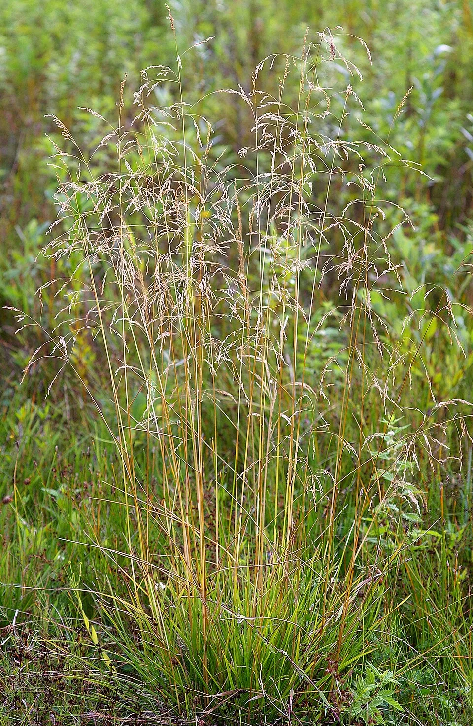
- Tufted hair-grass · Deschampsia cespitosa · 3090
- Soft rush · Juncus effusus · 2798
- Sycamore · Acer pseudoplatanus · 2439
- Raspberry · Rubus idaeus · 2286
- Downy birch · Betula pubescens · 2251
- Common Nettle · Urtica dioica · 2235
- Common Alder · Alnus glutinosa · 2190
+18 more species
- Greater stitchwort · Rabelera holostea · 2149
- Wood-sorrel · Oxalis acetosella · 2083
- Rowan · Sorbus aucuparia · 2032
- Scots Pine · Pinus sylvestris · 1983
- European ash · Fraxinus excelsior · 1965
- Narrow buckler-fern · Dryopteris carthusiana · 1840
- Hairy woodrush · Luzula pilosa · 1830
- Podila humilis · 1799
- Pill sedge · Carex pilulifera · 1716
- Purple small-reed · Calamagrostis canescens · 1698
- Scottish Heather · Calluna vulgaris · 1671
- American milletgrass · Milium effusum · 1645
- Purple moor-grass · Molinia caerulea · 1569
- Colonial bentgrass · Agrostis capillaris · 1459
- Red fescue · Festuca rubra · 1427
- Sand sedge · Carex arenaria · 1411
- European honeysuckle · Lonicera periclymenum · 1391
- Solicoccozyma terricola · 1378
Records: GBIF.org (CC-BY). Names: Wikidata (CC0), GBIF. Photos: Wikimedia Commons.
Conservation challenges
The primary purpose of the site is to preserve its natural habitats and the biodiversity they support. The species recorded (Biodiversity tab) reflect its ecological value. The designations it holds frame its management and the control of land use.
According to Global Forest Change data (University of Maryland, Global Forest Watch), about 1,690 ha of tree cover were lost within the boundary between 2001 and 2023 (6% of its area), peaking in 2016 and 2019. These losses include logging, storms and fires, and do not account for regrowth. According to the European CORINE Land Cover inventory (Copernicus), land cover changed on about 348 ha of the site between 1990 and 2018 (1% of its area): farmland shrank by 291 ha, mostly giving way to built-up land, while built-up land grew by 245 ha, mostly at the expense of farmland. Forest felling and regrowth add about 350 ha in total over the period. At night, 13% of the area gives off artificial light detectable from space (NASA VIIRS Black Marble composite, 2016). Built-up and developed land (buildings, business areas, roads, quarries) covers 11% of the area, and farmland 20% (CORINE Land Cover). According to the Natura 2000 forms, of 28 assessed habitats of European interest, 18 are in excellent condition and 3 in average or reduced condition. According to the Water Framework Directive assessment (2022 river basin management plans, data 2008–2020), only 20% of the 54 km of rivers assessed within the site are in good or high ecological status; the others mostly have moderate ecological status. Other assessed water bodies: lakes, 2 of 19 in good ecological status or better; coastal waters, 0 of 3 in good ecological status or better. Since 2000, 70 invasive alien species have been recorded within the site (GBIF observations), 13 of them listed as of Union concern under EU Regulation 1143/2014. Among them: Reynoutria japonica (Japanese Knotweed), Heracleum mantegazzianum (Giant Hogweed) and Impatiens glandulifera (Himalayan Balsam).
Pressure indicators
Tree cover lost
1,689 ha
2001–2023 · 6% of the area
20012023
Fires since 2016
0
No large fire mapped (fires over about 30 ha)
Light at night
13%
of the area gives off artificial light visible from space
DarkLit
Built-up land
11%
buildings, business areas, roads, quarries · farmland 20%
Land cover change
348 ha
changed cover, 1990–2018 · CORINE · 1% of the area
- −291 ha · farmland
- +245 ha · built-up land
forest felling and regrowth: 350 ha in total
Rivers and lakes
20%
of the 54 km of assessed rivers in good or high ecological status · WFD 2022
Lakes: 2 of 19 good or better
Coastal waters: 0 of 3 good or better
assessments 2008–2020
Invasive alien species
70
incl. 13 of EU concern · since 2000
 Japanese KnotweedEU
 Giant HogweedEU
 Himalayan BalsamEU
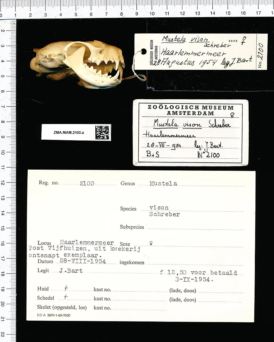 American minkEU
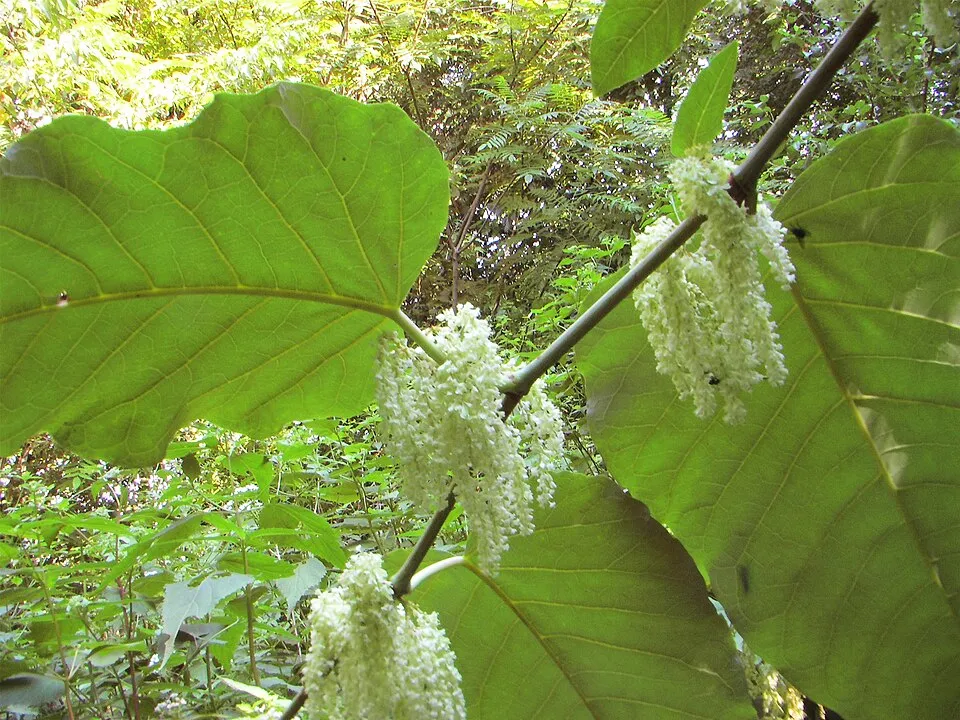 Giant KnotweedEU
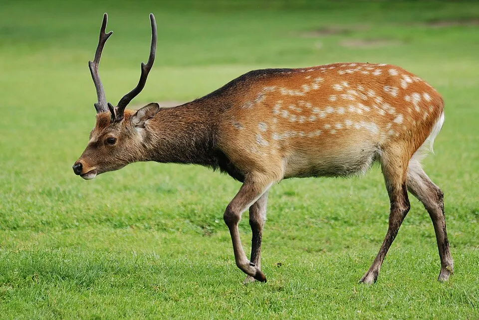 Sika deerEU
 Egyptian GooseEU
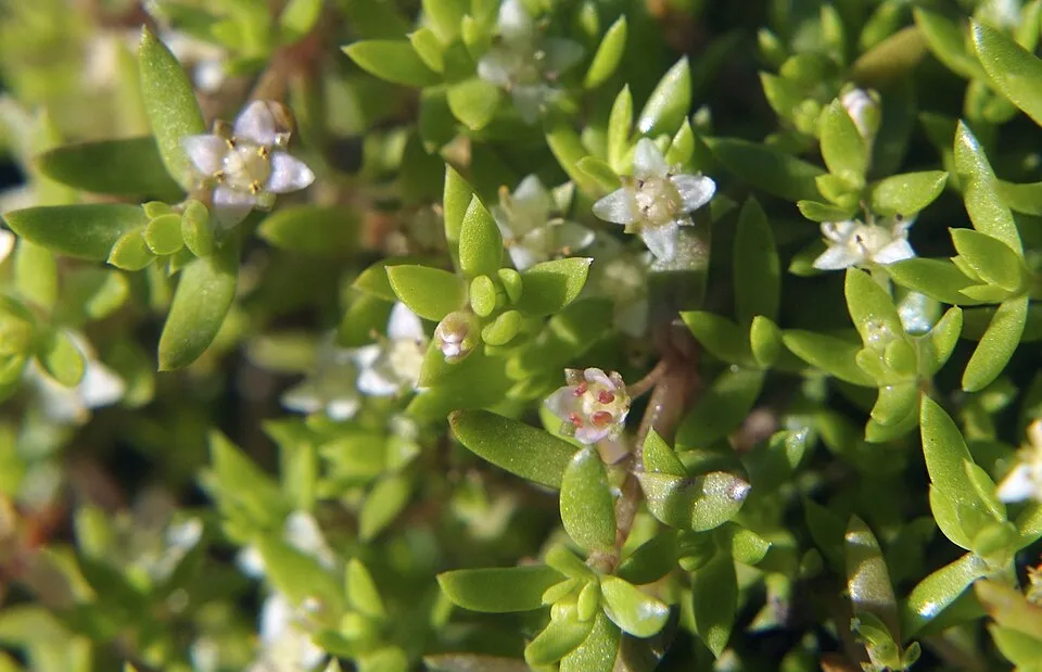 New Zealand PygmyweedEU
Photos: Japanese Knotweed © W.carter · CC0-1.0; Giant Hogweed © anastasiiamerkulova · CC BY 4.0; Himalayan Balsam © Guptaele · CC BY-SA 4.0; American mink © Schreber · CC0-1.0; Giant Knotweed © Velocicaptor · Public domain; Sika deer © Lilly M · CC BY-SA 3.0; Egyptian Goose © Rhododendrites · CC BY-SA 4.0; New Zealand Pygmyweed © ashley BALSAM baz · CC BY 2.0
Sources: Global Forest Change (Hansen et al., University of Maryland, via Global Forest Watch, CC-BY 4.0); EFFIS, European Commission / Copernicus; NASA Black Marble 2016 (public domain); CORINE Land Cover 2018 (Copernicus) or MODIS.
CORINE Land Cover Change 1990–2018: generated using European Union's Copernicus Land Monitoring Service information (EEA), aggregated by Parkavela; DOI 10.2909/f30f1000-7cf8-43bb-872c-5eb093911b24.
Ecological status of water bodies: European Environment Agency, WISE – Water Framework Directive, 3rd river basin management plans (2022), CC BY 4.0. Official national classification, not comparable between countries.
Invasive alien species: Global Register of Introduced and Invasive Species (ISSG, CC BY 4.0); Union list, Regulation (EU) 1143/2014 (INBO, CC0); GBIF.org records (CC0 / CC BY 4.0), at least 2 per species.
Practical information
Cities and airport
- Helsingborg
6 km as the crow flies - Frederiksberg
26 km as the crow flies - Airport: Copenhagen (CPH)
36 km as the crow flies
Visitor information
- Bunker 61
within the site
Parking
438 public car parks listed within the site
ApperupskolenHellebækskolenLille KulgabDanstrup Hegn
Things to see
18 lakes and ponds
- Arresø
lake or pond - Esrum Sø
lake or pond · 94 m - Solbjerg Engsø
lake or pond - Teglgård Sø
lake or pond - Gurre Sø
lake or pond · 25 m
Hiking
34 waymarked routes listed, including:
E 6Fjordstien VandrestiHalsninoenHillerødKulsvierstienDen danske Pilgrimsrute
By bike
EV7 · 4 km 48 Slotsruten · 36 kmButterfly Route · 33 km47 Nordkystruten · 22 km33 Gillelejestien · 14 km
+ 13 local loops
Signed cycle routes: this does not mean that cycling is allowed on footpaths.
Data © OpenStreetMap contributors (ODbL) · Wikidata (CC0)
Contains information from EuroVelo GPX tracks downloaded from www.EuroVelo.com on 2026-10-22, which is made available here under the Open Database License (ODbL). EuroVelo® is a registered trademark of the ECF. Routes © OpenStreetMap contributors (ODbL), via Waymarked Trails
Waymarked hiking routes
E6 European long distance path E6: Helsingør - Roskilde
29.3 km within the site ↗ 12 m↘ 68 m 2–64 m
Helsingør - Roskilde Den danske Pilgrimsrute - Nordsjælland
36.1 km within the site ↗ 63 m↘ 10 m 8–64 m
Tracks © OpenStreetMap contributors (ODbL), clipped to the boundary; elevation gain and profiles computed on the longest section from Mapzen Terrain Tiles (≈ 30 m), indicative only.
Bathing
34 monitored bathing sites in or within 1 km of the site · 2025 classification
Excellent · 30
Good · 2
Not classified · 2
- 100 Meter Sv For Udløb Af Vesterbæk · sea · Excellent
- 200 M Øst For Udløb Fra Nordkystens R/a · sea · Excellent
- Babyloneskoven · sea · Excellent
- Badebro Syd For Espergærde Havn · sea · Excellent
- Badebro Ud For Strandvejen 220 · sea · Excellent
- Bjerre Strand · sea · Excellent
- Byåsgårds Campingplads · sea · Excellent
- Dronningmølle Strand · sea · Excellent
- Esrum Sø Syd For Nødebo · lake · Excellent
- Esrum Sø, Jonstrup Esrumvej · lake · Excellent
and 24 more
Source: European Environment Agency, official bathing water classification (Directive 2006/7/EC, CC-BY 4.0). Swimming is only permitted at the sites and times authorised locally.
Access and visiting
Frederiksværk railway station lies within the site. Nearest towns of over 50,000 people, as the crow flies: Helsingborg (6 km) and Frederiksberg (26 km). Nearest airport: Copenhagen (CPH), about 36 km away. About 840,000 people live within 20 km of the site boundary, 410,000 of them within 10 km; some 40,000 people are estimated to live inside (GHSL estimate, 2020). This population has grown by about 11% since 2000. Visitor information on site: Bunker 61. Public car parks listed within the site: 438, including Apperupskolen, Hellebækskolen and Lille Kulgab. Waymarked hiking routes listed in OpenStreetMap: 34, including E 6, Fjordstien Vandresti, Halsninoen and Hillerød. The EuroVelo 7 cycle route (Sun Route) crosses the site for about 4 km, mostly developed and signed; 6 other signed cycle routes also pass through, including “48 Slotsruten” and “Butterfly Route” (EuroVelo, OpenStreetMap). To see: 18 lakes and ponds, including Arresø, Esrum Sø (94 m), Solbjerg Engsø and Teglgård Sø. To plan a visit (access, opening periods, visitor rules), it is best to consult the official information from the managing body and the official website listed in this page's sources.
Source: OpenStreetMap (ODbL), Wikidata (CC0), October 2026.
Built heritage
According to Wikidata, 18 monuments entered in the Danish register of listed buildings (fredede bygninger) stand within the boundary. Among them are 8 houses and civic buildings, 4 castles and fortifications and 2 religious buildings. Examples include “Esrum Abbey” in Gribskov, “Frederiksborg Palace” in Hillerød and “Helsingør City Museum” in Helsingør. “Kronborg Castle” in Helsingør is listed as UNESCO World Heritage.
8 houses and civic buildings4 castles and fortifications2 religious buildings
-
Kronborg Castle
UNESCO
Helsingør -
Esrum Abbey
Gribskov · 12th c. -
Frederiksborg Palace
Hillerød · 17th c. -
Helsingør City Museum
Helsingør -
Nicolai Dahls Gård
Helsingør · 18th c. -
Carmelite Priory
Helsingør -
Gurre Castle
Helsingør · 12th c. -
Stephen Hansen Mansion
Helsingør
and 10 more
Source: Wikidata (CC0), monuments in each country’s official heritage protection registers, at national or regional level. Each item links to its Wikidata entry.
When to visit
Best time to visit: May and June, with average temperatures of 11 to 16 °C and moderate rainfall. Day length ranges from about 6 h 59 min in December to 17 h 35 min in June. Wildlife records published on GBIF peak for birds (from March to May), plants (from July to September), butterflies and moths (from May to August), dragonflies (June) and mammals (from April to July). These peaks also reflect when observers are most active.
Source: Copernicus ERA5-Land (C3S), monthly averages 1996–2025 at the representative point, temperatures adjusted for elevation.
Contains modified Copernicus Climate Change Service information 2026. Neither the European Commission nor ECMWF is responsible for any use that may be made of the Copernicus information or data it contains.
Wildlife records calendar
JFMAMJJASOND
Birds
Plants
Butterflies & moths
Dragonflies
Mammals
Monthly records published on GBIF (CC-BY), relative to the busiest month; also reflects observer activity.
Gallery
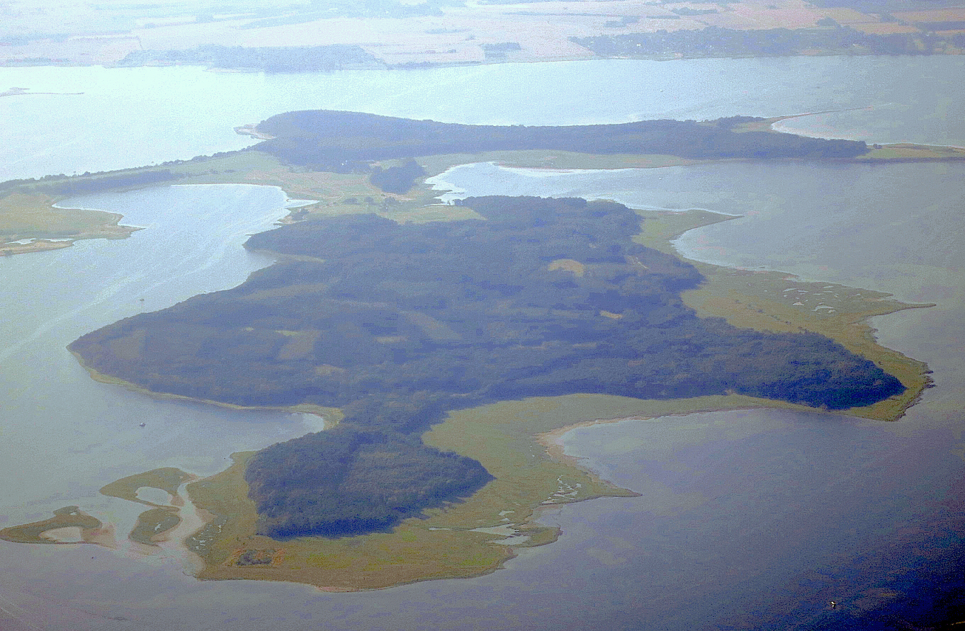
© Guillaume Baviere from Helsingborg, Sweden · CC BY 2.0
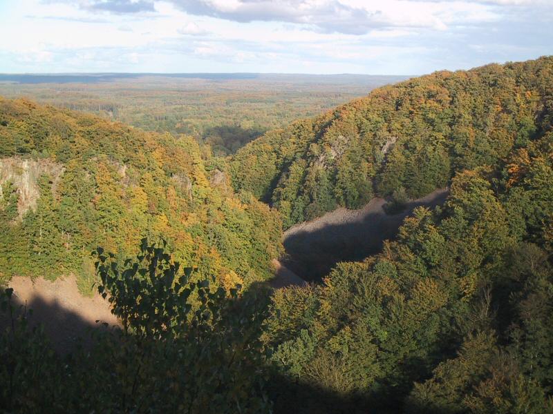
© Nils Jepsen /Nico · CC BY-SA 4.0
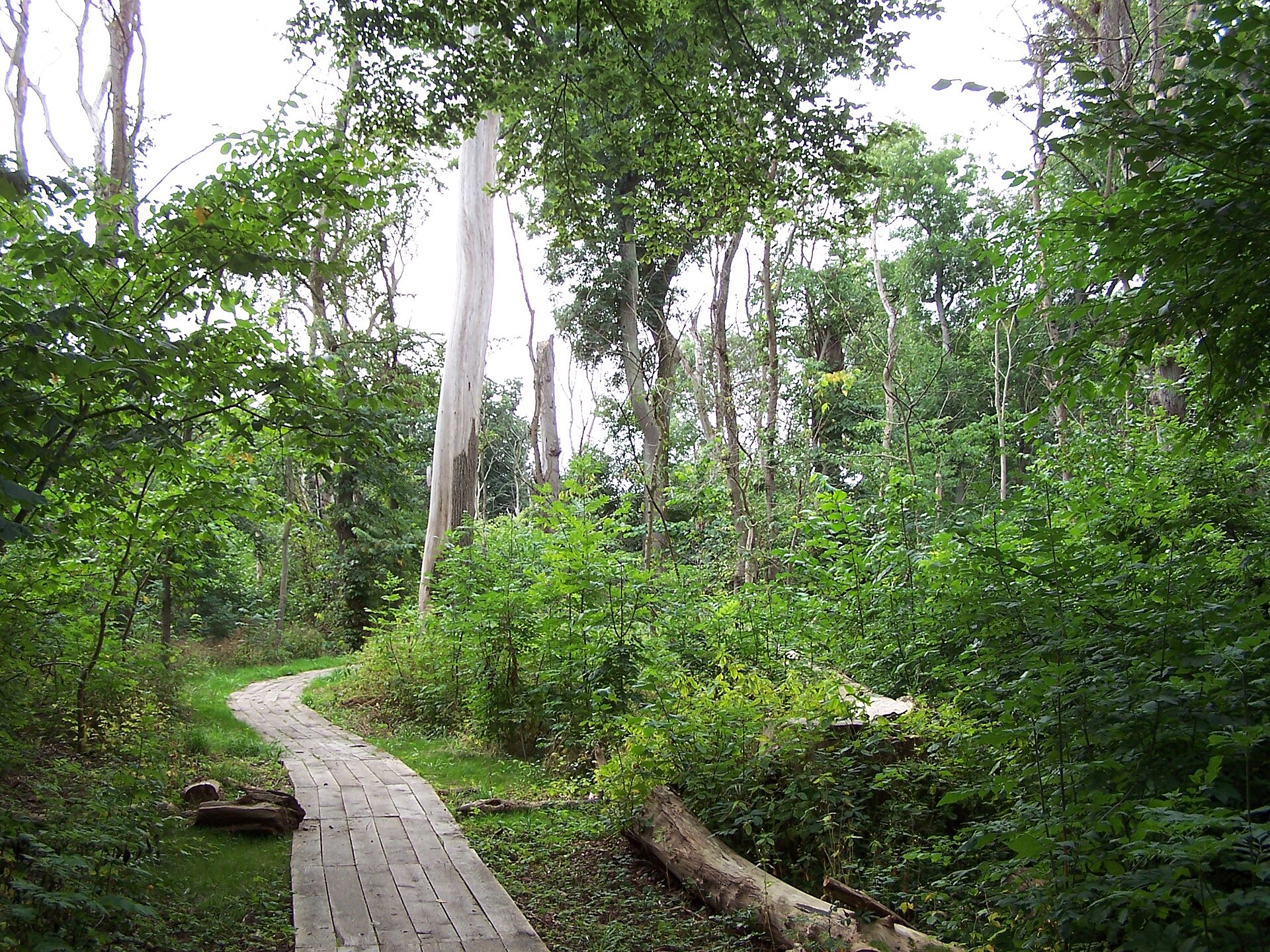
© Dybdahl · Public domain
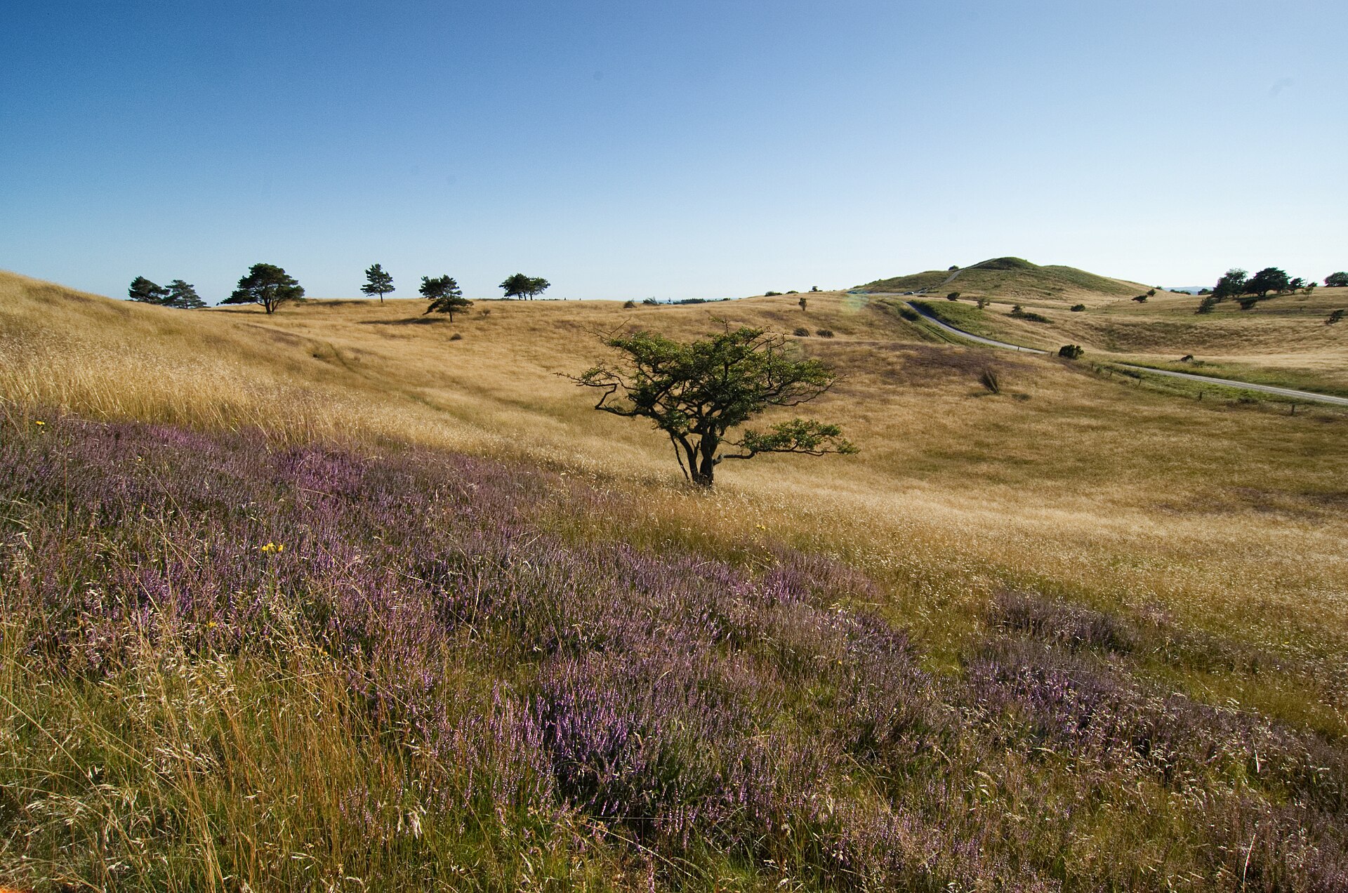
© Ramloser · Public domain
© Kresten Hartvig Klit · CC BY-SA 2.5
© Kresten Hartvig Klit · CC BY-SA 2.5
Sources and licences
- Wikidata: Q10594802
- OpenStreetMap: relation 15312449
- Official website: http://danmarksnationalparker.dk/kongernes-nordsjaelland/
- Wikipedia: en.wikipedia.org/wiki/Kongernes_Nordsjælland
References
- cds.climate.copernicus.eu: climate · CC-BY-4.0
- registry.opendata.aws: elevation of the reference point, detailed relief · PD
- land.copernicus.eu: land cover, land cover change, sea share · COPERNICUS
- doi.org: population around the site · CC-BY-4.0
- wikidata.org: official area, protected heritage, nearby cities and airport, access and peaks, lake depths, places to see, official website · CC0-1.0
- eea.europa.eu: bathing water quality, ecological status of waters · CC-BY-4.0
- en.eurovelo.com: EuroVelo cycle routes · ODbL-1.0
- cycling.waymarkedtrails.org: cycle routes · ODbL-1.0
- opentopodata.org: elevations · PD
- forest-fire.emergency.copernicus.eu: wildfires · COPERNICUS
- globalforestwatch.org: tree cover loss · CC-BY-4.0
- gbif.org: seasonality of sightings, invasive alien species, observed species · CC-BY-4.0
- europe-geology.eu: geology · CC-BY-4.0
- hydrosheds.org: lakes · CC-BY-4.0
- natura2000.eea.europa.eu: Natura 2000 habitats and species · CC-BY-4.0
- openstreetmap.org: official name, access and peaks, trail difficulty, wheelchair access · ODbL-1.0
- earthobservatory.nasa.gov: night light · PD
- hiking.waymarkedtrails.org: route difficulty · ODbL-1.0
- nsidc.org: snow cover · PD
- wikidata.org: Wikipedia article · CC-BY-SA-4.0
Data © OpenStreetMap contributors (ODbL), Wikidata (CC0) and the sources cited.