Plant
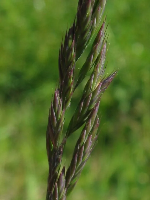
Red fescue
Festuca rubra1,752 records © Kristian Peters -- Fabelfroh 12:31, 9 September 2006 (UTC) · CC BY-SA 3.0
Denmark · Mixed
National park of 16,940 hectares in Denmark.
National park of 16,940 hectares in Denmark.
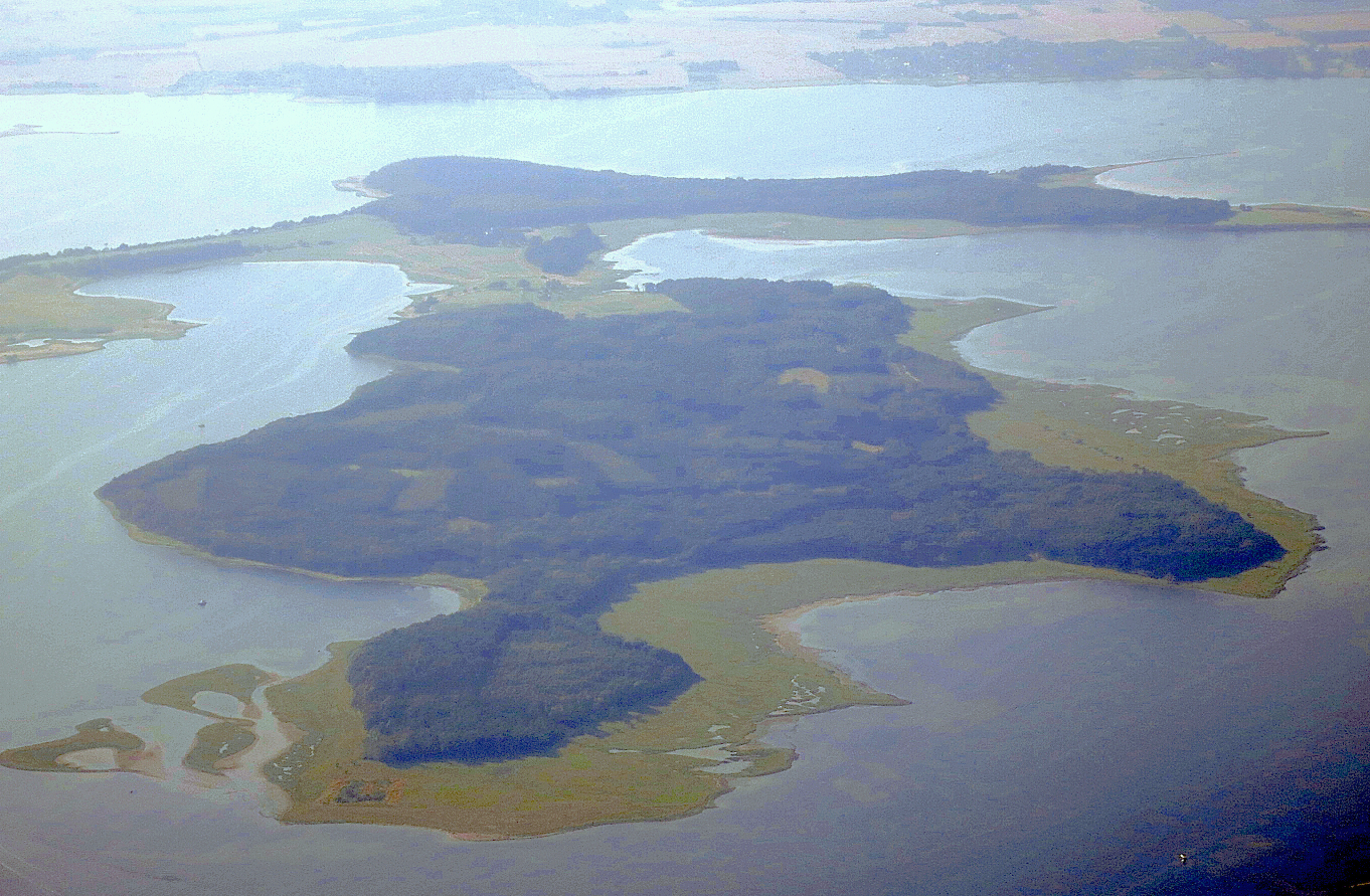
Skjoldungernes Land National Park is located in Denmark (Europe). It covers both land and sea. It covers about 16,940 hectares.
Protected as a national park. International labels and designations: Natura 2000 network (3 sites). Key dates: first Natura 2000 site under the Birds Directive in 1983 and first Natura 2000 site under the Habitats Directive in 2011.
Sources: Wikidata (CC0) for establishment and international labels; EEA Natura 2000 database (CC-BY 4.0) for site designation dates.
In Denmark (Europe). Representative point: 55.6550° N, 11.9800° E.
About 16,940 hectares (169 km²). It is the 5th largest of the 5 national parks in Denmark covered by Parkavela. About 5,800 ha are at sea.
An area spanning land and sea, with coasts.
According to the European 1:1 million geological map (EGDI), the bedrock consists mainly of glacial deposits (100% of sampled points). These are mostly sedimentary rocks. The geological units date mainly from the Quaternary (100% of sampled points).
Skovbakke, at 114 m (OpenStreetMap).
Skovbakke (114 m), Æblebjerg (111 m), Kongebjerg (81 m), Roskilde Bakke (78 m) and Lambakke (69 m) (OpenStreetMap).
Natura 2000 network (3 sites).
Best time to visit: September and October, with average temperatures of 10 to 15 °C and moderate rainfall.
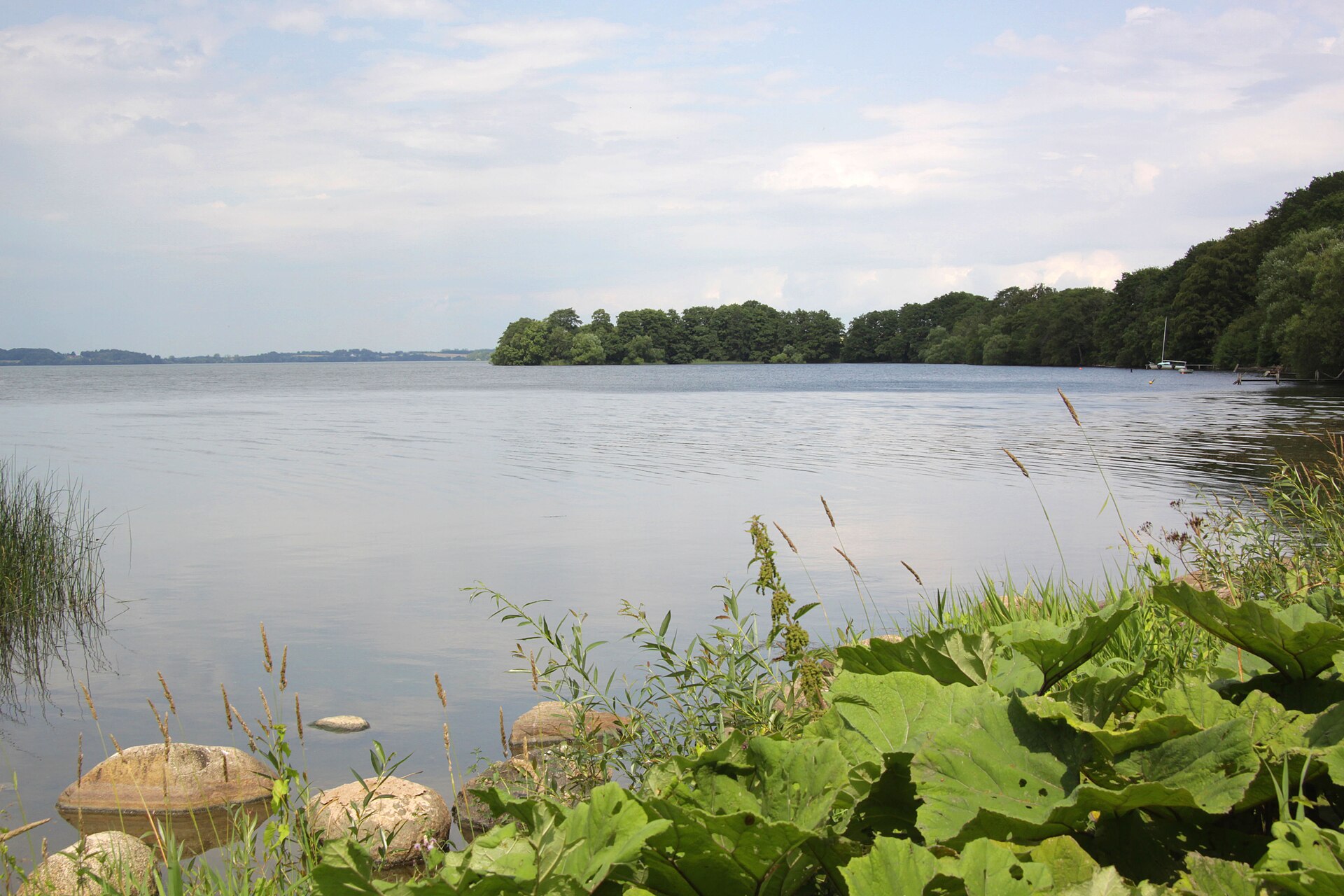
3 lakes and ponds, including Store Kattinge Sø, Selsø Sø and Buesø (Wikidata).
Yes. According to Wikidata, 8 monuments entered in the Danish register of listed buildings (fredede bygninger) stand within the boundary. For example: “Sankt Laurentii Church Tower” in Roskilde, “Rektorbolig” in Roskilde and “Tadre Watermill” in Lejre.
9 monitored bathing sites lie in or within 1 km of the site; official 2025 classification: 9 excellent (European Environment Agency). Swimming is only permitted at the sites and times authorised locally.
Nearest towns of over 50,000 people, as the crow flies: Roskilde (within the area) and Frederiksberg (26 km). Nearest airport: Copenhagen (CPH), about 35 km away.
Hvalsø railway station lies within the site.
Velkomstcenter, Turist Information and Butikken.
Yes. Waymarked hiking routes listed in OpenStreetMap: 11, including E 6, Fjordstien Vandresti, Gudernes Stræde and Den danske Pilgrimsrute. The “Skjoldungestien” route runs for about 36 km through the site, with some 70 m of ascent on its longest section.
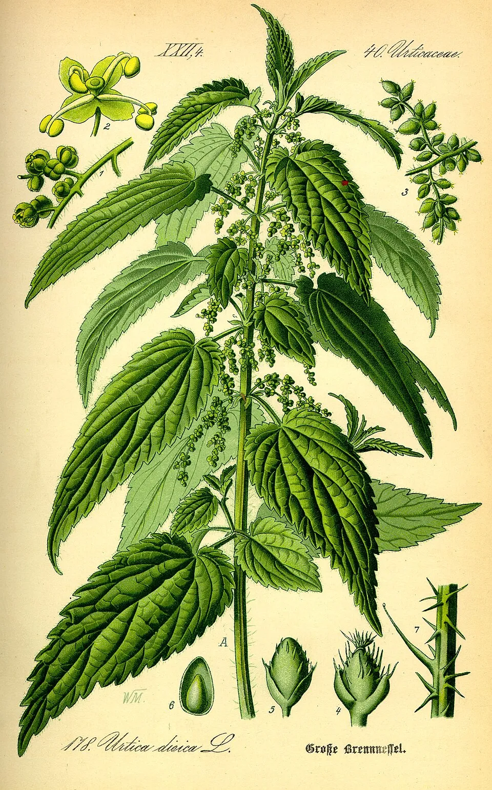
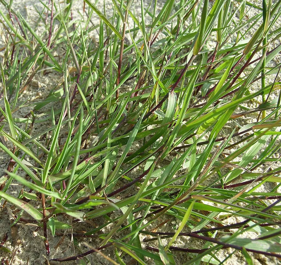
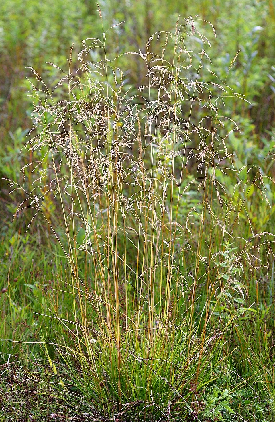
Among the species most often recorded on GBIF are Festuca rubra (Red fescue), Urtica dioica (Common Nettle), Agrostis stolonifera (Creeping Bent) and Fagus sylvatica (European Beech).
© OpenStreetMap
Download the boundary: GeoJSON · GPX Boundary © OpenStreetMap contributors (ODbL).
The representative point of the site lies at around 1 m above sea level. Over the 1996–2025 period, the mean annual temperature is about 9.2 °C and total precipitation reaches roughly 703 mm per year. The warmest month is usually July, the coolest January, and the wettest July. According to the European 1:1 million geological map (EGDI), the bedrock consists mainly of glacial deposits (100% of sampled points). These are mostly sedimentary rocks. The geological units date mainly from the Quaternary (100% of sampled points). The site contains 3 lakes larger than 10 ha, totalling 1.3 km² of water; the largest, Selsø Sø, covers 63 ha (HydroLAKES).
Lakes: HydroLAKES (Messager et al. 2016, hydrosheds.org, CC BY 4.0) · depths: Wikidata (CC0)
Sedimentary rocks 100 % · Main age: Quaternary (100%)
Source: EGDI 1:1M geological map (EuroGeoSurveys and national geological surveys), CC BY 4.0 · 9 sampled points within the site.
Data © OpenStreetMap contributors (ODbL)
● Mean temperature (°C) · ▮ Precipitation (mm)
Source: Copernicus ERA5-Land (C3S, doi:10.24381/cds.68d2bb30), monthly averages 1996–2025 interpolated to the representative point, temperatures adjusted for elevation.
Contains modified Copernicus Climate Change Service information 2026. Neither the European Commission nor ECMWF is responsible for any use that may be made of the Copernicus information or data it contains.
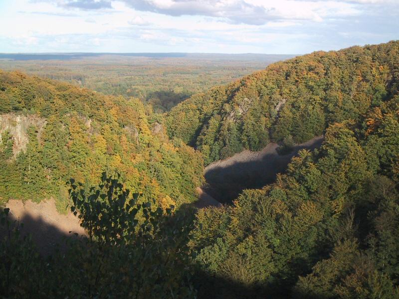
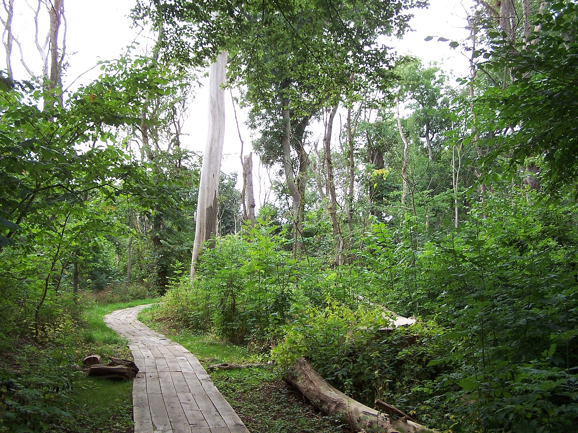
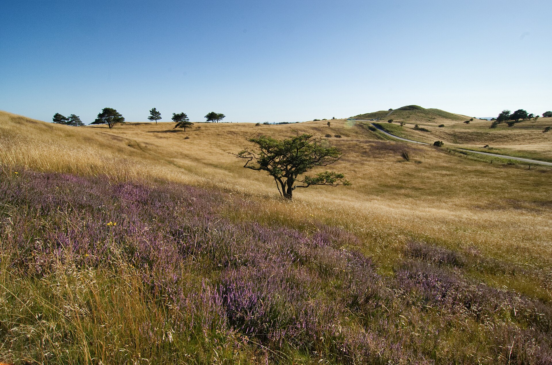
According to CORINE Land Cover (2018), the land area is mainly made up of farmland (55%), forests (23%) and built-up or developed land (10%). Woodland mixes broadleaved and coniferous trees. The sea covers about 34% of the site. Elevation ranges from sea level to 114 m (highest point: Skovbakke). The 3 Natura 2000 sites overlapping the area list 28 habitats of European interest (6 priority), the most extensive being large shallow inlets and bays, Atlantic salt meadows (Glauco-Puccinellietalia maritimae) and sandbanks which are slightly covered by sea water all the time.
Based on occurrences aggregated by GBIF, several species are regularly recorded within the site. Among the most frequent are Festuca rubra (Red fescue), Urtica dioica (Common Nettle), Agrostis stolonifera (Creeping Bent) and Fagus sylvatica (European Beech). The full list of documented taxa is shown below. The overlapping Natura 2000 sites list 26 species of European interest: 16 birds, 1 mammal, 1 amphibian, 1 fish, 4 invertebrates and 3 plants.
From the official forms of the 3 Natura 2000 sites overlapping the area (areas reported for each whole site).
and 20 more
Northern Shoveler (Anas clypeata) passage, Greylag Goose (Anser anser) passage, Tufted Duck (Aythya fuligula) wintering, Common Goldeneye (Bucephala clangula) wintering, Whooper Swan (Cygnus cygnus) wintering, Mute Swan (Cygnus olor) passage, Peregrine Falcon (Falco peregrinus) passage, Common Coot (Fulica atra) passage, White-tailed Eagle (Haliaeetus albicilla) resident passage, Red-backed Shrike (Lanius collurio) breeding, Common Merganser (Mergus merganser) wintering, European Golden Plover (Pluvialis apricaria) passage and 4 more
Anthrenochernes stellae, Hermit beetle (Osmoderma eremita), Narrow-mouthed whorl snail (Vertigo angustior), Desmoulin's whorl snail (Vertigo moulinsiana)
Buxbaumia moss (Buxbaumia viridis), Hamatocaulis moss (Hamatocaulis vernicosus), Fen orchid (Liparis loeselii)
Source: Natura 2000 standard data forms (EEA, CC-BY 4.0). Not exhaustive: sensitive species are not published.
Plant
1,752 records © Kristian Peters -- Fabelfroh 12:31, 9 September 2006 (UTC) · CC BY-SA 3.0

Occurrences documented via GBIF; they are neither an exhaustive inventory nor proof of current presence.
Records: GBIF.org (CC-BY). Names: Wikidata (CC0), GBIF. Photos: Wikimedia Commons.
The primary purpose of the site is to preserve its natural habitats and the biodiversity they support. The species recorded (Biodiversity tab) reflect its ecological value. The designations it holds frame its management and the control of land use.
According to Global Forest Change data (University of Maryland, Global Forest Watch), about 292 ha of tree cover were lost within the boundary between 2001 and 2023 (2% of its area), peaking in 2008 and 2019. These losses include logging, storms and fires, and do not account for regrowth. According to the European CORINE Land Cover inventory (Copernicus), land cover changed on about 137 ha of the site between 1990 and 2018 (1% of its area): built-up land grew by 137 ha, mostly at the expense of farmland, while farmland shrank by 137 ha, mostly giving way to built-up land. At night, 9% of the area gives off artificial light detectable from space (NASA VIIRS Black Marble composite, 2016). Built-up and developed land (buildings, business areas, roads, quarries) covers 7% of the area, and farmland 36% (CORINE Land Cover). According to the Natura 2000 forms, of 25 assessed habitats of European interest, 8 are in excellent condition and 3 in average or reduced condition. According to the Water Framework Directive assessment (2022 river basin management plans, data 2008–2020), only 30% of the 40 km of rivers assessed within the site are in good or high ecological status; the others mostly have bad ecological status. Other assessed water bodies: lakes, 0 of 7 in good ecological status or better; coastal waters, 0 of 2 in good ecological status or better. Since 2000, 48 invasive alien species have been recorded within the site (GBIF observations), 6 of them listed as of Union concern under EU Regulation 1143/2014. Among them: Heracleum mantegazzianum (Giant Hogweed), Reynoutria japonica (Japanese Knotweed) and Oxyura jamaicensis (Ruddy Duck).
292 ha
2001–2023
0
No large fire mapped (fires over about 30 ha)
9%
of the area gives off artificial light visible from space
7%
buildings, business areas, roads, quarries · farmland 36%
137 ha
changed cover, 1990–2018 · CORINE · 1% of the area
30%
of the 40 km of assessed rivers in good or high ecological status · WFD 2022
Lakes: 0 of 7 good or better
Coastal waters: 0 of 2 good or better
assessments 2008–2020
48
incl. 6 of EU concern · since 2000
 Giant HogweedEU
 Japanese KnotweedEU
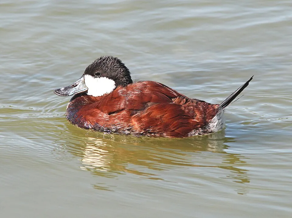 Ruddy DuckEU
 Himalayan BalsamEU
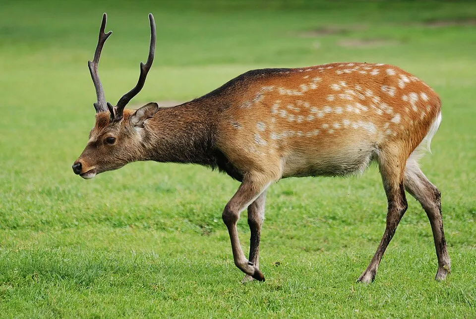 Sika deerEU
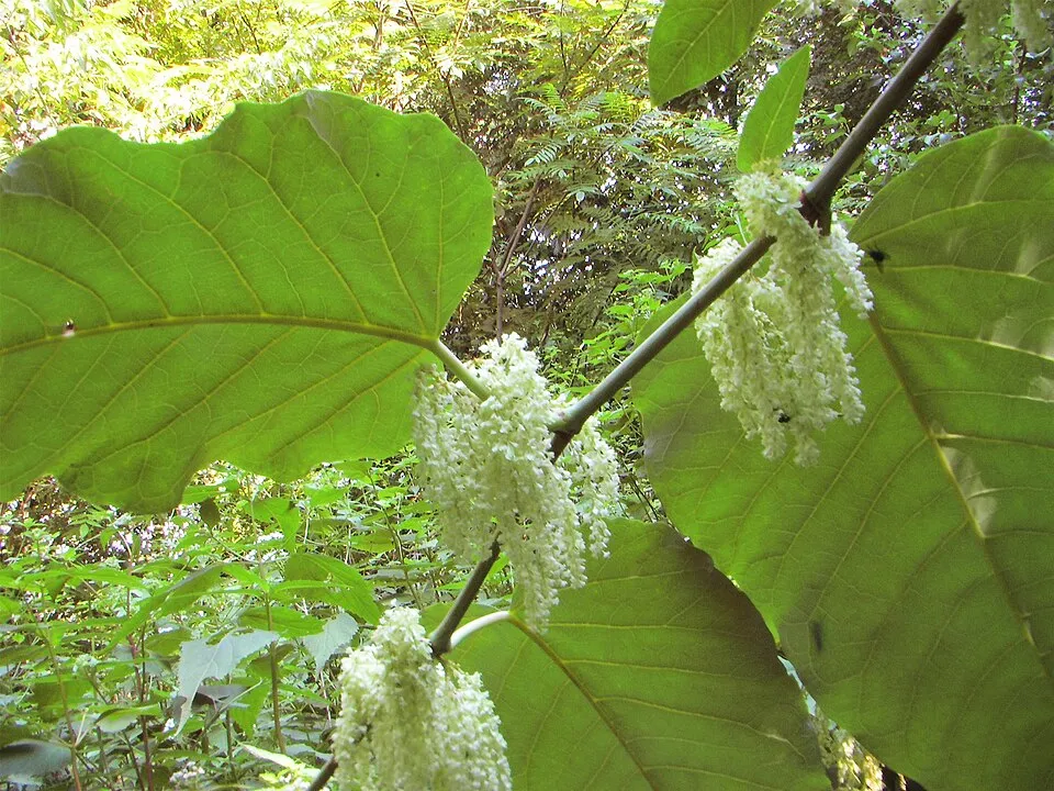 Giant KnotweedEU
Acartia (Acanthacartia) tonsa
 Small balsam
Photos: Giant Hogweed © anastasiiamerkulova · CC BY 4.0; Japanese Knotweed © W.carter · CC0-1.0; Ruddy Duck © ALAN SCHMIERER · CC0-1.0; Himalayan Balsam © Guptaele · CC BY-SA 4.0; Sika deer © Lilly M · CC BY-SA 3.0; Giant Knotweed © Velocicaptor · Public domain; Small balsam © André Karwath aka Aka · CC BY-SA 2.5
Sources: Global Forest Change (Hansen et al., University of Maryland, via Global Forest Watch, CC-BY 4.0); EFFIS, European Commission / Copernicus; NASA Black Marble 2016 (public domain); CORINE Land Cover 2018 (Copernicus) or MODIS.
CORINE Land Cover Change 1990–2018: generated using European Union's Copernicus Land Monitoring Service information (EEA), aggregated by Parkavela; DOI 10.2909/f30f1000-7cf8-43bb-872c-5eb093911b24.
Ecological status of water bodies: European Environment Agency, WISE – Water Framework Directive, 3rd river basin management plans (2022), CC BY 4.0. Official national classification, not comparable between countries.
Invasive alien species: Global Register of Introduced and Invasive Species (ISSG, CC BY 4.0); Union list, Regulation (EU) 1143/2014 (INBO, CC0); GBIF.org records (CC0 / CC BY 4.0), at least 2 per species.
141 public car parks listed within the site
3 lakes and ponds
11 waymarked routes listed, including:
Signed cycle routes: this does not mean that cycling is allowed on footpaths.
accessible toilets: 11
Reported by OpenStreetMap contributors (ODbL); check with the park before visiting.
Data © OpenStreetMap contributors (ODbL) · Wikidata (CC0)
Routes © OpenStreetMap contributors (ODbL), via Waymarked Trails
23.7 km within the site ↗ 58 m↘ 149 m 6–98 m
2 km within the site ↗ 0 m↘ 37 m 5–43 m
22.8 km within the site ↗ 138 m↘ 50 m 6–98 m
Tracks © OpenStreetMap contributors (ODbL), clipped to the boundary; elevation gain and profiles computed on the longest section from Mapzen Terrain Tiles (≈ 30 m), indicative only.
9 monitored bathing sites in or within 1 km of the site · 2025 classification
Source: European Environment Agency, official bathing water classification (Directive 2006/7/EC, CC-BY 4.0). Swimming is only permitted at the sites and times authorised locally.
Hvalsø railway station lies within the site. Nearest towns of over 50,000 people, as the crow flies: Roskilde (within the area) and Frederiksberg (26 km). Nearest airport: Copenhagen (CPH), about 35 km away. About 710,000 people live within 20 km of the site boundary, 210,000 of them within 10 km; some 23,000 people are estimated to live inside (GHSL estimate, 2020). This population has grown by about 9% since 2000. Visitor information on site: Velkomstcenter, Turist Information and Butikken. Public car parks listed within the site: 141, including Fondens Bro Coach Parking, Sankt Ols Stræde coach parking and Udsigten. Waymarked hiking routes listed in OpenStreetMap: 11, including E 6, Fjordstien Vandresti, Gudernes Stræde and Den danske Pilgrimsrute. The site is crossed by 8 signed cycle routes, including “6 Esbjerg–København” and “4 Danmark på tværs” (OpenStreetMap). OpenStreetMap contributors list one wheelchair-accessible place: Butikken; check with the park before visiting. To see: 3 lakes and ponds, including Store Kattinge Sø, Selsø Sø and Buesø. To plan a visit (access, opening periods, visitor rules), it is best to consult the official information from the managing body and the official website listed in this page's sources.
Source: OpenStreetMap (ODbL), Wikidata (CC0), October 2026.
According to Wikidata, 8 monuments entered in the Danish register of listed buildings (fredede bygninger) stand within the boundary. Among them are 2 houses and civic buildings, 1 religious building and 1 bridge, lighthouse, mill or working building. Examples include “Sankt Laurentii Church Tower” in Roskilde, “Rektorbolig” in Roskilde and “Tadre Watermill” in Lejre.
and 1 more
Source: Wikidata (CC0), monuments in each country’s official heritage protection registers, at national or regional level. Each item links to its Wikidata entry.
Best time to visit: September and October, with average temperatures of 10 to 15 °C and moderate rainfall. Day length ranges from about 7 h 03 min in December to 17 h 29 min in June. Wildlife records published on GBIF peak for birds (from February to June), plants (from July to September), butterflies and moths (July), dragonflies (May and June) and mammals (from March to June). These peaks also reflect when observers are most active.
Source: Copernicus ERA5-Land (C3S), monthly averages 1996–2025 at the representative point, temperatures adjusted for elevation.
Contains modified Copernicus Climate Change Service information 2026. Neither the European Commission nor ECMWF is responsible for any use that may be made of the Copernicus information or data it contains.
Monthly records published on GBIF (CC-BY), relative to the busiest month; also reflects observer activity.
Data © OpenStreetMap contributors (ODbL), Wikidata (CC0) and the sources cited.