
France · Terrestrial
Médoc Regional Natural Park
Regional nature park of 238,880 hectares in France, established in 2019.
Overview
Regional nature park of 238,880 hectares in France, established in 2019.
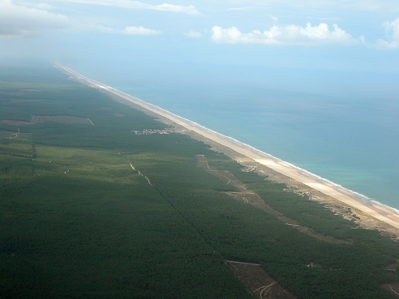
Médoc Regional Natural Park is a regional nature park in France (Europe). It is a predominantly terrestrial area. Established in 2019, it covers about 238,880 hectares.
Protections and designations
Natura 2000 · habitats (SAC) · 6 sites
- Boisements à chênes verts des dunes du littoral girondin FR7200697
- Dunes du littoral girondin de la Pointe de Grave au Cap Ferret FR7200678
- Forêt de la Pointe de Grave FR7200703
- Marais du Bas Médoc FR7200680
- Marais du Haut Médoc FR7200683
- Zones humides de l'arrière dune du littoral girondin FR7200681
Natura 2000 · birds (SPA) · 2 sites
- Côte médocaine : dunes boisées et dépression humides FR7210030
- Marais du Nord Médoc FR7210065
Protected as a regional nature park. International labels and designations: Natura 2000 network (8 sites). Key dates: first Natura 2000 site under the Birds Directive in 2004, first Natura 2000 site under the Habitats Directive in 2004 and established in 2019.
In our collections
Timeline
-
2004
First Natura 2000 site under the Birds Directive 2 such sites designated up to 2004
-
2004
First Natura 2000 site under the Habitats Directive 6 such sites designated up to 2006
-
2019
Established
Sources: Wikidata (CC0) for establishment and international labels; EEA Natura 2000 database (CC-BY 4.0) for site designation dates.
Frequently asked questions
Where is Médoc Regional Natural Park?
In France (Europe). Representative point: 45.2051° N, 0.8870° W.
How large is Médoc Regional Natural Park?
About 238,880 hectares (2,389 km²). It is the 14th largest of the 59 regional parks in France covered by Parkavela.
When was Médoc Regional Natural Park established?
In 2019.
What habitats and landscapes does Médoc Regional Natural Park include?
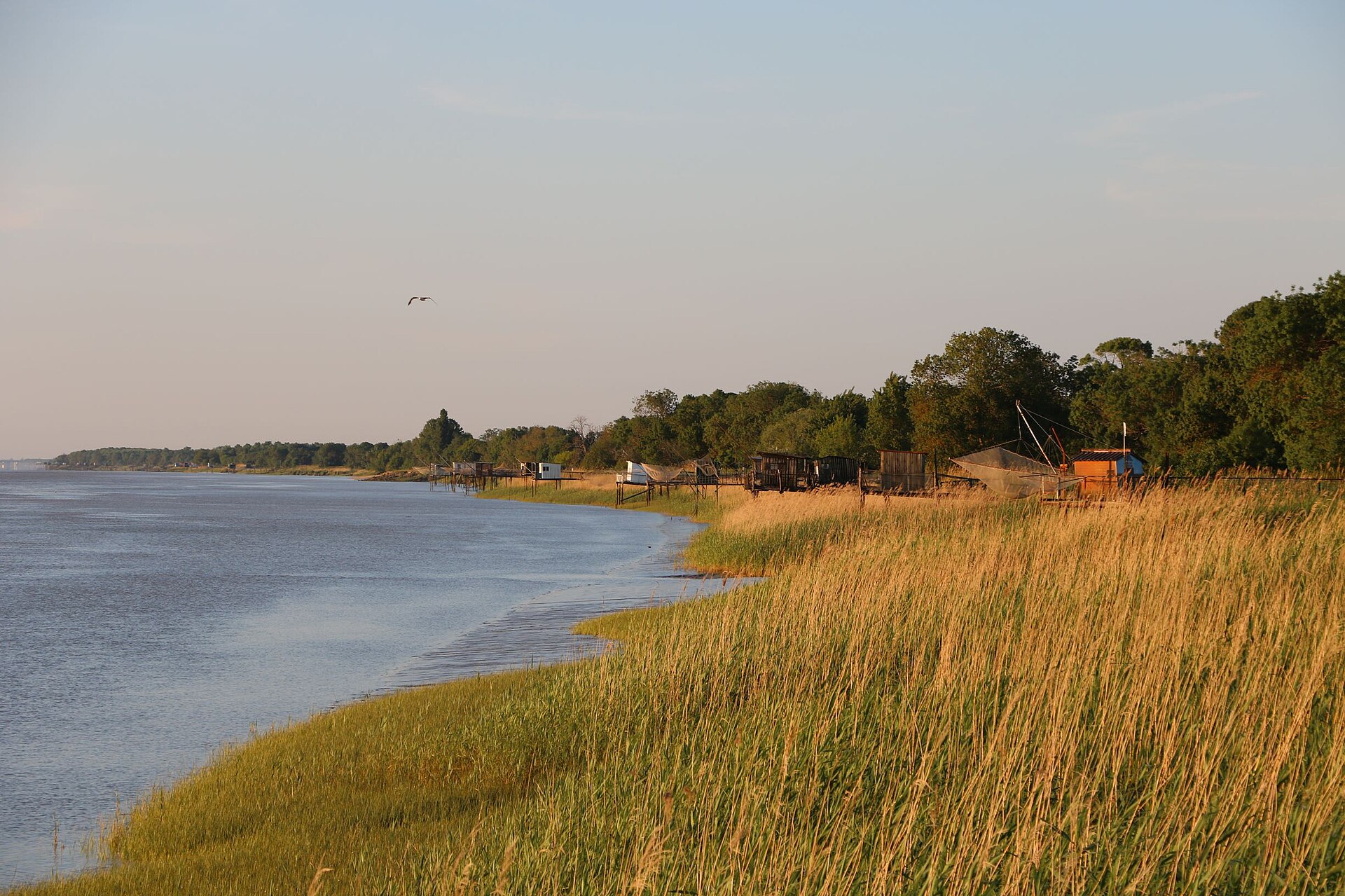
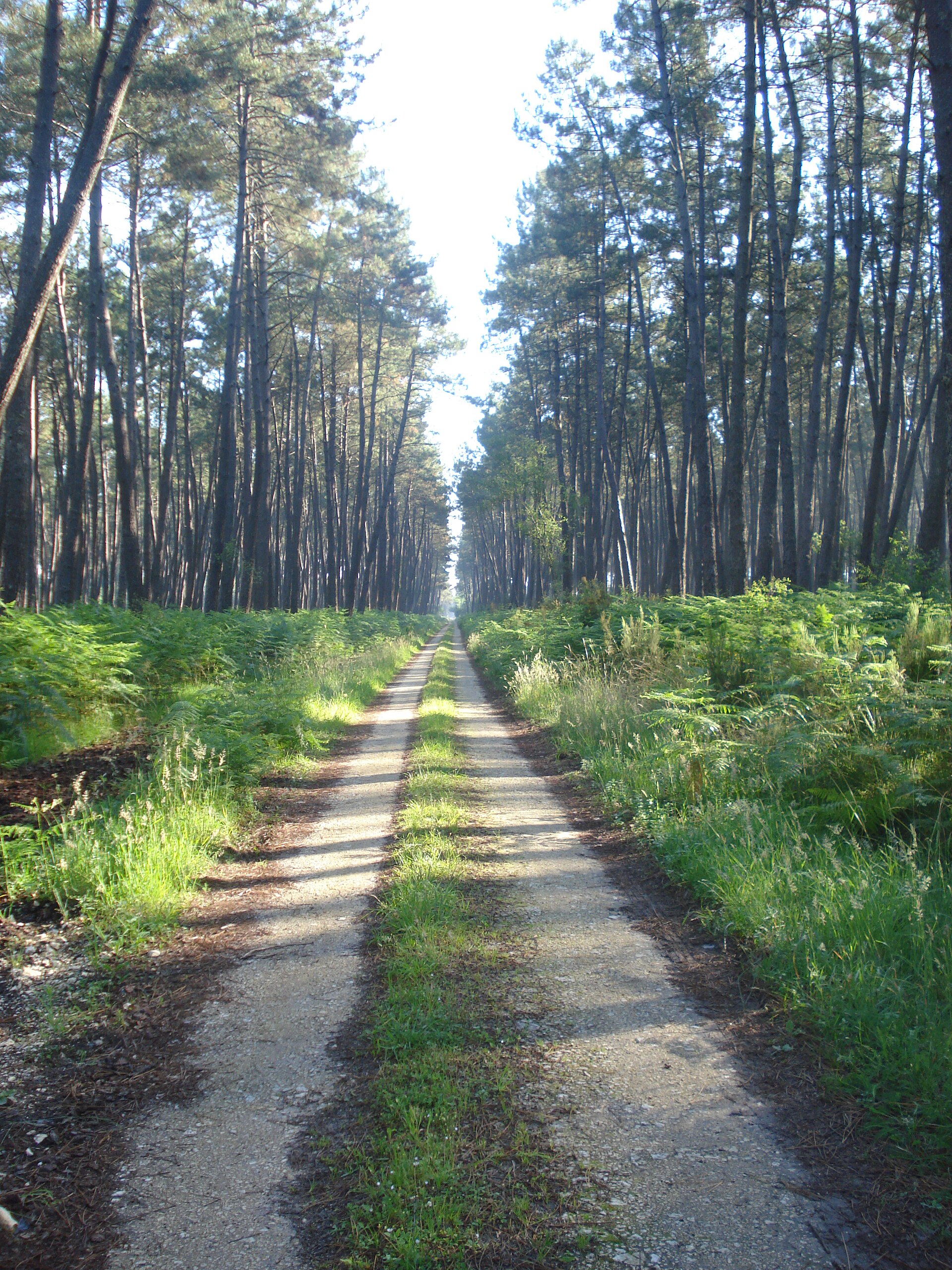
A terrestrial area, with forests and coasts.
What rocks lie beneath Médoc Regional Natural Park?
According to the BRGM's simplified lithological map, the bedrock consists mainly of sands (93% of sampled points). These are mostly sedimentary rocks.
What is the highest point of Médoc Regional Natural Park?
Grand Mont d'Hourtin, at 61 m (OpenStreetMap).
What are the main summits of Médoc Regional Natural Park?
Grand Mont d'Hourtin (61 m), Dune de Ginestras (57 m), Dune de Lespinglade (51 m), Dune du Nègre (48 m) and Dune du Crohot Nègre (44 m) (OpenStreetMap).
Which international labels apply to Médoc Regional Natural Park?
Natura 2000 network (8 sites).
When is the best time to visit Médoc Regional Natural Park?
Best time to visit: from March to October, with average temperatures of 10 to 22 °C and moderate rainfall.
What is there to see in Médoc Regional Natural Park?
20 viewpoints, 63 lakes and ponds and 1 glacier, including Belvédère du Cousseau, Lagune Dauprat, Caprice Glacier and Plage Nord (OpenStreetMap).
Where can I stay in Médoc Regional Natural Park?
104 campsites, including Camping CHM Montalivet, Camping L'Orée du Bois and Camping La dune bleue (OpenStreetMap).
Are there historic monuments in Médoc Regional Natural Park?
Yes. According to the French Ministry of Culture's Mérimée database, 44 historic monuments stand within the boundary, 15 of them with the highest level of protection (classé). For example: “Phare de Cordouan” in Le Verdon-sur-Mer, “Église Notre-Dame” in Macau and “Château” in Margaux.
Can you swim in Médoc Regional Natural Park?
26 monitored bathing sites lie in or within 1 km of the site; official 2025 classification: 26 excellent (European Environment Agency). Swimming is only permitted at the sites and times authorised locally.
What is the nearest large city to Médoc Regional Natural Park?
Nearest towns of over 50,000 people, as the crow flies: Bordeaux Métropole (12 km) and La Rochelle (62 km). Nearest airport: Bordeaux–Mérignac (BOD), about 11 km away.
How can I reach Médoc Regional Natural Park by train?
Lesparre railway station lies within the site.
Where can I get visitor information on site?
Office de Tourisme Communautaire Médoc Océan, Office de tourisme de Vendays-Montalivet and Office de Tourisme du Verdon-sur-Mer.
Are there waymarked hiking trails in Médoc Regional Natural Park?
Yes. Waymarked hiking routes listed in OpenStreetMap: 14, including Via Sancti Martini, Longarisse, Soulac-sur-Mer and Étape. The “SLR Soulac-sur-Mer - Longarisse” route runs for about 89 km through the site, with some 220 m of ascent on its longest section.
Which species can be seen in Médoc Regional Natural Park?
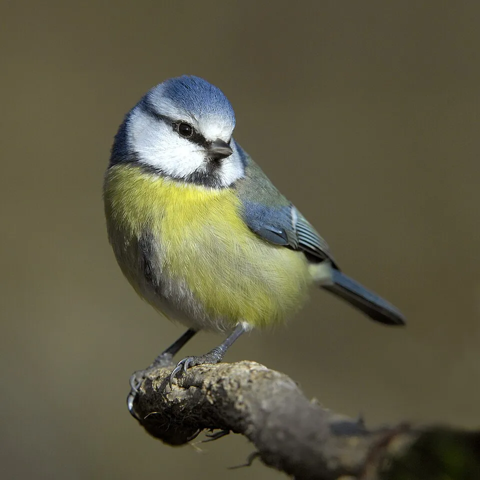
Among the species most often recorded on GBIF are Parus major (Great tit), Fringilla coelebs (Eurasian Chaffinch), Turdus merula (Common Blackbird) and Cyanistes caeruleus (Eurasian blue tit).
What is the official website of Médoc Regional Natural Park?
© OpenStreetMap
Download the boundary: GeoJSON · GPX Boundary © OpenStreetMap contributors (ODbL).
Geography
The representative point of the site lies at around 29 m above sea level. Over the 1996–2025 period, the mean annual temperature is about 14.0 °C and total precipitation reaches roughly 772 mm per year. The warmest month is usually August, the coolest January, and the wettest November. According to the BRGM's simplified lithological map, the bedrock consists mainly of sands (93% of sampled points). These are mostly sedimentary rocks. The site contains 6 lakes larger than 10 ha, totalling 76.2 km² of water; the largest, lac d'Hourtin et de Carcans, covers 57.7 km² (HydroLAKES). lac d'Hourtin et de Carcans (5,667 ha) is 10 m deep (Wikidata).
Area
- Area of the boundary
- 238,880 ha
- Elevation
- 29 m
- Lakes over 10 ha
- 6 (76.2 km²)
- Coordinates
- 45.2051, -0.887
Lakes: HydroLAKES (Messager et al. 2016, hydrosheds.org, CC BY 4.0) · depths: Wikidata (CC0)
Bedrock
- Sands 93 %
- Clays 7 %
Sedimentary rocks 100 %
Source: BRGM, simplified lithological map at 1:1,000,000 (Licence Ouverte), 15 points sampled within the boundary.
Main summits
- Grand Mont d'Hourtin61 m
- Dune de Ginestras57 m
- Dune de Lespinglade51 m
- Dune du Nègre48 m
- Dune du Crohot Nègre44 m
- Dunes de Labiau40 m
- Dune des Abits39 m
- Dune du Petit Crohot Nègre38 m
- Ancien Sémaphore38 m
- Dunes de la Barreyre32 m
Data © OpenStreetMap contributors (ODbL)
Climate
● Mean temperature (°C) · ▮ Precipitation (mm)
Source: Copernicus ERA5-Land (C3S, doi:10.24381/cds.68d2bb30), monthly averages 1996–2025 interpolated to the representative point, temperatures adjusted for elevation.
Contains modified Copernicus Climate Change Service information 2026. Neither the European Commission nor ECMWF is responsible for any use that may be made of the Copernicus information or data it contains.
Natural habitats
According to CORINE Land Cover (2018), the site is mainly made up of forests (42%), heath and scrub (22%) and farmland (17%). Woodland is mostly coniferous. The site borders the coast. Elevation ranges from sea level to 61 m (highest point: Grand Mont d'Hourtin). The land is almost flat (mean slope under 2°). The 8 Natura 2000 sites overlapping the area list 33 habitats of European interest (6 priority), the most extensive being wooded dunes of the Atlantic, Continental and Boreal region, fixed coastal dunes with herbaceous vegetation (‘grey dunes’) and shifting dunes along the shoreline with Ammophila arenaria (‘white dunes’).
Biodiversity
Based on occurrences aggregated by GBIF, several species are regularly recorded within the site. Among the most frequent are Parus major (Great tit), Fringilla coelebs (Eurasian Chaffinch), Turdus merula (Common Blackbird) and Cyanistes caeruleus (Eurasian blue tit). The full list of documented taxa is shown below. The overlapping Natura 2000 sites list 150 species of European interest: 111 birds, 8 mammals, 2 reptiles, 6 amphibians, 6 fish, 9 invertebrates and 8 plants.
Habitats of European interest
From the official forms of the 8 Natura 2000 sites overlapping the area (areas reported for each whole site).
- Wooded dunes of the Atlantic, Continental and Boreal region 6,442 ha
- Fixed coastal dunes with herbaceous vegetation (‘grey dunes’) priority 1,212 ha
- Shifting dunes along the shoreline with Ammophila arenaria (‘white dunes’) 736 ha
- Calcareous fens with Cladium mariscus and species of the Caricion davallianae priority 704 ha
- Temperate Atlantic wet heaths with Erica ciliaris and Erica tetralix priority 671 ha
- Riparian mixed forests of Quercus robur, Ulmus laevis and Ulmus minor, Fraxinus excelsior or Fraxinus angustifolia, along the great rivers (Ulmenion minoris) 607 ha
- Annual vegetation of drift lines 550 ha
- Old acidophilous oak woods with Quercus robur on sandy plains 359 ha
and 25 more
Species of European interest
Birds · 111
Aquatic warbler (Acrocephalus paludicola) passage, Common Sandpiper (Actitis hypoleucos) passage wintering, Common Kingfisher (Alcedo atthis) wintering passage breeding resident, Northern Pintail (Anas acuta) wintering passage, Eurasian Teal (Anas crecca) wintering breeding passage, Mallard (Anas platyrhynchos) breeding wintering passage, Greylag Goose (Anser anser) passage wintering, Tawny Pipit (Anthus campestris) passage breeding, Great Egret (Ardea alba) breeding wintering passage, Grey Heron (Ardea cinerea) breeding passage wintering, Purple Heron (Ardea purpurea) passage breeding, Squacco Heron (Ardeola ralloides) passage and 99 more
Mammals · 8
Barbastelle (Barbastella barbastellus), Common genet (Genetta genetta), Eurasian otter (Lutra lutra), European Mink (Mustela lutreola), Bechstein's bat (Myotis bechsteinii), Greater mouse-eared bat (Myotis myotis), Greater Horseshoe Bat (Rhinolophus ferrumequinum), Lesser horseshoe bat (Rhinolophus hipposideros)
Reptiles · 2
European Pond Turtle (Emys orbicularis), Common wall lizard (Podarcis muralis)
Amphibians · 6
Natterjack (Bufo calamita), Stripeless tree frog (Hyla meridionalis), Western Spadefoot (Pelobates cultripes), Agile frog (Rana dalmatina), Edible frog (Rana esculenta), Marbled newt (Triturus marmoratus)
Fish · 6
Allis shad (Alosa alosa), European bullhead (Cottus gobio), Common Bullhead (Cottus perifretum), European river lamprey (Lampetra fluviatilis), European brook lamprey (Lampetra planeri), Sea lamprey (Petromyzon marinus)
Invertebrates · 9
Greater Capricorn Beetle (Cerambyx cerdo), Southern damselfly (Coenagrion mercuriale), False ringlet (Coenonympha oedippus), Marsh fritillary (Euphydryas aurinia), Jersey Tiger (Euplagia quadripunctaria), Water beetle (Graphoderus bilineatus), Stag beetle (Lucanus cervus), Large copper (Lycaena dispar), Orange-spotted Emerald (Oxygastra curtisii)
Plants · 8
Angelica heterocarpa, Caropsis verticillato-inundata, Gascoyne Quillwort (Isoetes boryana), Floating water-plantain (Luronium natans), Petticoat daffodil (Narcissus bulbocodium), Shore dock (Rumex rupestris), Butcher's-broom (Ruscus aculeatus), Summer lady's-tresses (Spiranthes aestivalis)
Source: Natura 2000 standard data forms (EEA, CC-BY 4.0). Not exhaustive: sensitive species are not published.
Species to look out for


Observed species
Occurrences documented via GBIF; they are neither an exhaustive inventory nor proof of current presence.
- Great tit · Parus major · 4834
- Eurasian Chaffinch · Fringilla coelebs · 3915
- Common Blackbird · Turdus merula · 3879
- Eurasian blue tit · Cyanistes caeruleus · 3310
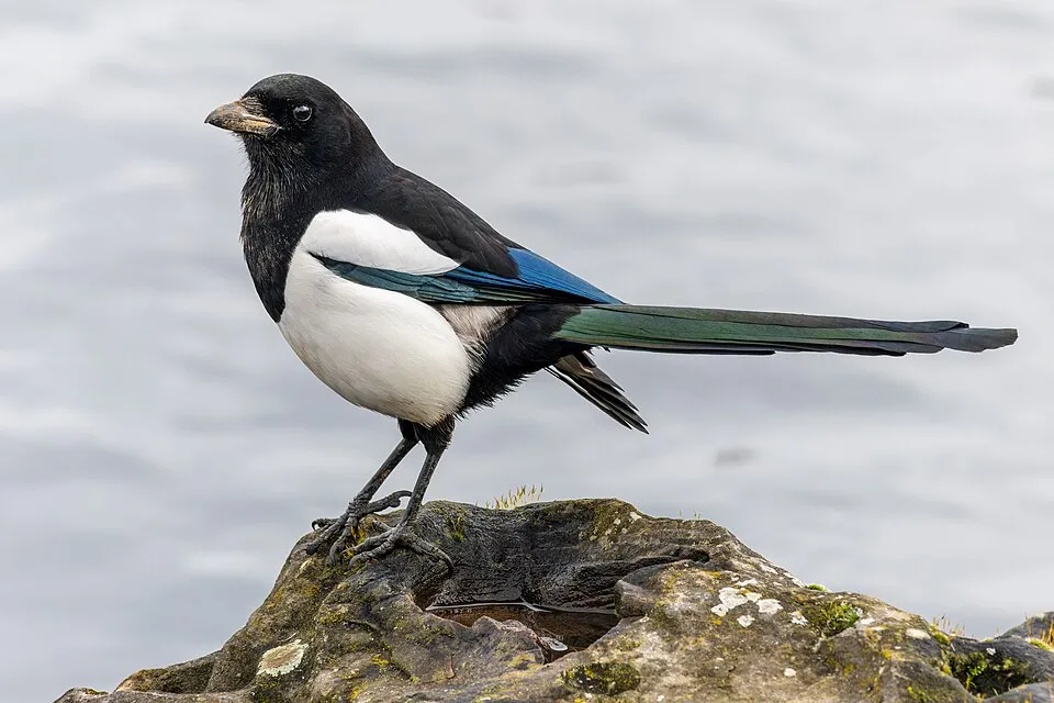
- Eurasian Magpie · Pica pica · 2976
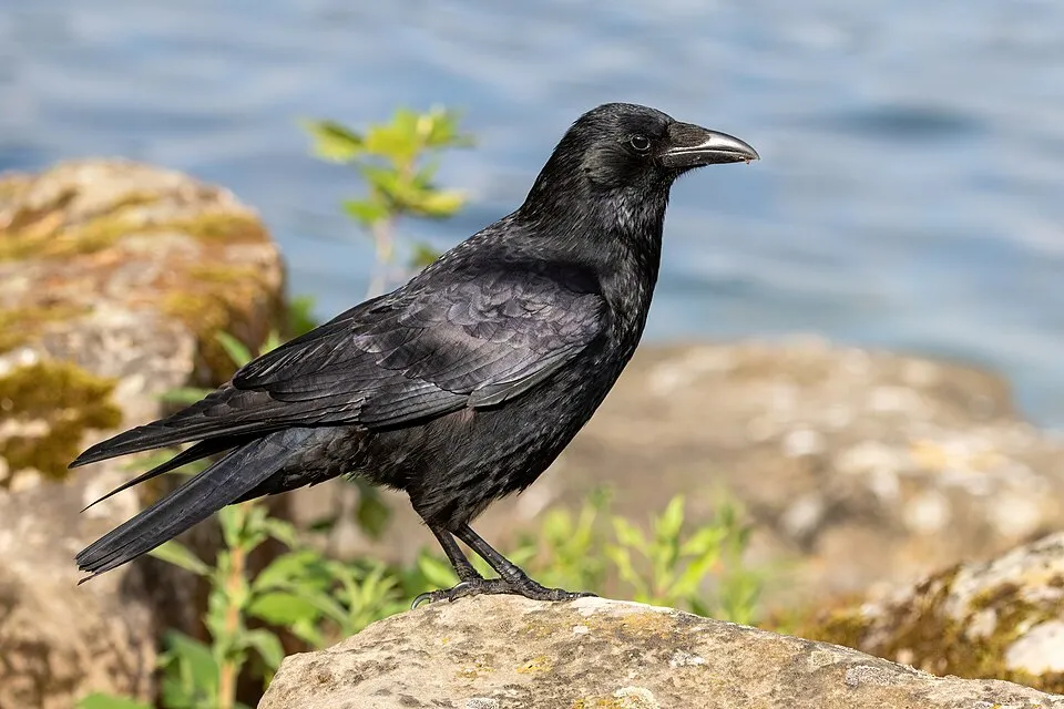
- Carrion crow · Corvus corone · 2930
- Eurasian Collared Dove · Streptopelia decaocto · 2782
- European robin · Erithacus rubecula · 2760
- Grey Heron · Ardea cinerea · 2682
- Purple moor-grass · Molinia caerulea · 2534
- Little Egret · Egretta garzetta · 2472
- Common pipistrelle · Pipistrellus pipistrellus · 2406
+18 more species
- Mallard · Anas platyrhynchos · 2405
- Northern Lapwing · Vanellus vanellus · 2340
- Small Heath · Coenonympha pamphilus · 2294
- Great Egret · Ardea alba · 2275
- Maritime pine · Pinus pinaster · 2267
- House Sparrow · Passer domesticus · 2250
- Coypu · Myocastor coypus · 2093
- Common reed · Phragmites australis · 2082
- Common Wood Pigeon · Columba palumbus · 2078
- Green heather · Erica scoparia · 2059
- Eurasian Spoonbill · Platalea leucorodia · 2034
- Western Marsh Harrier · Circus aeruginosus · 2020
- Lesser Black-backed Gull · Larus fuscus · 1997
- Common Chiffchaff · Phylloscopus collybita · 1984
- Black Kite · Milvus migrans · 1933
- Gorse · Ulex europaeus · 1820
- Common Starling · Sturnus vulgaris · 1807
- Great Cormorant · Phalacrocorax carbo · 1796
Records: GBIF.org (CC-BY). Names: Wikidata (CC0), GBIF. Photos: Wikimedia Commons.
Conservation challenges
The primary purpose of the site is to preserve its natural habitats and the biodiversity they support. The species recorded (Biodiversity tab) reflect its ecological value. The designations it holds frame its management and the control of land use.
According to Global Forest Change data (University of Maryland, Global Forest Watch), about 29,900 ha of tree cover were lost within the boundary between 2001 and 2023 (13% of its area), peaking in 2010 and 2019. These losses include logging, storms and fires, and do not account for regrowth. According to the European CORINE Land Cover inventory (Copernicus), land cover changed on about 2,500 ha of the site between 1990 and 2018 (1% of its area): built-up land grew by 1,817 ha, mostly at the expense of forest, while forest shrank by 1,813 ha, mostly giving way to built-up land. Forest felling and regrowth add about 115,960 ha in total over the period. Since 2016, the European EFFIS system (Copernicus) has mapped 14 fires here, burning about 25,722 ha within the boundary; the largest, in July 2026 (near Porge), covered 21,063 ha. At night, 13% of the area gives off artificial light detectable from space (NASA VIIRS Black Marble composite, 2016). Built-up and developed land (buildings, business areas, roads, quarries) covers 5% of the area, and farmland 17% (CORINE Land Cover). According to the Natura 2000 forms, of 32 assessed habitats of European interest, 1 is in excellent condition and 5 in average or reduced condition. According to the Water Framework Directive assessment (2022 river basin management plans, data 2012–2017), only 24% of the 232 km of rivers assessed within the site are in good or high ecological status; the others mostly have moderate ecological status. Other assessed water bodies: lakes, 2 of 2 in good ecological status or better; lagoons and estuaries, 0 of 3 in good ecological status or better; coastal waters, 1 of 1 in good ecological status or better. Since 2000, 105 invasive alien species have been recorded within the site (GBIF observations), 27 of them listed as of Union concern under EU Regulation 1143/2014. Among them: Procambarus clarkii (Red swamp crayfish), Lepomis gibbosus (Pumpkinseed) and Lagarosiphon major (Oxygen-weed).
Pressure indicators
Tree cover lost
29,902 ha
2001–2023
20012023
Fires since 2016
25,722 ha
burned within the boundary (14 mapped fires)
- 2026 · Porge · 21,063 ha
- 2022 · Sainte-Hélène · 3,202 ha
- 2017 · Saint-Germain-d'Esteuil · 863 ha
Light at night
13%
of the area gives off artificial light visible from space
DarkLit
Built-up land
5%
buildings, business areas, roads, quarries · farmland 17%
Land cover change
2,500 ha
changed cover, 1990–2018 · CORINE · 1% of the area
- +1,817 ha · built-up land
- −1,813 ha · forest
forest felling and regrowth: 115,960 ha in total
Rivers and lakes
24%
of the 232 km of assessed rivers in good or high ecological status · WFD 2022
Lakes: 2 of 2 good or better
Lagoons and estuaries: 0 of 3 good or better
Coastal waters: 1 of 1 good or better
assessments 2012–2017
Invasive alien species
105
incl. 27 of EU concern · since 2000
 Red swamp crayfishEU
 PumpkinseedEU
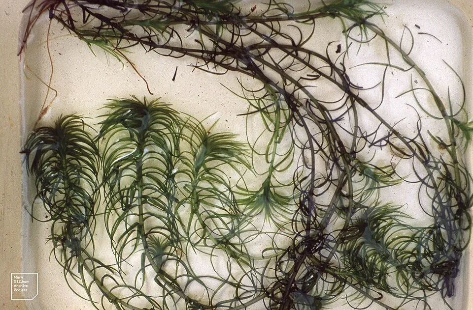 Oxygen-weedEU
 Eastern baccharisEU
 CoypuEU
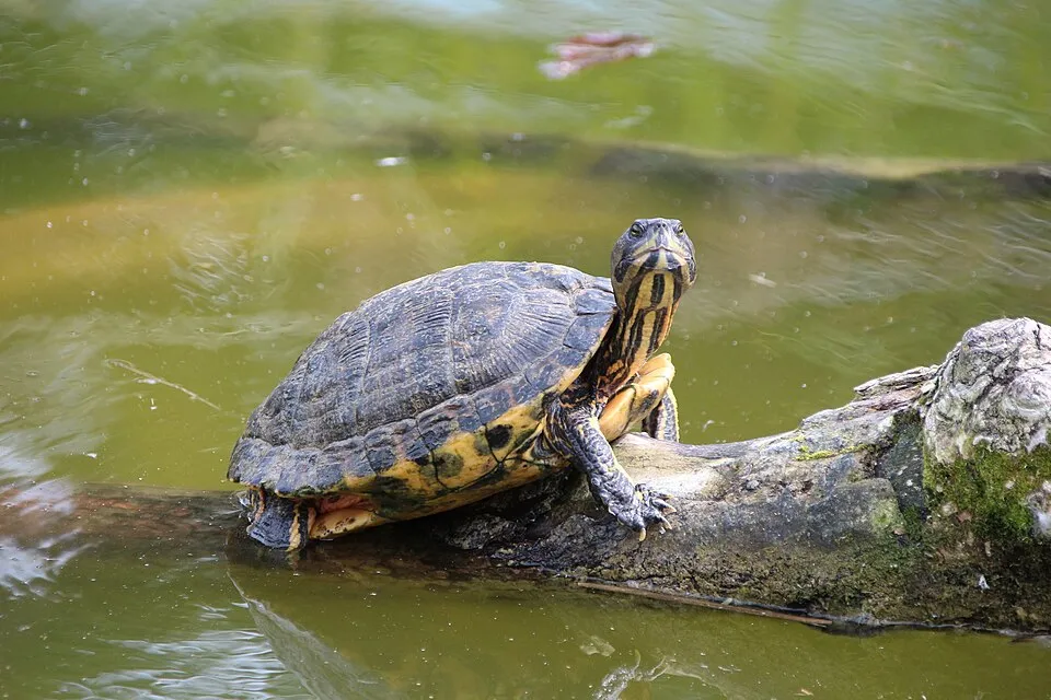 Pond sliderEU
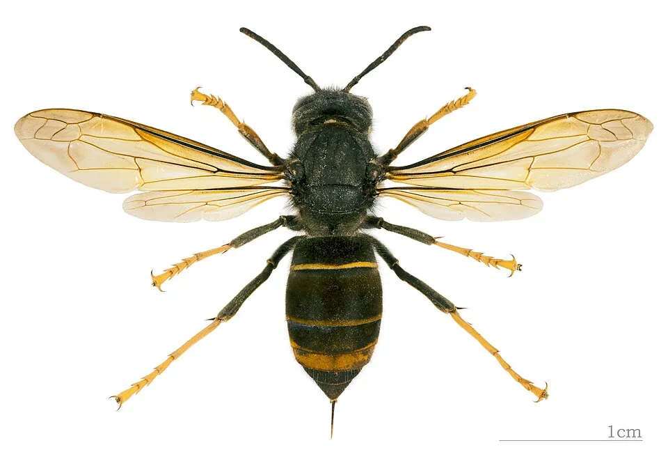 Asian hornetEU
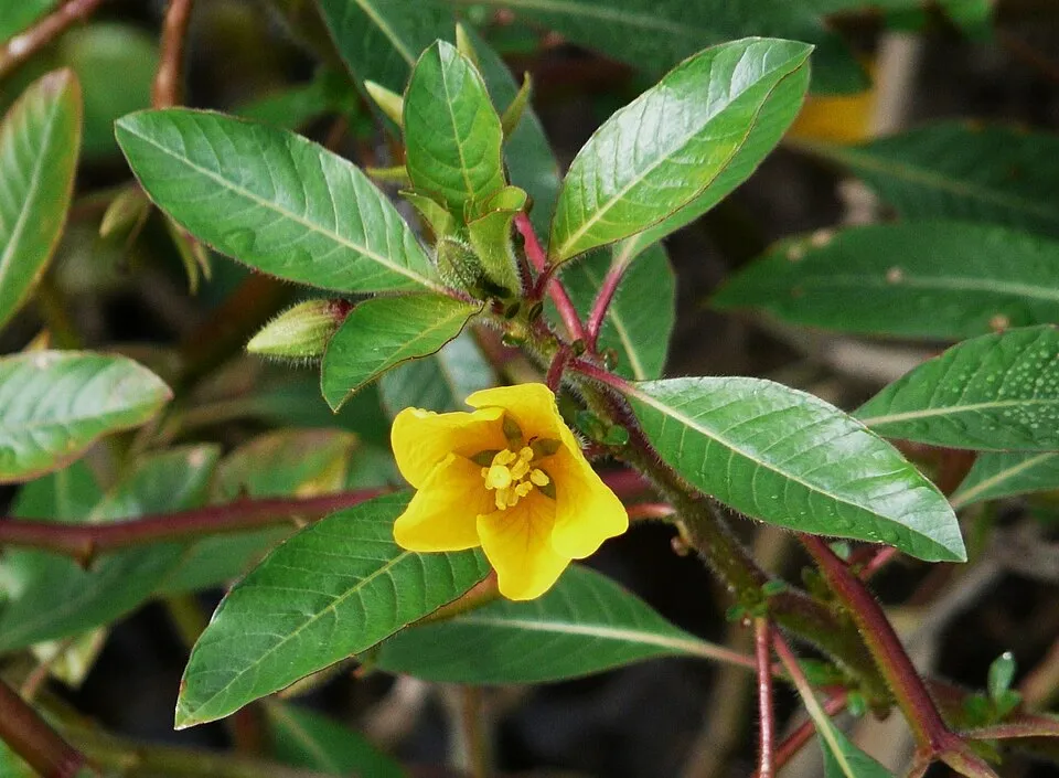 Floating primrose-willowEU
Photos: Red swamp crayfish © MikeMurphy · Public domain; Pumpkinseed © Cephas · CC BY-SA 3.0; Oxygen-weed © Dr Mary Gillham Archive Project · CC BY 2.0; Eastern baccharis © Jean-Jacques MILAN · CC BY-SA 3.0; Coypu © Philippe Amelant · CC BY-SA 3.0; Pond slider © Viva.Chelonia · CC BY 2.0; Asian hornet © Didier Descouens · CC BY-SA 4.0; Floating primrose-willow © Père Igor · CC BY-SA 3.0
Sources: Global Forest Change (Hansen et al., University of Maryland, via Global Forest Watch, CC-BY 4.0); EFFIS, European Commission / Copernicus; NASA Black Marble 2016 (public domain); CORINE Land Cover 2018 (Copernicus) or MODIS.
CORINE Land Cover Change 1990–2018: generated using European Union's Copernicus Land Monitoring Service information (EEA), aggregated by Parkavela; DOI 10.2909/f30f1000-7cf8-43bb-872c-5eb093911b24.
Ecological status of water bodies: European Environment Agency, WISE – Water Framework Directive, 3rd river basin management plans (2022), CC BY 4.0. Official national classification, not comparable between countries.
Invasive alien species: Global Register of Introduced and Invasive Species (ISSG, CC BY 4.0); Union list, Regulation (EU) 1143/2014 (INBO, CC0); GBIF.org records (CC0 / CC BY 4.0), at least 2 per species.
Practical information
Cities and airport
- Bordeaux Métropole
12 km as the crow flies - La Rochelle
62 km as the crow flies - Airport: Bordeaux–Mérignac (BOD)
11 km as the crow flies
Visitor information
- Office de Tourisme Communautaire Médoc Océan
within the site - Office de tourisme de Vendays-Montalivet
within the site - Office de Tourisme du Verdon-sur-Mer
within the site - Médoc Plein Sud
within the site
Things to see
20 viewpoints · 63 lakes and ponds · 1 glacier
- Belvédère du Cousseau
viewpoint - Lagune Dauprat
lake or pond - Caprice Glacier
glacier - Plage Nord
viewpoint - Lagune Janin
lake or pond
Where to stay
104 campsites
- Camping CHM Montalivet
campsite - Camping L'Orée du Bois
campsite - Camping La dune bleue
campsite - Camping Laouba
campsite - Camping Le Bonheur est dans le pré
campsite
Hiking
14 waymarked routes listed, including:
Via Sancti MartiniLongarisseSoulac-sur-MerÉtape
By bike
EV1 · 108 km V41 Saint-Jacques à Vélo · 32 kmV3301 Le Tour de Gironde à Vélo · 136 kmVoie Verte Hourtin - Arès · 57 kmV753 Voie Verte Bordeaux - Lacanau Océan · 40 km
EV1: route still largely undeveloped
+ 3 local loops
Signed cycle routes: this does not mean that cycling is allowed on footpaths.
Wheelchair access
- Office de tourisme de Vendays-Montalivet
visitor information
Reported by OpenStreetMap contributors (ODbL); check with the park before visiting.
Data © OpenStreetMap contributors (ODbL) · Wikidata (CC0)
Contains information from EuroVelo GPX tracks downloaded from www.EuroVelo.com on 2026-10-22, which is made available here under the Open Database License (ODbL). EuroVelo® is a registered trademark of the ECF. Routes © OpenStreetMap contributors (ODbL), via Waymarked Trails
Waymarked hiking routes
Tracks © OpenStreetMap contributors (ODbL), clipped to the boundary; elevation gain and profiles computed on the longest section from Mapzen Terrain Tiles (≈ 30 m), indicative only.
Bathing
26 monitored bathing sites in or within 1 km of the site · 2025 classification
Excellent · 26
- A.C.M · sea · Excellent
- Bombannes · lake · Excellent
- Carcans Ocean · sea · Excellent
- Centre · sea · Excellent
- Centre Helio Marin · sea · Excellent
- Euronat · sea · Excellent
- Hourtin Ocean · sea · Excellent
- L'Amelie · sea · Excellent
- La Chambrette · estuary or lagoon · Excellent
- La Grande Escoure · lake · Excellent
and 16 more
Source: European Environment Agency, official bathing water classification (Directive 2006/7/EC, CC-BY 4.0). Swimming is only permitted at the sites and times authorised locally.
Access and visiting
Lesparre railway station lies within the site. Nearest towns of over 50,000 people, as the crow flies: Bordeaux Métropole (12 km) and La Rochelle (62 km). Nearest airport: Bordeaux–Mérignac (BOD), about 11 km away. About 1.1 million people live within 20 km of the site boundary, 420,000 of them within 10 km; some 110,000 people are estimated to live inside (GHSL estimate, 2020). This population has grown by about 18% since 2000. Visitor information on site: Office de Tourisme Communautaire Médoc Océan, Office de tourisme de Vendays-Montalivet and Office de Tourisme du Verdon-sur-Mer. Waymarked hiking routes listed in OpenStreetMap: 14, including Via Sancti Martini, Longarisse, Soulac-sur-Mer and Étape. The EuroVelo 1 cycle route (Atlantic Coast Route) crosses the site for about 108 km, on a route still largely undeveloped; 4 other signed cycle routes also pass through, including “V41 Saint-Jacques à Vélo” and “V3301 Le Tour de Gironde à Vélo” (EuroVelo, OpenStreetMap). OpenStreetMap contributors list one wheelchair-accessible place: Office de tourisme de Vendays-Montalivet; check with the park before visiting. To see: 20 viewpoints, 63 lakes and ponds and 1 glacier, including Belvédère du Cousseau, Lagune Dauprat, Caprice Glacier and Plage Nord. Where to stay: 104 campsites, including Camping CHM Montalivet, Camping L'Orée du Bois and Camping La dune bleue. To plan a visit (access, opening periods, visitor rules), it is best to consult the official information from the managing body and the official website listed in this page's sources.
Source: OpenStreetMap (ODbL), Wikidata (CC0), October 2026.
Built heritage
According to the French Ministry of Culture's Mérimée database, 44 historic monuments stand within the boundary, 15 of them with the highest level of protection (classé). Among them are 20 religious buildings, 17 castles and fortifications and 3 bridges, lighthouses, mills and working buildings. Notable classé monuments include “Phare de Cordouan” in Le Verdon-sur-Mer, “Église Notre-Dame” in Macau and “Château” in Margaux.
20 religious buildings17 castles and fortifications3 bridges, lighthouses, mills and working buildings3 houses and civic buildings1 prehistoric or archaeological site
-
Phare de Cordouan
Classé
Le Verdon-sur-Mer · 17th c., 19th c. -
Église Notre-Dame
Classé
Macau · 12th c. -
Château
Classé
Margaux · 19th c. -
Église Notre-Dame de Benon
Classé
Saint-Laurent-Médoc · 12th c., 13th c. -
Ancien château féodal
Classé
Lesparre-Médoc -
Église Notre-Dame de la Fin-des-Terres
Classé
Soulac-sur-Mer · Middle Ages, 14th c. -
Église Saint-Didier
Classé
Cantenac · 18th c. -
Église Saint-Etienne ou Saint-Estèphe
Classé
Saint-Estèphe · 18th c.
and 36 more
Source: Mérimée database, French Ministry of Culture (Licence Ouverte 2.0). Each record links to the Plateforme ouverte du patrimoine (POP).
When to visit
Best time to visit: from March to October, with average temperatures of 10 to 22 °C and moderate rainfall. Day length ranges from about 8 h 45 min in December to 15 h 37 min in June. Wildlife records published on GBIF peak for plants (from May to July), butterflies and moths (June and July) and dragonflies (June and July). These peaks also reflect when observers are most active.
Source: Copernicus ERA5-Land (C3S), monthly averages 1996–2025 at the representative point, temperatures adjusted for elevation.
Contains modified Copernicus Climate Change Service information 2026. Neither the European Commission nor ECMWF is responsible for any use that may be made of the Copernicus information or data it contains.
Wildlife records calendar
JFMAMJJASOND
Birds
Plants
Butterflies & moths
Dragonflies
Mammals
Monthly records published on GBIF (CC-BY), relative to the busiest month; also reflects observer activity.
Gallery
© Larrousiney · CC BY-SA 3.0
© Erdrokan · CC BY-SA 3.0
© PA · CC BY-SA 3.0
© Yann Gwilhoù · CC BY-SA 4.0
© Erdrokan · CC BY-SA 3.0
© Lfontanie · CC BY-SA 4.0
Sources and licences
- Wikidata: Q64174288
- OpenStreetMap: relation 9635775
- Official website: https://www.pnr-medoc.fr/
- Wikipedia: fr.wikipedia.org/wiki/Parc_naturel_régional_Médoc
References
- cds.climate.copernicus.eu: climate · CC-BY-4.0
- registry.opendata.aws: elevation of the reference point, detailed relief · PD
- land.copernicus.eu: land cover, land cover change, sea share · COPERNICUS
- doi.org: population around the site · CC-BY-4.0
- openstreetmap.org: official name, access and peaks, places to see, wheelchair access · ODbL-1.0
- eea.europa.eu: bathing water quality, ecological status of waters · CC-BY-4.0
- en.eurovelo.com: EuroVelo cycle routes · ODbL-1.0
- cycling.waymarkedtrails.org: cycle routes · ODbL-1.0
- opentopodata.org: elevations · PD
- wikidata.org: establishment date, nearby cities and airport, access and peaks, lake depths, places to see, official website · CC0-1.0
- forest-fire.emergency.copernicus.eu: wildfires · COPERNICUS
- globalforestwatch.org: tree cover loss · CC-BY-4.0
- gbif.org: seasonality of sightings, invasive alien species, observed species · CC-BY-4.0
- infoterre.brgm.fr: geology · LO-2.0
- pop.culture.gouv.fr: protected heritage · LO-2.0
- hydrosheds.org: lakes · CC-BY-4.0
- natura2000.eea.europa.eu: Natura 2000 habitats and species · CC-BY-4.0
- earthobservatory.nasa.gov: night light · PD
- hiking.waymarkedtrails.org: route difficulty · ODbL-1.0
- nsidc.org: snow cover · PD
- wikidata.org: Wikipedia article · CC-BY-SA-4.0
Data © OpenStreetMap contributors (ODbL), Wikidata (CC0) and the sources cited.