France · Marine
Gironde Estuary and Pertuis Sea Marine Natural Park
Marine protected area of 650,000 hectares in France, established in 2015.
Overview
Marine protected area of 650,000 hectares in France, established in 2015.
Gironde Estuary and Pertuis Sea Marine Natural Park is a marine protected area in France (Europe). It is a predominantly marine area. Established on 15 April 2015, it covers about 650,000 hectares.
Protections and designations
Ramsar site
Natura 2000 · habitats (SAC) · 16 sites
- Dunes et forêts littorales de l'ile d'Oléron FR5400433
- Estuaire de la Gironde FR7200677
- Ile de Ré : dunes et forêts littorales FR5400425
- Ile de Ré : Fier d'Ars FR5400424
- Marais de Brouage (et marais nord d'Oléron) FR5400431
- Marais de la Seudre FR5400432
- and 10 more
Natura 2000 · birds (SPA) · 12 sites
- Anse de Fouras, baie d'Yves, marais de Rochefort FR5410013
- Bonne Anse, marais de Bréjat et de Saint Augustin FR5412012
- Estuaire de la Gironde : marais de la rive nord FR5412011
- Estuaire de la Gironde : marais du Blayais FR7212014
- Estuaire et basse vallée de la Charente FR5412025
- Fier d'Ars et fosse de Loix FR5410012
- and 6 more
Designated as a marine protected area. International labels and designations: Ramsar site (“marais du Fier d'Ars”) and Natura 2000 network (28 sites). Key dates: first Natura 2000 site under the Birds Directive in 2002, Ramsar Site in 2003, first Natura 2000 site under the Habitats Directive in 2004 and established in 2015.
In our collections
Timeline
-
2002
First Natura 2000 site under the Birds Directive 12 such sites designated up to 2008
-
2003
Ramsar Site (wetland of international importance) marais du Fier d'Ars
-
2004
First Natura 2000 site under the Habitats Directive 16 such sites designated up to 2014
-
2015
Established
Sources: Wikidata (CC0) for establishment and international labels; EEA Natura 2000 database (CC-BY 4.0) for site designation dates.
Frequently asked questions
Where is Gironde Estuary and Pertuis Sea Marine Natural Park?
In France (Europe). Representative point: 45.7211° N, 1.3372° W.
How large is Gironde Estuary and Pertuis Sea Marine Natural Park?
About 650,000 hectares (6,500 km²). It is the 4th largest of the 8 marine protected areas in France covered by Parkavela.
When was Gironde Estuary and Pertuis Sea Marine Natural Park established?
On 15 April 2015.
What habitats and landscapes does Gironde Estuary and Pertuis Sea Marine Natural Park include?
A marine area, with coasts.
Which international labels apply to Gironde Estuary and Pertuis Sea Marine Natural Park?
Ramsar site (“marais du Fier d'Ars”) and Natura 2000 network (28 sites).
When is the best time to visit Gironde Estuary and Pertuis Sea Marine Natural Park?
Best time to visit: from April to October, with average temperatures of 12 to 22 °C and moderate rainfall.
What is there to see in Gironde Estuary and Pertuis Sea Marine Natural Park?
66 viewpoints, 6 lakes and ponds, 5 caves and 3 bird hides, including Baie de Royan, Chenal avant port, Grotte de la Pointe des Vallières and Conche de Royan (OpenStreetMap).
Where can I stay in Gironde Estuary and Pertuis Sea Marine Natural Park?
24 campsites, including Aire CAMPING-CAR PARK de L'Eguille-sur-Seudre, Aire Camping-car Park Île Madame and Aire Larmarque (OpenStreetMap).
Are there historic monuments in Gironde Estuary and Pertuis Sea Marine Natural Park?
Yes. According to the French Ministry of Culture's Mérimée database, 39 historic monuments stand within the boundary, 15 of them with the highest level of protection (classé). For example: “Dolmen d'Ors dit la Piare” in Le Château-d'Oléron, “Fort Liédot” in Ile-d'Aix and “Palais des Congrès” in Royan.
Can you swim in Gironde Estuary and Pertuis Sea Marine Natural Park?
118 monitored bathing sites lie in or within 1 km of the site; official 2025 classification: 104 excellent, 10 good, 3 sufficient and 1 poor (European Environment Agency). Swimming is only permitted at the sites and times authorised locally.
What is the nearest large city to Gironde Estuary and Pertuis Sea Marine Natural Park?
Nearest towns of over 50,000 people, as the crow flies: La Rochelle (0.3 km) and Bordeaux Métropole (19 km). Nearest airport: La Rochelle – Île de Ré (LRH), about 2 km away.
How can I reach Gironde Estuary and Pertuis Sea Marine Natural Park by train?
The nearest railway station is Tonnay-Charente, less than 1 km from the site boundary.
Where can I get visitor information on site?
Royan Point Info Tourisme, Office de Tourisme de La Cotinière and Office de Tourisme de Ronces-les-Bains.
Which species can be seen in Gironde Estuary and Pertuis Sea Marine Natural Park?
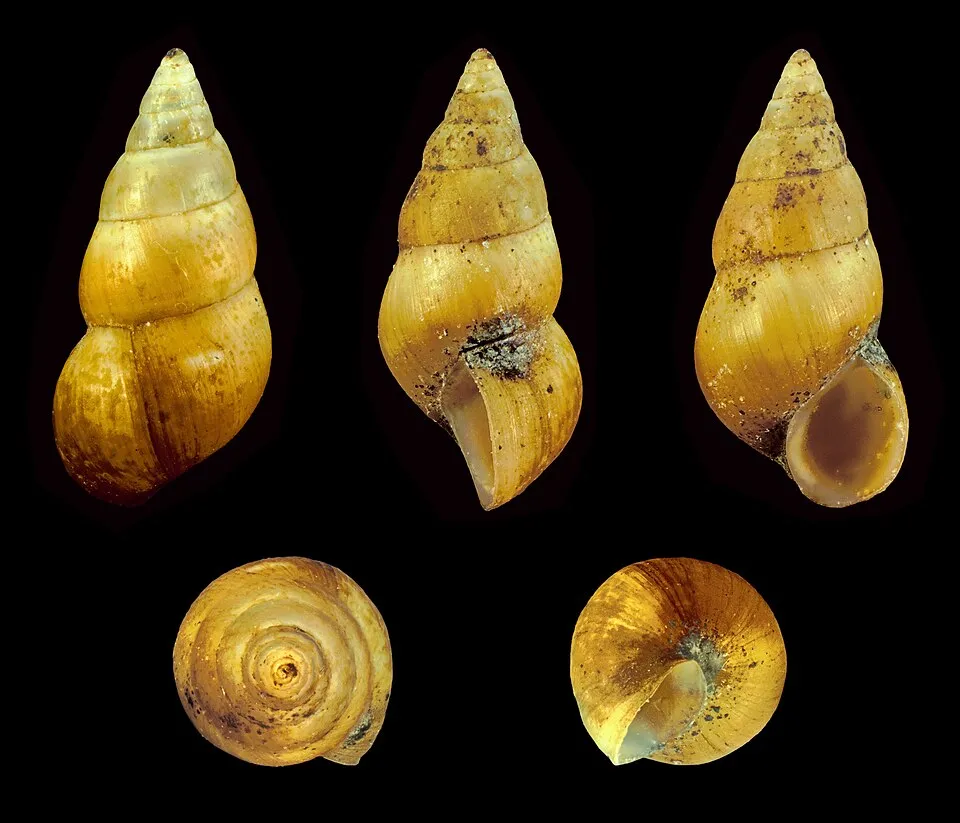
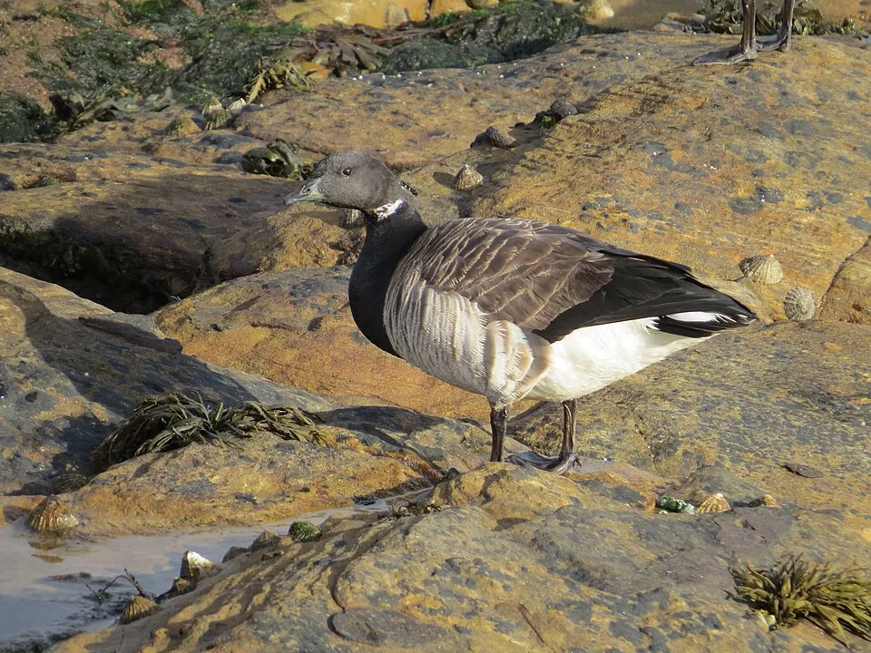
Among the species most often recorded on GBIF are Peringia ulvae (Laver spire shell), Larus fuscus (Lesser Black-backed Gull), Tadorna tadorna (Common Shelduck) and Branta bernicla (Brant Goose).
What is the official website of Gironde Estuary and Pertuis Sea Marine Natural Park?
© OpenStreetMap
Download the boundary: GeoJSON · GPX Boundary © OpenStreetMap contributors (ODbL).
Geography
Over the 1996–2025 period, the mean annual temperature is about 13.9 °C and total precipitation reaches roughly 766 mm per year. The warmest month is usually August, the coolest January, and the wettest November.
Area
- Area
- 650,000 ha
- Coordinates
- 45.7211, -1.3372
Climate
● Mean temperature (°C) · ▮ Precipitation (mm)
Source: Copernicus ERA5-Land (C3S, doi:10.24381/cds.68d2bb30), monthly averages 1996–2025 interpolated to the representative point, temperatures adjusted for elevation.
Contains modified Copernicus Climate Change Service information 2026. Neither the European Commission nor ECMWF is responsible for any use that may be made of the Copernicus information or data it contains.
Natural habitats
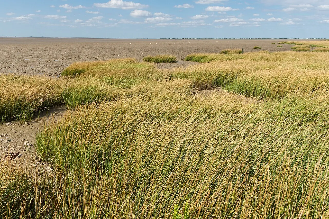
The site is almost entirely marine. The seabed reaches about 54 m deep (median depth 22 m; GEBCO bathymetry). The 28 Natura 2000 sites overlapping the area list 44 habitats of European interest (8 priority), the most extensive being sandbanks which are slightly covered by sea water all the time, estuaries and reefs.
Biodiversity
Based on occurrences aggregated by GBIF, several species are regularly recorded within the site. Among the most frequent are Peringia ulvae (Laver spire shell), Larus fuscus (Lesser Black-backed Gull), Tadorna tadorna (Common Shelduck) and Branta bernicla (Brant Goose). The full list of documented taxa is shown below. The overlapping Natura 2000 sites list 243 species of European interest: 157 birds, 36 mammals, 9 reptiles, 11 amphibians, 11 fish, 13 invertebrates and 6 plants.
Habitats of European interest
From the official forms of the 28 Natura 2000 sites overlapping the area (areas reported for each whole site).
- Sandbanks which are slightly covered by sea water all the time 109,925 ha
- Estuaries 71,509 ha
- Reefs 66,014 ha
- Large shallow inlets and bays 63,289 ha
- Mediterranean salt meadows (Juncetalia maritimi) 26,887 ha
- Mudflats and sandflats not covered by seawater at low tide 15,693 ha
- Wooded dunes of the Atlantic, Continental and Boreal region 13,261 ha
- Annual vegetation of drift lines 11,369 ha
and 36 more
Species of European interest
Birds · 157
Aquatic warbler (Acrocephalus paludicola) passage, Eurasian Reed Warbler (Acrocephalus scirpaceus) breeding passage wintering, Common Sandpiper (Actitis hypoleucos) wintering passage breeding, Razorbill (Alca torda) passage wintering, Common Kingfisher (Alcedo atthis) passage breeding wintering resident, Northern Pintail (Anas acuta) wintering passage, Eurasian Teal (Anas crecca) passage wintering breeding, Mallard (Anas platyrhynchos) breeding passage wintering, Greater white-fronted goose (Anser albifrons) wintering passage, Greylag Goose (Anser anser) wintering passage breeding, Pink-footed goose (Anser brachyrhynchus) wintering, Taiga bean goose (Anser fabalis) wintering and 145 more
Mammals · 36
Barbastelle (Barbastella barbastellus), Short-beaked Common Dolphin (Delphinus delphis), Serotine bat (Eptesicus serotinus), Common genet (Genetta genetta), Long-finned pilot whale (Globicephala melas), Grey Seal (Halichoerus grypus), Eurasian otter (Lutra lutra), European pine marten (Martes martes), Common bent-wing bat (Miniopterus schreibersii), Hazel dormouse (Muscardinus avellanarius), European Mink (Mustela lutreola), Western Polecat (Mustela putorius) and 24 more
Reptiles · 9
Loggerhead sea turtle (Caretta caretta), Dark green snake (Coluber viridiflavus), Smooth snake (Coronella austriaca), Leatherback sea turtle (Dermochelys coriacea), Aesculapian snake (Elaphe longissima), European Pond Turtle (Emys orbicularis), Western green lizard (Lacerta bilineata), Green lizard (Lacerta viridis), Common wall lizard (Podarcis muralis)
Amphibians · 11
Midwife toad (Alytes obstetricans), Natterjack (Bufo calamita), Common tree frog (Hyla arborea), Stripeless tree frog (Hyla meridionalis), Western Spadefoot (Pelobates cultripes), Perez's Frog (Pelophylax perezi), Agile frog (Rana dalmatina), Iberian green frog (Rana perezi), Common frog (Rana temporaria), Great crested newt (Triturus cristatus), Marbled newt (Triturus marmoratus)
Fish · 11
European sea sturgeon (Acipenser sturio), Allis shad (Alosa alosa), Twait shad (Alosa fallax), Spined loach (Cobitis taenia), European bullhead (Cottus gobio), Common Bullhead (Cottus perifretum), European river lamprey (Lampetra fluviatilis), European brook lamprey (Lampetra planeri), Sea lamprey (Petromyzon marinus), European bitterling (Rhodeus amarus), Atlantic salmon (Salmo salar)
Invertebrates · 13
Greater Capricorn Beetle (Cerambyx cerdo), Southern damselfly (Coenagrion mercuriale), Marsh fritillary (Euphydryas aurinia), Jersey Tiger (Euplagia quadripunctaria), Pronged clubtail (Gomphus graslinii), Stag beetle (Lucanus cervus), Large copper (Lycaena dispar), Large Blue (Maculinea arion), Scarce large blue (Maculinea teleius), Hermit beetle (Osmoderma eremita), Orange-spotted Emerald (Oxygastra curtisii), Rosalia longicorn (Rosalia alpina) and 1 more
Plants · 6
Angelica heterocarpa, Fen orchid (Liparis loeselii), Water Shamrock (Marsilea quadrifolia), Omphalodes littoralis, Shore dock (Rumex rupestris), Summer Lady's-tresses (Spiranthes aestivalis (poir.) rich)
Source: Natura 2000 standard data forms (EEA, CC-BY 4.0). Not exhaustive: sensitive species are not published.
Species to look out for



Observed species
Occurrences documented via GBIF; they are neither an exhaustive inventory nor proof of current presence.
- Laver spire shell · Peringia ulvae · 47723
- Lesser Black-backed Gull · Larus fuscus · 18869
- Common Shelduck · Tadorna tadorna · 18636
- Brant Goose · Branta bernicla · 16671
- Mallard · Anas platyrhynchos · 14740
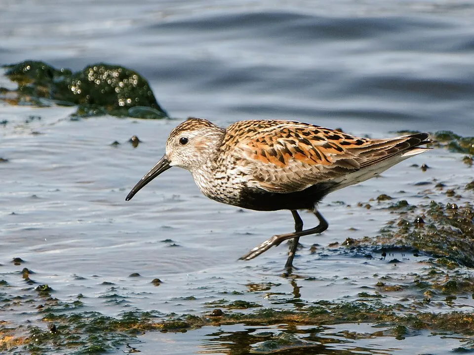
- Dunlin · Calidris alpina · 13696
- Ruddy Turnstone · Arenaria interpres · 13624
- Common Redshank · Tringa totanus · 13449
- Peppery furrow shell · Scrobicularia plana · 10880
- Little Egret · Egretta garzetta · 10541
- Grey Plover · Pluvialis squatarola · 10207
- Flat European abra · Abra tenuis · 9866
+18 more species
- Black-headed Gull · Chroicocephalus ridibundus · 9733
- Common Ringed Plover · Charadrius hiaticula · 9289
- Great Cormorant · Phalacrocorax carbo · 8601
- Eurasian Curlew · Numenius arquata · 7956
- European Herring Gull · Larus argentatus · 7742
- Paralia sulcata · 7561
- Common Blackbird · Turdus merula · 7406
- Nitzschia longissima · 7256
- Common Wood Pigeon · Columba palumbus · 7205
- Sanderling · Calidris alba · 7046
- Pied Avocet · Recurvirostra avosetta · 6993
- European robin · Erithacus rubecula · 6492
- Baltic Tellin · Macoma balthica · 6350
- Rhizosolenia delicatula · 6307
- Eurasian Chaffinch · Fringilla coelebs · 6257
- Grey Heron · Ardea cinerea · 6200
- Eurasian blue tit · Cyanistes caeruleus · 6192
- Common cockle · Cerastoderma edule · 6107
Records: GBIF.org (CC-BY). Names: Wikidata (CC0), GBIF. Photos: Wikimedia Commons.
Conservation challenges
The primary purpose of the site is to preserve its natural habitats and the biodiversity they support. The species recorded (Biodiversity tab) reflect its ecological value. The designations it holds frame its management and the control of land use.
According to the European CORINE Land Cover inventory (Copernicus), land cover changed on about 555 ha of the site between 1990 and 2018 (3% of its area): built-up land grew by 190 ha, while wetlands shrank by 154 ha, mostly giving way to open water. Forest felling and regrowth add about 4,910 ha in total over the period. According to the Natura 2000 forms, of 42 assessed habitats of European interest, 10 are in excellent condition and 7 in average or reduced condition. According to the Water Framework Directive assessment (2022 river basin management plans, data 2012–2017), water bodies assessed within the site: lagoons and estuaries, 2 of 8 in good ecological status or better; coastal waters, 8 of 8 in good ecological status or better. Since 2000, 105 invasive alien species have been recorded within the site (GBIF observations), 26 of them listed as of Union concern under EU Regulation 1143/2014. Among them: Threskiornis aethiopicus (African Sacred Ibis), Baccharis halimifolia (Eastern baccharis) and Ailanthus altissima (Tree-of-heaven).
Pressure indicators
Built-up land
< 1%
buildings, business areas, roads, quarries
Land cover change
555 ha
changed cover, 1990–2018 · CORINE · 3% of the area
- +190 ha · built-up land
- −154 ha · wetlands
forest felling and regrowth: 4,910 ha in total
Rivers and lakes
Lagoons and estuaries: 2 of 8 good or better
Coastal waters: 8 of 8 good or better
assessments 2012–2017
Invasive alien species
105
incl. 26 of EU concern · since 2000
 African Sacred IbisEU
 Eastern baccharisEU
 Tree-of-heavenEU
 CoypuEU
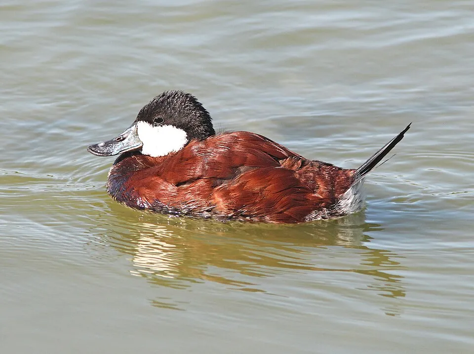 Ruddy DuckEU
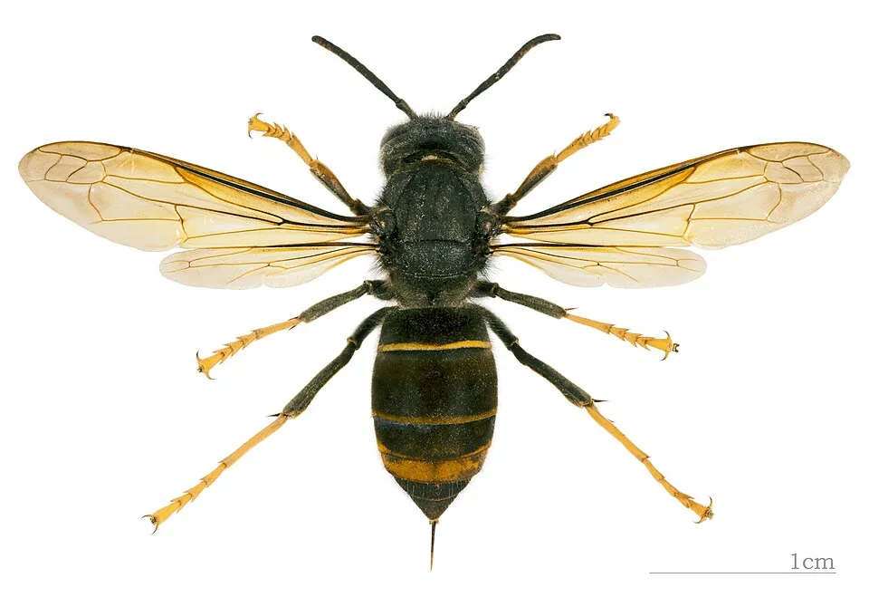 Asian hornetEU
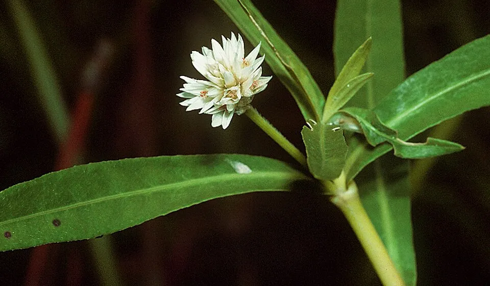 Alligator weedEU
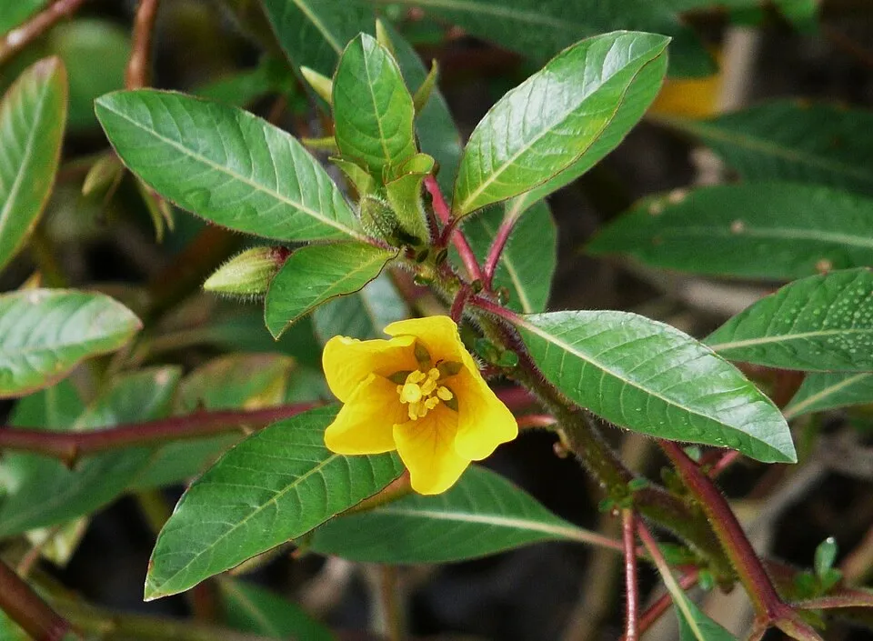 Floating primrose-willowEU
Photos: African Sacred Ibis © Steve Garvie from Dunfermline, Fife, Scotland · CC BY-SA 2.0; Eastern baccharis © Jean-Jacques MILAN · CC BY-SA 3.0; Tree-of-heaven © Darkone · CC BY-SA 2.5; Coypu © Philippe Amelant · CC BY-SA 3.0; Ruddy Duck © ALAN SCHMIERER · CC0-1.0; Asian hornet © Didier Descouens · CC BY-SA 4.0; Alligator weed © National Plant Data Center, Baton Rouge, LA 70874-4490 USA. · Public domain; Floating primrose-willow © Père Igor · CC BY-SA 3.0
Sources: Global Forest Change (Hansen et al., University of Maryland, via Global Forest Watch, CC-BY 4.0); EFFIS, European Commission / Copernicus; NASA Black Marble 2016 (public domain); CORINE Land Cover 2018 (Copernicus) or MODIS.
CORINE Land Cover Change 1990–2018: generated using European Union's Copernicus Land Monitoring Service information (EEA), aggregated by Parkavela; DOI 10.2909/f30f1000-7cf8-43bb-872c-5eb093911b24.
Ecological status of water bodies: European Environment Agency, WISE – Water Framework Directive, 3rd river basin management plans (2022), CC BY 4.0. Official national classification, not comparable between countries.
Invasive alien species: Global Register of Introduced and Invasive Species (ISSG, CC BY 4.0); Union list, Regulation (EU) 1143/2014 (INBO, CC0); GBIF.org records (CC0 / CC BY 4.0), at least 2 per species.
Practical information
Cities and airport
- La Rochelle
< 1 km as the crow flies - Bordeaux Métropole
19 km as the crow flies - Airport: La Rochelle – Île de Ré (LRH)
2 km as the crow flies
Visitor information
- Royan Point Info Tourisme
within the site - Office de Tourisme de La Cotinière
within the site - Office de Tourisme de Ronces-les-Bains
< 1 km from the site boundary - Office de Tourisme de Saint-Denis d'Oléron
< 1 km from the site boundary
Things to see
66 viewpoints · 6 lakes and ponds · 5 caves · 3 bird hides
- Baie de Royan
viewpoint - Chenal avant port
lake or pond - Grotte de la Pointe des Vallières
cave - Conche de Royan
viewpoint - Grand plan d'eau
lake or pond
Where to stay
24 campsites
- Aire CAMPING-CAR PARK de L'Eguille-sur-Seudre
campsite - Aire Camping-car Park Île Madame
campsite - Aire Larmarque
campsite - Aire Port de Mortagne-sur-Gironde
campsite - Aire municipale Miramar
campsite
Wheelchair access
- Office de Tourisme de La Cotinière
visitor information - Plage de la Patache
viewpoint
Reported by OpenStreetMap contributors (ODbL); check with the park before visiting.
Data © OpenStreetMap contributors (ODbL) · Wikidata (CC0)
Bathing
118 monitored bathing sites in or within 1 km of the site · 2025 classification
Excellent · 104
Good · 10
Sufficient · 3
Poor · 1
- Boisvinet · sea · Excellent
- Clemenceau · sea · Excellent
- Corps de Garde · sea · Excellent
- Flandres Dunkerque · sea · Excellent
- Grande Retenue - Plage Ouest · estuary or lagoon · Excellent
- L'Amelie · sea · Excellent
- L'Oasis · sea · Excellent
- La Barrique · sea · Excellent
- La Chambrette · estuary or lagoon · Excellent
- La Grand Plage · sea · Excellent
and 108 more
Source: European Environment Agency, official bathing water classification (Directive 2006/7/EC, CC-BY 4.0). Swimming is only permitted at the sites and times authorised locally.
Access and visiting
The nearest railway station is Tonnay-Charente, less than 1 km from the site boundary. Nearest towns of over 50,000 people, as the crow flies: La Rochelle (0.3 km) and Bordeaux Métropole (19 km). Nearest airport: La Rochelle – Île de Ré (LRH), about 2 km away. About 1.3 million people live within 20 km of the site boundary, 580,000 of them within 10 km (GHSL estimate, 2020). This population has grown by about 20% since 2000. Visitor information on site: Royan Point Info Tourisme, Office de Tourisme de La Cotinière and Office de Tourisme de Ronces-les-Bains. OpenStreetMap contributors list 2 wheelchair-accessible places: Office de Tourisme de La Cotinière and Plage de la Patache; check with the park before visiting. To see: 66 viewpoints, 6 lakes and ponds, 5 caves and 3 bird hides, including Baie de Royan, Chenal avant port, Grotte de la Pointe des Vallières and Conche de Royan. Where to stay: 24 campsites, including Aire CAMPING-CAR PARK de L'Eguille-sur-Seudre, Aire Camping-car Park Île Madame and Aire Larmarque. To plan a visit (access, opening periods, visitor rules), it is best to consult the official information from the managing body and the official website listed in this page's sources.
Source: OpenStreetMap (ODbL), Wikidata (CC0), October 2026.
Built heritage
According to the French Ministry of Culture's Mérimée database, 39 historic monuments stand within the boundary, 15 of them with the highest level of protection (classé). Among them are 14 castles and fortifications, 14 houses and civic buildings and 5 religious buildings. Notable classé monuments include “Dolmen d'Ors dit la Piare” in Le Château-d'Oléron, “Fort Liédot” in Ile-d'Aix and “Palais des Congrès” in Royan.
14 castles and fortifications14 houses and civic buildings5 religious buildings4 bridges, lighthouses, mills and working buildings1 prehistoric or archaeological site
-
Dolmen d'Ors dit la Piare
Classé
Le Château-d'Oléron · Prehistory -
Fort Liédot
Classé
Ile-d'Aix · 19th c. -
Palais des Congrès
Classé
Royan · 20th c. -
Phare de Cordouan
Classé
Le Verdon-sur-Mer · 17th c., 19th c. -
Église Notre-Dame
Classé
Royan · 20th c. -
Fort Médoc
Classé
Cussac-Fort-Médoc · 17th c. -
Église Sainte-Radegonde
Classé
Talmont-sur-Gironde · 11th c., 12th c., 16th c. -
Fort Paté
Classé
Blaye · 17th c.
and 31 more
Source: Mérimée database, French Ministry of Culture (Licence Ouverte 2.0). Each record links to the Plateforme ouverte du patrimoine (POP).
When to visit
Best time to visit: from April to October, with average temperatures of 12 to 22 °C and moderate rainfall. Day length ranges from about 8 h 42 min in December to 15 h 41 min in June. Wildlife records published on GBIF peak for birds (April and May), plants (May and June), butterflies and moths (June and July), dragonflies (June and July) and mammals (August and September). These peaks also reflect when observers are most active.
Source: Copernicus ERA5-Land (C3S), monthly averages 1996–2025 at the representative point, temperatures adjusted for elevation.
Contains modified Copernicus Climate Change Service information 2026. Neither the European Commission nor ECMWF is responsible for any use that may be made of the Copernicus information or data it contains.
Wildlife records calendar
JFMAMJJASOND
Birds
Plants
Butterflies & moths
Dragonflies
Mammals
Monthly records published on GBIF (CC-BY), relative to the busiest month; also reflects observer activity.
Gallery
© Anthony Baratier · CC BY-SA 4.0
© Symac · CC BY-SA 3.0
© Éduarel · CC BY-SA 4.0
© Éduarel · CC BY-SA 4.0
© Salix · CC BY-SA 3.0
© Salix · CC BY-SA 3.0
Sources and licences
- Wikidata: Q19833246
- OpenStreetMap: relation 9316377
- Official website: http://www.aires-marines.fr/L-Agence/Organisation/Parcs-naturels-marins/Parc-naturel-marin-de-l-estuaire-de-la-Gironde-et-de-la-mer-des-Pertuis
- Wikipedia: en.wikipedia.org/wiki/Gironde_estuary_and_Pertuis_sea_Marine_Nature_Park
- WDPA: 555589788
References
- cds.climate.copernicus.eu: climate · CC-BY-4.0
- registry.opendata.aws: elevation of the reference point · PD
- land.copernicus.eu: land cover, land cover change, sea share · COPERNICUS
- doi.org: population around the site · CC-BY-4.0
- wikidata.org: official area, establishment date, nearby cities and airport, access and peaks, places to see, official website · CC0-1.0
- eea.europa.eu: bathing water quality, ecological status of waters · CC-BY-4.0
- gebco.net: depths · PD
- opentopodata.org: elevations · PD
- gbif.org: seasonality of sightings, invasive alien species, observed species · CC-BY-4.0
- pop.culture.gouv.fr: protected heritage · LO-2.0
- natura2000.eea.europa.eu: Natura 2000 habitats and species · CC-BY-4.0
- openstreetmap.org: official name, access and peaks, places to see, wheelchair access · ODbL-1.0
- wikidata.org: Wikipedia article · CC-BY-SA-4.0
Data © OpenStreetMap contributors (ODbL), Wikidata (CC0) and the sources cited.