
Mammal
Common pipistrelle: where to see it
Pipistrellus pipistrellus
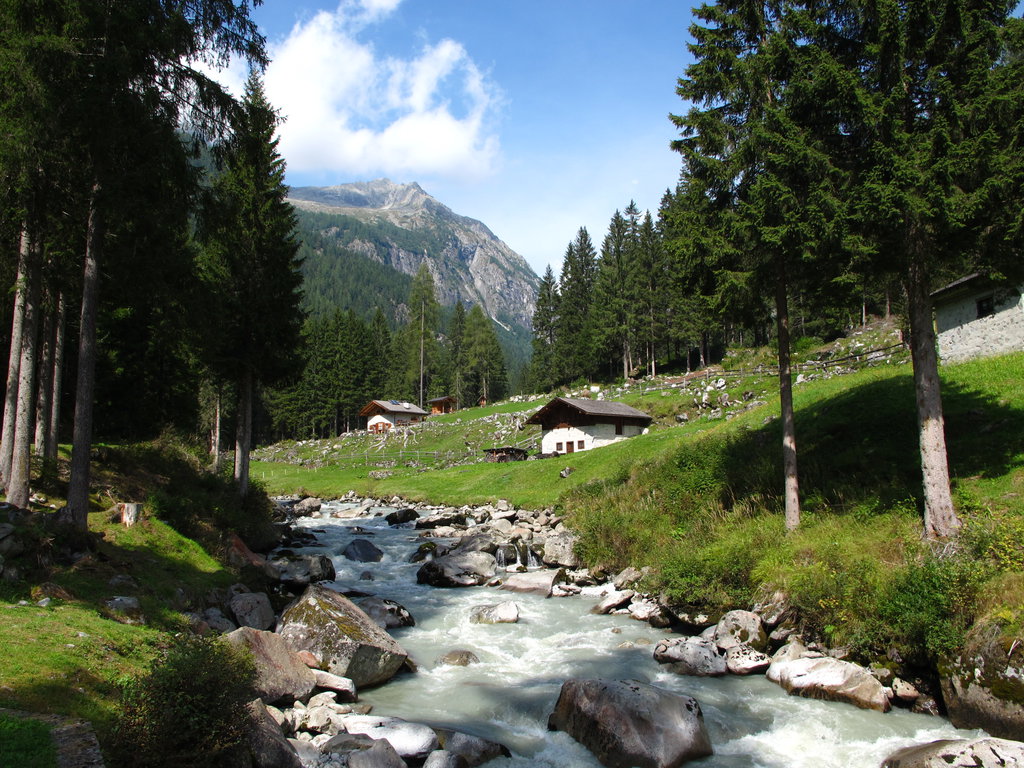
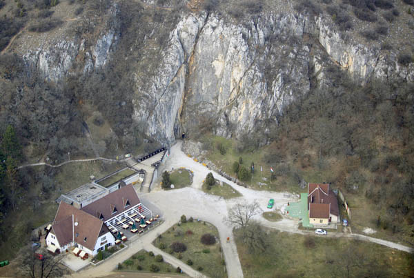
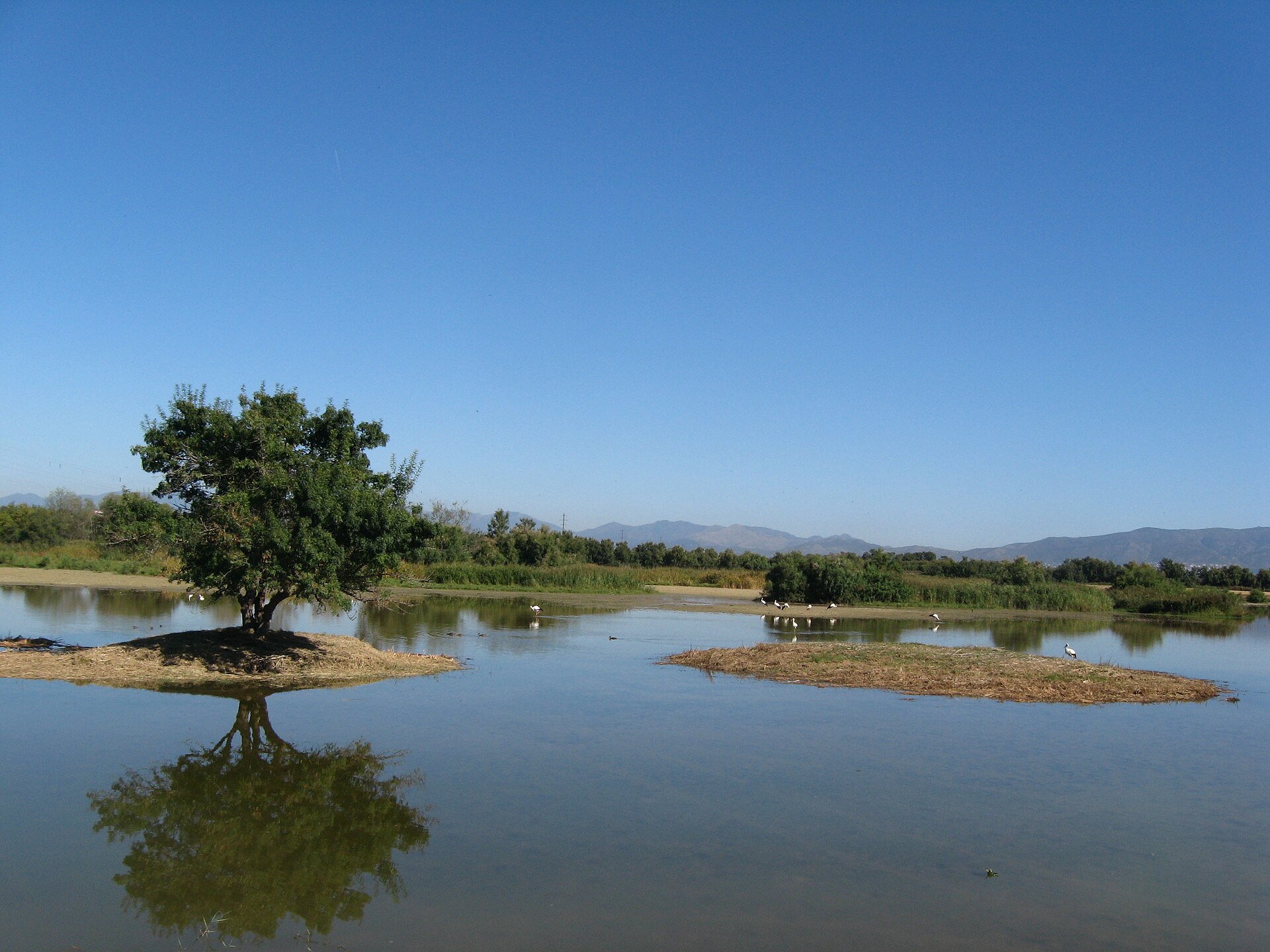
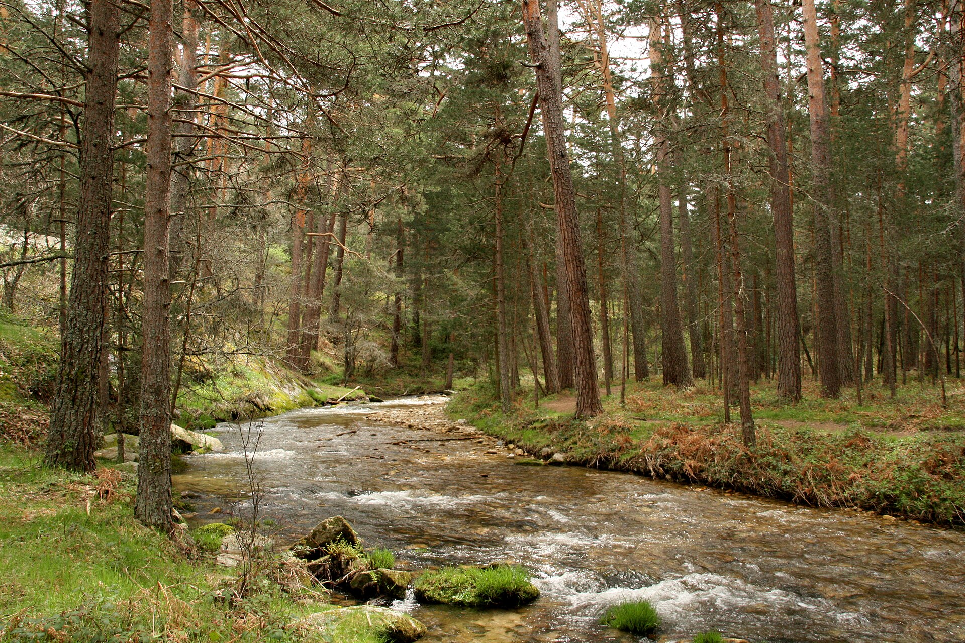
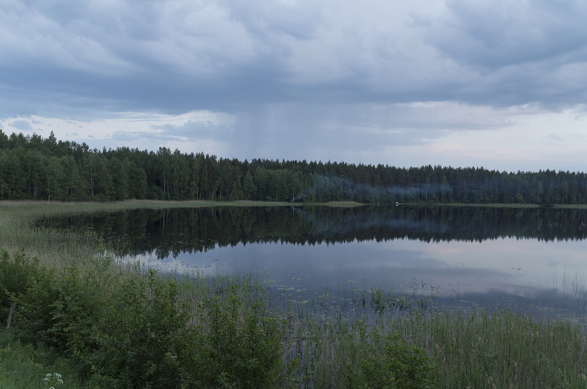
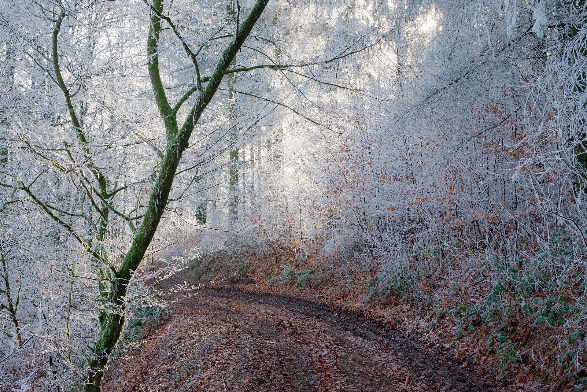
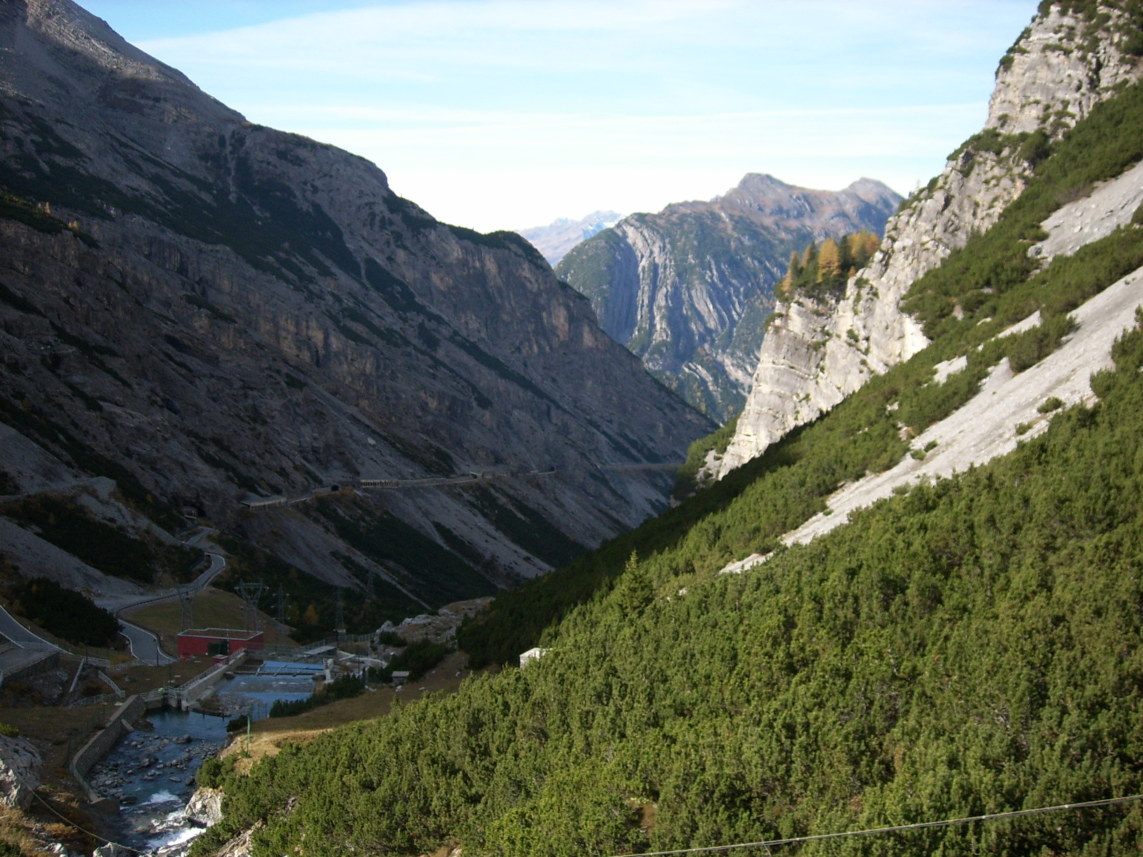
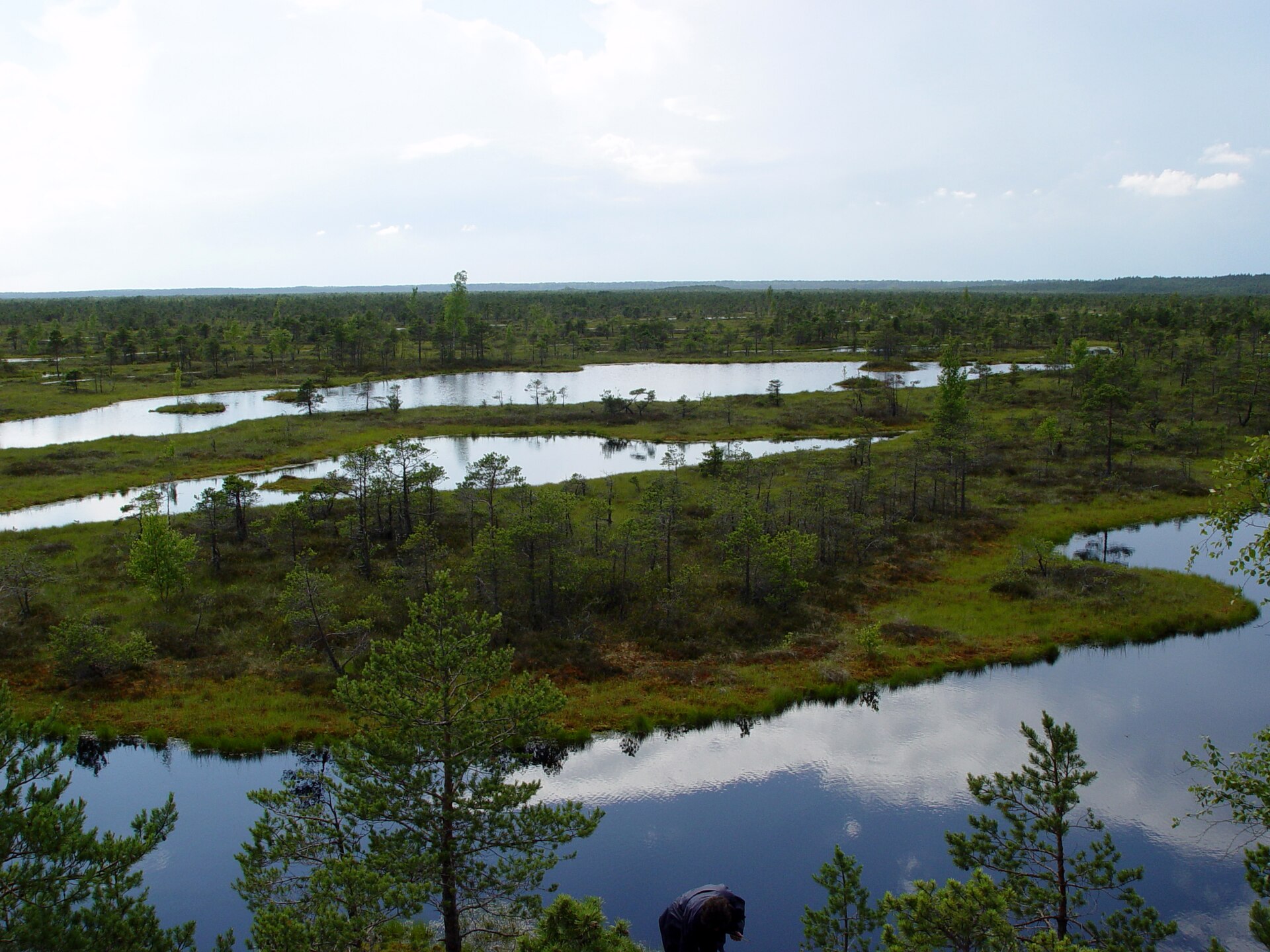
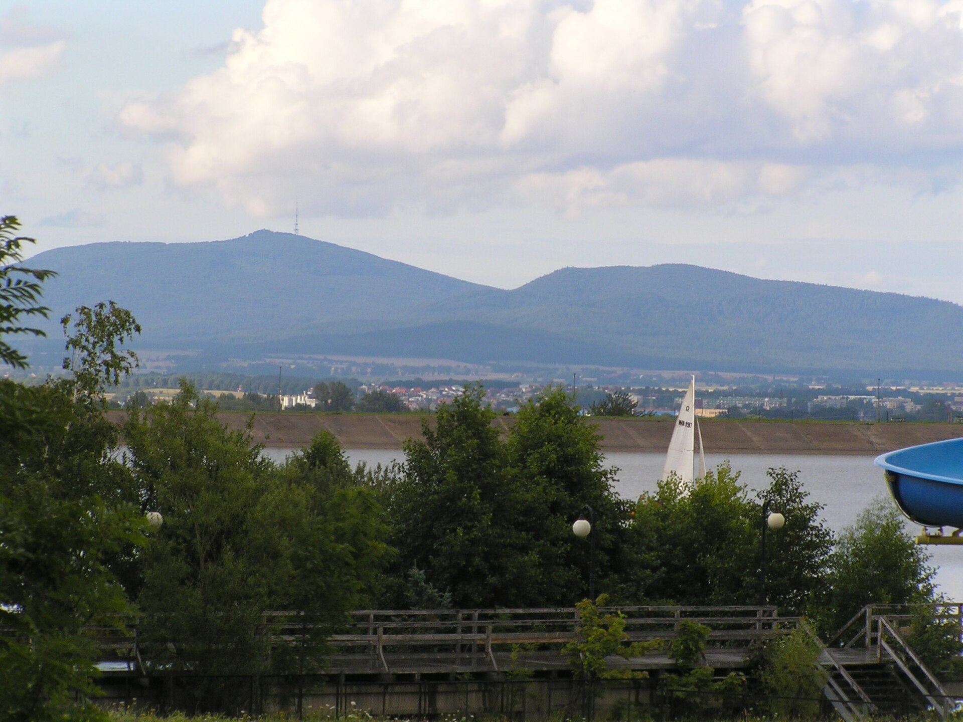
This mammal species is recorded in 246 protected areas of the atlas, including 223 whose official Natura 2000 form lists it. Within the atlas countries, it is mostly observed in France, the United Kingdom and Switzerland (5 countries in all). Most records (8 in 10) lie between sea level and 700 m. Records peak from May to August. It has a wingspan of 22.3 cm. It is a species of Community interest under the Habitats Directive (Annex IV). In the EU its conservation status is assessed as favourable in some biogeographical regions and unfavourable in others (2013–2018 reporting).
Best time to see it: May–August
Records published on GBIF by month (CC0 and CC BY 4.0 licences only), in the atlas countries, all years combined; they also reflect observer activity.
Key facts
- Wingspan
- 22.3 cm Wikidata, after Norberg 1981
Status and protection
Habitats Directive IV
The species is listed in Annex IV of the Habitats Directive.
In the EU its conservation status is assessed as unfavourable-inadequate in the Mediterranean, Continental and Atlantic regions and favourable in the Alpine region (2013–2018 reporting).
Distribution
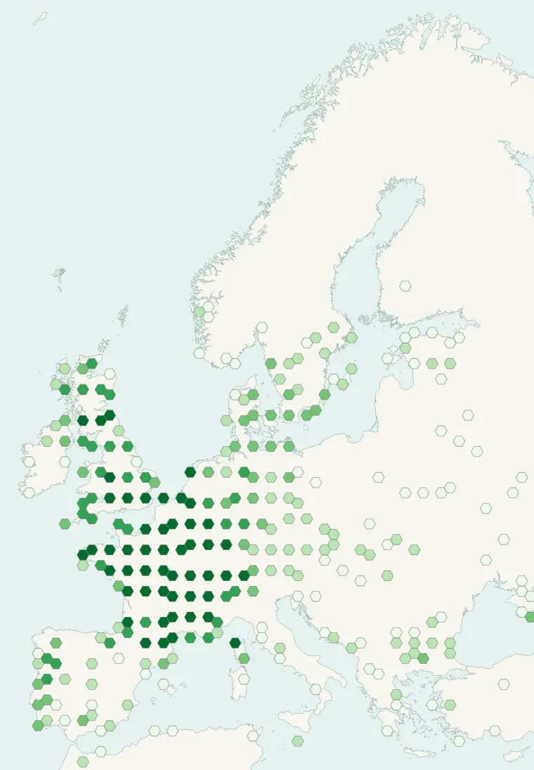
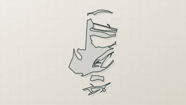
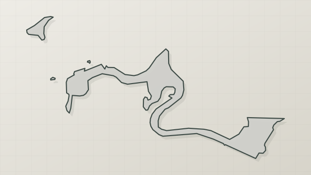
Records published on GBIF (CC0 and CC BY 4.0 licences): the darker the shade, the more records there are; they also reflect observation effort.
Atlas countries where it is recorded
Listen
-
0:58 · © XN URL: Ex :: Natura - Freies Portal zu Naturerlebnis und Umweltbildung (Environmental Education) · CC BY-SA 3.0 · Wikimedia Commons · Original file
-
0:03 · © XN · CC BY-SA 3.0 · Wikimedia Commons · Original file
-
0:11 · © CountPierre · CC BY-SA 3.0 · Wikimedia Commons · Original file
From Wikipedia
The common pipistrelle (Pipistrellus pipistrellus) is a small pipistrelle microbat whose very large range extends across most of Europe, North Africa, and central South Asia, and may extend into Korea. It is one of the most common bat species in the British Isles. In Europe, the northernmost confirmed records are from southern Finland near 60°N. In 1999, the common pipistrelle was split into two species on the basis of different-frequency echolocation calls. The common pipistrelle uses a call of 45 kHz, while the soprano pipistrelle echolocates at 55 kHz.
Source: Wikipedia, article “Common pipistrelle” (version of September 26, 2026) · history and authors · licence CC BY-SA 4.0 · shortened excerpt
Protected areas where it is recorded

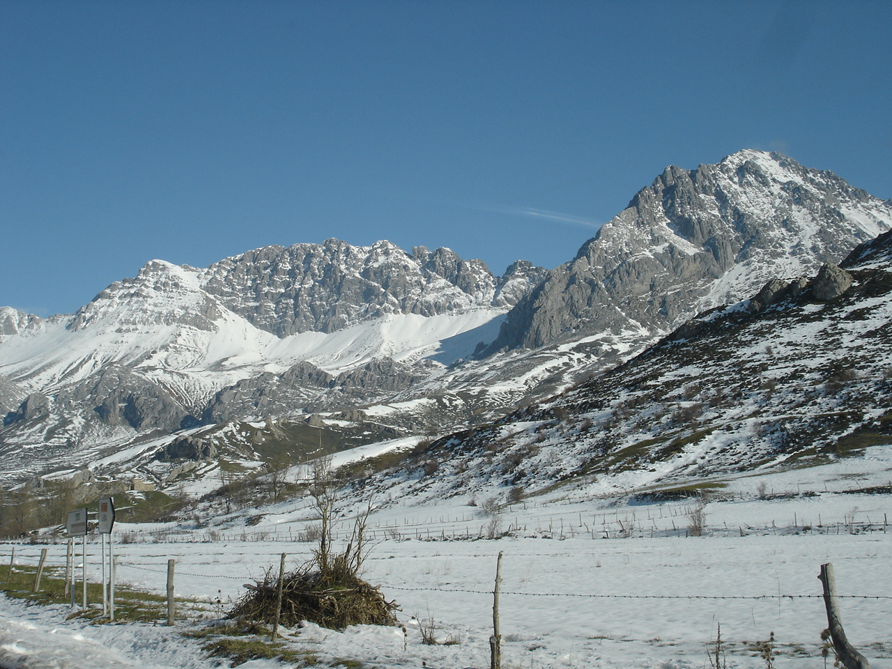
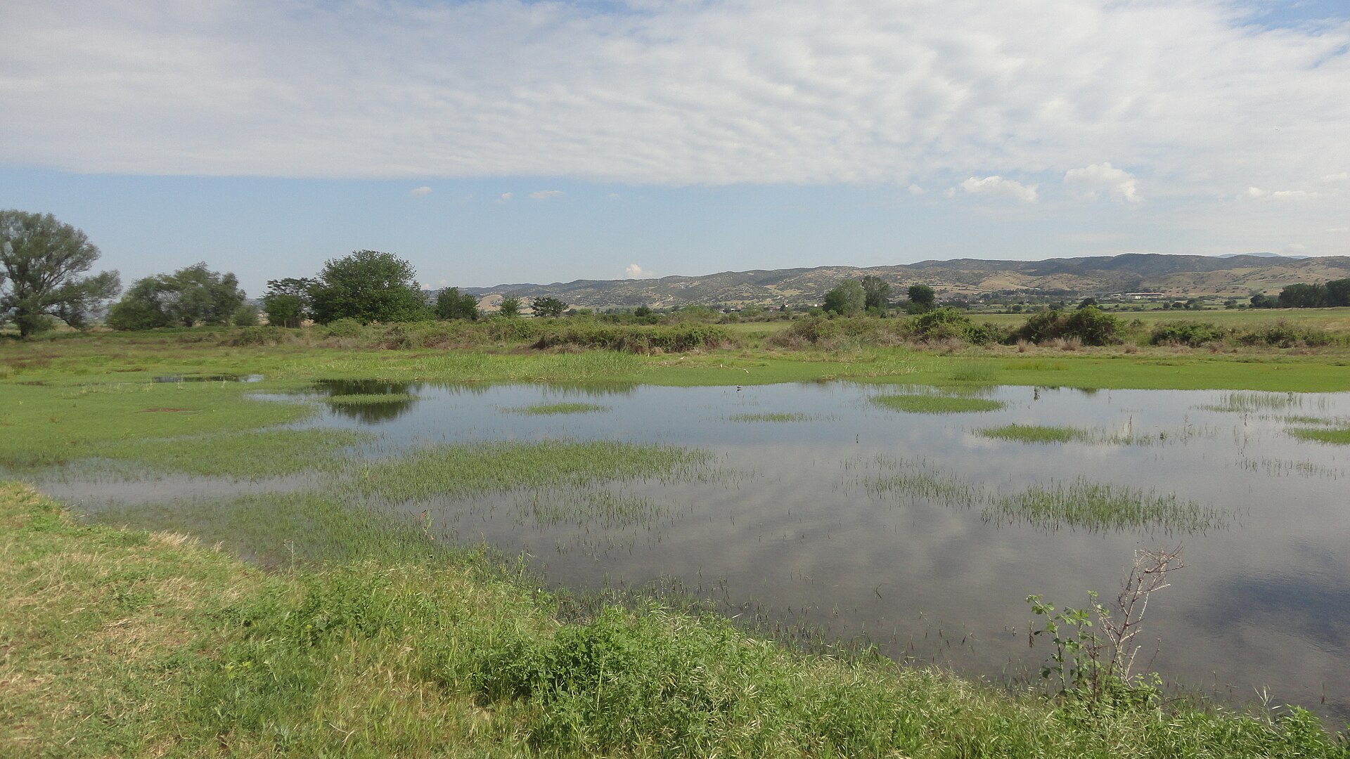
Natura 2000 62,590 records

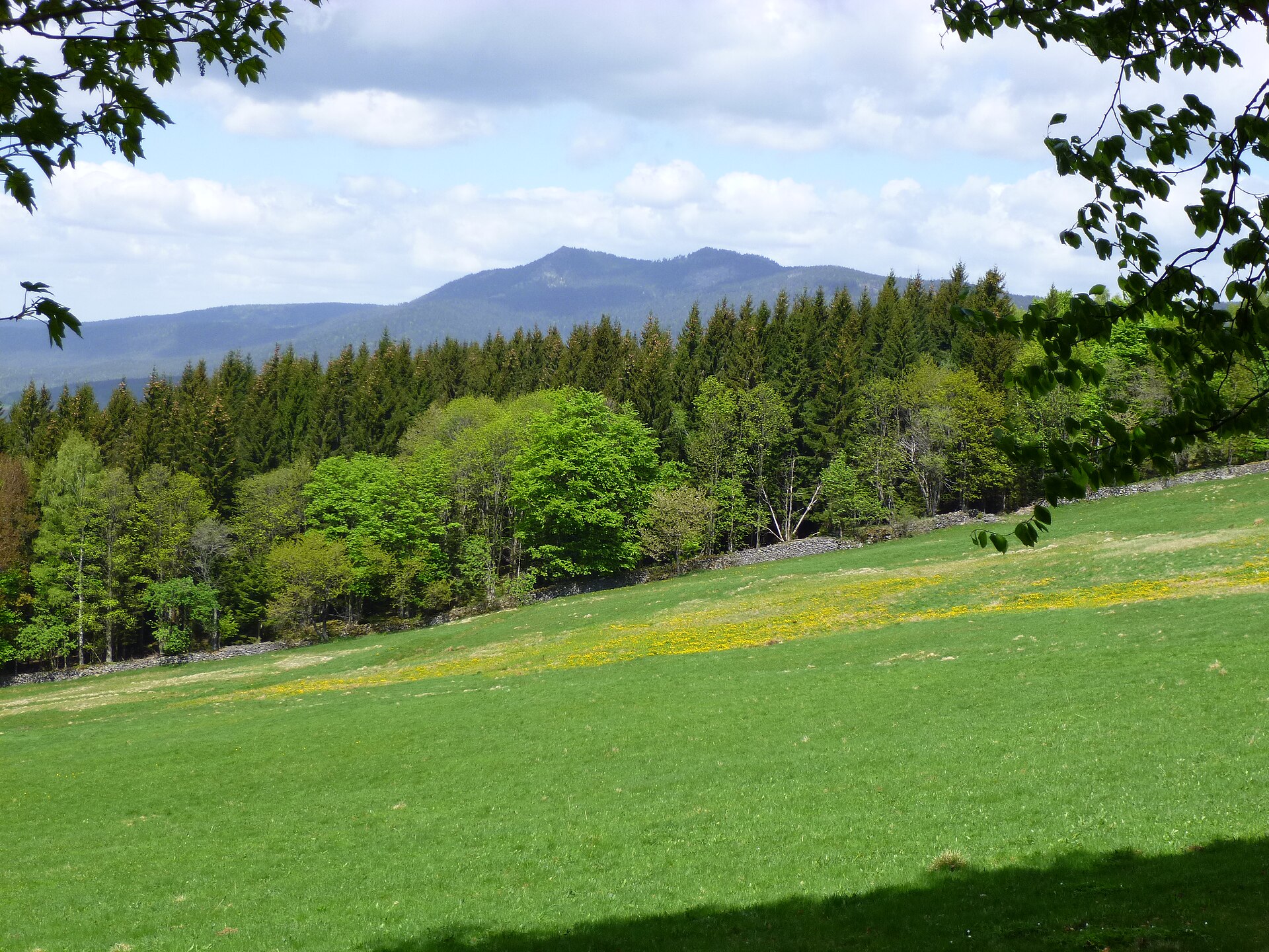
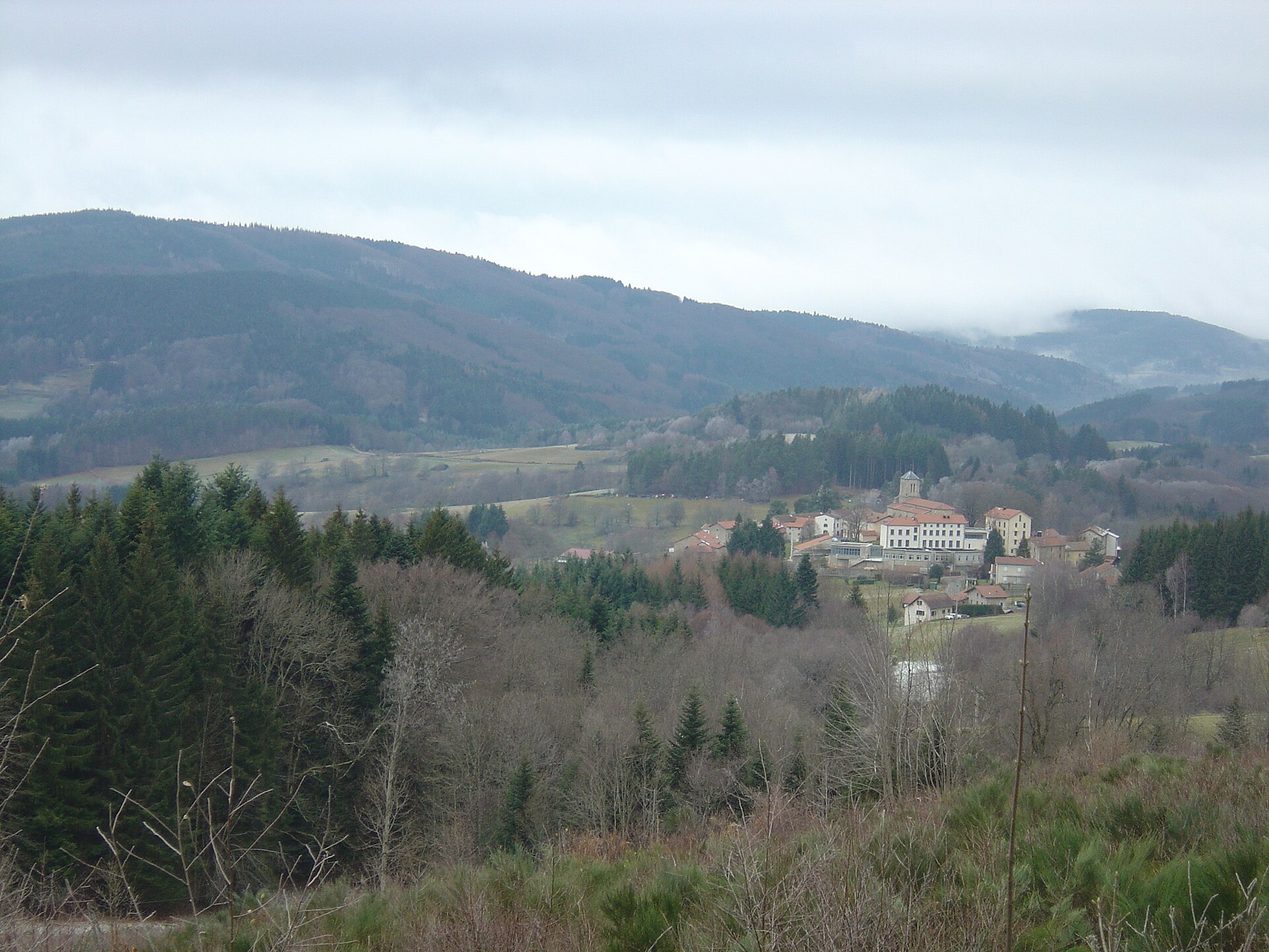
Natura 2000 51,646 records

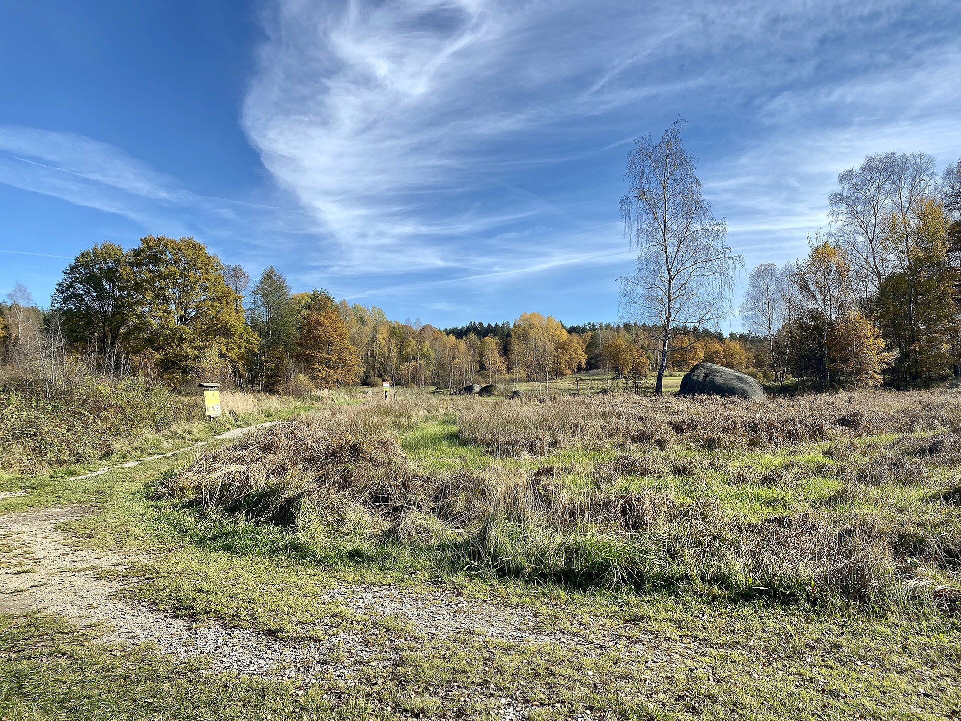
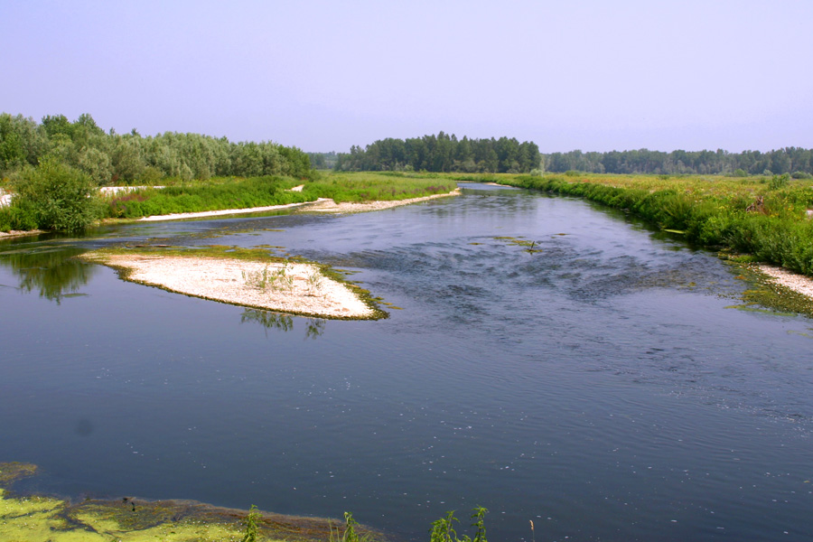
Natura 2000 22,085 records

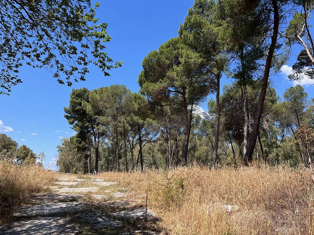
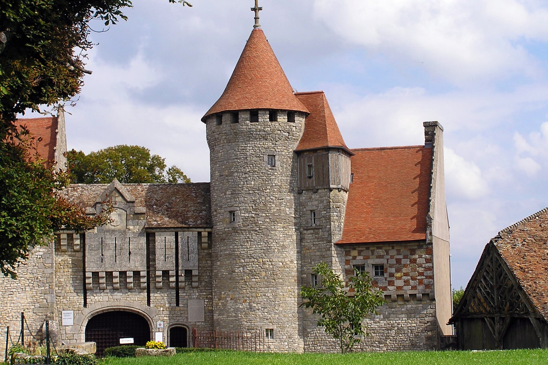
Natura 2000 20,828 records
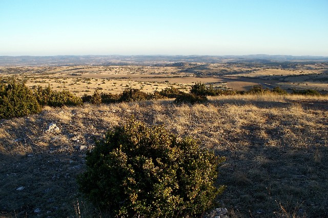
Natura 2000 16,931 records

Natura 2000 11,902 records

Natura 2000 6,624 records
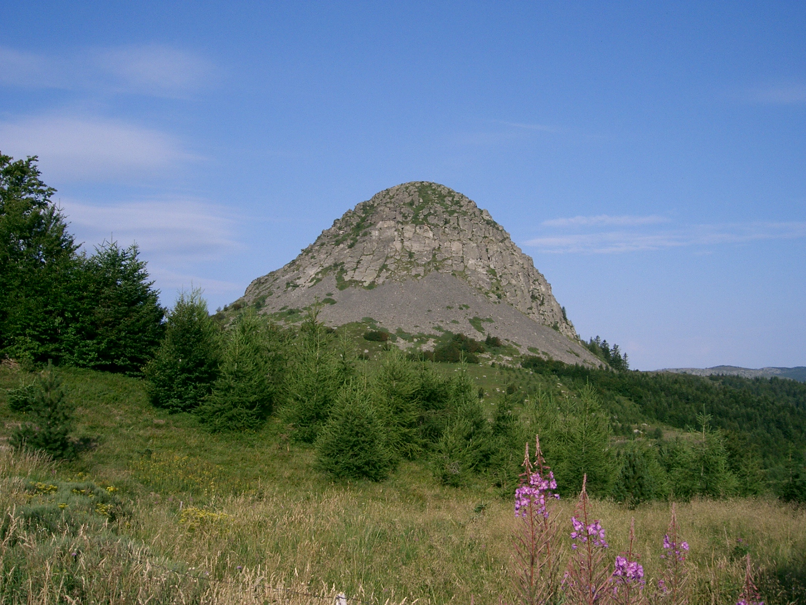
Natura 2000 5,825 records
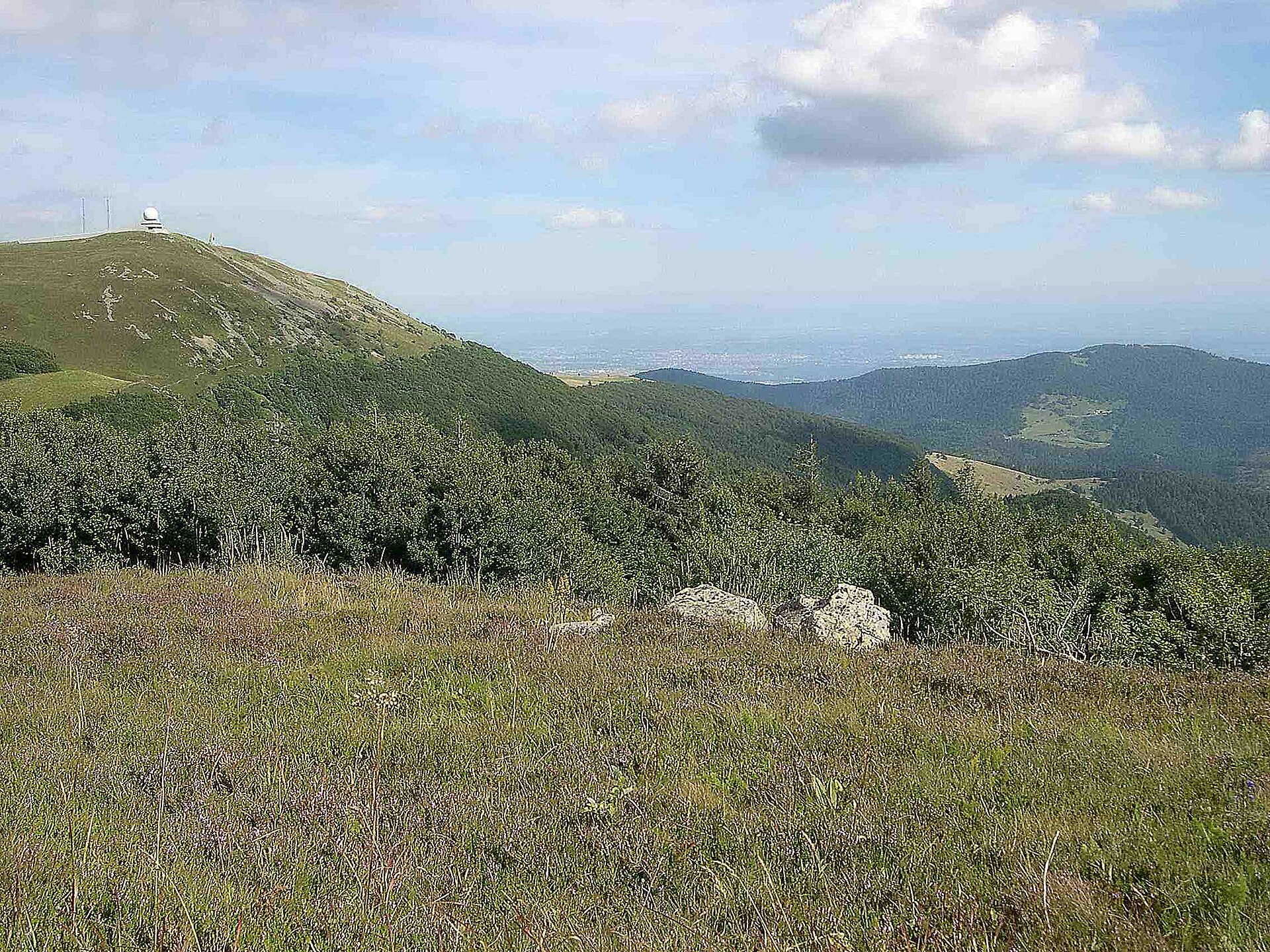
Natura 2000 3,991 records
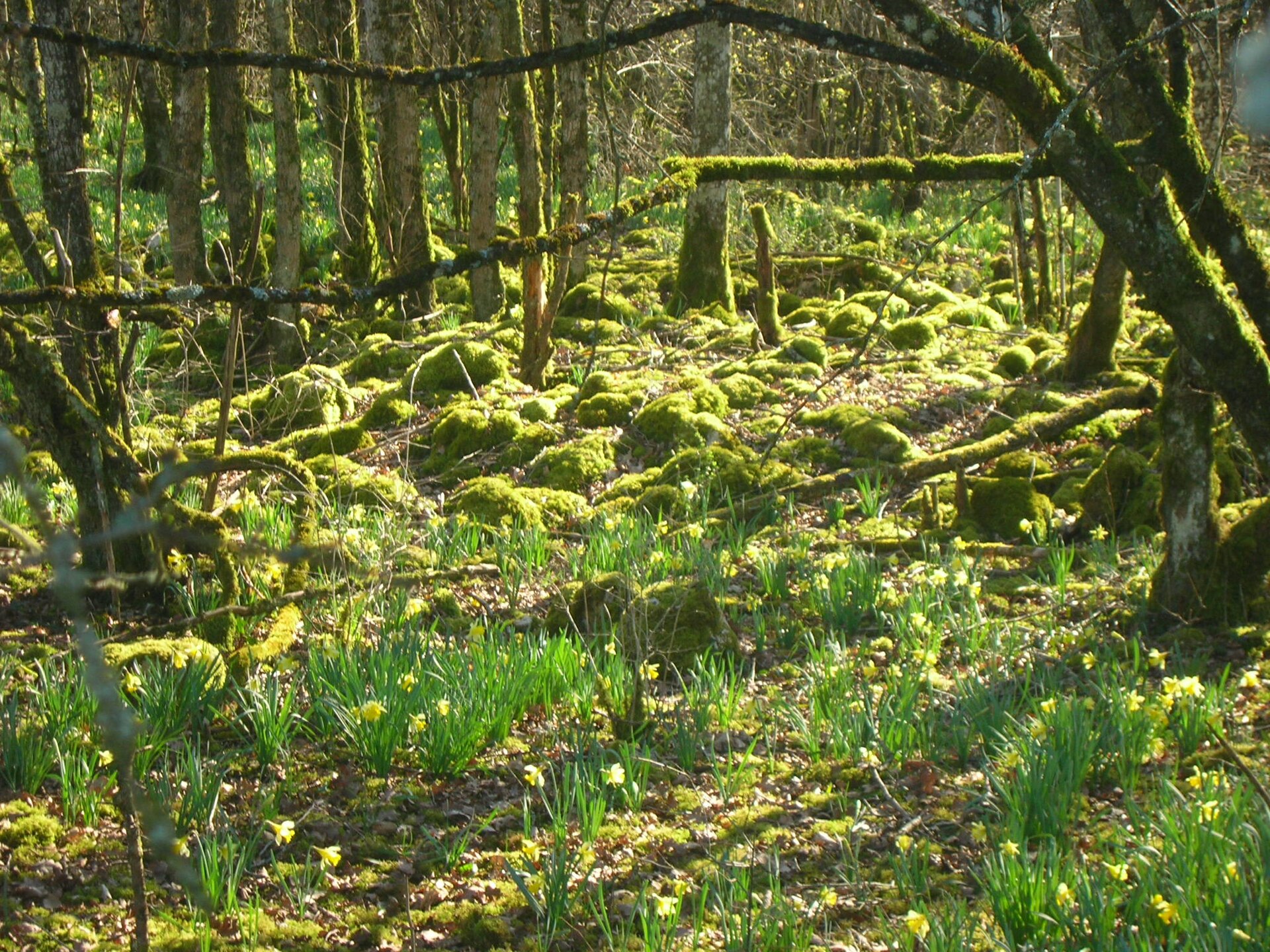
Natura 2000 1,695 records

Natura 2000 709 records
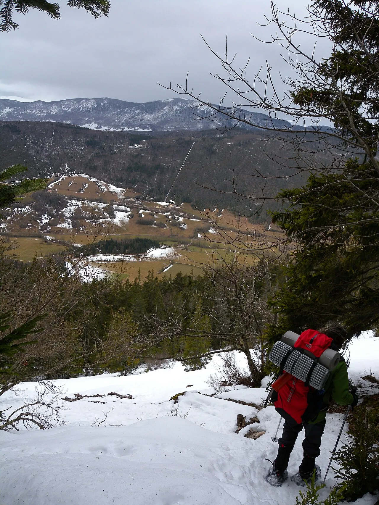
Natura 2000 212 records
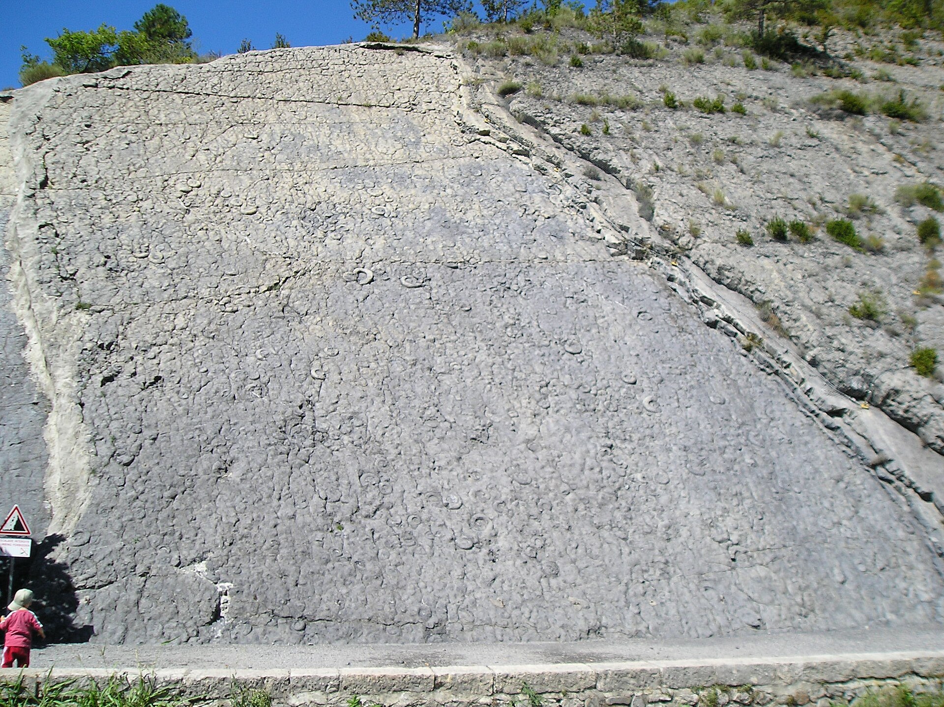
Natura 2000 3 records

62,368 records
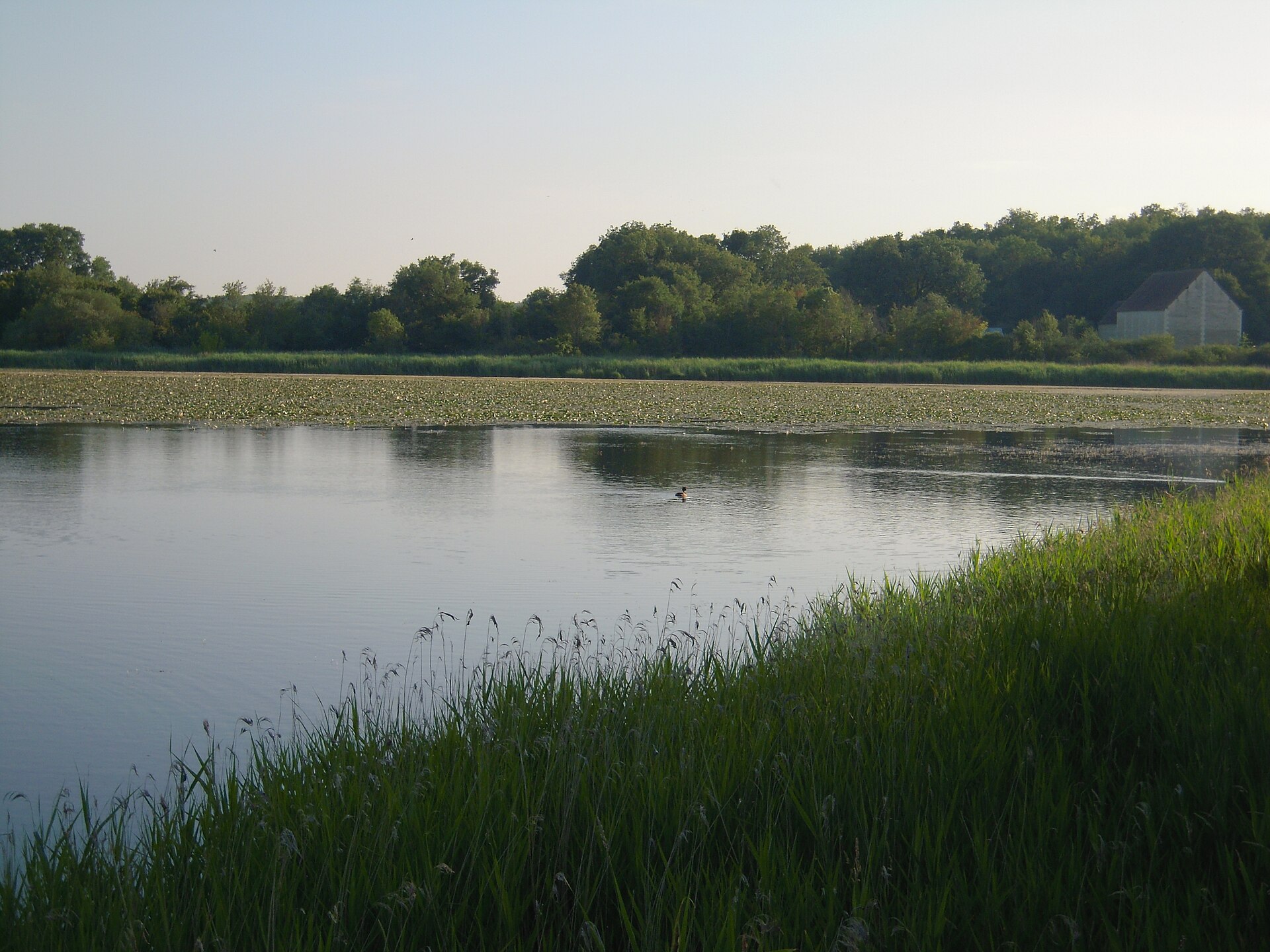
25,692 records

19,570 records

8,313 records
6,030 records
4,715 records

2,406 records
1,622 records
1,566 records

829 records
673 records

478 records
376 records
318 records

240 records

93 records

89 records

83 records

72 records

61 records

57 records
25 records
6 records

Natura 2000
Natura 2000

Natura 2000

Natura 2000

Natura 2000
Natura 2000
Natura 2000
Natura 2000

Natura 2000
Natura 2000

Natura 2000

Natura 2000
Natura 2000

Natura 2000

Natura 2000

Natura 2000
Natura 2000
Natura 2000

Natura 2000

Natura 2000
Natura 2000

Natura 2000

Natura 2000

Natura 2000
Natura 2000

Natura 2000
Natura 2000

Natura 2000

Natura 2000
Natura 2000

Natura 2000

Natura 2000
Natura 2000

Natura 2000
Natura 2000

Natura 2000
Natura 2000
Natura 2000
Natura 2000
Natura 2000
Natura 2000
Natura 2000
Natura 2000

Natura 2000

Natura 2000
Natura 2000
Natura 2000

Natura 2000
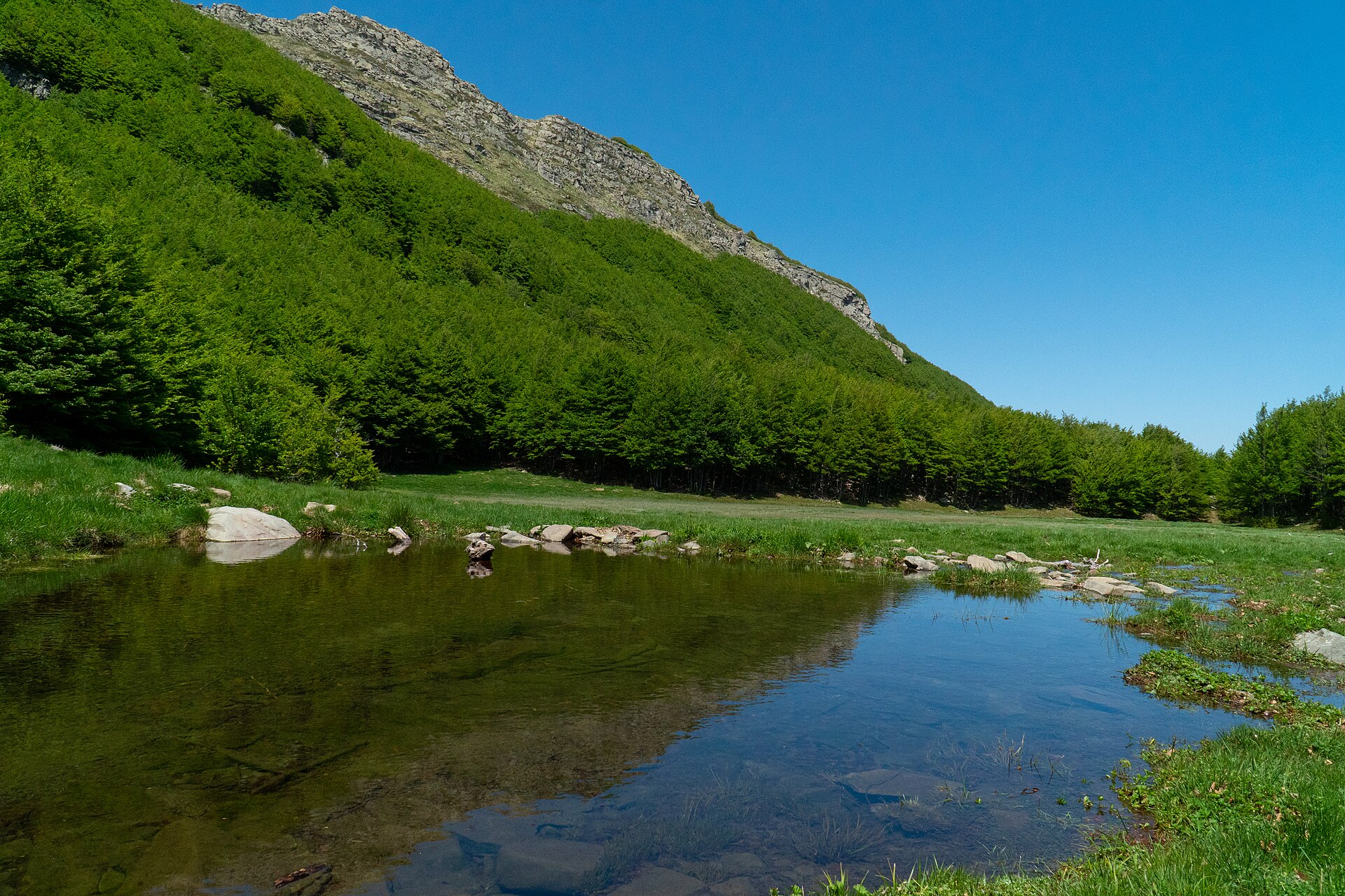
Natura 2000
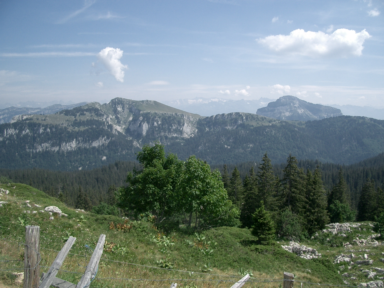
Natura 2000
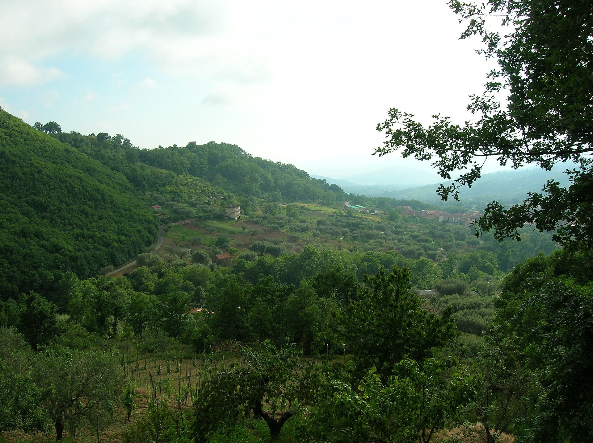
Natura 2000

Natura 2000
Natura 2000

Natura 2000

Natura 2000

Natura 2000
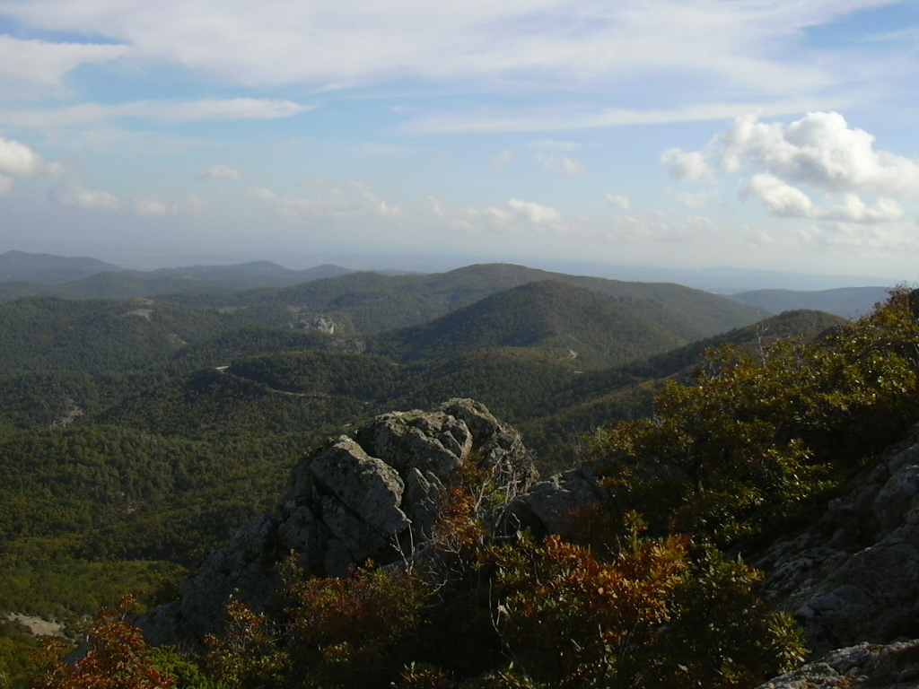
Natura 2000
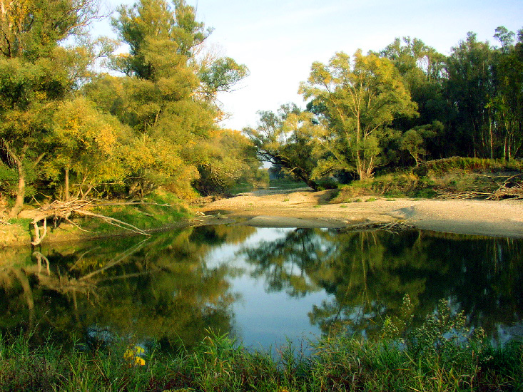
Natura 2000
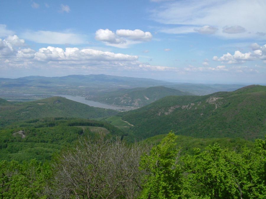
Natura 2000
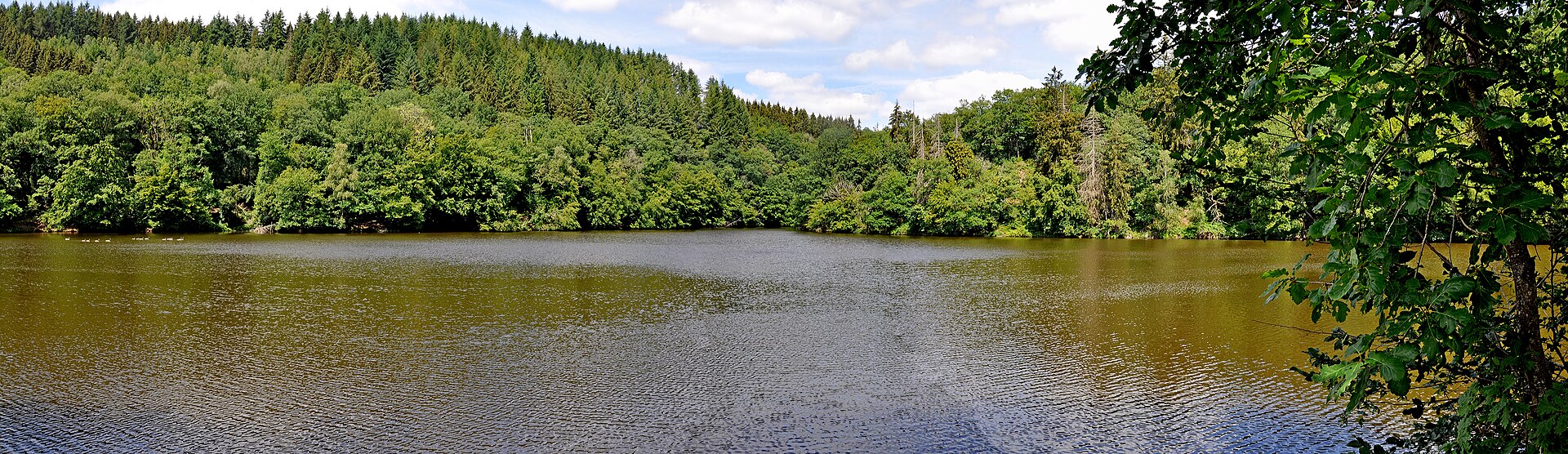
Natura 2000

Natura 2000

Natura 2000
Natura 2000

Natura 2000

Natura 2000

Natura 2000
Natura 2000

Natura 2000
Natura 2000
Natura 2000

Natura 2000
Natura 2000

Natura 2000

Natura 2000

Natura 2000
Natura 2000
Natura 2000
Natura 2000

Natura 2000

Natura 2000

Natura 2000

Natura 2000

Natura 2000
Natura 2000

Natura 2000
Natura 2000
Natura 2000
Natura 2000

Natura 2000
Natura 2000

Natura 2000

Natura 2000
Natura 2000

Natura 2000

Natura 2000
Natura 2000
Natura 2000
Natura 2000

Natura 2000

Natura 2000
Natura 2000
Natura 2000
Natura 2000

Natura 2000
Natura 2000

Natura 2000
Natura 2000
Natura 2000

Natura 2000

Natura 2000

Natura 2000
Natura 2000

Natura 2000

Natura 2000
Natura 2000
Natura 2000

Natura 2000

Natura 2000

Natura 2000

Natura 2000

Natura 2000

Natura 2000

Natura 2000
Natura 2000
Natura 2000
Natura 2000

Natura 2000

Natura 2000

Natura 2000

Natura 2000

Natura 2000

Natura 2000

Natura 2000
Natura 2000
Natura 2000

Natura 2000

Natura 2000
Natura 2000

Natura 2000
Natura 2000
Natura 2000
Natura 2000

Natura 2000

Natura 2000
Natura 2000

Natura 2000
Natura 2000

Natura 2000
Natura 2000

Natura 2000

Natura 2000
Natura 2000
Natura 2000

Natura 2000
Natura 2000

Natura 2000

Natura 2000

Natura 2000

Natura 2000

Natura 2000

Natura 2000

Natura 2000

Natura 2000

Natura 2000

Natura 2000

Natura 2000
Natura 2000
Natura 2000
Natura 2000

Natura 2000

Natura 2000

Natura 2000

Natura 2000

Natura 2000
Natura 2000

Natura 2000
Natura 2000

Natura 2000

Natura 2000

Natura 2000
Natura 2000

Natura 2000
Natura 2000

Natura 2000

Natura 2000

Natura 2000

Natura 2000

Natura 2000

Natura 2000

Natura 2000
Natura 2000
Natura 2000

Natura 2000
Natura 2000
Natura 2000
Natura 2000

Natura 2000
Natura 2000

Natura 2000
Natura 2000

Natura 2000

Natura 2000
Natura 2000
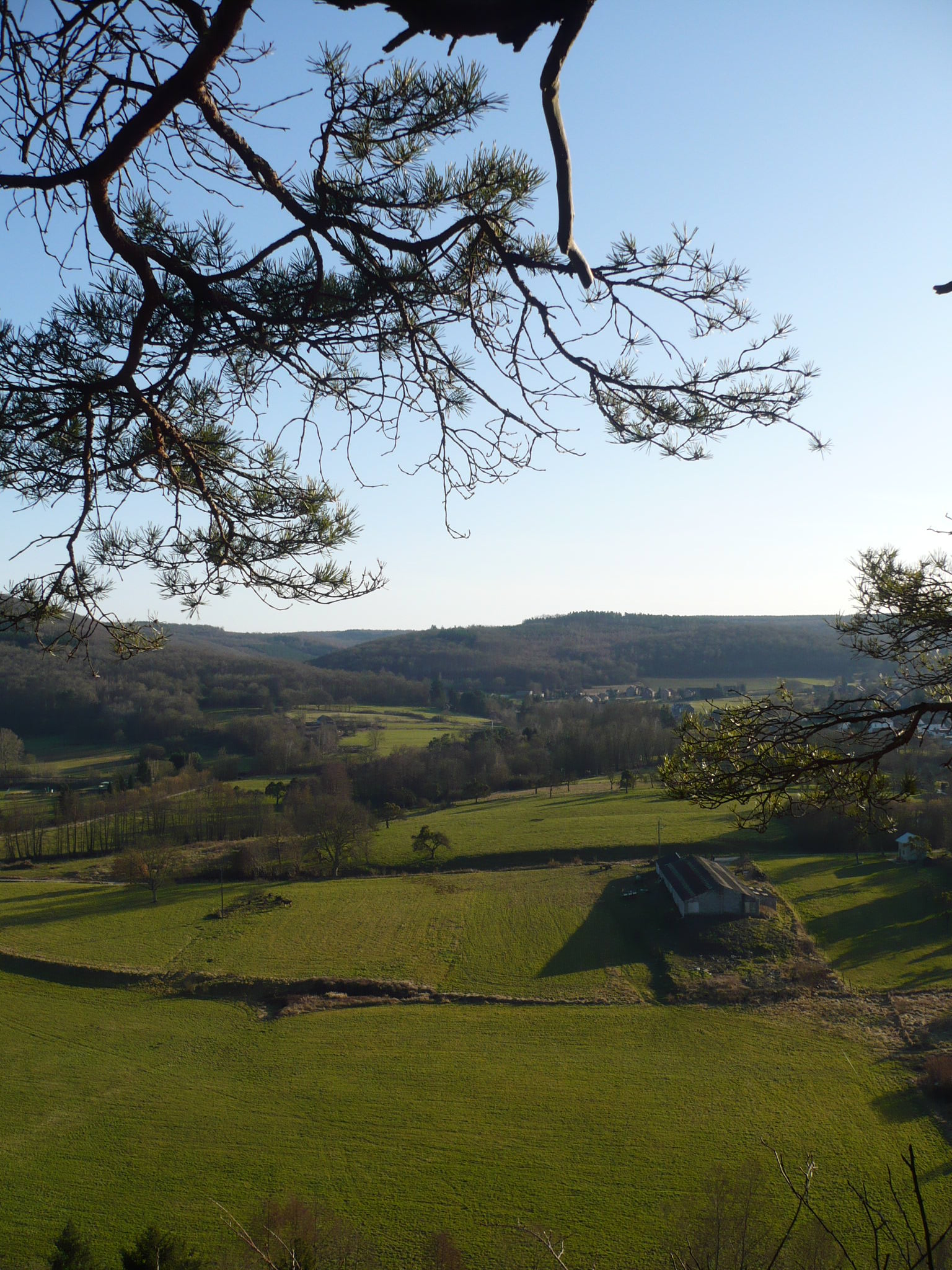
Natura 2000
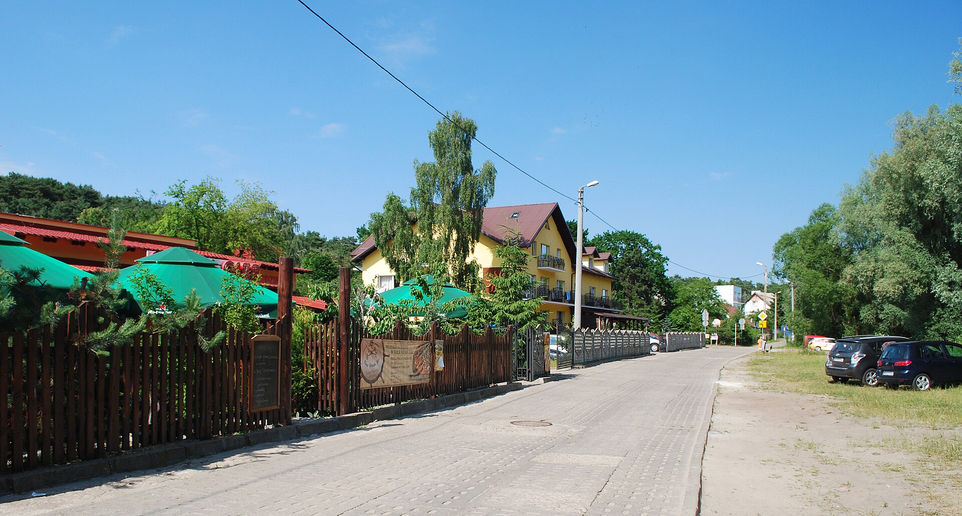
Natura 2000
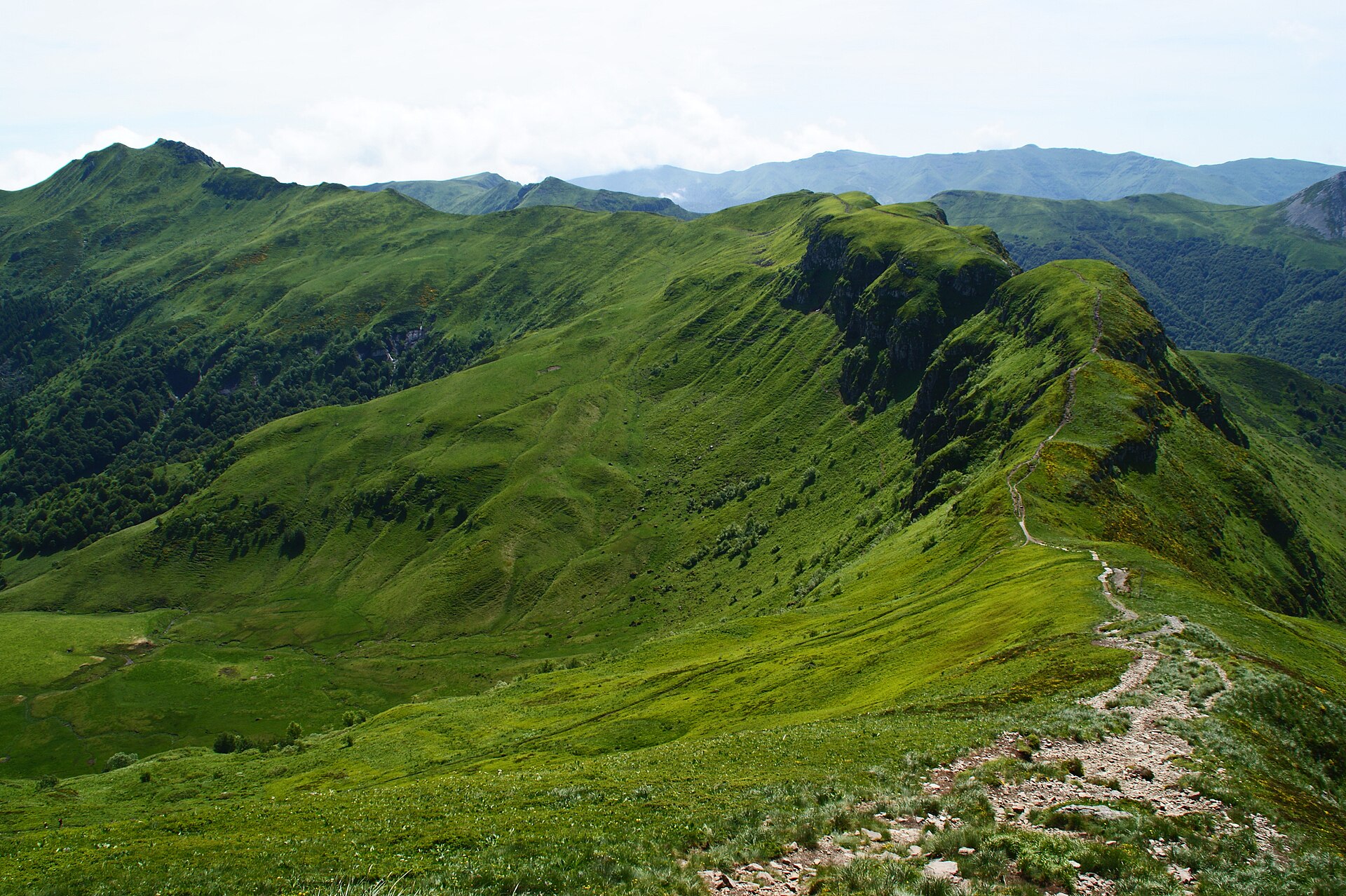
Natura 2000
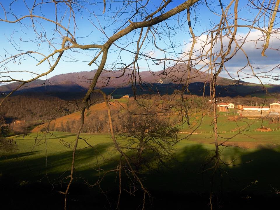
Natura 2000
Natura 2000

Natura 2000
Natura 2000
Other species to discover
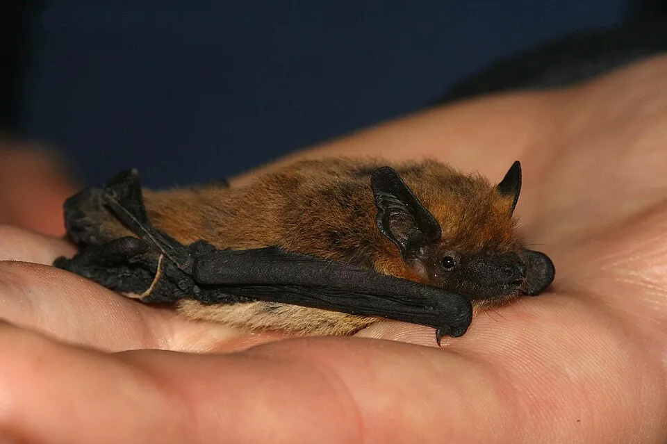 Kuhl's pipistrelle
Pipistrellus kuhlii Same genus
 Soprano Pipistrelle
Pipistrellus pygmaeus Same genus
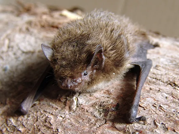 Nathusius's pipistrelle
Pipistrellus nathusii Same genus
Kuhl's Pipistrelle
Pipistrellus kuhli Same genus
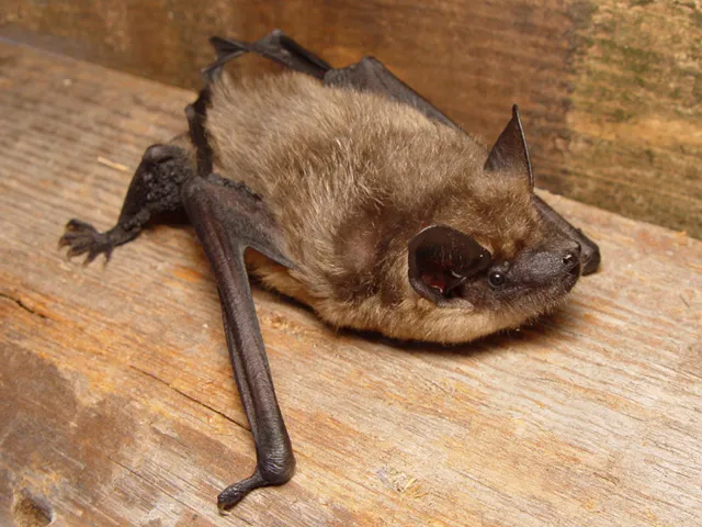 Serotine bat
Eptesicus serotinus 173 places in common
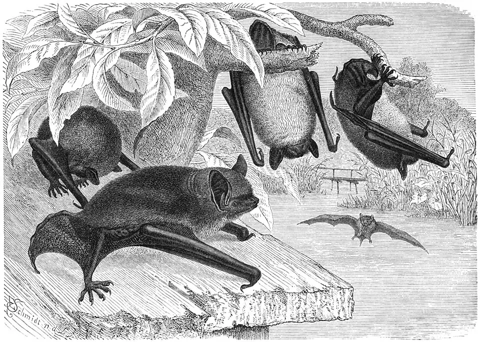 Daubenton's bat
Myotis daubentonii 164 places in common
Sources and credits
- Presence: most-recorded species of each place on GBIF and species of Community interest in the Natura 2000 forms (EEA, CC-BY 4.0); absence from the list does not mean the species is absent.
- Common names: Wikidata (CC0) and GBIF.
- Photos and sounds: Wikimedia Commons, author and licence given for each file.
- Classification: GBIF Backbone Taxonomy (GBIF Secretariat), CC BY 4.0, doi:10.15468/39omei.
- Countries, elevations, months and maps: GBIF.org, CC0 or CC BY 4.0 occurrences only, accessed October 22, 2026, GBIF.org.
- Base map: Natural Earth (public domain).
- Excerpt: Wikipedia, CC BY-SA 4.0 (full credit below the excerpt).
- Key facts: Wikidata (CC0), with the references cited under each value.
- Annexes: Directive 92/43/EEC (consolidated version), © European Union, EUR-Lex.
- Conservation status: EEA / DG ENV, Article 17 Habitats Directive reporting (2013–2018), CC BY 4.0.