
France · Terrestrial
Forêts National Park
National park of 56,613 hectares in France, established in 2019.
Overview
National park of 56,613 hectares in France, established in 2019.
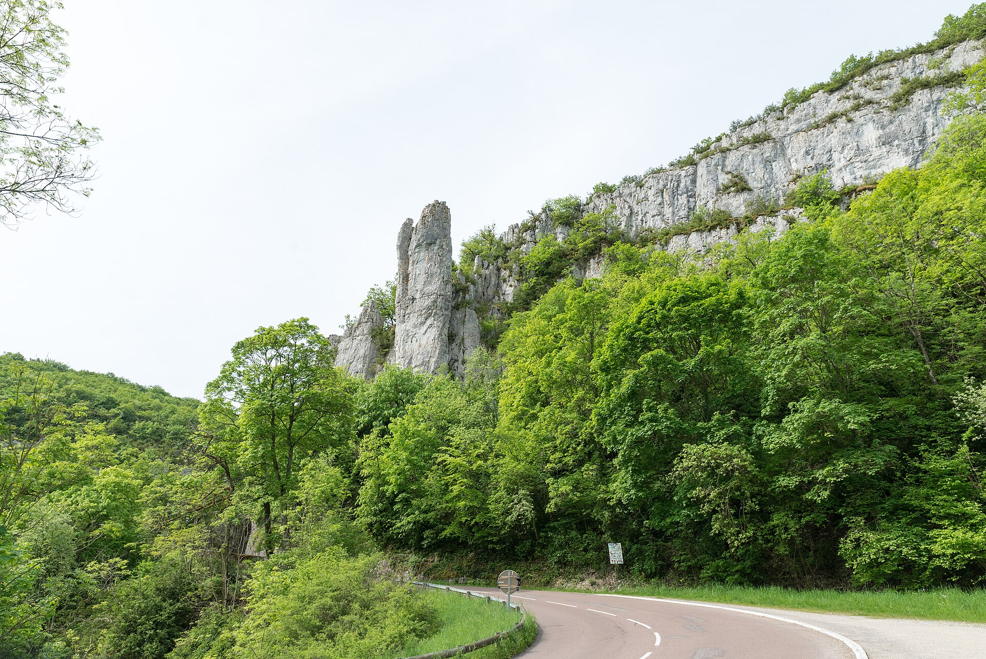
Forêts National Park is located in France (Europe). It is a predominantly terrestrial area. Established on 6 November 2019, it covers about 56,613 hectares.
Protections and designations
Natura 2000 · habitats (SAC) · 7 sites
- Marais tourbeux du plateau de Langres (secteur Sud-Ouest) FR2100275
- Marais tufeux du plateau de Langres (secteur Nord) FR2100277
- Marais tufeux du plateau de Langres (secteur Sud-Est) FR2100276
- Milieux forestiers du Châtillonnais avec marais tufeux et sites à sabot de Vénus FR2600959
- Pelouse des sources de la Suize a Courcelles-en-Montagne FR2100250
- Vallée de l'Aube, d'Auberive à Dancevoir FR2100292
- and 1 more
Natura 2000 · birds (SPA)
Protected as a national park. International labels and designations: Natura 2000 network (8 sites). Key dates: first Natura 2000 site under the Habitats Directive in 2004, first Natura 2000 site under the Birds Directive in 2006 and established in 2019.
In our collections
Timeline
-
2004
First Natura 2000 site under the Habitats Directive 7 such sites designated up to 2015
-
2006
First Natura 2000 site under the Birds Directive
-
2019
Established
Sources: Wikidata (CC0) for establishment and international labels; EEA Natura 2000 database (CC-BY 4.0) for site designation dates.
Frequently asked questions
Where is Forêts National Park?
In France (Europe). Representative point: 47.8635° N, 4.8762° E.
How large is Forêts National Park?
About 56,613 hectares (566 km²). It is the 8th largest of the 13 national parks in France covered by Parkavela.
When was Forêts National Park established?
On 6 November 2019.
What habitats and landscapes does Forêts National Park include?
A terrestrial area, with forests.
What rocks lie beneath Forêts National Park?
According to the BRGM's simplified lithological map, the bedrock consists mainly of limestones, marls and gypsum (100% of sampled points). These are mostly sedimentary rocks.
Which international labels apply to Forêts National Park?
Natura 2000 network (8 sites).
When is the best time to visit Forêts National Park?
Best time to visit: from June to October, with average temperatures of 11 to 20 °C and moderate rainfall.
What is there to see in Forêts National Park?
1 viewpoint, 1 waterfall, 8 lakes and ponds and 1 cave, including Cascades d'Étufs, L'Étang du Roi, Grotte Notre Dame du Val des Choues and Le Vieil Étang (OpenStreetMap).
Where can I stay in Forêts National Park?
3 mountain huts (OpenStreetMap).
Are there historic monuments in Forêts National Park?
Yes. According to the French Ministry of Culture's Mérimée database, 9 historic monuments stand within the boundary, 2 of them with the highest level of protection (classé). For example: “Croix du village de Châtellenot” in Terrefondrée and “Menhir dit Le Cheval gris” in Chambain.
What is the nearest large city to Forêts National Park?
Nearest towns of over 50,000 people, as the crow flies: Dijon (42 km) and Troyes (64 km). Nearest airport: Dole–Jura (DLE), about 77 km away.
How can I reach Forêts National Park by train?
The nearest railway station is Bricon, about 5 km from the site boundary.
Are there waymarked hiking trails in Forêts National Park?
Yes. Waymarked hiking routes listed in OpenStreetMap: 17, including GR 145, GR 2 and GR 7. The GR 7 · Des Vosges aux Pyrénées 02, Perrancey-les-Vieux-Moulins - La Vaseraie route runs for about 22 km through the site, with some 140 m of ascent on its longest section.
Which species can be seen in Forêts National Park?
Among the species most often recorded on GBIF are Fringilla coelebs (Eurasian Chaffinch), Salmo trutta (Brown Trout), Columba palumbus (Common Wood Pigeon) and Turdus merula (Common Blackbird).
What is the official website of Forêts National Park?
© OpenStreetMap
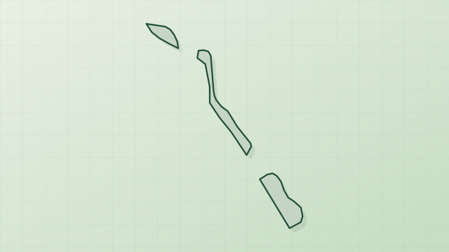
Download the boundary: GeoJSON · GPX Boundary © OpenStreetMap contributors (ODbL).
Geography
The representative point of the site lies at around 360 m above sea level. Over the 1996–2025 period, the mean annual temperature is about 10.7 °C and total precipitation reaches roughly 983 mm per year. The warmest month is usually July, the coolest January, and the wettest December. According to the BRGM's simplified lithological map, the bedrock consists mainly of limestones, marls and gypsum (100% of sampled points). These are mostly sedimentary rocks.
Area
- Area
- 56,613 ha
- Elevation
- 360 m
- Median elevation
- 370 m
- Coordinates
- 47.8635, 4.8762
Terrain: Mapzen Terrain Tiles (SRTM, USGS)
Bedrock
- Limestones, marls and gypsum 100 %
Sedimentary rocks 100 %
Source: BRGM, simplified lithological map at 1:1,000,000 (Licence Ouverte), 13 points sampled within the boundary.
Climate
● Mean temperature (°C) · ▮ Precipitation (mm)
Source: Copernicus ERA5-Land (C3S, doi:10.24381/cds.68d2bb30), monthly averages 1996–2025 interpolated to the representative point, temperatures adjusted for elevation.
Contains modified Copernicus Climate Change Service information 2026. Neither the European Commission nor ECMWF is responsible for any use that may be made of the Copernicus information or data it contains.
Natural habitats
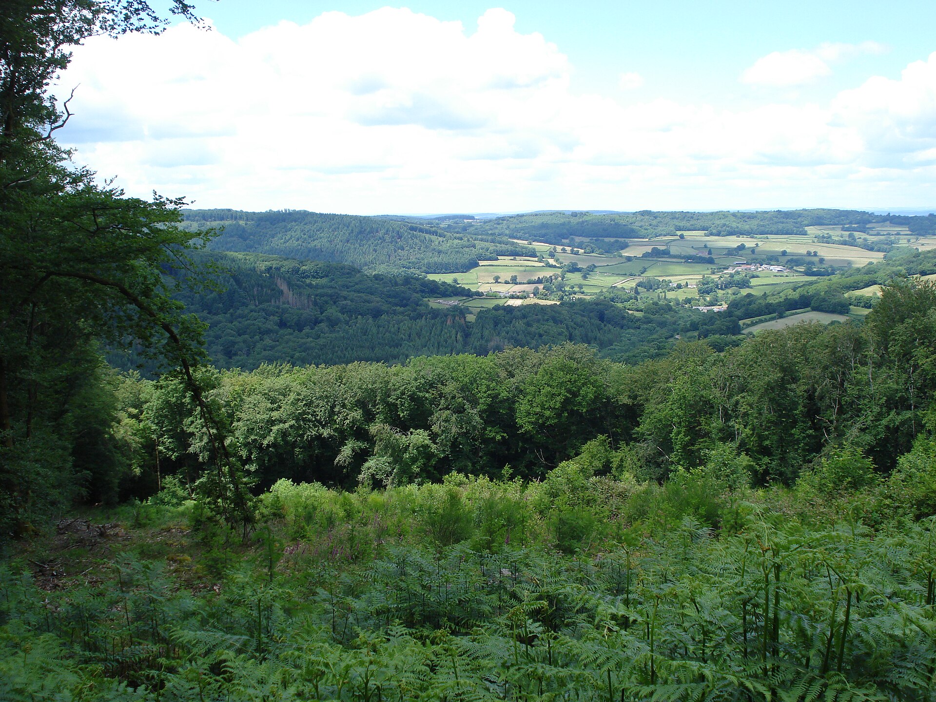
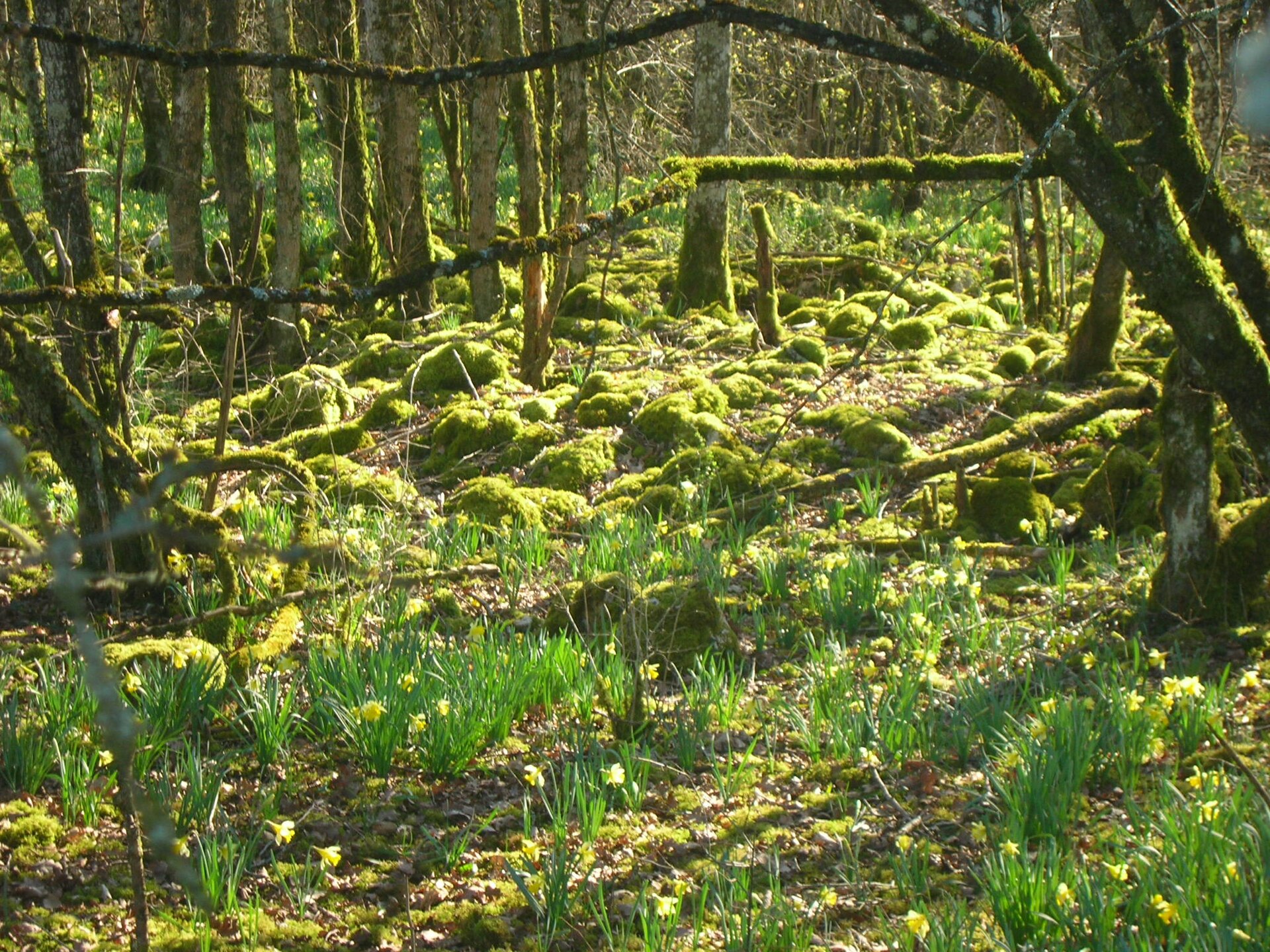
According to CORINE Land Cover (2018), the site is mainly made up of forests (88%) and farmland (7%). Woodland is mostly broadleaved. Elevation ranges from about 270 to 480 m (sampled elevations, SRTM). The 8 Natura 2000 sites overlapping the area list 20 habitats of European interest (7 priority), the most extensive being Medio-European limestone beech forests of the Cephalanthero-Fagion, Asperulo-Fagetum beech forests and Sub-Atlantic and medio-European oak or oak-hornbeam forests of the Carpinion betuli.
Biodiversity
Based on occurrences aggregated by GBIF, several species are regularly recorded within the site. Among the most frequent are Fringilla coelebs (Eurasian Chaffinch), Salmo trutta (Brown Trout), Columba palumbus (Common Wood Pigeon) and Turdus merula (Common Blackbird). The full list of documented taxa is shown below. The overlapping Natura 2000 sites list 70 species of European interest: 18 birds, 22 mammals, 4 reptiles, 6 amphibians, 4 fish, 12 invertebrates and 4 plants.
Habitats of European interest
From the official forms of the 8 Natura 2000 sites overlapping the area (areas reported for each whole site).
- Medio-European limestone beech forests of the Cephalanthero-Fagion 2,972 ha
- Asperulo-Fagetum beech forests 1,162 ha
- Sub-Atlantic and medio-European oak or oak-hornbeam forests of the Carpinion betuli 239 ha
- Lowland hay meadows (Alopecurus pratensis, Sanguisorba officinalis) 149 ha
- Alluvial forests with Alnus glutinosa and Fraxinus excelsior (Alno-Padion, Alnion incanae, Salicion albae) priority 50 ha
- Semi-natural dry grasslands and scrubland facies on calcareous substrates (Festuco-Brometalia) (* important orchid sites) 45 ha
- Hydrophilous tall herb fringe communities of plains and of the montane to alpine levels 39 ha
- Alkaline fens 39 ha
and 12 more
Species of European interest
Birds · 18
Boreal Owl (Aegolius funereus) resident, Common Kingfisher (Alcedo atthis) resident, Eurasian Eagle-owl (Bubo bubo) breeding, European Nightjar (Caprimulgus europaeus) breeding, Black Stork (Ciconia nigra) breeding, Western Marsh Harrier (Circus aeruginosus) breeding, Hen Harrier (Circus cyaneus) resident, Montagu's Harrier (Circus pygargus) breeding, Black Woodpecker (Dryocopus martius) resident, Booted Eagle (Hieraaetus pennatus) breeding, Red-backed Shrike (Lanius collurio) breeding, Middle spotted woodpecker (Leiopicus medius) resident and 6 more
Mammals · 22
Barbastelle (Barbastella barbastellus), Serotine bat (Eptesicus serotinus), European pine marten (Martes martes), Hazel dormouse (Muscardinus avellanarius), Western Polecat (Mustela putorius), Alcathoe Whiskered Bat (Myotis alcathoe), Bechstein's bat (Myotis bechsteinii), Brandt's Bat (Myotis brandtii), Daubenton's Bat (Myotis daubentoni), Daubenton's bat (Myotis daubentonii), Geoffroy's bat (Myotis emarginatus), Greater mouse-eared bat (Myotis myotis) and 10 more
Reptiles · 4
Dark green snake (Coluber viridiflavus), Smooth snake (Coronella austriaca), Sand lizard (Lacerta agilis), Common wall lizard (Podarcis muralis)
Amphibians · 6
Midwife toad (Alytes obstetricans), Yellow-bellied toad (Bombina variegata), Common tree frog (Hyla arborea), Agile frog (Rana dalmatina), Pool frog (Rana lessonae), Common frog (Rana temporaria)
Fish · 4
European bullhead (Cottus gobio), Common Bullhead (Cottus perifretum), European brook lamprey (Lampetra planeri), Grayling (Thymallus thymallus)
Invertebrates · 12
White-clawed Crayfish (Austropotamobius pallipes), Southern damselfly (Coenagrion mercuriale), Marsh fritillary (Euphydryas aurinia), Scarce Fritillary (Euphydryas maturna), Jersey Tiger (Euplagia quadripunctaria), Lilypad whiteface (Leucorrhinia caudalis), Woodland brown (Lopinga achine), Stag beetle (Lucanus cervus), Large copper (Lycaena dispar), Orange-spotted Emerald (Oxygastra curtisii), Narrow-mouthed whorl snail (Vertigo angustior), Desmoulin's whorl snail (Vertigo moulinsiana)
Plants · 4
Lady's-slipper orchid (Cypripedium calceolus), Great Yellow Gentian (Gentiana lutea), Ligularia sibirica, Summer lady's-tresses (Spiranthes aestivalis)
Other · 1
Source: Natura 2000 standard data forms (EEA, CC-BY 4.0). Not exhaustive: sensitive species are not published.
Species to look out for
Fish
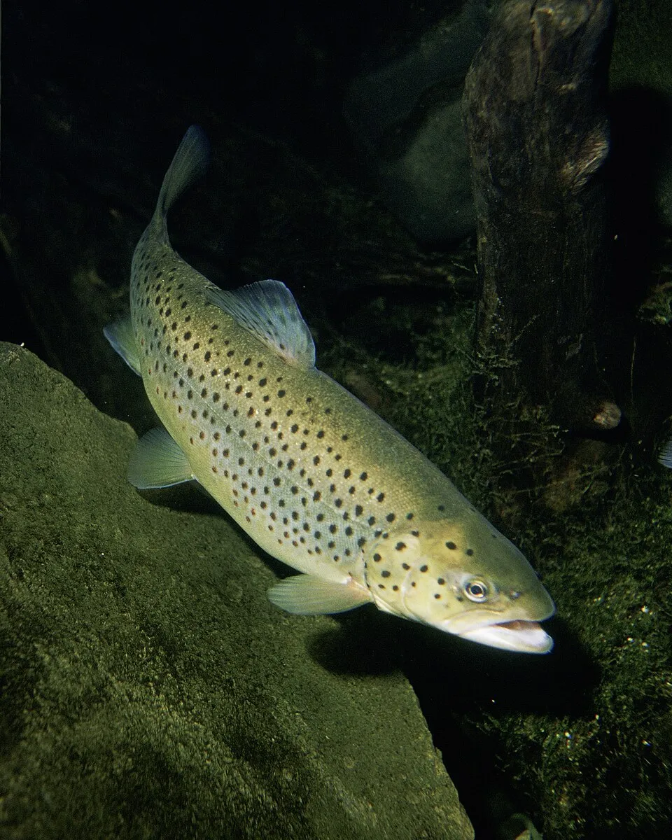
Brown Trout
Salmo trutta3,252 records © Eric Engbretson for U.S. Fish and Wildlife Service · Public domain

Observed species
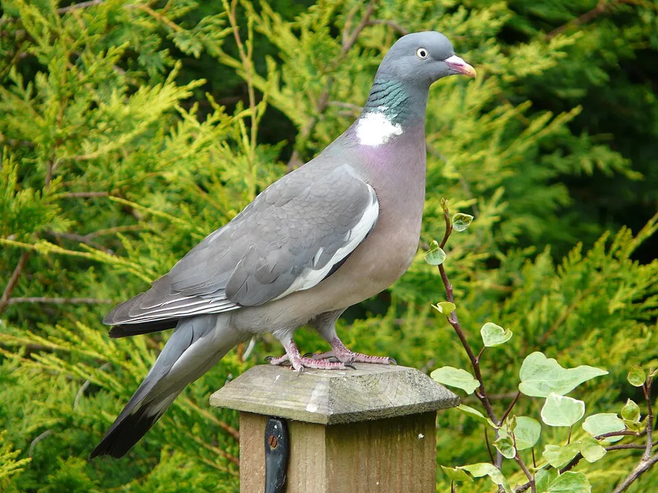
Occurrences documented via GBIF; they are neither an exhaustive inventory nor proof of current presence.
- Eurasian Chaffinch · Fringilla coelebs · 3477
- Brown Trout · Salmo trutta · 3252
- Common Wood Pigeon · Columba palumbus · 3232
- Common Blackbird · Turdus merula · 3189
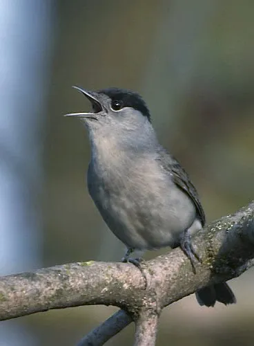
- Eurasian Blackcap · Sylvia atricapilla · 2660
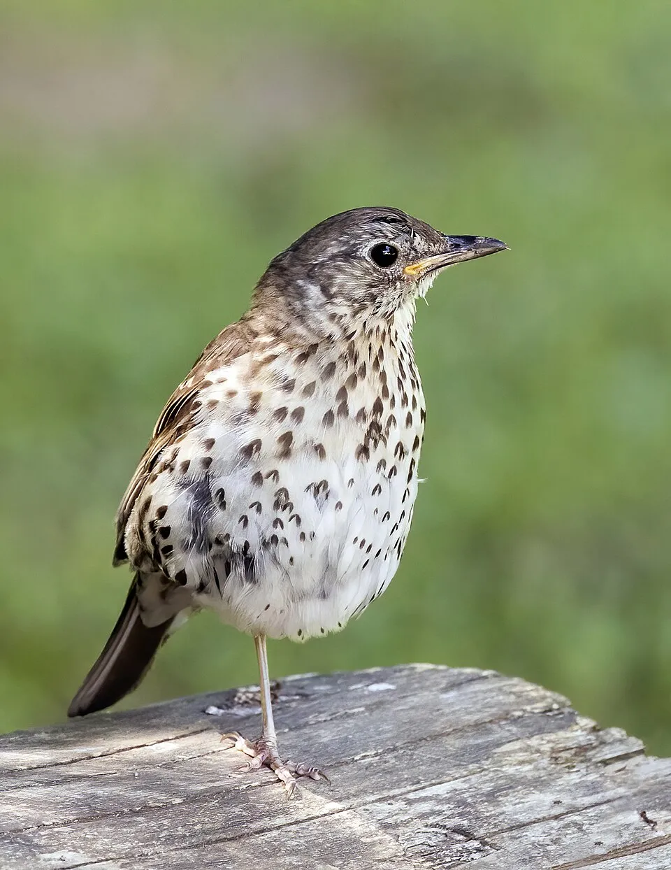
- Song Thrush · Turdus philomelos · 2612
- European bullhead · Cottus gobio · 2545
- Eurasian Wren · Troglodytes troglodytes · 2189
- Great tit · Parus major · 2023
- Common Chiffchaff · Phylloscopus collybita · 2016
- European robin · Erithacus rubecula · 2011
- Common pipistrelle · Pipistrellus pipistrellus · 1695
+18 more species
- Hornbeam · Carpinus betulus · 1431
- Eurasian Nuthatch · Sitta europaea · 1424
- European Beech · Fagus sylvatica · 1345
- Great Spotted Woodpecker · Dendrocopos major · 1322
- Glaucous sedge · Carex flacca · 1322
- Common minnow · Phoxinus phoxinus · 1316
- Hazel · Corylus avellana · 1282
- Common Ivy · Hedera helix · 1197
- Lady's-slipper orchid · Cypripedium calceolus · 1187
- Wild Privet · Ligustrum vulgare · 1154
- Willow Warbler · Phylloscopus trochilus · 1098
- Field Maple · Acer campestre · 1080
- Eurasian Jay · Garrulus glandarius · 1058
- Eurasian blue tit · Cyanistes caeruleus · 993
- Hawthorn · Crataegus monogyna · 992
- Slender false brome · Brachypodium sylvaticum · 946
- Marsh Tit · Poecile palustris · 940
- Short-toed Treecreeper · Certhia brachydactyla · 926
Records: GBIF.org (CC-BY). Names: Wikidata (CC0), GBIF. Photos: Wikimedia Commons.
Conservation challenges
The primary purpose of the site is to preserve its natural habitats and the biodiversity they support. The species recorded (Biodiversity tab) reflect its ecological value. The designations it holds frame its management and the control of land use.
According to Global Forest Change data (University of Maryland, Global Forest Watch), about 1,060 ha of tree cover were lost within the boundary between 2001 and 2023 (2% of its area), peaking in 2008 and 2021. These losses include logging, storms and fires, and do not account for regrowth. Apart from forest felling and regrowth (about 3,990 ha in total), land cover remained almost unchanged between 1990 and 2018 according to CORINE Land Cover. At night, the area gives off virtually no artificial light detectable from space (NASA VIIRS Black Marble composite, 2016). According to the Natura 2000 forms, of 20 assessed habitats of European interest, 15 are in excellent condition and 2 in average or reduced condition. According to the Water Framework Directive assessment (2022 river basin management plans, data 2015–2017), 73% of the 116 km of rivers assessed within the site are in good or high ecological status. Since 2000, 33 invasive alien species have been recorded within the site (GBIF observations), 6 of them listed as of Union concern under EU Regulation 1143/2014. Among them: Lepomis gibbosus (Pumpkinseed), Reynoutria japonica (Japanese Knotweed) and Myocastor coypus (Coypu).
Pressure indicators
Tree cover lost
1,057 ha
2001–2023 · 2% of the area
20012023
Fires since 2016
0
No large fire mapped (fires over about 30 ha)
Light at night
0%
of the area gives off artificial light visible from space
DarkLit
Built-up land
< 1%
buildings, business areas, roads, quarries · farmland 7%
Land cover change
< 0.5%
of the area changed, 1990–2018 · CORINE
forest felling and regrowth: 3,990 ha in total
Rivers and lakes
73%
of the 116 km of assessed rivers in good or high ecological status · WFD 2022
assessments 2015–2017
Invasive alien species
33
incl. 6 of EU concern · since 2000
 PumpkinseedEU
 Japanese KnotweedEU
 CoypuEU
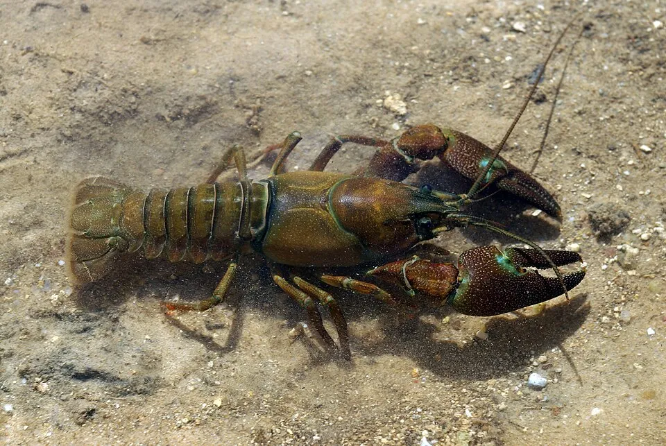 Signal crayfishEU
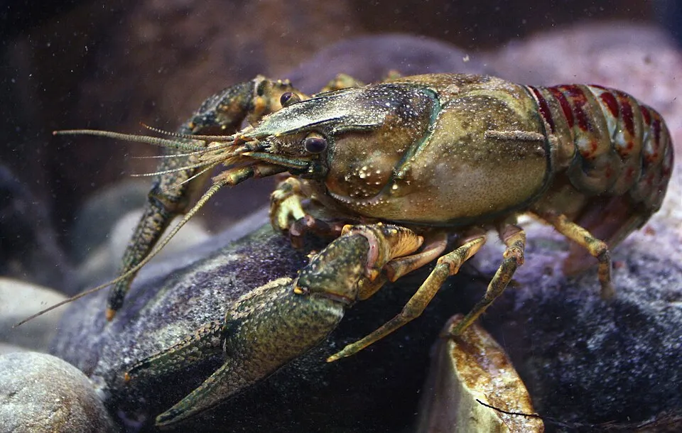 Spinycheek crayfishEU
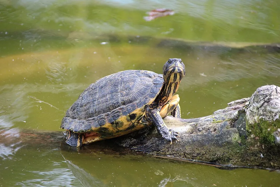 Pond sliderEU
Xyleborus germanus
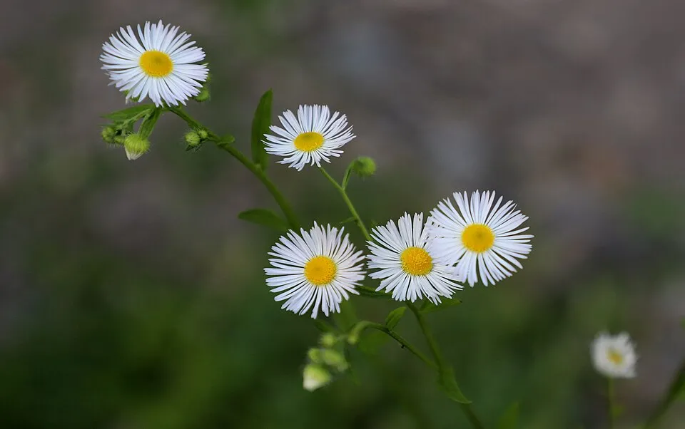 Eastern daisy fleabane
Photos: Pumpkinseed © Cephas · CC BY-SA 3.0; Japanese Knotweed © W.carter · CC0-1.0; Coypu © Philippe Amelant · CC BY-SA 3.0; Signal crayfish © David Perez · CC BY 3.0; Spinycheek crayfish © Astacoides · CC BY-SA 3.0; Pond slider © Viva.Chelonia · CC BY 2.0; Eastern daisy fleabane © W. Bulach · CC BY-SA 4.0
Sources: Global Forest Change (Hansen et al., University of Maryland, via Global Forest Watch, CC-BY 4.0); EFFIS, European Commission / Copernicus; NASA Black Marble 2016 (public domain); CORINE Land Cover 2018 (Copernicus) or MODIS.
CORINE Land Cover Change 1990–2018: generated using European Union's Copernicus Land Monitoring Service information (EEA), aggregated by Parkavela; DOI 10.2909/f30f1000-7cf8-43bb-872c-5eb093911b24.
Ecological status of water bodies: European Environment Agency, WISE – Water Framework Directive, 3rd river basin management plans (2022), CC BY 4.0. Official national classification, not comparable between countries.
Invasive alien species: Global Register of Introduced and Invasive Species (ISSG, CC BY 4.0); Union list, Regulation (EU) 1143/2014 (INBO, CC0); GBIF.org records (CC0 / CC BY 4.0), at least 2 per species.
Practical information
Cities and airport
- Dijon
42 km as the crow flies - Troyes
64 km as the crow flies - Airport: Dole–Jura (DLE)
77 km as the crow flies
Parking
10 public car parks listed within the site
Parking des MarotsLa Belle Ballade
Things to see
1 viewpoint · 1 waterfall · 8 lakes and ponds · 1 cave
- Cascades d'Étufs
waterfall - L'Étang du Roi
lake or pond - Grotte Notre Dame du Val des Choues
cave - Le Vieil Étang
lake or pond - Mare d'Épillan
lake or pond
Where to stay
3 mountain huts
Hiking
17 waymarked routes listed, including:
GR 145GR 2GR 7
Data © OpenStreetMap contributors (ODbL) · Wikidata (CC0)
Waymarked hiking routes
GR 145 Via Francigena France 04, Clairvaux - Perrancey-les-Vieux-Moulins
10.4 km within the site ↗ 65 m↘ 10 m 293–350 m
GR 7 Des Vosges aux Pyrénées 02, Perrancey-les-Vieux-Moulins - La Vaseraie
21.7 km within the site ↗ 138 m↘ 279 m 369–519 m
Tracks © OpenStreetMap contributors (ODbL), clipped to the boundary; elevation gain and profiles computed on the longest section from Mapzen Terrain Tiles (≈ 30 m), indicative only.
Access and visiting
The nearest railway station is Bricon, about 5 km from the site boundary. Nearest towns of over 50,000 people, as the crow flies: Dijon (42 km) and Troyes (64 km). Nearest airport: Dole–Jura (DLE), about 77 km away. About 100,000 people live within 20 km of the site boundary, 36,000 of them within 10 km; some 800 people are estimated to live inside (GHSL estimate, 2020). This population has fallen by about 10% since 2000. Public car parks listed within the site: 10, including Parking des Marots and La Belle Ballade. Waymarked hiking routes listed in OpenStreetMap: 17, including GR 145, GR 2 and GR 7. To see: 1 viewpoint, 1 waterfall, 8 lakes and ponds and 1 cave, including Cascades d'Étufs, L'Étang du Roi, Grotte Notre Dame du Val des Choues and Le Vieil Étang. Where to stay: 3 mountain huts. To plan a visit (access, opening periods, visitor rules), it is best to consult the official information from the managing body and the official website listed in this page's sources.
Source: OpenStreetMap (ODbL), Wikidata (CC0), October 2026.
Built heritage
According to the French Ministry of Culture's Mérimée database, 9 historic monuments stand within the boundary, 2 of them with the highest level of protection (classé). Among them are 5 religious buildings, 2 prehistoric and archaeological sites and 1 castle or fortification. Notable classé monuments include “Croix du village de Châtellenot” in Terrefondrée and “Menhir dit Le Cheval gris” in Chambain.
5 religious buildings2 prehistoric and archaeological sites1 castle or fortification1 bridge, lighthouse, mill or working building
-
Croix du village de Châtellenot
Classé
Terrefondrée · 16th c. -
Menhir dit Le Cheval gris
Classé
Chambain · Prehistory -
Abbaye du Val des Choux
Villiers-le-Duc · 17th c., 18th c. -
Bornes de la forêt de Châtillon
Buncey;Maisey-le-Duc;Nod-sur-Seine;Saint-Germain-le-Rocheux;Villiers-leDuc · 14th c., 17th c. -
Château
Rochefort · 19th c. -
Forges d'amont et d'aval
Rochefort · 18th c. -
Église de la Nativité
Rochefort · 12th c., 13th c. -
Ancienne chartreuse de Lugny
Leuglay · 12th c., 13th c.
and 1 more
Source: Mérimée database, French Ministry of Culture (Licence Ouverte 2.0). Each record links to the Plateforme ouverte du patrimoine (POP).
When to visit
Best time to visit: from June to October, with average temperatures of 11 to 20 °C and moderate rainfall. Day length ranges from about 8 h 25 min in December to 16 h 00 min in June. Wildlife records published on GBIF peak for birds (April and May), plants (from June to September), butterflies and moths (June and July), dragonflies (June and July) and mammals (June and July). These peaks also reflect when observers are most active.
Source: Copernicus ERA5-Land (C3S), monthly averages 1996–2025 at the representative point, temperatures adjusted for elevation.
Contains modified Copernicus Climate Change Service information 2026. Neither the European Commission nor ECMWF is responsible for any use that may be made of the Copernicus information or data it contains.
Wildlife records calendar
JFMAMJJASOND
Birds
Plants
Butterflies & moths
Dragonflies
Mammals
Monthly records published on GBIF (CC-BY), relative to the busiest month; also reflects observer activity.
Gallery
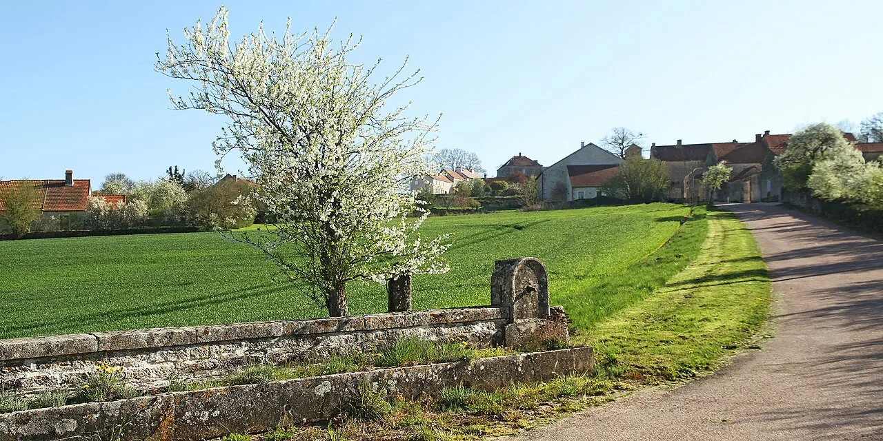
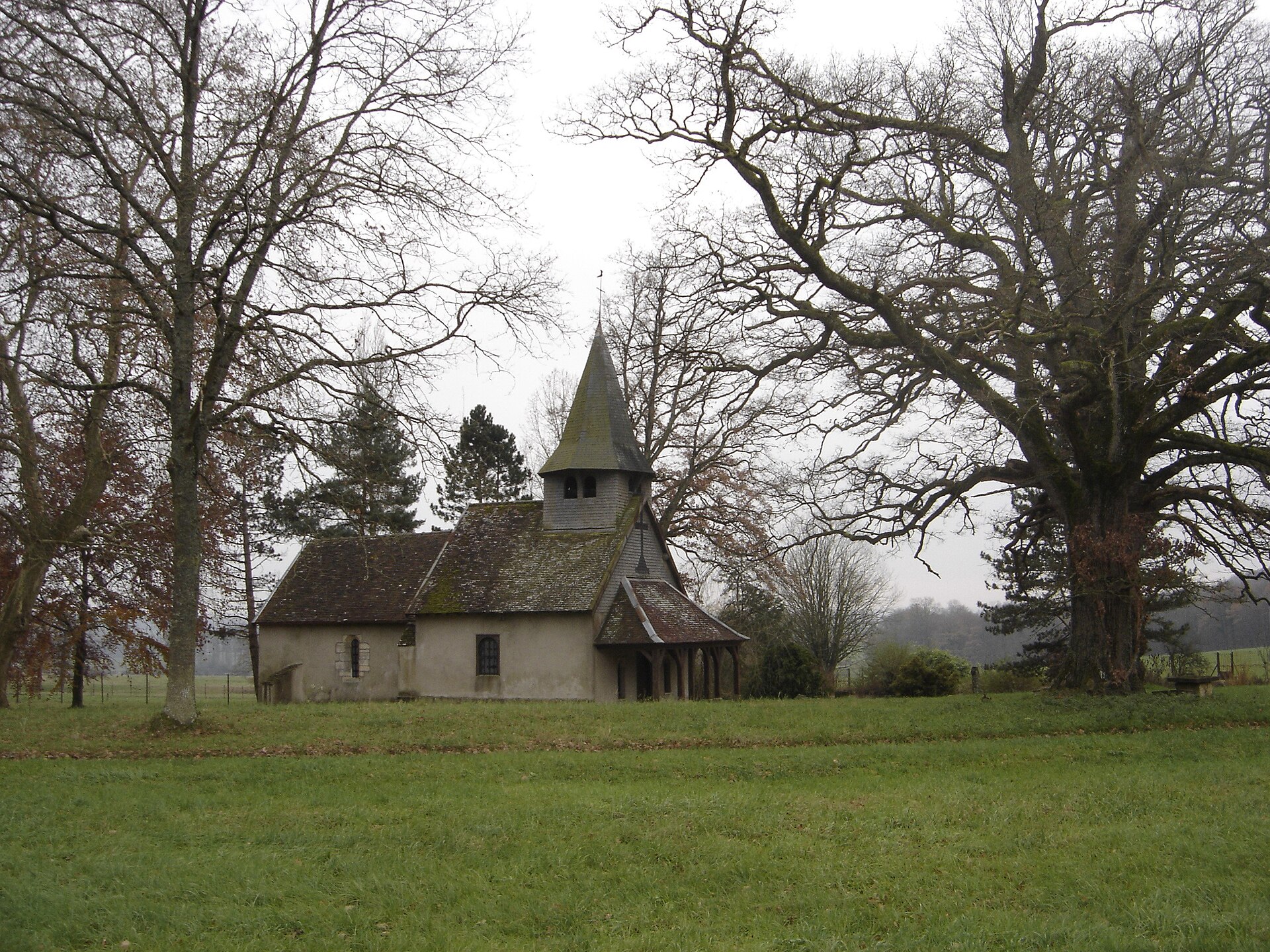
© Clément Huvig · CC BY-SA 3.0
© Phil25 · CC BY-SA 3.0
© Nick from Chelmsford, Essex · CC BY 2.0
© Espirat · CC BY-SA 4.0
© Nick from Chelmsford, Essex · CC BY 2.0
© C DIMEY 5252 · CC BY 4.0
Sources and licences
- Wikidata: Q3364499
- OpenStreetMap: relation 10304087
- Official website: http://www.forets-parcnational.fr/fr
- Wikipedia: en.wikipedia.org/wiki/Forêts_National_Park
- WDPA: 555597356
References
- cds.climate.copernicus.eu: climate · CC-BY-4.0
- registry.opendata.aws: elevation of the reference point, detailed relief · PD
- land.copernicus.eu: land cover, land cover change, sea share · COPERNICUS
- doi.org: population around the site · CC-BY-4.0
- wikidata.org: official area, establishment date, nearby cities and airport, access and peaks, lake depths, places to see, official website · CC0-1.0
- eea.europa.eu: bathing water quality, ecological status of waters · CC-BY-4.0
- en.eurovelo.com: EuroVelo cycle routes · ODbL-1.0
- cycling.waymarkedtrails.org: cycle routes · ODbL-1.0
- opentopodata.org: elevations · PD
- forest-fire.emergency.copernicus.eu: wildfires · COPERNICUS
- globalforestwatch.org: tree cover loss · CC-BY-4.0
- gbif.org: seasonality of sightings, invasive alien species, observed species · CC-BY-4.0
- infoterre.brgm.fr: geology · LO-2.0
- pop.culture.gouv.fr: protected heritage · LO-2.0
- hydrosheds.org: lakes · CC-BY-4.0
- natura2000.eea.europa.eu: Natura 2000 habitats and species · CC-BY-4.0
- openstreetmap.org: official name, access and peaks, places to see, trail difficulty, wheelchair access · ODbL-1.0
- earthobservatory.nasa.gov: night light · PD
- hiking.waymarkedtrails.org: route difficulty · ODbL-1.0
- nsidc.org: snow cover · PD
- wikidata.org: Wikipedia article · CC-BY-SA-4.0
Data © OpenStreetMap contributors (ODbL), Wikidata (CC0) and the sources cited.