France · Terrestrial
Réserve biologique dirigée de Sèchebouteille
Nature reserve of 8 hectares in France, established in 1991.
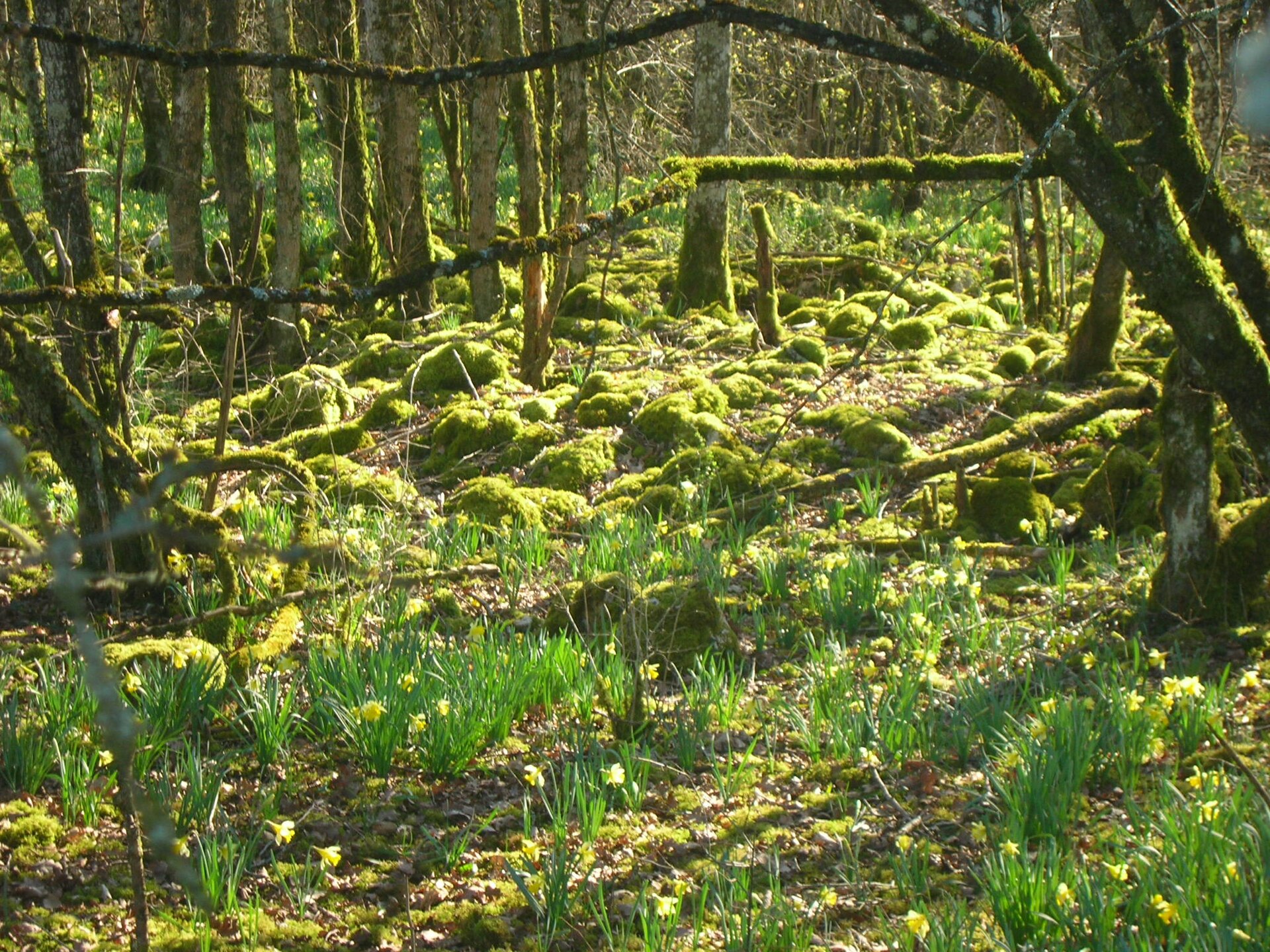
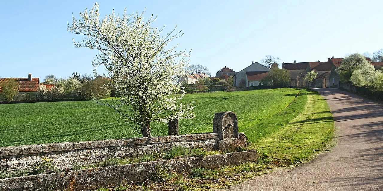
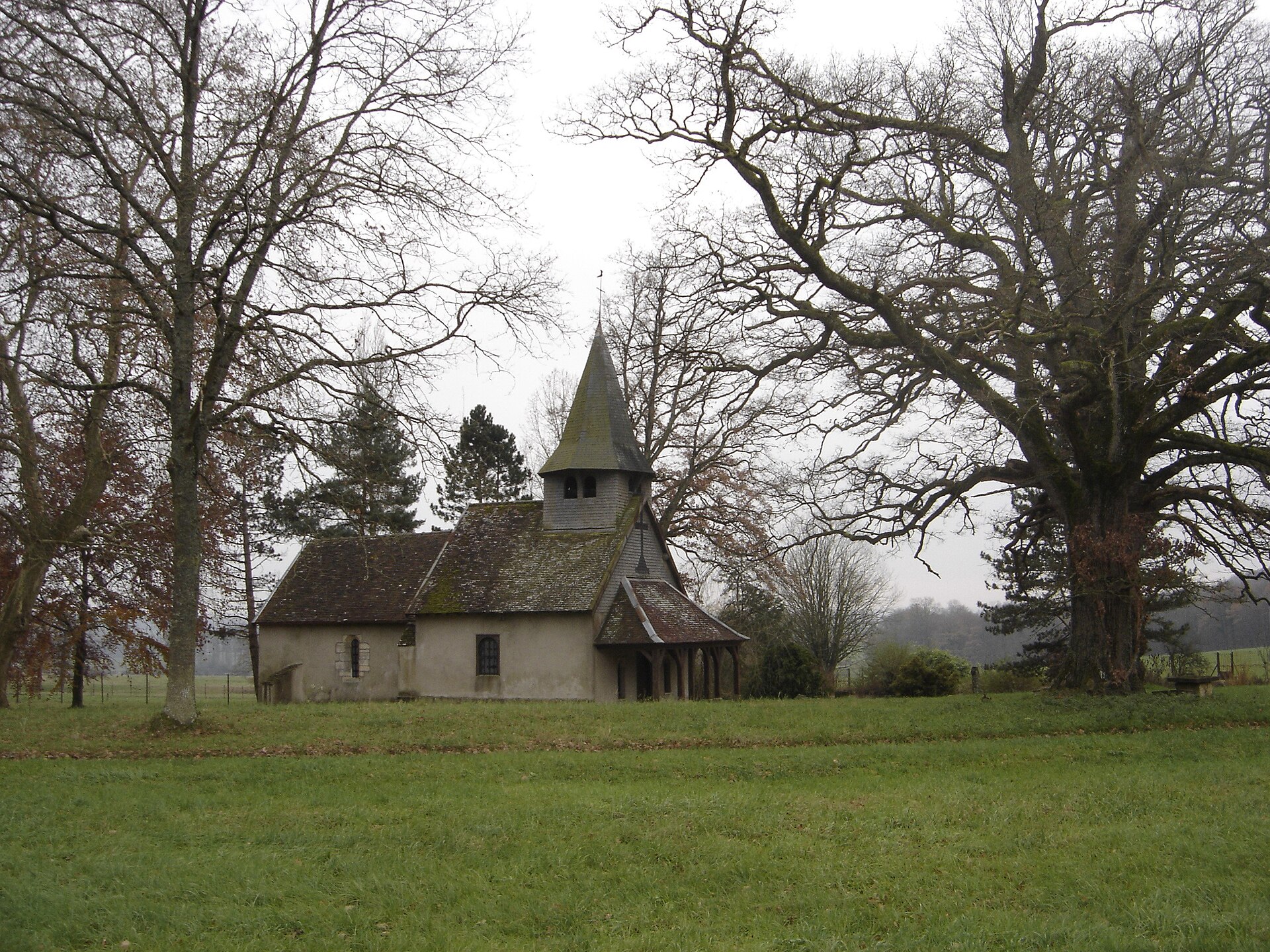
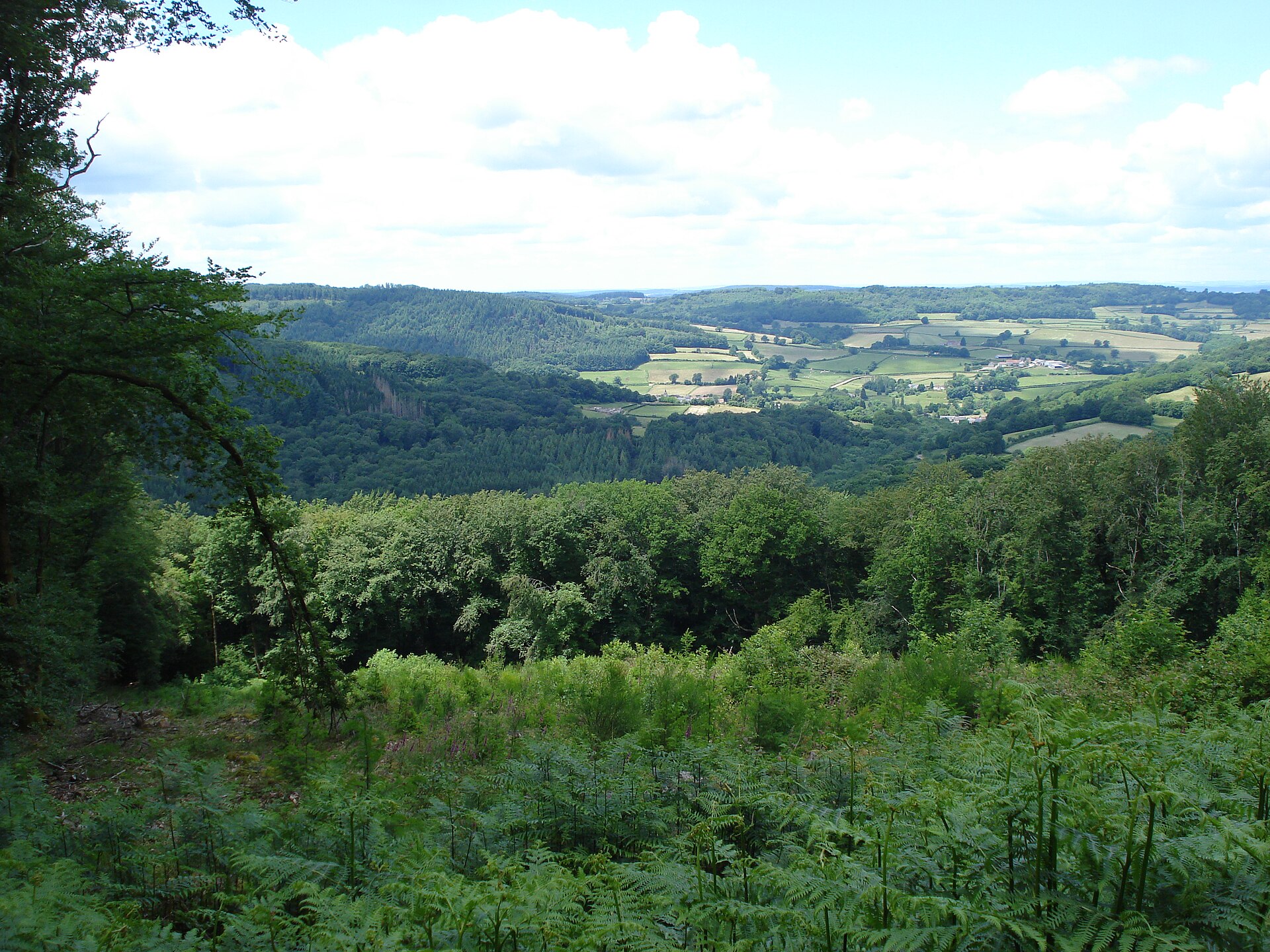
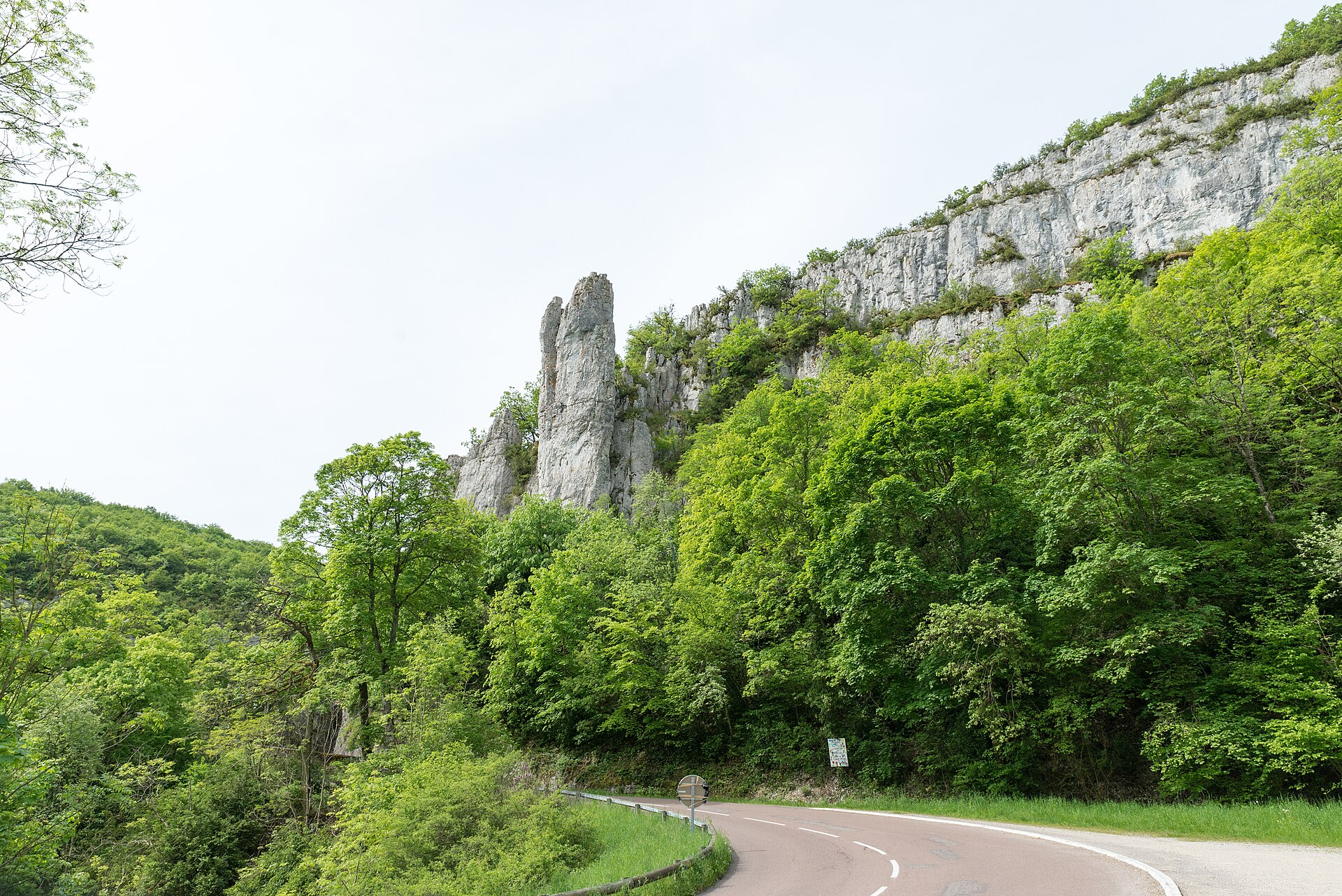
Illustrative photo · Bourgogne · © jefmo2monnot / Magnific
Overview
Nature reserve of 8 hectares in France, established in 1991.
Réserve biologique dirigée de Sèchebouteille is a nature reserve in France (Europe). It is a predominantly terrestrial area. Established in 1991, it covers about 8 hectares.
Protections and designations
Natura 2000 · habitats (SAC)
Natura 2000 · birds (SPA)
Protected as a nature reserve. International labels and designations: Natura 2000 network (2 sites). Key dates: established in 1991, first Natura 2000 site under the Birds Directive in 2006 and first Natura 2000 site under the Habitats Directive in 2014.
In our collections
Timeline
-
1991
Established
-
2006
First Natura 2000 site under the Birds Directive
-
2014
First Natura 2000 site under the Habitats Directive
Sources: Wikidata (CC0) for establishment and international labels; EEA Natura 2000 database (CC-BY 4.0) for site designation dates.
Frequently asked questions
Where is Réserve biologique dirigée de Sèchebouteille?
In France (Europe). Representative point: 47.7871° N, 4.8145° E.
How large is Réserve biologique dirigée de Sèchebouteille?
About 8 hectares. It is the 116th largest of the 121 nature reserves in France covered by Parkavela.
When was Réserve biologique dirigée de Sèchebouteille established?
In 1991.
What habitats and landscapes does Réserve biologique dirigée de Sèchebouteille include?
A terrestrial area, with forests.
What rocks lie beneath Réserve biologique dirigée de Sèchebouteille?
According to the BRGM's simplified lithological map, the bedrock consists mainly of limestones, marls and gypsum (100% of sampled points). These are mostly sedimentary rocks.
Which international labels apply to Réserve biologique dirigée de Sèchebouteille?
Natura 2000 network (2 sites).
When is the best time to visit Réserve biologique dirigée de Sèchebouteille?
Best time to visit: from June to October, with average temperatures of 11 to 20 °C and moderate rainfall.
What is the nearest large city to Réserve biologique dirigée de Sèchebouteille?
Nearest towns of over 50,000 people, as the crow flies: Dijon (53 km) and Troyes (78 km). Nearest airport: Dole–Jura (DLE), about 94 km away.
Which species can be seen in Réserve biologique dirigée de Sèchebouteille?
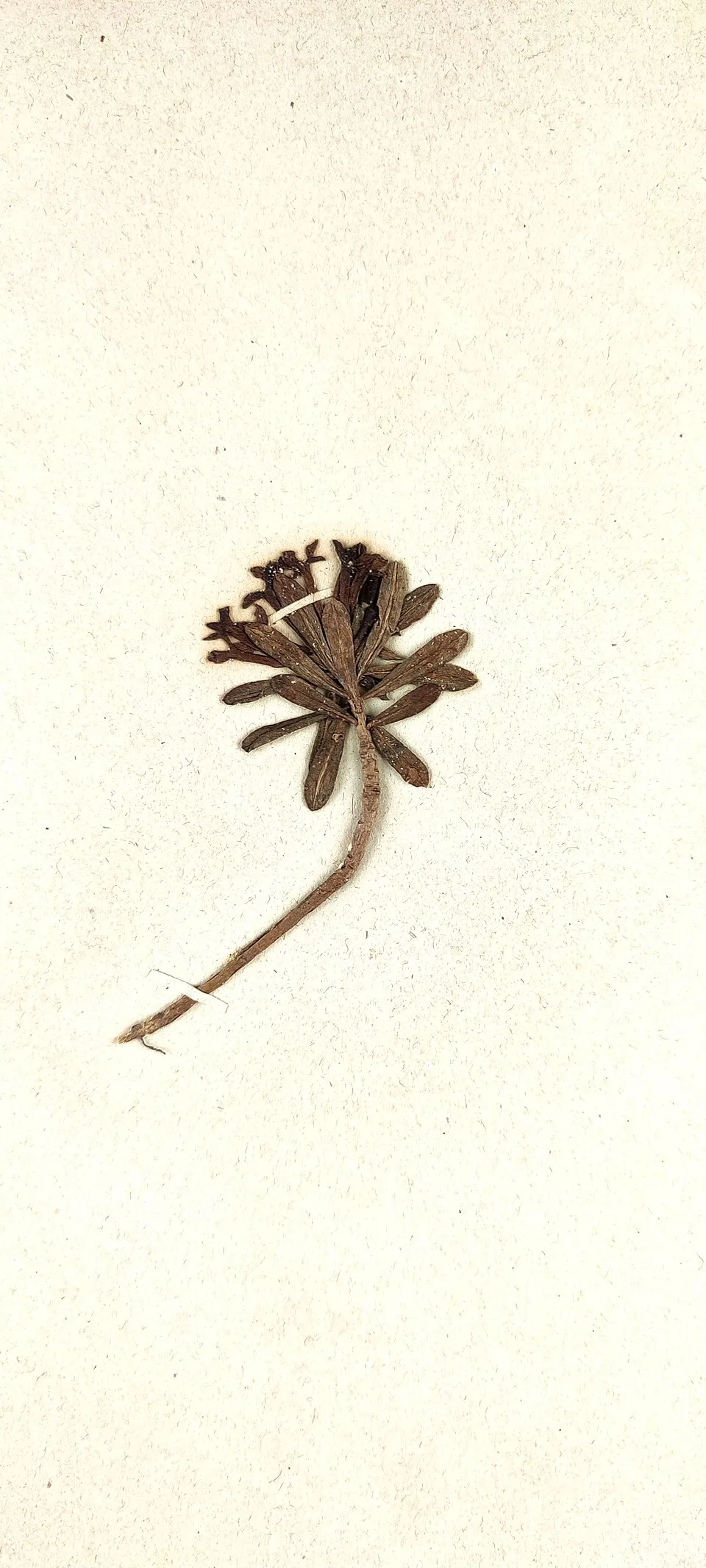
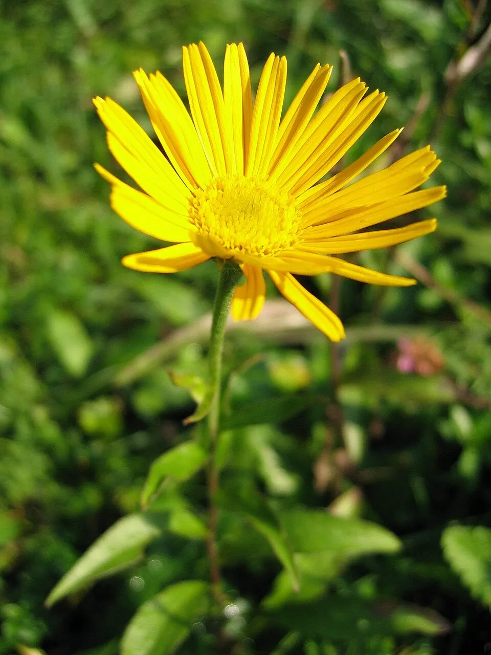
Among the species most often recorded on GBIF are Carlina acaulis (Stemless carline thistle), Daphne cneorum (Rose Daphne), Limodorum abortivum (Violet Limodore) and Buphthalmum salicifolium (Ox-eye).
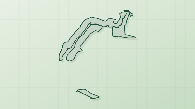
© OpenStreetMap
Download the boundary: GeoJSON · GPX Boundary © OpenStreetMap contributors (ODbL).
Geography
The representative point of the site lies at around 374 m above sea level. Over the 1996–2025 period, the mean annual temperature is about 10.7 °C and total precipitation reaches roughly 988 mm per year. The warmest month is usually July, the coolest January, and the wettest December. According to the BRGM's simplified lithological map, the bedrock consists mainly of limestones, marls and gypsum (100% of sampled points). These are mostly sedimentary rocks.
Area
- Area
- 8.3 ha
- Elevation
- 374 m
- Coordinates
- 47.7871, 4.8145
Bedrock
- Limestones, marls and gypsum 100 %
Sedimentary rocks 100 %
Source: BRGM, simplified lithological map at 1:1,000,000 (Licence Ouverte), 4 points sampled within the boundary.
Climate
● Mean temperature (°C) · ▮ Precipitation (mm)
Source: Copernicus ERA5-Land (C3S, doi:10.24381/cds.68d2bb30), monthly averages 1996–2025 interpolated to the representative point, temperatures adjusted for elevation.
Contains modified Copernicus Climate Change Service information 2026. Neither the European Commission nor ECMWF is responsible for any use that may be made of the Copernicus information or data it contains.
Natural habitats
According to CORINE Land Cover (2018), the site is mainly made up of forests (100%). Woodland is mostly coniferous. The 2 Natura 2000 sites overlapping the area list 15 habitats of European interest (5 priority), the most extensive being Medio-European limestone beech forests of the Cephalanthero-Fagion, Asperulo-Fagetum beech forests and Sub-Atlantic and medio-European oak or oak-hornbeam forests of the Carpinion betuli.
Biodiversity
Based on occurrences aggregated by GBIF, several species are regularly recorded within the site. Among the most frequent are Carlina acaulis (Stemless carline thistle), Daphne cneorum (Rose Daphne), Limodorum abortivum (Violet Limodore) and Buphthalmum salicifolium (Ox-eye). The full list of documented taxa is shown below. The overlapping Natura 2000 sites list 53 species of European interest: 18 birds, 18 mammals, 1 reptile, 3 amphibians, 11 invertebrates and 2 plants.
Habitats of European interest
From the official forms of the 2 Natura 2000 sites overlapping the area (areas reported for each whole site).
- Medio-European limestone beech forests of the Cephalanthero-Fagion 2,800 ha
- Asperulo-Fagetum beech forests 726 ha
- Sub-Atlantic and medio-European oak or oak-hornbeam forests of the Carpinion betuli 104 ha
- Alluvial forests with Alnus glutinosa and Fraxinus excelsior (Alno-Padion, Alnion incanae, Salicion albae) priority 17 ha
- Tilio-Acerion forests of slopes, screes and ravines priority 12 ha
- Semi-natural dry grasslands and scrubland facies on calcareous substrates (Festuco-Brometalia) (* important orchid sites) 7 ha
- Alkaline fens 4 ha
- Water courses of plain to montane levels with the Ranunculion fluitantis and Callitricho-Batrachion vegetation 3 ha
and 7 more
Species of European interest
Birds · 18
Boreal Owl (Aegolius funereus) resident, Common Kingfisher (Alcedo atthis) resident, Eurasian Eagle-owl (Bubo bubo) breeding, European Nightjar (Caprimulgus europaeus) breeding, Black Stork (Ciconia nigra) breeding, Western Marsh Harrier (Circus aeruginosus) breeding, Hen Harrier (Circus cyaneus) resident, Montagu's Harrier (Circus pygargus) breeding, Black Woodpecker (Dryocopus martius) resident, Booted Eagle (Hieraaetus pennatus) breeding, Red-backed Shrike (Lanius collurio) breeding, Middle spotted woodpecker (Leiopicus medius) resident and 6 more
Mammals · 18
Barbastelle (Barbastella barbastellus), Serotine bat (Eptesicus serotinus), European pine marten (Martes martes), Western Polecat (Mustela putorius), Alcathoe Whiskered Bat (Myotis alcathoe), Bechstein's bat (Myotis bechsteinii), Brandt's Bat (Myotis brandtii), Daubenton's Bat (Myotis daubentoni), Geoffroy's bat (Myotis emarginatus), Greater mouse-eared bat (Myotis myotis), Whiskered bat (Myotis mystacinus), Natterer's bat (Myotis nattereri) and 6 more
Reptiles · 1
Amphibians · 3
Midwife toad (Alytes obstetricans), Yellow-bellied toad (Bombina variegata), Agile frog (Rana dalmatina)
Invertebrates · 11
White-clawed Crayfish (Austropotamobius pallipes), Southern damselfly (Coenagrion mercuriale), Marsh fritillary (Euphydryas aurinia), Scarce Fritillary (Euphydryas maturna), Lilypad whiteface (Leucorrhinia caudalis), Woodland brown (Lopinga achine), Stag beetle (Lucanus cervus), Large copper (Lycaena dispar), Orange-spotted Emerald (Oxygastra curtisii), Narrow-mouthed whorl snail (Vertigo angustior), Desmoulin's whorl snail (Vertigo moulinsiana)
Other · 3
Spined loach (Cobitis taenia), European bullhead (Cottus gobio), European brook lamprey (Lampetra planeri)
Source: Natura 2000 standard data forms (EEA, CC-BY 4.0). Not exhaustive: sensitive species are not published.
Species to look out for

Observed species
Occurrences documented via GBIF; they are neither an exhaustive inventory nor proof of current presence.
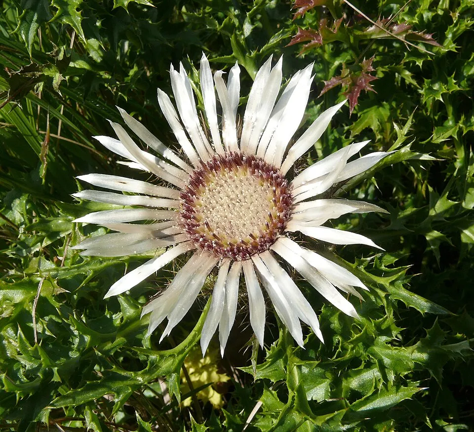
- Stemless carline thistle · Carlina acaulis · 5
- Rose Daphne · Daphne cneorum · 5
- Violet Limodore · Limodorum abortivum · 4
- Ox-eye · Buphthalmum salicifolium · 3
- Thesium alpinum · 3
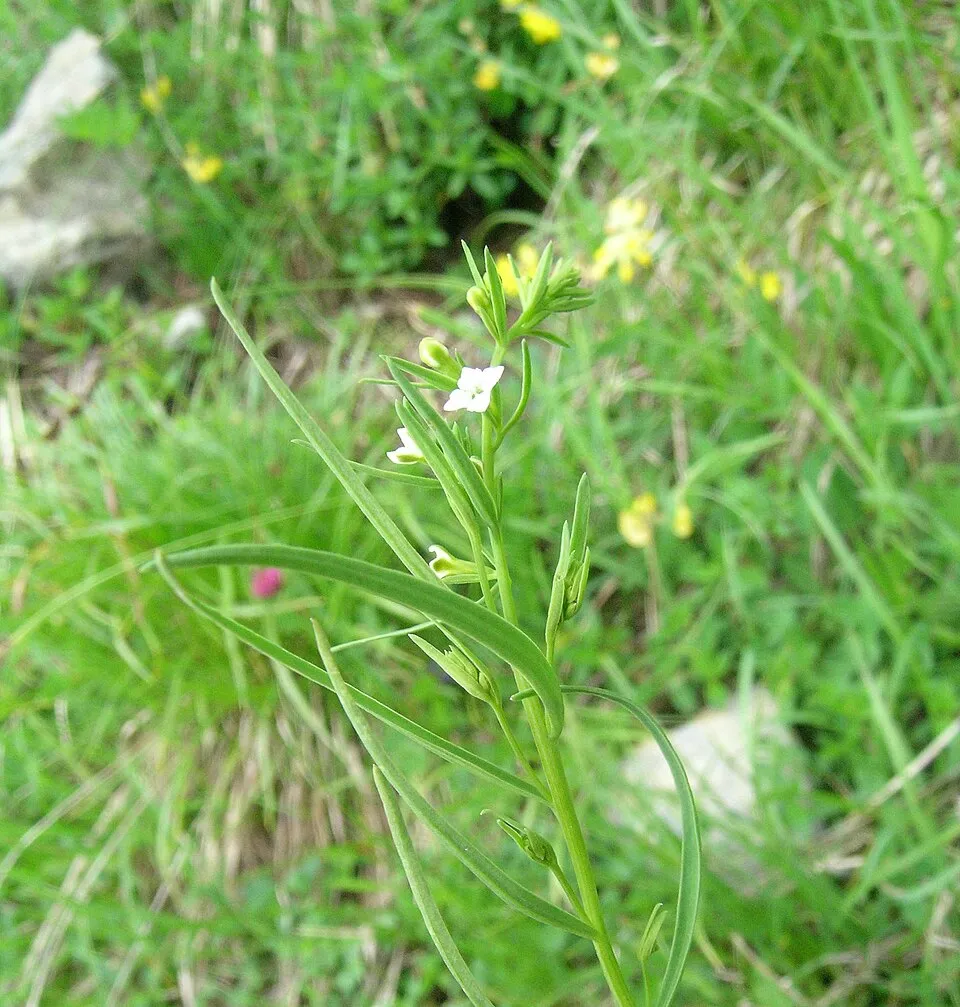
- Squinancywort · Cynanchica pyrenaica · 2
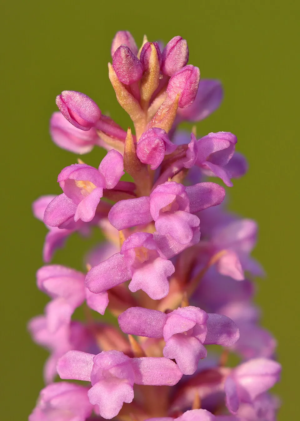
- Short spurred fragrant orchid · Gymnadenia odoratissima · 2
- Galium timeroyi · 2
- Great Yellow Gentian · Gentiana lutea · 2
- Coronilla minima · 2
- Cervaria rivini · 2
- Leafy spurge · Euphorbia esula · 2
+16 more species
- Leucobryum moss · Leucobryum glaucum · 1
- Bird's-foot Sedge · Carex ornithopoda · 1
- Sword-leaved helleborine · Cephalanthera longifolia · 1
- Dyer's Woodruff · Asperula tinctoria · 1
- Pasque Flower · Pulsatilla vulgaris · 1
- Carline thistle · Carlina vulgaris · 1
- Corymbflower tansy · Tanacetum corymbosum · 1
- Round-headed Rampion · Phyteuma orbiculare · 1
- Woodland brown · Lopinga achine · 1
- Scorpion-vetch · Coronilla coronata · 1
- Saw-wort · Serratula tinctoria · 1
- Hairy violet · Viola hirta · 1
- Teesdale violet · Viola rupestris · 1
- Helianthemum oelandicum · 1
- Helianthemum canum · 1
- Pentanema salicinum · 1
Records: GBIF.org (CC-BY). Names: Wikidata (CC0), GBIF. Photos: Wikimedia Commons.
Conservation challenges
The primary purpose of the site is to preserve its natural habitats and the biodiversity they support. The species recorded (Biodiversity tab) reflect its ecological value. The designations it holds frame its management and the control of land use.
At night, the area gives off virtually no artificial light detectable from space (NASA VIIRS Black Marble composite, 2016). According to the Natura 2000 forms, of 15 assessed habitats of European interest, 5 are in average or reduced condition and the rest in good condition.
Pressure indicators
Fires since 2016
0
No large fire mapped (fires over about 30 ha)
Light at night
0%
of the area gives off artificial light visible from space
DarkLit
Sources: Global Forest Change (Hansen et al., University of Maryland, via Global Forest Watch, CC-BY 4.0); EFFIS, European Commission / Copernicus; NASA Black Marble 2016 (public domain); CORINE Land Cover 2018 (Copernicus) or MODIS.
Practical information
Cities and airport
- Dijon
53 km as the crow flies - Troyes
78 km as the crow flies - Airport: Dole–Jura (DLE)
94 km as the crow flies
Data © OpenStreetMap contributors (ODbL) · Wikidata (CC0)
Access and visiting
Nearest towns of over 50,000 people, as the crow flies: Dijon (53 km) and Troyes (78 km). Nearest airport: Dole–Jura (DLE), about 94 km away. About 13,000 people live within 20 km of the site boundary, 2,000 of them within 10 km (GHSL estimate, 2020). This population has fallen by about 19% since 2000. To plan a visit (access, opening periods, visitor rules), it is best to consult the official information from the managing body and the official website listed in this page's sources.
Source: OpenStreetMap (ODbL), Wikidata (CC0), October 2026.
When to visit
Best time to visit: from June to October, with average temperatures of 11 to 20 °C and moderate rainfall. Day length ranges from about 8 h 25 min in December to 15 h 59 min in June.
Source: Copernicus ERA5-Land (C3S), monthly averages 1996–2025 at the representative point, temperatures adjusted for elevation.
Contains modified Copernicus Climate Change Service information 2026. Neither the European Commission nor ECMWF is responsible for any use that may be made of the Copernicus information or data it contains.
Gallery
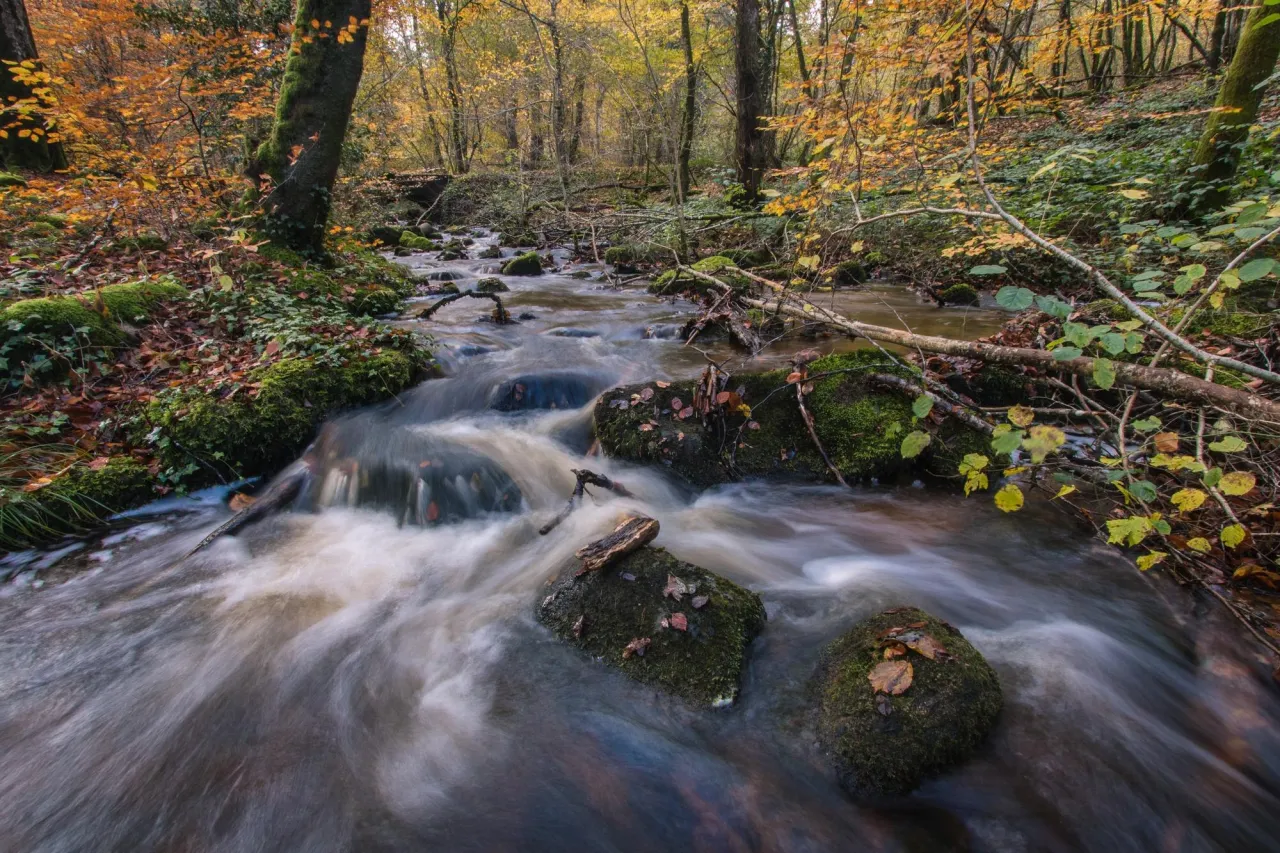
© jefmo2monnot / Magnific
Sources and licences
- Wikidata: Q65953755
- OpenStreetMap: relation 1178116
- WDPA: 62826
References
- cds.climate.copernicus.eu: climate · CC-BY-4.0
- registry.opendata.aws: elevation of the reference point, detailed relief · PD
- land.copernicus.eu: land cover, land cover change, sea share · COPERNICUS
- doi.org: population around the site · CC-BY-4.0
- wikidata.org: official area, establishment date, official name, nearby cities and airport, access and peaks, lake depths, places to see · CC0-1.0
- eea.europa.eu: bathing water quality, ecological status of waters · CC-BY-4.0
- en.eurovelo.com: EuroVelo cycle routes · ODbL-1.0
- cycling.waymarkedtrails.org: cycle routes · ODbL-1.0
- opentopodata.org: elevations · PD
- forest-fire.emergency.copernicus.eu: wildfires · COPERNICUS
- globalforestwatch.org: tree cover loss · CC-BY-4.0
- gbif.org: seasonality of sightings, invasive alien species, observed species · CC-BY-4.0
- infoterre.brgm.fr: geology · LO-2.0
- pop.culture.gouv.fr: protected heritage · LO-2.0
- hydrosheds.org: lakes · CC-BY-4.0
- natura2000.eea.europa.eu: Natura 2000 habitats and species · CC-BY-4.0
- earthobservatory.nasa.gov: night light · PD
- openstreetmap.org: access and peaks, places to see · ODbL-1.0
- nsidc.org: snow cover · PD
Data © OpenStreetMap contributors (ODbL), Wikidata (CC0) and the sources cited.