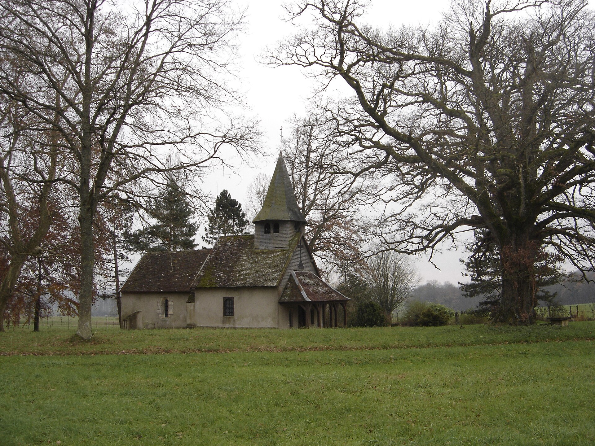

France · Terrestrial
Orient Forest Regional Natural Park
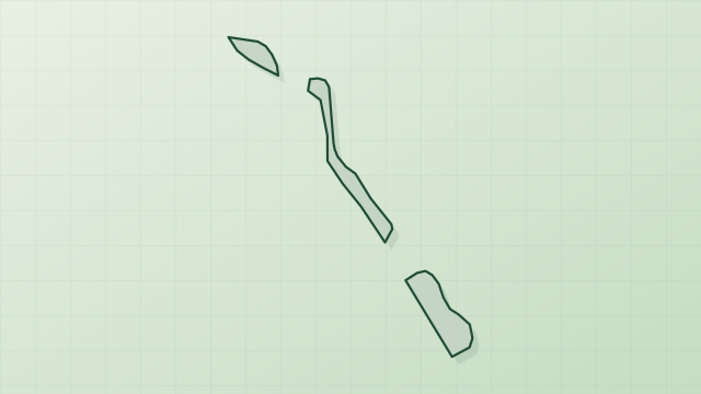
Regional nature park of 81,947 hectares in France, established in 1970.
Overview
Regional nature park of 81,947 hectares in France, established in 1970.
Orient Forest Regional Natural Park is a regional nature park in France (Europe). It is a predominantly terrestrial area. Established in 1970, it covers about 81,947 hectares.
Protections and designations
Natura 2000 · habitats (SAC) · 7 sites
- Camp militaire du bois d'Ajou FR2100311
- Carrières souterraines d'Arsonval FR2100339
- Forêt d'Orient FR2100305
- Forêts et clairières des bas-bois FR2100309
- Pelouse des brebis à Brienne-la-vieille FR2100253
- Prairies de Courteranges FR2100290
- and 1 more
Natura 2000 · birds (SPA) · 2 sites
Protected as a regional nature park. International labels and designations: Natura 2000 network (9 sites). Key dates: established in 1970, first Natura 2000 site under the Birds Directive in 2003 and first Natura 2000 site under the Habitats Directive in 2008.
In our collections
Timeline
-
1970
Established
-
2003
First Natura 2000 site under the Birds Directive 2 such sites designated up to 2005
-
2008
First Natura 2000 site under the Habitats Directive 7 such sites designated up to 2013
Sources: Wikidata (CC0) for establishment and international labels; EEA Natura 2000 database (CC-BY 4.0) for site designation dates.
Frequently asked questions
Where is Orient Forest Regional Natural Park?
In France (Europe). Representative point: 48.3218° N, 4.4131° E.
How large is Orient Forest Regional Natural Park?
About 81,947 hectares (819 km²). It is the 45th largest of the 59 regional parks in France covered by Parkavela.
When was Orient Forest Regional Natural Park established?
In 1970.
What habitats and landscapes does Orient Forest Regional Natural Park include?
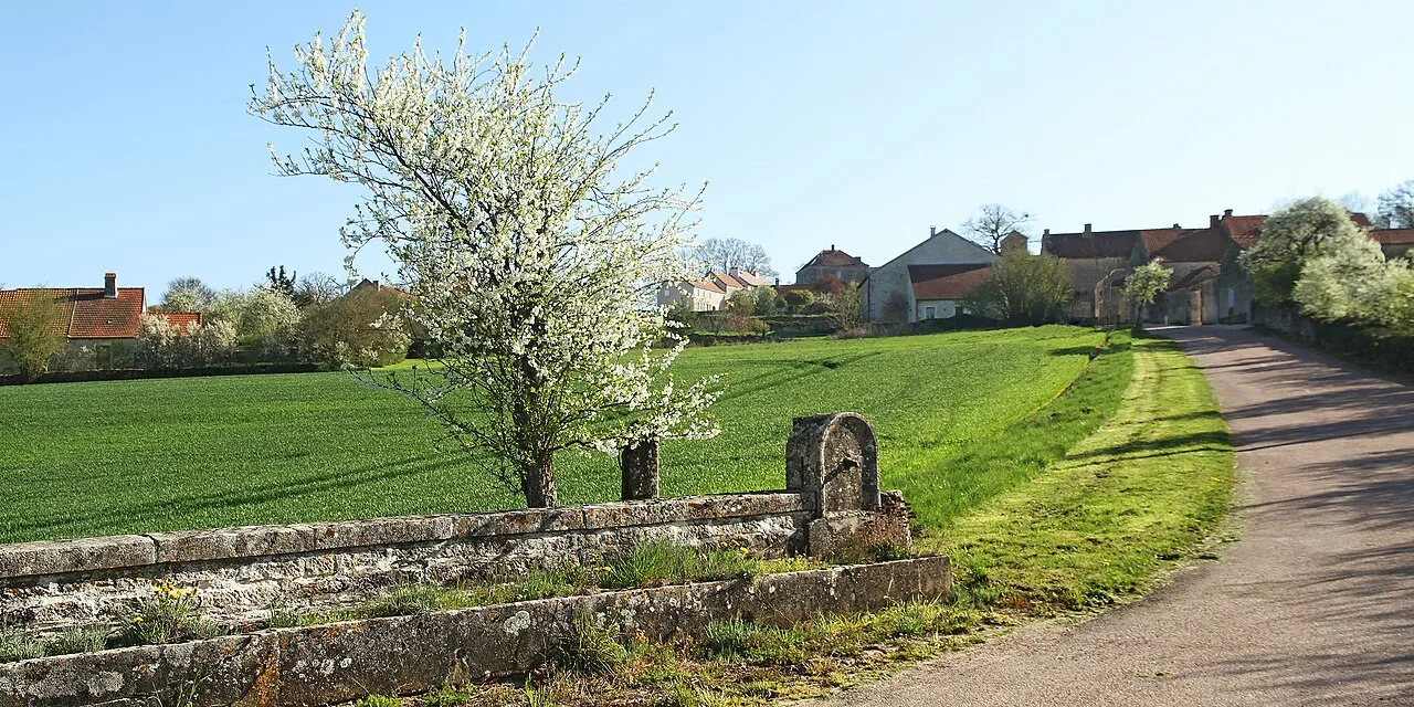
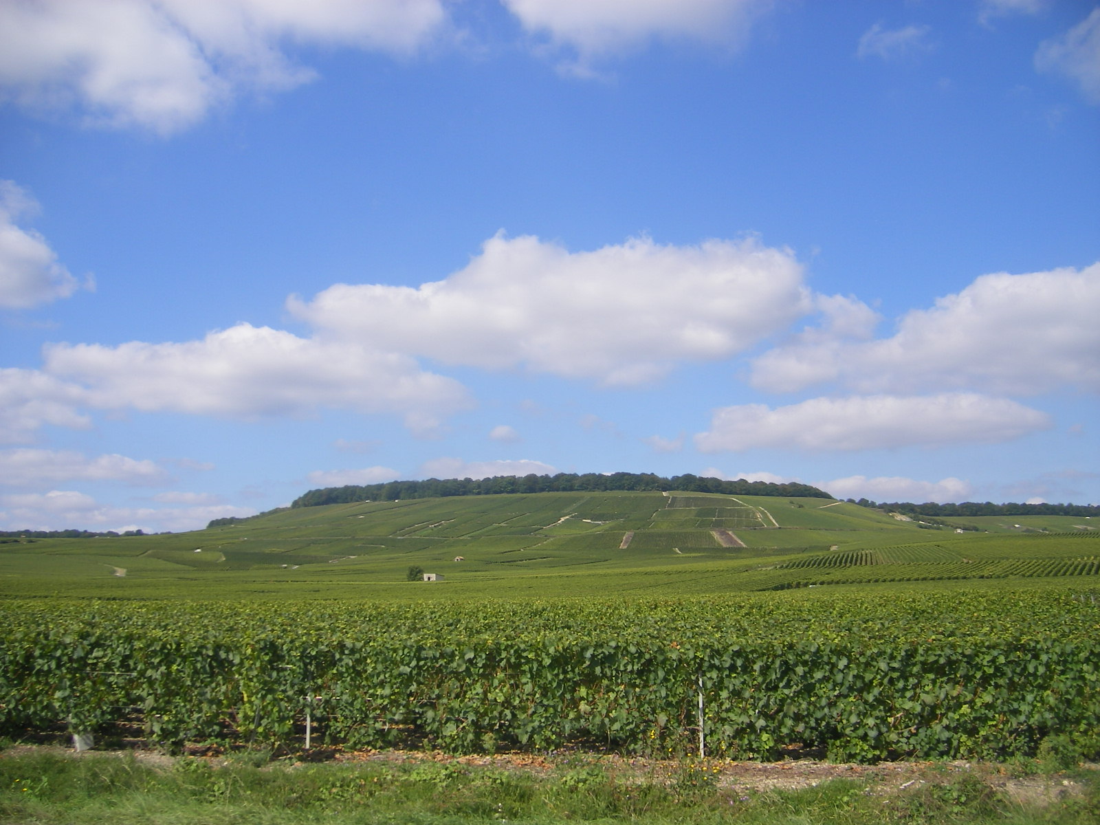
A terrestrial area, where land cover is dominated by farmland (57%).
What rocks lie beneath Orient Forest Regional Natural Park?
According to the BRGM's simplified lithological map, the bedrock consists mainly of clays (75% of sampled points) and chalk (19%). These are mostly sedimentary rocks.
Which international labels apply to Orient Forest Regional Natural Park?
Natura 2000 network (9 sites).
When is the best time to visit Orient Forest Regional Natural Park?
Best time to visit: from April to October, with average temperatures of 10 to 20 °C and moderate rainfall.
What is there to see in Orient Forest Regional Natural Park?
9 viewpoints, 44 lakes and ponds and 4 bird hides, including Point de vue du Croît, Grand Étang, Observatoire de Radonvilliers and La Prise d'Eau (OpenStreetMap).
Where can I stay in Orient Forest Regional Natural Park?
16 campsites, including Aire aménagée camping car de Mesnil Saint-Père, Aire aménagée pour Camping Car de Piney and Aire de grand passage de Thennelières (OpenStreetMap).
Are there historic monuments in Orient Forest Regional Natural Park?
Yes. According to the French Ministry of Culture's Mérimée database, 62 historic monuments stand within the boundary, 21 of them with the highest level of protection (classé). For example: “Église Notre-Dame-de-l'Assomption” in Montiéramey, “Château” in Vendeuvre-sur-Barse and “Ecole militaire” in Brienne-le-Château.
Can you swim in Orient Forest Regional Natural Park?
5 monitored bathing sites lie in or within 1 km of the site; official 2025 classification: 4 excellent and 1 good (European Environment Agency). Swimming is only permitted at the sites and times authorised locally.
What is the nearest large city to Orient Forest Regional Natural Park?
Nearest towns of over 50,000 people, as the crow flies: Troyes (6 km) and Reims (94 km). Nearest airport: Châlons Vatry (XCR), about 38 km away.
How can I reach Orient Forest Regional Natural Park by train?
Vendeuvre-sur-Barse railway station lies within the site.
Where can I get visitor information on site?
Maison du Parc, Maison des lacs and Office de Tourisme de Brienne-le-Château.
Are there waymarked hiking trails in Orient Forest Regional Natural Park?
Yes. Waymarked hiking routes listed in OpenStreetMap: 21, including GR 145, Voie de Vézelay, Brienne, Voie de Vézelay, Vitry-en-Perthois and Tour des Deux Bar. The GR 145 · Via Francigena France 03, Reims - Clairvaux route runs for about 46 km through the site, with some 360 m of ascent on its longest section.
Which species can be seen in Orient Forest Regional Natural Park?
Among the species most often recorded on GBIF are Turdus merula (Common Blackbird), Fringilla coelebs (Eurasian Chaffinch), Rutilus rutilus (Roach) and Parus major (Great tit).
What is the official website of Orient Forest Regional Natural Park?
© OpenStreetMap
Download the boundary: GeoJSON · GPX Boundary © OpenStreetMap contributors (ODbL).
Geography
The representative point of the site lies at around 130 m above sea level. Over the 1996–2025 period, the mean annual temperature is about 11.7 °C and total precipitation reaches roughly 883 mm per year. The warmest month is usually July, the coolest January, and the wettest December. According to the BRGM's simplified lithological map, the bedrock consists mainly of clays (75% of sampled points) and chalk (19%). These are mostly sedimentary rocks. The site contains 7 lakes larger than 10 ha, totalling 37.9 km² of water; the largest, lac d'Orient, covers 18.0 km² (HydroLAKES). lac d'Orient (2,300 ha) is 18.7 m deep (Wikidata).
Area
- Area
- 81,947 ha
- Elevation
- 130 m
- Lakes over 10 ha
- 7 (37.9 km²)
- Coordinates
- 48.3218, 4.4131
Lakes: HydroLAKES (Messager et al. 2016, hydrosheds.org, CC BY 4.0) · depths: Wikidata (CC0)
Bedrock
- Clays 75 %
- Chalk 19 %
- Limestones, marls and gypsum 6 %
Sedimentary rocks 100 %
Source: BRGM, simplified lithological map at 1:1,000,000 (Licence Ouverte), 16 points sampled within the boundary.
Climate
● Mean temperature (°C) · ▮ Precipitation (mm)
Source: Copernicus ERA5-Land (C3S, doi:10.24381/cds.68d2bb30), monthly averages 1996–2025 interpolated to the representative point, temperatures adjusted for elevation.
Contains modified Copernicus Climate Change Service information 2026. Neither the European Commission nor ECMWF is responsible for any use that may be made of the Copernicus information or data it contains.
Natural habitats
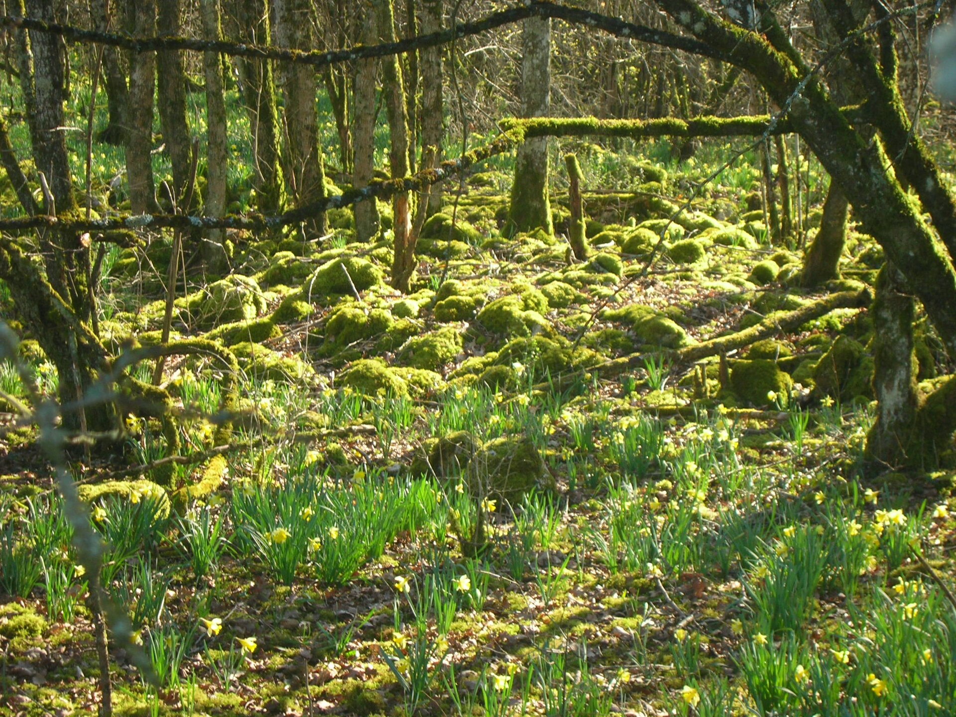
According to CORINE Land Cover (2018), the site is mainly made up of farmland (57%), forests (25%) and grassland and meadows (7%). Woodland is mostly broadleaved. Elevation ranges from about 110 to 240 m (sampled elevations, SRTM). The 9 Natura 2000 sites overlapping the area list 11 habitats of European interest (2 priority), the most extensive being Sub-Atlantic and medio-European oak or oak-hornbeam forests of the Carpinion betuli, lowland hay meadows (Alopecurus pratensis, Sanguisorba officinalis) and alluvial forests with Alnus glutinosa and Fraxinus excelsior (Alno-Padion, Alnion incanae, Salicion albae).
Biodiversity
Based on occurrences aggregated by GBIF, several species are regularly recorded within the site. Among the most frequent are Turdus merula (Common Blackbird), Fringilla coelebs (Eurasian Chaffinch), Rutilus rutilus (Roach) and Parus major (Great tit). The full list of documented taxa is shown below. The overlapping Natura 2000 sites list 154 species of European interest: 119 birds, 17 mammals, 3 reptiles, 5 amphibians, 2 fish and 8 invertebrates.
Habitats of European interest
From the official forms of the 9 Natura 2000 sites overlapping the area (areas reported for each whole site).
- Sub-Atlantic and medio-European oak or oak-hornbeam forests of the Carpinion betuli 3,376 ha
- Lowland hay meadows (Alopecurus pratensis, Sanguisorba officinalis) 307 ha
- Alluvial forests with Alnus glutinosa and Fraxinus excelsior (Alno-Padion, Alnion incanae, Salicion albae) priority 262 ha
- Hydrophilous tall herb fringe communities of plains and of the montane to alpine levels 86 ha
- Water courses of plain to montane levels with the Ranunculion fluitantis and Callitricho-Batrachion vegetation 34 ha
- Semi-natural dry grasslands and scrubland facies on calcareous substrates (Festuco-Brometalia) (* important orchid sites) 12 ha
- Molinia meadows on calcareous, peaty or clayey-silt-laden soils (Molinion caeruleae) 5 ha
- Alluvial meadows of river valleys of the Cnidion dubii 2 ha
and 3 more
Species of European interest
Birds · 119
Common Sandpiper (Actitis hypoleucos) passage wintering, Common Kingfisher (Alcedo atthis) wintering resident breeding passage, Northern Pintail (Anas acuta) passage wintering, Eurasian Teal (Anas crecca) passage wintering breeding, Mallard (Anas platyrhynchos) passage wintering breeding, Greater white-fronted goose (Anser albifrons) passage wintering, Greylag Goose (Anser anser) wintering passage, Taiga bean goose (Anser fabalis) passage wintering, Great Egret (Ardea alba) passage wintering, Grey Heron (Ardea cinerea) passage breeding wintering, Purple Heron (Ardea purpurea) passage breeding, Squacco Heron (Ardeola ralloides) passage and 107 more
Mammals · 17
Barbastelle (Barbastella barbastellus), Eurasian otter (Lutra lutra), European pine marten (Martes martes), Western Polecat (Mustela putorius), Alcathoe Whiskered Bat (Myotis alcathoe), Bechstein's bat (Myotis bechsteinii), Brandt's Bat (Myotis brandtii), Daubenton's bat (Myotis daubentonii), Geoffroy's bat (Myotis emarginatus), Greater mouse-eared bat (Myotis myotis), Lesser noctule (Nyctalus leisleri), Nathusius's pipistrelle (Pipistrellus nathusii) and 5 more
Reptiles · 3
Smooth snake (Coronella austriaca), Sand lizard (Lacerta agilis), Common wall lizard (Podarcis muralis)
Amphibians · 5
Yellow-bellied toad (Bombina variegata), Common tree frog (Hyla arborea), Agile frog (Rana dalmatina), Common frog (Rana temporaria), Great crested newt (Triturus cristatus)
Invertebrates · 8
Southern damselfly (Coenagrion mercuriale), Marsh fritillary (Euphydryas aurinia), Lilypad whiteface (Leucorrhinia caudalis), Stag beetle (Lucanus cervus), Large copper (Lycaena dispar), Orange-spotted Emerald (Oxygastra curtisii), Narrow-mouthed whorl snail (Vertigo angustior), Desmoulin's whorl snail (Vertigo moulinsiana)
Other · 3
European bullhead (Cottus gobio), Common Bullhead (Cottus perifretum), European brook lamprey (Lampetra planeri)
Source: Natura 2000 standard data forms (EEA, CC-BY 4.0). Not exhaustive: sensitive species are not published.
Species to look out for


Observed species
Occurrences documented via GBIF; they are neither an exhaustive inventory nor proof of current presence.
- Common Blackbird · Turdus merula · 2477
- Eurasian Chaffinch · Fringilla coelebs · 2388
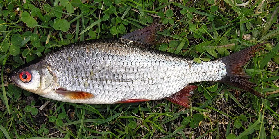
- Roach · Rutilus rutilus · 2211
- Great tit · Parus major · 2039
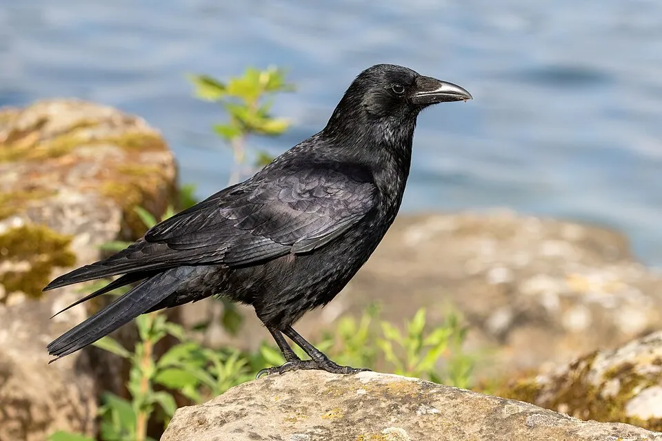
- Carrion crow · Corvus corone · 1964
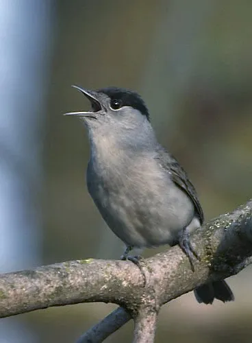
- Eurasian Blackcap · Sylvia atricapilla · 1947
- European bullhead · Cottus gobio · 1744
- Common Wood Pigeon · Columba palumbus · 1633
- Eurasian blue tit · Cyanistes caeruleus · 1615
- Chub · Squalius cephalus · 1577
- Common Chiffchaff · Phylloscopus collybita · 1574
- Eurasian Skylark · Alauda arvensis · 1535
+18 more species
- European robin · Erithacus rubecula · 1528
- Common Starling · Sturnus vulgaris · 1513
- Common minnow · Phoxinus phoxinus · 1506
- Common Crane · Grus grus · 1486
- Eurasian Wren · Troglodytes troglodytes · 1356
- Common dace · Leuciscus leuciscus · 1294
- Silver Bream · Blicca bjoerkna · 1234
- Common Ivy · Hedera helix · 1181
- Great Spotted Woodpecker · Dendrocopos major · 1150
- Short-toed Treecreeper · Certhia brachydactyla · 1118
- European perch · Perca fluviatilis · 1087
- Hawthorn · Crataegus monogyna · 1071
- Hazel · Corylus avellana · 1069
- Mallard · Anas platyrhynchos · 1064
- House Sparrow · Passer domesticus · 1040
- Pedunculate Oak · Quercus robur · 1007
- Common Buzzard · Buteo buteo · 1005
- European ash · Fraxinus excelsior · 987
Records: GBIF.org (CC-BY). Names: Wikidata (CC0), GBIF. Photos: Wikimedia Commons.
Conservation challenges
The primary purpose of the site is to preserve its natural habitats and the biodiversity they support. The species recorded (Biodiversity tab) reflect its ecological value. The designations it holds frame its management and the control of land use.
According to Global Forest Change data (University of Maryland, Global Forest Watch), about 942 ha of tree cover were lost within the boundary between 2001 and 2023 (1% of its area), peaking in 2008 and 2019. These losses include logging, storms and fires, and do not account for regrowth. According to the European CORINE Land Cover inventory (Copernicus), land cover changed on about 764 ha of the site between 1990 and 2018 (under 1% of its area): built-up land grew by 530 ha, mostly at the expense of farmland, while farmland shrank by 524 ha, mostly giving way to built-up land. At night, 3% of the area gives off artificial light detectable from space (NASA VIIRS Black Marble composite, 2016). Built-up and developed land (buildings, business areas, roads, quarries) covers 5% of the area, and farmland 57% (CORINE Land Cover). According to the Natura 2000 forms, of 11 assessed habitats of European interest, 3 are in average or reduced condition and the rest in good condition. According to the Water Framework Directive assessment (2022 river basin management plans, data 2012–2017), only 23% of the 235 km of rivers assessed within the site are in good or high ecological status; the others mostly have moderate ecological status. Other assessed water bodies: lakes, 0 of 3 in good ecological status or better. Since 2000, 71 invasive alien species have been recorded within the site (GBIF observations), 19 of them listed as of Union concern under EU Regulation 1143/2014. Among them: Reynoutria japonica (Japanese Knotweed), Lepomis gibbosus (Pumpkinseed) and Myocastor coypus (Coypu).
Pressure indicators
Tree cover lost
942 ha
2001–2023 · 1% of the area
20012023
Fires since 2016
0
No large fire mapped (fires over about 30 ha)
Light at night
3%
of the area gives off artificial light visible from space
DarkLit
Built-up land
5%
buildings, business areas, roads, quarries · farmland 57%
Land cover change
764 ha
changed cover, 1990–2018 · CORINE · < 1% of the area
- +530 ha · built-up land
- −524 ha · farmland
Rivers and lakes
23%
of the 235 km of assessed rivers in good or high ecological status · WFD 2022
Lakes: 0 of 3 good or better
assessments 2012–2017
Invasive alien species
71
incl. 19 of EU concern · since 2000
 Japanese KnotweedEU
 PumpkinseedEU
 CoypuEU
 Egyptian GooseEU
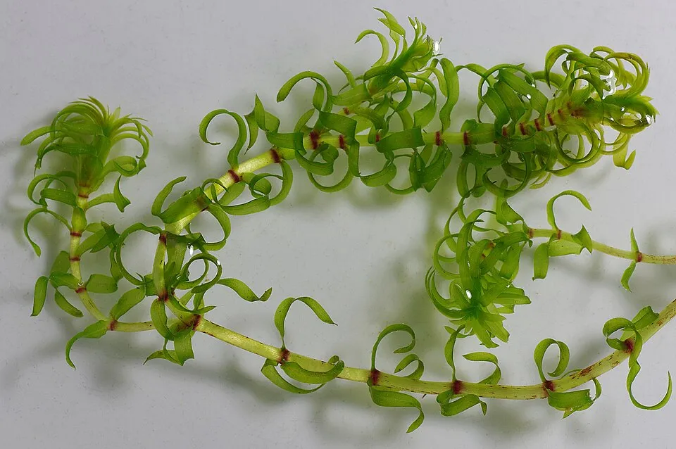 Western waterweedEU
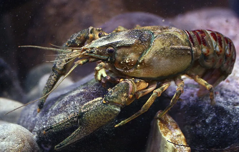 Spinycheek crayfishEU
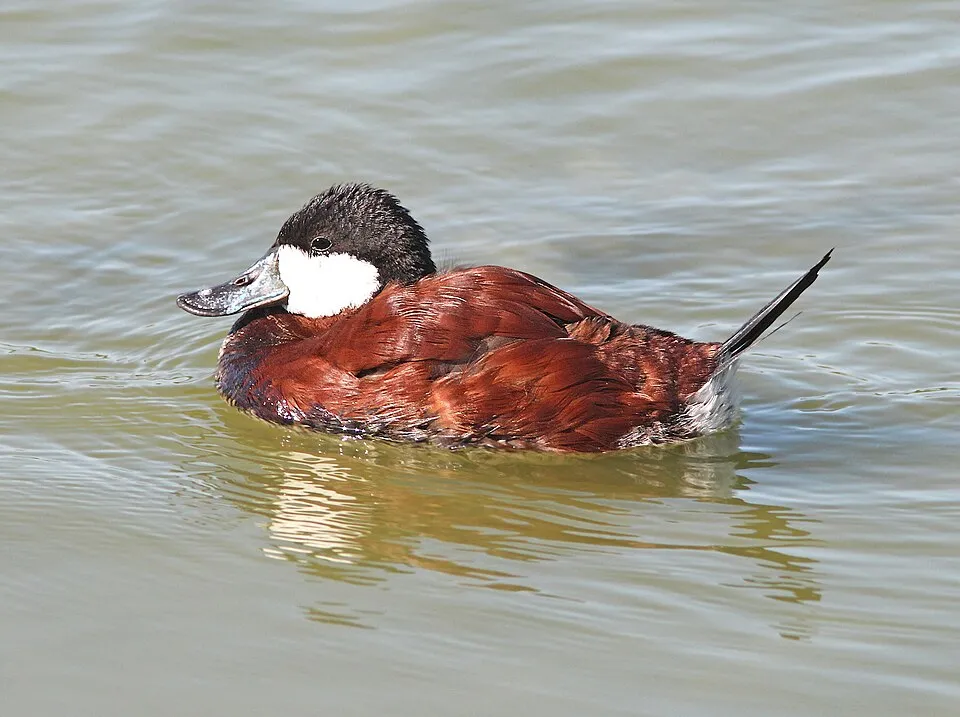 Ruddy DuckEU
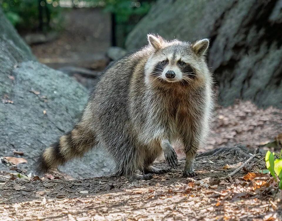 RaccoonEU
Photos: Japanese Knotweed © W.carter · CC0-1.0; Pumpkinseed © Cephas · CC BY-SA 3.0; Coypu © Philippe Amelant · CC BY-SA 3.0; Egyptian Goose © Rhododendrites · CC BY-SA 4.0; Western waterweed © Christian Fischer · CC BY-SA 3.0; Spinycheek crayfish © Astacoides · CC BY-SA 3.0; Ruddy Duck © ALAN SCHMIERER · CC0-1.0; Raccoon © Rhododendrites · CC BY-SA 4.0
Sources: Global Forest Change (Hansen et al., University of Maryland, via Global Forest Watch, CC-BY 4.0); EFFIS, European Commission / Copernicus; NASA Black Marble 2016 (public domain); CORINE Land Cover 2018 (Copernicus) or MODIS.
CORINE Land Cover Change 1990–2018: generated using European Union's Copernicus Land Monitoring Service information (EEA), aggregated by Parkavela; DOI 10.2909/f30f1000-7cf8-43bb-872c-5eb093911b24.
Ecological status of water bodies: European Environment Agency, WISE – Water Framework Directive, 3rd river basin management plans (2022), CC BY 4.0. Official national classification, not comparable between countries.
Invasive alien species: Global Register of Introduced and Invasive Species (ISSG, CC BY 4.0); Union list, Regulation (EU) 1143/2014 (INBO, CC0); GBIF.org records (CC0 / CC BY 4.0), at least 2 per species.
Practical information
Cities and airport
- Troyes
6 km as the crow flies - Reims
94 km as the crow flies - Airport: Châlons Vatry (XCR)
38 km as the crow flies
Visitor information
- Maison du Parc
within the site - Maison des lacs
within the site - Office de Tourisme de Brienne-le-Château
within the site
Things to see
9 viewpoints · 44 lakes and ponds · 4 bird hides
- Point de vue du Croît
viewpoint - Grand Étang
lake or pond - Observatoire de Radonvilliers
bird hide - La Prise d'Eau
lake or pond - Observatoire de Valois
bird hide
Where to stay
16 campsites
- Aire aménagée camping car de Mesnil Saint-Père
campsite - Aire aménagée pour Camping Car de Piney
campsite - Aire de grand passage de Thennelières
campsite - Aux Rives du Lac
campsite - Base de Loisirs Départementale
campsite
Hiking
21 waymarked routes listed, including:
GR 145Voie de Vézelay, BrienneVoie de Vézelay, Vitry-en-PerthoisTour des Deux BarTour des Lacs
By bike
V56 Saint-Jacques à vélo, via Vézelay · 38 kmV505 Vélovoie des Lacs · 35 kmVéloroute de Dienville à Colombey-les-deux-Eglises · 14 km
Signed cycle routes: this does not mean that cycling is allowed on footpaths.
Data © OpenStreetMap contributors (ODbL) · Wikidata (CC0)
Routes © OpenStreetMap contributors (ODbL), via Waymarked Trails
Waymarked hiking routes
GR 145 Via Francigena France 03, Reims - Clairvaux
46.4 km within the site ↗ 360 m↘ 215 m 105–253 m
Voie de Vézelay, Vitry-en-Perthois - Brienne
17.1 km within the site ↗ 82 m↘ 49 m 105–166 m
Tracks © OpenStreetMap contributors (ODbL), clipped to the boundary; elevation gain and profiles computed on the longest section from Mapzen Terrain Tiles (≈ 30 m), indicative only.
Bathing
5 monitored bathing sites in or within 1 km of the site · 2025 classification
Excellent · 4
Good · 1
- Dienville · lake · Excellent
- Geraudot · lake · Excellent
- Lusigny sur Barse · lake · Excellent
- Mesnil Saint Père · lake · Excellent
- Chappes · river · Good
Source: European Environment Agency, official bathing water classification (Directive 2006/7/EC, CC-BY 4.0). Swimming is only permitted at the sites and times authorised locally.
Access and visiting
Vendeuvre-sur-Barse railway station lies within the site. Nearest towns of over 50,000 people, as the crow flies: Troyes (6 km) and Reims (94 km). Nearest airport: Châlons Vatry (XCR), about 38 km away. About 230,000 people live within 20 km of the site boundary, 170,000 of them within 10 km; some 25,000 people are estimated to live inside (GHSL estimate, 2020). This population has grown by about 5% since 2000. Visitor information on site: Maison du Parc, Maison des lacs and Office de Tourisme de Brienne-le-Château. Waymarked hiking routes listed in OpenStreetMap: 21, including GR 145, Voie de Vézelay, Brienne, Voie de Vézelay, Vitry-en-Perthois and Tour des Deux Bar. The site is crossed by 3 signed cycle routes, including “V56 Saint-Jacques à vélo, via Vézelay” and “V505 Vélovoie des Lacs” (OpenStreetMap). To see: 9 viewpoints, 44 lakes and ponds and 4 bird hides, including Point de vue du Croît, Grand Étang, Observatoire de Radonvilliers and La Prise d'Eau. Where to stay: 16 campsites, including Aire aménagée camping car de Mesnil Saint-Père, Aire aménagée pour Camping Car de Piney and Aire de grand passage de Thennelières. To plan a visit (access, opening periods, visitor rules), it is best to consult the official information from the managing body and the official website listed in this page's sources.
Source: OpenStreetMap (ODbL), Wikidata (CC0), October 2026.
Built heritage
According to the French Ministry of Culture's Mérimée database, 62 historic monuments stand within the boundary, 21 of them with the highest level of protection (classé). Among them are 38 religious buildings, 11 bridges, lighthouses, mills and working buildings and 10 houses and civic buildings. Notable classé monuments include “Église Notre-Dame-de-l'Assomption” in Montiéramey, “Château” in Vendeuvre-sur-Barse and “Ecole militaire” in Brienne-le-Château.
38 religious buildings11 bridges, lighthouses, mills and working buildings10 houses and civic buildings3 castles and fortifications
-
Église Notre-Dame-de-l'Assomption
Classé
Montiéramey · 12th c., 16th c. -
Château
Classé
Vendeuvre-sur-Barse · 11th c., 15th c., 17th c., 18th c., 19th c. -
Ecole militaire
Classé
Brienne-le-Château -
Église Saint-Gilles
Classé
Montreuil-sur-Barse · 12th c., 16th c., 19th c. -
Halle
Classé
Piney -
Église Saint-Julien
Classé
Luyères · 16th c. -
Halles (vieilles)
Classé
Brienne-le-Château · 16th c. -
Église Saint-Loup
Classé
Bouy-Luxembourg · 16th c.
and 54 more
Source: Mérimée database, French Ministry of Culture (Licence Ouverte 2.0). Each record links to the Plateforme ouverte du patrimoine (POP).
When to visit
Best time to visit: from April to October, with average temperatures of 10 to 20 °C and moderate rainfall. Day length ranges from about 8 h 21 min in December to 16 h 04 min in June. Wildlife records published on GBIF peak for birds (April and May), plants (September), butterflies and moths (June and July), dragonflies (from May to July) and mammals (from July to September). These peaks also reflect when observers are most active.
Source: Copernicus ERA5-Land (C3S), monthly averages 1996–2025 at the representative point, temperatures adjusted for elevation.
Contains modified Copernicus Climate Change Service information 2026. Neither the European Commission nor ECMWF is responsible for any use that may be made of the Copernicus information or data it contains.
Wildlife records calendar
JFMAMJJASOND
Birds
Plants
Butterflies & moths
Dragonflies
Mammals
Monthly records published on GBIF (CC-BY), relative to the busiest month; also reflects observer activity.
Gallery
© Gérard Janot · CC BY 3.0
© Guillaume Cattiaux · CC BY-SA 2.0
© October Ends · CC BY-SA 3.0
© Pmau · CC BY-SA 4.0
© October Ends · CC BY-SA 3.0
© Tangopaso · Public domain
Sources and licences
- Wikidata: Q1380450
- OpenStreetMap: relation 4287080
- Official website: http://www.pnr-foret-orient.fr/
- Wikipedia: en.wikipedia.org/wiki/Orient_Forest_Regional_Natural_Park
- Natura 2000: FR2100305
- WDPA: 6257
References
- cds.climate.copernicus.eu: climate · CC-BY-4.0
- registry.opendata.aws: elevation of the reference point, detailed relief · PD
- land.copernicus.eu: land cover, land cover change, sea share · COPERNICUS
- doi.org: population around the site · CC-BY-4.0
- wikidata.org: official area, establishment date, official name, nearby cities and airport, access and peaks, lake depths, places to see, official website · CC0-1.0
- eea.europa.eu: bathing water quality, ecological status of waters · CC-BY-4.0
- en.eurovelo.com: EuroVelo cycle routes · ODbL-1.0
- cycling.waymarkedtrails.org: cycle routes · ODbL-1.0
- opentopodata.org: elevations · PD
- forest-fire.emergency.copernicus.eu: wildfires · COPERNICUS
- globalforestwatch.org: tree cover loss · CC-BY-4.0
- gbif.org: seasonality of sightings, invasive alien species, observed species · CC-BY-4.0
- infoterre.brgm.fr: geology · LO-2.0
- pop.culture.gouv.fr: protected heritage · LO-2.0
- hydrosheds.org: lakes · CC-BY-4.0
- natura2000.eea.europa.eu: Natura 2000 habitats and species · CC-BY-4.0
- earthobservatory.nasa.gov: night light · PD
- openstreetmap.org: access and peaks, places to see, wheelchair access · ODbL-1.0
- hiking.waymarkedtrails.org: route difficulty · ODbL-1.0
- nsidc.org: snow cover · PD
- wikidata.org: Wikipedia article · CC-BY-SA-4.0
Data © OpenStreetMap contributors (ODbL), Wikidata (CC0) and the sources cited.