France · Terrestrial
Réserve naturelle nationale des hauts plateaux du Vercors
Nature reserve of 16,661 hectares in France, established in 1985.
Overview
Nature reserve of 16,661 hectares in France, established in 1985.
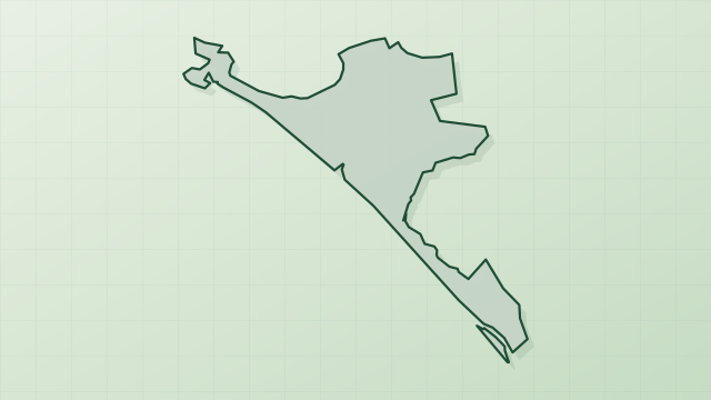
Réserve naturelle nationale des hauts plateaux du Vercors is a nature reserve in France (Europe). It is a predominantly terrestrial area. Established on 27 February 1985, it covers about 16,661 hectares. The site is managed by Vercors Regional Natural Park.
Protections and designations
Natura 2000 · habitats (SAC)
Natura 2000 · birds (SPA)
- Hauts plateaux du Vercors FR8210017
Protected as a nature reserve. International labels and designations: Natura 2000 network (2 sites). Key dates: established in 1985, first Natura 2000 site under the Birds Directive in 2003 and first Natura 2000 site under the Habitats Directive in 2012.
In our collections
Timeline
-
1985
Established
-
2003
First Natura 2000 site under the Birds Directive
-
2012
First Natura 2000 site under the Habitats Directive
Sources: Wikidata (CC0) for establishment and international labels; EEA Natura 2000 database (CC-BY 4.0) for site designation dates.
Frequently asked questions
Where is Réserve naturelle nationale des hauts plateaux du Vercors?
In France (Europe). Representative point: 44.8494° N, 5.5083° E.
How large is Réserve naturelle nationale des hauts plateaux du Vercors?
About 16,661 hectares (167 km²). It is the 5th largest of the 121 nature reserves in France covered by Parkavela.
When was Réserve naturelle nationale des hauts plateaux du Vercors established?
On 27 February 1985.
What habitats and landscapes does Réserve naturelle nationale des hauts plateaux du Vercors include?
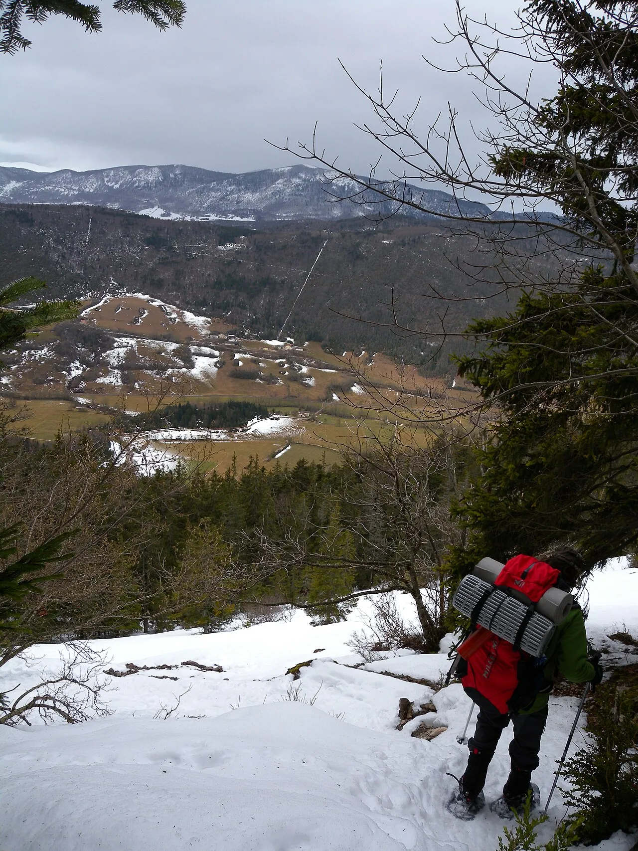
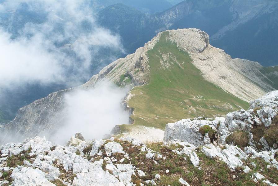
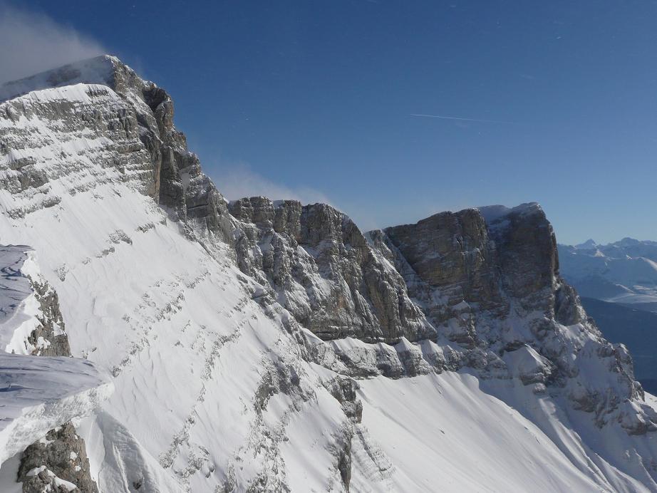
A terrestrial area, with forests and mountains.
What rocks lie beneath Réserve naturelle nationale des hauts plateaux du Vercors?
According to the BRGM's simplified lithological map, the bedrock consists mainly of limestones, marls and gypsum (100% of sampled points). These are mostly sedimentary rocks.
What is the highest point of Réserve naturelle nationale des hauts plateaux du Vercors?
Grand Veymont, at 2,341 m (OpenStreetMap).
Which international labels apply to Réserve naturelle nationale des hauts plateaux du Vercors?
Natura 2000 network (2 sites).
When is the best time to visit Réserve naturelle nationale des hauts plateaux du Vercors?
Best time to visit: from June to August, with average temperatures of 11 to 14 °C and moderate rainfall.
Is there snow in Réserve naturelle nationale des hauts plateaux du Vercors?
Yes. According to NASA's MODIS satellites (2015–2025 average), snow covers most of the site from December to March, with about 120 snow-covered days a year on average.
What is there to see in Réserve naturelle nationale des hauts plateaux du Vercors?
13 viewpoints, 1 waterfall and 57 caves, including Pas de la Ville (1,925 m), Cascade de la Pisse, Gouffre de Nouvelet (1,776 m) and Bélvédère de Pansaret (OpenStreetMap).
Where can I stay in Réserve naturelle nationale des hauts plateaux du Vercors?
10 mountain huts, including Cabane des Aiguillettes (1,880 m), Cabane de Châtillon (1,774 m) and Cabane de l'Essaure (1,653 m) (OpenStreetMap).
What is the nearest large city to Réserve naturelle nationale des hauts plateaux du Vercors?
Nearest towns of over 50,000 people, as the crow flies: Grenoble (29 km) and Valence (43 km). Nearest airport: Grenoble-Isère (GNB), about 42 km away.
How can I reach Réserve naturelle nationale des hauts plateaux du Vercors by train?
The nearest railway station is Clelles-Mens, about 3 km from the site boundary.
Where can I get visitor information on site?
Maison du Parc et du Mont Aiguille.
Are there waymarked hiking trails in Réserve naturelle nationale des hauts plateaux du Vercors?
Yes. Waymarked hiking routes listed in OpenStreetMap: 59, including GR 91, GR 93 and Tour du Vercors à pied.
Which species can be seen in Réserve naturelle nationale des hauts plateaux du Vercors?
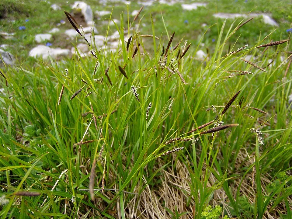
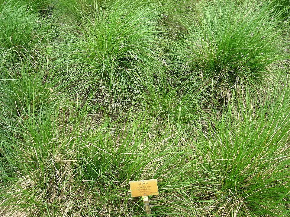
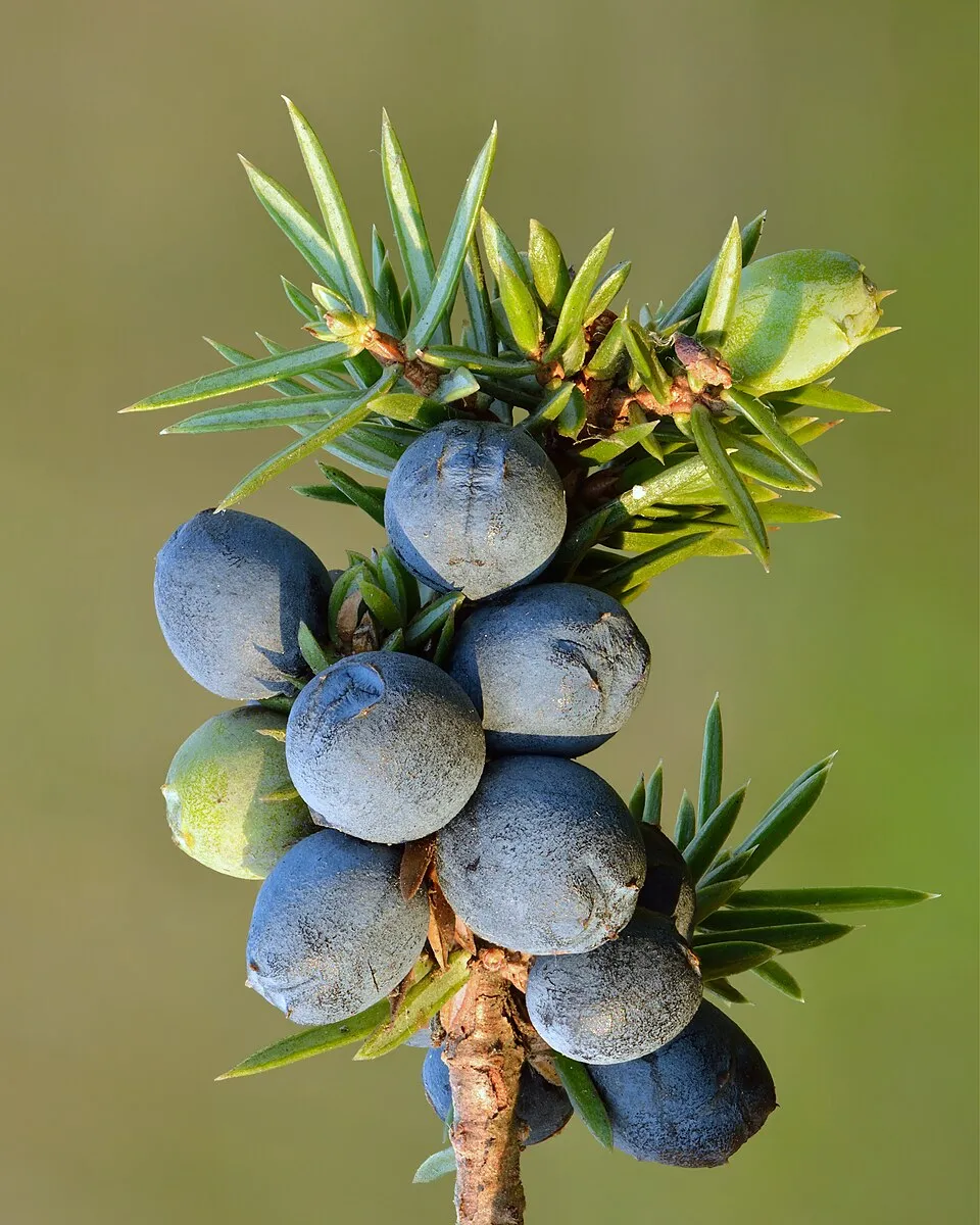
Among the species most often recorded on GBIF are Carex sempervirens, Globularia cordifolia (Heart-leaf Globe Daisy), Sesleria caerulea (Blue moor grass) and Juniperus communis (Common Juniper).
Who manages Réserve naturelle nationale des hauts plateaux du Vercors?
Vercors Regional Natural Park.
What is the official website of Réserve naturelle nationale des hauts plateaux du Vercors?
© OpenStreetMap
Download the boundary: GeoJSON · GPX Boundary © OpenStreetMap contributors (ODbL).
Geography
The representative point of the site lies at around 1,729 m above sea level. Over the 1996–2025 period, the mean annual temperature is about 4.1 °C and total precipitation reaches roughly 1,265 mm per year. The warmest month is usually July, the coolest January, and the wettest November. According to the BRGM's simplified lithological map, the bedrock consists mainly of limestones, marls and gypsum (100% of sampled points). These are mostly sedimentary rocks.
Area
- Area
- 16,661 ha
- Elevation
- 1,729 m
- Median elevation
- 1,626 m
- Mean slope
- 12°
- Snow cover
- ≈ 120 days a year
- Coordinates
- 44.8494, 5.5083
Terrain: Mapzen Terrain Tiles (SRTM, USGS)
Elevation bands
- 1,000–1,500 m 23%
- 1,500–2,000 m 76%
- 2,000–2,500 m 1%
share of the site in each elevation band (smoothed terrain model: summits are rounded off) · Terrain: Mapzen Terrain Tiles (SRTM, USGS)
Bedrock
- Limestones, marls and gypsum 100 %
Sedimentary rocks 100 %
Source: BRGM, simplified lithological map at 1:1,000,000 (Licence Ouverte), 15 points sampled within the boundary.
Climate
● Mean temperature (°C) · ▮ Precipitation (mm)
Source: Copernicus ERA5-Land (C3S, doi:10.24381/cds.68d2bb30), monthly averages 1996–2025 interpolated to the representative point, temperatures adjusted for elevation.
Contains modified Copernicus Climate Change Service information 2026. Neither the European Commission nor ECMWF is responsible for any use that may be made of the Copernicus information or data it contains.
Snow cover measured by satellite
J
F
M
A
M
J
J
A
S
O
N
D
average share of the site under snow · snowiest parts · ≈ 120 days a year
Snow cover: MODIS/Terra MOD10CM v61 (Hall & Riggs, 2021, NASA NSIDC DAAC, doi:10.5067/MODIS/MOD10CM.061), imagery from NASA GIBS (ESDIS); 2015–2025 average, grid of about 5 km.
Natural habitats
According to CORINE Land Cover (2018), the site is mainly made up of forests (46%), grassland and meadows (21%) and heath and scrub (15%). Woodland is mostly coniferous. Elevation ranges from about 1,160 m to 2,341 m (highest point: Grand Veymont). Median elevation is 1,626 m, and 77% of the site lies above 1,500 m (SRTM elevation model). The 2 Natura 2000 sites overlapping the area list 26 habitats of European interest (6 priority), the most extensive being alpine and subalpine calcareous grasslands, limestone pavements and subalpine and montane Pinus uncinata forests (* if on gypsum or limestone).
Biodiversity
Based on occurrences aggregated by GBIF, several species are regularly recorded within the site. Among the most frequent are Carex sempervirens, Globularia cordifolia (Heart-leaf Globe Daisy), Sesleria caerulea (Blue moor grass) and Juniperus communis (Common Juniper). The full list of documented taxa is shown below. The overlapping Natura 2000 sites list 67 species of European interest: 23 birds, 30 mammals, 2 amphibians, 6 invertebrates and 6 plants.
Habitats of European interest
From the official forms of the 2 Natura 2000 sites overlapping the area (areas reported for each whole site).
- Alpine and subalpine calcareous grasslands 6,030 ha
- Limestone pavements priority 2,288 ha
- Subalpine and montane Pinus uncinata forests (* if on gypsum or limestone) 1,818 ha
- Asperulo-Fagetum beech forests 1,455 ha
- Acidophilous Picea forests of the montane to alpine levels (Vaccinio-Piceetea) 1,417 ha
- Medio-European limestone beech forests of the Cephalanthero-Fagion 1,307 ha
- Species-rich Nardus grasslands, on silicious substrates in mountain areas (and submountain areas in Continental Europe) priority 1,130 ha
- Western Mediterranean and thermophilous scree 841 ha
and 18 more
Species of European interest
Birds · 23
Boreal Owl (Aegolius funereus) resident, Cinereous Vulture (Aegypius monachus) resident, Rock Partridge (Alectoris graeca saxatilis) breeding, Tawny Pipit (Anthus campestris) breeding, Golden Eagle (Aquila chrysaetos) resident, Hazel Grouse (Bonasa bonasia) breeding, Eurasian Eagle-owl (Bubo bubo) resident, European Nightjar (Caprimulgus europaeus) resident, Short-toed Snake Eagle (Circaetus gallicus) breeding, Black Woodpecker (Dryocopus martius) resident, Peregrine Falcon (Falco peregrinus) resident, Eurasian Pygmy Owlet (Glaucidium passerinum) resident and 11 more
Mammals · 30
Barbastelle (Barbastella barbastellus), Grey wolf (Canis lupus), Alpine Ibex (Capra ibex), Northern Bat (Eptesicus nilssonii), Serotine bat (Eptesicus serotinus), Mountain Hare (Lepus timidus), Eurasian Lynx (Lynx lynx), Common bent-wing bat (Miniopterus schreibersii), Alcathoe Whiskered Bat (Myotis alcathoe), Bechstein's bat (Myotis bechsteinii), Lesser mouse-eared myotis (Myotis blythii), Brandt's Bat (Myotis brandtii) and 18 more
Amphibians · 2
Midwife toad (Alytes obstetricans), Common frog (Rana temporaria)
Invertebrates · 6
Marsh fritillary (Euphydryas aurinia), Jersey Tiger (Euplagia quadripunctaria), Woodland brown (Lopinga achine), Apollo (Parnassius apollo), Clouded apollo (Parnassius mnemosyne), Rosalia longicorn (Rosalia alpina)
Plants · 6
Aquilegia alpina, Mountain arnica (Arnica montana), Buxbaumia moss (Buxbaumia viridis), Lady's-slipper orchid (Cypripedium calceolus), Great Yellow Gentian (Gentiana lutea), Lycopodium annotinum subsp. annotinum
Source: Natura 2000 standard data forms (EEA, CC-BY 4.0). Not exhaustive: sensitive species are not published.
Species to look out for
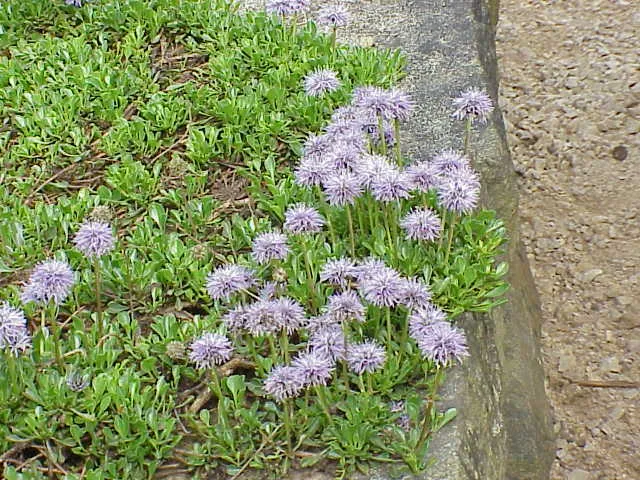
Plant
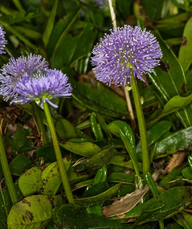
Leafless-stemmed Globularia
Globularia nudicaulis1,489 records © Hedwig Storch · CC BY-SA 3.0

Observed species
Occurrences documented via GBIF; they are neither an exhaustive inventory nor proof of current presence.
- Carex sempervirens · 2416
- Heart-leaf Globe Daisy · Globularia cordifolia · 2056
- Blue moor grass · Sesleria caerulea · 2021
- Common Juniper · Juniperus communis · 1651
- Leafless-stemmed Globularia · Globularia nudicaulis · 1489
- Kidney vetch · Anthyllis vulneraria · 1454
- Norway spruce · Picea abies · 1361
- Festuca laevigata · 1187
- Mountain Pine · Pinus uncinata · 1180
- Alpine Thistle · Carduus defloratus · 1128
- European Beech · Fagus sylvatica · 1125
- Round-headed Rampion · Phyteuma orbiculare · 1125
+18 more species
- Hazel Grouse · Tetrastes bonasia · 1090
- Bilberry · Vaccinium myrtillus · 1088
- Gentiana angustifolia · 1082
- Mountain valerian · Valeriana montana · 1082
- Common rock-rose · Helianthemum nummularium · 1073
- Silver Fir · Abies alba · 1036
- Chalk milkwort · Polygala calcarea · 982
- Great Yellow Gentian · Gentiana lutea · 963
- Black Grouse · Lyrurus tetrix · 952
- Eurasian Chaffinch · Fringilla coelebs · 937
- Helictotrichon sedenense · 931
- Bearberry · Arctostaphylos uva-ursi · 925
- Spignel · Meum athamanticum · 902
- Cypress Spurge · Euphorbia cyparissias · 831
- Helianthemum italicum · 826
- Eightpetal mountain-avens · Dryas octopetala · 814
- Horseshoe vetch · Hippocrepis comosa · 789
- Cerastium elongatum · 780
Records: GBIF.org (CC-BY). Names: Wikidata (CC0), GBIF. Photos: Wikimedia Commons.
Conservation challenges
The primary purpose of the site is to preserve its natural habitats and the biodiversity they support. The species recorded (Biodiversity tab) reflect its ecological value. The designations it holds frame its management and the control of land use.
According to Global Forest Change data (University of Maryland, Global Forest Watch), about 13 ha of tree cover were lost within the boundary between 2001 and 2023, peaking in 2013 and 2021. These losses include logging, storms and fires, and do not account for regrowth. According to CORINE Land Cover, land cover here remained almost unchanged between 1990 and 2018 (less than 0.5% of the area affected). At night, the area gives off virtually no artificial light detectable from space (NASA VIIRS Black Marble composite, 2016). According to the Natura 2000 forms, all 26 assessed habitats of European interest are in good condition. According to the Water Framework Directive assessment (2022 river basin management plans, data 2015–2017), 100% of the 6 km of rivers assessed within the site are in good or high ecological status. Since 2000, 5 invasive alien species have been recorded within the site (GBIF observations). Among them: Laburnum anagyroides (Common Laburnum), Juncus tenuis (Slender rush) and Cydalima perspectalis (Box Tree Moth).
Pressure indicators
Tree cover lost
13 ha
2001–2023 · < 1% of the area
20012023
Fires since 2016
0
No large fire mapped (fires over about 30 ha)
Light at night
0%
of the area gives off artificial light visible from space
DarkLit
Land cover change
< 0.5%
of the area changed, 1990–2018 · CORINE
Rivers and lakes
100%
of the 6 km of assessed rivers in good or high ecological status · WFD 2022
assessments 2015–2017
Invasive alien species
5
recorded since 2000
 Common Laburnum
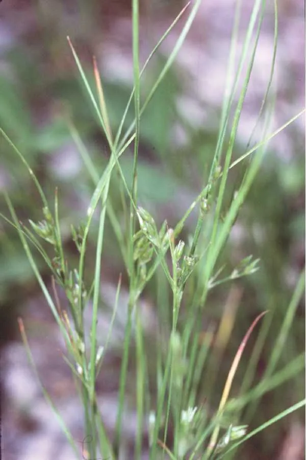 Slender rush
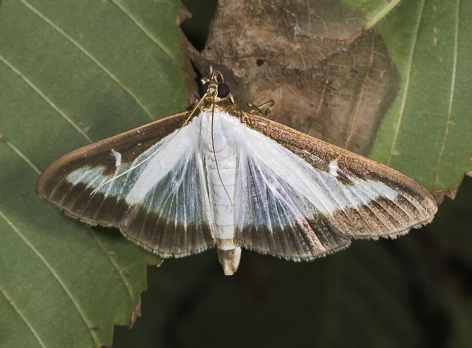 Box Tree Moth
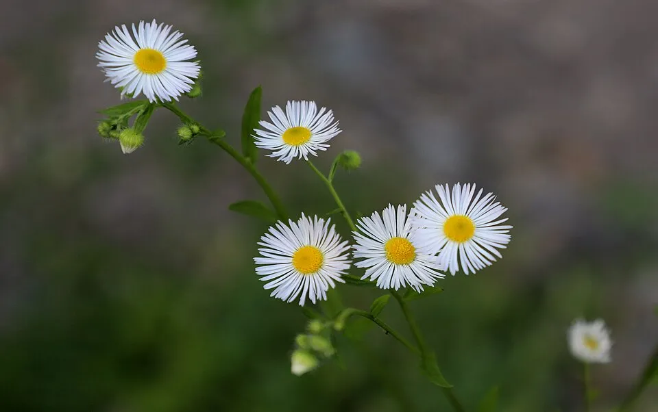 Eastern daisy fleabane
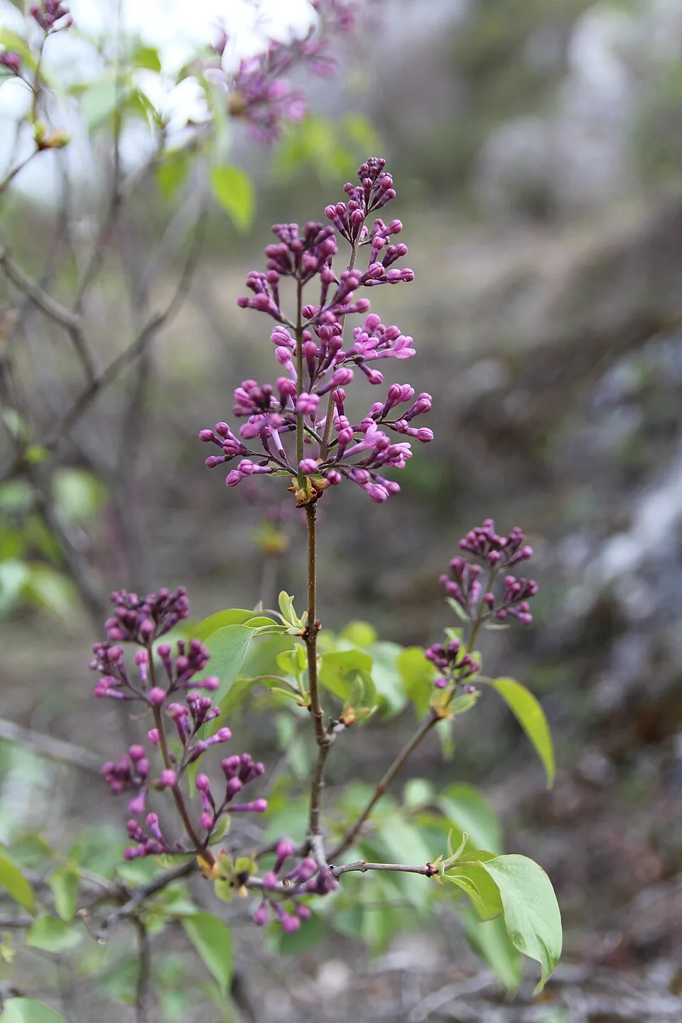 Common Lilac
Photos: Common Laburnum © Enrico Blasutto · CC BY-SA 4.0; Slender rush © EVula · Public domain; Box Tree Moth © Didier Descouens · CC BY-SA 3.0; Eastern daisy fleabane © W. Bulach · CC BY-SA 4.0; Common Lilac © Aporia.j · CC BY-SA 4.0
Sources: Global Forest Change (Hansen et al., University of Maryland, via Global Forest Watch, CC-BY 4.0); EFFIS, European Commission / Copernicus; NASA Black Marble 2016 (public domain); CORINE Land Cover 2018 (Copernicus) or MODIS.
CORINE Land Cover Change 1990–2018: generated using European Union's Copernicus Land Monitoring Service information (EEA), aggregated by Parkavela; DOI 10.2909/f30f1000-7cf8-43bb-872c-5eb093911b24.
Ecological status of water bodies: European Environment Agency, WISE – Water Framework Directive, 3rd river basin management plans (2022), CC BY 4.0. Official national classification, not comparable between countries.
Invasive alien species: Global Register of Introduced and Invasive Species (ISSG, CC BY 4.0); Union list, Regulation (EU) 1143/2014 (INBO, CC0); GBIF.org records (CC0 / CC BY 4.0), at least 2 per species.
Practical information
Cities and airport
- Grenoble
29 km as the crow flies - Valence
43 km as the crow flies - Airport: Grenoble-Isère (GNB)
42 km as the crow flies
Visitor information
- Maison du Parc et du Mont Aiguille
2 km from the site boundary
Parking
6 public car parks listed within the site
Things to see
13 viewpoints · 1 waterfall · 57 caves
- Pas de la Ville
viewpoint · 1,925 m - Cascade de la Pisse
waterfall - Gouffre de Nouvelet
cave · 1,776 m - Bélvédère de Pansaret
viewpoint - scialet Collavet
cave · 1,600 m
Where to stay
10 mountain huts
- Cabane des Aiguillettes
Unstaffed hut · 1,880 m - Cabane de Châtillon
Unstaffed hut · 1,774 m - Cabane de l'Essaure
Unstaffed hut · 1,653 m - Refuge de Chaumailloux
Unstaffed hut · 1,640 m - Abri de la Jasse du Play
Unstaffed hut · 1,629 m
Hiking
59 waymarked routes listed, including:
GR 91GR 93Tour du Vercors à pied
Data © OpenStreetMap contributors (ODbL) · Wikidata (CC0)
Access and visiting
The nearest railway station is Clelles-Mens, about 3 km from the site boundary. Nearest towns of over 50,000 people, as the crow flies: Grenoble (29 km) and Valence (43 km). Nearest airport: Grenoble-Isère (GNB), about 42 km away. About 93,000 people live within 20 km of the site boundary, 19,000 of them within 10 km; some 380 people are estimated to live inside (GHSL estimate, 2020). This population has grown by about 24% since 2000. Visitor information on site: Maison du Parc et du Mont Aiguille. Public car parks listed within the site: 6. Waymarked hiking routes listed in OpenStreetMap: 59, including GR 91, GR 93 and Tour du Vercors à pied. To see: 13 viewpoints, 1 waterfall and 57 caves, including Pas de la Ville (1,925 m), Cascade de la Pisse, Gouffre de Nouvelet (1,776 m) and Bélvédère de Pansaret. Where to stay: 10 mountain huts, including Cabane des Aiguillettes (1,880 m), Cabane de Châtillon (1,774 m) and Cabane de l'Essaure (1,653 m). To plan a visit (access, opening periods, visitor rules), it is best to consult the official information from the managing body (Vercors Regional Natural Park) and the official website listed in this page's sources.
Source: OpenStreetMap (ODbL), Wikidata (CC0), October 2026.
When to visit
Best time to visit: from June to August, with average temperatures of 11 to 14 °C and moderate rainfall. Average temperatures drop below 0 °C from November to March: frost is common. These averages apply to the site's representative point (1,729 m); higher up it is markedly cooler and snow lasts longer. According to NASA's MODIS satellites (2015–2025 average), snow covers most of the site from December to March, with about 120 snow-covered days a year on average. Day length ranges from about 8 h 48 min in December to 15 h 34 min in June. Wildlife records published on GBIF peak for birds (May), plants (June and July), butterflies and moths (August), dragonflies (August) and mammals (June). These peaks also reflect when observers are most active.
Source: Copernicus ERA5-Land (C3S), monthly averages 1996–2025 at the representative point, temperatures adjusted for elevation.
Contains modified Copernicus Climate Change Service information 2026. Neither the European Commission nor ECMWF is responsible for any use that may be made of the Copernicus information or data it contains.
Wildlife records calendar
JFMAMJJASOND
Birds
Plants
Butterflies & moths
Dragonflies
Mammals
Monthly records published on GBIF (CC-BY), relative to the busiest month; also reflects observer activity.
Gallery
© Simdaperce · CC BY-SA 3.0
© Berrucomons · CC BY-SA 3.0
© David.Monniaux · CC BY-SA 3.0
© Johan N · CC BY-SA 3.0
© Parisdreux · CC BY-SA 3.0
© Anthospace · CC BY-SA 3.0
Sources and licences
- Wikidata: Q608838
- OpenStreetMap: relation 1023762
- Official website: https://www.parc-du-vercors.fr/RNNHPV
- Wikipedia: fr.wikipedia.org/wiki/Réserve_naturelle_nationale_des_hauts_plateaux_du_Vercors
- Natura 2000: FR8210017
- WDPA: 106716
References
- cds.climate.copernicus.eu: climate · CC-BY-4.0
- registry.opendata.aws: elevation of the reference point, detailed relief · PD
- land.copernicus.eu: land cover, land cover change, sea share · COPERNICUS
- doi.org: population around the site · CC-BY-4.0
- wikidata.org: official area, establishment date, managing body, official name, nearby cities and airport, access and peaks, lake depths, places to see, official website · CC0-1.0
- eea.europa.eu: bathing water quality, ecological status of waters · CC-BY-4.0
- en.eurovelo.com: EuroVelo cycle routes · ODbL-1.0
- cycling.waymarkedtrails.org: cycle routes · ODbL-1.0
- opentopodata.org: elevations · PD
- forest-fire.emergency.copernicus.eu: wildfires · COPERNICUS
- globalforestwatch.org: tree cover loss · CC-BY-4.0
- gbif.org: seasonality of sightings, invasive alien species, observed species · CC-BY-4.0
- infoterre.brgm.fr: geology · LO-2.0
- pop.culture.gouv.fr: protected heritage · LO-2.0
- hydrosheds.org: lakes · CC-BY-4.0
- natura2000.eea.europa.eu: Natura 2000 habitats and species · CC-BY-4.0
- earthobservatory.nasa.gov: night light · PD
- openstreetmap.org: access and peaks, places to see · ODbL-1.0
- nsidc.org: snow cover · PD
- wikidata.org: Wikipedia article · CC-BY-SA-4.0
Data © OpenStreetMap contributors (ODbL), Wikidata (CC0) and the sources cited.