
France · Terrestrial
Marais des Bouligons
Protected area of 67 hectares in France.
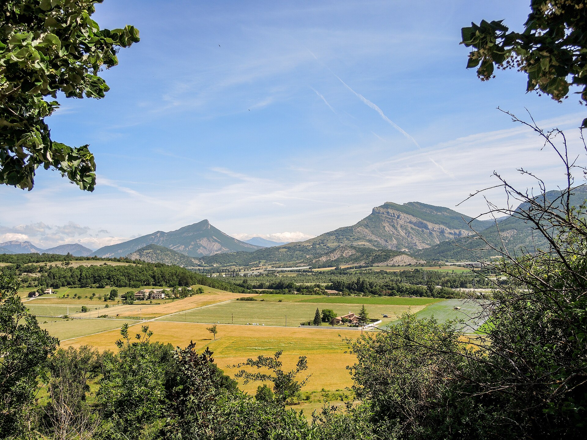
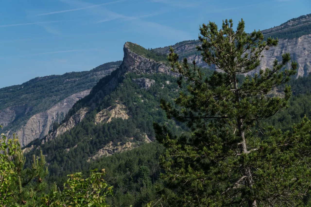
Illustrative photo · Drôme · © photobertrand42 / Magnific
Overview
Protected area of 67 hectares in France.
Marais des Bouligons is a protected area in France (Europe). It is a predominantly terrestrial area. It covers about 67 hectares.
Protections and designations
Natura 2000 · habitats (SAC)
Designated as a protected area. International labels and designations: Natura 2000 network (1 site: “Zones humides et rivières de la haute vallée de la Drôme”).
In our collections
Frequently asked questions
Where is Marais des Bouligons?
In France (Europe). Representative point: 44.5627° N, 5.5139° E.
How large is Marais des Bouligons?
About 67 hectares. It is the 23rd largest of the 32 other protected areas in France covered by Parkavela.
What habitats and landscapes does Marais des Bouligons include?
A terrestrial area, with forests.
What rocks lie beneath Marais des Bouligons?
According to the BRGM's simplified lithological map, the bedrock consists mainly of limestones, marls and gypsum (100% of sampled points). These are mostly sedimentary rocks.
Which international labels apply to Marais des Bouligons?
Natura 2000 network (1 site: “Zones humides et rivières de la haute vallée de la Drôme”).
When is the best time to visit Marais des Bouligons?
Best time to visit: from April to September, with average temperatures of 10 to 21 °C and moderate rainfall.
What is the nearest large city to Marais des Bouligons?
Nearest towns of over 50,000 people, as the crow flies: Valence (63 km) and Grenoble (70 km). Nearest airport: Grenoble-Isère (GNB), about 89 km away.
How can I reach Marais des Bouligons by train?
The nearest railway station is Lus-la-Croix-Haute, about 18 km from the site boundary.
Which species can be seen in Marais des Bouligons?
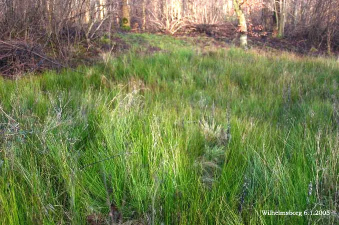
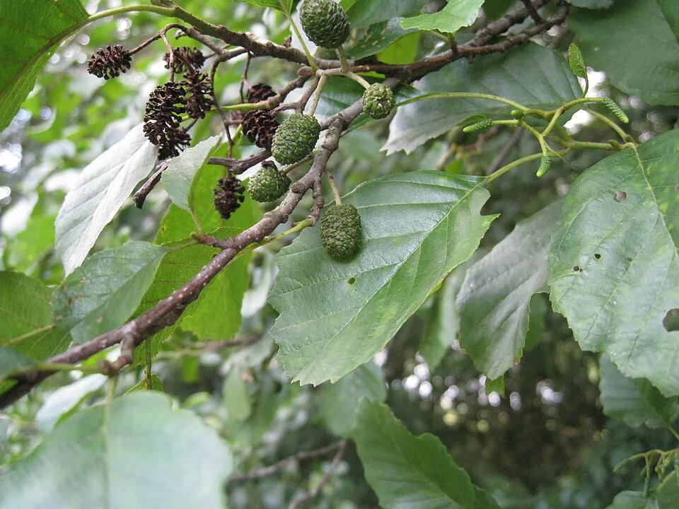
Among the species most often recorded on GBIF are Phragmites australis (Common reed), Juncus subnodulosus (Blunt-flowered rush), Alnus glutinosa (Common Alder) and Alnus incana (Grey Alder).
© OpenStreetMap
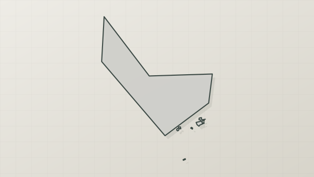
Download the boundary: GeoJSON · GPX Boundary © OpenStreetMap contributors (ODbL).
Geography
The representative point of the site lies at around 657 m above sea level. Over the 1996–2025 period, the mean annual temperature is about 11.2 °C and total precipitation reaches roughly 1,093 mm per year. The warmest month is usually July, the coolest January, and the wettest November. According to the BRGM's simplified lithological map, the bedrock consists mainly of limestones, marls and gypsum (100% of sampled points). These are mostly sedimentary rocks.
Area
- Area of the boundary
- 66.7 ha
- Elevation
- 657 m
- Median elevation
- 677 m
- Mean slope
- 13°
- Coordinates
- 44.5627, 5.5139
Terrain: Mapzen Terrain Tiles (SRTM, USGS)
Bedrock
- Limestones, marls and gypsum 100 %
Sedimentary rocks 100 %
Source: BRGM, simplified lithological map at 1:1,000,000 (Licence Ouverte), 16 points sampled within the boundary.
Climate
● Mean temperature (°C) · ▮ Precipitation (mm)
Source: Copernicus ERA5-Land (C3S, doi:10.24381/cds.68d2bb30), monthly averages 1996–2025 interpolated to the representative point, temperatures adjusted for elevation.
Contains modified Copernicus Climate Change Service information 2026. Neither the European Commission nor ECMWF is responsible for any use that may be made of the Copernicus information or data it contains.
Snow cover measured by satellite
J
F
M
A
M
J
J
A
S
O
N
D
average share of the area under snow · snowiest parts · ≈ 25 days a year
Snow cover: MODIS/Terra MOD10CM v61 (Hall & Riggs, 2021, NASA NSIDC DAAC, doi:10.5067/MODIS/MOD10CM.061), imagery from NASA GIBS (ESDIS); 2015–2025 average, grid of about 5 km.
Natural habitats
According to CORINE Land Cover (2018), the site is mainly made up of forests (65%) and grassland and meadows (34%). Woodland mixes broadleaved and coniferous trees. Elevation ranges from about 650 to 770 m (sampled elevations, SRTM). The Natura 2000 site overlapping the area lists 24 habitats of European interest (7 priority), the most extensive being alluvial forests with Alnus glutinosa and Fraxinus excelsior (Alno-Padion, Alnion incanae, Salicion albae), Juniperus communis formations on heaths or calcareous grasslands and western Mediterranean and thermophilous scree.
Biodiversity
Based on occurrences aggregated by GBIF, several species are regularly recorded within the site. Among the most frequent are Phragmites australis (Common reed), Juncus subnodulosus (Blunt-flowered rush), Alnus glutinosa (Common Alder) and Alnus incana (Grey Alder). The full list of documented taxa is shown below. The overlapping Natura 2000 site lists 38 species of European interest: 21 mammals, 4 reptiles, 2 amphibians, 3 fish, 6 invertebrates and 2 plants.
Habitats of European interest
From the official form of the Natura 2000 site overlapping the area (areas reported for the whole site).
- Alluvial forests with Alnus glutinosa and Fraxinus excelsior (Alno-Padion, Alnion incanae, Salicion albae) priority 149 ha
- Juniperus communis formations on heaths or calcareous grasslands 84 ha
- Western Mediterranean and thermophilous scree 71 ha
- Alpine rivers and their ligneous vegetation with Salix elaeagnos 63 ha
- Constantly flowing Mediterranean rivers with Glaucium flavum 59 ha
- Medio-European limestone beech forests of the Cephalanthero-Fagion 33 ha
- Water courses of plain to montane levels with the Ranunculion fluitantis and Callitricho-Batrachion vegetation 33 ha
- Medio-European calcareous scree of hill and montane levels priority 33 ha
and 16 more
Species of European interest
Mammals · 21
Eurasian Beaver (Castor fiber), Savi's Pipistrelle (Hypsugo savii), Eurasian otter (Lutra lutra), Common bent-wing bat (Miniopterus schreibersii), Hazel dormouse (Muscardinus avellanarius), Lesser mouse-eared myotis (Myotis blythii), Daubenton's bat (Myotis daubentonii), Geoffroy's bat (Myotis emarginatus), Greater mouse-eared bat (Myotis myotis), Whiskered bat (Myotis mystacinus), Natterer's bat (Myotis nattereri), Lesser noctule (Nyctalus leisleri) and 9 more
Reptiles · 4
Smooth snake (Coronella austriaca), Western Whip Snake (Hierophis viridiflavus), Western green lizard (Lacerta bilineata), Common wall lizard (Podarcis muralis)
Fish · 3
Mediterranean Barbel (Barbus meridionalis), European bullhead (Cottus gobio), Souffia (Telestes souffia)
Invertebrates · 6
White-clawed Crayfish (Austropotamobius pallipes), Southern damselfly (Coenagrion mercuriale), Marsh fritillary (Euphydryas aurinia), Orange-spotted Emerald (Oxygastra curtisii), Parnassius apollo meridionalis, Willowherb Hawkmoth (Proserpinus proserpina)
Source: Natura 2000 standard data forms (EEA, CC-BY 4.0). Not exhaustive: sensitive species are not published.
Species to look out for

Observed species
Occurrences documented via GBIF; they are neither an exhaustive inventory nor proof of current presence.
- Common reed · Phragmites australis · 341
- Blunt-flowered rush · Juncus subnodulosus · 209
- Common Alder · Alnus glutinosa · 142
- Grey Alder · Alnus incana · 134
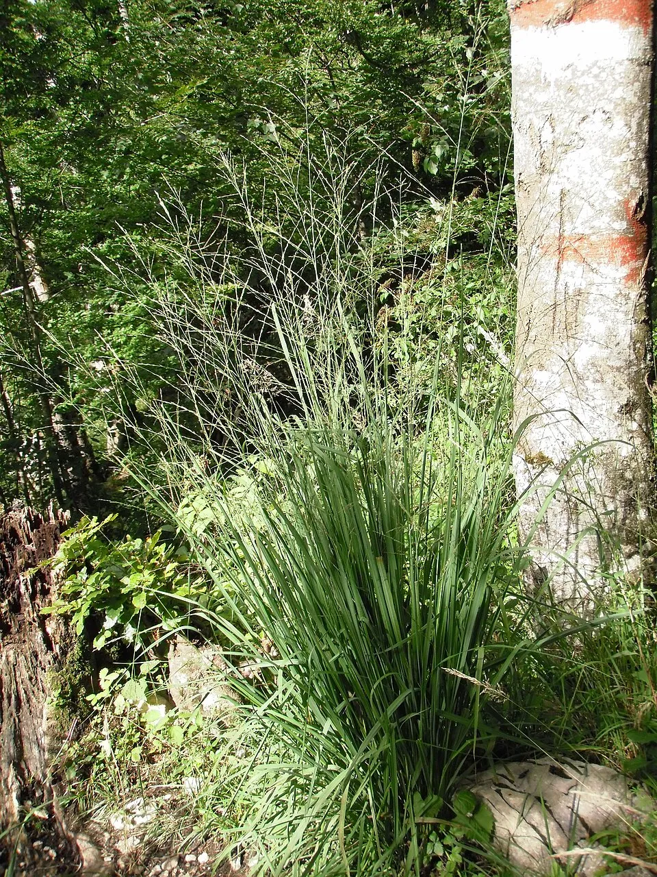
- Purple Moor Grass · Molinia arundinacea · 118
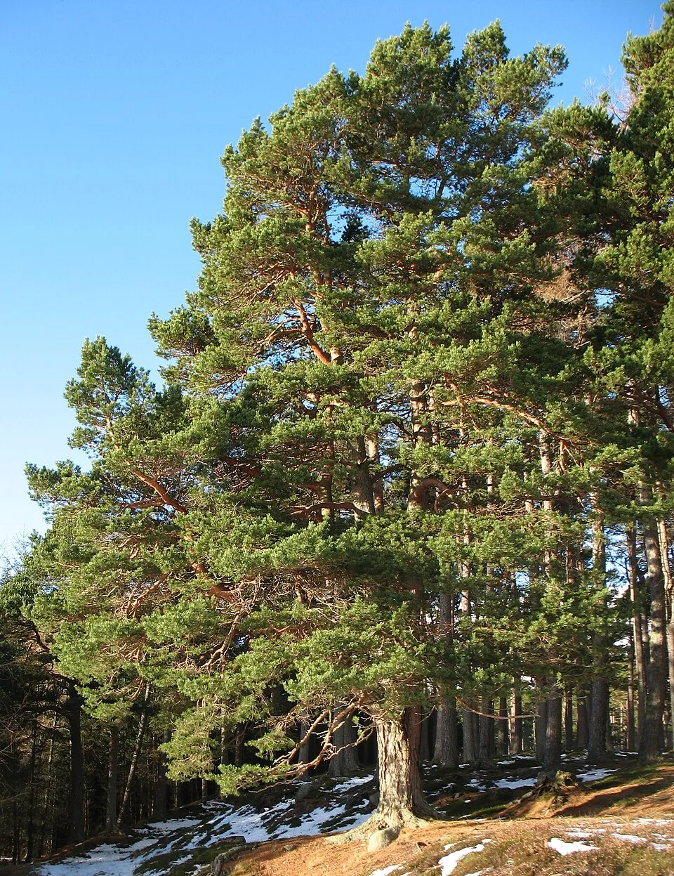
- Scots Pine · Pinus sylvestris · 106
- Lesser pond-sedge · Carex acutiformis · 98
- Purple-loosestrife · Lythrum salicaria · 87
- Marsh helleborine · Epipactis palustris · 83
- Alder Buckthorn · Frangula alnus · 81
- Glaucous sedge · Carex flacca · 76
- Downy oak · Quercus pubescens · 76
+18 more species
- Long-stalked yellow-sedge · Carex lepidocarpa · 71
- Common box · Buxus sempervirens · 64
- Carnation sedge · Carex panicea · 62
- Cirsium monspessulanum · 62
- Purple Willow · Salix purpurea · 57
- Common Juniper · Juniperus communis · 56
- European ash · Fraxinus excelsior · 56
- Gypsywort · Lycopus europaeus · 56
- Grey Willow · Salix cinerea · 55
- Blue Aphyllanthes · Aphyllanthes monspeliensis · 48
- Yellow Loosestrife · Lysimachia vulgaris · 48
- Black pine · Pinus nigra · 48
- Hairy greenweed · Genista pilosa · 44
- Snowy Mespilus · Amelanchier ovalis · 42
- Elaeagnus willow · Salix eleagnos · 41
- Dogwood · Cornus sanguinea · 40
- Dwarf Sedge · Carex humilis · 38
- Hemp-agrimony · Eupatorium cannabinum · 37
Records: GBIF.org (CC-BY). Names: Wikidata (CC0), GBIF. Photos: Wikimedia Commons.
Conservation challenges
The primary purpose of the site is to preserve its natural habitats and the biodiversity they support. The species recorded (Biodiversity tab) reflect its ecological value. The designations it holds frame its management and the control of land use.
At night, the area gives off virtually no artificial light detectable from space (NASA VIIRS Black Marble composite, 2016). According to the Natura 2000 forms, of 16 assessed habitats of European interest, 4 are in excellent condition and the rest in good condition.
Pressure indicators
Tree cover lost
1 ha
2001–2023
20012023
Fires since 2016
0
No large fire mapped (fires over about 30 ha)
Light at night
0%
of the area gives off artificial light visible from space
DarkLit
Sources: Global Forest Change (Hansen et al., University of Maryland, via Global Forest Watch, CC-BY 4.0); EFFIS, European Commission / Copernicus; NASA Black Marble 2016 (public domain); CORINE Land Cover 2018 (Copernicus) or MODIS.
Practical information
Cities and airport
- Valence
63 km as the crow flies - Grenoble
70 km as the crow flies - Airport: Grenoble-Isère (GNB)
89 km as the crow flies
Data © OpenStreetMap contributors (ODbL) · Wikidata (CC0)
Access and visiting
The nearest railway station is Lus-la-Croix-Haute, about 18 km from the site boundary. Nearest towns of over 50,000 people, as the crow flies: Valence (63 km) and Grenoble (70 km). Nearest airport: Grenoble-Isère (GNB), about 89 km away. About 9,600 people live within 20 km of the site boundary, 1,800 of them within 10 km (GHSL estimate, 2020). To plan a visit (access, opening periods, visitor rules), it is best to consult the official information from the managing body and the official website listed in this page's sources.
Source: OpenStreetMap (ODbL), Wikidata (CC0), October 2026.
When to visit
Best time to visit: from April to September, with average temperatures of 10 to 21 °C and moderate rainfall. Snow only makes brief appearances in winter (about 25 days a year on average, MODIS satellites 2015–2025). Day length ranges from about 8 h 50 min in December to 15 h 32 min in June. Wildlife records published on GBIF peak for birds (July) and plants (July and August). These peaks also reflect when observers are most active.
Source: Copernicus ERA5-Land (C3S), monthly averages 1996–2025 at the representative point, temperatures adjusted for elevation.
Contains modified Copernicus Climate Change Service information 2026. Neither the European Commission nor ECMWF is responsible for any use that may be made of the Copernicus information or data it contains.
Wildlife records calendar
JFMAMJJASOND
Birds
Plants
Monthly records published on GBIF (CC-BY), relative to the busiest month; also reflects observer activity.
Gallery
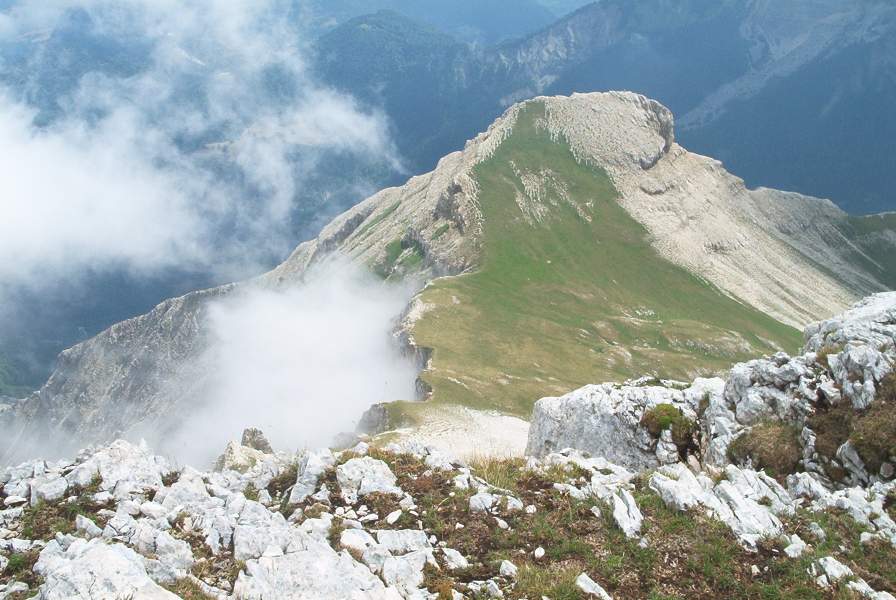
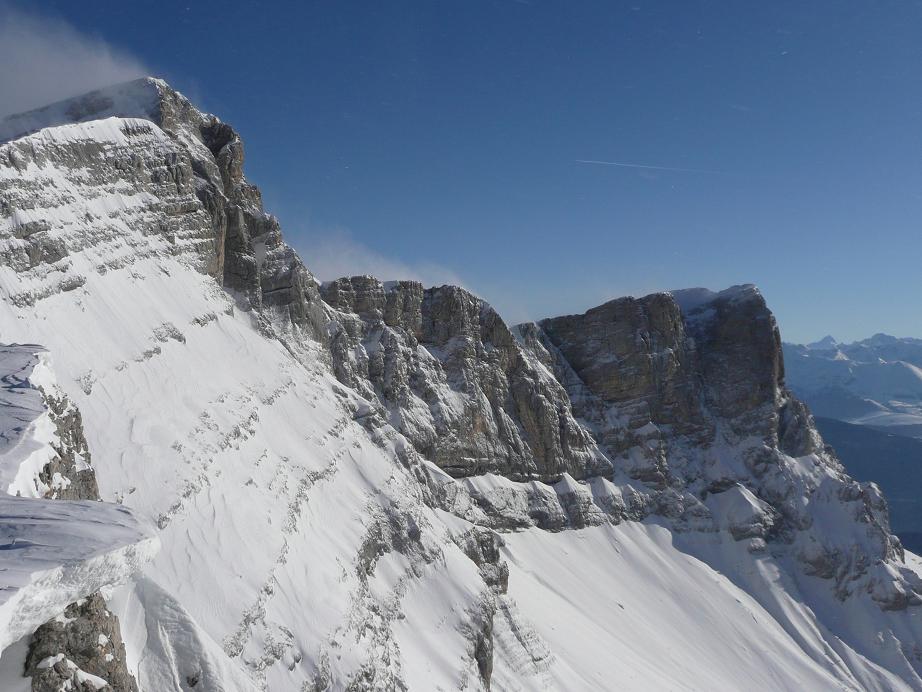
© photobertrand42 / Magnific
Sources and licences
- OpenStreetMap: relation 13590638
References
- cds.climate.copernicus.eu: climate · CC-BY-4.0
- registry.opendata.aws: elevation of the reference point, detailed relief · PD
- land.copernicus.eu: land cover, land cover change, sea share · COPERNICUS
- doi.org: population around the site · CC-BY-4.0
- openstreetmap.org: official name, access and peaks, places to see, trail difficulty · ODbL-1.0
- eea.europa.eu: bathing water quality, ecological status of waters · CC-BY-4.0
- en.eurovelo.com: EuroVelo cycle routes · ODbL-1.0
- cycling.waymarkedtrails.org: cycle routes · ODbL-1.0
- opentopodata.org: elevations · PD
- forest-fire.emergency.copernicus.eu: wildfires · COPERNICUS
- globalforestwatch.org: tree cover loss · CC-BY-4.0
- gbif.org: seasonality of sightings, invasive alien species, observed species · CC-BY-4.0
- infoterre.brgm.fr: geology · LO-2.0
- pop.culture.gouv.fr: protected heritage · LO-2.0
- hydrosheds.org: lakes · CC-BY-4.0
- natura2000.eea.europa.eu: Natura 2000 habitats and species · CC-BY-4.0
- earthobservatory.nasa.gov: night light · PD
- nsidc.org: snow cover · PD
- wikidata.org: nearby cities and airport, access and peaks, lake depths, places to see · CC0-1.0
Data © OpenStreetMap contributors (ODbL), Wikidata (CC0) and the sources cited.