Bird
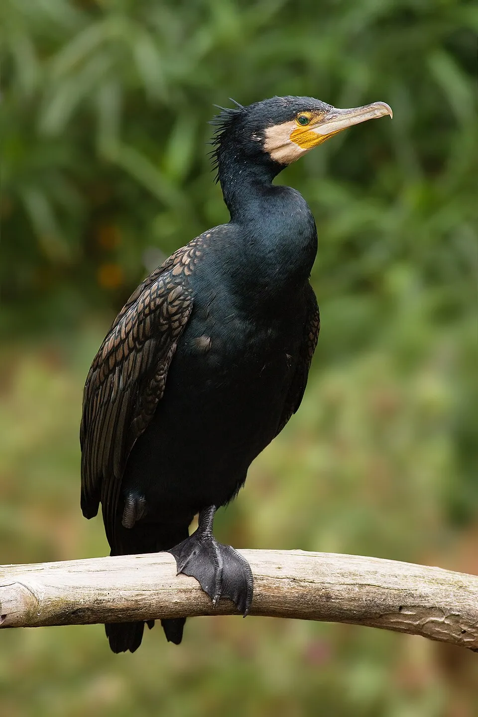
Great Cormorant
Phalacrocorax carbo661 records © JJ Harrison (https://www.jjharrison.com.au/) · CC BY-SA 3.0
Italy · Mixed
National park of 8,440 hectares in Italy, established in 1934.
National park of 8,440 hectares in Italy, established in 1934.
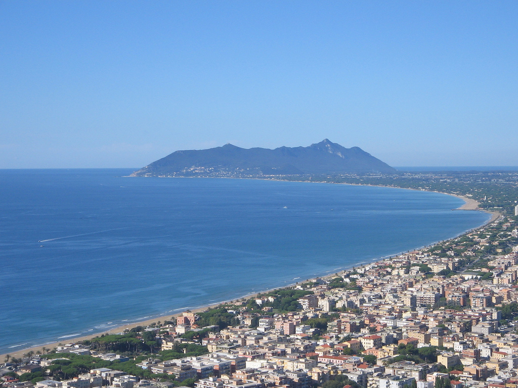
Circeo National Park is located in Italy (Europe). It covers both land and sea. Established in 1934, it covers about 8,440 hectares.
Protected as a national park. International labels and designations: UNESCO Biosphere Reserve, Ramsar site (“Lake Fogliano”, “Lago dei Monaci”) and Natura 2000 network (8 sites). Key dates: established in 1934, Ramsar Site in 1976 and first Natura 2000 site under the Birds Directive in 1988.
Sources: Wikidata (CC0) for establishment and international labels; EEA Natura 2000 database (CC-BY 4.0) for site designation dates.
In Italy (Europe). Representative point: 41.3228° N, 12.9768° E.
About 8,440 hectares (84 km²). It is the 22nd largest of the 26 national parks in Italy covered by Parkavela. About 4,700 ha are at sea.
In 1934.
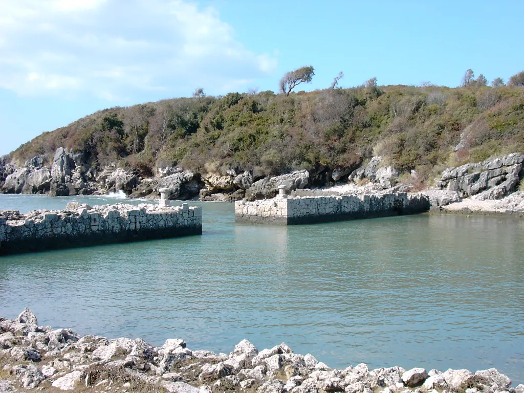
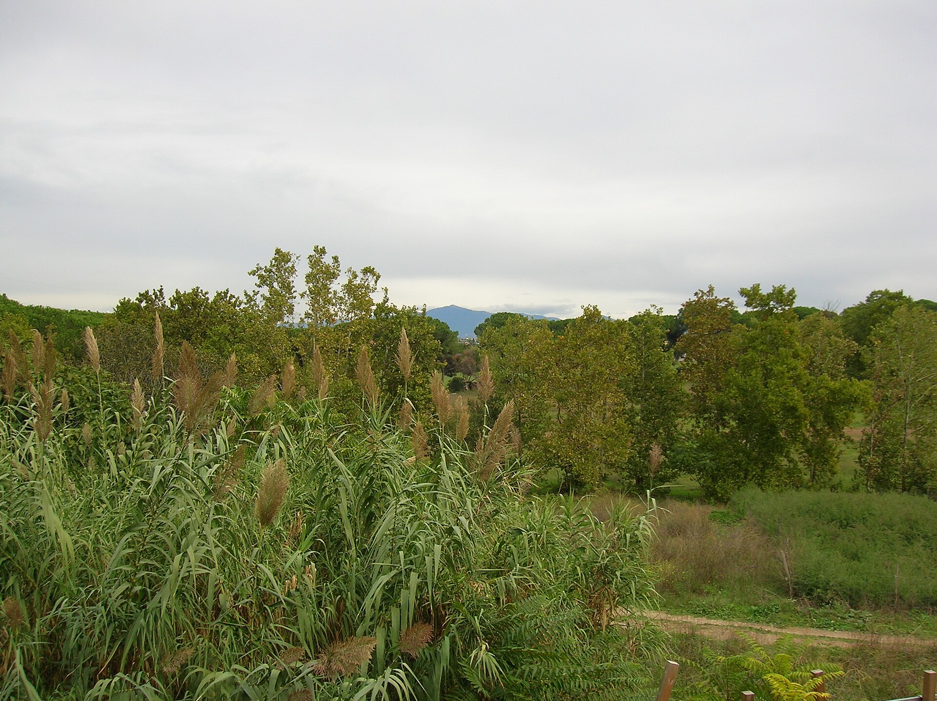
An area spanning land and sea, with forests and coasts.
According to the European 1:1 million geological map (EGDI), recent unconsolidated deposits – unconsolidated deposits (71% of sampled points) – cover most of the site; among the consolidated rocks: limestones (29%). These are mostly sedimentary rocks. The geological units date mainly from the Quaternary (71% of sampled points).
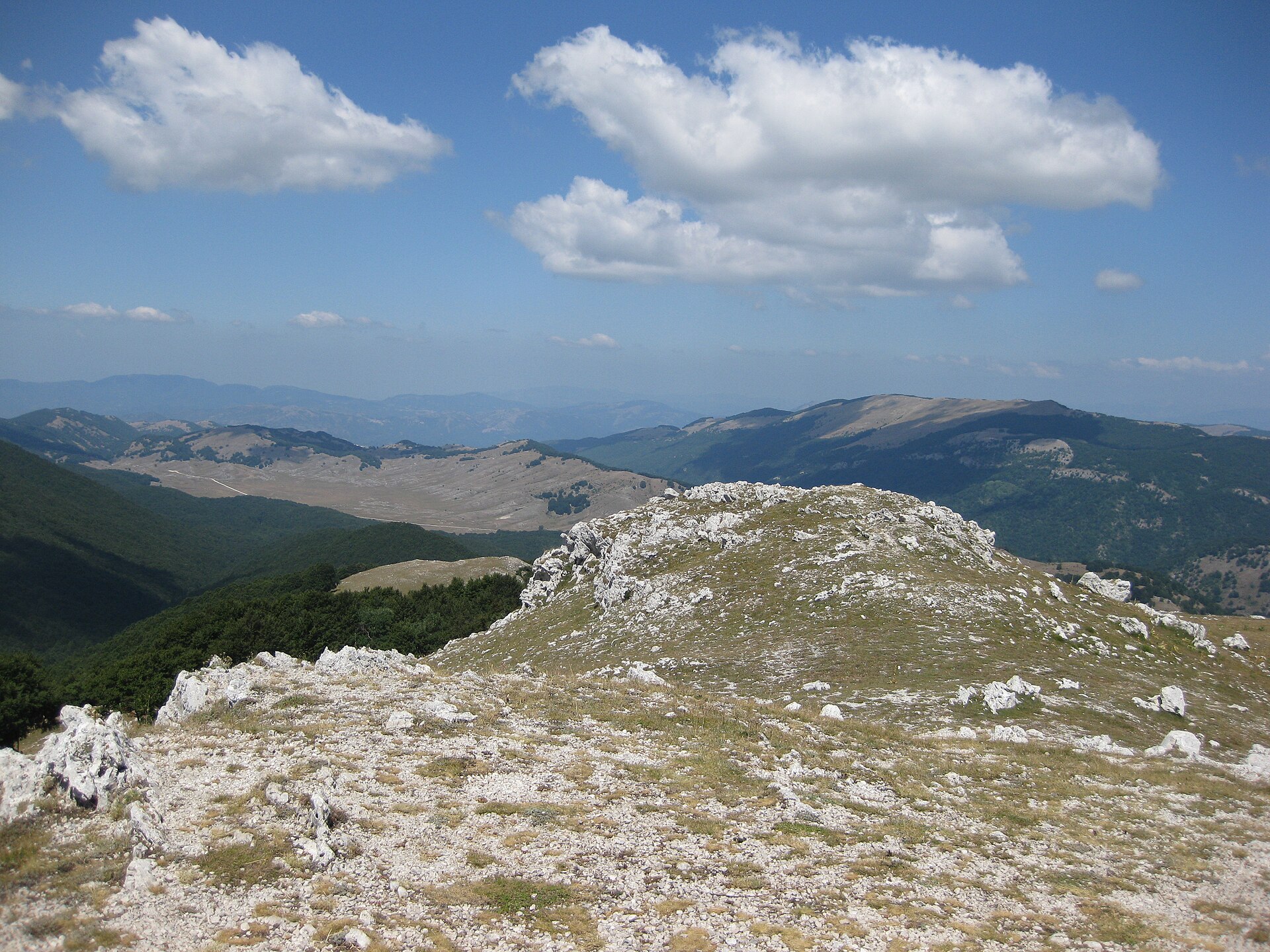
Monte Circeo, at 541 m (OpenStreetMap).
Monte Circeo (541 m), Monte Circello (448 m) and Picco d’Istria (418 m) (OpenStreetMap).
UNESCO Biosphere Reserve, Ramsar site (“Lake Fogliano”, “Lago dei Monaci”) and Natura 2000 network (8 sites).
Best time to visit: from April to June, with average temperatures of 14 to 23 °C and moderate rainfall.
13 viewpoints, 5 lakes and ponds and 1 cave, including Lago dei Monaci, Grotte Guattari, Lago di Caprolace and Lago di Fogliano (OpenStreetMap).
4 campsites, including Camping Rio Martino, Camping Sabaudia and Camping Sant' Andrea (OpenStreetMap).
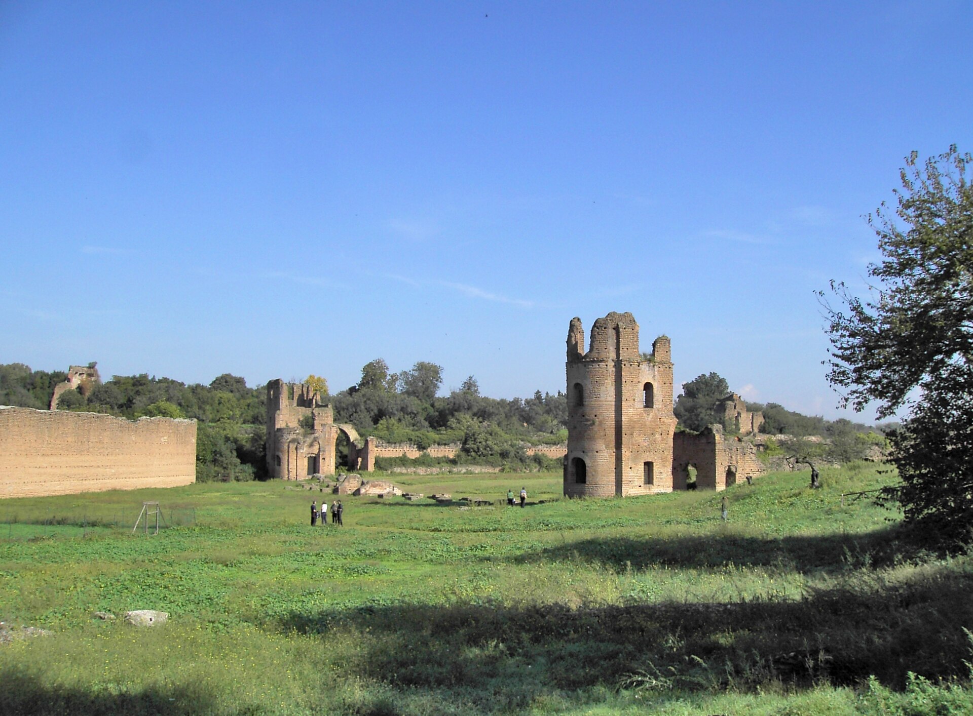
Yes. According to Wikidata, 12 monuments protected as Italian national cultural heritage stand within the boundary. For example: “Chiesa della Madonnella” in San Felice Circeo, “Fortino di Cretarossa” in San Felice Circeo and “Mostra permanente Homo sapiens e habitat” in San Felice Circeo.
35 monitored bathing sites lie in or within 1 km of the site; official 2025 classification: 35 excellent (European Environment Agency). Swimming is only permitted at the sites and times authorised locally.
Nearest towns of over 50,000 people, as the crow flies: Latina (6 km) and Anzio (20 km). Nearest airport: Rome Ciampino (CIA), about 48 km away.
The nearest railway station is Priverno-Fossanova, about 13 km from the site boundary.
Yes. Waymarked hiking routes listed in OpenStreetMap: 9. The “750” route runs for about 7 km through the site, with some 600 m of ascent on its longest section.
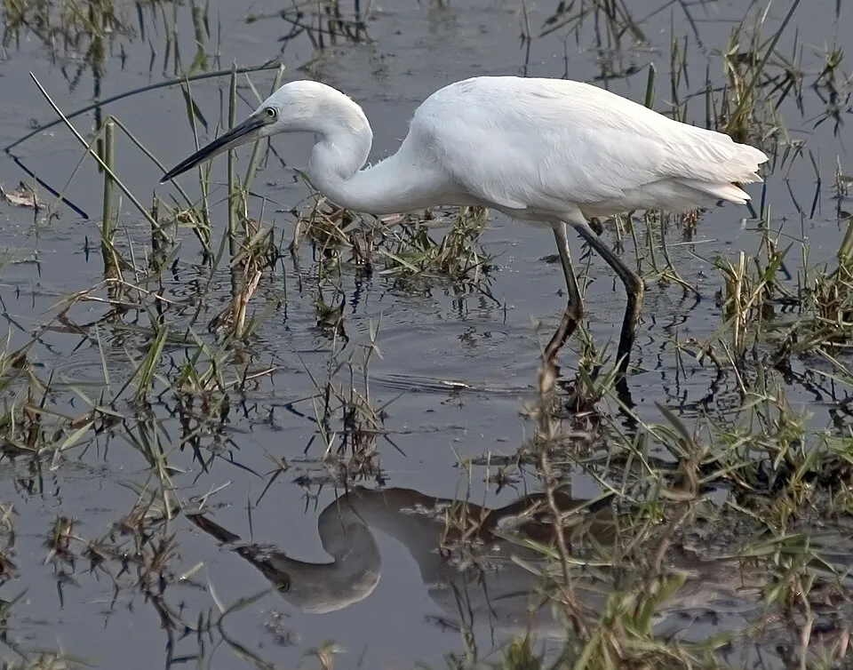
Among the species most often recorded on GBIF are Phalacrocorax carbo (Great Cormorant), Egretta garzetta (Little Egret), Corvus cornix (Hooded Crow) and Anas platyrhynchos (Mallard).
© OpenStreetMap
Download the boundary: GeoJSON · GPX Boundary © OpenStreetMap contributors (ODbL).
Over the 1996–2025 period, the mean annual temperature is about 16.7 °C and total precipitation reaches roughly 989 mm per year. The warmest month is usually August, the coolest January, and the wettest November. According to the European 1:1 million geological map (EGDI), recent unconsolidated deposits – unconsolidated deposits (71% of sampled points) – cover most of the site; among the consolidated rocks: limestones (29%). These are mostly sedimentary rocks. The geological units date mainly from the Quaternary (71% of sampled points). The site contains 4 lakes larger than 10 ha, totalling 10.3 km² of water; the largest, lago di Fogliano, covers 3.9 km² (HydroLAKES). lago di Caprolace is 3 m deep (Wikidata).
Lakes: HydroLAKES (Messager et al. 2016, hydrosheds.org, CC BY 4.0) · depths: Wikidata (CC0)
Sedimentary rocks 100 % · Main age: Quaternary (71%)
Source: EGDI 1:1M geological map (EuroGeoSurveys and national geological surveys), CC BY 4.0 · 7 sampled points within the site.
Data © OpenStreetMap contributors (ODbL)
● Mean temperature (°C) · ▮ Precipitation (mm)
Source: Copernicus ERA5-Land (C3S, doi:10.24381/cds.68d2bb30), monthly averages 1996–2025 interpolated to the representative point, temperatures adjusted for elevation.
Contains modified Copernicus Climate Change Service information 2026. Neither the European Commission nor ECMWF is responsible for any use that may be made of the Copernicus information or data it contains.
According to CORINE Land Cover (2018), the land area is mainly made up of forests (41%), farmland (31%) and lakes and rivers (12%). Woodland is mostly broadleaved. The sea covers about 55% of the site. The seabed reaches about 81 m deep (median depth 34 m; GEBCO bathymetry). Elevation ranges from sea level to 541 m (highest point: Monte Circeo). The 8 Natura 2000 sites overlapping the area list 29 habitats of European interest (6 priority), the most extensive being Pannonian-Balkanic turkey oak-sessile oak forests, coastal lagoons and Posidonia beds (Posidonion oceanicae).
Based on occurrences aggregated by GBIF, several species are regularly recorded within the site. Among the most frequent are Phalacrocorax carbo (Great Cormorant), Egretta garzetta (Little Egret), Corvus cornix (Hooded Crow) and Anas platyrhynchos (Mallard). The full list of documented taxa is shown below. The overlapping Natura 2000 sites list 121 species of European interest: 80 birds, 24 mammals, 6 reptiles, 3 amphibians, 2 fish and 6 invertebrates.
From the official forms of the 8 Natura 2000 sites overlapping the area (areas reported for each whole site).
and 21 more
Moustached Warbler (Acrocephalus melanopogon) passage wintering, Aquatic warbler (Acrocephalus paludicola) passage, Common Kingfisher (Alcedo atthis) passage breeding wintering, Tawny Pipit (Anthus campestris) passage, Great Egret (Ardea alba) wintering, Purple Heron (Ardea purpurea) passage breeding, Squacco Heron (Ardeola ralloides) breeding passage, Short-eared Owl (Asio flammeus) passage, Ferruginous Duck (Aythya nyroca) passage wintering, Eurasian Bittern (Botaurus stellaris) wintering passage, Trumpeter Finch (Bucanetes githagineus) passage, Eurasian Stone-curlew (Burhinus oedicnemus) passage and 68 more
Grey wolf (Canis lupus), Serotine bat (Eptesicus serotinus), Savi's Pipistrelle (Hypsugo savii), Crested porcupine (Hystrix cristata), Common bent-wing bat (Miniopterus schreibersii), Hazel dormouse (Muscardinus avellanarius), Western Polecat (Mustela putorius), Bechstein's bat (Myotis bechsteinii), Lesser mouse-eared myotis (Myotis blythii), Long-fingered bat (Myotis capaccinii), Daubenton's bat (Myotis daubentonii), Geoffroy's bat (Myotis emarginatus) and 12 more
Smooth snake (Coronella austriaca), Four-lined snake (Elaphe quatuorlineata), European Pond Turtle (Emys orbicularis), Dice snake (Natrix tessellata), Hermann's tortoise (Testudo hermanni), Aesculapian Snake (Zamenis longissimus)
Green Toad (Bufotes viridis complex), Agile frog (Rana dalmatina), Italian crested newt (Triturus carnifex)
Greater Capricorn Beetle (Cerambyx cerdo), Southern damselfly (Coenagrion mercuriale), Jersey Tiger (Euplagia quadripunctaria), Bladetail (Lindenia tetraphylla), Italian Marbled White (Melanargia arge), Fan Mussel (Pinna nobilis)
Source: Natura 2000 standard data forms (EEA, CC-BY 4.0). Not exhaustive: sensitive species are not published.
Bird
661 records © JJ Harrison (https://www.jjharrison.com.au/) · CC BY-SA 3.0

Bird
561 records © Ricardo Tulio Gandelman from Rio de Janeiro, Brazil · CC BY 2.0



Occurrences documented via GBIF; they are neither an exhaustive inventory nor proof of current presence.
Records: GBIF.org (CC-BY). Names: Wikidata (CC0), GBIF. Photos: Wikimedia Commons.
The primary purpose of the site is to preserve its natural habitats and the biodiversity they support. The species recorded (Biodiversity tab) reflect its ecological value. The designations it holds frame its management and the control of land use.
According to Global Forest Change data (University of Maryland, Global Forest Watch), about 41 ha of tree cover were lost within the boundary between 2001 and 2023 (under 1% of its area), peaking in 2011 and 2020. These losses include logging, storms and fires, and do not account for regrowth. According to the European CORINE Land Cover inventory (Copernicus), land cover changed on about 85 ha of the site between 1990 and 2018 (under 1% of its area): built-up land grew by 84 ha, mostly at the expense of farmland, while farmland shrank by 84 ha, mostly giving way to built-up land. At night, 29% of the area gives off artificial light detectable from space (NASA VIIRS Black Marble composite, 2016). Built-up and developed land (buildings, business areas, roads, quarries) covers 2% of the area, and farmland 14% (CORINE Land Cover). According to the Natura 2000 forms, of 27 assessed habitats of European interest, 10 are in average or reduced condition and the rest in good condition. According to the Water Framework Directive assessment (2022 river basin management plans, data 2015–2020), the only river assessed within the site has poor ecological potential. Other assessed water bodies: lagoons and estuaries, 0 of 4 in good ecological status or better; coastal waters, 2 of 3 in good ecological status or better. Since 2000, 17 invasive alien species have been recorded within the site (GBIF observations), 2 of them listed as of Union concern under EU Regulation 1143/2014. Among them: Threskiornis aethiopicus (African Sacred Ibis), Broussonetia papyrifera (Paper mulberry) and Cygnus olor (Mute Swan).
41 ha
2001–2023 · < 1% of the area
0
No large fire mapped (fires over about 30 ha)
29%
of the area gives off artificial light visible from space
2%
buildings, business areas, roads, quarries · farmland 14%
85 ha
changed cover, 1990–2018 · CORINE · < 1% of the area
0%
of the 2 km of assessed rivers at good or high ecological potential (mostly heavily modified water bodies) · WFD 2022
Lagoons and estuaries: 0 of 4 good or better
Coastal waters: 2 of 3 good or better
assessments 2015–2020
17
incl. 2 of EU concern · since 2000
 African Sacred IbisEU
 Paper mulberryEU
 Mute Swan
 Buttonweed
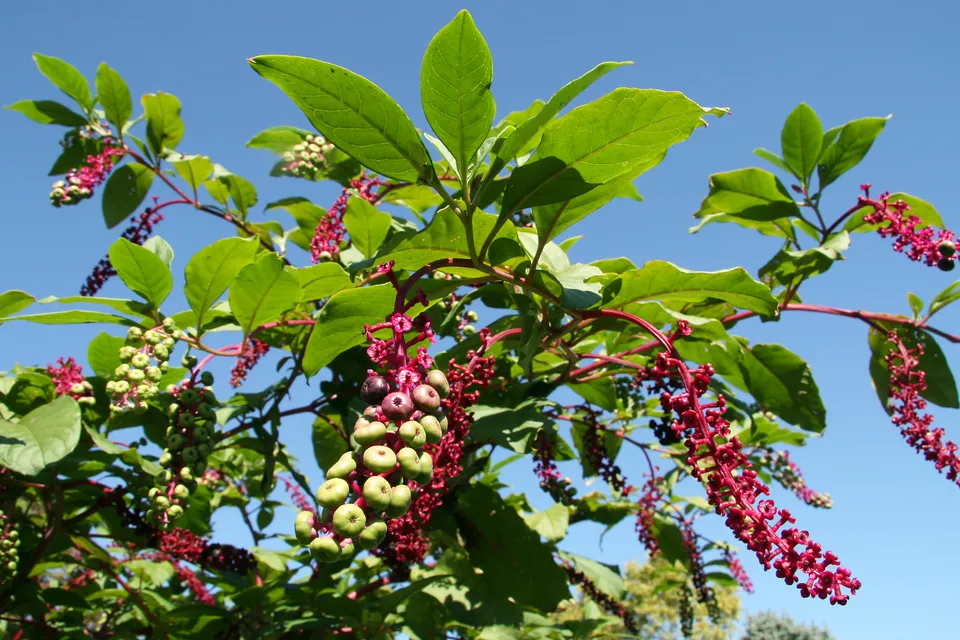 American pokeweed
 Bermuda buttercup
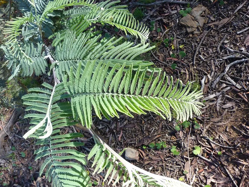 Silver Wattle
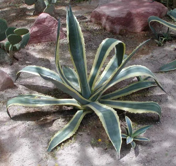 American century plant
Photos: African Sacred Ibis © Steve Garvie from Dunfermline, Fife, Scotland · CC BY-SA 2.0; Paper mulberry © Didier Descouens · CC BY-SA 4.0; Mute Swan © Geni · CC BY-SA 4.0; Buttonweed © Johann Georg Sturm (Painter: Jacob Sturm) · Public domain; American pokeweed © Huw Williams (Huwmanbeing) · Public domain; Bermuda buttercup © MathKnight and Zachi Evenor אביר המתמטיקה וצחי אבנור · CC BY-SA 4.0; Silver Wattle © Donald Hobern from Copenhagen, Denmark · CC BY 2.0; American century plant © Stan Shebs · CC BY-SA 3.0
Sources: Global Forest Change (Hansen et al., University of Maryland, via Global Forest Watch, CC-BY 4.0); EFFIS, European Commission / Copernicus; NASA Black Marble 2016 (public domain); CORINE Land Cover 2018 (Copernicus) or MODIS.
CORINE Land Cover Change 1990–2018: generated using European Union's Copernicus Land Monitoring Service information (EEA), aggregated by Parkavela; DOI 10.2909/f30f1000-7cf8-43bb-872c-5eb093911b24.
Ecological status of water bodies: European Environment Agency, WISE – Water Framework Directive, 3rd river basin management plans (2022), CC BY 4.0. Official national classification, not comparable between countries.
Invasive alien species: Global Register of Introduced and Invasive Species (ISSG, CC BY 4.0); Union list, Regulation (EU) 1143/2014 (INBO, CC0); GBIF.org records (CC0 / CC BY 4.0), at least 2 per species.
82 public car parks listed within the site
13 viewpoints · 5 lakes and ponds · 1 cave
4 campsites
9 waymarked routes listed
Signed cycle routes: this does not mean that cycling is allowed on footpaths.
Data © OpenStreetMap contributors (ODbL) · Wikidata (CC0)
Contains information from EuroVelo GPX tracks downloaded from www.EuroVelo.com on 2026-10-22, which is made available here under the Open Database License (ODbL). EuroVelo® is a registered trademark of the ECF. Routes © OpenStreetMap contributors (ODbL), via Waymarked Trails
Tracks © OpenStreetMap contributors (ODbL), clipped to the boundary; elevation gain and profiles computed on the longest section from Mapzen Terrain Tiles (≈ 30 m), indicative only.
35 monitored bathing sites in or within 1 km of the site · 2025 classification
and 25 more
Source: European Environment Agency, official bathing water classification (Directive 2006/7/EC, CC-BY 4.0). Swimming is only permitted at the sites and times authorised locally.
The nearest railway station is Priverno-Fossanova, about 13 km from the site boundary. Nearest towns of over 50,000 people, as the crow flies: Latina (6 km) and Anzio (20 km). Nearest airport: Rome Ciampino (CIA), about 48 km away. About 380,000 people live within 20 km of the site boundary, 160,000 of them within 10 km; some 15,000 people are estimated to live inside (GHSL estimate, 2020). This population has grown by about 30% since 2000. Public car parks listed within the site: 82, including Largo Asia, Largo Caraibi and Piazza Centauro. Waymarked hiking routes listed in OpenStreetMap: 9. The EuroVelo 7 cycle route (Sun Route) crosses the site for about 32 km, mostly developed and signed (EuroVelo). To see: 13 viewpoints, 5 lakes and ponds and 1 cave, including Lago dei Monaci, Grotte Guattari, Lago di Caprolace and Lago di Fogliano. Where to stay: 4 campsites, including Camping Rio Martino, Camping Sabaudia and Camping Sant' Andrea. To plan a visit (access, opening periods, visitor rules), it is best to consult the official information from the managing body and the official website listed in this page's sources.
Source: OpenStreetMap (ODbL), Wikidata (CC0), October 2026.
According to Wikidata, 12 monuments protected as Italian national cultural heritage stand within the boundary. Among them are 7 castles and fortifications, 2 prehistoric and archaeological sites and 1 religious building. Examples include “Chiesa della Madonnella” in San Felice Circeo, “Fortino di Cretarossa” in San Felice Circeo and “Mostra permanente Homo sapiens e habitat” in San Felice Circeo.
and 4 more
Source: Wikidata (CC0), monuments in each country’s official heritage protection registers, at national or regional level. Each item links to its Wikidata entry.
Best time to visit: from April to June, with average temperatures of 14 to 23 °C and moderate rainfall. Precipitation peaks in November (up to 170 mm per month). Day length ranges from about 9 h 12 min in December to 15 h 09 min in June. Wildlife records published on GBIF peak for birds (December and January), plants (April) and butterflies and moths (May). These peaks also reflect when observers are most active.
Source: Copernicus ERA5-Land (C3S), monthly averages 1996–2025 at the representative point, temperatures adjusted for elevation.
Contains modified Copernicus Climate Change Service information 2026. Neither the European Commission nor ECMWF is responsible for any use that may be made of the Copernicus information or data it contains.
Monthly records published on GBIF (CC-BY), relative to the busiest month; also reflects observer activity.
Data © OpenStreetMap contributors (ODbL), Wikidata (CC0) and the sources cited.