Italy · Terrestrial
Monti Aurunci Nature Park
Regional nature park of 19,374 hectares in Italy, established in 1997.
Overview
Regional nature park of 19,374 hectares in Italy, established in 1997.
Monti Aurunci Nature Park is a regional nature park in Italy (Europe). It is a predominantly terrestrial area. Established in 1997, it covers about 19,374 hectares.
Protections and designations
Natura 2000 · habitats (SAC) · 4 sites
- Forcelle di Campello e di Fraile IT6040028
- Monte Petrella (area sommitale) IT6040026
- Monte Redentore (versante sud) IT6040027
- Parete del Monte Fammera IT6050026
Natura 2000 · birds (SPA)
- Monti Ausoni e Aurunci IT6040043
Protected as a regional nature park. International labels and designations: Natura 2000 network (5 sites). Key dates: established in 1997 and first Natura 2000 site under the Birds Directive in 1999.
In our collections
Timeline
-
1997
Established
-
1999
First Natura 2000 site under the Birds Directive
Sources: Wikidata (CC0) for establishment and international labels; EEA Natura 2000 database (CC-BY 4.0) for site designation dates.
Frequently asked questions
Where is Monti Aurunci Nature Park?
In Italy (Europe). Representative point: 41.3465° N, 13.5832° E.
How large is Monti Aurunci Nature Park?
About 19,374 hectares (194 km²). It is the 27th largest of the 128 regional parks in Italy covered by Parkavela.
When was Monti Aurunci Nature Park established?
In 1997.
What habitats and landscapes does Monti Aurunci Nature Park include?
A terrestrial area, with forests and mountains.
What rocks lie beneath Monti Aurunci Nature Park?
According to the European 1:1 million geological map (EGDI), the bedrock consists mainly of limestones (100% of sampled points). These are mostly sedimentary rocks. The geological units date mainly from the Jurassic (73% of sampled points).
What is the highest point of Monti Aurunci Nature Park?
Monte Petrella, at 1,533 m (OpenStreetMap).
What are the main summits of Monti Aurunci Nature Park?
Monte Petrella (1,533 m), Monte Campetelle (1,494 m), Monte Sant'Angelo (1,402 m), Monte Altino (1,367 m) and Monte Forte (1,316 m) (OpenStreetMap).
Which international labels apply to Monti Aurunci Nature Park?
Natura 2000 network (5 sites).
When is the best time to visit Monti Aurunci Nature Park?
Best time to visit: from May to September, with average temperatures of 12 to 21 °C and moderate rainfall.
What is there to see in Monti Aurunci Nature Park?
6 viewpoints and 21 caves, including Panorama Valle Gaetana, Ciauca dell'Orticara (1,100 m), Redentore and Abisso della Ciauchella (OpenStreetMap).
Where can I stay in Monti Aurunci Nature Park?
6 mountain huts and 1 campsite, including Rifugio di Monte Faggeto (1,150 m), Area sosta Bellavista and Rifugio Acquaviva (OpenStreetMap).
What is the nearest large city to Monti Aurunci Nature Park?
Nearest towns of over 50,000 people, as the crow flies: Latina (47 km) and Giugliano in Campania (58 km). Nearest airport: Naples (NAP), about 67 km away.
How can I reach Monti Aurunci Nature Park by train?
The nearest railway station is Formia-Gaeta, less than 1 km from the site boundary.
Where can I get visitor information on site?
Punto IAT Formia and Pro Loco Esperia.
Are there waymarked hiking trails in Monti Aurunci Nature Park?
Yes. Waymarked hiking routes listed in OpenStreetMap: 57, including Via Francigena. The “CAur2 · Cammino degli Aurunci - Tappa 2” route runs for about 21 km through the site, with some 920 m of ascent on its longest section.
Which species can be seen in Monti Aurunci Nature Park?
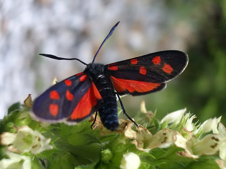
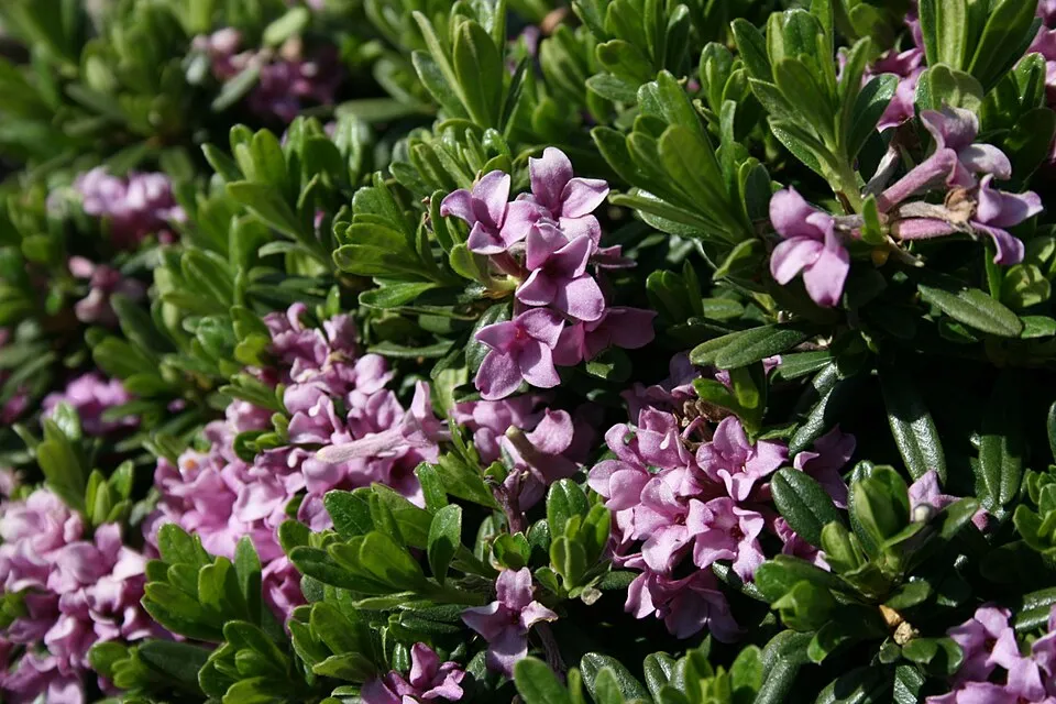
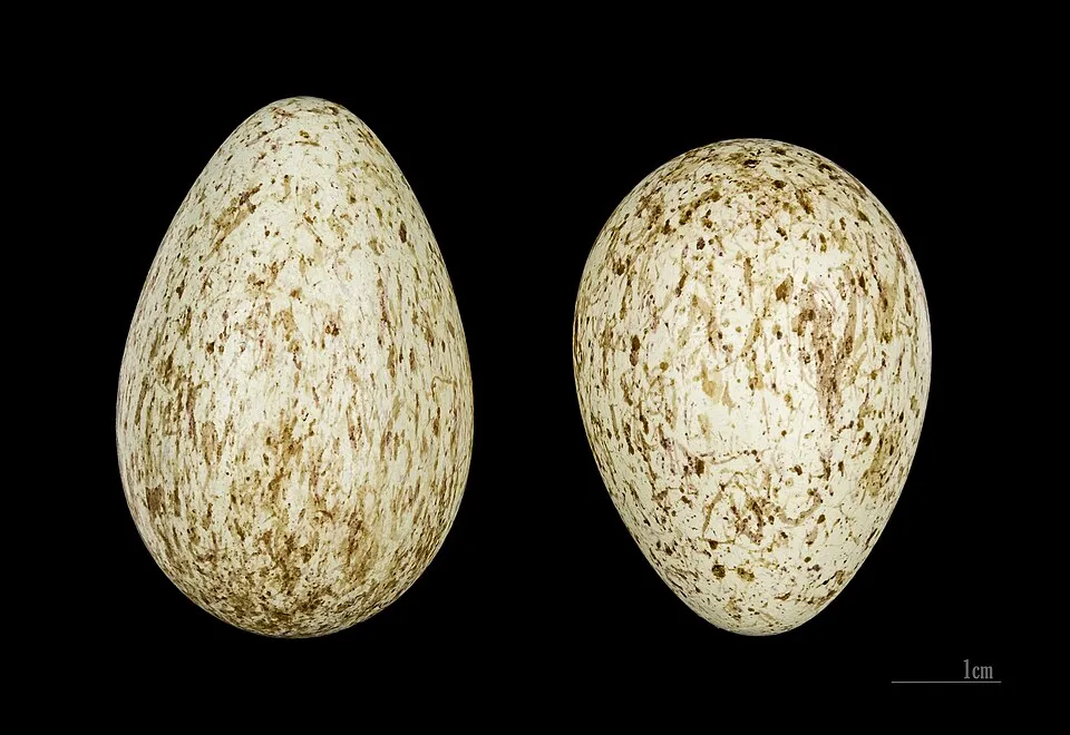
Among the species most often recorded on GBIF are Zygaena transalpina (Transalpine burnet moth), Potentilla rigoana, Daphne sericea and Corvus corax (Northern Raven).
What is the official website of Monti Aurunci Nature Park?
© OpenStreetMap
Download the boundary: GeoJSON · GPX Boundary © OpenStreetMap contributors (ODbL).
Geography
The representative point of the site lies at around 847 m above sea level. Over the 1996–2025 period, the mean annual temperature is about 10.9 °C and total precipitation reaches roughly 1,180 mm per year. The warmest month is usually August, the coolest January, and the wettest November. According to the European 1:1 million geological map (EGDI), the bedrock consists mainly of limestones (100% of sampled points). These are mostly sedimentary rocks. The geological units date mainly from the Jurassic (73% of sampled points).
Area
- Area
- 19,374 ha
- Elevation
- 847 m
- Median elevation
- 727 m
- Mean slope
- 20°
- Coordinates
- 41.3465, 13.5832
Terrain: Mapzen Terrain Tiles (SRTM, USGS)
Elevation bands
- below 500 m 26%
- 500–1,000 m 56%
- 1,000–1,500 m 18%
share of the site in each elevation band (smoothed terrain model: summits are rounded off) · Terrain: Mapzen Terrain Tiles (SRTM, USGS)
Bedrock
- Limestones 100 %
Sedimentary rocks 100 % · Main age: Jurassic (73%)
Source: EGDI 1:1M geological map (EuroGeoSurveys and national geological surveys), CC BY 4.0 · 15 sampled points within the site.
Main summits
- Monte Petrella1,533 m
- Monte Campetelle1,494 m
- Monte Sant'Angelo1,402 m
- Monte Altino1,367 m
- Monte Forte1,316 m
- Monte Ruazzo1,314 m
- Monte Forte SE1,313 m
- Monte Revole1,285 m
- Monte Faggeto1,256 m
- M. Faggeto cima NO1,255 m
Data © OpenStreetMap contributors (ODbL)
Climate
● Mean temperature (°C) · ▮ Precipitation (mm)
Source: Copernicus ERA5-Land (C3S, doi:10.24381/cds.68d2bb30), monthly averages 1996–2025 interpolated to the representative point, temperatures adjusted for elevation.
Contains modified Copernicus Climate Change Service information 2026. Neither the European Commission nor ECMWF is responsible for any use that may be made of the Copernicus information or data it contains.
Natural habitats
According to CORINE Land Cover (2018), the site is mainly made up of forests (47%), sparsely vegetated land (27%) and heath and scrub (11%). Woodland is mostly broadleaved. Elevation ranges from about 250 m to 1,533 m (highest point: Monte Petrella). Median elevation is 727 m, and 18% of the site lies above 1,000 m (SRTM elevation model). The terrain is steep: 15% of slopes exceed 30° (mean slope 20°). The 5 Natura 2000 sites overlapping the area list 6 habitats of European interest (2 priority), the most extensive being Thermo-Mediterranean and pre-desert scrub, semi-natural dry grasslands and scrubland facies on calcareous substrates (Festuco-Brometalia) (* important orchid sites) and Quercus ilex and Quercus rotundifolia forests.
Biodiversity
Based on occurrences aggregated by GBIF, several species are regularly recorded within the site. Among the most frequent are Zygaena transalpina (Transalpine burnet moth), Potentilla rigoana, Daphne sericea and Corvus corax (Northern Raven). The full list of documented taxa is shown below. The overlapping Natura 2000 sites list 39 species of European interest: 25 birds, 6 mammals, 2 reptiles, 2 amphibians, 3 invertebrates and 1 plant.
Habitats of European interest
From the official forms of the 5 Natura 2000 sites overlapping the area (areas reported for each whole site).
- Thermo-Mediterranean and pre-desert scrub 386 ha
- Semi-natural dry grasslands and scrubland facies on calcareous substrates (Festuco-Brometalia) (* important orchid sites) 91 ha
- Quercus ilex and Quercus rotundifolia forests 80 ha
- Apeninne beech forests with Taxus and Ilex priority 31 ha
- Pseudo-steppe with grasses and annuals of the Thero-Brachypodietea priority 13 ha
- Calcareous rocky slopes with chasmophytic vegetation 7 ha
Species of European interest
Birds · 25
Common Kingfisher (Alcedo atthis) resident, Tawny Pipit (Anthus campestris) breeding, Pallid Swift (Apus pallidus) passage, Golden Eagle (Aquila chrysaetos) wintering, European Nightjar (Caprimulgus europaeus) breeding, Short-toed Snake Eagle (Circaetus gallicus) breeding, Western Marsh Harrier (Circus aeruginosus) passage, Hen Harrier (Circus cyaneus) passage, Montagu's Harrier (Circus pygargus) passage, European Roller (Coracias garrulus) passage, Ortolan Bunting (Emberiza hortulana) breeding, Lesser Kestrel (Falco naumanni) passage and 13 more
Mammals · 6
Crested porcupine (Hystrix cristata), Common bent-wing bat (Miniopterus schreibersii), Hazel dormouse (Muscardinus avellanarius), Geoffroy's bat (Myotis emarginatus), Greater Horseshoe Bat (Rhinolophus ferrumequinum), Lesser horseshoe bat (Rhinolophus hipposideros)
Invertebrates · 3
Marsh fritillary (Euphydryas aurinia), Italian Marbled White (Melanargia arge), Rosalia longicorn (Rosalia alpina)
Source: Natura 2000 standard data forms (EEA, CC-BY 4.0). Not exhaustive: sensitive species are not published.
Species to look out for
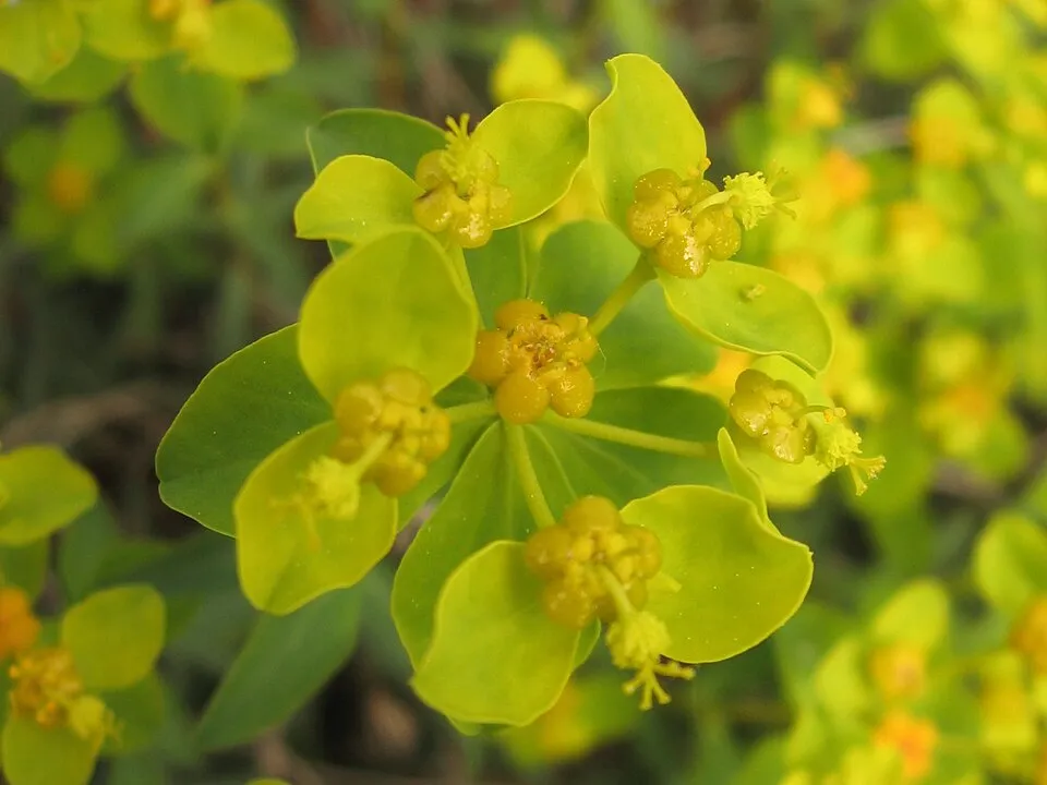
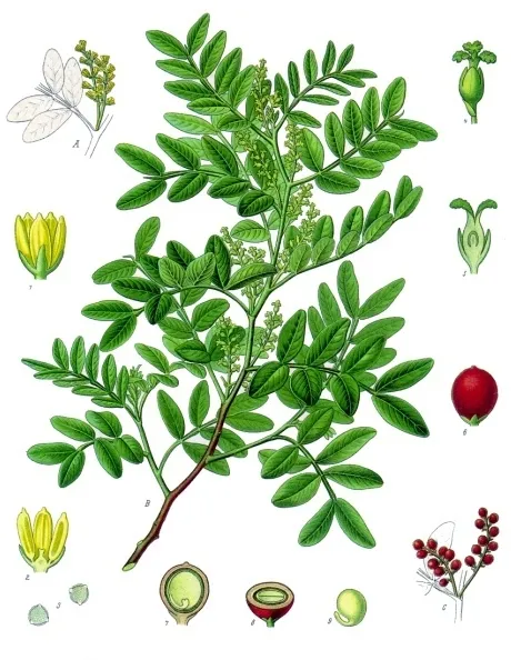
Plant
Mastic Tree
Pistacia lentiscus7 records © Franz Eugen Köhler, Köhler's Medizinal-Pflanzen · Public domain
Observed species
Occurrences documented via GBIF; they are neither an exhaustive inventory nor proof of current presence.
- Transalpine burnet moth · Zygaena transalpina · 13
- Potentilla rigoana · 10
- Daphne sericea · 8
- Northern Raven · Corvus corax · 7
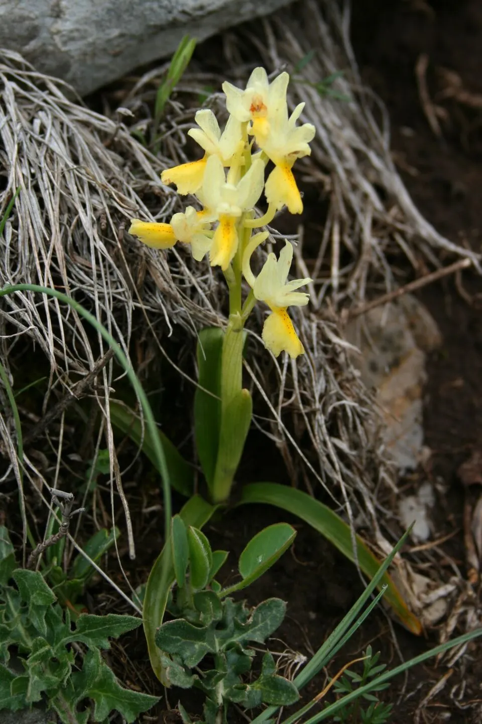
- Few-flowered Orchid · Orchis pauciflora · 7
- Spiny Spurge · Euphorbia spinosa · 7
- Mastic Tree · Pistacia lentiscus · 7
- Salvia cistus · Cistus salviifolius · 6
- Eurasian Jay · Garrulus glandarius · 6
- Gagea tisoniana · 6
- Late Spider-orchid · Ophrys holosericea · 6
- Rosy grizzled skipper · Pyrgus onopordi · 5
+18 more species
- Eurasian blue tit · Cyanistes caeruleus · 5
- Eurasian Chaffinch · Fringilla coelebs · 5
- Yellow Asphodel · Asphodeline lutea · 5
- Broad-leaved anemone · Anemone hortensis · 5
- Black Redstart · Phoenicurus ochruros · 5
- Mountain Small White · Pieris ergane · 4
- Hooded Crow · Corvus cornix · 4
- Common Chiffchaff · Phylloscopus collybita · 4
- Winter savory · Satureja montana · 4
- Satyrus briseis · 4
- Spanish Chalk-hill Blue · Polyommatus daphnis · 4
- European Hop-hornbeam · Ostrya carpinifolia · 4
- Tree grayling · Hipparchia statilinus · 4
- Great tit · Parus major · 4
- Short-toed Snake Eagle · Circaetus gallicus · 3
- Common Blackbird · Turdus merula · 3
- European robin · Erithacus rubecula · 3
- Common Wood Pigeon · Columba palumbus · 3
Records: GBIF.org (CC-BY). Names: Wikidata (CC0), GBIF. Photos: Wikimedia Commons.
Conservation challenges
The primary purpose of the site is to preserve its natural habitats and the biodiversity they support. The species recorded (Biodiversity tab) reflect its ecological value. The designations it holds frame its management and the control of land use.
According to Global Forest Change data (University of Maryland, Global Forest Watch), about 349 ha of tree cover were lost within the boundary between 2001 and 2023 (2% of its area), peaking in 2018 and 2022. These losses include logging, storms and fires, and do not account for regrowth. According to the European CORINE Land Cover inventory (Copernicus), land cover changed on about 533 ha of the site between 1990 and 2018 (3% of its area): forest grew by 271 ha, mostly at the expense of open natural land, while open natural land shrank by 271 ha, mostly giving way to forest. Since 2016, the European EFFIS system (Copernicus) has mapped 116 fires here, burning about 6,155 ha within the boundary; the largest, in August 2021 (near Formia), covered 531 ha. At night, 17% of the area gives off artificial light detectable from space (NASA VIIRS Black Marble composite, 2016). According to the Natura 2000 forms, of 5 assessed habitats of European interest, 1 is in excellent condition and the rest in good condition.
Pressure indicators
Tree cover lost
349 ha
2001–2023 · 2% of the area
20012023
Fires since 2016
6,155 ha
burned within the boundary (116 mapped fires)
- 2021 · Formia · 531 ha
- 2022 · Formia · 399 ha
- 2021 · Spigno Saturnia · 210 ha
Light at night
17%
of the area gives off artificial light visible from space
DarkLit
Built-up land
< 1%
buildings, business areas, roads, quarries · farmland 6%
Land cover change
533 ha
changed cover, 1990–2018 · CORINE · 3% of the area
- +271 ha · forest
- −271 ha · open natural land
Sources: Global Forest Change (Hansen et al., University of Maryland, via Global Forest Watch, CC-BY 4.0); EFFIS, European Commission / Copernicus; NASA Black Marble 2016 (public domain); CORINE Land Cover 2018 (Copernicus) or MODIS.
CORINE Land Cover Change 1990–2018: generated using European Union's Copernicus Land Monitoring Service information (EEA), aggregated by Parkavela; DOI 10.2909/f30f1000-7cf8-43bb-872c-5eb093911b24.
Practical information
Cities and airport
- Latina
47 km as the crow flies - Giugliano in Campania
58 km as the crow flies - Airport: Naples (NAP)
67 km as the crow flies
Visitor information
- Punto IAT Formia
1 km from the site boundary - Pro Loco Esperia
2 km from the site boundary
Things to see
6 viewpoints · 21 caves
- Panorama Valle Gaetana
viewpoint - Ciauca dell'Orticara
cave · 1,100 m - Redentore
viewpoint - Abisso della Ciauchella
cave - Fosso di Fabio
cave
Where to stay
6 mountain huts · 1 campsite
- Rifugio di Monte Faggeto
Staffed hut · 1,150 m - Area sosta Bellavista
campsite - Rifugio Acquaviva
Staffed hut - Rifugio La Valle
Staffed hut - Rifugio Ranucci
Staffed hut
Hiking
57 waymarked routes listed, including:
Via Francigena
Data © OpenStreetMap contributors (ODbL) · Wikidata (CC0)
Waymarked hiking routes
VF Via Francigena - 07 Latium
2.7 km within the site ↗ 0 m↘ 98 m 40–144 m
CSFN5 Cammino di San Filippo Neri - Tappa 5
14.6 km within the site ↗ 638 m↘ 517 m 639–1,242 m
CAur4 Cammino degli Aurunci - Tappa 4
15 km within the site ↗ 252 m↘ 778 m 61–668 m
CAur3 Cammino degli Aurunci - Tappa 3
11.2 km within the site ↗ 567 m↘ 716 m 672–1,290 m
CSFN6 Cammino di San Filippo Neri - Tappa 6
18.1 km within the site ↗ 567 m↘ 479 m 538–985 m
Tracks © OpenStreetMap contributors (ODbL), clipped to the boundary; elevation gain and profiles computed on the longest section from Mapzen Terrain Tiles (≈ 30 m), indicative only.
Access and visiting
The nearest railway station is Formia-Gaeta, less than 1 km from the site boundary. Nearest towns of over 50,000 people, as the crow flies: Latina (47 km) and Giugliano in Campania (58 km). Nearest airport: Naples (NAP), about 67 km away. About 380,000 people live within 20 km of the site boundary, 200,000 of them within 10 km; some 1,100 people are estimated to live inside (GHSL estimate, 2020). This population has grown by about 8% since 2000. Visitor information on site: Punto IAT Formia and Pro Loco Esperia. Waymarked hiking routes listed in OpenStreetMap: 57, including Via Francigena. To see: 6 viewpoints and 21 caves, including Panorama Valle Gaetana, Ciauca dell'Orticara (1,100 m), Redentore and Abisso della Ciauchella. Where to stay: 6 mountain huts and 1 campsite, including Rifugio di Monte Faggeto (1,150 m), Area sosta Bellavista and Rifugio Acquaviva. To plan a visit (access, opening periods, visitor rules), it is best to consult the official information from the managing body and the official website listed in this page's sources.
Source: OpenStreetMap (ODbL), Wikidata (CC0), October 2026.
When to visit
Best time to visit: from May to September, with average temperatures of 12 to 21 °C and moderate rainfall. Precipitation peaks in November (up to 210 mm per month). These averages apply to the site's representative point (847 m); higher up it is markedly cooler. Day length ranges from about 9 h 12 min in December to 15 h 09 min in June. Wildlife records published on GBIF peak for birds (December), plants (from April to June) and butterflies and moths (June). These peaks also reflect when observers are most active.
Source: Copernicus ERA5-Land (C3S), monthly averages 1996–2025 at the representative point, temperatures adjusted for elevation.
Contains modified Copernicus Climate Change Service information 2026. Neither the European Commission nor ECMWF is responsible for any use that may be made of the Copernicus information or data it contains.
Wildlife records calendar
JFMAMJJASOND
Birds
Plants
Butterflies & moths
Monthly records published on GBIF (CC-BY), relative to the busiest month; also reflects observer activity.
Gallery
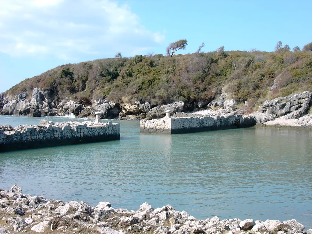
© Gabriele Altimari · CC BY 3.0
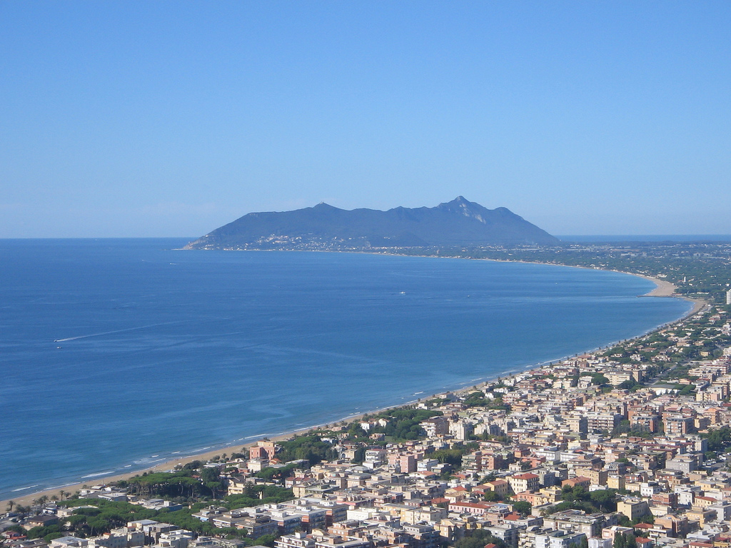
© Zombarieglio · CC BY-SA 4.0
© Earth Science and Remote Sensing Unit, NASA Johnson Space Center · Public domain
© Earth Science and Remote Sensing Unit, Lyndon B. Johnson Space Center · Public domain
© Earth Science and Remote Sensing Unit, Lyndon B. Johnson Space Center · Public domain
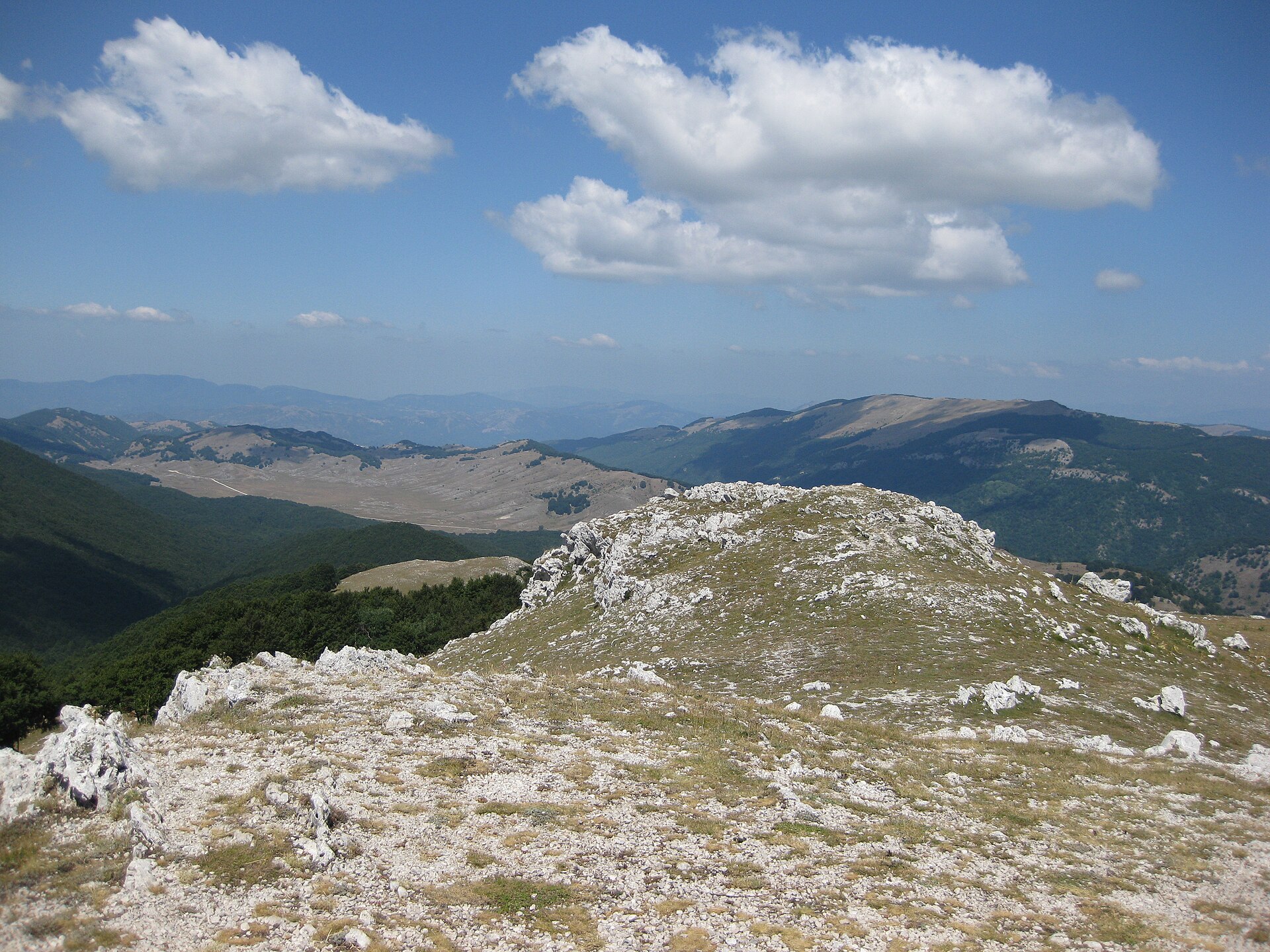
© trolvag · CC BY-SA 3.0
Sources and licences
- Wikidata: Q3895635
- OpenStreetMap: relation 6027421
- Official website: http://www.parcoaurunci.it/
- Wikipedia: it.wikipedia.org/wiki/Parco_naturale_dei_Monti_Aurunci
- WDPA: 178974
References
- cds.climate.copernicus.eu: climate · CC-BY-4.0
- registry.opendata.aws: elevation of the reference point, detailed relief · PD
- land.copernicus.eu: land cover, land cover change, sea share · COPERNICUS
- doi.org: population around the site · CC-BY-4.0
- wikidata.org: official area, establishment date, protected heritage, nearby cities and airport, access and peaks, lake depths, places to see, official website · CC0-1.0
- eea.europa.eu: bathing water quality, ecological status of waters · CC-BY-4.0
- en.eurovelo.com: EuroVelo cycle routes · ODbL-1.0
- cycling.waymarkedtrails.org: cycle routes · ODbL-1.0
- opentopodata.org: elevations · PD
- forest-fire.emergency.copernicus.eu: wildfires · COPERNICUS
- globalforestwatch.org: tree cover loss · CC-BY-4.0
- gbif.org: seasonality of sightings, invasive alien species, observed species · CC-BY-4.0
- europe-geology.eu: geology · CC-BY-4.0
- hydrosheds.org: lakes · CC-BY-4.0
- natura2000.eea.europa.eu: Natura 2000 habitats and species · CC-BY-4.0
- openstreetmap.org: official name, access and peaks, places to see · ODbL-1.0
- earthobservatory.nasa.gov: night light · PD
- hiking.waymarkedtrails.org: route difficulty · ODbL-1.0
- nsidc.org: snow cover · PD
- wikidata.org: Wikipedia article · CC-BY-SA-4.0
Data © OpenStreetMap contributors (ODbL), Wikidata (CC0) and the sources cited.