Italy · Terrestrial
Aguzzano Urban Regional Park
Regional nature park of 57 hectares in Italy, established in 1997.
Overview
Regional nature park of 57 hectares in Italy, established in 1997.
Aguzzano Urban Regional Park is a regional nature park in Italy (Europe). It is a predominantly terrestrial area. Established on 6 October 1997, it covers about 57 hectares.
Frequently asked questions
Where is Aguzzano Urban Regional Park?
In Italy (Europe). Representative point: 41.9346° N, 12.5630° E.
How large is Aguzzano Urban Regional Park?
About 57 hectares. It is the 127th largest of the 128 regional parks in Italy covered by Parkavela.
When was Aguzzano Urban Regional Park established?
On 6 October 1997.
What habitats and landscapes does Aguzzano Urban Regional Park include?
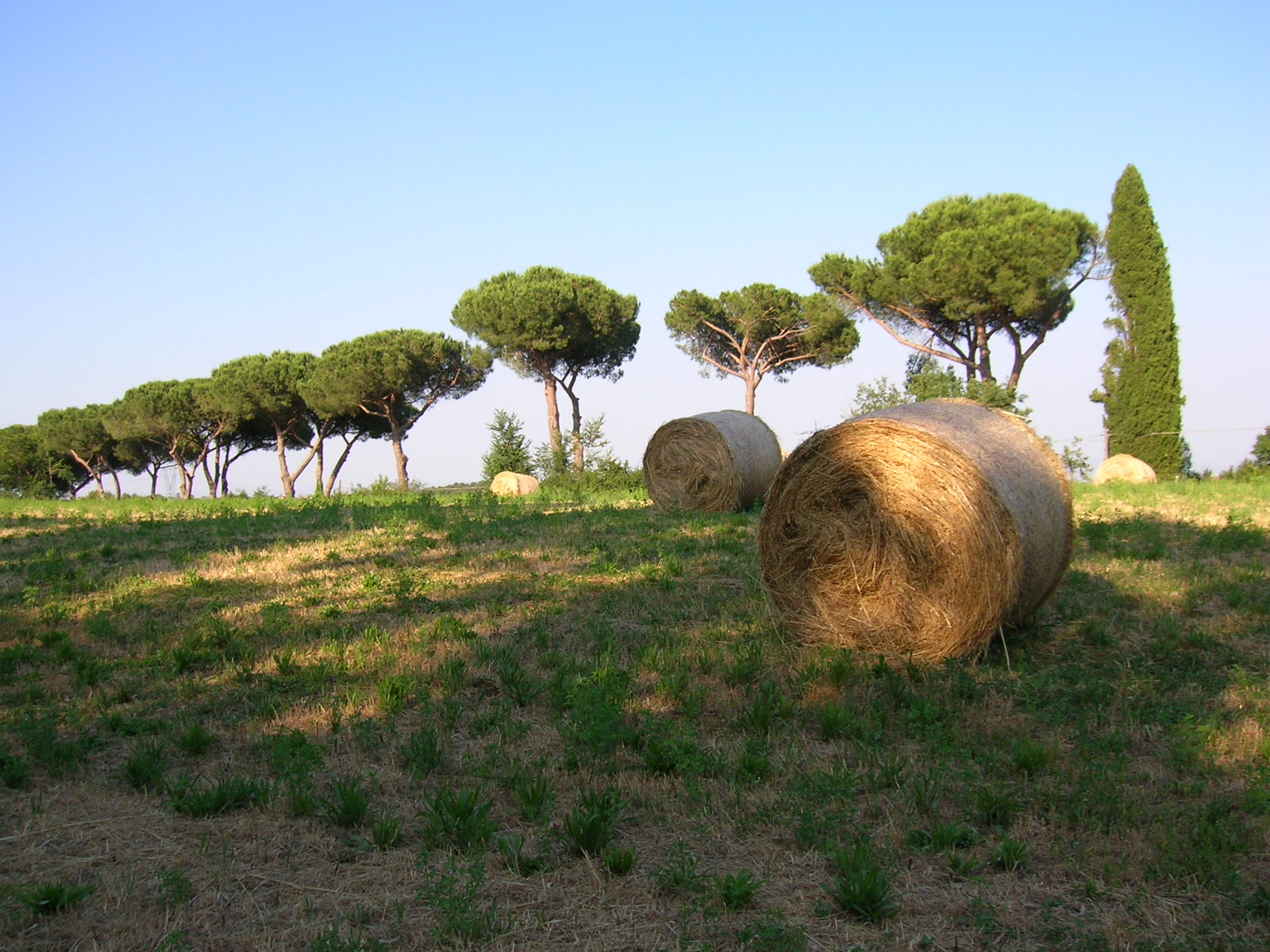
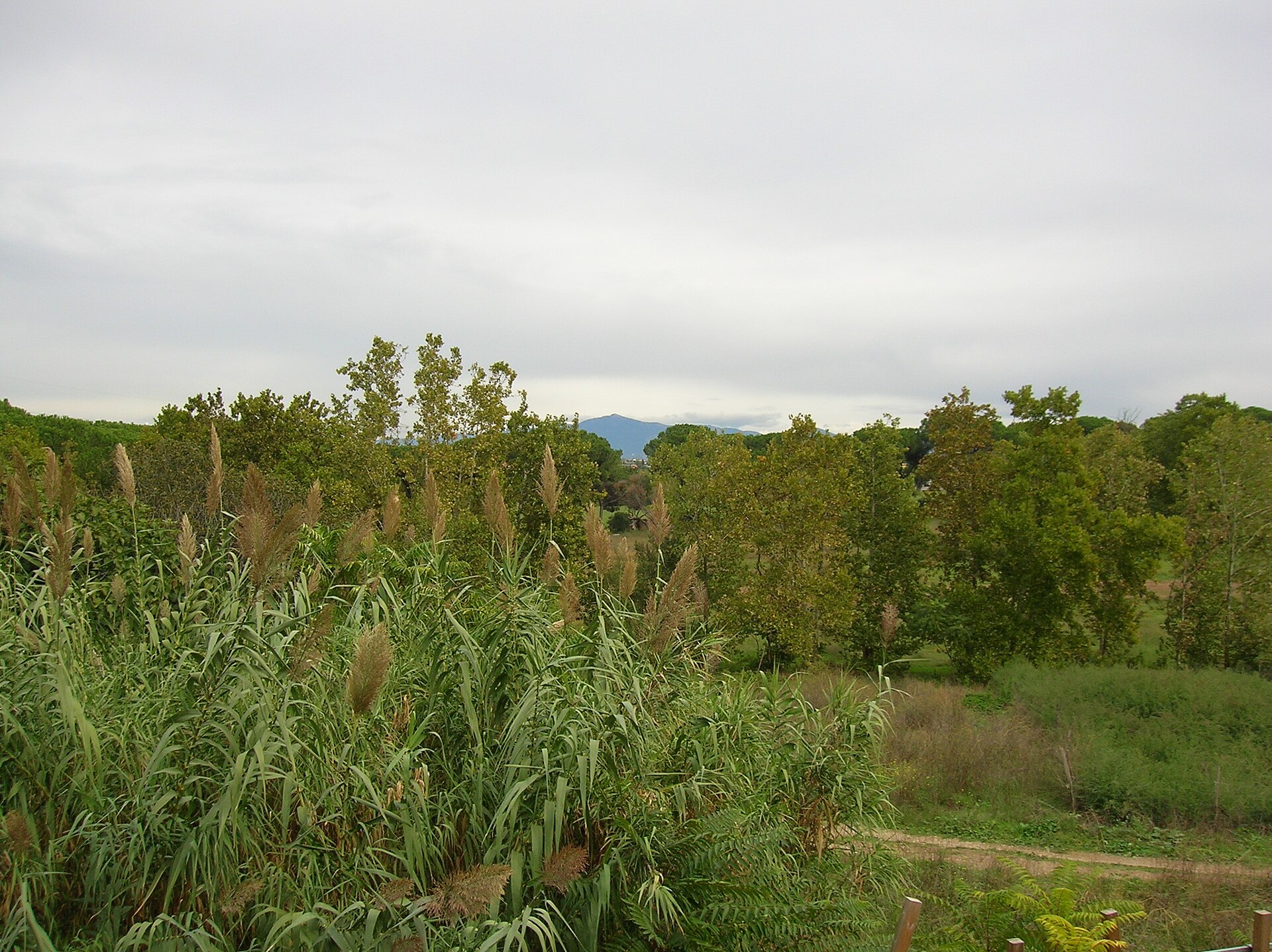
A terrestrial area, where land cover is dominated by farmland (83%).
What rocks lie beneath Aguzzano Urban Regional Park?
According to the European 1:1 million geological map (EGDI), the bedrock consists mainly of basalts (100% of sampled points). These are mostly igneous rocks. The geological units date mainly from the Quaternary (100% of sampled points).
When is the best time to visit Aguzzano Urban Regional Park?
Best time to visit: May and June, with average temperatures of 18 to 23 °C and moderate rainfall.
What is the nearest large city to Aguzzano Urban Regional Park?
Nearest towns of over 50,000 people, as the crow flies: Rome (8 km) and Tivoli (19 km). Nearest airport: Rome Ciampino (CIA), about 15 km away.
How can I reach Aguzzano Urban Regional Park by train?
The nearest railway station is Palmiro Togliatti, about 3 km from the site boundary.
Where can I get visitor information on site?
La Casa del Parco.
Which species can be seen in Aguzzano Urban Regional Park?
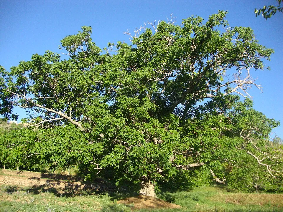
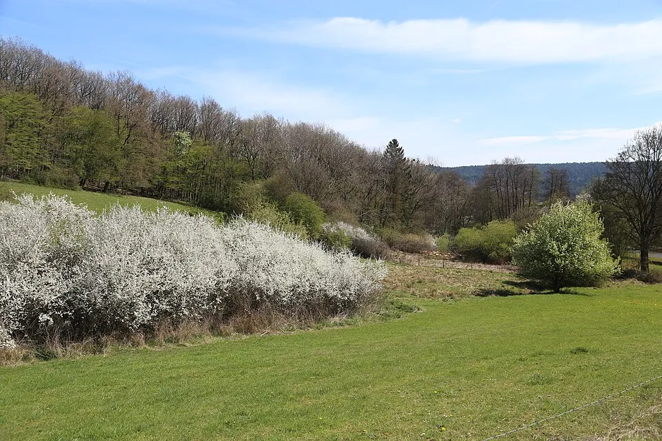
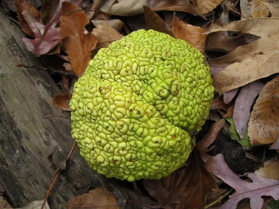
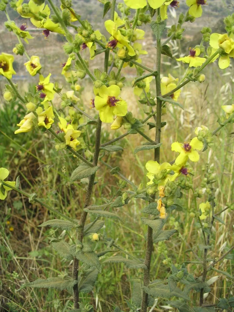
Among the species most often recorded on GBIF are Juglans regia (Persian Walnut), Prunus spinosa (Blackthorn), Maclura pomifera (Osage-orange) and Verbascum sinuatum (Wavyleaf mullein).
What is the official website of Aguzzano Urban Regional Park?
© OpenStreetMap
Download the boundary: GeoJSON · GPX Boundary © OpenStreetMap contributors (ODbL).
Geography
The representative point of the site lies at around 27 m above sea level. Over the 1996–2025 period, the mean annual temperature is about 16.0 °C and total precipitation reaches roughly 886 mm per year. The warmest month is usually August, the coolest January, and the wettest November. According to the European 1:1 million geological map (EGDI), the bedrock consists mainly of basalts (100% of sampled points). These are mostly igneous rocks. The geological units date mainly from the Quaternary (100% of sampled points).
Area
- Area
- 57 ha
- Elevation
- 27 m
- Coordinates
- 41.9346, 12.563
Bedrock
- Basalts 100 %
Igneous rocks 100 % · Main age: Quaternary (100%)
Source: EGDI 1:1M geological map (EuroGeoSurveys and national geological surveys), CC BY 4.0 · 14 sampled points within the site.
Climate
● Mean temperature (°C) · ▮ Precipitation (mm)
Source: Copernicus ERA5-Land (C3S, doi:10.24381/cds.68d2bb30), monthly averages 1996–2025 interpolated to the representative point, temperatures adjusted for elevation.
Contains modified Copernicus Climate Change Service information 2026. Neither the European Commission nor ECMWF is responsible for any use that may be made of the Copernicus information or data it contains.
Natural habitats
According to CORINE Land Cover (2018), the site is mainly made up of farmland (83%) and built-up or developed land (17%).
Biodiversity
Based on occurrences aggregated by GBIF, several species are regularly recorded within the site. Among the most frequent are Juglans regia (Persian Walnut), Prunus spinosa (Blackthorn), Maclura pomifera (Osage-orange) and Verbascum sinuatum (Wavyleaf mullein). The full list of documented taxa is shown below.
Species to look out for
Plant
Osage-orange
Maclura pomifera13 records © Thomas R Machnitzki (thomasmachnitzki.com) · CC BY 3.0

Observed species
Occurrences documented via GBIF; they are neither an exhaustive inventory nor proof of current presence.
- Persian Walnut · Juglans regia · 17
- Blackthorn · Prunus spinosa · 16
- Osage-orange · Maclura pomifera · 13
- Wavyleaf mullein · Verbascum sinuatum · 12
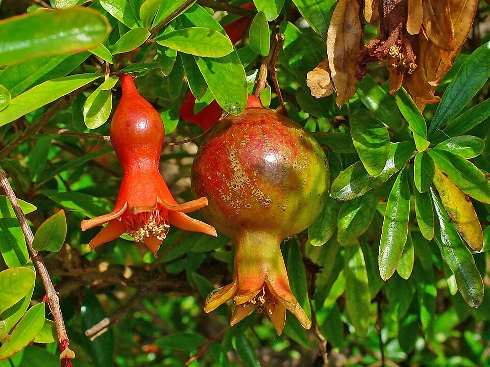
- Pomegranate · Punica granatum · 11
- Nettle Tree · Celtis australis · 9
- Tree-of-heaven · Ailanthus altissima · 9
- White campion · Silene latifolia · 9
- Eurasian plumbago · Plumbago europaea · 8
- Fennel · Foeniculum vulgare · 7
- Rampion bellflower · Campanula rapunculus · 7
- Common Ivy · Hedera helix · 7
+18 more species
- Squirting Cucumber · Ecballium elaterium · 6
- Pennyroyal · Mentha pulegium · 6
- Field Bindweed · Convolvulus arvensis · 6
- Elmleaf blackberry · Rubus ulmifolius · 6
- Agrimony · Agrimonia eupatoria · 6
- Mediterranean hartwort · Tordylium apulum · 6
- Wild radish · Raphanus raphanistrum · 6
- Small-leaved elm · Ulmus minor · 6
- Perennial Wall-rocket · Diplotaxis tenuifolia · 6
- Butterfly orchid · Anacamptis papilionacea · 5
- Dwarf Elder · Sambucus ebulus · 5
- Dove's-foot Crane's-bill · Geranium molle · 5
- Purple Viper's-bugloss · Echium plantagineum · 5
- Wild Carrot · Daucus carota · 5
- Blessed milkthistle · Silybum marianum · 5
- Oleander · Nerium oleander · 5
- Italian lords-and-ladies · Arum italicum · 5
- Hoary cress · Lepidium draba · 5
Records: GBIF.org (CC-BY). Names: Wikidata (CC0), GBIF. Photos: Wikimedia Commons.
Conservation challenges
The primary purpose of the site is to preserve its natural habitats and the biodiversity they support. The species recorded (Biodiversity tab) reflect its ecological value. Its status as a regional nature park sets the regulatory framework for its protection.
At night, 100% of the area gives off artificial light detectable from space (NASA VIIRS Black Marble composite, 2016). Built-up and developed land (buildings, business areas, roads, quarries) covers 17% of the area, and farmland 83% (CORINE Land Cover). Since 2000, 9 invasive alien species have been recorded within the site (GBIF observations), one of them listed as of Union concern under EU Regulation 1143/2014. Among them: Ailanthus altissima (Tree-of-heaven), Acacia dealbata (Silver Wattle) and Amaranthus retroflexus (Common Amaranth).
Pressure indicators
Fires since 2016
0
No large fire mapped (fires over about 30 ha)
Light at night
100%
of the area gives off artificial light visible from space
DarkLit
Built-up land
17%
buildings, business areas, roads, quarries · farmland 83%
Invasive alien species
9
incl. 1 of EU concern · since 2000
 Tree-of-heavenEU
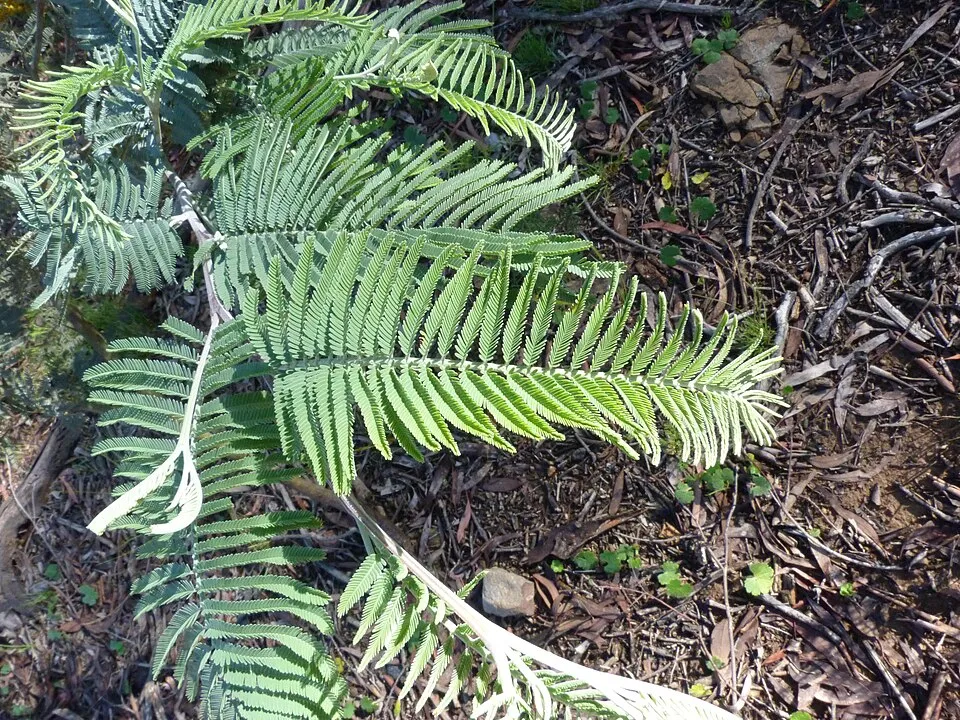 Silver Wattle
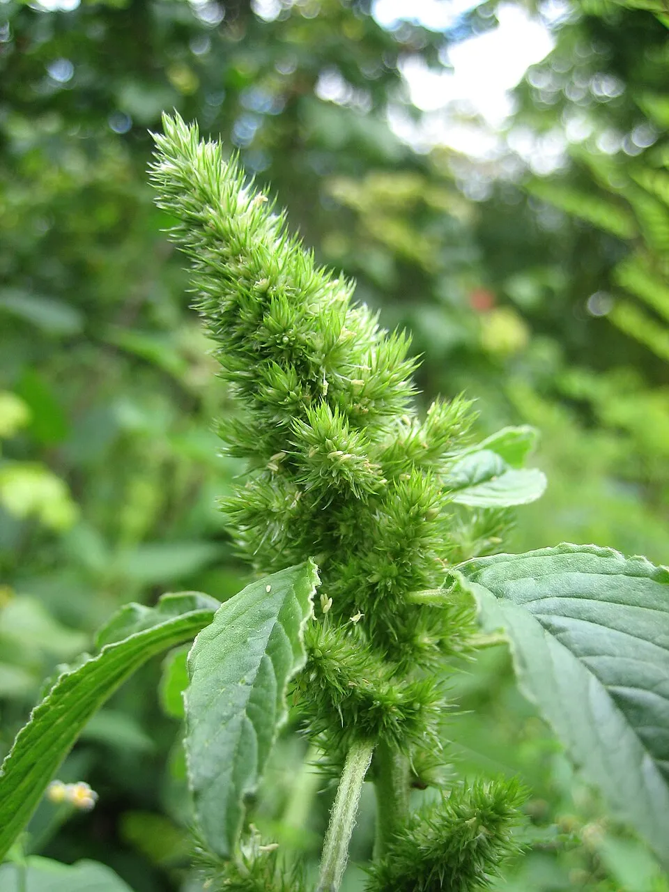 Common Amaranth
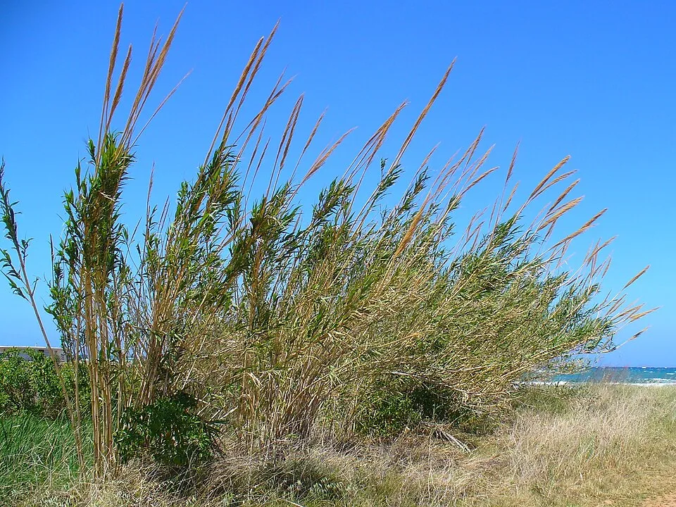 Giant Reed
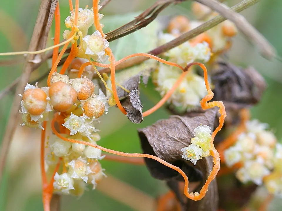 Field dodder
Virginia creeper
 Black locust
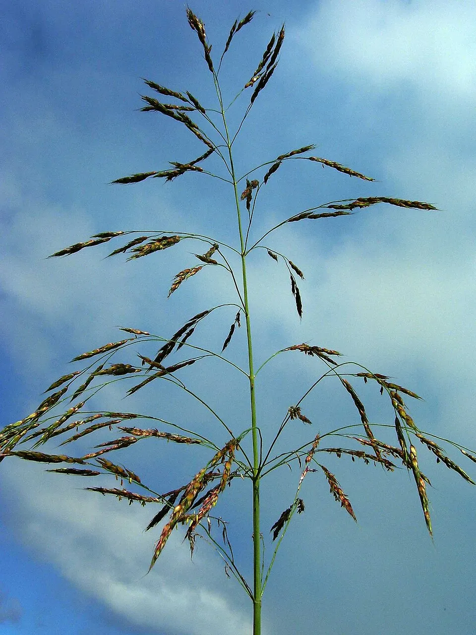 Johnson grass
Photos: Tree-of-heaven © Darkone · CC BY-SA 2.5; Silver Wattle © Donald Hobern from Copenhagen, Denmark · CC BY 2.0; Common Amaranth © Lynk media · CC BY-SA 3.0; Giant Reed © H. Zell · CC BY-SA 3.0; Field dodder © Kristian Peters -- Fabelfroh · CC BY-SA 3.0; Black locust © This Photo was taken by Wolfgang Moroder. Feel free to use my photos, but please mention me as the author and send me a message. This image is not in the public domain. Please respect the copyright protection. It may only be used according… · CC BY-SA 3.0; Johnson grass © Tauʻolunga · CC BY-SA 3.0
Sources: Global Forest Change (Hansen et al., University of Maryland, via Global Forest Watch, CC-BY 4.0); EFFIS, European Commission / Copernicus; NASA Black Marble 2016 (public domain); CORINE Land Cover 2018 (Copernicus) or MODIS.
Invasive alien species: Global Register of Introduced and Invasive Species (ISSG, CC BY 4.0); Union list, Regulation (EU) 1143/2014 (INBO, CC0); GBIF.org records (CC0 / CC BY 4.0), at least 2 per species.
Practical information
Cities and airport
- Rome
8 km as the crow flies - Tivoli
19 km as the crow flies - Airport: Rome Ciampino (CIA)
15 km as the crow flies
Visitor information
- La Casa del Parco
< 1 km from the site boundary
Data © OpenStreetMap contributors (ODbL) · Wikidata (CC0)
Access and visiting
The nearest railway station is Palmiro Togliatti, about 3 km from the site boundary. Nearest towns of over 50,000 people, as the crow flies: Rome (8 km) and Tivoli (19 km). Nearest airport: Rome Ciampino (CIA), about 15 km away. About 2.9 million people live within 20 km of the site boundary, 1.6 million of them within 10 km (GHSL estimate, 2020). This population has grown by about 9% since 2000. Visitor information on site: La Casa del Parco. To plan a visit (access, opening periods, visitor rules), it is best to consult the official information from the managing body and the official website listed in this page's sources.
Source: OpenStreetMap (ODbL), Wikidata (CC0), October 2026.
When to visit
Best time to visit: May and June, with average temperatures of 18 to 23 °C and moderate rainfall. Precipitation peaks in November (up to 130 mm per month). Day length ranges from about 9 h 08 min in December to 15 h 13 min in June. Wildlife records published on GBIF peak for birds (December and January) and plants (June and July). These peaks also reflect when observers are most active.
Source: Copernicus ERA5-Land (C3S), monthly averages 1996–2025 at the representative point, temperatures adjusted for elevation.
Contains modified Copernicus Climate Change Service information 2026. Neither the European Commission nor ECMWF is responsible for any use that may be made of the Copernicus information or data it contains.
Wildlife records calendar
JFMAMJJASOND
Birds
Plants
Monthly records published on GBIF (CC-BY), relative to the busiest month; also reflects observer activity.
Gallery
© Patafisik · CC BY-SA 3.0
© Patafisik · Public domain
© Rarelibra, Patafisik · Public domain
© Patafisik · Public domain
© Patafisik · CC BY-SA 3.0
© Patafisik · CC BY-SA 3.0
Sources and licences
- Wikidata: Q3895757
- OpenStreetMap: relation 9357332
- Official website: https://romanatura.roma.it/aguzzano
- Wikipedia: it.wikipedia.org/wiki/Parco_regionale_urbano_di_Aguzzano
- WDPA: 166439
References
- cds.climate.copernicus.eu: climate · CC-BY-4.0
- registry.opendata.aws: elevation of the reference point, detailed relief · PD
- land.copernicus.eu: land cover, land cover change, sea share · COPERNICUS
- doi.org: population around the site · CC-BY-4.0
- wikidata.org: official area, establishment date, protected heritage, nearby cities and airport, access and peaks, lake depths, places to see, official website · CC0-1.0
- eea.europa.eu: bathing water quality, ecological status of waters · CC-BY-4.0
- en.eurovelo.com: EuroVelo cycle routes · ODbL-1.0
- cycling.waymarkedtrails.org: cycle routes · ODbL-1.0
- opentopodata.org: elevations · PD
- forest-fire.emergency.copernicus.eu: wildfires · COPERNICUS
- globalforestwatch.org: tree cover loss · CC-BY-4.0
- gbif.org: seasonality of sightings, invasive alien species, observed species · CC-BY-4.0
- europe-geology.eu: geology · CC-BY-4.0
- hydrosheds.org: lakes · CC-BY-4.0
- openstreetmap.org: official name, access and peaks, places to see · ODbL-1.0
- earthobservatory.nasa.gov: night light · PD
- nsidc.org: snow cover · PD
- wikidata.org: Wikipedia article · CC-BY-SA-4.0
Data © OpenStreetMap contributors (ODbL), Wikidata (CC0) and the sources cited.