
Bird
Hooded Crow
Corvus cornix92 records © Ricardo Tulio Gandelman from Rio de Janeiro, Brazil · CC BY 2.0
Italy · Terrestrial
Regional nature park of 14,985 hectares in Italy, established in 1997.
Regional nature park of 14,985 hectares in Italy, established in 1997.
Veio Regional Park is a regional nature park in Italy (Europe). It is a predominantly terrestrial area. Established on 6 October 1997, it covers about 14,985 hectares.
Protected as a regional nature park. International labels and designations: Natura 2000 network (1 site: “Valle del Cremera - Zona del Sorbo”).
In Italy (Europe). Representative point: 42.0661° N, 12.4303° E.
About 14,985 hectares (150 km²). It is the 34th largest of the 128 regional parks in Italy covered by Parkavela.
On 6 October 1997.
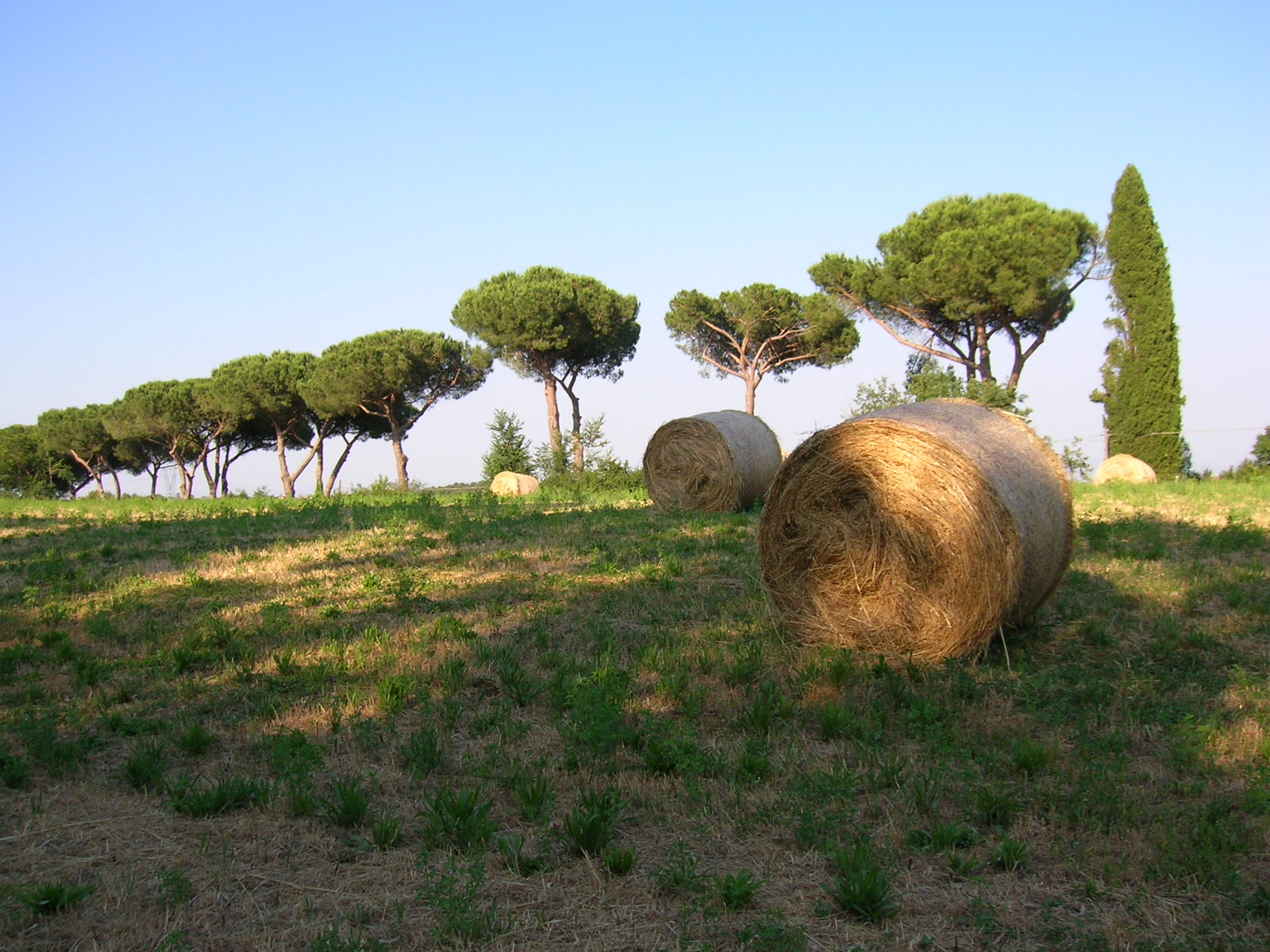
A terrestrial area, where land cover is dominated by farmland (79%).
According to the European 1:1 million geological map (EGDI), the bedrock consists mainly of basalts (50% of sampled points) and rhyolites (44%). These are mostly igneous rocks. The geological units date mainly from the Quaternary (100% of sampled points).
Monte Musino, at 376 m (OpenStreetMap).
Monte Musino (376 m), Monte Broccoleto (369 m), Castellaccio (367 m), Monte Formello (361 m) and Monte Quadraro (343 m) (OpenStreetMap).
Natura 2000 network (1 site: “Valle del Cremera - Zona del Sorbo”).
Best time to visit: from May to September, with average temperatures of 17 to 26 °C and moderate rainfall.
1 viewpoint, 9 waterfalls and 5 caves, including Cascata Acquaforte, Utero degli Inferi, Cascata del fosso degli Olmetti and Cascata dell'Inferno (OpenStreetMap).
4 campsites, including Agriturismo Montecaminetto, Happy Village and Seven Hills (OpenStreetMap).
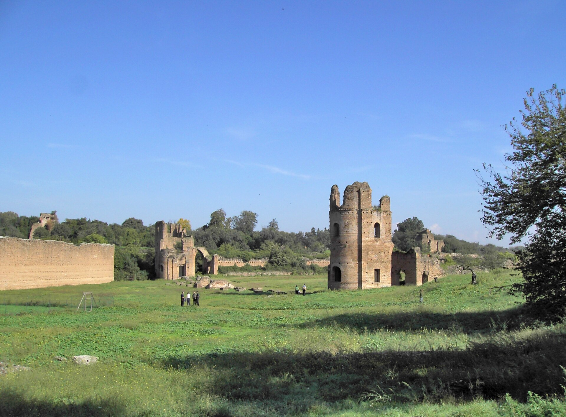
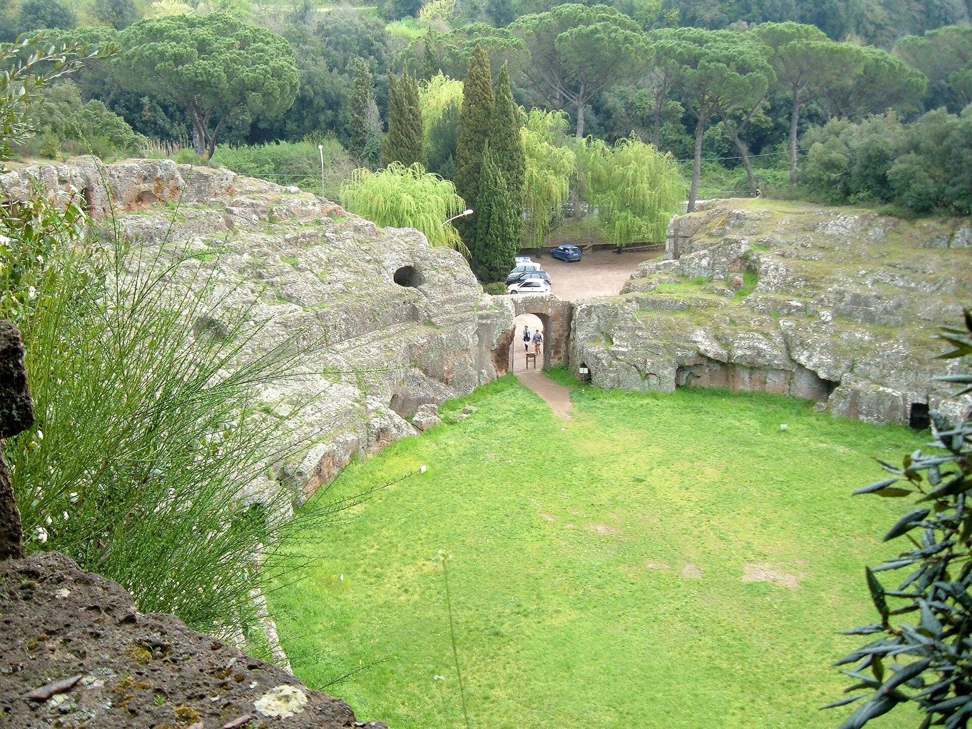
Yes. According to Wikidata, 7 monuments protected as Italian national cultural heritage stand within the boundary. For example: “Madonna del Sorbo” in Formello, “Arch of Malborghetto” in Roma and “Portonaccio” in Roma.
Nearest towns of over 50,000 people, as the crow flies: Rome (7 km) and Tivoli (25 km). Nearest airport: Rome Ciampino (CIA), about 19 km away.
The nearest railway station is La Storta, less than 1 km from the site boundary.
Yes. Waymarked hiking routes listed in OpenStreetMap: 33, including Via Francigena and Via Romea. The “VF · Via Francigena - 07 Latium” route runs for about 24 km through the site, with some 110 m of ascent on its longest section.
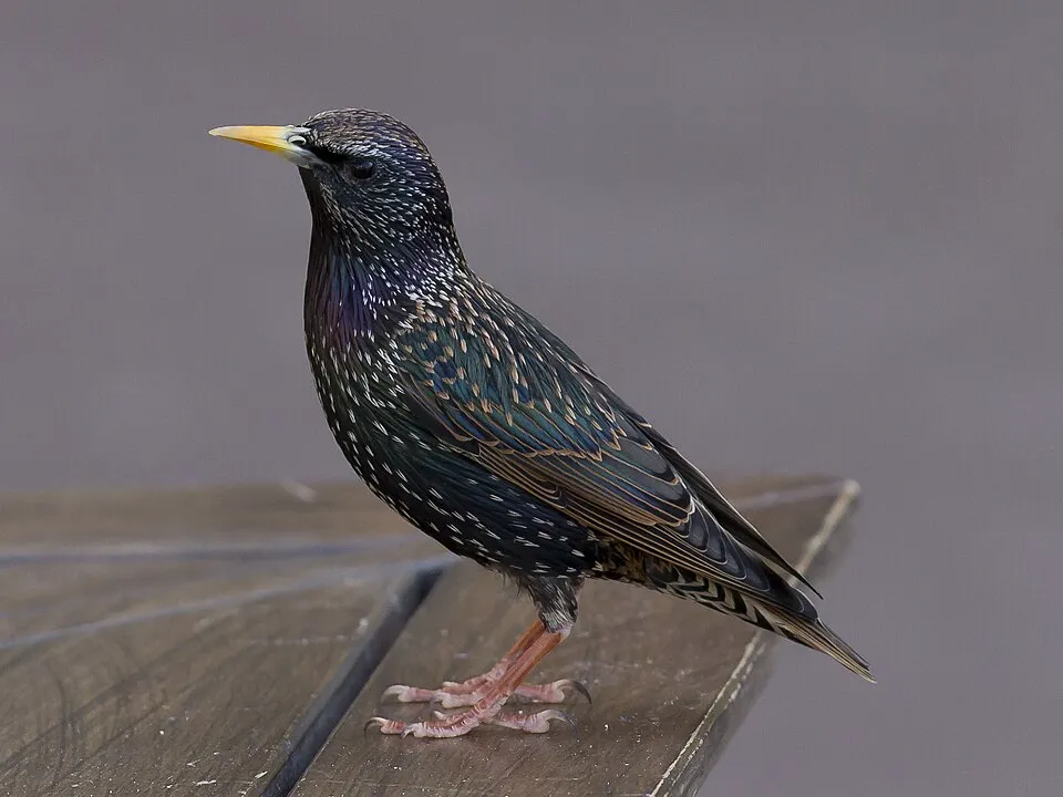
Among the species most often recorded on GBIF are Corvus cornix (Hooded Crow), Turdus merula (Common Blackbird), Erithacus rubecula (European robin) and Sturnus vulgaris (Common Starling).
© OpenStreetMap
Download the boundary: GeoJSON · GPX Boundary © OpenStreetMap contributors (ODbL).
The representative point of the site lies at around 140 m above sea level. Over the 1996–2025 period, the mean annual temperature is about 15.2 °C and total precipitation reaches roughly 939 mm per year. The warmest month is usually August, the coolest January, and the wettest November. According to the European 1:1 million geological map (EGDI), the bedrock consists mainly of basalts (50% of sampled points) and rhyolites (44%). These are mostly igneous rocks. The geological units date mainly from the Quaternary (100% of sampled points).
Terrain: Mapzen Terrain Tiles (SRTM, USGS)
Igneous rocks 94 % · Sedimentary rocks 6 % · Main age: Quaternary (100%)
Source: EGDI 1:1M geological map (EuroGeoSurveys and national geological surveys), CC BY 4.0 · 16 sampled points within the site.
Data © OpenStreetMap contributors (ODbL)
● Mean temperature (°C) · ▮ Precipitation (mm)
Source: Copernicus ERA5-Land (C3S, doi:10.24381/cds.68d2bb30), monthly averages 1996–2025 interpolated to the representative point, temperatures adjusted for elevation.
Contains modified Copernicus Climate Change Service information 2026. Neither the European Commission nor ECMWF is responsible for any use that may be made of the Copernicus information or data it contains.
According to CORINE Land Cover (2018), the site is mainly made up of farmland (79%), forests (13%) and built-up or developed land (6%). Elevation ranges from about 20 m to 376 m (highest point: Monte Musino). The Natura 2000 site overlapping the area lists 4 habitats of European interest (2 priority), the most extensive being Pannonian-Balkanic turkey oak-sessile oak forests, pseudo-steppe with grasses and annuals of the Thero-Brachypodietea and Tilio-Acerion forests of slopes, screes and ravines.
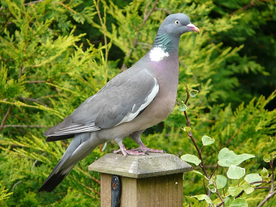
Based on occurrences aggregated by GBIF, several species are regularly recorded within the site. Among the most frequent are Corvus cornix (Hooded Crow), Turdus merula (Common Blackbird), Erithacus rubecula (European robin) and Sturnus vulgaris (Common Starling). The full list of documented taxa is shown below. The overlapping Natura 2000 site lists 15 species of European interest: 5 mammals, 3 reptiles, 2 amphibians, 4 fish and 1 invertebrate.
From the official form of the Natura 2000 site overlapping the area (areas reported for the whole site).
Grey wolf (Canis lupus), Crested porcupine (Hystrix cristata), European pine marten (Martes martes), Hazel dormouse (Muscardinus avellanarius), Western Polecat (Mustela putorius)
Four-lined snake (Elaphe quatuorlineata), Dice snake (Natrix tessellata), Aesculapian Snake (Zamenis longissimus)
Horse Barbel (Barbus tyberinus), Arno goby (Padogobius nigricans), South European Roach (Rutilus rubilio), Italian Riffle Dace (Telestes muticellus)
Source: Natura 2000 standard data forms (EEA, CC-BY 4.0). Not exhaustive: sensitive species are not published.
Bird
92 records © Ricardo Tulio Gandelman from Rio de Janeiro, Brazil · CC BY 2.0


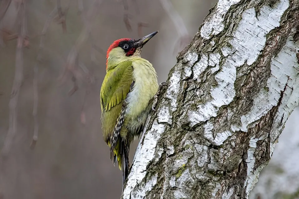
Occurrences documented via GBIF; they are neither an exhaustive inventory nor proof of current presence.
Records: GBIF.org (CC-BY). Names: Wikidata (CC0), GBIF. Photos: Wikimedia Commons.
The primary purpose of the site is to preserve its natural habitats and the biodiversity they support. The species recorded (Biodiversity tab) reflect its ecological value. The designations it holds frame its management and the control of land use.
According to Global Forest Change data (University of Maryland, Global Forest Watch), about 100 ha of tree cover were lost within the boundary between 2001 and 2023 (under 1% of its area), peaking in 2019 and 2020. These losses include logging, storms and fires, and do not account for regrowth. According to CORINE Land Cover, land cover here remained almost unchanged between 1990 and 2018 (less than 0.5% of the area affected); only some 25 ha were built over. Since 2016, the European EFFIS system (Copernicus) has mapped 2 fires here, burning about 119 ha within the boundary; the largest, in July 2017 (near Sacrofano), covered 93 ha. At night, 90% of the area gives off artificial light detectable from space (NASA VIIRS Black Marble composite, 2016). Built-up and developed land (buildings, business areas, roads, quarries) covers 6% of the area, and farmland 79% (CORINE Land Cover). According to the Natura 2000 forms, of 4 assessed habitats of European interest, 1 is in average or reduced condition and the rest in good condition. According to the Water Framework Directive assessment (2022 river basin management plans, data 2011–2020), none of the 41 km of rivers assessed within the site reaches good ecological status; they mostly have poor ecological status. Since 2000, 10 invasive alien species have been recorded within the site (GBIF observations), 2 of them listed as of Union concern under EU Regulation 1143/2014. Among them: Broussonetia papyrifera (Paper mulberry), Ailanthus altissima (Tree-of-heaven) and Myiopsitta monachus (Monk Parakeet).
100 ha
2001–2023 · < 1% of the area
119 ha
burned within the boundary (2 mapped fires)
90%
of the area gives off artificial light visible from space
6%
buildings, business areas, roads, quarries · farmland 79%
< 0.5%
of the area changed, 1990–2018 · CORINE
0%
of the 41 km of assessed rivers in good or high ecological status · WFD 2022
assessments 2011–2020
10
incl. 2 of EU concern · since 2000
 Paper mulberryEU
 Tree-of-heavenEU
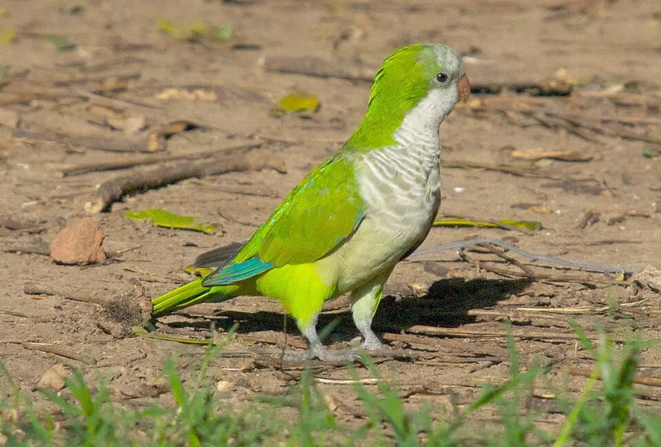 Monk Parakeet
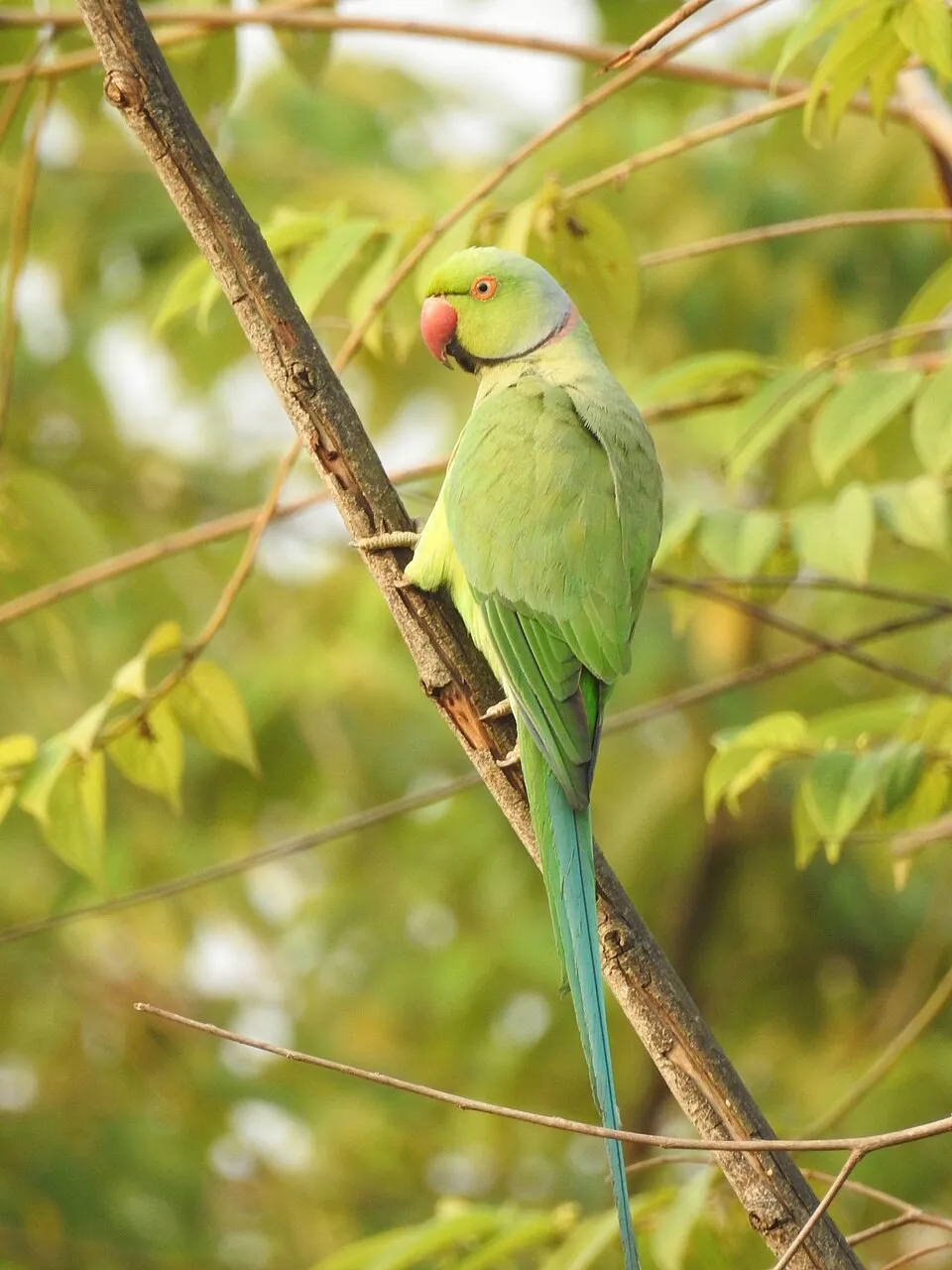 Rose-ringed Parakeet
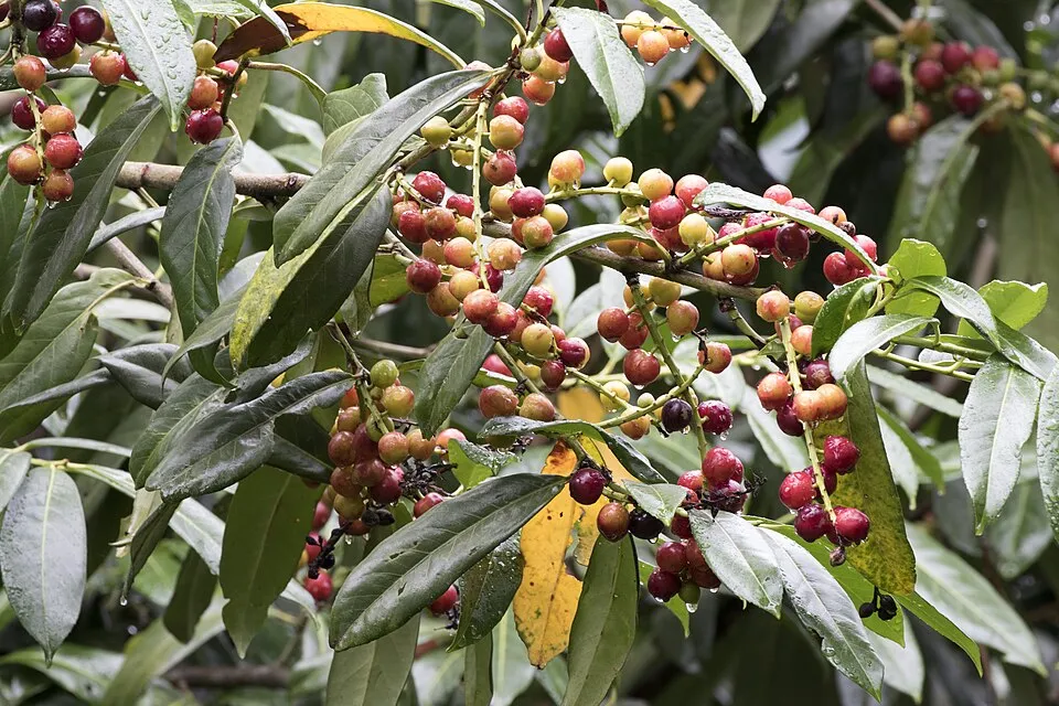 Cherry laurel
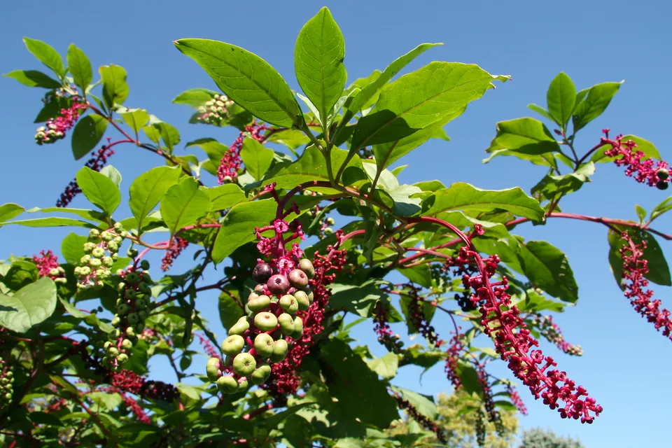 American pokeweed
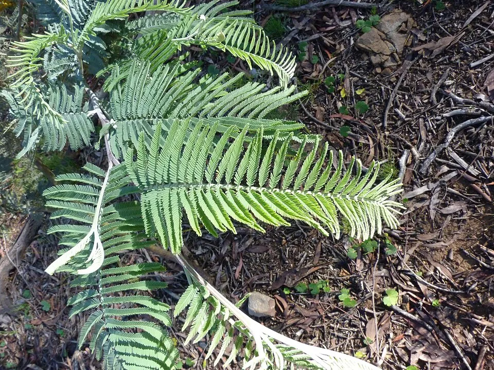 Silver Wattle
 Pampas grass
Photos: Paper mulberry © Didier Descouens · CC BY-SA 4.0; Tree-of-heaven © Darkone · CC BY-SA 2.5; Monk Parakeet © Kevin Jones · CC BY 2.0; Rose-ringed Parakeet © Afsarnayakkan · CC BY 3.0; Cherry laurel © Zeynel Cebeci · CC BY-SA 4.0; American pokeweed © Huw Williams (Huwmanbeing) · Public domain; Silver Wattle © Donald Hobern from Copenhagen, Denmark · CC BY 2.0; Pampas grass © Solipsist · CC BY-SA 2.0
Sources: Global Forest Change (Hansen et al., University of Maryland, via Global Forest Watch, CC-BY 4.0); EFFIS, European Commission / Copernicus; NASA Black Marble 2016 (public domain); CORINE Land Cover 2018 (Copernicus) or MODIS.
CORINE Land Cover Change 1990–2018: generated using European Union's Copernicus Land Monitoring Service information (EEA), aggregated by Parkavela; DOI 10.2909/f30f1000-7cf8-43bb-872c-5eb093911b24.
Ecological status of water bodies: European Environment Agency, WISE – Water Framework Directive, 3rd river basin management plans (2022), CC BY 4.0. Official national classification, not comparable between countries.
Invasive alien species: Global Register of Introduced and Invasive Species (ISSG, CC BY 4.0); Union list, Regulation (EU) 1143/2014 (INBO, CC0); GBIF.org records (CC0 / CC BY 4.0), at least 2 per species.
1 viewpoint · 9 waterfalls · 5 caves
4 campsites
33 waymarked routes listed, including:
Signed cycle routes: this does not mean that cycling is allowed on footpaths.
Data © OpenStreetMap contributors (ODbL) · Wikidata (CC0)
Contains information from EuroVelo GPX tracks downloaded from www.EuroVelo.com on 2026-10-22, which is made available here under the Open Database License (ODbL). EuroVelo® is a registered trademark of the ECF. Routes © OpenStreetMap contributors (ODbL), via Waymarked Trails
23.6 km within the site ↗ 109 m↘ 80 m 78–141 m
9.6 km within the site ↗ 64 m↘ 130 m 78–180 m
Tracks © OpenStreetMap contributors (ODbL), clipped to the boundary; elevation gain and profiles computed on the longest section from Mapzen Terrain Tiles (≈ 30 m), indicative only.
The nearest railway station is La Storta, less than 1 km from the site boundary. Nearest towns of over 50,000 people, as the crow flies: Rome (7 km) and Tivoli (25 km). Nearest airport: Rome Ciampino (CIA), about 19 km away. About 3 million people live within 20 km of the site boundary, 1.7 million of them within 10 km; some 44,000 people are estimated to live inside (GHSL estimate, 2020). This population has grown by about 10% since 2000. Waymarked hiking routes listed in OpenStreetMap: 33, including Via Francigena and Via Romea. The EuroVelo 5 (about 18 km) and EuroVelo 7 (about 14 km) cycle routes cross the site (EuroVelo). To see: 1 viewpoint, 9 waterfalls and 5 caves, including Cascata Acquaforte, Utero degli Inferi, Cascata del fosso degli Olmetti and Cascata dell'Inferno. Where to stay: 4 campsites, including Agriturismo Montecaminetto, Happy Village and Seven Hills. To plan a visit (access, opening periods, visitor rules), it is best to consult the official information from the managing body and the official website listed in this page's sources.
Source: OpenStreetMap (ODbL), Wikidata (CC0), October 2026.
According to Wikidata, 7 monuments protected as Italian national cultural heritage stand within the boundary. Among them are 4 prehistoric and archaeological sites and 3 religious buildings. Examples include “Madonna del Sorbo” in Formello, “Arch of Malborghetto” in Roma and “Portonaccio” in Roma.
Source: Wikidata (CC0), monuments in each country’s official heritage protection registers, at national or regional level. Each item links to its Wikidata entry.
Best time to visit: from May to September, with average temperatures of 17 to 26 °C and moderate rainfall. Precipitation peaks in November (up to 140 mm per month). Day length ranges from about 9 h 07 min in December to 15 h 14 min in June. Wildlife records published on GBIF peak for birds (December and January), plants (April and May), butterflies and moths (April and May) and dragonflies (May). These peaks also reflect when observers are most active.
Source: Copernicus ERA5-Land (C3S), monthly averages 1996–2025 at the representative point, temperatures adjusted for elevation.
Contains modified Copernicus Climate Change Service information 2026. Neither the European Commission nor ECMWF is responsible for any use that may be made of the Copernicus information or data it contains.
Monthly records published on GBIF (CC-BY), relative to the busiest month; also reflects observer activity.
Data © OpenStreetMap contributors (ODbL), Wikidata (CC0) and the sources cited.