France · Mixed
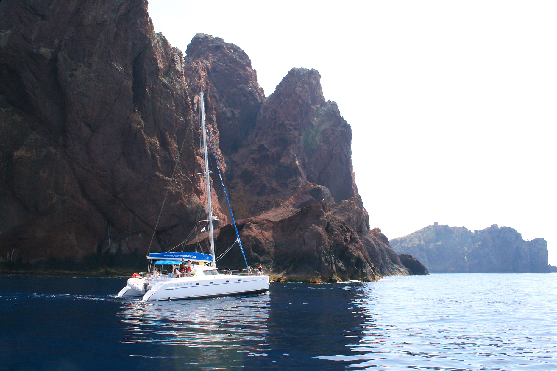
Scandola Nature Reserve
Nature reserve of 1,669 hectares in France, established in 1975.
Overview
Nature reserve of 1,669 hectares in France, established in 1975.
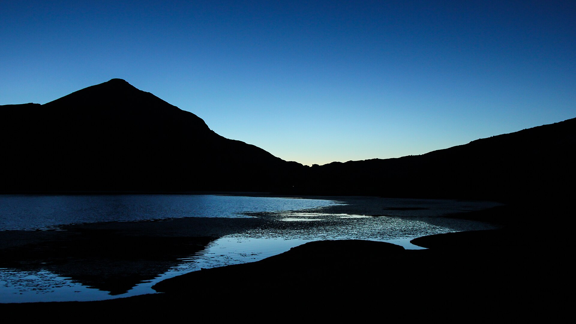
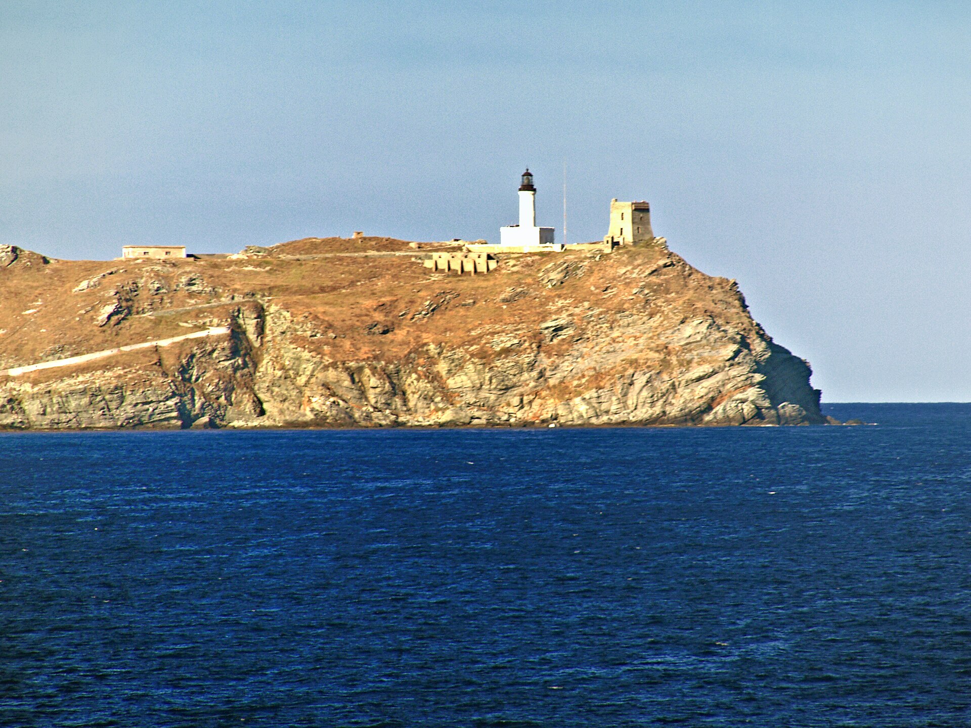
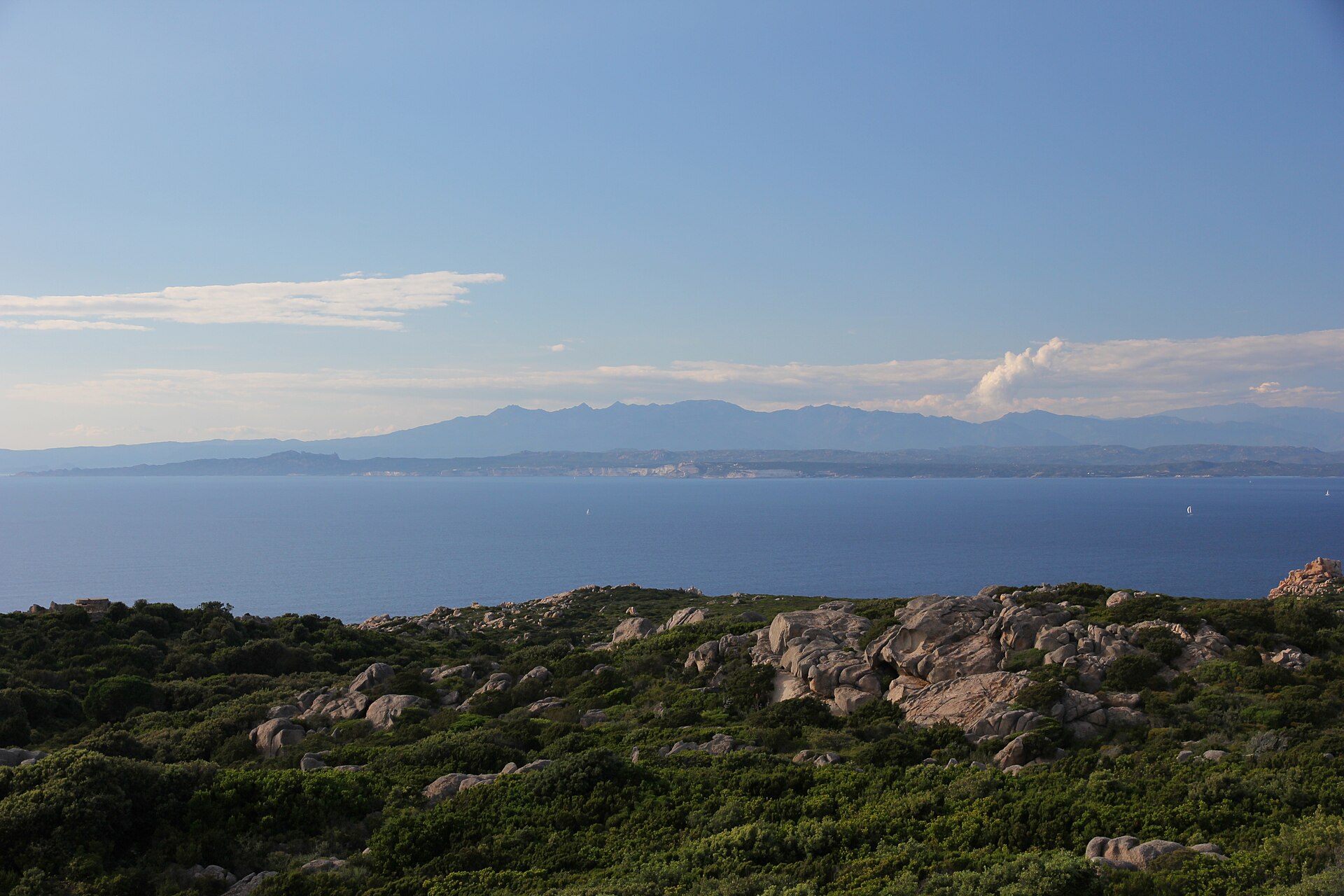
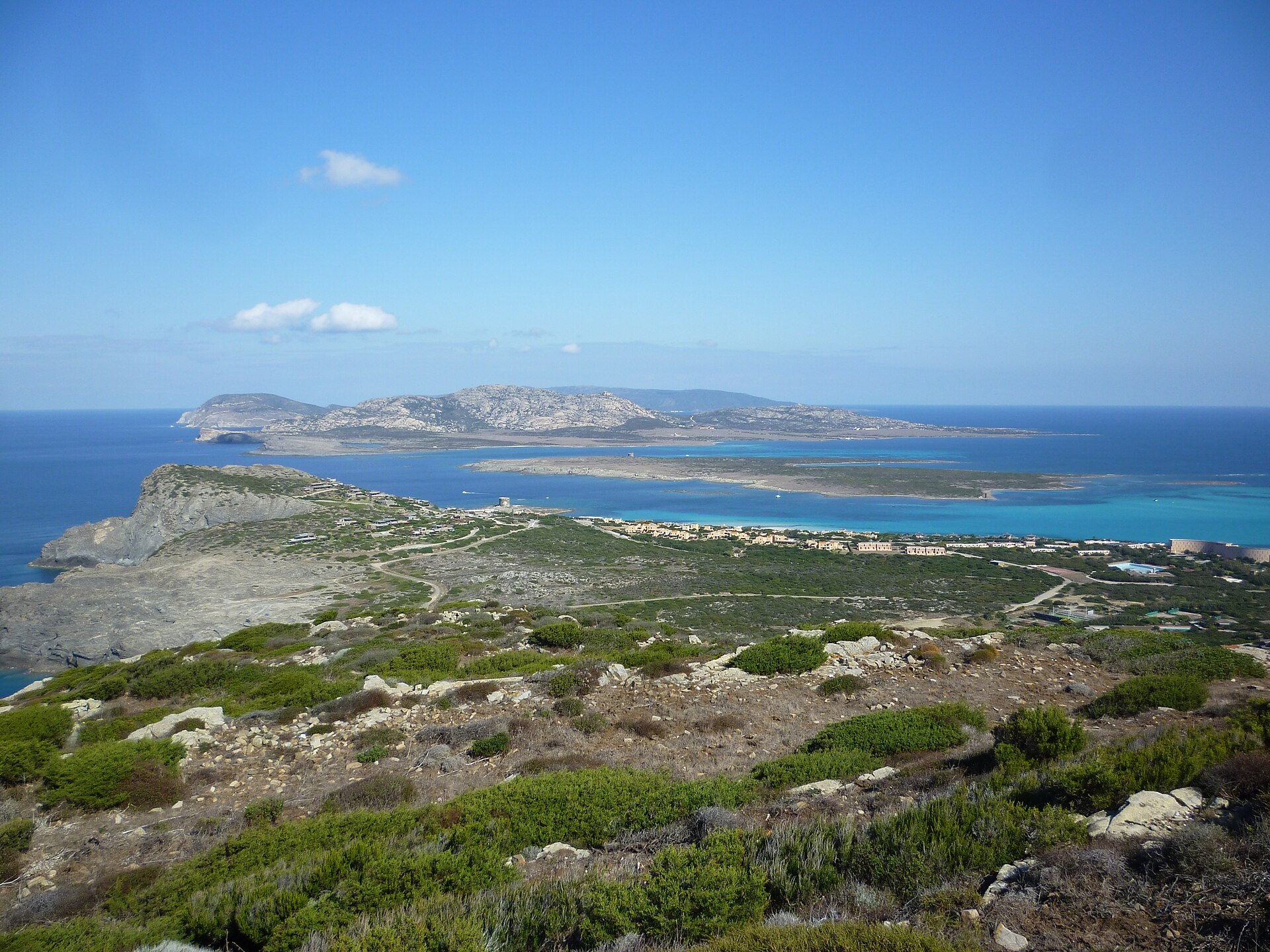
Scandola Nature Reserve is located in France (Europe). It covers both land and sea. Established on 9 December 1975, it covers about 1,669 hectares. The site is managed by Corsica Regional Natural Park.
Protections and designations
UNESCO World Heritage
Natura 2000 · habitats (SAC)
Natura 2000 · birds (SPA)
- Golfe de Porto et presqu'île de Scandola FR9410023
Protected as a nature reserve. International labels and designations: UNESCO World Heritage (“Gulf of Porto: Calanche of Piana, Gulf of Girolata, Scandola Reserve”) and Natura 2000 network (2 sites). Key dates: established in 1975, World Heritage listing in 1983, first Natura 2000 site under the Birds Directive in 2004 and first Natura 2000 site under the Habitats Directive in 2006.
In our collections
Timeline
-
1975
Established
-
1983
Inscribed as a UNESCO World Heritage Site Gulf of Porto: Calanche of Piana, Gulf of Girolata, Scandola Reserve
-
2004
First Natura 2000 site under the Birds Directive
-
2006
First Natura 2000 site under the Habitats Directive
Sources: Wikidata (CC0) for establishment and international labels; EEA Natura 2000 database (CC-BY 4.0) for site designation dates.
Frequently asked questions
Where is Scandola Nature Reserve?
In France (Europe). Representative point: 42.3707° N, 8.5732° E.
How large is Scandola Nature Reserve?
About 1,669 hectares (17 km²). It is the 31st largest of the 121 nature reserves in France covered by Parkavela. About 700 ha are at sea.
When was Scandola Nature Reserve established?
On 9 December 1975.
What habitats and landscapes does Scandola Nature Reserve include?
An area spanning land and sea, with coasts.
What rocks lie beneath Scandola Nature Reserve?
According to the BRGM's simplified lithological map, the bedrock consists mainly of basalts and rhyolites (100% of sampled points). These are mostly igneous rocks.
What is the highest point of Scandola Nature Reserve?
Capu Purcile, at 560 m (OpenStreetMap).
Which international labels apply to Scandola Nature Reserve?
UNESCO World Heritage (“Gulf of Porto: Calanche of Piana, Gulf of Girolata, Scandola Reserve”) and Natura 2000 network (2 sites).
When is the best time to visit Scandola Nature Reserve?
Best time to visit: from April to June, with average temperatures of 14 to 23 °C and moderate rainfall.
What is the nearest large city to Scandola Nature Reserve?
Nearest towns of over 50,000 people, as the crow flies: Ajaccio (48 km). Nearest airport: Calvi – Sainte-Catherine (CLY), about 20 km away.
How can I reach Scandola Nature Reserve by train?
The nearest railway station is Calvi Talle, about 21 km from the site boundary.
Which species can be seen in Scandola Nature Reserve?
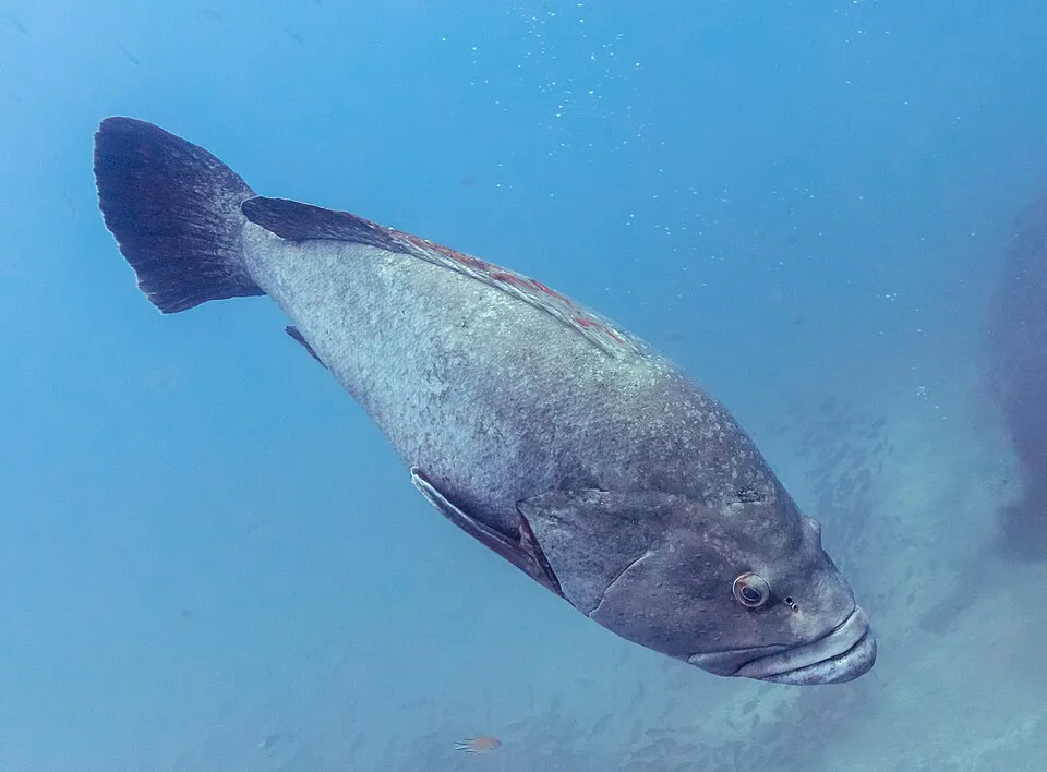
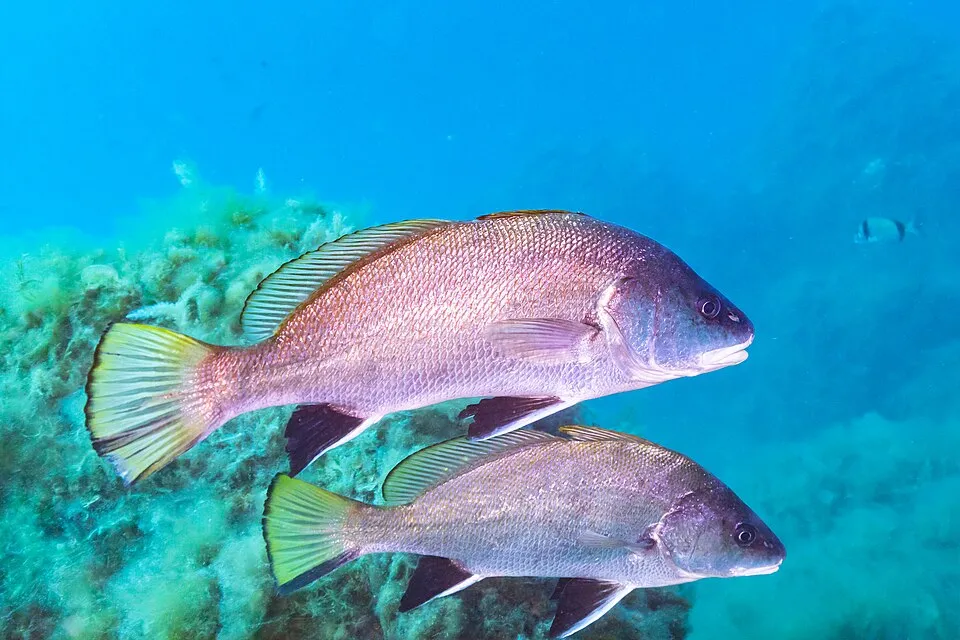
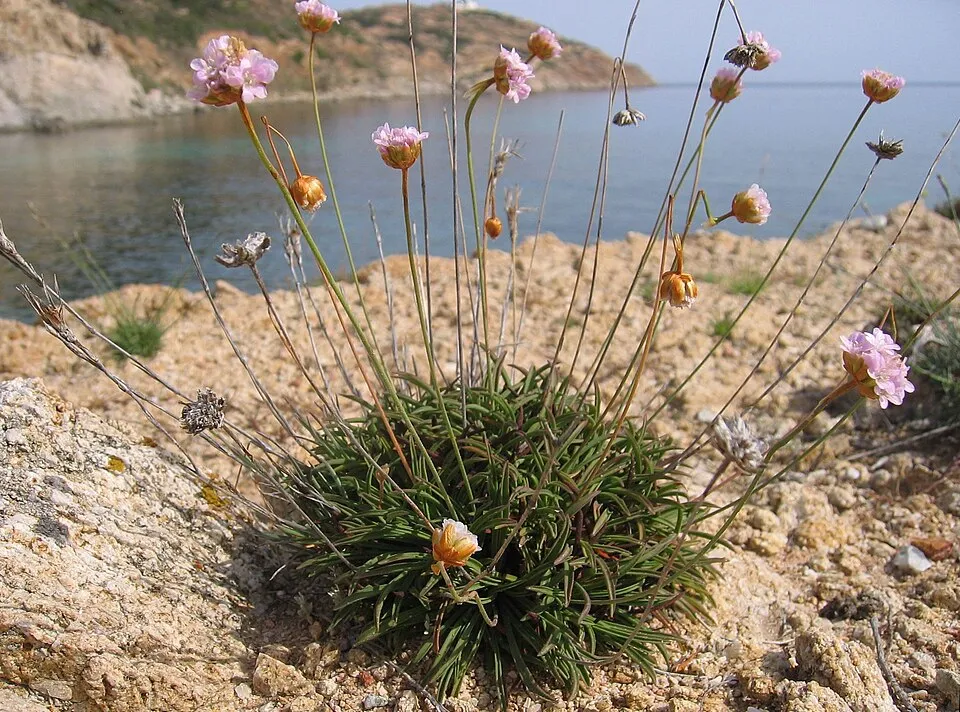
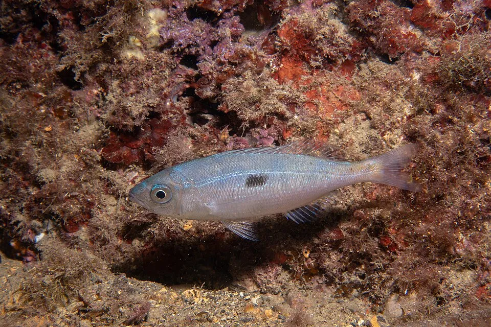
Among the species most often recorded on GBIF are Epinephelus marginatus (Dusky grouper), Sciaena umbra (Brown Meagre), Armeria soleirolii and Spicara maena (Blotched Picarel).
Who manages Scandola Nature Reserve?
Corsica Regional Natural Park.
© OpenStreetMap
Download the boundary: GeoJSON · GPX Boundary © OpenStreetMap contributors (ODbL).
Geography
The representative point of the site lies at around 21 m above sea level. Over the 1996–2025 period, the mean annual temperature is about 17.1 °C and total precipitation reaches roughly 790 mm per year. The warmest month is usually August, the coolest January, and the wettest November. According to the BRGM's simplified lithological map, the bedrock consists mainly of basalts and rhyolites (100% of sampled points). These are mostly igneous rocks.
Area
- Area
- 1,669 ha
- Elevation
- 21 m
- Median elevation
- 143 m
- Mean slope
- 22°
- Coordinates
- 42.3707, 8.5732
Terrain: Mapzen Terrain Tiles (SRTM, USGS)
Bedrock
- Basalts and rhyolites 100 %
Igneous rocks 100 %
Source: BRGM, simplified lithological map at 1:1,000,000 (Licence Ouverte), 12 points sampled within the boundary.
Climate
● Mean temperature (°C) · ▮ Precipitation (mm)
Source: Copernicus ERA5-Land (C3S, doi:10.24381/cds.68d2bb30), monthly averages 1996–2025 interpolated to the representative point, temperatures adjusted for elevation.
Contains modified Copernicus Climate Change Service information 2026. Neither the European Commission nor ECMWF is responsible for any use that may be made of the Copernicus information or data it contains.
Natural habitats
According to CORINE Land Cover (2018), the land area is mainly made up of grassland and meadows (51%), Mediterranean scrub (25%) and sparsely vegetated land (24%). The sea covers about 39% of the site. The seabed reaches about 68 m deep (median depth 58 m; GEBCO bathymetry). Elevation ranges from sea level to 560 m (highest point: Capu Purcile). The terrain is steep: 24% of slopes exceed 30° (mean slope 22°). The 2 Natura 2000 sites overlapping the area list 16 habitats of European interest (2 priority), the most extensive being Posidonia beds (Posidonion oceanicae), Quercus ilex and Quercus rotundifolia forests and Olea and Ceratonia forests.
Biodiversity
Based on occurrences aggregated by GBIF, several species are regularly recorded within the site. Among the most frequent are Epinephelus marginatus (Dusky grouper), Sciaena umbra (Brown Meagre), Armeria soleirolii and Spicara maena (Blotched Picarel). The full list of documented taxa is shown below. The overlapping Natura 2000 sites list 39 species of European interest: 13 birds, 17 mammals, 2 reptiles, 1 amphibian, 5 invertebrates and 1 plant.
Habitats of European interest
From the official forms of the 2 Natura 2000 sites overlapping the area (areas reported for each whole site).
- Posidonia beds (Posidonion oceanicae) priority 2,511 ha
- Quercus ilex and Quercus rotundifolia forests 2,406 ha
- Olea and Ceratonia forests 1,994 ha
- Reefs 1,507 ha
- Siliceous rocky slopes with chasmophytic vegetation 867 ha
- Arborescent matorral with Juniperus spp. 804 ha
- Low formations of Euphorbia close to cliffs 733 ha
- Vegetated sea cliffs of the Mediterranean coasts with endemic Limonium spp. 564 ha
and 8 more
Species of European interest
Birds · 13
Tawny Pipit (Anthus campestris) breeding, Golden Eagle (Aquila chrysaetos) resident, Scopoli's Shearwater (Calonectris diomedea) passage breeding, European Nightjar (Caprimulgus europaeus) breeding, Peregrine Falcon (Falco peregrinus) resident, Red-backed Shrike (Lanius collurio) breeding, Audouin's Gull (Larus audouinii) passage wintering breeding, Woodlark (Lullula arborea) breeding resident, Osprey (Pandion haliaetus) wintering passage breeding, European Shag (Phalacrocorax aristotelis desmarestii) resident, Yelkouan Shearwater (Puffinus yelkouan) passage, Marmora's Warbler (Sylvia sarda) resident and 1 more
Mammals · 17
Barbastelle (Barbastella barbastellus), Serotine bat (Eptesicus serotinus), Savi's Pipistrelle (Hypsugo savii), Common bent-wing bat (Miniopterus schreibersii), Long-fingered bat (Myotis capaccinii), Daubenton's bat (Myotis daubentonii), Geoffroy's bat (Myotis emarginatus), Felten's myotis (Myotis punicus), Lesser noctule (Nyctalus leisleri), Kuhl's pipistrelle (Pipistrellus kuhlii), Common pipistrelle (Pipistrellus pipistrellus), Grey long-eared bat (Plecotus austriacus) and 5 more
Reptiles · 2
European Pond Turtle (Emys orbicularis), European leaf-toed gecko (Euleptes europaea)
Amphibians · 1
Invertebrates · 5
Greater Capricorn Beetle (Cerambyx cerdo), Corsican Swallowtail (Papilio hospiton), Ribbed Mediterranean limpet (Patella ferruginea), Fan Mussel (Pinna nobilis), Mediterranean Slipper Lobster (Scyllarides latus)
Plants · 1
Source: Natura 2000 standard data forms (EEA, CC-BY 4.0). Not exhaustive: sensitive species are not published.
Species to look out for


Observed species
Occurrences documented via GBIF; they are neither an exhaustive inventory nor proof of current presence.
- Dusky grouper · Epinephelus marginatus · 881
- Brown Meagre · Sciaena umbra · 371
- Armeria soleirolii · 148
- Blotched Picarel · Spicara maena · 80
- Bogue · Boops boops · 75
- Saddled seabream · Oblada melanura · 65
- Tree Spurge · Euphorbia dendroides · 59
- Ericaria amentacea · 50
- Damselfish · Chromis chromis · 45
- Osprey · Pandion haliaetus · 39
- Dentex · Dentex dentex · 35
- Cestopagurus timidus · 35
+18 more species
- Lotus cytisoides · 35
- Needle Whelk · Bittium reticulatum · 34
- Silver Ragwort · Jacobaea maritima · 33
- Seseli praecox · 32
- Corsican Stork's-bill · Erodium corsicum · 29
- Eunice vittata · 29
- Pagurus chevreuxi · 28
- Rustic dove shell · Columbella rustica · 28
- Senecio transiens · 27
- Smooth brittle-star · Ophioderma longicaudum · 27
- Mastic Tree · Pistacia lentiscus · 26
- Wild Carrot · Daucus carota · 25
- Bittium latreillii · 25
- European shag · Phalacrocorax aristotelis · 24
- Cock's-foot · Dactylis glomerata · 22
- Raphitoma laviae · 22
- Neptune Grass · Posidonia oceanica · 21
- Allium acutiflorum · 20
Records: GBIF.org (CC-BY). Names: Wikidata (CC0), GBIF. Photos: Wikimedia Commons.
Conservation challenges
The primary purpose of the site is to preserve its natural habitats and the biodiversity they support. The species recorded (Biodiversity tab) reflect its ecological value. The designations it holds frame its management and the control of land use.
According to CORINE Land Cover, land cover here remained almost unchanged between 1990 and 2018 (less than 0.5% of the area affected). At night, the area gives off virtually no artificial light detectable from space (NASA VIIRS Black Marble composite, 2016). According to the Natura 2000 forms, of 15 assessed habitats of European interest, 6 are in excellent condition and 3 in average or reduced condition. According to the Water Framework Directive assessment (2022 river basin management plans, data 2012–2017), water bodies assessed within the site: coastal waters, 2 of 2 in good ecological status or better.
Pressure indicators
Tree cover lost
3 ha
2001–2023 · < 1% of the area
20012023
Fires since 2016
0
No large fire mapped (fires over about 30 ha)
Light at night
0%
of the area gives off artificial light visible from space
DarkLit
Land cover change
< 0.5%
of the area changed, 1990–2018 · CORINE
Rivers and lakes
Coastal waters: 2 of 2 good or better
assessments 2012–2017
Sources: Global Forest Change (Hansen et al., University of Maryland, via Global Forest Watch, CC-BY 4.0); EFFIS, European Commission / Copernicus; NASA Black Marble 2016 (public domain); CORINE Land Cover 2018 (Copernicus) or MODIS.
CORINE Land Cover Change 1990–2018: generated using European Union's Copernicus Land Monitoring Service information (EEA), aggregated by Parkavela; DOI 10.2909/f30f1000-7cf8-43bb-872c-5eb093911b24.
Ecological status of water bodies: European Environment Agency, WISE – Water Framework Directive, 3rd river basin management plans (2022), CC BY 4.0. Official national classification, not comparable between countries.
Practical information
Cities and airport
- Ajaccio
48 km as the crow flies - Airport: Calvi – Sainte-Catherine (CLY)
20 km as the crow flies
Data © OpenStreetMap contributors (ODbL) · Wikidata (CC0)
Access and visiting
The nearest railway station is Calvi Talle, about 21 km from the site boundary. Nearest towns of over 50,000 people, as the crow flies: Ajaccio (48 km). Nearest airport: Calvi – Sainte-Catherine (CLY), about 20 km away. Fewer than 5,000 people live within 20 km of the site boundary, a very sparsely populated area; the site itself is virtually uninhabited (GHSL estimate, 2020). To plan a visit (access, opening periods, visitor rules), it is best to consult the official information from the managing body (Corsica Regional Natural Park) and the official website listed in this page's sources.
Source: OpenStreetMap (ODbL), Wikidata (CC0), October 2026.
When to visit
Best time to visit: from April to June, with average temperatures of 14 to 23 °C and moderate rainfall. Precipitation peaks in November (up to 130 mm per month). Day length ranges from about 9 h 05 min in December to 15 h 16 min in June. Wildlife records published on GBIF peak for birds (July), plants (May) and mammals (April). These peaks also reflect when observers are most active.
Source: Copernicus ERA5-Land (C3S), monthly averages 1996–2025 at the representative point, temperatures adjusted for elevation.
Contains modified Copernicus Climate Change Service information 2026. Neither the European Commission nor ECMWF is responsible for any use that may be made of the Copernicus information or data it contains.
Wildlife records calendar
JFMAMJJASOND
Birds
Plants
Mammals
Monthly records published on GBIF (CC-BY), relative to the busiest month; also reflects observer activity.
Gallery
© Jean-Pol GRANDMONT · CC BY 3.0
© Pinpin · CC BY 2.5
© Jean-Pol GRANDMONT · CC BY 3.0
© Pierre Bona · CC BY-SA 3.0
© Isiwal · CC BY-SA 3.0
© Pinpin · CC BY 2.5
Sources and licences
- Wikidata: Q1426466
- OpenStreetMap: relation 1023779
- Wikipedia: en.wikipedia.org/wiki/Scandola_Nature_Reserve
- WDPA: 7168
References
- cds.climate.copernicus.eu: climate · CC-BY-4.0
- registry.opendata.aws: elevation of the reference point, detailed relief · PD
- land.copernicus.eu: land cover, land cover change, sea share · COPERNICUS
- doi.org: population around the site · CC-BY-4.0
- wikidata.org: official area, establishment date, managing body, nearby cities and airport, access and peaks, lake depths, places to see · CC0-1.0
- eea.europa.eu: bathing water quality, ecological status of waters · CC-BY-4.0
- en.eurovelo.com: EuroVelo cycle routes · ODbL-1.0
- cycling.waymarkedtrails.org: cycle routes · ODbL-1.0
- gebco.net: depths · PD
- opentopodata.org: elevations · PD
- forest-fire.emergency.copernicus.eu: wildfires · COPERNICUS
- globalforestwatch.org: tree cover loss · CC-BY-4.0
- gbif.org: seasonality of sightings, invasive alien species, observed species · CC-BY-4.0
- infoterre.brgm.fr: geology · LO-2.0
- pop.culture.gouv.fr: protected heritage · LO-2.0
- hydrosheds.org: lakes · CC-BY-4.0
- natura2000.eea.europa.eu: Natura 2000 habitats and species · CC-BY-4.0
- openstreetmap.org: official name, access and peaks, places to see · ODbL-1.0
- earthobservatory.nasa.gov: night light · PD
- nsidc.org: snow cover · PD
- wikidata.org: Wikipedia article · CC-BY-SA-4.0
Data © OpenStreetMap contributors (ODbL), Wikidata (CC0) and the sources cited.