France · Marine
Strait of Bonifacio Nature Reserve
Nature reserve of 79,460 hectares in France, established in 1999.
Overview
Nature reserve of 79,460 hectares in France, established in 1999.
Strait of Bonifacio Nature Reserve is located in France (Europe). It is a predominantly marine area. Established on 23 September 1999, it covers about 79,460 hectares. The site is managed by Office de l'environnement de la Corse.
Protections and designations
Natura 2000 · habitats (SAC) · 7 sites
- Bouches de Bonifacio, Iles des Moines FR9402015
- Iles Cerbicale et frange littoral FR9400587
- Iles et pointe Bruzzi, étangs de Chevanu et d'Arbitru FR9400609
- Plateau de Pertusato/ Bonifacio et îles Lavezzi FR9400591
- Roccapina-Ortolo FR9400593
- Tre Padule de Suartone, Rondinara FR9400590
- and 1 more
Natura 2000 · birds (SPA) · 2 sites
- Iles Cerbicale FR9410022
- Iles Lavezzi, Bouches de Bonifacio FR9410021
Protected as a nature reserve. International labels and designations: Natura 2000 network (9 sites). Key dates: established in 1999, first Natura 2000 site under the Birds Directive in 2004 and first Natura 2000 site under the Habitats Directive in 2006.
In our collections
Timeline
-
1999
Established
-
2004
First Natura 2000 site under the Birds Directive 2 such sites designated up to 2005
-
2006
First Natura 2000 site under the Habitats Directive 7 such sites designated up to 2011
Sources: Wikidata (CC0) for establishment and international labels; EEA Natura 2000 database (CC-BY 4.0) for site designation dates.
Frequently asked questions
Where is Strait of Bonifacio Nature Reserve?
In France (Europe). Representative point: 41.4449° N, 9.1351° E.
How large is Strait of Bonifacio Nature Reserve?
About 79,460 hectares (795 km²). It is the 3rd largest of the 121 nature reserves in France covered by Parkavela.
When was Strait of Bonifacio Nature Reserve established?
On 23 September 1999.
What habitats and landscapes does Strait of Bonifacio Nature Reserve include?
A marine area.
Which international labels apply to Strait of Bonifacio Nature Reserve?
Natura 2000 network (9 sites).
When is the best time to visit Strait of Bonifacio Nature Reserve?
Best time to visit: from April to October, with average temperatures of 14 to 26 °C and moderate rainfall.
What is there to see in Strait of Bonifacio Nature Reserve?
6 viewpoints, 3 lakes and ponds and 2 caves, including La Grotte du Sdragonato, Grotte de Saint-Antoine, Étang de Pisciu Cane and La Sdragonato (OpenStreetMap).
Are there historic monuments in Strait of Bonifacio Nature Reserve?
Yes. According to the French Ministry of Culture's Mérimée database, 5 historic monuments stand within the boundary, 2 of them with the highest level of protection (classé). For example: “Ancien couvent Saint-François” in Bonifacio and “Cimetières militaires et stèle commémorative” in Bonifacio.
Can you swim in Strait of Bonifacio Nature Reserve?
17 monitored bathing sites lie in or within 1 km of the site; official 2025 classification: 17 excellent (European Environment Agency). Swimming is only permitted at the sites and times authorised locally.
What is the nearest large city to Strait of Bonifacio Nature Reserve?
Nearest towns of over 50,000 people, as the crow flies: Olbia (46 km) and Ajaccio (51 km). Nearest airport: Figari Sud-Corse (FSC), about 5 km away.
How can I reach Strait of Bonifacio Nature Reserve by train?
The nearest railway station is Palau, about 15 km from the site boundary.
Where can I get visitor information on site?
Bastion de l'Étandard.
Which species can be seen in Strait of Bonifacio Nature Reserve?
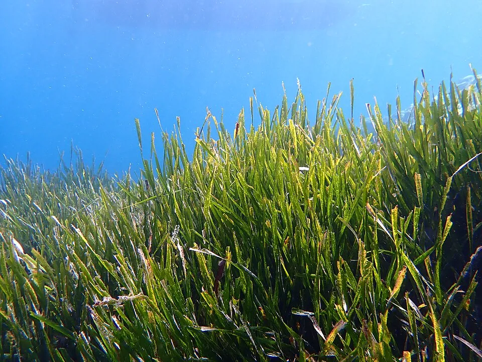
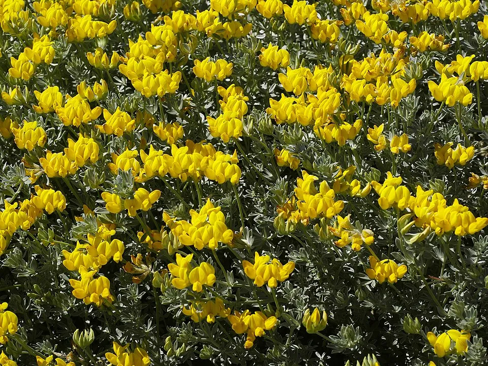
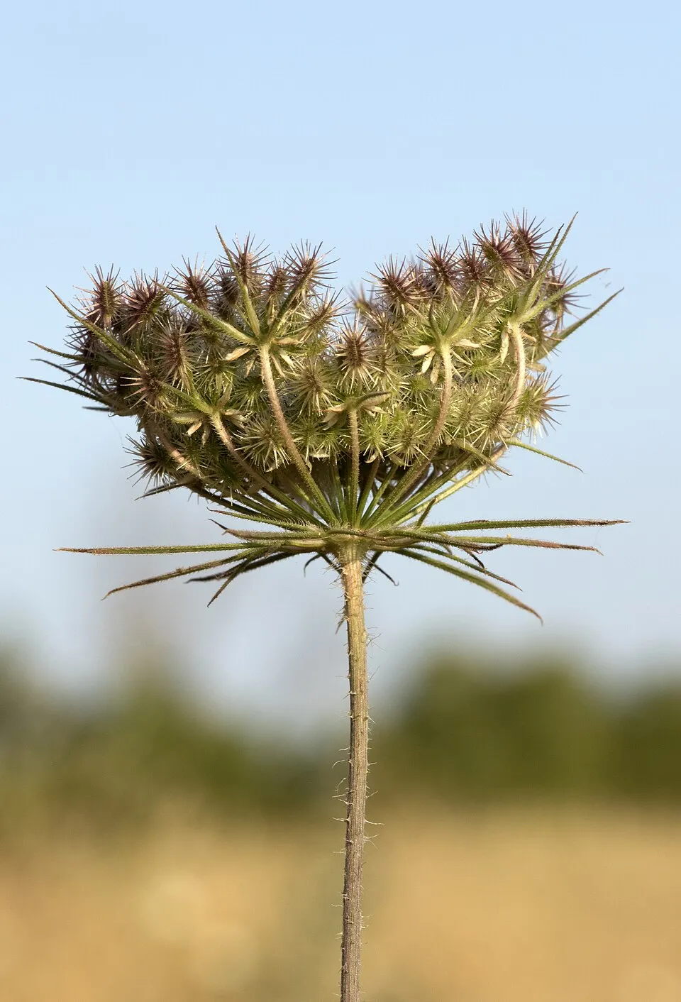
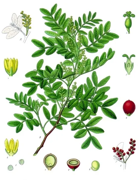
Among the species most often recorded on GBIF are Posidonia oceanica (Neptune Grass), Lotus cytisoides, Daucus carota (Wild Carrot) and Pistacia lentiscus (Mastic Tree).
Who manages Strait of Bonifacio Nature Reserve?
Office de l'environnement de la Corse.
What is the official website of Strait of Bonifacio Nature Reserve?
© OpenStreetMap
Download the boundary: GeoJSON · GPX Boundary © OpenStreetMap contributors (ODbL).
Geography
The representative point of the site lies at around 28 m above sea level. Over the 1996–2025 period, the mean annual temperature is about 17.4 °C and total precipitation reaches roughly 624 mm per year. The warmest month is usually August, the coolest February, and the wettest November.
Area
- Area
- 79,460 ha
- Elevation
- 28 m
- Coordinates
- 41.4449, 9.1351
Climate
● Mean temperature (°C) · ▮ Precipitation (mm)
Source: Copernicus ERA5-Land (C3S, doi:10.24381/cds.68d2bb30), monthly averages 1996–2025 interpolated to the representative point, temperatures adjusted for elevation.
Contains modified Copernicus Climate Change Service information 2026. Neither the European Commission nor ECMWF is responsible for any use that may be made of the Copernicus information or data it contains.
Natural habitats
The site is almost entirely marine. The seabed reaches about 129 m deep (median depth 70 m; GEBCO bathymetry). The 9 Natura 2000 sites overlapping the area list 38 habitats of European interest (6 priority), the most extensive being Posidonia beds (Posidonion oceanicae), reefs and arborescent matorral with Juniperus spp.
Biodiversity
Based on occurrences aggregated by GBIF, several species are regularly recorded within the site. Among the most frequent are Posidonia oceanica (Neptune Grass), Lotus cytisoides, Daucus carota (Wild Carrot) and Pistacia lentiscus (Mastic Tree). The full list of documented taxa is shown below. The overlapping Natura 2000 sites list 52 species of European interest: 12 birds, 16 mammals, 8 reptiles, 2 amphibians, 1 fish, 5 invertebrates and 8 plants.
Habitats of European interest
From the official forms of the 9 Natura 2000 sites overlapping the area (areas reported for each whole site).
- Posidonia beds (Posidonion oceanicae) priority 11,102 ha
- Reefs 3,155 ha
- Arborescent matorral with Juniperus spp. 1,131 ha
- Sandbanks which are slightly covered by sea water all the time 1,007 ha
- Siliceous rocky slopes with chasmophytic vegetation 750 ha
- Quercus suber forests 321 ha
- Olea and Ceratonia forests 207 ha
- Quercus ilex and Quercus rotundifolia forests 164 ha
and 30 more
Species of European interest
Birds · 12
Scopoli's Shearwater (Calonectris diomedea) wintering breeding, Western Marsh Harrier (Circus aeruginosus) passage, Little Egret (Egretta garzetta) passage breeding, Peregrine Falcon (Falco peregrinus) resident, European Storm Petrel (Hydrobates pelagicus) breeding, Audouin's Gull (Larus audouinii) passage breeding wintering, Osprey (Pandion haliaetus) passage, European Shag (Phalacrocorax aristotelis desmarestii) resident, Yelkouan Shearwater (Puffinus yelkouan) passage, Common Tern (Sterna hirundo) breeding, Marmora's Warbler (Sylvia sarda) resident, Dartford Warbler (Sylvia undata) resident
Mammals · 16
Barbastelle (Barbastella barbastellus), Serotine bat (Eptesicus serotinus), Savi's Pipistrelle (Hypsugo savii), Common bent-wing bat (Miniopterus schreibersii), Long-fingered bat (Myotis capaccinii), Daubenton's bat (Myotis daubentonii), Geoffroy's bat (Myotis emarginatus), Felten's myotis (Myotis punicus), Lesser noctule (Nyctalus leisleri), Kuhl's pipistrelle (Pipistrellus kuhlii), Common pipistrelle (Pipistrellus pipistrellus), Grey long-eared bat (Plecotus austriacus) and 4 more
Reptiles · 8
Fitzinger's Algyroides (Algyroides fitzingeri), Loggerhead sea turtle (Caretta caretta), European Pond Turtle (Emys orbicularis), European leaf-toed gecko (Euleptes europaea), Western Whip Snake (Hierophis viridiflavus), Natrix natrix corsa, Tyrrhenian Wall Lizard (Podarcis tiliguerta), Hermann's tortoise (Testudo hermanni)
Invertebrates · 5
Greater Capricorn Beetle (Cerambyx cerdo), Corsican Swallowtail (Papilio hospiton), Ribbed Mediterranean limpet (Patella ferruginea), Fan Mussel (Pinna nobilis), Mediterranean Slipper Lobster (Scyllarides latus)
Plants · 8
Centranthe a trois nervures (Centranthus trinervis), Colchicum corsicum, Colchicum corsicum baker, Statice ‡ rameaux raides (Limonium strictissimum), Linaria flava, Rouya polygama, Silene velutina, Summer lady's-tresses (Spiranthes aestivalis)
Source: Natura 2000 standard data forms (EEA, CC-BY 4.0). Not exhaustive: sensitive species are not published.
Species to look out for
Plant
Mastic Tree
Pistacia lentiscus280 records © Franz Eugen Köhler, Köhler's Medizinal-Pflanzen · Public domain
Observed species
Occurrences documented via GBIF; they are neither an exhaustive inventory nor proof of current presence.
- Neptune Grass · Posidonia oceanica · 735
- Lotus cytisoides · 318
- Wild Carrot · Daucus carota · 299
- Mastic Tree · Pistacia lentiscus · 280
- Silene velutina · 278
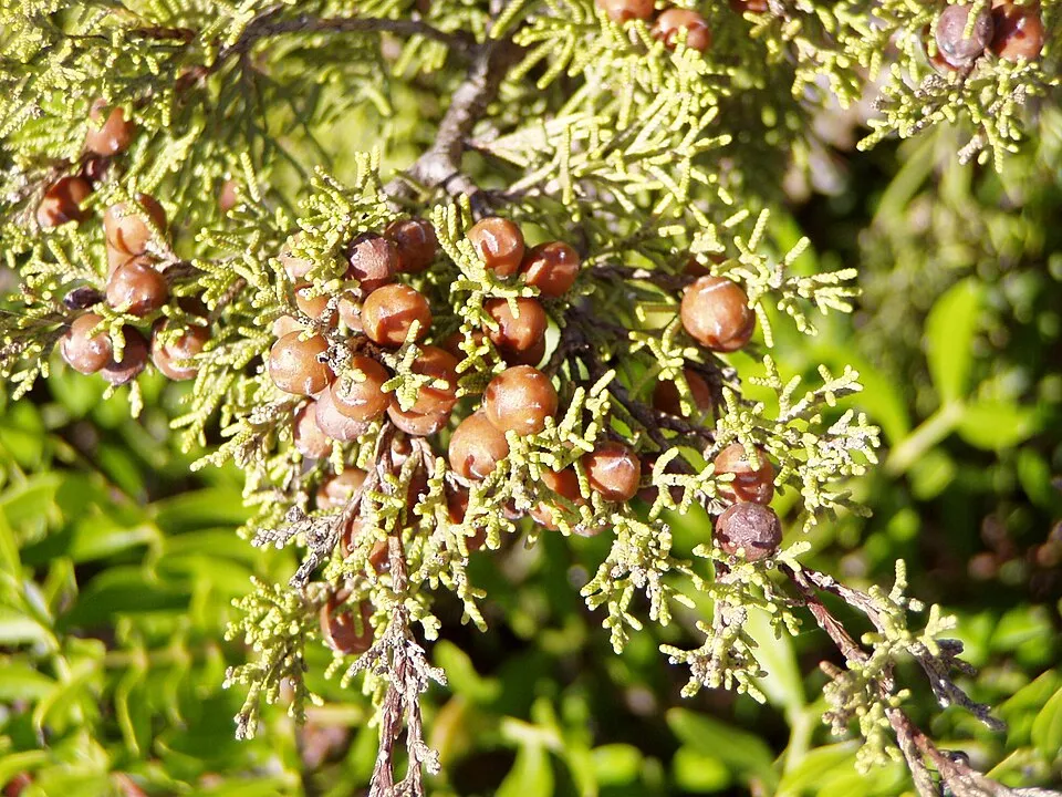
- Phoenician juniper · Juniperus phoenicea · 243
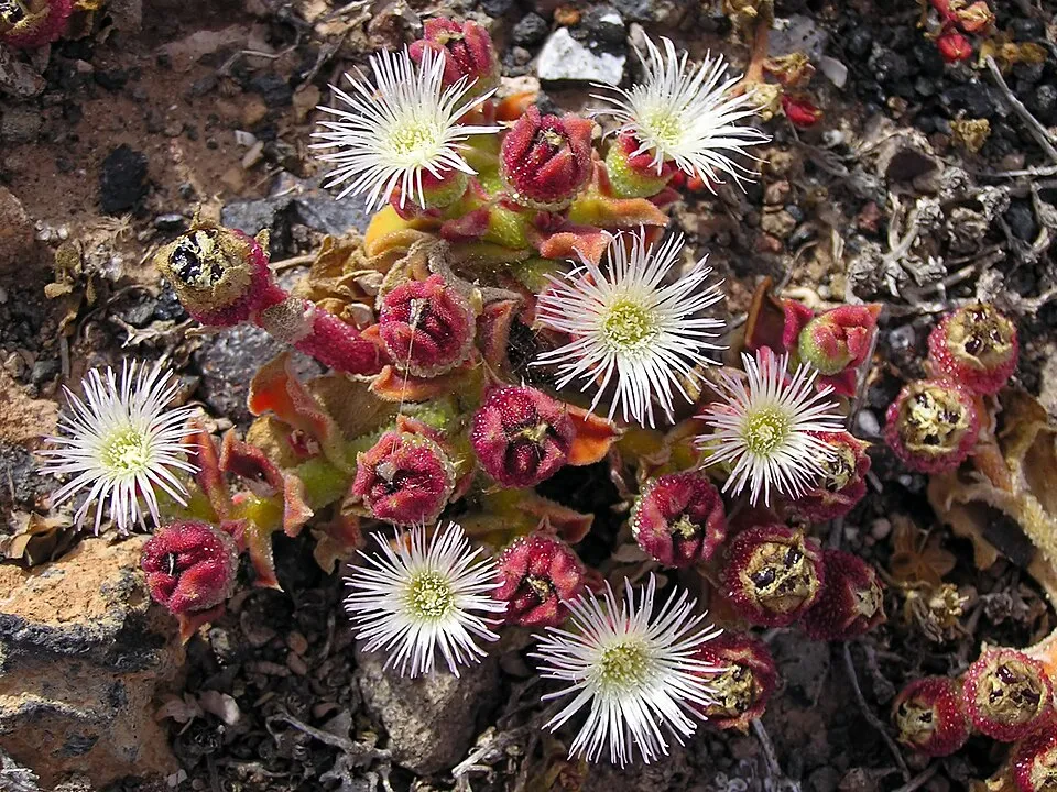
- Common iceplant · Mesembryanthemum crystallinum · 240
- Silver Ragwort · Jacobaea maritima · 219
- Common bottlenose dolphin · Tursiops truncatus · 213
- Rock samphire · Crithmum maritimum · 200
- Thalassionema nitzschioides · 188
- Narrow-leaved mock privet · Phillyrea angustifolia · 184
+18 more species
- Common smilax · Smilax aspera · 178
- Common myrtle · Myrtus communis · 177
- Cock's-foot · Dactylis glomerata · 175
- Senecio transiens · 155
- European shag · Phalacrocorax aristotelis · 154
- Curryplant · Helichrysum italicum · 154
- Matthiola tricuspidata · 148
- Sea Garlic · Allium commutatum · 138
- Wild Asparagus · Asparagus acutifolius · 135
- Scopoli's Shearwater · Calonectris diomedea · 133
- Mediterranean rainbow wrasse · Coris julis · 131
- Nitzschia longissima · 131
- Fat-hen · Atriplex prostrata · 129
- Sea-fern grass · Catapodium marinum · 128
- Yellow-legged Gull · Larus michahellis · 127
- Spergularia macrorrhiza · 125
- Sea-heath · Frankenia laevis · 124
- Friar's cowl · Arisarum vulgare · 123
Records: GBIF.org (CC-BY). Names: Wikidata (CC0), GBIF. Photos: Wikimedia Commons.
Conservation challenges
The primary purpose of the site is to preserve its natural habitats and the biodiversity they support. The species recorded (Biodiversity tab) reflect its ecological value. The designations it holds frame its management and the control of land use.
According to the European CORINE Land Cover inventory (Copernicus), land cover changed on about 39 ha of the site between 1990 and 2018 (7% of its area): built-up land grew by 39 ha, mostly at the expense of farmland, while farmland shrank by 39 ha, mostly giving way to built-up land. According to the Natura 2000 forms, of 37 assessed habitats of European interest, 17 are in excellent condition and 2 in average or reduced condition. According to the Water Framework Directive assessment (2022 river basin management plans, data 2012–2017), water bodies assessed within the site: coastal waters, 3 of 4 in good ecological status or better. Since 2000, 16 invasive alien species have been recorded within the site (GBIF observations), one of them listed as of Union concern under EU Regulation 1143/2014. Among them: Acacia saligna (Orange wattle), Carpobrotus edulis (Hottentot-fig) and Cotula coronopifolia (Buttonweed).
Pressure indicators
Built-up land
< 1%
buildings, business areas, roads, quarries
Land cover change
39 ha
changed cover, 1990–2018 · CORINE · 7% of the area
- +39 ha · built-up land
- −39 ha · farmland
Rivers and lakes
Coastal waters: 3 of 4 good or better
assessments 2012–2017
Invasive alien species
16
incl. 1 of EU concern · since 2000
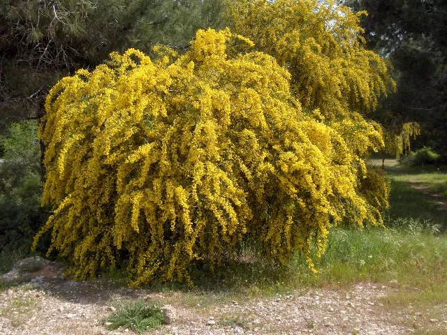 Orange wattleEU
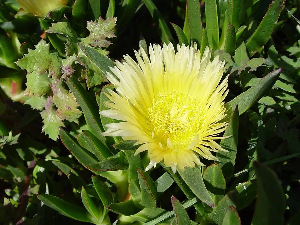 Hottentot-fig
 Caulerpa cylindracea
 Buttonweed
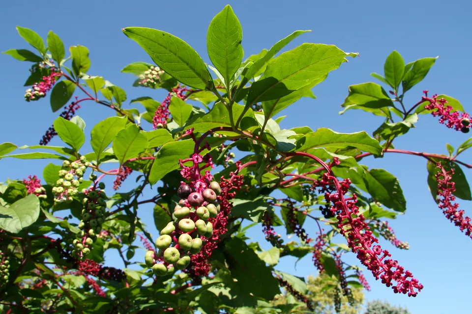 American pokeweed
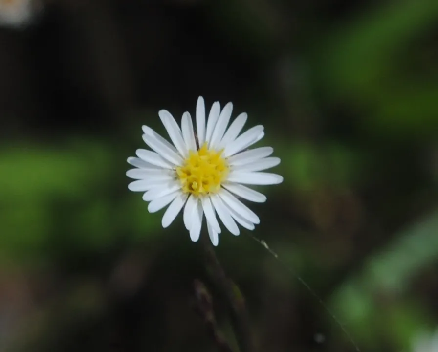 Southeastern annual saltmarsh aster
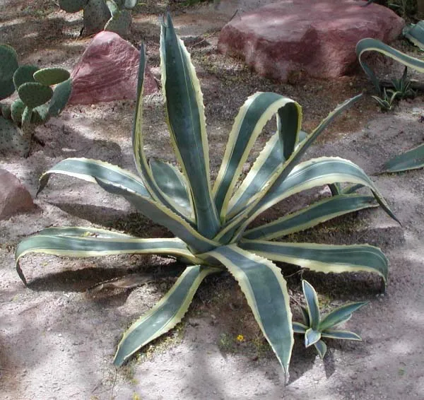 American century plant
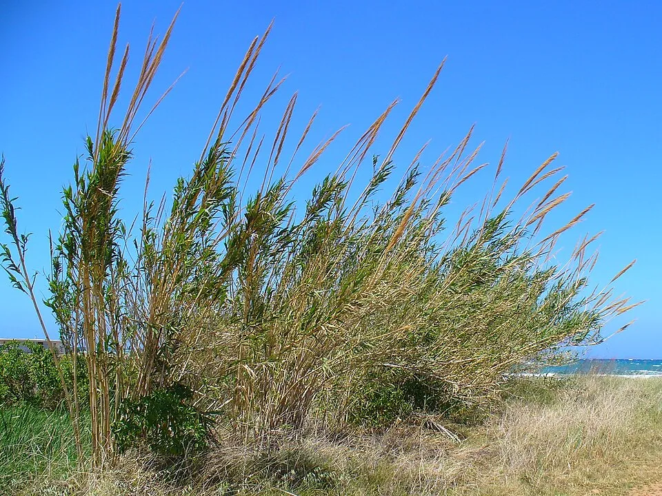 Giant Reed
Photos: Orange wattle © JoJan · CC BY-SA 3.0; Hottentot-fig © Taken by Carsten Niehaus (user:Lumbar). · CC BY-SA 3.0; Caulerpa cylindracea © William Henry Harvey (1811–1866) · Public domain; Buttonweed © Johann Georg Sturm (Painter: Jacob Sturm) · Public domain; American pokeweed © Huw Williams (Huwmanbeing) · Public domain; Southeastern annual saltmarsh aster © Andrés González · CC BY-SA 3.0; American century plant © Stan Shebs · CC BY-SA 3.0; Giant Reed © H. Zell · CC BY-SA 3.0
Sources: Global Forest Change (Hansen et al., University of Maryland, via Global Forest Watch, CC-BY 4.0); EFFIS, European Commission / Copernicus; NASA Black Marble 2016 (public domain); CORINE Land Cover 2018 (Copernicus) or MODIS.
CORINE Land Cover Change 1990–2018: generated using European Union's Copernicus Land Monitoring Service information (EEA), aggregated by Parkavela; DOI 10.2909/f30f1000-7cf8-43bb-872c-5eb093911b24.
Ecological status of water bodies: European Environment Agency, WISE – Water Framework Directive, 3rd river basin management plans (2022), CC BY 4.0. Official national classification, not comparable between countries.
Invasive alien species: Global Register of Introduced and Invasive Species (ISSG, CC BY 4.0); Union list, Regulation (EU) 1143/2014 (INBO, CC0); GBIF.org records (CC0 / CC BY 4.0), at least 2 per species.
Practical information
Cities and airport
- Olbia
46 km as the crow flies - Ajaccio
51 km as the crow flies - Airport: Figari Sud-Corse (FSC)
5 km as the crow flies
Visitor information
- Bastion de l'Étandard
< 1 km from the site boundary
Things to see
6 viewpoints · 3 lakes and ponds · 2 caves
- La Grotte du Sdragonato
lake or pond - Grotte de Saint-Antoine
cave - Étang de Pisciu Cane
lake or pond - La Sdragonato
cave - Étang de Prisarella
lake or pond
Data © OpenStreetMap contributors (ODbL) · Wikidata (CC0)
Waymarked hiking routes
Tracks © OpenStreetMap contributors (ODbL), clipped to the boundary; elevation gain and profiles computed on the longest section from Mapzen Terrain Tiles (≈ 30 m), indicative only.
Bathing
17 monitored bathing sites in or within 1 km of the site · 2025 classification
Excellent · 17
- Cala di Ciapili · sea · Excellent
- Folaca · sea · Excellent
- Palombaggia · sea · Excellent
- Piantarella · sea · Excellent
- Plage Canicciola · sea · Excellent
- Plage de Balistra · sea · Excellent
- Plage de Caniscione · sea · Excellent
- Plage de Chevanu · sea · Excellent
- Plage de la Tour · sea · Excellent
- Plage de St-Jean · sea · Excellent
and 7 more
Source: European Environment Agency, official bathing water classification (Directive 2006/7/EC, CC-BY 4.0). Swimming is only permitted at the sites and times authorised locally.
Access and visiting
The nearest railway station is Palau, about 15 km from the site boundary. Nearest towns of over 50,000 people, as the crow flies: Olbia (46 km) and Ajaccio (51 km). Nearest airport: Figari Sud-Corse (FSC), about 5 km away. About 49,000 people live within 20 km of the site boundary, 26,000 of them within 10 km (GHSL estimate, 2020). This population has grown by about 13% since 2000. Visitor information on site: Bastion de l'Étandard. To see: 6 viewpoints, 3 lakes and ponds and 2 caves, including La Grotte du Sdragonato, Grotte de Saint-Antoine, Étang de Pisciu Cane and La Sdragonato. To plan a visit (access, opening periods, visitor rules), it is best to consult the official information from the managing body (Office de l'environnement de la Corse) and the official website listed in this page's sources.
Source: OpenStreetMap (ODbL), Wikidata (CC0), October 2026.
Built heritage
According to the French Ministry of Culture's Mérimée database, 5 historic monuments stand within the boundary, 2 of them with the highest level of protection (classé). Among them are 2 religious buildings, 2 prehistoric and archaeological sites and 1 castle or fortification. Notable classé monuments include “Ancien couvent Saint-François” in Bonifacio and “Cimetières militaires et stèle commémorative” in Bonifacio.
2 religious buildings2 prehistoric and archaeological sites1 castle or fortification
-
Ancien couvent Saint-François
Classé
Bonifacio · 13th c., 14th c., 17th c. -
Cimetières militaires et stèle commémorative
Classé
Bonifacio · 19th c. -
Site de Saint-Jean
Pianottoli-Caldarello -
Tour de Figari ou de Caldarello
Pianotolli-Caldarello · 16th c. -
Carrière romaine
Bonifacio · Antiquity
Source: Mérimée database, French Ministry of Culture (Licence Ouverte 2.0). Each record links to the Plateforme ouverte du patrimoine (POP).
When to visit
Best time to visit: from April to October, with average temperatures of 14 to 26 °C and moderate rainfall. Precipitation peaks in November (up to 110 mm per month). Day length ranges from about 9 h 11 min in December to 15 h 09 min in June. Wildlife records published on GBIF peak for birds (April and May), plants (April and May), butterflies and moths (May), dragonflies (June) and mammals (May). These peaks also reflect when observers are most active.
Source: Copernicus ERA5-Land (C3S), monthly averages 1996–2025 at the representative point, temperatures adjusted for elevation.
Contains modified Copernicus Climate Change Service information 2026. Neither the European Commission nor ECMWF is responsible for any use that may be made of the Copernicus information or data it contains.
Wildlife records calendar
JFMAMJJASOND
Birds
Plants
Butterflies & moths
Dragonflies
Mammals
Monthly records published on GBIF (CC-BY), relative to the busiest month; also reflects observer activity.
Gallery
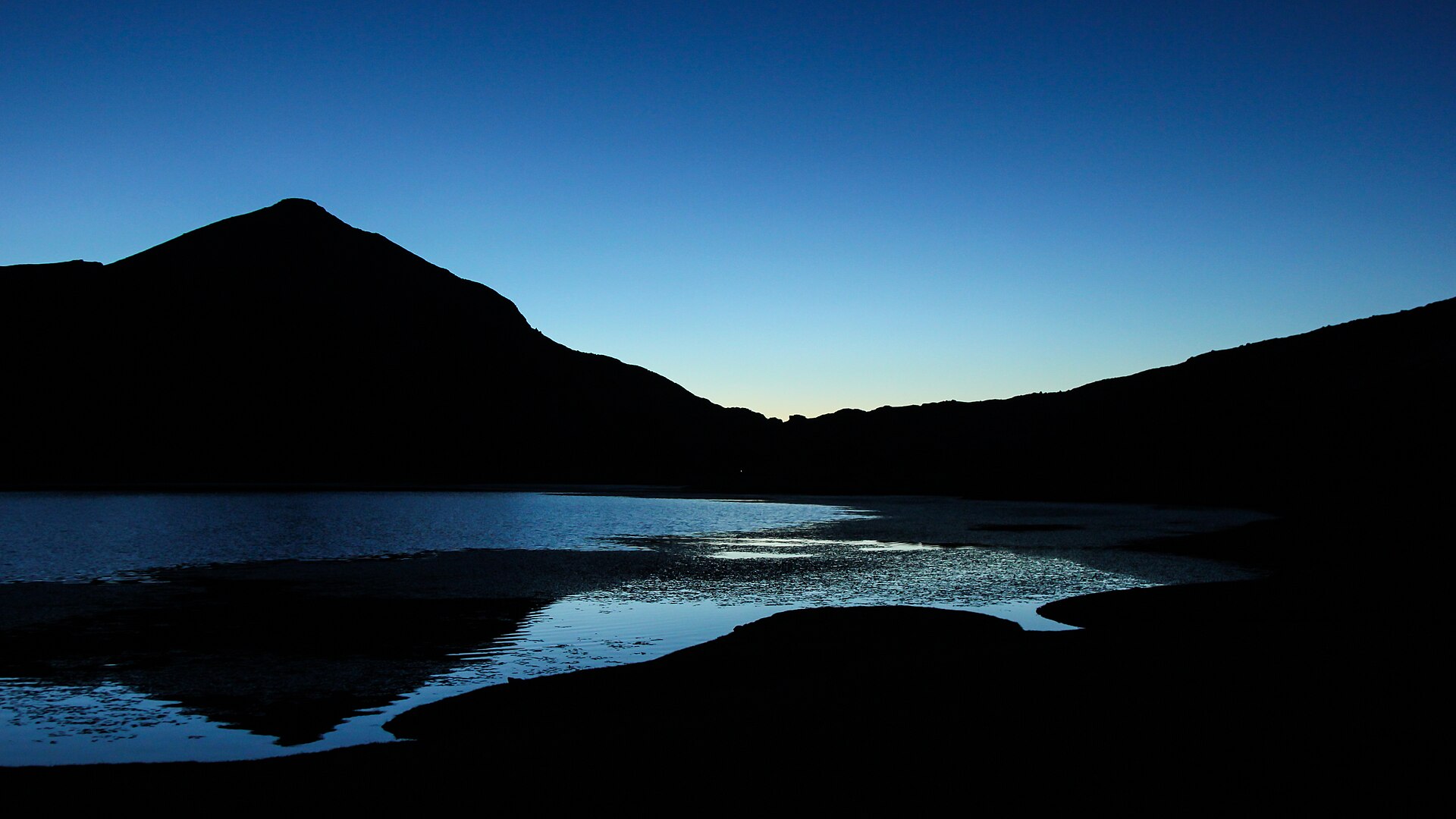
© Gianni Careddu · CC BY-SA 3.0
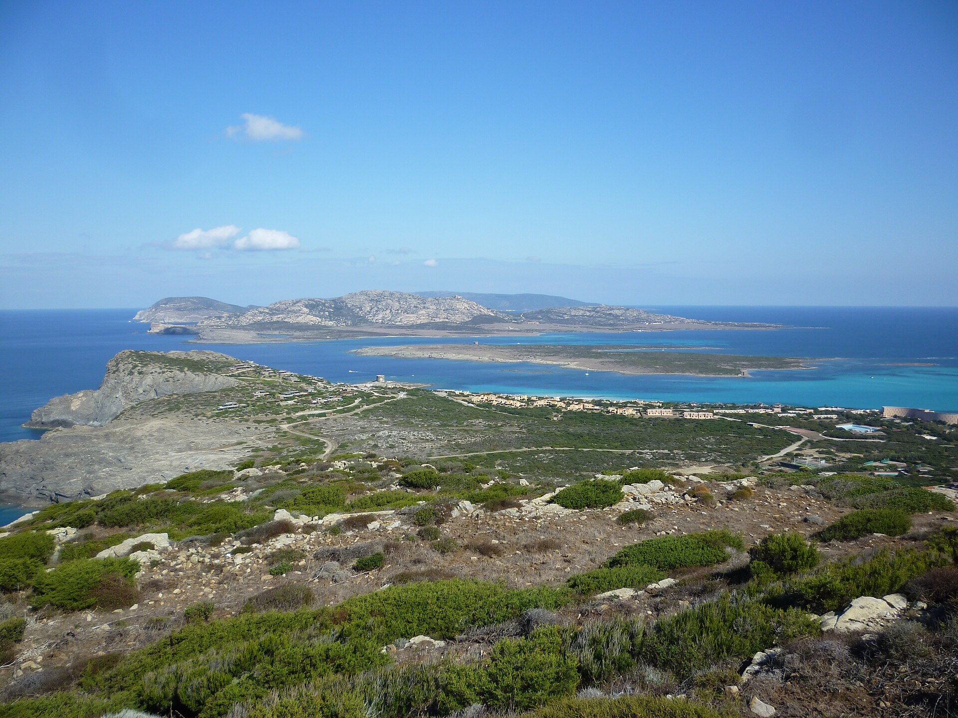
© LPLT · CC BY-SA 3.0
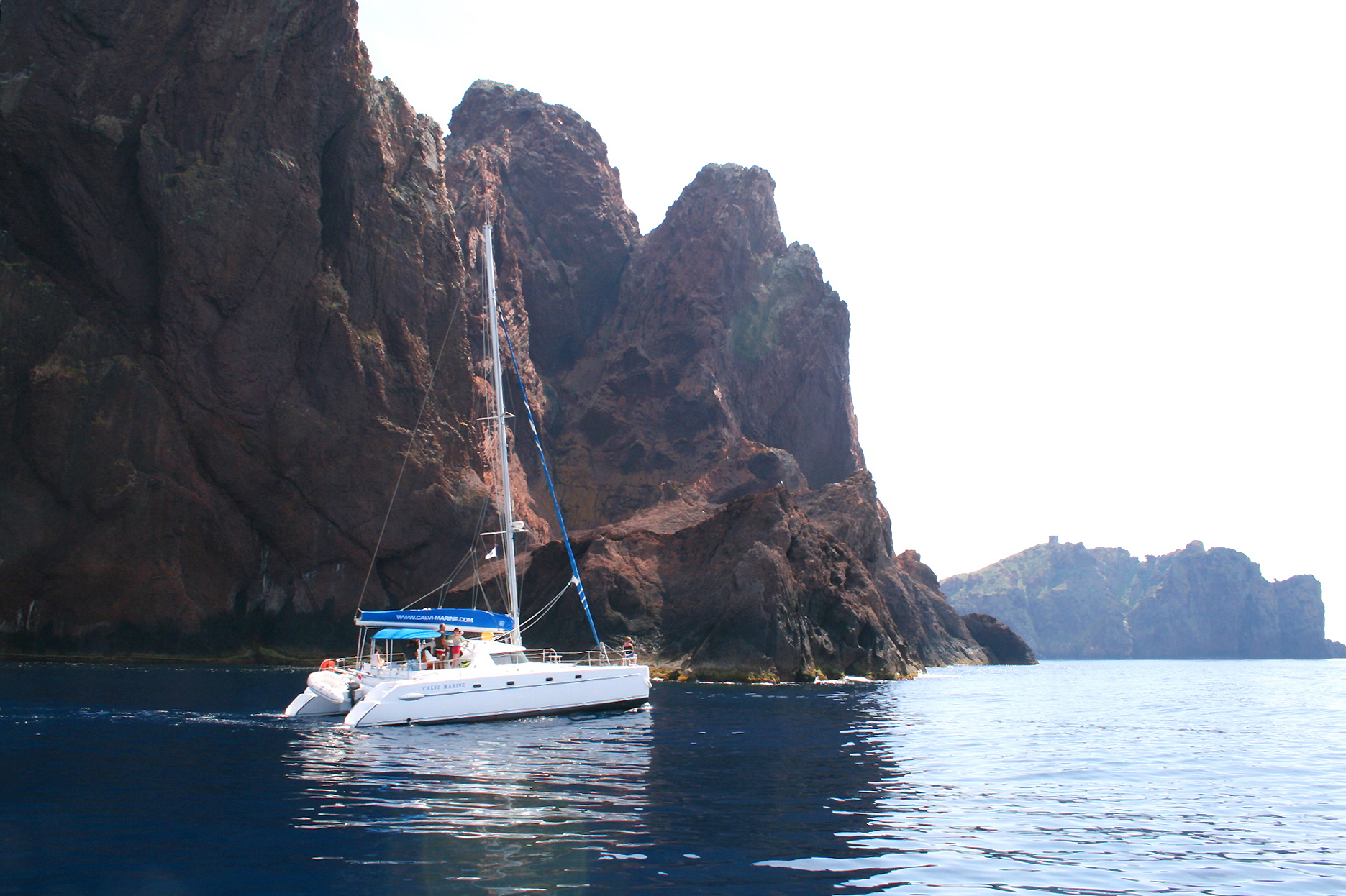
© Aymeric Chanut-Lourme · CC BY-SA 4.0
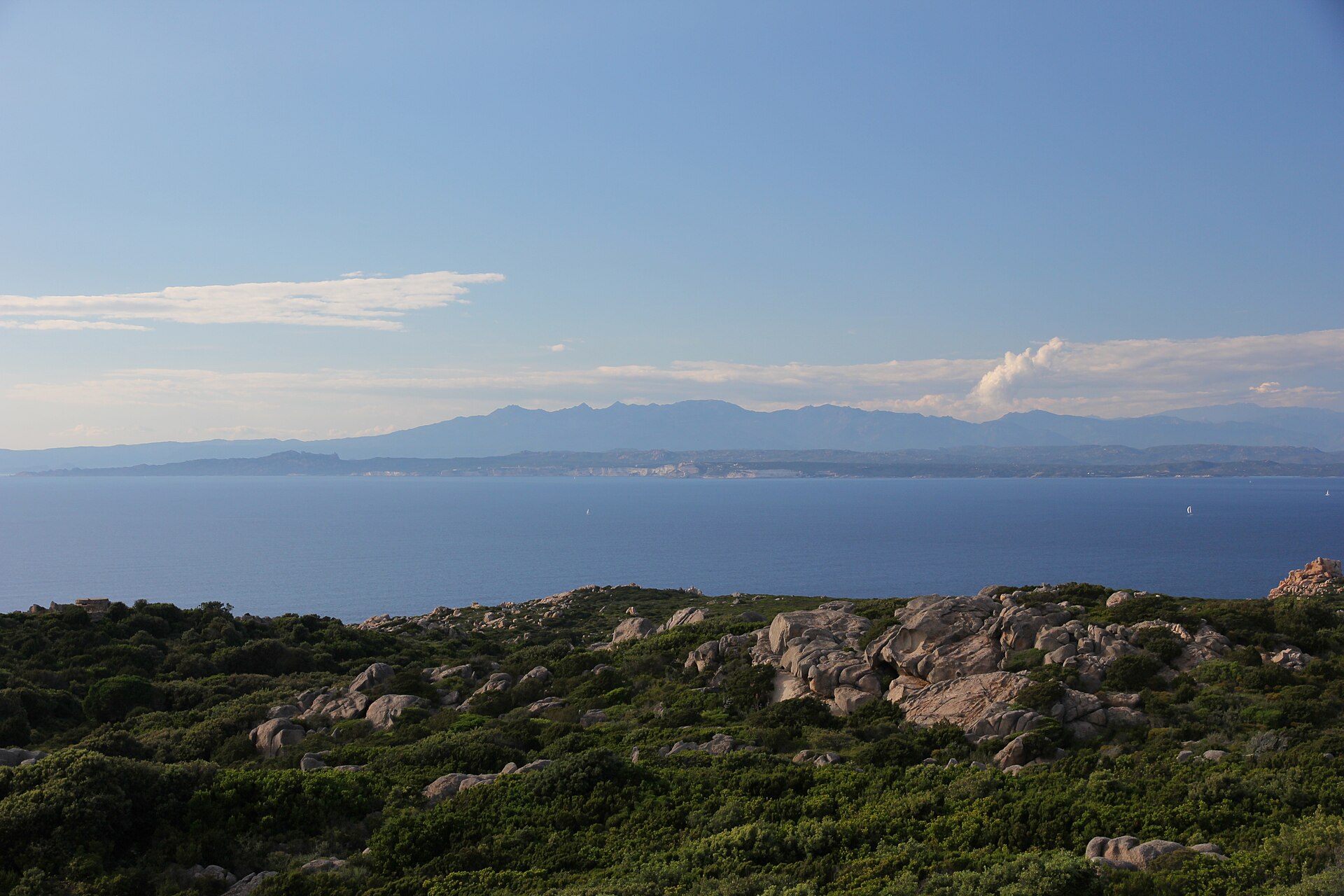
© Bar-Christian · CC BY-SA 3.0
© Lucie Gd · CC BY-SA 4.0
© LPLT · CC BY-SA 3.0
Sources and licences
- Wikidata: Q3457411
- OpenStreetMap: relation 1023772
- Official website: http://www.rnbb.fr/
- Wikipedia: fr.wikipedia.org/wiki/Réserve_naturelle_des_Bouches_de_Bonifacio
- WDPA: 178271
References
- cds.climate.copernicus.eu: climate · CC-BY-4.0
- registry.opendata.aws: elevation of the reference point · PD
- land.copernicus.eu: land cover, land cover change, sea share · COPERNICUS
- doi.org: population around the site · CC-BY-4.0
- wikidata.org: official area, establishment date, managing body, nearby cities and airport, access and peaks, places to see, official website · CC0-1.0
- eea.europa.eu: bathing water quality, ecological status of waters · CC-BY-4.0
- gebco.net: depths · PD
- opentopodata.org: elevations · PD
- gbif.org: seasonality of sightings, invasive alien species, observed species · CC-BY-4.0
- pop.culture.gouv.fr: protected heritage · LO-2.0
- natura2000.eea.europa.eu: Natura 2000 habitats and species · CC-BY-4.0
- openstreetmap.org: official name, access and peaks, places to see · ODbL-1.0
- hiking.waymarkedtrails.org: route difficulty · ODbL-1.0
- wikidata.org: Wikipedia article · CC-BY-SA-4.0
Data © OpenStreetMap contributors (ODbL), Wikidata (CC0) and the sources cited.