Italy · Terrestrial
Asinara National Park
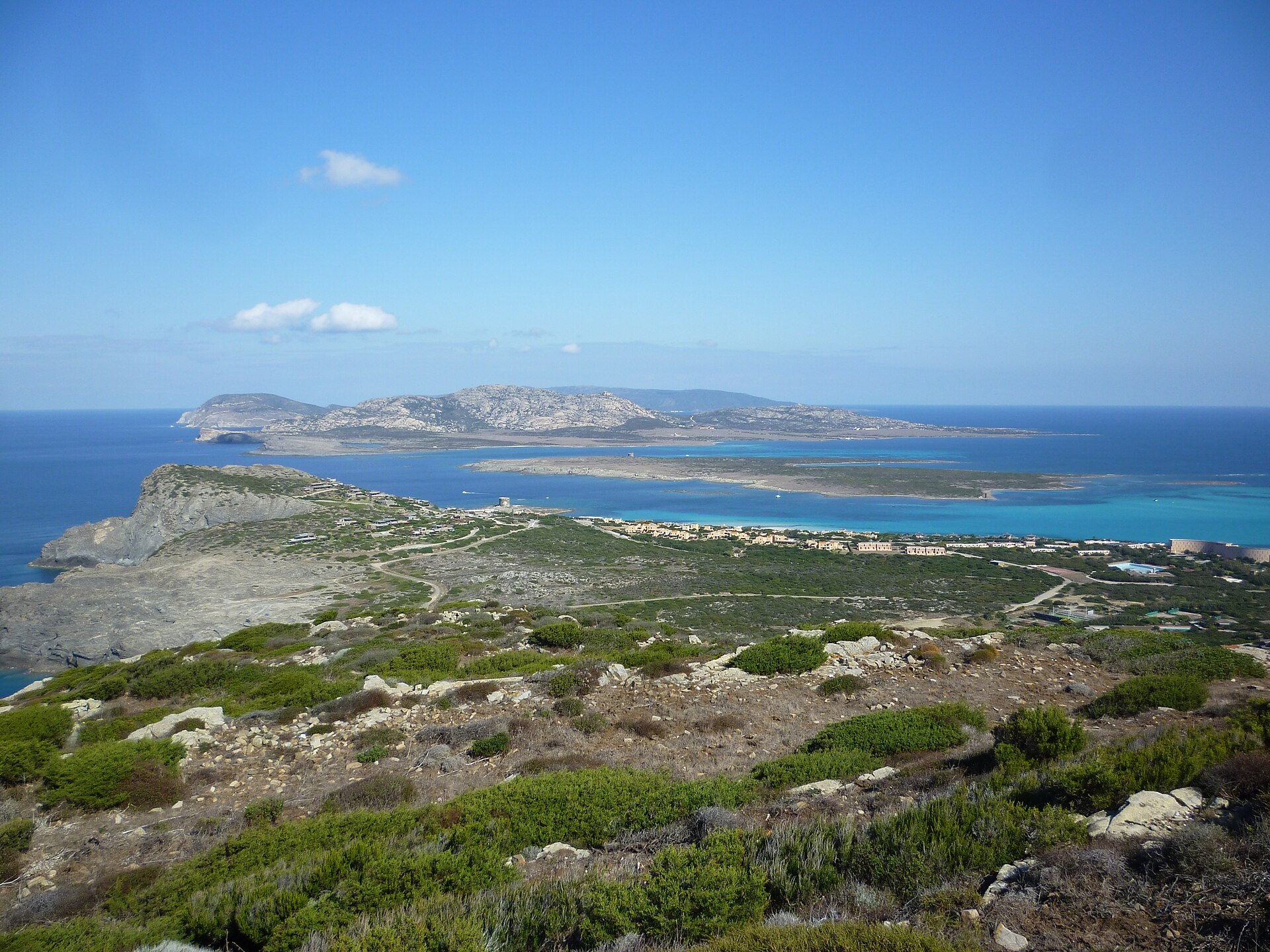
National park of 5,170 hectares in Italy, established in 1997.
Overview
National park of 5,170 hectares in Italy, established in 1997.
Asinara National Park is located in Italy (Europe). It is a predominantly terrestrial area. Established in 1997, it covers about 5,170 hectares.
Protections and designations
Natura 2000 · habitats (SAC)
- Isola dell'Asinara ITB010082
Natura 2000 · birds (SPA)
- Isola Asinara ITB010001
Protected as a national park. International labels and designations: Natura 2000 network (2 sites). Key dates: established in 1997 and first Natura 2000 site under the Birds Directive in 2009.
In our collections
Timeline
-
1997
Established
-
2009
First Natura 2000 site under the Birds Directive
Sources: Wikidata (CC0) for establishment and international labels; EEA Natura 2000 database (CC-BY 4.0) for site designation dates.
Frequently asked questions
Where is Asinara National Park?
In Italy (Europe). Representative point: 41.0580° N, 8.2760° E.
How large is Asinara National Park?
About 5,170 hectares (52 km²). It is the 25th largest of the 26 national parks in Italy covered by Parkavela. About 700 ha are at sea.
When was Asinara National Park established?
In 1997.
What habitats and landscapes does Asinara National Park include?
A terrestrial area, with coasts.
What rocks lie beneath Asinara National Park?
According to the European 1:1 million geological map (EGDI), the bedrock consists mainly of mica schists (63% of sampled points), granites (25%) and metamorphic rocks (13%). These are mostly metamorphic rocks. The geological units date mainly from the Ordovician (75% of sampled points).
What is the highest point of Asinara National Park?
Punta della scomunica, at 406 m (OpenStreetMap).
What are the main summits of Asinara National Park?
Punta della scomunica (406 m), Punta Maestra Serre (391 m), Piano Mannu (318 m), Punta Ruja (300 m) and Punta Maestra Fornelli (265 m) (OpenStreetMap).
Which international labels apply to Asinara National Park?
Natura 2000 network (2 sites).
When is the best time to visit Asinara National Park?
Best time to visit: from March to August, with average temperatures of 12 to 25 °C and moderate rainfall.
What is there to see in Asinara National Park?
1 viewpoint, 3 lakes and ponds and 2 caves, including Invaso del Pecorile, Grotta delle Colombelle, Invaso di Fornelli and Invaso di Santa Maria (OpenStreetMap).
Are there historic monuments in Asinara National Park?
Yes. According to Wikidata, 6 monuments protected as Italian national cultural heritage stand within the boundary. For example: “Castello dell'Asinara” in Porto Torres, “Domus de janas di Campu Perdu” in Porto Torres and “Stazione sanitaria dell'Asinara” in Porto Torres.
Can you swim in Asinara National Park?
7 monitored bathing sites lie in or within 1 km of the site; official 2025 classification: 7 excellent (European Environment Agency). Swimming is only permitted at the sites and times authorised locally.
What is the nearest large city to Asinara National Park?
Nearest towns of over 50,000 people, as the crow flies: Sassari (38 km) and Ajaccio (95 km). Nearest airport: Alghero Fertilia (AHO), about 39 km away.
How can I reach Asinara National Park by train?
The nearest railway station is Porto Torres Marittima, about 20 km from the site boundary.
Are there waymarked hiking trails in Asinara National Park?
Yes. Waymarked hiking routes listed in OpenStreetMap: 10.
Which species can be seen in Asinara National Park?
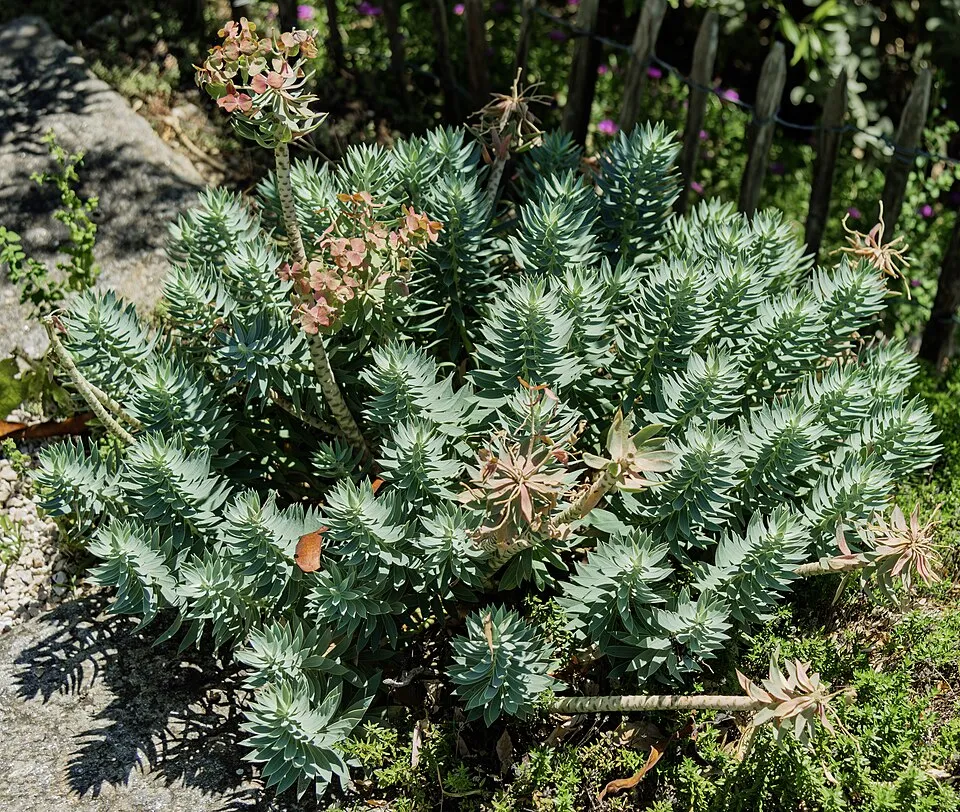
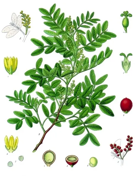
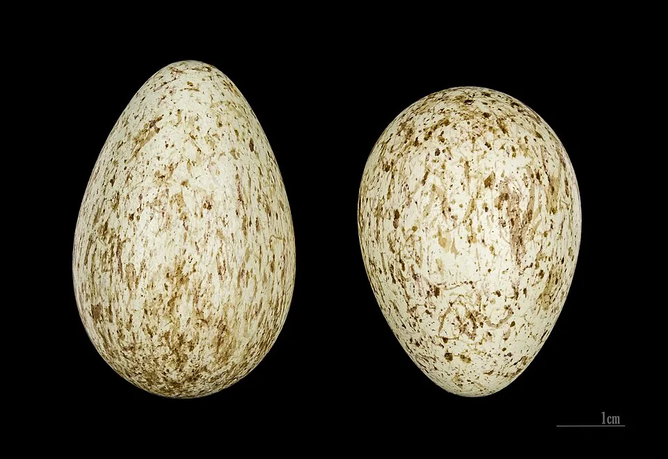
Among the species most often recorded on GBIF are Euphorbia pithyusa, Corvus cornix (Hooded Crow), Euphorbia dendroides (Tree Spurge) and Pistacia lentiscus (Mastic Tree).
What is the official website of Asinara National Park?
© OpenStreetMap
Download the boundary: GeoJSON · GPX Boundary © OpenStreetMap contributors (ODbL).
Geography
Over the 1996–2025 period, the mean annual temperature is about 17.7 °C and total precipitation reaches roughly 549 mm per year. The warmest month is usually August, the coolest February, and the wettest October. According to the European 1:1 million geological map (EGDI), the bedrock consists mainly of mica schists (63% of sampled points), granites (25%) and metamorphic rocks (13%). These are mostly metamorphic rocks. The geological units date mainly from the Ordovician (75% of sampled points).
Area
- Area
- 5,170 ha
- Mean slope
- 11°
- Coordinates
- 41.058, 8.276
Terrain: Mapzen Terrain Tiles (SRTM, USGS)
Bedrock
- Mica schists 63 %
- Granites 25 %
- Metamorphic rocks 13 %
Metamorphic rocks 75 % · Igneous rocks 25 % · Main age: Ordovician (75%)
Source: EGDI 1:1M geological map (EuroGeoSurveys and national geological surveys), CC BY 4.0 · 16 sampled points within the site.
Main summits
- Punta della scomunica406 m
- Punta Maestra Serre391 m
- Piano Mannu318 m
- Punta Ruja300 m
- Punta Maestra Fornelli265 m
- Punta Grabara263 m
- Punta Antoniera245 m
- Punta Tumbarino241 m
- Punta Romasino215 m
- Monte Ruda215 m
Data © OpenStreetMap contributors (ODbL)
Climate
● Mean temperature (°C) · ▮ Precipitation (mm)
Source: Copernicus ERA5 (C3S, doi:10.24381/cds.f17050d7), monthly averages 1996–2025 interpolated to the representative point, temperatures adjusted for elevation.
Contains modified Copernicus Climate Change Service information 2026. Neither the European Commission nor ECMWF is responsible for any use that may be made of the Copernicus information or data it contains.
Natural habitats
According to CORINE Land Cover (2018), the site is mainly made up of Mediterranean scrub (67%), marine waters (13%) and sparsely vegetated land (10%). The site borders the coast. Elevation ranges from sea level to 406 m (highest point: Punta della scomunica). The 2 Natura 2000 sites overlapping the area list 25 habitats of European interest (6 priority), the most extensive being Posidonia beds (Posidonion oceanicae), Thermo-Mediterranean and pre-desert scrub and reefs.
Biodiversity
Based on occurrences aggregated by GBIF, several species are regularly recorded within the site. Among the most frequent are Euphorbia pithyusa, Corvus cornix (Hooded Crow), Euphorbia dendroides (Tree Spurge) and Pistacia lentiscus (Mastic Tree). The full list of documented taxa is shown below. The overlapping Natura 2000 sites list 77 species of European interest: 52 birds, 8 mammals, 8 reptiles, 3 amphibians, 3 invertebrates and 3 plants.
Habitats of European interest
From the official forms of the 2 Natura 2000 sites overlapping the area (areas reported for each whole site).
- Posidonia beds (Posidonion oceanicae) priority 4,468 ha
- Thermo-Mediterranean and pre-desert scrub 2,750 ha
- Reefs 859 ha
- Pseudo-steppe with grasses and annuals of the Thero-Brachypodietea priority 687 ha
- Large shallow inlets and bays 465 ha
- Sandbanks which are slightly covered by sea water all the time 344 ha
- West Mediterranean clifftop phryganas (Astragalo-Plantaginetum subulatae) 344 ha
- Vegetated sea cliffs of the Mediterranean coasts with endemic Limonium spp. 331 ha
and 17 more
Species of European interest
Birds · 52
Moustached Warbler (Acrocephalus melanopogon) passage, Common Kingfisher (Alcedo atthis) wintering passage, Barbary Partridge (Alectoris barbara) resident, Tawny Pipit (Anthus campestris) breeding passage, Great Egret (Ardea alba) passage, Purple Heron (Ardea purpurea) passage, Squacco Heron (Ardeola ralloides) passage, Short-eared Owl (Asio flammeus) wintering passage, Ferruginous Duck (Aythya nyroca) passage, Eurasian Stone-curlew (Burhinus oedicnemus) wintering passage breeding, Ruff (Calidris pugnax) passage, Scopoli's Shearwater (Calonectris diomedea) passage and 40 more
Mammals · 8
Fin whale (Balaenoptera physalus), Short-beaked Common Dolphin (Delphinus delphis), Risso's Dolphin (Grampus griseus), European mouflon (Ovis aries musimon), Greater Horseshoe Bat (Rhinolophus ferrumequinum), Lesser horseshoe bat (Rhinolophus hipposideros), Striped dolphin (Stenella coeruleoalba), Common bottlenose dolphin (Tursiops truncatus)
Reptiles · 8
Fitzinger's Algyroides (Algyroides fitzingeri), Loggerhead sea turtle (Caretta caretta), Ocellated skink (Chalcides ocellatus), European leaf-toed gecko (Euleptes europaea), Western Whip Snake (Hierophis viridiflavus), Italian wall lizard (Podarcis siculus), Tyrrhenian Wall Lizard (Podarcis tiliguerta), Hermann's tortoise (Testudo hermanni)
Amphibians · 3
Green Toad (Bufotes viridis complex), Tyrrhenian painted frog (Discoglossus sardus), Sardinian tree frog (Hyla sarda)
Invertebrates · 3
Red coral (Corallium rubrum), Ribbed Mediterranean limpet (Patella ferruginea), Fan Mussel (Pinna nobilis)
Plants · 3
Buglosse crÈpue (Anchusa crispa), Centaurea horrida, Butcher's-broom (Ruscus aculeatus)
Source: Natura 2000 standard data forms (EEA, CC-BY 4.0). Not exhaustive: sensitive species are not published.
Species to look out for

Bird
Hooded Crow
Corvus cornix25 records © Ricardo Tulio Gandelman from Rio de Janeiro, Brazil · CC BY 2.0

Plant
Mastic Tree
Pistacia lentiscus22 records © Franz Eugen Köhler, Köhler's Medizinal-Pflanzen · Public domain

Observed species
Occurrences documented via GBIF; they are neither an exhaustive inventory nor proof of current presence.
- Euphorbia pithyusa · 30
- Hooded Crow · Corvus cornix · 25
- Tree Spurge · Euphorbia dendroides · 22
- Mastic Tree · Pistacia lentiscus · 22
- Yellow-legged Gull · Larus michahellis · 19
- Northern Raven · Corvus corax · 16
- Common Kestrel · Falco tinnunculus · 16
- European mouflon · Ovis aries musimon · 15
- Barbary Partridge · Alectoris barbara · 15
- Eurasian Magpie · Pica pica · 15
- European shag · Phalacrocorax aristotelis · 14
- Spotless Starling · Sturnus unicolor · 14
+18 more species
- Woodlark · Lullula arborea · 14
- Western Jackdaw · Coloeus monedula · 14
- Common Coot · Fulica atra · 13
- Common Sandpiper · Actitis hypoleucos · 13
- Spotted Flycatcher · Muscicapa striata · 13
- European Goldfinch · Carduelis carduelis · 13
- Rock Dove · Columba livia · 13
- Little Egret · Egretta garzetta · 12
- Grey Heron · Ardea cinerea · 12
- Sardinian Warbler · Curruca melanocephala · 12
- Black-winged Stilt · Himantopus himantopus · 10
- Cirl Bunting · Emberiza cirlus · 10
- European Stonechat · Saxicola rubicola · 9
- Corsican Wall Brown · Lasiommata paramegaera · 9
- Common Shelduck · Tadorna tadorna · 8
- Squirting Cucumber · Ecballium elaterium · 8
- Chaste-tree · Vitex agnus-castus · 8
- Yellow hornpoppy · Glaucium flavum · 8
Records: GBIF.org (CC-BY). Names: Wikidata (CC0), GBIF. Photos: Wikimedia Commons.
Conservation challenges
The primary purpose of the site is to preserve its natural habitats and the biodiversity they support. The species recorded (Biodiversity tab) reflect its ecological value. The designations it holds frame its management and the control of land use.
According to the European CORINE Land Cover inventory (Copernicus), land cover changed on about 249 ha of the site between 1990 and 2018 (6% of its area): forest shrank by 203 ha, mostly giving way to open natural land, while open natural land grew by 157 ha, mostly at the expense of forest. At night, the area gives off virtually no artificial light detectable from space (NASA VIIRS Black Marble composite, 2016). According to the Natura 2000 forms, of 24 assessed habitats of European interest, 11 are in excellent condition and the rest in good condition. According to the Water Framework Directive assessment (2022 river basin management plans, data 2019–2021), water bodies assessed within the site: coastal waters, 2 of 2 in good ecological status or better.
Pressure indicators
Tree cover lost
5 ha
2001–2023 · < 1% of the area
20012023
Fires since 2016
0
No large fire mapped (fires over about 30 ha)
Light at night
0%
of the area gives off artificial light visible from space
DarkLit
Built-up land
< 1%
buildings, business areas, roads, quarries · farmland 2%
Land cover change
249 ha
changed cover, 1990–2018 · CORINE · 6% of the area
- −203 ha · forest
- +157 ha · open natural land
Rivers and lakes
Coastal waters: 2 of 2 good or better
assessments 2019–2021
Sources: Global Forest Change (Hansen et al., University of Maryland, via Global Forest Watch, CC-BY 4.0); EFFIS, European Commission / Copernicus; NASA Black Marble 2016 (public domain); CORINE Land Cover 2018 (Copernicus) or MODIS.
CORINE Land Cover Change 1990–2018: generated using European Union's Copernicus Land Monitoring Service information (EEA), aggregated by Parkavela; DOI 10.2909/f30f1000-7cf8-43bb-872c-5eb093911b24.
Ecological status of water bodies: European Environment Agency, WISE – Water Framework Directive, 3rd river basin management plans (2022), CC BY 4.0. Official national classification, not comparable between countries.
Practical information
Cities and airport
- Sassari
38 km as the crow flies - Ajaccio
95 km as the crow flies - Airport: Alghero Fertilia (AHO)
39 km as the crow flies
Parking
1 public car parks listed within the site
Parcheggio
Things to see
1 viewpoint · 3 lakes and ponds · 2 caves
- Invaso del Pecorile
lake or pond - Grotta delle Colombelle
cave - Invaso di Fornelli
lake or pond - Invaso di Santa Maria
lake or pond
Hiking
10 waymarked routes listed
Data © OpenStreetMap contributors (ODbL) · Wikidata (CC0)
Bathing
7 monitored bathing sites in or within 1 km of the site · 2025 classification
Excellent · 7
- Cala Barache Napoletane · sea · Excellent
- Cala Dei Ponzesi (cala Sabina) · sea · Excellent
- Cala Detenuti - Cala D`oliva · sea · Excellent
- Campo Boe - Cala Reale · sea · Excellent
- Porto Vecchio Fornelli · sea · Excellent
- Spiaggia Ossario · sea · Excellent
- Spiaggia Punta Luzzu · sea · Excellent
Source: European Environment Agency, official bathing water classification (Directive 2006/7/EC, CC-BY 4.0). Swimming is only permitted at the sites and times authorised locally.
Access and visiting
The nearest railway station is Porto Torres Marittima, about 20 km from the site boundary. Nearest towns of over 50,000 people, as the crow flies: Sassari (38 km) and Ajaccio (95 km). Nearest airport: Alghero Fertilia (AHO), about 39 km away. Fewer than 5,000 people live within 20 km of the site boundary, a very sparsely populated area; the site itself is virtually uninhabited (GHSL estimate, 2020). Public car parks listed within the site: 1, including Parcheggio. Waymarked hiking routes listed in OpenStreetMap: 10. To see: 1 viewpoint, 3 lakes and ponds and 2 caves, including Invaso del Pecorile, Grotta delle Colombelle, Invaso di Fornelli and Invaso di Santa Maria. To plan a visit (access, opening periods, visitor rules), it is best to consult the official information from the managing body and the official website listed in this page's sources.
Source: OpenStreetMap (ODbL), Wikidata (CC0), October 2026.
Built heritage
According to Wikidata, 6 monuments protected as Italian national cultural heritage stand within the boundary. Among them are 4 castles and fortifications, 1 prehistoric or archaeological site and 1 house or civic building. Examples include “Castello dell'Asinara” in Porto Torres, “Domus de janas di Campu Perdu” in Porto Torres and “Stazione sanitaria dell'Asinara” in Porto Torres.
4 castles and fortifications1 prehistoric or archaeological site1 house or civic building
-
Castello dell'Asinara
Porto Torres -
Domus de janas di Campu Perdu
Porto Torres -
Stazione sanitaria dell'Asinara
Porto Torres -
Cala d'Arena Tower
Porto Torres · 17th c. -
Cala d'Oliva tower
Porto Torres · 17th c. -
Trabuccato Tower
Porto Torres · 17th c.
Source: Wikidata (CC0), monuments in each country’s official heritage protection registers, at national or regional level. Each item links to its Wikidata entry.
When to visit
Best time to visit: from March to August, with average temperatures of 12 to 25 °C and moderate rainfall. Precipitation peaks in October (up to 110 mm per month). Day length ranges from about 9 h 14 min in December to 15 h 07 min in June. Wildlife records published on GBIF peak for birds (September), plants (May) and butterflies and moths (October). These peaks also reflect when observers are most active.
Source: Copernicus ERA5 (C3S), monthly averages 1996–2025 at the representative point, temperatures adjusted for elevation.
Contains modified Copernicus Climate Change Service information 2026. Neither the European Commission nor ECMWF is responsible for any use that may be made of the Copernicus information or data it contains.
Wildlife records calendar
JFMAMJJASOND
Birds
Plants
Butterflies & moths
Monthly records published on GBIF (CC-BY), relative to the busiest month; also reflects observer activity.
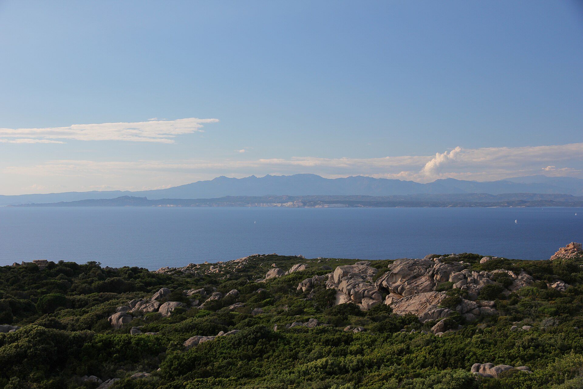
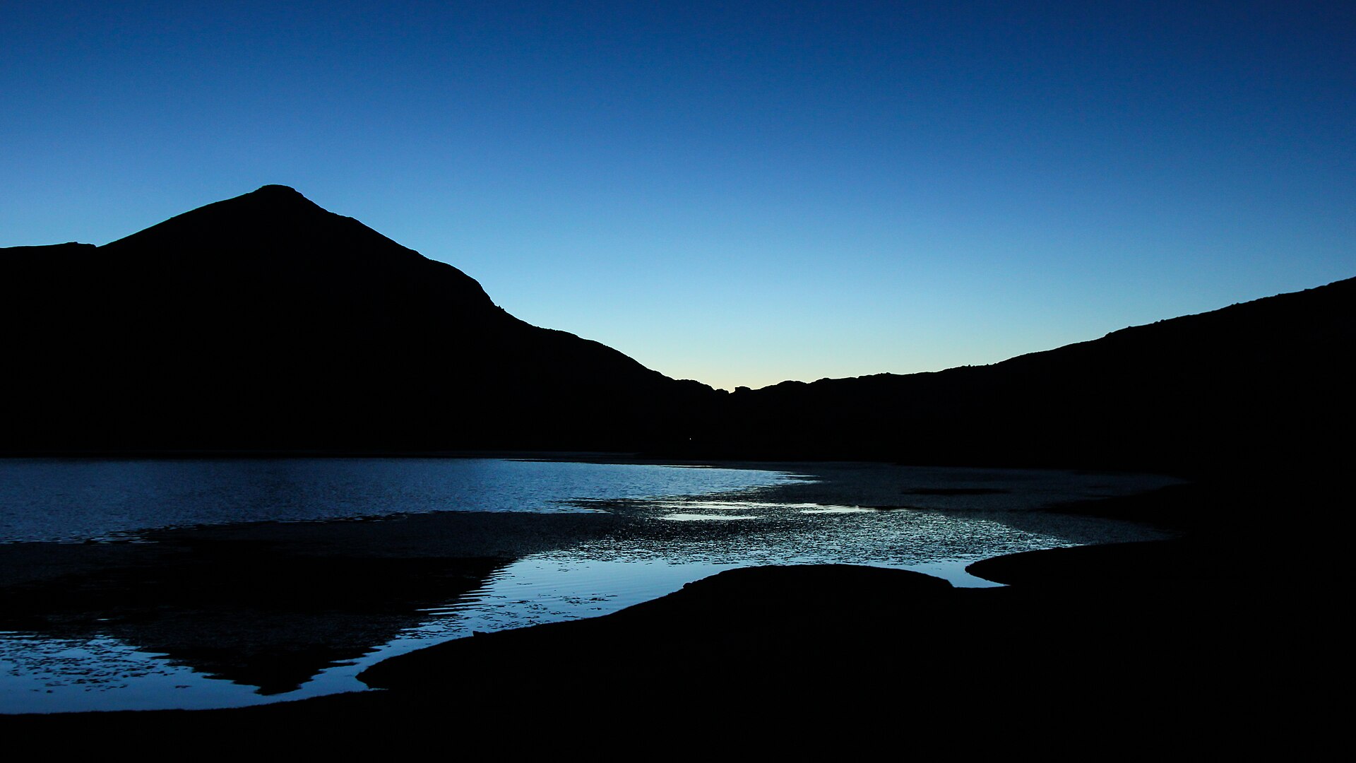
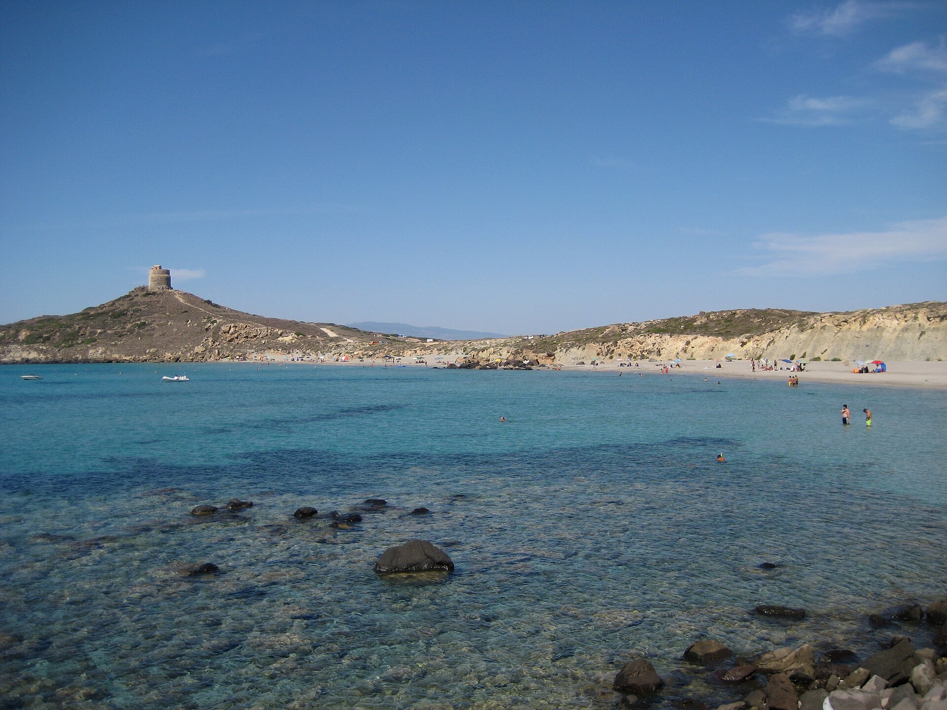
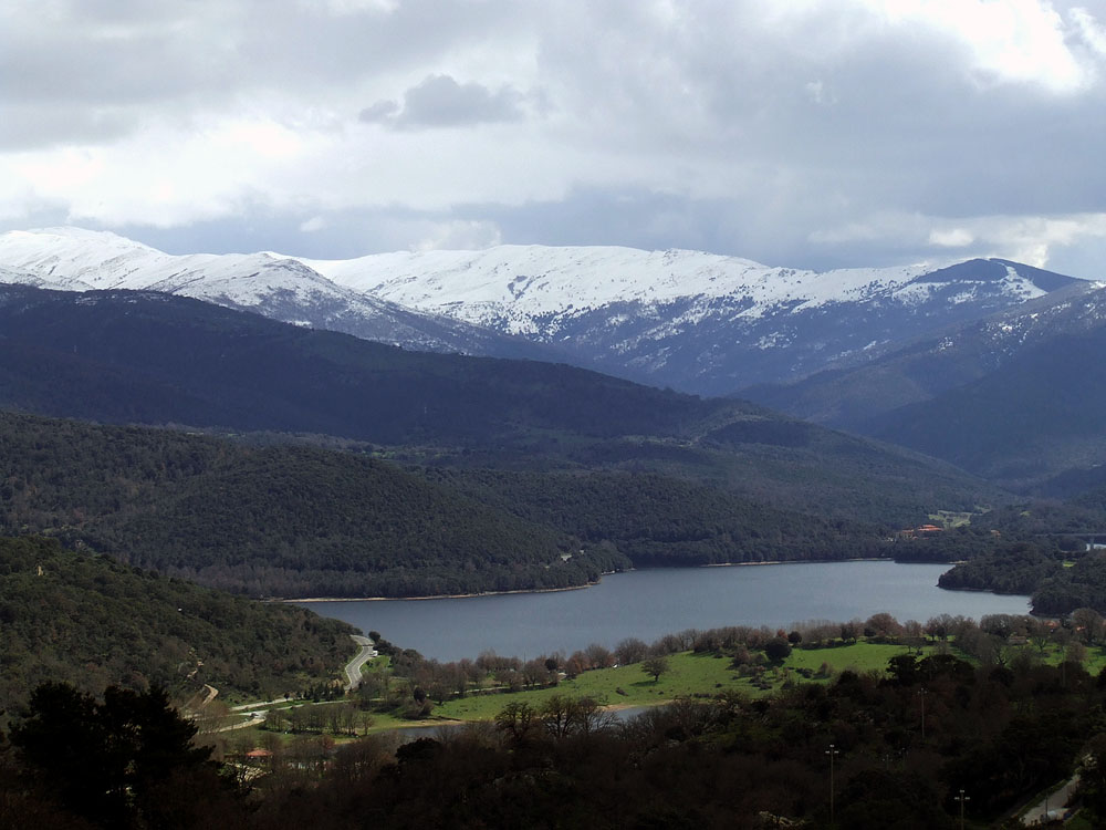
Gallery
© Gianni Careddu · CC BY-SA 3.0
© Tomi · CC BY-SA 3.0
© Alexkom000 · CC BY 4.0
© Earth Science and Remote Sensing Unit, Lyndon B. Johnson Space Center · Public domain
© Earth Science and Remote Sensing Unit, Lyndon B. Johnson Space Center · Public domain
© Alexkom000 · CC BY 4.0
Sources and licences
- Wikidata: Q1091068
- OpenStreetMap: relation 9652560
- Official website: http://www.parcoasinara.org/
- Wikipedia: en.wikipedia.org/wiki/Asinara_National_Park
- WDPA: 100839
References
- cds.climate.copernicus.eu: climate · CC-BY-4.0
- registry.opendata.aws: elevation of the reference point, detailed relief · PD
- land.copernicus.eu: land cover, land cover change, sea share · COPERNICUS
- doi.org: population around the site · CC-BY-4.0
- wikidata.org: official area, establishment date, protected heritage, nearby cities and airport, access and peaks, lake depths, places to see, official website · CC0-1.0
- eea.europa.eu: bathing water quality, ecological status of waters · CC-BY-4.0
- en.eurovelo.com: EuroVelo cycle routes · ODbL-1.0
- cycling.waymarkedtrails.org: cycle routes · ODbL-1.0
- opentopodata.org: elevations · PD
- forest-fire.emergency.copernicus.eu: wildfires · COPERNICUS
- globalforestwatch.org: tree cover loss · CC-BY-4.0
- gbif.org: seasonality of sightings, invasive alien species, observed species · CC-BY-4.0
- europe-geology.eu: geology · CC-BY-4.0
- hydrosheds.org: lakes · CC-BY-4.0
- natura2000.eea.europa.eu: Natura 2000 habitats and species · CC-BY-4.0
- openstreetmap.org: official name, access and peaks, places to see, trail difficulty · ODbL-1.0
- earthobservatory.nasa.gov: night light · PD
- nsidc.org: snow cover · PD
- wikidata.org: Wikipedia article · CC-BY-SA-4.0
Data © OpenStreetMap contributors (ODbL), Wikidata (CC0) and the sources cited.