
Mammal
Fin whale: where to see it
Balaenoptera physalus
This mammal species is recorded in 8 protected areas of the atlas, including 7 whose official Natura 2000 form lists it. Within the atlas countries, it is mostly observed in Norway, France and Spain (7 countries in all). Records peak from June to September. It is a species of Community interest under the Habitats Directive (Annex IV).
Best time to see it: June–September
Records published on GBIF by month (CC0 and CC BY 4.0 licences only), in the atlas countries, all years combined; they also reflect observer activity.
Key facts
- Gestation
- 11.5 months Wikidata, after Grzimeks Enzyklopädie, 1988
Status and protection
Habitats Directive IV
The species is listed in Annex IV of the Habitats Directive.
Distribution
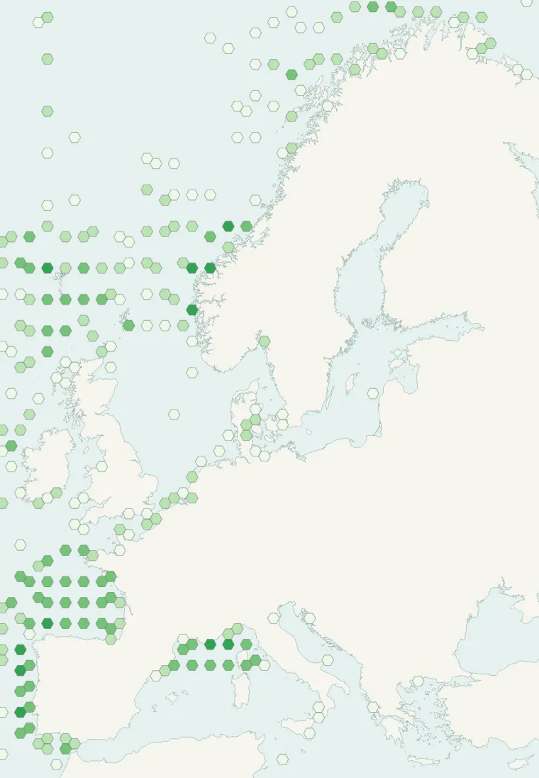
Records published on GBIF (CC0 and CC BY 4.0 licences): the darker the shade, the more records there are; they also reflect observation effort.
Atlas countries where it is recorded
From Wikipedia
The fin whale (Balaenoptera physalus), also known as the finback whale or common rorqual, is a species of baleen whale and the second-longest cetacean after the blue whale. The biggest individual reportedly measured 26–27.3 m (85–90 ft) in length, with a maximum recorded weight of 65.5 to 120 t (64.5 to 118.1 long tons; 72.2 to 132.3 short tons). The fin whale's body is long, slender, and brownish-gray in color, with a paler underside to appear less conspicuous from below (countershading).
Source: Wikipedia, article “Fin whale” (version of October 17, 2026) · history and authors · licence CC BY-SA 4.0 · shortened excerpt
Protected areas where it is recorded
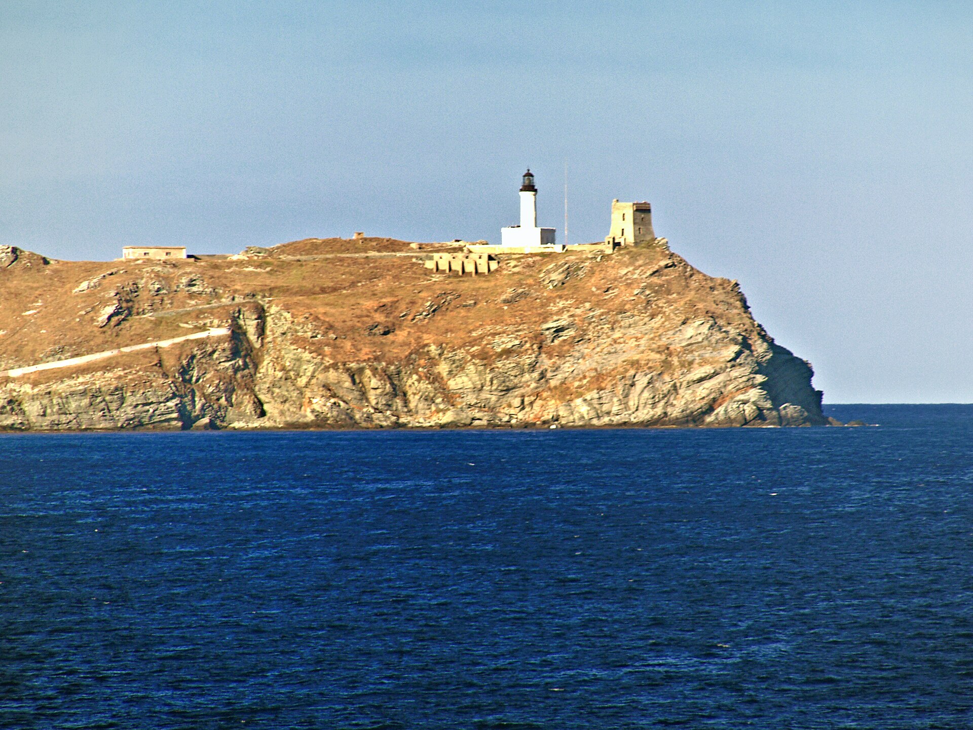
Natura 2000 192 records

994 records

Natura 2000
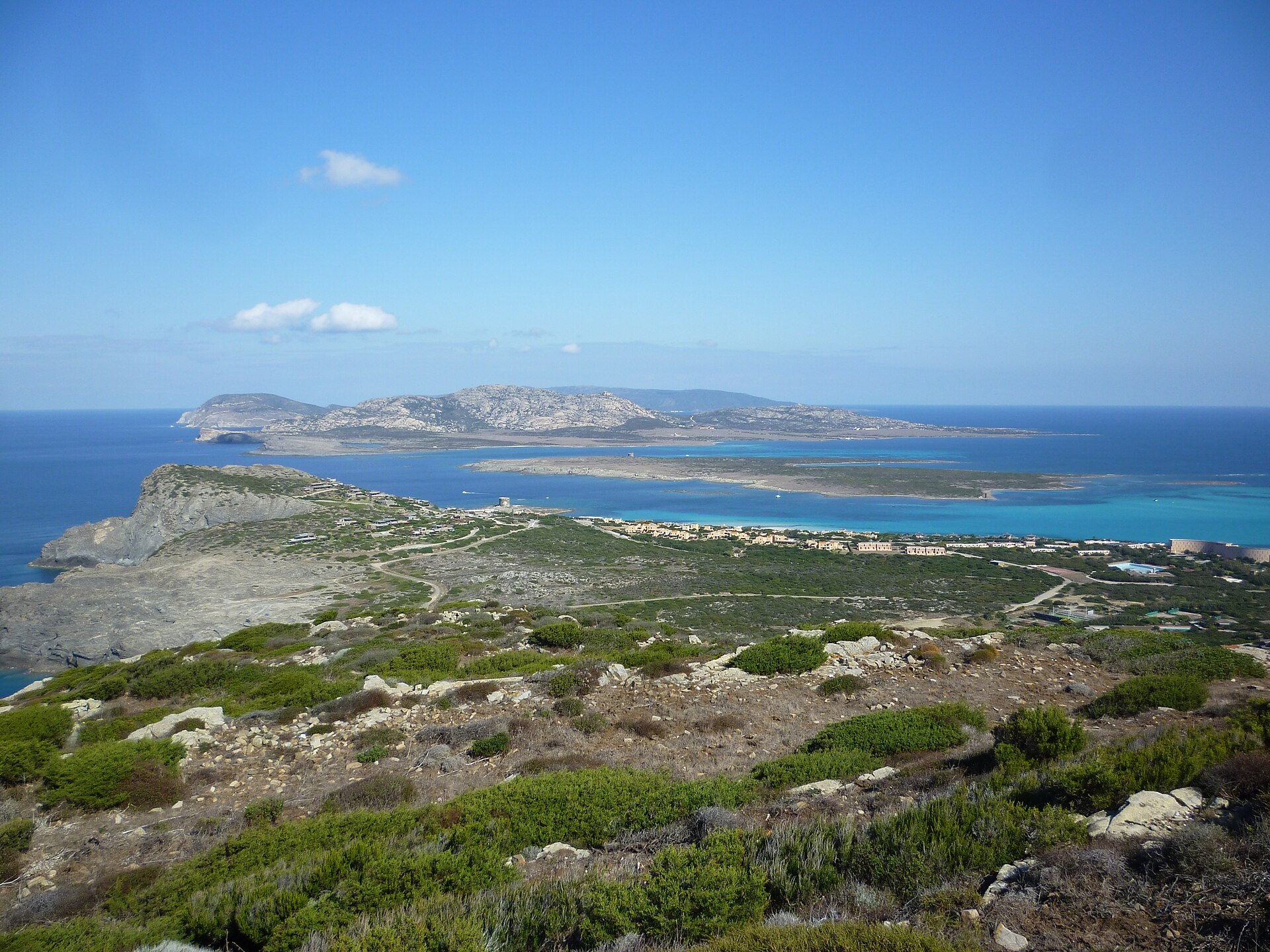
Natura 2000

Natura 2000
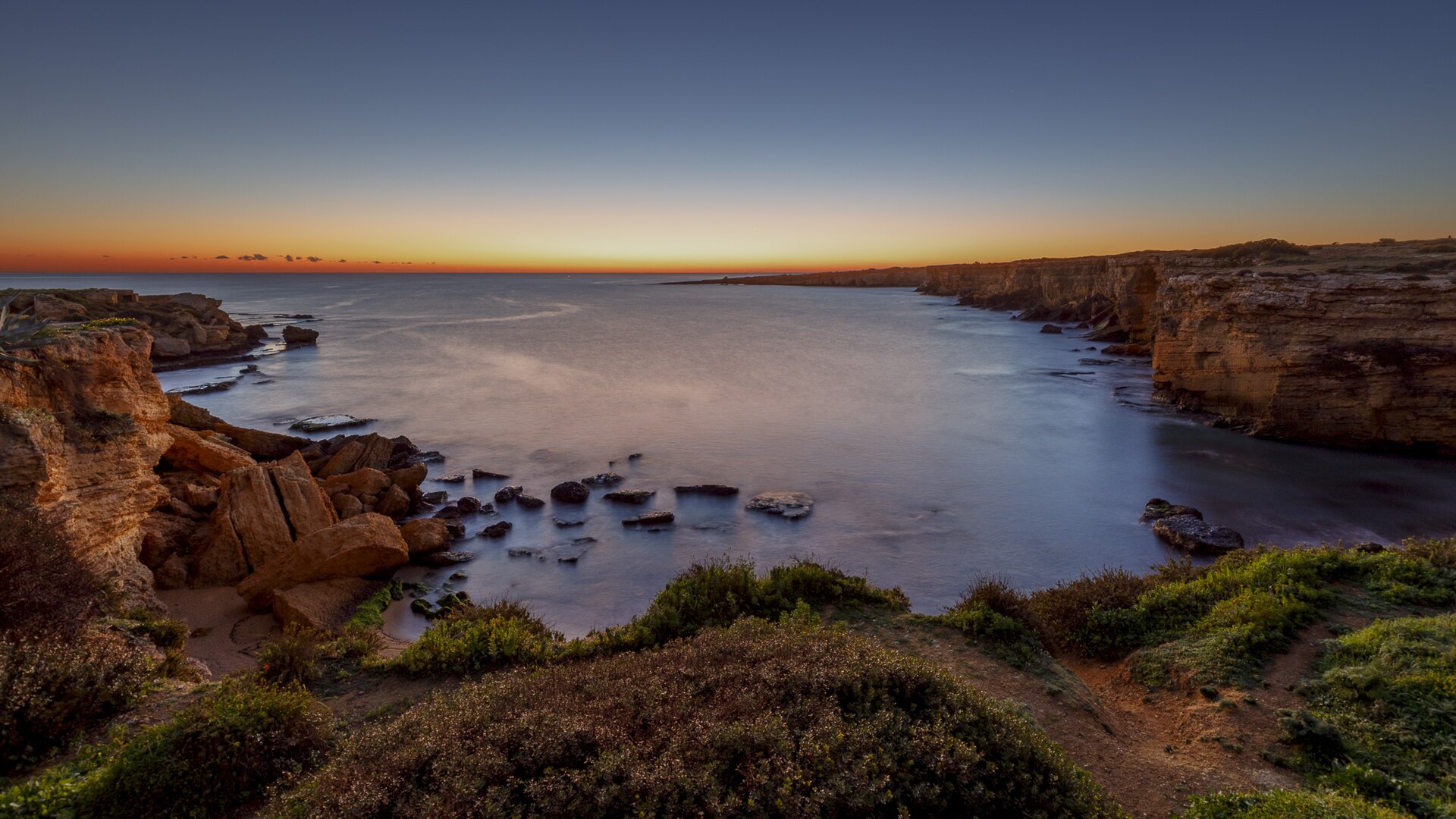
Natura 2000
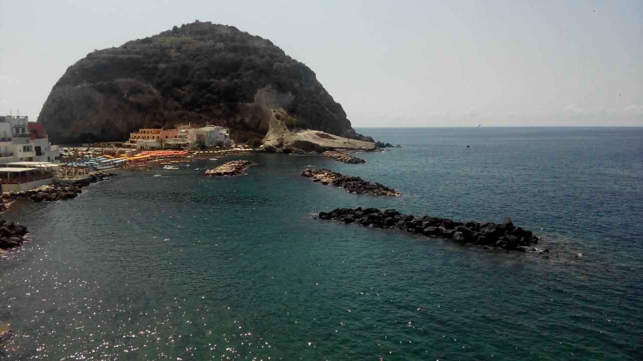
Natura 2000

Natura 2000
Other species to discover
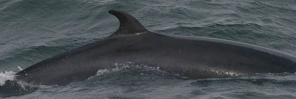 Minke whale
Balaenoptera acutorostrata Same genus
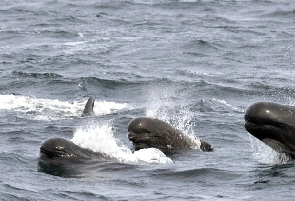 Long-finned pilot whale
Globicephala melas 5 places in common
 Cuvier's Beaked Whale
Ziphius cavirostris 4 places in common
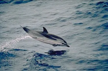 Striped dolphin
Stenella coeruleoalba 7 places in common
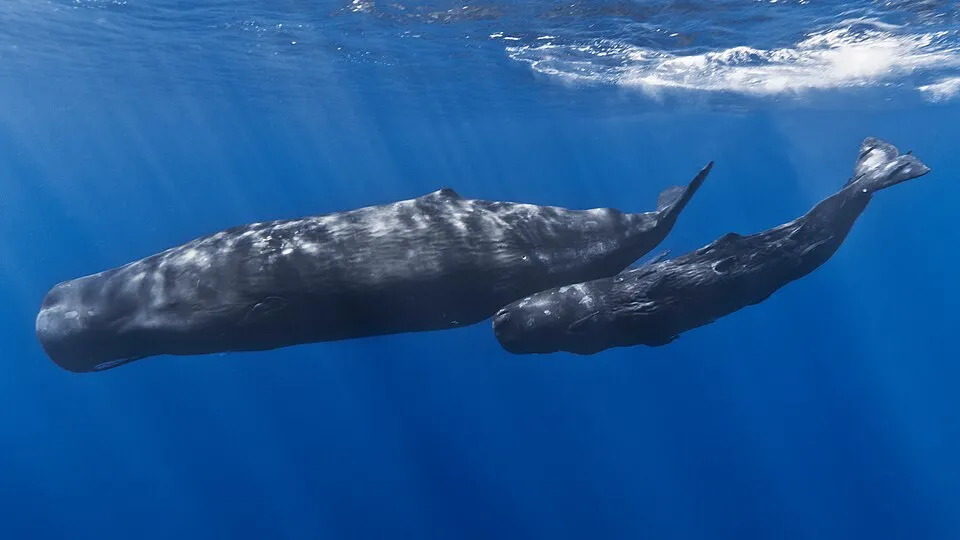 Sperm whale
Physeter macrocephalus 4 places in common
 Risso's Dolphin
Grampus griseus 6 places in common
Sources and credits
- Presence: most-recorded species of each place on GBIF and species of Community interest in the Natura 2000 forms (EEA, CC-BY 4.0); absence from the list does not mean the species is absent.
- Common names: Wikidata (CC0) and GBIF.
- Photos and sounds: Wikimedia Commons, author and licence given for each file.
- Classification: GBIF Backbone Taxonomy (GBIF Secretariat), CC BY 4.0, doi:10.15468/39omei.
- Countries, elevations, months and maps: GBIF.org, CC0 or CC BY 4.0 occurrences only, accessed October 22, 2026, GBIF.org.
- Base map: Natural Earth (public domain).
- Excerpt: Wikipedia, CC BY-SA 4.0 (full credit below the excerpt).
- Key facts: Wikidata (CC0), with the references cited under each value.
- Annexes: Directive 92/43/EEC (consolidated version), © European Union, EUR-Lex.