Plant
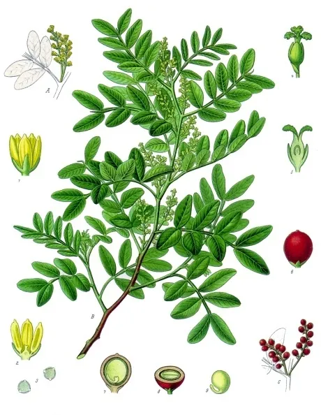
Mastic Tree
Pistacia lentiscus283 records © Franz Eugen Köhler, Köhler's Medizinal-Pflanzen · Public domain
Italy · Terrestrial
Regional nature park of 5,200 hectares in Italy, established in 1999.
Regional nature park of 5,200 hectares in Italy, established in 1999.
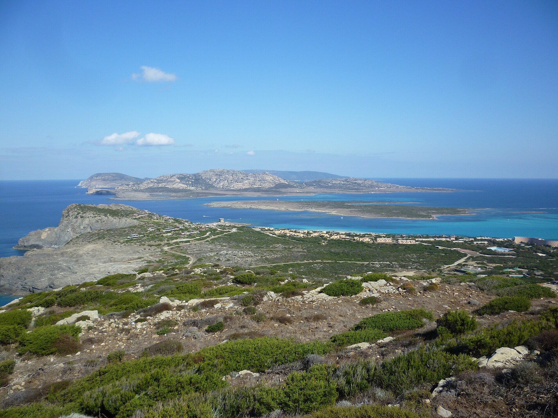
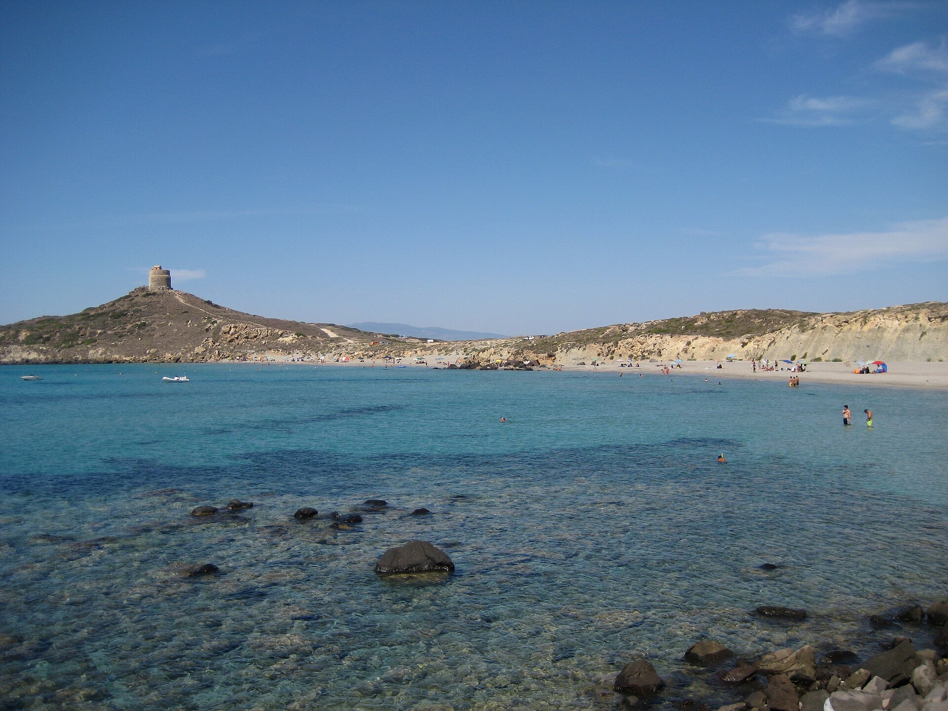
Porto Conte Regional Natural Park is a regional nature park in Italy (Europe). It is a predominantly terrestrial area. Established in 1999, it covers about 5,200 hectares.
Protected as a regional nature park. International labels and designations: Natura 2000 network (2 sites). Key dates: established in 1999 and first Natura 2000 site under the Birds Directive in 2009.
Sources: Wikidata (CC0) for establishment and international labels; EEA Natura 2000 database (CC-BY 4.0) for site designation dates.
In Italy (Europe). Representative point: 40.6059° N, 8.2023° E.
About 5,200 hectares (52 km²). It is the 73rd largest of the 128 regional parks in Italy covered by Parkavela. About 500 ha are at sea.
In 1999.
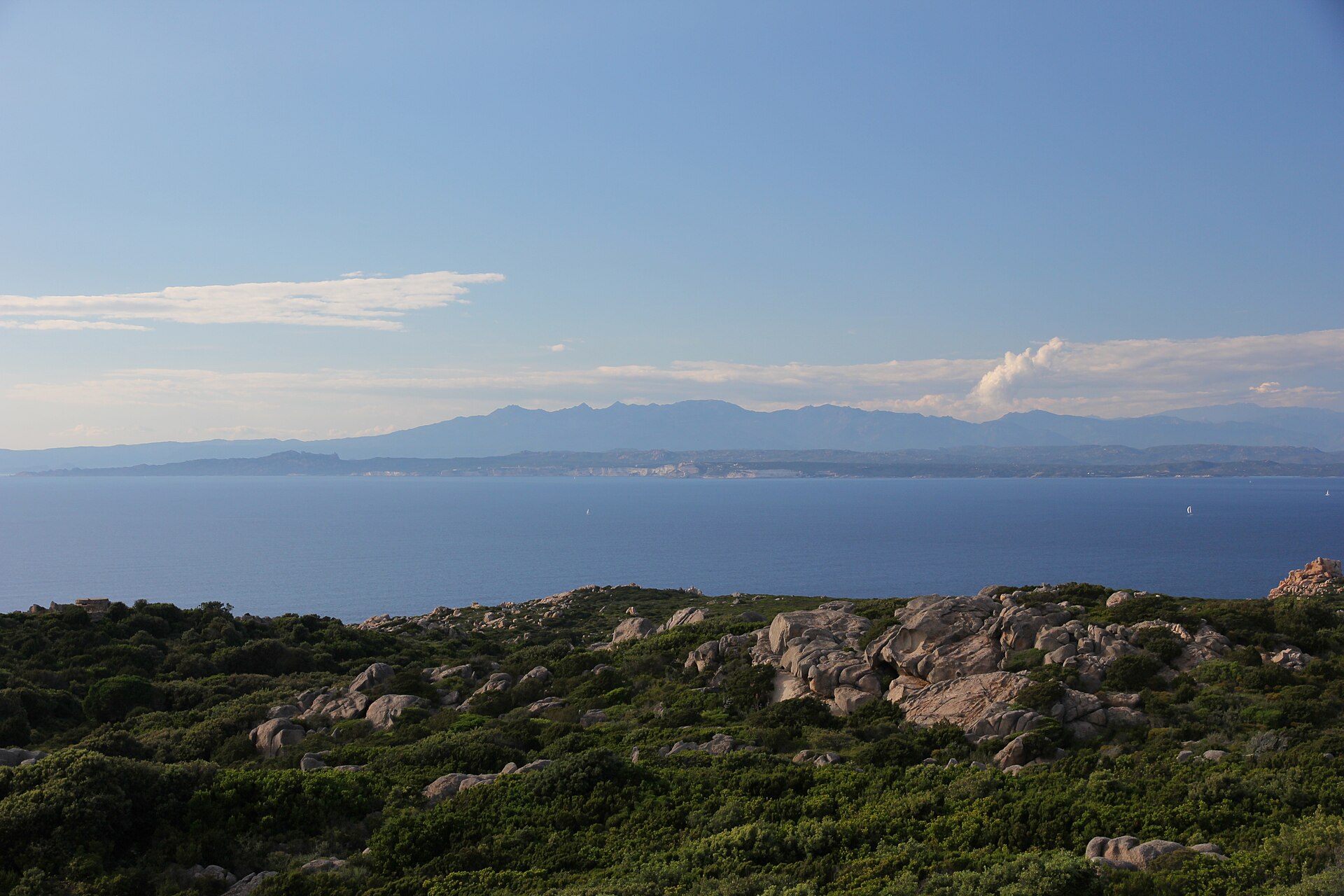
A terrestrial area, with forests and coasts.
According to the European 1:1 million geological map (EGDI), the bedrock consists mainly of limestones (67% of sampled points) and unconsolidated deposits (25%). These are mostly sedimentary rocks. The geological units date mainly from the Jurassic (50% of sampled points).
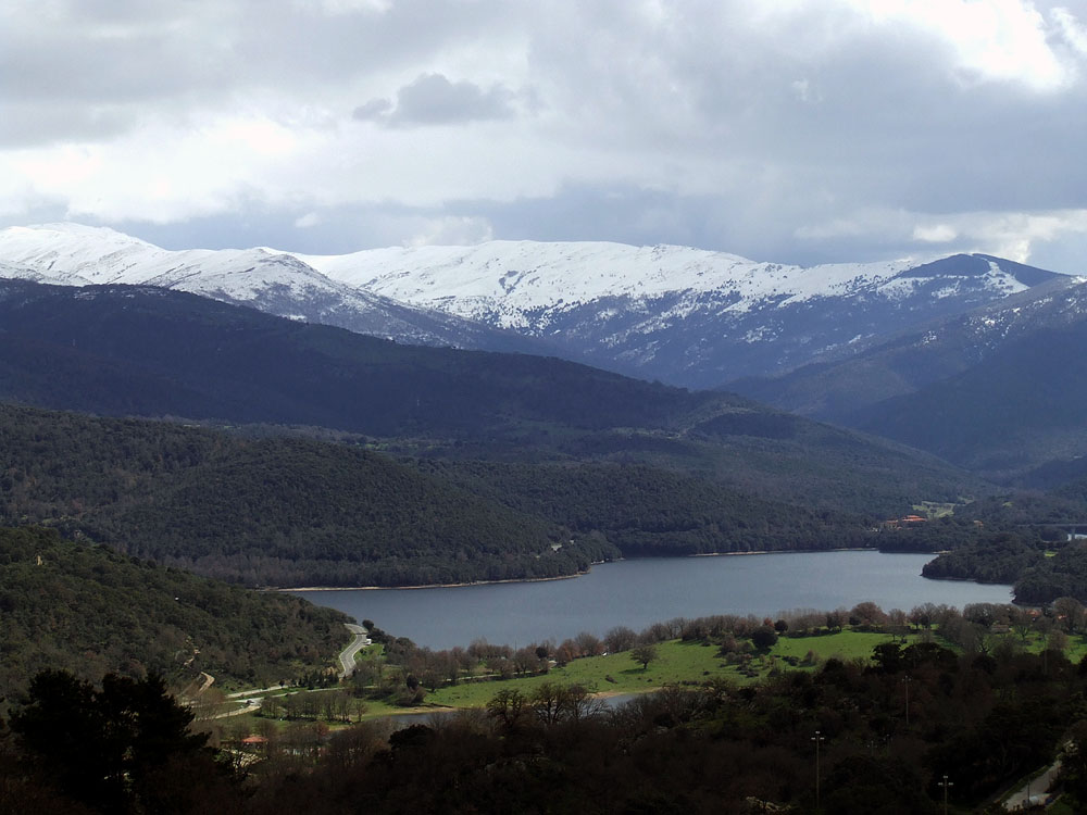
Monte Doglia, at 432 m (OpenStreetMap).
Monte Doglia (432 m), Monte Timidone (361 m), Punta Frade Mannu (312 m), Punta del Leone (284 m) and Punta del Castello (273 m) (OpenStreetMap).
Natura 2000 network (2 sites).
Best time to visit: from April to October, with average temperatures of 14 to 26 °C and moderate rainfall.
6 viewpoints, 1 lake or pond and 4 caves, including Stagno di Calich, Grotta dei Cervi, Grotta dei Fantasmi and Grotta della Dragunara (OpenStreetMap).
4 campsites, including Camping Glamping Village Torre del Porticciolo, Il Villaggio e Campeggio Nurral and Laguna Blu (OpenStreetMap).
Yes. According to Wikidata, 9 monuments protected as Italian national cultural heritage stand within the boundary. For example: “Torre del Bol” in Alghero, “Villa di Sant'Imbenia” in Alghero and “Poblat de Sant'Imbenia” in Alghero.
19 monitored bathing sites lie in or within 1 km of the site; official 2025 classification: 18 excellent and 1 good (European Environment Agency). Swimming is only permitted at the sites and times authorised locally.
Nearest towns of over 50,000 people, as the crow flies: Sassari (25 km). Nearest airport: Alghero Fertilia (AHO), about 2 km away.
The nearest railway station is Porto Torres, about 25 km from the site boundary.
Biglietteria Grotta di Nettuno, Casa del Parco de Porto Conte and IAT.
Yes. Waymarked hiking routes listed in OpenStreetMap: 10, including El Camí. The “CC-C · El Camí IT4TR1 El Camí Illenc: de l'Alguer a Formentera” route runs for about 37 km through the site, with some 380 m of ascent on its longest section.
Among the species most often recorded on GBIF are Pistacia lentiscus (Mastic Tree), Cladophialophora lanosa, Russula anatina and Larus michahellis (Yellow-legged Gull).
© OpenStreetMap
Download the boundary: GeoJSON · GPX Boundary © OpenStreetMap contributors (ODbL).
Over the 1996–2025 period, the mean annual temperature is about 17.6 °C and total precipitation reaches roughly 491 mm per year. The warmest month is usually August, the coolest February, and the wettest November. According to the European 1:1 million geological map (EGDI), the bedrock consists mainly of limestones (67% of sampled points) and unconsolidated deposits (25%). These are mostly sedimentary rocks. The geological units date mainly from the Jurassic (50% of sampled points). The site contains one lake larger than 10 ha (stagno di Calich), totalling 65 ha of water (HydroLAKES). stagno di Calich is 2 m deep (Wikidata).
Terrain: Mapzen Terrain Tiles (SRTM, USGS) · Lakes: HydroLAKES (Messager et al. 2016, hydrosheds.org, CC BY 4.0) · depths: Wikidata (CC0)
Sedimentary rocks 100 % · Main age: Jurassic (50%)
Source: EGDI 1:1M geological map (EuroGeoSurveys and national geological surveys), CC BY 4.0 · 12 sampled points within the site.
Data © OpenStreetMap contributors (ODbL)
● Mean temperature (°C) · ▮ Precipitation (mm)
Source: Copernicus ERA5-Land (C3S, doi:10.24381/cds.68d2bb30), monthly averages 1996–2025 interpolated to the representative point, temperatures adjusted for elevation.
Contains modified Copernicus Climate Change Service information 2026. Neither the European Commission nor ECMWF is responsible for any use that may be made of the Copernicus information or data it contains.
According to CORINE Land Cover (2018), the site is mainly made up of forests (45%), Mediterranean scrub (26%) and farmland (17%). Woodland is mostly coniferous. The site borders the coast. Elevation ranges from sea level to 432 m (highest point: Monte Doglia). The 2 Natura 2000 sites overlapping the area list 22 habitats of European interest (4 priority), the most extensive being Posidonia beds (Posidonion oceanicae), large shallow inlets and bays and Thermo-Mediterranean and pre-desert scrub.
Based on occurrences aggregated by GBIF, several species are regularly recorded within the site. Among the most frequent are Pistacia lentiscus (Mastic Tree), Cladophialophora lanosa, Russula anatina and Larus michahellis (Yellow-legged Gull). The full list of documented taxa is shown below. The overlapping Natura 2000 sites list 53 species of European interest: 27 birds, 9 mammals, 5 reptiles, 3 amphibians, 5 invertebrates and 4 plants.
From the official forms of the 2 Natura 2000 sites overlapping the area (areas reported for each whole site).
and 14 more
Barbary Partridge (Alectoris barbara) resident, Tawny Pipit (Anthus campestris) passage breeding, Great Egret (Ardea alba) wintering, Eurasian Stone-curlew (Burhinus oedicnemus) breeding passage wintering, Scopoli's Shearwater (Calonectris diomedea) breeding, European Nightjar (Caprimulgus europaeus) passage breeding, Western Marsh Harrier (Circus aeruginosus) passage wintering, Hen Harrier (Circus cyaneus) passage, Montagu's Harrier (Circus pygargus) passage, European Roller (Coracias garrulus) passage, Little Egret (Egretta garzetta) wintering passage, Ortolan Bunting (Emberiza hortulana) passage and 15 more
Common bent-wing bat (Miniopterus schreibersii), Long-fingered bat (Myotis capaccinii), Geoffroy's bat (Myotis emarginatus), Felten's myotis (Myotis punicus), Greater Horseshoe Bat (Rhinolophus ferrumequinum), Lesser horseshoe bat (Rhinolophus hipposideros), Mehely's Horseshoe Bat (Rhinolophus mehelyi), Striped dolphin (Stenella coeruleoalba), Common bottlenose dolphin (Tursiops truncatus)
Loggerhead sea turtle (Caretta caretta), European Pond Turtle (Emys orbicularis), European leaf-toed gecko (Euleptes europaea), Hermann's tortoise (Testudo hermanni), Marginated tortoise (Testudo marginata)
Green Toad (Bufotes viridis complex), Tyrrhenian painted frog (Discoglossus sardus), Sardinian tree frog (Hyla sarda)
Centrostephanus longispinus, Red coral (Corallium rubrum), Corsican Swallowtail (Papilio hospiton), Ribbed Mediterranean limpet (Patella ferruginea), Fan Mussel (Pinna nobilis)
Buglosse crÈpue (Anchusa crispa), Brassica insularis, Centaurea horrida, Linaria flava
Source: Natura 2000 standard data forms (EEA, CC-BY 4.0). Not exhaustive: sensitive species are not published.
Plant
283 records © Franz Eugen Köhler, Köhler's Medizinal-Pflanzen · Public domain



Bird
103 records © Ricardo Tulio Gandelman from Rio de Janeiro, Brazil · CC BY 2.0

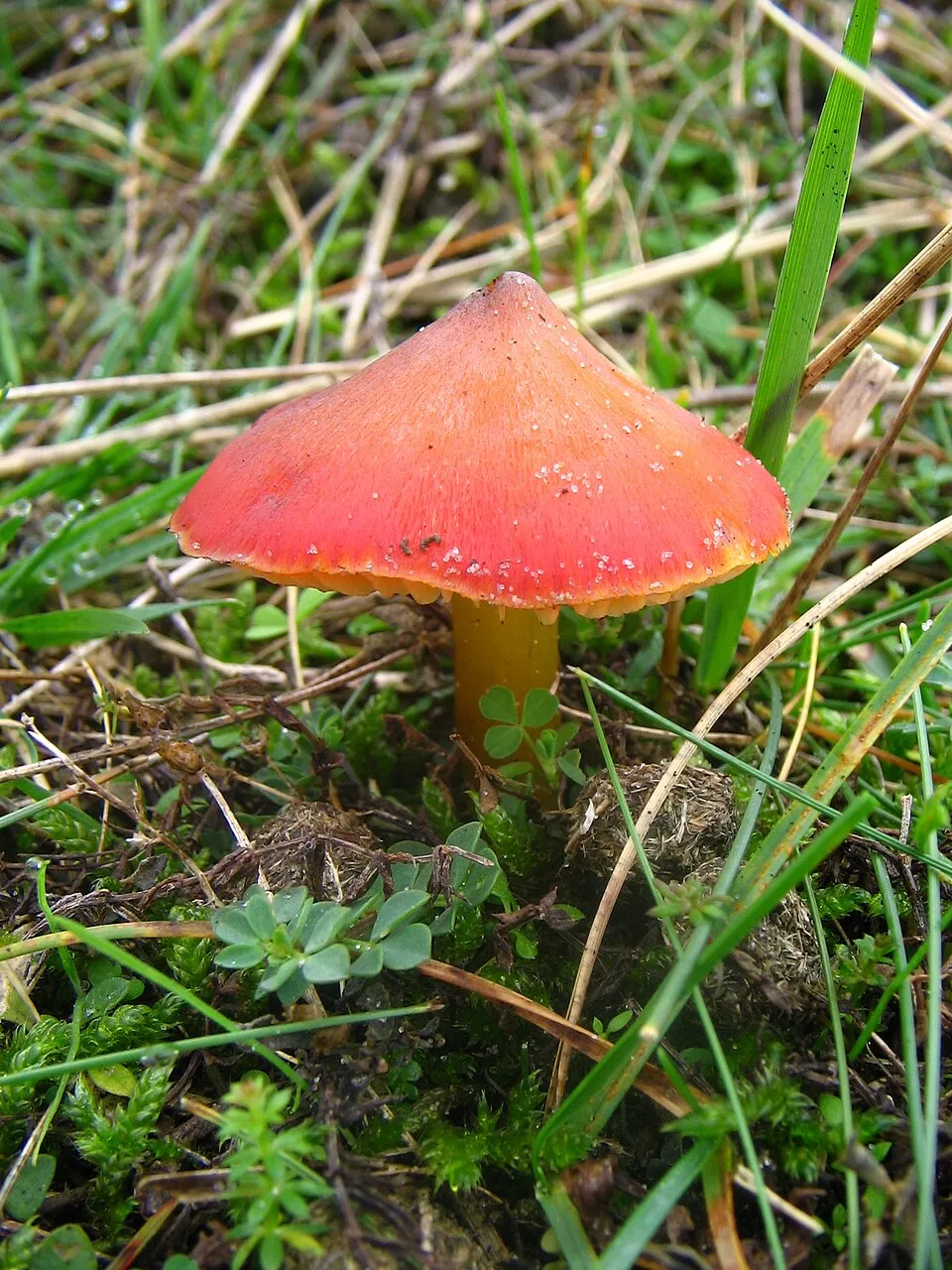
Occurrences documented via GBIF; they are neither an exhaustive inventory nor proof of current presence.
Records: GBIF.org (CC-BY). Names: Wikidata (CC0), GBIF. Photos: Wikimedia Commons.
The primary purpose of the site is to preserve its natural habitats and the biodiversity they support. The species recorded (Biodiversity tab) reflect its ecological value. The designations it holds frame its management and the control of land use.
According to Global Forest Change data (University of Maryland, Global Forest Watch), about 31 ha of tree cover were lost within the boundary between 2001 and 2023 (under 1% of its area), peaking in 2009 and 2016. These losses include logging, storms and fires, and do not account for regrowth. According to the European CORINE Land Cover inventory (Copernicus), land cover changed on about 315 ha of the site between 1990 and 2018 (7% of its area): forest shrank by 301 ha, mostly giving way to open natural land, while open natural land grew by 262 ha, mostly at the expense of forest. Forest felling and regrowth add about 70 ha in total over the period. At night, 16% of the area gives off artificial light detectable from space (NASA VIIRS Black Marble composite, 2016). Built-up and developed land (buildings, business areas, roads, quarries) covers 3% of the area, and farmland 17% (CORINE Land Cover). According to the Natura 2000 forms, of 21 assessed habitats of European interest, 12 are in excellent condition and 4 in average or reduced condition. According to the Water Framework Directive assessment (2022 river basin management plans, data 2016–2021), water bodies assessed within the site: lagoons and estuaries, 0 of 1 in good ecological status or better; coastal waters, 2 of 2 in good ecological status or better. Since 2000, 6 invasive alien species have been recorded within the site (GBIF observations), one of them listed as of Union concern under EU Regulation 1143/2014. Among them: Acacia saligna (Orange wattle), Oxalis pes-caprae (Bermuda buttercup) and Arundo donax (Giant Reed).
31 ha
2001–2023 · < 1% of the area
0
No large fire mapped (fires over about 30 ha)
16%
of the area gives off artificial light visible from space
3%
buildings, business areas, roads, quarries · farmland 17%
315 ha
changed cover, 1990–2018 · CORINE · 7% of the area
forest felling and regrowth: 70 ha in total
Lagoons and estuaries: 0 of 1 good or better
Coastal waters: 2 of 2 good or better
assessments 2016–2021
6
incl. 1 of EU concern · since 2000
Photos: Orange wattle © JoJan · CC BY-SA 3.0; Bermuda buttercup © MathKnight and Zachi Evenor אביר המתמטיקה וצחי אבנור · CC BY-SA 4.0; Giant Reed © H. Zell · CC BY-SA 3.0; American century plant © Stan Shebs · CC BY-SA 3.0; Pampas grass © Solipsist · CC BY-SA 2.0; Tuna Cactus © JMK · CC BY-SA 3.0
Sources: Global Forest Change (Hansen et al., University of Maryland, via Global Forest Watch, CC-BY 4.0); EFFIS, European Commission / Copernicus; NASA Black Marble 2016 (public domain); CORINE Land Cover 2018 (Copernicus) or MODIS.
CORINE Land Cover Change 1990–2018: generated using European Union's Copernicus Land Monitoring Service information (EEA), aggregated by Parkavela; DOI 10.2909/f30f1000-7cf8-43bb-872c-5eb093911b24.
Ecological status of water bodies: European Environment Agency, WISE – Water Framework Directive, 3rd river basin management plans (2022), CC BY 4.0. Official national classification, not comparable between countries.
Invasive alien species: Global Register of Introduced and Invasive Species (ISSG, CC BY 4.0); Union list, Regulation (EU) 1143/2014 (INBO, CC0); GBIF.org records (CC0 / CC BY 4.0), at least 2 per species.
6 viewpoints · 1 lake or pond · 4 caves
4 campsites
10 waymarked routes listed, including:
Data © OpenStreetMap contributors (ODbL) · Wikidata (CC0)
37.4 km within the site ↗ 375 m↘ 133 m 0–329 m
Tracks © OpenStreetMap contributors (ODbL), clipped to the boundary; elevation gain and profiles computed on the longest section from Mapzen Terrain Tiles (≈ 30 m), indicative only.
19 monitored bathing sites in or within 1 km of the site · 2025 classification
and 9 more
Source: European Environment Agency, official bathing water classification (Directive 2006/7/EC, CC-BY 4.0). Swimming is only permitted at the sites and times authorised locally.
The nearest railway station is Porto Torres, about 25 km from the site boundary. Nearest towns of over 50,000 people, as the crow flies: Sassari (25 km). Nearest airport: Alghero Fertilia (AHO), about 2 km away. About 53,000 people live within 20 km of the site boundary, 42,000 of them within 10 km; some 1,200 people are estimated to live inside (GHSL estimate, 2020). Visitor information on site: Biglietteria Grotta di Nettuno, Casa del Parco de Porto Conte and IAT. Waymarked hiking routes listed in OpenStreetMap: 10, including El Camí. To see: 6 viewpoints, 1 lake or pond and 4 caves, including Stagno di Calich, Grotta dei Cervi, Grotta dei Fantasmi and Grotta della Dragunara. Where to stay: 4 campsites, including Camping Glamping Village Torre del Porticciolo, Il Villaggio e Campeggio Nurral and Laguna Blu. To plan a visit (access, opening periods, visitor rules), it is best to consult the official information from the managing body and the official website listed in this page's sources.
Source: OpenStreetMap (ODbL), Wikidata (CC0), October 2026.
According to Wikidata, 9 monuments protected as Italian national cultural heritage stand within the boundary. Among them are 6 castles and fortifications and 2 prehistoric and archaeological sites. Examples include “Torre del Bol” in Alghero, “Villa di Sant'Imbenia” in Alghero and “Poblat de Sant'Imbenia” in Alghero.
and 1 more
Source: Wikidata (CC0), monuments in each country’s official heritage protection registers, at national or regional level. Each item links to its Wikidata entry.
Best time to visit: from April to October, with average temperatures of 14 to 26 °C and moderate rainfall. Day length ranges from about 9 h 17 min in December to 15 h 04 min in June. Wildlife records published on GBIF peak for plants (April) and butterflies and moths (June). These peaks also reflect when observers are most active.
Source: Copernicus ERA5-Land (C3S), monthly averages 1996–2025 at the representative point, temperatures adjusted for elevation.
Contains modified Copernicus Climate Change Service information 2026. Neither the European Commission nor ECMWF is responsible for any use that may be made of the Copernicus information or data it contains.
Monthly records published on GBIF (CC-BY), relative to the busiest month; also reflects observer activity.
Data © OpenStreetMap contributors (ODbL), Wikidata (CC0) and the sources cited.
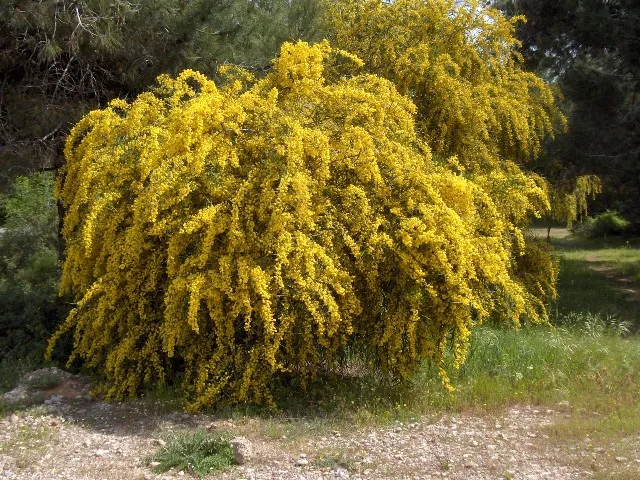 Orange wattleEU
 Bermuda buttercup
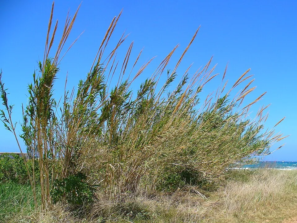 Giant Reed
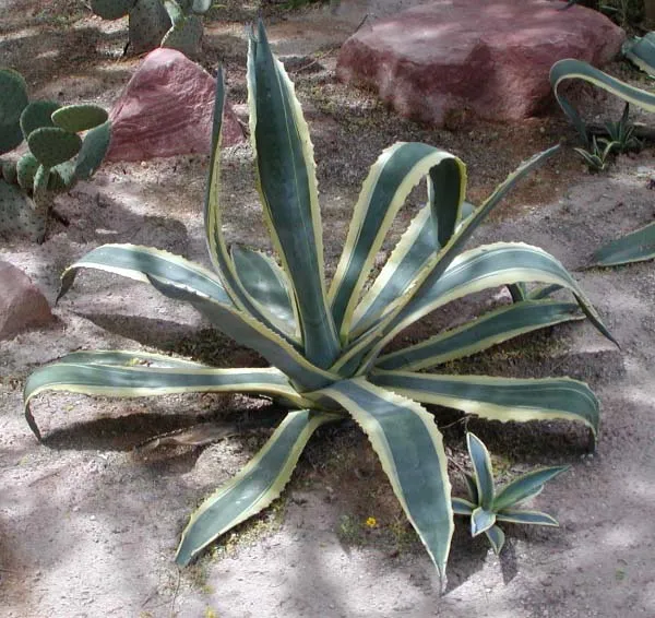 American century plant
 Pampas grass
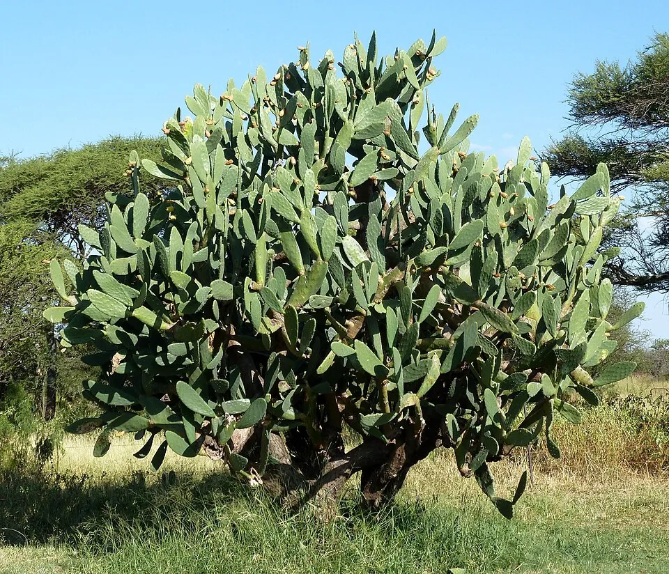 Tuna Cactus