Plant
Aleppo Pine
Pinus halepensis3,660 records © spacebirdy(also known as geimfyglið (:> )=| made with Sternenlaus-spirit) · CC BY-SA 3.0
Spain · Terrestrial
Nature park of 4,993 hectares in Spain, established in 1989.
Nature park of 4,993 hectares in Spain, established in 1989.
Montes de Málaga Natural Park is a nature park in Spain (Europe). It is a predominantly terrestrial area. Established in 1989, it covers about 4,993 hectares.
Protected as a nature park. International labels and designations: Natura 2000 network (1 site: “Montes de Málaga”).
In Spain (Europe). Representative point: 36.8333° N, 4.3667° W.
About 4,993 hectares (50 km²). It is the 56th largest of the 73 nature parks in Spain covered by Parkavela.
In 1989.
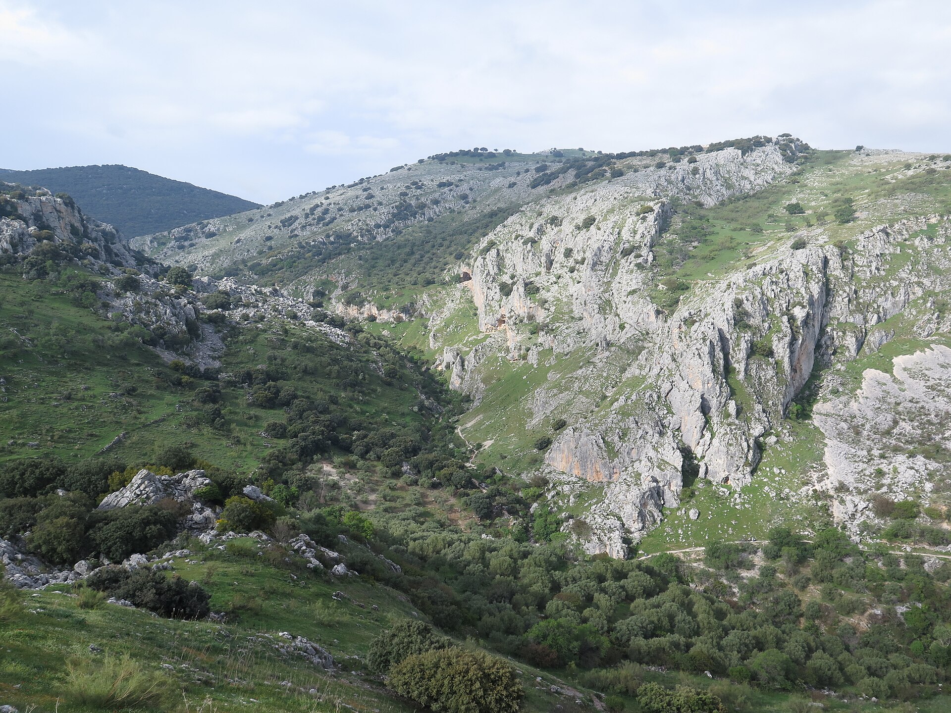
A terrestrial area, with forests and mountains.
According to the European 1:1 million geological map (EGDI), the bedrock consists mainly of mudstones (100% of sampled points). These are mostly sedimentary rocks. The geological units date mainly from the Precambrian (100% of sampled points).
Reina, at 1,032 m (OpenStreetMap).
Reina (1,032 m), Viento (1,029 m) and Leoncillo (234 m) (OpenStreetMap).
Natura 2000 network (1 site: “Montes de Málaga”).
Nearest towns of over 50,000 people, as the crow flies: Málaga (5 km). Nearest airport: Málaga-Costa del Sol (AGP), about 12 km away.
The nearest railway station is Málaga Centro Alameda, about 5 km from the site boundary.
Yes. Waymarked hiking routes listed in OpenStreetMap: 7, including Casabermeja. The “Sendero Picapedrero-Boticario” route runs for about 6 km through the site, with some 370 m of ascent on its longest section.
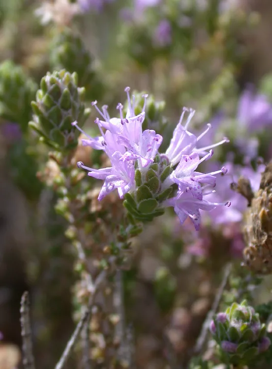
Among the species most often recorded on GBIF are Pinus halepensis (Aleppo Pine), Thymbra capitata (Persian-hyssop), Salvia rosmarinus (Rosemary) and Quercus rotundifolia (Ballota oak).
© OpenStreetMap
Download the boundary: GeoJSON · GPX Boundary © OpenStreetMap contributors (ODbL).
According to the European 1:1 million geological map (EGDI), the bedrock consists mainly of mudstones (100% of sampled points). These are mostly sedimentary rocks. The geological units date mainly from the Precambrian (100% of sampled points).
Terrain: Mapzen Terrain Tiles (SRTM, USGS)
Sedimentary rocks 100 % · Main age: Precambrian (100%)
Source: EGDI 1:1M geological map (EuroGeoSurveys and national geological surveys), CC BY 4.0 · 13 sampled points within the site.
According to CORINE Land Cover (2018), the site is mainly made up of forests (77%), Mediterranean scrub (11%) and farmland (8%). Woodland is mostly coniferous. Elevation ranges from about 190 m to 1,032 m (highest point: Reina). The terrain is steep: 62% of slopes exceed 15° (mean slope 17°). The Natura 2000 site overlapping the area lists 12 habitats of European interest (1 priority), the most extensive being pseudo-steppe with grasses and annuals of the Thero-Brachypodietea, Thermo-Mediterranean and pre-desert scrub and dehesas with evergreen Quercus spp.
Based on occurrences aggregated by GBIF, several species are regularly recorded within the site. Among the most frequent are Pinus halepensis (Aleppo Pine), Thymbra capitata (Persian-hyssop), Salvia rosmarinus (Rosemary) and Quercus rotundifolia (Ballota oak). The full list of documented taxa is shown below. The overlapping Natura 2000 site lists 19 species of European interest: 9 birds, 7 mammals, 2 reptiles and 1 amphibian.
From the official form of the Natura 2000 site overlapping the area (areas reported for the whole site).
and 4 more
Eurasian Goshawk (Accipiter gentilis) resident, Bonelli's Eagle (Aquila fasciata) passage resident, Eurasian Eagle-owl (Bubo bubo) passage, Common Buzzard (Buteo buteo) resident, Short-toed Snake Eagle (Circaetus gallicus) breeding, Thekla's Lark (Galerida theklae) resident, Booted Eagle (Hieraaetus pennatus) breeding, Woodlark (Lullula arborea) resident, Dartford Warbler (Sylvia undata) resident
Meridional serotine (Eptesicus isabellinus), Eurasian otter (Lutra lutra), Kuhl's pipistrelle (Pipistrellus kuhlii), Common pipistrelle (Pipistrellus pipistrellus), Soprano Pipistrelle (Pipistrellus pygmaeus), Greater Horseshoe Bat (Rhinolophus ferrumequinum), Lesser horseshoe bat (Rhinolophus hipposideros)
Source: Natura 2000 standard data forms (EEA, CC-BY 4.0). Not exhaustive: sensitive species are not published.
Plant
3,660 records © spacebirdy(also known as geimfyglið (:> )=| made with Sternenlaus-spirit) · CC BY-SA 3.0
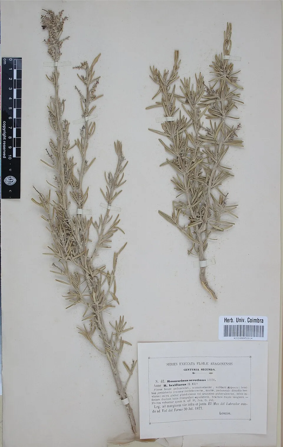
Plant
805 records © Herbarium of the University of Coimbra (COI) · CC BY 4.0

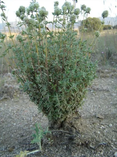
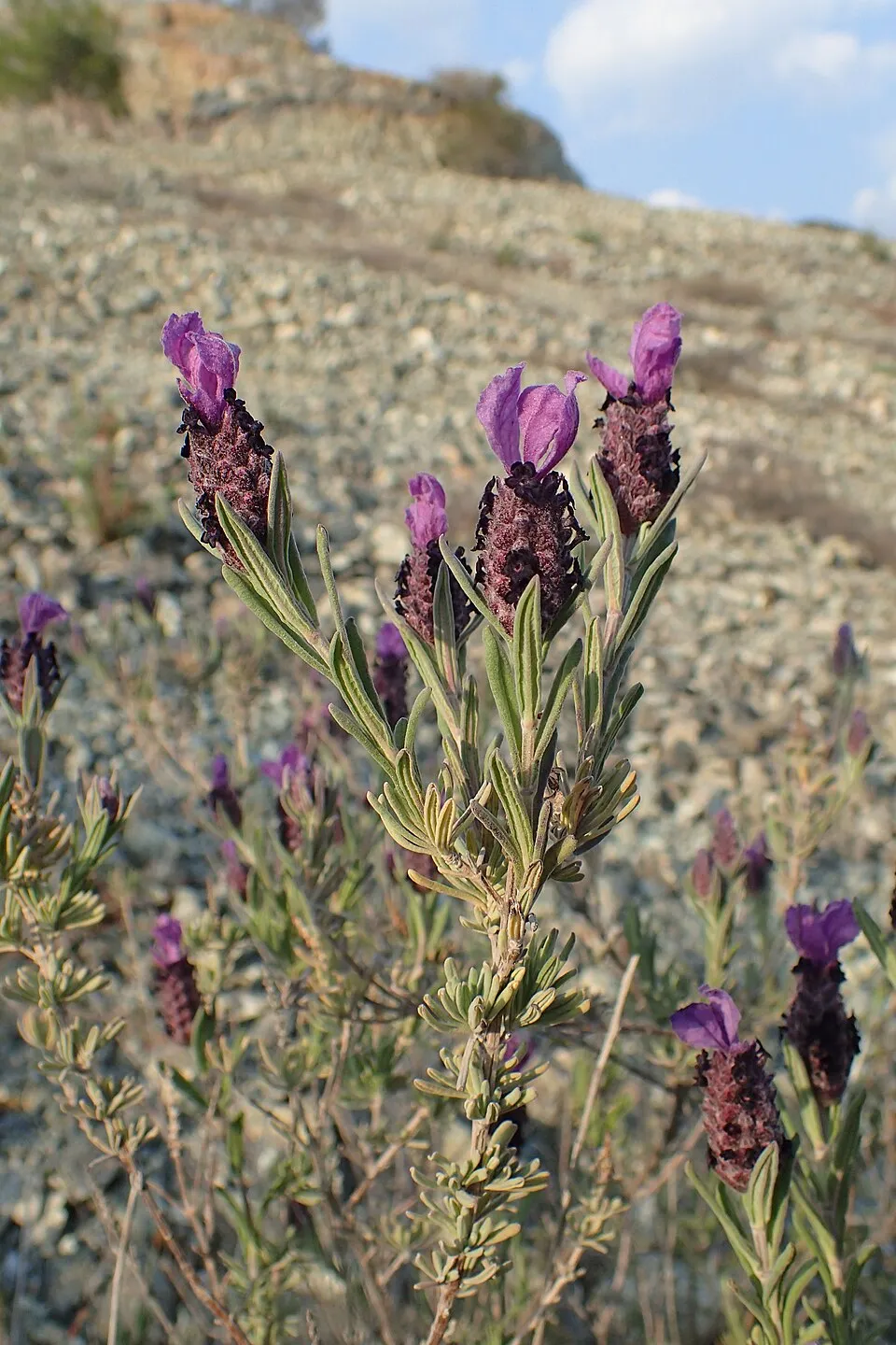
Occurrences documented via GBIF; they are neither an exhaustive inventory nor proof of current presence.
Records: GBIF.org (CC-BY). Names: Wikidata (CC0), GBIF. Photos: Wikimedia Commons.
The primary purpose of the site is to preserve its natural habitats and the biodiversity they support. The species recorded (Biodiversity tab) reflect its ecological value. The designations it holds frame its management and the control of land use.
According to Global Forest Change data (University of Maryland, Global Forest Watch), about 43 ha of tree cover were lost within the boundary between 2001 and 2023 (under 1% of its area), peaking in 2007 and 2011. These losses include logging, storms and fires, and do not account for regrowth. According to the European CORINE Land Cover inventory (Copernicus), land cover changed on about 26 ha of the site between 1990 and 2018 (under 1% of its area): farmland grew by 26 ha, mostly at the expense of forest, while forest shrank by 26 ha, mostly giving way to farmland. At night, 20% of the area gives off artificial light detectable from space (NASA VIIRS Black Marble composite, 2016). According to the Natura 2000 forms, of 11 assessed habitats of European interest, 2 are in excellent condition and 4 in average or reduced condition. Invasive alien species have been recorded within the site since 2000 (GBIF observations), one of them listed as of Union concern. Among them: Ailanthus altissima (Tree-of-heaven), Myiopsitta monachus (Monk Parakeet) and Oxalis pes-caprae (Bermuda buttercup).
43 ha
2001–2023 · < 1% of the area
0
No large fire mapped (fires over about 30 ha)
20%
of the area gives off artificial light visible from space
26 ha
changed cover, 1990–2018 · CORINE · < 1% of the area
4
incl. 1 of EU concern · since 2000
Photos: Tree-of-heaven © Darkone · CC BY-SA 2.5; Monk Parakeet © Kevin Jones · CC BY 2.0; Bermuda buttercup © MathKnight and Zachi Evenor אביר המתמטיקה וצחי אבנור · CC BY-SA 4.0; Rose-ringed Parakeet © Afsarnayakkan · CC BY 3.0
Sources: Global Forest Change (Hansen et al., University of Maryland, via Global Forest Watch, CC-BY 4.0); EFFIS, European Commission / Copernicus; NASA Black Marble 2016 (public domain); CORINE Land Cover 2018 (Copernicus) or MODIS.
CORINE Land Cover Change 1990–2018: generated using European Union's Copernicus Land Monitoring Service information (EEA), aggregated by Parkavela; DOI 10.2909/f30f1000-7cf8-43bb-872c-5eb093911b24.
Invasive alien species: Global Register of Introduced and Invasive Species (ISSG, CC BY 4.0); Union list, Regulation (EU) 1143/2014 (INBO, CC0); GBIF.org records (CC0 / CC BY 4.0), at least 2 per species.
7 waymarked routes listed, including:
25 km graded out of 87 km of paths
SAC scale (T1–T6) © OpenStreetMap contributors (ODbL): indicative only, check with the park.
Data © OpenStreetMap contributors (ODbL) · Wikidata (CC0)
3.7 km within the site ↗ 12 m↘ 180 m 794–973 m
Tracks © OpenStreetMap contributors (ODbL), clipped to the boundary; elevation gain and profiles computed on the longest section from Mapzen Terrain Tiles (≈ 30 m), indicative only.
The nearest railway station is Málaga Centro Alameda, about 5 km from the site boundary. Nearest towns of over 50,000 people, as the crow flies: Málaga (5 km). Nearest airport: Málaga-Costa del Sol (AGP), about 12 km away. About 820,000 people live within 20 km of the site boundary, 570,000 of them within 10 km; some 710 people are estimated to live inside (GHSL estimate, 2020). This population has grown by about 16% since 2000. Waymarked hiking routes listed in OpenStreetMap: 7, including Casabermeja. Of the roughly 20 km of paths with a difficulty grade in OpenStreetMap, 5% are easy hiking (T1), 90% mountain hiking (T2) and 5% demanding or alpine hiking (T3–T6). This is indicative only: check with the park. To plan a visit (access, opening periods, visitor rules), it is best to consult the official information from the managing body and the official website listed in this page's sources.
Source: OpenStreetMap (ODbL), Wikidata (CC0), October 2026.
Monthly records published on GBIF (CC-BY), relative to the busiest month; also reflects observer activity.
Data © OpenStreetMap contributors (ODbL), Wikidata (CC0) and the sources cited.
 Tree-of-heaven
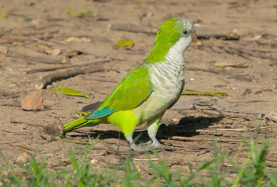 Monk Parakeet
 Bermuda buttercup
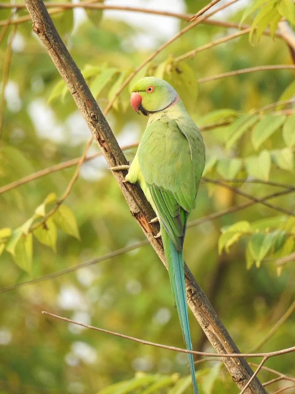 Rose-ringed Parakeet