
Spain · Terrestrial
Sierra de Grazalema Natural Park
Nature park of 53,411 hectares in Spain, established in 1985.
Overview
Nature park of 53,411 hectares in Spain, established in 1985.
Sierra de Grazalema Natural Park is a nature park in Spain (Europe). It is a predominantly terrestrial area. Established on 12 February 1985, it covers about 53,411 hectares.
Protections and designations
UNESCO Biosphere Reserve
Natura 2000 · habitats (SAC) · 2 sites
- Río Guadalevín ES6170034
- Sierra de Grazalema ES0000031
Natura 2000 · birds (SPA)
- Sierra de Grazalema ES0000031
Protected as a nature park. International labels and designations: UNESCO Biosphere Reserve and Natura 2000 network (2 sites). Key dates: established in 1985, first Natura 2000 site under the Birds Directive in 1987, Biosphere Reserve in 1992 and first Natura 2000 site under the Habitats Directive in 2012.
In our collections
Timeline
-
1985
Established
-
1987
First Natura 2000 site under the Birds Directive
-
1992
UNESCO Biosphere Reserve Sierra de Grazalema Natural Park
-
2012
First Natura 2000 site under the Habitats Directive 2 such sites designated up to 2015
Sources: Wikidata (CC0) for establishment and international labels; EEA Natura 2000 database (CC-BY 4.0) for site designation dates.
Frequently asked questions
Where is Sierra de Grazalema Natural Park?
In Spain (Europe). Representative point: 36.7300° N, 5.3700° W.
How large is Sierra de Grazalema Natural Park?
About 53,411 hectares (534 km²). It is the 10th largest of the 73 nature parks in Spain covered by Parkavela.
When was Sierra de Grazalema Natural Park established?
On 12 February 1985.
What habitats and landscapes does Sierra de Grazalema Natural Park include?
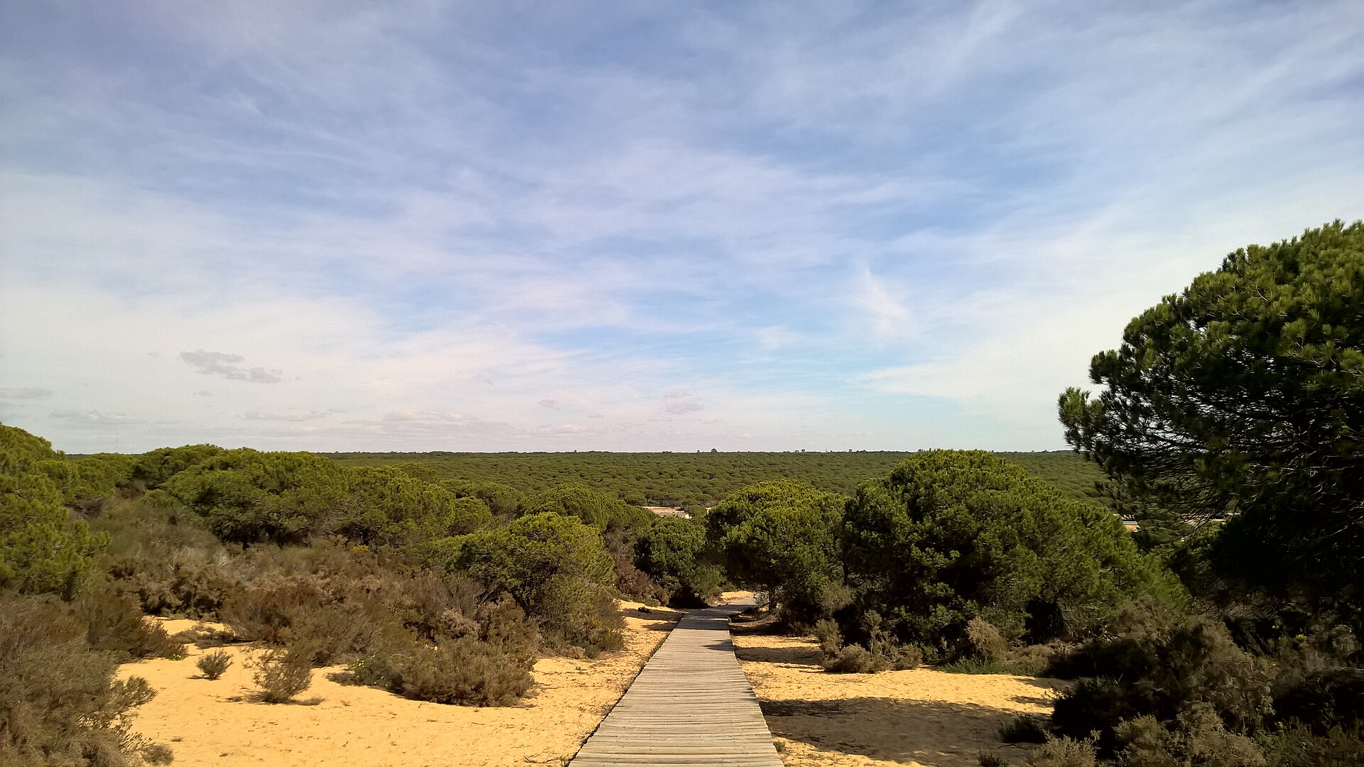
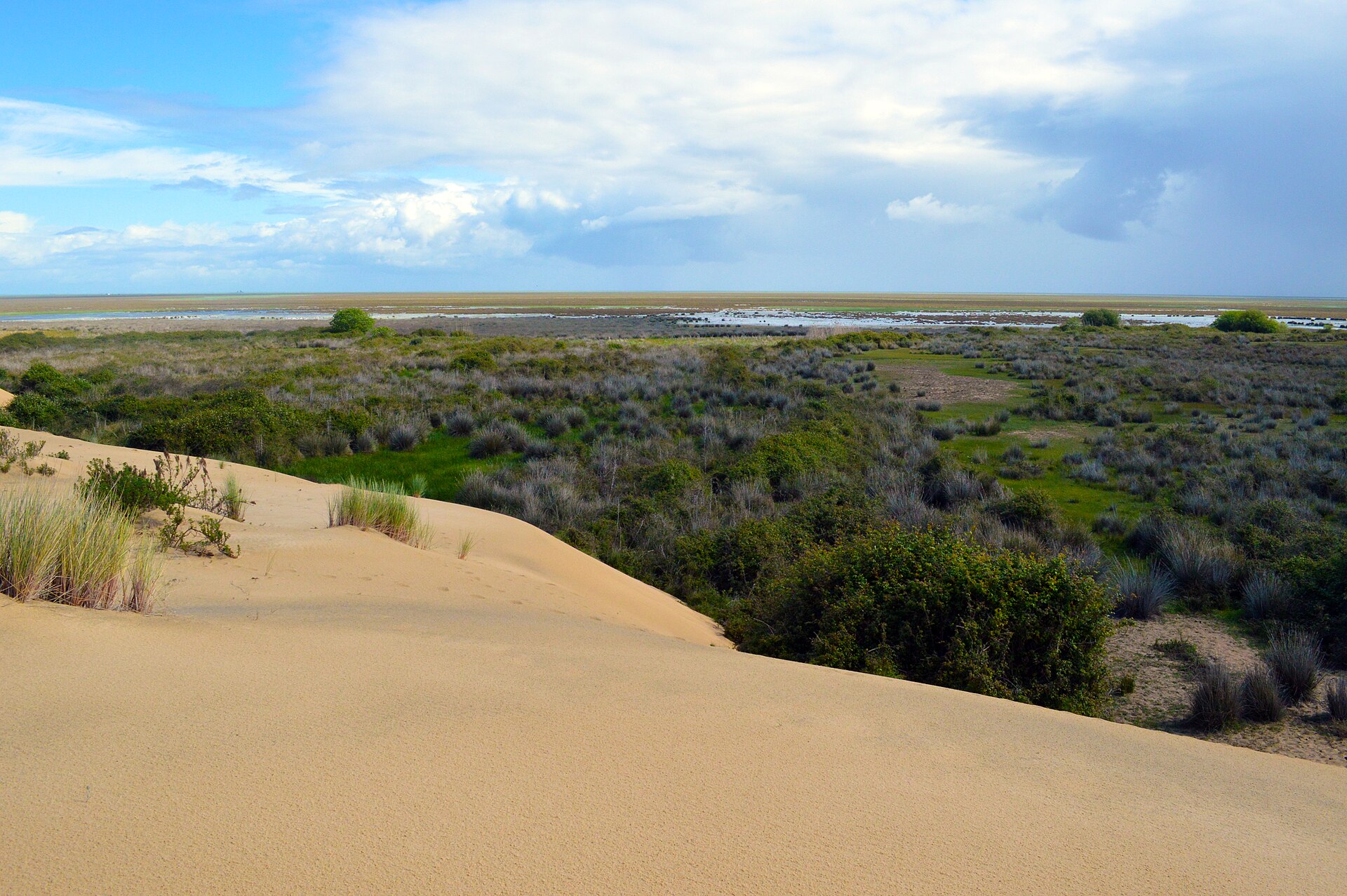
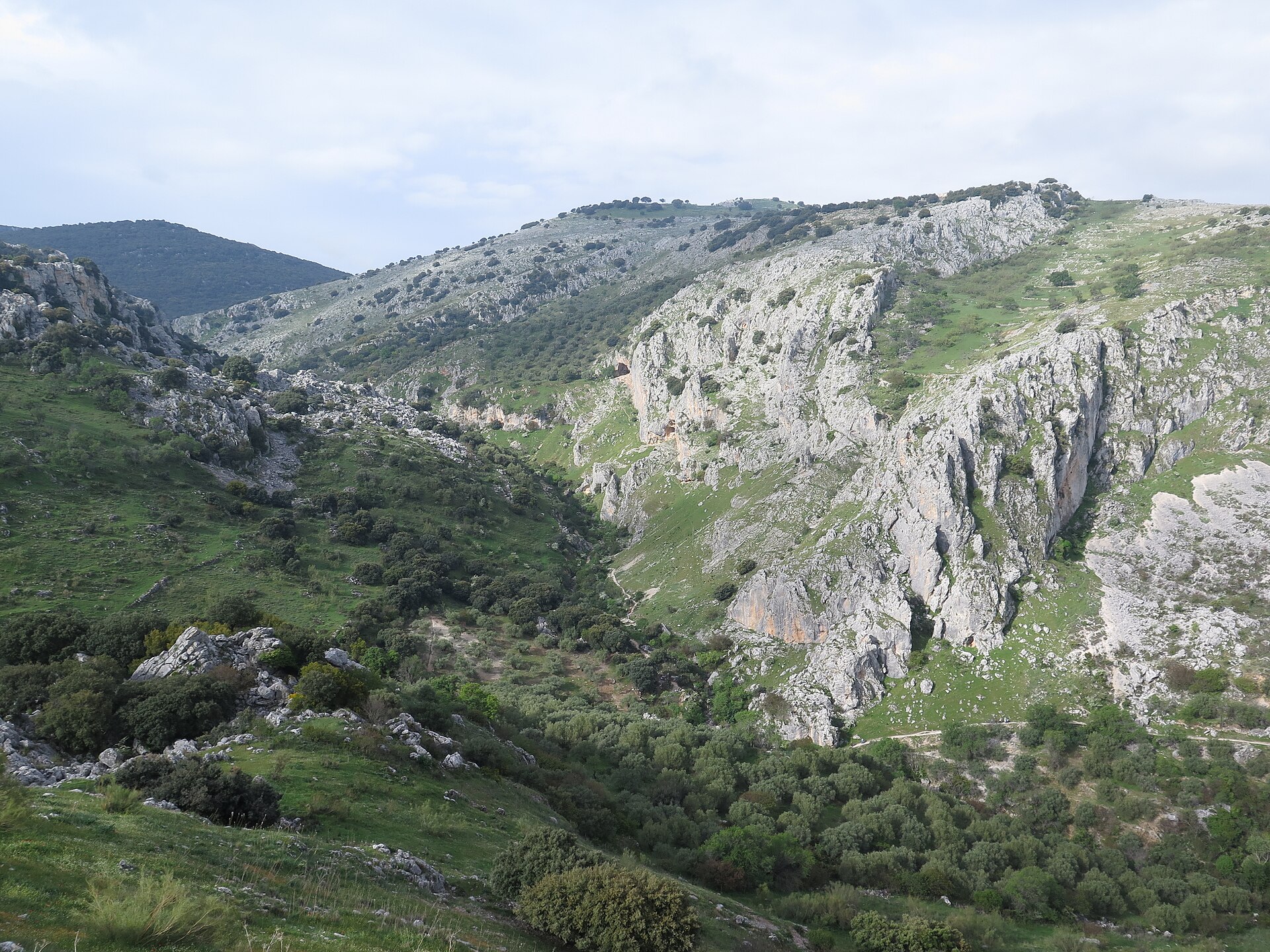
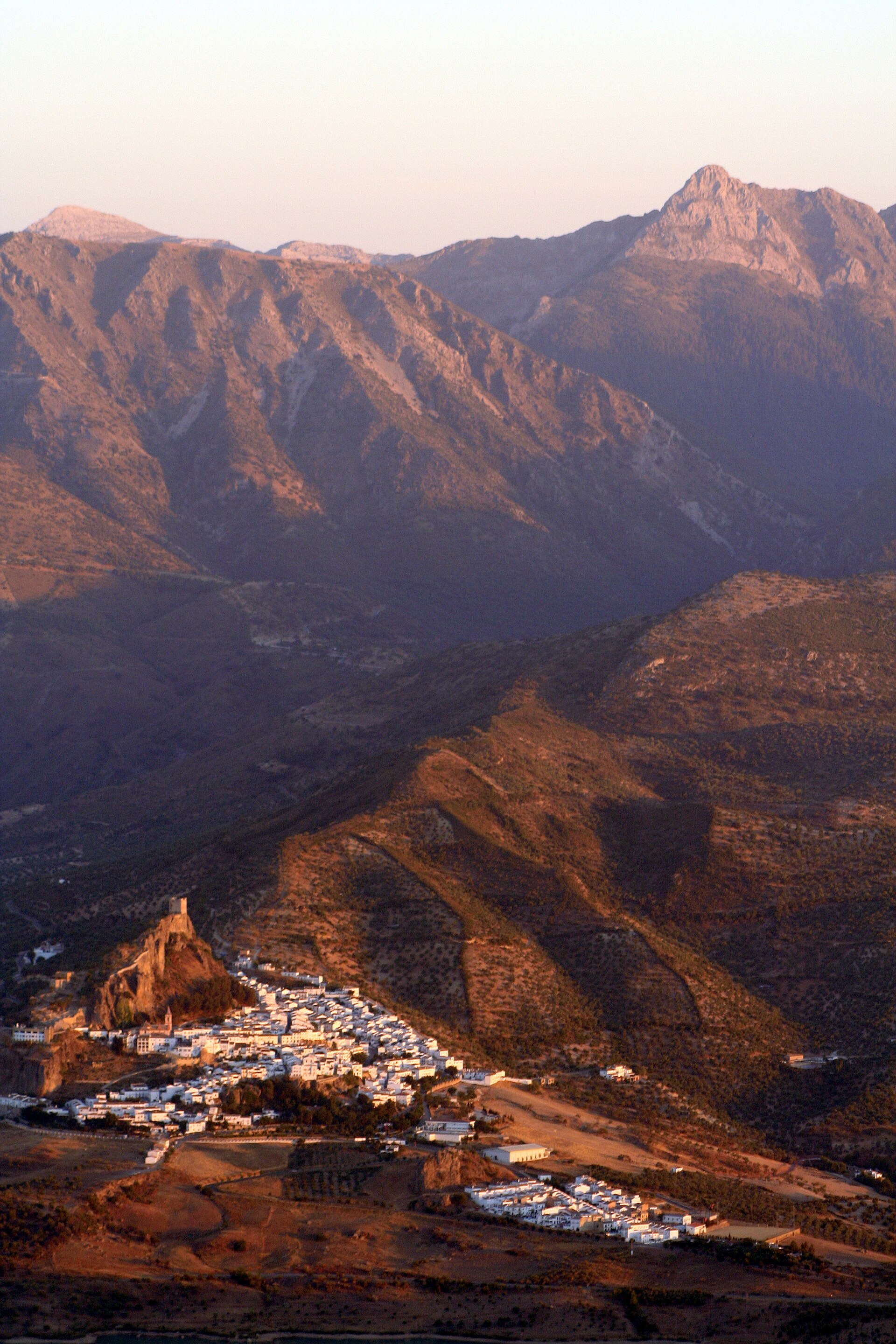
A terrestrial area, with forests and mountains.
What rocks lie beneath Sierra de Grazalema Natural Park?
According to the European 1:1 million geological map (EGDI), the bedrock consists mainly of dolomites (56% of sampled points), sandstones (19%) and marly limestones (13%). These are mostly sedimentary rocks. The geological units date mainly from the Cretaceous (38% of sampled points).
What is the highest point of Sierra de Grazalema Natural Park?
El Torreón, at 1,648 m (OpenStreetMap).
What are the main summits of Sierra de Grazalema Natural Park?
El Torreón (1,648 m), Pico mellizo (1,628 m), Pico del Águila (1,622 m), Cerro del Simancón (1,566 m) and San Cristóbal (1,554 m) (OpenStreetMap).
Which international labels apply to Sierra de Grazalema Natural Park?
UNESCO Biosphere Reserve and Natura 2000 network (2 sites).
When is the best time to visit Sierra de Grazalema Natural Park?
Best time to visit: from May to October, with average temperatures of 13 to 22 °C and moderate rainfall.
What is there to see in Sierra de Grazalema Natural Park?
2 waterfalls, 4 lakes and ponds and 6 caves, including Cascada del Mitano, Laguna del Perezoso, Complejo Hundidero-Gato and Chorrero (Wikidata).
Where can I stay in Sierra de Grazalema Natural Park?
2 mountain huts, including Refugio del Puerto del Correo and Refugio de los Pinsapos (Wikidata).
Are there historic monuments in Sierra de Grazalema Natural Park?
Yes. According to Wikidata, 17 monuments listed as Bien de Interés Cultural stand within the boundary. For example: “Iglesia de Santa María de la Mesa (Zahara)” in Zahara de la Sierra, “Castillo de Aznalmara” in Benaocaz and “Barrio Nazarí” in Benaocaz.
Can you swim in Sierra de Grazalema Natural Park?
One monitored bathing site lies in or within 1 km of the site; official 2025 classification: 1 poor (European Environment Agency). Swimming is only permitted at the sites and times authorised locally.
What is the nearest large city to Sierra de Grazalema Natural Park?
Nearest towns of over 50,000 people, as the crow flies: Cádiz (70 km) and Málaga (70 km). Nearest airport: Jerez (XRY), about 47 km away.
How can I reach Sierra de Grazalema Natural Park by train?
Jimera de Líbar railway station lies within the site.
Where can I get visitor information on site?
Centro de Información Turistica, Oficina de información de Grazalema and Oficina de Turismo.
Are there waymarked hiking trails in Sierra de Grazalema Natural Park?
Yes. Waymarked hiking routes listed in OpenStreetMap: 14, including GR 249, GR 7 (192 km), Via Serrana and Ronda. The GR 7 · Andalucía (Province of Cádiz) route runs for about 33 km through the site, with some 740 m of ascent on its longest section.
Which species can be seen in Sierra de Grazalema Natural Park?
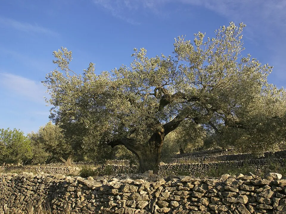
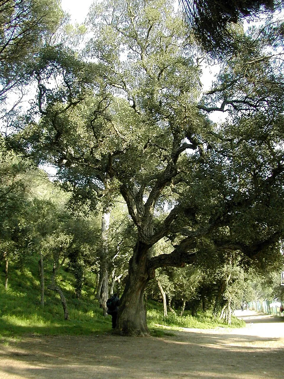
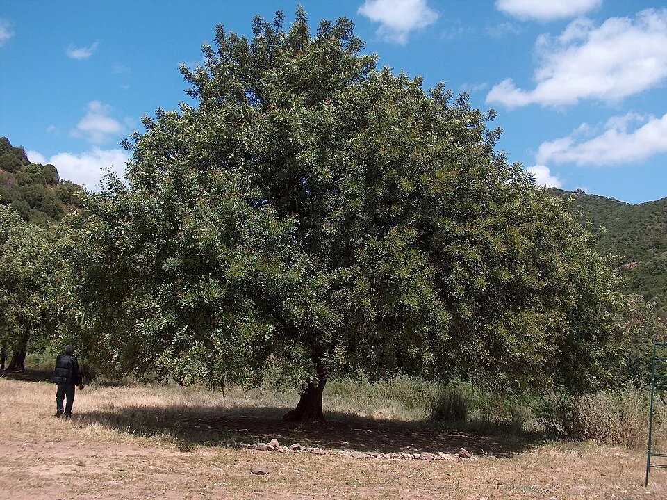
Among the species most often recorded on GBIF are Quercus rotundifolia (Ballota oak), Quercus faginea (Portuguese Oak), Olea europaea (Olive) and Quercus suber (Cork oak).
What is the official website of Sierra de Grazalema Natural Park?
juntadeandalucia.es/medioambiente/servtc5/ventana/mostrarFicha.do?idEspacio=7411
© OpenStreetMap
Download the boundary: GeoJSON · GPX Boundary © OpenStreetMap contributors (ODbL).
Geography
The representative point of the site lies at around 1,205 m above sea level. Over the 1996–2025 period, the mean annual temperature is about 12.5 °C and total precipitation reaches roughly 815 mm per year. The warmest month is usually July, the coolest January, and the wettest December. According to the European 1:1 million geological map (EGDI), the bedrock consists mainly of dolomites (56% of sampled points), sandstones (19%) and marly limestones (13%). These are mostly sedimentary rocks. The geological units date mainly from the Cretaceous (38% of sampled points). The site contains one lake larger than 10 ha (Salina Ventas Nuevas), totalling 5.5 km² of water (HydroLAKES).
Area
- Area
- 53,411 ha
- Elevation
- 1,205 m
- Median elevation
- 742 m
- Mean slope
- 15°
- Lakes over 10 ha
- 1 (5.5 km²)
- Coordinates
- 36.73, -5.37
Terrain: Mapzen Terrain Tiles (SRTM, USGS) · Lakes: HydroLAKES (Messager et al. 2016, hydrosheds.org, CC BY 4.0) · depths: Wikidata (CC0)
Elevation bands
- below 500 m 25%
- 500–1,000 m 58%
- 1,000–1,500 m 17%
share of the site in each elevation band (smoothed terrain model: summits are rounded off) · Terrain: Mapzen Terrain Tiles (SRTM, USGS)
Bedrock
- Dolomites 56 %
- Sandstones 19 %
- Marly limestones 13 %
- Conglomerates and breccias 6 %
- Limestones 6 %
Sedimentary rocks 100 % · Main age: Cretaceous (38%)
Source: EGDI 1:1M geological map (EuroGeoSurveys and national geological surveys), CC BY 4.0 · 16 sampled points within the site.
Main summits
- El Torreón1,648 m
- Pico mellizo1,628 m
- Pico del Águila1,622 m
- Cerro del Simancón1,566 m
- San Cristóbal1,554 m
- Reloj1,535 m
- Pico del Descubrimiento1,492 m
- Corona de los Yedrales1,483 m
- Pico del Monete1,444 m
- Sierra de los Pinos1,395 m
Data © OpenStreetMap contributors (ODbL)
Climate
● Mean temperature (°C) · ▮ Precipitation (mm)
Source: Copernicus ERA5-Land (C3S, doi:10.24381/cds.68d2bb30), monthly averages 1996–2025 interpolated to the representative point, temperatures adjusted for elevation.
Contains modified Copernicus Climate Change Service information 2026. Neither the European Commission nor ECMWF is responsible for any use that may be made of the Copernicus information or data it contains.
Natural habitats
According to CORINE Land Cover (2018), the site is mainly made up of forests (36%), Mediterranean scrub (18%) and heath and scrub (16%). Woodland is mostly broadleaved. Elevation ranges from about 230 m to 1,648 m (highest point: El Torreón). Median elevation is 742 m, and 17% of the site lies above 1,000 m (SRTM elevation model). The terrain is steep: 43% of slopes exceed 15° (mean slope 15°). The 2 Natura 2000 sites overlapping the area list 22 habitats of European interest (3 priority), the most extensive being dehesas with evergreen Quercus spp, Quercus ilex and Quercus rotundifolia forests and Quercus suber forests.
Biodiversity
Based on occurrences aggregated by GBIF, several species are regularly recorded within the site. Among the most frequent are Quercus rotundifolia (Ballota oak), Quercus faginea (Portuguese Oak), Olea europaea (Olive) and Quercus suber (Cork oak). The full list of documented taxa is shown below. The overlapping Natura 2000 sites list 74 species of European interest: 46 birds, 12 mammals, 2 reptiles, 1 amphibian, 3 fish, 5 invertebrates and 5 plants.
Habitats of European interest
From the official forms of the 2 Natura 2000 sites overlapping the area (areas reported for each whole site).
- Dehesas with evergreen Quercus spp. 13,089 ha
- Quercus ilex and Quercus rotundifolia forests 3,007 ha
- Quercus suber forests 2,613 ha
- Calcareous rocky slopes with chasmophytic vegetation 1,259 ha
- Quercus faginea and Quercus canariensis Iberian woods 1,130 ha
- Endemic oro-Mediterranean heaths with gorse 848 ha
- Olea and Ceratonia forests 787 ha
- Arborescent matorral with Juniperus spp. 691 ha
and 14 more
Species of European interest
Birds · 46
Eurasian Goshawk (Accipiter gentilis) resident, Common Kingfisher (Alcedo atthis) resident, Tawny Pipit (Anthus campestris) breeding, Water Pipit (Anthus spinoletta) wintering, White-rumped Swift (Apus caffer) breeding, Spanish Imperial Eagle (Aquila adalberti) passage, Golden Eagle (Aquila chrysaetos) resident, Bonelli's Eagle (Aquila fasciata) resident, Eurasian Eagle-owl (Bubo bubo) resident, Common Buzzard (Buteo buteo) resident, European Nightjar (Caprimulgus europaeus) passage, Red-necked Nightjar (Caprimulgus ruficollis) breeding and 34 more
Mammals · 12
Eurasian otter (Lutra lutra), Common bent-wing bat (Miniopterus schreibersii), Bechstein's bat (Myotis bechsteinii), Lesser mouse-eared myotis (Myotis blythii), Geoffroy's bat (Myotis emarginatus), Escalera’s Bat (Myotis escalerai), Greater mouse-eared bat (Myotis myotis), Lesser noctule (Nyctalus leisleri), Mediterranean Horseshoe Bat (Rhinolophus euryale), Greater Horseshoe Bat (Rhinolophus ferrumequinum), Lesser horseshoe bat (Rhinolophus hipposideros), Mehely's Horseshoe Bat (Rhinolophus mehelyi)
Reptiles · 2
European Pond Turtle (Emys orbicularis), Iberian pond turtle (Mauremys leprosa)
Amphibians · 1
Fish · 3
Lamprehuela (Cobitis paludica), Iberian nase (Pseudochondrostoma polylepis), Nase (Pseudochondrostoma willkommii)
Invertebrates · 5
White-clawed Crayfish (Austropotamobius pallipes), Marsh fritillary (Euphydryas aurinia), Pronged clubtail (Gomphus graslinii), Splendid Cruiser (Macromia splendens), Orange-spotted Emerald (Oxygastra curtisii)
Plants · 5
Andalusian Belladonna (Atropa baetica), Hymenostemma pseudanthemis, Narcissus cavanillesii, Narcissus fernandesii, Summer lady's-tresses (Spiranthes aestivalis)
Source: Natura 2000 standard data forms (EEA, CC-BY 4.0). Not exhaustive: sensitive species are not published.
Species to look out for

Plant
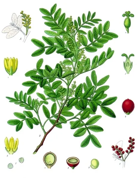
Mastic Tree
Pistacia lentiscus4,090 records © Franz Eugen Köhler, Köhler's Medizinal-Pflanzen · Public domain
Observed species
Occurrences documented via GBIF; they are neither an exhaustive inventory nor proof of current presence.
- Ballota oak · Quercus rotundifolia · 28746
- Portuguese Oak · Quercus faginea · 9206
- Olive · Olea europaea · 8309
- Cork oak · Quercus suber · 7771
- St. John's Bread · Ceratonia siliqua · 6759
- Mastic Tree · Pistacia lentiscus · 4090
- Griffon Vulture · Gyps fulvus · 3788
- Small-flowered Gorse · Ulex parviflorus · 3645
- Spanish Marjoram · Thymus mastichina · 3480
- Grey-leaved Cistus · Cistus albidus · 3407
- Common Blackbird · Turdus merula · 2989
- Eurasian Chaffinch · Fringilla coelebs · 2989
+18 more species
- European Goldfinch · Carduelis carduelis · 2695
- Great tit · Parus major · 2571
- Eurasian blue tit · Cyanistes caeruleus · 2522
- Sardinian Warbler · Curruca melanocephala · 2424
- Ulex baeticus · 2360
- European robin · Erithacus rubecula · 2317
- European Stonechat · Saxicola rubicola · 2063
- Eurasian Blackcap · Sylvia atricapilla · 1984
- Algerian Oak · Quercus canariensis · 1950
- Black Redstart · Phoenicurus ochruros · 1904
- Spanish Fir · Abies pinsapo · 1868
- House Sparrow · Passer domesticus · 1788
- European Serin · Serinus serinus · 1747
- Red-billed Chough · Pyrrhocorax pyrrhocorax · 1738
- Montpelier cistus · Cistus monspeliensis · 1696
- Phoenician juniper · Juniperus phoenicea · 1651
- Short-toed Treecreeper · Certhia brachydactyla · 1618
- Eurasian Crag Martin · Ptyonoprogne rupestris · 1516
Records: GBIF.org (CC-BY). Names: Wikidata (CC0), GBIF. Photos: Wikimedia Commons.
Conservation challenges
The primary purpose of the site is to preserve its natural habitats and the biodiversity they support. The species recorded (Biodiversity tab) reflect its ecological value. The designations it holds frame its management and the control of land use.
According to Global Forest Change data (University of Maryland, Global Forest Watch), about 261 ha of tree cover were lost within the boundary between 2001 and 2023 (under 1% of its area), peaking in 2007. These losses include logging, storms and fires, and do not account for regrowth. According to the European CORINE Land Cover inventory (Copernicus), land cover changed on about 1,190 ha of the site between 1990 and 2018 (2% of its area): open water grew by 683 ha, mostly at the expense of open natural land, while open natural land shrank by 565 ha, mostly giving way to open water. Since 2016, the European EFFIS system (Copernicus) has mapped one fire here, in July 2026 (near Grazalema), which burned about 243 ha of the site. At night, 4% of the area gives off artificial light detectable from space (NASA VIIRS Black Marble composite, 2016). According to the Natura 2000 forms, of 18 assessed habitats of European interest, 3 are in excellent condition and 3 in average or reduced condition. According to the Water Framework Directive assessment (2022 river basin management plans, data 2014–2019), 88% of the 109 km of rivers assessed within the site are in good or high ecological status. Other assessed water bodies: lakes, 3 of 3 in good ecological status or better. Since 2000, 7 invasive alien species have been recorded within the site (GBIF observations), one of them listed as of Union concern under EU Regulation 1143/2014. Among them: Ailanthus altissima (Tree-of-heaven), Oxalis pes-caprae (Bermuda buttercup) and Agave americana (American century plant).
Pressure indicators
Tree cover lost
261 ha
2001–2023 · < 1% of the area
20012023
Fires since 2016
243 ha
burned within the boundary (1 mapped fire)
- 2026 · Grazalema · 243 ha
Light at night
4%
of the area gives off artificial light visible from space
DarkLit
Built-up land
< 1%
buildings, business areas, roads, quarries · farmland 13%
Land cover change
1,190 ha
changed cover, 1990–2018 · CORINE · 2% of the area
- +683 ha · water bodies
- −565 ha · open natural land
Rivers and lakes
88%
of the 109 km of assessed rivers in good or high ecological status · WFD 2022
Lakes: 3 of 3 good or better
assessments 2014–2019
Invasive alien species
7
incl. 1 of EU concern · since 2000
 Tree-of-heavenEU
 Bermuda buttercup
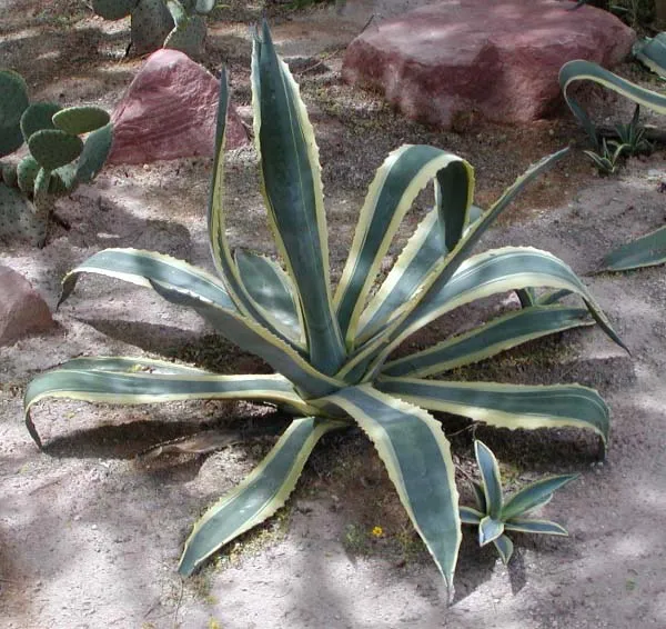 American century plant
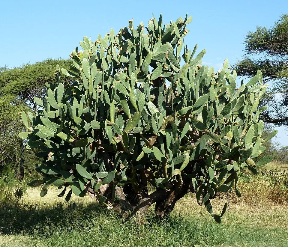 Tuna Cactus
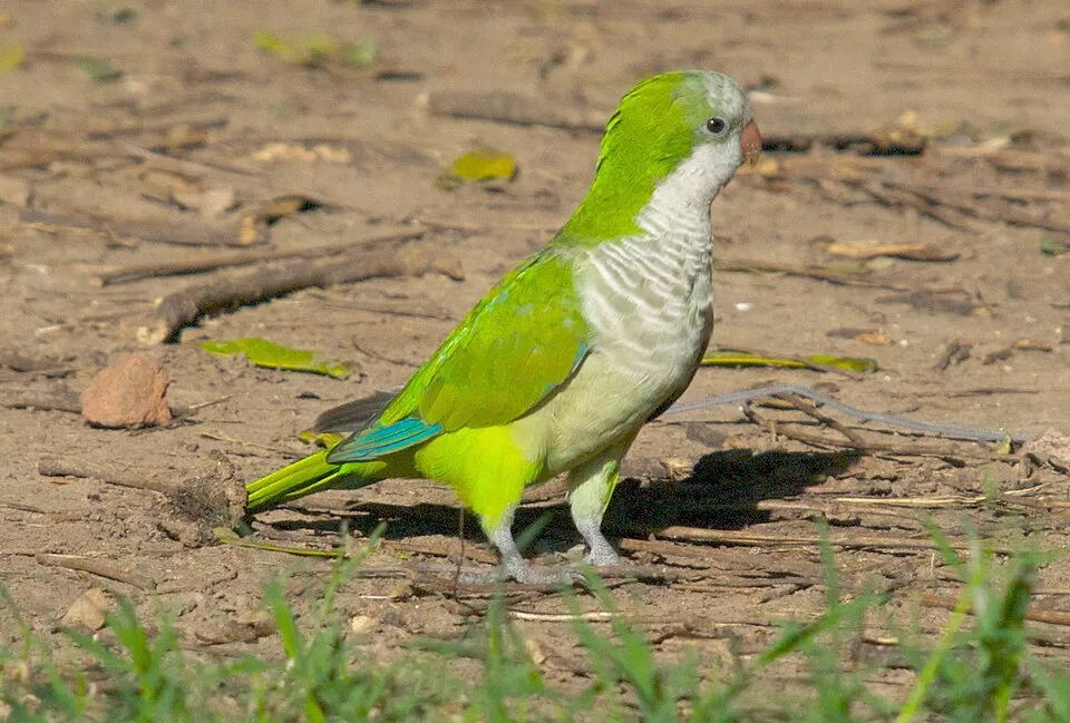 Monk Parakeet
 Oceanblue Morning Glory
 Small-leaf spiderwort
Photos: Tree-of-heaven © Darkone · CC BY-SA 2.5; Bermuda buttercup © MathKnight and Zachi Evenor אביר המתמטיקה וצחי אבנור · CC BY-SA 4.0; American century plant © Stan Shebs · CC BY-SA 3.0; Tuna Cactus © JMK · CC BY-SA 3.0; Monk Parakeet © Kevin Jones · CC BY 2.0; Oceanblue Morning Glory © Paulo rsmenezes · CC BY-SA 3.0; Small-leaf spiderwort © Enrique Dans from Madrid, Spain · CC BY 2.0
Sources: Global Forest Change (Hansen et al., University of Maryland, via Global Forest Watch, CC-BY 4.0); EFFIS, European Commission / Copernicus; NASA Black Marble 2016 (public domain); CORINE Land Cover 2018 (Copernicus) or MODIS.
CORINE Land Cover Change 1990–2018: generated using European Union's Copernicus Land Monitoring Service information (EEA), aggregated by Parkavela; DOI 10.2909/f30f1000-7cf8-43bb-872c-5eb093911b24.
Ecological status of water bodies: European Environment Agency, WISE – Water Framework Directive, 3rd river basin management plans (2022), CC BY 4.0. Official national classification, not comparable between countries.
Invasive alien species: Global Register of Introduced and Invasive Species (ISSG, CC BY 4.0); Union list, Regulation (EU) 1143/2014 (INBO, CC0); GBIF.org records (CC0 / CC BY 4.0), at least 2 per species.
Practical information
Cities and airport
- Cádiz
70 km as the crow flies - Málaga
70 km as the crow flies - Airport: Jerez (XRY)
47 km as the crow flies
Visitor information
- Centro de Información Turistica
within the site - Oficina de información de Grazalema
within the site - Oficina de Turismo
within the site - Información Turística
within the site
Things to see
2 waterfalls · 4 lakes and ponds · 6 caves
- Cascada del Mitano
waterfall - Laguna del Perezoso
lake or pond - Complejo Hundidero-Gato
cave - Chorrero
waterfall - Lagunilla de Los Membrillos
lake or pond
Where to stay
2 mountain huts
- Refugio del Puerto del Correo
mountain hut - Refugio de los Pinsapos
mountain hut
Hiking
14 waymarked routes listed, including:
GR 249GR 7 (192 km)Via SerranaRondaMontejaqueEstación de Jimera de Líbar
By bike
+ 5 local loops
Signed cycle routes: this does not mean that cycling is allowed on footpaths.
Data © OpenStreetMap contributors (ODbL) · Wikidata (CC0)
Routes © OpenStreetMap contributors (ODbL), via Waymarked Trails
Waymarked hiking routes
GR 7 Andalucía (Province of Cádiz)
33.2 km within the site ↗ 739 m↘ 1,087 m 342–1,027 m
PR-A 251 Ronda - Montejaque
4.2 km within the site ↗ 121 m↘ 282 m 491–749 m
up to T1 · hiking
PR-A 252 Montejaque - Cortes de la Frontera
17.2 km within the site ↗ 517 m↘ 536 m 686–1,085 m
Tracks © OpenStreetMap contributors (ODbL), clipped to the boundary; elevation gain and profiles computed on the longest section from Mapzen Terrain Tiles (≈ 30 m), indicative only. Indicative difficulty (SAC scale, OpenStreetMap, via Waymarked Trails): check with the park.
Bathing
1 monitored bathing site in or within 1 km of the site · 2025 classification
Poor · 1
- Rio Arroyomolinos Zahara Pm1 · lake · Poor
Source: European Environment Agency, official bathing water classification (Directive 2006/7/EC, CC-BY 4.0). Swimming is only permitted at the sites and times authorised locally.
Access and visiting
Jimera de Líbar railway station lies within the site. Nearest towns of over 50,000 people, as the crow flies: Cádiz (70 km) and Málaga (70 km). Nearest airport: Jerez (XRY), about 47 km away. About 130,000 people live within 20 km of the site boundary, 72,000 of them within 10 km; some 20,000 people are estimated to live inside (GHSL estimate, 2020). This population has grown by about 11% since 2000. Visitor information on site: Centro de Información Turistica, Oficina de información de Grazalema and Oficina de Turismo. Waymarked hiking routes listed in OpenStreetMap: 14, including GR 249, GR 7 (192 km), Via Serrana and Ronda. To see: 2 waterfalls, 4 lakes and ponds and 6 caves, including Cascada del Mitano, Laguna del Perezoso, Complejo Hundidero-Gato and Chorrero. Where to stay: 2 mountain huts, including Refugio del Puerto del Correo and Refugio de los Pinsapos. To plan a visit (access, opening periods, visitor rules), it is best to consult the official information from the managing body and the official website listed in this page's sources.
Source: OpenStreetMap (ODbL), Wikidata (CC0), October 2026.
Built heritage
According to Wikidata, 17 monuments listed as Bien de Interés Cultural stand within the boundary. Among them are 7 prehistoric and archaeological sites, 5 castles and fortifications and 1 house or civic building. Examples include “Iglesia de Santa María de la Mesa (Zahara)” in Zahara de la Sierra, “Castillo de Aznalmara” in Benaocaz and “Barrio Nazarí” in Benaocaz.
7 prehistoric and archaeological sites5 castles and fortifications1 house or civic building1 religious building
-
Iglesia de Santa María de la Mesa (Zahara)
Zahara de la Sierra -
Castillo de Aznalmara
Benaocaz -
Barrio Nazarí
Benaocaz -
Cueva VR15
Villaluenga del Rosario -
Centro Histórico de Benaocaz
Benaocaz -
Castillo de Fátima
Ubrique -
Cueva de la Pileta
Benaoján -
Centro Histórico de Grazalema
Grazalema
and 9 more
Source: Wikidata (CC0), monuments in each country’s official heritage protection registers, at national or regional level. Each item links to its Wikidata entry.
When to visit
Best time to visit: from May to October, with average temperatures of 13 to 22 °C and moderate rainfall. Precipitation peaks in December (up to 130 mm per month). These averages apply to the site's representative point (1,205 m); higher up it is markedly cooler. Day length ranges from about 9 h 39 min in December to 14 h 40 min in June. Wildlife records published on GBIF peak for birds (April and May), plants (April and May), butterflies and moths (May), dragonflies (June) and mammals (April and May). These peaks also reflect when observers are most active.
Source: Copernicus ERA5-Land (C3S), monthly averages 1996–2025 at the representative point, temperatures adjusted for elevation.
Contains modified Copernicus Climate Change Service information 2026. Neither the European Commission nor ECMWF is responsible for any use that may be made of the Copernicus information or data it contains.
Wildlife records calendar
JFMAMJJASOND
Birds
Plants
Butterflies & moths
Dragonflies
Mammals
Monthly records published on GBIF (CC-BY), relative to the busiest month; also reflects observer activity.
Gallery
© Bocaleones · Public domain
© El Pantera · CC BY-SA 4.0
© Baldomorejon · CC BY-SA 3.0
© Olga González Casquet · CC BY-SA 4.0
© El Pantera · CC BY-SA 4.0
© Davidruiz91 · CC BY-SA 4.0
Sources and licences
- Wikidata: Q1755037
- OpenStreetMap: relation 19391694
- Official website: http://www.juntadeandalucia.es/medioambiente/servtc5/ventana/mostrarFicha.do?idEspacio=7411
- Wikipedia: en.wikipedia.org/wiki/Sierra_de_Grazalema_Natural_Park
- Natura 2000: ES0000031
- WDPA: 349468
References
- cds.climate.copernicus.eu: climate · CC-BY-4.0
- registry.opendata.aws: elevation of the reference point, detailed relief · PD
- land.copernicus.eu: land cover, land cover change, sea share · COPERNICUS
- doi.org: population around the site · CC-BY-4.0
- wikidata.org: official area, establishment date, protected heritage, official name, nearby cities and airport, access and peaks, lake depths, places to see, official website · CC0-1.0
- eea.europa.eu: bathing water quality, ecological status of waters · CC-BY-4.0
- en.eurovelo.com: EuroVelo cycle routes · ODbL-1.0
- cycling.waymarkedtrails.org: cycle routes · ODbL-1.0
- opentopodata.org: elevations · PD
- forest-fire.emergency.copernicus.eu: wildfires · COPERNICUS
- globalforestwatch.org: tree cover loss · CC-BY-4.0
- gbif.org: seasonality of sightings, invasive alien species, observed species · CC-BY-4.0
- europe-geology.eu: geology · CC-BY-4.0
- hydrosheds.org: lakes · CC-BY-4.0
- natura2000.eea.europa.eu: Natura 2000 habitats and species · CC-BY-4.0
- earthobservatory.nasa.gov: night light · PD
- openstreetmap.org: access and peaks · ODbL-1.0
- hiking.waymarkedtrails.org: route difficulty · ODbL-1.0
- nsidc.org: snow cover · PD
- wikidata.org: Wikipedia article · CC-BY-SA-4.0
Data © OpenStreetMap contributors (ODbL), Wikidata (CC0) and the sources cited.