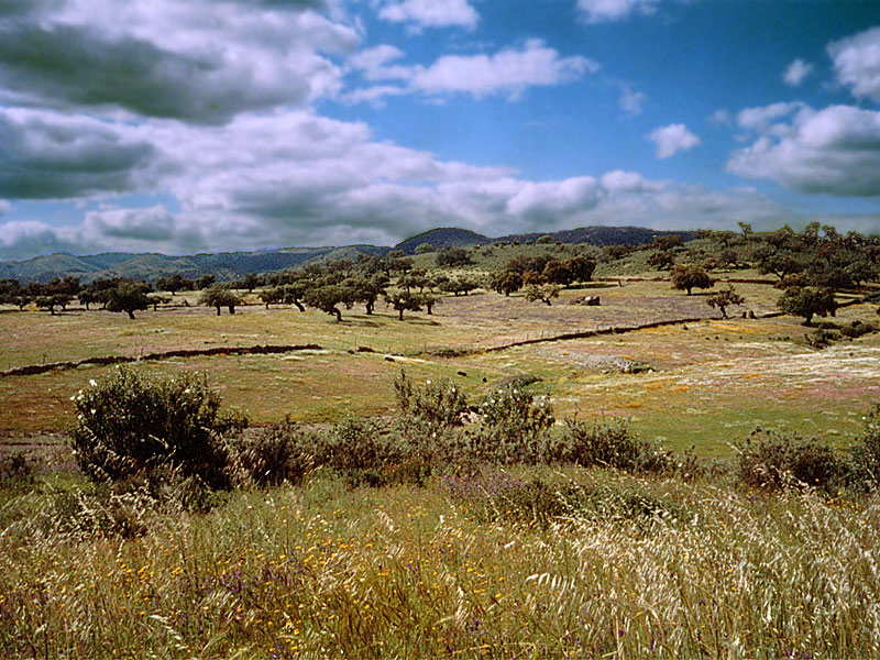
Spain · Mixed
Bahía de Cádiz Natural Park
Nature park of 10,522 hectares in Spain, established in 1989.
Overview
Nature park of 10,522 hectares in Spain, established in 1989.
Bahía de Cádiz Natural Park is a nature park in Spain (Europe). It covers both land and sea. Established in 1989, it covers about 10,522 hectares.
Protections and designations
Ramsar site
Natura 2000 · habitats (SAC)
- Bahía de Cádiz ES0000140
Natura 2000 · birds (SPA)
- Bahía de Cádiz ES0000140
Protected as a nature park. International labels and designations: Ramsar site and Natura 2000 network (1 site: “Bahía de Cádiz”). Key dates: established in 1989, first Natura 2000 site under the Birds Directive in 1993, Ramsar Site in 2002 and first Natura 2000 site under the Habitats Directive in 2012.
In our collections
Timeline
-
1989
Established
-
1993
First Natura 2000 site under the Birds Directive
-
2002
Ramsar Site (wetland of international importance) Bahía de Cádiz Natural Park
-
2012
First Natura 2000 site under the Habitats Directive
Sources: Wikidata (CC0) for establishment and international labels; EEA Natura 2000 database (CC-BY 4.0) for site designation dates.
Frequently asked questions
Where is Bahía de Cádiz Natural Park?
In Spain (Europe). Representative point: 36.4732° N, 6.1700° W.
How large is Bahía de Cádiz Natural Park?
About 10,522 hectares (105 km²). It is the 40th largest of the 73 nature parks in Spain covered by Parkavela. About 1,600 ha are at sea.
When was Bahía de Cádiz Natural Park established?
In 1989.
What habitats and landscapes does Bahía de Cádiz Natural Park include?
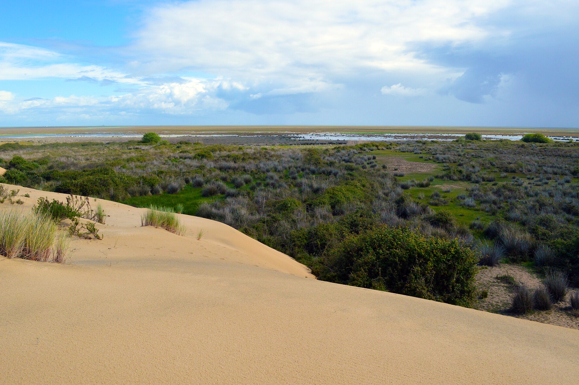
An area spanning land and sea, with wetlands and coasts.
What rocks lie beneath Bahía de Cádiz Natural Park?
According to the European 1:1 million geological map (EGDI), the bedrock consists mainly of sands and gravels (75% of sampled points) and limestones (17%). These are mostly sedimentary rocks. The geological units date mainly from the Quaternary (75% of sampled points).
Which international labels apply to Bahía de Cádiz Natural Park?
Ramsar site and Natura 2000 network (1 site: “Bahía de Cádiz”).
When is the best time to visit Bahía de Cádiz Natural Park?
Best time to visit: from April to June, with average temperatures of 16 to 23 °C and moderate rainfall.
What is there to see in Bahía de Cádiz Natural Park?
2 lakes and ponds, including Perezoso del Cortijo De La Vega and Laguna Hipersalina del Pinar De La Algaida (Wikidata).
Are there historic monuments in Bahía de Cádiz Natural Park?
Yes. According to Wikidata, 3 monuments listed as Bien de Interés Cultural stand within the boundary. For example: “Batería de Aspiroz” in San Fernando, “Batería de San Genís” in San Fernando and “Batería de Urrutia” in San Fernando.
Can you swim in Bahía de Cádiz Natural Park?
7 monitored bathing sites lie in or within 1 km of the site; official 2025 classification: 7 excellent (European Environment Agency). Swimming is only permitted at the sites and times authorised locally.
What is the nearest large city to Bahía de Cádiz Natural Park?
Nearest towns of over 50,000 people, as the crow flies: Cádiz (4 km) and Seville (87 km). Nearest airport: Jerez (XRY), about 17 km away.
How can I reach Bahía de Cádiz Natural Park by train?
The nearest railway station is Río Arillo, less than 1 km from the site boundary.
Where can I get visitor information on site?
Centro de Visitas de Los Toruños, Oficina de Turismo and Oficina de información.
Are there waymarked hiking trails in Bahía de Cádiz Natural Park?
Yes. Waymarked hiking routes listed in OpenStreetMap: 5, including Vía Augusta de Cádiz a Sevilla and Camino de Santiago del Estrecho.
Which species can be seen in Bahía de Cádiz Natural Park?
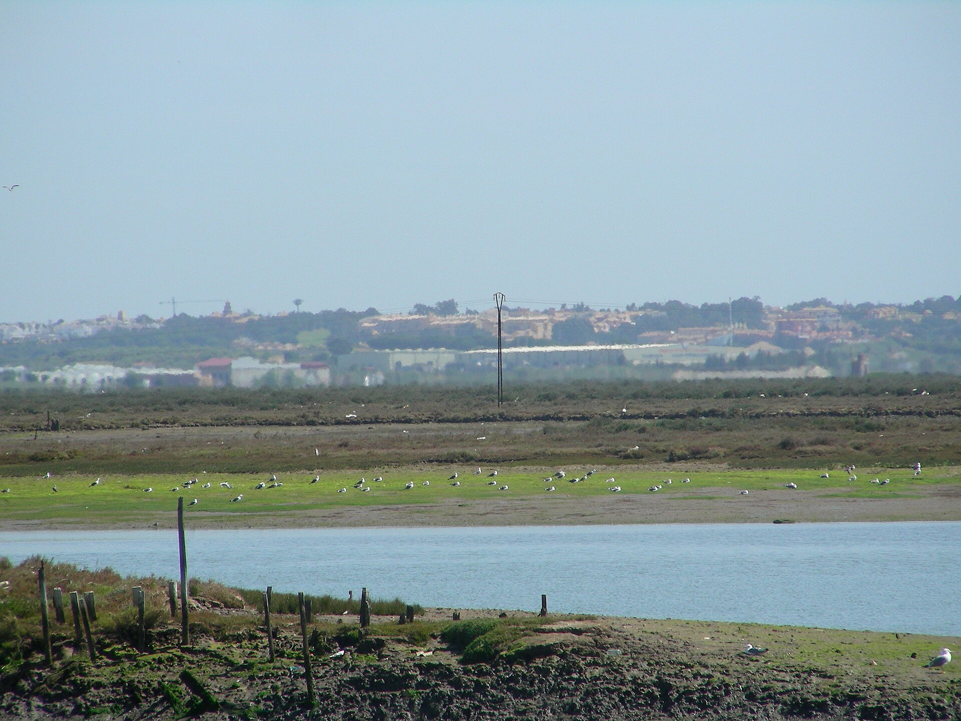
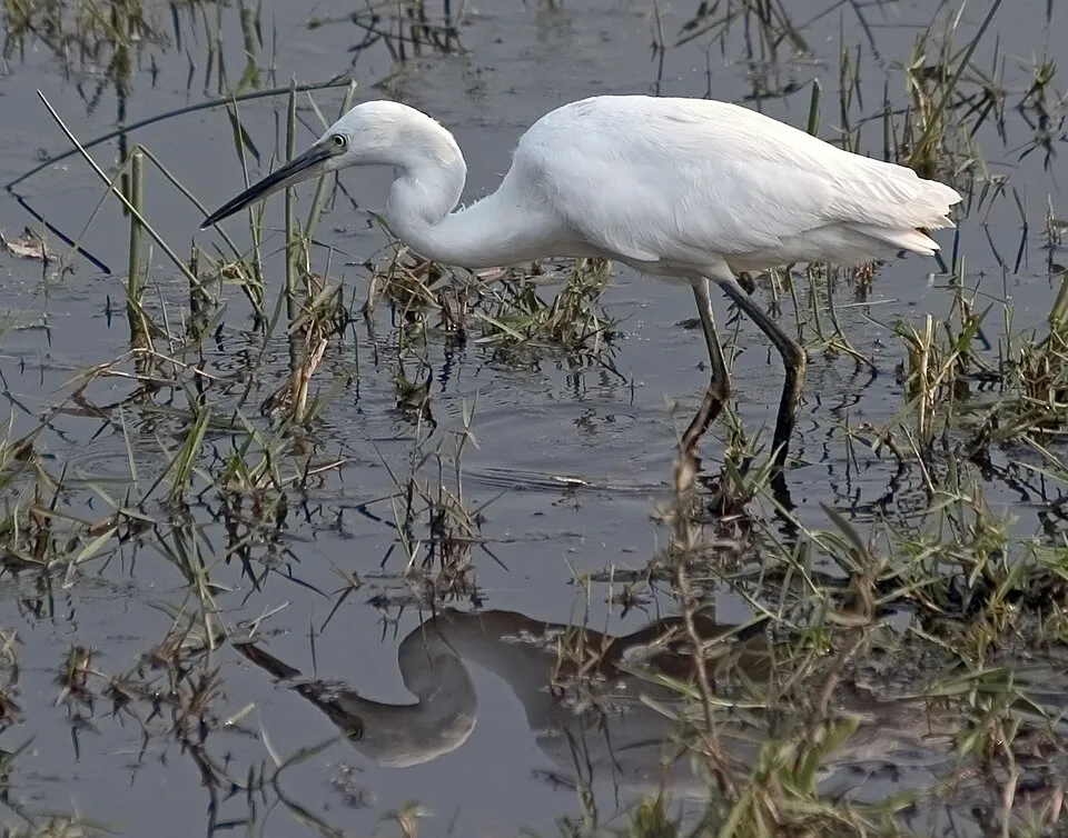
Among the species most often recorded on GBIF are Larus michahellis (Yellow-legged Gull), Larus fuscus (Lesser Black-backed Gull), Egretta garzetta (Little Egret) and Himantopus himantopus (Black-winged Stilt).
© OpenStreetMap
Download the boundary: GeoJSON · GPX Boundary © OpenStreetMap contributors (ODbL).
Geography
The representative point of the site lies at around 5 m above sea level. Over the 1996–2025 period, the mean annual temperature is about 18.5 °C and total precipitation reaches roughly 595 mm per year. The warmest month is usually August, the coolest January, and the wettest December. According to the European 1:1 million geological map (EGDI), the bedrock consists mainly of sands and gravels (75% of sampled points) and limestones (17%). These are mostly sedimentary rocks. The geological units date mainly from the Quaternary (75% of sampled points).
Area
- Area
- 10,522 ha
- Elevation
- 5 m
- Coordinates
- 36.4732, -6.17
Bedrock
- Sands and gravels 75 %
- Limestones 17 %
- Conglomerates and breccias 8 %
Sedimentary rocks 100 % · Main age: Quaternary (75%)
Source: EGDI 1:1M geological map (EuroGeoSurveys and national geological surveys), CC BY 4.0 · 12 sampled points within the site.
Climate
● Mean temperature (°C) · ▮ Precipitation (mm)
Source: Copernicus ERA5-Land (C3S, doi:10.24381/cds.68d2bb30), monthly averages 1996–2025 interpolated to the representative point, temperatures adjusted for elevation.
Contains modified Copernicus Climate Change Service information 2026. Neither the European Commission nor ECMWF is responsible for any use that may be made of the Copernicus information or data it contains.
Natural habitats
According to CORINE Land Cover (2018), the land area is mainly made up of salt marshes and salt pans (88%). The sea covers about 15% of the site. The land is almost flat (mean slope under 2°). The Natura 2000 site overlapping the area lists 18 habitats of European interest (5 priority), the most extensive being mudflats and sandflats not covered by seawater at low tide, Mediterranean and thermo-Atlantic halophilous scrubs (Sarcocornetea fruticosi) and large shallow inlets and bays.
Biodiversity
Based on occurrences aggregated by GBIF, several species are regularly recorded within the site. Among the most frequent are Larus michahellis (Yellow-legged Gull), Larus fuscus (Lesser Black-backed Gull), Egretta garzetta (Little Egret) and Himantopus himantopus (Black-winged Stilt). The full list of documented taxa is shown below. The overlapping Natura 2000 site lists 117 species of European interest: 99 birds, 4 mammals, 4 reptiles, 4 amphibians, 3 fish and 3 plants.
Habitats of European interest
From the official form of the Natura 2000 site overlapping the area (areas reported for the whole site).
- Mudflats and sandflats not covered by seawater at low tide 5,293 ha
- Mediterranean and thermo-Atlantic halophilous scrubs (Sarcocornetea fruticosi) 3,535 ha
- Large shallow inlets and bays 1,597 ha
- Estuaries 650 ha
- Coastal lagoons priority 618 ha
- Sandbanks which are slightly covered by sea water all the time 248 ha
- Spartina swards (Spartinion maritimae) 111 ha
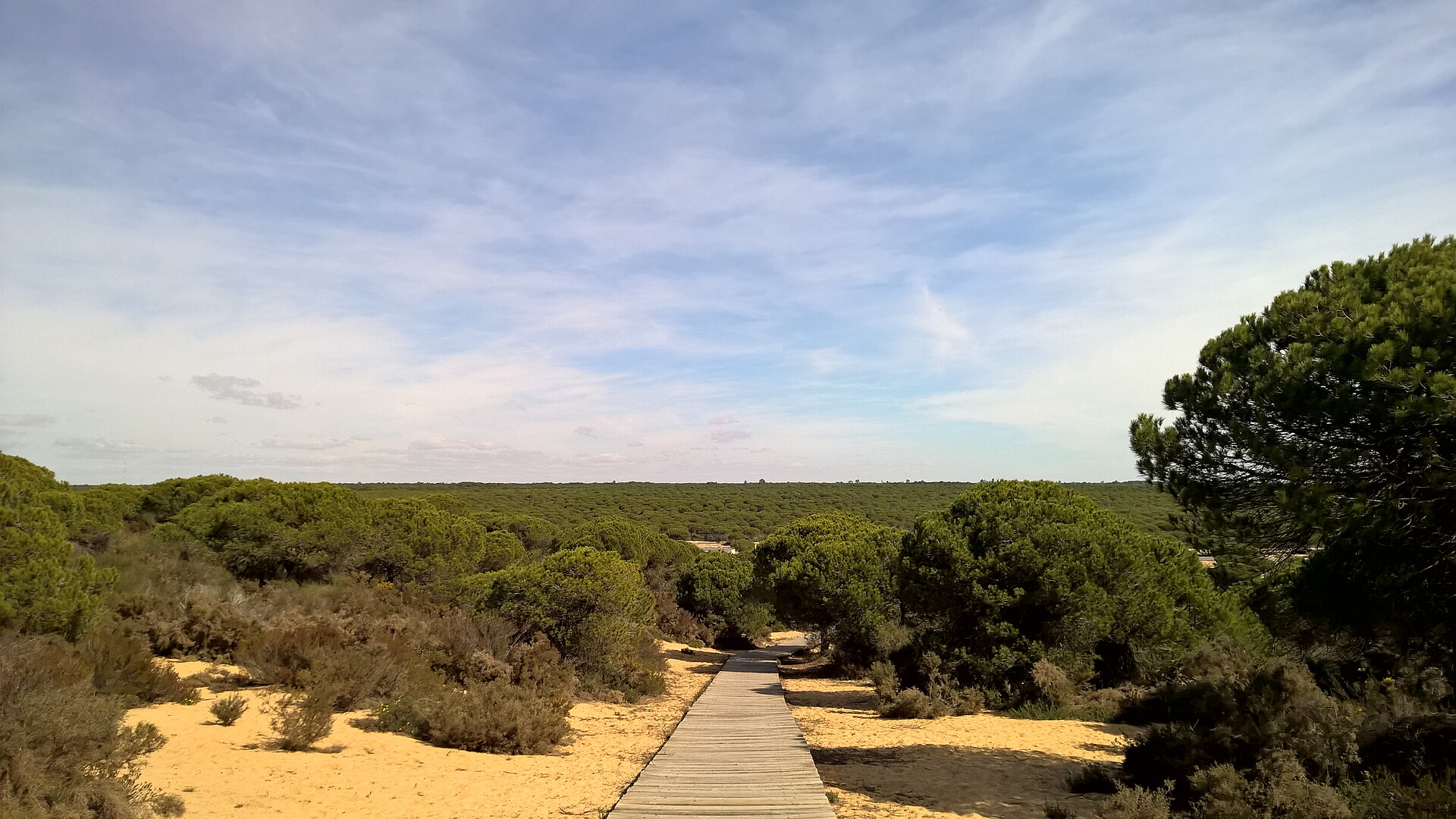
- Wooded dunes with Pinus pinea and/or Pinus pinaster priority 63 ha
and 10 more
Species of European interest
Birds · 99
Common Sandpiper (Actitis hypoleucos) wintering, Razorbill (Alca torda) passage, Common Kingfisher (Alcedo atthis) wintering, Northern Pintail (Anas acuta) wintering, Eurasian Teal (Anas crecca) wintering, Mallard (Anas platyrhynchos) breeding wintering, Greylag Goose (Anser anser) wintering, Great Egret (Ardea alba) wintering, Grey Heron (Ardea cinerea) wintering, Purple Heron (Ardea purpurea) breeding, Squacco Heron (Ardeola ralloides) wintering, Ruddy Turnstone (Arenaria interpres) passage wintering and 87 more
Mammals · 4
Risso's Dolphin (Grampus griseus), Eurasian otter (Lutra lutra), Striped dolphin (Stenella coeruleoalba), Common bottlenose dolphin (Tursiops truncatus)
Reptiles · 4
Loggerhead sea turtle (Caretta caretta), Common chameleon (Chamaeleo chamaeleon), European Pond Turtle (Emys orbicularis), Iberian pond turtle (Mauremys leprosa)
Amphibians · 4
Iberian painted frog (Discoglossus galganoi), Natterjack toad (Epidalea calamita), Western Spadefoot (Pelobates cultripes), Perez's Frog (Pelophylax perezi)
Fish · 3
Lamprehuela (Cobitis paludica), Sea lamprey (Petromyzon marinus), Nase (Pseudochondrostoma willkommii)
Plants · 3
Limonium lanceolatum, Green-flowered Narcissus (Narcissus viridiflorus), Orobanche densiflora
Source: Natura 2000 standard data forms (EEA, CC-BY 4.0). Not exhaustive: sensitive species are not published.
Species to look out for

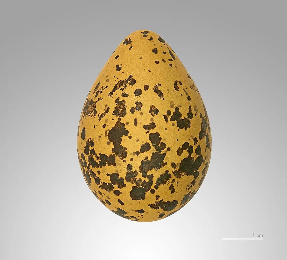
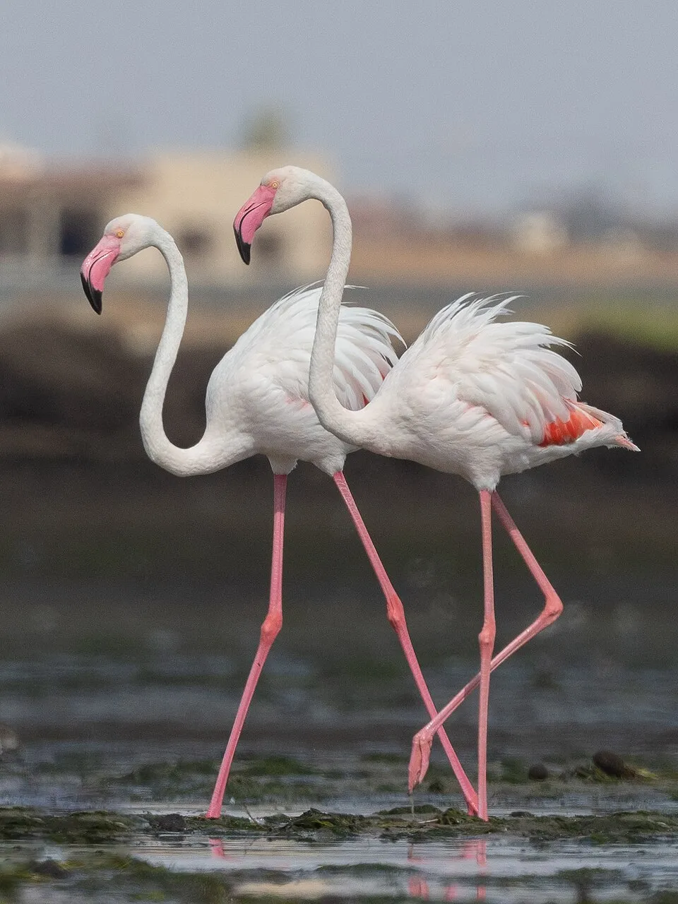
Observed species
Occurrences documented via GBIF; they are neither an exhaustive inventory nor proof of current presence.
- Yellow-legged Gull · Larus michahellis · 36765
- Lesser Black-backed Gull · Larus fuscus · 5862
- Little Egret · Egretta garzetta · 2227
- Black-winged Stilt · Himantopus himantopus · 2170
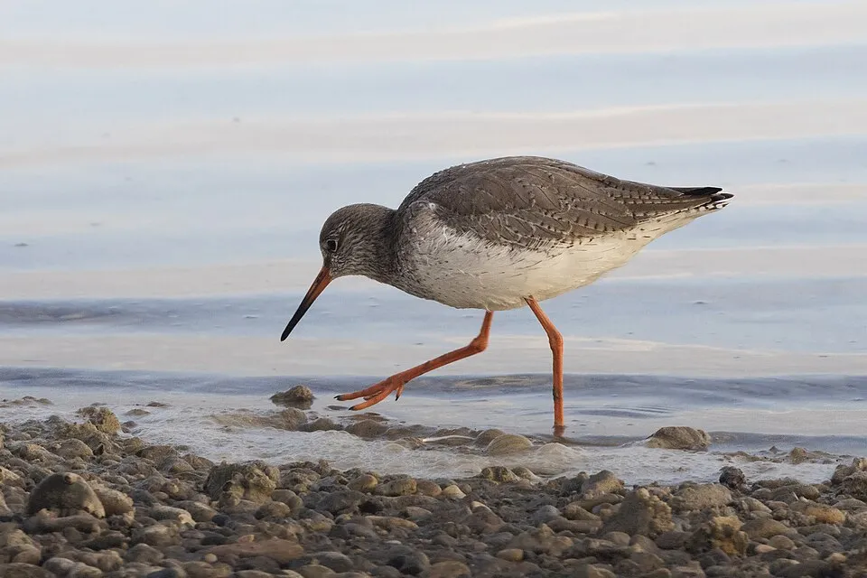
- Common Redshank · Tringa totanus · 1946
- Greater Flamingo · Phoenicopterus roseus · 1923
- Common Ringed Plover · Charadrius hiaticula · 1800
- Dunlin · Calidris alpina · 1784
- Sardinian Warbler · Curruca melanocephala · 1730
- Kentish Plover · Charadrius alexandrinus · 1645
- Black-headed Gull · Chroicocephalus ridibundus · 1493
- Eurasian Spoonbill · Platalea leucorodia · 1389
+18 more species
- Grey Plover · Pluvialis squatarola · 1372
- Grey Heron · Ardea cinerea · 1330
- Mallard · Anas platyrhynchos · 1308
- House Sparrow · Passer domesticus · 1301
- Eurasian Whimbrel · Numenius phaeopus · 1292
- Pied Avocet · Recurvirostra avosetta · 1287
- Crested Lark · Galerida cristata · 1281
- Eurasian Magpie · Pica pica · 1277
- Great Cormorant · Phalacrocorax carbo · 1268
- Ruddy Turnstone · Arenaria interpres · 1257
- Common Sandpiper · Actitis hypoleucos · 1251
- Sandwich Tern · Thalasseus sandvicensis · 1196
- Barn Swallow · Hirundo rustica · 1168
- Little Tern · Sternula albifrons · 1130
- Slender-billed Gull · Chroicocephalus genei · 1119
- Zitting Cisticola · Cisticola juncidis · 1115
- Common Greenshank · Tringa nebularia · 992
- Caspian Tern · Hydroprogne caspia · 954
Records: GBIF.org (CC-BY). Names: Wikidata (CC0), GBIF. Photos: Wikimedia Commons.
Conservation challenges
The primary purpose of the site is to preserve its natural habitats and the biodiversity they support. The species recorded (Biodiversity tab) reflect its ecological value. The designations it holds frame its management and the control of land use.
According to the European CORINE Land Cover inventory (Copernicus), land cover changed on about 39 ha of the site between 1990 and 2018 (under 1% of its area): built-up land grew by 39 ha, mostly at the expense of open natural land, while open natural land shrank by 39 ha, mostly giving way to built-up land. Since 2016, the European EFFIS system (Copernicus) has mapped one fire here, in August 2023 (near Puerto Real), which burned about 40 ha of the site. At night, 99% of the area gives off artificial light detectable from space (NASA VIIRS Black Marble composite, 2016). Built-up and developed land (buildings, business areas, roads, quarries) covers 3% of the area (CORINE Land Cover). According to the Natura 2000 forms, of 13 assessed habitats of European interest, 6 are in excellent condition and 2 in average or reduced condition. According to the Water Framework Directive assessment (2022 river basin management plans, data 2016–2020), water bodies assessed within the site: lagoons and estuaries, 0 of 4 in good ecological status or better; coastal waters, 3 of 3 in good ecological status or better. Since 2000, 6 invasive alien species have been recorded within the site (GBIF observations). Among them: Oxalis pes-caprae (Bermuda buttercup), Nicotiana glauca (Tree tobacco) and Myiopsitta monachus (Monk Parakeet).
Pressure indicators
Tree cover lost
7 ha
2001–2023 · < 1% of the area
20012023
Fires since 2016
40 ha
burned within the boundary (1 mapped fire)
- 2023 · Puerto Real · 40 ha
Light at night
99%
of the area gives off artificial light visible from space
DarkLit
Built-up land
3%
buildings, business areas, roads, quarries
Land cover change
39 ha
changed cover, 1990–2018 · CORINE · < 1% of the area
- +39 ha · built-up land
- −39 ha · open natural land
Rivers and lakes
Lagoons and estuaries: 0 of 4 good or better
Coastal waters: 3 of 3 good or better
assessments 2016–2020
Invasive alien species
6
recorded since 2000
 Bermuda buttercup
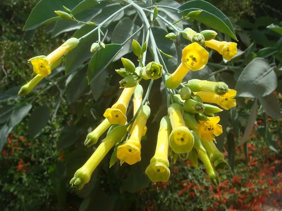 Tree tobacco
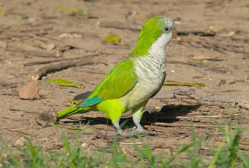 Monk Parakeet
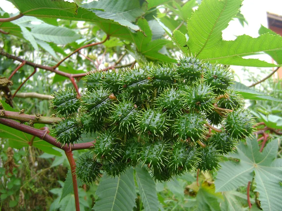 Castor oil plant
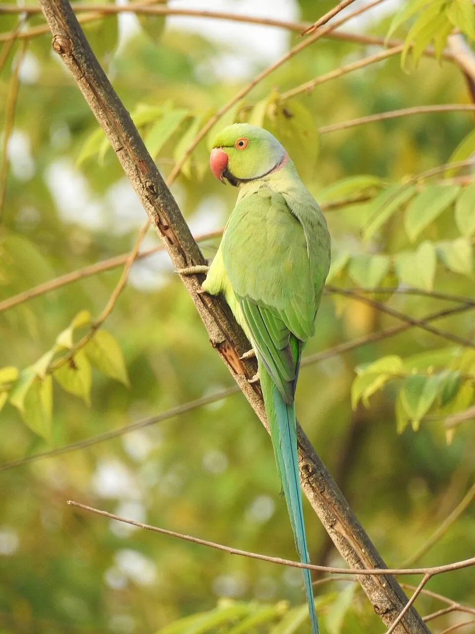 Rose-ringed Parakeet
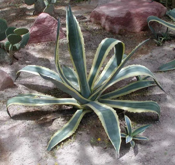 American century plant
Photos: Bermuda buttercup © MathKnight and Zachi Evenor אביר המתמטיקה וצחי אבנור · CC BY-SA 4.0; Tree tobacco © Miwasatoshi · CC BY-SA 4.0; Monk Parakeet © Kevin Jones · CC BY 2.0; Castor oil plant © Onjacktallcuca · Public domain; Rose-ringed Parakeet © Afsarnayakkan · CC BY 3.0; American century plant © Stan Shebs · CC BY-SA 3.0
Sources: Global Forest Change (Hansen et al., University of Maryland, via Global Forest Watch, CC-BY 4.0); EFFIS, European Commission / Copernicus; NASA Black Marble 2016 (public domain); CORINE Land Cover 2018 (Copernicus) or MODIS.
CORINE Land Cover Change 1990–2018: generated using European Union's Copernicus Land Monitoring Service information (EEA), aggregated by Parkavela; DOI 10.2909/f30f1000-7cf8-43bb-872c-5eb093911b24.
Ecological status of water bodies: European Environment Agency, WISE – Water Framework Directive, 3rd river basin management plans (2022), CC BY 4.0. Official national classification, not comparable between countries.
Invasive alien species: Global Register of Introduced and Invasive Species (ISSG, CC BY 4.0); Union list, Regulation (EU) 1143/2014 (INBO, CC0); GBIF.org records (CC0 / CC BY 4.0), at least 2 per species.
Practical information
Cities and airport
- Cádiz
4 km as the crow flies - Seville
87 km as the crow flies - Airport: Jerez (XRY)
17 km as the crow flies
Visitor information
- Centro de Visitas de Los Toruños
within the site - Oficina de Turismo
< 1 km from the site boundary - Oficina de información
< 1 km from the site boundary - Oficina Municipal de Turismo
1 km from the site boundary
Things to see
2 lakes and ponds
- Perezoso del Cortijo De La Vega
lake or pond - Laguna Hipersalina del Pinar De La Algaida
lake or pond
Hiking
5 waymarked routes listed, including:
Vía Augusta de Cádiz a SevillaCamino de Santiago del Estrecho
By bike
EV8 · 16 km Vía Verde Puerto Real - San Fernando · 4 kmVía Verde de Matagorda · 3 km
Signed cycle routes: this does not mean that cycling is allowed on footpaths.
Wheelchair access
Reported by OpenStreetMap contributors (ODbL); check with the park before visiting.
Data © OpenStreetMap contributors (ODbL) · Wikidata (CC0)
Contains information from EuroVelo GPX tracks downloaded from www.EuroVelo.com on 2026-10-22, which is made available here under the Open Database License (ODbL). EuroVelo® is a registered trademark of the ECF. Routes © OpenStreetMap contributors (ODbL), via Waymarked Trails
Bathing
7 monitored bathing sites in or within 1 km of the site · 2025 classification
Excellent · 7
- Playa Camposoto Pm1 · sea · Excellent
- Playa Camposoto Pm2 · sea · Excellent
- Playa de Levante Pm1 · sea · Excellent
- Playa la Cachucha Pm1 · estuary or lagoon · Excellent
- Playa Rio San Pedro Pm1 · estuary or lagoon · Excellent
- Playa Sancti Petri Pm1 · estuary or lagoon · Excellent
- Playa Valdelagrana Pm1 · sea · Excellent
Source: European Environment Agency, official bathing water classification (Directive 2006/7/EC, CC-BY 4.0). Swimming is only permitted at the sites and times authorised locally.
Access and visiting
The nearest railway station is Río Arillo, less than 1 km from the site boundary. Nearest towns of over 50,000 people, as the crow flies: Cádiz (4 km) and Seville (87 km). Nearest airport: Jerez (XRY), about 17 km away. About 670,000 people live within 20 km of the site boundary, 500,000 of them within 10 km; some 18,000 people are estimated to live inside (GHSL estimate, 2020). This population has grown by about 8% since 2000. Visitor information on site: Centro de Visitas de Los Toruños, Oficina de Turismo and Oficina de información. Waymarked hiking routes listed in OpenStreetMap: 5, including Vía Augusta de Cádiz a Sevilla and Camino de Santiago del Estrecho. The EuroVelo 8 cycle route (Mediterranean Route) crosses the site for about 16 km, mostly developed and signed; 2 other signed cycle routes also pass through: “Vía Verde Puerto Real - San Fernando” and “Vía Verde de Matagorda” (EuroVelo, OpenStreetMap). OpenStreetMap contributors list one wheelchair-accessible place: Puente del Río Arillo; check with the park before visiting. To see: 2 lakes and ponds, including Perezoso del Cortijo De La Vega and Laguna Hipersalina del Pinar De La Algaida. To plan a visit (access, opening periods, visitor rules), it is best to consult the official information from the managing body and the official website listed in this page's sources.
Source: OpenStreetMap (ODbL), Wikidata (CC0), October 2026.
Built heritage
According to Wikidata, 3 monuments listed as Bien de Interés Cultural stand within the boundary. Examples include “Batería de Aspiroz” in San Fernando, “Batería de San Genís” in San Fernando and “Batería de Urrutia” in San Fernando.
-
Batería de Aspiroz
San Fernando -
Batería de San Genís
San Fernando -
Batería de Urrutia
San Fernando
Source: Wikidata (CC0), monuments in each country’s official heritage protection registers, at national or regional level. Each item links to its Wikidata entry.
When to visit
Best time to visit: from April to June, with average temperatures of 16 to 23 °C and moderate rainfall. Precipitation peaks in December (up to 100 mm per month). Day length ranges from about 9 h 41 min in December to 14 h 38 min in June. Wildlife records published on GBIF peak for birds (April and May), plants (April), butterflies and moths (April and May), dragonflies (September and October) and mammals (April). These peaks also reflect when observers are most active.
Source: Copernicus ERA5-Land (C3S), monthly averages 1996–2025 at the representative point, temperatures adjusted for elevation.
Contains modified Copernicus Climate Change Service information 2026. Neither the European Commission nor ECMWF is responsible for any use that may be made of the Copernicus information or data it contains.
Wildlife records calendar
JFMAMJJASOND
Birds
Plants
Butterflies & moths
Dragonflies
Mammals
Monthly records published on GBIF (CC-BY), relative to the busiest month; also reflects observer activity.
Gallery
© Pablo Jones. Peejayem · CC BY-SA 3.0
© El Pantera · CC BY-SA 3.0
© Agustín Povedano from El Puerto de Santa María, Extremadura y Andalucía · CC BY 2.0
© Xemenendura · CC BY-SA 4.0
© El Pantera · CC BY-SA 2.5
© Gonzalo.chumillas · CC BY-SA 4.0
Sources and licences
- Wikidata: Q555461
- OpenStreetMap: relation 4568954
- Wikipedia: en.wikipedia.org/wiki/Bahía_de_Cádiz_Natural_Park
- Natura 2000: ES0000140
- WDPA: 142805
References
- cds.climate.copernicus.eu: climate · CC-BY-4.0
- registry.opendata.aws: elevation of the reference point, detailed relief · PD
- land.copernicus.eu: land cover, land cover change, sea share · COPERNICUS
- doi.org: population around the site · CC-BY-4.0
- wikidata.org: official area, establishment date, protected heritage, nearby cities and airport, access and peaks, lake depths, places to see · CC0-1.0
- eea.europa.eu: bathing water quality, ecological status of waters · CC-BY-4.0
- en.eurovelo.com: EuroVelo cycle routes · ODbL-1.0
- cycling.waymarkedtrails.org: cycle routes · ODbL-1.0
- opentopodata.org: elevations · PD
- forest-fire.emergency.copernicus.eu: wildfires · COPERNICUS
- globalforestwatch.org: tree cover loss · CC-BY-4.0
- gbif.org: seasonality of sightings, invasive alien species, observed species · CC-BY-4.0
- europe-geology.eu: geology · CC-BY-4.0
- hydrosheds.org: lakes · CC-BY-4.0
- natura2000.eea.europa.eu: Natura 2000 habitats and species · CC-BY-4.0
- openstreetmap.org: official name, access and peaks, trail difficulty, wheelchair access · ODbL-1.0
- earthobservatory.nasa.gov: night light · PD
- nsidc.org: snow cover · PD
- wikidata.org: Wikipedia article · CC-BY-SA-4.0
Data © OpenStreetMap contributors (ODbL), Wikidata (CC0) and the sources cited.