
Italy · Terrestrial
Sirente-Velino Regional Nature Park
Regional nature park of 54,361 hectares in Italy, established in 1989.
Overview
Regional nature park of 54,361 hectares in Italy, established in 1989.
Sirente-Velino Regional Nature Park is located in Italy (Europe). It is a predominantly terrestrial area. Established in 1989, it covers about 54,361 hectares.
Protections and designations
Natura 2000 · habitats (SAC) · 5 sites
- Colle del Rascito IT7110090
- Gole di San Venanzio IT7110096
- Monte Sirente e Monte Velino IT7110206
- Monti della Duchessa (area sommitale) IT6020020
- Serra e Gole di Celano - Val d'Arano IT7110075
Natura 2000 · birds (SPA)
- Sirente Velino IT7110130
Protected as a regional nature park. International labels and designations: Natura 2000 network (6 sites). Key dates: first Natura 2000 site under the Birds Directive in 1988 and established in 1989.
In our collections
Timeline
-
1988
First Natura 2000 site under the Birds Directive
-
1989
Established
Sources: Wikidata (CC0) for establishment and international labels; EEA Natura 2000 database (CC-BY 4.0) for site designation dates.
Frequently asked questions
Where is Sirente-Velino Regional Nature Park?
In Italy (Europe). Representative point: 42.2052° N, 13.5159° E.
How large is Sirente-Velino Regional Nature Park?
About 54,361 hectares (544 km²). It is the 7th largest of the 128 regional parks in Italy covered by Parkavela.
When was Sirente-Velino Regional Nature Park established?
In 1989.
What habitats and landscapes does Sirente-Velino Regional Nature Park include?
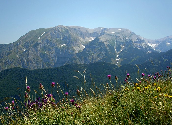
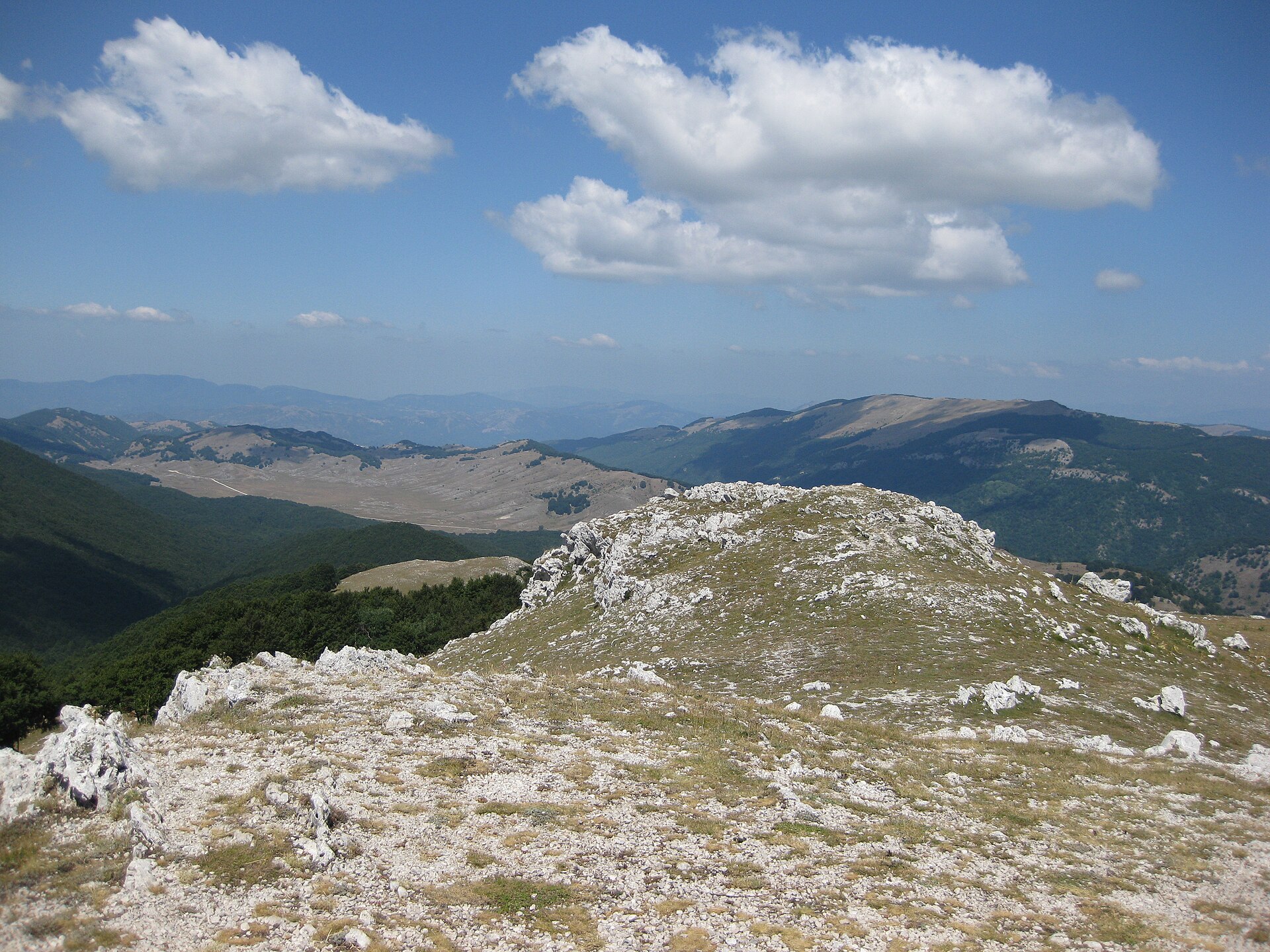
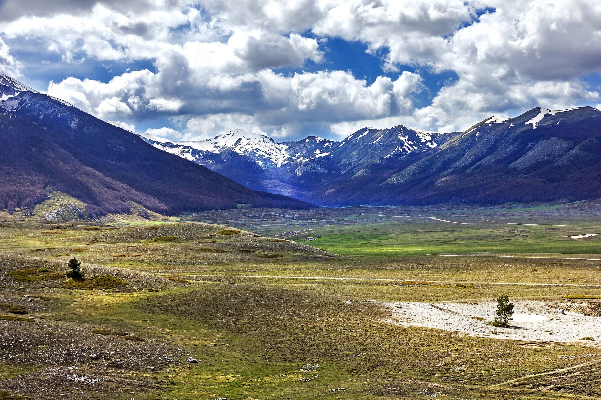
A terrestrial area, with forests and mountains.
What rocks lie beneath Sirente-Velino Regional Nature Park?
According to the European 1:1 million geological map (EGDI), the bedrock consists mainly of limestones (56% of sampled points), mudstones (25%) and sandstones (19%). These are mostly sedimentary rocks. The geological units date mainly from the Jurassic (44% of sampled points).
What is the highest point of Sirente-Velino Regional Nature Park?
Monte Velino, at 2,486 m (OpenStreetMap).
What are the main summits of Sirente-Velino Regional Nature Park?
Monte Velino (2,486 m), Monte Cafornia (2,424 m), Cima Avezzano (2,378 m), Monte di Sevice (2,355 m) and Monte Sirente (2,348 m) (OpenStreetMap).
Which international labels apply to Sirente-Velino Regional Nature Park?
Natura 2000 network (6 sites).
When is the best time to visit Sirente-Velino Regional Nature Park?
Best time to visit: from May to October, with average temperatures of 10 to 19 °C and moderate rainfall.
Is there snow in Sirente-Velino Regional Nature Park?
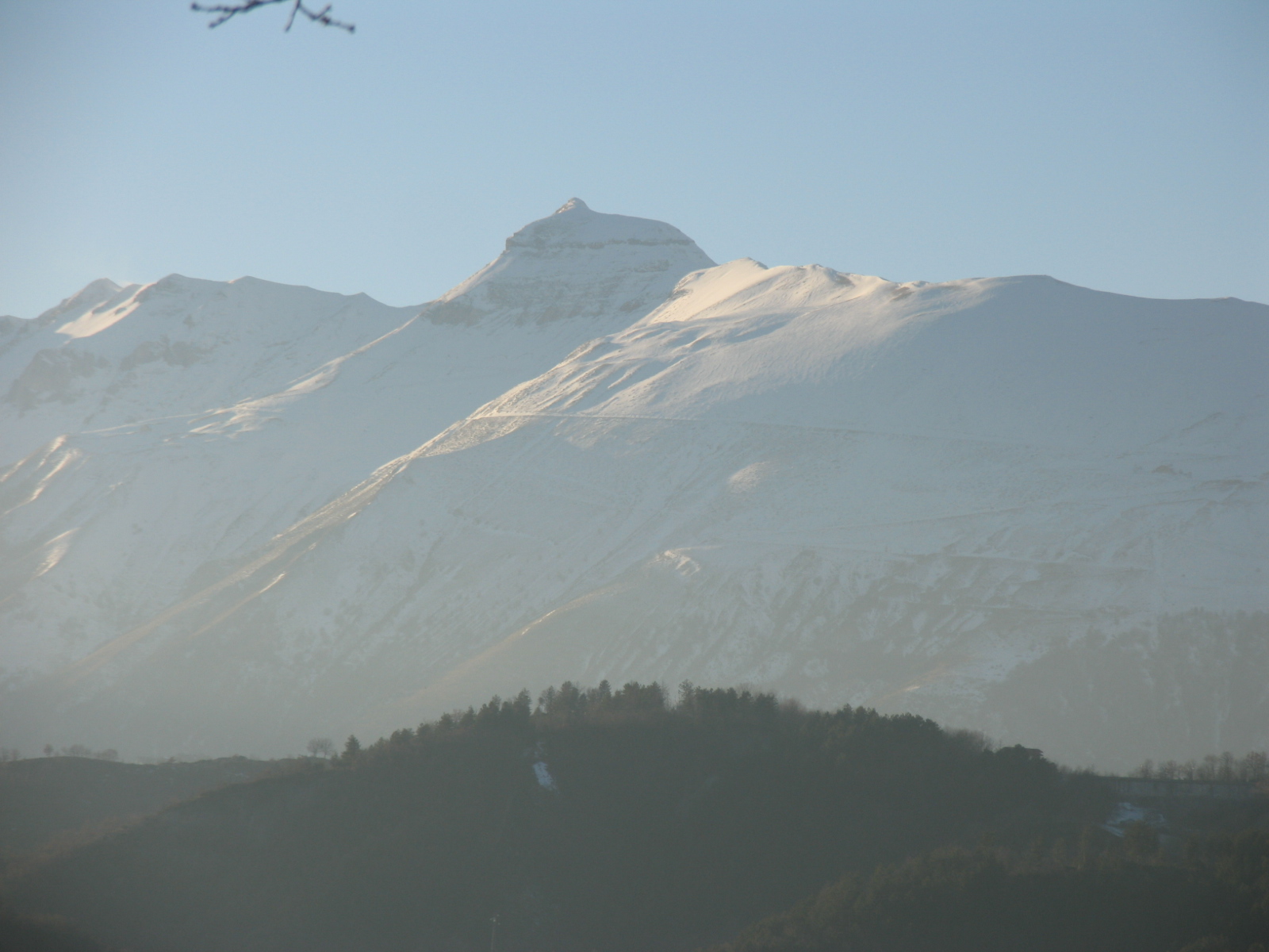
Yes. According to NASA's MODIS satellites (2015–2025 average), snow covers the site about 35 days a year, mostly from December to March.
What is there to see in Sirente-Velino Regional Nature Park?
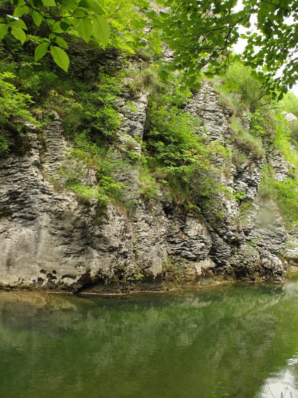
17 viewpoints, 3 waterfalls, 6 lakes and ponds and 4 caves, including Belvedere Monticello, Cascata Cascalacqua, Cratere del Sirente and Bivacco la Serra (OpenStreetMap).
Where can I stay in Sirente-Velino Regional Nature Park?
16 mountain huts and 1 campsite, including Rifugio Capanna di Sevice (2,119 m), L'Oasi di Kilian and Rifugio Vincenzo Sebastiani (2,102 m) (OpenStreetMap).
Are there historic monuments in Sirente-Velino Regional Nature Park?
Yes. According to Wikidata, 20 monuments protected as Italian national cultural heritage stand within the boundary. For example: “Chiesa di Sant'Antonio da Padova” in Fagnano Alto, “Borgo fortificato di Castello” in Fagnano Alto and “Tempio italico” in Castel di Ieri.
What is the nearest large city to Sirente-Velino Regional Nature Park?
Nearest towns of over 50,000 people, as the crow flies: L'Aquila (8 km) and Teramo (43 km). Nearest airport: Abruzzo (PSR), about 45 km away.
How can I reach Sirente-Velino Regional Nature Park by train?
Goriano Sicoli railway station lies within the site.
Where can I get visitor information on site?
Pro Loco, Sede del Parco Naturale Regionale Sirente Velino and Centro visita del Camoscio.
Are there waymarked hiking trails in Sirente-Velino Regional Nature Park?
Yes. Waymarked hiking routes listed in OpenStreetMap: 114, including E 1 (576 km), Con le ali ai piedi, Tratturo Celano-Foggia and Cammino di San Tommaso. The “European Long distance path E1 - part Italy - Lazio/Abruzzo” route runs for about 36 km through the site, with some 790 m of ascent on its longest section.
Which species can be seen in Sirente-Velino Regional Nature Park?
Among the species most often recorded on GBIF are Fagus sylvatica (European Beech), Gyps fulvus (Griffon Vulture), Falco tinnunculus (Common Kestrel) and Corvus cornix (Hooded Crow).
What is the official website of Sirente-Velino Regional Nature Park?
© OpenStreetMap
Download the boundary: GeoJSON · GPX Boundary © OpenStreetMap contributors (ODbL).
Geography
The representative point of the site lies at around 1,284 m above sea level. Over the 1996–2025 period, the mean annual temperature is about 8.7 °C and total precipitation reaches roughly 992 mm per year. The warmest month is usually August, the coolest January, and the wettest November. According to the European 1:1 million geological map (EGDI), the bedrock consists mainly of limestones (56% of sampled points), mudstones (25%) and sandstones (19%). These are mostly sedimentary rocks. The geological units date mainly from the Jurassic (44% of sampled points).
Area
- Area
- 54,361 ha
- Elevation
- 1,284 m
- Median elevation
- 1,264 m
- Mean slope
- 16°
- Snow cover
- ≈ 35 days a year
- Coordinates
- 42.2052, 13.5159
Terrain: Mapzen Terrain Tiles (SRTM, USGS)
Elevation bands
- below 500 m 1%
- 500–1,000 m 25%
- 1,000–1,500 m 45%
- 1,500–2,000 m 24%
- 2,000–2,500 m 6%
share of the site in each elevation band (smoothed terrain model: summits are rounded off) · Terrain: Mapzen Terrain Tiles (SRTM, USGS)
Bedrock
- Limestones 56 %
- Mudstones 25 %
- Sandstones 19 %
Sedimentary rocks 100 % · Main age: Jurassic (44%)
Source: EGDI 1:1M geological map (EuroGeoSurveys and national geological surveys), CC BY 4.0 · 16 sampled points within the site.
Main summits
- Monte Velino2,486 m
- Monte Cafornia2,424 m
- Cima Avezzano2,378 m
- Monte di Sevice2,355 m
- Monte Sirente2,348 m
- Monte Costognillo2,339 m
- Cimata Fossa dei Cavalli2,301 m
- La Castellina2,277 m
- Costone2,271 m
- Punta Macerola2,258 m
Data © OpenStreetMap contributors (ODbL)
Climate
● Mean temperature (°C) · ▮ Precipitation (mm)
Source: Copernicus ERA5-Land (C3S, doi:10.24381/cds.68d2bb30), monthly averages 1996–2025 interpolated to the representative point, temperatures adjusted for elevation.
Contains modified Copernicus Climate Change Service information 2026. Neither the European Commission nor ECMWF is responsible for any use that may be made of the Copernicus information or data it contains.
Snow cover measured by satellite
J
F
M
A
M
J
J
A
S
O
N
D
average share of the site under snow · snowiest parts · ≈ 35 days a year
Snow cover: MODIS/Terra MOD10CM v61 (Hall & Riggs, 2021, NASA NSIDC DAAC, doi:10.5067/MODIS/MOD10CM.061), imagery from NASA GIBS (ESDIS); 2015–2025 average, grid of about 5 km.
Natural habitats
According to CORINE Land Cover (2018), the site is mainly made up of grassland and meadows (30%), forests (29%) and heath and scrub (17%). Woodland is mostly broadleaved. Elevation ranges from about 560 m to 2,486 m (highest point: Monte Velino). Median elevation is 1,264 m, and 29% of the site lies above 1,500 m (SRTM elevation model). The terrain is steep: 11% of slopes exceed 30° (mean slope 16°). The 6 Natura 2000 sites overlapping the area list 27 habitats of European interest (10 priority), the most extensive being semi-natural dry grasslands and scrubland facies on calcareous substrates (Festuco-Brometalia) (* important orchid sites), Apeninne beech forests with Taxus and Ilex and alpine and subalpine calcareous grasslands.
Biodiversity
Based on occurrences aggregated by GBIF, several species are regularly recorded within the site. Among the most frequent are Fagus sylvatica (European Beech), Gyps fulvus (Griffon Vulture), Falco tinnunculus (Common Kestrel) and Corvus cornix (Hooded Crow). The full list of documented taxa is shown below. The overlapping Natura 2000 sites list 70 species of European interest: 17 birds, 25 mammals, 7 reptiles, 4 amphibians, 2 fish, 8 invertebrates and 7 plants.
Habitats of European interest
From the official forms of the 6 Natura 2000 sites overlapping the area (areas reported for each whole site).
- Semi-natural dry grasslands and scrubland facies on calcareous substrates (Festuco-Brometalia) (* important orchid sites) 9,155 ha
- Apeninne beech forests with Taxus and Ilex priority 7,053 ha
- Alpine and subalpine calcareous grasslands 4,257 ha
- Alpine and Boreal heaths 1,824 ha
- Eastern white oak woods priority 1,637 ha
- Calcareous and calcshist screes of the montane to alpine levels (Thlaspietea rotundifolii) 1,499 ha
- Calcareous rocky slopes with chasmophytic vegetation 873 ha
- Lowland hay meadows (Alopecurus pratensis, Sanguisorba officinalis) 824 ha
and 19 more
Species of European interest
Birds · 17
Eurasian Goshawk (Accipiter gentilis) resident, Rock Partridge (Alectoris graeca saxatilis) resident, Tawny Pipit (Anthus campestris) breeding, Golden Eagle (Aquila chrysaetos) resident, Eurasian Eagle-owl (Bubo bubo) resident, European Nightjar (Caprimulgus europaeus) breeding, White stork (Ciconia ciconia) breeding, White-backed Woodpecker (Dendrocopos leucotos) resident, Ortolan Bunting (Emberiza hortulana) breeding, Lanner Falcon (Falco biarmicus) resident, Peregrine Falcon (Falco peregrinus) resident, Collared Flycatcher (Ficedula albicollis) breeding and 5 more
Mammals · 25
Barbastelle (Barbastella barbastellus), Grey wolf (Canis lupus), Serotine bat (Eptesicus serotinus), European wildcat (Felis silvestris), Savi's Pipistrelle (Hypsugo savii), Crested porcupine (Hystrix cristata), European pine marten (Martes martes), Hazel dormouse (Muscardinus avellanarius), Western Polecat (Mustela putorius), Bechstein's bat (Myotis bechsteinii), Lesser mouse-eared myotis (Myotis blythii), Geoffroy's bat (Myotis emarginatus) and 13 more
Reptiles · 7
Smooth snake (Coronella austriaca), Four-lined snake (Elaphe quatuorlineata), Western Whip Snake (Hierophis viridiflavus), Western green lizard (Lacerta bilineata), Dice snake (Natrix tessellata), Meadow viper (Vipera ursinii), Aesculapian Snake (Zamenis longissimus)
Amphibians · 4
Apennine Yellow-bellied Toad (Bombina pachypus), Stripeless tree frog (Hyla meridionalis), Spectacled Salamander (Salamandrina terdigitata), Italian crested newt (Triturus carnifex)
Fish · 2
Horse Barbel (Barbus tyberinus), Sicilian Trout (Salmo cetti)
Invertebrates · 8
White-clawed Crayfish (Austropotamobius pallipes), Eastern Eggar (Eriogaster catax), Marsh fritillary (Euphydryas aurinia), Large Blue (Maculinea arion), Apollo (Parnassius apollo), Clouded apollo (Parnassius mnemosyne), Willowherb Hawkmoth (Proserpinus proserpina), Rosalia longicorn (Rosalia alpina)
Plants · 7
Adonis distorta, Apennines Genepì (Artemisia eriantha), Astragalus aquilanus, Great Yellow Gentian (Gentiana lutea), Adriatic lizard orchid (Himantoglossum adriaticum), Jacobaea vulgaris subsp. gotlandica, Klasea lycopifolia
Source: Natura 2000 standard data forms (EEA, CC-BY 4.0). Not exhaustive: sensitive species are not published.
Species to look out for


Bird
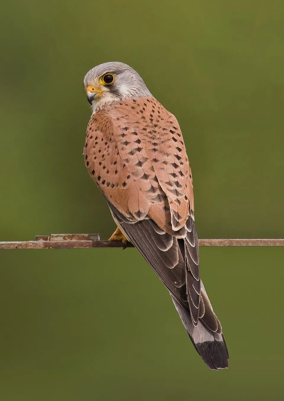
Hooded Crow
Corvus cornix60 records © Ricardo Tulio Gandelman from Rio de Janeiro, Brazil · CC BY 2.0

Observed species
Occurrences documented via GBIF; they are neither an exhaustive inventory nor proof of current presence.
- European Beech · Fagus sylvatica · 93
- Griffon Vulture · Gyps fulvus · 72
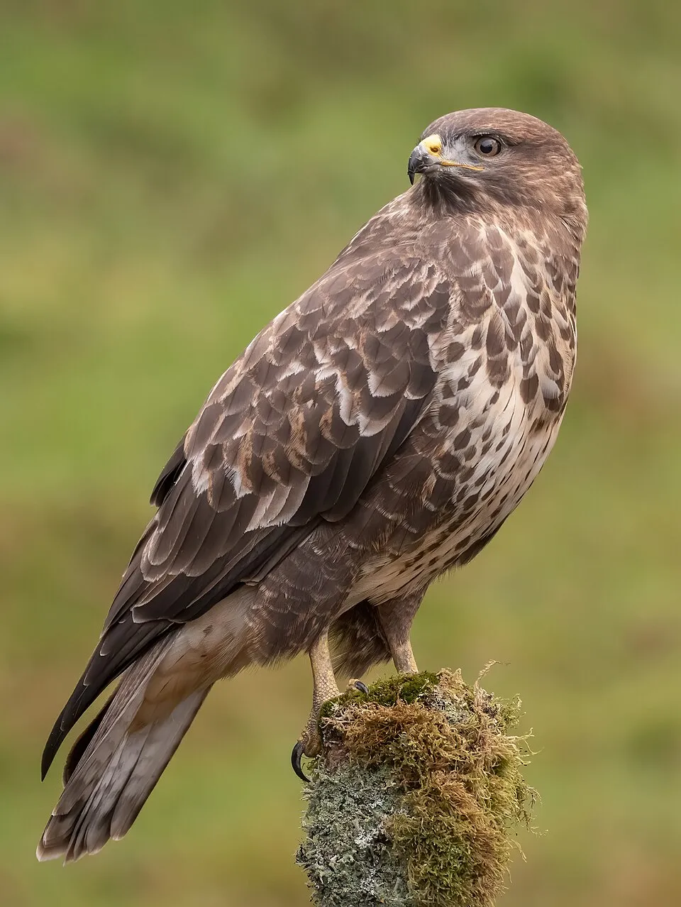
- Common Kestrel · Falco tinnunculus · 63
- Hooded Crow · Corvus cornix · 60
- Common Buzzard · Buteo buteo · 58
- Common Blackbird · Turdus merula · 54
- Eurasian Chaffinch · Fringilla coelebs · 54
- Red-billed Chough · Pyrrhocorax pyrrhocorax · 52
- Great tit · Parus major · 51
- Common Chiffchaff · Phylloscopus collybita · 49
- Common Juniper · Juniperus communis · 49
- Eurasian Jay · Garrulus glandarius · 48
+18 more species
- Eurasian blue tit · Cyanistes caeruleus · 46
- Common Linnet · Linaria cannabina · 46
- Black Redstart · Phoenicurus ochruros · 43
- European robin · Erithacus rubecula · 40
- Common Wood Pigeon · Columba palumbus · 40
- Spined Mason Bee · Osmia spinulosa · 40
- Rowan · Sorbus aucuparia · 39
- Northern Wheatear · Oenanthe oenanthe · 39
- Common House Martin · Delichon urbicum · 37
- Osmia picena · 36
- Armeria nebrodensis · 35
- Eurasian Magpie · Pica pica · 35
- Northern Raven · Corvus corax · 34
- European Goldfinch · Carduelis carduelis · 34
- Italian Sparrow · Passer italiae · 33
- Eurasian Blackcap · Sylvia atricapilla · 31
- Atadinus alpinus · 31
- Red-backed Shrike · Lanius collurio · 31
Records: GBIF.org (CC-BY). Names: Wikidata (CC0), GBIF. Photos: Wikimedia Commons.
Conservation challenges
The primary purpose of the site is to preserve its natural habitats and the biodiversity they support. The species recorded (Biodiversity tab) reflect its ecological value. The designations it holds frame its management and the control of land use.
According to Global Forest Change data (University of Maryland, Global Forest Watch), about 296 ha of tree cover were lost within the boundary between 2001 and 2023 (under 1% of its area), peaking in 2008. These losses include logging, storms and fires, and do not account for regrowth. According to the European CORINE Land Cover inventory (Copernicus), land cover changed on about 607 ha of the site between 1990 and 2018 (1% of its area): open natural land shrank by 380 ha, mostly giving way to forest. Since 2016, the European EFFIS system (Copernicus) has mapped 10 fires here, burning about 1,175 ha within the boundary; the largest, in August 2026 (near Celano), covered 306 ha. At night, 12% of the area gives off artificial light detectable from space (NASA VIIRS Black Marble composite, 2016). Built-up and developed land (buildings, business areas, roads, quarries) covers 1% of the area, and farmland 10% (CORINE Land Cover). According to the Natura 2000 forms, of 23 assessed habitats of European interest, 6 are in excellent condition and 2 in average or reduced condition. According to the Water Framework Directive assessment (2022 river basin management plans, data 2015–2020), of the 2 rivers assessed within the site, 1 has good ecological status and 1 poor ecological status. Invasive alien species have been recorded within the site since 2000 (GBIF observations), one of them listed as of Union concern. Among them: Ailanthus altissima (Tree-of-heaven), Prunus laurocerasus (Cherry laurel) and Syringa vulgaris (Common Lilac).
Pressure indicators
Tree cover lost
296 ha
2001–2023 · < 1% of the area
20012023
Fires since 2016
1,175 ha
burned within the boundary (10 mapped fires)
- 2026 · Celano · 306 ha
- 2026 · Rocca di Cambio · 223 ha
- 2017 · Secinaro · 218 ha
Light at night
12%
of the area gives off artificial light visible from space
DarkLit
Built-up land
1%
buildings, business areas, roads, quarries · farmland 10%
Land cover change
607 ha
changed cover, 1990–2018 · CORINE · 1% of the area
- −380 ha · open natural land
Rivers and lakes
78%
of the 26 km of assessed rivers in good or high ecological status · WFD 2022
assessments 2015–2020
Invasive alien species
4
incl. 1 of EU concern · since 2000
 Tree-of-heaven
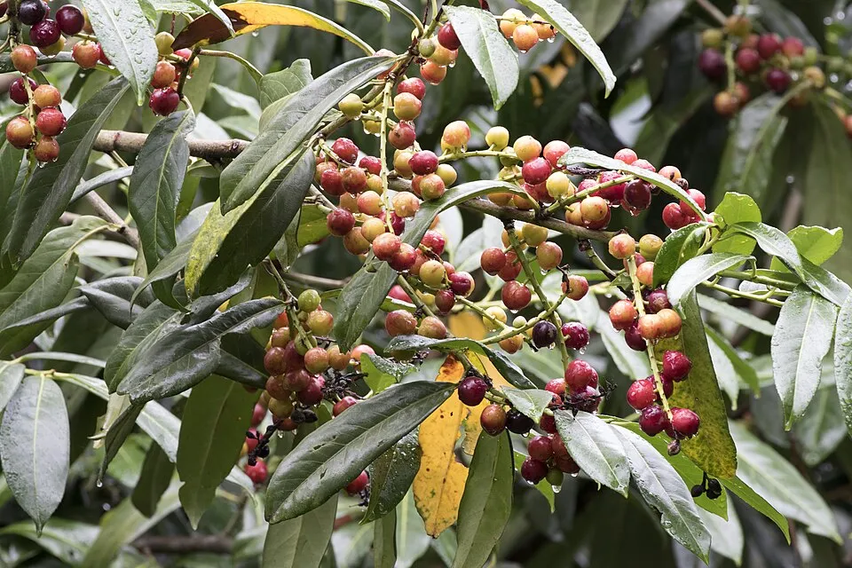 Cherry laurel
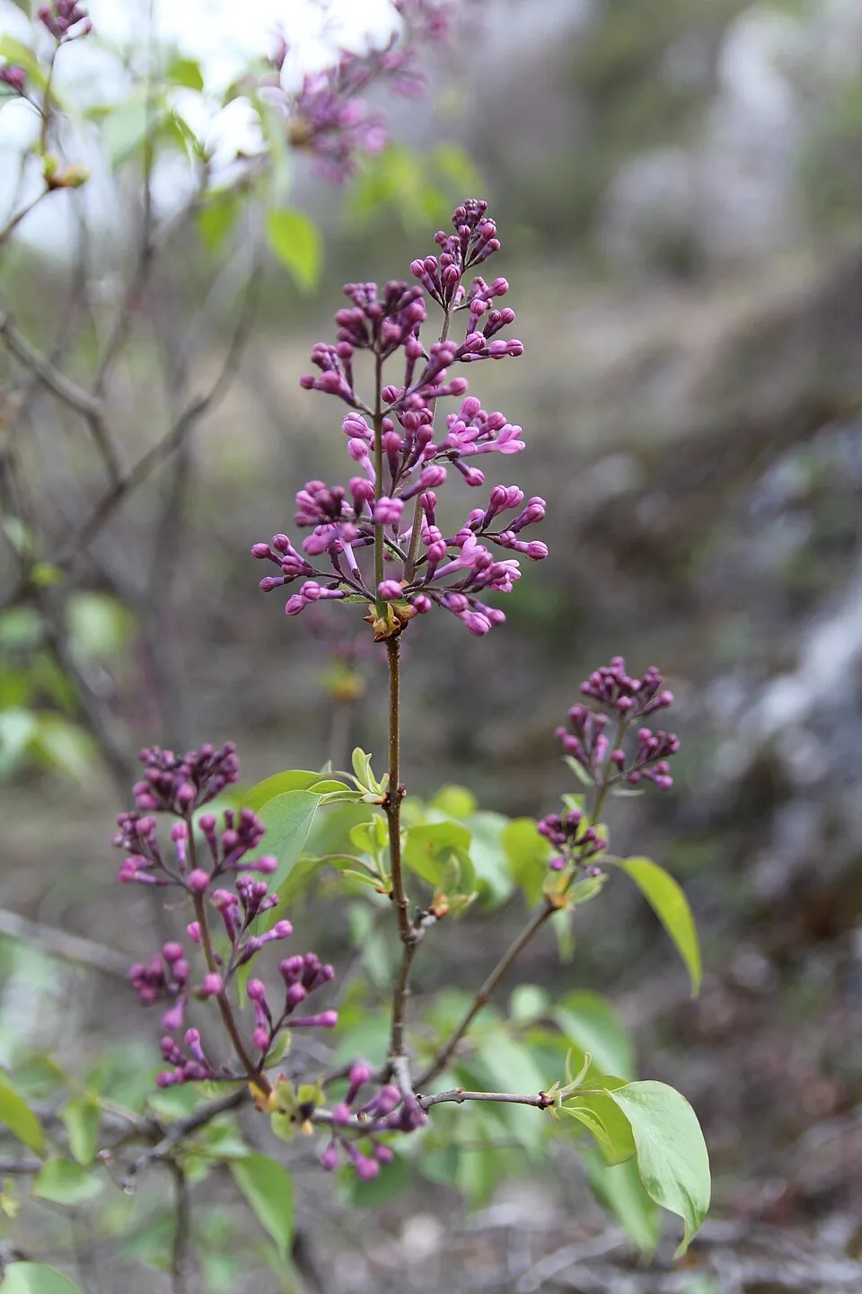 Common Lilac
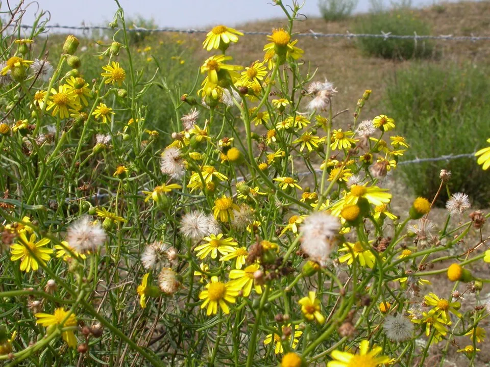 Narrow-leaved ragwort
Photos: Tree-of-heaven © Darkone · CC BY-SA 2.5; Cherry laurel © Zeynel Cebeci · CC BY-SA 4.0; Common Lilac © Aporia.j · CC BY-SA 4.0; Narrow-leaved ragwort © Pieter Pelser · CC BY 3.0
Sources: Global Forest Change (Hansen et al., University of Maryland, via Global Forest Watch, CC-BY 4.0); EFFIS, European Commission / Copernicus; NASA Black Marble 2016 (public domain); CORINE Land Cover 2018 (Copernicus) or MODIS.
CORINE Land Cover Change 1990–2018: generated using European Union's Copernicus Land Monitoring Service information (EEA), aggregated by Parkavela; DOI 10.2909/f30f1000-7cf8-43bb-872c-5eb093911b24.
Ecological status of water bodies: European Environment Agency, WISE – Water Framework Directive, 3rd river basin management plans (2022), CC BY 4.0. Official national classification, not comparable between countries.
Invasive alien species: Global Register of Introduced and Invasive Species (ISSG, CC BY 4.0); Union list, Regulation (EU) 1143/2014 (INBO, CC0); GBIF.org records (CC0 / CC BY 4.0), at least 2 per species.
Practical information
Cities and airport
- L'Aquila
8 km as the crow flies - Teramo
43 km as the crow flies - Airport: Abruzzo (PSR)
45 km as the crow flies
Visitor information
- Pro Loco
within the site - Sede del Parco Naturale Regionale Sirente Velino
within the site - Centro visita del Camoscio
within the site - Pro Loco Fagnanese
within the site
Things to see
17 viewpoints · 3 waterfalls · 6 lakes and ponds · 4 caves
- Belvedere Monticello
viewpoint - Cascata Cascalacqua
waterfall - Cratere del Sirente
lake or pond - Bivacco la Serra
cave - Cascata della Fonte degli Innamorati
waterfall
Where to stay
16 mountain huts · 1 campsite
- Rifugio Capanna di Sevice
Staffed hut · 2,119 m · 10 beds - L'Oasi di Kilian
campsite - Rifugio Vincenzo Sebastiani
Staffed hut · 2,102 m · 13 beds - Rifugio Telespazio
Staffed hut · 1,980 m · 20 beds - Rifugio Fonte Tavoloni
Staffed hut · 1,390 m · 12 beds
Hiking
114 waymarked routes listed, including:
E 1 (576 km)Con le ali ai piediTratturo Celano-FoggiaCammino di San TommasoIl Cammino d'Abruzzo
By bike
Pista Ciclabile Altopiano delle Rocche · 26 km
Signed cycle routes: this does not mean that cycling is allowed on footpaths.
Data © OpenStreetMap contributors (ODbL) · Wikidata (CC0)
Routes © OpenStreetMap contributors (ODbL), via Waymarked Trails
Waymarked hiking routes
E1 European Long distance path E1 - part Italy - Lazio/Abruzzo
35.6 km within the site ↗ 788 m↘ 944 m 1,022–1,487 m
CAP Con le ali ai piedi - 9
17.8 km within the site ↗ 302 m↘ 732 m 617–1,190 m
Tratturo Celano-Foggia
10.6 km within the site ↗ 148 m↘ 176 m 955–1,116 m
CdB Chemin des brigands - étape 4
3.7 km within the site ↗ 6 m↘ 512 m 1,397–1,910 m
up to T3 · demanding mountain hiking
Tracks © OpenStreetMap contributors (ODbL), clipped to the boundary; elevation gain and profiles computed on the longest section from Mapzen Terrain Tiles (≈ 30 m), indicative only. Indicative difficulty (SAC scale, OpenStreetMap, via Waymarked Trails): check with the park.
Access and visiting
Goriano Sicoli railway station lies within the site. Nearest towns of over 50,000 people, as the crow flies: L'Aquila (8 km) and Teramo (43 km). Nearest airport: Abruzzo (PSR), about 45 km away. About 260,000 people live within 20 km of the site boundary, 170,000 of them within 10 km; some 7,800 people are estimated to live inside (GHSL estimate, 2020). This population has fallen by about 7% since 2000. Visitor information on site: Pro Loco, Sede del Parco Naturale Regionale Sirente Velino and Centro visita del Camoscio. Waymarked hiking routes listed in OpenStreetMap: 114, including E 1 (576 km), Con le ali ai piedi, Tratturo Celano-Foggia and Cammino di San Tommaso. A signed cycle route crosses the site: “Pista Ciclabile Altopiano delle Rocche” (OpenStreetMap). To see: 17 viewpoints, 3 waterfalls, 6 lakes and ponds and 4 caves, including Belvedere Monticello, Cascata Cascalacqua, Cratere del Sirente and Bivacco la Serra. Where to stay: 16 mountain huts and 1 campsite, including Rifugio Capanna di Sevice (2,119 m), L'Oasi di Kilian and Rifugio Vincenzo Sebastiani (2,102 m). To plan a visit (access, opening periods, visitor rules), it is best to consult the official information from the managing body and the official website listed in this page's sources.
Source: OpenStreetMap (ODbL), Wikidata (CC0), October 2026.
Built heritage
According to Wikidata, 20 monuments protected as Italian national cultural heritage stand within the boundary. Among them are 11 castles and fortifications, 6 religious buildings and 2 houses and civic buildings. Examples include “Chiesa di Sant'Antonio da Padova” in Fagnano Alto, “Borgo fortificato di Castello” in Fagnano Alto and “Tempio italico” in Castel di Ieri.
11 castles and fortifications6 religious buildings2 houses and civic buildings1 prehistoric or archaeological site
-
Chiesa di Sant'Antonio da Padova
Fagnano Alto -
Borgo fortificato di Castello
Fagnano Alto -
Tempio italico
Castel di Ieri -
Museo di speleologia Vincenzo Rivera
San Demetrio ne' Vestini -
Santa Maria Agraiano
Fontecchio -
Borgo fortificato di Santa Maria del Ponte
Tione degli Abruzzi -
Museum of the culture of memory
Fontecchio -
Santa Maria del Ponte
Tione degli Abruzzi
and 12 more
Source: Wikidata (CC0), monuments in each country’s official heritage protection registers, at national or regional level. Each item links to its Wikidata entry.
When to visit
Best time to visit: from May to October, with average temperatures of 10 to 19 °C and moderate rainfall. These averages apply to the site's representative point (1,284 m); higher up it is markedly cooler and snow lasts longer. According to NASA's MODIS satellites (2015–2025 average), snow covers the site about 35 days a year, mostly from December to March. Day length ranges from about 9 h 06 min in December to 15 h 15 min in June. Wildlife records published on GBIF peak for birds (December and January), plants (from May to July), butterflies and moths (July), dragonflies (July) and mammals (September). These peaks also reflect when observers are most active.
Source: Copernicus ERA5-Land (C3S), monthly averages 1996–2025 at the representative point, temperatures adjusted for elevation.
Contains modified Copernicus Climate Change Service information 2026. Neither the European Commission nor ECMWF is responsible for any use that may be made of the Copernicus information or data it contains.
Wildlife records calendar
JFMAMJJASOND
Birds
Plants
Butterflies & moths
Dragonflies
Mammals
Monthly records published on GBIF (CC-BY), relative to the busiest month; also reflects observer activity.
Gallery
© Alessandro Mangione · CC BY-SA 4.0
© Irene Crea · CC BY-SA 4.0
© Tuljpanj · CC BY-SA 4.0
© Alessandro Mangione · CC BY-SA 4.0
© Alessandro Mangione · CC BY-SA 4.0
© Maurizio Panicara · CC BY-SA 4.0
Sources and licences
- Wikidata: Q1363820
- OpenStreetMap: relation 8426494
- Official website: http://www.parcosirentevelino.it
- Wikipedia: en.wikipedia.org/wiki/Sirente-Velino_Regional_Park
- WDPA: 32704
References
- cds.climate.copernicus.eu: climate · CC-BY-4.0
- registry.opendata.aws: elevation of the reference point, detailed relief · PD
- land.copernicus.eu: land cover, land cover change, sea share · COPERNICUS
- doi.org: population around the site · CC-BY-4.0
- wikidata.org: official area, establishment date, protected heritage, official name, nearby cities and airport, access and peaks, lake depths, places to see, official website · CC0-1.0
- eea.europa.eu: bathing water quality, ecological status of waters · CC-BY-4.0
- en.eurovelo.com: EuroVelo cycle routes · ODbL-1.0
- cycling.waymarkedtrails.org: cycle routes · ODbL-1.0
- opentopodata.org: elevations · PD
- forest-fire.emergency.copernicus.eu: wildfires · COPERNICUS
- globalforestwatch.org: tree cover loss · CC-BY-4.0
- gbif.org: seasonality of sightings, invasive alien species, observed species · CC-BY-4.0
- europe-geology.eu: geology · CC-BY-4.0
- hydrosheds.org: lakes · CC-BY-4.0
- natura2000.eea.europa.eu: Natura 2000 habitats and species · CC-BY-4.0
- earthobservatory.nasa.gov: night light · PD
- openstreetmap.org: access and peaks, places to see · ODbL-1.0
- hiking.waymarkedtrails.org: route difficulty · ODbL-1.0
- nsidc.org: snow cover · PD
- wikidata.org: Wikipedia article · CC-BY-SA-4.0
Data © OpenStreetMap contributors (ODbL), Wikidata (CC0) and the sources cited.