Hungary · Terrestrial
Aggtelek National Park
National park of 20,183 hectares in Hungary, established in 1985.
Overview
National park of 20,183 hectares in Hungary, established in 1985.
Aggtelek National Park is located in Hungary (Europe). It is a predominantly terrestrial area. Established in 1985, it covers about 20,183 hectares.
Protections and designations
UNESCO World Heritage
Ramsar site
Natura 2000 · habitats (SAC) · 2 sites
- Aggteleki-karszt és peremterületei HUAN20001
- Bódva-völgy és a Sas-patak-völgye HUAN20003
Natura 2000 · birds (SPA)
- Aggteleki-karszt HUAN10001
Protected as a national park. International labels and designations: UNESCO World Heritage (“Caves of Aggtelek Karst and Slovak Karst”), Ramsar site (“Baradla Domica cave system”) and Natura 2000 network (3 sites). Key dates: established in 1985, World Heritage listing in 1995, first Natura 2000 site under the Birds Directive in 2004 and first Natura 2000 site under the Habitats Directive in 2010.
In our collections
Timeline
-
1985
Established
-
1995
Inscribed as a UNESCO World Heritage Site Caves of Aggtelek Karst and Slovak Karst
-
2004
First Natura 2000 site under the Birds Directive
-
2010
First Natura 2000 site under the Habitats Directive 2 such sites designated up to 2010
Sources: Wikidata (CC0) for establishment and international labels; EEA Natura 2000 database (CC-BY 4.0) for site designation dates.
Frequently asked questions
Where is Aggtelek National Park?
In Hungary (Europe). Representative point: 48.4667° N, 20.4833° E.
How large is Aggtelek National Park?
About 20,183 hectares (202 km²). It is the 8th largest of the 8 national parks in Hungary covered by Parkavela.
When was Aggtelek National Park established?
In 1985.
What habitats and landscapes does Aggtelek National Park include?
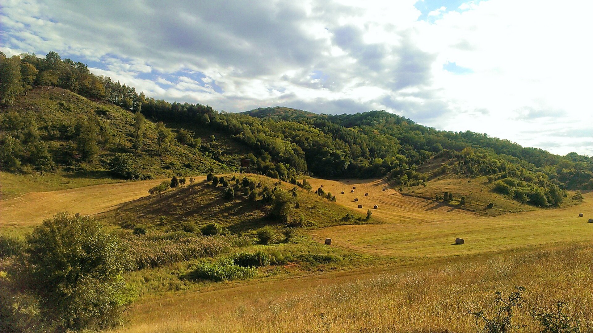
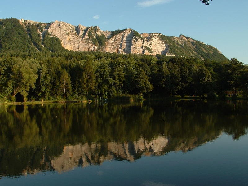
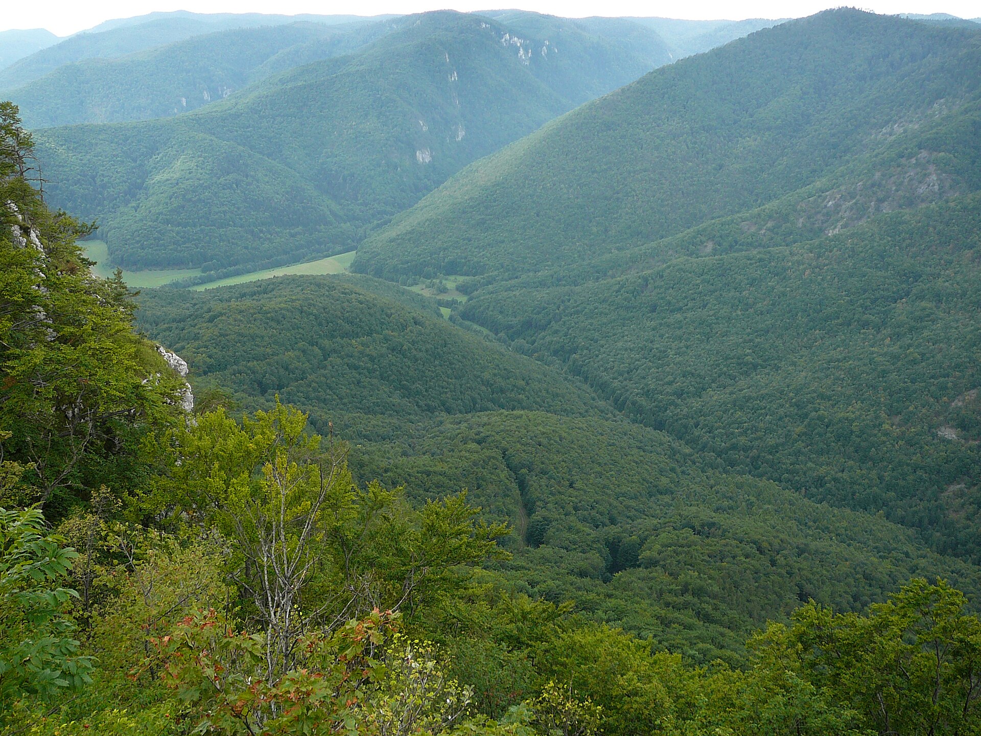
A terrestrial area, with forests.
What rocks lie beneath Aggtelek National Park?
According to the European 1:1 million geological map (EGDI), the bedrock consists mainly of limestones (69% of sampled points), mudstones (15%) and dolomites (15%). These are mostly sedimentary rocks. The geological units date mainly from the Triassic (77% of sampled points).
What is the highest point of Aggtelek National Park?
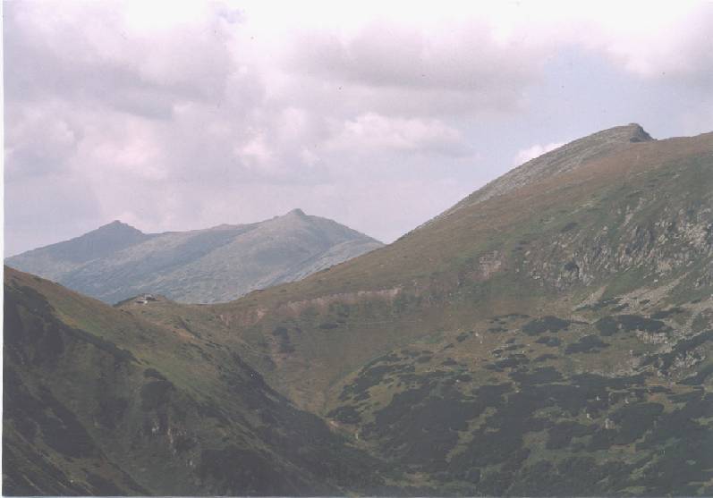
Fertős-tető, at 605 m (OpenStreetMap).
What are the main summits of Aggtelek National Park?
Fertős-tető (605 m), Kerek-Gárdony-tető (571 m), Mihály láza (563 m), Nagy Kopasz-Gally (554 m) and Kis Kopasz-Galy (553 m) (OpenStreetMap).
Which international labels apply to Aggtelek National Park?
UNESCO World Heritage (“Caves of Aggtelek Karst and Slovak Karst”), Ramsar site (“Baradla Domica cave system”) and Natura 2000 network (3 sites).
When is the best time to visit Aggtelek National Park?
Best time to visit: August and September, with average temperatures of 14 to 20 °C and moderate rainfall.
What is there to see in Aggtelek National Park?
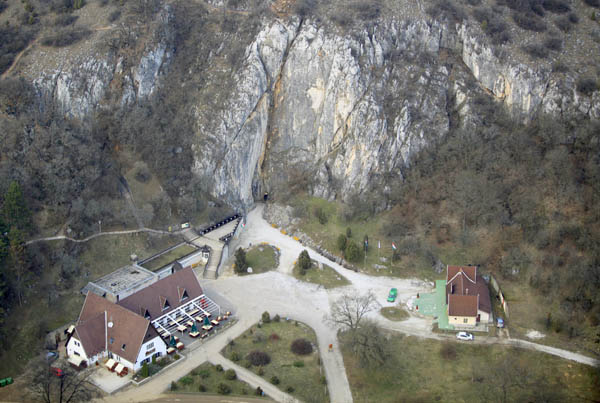
68 caves, including Eger-zsomboly, Néti-lyuk, Babot-kúti-forrásbarlang and Iskola-zsomboly (Wikidata).
What is the nearest large city to Aggtelek National Park?
Nearest towns of over 50,000 people, as the crow flies: Košice (34 km) and Miskolc (36 km). Nearest airport: Košice (KSC), about 31 km away.
How can I reach Aggtelek National Park by train?
The nearest railway station is Perkupa, less than 1 km from the site boundary.
Where can I get visitor information on site?
Látogató-központ.
Are there waymarked hiking trails in Aggtelek National Park?
Yes. Waymarked hiking routes listed in OpenStreetMap: 56, including E 4, Via Slovakia (Šiatorská Bukovinka, K, OKT (Bódvaszilas, Fő tér and Országos Kéktúra. The E4 európai hosszútávú turistaút (magyarországi szakasz) route runs for about 42 km through the site, with some 760 m of ascent on its longest section.
Which species can be seen in Aggtelek National Park?
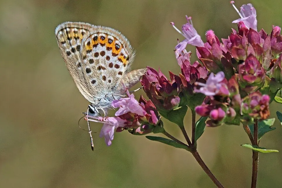
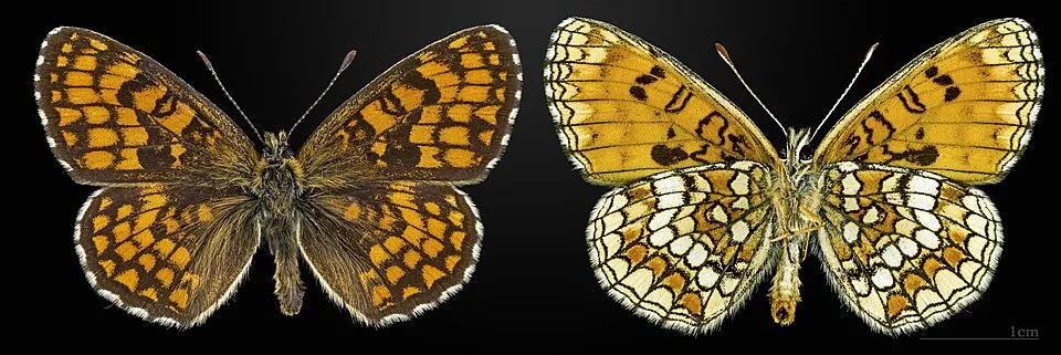
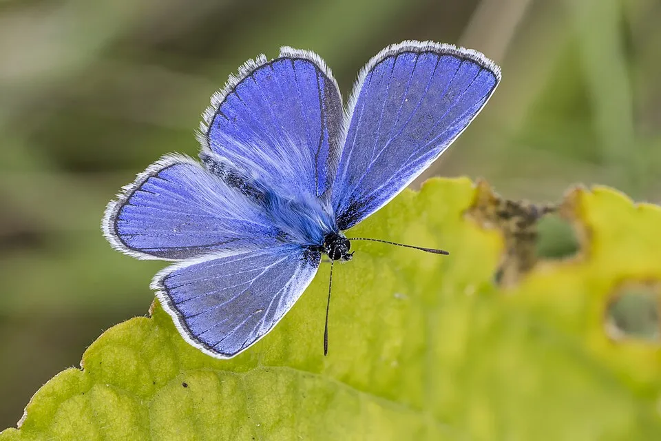
Among the species most often recorded on GBIF are Plebejus argus (Silver-studded Blue), Melitaea athalia (Heath Fritillary), Parus major (Great tit) and Polyommatus icarus (Common blue).
What is the official website of Aggtelek National Park?
© OpenStreetMap
Download the boundary: GeoJSON · GPX Boundary © OpenStreetMap contributors (ODbL).
Geography
The representative point of the site lies at around 344 m above sea level. Over the 1996–2025 period, the mean annual temperature is about 9.2 °C and total precipitation reaches roughly 686 mm per year. The warmest month is usually July, the coolest January, and the wettest July. According to the European 1:1 million geological map (EGDI), the bedrock consists mainly of limestones (69% of sampled points), mudstones (15%) and dolomites (15%). These are mostly sedimentary rocks. The geological units date mainly from the Triassic (77% of sampled points).
Area
- Area
- 20,183 ha
- Elevation
- 344 m
- Median elevation
- 354 m
- Mean slope
- 10°
- Coordinates
- 48.4667, 20.4833
Terrain: Mapzen Terrain Tiles (SRTM, USGS)
Bedrock
- Limestones 69 %
- Mudstones 15 %
- Dolomites 15 %
Sedimentary rocks 100 % · Main age: Triassic (77%)
Source: EGDI 1:1M geological map (EuroGeoSurveys and national geological surveys), CC BY 4.0 · 13 sampled points within the site.
Main summits
- Fertős-tető605 m
- Kerek-Gárdony-tető571 m
- Mihály láza563 m
- Nagy Kopasz-Gally554 m
- Kis Kopasz-Galy553 m
- Lófej-tető551 m
- Oltár-kő545 m
- Káposztás-bérc539 m
- Ocsisnya-tető536 m
- Szappanos-tető519 m
Data © OpenStreetMap contributors (ODbL)
Climate
● Mean temperature (°C) · ▮ Precipitation (mm)
Source: Copernicus ERA5-Land (C3S, doi:10.24381/cds.68d2bb30), monthly averages 1996–2025 interpolated to the representative point, temperatures adjusted for elevation.
Contains modified Copernicus Climate Change Service information 2026. Neither the European Commission nor ECMWF is responsible for any use that may be made of the Copernicus information or data it contains.
Snow cover measured by satellite
J
F
M
A
M
J
J
A
S
O
N
D
average share of the site under snow · snowiest parts · ≈ 20 days a year
Snow cover: MODIS/Terra MOD10CM v61 (Hall & Riggs, 2021, NASA NSIDC DAAC, doi:10.5067/MODIS/MOD10CM.061), imagery from NASA GIBS (ESDIS); 2015–2025 average, grid of about 5 km.
Natural habitats
According to CORINE Land Cover (2018), the site is mainly made up of forests (74%), heath and scrub (10%) and farmland (8%). Woodland is mostly broadleaved. Elevation ranges from about 180 m to 605 m (highest point: Fertős-tető). The 3 Natura 2000 sites overlapping the area list 26 habitats of European interest (8 priority), the most extensive being Pannonic woods with Quercus petraea and Carpinus betulus, Pannonian-Balkanic turkey oak-sessile oak forests and Pannonian woods with Quercus pubescens.
Biodiversity
Based on occurrences aggregated by GBIF, several species are regularly recorded within the site. Among the most frequent are Plebejus argus (Silver-studded Blue), Melitaea athalia (Heath Fritillary), Parus major (Great tit) and Polyommatus icarus (Common blue). The full list of documented taxa is shown below. The overlapping Natura 2000 sites list 131 species of European interest: 28 birds, 27 mammals, 3 reptiles, 11 amphibians, 11 fish, 36 invertebrates and 15 plants.
Habitats of European interest
From the official forms of the 3 Natura 2000 sites overlapping the area (areas reported for each whole site).
- Pannonic woods with Quercus petraea and Carpinus betulus priority 8,897 ha
- Pannonian-Balkanic turkey oak-sessile oak forests 2,826 ha
- Pannonian woods with Quercus pubescens priority 1,983 ha
- Asperulo-Fagetum beech forests 1,735 ha
- Semi-natural dry grasslands and scrubland facies on calcareous substrates (Festuco-Brometalia) (* important orchid sites) 934 ha
- Tilio-Acerion forests of slopes, screes and ravines priority 851 ha
- Mountain hay meadows 819 ha
- Alluvial forests with Alnus glutinosa and Fraxinus excelsior (Alno-Padion, Alnion incanae, Salicion albae) priority 583 ha
and 18 more
Species of European interest
Birds · 28
Common Kingfisher (Alcedo atthis) resident, Eastern Imperial Eagle (Aquila heliaca) resident passage, Hazel Grouse (Bonasa bonasia) resident, Eurasian Eagle-owl (Bubo bubo) resident, European Nightjar (Caprimulgus europaeus) breeding, White stork (Ciconia ciconia) breeding, Black Stork (Ciconia nigra) breeding, Short-toed Snake Eagle (Circaetus gallicus) breeding, Hen Harrier (Circus cyaneus) passage, Lesser Spotted Eagle (Clanga pomarina) breeding, Stock Dove (Columba oenas) breeding, Corn Crake (Crex crex) breeding and 16 more
Mammals · 27
Barbastelle (Barbastella barbastellus), Grey wolf (Canis lupus), Forest Dormouse (Dryomis nitedula), European wildcat (Felis silvestris), Eurasian otter (Lutra lutra), Eurasian Lynx (Lynx lynx), European pine marten (Martes martes), Common bent-wing bat (Miniopterus schreibersii), Hazel dormouse (Muscardinus avellanarius), Western Polecat (Mustela putorius), Bechstein's bat (Myotis bechsteinii), Lesser mouse-eared myotis (Myotis blythii) and 15 more
Reptiles · 3
Aesculapian snake (Elaphe longissima), European Pond Turtle (Emys orbicularis), Dice snake (Natrix tessellata)
Amphibians · 11
European fire-bellied toad (Bombina bombina), Yellow-bellied toad (Bombina variegata), Common tree frog (Hyla arborea), Common Spadefoot (Pelobates fuscus), Moor frog (Rana arvalis), Agile frog (Rana dalmatina), Edible frog (Rana esculenta), Pool frog (Rana lessonae), Marsh frog (Rana ridibunda), Common frog (Rana temporaria), Great crested newt (Triturus cristatus)
Fish · 11
Asp (Aspius aspius), Barbel (Barbus barbus), Mediterranean Barbel (Barbus meridionalis), Spined loach (Cobitis taenia), Eudontomyzon spp., White-finned gudgeon (Gobio albipinnatus), Weatherfish (Misgurnus fossilis), Rhodeus sericeus amarus, Kessler's Gudgeon (Romanogobio kesslerii), Golden Spined Loach (Sabanejewia aurata), Streber (Zingel streber)
Invertebrates · 36
Noble crayfish (Astacus astacus), Bolbelasmus unicornis, Carabus zawadzkii, Greater Capricorn Beetle (Cerambyx cerdo), Ornate Bluet (Coenagrion ornatum), Balkan goldenring (Cordulegaster heros), Cucujus cinnaberinus, Dioszeghyana schmidtii, Duvalius hungaricus, Erannis ankeraria, Eastern Eggar (Eriogaster catax), Scarce Fritillary (Euphydryas maturna) and 24 more
Plants · 15
Adenophora lilifolia, Lady's-slipper orchid (Cypripedium calceolus), Austrian Dragonhead (Dracocephalum austriacum), Eleocharis carniolica, Serotine bat (Eptesicus serotinus), Snowdrop (Galanthus nivalis), Himantoglossum jankae, Iris aphylla subsp. hungarica, Linderina procumbens, Prostrate false pimpernel (Lindernia procumbens), Stag's-horn Clubmoss (Lycopodium clavatum), Onosma tornensis and 3 more
Source: Natura 2000 standard data forms (EEA, CC-BY 4.0). Not exhaustive: sensitive species are not published.
Species to look out for

Observed species
Occurrences documented via GBIF; they are neither an exhaustive inventory nor proof of current presence.
- Silver-studded Blue · Plebejus argus · 137
- Heath Fritillary · Melitaea athalia · 126
- Great tit · Parus major · 102
- Common blue · Polyommatus icarus · 101
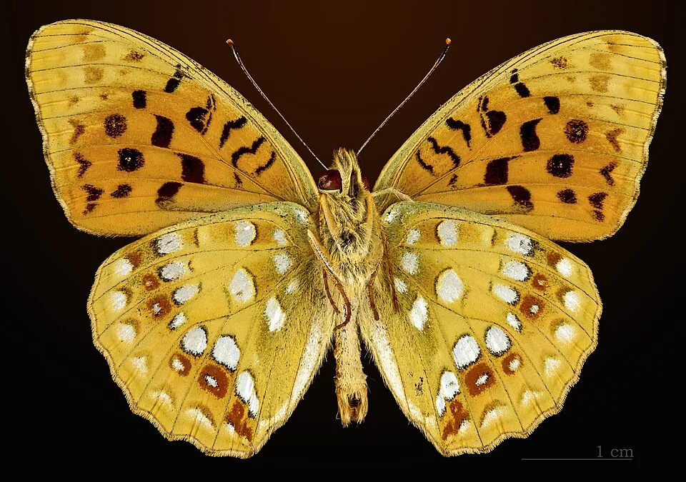
- High Brown Fritillary · Fabriciana adippe · 100
- Hydropsyche pellucidula · 94
- Eurasian Nuthatch · Sitta europaea · 90
- Reverdin's Blue · Plebejus argyrognomon · 90
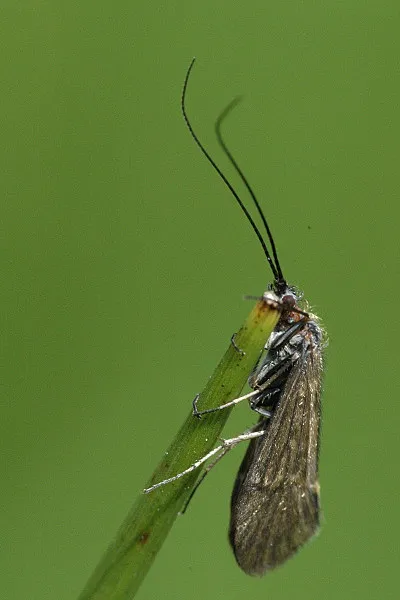
- Silver Sedge · Odontocerum albicorne · 81
- Great Spotted Woodpecker · Dendrocopos major · 77
- Halesus digitatus · 76
- Common Buzzard · Buteo buteo · 73
+18 more species
- Rhyacophila fasciata · 72
- Eurasian blue tit · Cyanistes caeruleus · 72
- Adonis blue · Lysandra bellargus · 71
- Common Blackbird · Turdus merula · 71
- Eurasian Jay · Garrulus glandarius · 71
- Potamophylax nigricornis · 67
- Marsh Tit · Poecile palustris · 66
- European robin · Erithacus rubecula · 66
- Northern Raven · Corvus corax · 65
- Hawfinch · Coccothraustes coccothraustes · 65
- Eurasian Chaffinch · Fringilla coelebs · 64
- Plectrocnemia conspersa · 63
- Lesser purple emperor · Apatura ilia · 63
- Yellowhammer · Emberiza citrinella · 62
- Stenophylax permistus · 62
- Twin-spot Fritillary · Brenthis hecate · 58
- Scarce copper · Lycaena virgaureae · 57
- Black Redstart · Phoenicurus ochruros · 54
Records: GBIF.org (CC-BY). Names: Wikidata (CC0), GBIF. Photos: Wikimedia Commons.
Conservation challenges
The primary purpose of the site is to preserve its natural habitats and the biodiversity they support. The species recorded (Biodiversity tab) reflect its ecological value. The designations it holds frame its management and the control of land use.
According to Global Forest Change data (University of Maryland, Global Forest Watch), about 439 ha of tree cover were lost within the boundary between 2001 and 2023 (2% of its area), peaking in 2023. These losses include logging, storms and fires, and do not account for regrowth. Apart from forest felling and regrowth (about 340 ha in total), land cover remained almost unchanged between 1990 and 2018 according to CORINE Land Cover. Since 2016, the European EFFIS system (Copernicus) has mapped 3 fires here, burning about 97 ha within the boundary; the largest, in March 2022 (near Szin), covered 51 ha. At night, the area gives off virtually no artificial light detectable from space (NASA VIIRS Black Marble composite, 2016). According to the Natura 2000 forms, of 24 assessed habitats of European interest, 3 are in average or reduced condition and the rest in good condition. According to the Water Framework Directive assessment (2022 river basin management plans, data 2013–2019), only 15% of the 27 km of rivers assessed within the site are in good or high ecological status; the others mostly have moderate ecological status.
Pressure indicators
Tree cover lost
439 ha
2001–2023 · 2% of the area
20012023
Fires since 2016
97 ha
burned within the boundary (3 mapped fires)
- 2022 · Szin · 51 ha
- 2019 · Szalonna · 32 ha
- 2022 · Szalonna · 14 ha
Light at night
0%
of the area gives off artificial light visible from space
DarkLit
Built-up land
< 1%
buildings, business areas, roads, quarries · farmland 8%
Land cover change
< 0.5%
of the area changed, 1990–2018 · CORINE
forest felling and regrowth: 340 ha in total
Rivers and lakes
15%
of the 27 km of assessed rivers in good or high ecological status · WFD 2022
assessments 2013–2019
Invasive alien species
2
recorded since 2000
Asian Lady Beetle
 Small balsam
Photos: Small balsam © André Karwath aka Aka · CC BY-SA 2.5
Sources: Global Forest Change (Hansen et al., University of Maryland, via Global Forest Watch, CC-BY 4.0); EFFIS, European Commission / Copernicus; NASA Black Marble 2016 (public domain); CORINE Land Cover 2018 (Copernicus) or MODIS.
CORINE Land Cover Change 1990–2018: generated using European Union's Copernicus Land Monitoring Service information (EEA), aggregated by Parkavela; DOI 10.2909/f30f1000-7cf8-43bb-872c-5eb093911b24.
Ecological status of water bodies: European Environment Agency, WISE – Water Framework Directive, 3rd river basin management plans (2022), CC BY 4.0. Official national classification, not comparable between countries.
Invasive alien species: Global Register of Introduced and Invasive Species (ISSG, CC BY 4.0); Union list, Regulation (EU) 1143/2014 (INBO, CC0); GBIF.org records (CC0 / CC BY 4.0), at least 2 per species.
Practical information
Cities and airport
- Košice
34 km as the crow flies - Miskolc
36 km as the crow flies - Airport: Košice (KSC)
31 km as the crow flies
Visitor information
- Látogató-központ
within the site
Parking
11 public car parks listed within the site · 4 trailheads
Baradla Barlang Parkoló
Things to see
68 caves
- Eger-zsomboly
cave - Néti-lyuk
cave - Babot-kúti-forrásbarlang
cave - Iskola-zsomboly
cave - Vecsem-forrásbarlang
cave
Hiking
56 waymarked routes listed, including:
E 4Via Slovakia (Šiatorská BukovinkaK, OKT (Bódvaszilas, Fő térOrszágos KéktúraP (RudabányaZ (Aggtelek
By bike
+ 3 local loops
Signed cycle routes: this does not mean that cycling is allowed on footpaths.
Data © OpenStreetMap contributors (ODbL) · Wikidata (CC0)
Routes © OpenStreetMap contributors (ODbL), via Waymarked Trails
Waymarked hiking routes
E4 E4 európai hosszútávú turistaút (magyarországi szakasz)
41.7 km within the site ↗ 762 m↘ 696 m 216–513 m
K, OKT (Bódvaszilas, Fő tér – Gibárt, Hernád híd)
7.4 km within the site ↗ 118 m↘ 97 m 373–468 m
Tracks © OpenStreetMap contributors (ODbL), clipped to the boundary; elevation gain and profiles computed on the longest section from Mapzen Terrain Tiles (≈ 30 m), indicative only.
Access and visiting
The nearest railway station is Perkupa, less than 1 km from the site boundary. Nearest towns of over 50,000 people, as the crow flies: Košice (34 km) and Miskolc (36 km). Nearest airport: Košice (KSC), about 31 km away. About 210,000 people live within 20 km of the site boundary, 54,000 of them within 10 km; some 2,500 people are estimated to live inside (GHSL estimate, 2020). Visitor information on site: Látogató-központ. Public car parks listed within the site: 11, including Baradla Barlang Parkoló. Waymarked hiking routes listed in OpenStreetMap: 56, including E 4, Via Slovakia (Šiatorská Bukovinka, K, OKT (Bódvaszilas, Fő tér and Országos Kéktúra. To see: 68 caves, including Eger-zsomboly, Néti-lyuk, Babot-kúti-forrásbarlang and Iskola-zsomboly. To plan a visit (access, opening periods, visitor rules), it is best to consult the official information from the managing body and the official website listed in this page's sources.
Source: OpenStreetMap (ODbL), Wikidata (CC0), October 2026.
When to visit
Best time to visit: August and September, with average temperatures of 14 to 20 °C and moderate rainfall. Average temperatures drop below 0 °C from December to February: frost is common. Snow only makes brief appearances in winter (about 20 days a year on average, MODIS satellites 2015–2025). Day length ranges from about 8 h 19 min in December to 16 h 05 min in June. Wildlife records published on GBIF peak for birds (May), plants (May and June), butterflies and moths (June), dragonflies (June) and mammals (September). These peaks also reflect when observers are most active.
Source: Copernicus ERA5-Land (C3S), monthly averages 1996–2025 at the representative point, temperatures adjusted for elevation.
Contains modified Copernicus Climate Change Service information 2026. Neither the European Commission nor ECMWF is responsible for any use that may be made of the Copernicus information or data it contains.
Wildlife records calendar
JFMAMJJASOND
Birds
Plants
Butterflies & moths
Dragonflies
Mammals
Monthly records published on GBIF (CC-BY), relative to the busiest month; also reflects observer activity.
Gallery
© Civertan · CC BY-SA 3.0
© Kalyob · CC BY-SA 3.0
© SzSzili01 · CC BY 4.0
© Skatya86 · CC BY-SA 4.0
© Mr. Theklan · CC BY-SA 2.0
© SzSzili01 · CC BY 4.0
Sources and licences
- Wikidata: Q516668
- OpenStreetMap: relation 7409332
- Official website: http://www.anp.hu/hu
- Wikipedia: en.wikipedia.org/wiki/Aggtelek_National_Park
- WDPA: 13652
References
- cds.climate.copernicus.eu: climate · CC-BY-4.0
- registry.opendata.aws: elevation of the reference point, detailed relief · PD
- land.copernicus.eu: land cover, land cover change, sea share · COPERNICUS
- doi.org: population around the site · CC-BY-4.0
- wikidata.org: official area, establishment date, protected heritage, nearby cities and airport, access and peaks, lake depths, places to see, official website · CC0-1.0
- eea.europa.eu: bathing water quality, ecological status of waters · CC-BY-4.0
- en.eurovelo.com: EuroVelo cycle routes · ODbL-1.0
- cycling.waymarkedtrails.org: cycle routes · ODbL-1.0
- opentopodata.org: elevations · PD
- forest-fire.emergency.copernicus.eu: wildfires · COPERNICUS
- globalforestwatch.org: tree cover loss · CC-BY-4.0
- gbif.org: seasonality of sightings, invasive alien species, observed species · CC-BY-4.0
- europe-geology.eu: geology · CC-BY-4.0
- hydrosheds.org: lakes · CC-BY-4.0
- natura2000.eea.europa.eu: Natura 2000 habitats and species · CC-BY-4.0
- openstreetmap.org: official name, access and peaks, trail difficulty · ODbL-1.0
- earthobservatory.nasa.gov: night light · PD
- hiking.waymarkedtrails.org: route difficulty · ODbL-1.0
- nsidc.org: snow cover · PD
- wikidata.org: Wikipedia article · CC-BY-SA-4.0
Data © OpenStreetMap contributors (ODbL), Wikidata (CC0) and the sources cited.