Slovakia · Terrestrial
Slovak Paradise National Park
National park of 19,763 hectares in Slovakia, established in 1988.
Overview
National park of 19,763 hectares in Slovakia, established in 1988.
Slovak Paradise National Park is located in Slovakia (Europe). It is a predominantly terrestrial area. Established in 1988, it covers about 19,763 hectares.
Protections and designations
UNESCO World Heritage
Natura 2000 · habitats (SAC) · 2 sites
- Horný tok Hornádu SKUEV0290
- Slovenský raj SKUEV0112
Natura 2000 · birds (SPA)
- Slovenský raj SKCHVU053
Protected as a national park. International labels and designations: UNESCO World Heritage (“Caves of Aggtelek Karst and Slovak Karst”) and Natura 2000 network (3 sites). Key dates: established in 1988, World Heritage listing in 2000 and first Natura 2000 site under the Birds Directive in 2011.
In our collections
Timeline
-
1988
Established
-
2000
Inscribed as a UNESCO World Heritage Site Caves of Aggtelek Karst and Slovak Karst
-
2011
First Natura 2000 site under the Birds Directive
Sources: Wikidata (CC0) for establishment and international labels; EEA Natura 2000 database (CC-BY 4.0) for site designation dates.
Frequently asked questions
Where is Slovak Paradise National Park?
In Slovakia (Europe). Representative point: 48.9083° N, 20.4000° E.
How large is Slovak Paradise National Park?
About 19,763 hectares (198 km²). It is the 8th largest of the 9 national parks in Slovakia covered by Parkavela.
When was Slovak Paradise National Park established?
In 1988.
What habitats and landscapes does Slovak Paradise National Park include?
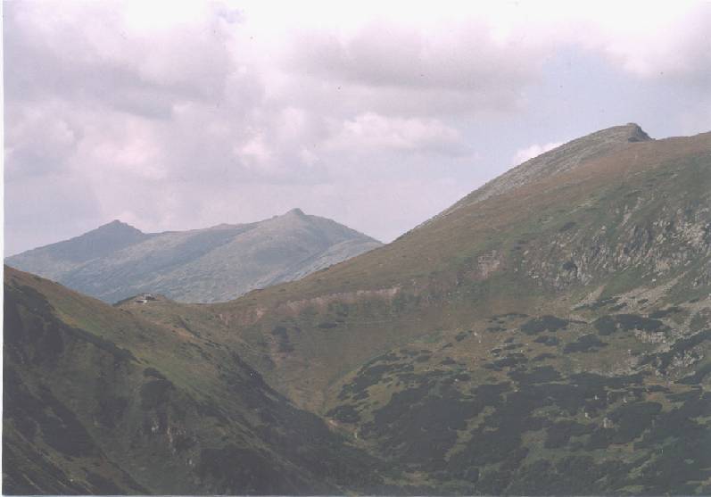
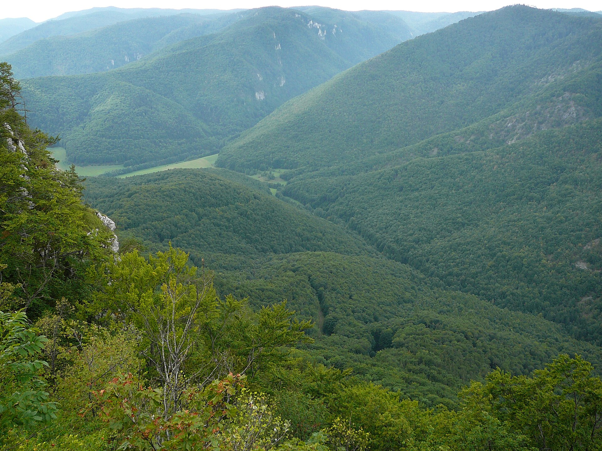
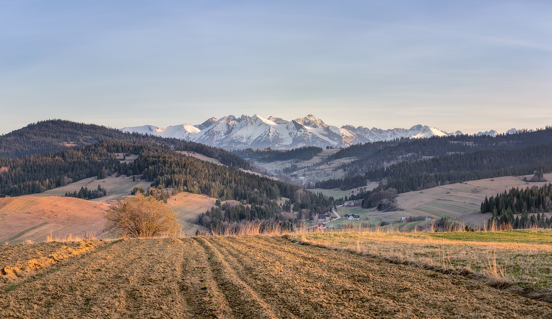
A terrestrial area, with forests and mountains.
What rocks lie beneath Slovak Paradise National Park?
According to the European 1:1 million geological map (EGDI), the bedrock consists mainly of dolomites (63% of sampled points), mudstones (13%) and limestones (13%). These are mostly sedimentary rocks. The geological units date mainly from the Triassic (81% of sampled points).
What is the highest point of Slovak Paradise National Park?
Predná hoľa, at 1,546 m (OpenStreetMap).
What are the main summits of Slovak Paradise National Park?
Predná hoľa (1,546 m), Ondrejisko (1,271 m), Človečia hlava (1,269 m), Javorina (1,185 m) and Honzovské (1,172 m) (OpenStreetMap).
Which international labels apply to Slovak Paradise National Park?
UNESCO World Heritage (“Caves of Aggtelek Karst and Slovak Karst”) and Natura 2000 network (3 sites).
When is the best time to visit Slovak Paradise National Park?
Mildest period: from June to August, with average temperatures of 14 to 16 °C.
Is there snow in Slovak Paradise National Park?
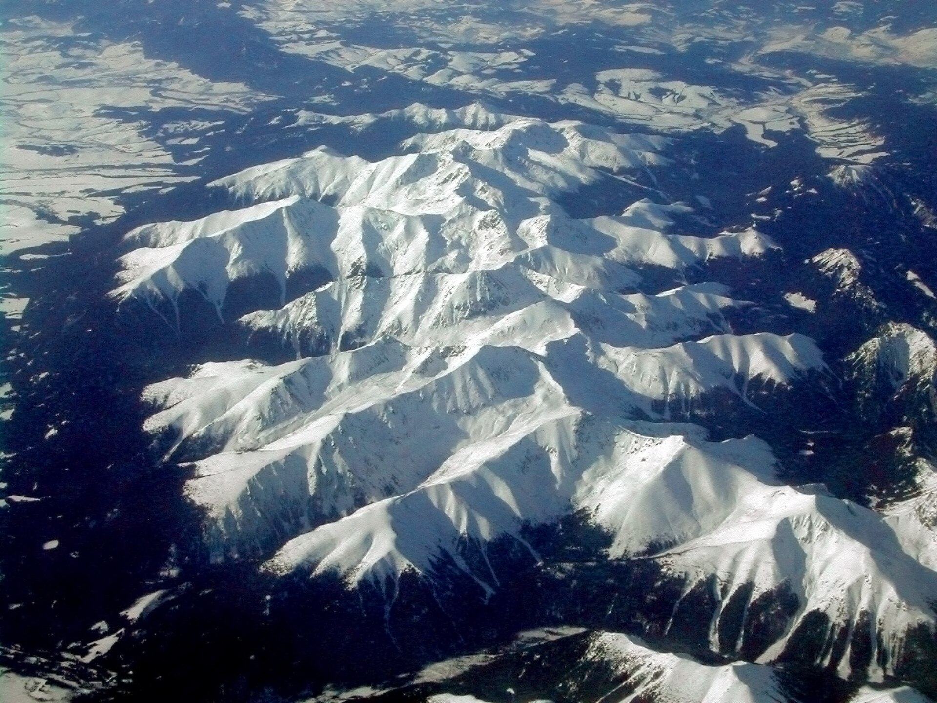
Yes. According to NASA's MODIS satellites (2015–2025 average), snow covers most of the site from December to February, with about 80 snow-covered days a year on average.
What is there to see in Slovak Paradise National Park?
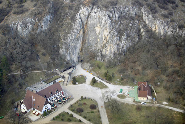
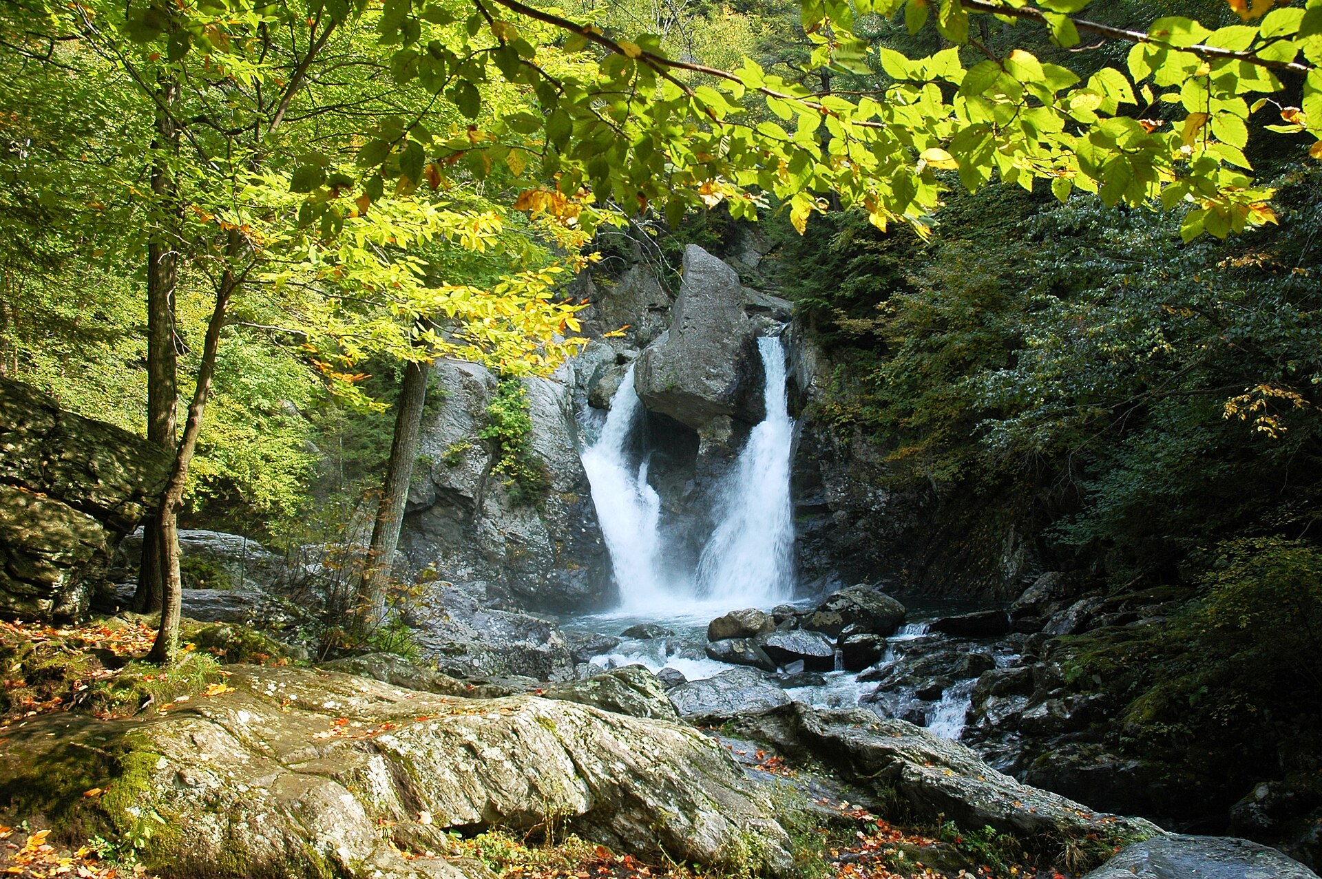
1 waterfall and 2 caves, including Závojový vodopád, Stratenská jaskyňa and Medvedia jaskyňa (Wikidata).
Are there historic monuments in Slovak Paradise National Park?
Yes. According to Wikidata, 9 monuments listed in the Slovak register of national cultural monuments stand within the boundary. For example: “Chrám Narod. Presv. Bohorodičky” in Vernár, “Hradisko Čingov” in Smižany and “Pomník padlým v I. a II. SV. V.” in Dedinky.
Can you swim in Slovak Paradise National Park?
One monitored bathing site lies in or within 1 km of the site (European Environment Agency). Swimming is only permitted at the sites and times authorised locally.
What is the nearest large city to Slovak Paradise National Park?
Nearest towns of over 50,000 people, as the crow flies: Prešov (53 km) and Košice (59 km). Nearest airport: Poprad-Tatry (TAT), about 13 km away.
How can I reach Slovak Paradise National Park by train?
Dobšinská Ľadová Jaskyňa railway station lies within the site.
Where can I get visitor information on site?
TIC Dobšinská Ľadová Jaskyňa and Informačné centrum Správy NP Slovenský raj.
Are there waymarked hiking trails in Slovak Paradise National Park?
Yes. Waymarked hiking routes listed in OpenStreetMap: 68, including E 8 and Cesta hrdinov SNP. The “I23” route runs for about 43 km through the site, with some 1,800 m of ascent on its longest section.
Which species can be seen in Slovak Paradise National Park?
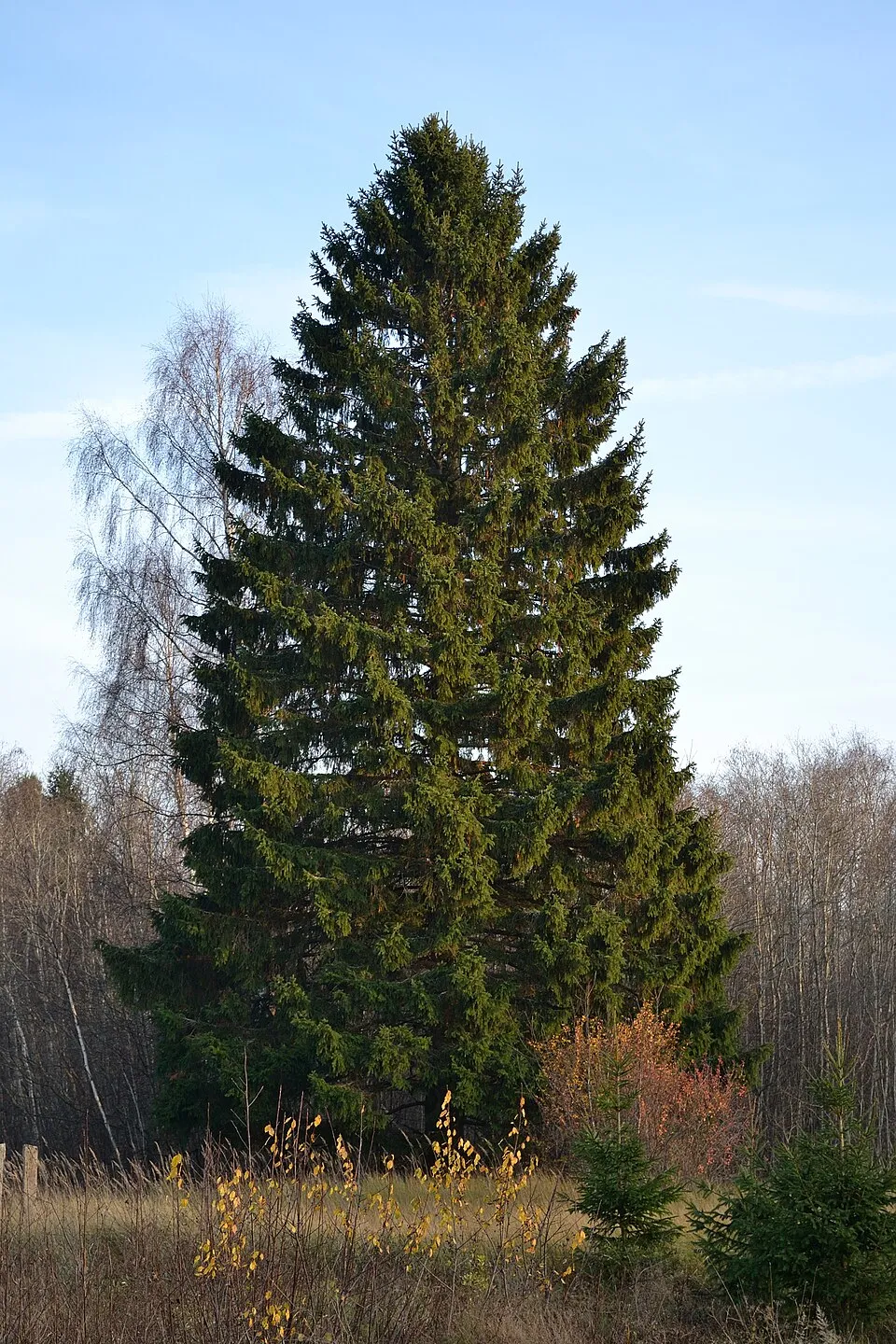
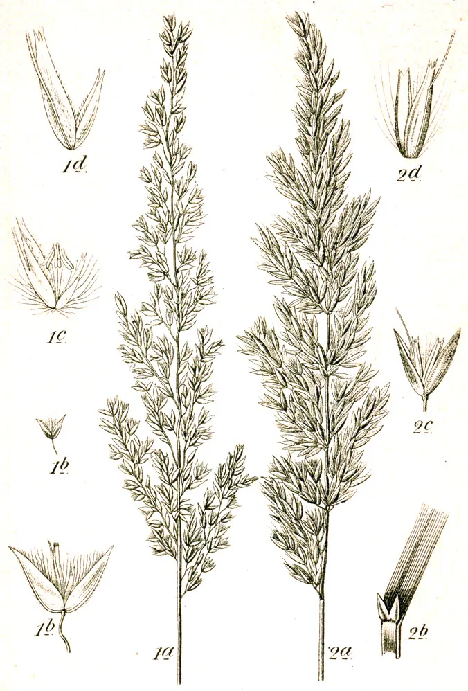
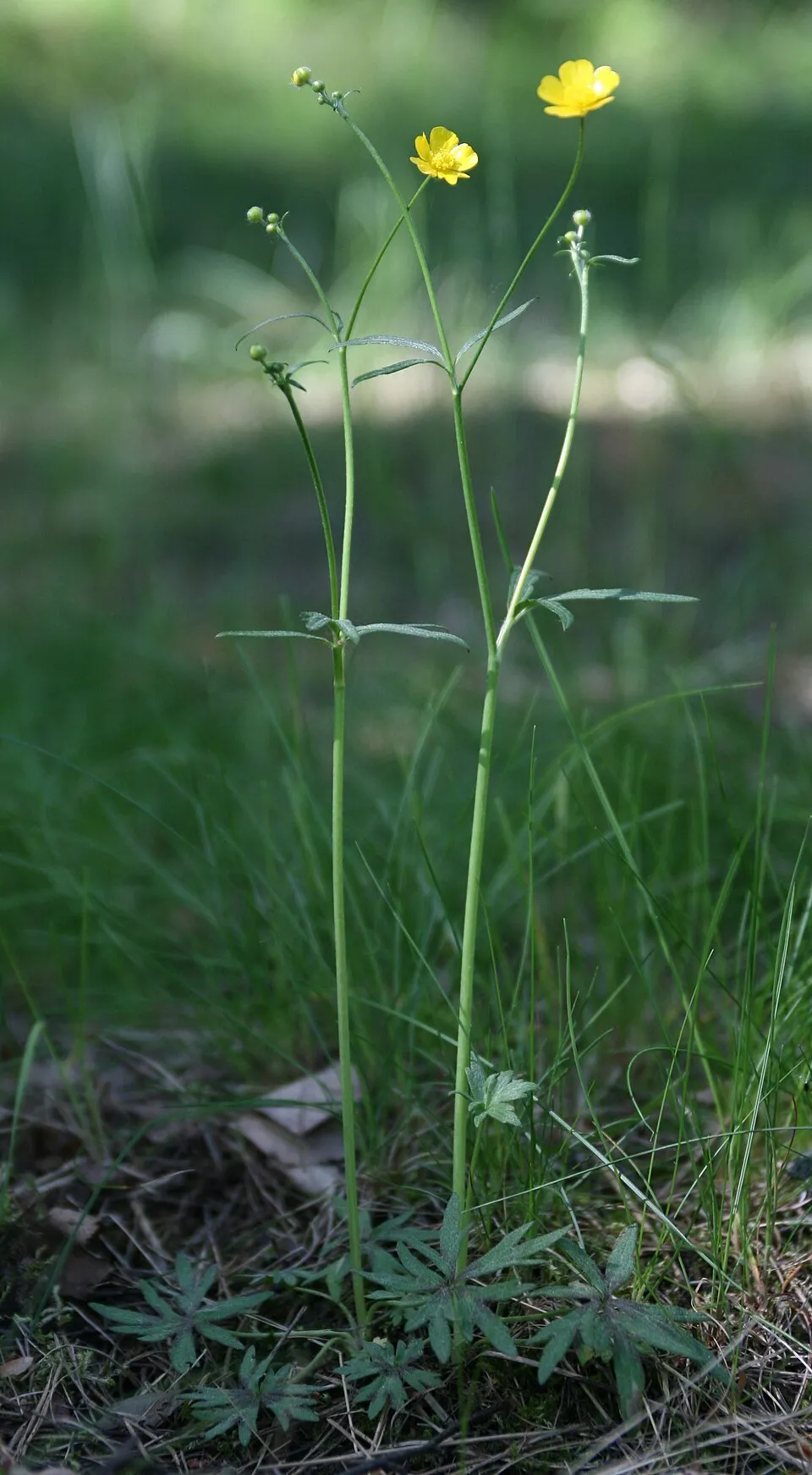
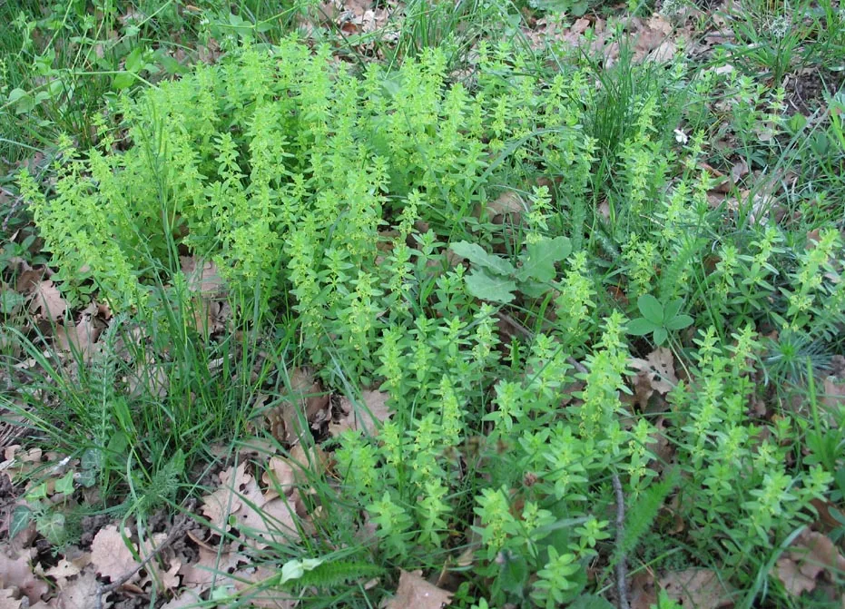
Among the species most often recorded on GBIF are Picea abies (Norway spruce), Calamagrostis varia, Ranunculus acris (Meadow buttercup) and Cruciata glabra.
What is the official website of Slovak Paradise National Park?
© OpenStreetMap
Download the boundary: GeoJSON · GPX Boundary © OpenStreetMap contributors (ODbL).
Geography
The representative point of the site lies at around 974 m above sea level. Over the 1996–2025 period, the mean annual temperature is about 5.4 °C and total precipitation reaches roughly 834 mm per year. The warmest month is usually July, the coolest January, and the wettest July. According to the European 1:1 million geological map (EGDI), the bedrock consists mainly of dolomites (63% of sampled points), mudstones (13%) and limestones (13%). These are mostly sedimentary rocks. The geological units date mainly from the Triassic (81% of sampled points).
Area
- Area
- 19,763 ha
- Elevation
- 974 m
- Median elevation
- 903 m
- Mean slope
- 17°
- Snow cover
- ≈ 80 days a year
- Coordinates
- 48.9083, 20.4
Terrain: Mapzen Terrain Tiles (SRTM, USGS)
Elevation bands
- 500–1,000 m 75%
- 1,000–1,500 m 25%
share of the site in each elevation band (smoothed terrain model: summits are rounded off) · Terrain: Mapzen Terrain Tiles (SRTM, USGS)
Bedrock
- Dolomites 63 %
- Mudstones 13 %
- Limestones 13 %
- Conglomerates and breccias 6 %
- Sandstones 6 %
Sedimentary rocks 100 % · Main age: Triassic (81%)
Source: EGDI 1:1M geological map (EuroGeoSurveys and national geological surveys), CC BY 4.0 · 16 sampled points within the site.
Main summits
- Predná hoľa1,546 m
- Ondrejisko1,271 m
- Človečia hlava1,269 m
- Javorina1,185 m
- Honzovské1,172 m
- Remiaška1,167 m
- Havrania skala1,156 m
- Čierna hora1,152 m
- Duča1,141 m
- Vahan1,139 m
Data © OpenStreetMap contributors (ODbL)
Climate
● Mean temperature (°C) · ▮ Precipitation (mm)
Source: Copernicus ERA5-Land (C3S, doi:10.24381/cds.68d2bb30), monthly averages 1996–2025 interpolated to the representative point, temperatures adjusted for elevation.
Contains modified Copernicus Climate Change Service information 2026. Neither the European Commission nor ECMWF is responsible for any use that may be made of the Copernicus information or data it contains.
Snow cover measured by satellite
J
F
M
A
M
J
J
A
S
O
N
D
average share of the site under snow · snowiest parts · ≈ 80 days a year
Snow cover: MODIS/Terra MOD10CM v61 (Hall & Riggs, 2021, NASA NSIDC DAAC, doi:10.5067/MODIS/MOD10CM.061), imagery from NASA GIBS (ESDIS); 2015–2025 average, grid of about 5 km.
Natural habitats
According to CORINE Land Cover (2018), the site is mainly made up of forests (84%) and heath and scrub (6%). Woodland is mostly coniferous. Elevation ranges from about 530 m to 1,546 m (highest point: Predná hoľa). Median elevation is 903 m, and 25% of the site lies above 1,000 m (SRTM elevation model). The terrain is steep: 54% of slopes exceed 15° (mean slope 17°). The 3 Natura 2000 sites overlapping the area list 29 habitats of European interest (7 priority), the most extensive being Medio-European limestone beech forests of the Cephalanthero-Fagion, Asperulo-Fagetum beech forests and lowland hay meadows (Alopecurus pratensis, Sanguisorba officinalis).
Biodiversity
Based on occurrences aggregated by GBIF, several species are regularly recorded within the site. Among the most frequent are Picea abies (Norway spruce), Calamagrostis varia, Ranunculus acris (Meadow buttercup) and Cruciata glabra. The full list of documented taxa is shown below. The overlapping Natura 2000 sites list 52 species of European interest: 14 birds, 13 mammals, 3 amphibians, 3 fish, 11 invertebrates and 8 plants.
Habitats of European interest
From the official forms of the 3 Natura 2000 sites overlapping the area (areas reported for each whole site).
- Medio-European limestone beech forests of the Cephalanthero-Fagion 7,000 ha
- Asperulo-Fagetum beech forests 1,800 ha
- Lowland hay meadows (Alopecurus pratensis, Sanguisorba officinalis) 880 ha
- Western Carpathian calcicolous Pinus sylvestris forests 843 ha
- Tilio-Acerion forests of slopes, screes and ravines priority 675 ha
- Acidophilous Picea forests of the montane to alpine levels (Vaccinio-Piceetea) 150 ha
- Alluvial forests with Alnus glutinosa and Fraxinus excelsior (Alno-Padion, Alnion incanae, Salicion albae) priority 122 ha
- Caves not open to the public 106 ha
and 21 more
Species of European interest
Birds · 14
Golden Eagle (Aquila chrysaetos) resident, Hazel Grouse (Bonasa bonasia) resident, Eurasian Eagle-owl (Bubo bubo) resident, Black Stork (Ciconia nigra) breeding, Lesser Spotted Eagle (Clanga pomarina) breeding, Black Woodpecker (Dryocopus martius) resident, Peregrine Falcon (Falco peregrinus) breeding, Eurasian Pygmy Owlet (Glaucidium passerinum) resident, Black Grouse (Lyrurus tetrix) resident, European honey buzzard (Pernis apivorus) breeding, Three-toed Woodpecker (Picoides tridactylus) resident, Grey-headed Woodpecker (Picus canus) resident and 2 more
Mammals · 13
Barbastelle (Barbastella barbastellus), Grey wolf (Canis lupus), Eurasian otter (Lutra lutra), Eurasian Lynx (Lynx lynx), Bechstein's bat (Myotis bechsteinii), Lesser mouse-eared myotis (Myotis blythii), Pond bat (Myotis dasycneme), Geoffroy's bat (Myotis emarginatus), Greater mouse-eared bat (Myotis myotis), Greater Horseshoe Bat (Rhinolophus ferrumequinum), Lesser horseshoe bat (Rhinolophus hipposideros), European ground squirrel (Spermophilus citellus) and 1 more
Amphibians · 3
Yellow-bellied toad (Bombina variegata), Great crested newt (Triturus cristatus), Montandon's newt (Triturus montandoni)
Fish · 3
Carpathian Barbel (Barbus carpathicus), European bullhead (Cottus gobio), Carpathian brook lamprey (Eudontomyzon danfordi)
Invertebrates · 11
Carabus variolosus, Greater Capricorn Beetle (Cerambyx cerdo), Cucujus cinnaberinus, Jersey Tiger (Euplagia quadripunctaria), Fenton's Wood White (Leptidea morsei), Large copper (Lycaena dispar), Scarce large blue (Maculinea teleius), Pseudogaurotina excellens, Thick shelled river mussel (Unio crassus), Narrow-mouthed whorl snail (Vertigo angustior), Geyer's whorl snail (Vertigo geyeri)
Plants · 8
Adenophora lilifolia, Buxbaumia moss (Buxbaumia viridis), Lady's-slipper orchid (Cypripedium calceolus), Iris aphylla subsp. hungarica, Ligularia sibirica, Field Macewort (Mannia triandra), Slovak Pasque Flower (Pulsatilla slavica), Intermediate Pasque Flower (Pulsatilla subslavica)
Source: Natura 2000 standard data forms (EEA, CC-BY 4.0). Not exhaustive: sensitive species are not published.
Species to look out for

Observed species
Occurrences documented via GBIF; they are neither an exhaustive inventory nor proof of current presence.
- Norway spruce · Picea abies · 766
- Calamagrostis varia · 428
- Meadow buttercup · Ranunculus acris · 396
- Cruciata glabra · 389
- European Beech · Fagus sylvatica · 377
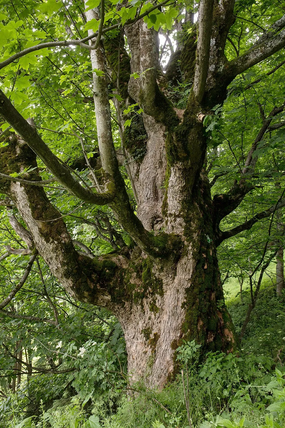
- Sycamore · Acer pseudoplatanus · 364
- Tormentil · Potentilla erecta · 359
- Scots Pine · Pinus sylvestris · 354
- Quaking grass · Briza media · 351
- Wild strawberry · Fragaria vesca · 348
- Red fescue · Festuca rubra · 327
- Common Bird's-foot-trefoil · Lotus corniculatus · 324
+18 more species
- Red clover · Trifolium pratense · 324
- Oxeye daisy · Leucanthemum vulgare · 319
- Silver Fir · Abies alba · 318
- Germander speedwell · Veronica chamaedrys · 317
- Rowan · Sorbus aucuparia · 315
- Yarrow · Achillea millefolium · 306
- Oxlip · Primula elatior · 305
- Common Sorrel · Rumex acetosa · 304
- Cock's-foot · Dactylis glomerata · 302
- Self-heal · Prunella vulgaris · 296
- Rough hawkbit · Leontodon hispidus · 294
- Tufted hair-grass · Deschampsia cespitosa · 294
- Meadow vetchling · Lathyrus pratensis · 283
- Marsh hawk's-beard · Crepis paludosa · 279
- Fingered Sedge · Carex digitata · 277
- Water avens · Geum rivale · 276
- Round-headed Rampion · Phyteuma orbiculare · 275
- Sweet vernalgrass · Anthoxanthum odoratum · 256
Records: GBIF.org (CC-BY). Names: Wikidata (CC0), GBIF. Photos: Wikimedia Commons.
Conservation challenges
The primary purpose of the site is to preserve its natural habitats and the biodiversity they support. The species recorded (Biodiversity tab) reflect its ecological value. The designations it holds frame its management and the control of land use.
According to Global Forest Change data (University of Maryland, Global Forest Watch), about 2,380 ha of tree cover were lost within the boundary between 2001 and 2023 (12% of its area), peaking in 2017 and 2018. These losses include logging, storms and fires, and do not account for regrowth. According to the European CORINE Land Cover inventory (Copernicus), land cover changed on about 129 ha of the site between 1990 and 2018 (under 1% of its area): farmland shrank by 129 ha, mostly giving way to forest, while forest grew by 113 ha, mostly at the expense of farmland. Forest felling and regrowth add about 2,600 ha in total over the period. At night, the area gives off virtually no artificial light detectable from space (NASA VIIRS Black Marble composite, 2016). Built-up and developed land (buildings, business areas, roads, quarries) covers 1% of the area (CORINE Land Cover). According to the Natura 2000 forms, of 28 assessed habitats of European interest, 13 are in excellent condition and 1 in average or reduced condition. According to the Water Framework Directive assessment (2022 river basin management plans, data 2021), 100% of the 70 km of rivers assessed within the site are in good or high ecological status. Other assessed water bodies: lakes, 1 of 1 in good ecological status or better. Since 2000, 9 invasive alien species have been recorded within the site (GBIF observations), 2 of them listed as of Union concern under EU Regulation 1143/2014. Among them: Impatiens glandulifera (Himalayan Balsam), Reynoutria japonica (Japanese Knotweed) and Impatiens parviflora (Small balsam).
Pressure indicators
Tree cover lost
2,381 ha
2001–2023 · 12% of the area
20012023
Fires since 2016
0
No large fire mapped (fires over about 30 ha)
Light at night
0%
of the area gives off artificial light visible from space
DarkLit
Built-up land
1%
buildings, business areas, roads, quarries · farmland 3%
Land cover change
129 ha
changed cover, 1990–2018 · CORINE · < 1% of the area
- −129 ha · farmland
- +113 ha · forest
forest felling and regrowth: 2,600 ha in total
Rivers and lakes
100%
of the 70 km of assessed rivers in good or high ecological status · WFD 2022
Lakes: 1 of 1 good or better
assessments 2021
Invasive alien species
9
incl. 2 of EU concern · since 2000
 Himalayan BalsamEU
 Japanese KnotweedEU
 Small balsam
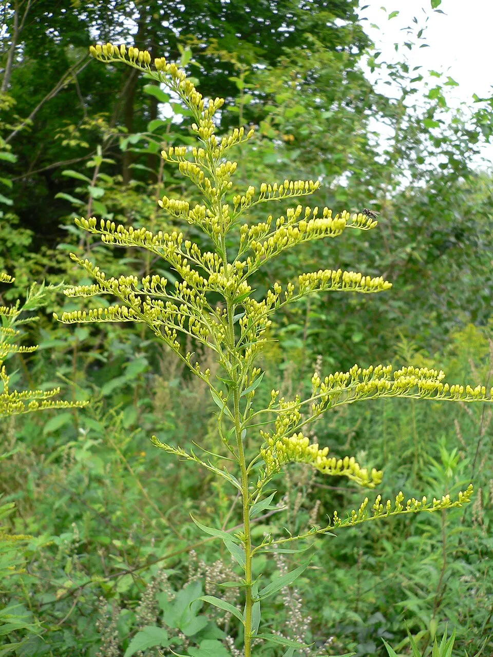 Canada goldenrod
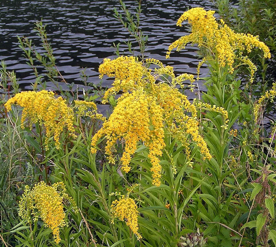 Giant goldenrod
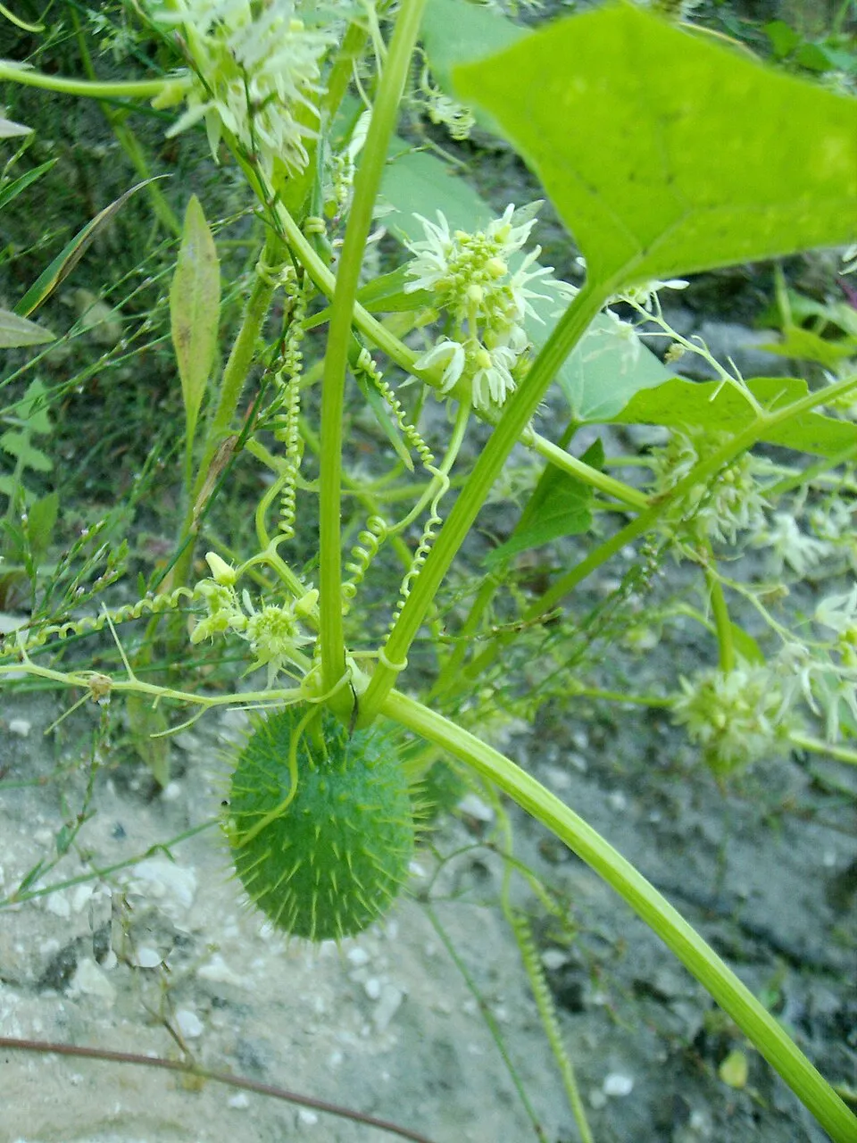 Wild cucumber
 Black locust
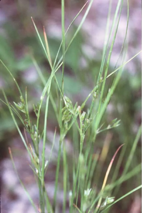 Slender rush
Photos: Himalayan Balsam © Guptaele · CC BY-SA 4.0; Japanese Knotweed © W.carter · CC0-1.0; Small balsam © André Karwath aka Aka · CC BY-SA 2.5; Canada goldenrod © Georg Slickers · CC BY-SA 4.0; Giant goldenrod © Pethan · CC BY-SA 3.0; Wild cucumber © Aung · Public domain; Black locust © This Photo was taken by Wolfgang Moroder. Feel free to use my photos, but please mention me as the author and send me a message. This image is not in the public domain. Please respect the copyright protection. It may only be used according… · CC BY-SA 3.0; Slender rush © EVula · Public domain
Sources: Global Forest Change (Hansen et al., University of Maryland, via Global Forest Watch, CC-BY 4.0); EFFIS, European Commission / Copernicus; NASA Black Marble 2016 (public domain); CORINE Land Cover 2018 (Copernicus) or MODIS.
CORINE Land Cover Change 1990–2018: generated using European Union's Copernicus Land Monitoring Service information (EEA), aggregated by Parkavela; DOI 10.2909/f30f1000-7cf8-43bb-872c-5eb093911b24.
Ecological status of water bodies: European Environment Agency, WISE – Water Framework Directive, 3rd river basin management plans (2022), CC BY 4.0. Official national classification, not comparable between countries.
Invasive alien species: Global Register of Introduced and Invasive Species (ISSG, CC BY 4.0); Union list, Regulation (EU) 1143/2014 (INBO, CC0); GBIF.org records (CC0 / CC BY 4.0), at least 2 per species.
Practical information
Cities and airport
- Prešov
53 km as the crow flies - Košice
59 km as the crow flies - Airport: Poprad-Tatry (TAT)
13 km as the crow flies
Visitor information
- TIC Dobšinská Ľadová Jaskyňa
within the site - Informačné centrum Správy NP Slovenský raj
within the site
Parking
29 public car parks listed within the site · 2 trailheads
Things to see
1 waterfall · 2 caves
- Závojový vodopád
waterfall - Stratenská jaskyňa
cave - Medvedia jaskyňa
cave
Hiking
68 waymarked routes listed, including:
E 8Cesta hrdinov SNP
By bike
2715 Glacká cesta · 20 km2703 · 20 km5702 · 18 km5705 · 9 km
Signed cycle routes: this does not mean that cycling is allowed on footpaths.
Data © OpenStreetMap contributors (ODbL) · Wikidata (CC0)
Routes © OpenStreetMap contributors (ODbL), via Waymarked Trails
Waymarked hiking routes
E8 European long distance path E8 - part Slovakia
12.1 km within the site ↗ 148 m↘ 349 m 909–1,128 m
Tracks © OpenStreetMap contributors (ODbL), clipped to the boundary; elevation gain and profiles computed on the longest section from Mapzen Terrain Tiles (≈ 30 m), indicative only.
Bathing
1 monitored bathing site in or within 1 km of the site · 2025 classification
Not classified · 1
- Palcmanská Maša · lake · Not classified
Source: European Environment Agency, official bathing water classification (Directive 2006/7/EC, CC-BY 4.0). Swimming is only permitted at the sites and times authorised locally.
Access and visiting
Dobšinská Ľadová Jaskyňa railway station lies within the site. Nearest towns of over 50,000 people, as the crow flies: Prešov (53 km) and Košice (59 km). Nearest airport: Poprad-Tatry (TAT), about 13 km away. About 290,000 people live within 20 km of the site boundary, 120,000 of them within 10 km; some 1,900 people are estimated to live inside (GHSL estimate, 2020). This population has grown by about 8% since 2000. Visitor information on site: TIC Dobšinská Ľadová Jaskyňa and Informačné centrum Správy NP Slovenský raj. Public car parks listed within the site: 29. Waymarked hiking routes listed in OpenStreetMap: 68, including E 8 and Cesta hrdinov SNP. The site is crossed by 12 signed cycle routes, including “2715 Glacká cesta” and “2703” (OpenStreetMap). To see: 1 waterfall and 2 caves, including Závojový vodopád, Stratenská jaskyňa and Medvedia jaskyňa. To plan a visit (access, opening periods, visitor rules), it is best to consult the official information from the managing body and the official website listed in this page's sources.
Source: OpenStreetMap (ODbL), Wikidata (CC0), October 2026.
Built heritage
According to Wikidata, 9 monuments listed in the Slovak register of national cultural monuments stand within the boundary. Among them are 4 houses and civic buildings, 2 religious buildings and 1 castle or fortification. Examples include “Chrám Narod. Presv. Bohorodičky” in Vernár, “Hradisko Čingov” in Smižany and “Pomník padlým v I. a II. SV. V.” in Dedinky.
4 houses and civic buildings2 religious buildings1 castle or fortification1 bridge, lighthouse, mill or working building
-
Chrám Narod. Presv. Bohorodičky
Vernár · 19th c. -
Hradisko Čingov
Smižany -
Pomník padlým v I. a II. SV. V.
Dedinky · 20th c. -
Klauzy
Smižany · 18th c. -
Vernárska Tiesňava
Vernár · 20th c. -
Kláštorisko
Letanovce · 14th c. -
Zájazdný hostinec a voziareň
Stratená · 19th c. -
Základná škola. materská škola
Vernár
and 1 more
Source: Wikidata (CC0), monuments in each country’s official heritage protection registers, at national or regional level. Each item links to its Wikidata entry.
When to visit
Mildest period: from June to August, with average temperatures of 14 to 16 °C. Average temperatures drop below 0 °C from December to March: frost is common. Precipitation peaks in July (up to 120 mm per month). These averages apply to the site's representative point (974 m); higher up it is markedly cooler and snow lasts longer. According to NASA's MODIS satellites (2015–2025 average), snow covers most of the site from December to February, with about 80 snow-covered days a year on average. Day length ranges from about 8 h 16 min in December to 16 h 10 min in June. Wildlife records published on GBIF peak for birds (July), plants (June and July) and butterflies and moths (July). These peaks also reflect when observers are most active.
Source: Copernicus ERA5-Land (C3S), monthly averages 1996–2025 at the representative point, temperatures adjusted for elevation.
Contains modified Copernicus Climate Change Service information 2026. Neither the European Commission nor ECMWF is responsible for any use that may be made of the Copernicus information or data it contains.
Wildlife records calendar
JFMAMJJASOND
Birds
Plants
Butterflies & moths
Monthly records published on GBIF (CC-BY), relative to the busiest month; also reflects observer activity.
Gallery
© Zdenek Svoboda from Prague, Czech Republic · CC BY 2.0
© Honza Groh · CC BY 3.0
© gbohne from Berlin, Germany · CC BY-SA 2.0
© gbohne from Berlin, Germany · CC BY-SA 2.0
© Palickap · CC BY-SA 4.0
© gbohne from Berlin, Germany · CC BY-SA 2.0
Sources and licences
- Wikidata: Q1507799
- OpenStreetMap: relation 6757026
- Official website: http://npslovenskyraj.sopsr.sk/
- Wikipedia: en.wikipedia.org/wiki/Slovak_Paradise_National_Park
- WDPA: 4377
References
- cds.climate.copernicus.eu: climate · CC-BY-4.0
- registry.opendata.aws: elevation of the reference point, detailed relief · PD
- land.copernicus.eu: land cover, land cover change, sea share · COPERNICUS
- doi.org: population around the site · CC-BY-4.0
- wikidata.org: official area, establishment date, protected heritage, official name, nearby cities and airport, access and peaks, lake depths, places to see, official website · CC0-1.0
- eea.europa.eu: bathing water quality, ecological status of waters · CC-BY-4.0
- en.eurovelo.com: EuroVelo cycle routes · ODbL-1.0
- cycling.waymarkedtrails.org: cycle routes · ODbL-1.0
- opentopodata.org: elevations · PD
- forest-fire.emergency.copernicus.eu: wildfires · COPERNICUS
- globalforestwatch.org: tree cover loss · CC-BY-4.0
- gbif.org: seasonality of sightings, invasive alien species, observed species · CC-BY-4.0
- europe-geology.eu: geology · CC-BY-4.0
- hydrosheds.org: lakes · CC-BY-4.0
- natura2000.eea.europa.eu: Natura 2000 habitats and species · CC-BY-4.0
- earthobservatory.nasa.gov: night light · PD
- openstreetmap.org: access and peaks, trail difficulty, wheelchair access · ODbL-1.0
- hiking.waymarkedtrails.org: route difficulty · ODbL-1.0
- nsidc.org: snow cover · PD
- wikidata.org: Wikipedia article · CC-BY-SA-4.0
Data © OpenStreetMap contributors (ODbL), Wikidata (CC0) and the sources cited.