Italy · Terrestrial
Gargano National Park
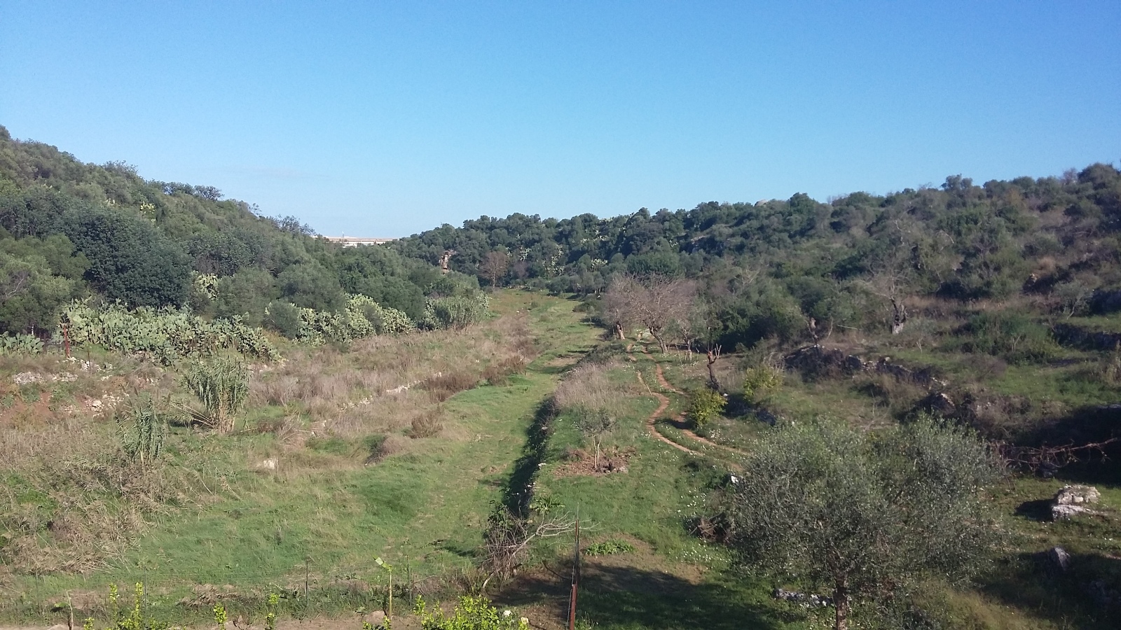
National park of 118,100 hectares in Italy, established in 1991.
Overview
National park of 118,100 hectares in Italy, established in 1991.
Gargano National Park is located in Italy (Europe). It is a predominantly terrestrial area. Established in 1991, it covers about 118,100 hectares.
Protections and designations
UNESCO World Heritage
Natura 2000 · habitats (SAC) · 15 sites
- Bosco Jancuglia - Monte Castello IT9110027
- Bosco Quarto - Monte Spigno IT9110030
- Castagneto Pia, Lapolda, Monte la Serra IT9110024
- Duna e Lago di Lesina - Foce del Fortore IT9110015
- Foresta Umbra IT9110004
- Isola e Lago di Varano IT9110001
- and 9 more
Natura 2000 · birds (SPA) · 8 sites
- Castagneto Pia, Lapolda, Monte la Serra IT9110024
- Laghi di Lesina e Varano IT9110037
- Manacore del Gargano IT9110025
- Monte Calvo - Piana di Montenero IT9110026
- Paludi presso il Golfo di Manfredonia IT9110038
- Pineta Marzini IT9110016
- and 2 more
Protected as a national park. International labels and designations: UNESCO World Heritage (“Ancient and Primeval Beech Forests of the Carpathians and Other Regions of Europe”) and Natura 2000 network (18 sites). Key dates: established in 1991, first Natura 2000 site under the Birds Directive in 2006 and World Heritage listing in 2017.
In our collections
Timeline
-
1991
Established
-
2006
First Natura 2000 site under the Birds Directive 4 such sites designated up to 2013
-
2017
Inscribed as a UNESCO World Heritage Site Ancient and Primeval Beech Forests of the Carpathians and Other Regions of Europe
Sources: Wikidata (CC0) for establishment and international labels; EEA Natura 2000 database (CC-BY 4.0) for site designation dates.
Frequently asked questions
Where is Gargano National Park?
In Italy (Europe). Representative point: 41.8061° N, 15.9250° E.
How large is Gargano National Park?
About 118,100 hectares (1,181 km²). It is the 5th largest of the 26 national parks in Italy covered by Parkavela. About 10,500 ha are at sea.
When was Gargano National Park established?
In 1991.
What habitats and landscapes does Gargano National Park include?
A terrestrial area, with forests, mountains and coasts.
What rocks lie beneath Gargano National Park?
According to the European 1:1 million geological map (EGDI), the bedrock consists mainly of limestones (73% of sampled points) and unconsolidated deposits (20%). These are mostly sedimentary rocks. The geological units date mainly from the Jurassic (73% of sampled points).
What is the highest point of Gargano National Park?
Monte Calvo, at 1,056 m (OpenStreetMap).
What are the main summits of Gargano National Park?
Monte Calvo (1,056 m), Montenero (1,015 m), Monte Spigno (1,008 m), Monte Croce (983 m) and Monte Calvello (949 m) (OpenStreetMap).
Which international labels apply to Gargano National Park?
UNESCO World Heritage (“Ancient and Primeval Beech Forests of the Carpathians and Other Regions of Europe”) and Natura 2000 network (18 sites).
When is the best time to visit Gargano National Park?
Best time to visit: from April to October, with average temperatures of 11 to 24 °C and moderate rainfall.
What is there to see in Gargano National Park?
51 viewpoints, 30 lakes and ponds, 1 natural arch, 44 caves and 1 bird hide, including Area panoramica Coppa L'Arena (939 m), Canale Schiapparo, L'Architiello and Grava di Zazzano (680 m) (OpenStreetMap).
Where can I stay in Gargano National Park?
1 mountain hut and 42 campsites, including Casa Natura, Area Camper Lo Chalet del Gargano and Camping Funni (OpenStreetMap).
Are there historic monuments in Gargano National Park?
Yes. According to Wikidata, 35 monuments protected as Italian national cultural heritage stand within the boundary. For example: “Abbazia della Santissima Trinità di Monte Sacro” in Mattinata, “Castelpagano” in Apricena and “Collezione "Matteo Sansone"” in Mattinata.
Can you swim in Gargano National Park?
188 monitored bathing sites lie in or within 1 km of the site; official 2025 classification: 188 excellent (European Environment Agency). Swimming is only permitted at the sites and times authorised locally.
What is the nearest large city to Gargano National Park?
Nearest towns of over 50,000 people, as the crow flies: Manfredonia (2 km) and Foggia (21 km). Nearest airport: Bari Karol Wojtyła (BRI), about 85 km away.
How can I reach Gargano National Park by train?
The nearest railway station is Chieuti-Serracapriola, about 5 km from the site boundary.
Where can I get visitor information on site?
Foresta Umbra Visitor Center, Ufficio Pellegrinaggi and Segreteria del Pellegrino (visite guidate).
Are there waymarked hiking trails in Gargano National Park?
Yes. Waymarked hiking routes listed in OpenStreetMap: 18, including Via Francigena, Con le ali ai piedi and Sentiero dei Pellegrini di San Michele Arcangelo. The “VF · Via Francigena - Variante Micaelica e Litorale” route runs for about 52 km through the site, with some 250 m of ascent on its longest section.
Which species can be seen in Gargano National Park?
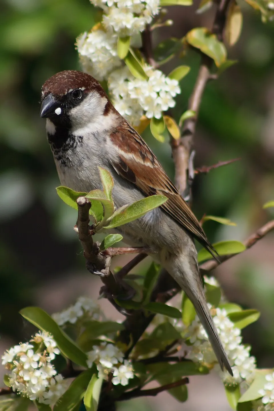
Among the species most often recorded on GBIF are Larus michahellis (Yellow-legged Gull), Passer italiae (Italian Sparrow), Corvus cornix (Hooded Crow) and Pistacia lentiscus (Mastic Tree).
What is the official website of Gargano National Park?
© OpenStreetMap
Download the boundary: GeoJSON · GPX Boundary © OpenStreetMap contributors (ODbL).
Geography
The representative point of the site lies at around 553 m above sea level. Over the 1996–2025 period, the mean annual temperature is about 14.4 °C and total precipitation reaches roughly 703 mm per year. The warmest month is usually July, the coolest January, and the wettest November. According to the European 1:1 million geological map (EGDI), the bedrock consists mainly of limestones (73% of sampled points) and unconsolidated deposits (20%). These are mostly sedimentary rocks. The geological units date mainly from the Jurassic (73% of sampled points). The site contains 3 lakes larger than 10 ha as well as part of another lake (lago di Lesina), totalling 81.6 km² of water; the largest, lago di Varano, covers 64.2 km² (HydroLAKES). lago di Varano (6,487 ha) is 5 m deep (Wikidata).
Area
- Area
- 118,100 ha
- Elevation
- 553 m
- Median elevation
- 485 m
- Mean slope
- 9°
- Lakes over 10 ha
- 3 (81.6 km²)
- Coordinates
- 41.8061, 15.925
Terrain: Mapzen Terrain Tiles (SRTM, USGS) · Lakes: HydroLAKES (Messager et al. 2016, hydrosheds.org, CC BY 4.0) · depths: Wikidata (CC0)
Elevation bands
- below 500 m 52%
- 500–1,000 m 48%
share of the site in each elevation band (smoothed terrain model: summits are rounded off) · Terrain: Mapzen Terrain Tiles (SRTM, USGS)
Bedrock
- Limestones 73 %
- Unconsolidated deposits 20 %
- Carbonate rocks 7 %
Sedimentary rocks 100 % · Main age: Jurassic (73%)
Source: EGDI 1:1M geological map (EuroGeoSurveys and national geological surveys), CC BY 4.0 · 15 sampled points within the site.
Main summits
- Monte Calvo1,056 m
- Montenero1,015 m
- Monte Spigno1,008 m
- Monte Croce983 m
- Monte Calvello949 m
- Monte Celano874 m
- Monte Sacro872 m
- Coppa Impagnatiello830 m
- Monte Iacotenente830 m
- Coppa Fusillo793 m
Data © OpenStreetMap contributors (ODbL)
Climate
● Mean temperature (°C) · ▮ Precipitation (mm)
Source: Copernicus ERA5-Land (C3S, doi:10.24381/cds.68d2bb30), monthly averages 1996–2025 interpolated to the representative point, temperatures adjusted for elevation.
Contains modified Copernicus Climate Change Service information 2026. Neither the European Commission nor ECMWF is responsible for any use that may be made of the Copernicus information or data it contains.
Natural habitats
According to CORINE Land Cover (2018), the site is mainly made up of forests (41%), farmland (21%) and grassland and meadows (11%). Woodland is mostly broadleaved. The site borders the coast. Elevation ranges from sea level to 1,056 m (highest point: Monte Calvo). Median elevation is 485 m, and 48% of the site lies above 500 m (SRTM elevation model). The 18 Natura 2000 sites overlapping the area list 44 habitats of European interest (10 priority), the most extensive being coastal lagoons, Pannonian-Balkanic turkey oak-sessile oak forests and semi-natural dry grasslands and scrubland facies on calcareous substrates (Festuco-Brometalia) (* important orchid sites).
Biodiversity
Based on occurrences aggregated by GBIF, several species are regularly recorded within the site. Among the most frequent are Larus michahellis (Yellow-legged Gull), Passer italiae (Italian Sparrow), Corvus cornix (Hooded Crow) and Pistacia lentiscus (Mastic Tree). The full list of documented taxa is shown below. The overlapping Natura 2000 sites list 196 species of European interest: 134 birds, 28 mammals, 11 reptiles, 7 amphibians, 3 fish, 9 invertebrates and 4 plants.
Habitats of European interest
From the official forms of the 18 Natura 2000 sites overlapping the area (areas reported for each whole site).
- Coastal lagoons priority 16,254 ha
- Pannonian-Balkanic turkey oak-sessile oak forests 10,633 ha
- Semi-natural dry grasslands and scrubland facies on calcareous substrates (Festuco-Brometalia) (* important orchid sites) 8,803 ha
- Quercus ilex and Quercus rotundifolia forests 7,181 ha
- Apeninne beech forests with Taxus and Ilex priority 6,736 ha
- Eastern sub-Mediterranean dry grasslands (Scorzoneratalia villosae) 4,794 ha
- Mediterranean pine forests with endemic Mesogean pines 4,733 ha
- Pseudo-steppe with grasses and annuals of the Thero-Brachypodietea priority 3,500 ha
and 36 more
Species of European interest
Birds · 134
Eurasian Goshawk (Accipiter gentilis) passage, Eurasian Sparrowhawk (Accipiter nisus) breeding resident wintering, Great Reed Warbler (Acrocephalus arundinaceus) passage, Moustached Warbler (Acrocephalus melanopogon) resident, Aquatic warbler (Acrocephalus paludicola) passage, Eurasian Skylark (Alauda arvensis) breeding resident, Common Kingfisher (Alcedo atthis) wintering breeding resident, Northern Pintail (Anas acuta) wintering, Eurasian Teal (Anas crecca) resident wintering, Greater white-fronted goose (Anser albifrons) wintering, Greenland White-fronted Goose (Anser albifrons flavirostris) passage, Taiga bean goose (Anser fabalis) wintering passage and 122 more
Mammals · 28
Barbastelle (Barbastella barbastellus), Grey wolf (Canis lupus), Serotine bat (Eptesicus serotinus), European wildcat (Felis silvestris), Savi's Pipistrelle (Hypsugo savii), Eurasian otter (Lutra lutra), European pine marten (Martes martes), Common bent-wing bat (Miniopterus schreibersii), Hazel dormouse (Muscardinus avellanarius), Western Polecat (Mustela putorius), Bechstein's bat (Myotis bechsteinii), Lesser mouse-eared myotis (Myotis blythii) and 16 more
Reptiles · 11
Loggerhead sea turtle (Caretta caretta), Smooth snake (Coronella austriaca), Four-lined snake (Elaphe quatuorlineata), European Pond Turtle (Emys orbicularis), Western Whip Snake (Hierophis viridiflavus), Green lizard (Lacerta viridis), Dice snake (Natrix tessellata), Common wall lizard (Podarcis muralis), Italian wall lizard (Podarcis siculus), Hermann's tortoise (Testudo hermanni), Italian Aesculapian Snake (Zamenis lineatus)
Amphibians · 7
Apennine Yellow-bellied Toad (Bombina pachypus), Green Toad (Bufotes viridis complex), Italian Tree Frog (Hyla intermedia), Italian newt (Lissotriton italicus), Edible frog (Pelophylax esculentus), Agile frog (Rana dalmatina), Italian crested newt (Triturus carnifex)
Fish · 3
Italian bleak (Alburnus albidus), Mediterranean killifish (Aphanius fasciatus), Adriatic dwarf goby (Knipowitschia panizzae)
Invertebrates · 9
Greater Capricorn Beetle (Cerambyx cerdo), Southern damselfly (Coenagrion mercuriale), Marsh fritillary (Euphydryas aurinia), Jersey Tiger (Euplagia quadripunctaria), Italian Marbled White (Melanargia arge), Rhysodes sulcatus, Common Predatory Bush-cricket (Saga pedo), Narrow-mouthed whorl snail (Vertigo angustior), Southern Festoon (Zerynthia polyxena)
Plants · 4
Snowdrop (Galanthus nivalis), Seashore mallow (Kosteletzkya pentacarpos), Butcher's-broom (Ruscus aculeatus), Stipa austroitalica
Source: Natura 2000 standard data forms (EEA, CC-BY 4.0). Not exhaustive: sensitive species are not published.
Species to look out for

Bird
Hooded Crow
Corvus cornix207 records © Ricardo Tulio Gandelman from Rio de Janeiro, Brazil · CC BY 2.0
Plant
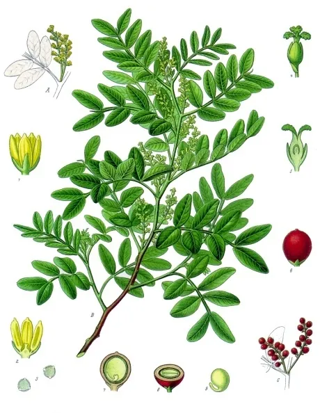
Mastic Tree
Pistacia lentiscus181 records © Franz Eugen Köhler, Köhler's Medizinal-Pflanzen · Public domain
Observed species
Occurrences documented via GBIF; they are neither an exhaustive inventory nor proof of current presence.
- Yellow-legged Gull · Larus michahellis · 245
- Italian Sparrow · Passer italiae · 219
- Hooded Crow · Corvus cornix · 207
- Mastic Tree · Pistacia lentiscus · 181
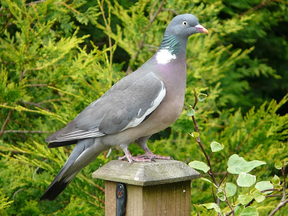
- Common Wood Pigeon · Columba palumbus · 177
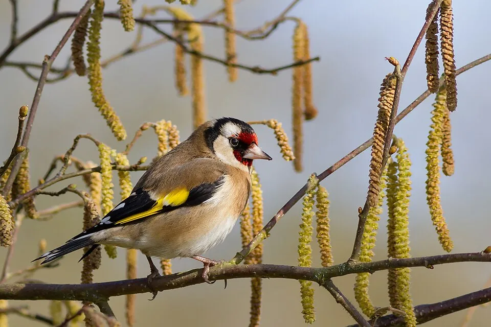
- European Goldfinch · Carduelis carduelis · 165
- Barn Swallow · Hirundo rustica · 157
- European Serin · Serinus serinus · 151
- Sardinian Warbler · Curruca melanocephala · 144
- Eurasian Chaffinch · Fringilla coelebs · 135
- European robin · Erithacus rubecula · 131
- Early spider-orchid · Ophrys sphegodes · 129
+18 more species
- Sawfly orchid · Ophrys tenthredinifera · 115
- Common Kestrel · Falco tinnunculus · 114
- Western Jackdaw · Coloeus monedula · 113
- Western Marsh Harrier · Circus aeruginosus · 111
- Eurasian Magpie · Pica pica · 107
- Eurasian Collared Dove · Streptopelia decaocto · 105
- Alpine Swift · Tachymarptis melba · 103
- Great Cormorant · Phalacrocorax carbo · 100
- Butterfly orchid · Anacamptis papilionacea · 100
- Grey Heron · Ardea cinerea · 99
- Spanish Sparrow · Passer hispaniolensis · 98
- Common Blackbird · Turdus merula · 96
- Peregrine Falcon · Falco peregrinus · 93
- Pallid Swift · Apus pallidus · 92
- Yellow Ophrys · Ophrys lutea · 88
- Naked-man Orchid · Orchis italica · 87
- White Wagtail · Motacilla alba · 87
- Great tit · Parus major · 83
Records: GBIF.org (CC-BY). Names: Wikidata (CC0), GBIF. Photos: Wikimedia Commons.
Conservation challenges
The primary purpose of the site is to preserve its natural habitats and the biodiversity they support. The species recorded (Biodiversity tab) reflect its ecological value. The designations it holds frame its management and the control of land use.
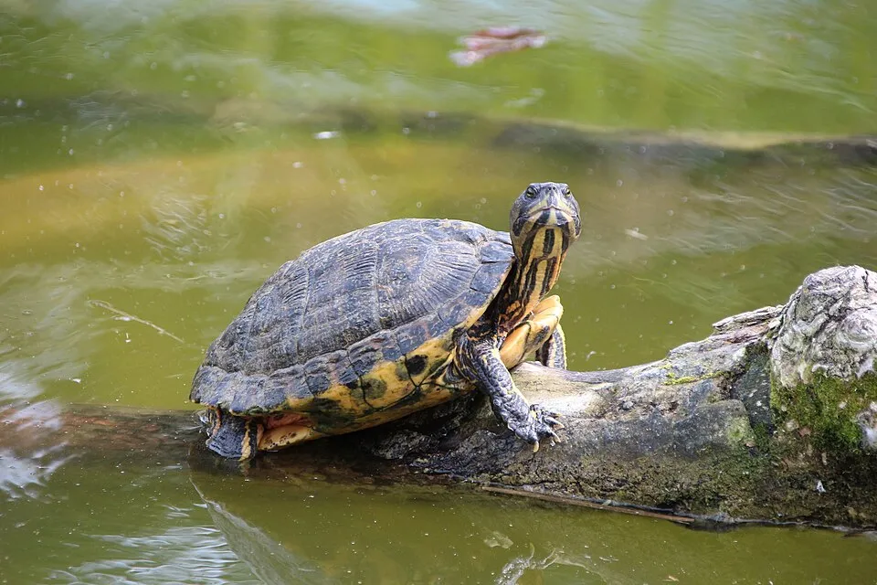
According to Global Forest Change data (University of Maryland, Global Forest Watch), about 1,910 ha of tree cover were lost within the boundary between 2001 and 2023 (2% of its area), peaking in 2007 and 2008. These losses include logging, storms and fires, and do not account for regrowth. According to the European CORINE Land Cover inventory (Copernicus), land cover changed on about 1,100 ha of the site between 1990 and 2018 (under 1% of its area): forest shrank by 859 ha, mostly giving way to open natural land, while open natural land grew by 772 ha, mostly at the expense of forest. Forest felling and regrowth add about 1,520 ha in total over the period. Since 2016, the European EFFIS system (Copernicus) has mapped 98 fires here, burning about 8,579 ha within the boundary; the largest, in July 2025 (near Manfredonia), covered 804 ha. At night, 10% of the area gives off artificial light detectable from space (NASA VIIRS Black Marble composite, 2016). According to the Natura 2000 forms, of 44 assessed habitats of European interest, 27 are in excellent condition and 2 in average or reduced condition. According to the Water Framework Directive assessment (2022 river basin management plans, data 2016–2018), none of the 27 km of rivers assessed within the site reaches good ecological potential; they mostly have poor ecological potential. Other assessed water bodies: lagoons and estuaries, 0 of 4 in good ecological status or better; coastal waters, 6 of 8 in good ecological status or better. Since 2000, 11 invasive alien species have been recorded within the site (GBIF observations), 3 of them listed as of Union concern under EU Regulation 1143/2014. Among them: Ailanthus altissima (Tree-of-heaven), Trachemys scripta (Pond slider) and Broussonetia papyrifera (Paper mulberry).
Pressure indicators
Tree cover lost
1,910 ha
2001–2023 · 2% of the area
20012023
Fires since 2016
8,579 ha
burned within the boundary (98 mapped fires)
- 2025 · Manfredonia · 804 ha
- 2023 · Monte Sant'Angelo · 584 ha
- 2025 · San Giovanni Rotondo · 573 ha
Light at night
10%
of the area gives off artificial light visible from space
DarkLit
Built-up land
< 1%
buildings, business areas, roads, quarries · farmland 21%
Land cover change
1,100 ha
changed cover, 1990–2018 · CORINE · < 1% of the area
- −859 ha · forest
- +772 ha · open natural land
forest felling and regrowth: 1,520 ha in total
Rivers and lakes
0%
of the 27 km of assessed rivers at good or high ecological potential (mostly heavily modified water bodies) · WFD 2022
Lagoons and estuaries: 0 of 4 good or better
Coastal waters: 6 of 8 good or better
assessments 2016–2018
Invasive alien species
11
incl. 3 of EU concern · since 2000
 Tree-of-heavenEU
 Pond sliderEU
 Paper mulberryEU
 Bermuda buttercup
 Mute Swan
 Russian olive
 American century plant
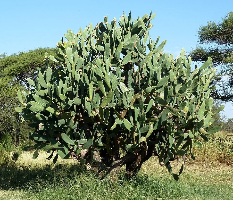 Tuna Cactus
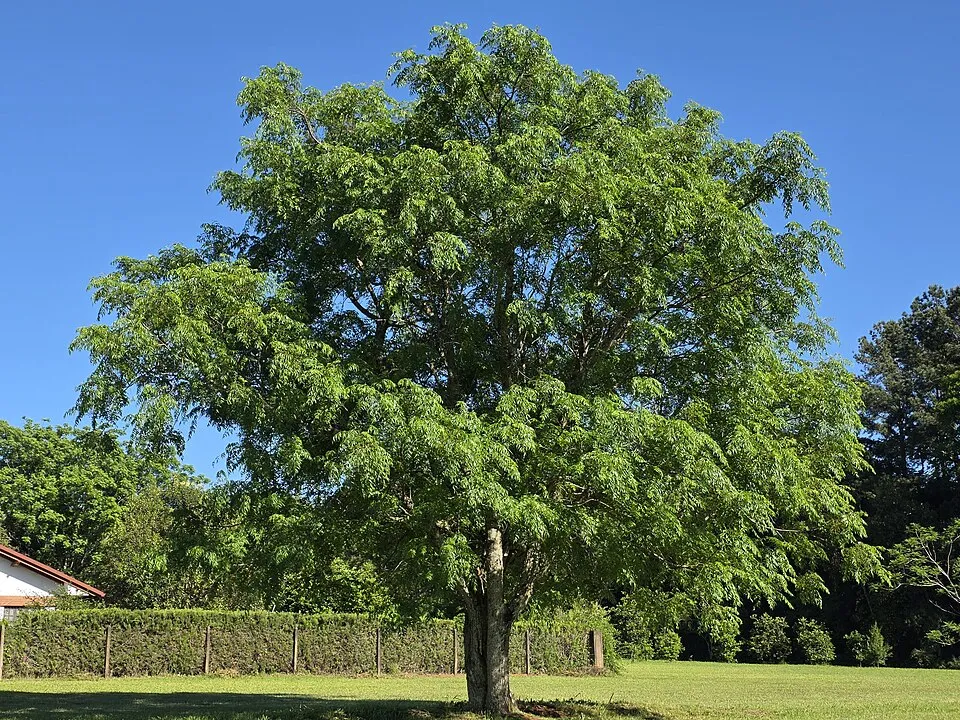
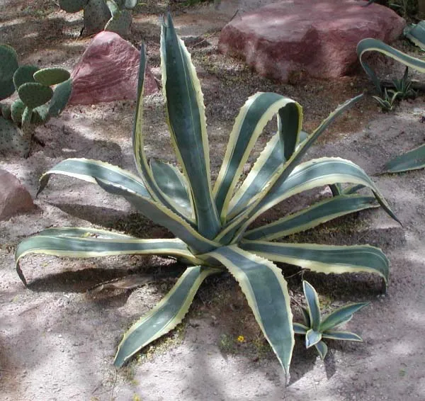
Photos: Tree-of-heaven © Darkone · CC BY-SA 2.5; Pond slider © Viva.Chelonia · CC BY 2.0; Paper mulberry © Didier Descouens · CC BY-SA 4.0; Bermuda buttercup © MathKnight and Zachi Evenor אביר המתמטיקה וצחי אבנור · CC BY-SA 4.0; Mute Swan © Geni · CC BY-SA 4.0; Russian olive © Horacio Cambeiro · CC BY-SA 4.0; American century plant © Stan Shebs · CC BY-SA 3.0; Tuna Cactus © JMK · CC BY-SA 3.0
Sources: Global Forest Change (Hansen et al., University of Maryland, via Global Forest Watch, CC-BY 4.0); EFFIS, European Commission / Copernicus; NASA Black Marble 2016 (public domain); CORINE Land Cover 2018 (Copernicus) or MODIS.
CORINE Land Cover Change 1990–2018: generated using European Union's Copernicus Land Monitoring Service information (EEA), aggregated by Parkavela; DOI 10.2909/f30f1000-7cf8-43bb-872c-5eb093911b24.
Ecological status of water bodies: European Environment Agency, WISE – Water Framework Directive, 3rd river basin management plans (2022), CC BY 4.0. Official national classification, not comparable between countries.
Invasive alien species: Global Register of Introduced and Invasive Species (ISSG, CC BY 4.0); Union list, Regulation (EU) 1143/2014 (INBO, CC0); GBIF.org records (CC0 / CC BY 4.0), at least 2 per species.
Practical information
Cities and airport
- Manfredonia
2 km as the crow flies - Foggia
21 km as the crow flies - Airport: Bari Karol Wojtyła (BRI)
85 km as the crow flies
Visitor information
- Foresta Umbra Visitor Center
within the site - Ufficio Pellegrinaggi
within the site - Segreteria del Pellegrino (visite guidate)
within the site - Oasi Lago Salso
within the site
Parking
114 public car parks listed within the site
BelvedereChiesa Santa Maria di PulsanoSan MicheleParcheggio Custodito
Things to see
51 viewpoints · 30 lakes and ponds · 1 natural arch · 44 caves · 1 bird hide
- Area panoramica Coppa L'Arena
viewpoint · 939 m - Canale Schiapparo
lake or pond - L'Architiello
natural arch - Grava di Zazzano
cave · 680 m - Area Panoramica Coppa d'incero
viewpoint · 900 m
Where to stay
1 mountain hut · 42 campsites
- Casa Natura
Staffed hut - Area Camper Lo Chalet del Gargano
campsite - Camping Funni
campsite - Camping Uria
campsite - Camping Valle D'oro
campsite
Hiking
18 waymarked routes listed, including:
Via FrancigenaCon le ali ai piediSentiero dei Pellegrini di San Michele Arcangelo
Wheelchair access
- Oasi Lago Salso
visitor information
accessible toilets: 2
Reported by OpenStreetMap contributors (ODbL); check with the park before visiting.
Data © OpenStreetMap contributors (ODbL) · Wikidata (CC0)
Waymarked hiking routes
VF Via Francigena - Variante Micaelica e Litorale
52.2 km within the site ↗ 247 m↘ 504 m 463–860 m
CAP Con le ali ai piedi - 25
20.2 km within the site ↗ 174 m↘ 455 m 464–860 m
Sentiero dei Pellegrini di San Michele Arcangelo
31.3 km within the site ↗ 815 m↘ 342 m 139–811 m
CdP29 Cammino della Pace - Tappa 29
20.2 km within the site ↗ 242 m↘ 484 m 463–861 m
CdP27 Cammino della Pace - Tappa 27
8.3 km within the site ↗ 178 m↘ 231 m 645–878 m
Tracks © OpenStreetMap contributors (ODbL), clipped to the boundary; elevation gain and profiles computed on the longest section from Mapzen Terrain Tiles (≈ 30 m), indicative only.
Bathing
188 monitored bathing sites in or within 1 km of the site · 2025 classification
Excellent · 188
- 1 - da Foce Capoiale Verso Foce Varano · estuary or lagoon · Excellent
- 1 Canale - 30m. Sx della Foce · sea · Excellent
- 1 Canale Camping Dei Fiori 30 Mt Dx · sea · Excellent
- 1000 Mt A Dx di Torre di Porticello · sea · Excellent
- 1000 MT A DX P. 119 · estuary or lagoon · Excellent
- 1000 MT A DX P. 131 · estuary or lagoon · Excellent
- 1000 MT A DX P. 134 · estuary or lagoon · Excellent
- 1000 MT A DX P. 158 · sea · Excellent
- 1000 MT A DX P. 173 · sea · Excellent
- 1000 MT A DX P. 24 · sea · Excellent
and 178 more
Source: European Environment Agency, official bathing water classification (Directive 2006/7/EC, CC-BY 4.0). Swimming is only permitted at the sites and times authorised locally.
Access and visiting
The nearest railway station is Chieuti-Serracapriola, about 5 km from the site boundary. Nearest towns of over 50,000 people, as the crow flies: Manfredonia (2 km) and Foggia (21 km). Nearest airport: Bari Karol Wojtyła (BRI), about 85 km away. About 220,000 people live within 20 km of the site boundary, 120,000 of them within 10 km; some 60,000 people are estimated to live inside (GHSL estimate, 2020). This population has fallen by about 12% since 2000. Visitor information on site: Foresta Umbra Visitor Center, Ufficio Pellegrinaggi and Segreteria del Pellegrino (visite guidate). Public car parks listed within the site: 114, including Belvedere, Chiesa Santa Maria di Pulsano and San Michele. Waymarked hiking routes listed in OpenStreetMap: 18, including Via Francigena, Con le ali ai piedi and Sentiero dei Pellegrini di San Michele Arcangelo. OpenStreetMap contributors list one wheelchair-accessible place: Oasi Lago Salso; check with the park before visiting. To see: 51 viewpoints, 30 lakes and ponds, 1 natural arch, 44 caves and 1 bird hide, including Area panoramica Coppa L'Arena (939 m), Canale Schiapparo, L'Architiello and Grava di Zazzano (680 m). Where to stay: 1 mountain hut and 42 campsites, including Casa Natura, Area Camper Lo Chalet del Gargano and Camping Funni. To plan a visit (access, opening periods, visitor rules), it is best to consult the official information from the managing body and the official website listed in this page's sources.
Source: OpenStreetMap (ODbL), Wikidata (CC0), October 2026.
Built heritage
According to Wikidata, 35 monuments protected as Italian national cultural heritage stand within the boundary. Among them are 10 castles and fortifications, 9 religious buildings and 7 houses and civic buildings. Examples include “Abbazia della Santissima Trinità di Monte Sacro” in Mattinata, “Castelpagano” in Apricena and “Collezione "Matteo Sansone"” in Mattinata.
10 castles and fortifications9 religious buildings7 houses and civic buildings4 prehistoric and archaeological sites1 bridge, lighthouse, mill or working building
-
Abbazia della Santissima Trinità di Monte Sacro
Mattinata -
Castelpagano
Apricena -
Collezione "Matteo Sansone"
Mattinata -
Museo biografico di Padre Pio
San Giovanni Rotondo -
Fontana vecchia di Santa Maria Pura
Vico del Gargano -
Battistero medievale "Tomba di Rotari
Monte Sant'Angelo -
Saint Mary of Càlena abbey
Peschici -
Castello di Monte Sant'Angelo
Monte Sant'Angelo
and 27 more
Source: Wikidata (CC0), monuments in each country’s official heritage protection registers, at national or regional level. Each item links to its Wikidata entry.
When to visit
Best time to visit: from April to October, with average temperatures of 11 to 24 °C and moderate rainfall. These averages apply to the site's representative point (553 m); higher up it is markedly cooler. Day length ranges from about 9 h 09 min in December to 15 h 12 min in June. Wildlife records published on GBIF peak for birds (January), plants (April), butterflies and moths (April), dragonflies (September) and mammals (December). These peaks also reflect when observers are most active.
Source: Copernicus ERA5-Land (C3S), monthly averages 1996–2025 at the representative point, temperatures adjusted for elevation.
Contains modified Copernicus Climate Change Service information 2026. Neither the European Commission nor ECMWF is responsible for any use that may be made of the Copernicus information or data it contains.
Wildlife records calendar
JFMAMJJASOND
Birds
Plants
Butterflies & moths
Dragonflies
Mammals
Monthly records published on GBIF (CC-BY), relative to the busiest month; also reflects observer activity.
Gallery
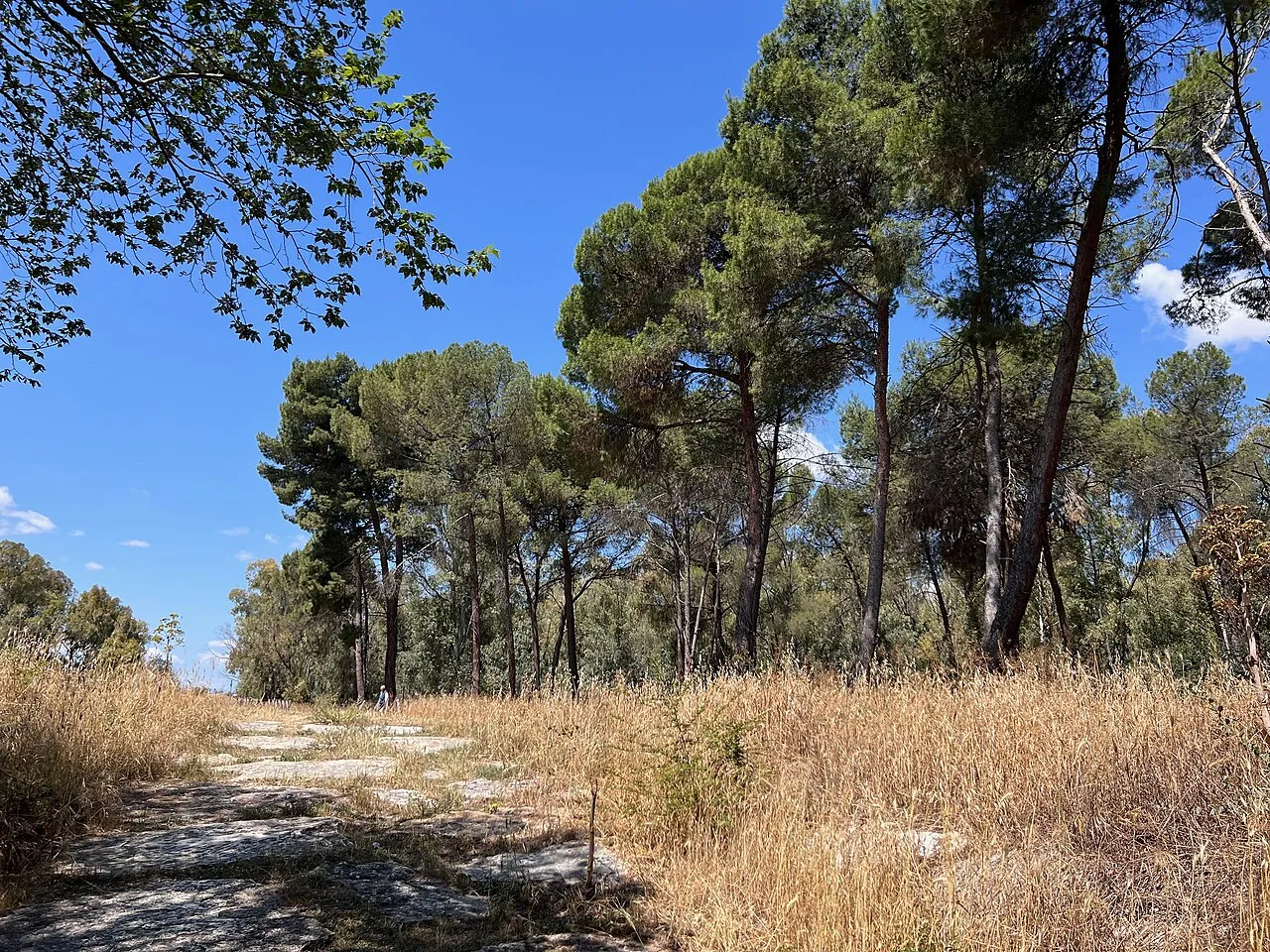
© Raboe001 · CC BY-SA 3.0
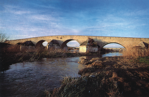
© Mboesch · CC BY-SA 4.0
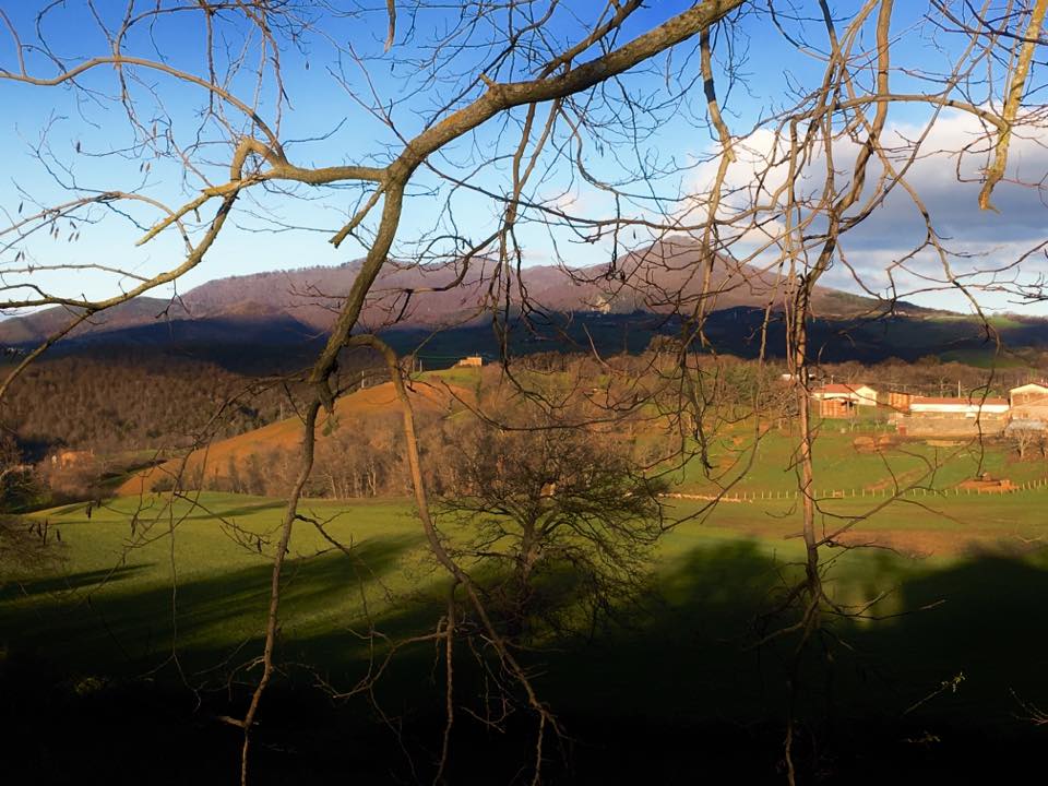
© Jules Verne Times Two · CC BY-SA 4.0
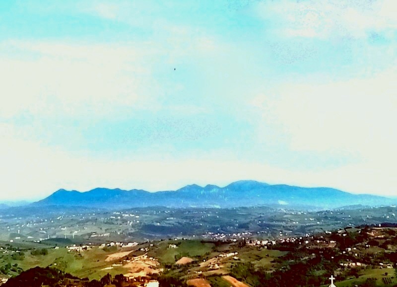
© Nella Laquintana · CC BY-SA 4.0
© Matteo Nuzziello · CC BY-SA 4.0
© NearEMPTiness · Public domain
Sources and licences
- Wikidata: Q382227
- OpenStreetMap: relation 3349251
- Official website: http://www.parcogargano.it/
- Wikipedia: en.wikipedia.org/wiki/Gargano_National_Park
- WDPA: 63641
References
- cds.climate.copernicus.eu: climate · CC-BY-4.0
- registry.opendata.aws: elevation of the reference point, detailed relief · PD
- land.copernicus.eu: land cover, land cover change, sea share · COPERNICUS
- doi.org: population around the site · CC-BY-4.0
- wikidata.org: official area, establishment date, protected heritage, nearby cities and airport, access and peaks, lake depths, places to see, official website · CC0-1.0
- eea.europa.eu: bathing water quality, ecological status of waters · CC-BY-4.0
- en.eurovelo.com: EuroVelo cycle routes · ODbL-1.0
- cycling.waymarkedtrails.org: cycle routes · ODbL-1.0
- opentopodata.org: elevations · PD
- forest-fire.emergency.copernicus.eu: wildfires · COPERNICUS
- globalforestwatch.org: tree cover loss · CC-BY-4.0
- gbif.org: seasonality of sightings, invasive alien species, observed species · CC-BY-4.0
- europe-geology.eu: geology · CC-BY-4.0
- hydrosheds.org: lakes · CC-BY-4.0
- natura2000.eea.europa.eu: Natura 2000 habitats and species · CC-BY-4.0
- openstreetmap.org: official name, access and peaks, places to see, trail difficulty, wheelchair access · ODbL-1.0
- earthobservatory.nasa.gov: night light · PD
- hiking.waymarkedtrails.org: route difficulty · ODbL-1.0
- nsidc.org: snow cover · PD
- wikidata.org: Wikipedia article · CC-BY-SA-4.0
Data © OpenStreetMap contributors (ODbL), Wikidata (CC0) and the sources cited.