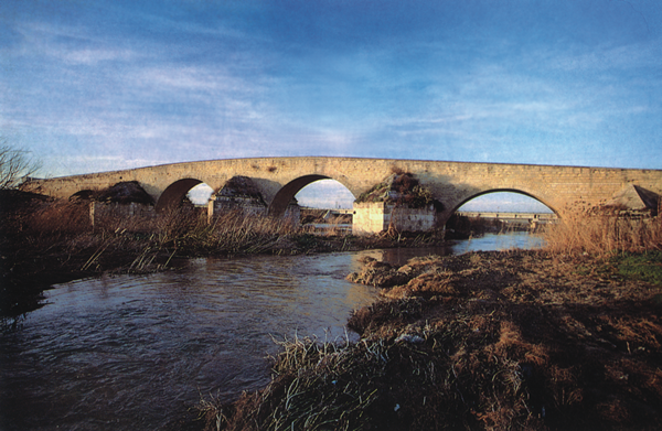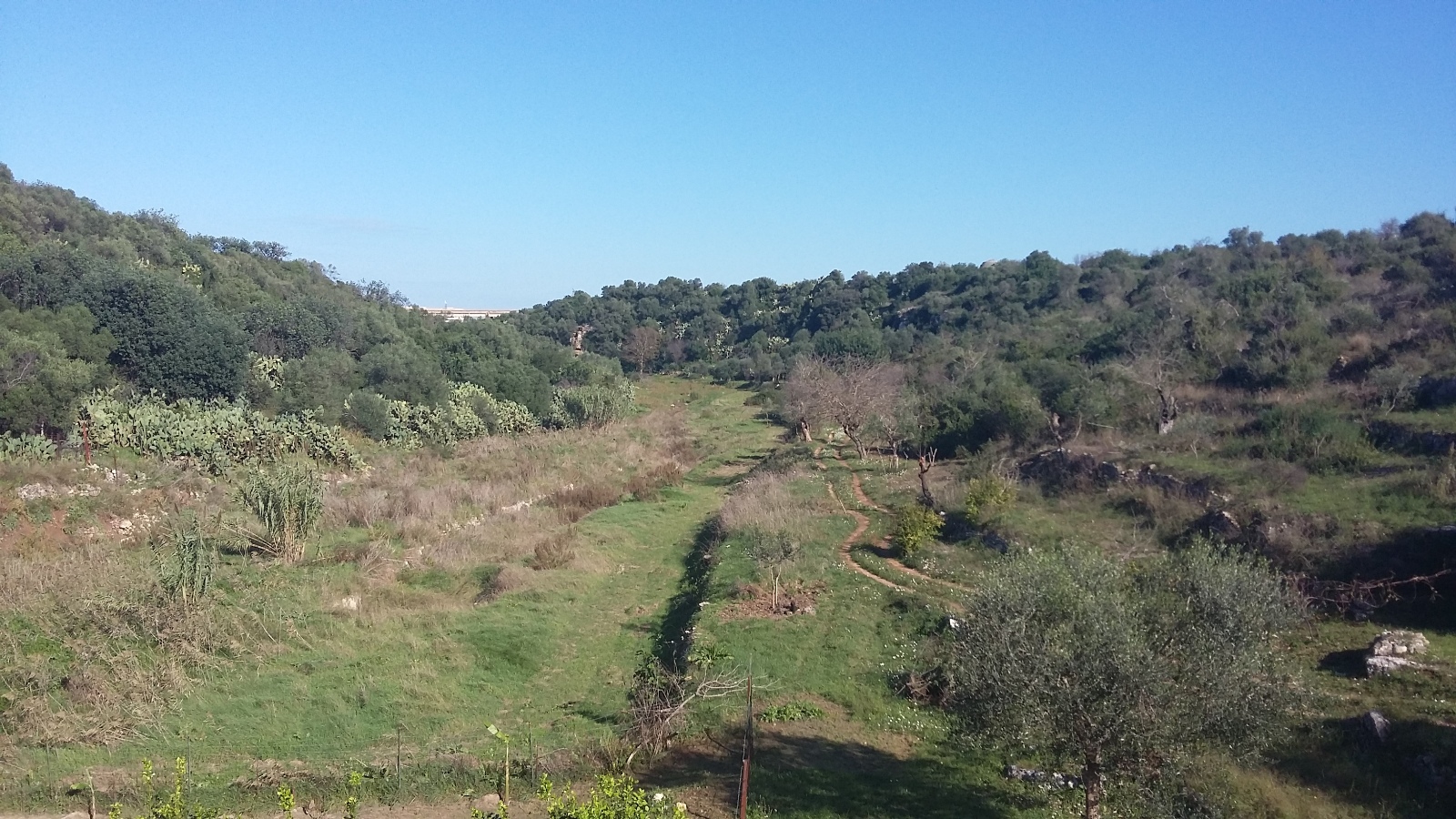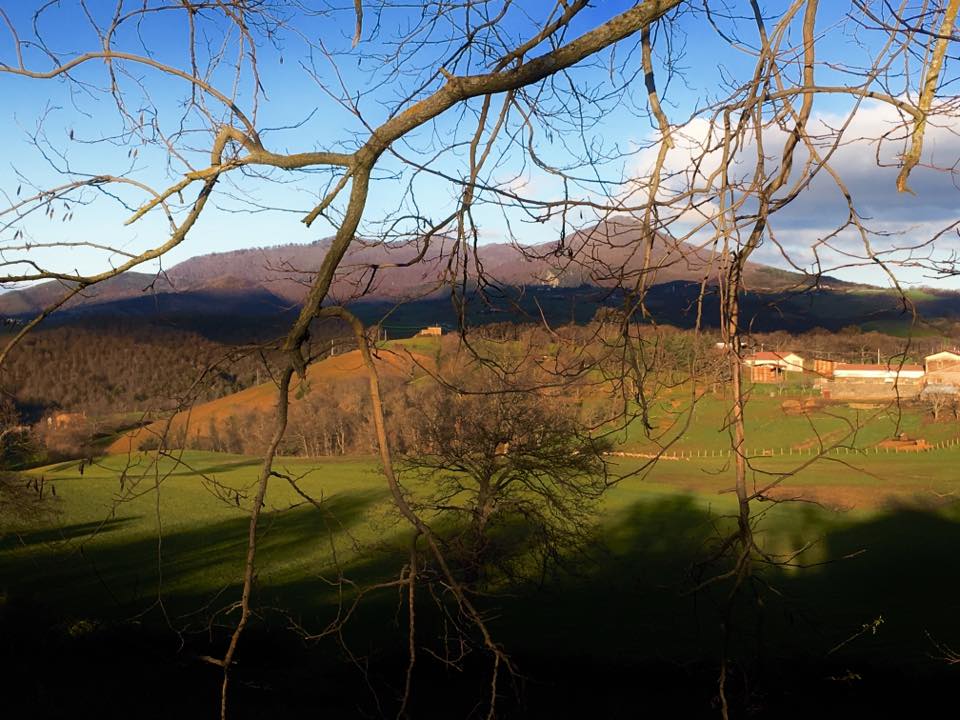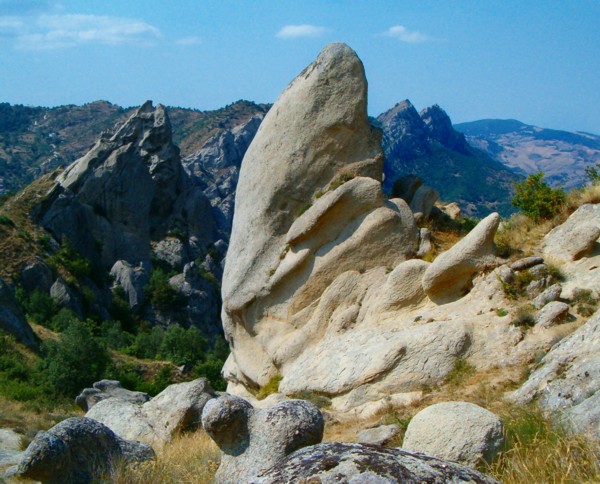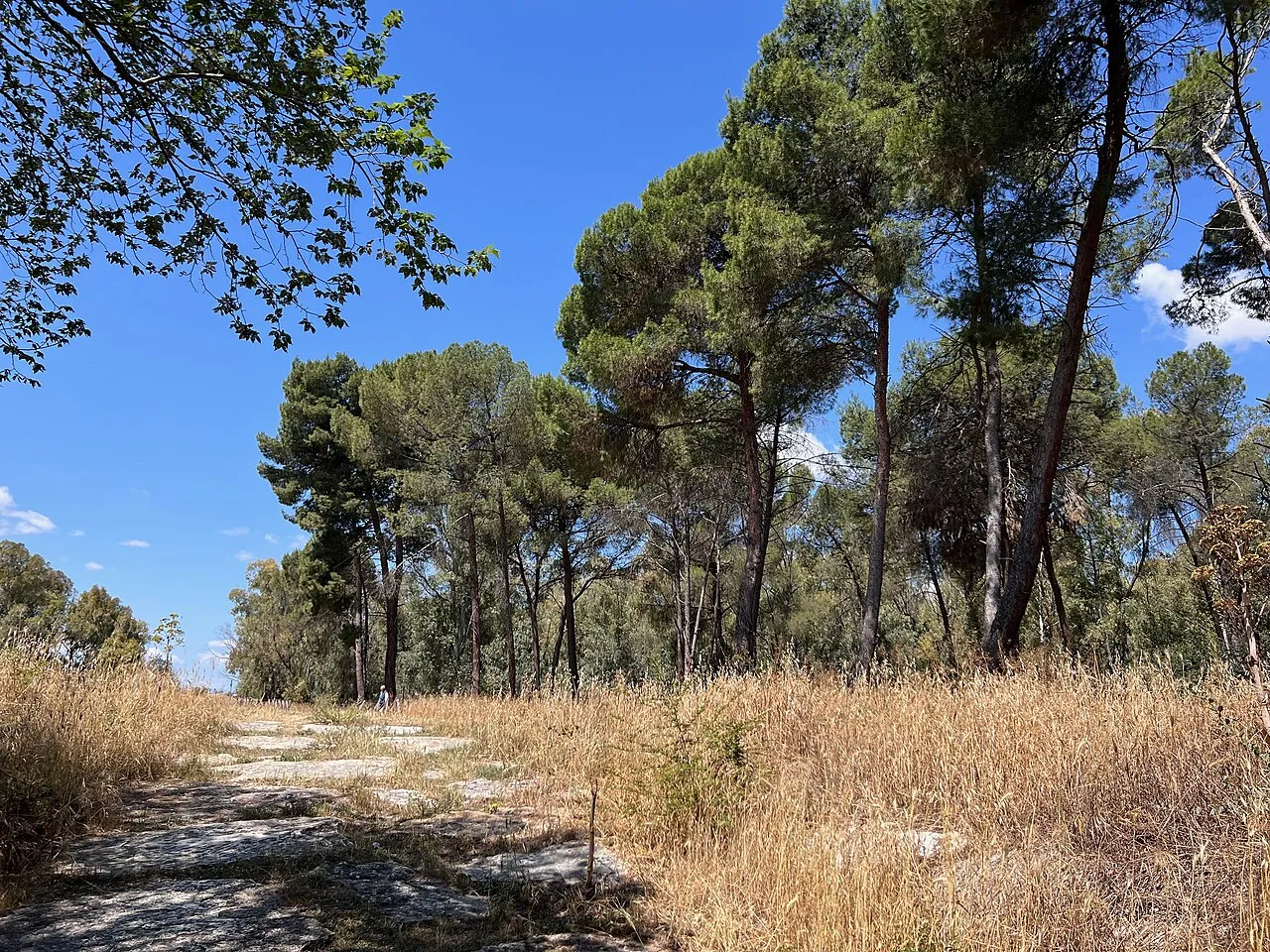
Italy · Terrestrial
Alta Murgia National Park
National park of 68,030 hectares in Italy, established in 2004.
Overview
National park of 68,030 hectares in Italy, established in 2004.
Alta Murgia National Park is located in Italy (Europe). It is a predominantly terrestrial area. Established in 2004, it covers about 68,030 hectares.
Protections and designations
Natura 2000 · habitats (SAC)
- Murgia Alta IT9120007
Natura 2000 · birds (SPA)
- Murgia Alta IT9120007
Protected as a national park. International labels and designations: Natura 2000 network (1 site: “Murgia Alta”). Key dates: first Natura 2000 site under the Birds Directive in 1998 and established in 2004.
In our collections
Timeline
-
1998
First Natura 2000 site under the Birds Directive
-
2004
Established
Sources: Wikidata (CC0) for establishment and international labels; EEA Natura 2000 database (CC-BY 4.0) for site designation dates.
Frequently asked questions
Where is Alta Murgia National Park?
In Italy (Europe). Representative point: 40.9900° N, 16.3700° E.
How large is Alta Murgia National Park?
About 68,030 hectares (680 km²). It is the 14th largest of the 26 national parks in Italy covered by Parkavela.
When was Alta Murgia National Park established?
In 2004.
What habitats and landscapes does Alta Murgia National Park include?
A terrestrial area, where land cover is dominated by farmland (45%).
What rocks lie beneath Alta Murgia National Park?
According to the European 1:1 million geological map (EGDI), the bedrock consists mainly of limestones (100% of sampled points). These are mostly sedimentary rocks. The geological units date mainly from the Jurassic (56% of sampled points).
What is the highest point of Alta Murgia National Park?
Torre Disperata, at 686 m (OpenStreetMap).
What are the main summits of Alta Murgia National Park?
Torre Disperata (686 m), Monte Caccia (680 m), Serra Ficaia (672 m), Murgia di Lamapera (668 m) and Monte Scorzone (668 m) (OpenStreetMap).
Which international labels apply to Alta Murgia National Park?
Natura 2000 network (1 site: “Murgia Alta”).
When is the best time to visit Alta Murgia National Park?
Best time to visit: from May to October, with average temperatures of 14 to 24 °C and moderate rainfall.
What is there to see in Alta Murgia National Park?
15 viewpoints, 5 lakes and ponds and 12 caves, including Belvedere Pulicchio di Gravina, Cisterna Sant'Antonio, Grave Previticelli and Belvedere Pulo di Altamura (OpenStreetMap).
Where can I stay in Alta Murgia National Park?
4 campsites, including L"alto villaggio and Montegusto (OpenStreetMap).
Are there historic monuments in Alta Murgia National Park?
Yes. According to Wikidata, 5 monuments protected as Italian national cultural heritage stand within the boundary. For example: “Castel del Monte” in Andria (UNESCO World Heritage).
What is the nearest large city to Alta Murgia National Park?
Nearest towns of over 50,000 people, as the crow flies: Altamura (5 km) and Andria (12 km). Nearest airport: Bari Karol Wojtyła (BRI), about 24 km away.
How can I reach Alta Murgia National Park by train?
The nearest railway station is Minervino Murge, less than 1 km from the site boundary.
Where can I get visitor information on site?
Centro Visite Lamalunga, Pro Loco Toritto - Quasano and Infopoint.
Are there waymarked hiking trails in Alta Murgia National Park?
Yes. Waymarked hiking routes listed in OpenStreetMap: 16, including Cammino Materano and Via Peuceta. The “Cammino Materano - Via Peuceta” route runs for about 6 km through the site.
Which species can be seen in Alta Murgia National Park?
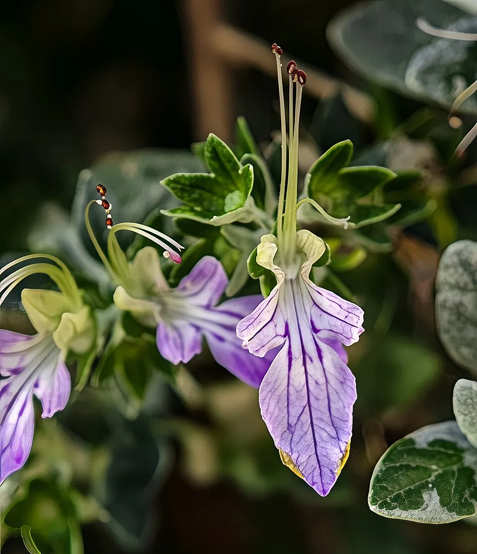
Among the species most often recorded on GBIF are Teucrium fruticans (Shrubby germander), Asphodeline lutea (Yellow Asphodel), Himantoglossum robertianum (Giant orchid) and Pica pica (Eurasian Magpie).
What is the official website of Alta Murgia National Park?
© OpenStreetMap
Download the boundary: GeoJSON · GPX Boundary © OpenStreetMap contributors (ODbL).
Geography
The representative point of the site lies at around 563 m above sea level. Over the 1996–2025 period, the mean annual temperature is about 13.9 °C and total precipitation reaches roughly 645 mm per year. The warmest month is usually July, the coolest January, and the wettest November. According to the European 1:1 million geological map (EGDI), the bedrock consists mainly of limestones (100% of sampled points). These are mostly sedimentary rocks. The geological units date mainly from the Jurassic (56% of sampled points).
Area
- Area
- 68,030 ha
- Elevation
- 563 m
- Median elevation
- 485 m
- Coordinates
- 40.99, 16.37
Terrain: Mapzen Terrain Tiles (SRTM, USGS)
Bedrock
- Limestones 100 %
Sedimentary rocks 100 % · Main age: Jurassic (56%)
Source: EGDI 1:1M geological map (EuroGeoSurveys and national geological surveys), CC BY 4.0 · 16 sampled points within the site.
Main summits
- Torre Disperata686 m
- Monte Caccia680 m
- Serra Ficaia672 m
- Murgia di Lamapera668 m
- Monte Scorzone668 m
- Monte Savignano653 m
- Poggio Senarico651 m
- Monte Lama Torta641 m
- Monte Monacelle615 m
- Monte Fornasiello606 m
Data © OpenStreetMap contributors (ODbL)
Climate
● Mean temperature (°C) · ▮ Precipitation (mm)
Source: Copernicus ERA5-Land (C3S, doi:10.24381/cds.68d2bb30), monthly averages 1996–2025 interpolated to the representative point, temperatures adjusted for elevation.
Contains modified Copernicus Climate Change Service information 2026. Neither the European Commission nor ECMWF is responsible for any use that may be made of the Copernicus information or data it contains.
Natural habitats
According to CORINE Land Cover (2018), the site is mainly made up of farmland (45%), grassland and meadows (38%) and forests (11%). Elevation ranges from about 320 m to 686 m (highest point: Torre Disperata). The Natura 2000 site overlapping the area lists 5 habitats of European interest (1 priority), the most extensive being semi-natural dry grasslands and scrubland facies on calcareous substrates (Festuco-Brometalia) (* important orchid sites), pseudo-steppe with grasses and annuals of the Thero-Brachypodietea and Quercus trojana woods.
Biodiversity
Based on occurrences aggregated by GBIF, several species are regularly recorded within the site. Among the most frequent are Teucrium fruticans (Shrubby germander), Asphodeline lutea (Yellow Asphodel), Himantoglossum robertianum (Giant orchid) and Pica pica (Eurasian Magpie). The full list of documented taxa is shown below. The overlapping Natura 2000 site lists 59 species of European interest: 42 birds, 7 mammals, 6 reptiles, 2 amphibians, 1 invertebrate and 1 plant.
Habitats of European interest
From the official form of the Natura 2000 site overlapping the area (areas reported for the whole site).
- Semi-natural dry grasslands and scrubland facies on calcareous substrates (Festuco-Brometalia) (* important orchid sites) 33,988 ha
- Pseudo-steppe with grasses and annuals of the Thero-Brachypodietea priority 25,176 ha
- Quercus trojana woods 25,176 ha
- Calcareous rocky slopes with chasmophytic vegetation 7,553 ha
- Caves not open to the public
Species of European interest
Birds · 42
Eurasian Sparrowhawk (Accipiter nisus) breeding, Eurasian Skylark (Alauda arvensis) breeding, Tawny Pipit (Anthus campestris) breeding, Long-eared Owl (Asio otus) breeding, Little Owl (Athene noctua) resident, Eurasian Stone-curlew (Burhinus oedicnemus) breeding, Greater Short-toed Lark (Calandrella brachydactyla) breeding, European Nightjar (Caprimulgus europaeus) breeding, Short-toed Snake Eagle (Circaetus gallicus) breeding, Western Marsh Harrier (Circus aeruginosus) wintering, Hen Harrier (Circus cyaneus) wintering, Montagu's Harrier (Circus pygargus) passage and 30 more
Mammals · 7
Serotine bat (Eptesicus serotinus), Crested porcupine (Hystrix cristata), Lesser mouse-eared myotis (Myotis blythii), Greater mouse-eared bat (Myotis myotis), Kuhl's pipistrelle (Pipistrellus kuhlii), Brown long-eared bat (Plecotus auritus), Mediterranean Horseshoe Bat (Rhinolophus euryale)
Reptiles · 6
Smooth snake (Coronella austriaca), Four-lined snake (Elaphe quatuorlineata), Western Whip Snake (Hierophis viridiflavus), Italian wall lizard (Podarcis siculus), Hermann's tortoise (Testudo hermanni), Italian Aesculapian Snake (Zamenis lineatus)
Amphibians · 2
Apennine Yellow-bellied Toad (Bombina pachypus), Green Toad (Bufotes viridis complex)
Invertebrates · 1
Plants · 1
Stipa austroitalica
Source: Natura 2000 standard data forms (EEA, CC-BY 4.0). Not exhaustive: sensitive species are not published.
Species to look out for


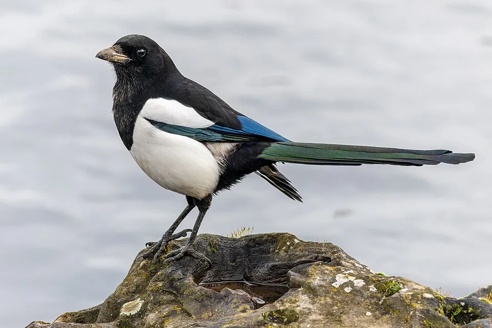

Bird
Hooded Crow
Corvus cornix25 records © Ricardo Tulio Gandelman from Rio de Janeiro, Brazil · CC BY 2.0
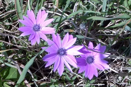
Observed species
Occurrences documented via GBIF; they are neither an exhaustive inventory nor proof of current presence.
- Shrubby germander · Teucrium fruticans · 50
- Yellow Asphodel · Asphodeline lutea · 46
- Giant orchid · Himantoglossum robertianum · 28
- Eurasian Magpie · Pica pica · 26
- Hooded Crow · Corvus cornix · 25
- Broad-leaved anemone · Anemone hortensis · 25
- Common Buzzard · Buteo buteo · 23
- Poet's Cassia · Osyris alba · 23
- Crested Lark · Galerida cristata · 22
- European Goldfinch · Carduelis carduelis · 21
- Italian Sparrow · Passer italiae · 21
- Eurasian Jay · Garrulus glandarius · 20
+18 more species
- Eurasian Collared Dove · Streptopelia decaocto · 18
- Apulian Stone Grasshopper · Prionotropis appula · 18
- Eurasian Chaffinch · Fringilla coelebs · 17
- Squirting Cucumber · Ecballium elaterium · 17
- Great tit · Parus major · 17
- Calandra Lark · Melanocorypha calandra · 16
- Corn Bunting · Emberiza calandra · 15
- Mediterranean Moon Carrot · Seseli tortuosum · 15
- Butterfly orchid · Anacamptis papilionacea · 14
- Winter daffodil · Sternbergia lutea · 14
- Woodlark · Lullula arborea · 13
- Barn Swallow · Hirundo rustica · 13
- Common Kestrel · Falco tinnunculus · 13
- Sardinian Warbler · Curruca melanocephala · 13
- Apulian Saddle Bush-cricket · Ephippiger apulus · 12
- Common Blackbird · Turdus merula · 12
- Common Wood Pigeon · Columba palumbus · 12
- Smooth golden fleece · Urospermum dalechampii · 12
Records: GBIF.org (CC-BY). Names: Wikidata (CC0), GBIF. Photos: Wikimedia Commons.
Conservation challenges
The primary purpose of the site is to preserve its natural habitats and the biodiversity they support. The species recorded (Biodiversity tab) reflect its ecological value. The designations it holds frame its management and the control of land use.
According to Global Forest Change data (University of Maryland, Global Forest Watch), about 91 ha of tree cover were lost within the boundary between 2001 and 2023 (under 1% of its area), peaking in 2007 and 2009. These losses include logging, storms and fires, and do not account for regrowth. According to the European CORINE Land Cover inventory (Copernicus), land cover changed on about 1,800 ha of the site between 1990 and 2018 (3% of its area). Since 2016, the European EFFIS system (Copernicus) has mapped 70 fires here, burning about 11,979 ha within the boundary; the largest, in August 2026 (near Gravina in Puglia), covered 3,137 ha. At night, 4% of the area gives off artificial light detectable from space (NASA VIIRS Black Marble composite, 2016). According to the Natura 2000 forms, of 5 assessed habitats of European interest, 1 is in excellent condition and 1 in average or reduced condition. According to the Water Framework Directive assessment (2022 river basin management plans, data 2016–2018), of the 2 rivers assessed within the site, 1 has moderate ecological status and 1 poor ecological status. Invasive alien species have been recorded within the site since 2000 (GBIF observations), one of them listed as of Union concern. Among them: Ailanthus altissima (Tree-of-heaven) and Myiopsitta monachus (Monk Parakeet).
Pressure indicators
Tree cover lost
91 ha
2001–2023 · < 1% of the area
20012023
Fires since 2016
11,979 ha
burned within the boundary (70 mapped fires)
- 2026 · Gravina in Puglia · 3,137 ha
- 2026 · Altamura · 1,144 ha
- 2026 · Minervino Murge · 607 ha
Light at night
4%
of the area gives off artificial light visible from space
DarkLit
Built-up land
< 1%
buildings, business areas, roads, quarries · farmland 45%
Land cover change
1,800 ha
changed cover, 1990–2018 · CORINE · 3% of the area
Rivers and lakes
0%
of the 29 km of assessed rivers in good or high ecological status · WFD 2022
assessments 2016–2018
Invasive alien species
2
incl. 1 of EU concern · since 2000
 Tree-of-heaven
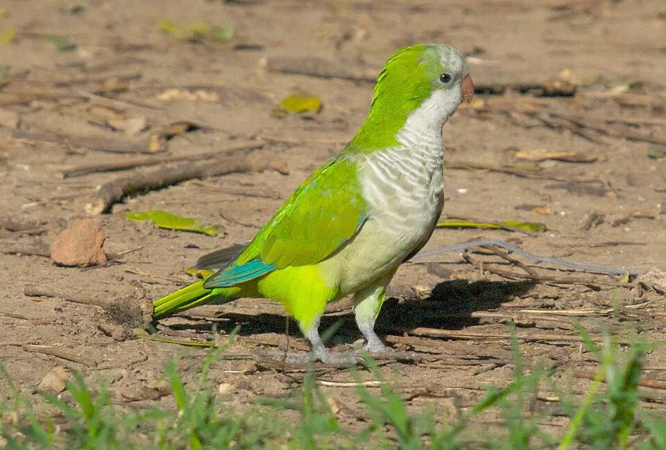 Monk Parakeet
Photos: Tree-of-heaven © Darkone · CC BY-SA 2.5; Monk Parakeet © Kevin Jones · CC BY 2.0
Sources: Global Forest Change (Hansen et al., University of Maryland, via Global Forest Watch, CC-BY 4.0); EFFIS, European Commission / Copernicus; NASA Black Marble 2016 (public domain); CORINE Land Cover 2018 (Copernicus) or MODIS.
CORINE Land Cover Change 1990–2018: generated using European Union's Copernicus Land Monitoring Service information (EEA), aggregated by Parkavela; DOI 10.2909/f30f1000-7cf8-43bb-872c-5eb093911b24.
Ecological status of water bodies: European Environment Agency, WISE – Water Framework Directive, 3rd river basin management plans (2022), CC BY 4.0. Official national classification, not comparable between countries.
Invasive alien species: Global Register of Introduced and Invasive Species (ISSG, CC BY 4.0); Union list, Regulation (EU) 1143/2014 (INBO, CC0); GBIF.org records (CC0 / CC BY 4.0), at least 2 per species.
Practical information
Cities and airport
- Altamura
5 km as the crow flies - Andria
12 km as the crow flies - Airport: Bari Karol Wojtyła (BRI)
24 km as the crow flies
Visitor information
- Centro Visite Lamalunga
within the site - Pro Loco Toritto - Quasano
within the site - Infopoint
within the site - Reception parco
< 1 km from the site boundary
Parking
21 public car parks listed within the site
Things to see
15 viewpoints · 5 lakes and ponds · 12 caves
- Belvedere Pulicchio di Gravina
viewpoint - Cisterna Sant'Antonio
lake or pond - Grave Previticelli
cave - Belvedere Pulo di Altamura
viewpoint - I votani
lake or pond
Hiking
16 waymarked routes listed, including:
Cammino MateranoVia Peuceta
By bike
B02a BARLETTA – CASTEL DEL MONTE – SAN MAGNO · 24 kmB02b MOLFETTA - POGGIORSINI · 23 km
+ 4 local loops
Signed cycle routes: this does not mean that cycling is allowed on footpaths.
Data © OpenStreetMap contributors (ODbL) · Wikidata (CC0)
Routes © OpenStreetMap contributors (ODbL), via Waymarked Trails
Waymarked hiking routes
Cammino Materano - Via Peuceta
5.8 km within the site ↗ 29 m↘ 59 m 423–481 m
Tracks © OpenStreetMap contributors (ODbL), clipped to the boundary; elevation gain and profiles computed on the longest section from Mapzen Terrain Tiles (≈ 30 m), indicative only.
Access and visiting
The nearest railway station is Minervino Murge, less than 1 km from the site boundary. Nearest towns of over 50,000 people, as the crow flies: Altamura (5 km) and Andria (12 km). Nearest airport: Bari Karol Wojtyła (BRI), about 24 km away. About 840,000 people live within 20 km of the site boundary, 280,000 of them within 10 km; some 6,800 people are estimated to live inside (GHSL estimate, 2020). Visitor information on site: Centro Visite Lamalunga, Pro Loco Toritto - Quasano and Infopoint. Public car parks listed within the site: 21. Waymarked hiking routes listed in OpenStreetMap: 16, including Cammino Materano and Via Peuceta. The site is crossed by 2 signed cycle routes: “B02a BARLETTA – CASTEL DEL MONTE – SAN MAGNO” and “B02b MOLFETTA - POGGIORSINI” (OpenStreetMap). To see: 15 viewpoints, 5 lakes and ponds and 12 caves, including Belvedere Pulicchio di Gravina, Cisterna Sant'Antonio, Grave Previticelli and Belvedere Pulo di Altamura. Where to stay: 4 campsites, including L"alto villaggio and Montegusto. To plan a visit (access, opening periods, visitor rules), it is best to consult the official information from the managing body and the official website listed in this page's sources.
Source: OpenStreetMap (ODbL), Wikidata (CC0), October 2026.
Built heritage
According to Wikidata, 5 monuments protected as Italian national cultural heritage stand within the boundary. Among them are 2 prehistoric and archaeological sites and 1 castle or fortification. Examples include “Grotta di Lamalunga” in Altamura, “Masseria Pantano” in Gravina in Puglia and “Grotta di Sant'Angelo” in Santeramo in Colle. “Castel del Monte” in Andria is listed as UNESCO World Heritage.
2 prehistoric and archaeological sites1 castle or fortification
-
Castel del Monte
UNESCO
Andria · 13th c. -
Grotta di Lamalunga
Altamura -
Masseria Pantano
Gravina in Puglia -
Grotta di Sant'Angelo
Santeramo in Colle -
Masseria della Crocetta
Altamura
Source: Wikidata (CC0), monuments in each country’s official heritage protection registers, at national or regional level. Each item links to its Wikidata entry.
When to visit
Best time to visit: from May to October, with average temperatures of 14 to 24 °C and moderate rainfall. Day length ranges from about 9 h 14 min in December to 15 h 06 min in June. Wildlife records published on GBIF peak for birds (December and January), plants (April) and butterflies and moths (May and June). These peaks also reflect when observers are most active.
Source: Copernicus ERA5-Land (C3S), monthly averages 1996–2025 at the representative point, temperatures adjusted for elevation.
Contains modified Copernicus Climate Change Service information 2026. Neither the European Commission nor ECMWF is responsible for any use that may be made of the Copernicus information or data it contains.
Wildlife records calendar
JFMAMJJASOND
Birds
Plants
Butterflies & moths
Monthly records published on GBIF (CC-BY), relative to the busiest month; also reflects observer activity.
Gallery
© Fishmax77 · CC BY-SA 4.0
© Fishmax77 · CC BY-SA 4.0
© Lello petrone · CC BY-SA 4.0
© Calogero77 · CC BY-SA 4.0
© Onofrio Panzarino · CC BY-SA 4.0
© Nick Borisenko · CC BY-SA 4.0
Sources and licences
- Wikidata: Q680313
- OpenStreetMap: relation 9763706
- Official website: http://www.parcoaltamurgia.gov.it/
- Wikipedia: en.wikipedia.org/wiki/Alta_Murgia_National_Park
- WDPA: 390445
References
- cds.climate.copernicus.eu: climate · CC-BY-4.0
- registry.opendata.aws: elevation of the reference point, detailed relief · PD
- land.copernicus.eu: land cover, land cover change, sea share · COPERNICUS
- doi.org: population around the site · CC-BY-4.0
- wikidata.org: official area, establishment date, protected heritage, official name, nearby cities and airport, access and peaks, lake depths, places to see, official website · CC0-1.0
- eea.europa.eu: bathing water quality, ecological status of waters · CC-BY-4.0
- en.eurovelo.com: EuroVelo cycle routes · ODbL-1.0
- cycling.waymarkedtrails.org: cycle routes · ODbL-1.0
- opentopodata.org: elevations · PD
- forest-fire.emergency.copernicus.eu: wildfires · COPERNICUS
- globalforestwatch.org: tree cover loss · CC-BY-4.0
- gbif.org: seasonality of sightings, invasive alien species, observed species · CC-BY-4.0
- europe-geology.eu: geology · CC-BY-4.0
- hydrosheds.org: lakes · CC-BY-4.0
- natura2000.eea.europa.eu: Natura 2000 habitats and species · CC-BY-4.0
- earthobservatory.nasa.gov: night light · PD
- openstreetmap.org: access and peaks, places to see, trail difficulty, wheelchair access · ODbL-1.0
- hiking.waymarkedtrails.org: route difficulty · ODbL-1.0
- nsidc.org: snow cover · PD
- wikidata.org: Wikipedia article · CC-BY-SA-4.0
Data © OpenStreetMap contributors (ODbL), Wikidata (CC0) and the sources cited.