Italy · Terrestrial
Gallipoli Cognato and Piccole Dolomiti Lucane Regional Park
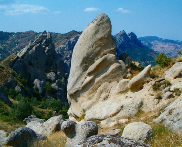
Regional nature park of 27,027 hectares in Italy, established in 1997.
Overview
Regional nature park of 27,027 hectares in Italy, established in 1997.
Gallipoli Cognato and Piccole Dolomiti Lucane Regional Park is a regional nature park in Italy (Europe). It is a predominantly terrestrial area. Established in 1997, it covers about 27,027 hectares.
Protections and designations
Natura 2000 · habitats (SAC) · 3 sites
- Bosco di Montepiano IT9220030
- Dolomiti di Pietrapertosa IT9210105
- Foresta Gallipoli - Cognato IT9220130
Natura 2000 · birds (SPA) · 2 sites
- Dolomiti di Pietrapertosa IT9210105
- Foresta Gallipoli - Cognato IT9220130
Protected as a regional nature park. International labels and designations: Natura 2000 network (3 sites). Key dates: established in 1997, first Natura 2000 site under the Birds Directive in 1998 and first Natura 2000 site under the Habitats Directive in 2013.
In our collections
Timeline
-
1997
Established
-
1998
First Natura 2000 site under the Birds Directive 2 such sites designated up to 1998
-
2013
First Natura 2000 site under the Habitats Directive 3 such sites designated up to 2013
Sources: Wikidata (CC0) for establishment and international labels; EEA Natura 2000 database (CC-BY 4.0) for site designation dates.
Frequently asked questions
Where is Gallipoli Cognato and Piccole Dolomiti Lucane Regional Park?
In Italy (Europe). Representative point: 40.5109° N, 16.1078° E.
How large is Gallipoli Cognato and Piccole Dolomiti Lucane Regional Park?
About 27,027 hectares (270 km²). It is the 18th largest of the 128 regional parks in Italy covered by Parkavela.
When was Gallipoli Cognato and Piccole Dolomiti Lucane Regional Park established?
In 1997.
What habitats and landscapes does Gallipoli Cognato and Piccole Dolomiti Lucane Regional Park include?
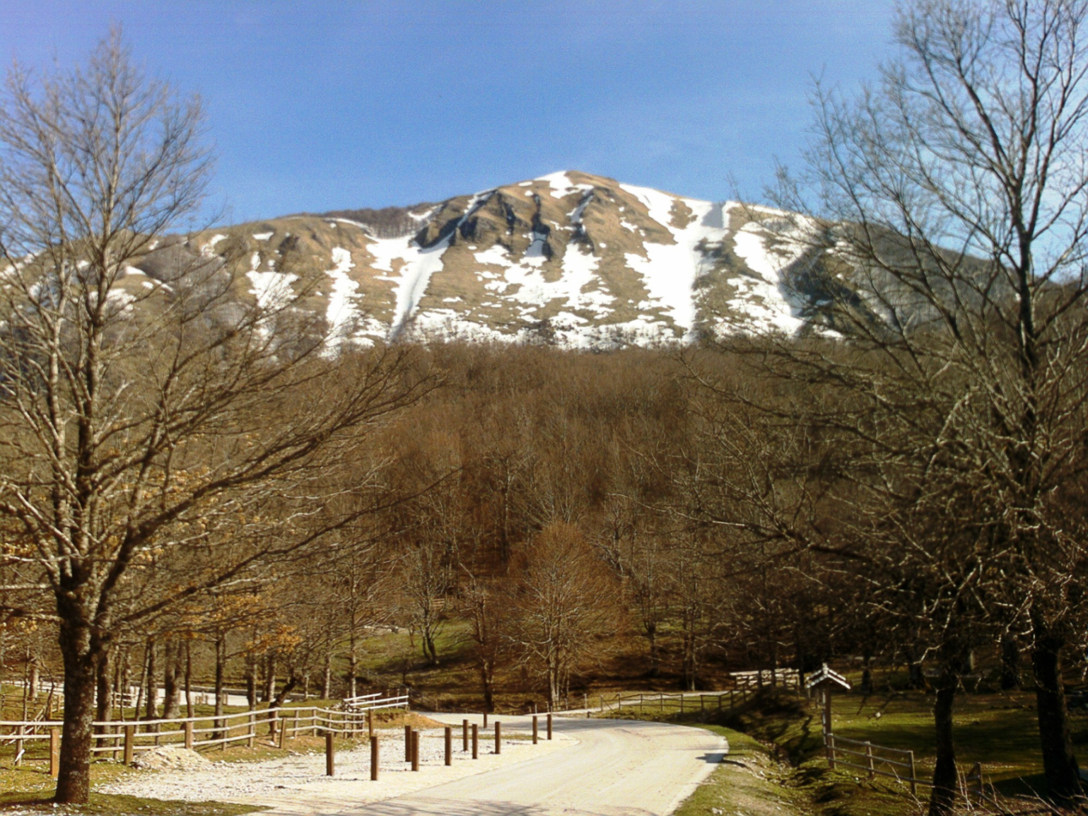
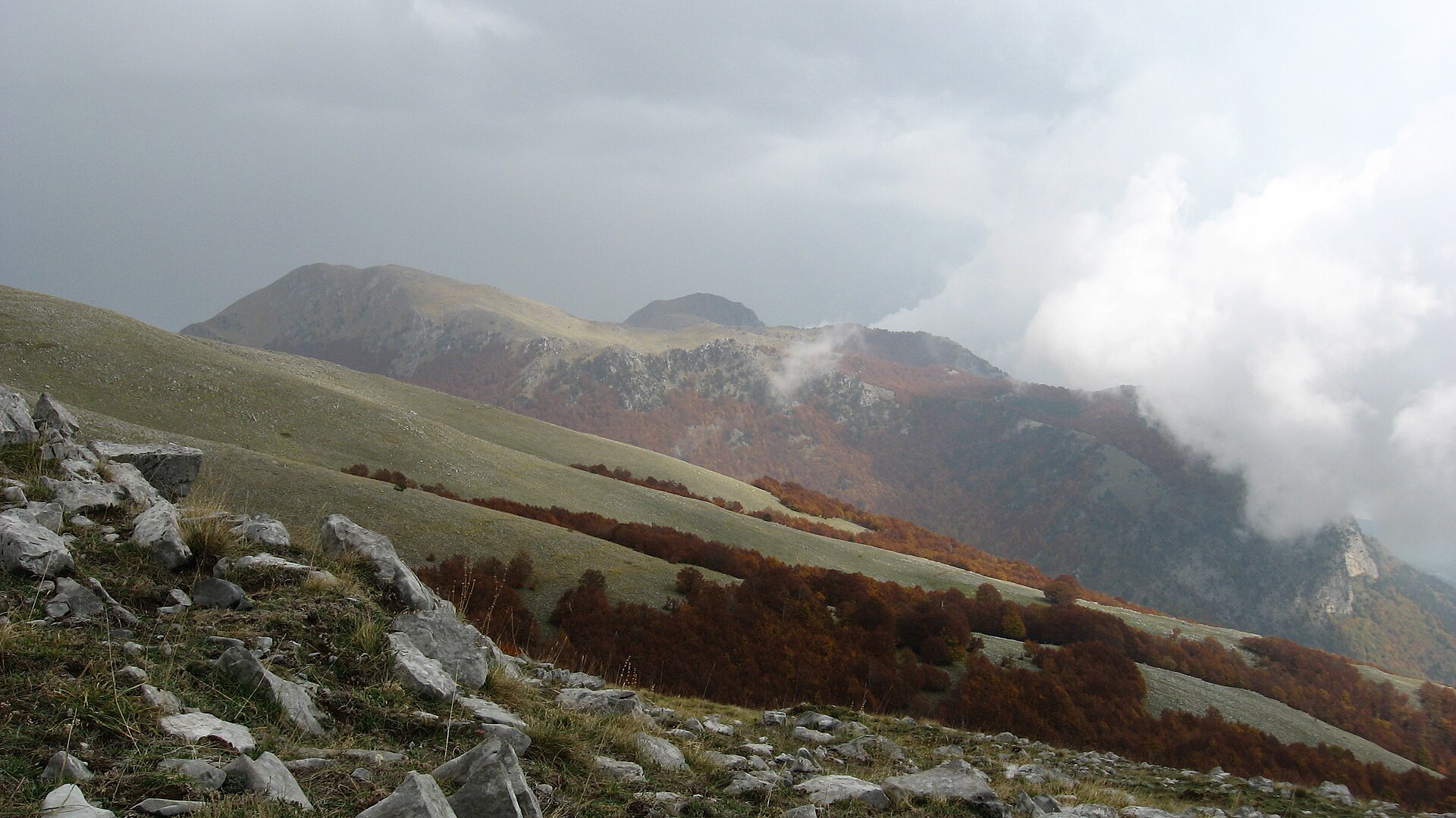
A terrestrial area, with forests and mountains.
What rocks lie beneath Gallipoli Cognato and Piccole Dolomiti Lucane Regional Park?
According to the European 1:1 million geological map (EGDI), the bedrock consists mainly of marly limestones (44% of sampled points), sandstones (38%) and mudstones (13%). These are mostly sedimentary rocks. The geological units date mainly from the Neogene (88% of sampled points).
What is the highest point of Gallipoli Cognato and Piccole Dolomiti Lucane Regional Park?
Monte dell'Impiso, at 1,319 m (OpenStreetMap).
What are the main summits of Gallipoli Cognato and Piccole Dolomiti Lucane Regional Park?
Monte dell'Impiso (1,319 m), Monte La Croccia (1,149 m), Monte Malerba (1,083 m), Tuppo Dell'Uv (1,081 m) and Monte Cortaglia (948 m) (OpenStreetMap).
Which international labels apply to Gallipoli Cognato and Piccole Dolomiti Lucane Regional Park?
Natura 2000 network (3 sites).
When is the best time to visit Gallipoli Cognato and Piccole Dolomiti Lucane Regional Park?
Best time to visit: from May to October, with average temperatures of 11 to 21 °C and moderate rainfall.
What is there to see in Gallipoli Cognato and Piccole Dolomiti Lucane Regional Park?
11 viewpoints, including Monte dell'impiso and punto panoramico (OpenStreetMap).
Where can I stay in Gallipoli Cognato and Piccole Dolomiti Lucane Regional Park?
Campsite Area camper Accettura (OpenStreetMap).
Are there historic monuments in Gallipoli Cognato and Piccole Dolomiti Lucane Regional Park?
Yes. According to Wikidata, 42 monuments protected as Italian national cultural heritage stand within the boundary. For example: “San Cataldo” in Pietrapertosa, “Pietrapertosa Castle” in Pietrapertosa and “Complesso megalitico Monte Croccia” in Accettura.
What is the nearest large city to Gallipoli Cognato and Piccole Dolomiti Lucane Regional Park?
Nearest towns of over 50,000 people, as the crow flies: Potenza (20 km) and Matera (32 km). Nearest airport: Bari Karol Wojtyła (BRI), about 75 km away.
How can I reach Gallipoli Cognato and Piccole Dolomiti Lucane Regional Park by train?
The nearest railway station is Albano di Lucania, less than 1 km from the site boundary.
Where can I get visitor information on site?
Biglietteria VOLO DELL'ANGELO, Pro Loco Accettura and Pro Loco.
Are there waymarked hiking trails in Gallipoli Cognato and Piccole Dolomiti Lucane Regional Park?
Yes. Waymarked hiking routes listed in OpenStreetMap: 24. The “709” route runs for about 17 km through the site, with some 560 m of ascent on its longest section.
Which species can be seen in Gallipoli Cognato and Piccole Dolomiti Lucane Regional Park?
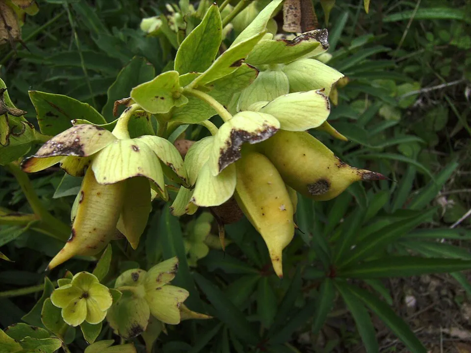
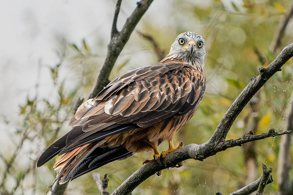
Among the species most often recorded on GBIF are Psylliodes kiesenwetteri, Helleborus foetidus (Stinking Hellebore), Crataegus monogyna (Hawthorn) and Milvus milvus (Red Kite).
© OpenStreetMap
Download the boundary: GeoJSON · GPX Boundary © OpenStreetMap contributors (ODbL).
Geography
The representative point of the site lies at around 1,070 m above sea level. Over the 1996–2025 period, the mean annual temperature is about 10.5 °C and total precipitation reaches roughly 643 mm per year. The warmest month is usually July, the coolest January, and the wettest November. According to the European 1:1 million geological map (EGDI), the bedrock consists mainly of marly limestones (44% of sampled points), sandstones (38%) and mudstones (13%). These are mostly sedimentary rocks. The geological units date mainly from the Neogene (88% of sampled points).
Area
- Area
- 27,027 ha
- Elevation
- 1,070 m
- Median elevation
- 755 m
- Mean slope
- 14°
- Coordinates
- 40.5109, 16.1078
Terrain: Mapzen Terrain Tiles (SRTM, USGS)
Elevation bands
- below 500 m 13%
- 500–1,000 m 73%
- 1,000–1,500 m 14%
share of the site in each elevation band (smoothed terrain model: summits are rounded off) · Terrain: Mapzen Terrain Tiles (SRTM, USGS)
Bedrock
- Marly limestones 44 %
- Sandstones 38 %
- Mudstones 13 %
- Limestones 6 %
Sedimentary rocks 100 % · Main age: Neogene (88%)
Source: EGDI 1:1M geological map (EuroGeoSurveys and national geological surveys), CC BY 4.0 · 16 sampled points within the site.
Main summits
- Monte dell'Impiso1,319 m
- Monte La Croccia1,149 m
- Monte Malerba1,083 m
- Tuppo Dell'Uv1,081 m
- Monte Cortaglia948 m
Data © OpenStreetMap contributors (ODbL)
Climate
● Mean temperature (°C) · ▮ Precipitation (mm)
Source: Copernicus ERA5-Land (C3S, doi:10.24381/cds.68d2bb30), monthly averages 1996–2025 interpolated to the representative point, temperatures adjusted for elevation.
Contains modified Copernicus Climate Change Service information 2026. Neither the European Commission nor ECMWF is responsible for any use that may be made of the Copernicus information or data it contains.
Natural habitats
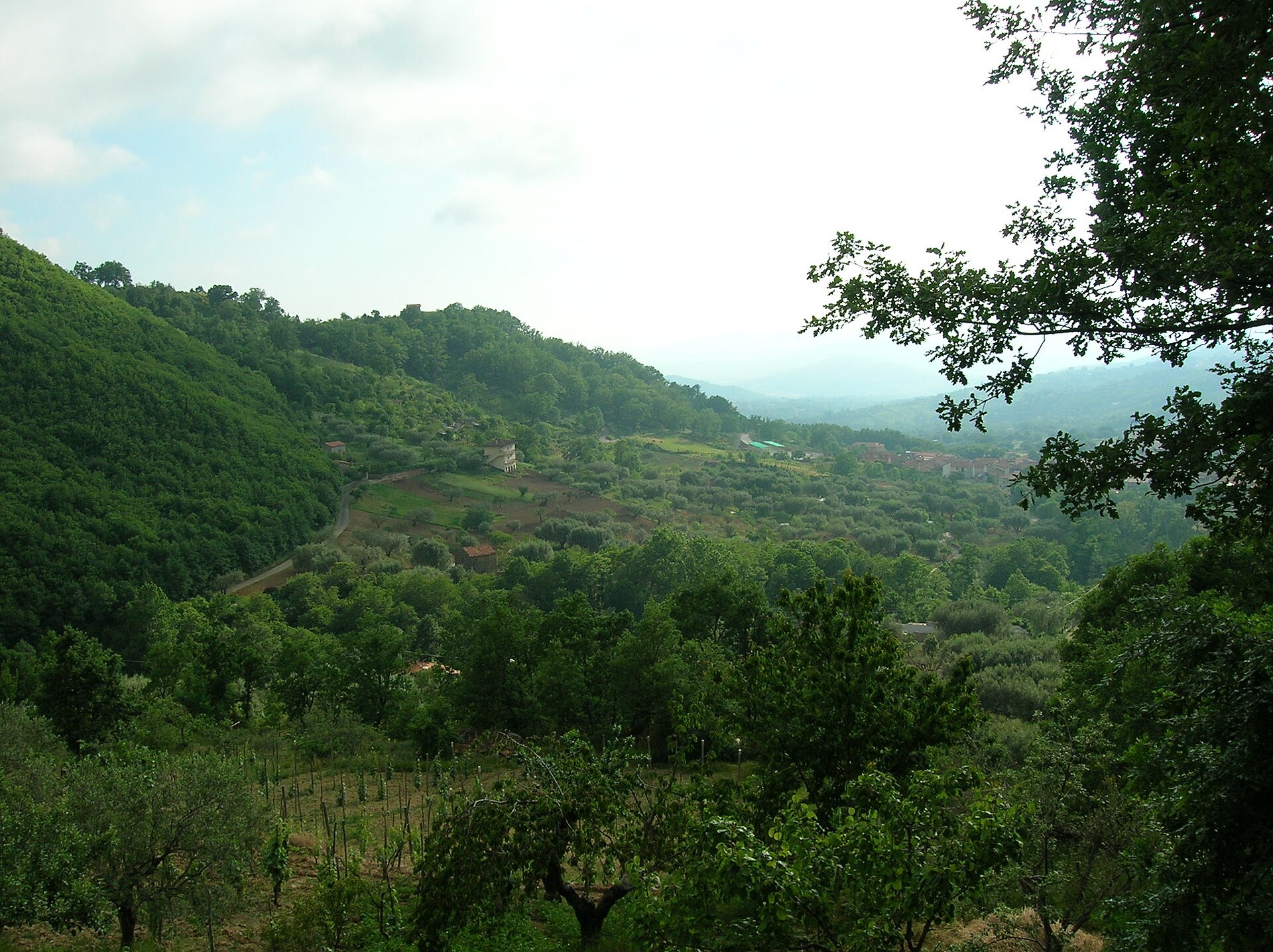
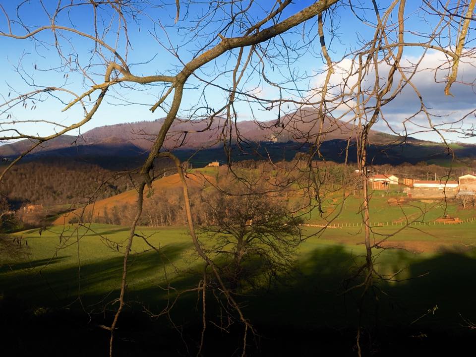
According to CORINE Land Cover (2018), the site is mainly made up of forests (59%), farmland (31%) and heath and scrub (5%). Woodland is mostly broadleaved. Elevation ranges from about 270 m to 1,319 m (highest point: Monte dell'Impiso). Median elevation is 755 m, and 14% of the site lies above 1,000 m (SRTM elevation model). The 3 Natura 2000 sites overlapping the area list 13 habitats of European interest (3 priority), the most extensive being Pannonian-Balkanic turkey oak-sessile oak forests, eastern white oak woods and semi-natural dry grasslands and scrubland facies on calcareous substrates (Festuco-Brometalia) (* important orchid sites).
Biodiversity
Based on occurrences aggregated by GBIF, several species are regularly recorded within the site. Among the most frequent are Psylliodes kiesenwetteri, Helleborus foetidus (Stinking Hellebore), Crataegus monogyna (Hawthorn) and Milvus milvus (Red Kite). The full list of documented taxa is shown below. The overlapping Natura 2000 sites list 108 species of European interest: 95 birds, 3 mammals, 3 reptiles, 5 amphibians, 1 invertebrate and 1 plant.
Habitats of European interest
From the official forms of the 3 Natura 2000 sites overlapping the area (areas reported for each whole site).
- Pannonian-Balkanic turkey oak-sessile oak forests 4,690 ha
- Eastern white oak woods priority 552 ha
- Semi-natural dry grasslands and scrubland facies on calcareous substrates (Festuco-Brometalia) (* important orchid sites) 483 ha
- Calcareous rocky slopes with chasmophytic vegetation 75 ha
- Eastern sub-Mediterranean dry grasslands (Scorzoneratalia villosae) 66 ha
- Tilio-Acerion forests of slopes, screes and ravines priority 59 ha
- Salix alba and Populus alba galleries 55 ha
- Quercus ilex and Quercus rotundifolia forests 25 ha
and 5 more
Species of European interest
Birds · 95
Eurasian Goshawk (Accipiter gentilis) resident, Eurasian Sparrowhawk (Accipiter nisus) resident, Long-tailed Tit (Aegithalos caudatus) resident, Eurasian Skylark (Alauda arvensis) resident, Common Kingfisher (Alcedo atthis) resident, Mallard (Anas platyrhynchos) breeding, Tawny Pipit (Anthus campestris) breeding, Common Swift (Apus apus) breeding wintering, Grey Heron (Ardea cinerea) wintering, Long-eared Owl (Asio otus) resident, Little Owl (Athene noctua) resident, Eurasian Eagle-owl (Bubo bubo) breeding resident and 83 more
Mammals · 3
Grey wolf (Canis lupus), European wildcat (Felis silvestris), Eurasian otter (Lutra lutra)
Reptiles · 3
Four-lined snake (Elaphe quatuorlineata), European Pond Turtle (Emys orbicularis), Italian Aesculapian Snake (Zamenis lineatus)
Amphibians · 5
Apennine Yellow-bellied Toad (Bombina pachypus), Italian newt (Lissotriton italicus), Italian stream frog (Rana italica), Spectacled Salamander (Salamandrina terdigitata), Italian crested newt (Triturus carnifex)
Invertebrates · 1
Plants · 1
Stipa austroitalica
Source: Natura 2000 standard data forms (EEA, CC-BY 4.0). Not exhaustive: sensitive species are not published.
Species to look out for
Plant
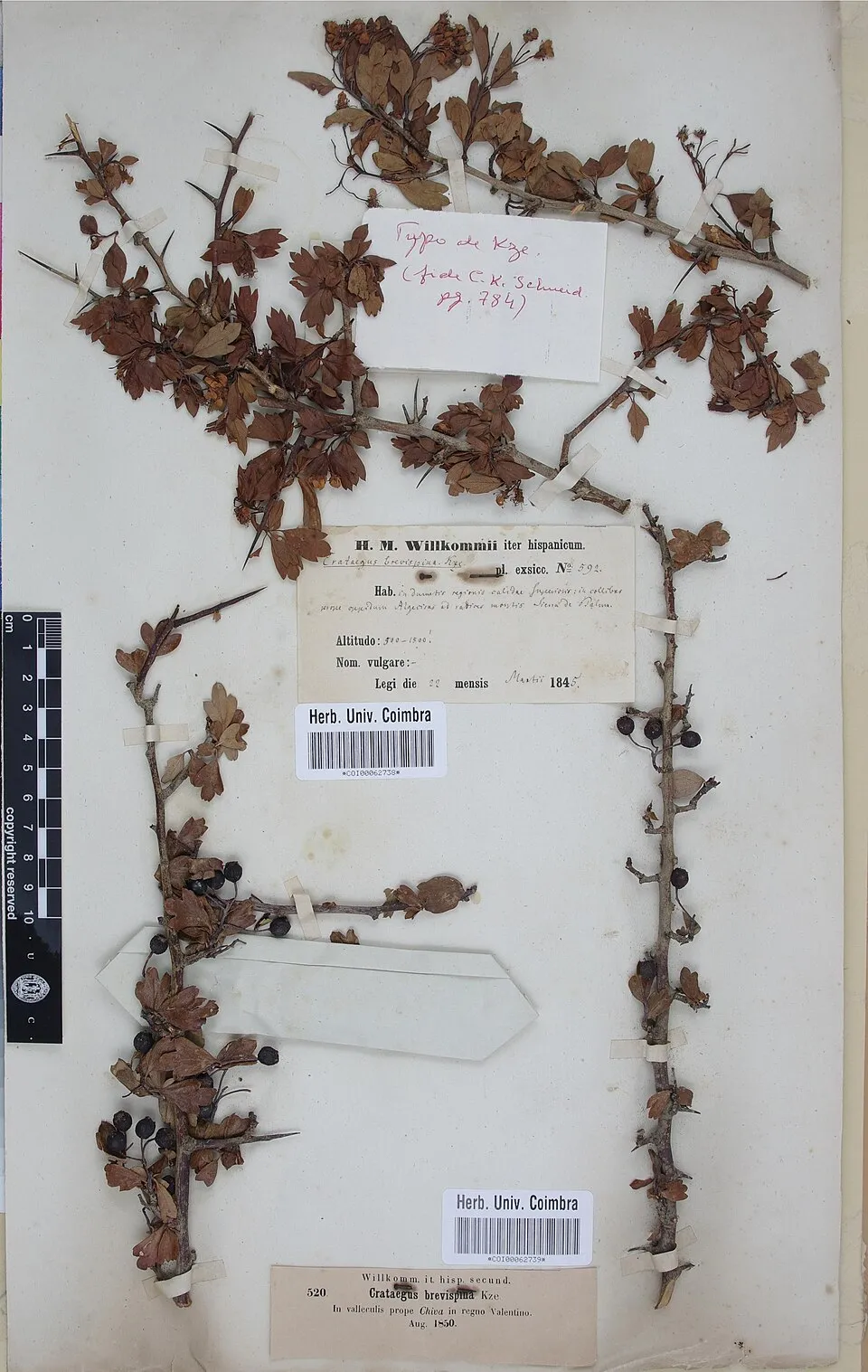
Hawthorn
Crataegus monogyna30 records © Herbarium of the University of Coimbra (COI) · CC BY 4.0
Observed species
Occurrences documented via GBIF; they are neither an exhaustive inventory nor proof of current presence.
- Psylliodes kiesenwetteri · 42
- Stinking Hellebore · Helleborus foetidus · 31
- Hawthorn · Crataegus monogyna · 30
- Red Kite · Milvus milvus · 29
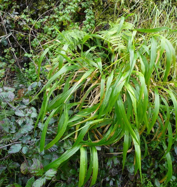
- Slender false brome · Brachypodium sylvaticum · 29
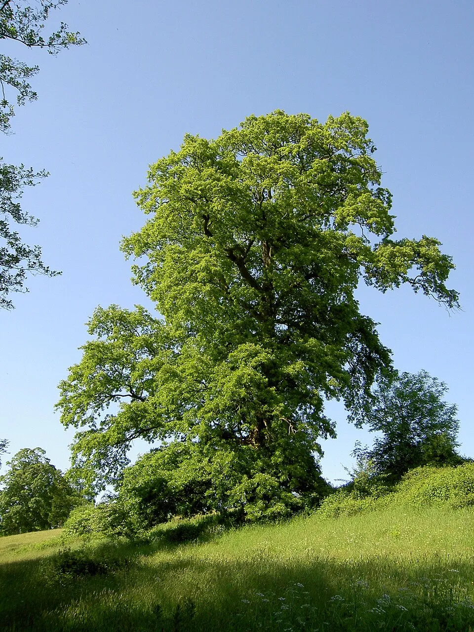
- Turkey Oak · Quercus cerris · 28
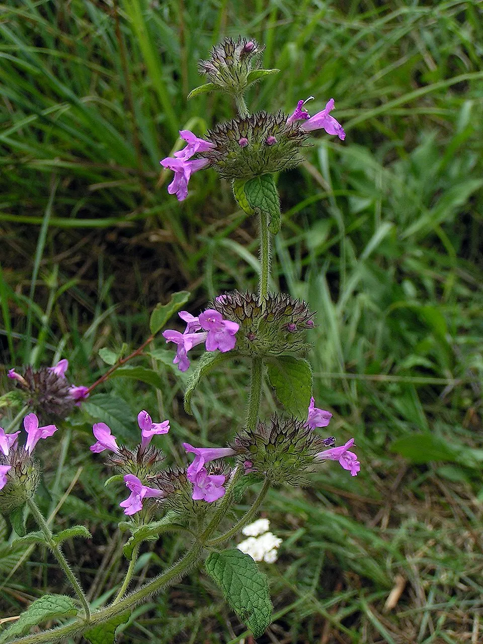
- Wild basil · Clinopodium vulgare · 27
- Manna Ash · Fraxinus ornus · 25
- Spanish broom · Spartium junceum · 24
- Cock's-foot · Dactylis glomerata · 23
- Butcher's-broom · Ruscus aculeatus · 23
- Blackthorn · Prunus spinosa · 21
Records: GBIF.org (CC-BY). Names: Wikidata (CC0), GBIF. Photos: Wikimedia Commons.
Conservation challenges
The primary purpose of the site is to preserve its natural habitats and the biodiversity they support. The species recorded (Biodiversity tab) reflect its ecological value. The designations it holds frame its management and the control of land use.
According to Global Forest Change data (University of Maryland, Global Forest Watch), about 152 ha of tree cover were lost within the boundary between 2001 and 2023 (under 1% of its area), peaking in 2016 and 2018. These losses include logging, storms and fires, and do not account for regrowth. According to the European CORINE Land Cover inventory (Copernicus), land cover changed on about 200 ha of the site between 1990 and 2018 (under 1% of its area). Forest felling and regrowth add about 480 ha in total over the period. Since 2016, the European EFFIS system (Copernicus) has mapped 5 fires here, burning about 255 ha within the boundary; the largest, in July 2024 (near Accettura), covered 181 ha. At night, 3% of the area gives off artificial light detectable from space (NASA VIIRS Black Marble composite, 2016). According to the Natura 2000 forms, of 13 assessed habitats of European interest, 1 is in excellent condition and 3 in average or reduced condition. According to the Water Framework Directive assessment (2022 river basin management plans, data 2016–2020), none of the 15 km of rivers assessed within the site reaches good ecological status; they mostly have moderate ecological status. Other assessed water bodies: lakes, 1 of 1 in good ecological status or better. Since 2000, 6 invasive alien species have been recorded within the site (GBIF observations), 2 of them listed as of Union concern under EU Regulation 1143/2014. Among them: Broussonetia papyrifera (Paper mulberry), Ailanthus altissima (Tree-of-heaven) and Robinia pseudoacacia (Black locust).
Pressure indicators
Tree cover lost
152 ha
2001–2023 · < 1% of the area
20012023
Fires since 2016
255 ha
burned within the boundary (5 mapped fires)
- 2024 · Accettura · 181 ha
- 2020 · Accettura · 44 ha
- 2024 · Accettura · 13 ha
Light at night
3%
of the area gives off artificial light visible from space
DarkLit
Built-up land
< 1%
buildings, business areas, roads, quarries · farmland 31%
Land cover change
200 ha
changed cover, 1990–2018 · CORINE · < 1% of the area
forest felling and regrowth: 480 ha in total
Rivers and lakes
0%
of the 15 km of assessed rivers in good or high ecological status · WFD 2022
Lakes: 1 of 1 good or better
assessments 2016–2020
Invasive alien species
6
incl. 2 of EU concern · since 2000
 Paper mulberry
 Tree-of-heaven
 Black locust
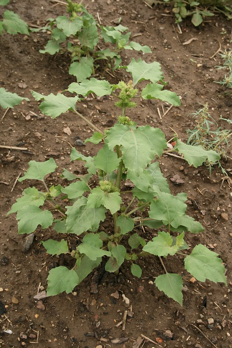 Common cockleburr
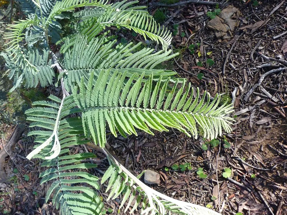 Silver Wattle
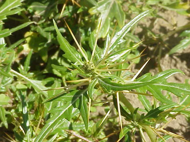 Spiny cocklebur
Photos: Paper mulberry © Didier Descouens · CC BY-SA 4.0; Tree-of-heaven © Darkone · CC BY-SA 2.5; Black locust © This Photo was taken by Wolfgang Moroder. Feel free to use my photos, but please mention me as the author and send me a message. This image is not in the public domain. Please respect the copyright protection. It may only be used according… · CC BY-SA 3.0; Common cockleburr © Oceancetaceen - Alice Chodura · CC BY-SA 3.0; Silver Wattle © Donald Hobern from Copenhagen, Denmark · CC BY 2.0; Spiny cocklebur © Kurt Stüber [1] · CC BY-SA 3.0
Sources: Global Forest Change (Hansen et al., University of Maryland, via Global Forest Watch, CC-BY 4.0); EFFIS, European Commission / Copernicus; NASA Black Marble 2016 (public domain); CORINE Land Cover 2018 (Copernicus) or MODIS.
CORINE Land Cover Change 1990–2018: generated using European Union's Copernicus Land Monitoring Service information (EEA), aggregated by Parkavela; DOI 10.2909/f30f1000-7cf8-43bb-872c-5eb093911b24.
Ecological status of water bodies: European Environment Agency, WISE – Water Framework Directive, 3rd river basin management plans (2022), CC BY 4.0. Official national classification, not comparable between countries.
Invasive alien species: Global Register of Introduced and Invasive Species (ISSG, CC BY 4.0); Union list, Regulation (EU) 1143/2014 (INBO, CC0); GBIF.org records (CC0 / CC BY 4.0), at least 2 per species.
Practical information
Cities and airport
- Potenza
20 km as the crow flies - Matera
32 km as the crow flies - Airport: Bari Karol Wojtyła (BRI)
75 km as the crow flies
Visitor information
- Biglietteria VOLO DELL'ANGELO
within the site - Pro Loco Accettura
within the site - Pro Loco
3 km from the site boundary
Hiking
24 waymarked routes listed
By bike
Appennino Bike Tour [ABT] · 39 km
Signed cycle routes: this does not mean that cycling is allowed on footpaths.
Data © OpenStreetMap contributors (ODbL) · Wikidata (CC0)
Routes © OpenStreetMap contributors (ODbL), via Waymarked Trails
Waymarked hiking routes
Tracks © OpenStreetMap contributors (ODbL), clipped to the boundary; elevation gain and profiles computed on the longest section from Mapzen Terrain Tiles (≈ 30 m), indicative only.
Access and visiting
The nearest railway station is Albano di Lucania, less than 1 km from the site boundary. Nearest towns of over 50,000 people, as the crow flies: Potenza (20 km) and Matera (32 km). Nearest airport: Bari Karol Wojtyła (BRI), about 75 km away. About 100,000 people live within 20 km of the site boundary, 29,000 of them within 10 km; some 4,500 people are estimated to live inside (GHSL estimate, 2020). This population has fallen by about 15% since 2000. Visitor information on site: Biglietteria VOLO DELL'ANGELO, Pro Loco Accettura and Pro Loco. Waymarked hiking routes listed in OpenStreetMap: 24. A signed cycle route crosses the site: “Appennino Bike Tour [ABT]” (OpenStreetMap). To see: 11 viewpoints, including Monte dell'impiso and punto panoramico. Where to stay: campsite Area camper Accettura. To plan a visit (access, opening periods, visitor rules), it is best to consult the official information from the managing body and the official website listed in this page's sources.
Source: OpenStreetMap (ODbL), Wikidata (CC0), October 2026.
Built heritage
According to Wikidata, 42 monuments protected as Italian national cultural heritage stand within the boundary. Among them are 11 religious buildings, 6 castles and fortifications and 6 houses and civic buildings. Examples include “San Cataldo” in Pietrapertosa, “Pietrapertosa Castle” in Pietrapertosa and “Complesso megalitico Monte Croccia” in Accettura.
11 religious buildings6 castles and fortifications6 houses and civic buildings2 prehistoric and archaeological sites2 bridges, lighthouses, mills and working buildings
-
San Cataldo
Pietrapertosa -
Pietrapertosa Castle
Pietrapertosa -
Complesso megalitico Monte Croccia
Accettura -
War memorial
Oliveto Lucano -
Nepalese bridge of Castelmezzano
Castelmezzano -
Foresta Gallipoli Cognato
Accettura -
Chiesa dell'Annunziata
Accettura -
Castello Ducale De Lerma
Oliveto Lucano
and 34 more
Source: Wikidata (CC0), monuments in each country’s official heritage protection registers, at national or regional level. Each item links to its Wikidata entry.
When to visit
Best time to visit: from May to October, with average temperatures of 11 to 21 °C and moderate rainfall. These averages apply to the site's representative point (1,070 m); higher up it is markedly cooler. Day length ranges from about 9 h 17 min in December to 15 h 03 min in June. Wildlife records published on GBIF peak for birds (December and January), plants (June) and butterflies and moths (April). These peaks also reflect when observers are most active.
Source: Copernicus ERA5-Land (C3S), monthly averages 1996–2025 at the representative point, temperatures adjusted for elevation.
Contains modified Copernicus Climate Change Service information 2026. Neither the European Commission nor ECMWF is responsible for any use that may be made of the Copernicus information or data it contains.
Wildlife records calendar
JFMAMJJASOND
Birds
Plants
Butterflies & moths
Monthly records published on GBIF (CC-BY), relative to the busiest month; also reflects observer activity.
Gallery
© Idéfix · CC BY-SA 3.0
© Ferdinando Traversa · CC BY-SA 4.0
© MaricaLeone · CC BY-SA 4.0
© Pakycassano · CC BY-SA 4.0
© Pakycassano · CC BY-SA 4.0
© Francesco La Centra · CC BY-SA 4.0
Sources and licences
- Wikidata: Q248543
- Wikipedia: it.wikipedia.org/wiki/Parco_regionale_di_Gallipoli_Cognato_Piccole_Dolomiti_Lucane
- WDPA: 6048
References
- cds.climate.copernicus.eu: climate · CC-BY-4.0
- registry.opendata.aws: elevation of the reference point, detailed relief · PD
- land.copernicus.eu: land cover, land cover change, sea share · COPERNICUS
- doi.org: population around the site · CC-BY-4.0
- wikidata.org: official area, establishment date, protected heritage, official name, nearby cities and airport, access and peaks, lake depths, places to see · CC0-1.0
- eea.europa.eu: bathing water quality, ecological status of waters · CC-BY-4.0
- en.eurovelo.com: EuroVelo cycle routes · ODbL-1.0
- cycling.waymarkedtrails.org: cycle routes · ODbL-1.0
- opentopodata.org: elevations · PD
- forest-fire.emergency.copernicus.eu: wildfires · COPERNICUS
- globalforestwatch.org: tree cover loss · CC-BY-4.0
- gbif.org: seasonality of sightings, invasive alien species, observed species · CC-BY-4.0
- europe-geology.eu: geology · CC-BY-4.0
- hydrosheds.org: lakes · CC-BY-4.0
- natura2000.eea.europa.eu: Natura 2000 habitats and species · CC-BY-4.0
- earthobservatory.nasa.gov: night light · PD
- openstreetmap.org: access and peaks, places to see · ODbL-1.0
- hiking.waymarkedtrails.org: route difficulty · ODbL-1.0
- nsidc.org: snow cover · PD
- wikidata.org: Wikipedia article · CC-BY-SA-4.0
Data © OpenStreetMap contributors (ODbL), Wikidata (CC0) and the sources cited.