
Italy · Terrestrial
Pollino National Park
National park of 171,132 hectares in Italy, established in 1988.
Overview
National park of 171,132 hectares in Italy, established in 1988.
Pollino National Park is located in Italy (Europe). It is a predominantly terrestrial area. Established in 1988, it covers about 171,132 hectares.
Protections and designations
UNESCO World Heritage
Natura 2000 · habitats (SAC) · 42 sites
- Bosco della Farneta IT9210025
- Bosco di Chiaromonte-Piano Iannace IT9210130
- Bosco Magnano IT9210040
- Bosco Vaccarizzo IT9210070
- Cima del Monte Dolcedorme IT9310006
- Cima del Monte Pollino IT9310005
- and 36 more
Natura 2000 · birds (SPA) · 2 sites
- Massiccio del Monte Pollino e Monte Alpi IT9210275
- Pollino e Orsomarso IT9310303
Protected as a national park. International labels and designations: UNESCO World Heritage (“Ancient and Primeval Beech Forests of the Carpathians and Other Regions of Europe”) and Natura 2000 network (44 sites). Key dates: established in 1988, first Natura 2000 site under the Birds Directive in 2005 and World Heritage listing in 2017.
In our collections
Timeline
-
1988
Established
-
2005
First Natura 2000 site under the Birds Directive 2 such sites designated up to 2006
-
2017
Inscribed as a UNESCO World Heritage Site Ancient and Primeval Beech Forests of the Carpathians and Other Regions of Europe
Sources: Wikidata (CC0) for establishment and international labels; EEA Natura 2000 database (CC-BY 4.0) for site designation dates.
Frequently asked questions
Where is Pollino National Park?
In Italy (Europe). Representative point: 39.9311° N, 16.1261° E.
How large is Pollino National Park?
About 171,132 hectares (1,711 km²). It is the 2nd largest of the 26 national parks in Italy covered by Parkavela.
When was Pollino National Park established?
In 1988.
What habitats and landscapes does Pollino National Park include?
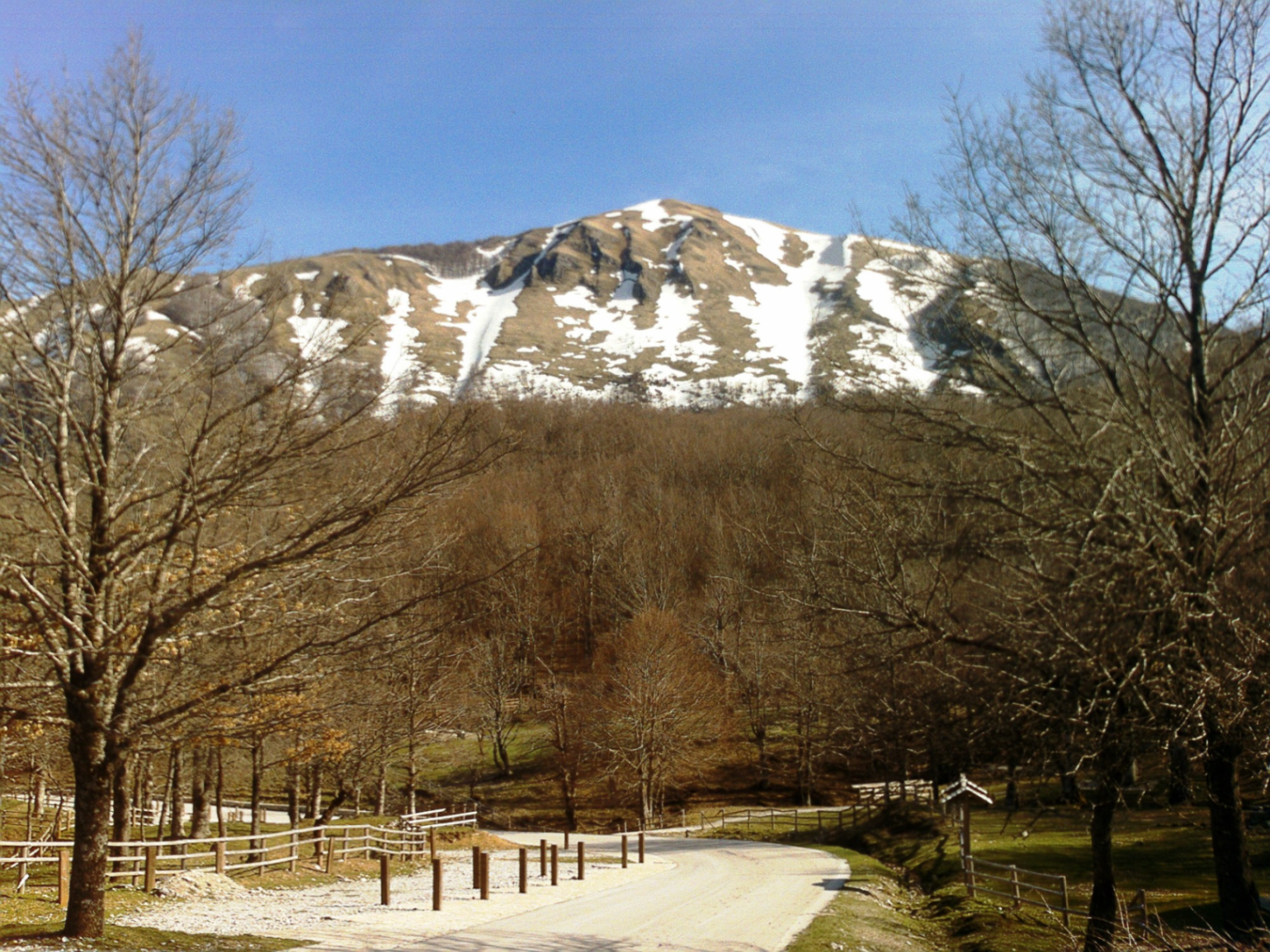
A terrestrial area, with forests and mountains.
What rocks lie beneath Pollino National Park?
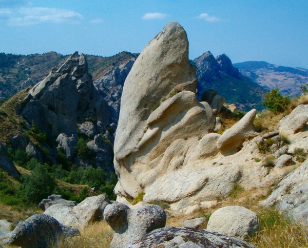
According to the European 1:1 million geological map (EGDI), the bedrock consists mainly of limestones (44% of sampled points), clastic sedimentary rocks (19%) and carbonate rocks (19%). These are mostly sedimentary rocks. The geological units date mainly from the Triassic (44% of sampled points).
What is the highest point of Pollino National Park?
Serra Dolcedorme, at 2,267 m (OpenStreetMap).
What are the main summits of Pollino National Park?
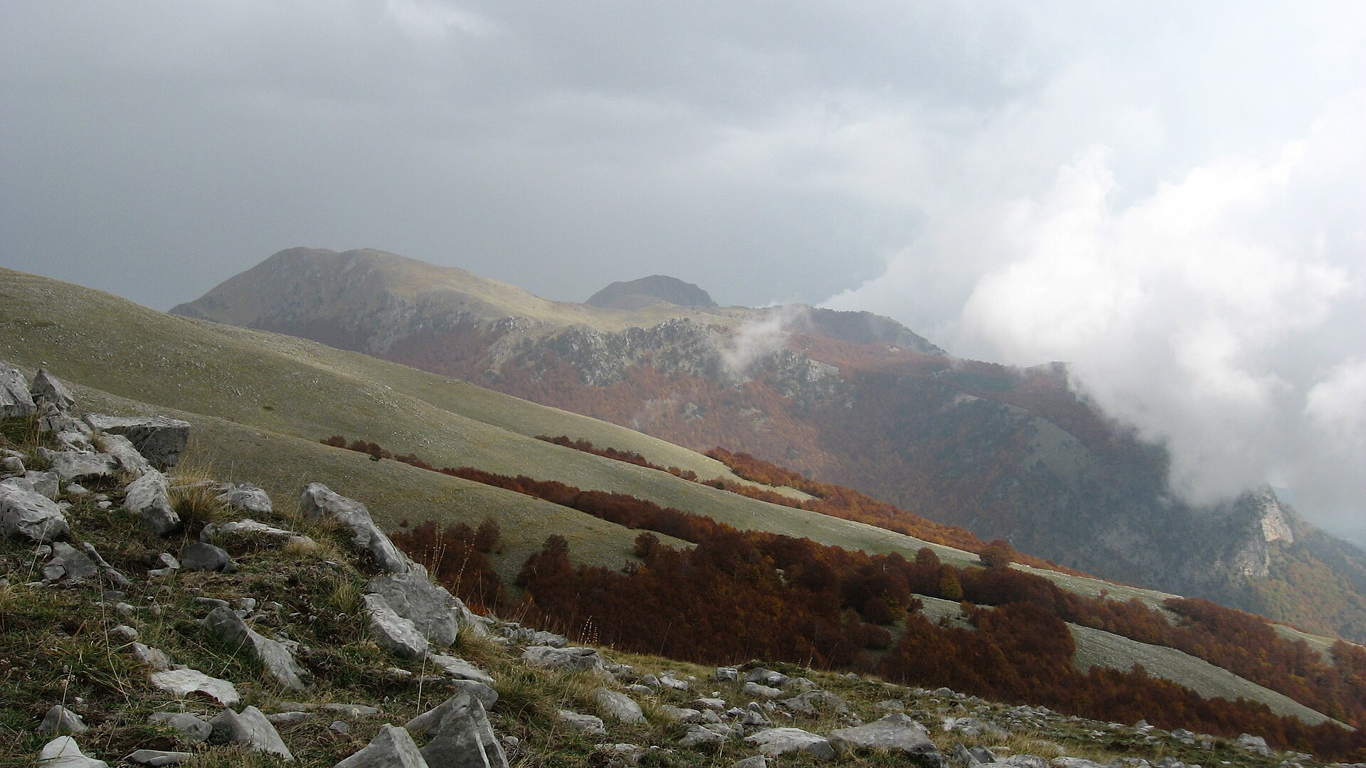
Serra Dolcedorme (2,267 m), Monte Pollino (2,248 m), Serra del Prete (2,181 m), Timpa di Vallepiana (2,163 m) and Serra delle Ciavole (2,130 m) (OpenStreetMap).
Which international labels apply to Pollino National Park?
UNESCO World Heritage (“Ancient and Primeval Beech Forests of the Carpathians and Other Regions of Europe”) and Natura 2000 network (44 sites).
When is the best time to visit Pollino National Park?
Best time to visit: from May to October, with average temperatures of 10 to 18 °C and moderate rainfall.
What is there to see in Pollino National Park?
67 viewpoints, 6 waterfalls, 14 lakes and ponds, 1 natural arch and 26 caves, including Belvedere Alcide De Gasperi - Statista (1,674 m), Cascata Ficara, Lago Fondo (1,510 m) and Occhio di S. Anna (OpenStreetMap).
Where can I stay in Pollino National Park?
32 mountain huts and 12 campsites, including Rifugio pino loricato (1,537 m), Agricampeggio Lo Scoiattolo and Rifugio Belvedere (1,355 m) (OpenStreetMap).
Are there historic monuments in Pollino National Park?
Yes. According to Wikidata, 82 monuments protected as Italian national cultural heritage stand within the boundary. For example: “Santa Maria del Sagittario abbey” in Chiaromonte, “Castello Sanseverino” in Chiaromonte and “Romito Cave” in Papasidero.
What is the nearest large city to Pollino National Park?
Nearest towns of over 50,000 people, as the crow flies: Corigliano-Rossano (29 km) and Cosenza (42 km). Nearest airport: Lamezia Terme (SUF), about 84 km away.
How can I reach Pollino National Park by train?
The nearest railway station is Belvedere Marittimo, about 3 km from the site boundary.
Where can I get visitor information on site?
Ufficio Informazioni Turistiche, Centro visite and Ufficio Informazioni.
Are there waymarked hiking trails in Pollino National Park?
Yes. Waymarked hiking routes listed in OpenStreetMap: 137. The “SI” route runs for about 8 km through the site, with some 140 m of ascent on its longest section.
Which species can be seen in Pollino National Park?
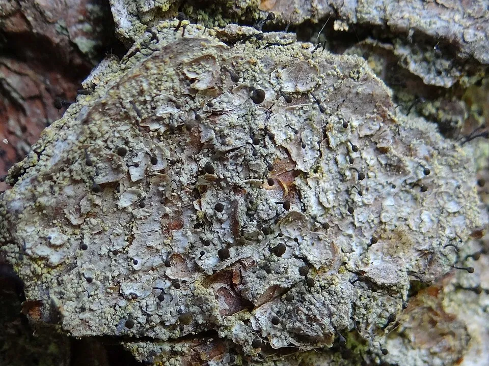
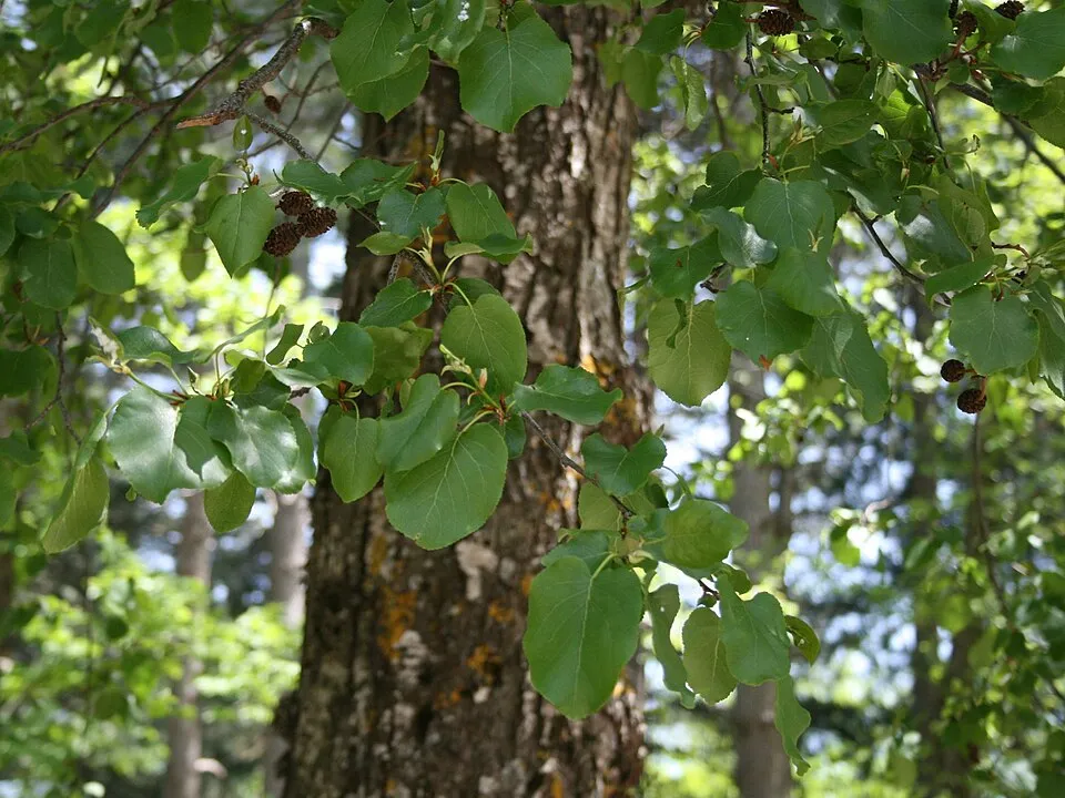
Among the species most often recorded on GBIF are Fagus sylvatica (European Beech), Dianthus virgineus, Calicium salicinum (Spike lichen) and Carduus affinis.
What is the official website of Pollino National Park?
© OpenStreetMap
Download the boundary: GeoJSON · GPX Boundary © OpenStreetMap contributors (ODbL).
Geography
The representative point of the site lies at around 1,515 m above sea level. Over the 1996–2025 period, the mean annual temperature is about 8.8 °C and total precipitation reaches roughly 951 mm per year. The warmest month is usually July, the coolest January, and the wettest November. According to the European 1:1 million geological map (EGDI), the bedrock consists mainly of limestones (44% of sampled points), clastic sedimentary rocks (19%) and carbonate rocks (19%). These are mostly sedimentary rocks. The geological units date mainly from the Triassic (44% of sampled points). The site contains 2 lakes larger than 10 ha, totalling 8.7 km² of water; the largest, lago di Monte Cotugno, covers 8.5 km² (HydroLAKES).
Area
- Area
- 171,132 ha
- Elevation
- 1,515 m
- Median elevation
- 851 m
- Mean slope
- 16°
- Lakes over 10 ha
- 2 (8.7 km²)
- Coordinates
- 39.9311, 16.1261
Terrain: Mapzen Terrain Tiles (SRTM, USGS) · Lakes: HydroLAKES (Messager et al. 2016, hydrosheds.org, CC BY 4.0) · depths: Wikidata (CC0)
Elevation bands
- below 500 m 19%
- 500–1,000 m 46%
- 1,000–1,500 m 29%
- 1,500–2,000 m 7%
share of the site in each elevation band (smoothed terrain model: summits are rounded off) · Terrain: Mapzen Terrain Tiles (SRTM, USGS)
Bedrock
- Limestones 44 %
- Clastic sedimentary rocks 19 %
- Carbonate rocks 19 %
- Phyllites and slates 6 %
- Mudstones 6 %
- Unconsolidated deposits 6 %
Sedimentary rocks 94 % · Metamorphic rocks 6 % · Main age: Triassic (44%)
Source: EGDI 1:1M geological map (EuroGeoSurveys and national geological surveys), CC BY 4.0 · 16 sampled points within the site.
Main summits
- Serra Dolcedorme2,267 m
- Monte Pollino2,248 m
- Serra del Prete2,181 m
- Timpa di Vallepiana2,163 m
- Serra delle Ciavole2,130 m
- Timpa del Pino di Michele2,069 m
- Serra di Crispo2,054 m
- Serra del Pollinello2,044 m
- Serretta della Porticella2,000 m
- Cozzo del Pellegrino1,987 m
Data © OpenStreetMap contributors (ODbL)
Climate
● Mean temperature (°C) · ▮ Precipitation (mm)
Source: Copernicus ERA5-Land (C3S, doi:10.24381/cds.68d2bb30), monthly averages 1996–2025 interpolated to the representative point, temperatures adjusted for elevation.
Contains modified Copernicus Climate Change Service information 2026. Neither the European Commission nor ECMWF is responsible for any use that may be made of the Copernicus information or data it contains.
Natural habitats
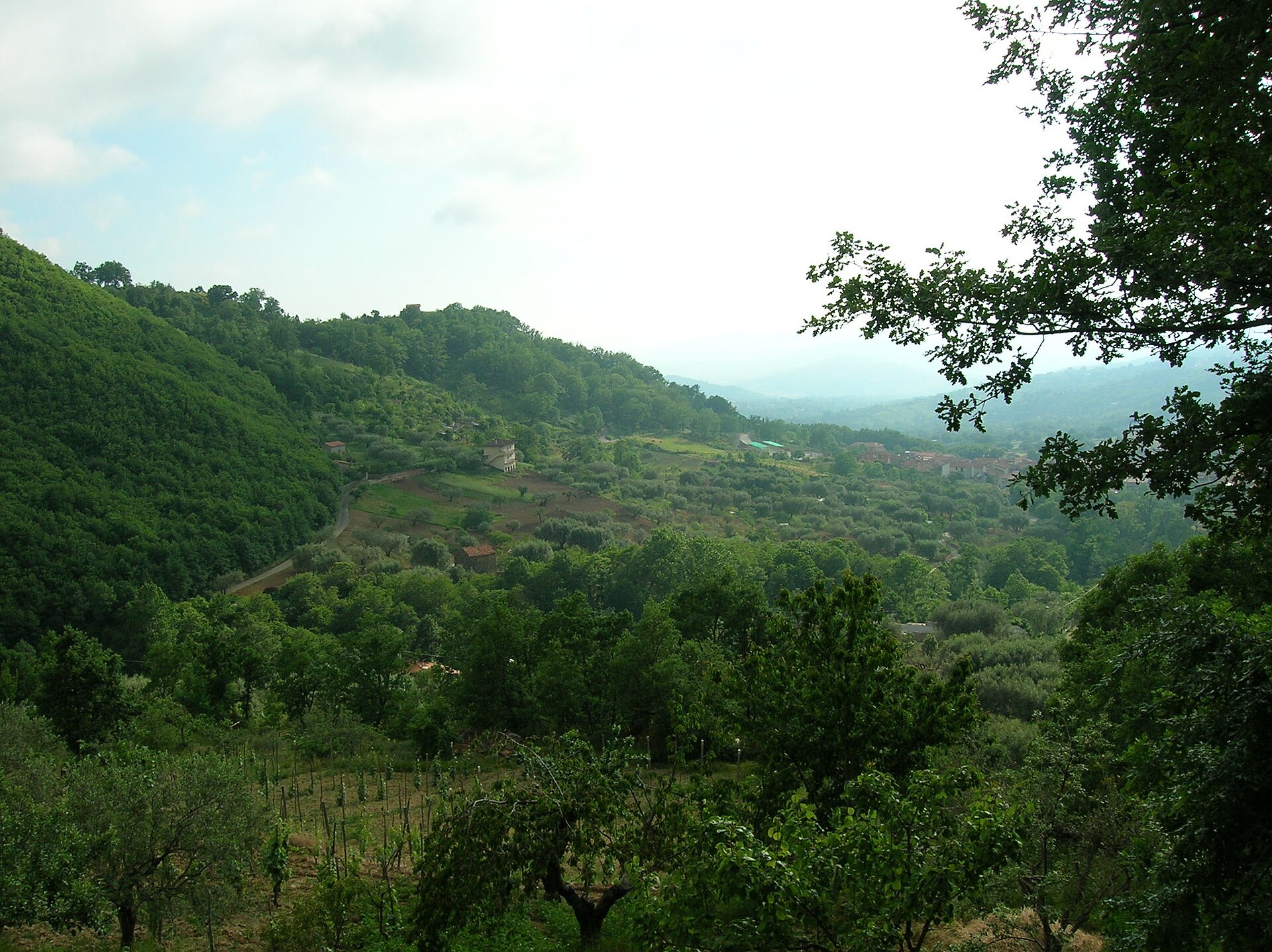
According to CORINE Land Cover (2018), the site is mainly made up of forests (52%), farmland (22%) and heath and scrub (8%). Woodland is mostly broadleaved. Elevation ranges from about 310 m to 2,267 m (highest point: Serra Dolcedorme). Median elevation is 851 m, and 36% of the site lies above 1,000 m (SRTM elevation model). The terrain is steep: 46% of slopes exceed 15° (mean slope 16°). The 44 Natura 2000 sites overlapping the area list 38 habitats of European interest (12 priority), the most extensive being Apennine beech forests with Abies alba and beech forests with Abies nebrodensis, Quercus ilex and Quercus rotundifolia forests and Apeninne beech forests with Taxus and Ilex.
Biodiversity
Based on occurrences aggregated by GBIF, several species are regularly recorded within the site. Among the most frequent are Fagus sylvatica (European Beech), Dianthus virgineus, Calicium salicinum (Spike lichen) and Carduus affinis. The full list of documented taxa is shown below. The overlapping Natura 2000 sites list 99 species of European interest: 42 birds, 18 mammals, 9 reptiles, 9 amphibians, 3 fish, 14 invertebrates and 4 plants.
Habitats of European interest
From the official forms of the 44 Natura 2000 sites overlapping the area (areas reported for each whole site).
- Apennine beech forests with Abies alba and beech forests with Abies nebrodensis priority 7,108 ha
- Quercus ilex and Quercus rotundifolia forests 4,981 ha
- Apeninne beech forests with Taxus and Ilex priority 4,619 ha
- Tilio-Acerion forests of slopes, screes and ravines priority 2,734 ha
- Pannonian-Balkanic turkey oak-sessile oak forests 1,741 ha
- Semi-natural dry grasslands and scrubland facies on calcareous substrates (Festuco-Brometalia) (* important orchid sites) 1,593 ha
- High oro-Mediterranean pine forests 550 ha
- Calcareous rocky slopes with chasmophytic vegetation 481 ha
and 30 more
Species of European interest
Birds · 42
Common Kingfisher (Alcedo atthis) breeding, Rock Partridge (Alectoris graeca) breeding resident, Tawny Pipit (Anthus campestris) breeding, Water Pipit (Anthus spinoletta) breeding, Tree Pipit (Anthus trivialis) breeding, Common Swift (Apus apus) breeding, Golden Eagle (Aquila chrysaetos) breeding resident, Great Egret (Ardea alba) wintering passage, Eurasian Eagle-owl (Bubo bubo) breeding resident, Eurasian Stone-curlew (Burhinus oedicnemus) breeding resident, Greater Short-toed Lark (Calandrella brachydactyla) breeding, European Nightjar (Caprimulgus europaeus) breeding and 30 more
Mammals · 18
Grey wolf (Canis lupus), Forest dormouse (Dryomys nitedula), Serotine bat (Eptesicus serotinus), European wildcat (Felis silvestris), Savi's Pipistrelle (Hypsugo savii), Eurasian otter (Lutra lutra), European pine marten (Martes martes), Common bent-wing bat (Miniopterus schreibersii), Hazel dormouse (Muscardinus avellanarius), Daubenton's bat (Myotis daubentonii), Lesser noctule (Nyctalus leisleri), Kuhl's pipistrelle (Pipistrellus kuhlii) and 6 more
Reptiles · 9
Smooth snake (Coronella austriaca), Four-lined snake (Elaphe quatuorlineata), European Pond Turtle (Emys orbicularis), Western Whip Snake (Hierophis viridiflavus), Western green lizard (Lacerta bilineata), Dice snake (Natrix tessellata), Common wall lizard (Podarcis muralis), Italian wall lizard (Podarcis siculus), Italian Aesculapian Snake (Zamenis lineatus)
Amphibians · 9
Apennine Yellow-bellied Toad (Bombina pachypus), Green Toad (Bufotes viridis complex), Italian Tree Frog (Hyla intermedia), Italian newt (Lissotriton italicus), Edible frog (Pelophylax esculentus), Agile frog (Rana dalmatina), Italian stream frog (Rana italica), Spectacled Salamander (Salamandrina terdigitata), Italian crested newt (Triturus carnifex)
Fish · 3
European brook lamprey (Lampetra planeri), South European Roach (Rutilus rubilio), Sicilian Trout (Salmo cetti)
Invertebrates · 14
Goldstreifiger (Buprestis splendens), Greater Capricorn Beetle (Cerambyx cerdo), Italian goldenring (Cordulegaster trinacriae), Cucujus cinnaberinus, Marsh fritillary (Euphydryas aurinia), Jersey Tiger (Euplagia quadripunctaria), Large Blue (Maculinea arion), Italian Marbled White (Melanargia arge), Osmoderma italicum, Clouded apollo (Parnassius mnemosyne), Rosalia longicorn (Rosalia alpina), Common Predatory Bush-cricket (Saga pedo) and 2 more
Plants · 4
Buxbaumia moss (Buxbaumia viridis), Adriatic lizard orchid (Himantoglossum adriaticum), Primula palinuri, Stipa austroitalica
Source: Natura 2000 standard data forms (EEA, CC-BY 4.0). Not exhaustive: sensitive species are not published.
Species to look out for

Observed species
Occurrences documented via GBIF; they are neither an exhaustive inventory nor proof of current presence.
- European Beech · Fagus sylvatica · 49
- Dianthus virgineus · 48
- Spike lichen · Calicium salicinum · 46
- Carduus affinis · 42
- Italian Alder · Alnus cordata · 40
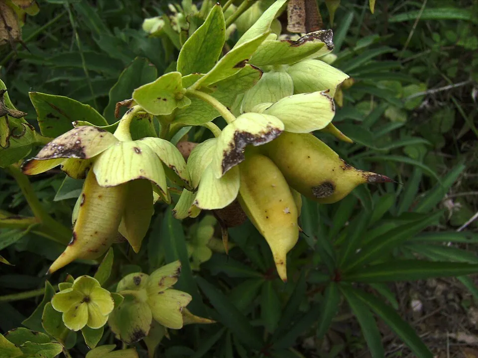
- Stinking Hellebore · Helleborus foetidus · 40
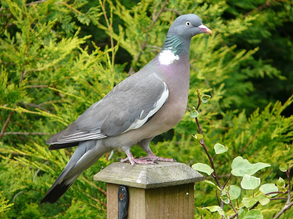
- Common Wood Pigeon · Columba palumbus · 39
- Dwarf Elder · Sambucus ebulus · 38
- Italian ironwort · Sideritis italica · 38
- Hooded Crow · Corvus cornix · 37
- Eurasian Chaffinch · Fringilla coelebs · 37
- European Goldfinch · Carduelis carduelis · 36
Records: GBIF.org (CC-BY). Names: Wikidata (CC0), GBIF. Photos: Wikimedia Commons.
Conservation challenges
The primary purpose of the site is to preserve its natural habitats and the biodiversity they support. The species recorded (Biodiversity tab) reflect its ecological value. The designations it holds frame its management and the control of land use.
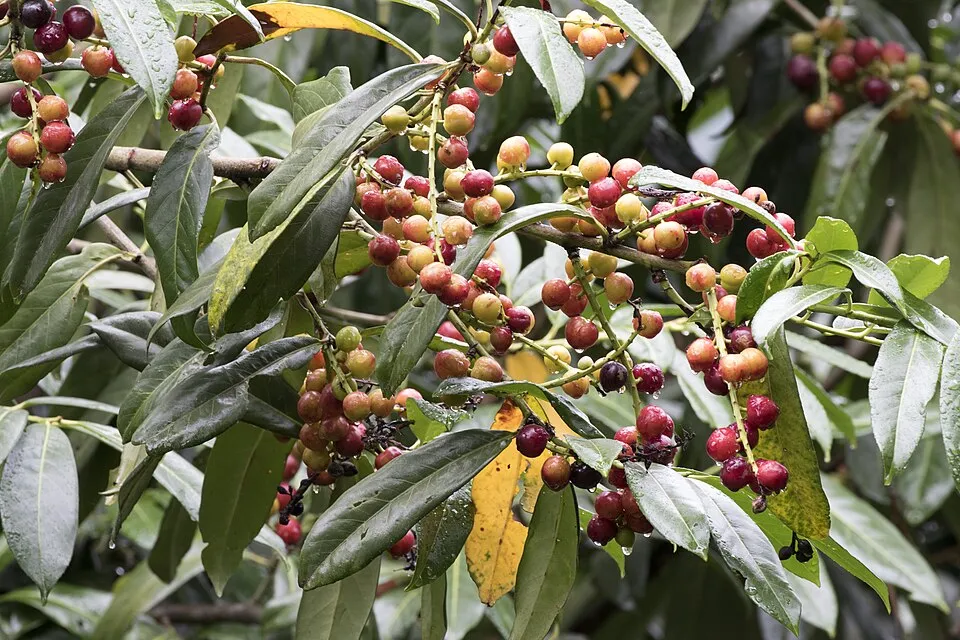
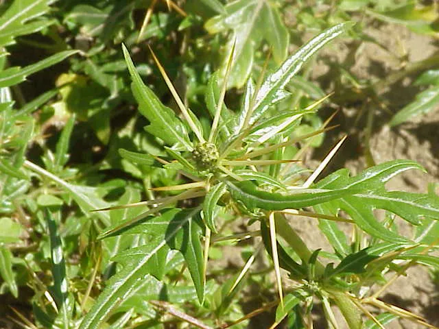
According to Global Forest Change data (University of Maryland, Global Forest Watch), about 2,410 ha of tree cover were lost within the boundary between 2001 and 2023 (1% of its area), peaking in 2017 and 2018. These losses include logging, storms and fires, and do not account for regrowth. According to the European CORINE Land Cover inventory (Copernicus), land cover changed on about 2,520 ha of the site between 1990 and 2018 (1% of its area). Since 2016, the European EFFIS system (Copernicus) has mapped 176 fires here, burning about 11,945 ha within the boundary; the largest, in July 2026 (near Castrovillari), covered 1,064 ha. At night, 7% of the area gives off artificial light detectable from space (NASA VIIRS Black Marble composite, 2016). According to the Natura 2000 forms, of 37 assessed habitats of European interest, 18 are in excellent condition and 3 in average or reduced condition. According to the Water Framework Directive assessment (2022 river basin management plans, data 2016–2020), only 40% of the 160 km of rivers assessed within the site are in good or high ecological status; the others mostly have moderate ecological status. Other assessed water bodies: lakes, 2 of 2 in good ecological status or better. Since 2000, 8 invasive alien species have been recorded within the site (GBIF observations), one of them listed as of Union concern under EU Regulation 1143/2014. Among them: Ailanthus altissima (Tree-of-heaven), Gomphocarpus fruticosus (Swan Plant) and Syringa vulgaris (Common Lilac).
Pressure indicators
Tree cover lost
2,409 ha
2001–2023 · 1% of the area
20012023
Fires since 2016
11,945 ha
burned within the boundary (176 mapped fires)
- 2026 · Castrovillari · 1,064 ha
- 2017 · Santa Domenica Talao · 561 ha
- 2023 · Santa Domenica Talao · 531 ha
Light at night
7%
of the area gives off artificial light visible from space
DarkLit
Built-up land
< 1%
buildings, business areas, roads, quarries · farmland 22%
Land cover change
2,520 ha
changed cover, 1990–2018 · CORINE · 1% of the area
Rivers and lakes
40%
of the 160 km of assessed rivers in good or high ecological status · WFD 2022
Lakes: 2 of 2 good or better
assessments 2016–2020
Invasive alien species
8
incl. 1 of EU concern · since 2000
 Tree-of-heavenEU
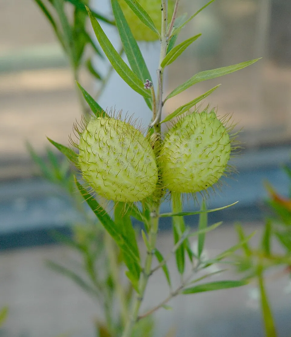 Swan Plant
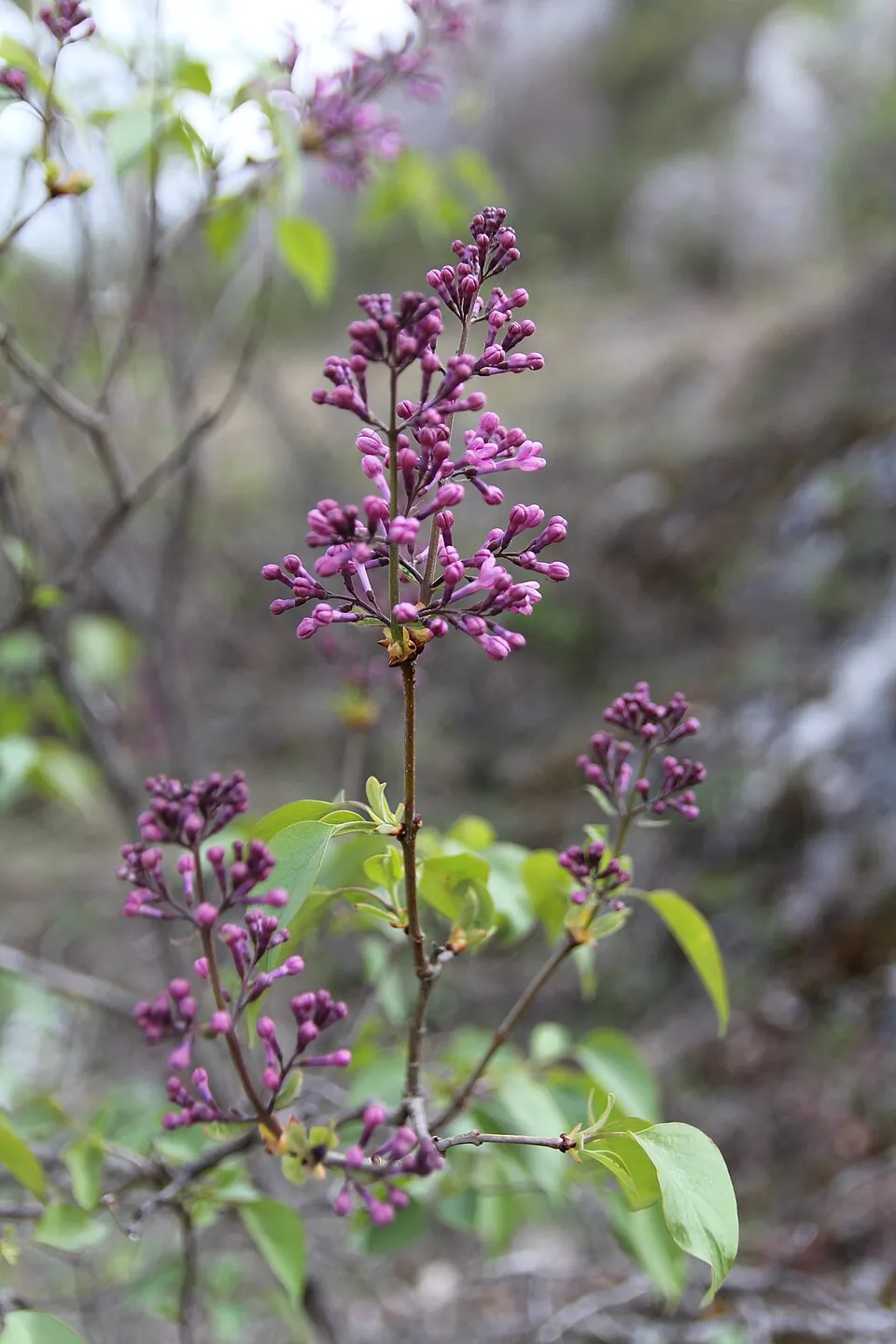 Common Lilac
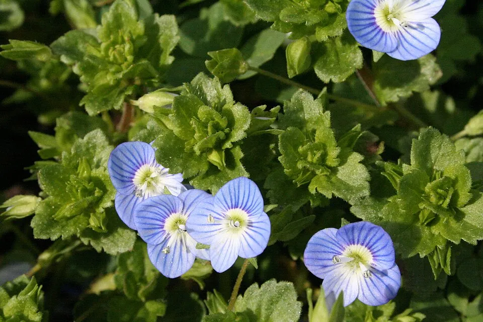 Common field-speedwell
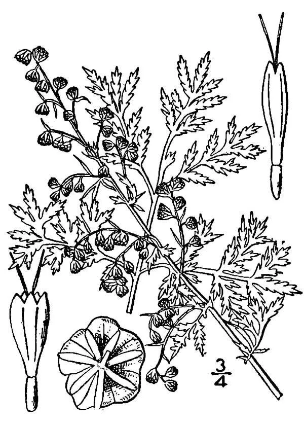 Sweet sagewort
 Cherry laurel
 Japanese rose
 Spiny cocklebur
Photos: Tree-of-heaven © Darkone · CC BY-SA 2.5; Swan Plant © Carstor · CC BY-SA 3.0; Common Lilac © Aporia.j · CC BY-SA 4.0; Common field-speedwell © Strobilomyces · CC BY-SA 3.0; Sweet sagewort © JoJan · Public domain; Cherry laurel © Zeynel Cebeci · CC BY-SA 4.0; Japanese rose © Vihljun · Public domain; Spiny cocklebur © Kurt Stüber [1] · CC BY-SA 3.0
Sources: Global Forest Change (Hansen et al., University of Maryland, via Global Forest Watch, CC-BY 4.0); EFFIS, European Commission / Copernicus; NASA Black Marble 2016 (public domain); CORINE Land Cover 2018 (Copernicus) or MODIS.
CORINE Land Cover Change 1990–2018: generated using European Union's Copernicus Land Monitoring Service information (EEA), aggregated by Parkavela; DOI 10.2909/f30f1000-7cf8-43bb-872c-5eb093911b24.
Ecological status of water bodies: European Environment Agency, WISE – Water Framework Directive, 3rd river basin management plans (2022), CC BY 4.0. Official national classification, not comparable between countries.
Invasive alien species: Global Register of Introduced and Invasive Species (ISSG, CC BY 4.0); Union list, Regulation (EU) 1143/2014 (INBO, CC0); GBIF.org records (CC0 / CC BY 4.0), at least 2 per species.
Practical information
Cities and airport
- Corigliano-Rossano
29 km as the crow flies - Cosenza
42 km as the crow flies - Airport: Lamezia Terme (SUF)
84 km as the crow flies
Visitor information
- Ufficio Informazioni Turistiche
within the site - Centro visite
within the site - Ufficio Informazioni
within the site - Catasta Pollino
within the site
Parking
118 public car parks listed within the site
Rotonda Gole di JannaceTerminal Bus di Francavilla in SinniPiazza Aldo MoroParcheggio Hotel Regina
Things to see
67 viewpoints · 6 waterfalls · 14 lakes and ponds · 1 natural arch · 26 caves
- Belvedere Alcide De Gasperi - Statista
viewpoint · 1,674 m - Cascata Ficara
waterfall - Lago Fondo
lake or pond · 1,510 m - Occhio di S. Anna
natural arch - Grotta delle Sirene
cave · 856 m
Where to stay
32 mountain huts · 12 campsites
- Rifugio pino loricato
Staffed hut · 1,537 m - Agricampeggio Lo Scoiattolo
campsite - Rifugio Belvedere
Staffed hut · 1,355 m - Area attrezzata Sottosero
campsite - Rifugio Piano di Lanzo
Staffed hut · 1,352 m
Hiking
137 waymarked routes listed
Trail difficulty
- T1 · easy hiking · 25% · 52 km
- T2 · mountain hiking · 55% · 102 km
- T3–T6 · demanding or alpine hiking · 20% · 37 km
191 km graded out of 1,157 km of paths
SAC scale (T1–T6) © OpenStreetMap contributors (ODbL): indicative only, check with the park.
By bike
EV7 · 49 km Appennino Bike Tour [ABT] · 114 kmCPC Ciclovia dei Parchi della Calabria · 47 kmLCI Lagonegro-Cassano allo Ionio · 38 km
Signed cycle routes: this does not mean that cycling is allowed on footpaths.
Wheelchair access
- Ufficio Informazioni
visitor information
accessible toilets: 1
Reported by OpenStreetMap contributors (ODbL); check with the park before visiting.
Data © OpenStreetMap contributors (ODbL) · Wikidata (CC0)
Contains information from EuroVelo GPX tracks downloaded from www.EuroVelo.com on 2026-10-22, which is made available here under the Open Database License (ODbL). EuroVelo® is a registered trademark of the ECF. Routes © OpenStreetMap contributors (ODbL), via Waymarked Trails
Waymarked hiking routes
Tracks © OpenStreetMap contributors (ODbL), clipped to the boundary; elevation gain and profiles computed on the longest section from Mapzen Terrain Tiles (≈ 30 m), indicative only.
Access and visiting
The nearest railway station is Belvedere Marittimo, about 3 km from the site boundary. Nearest towns of over 50,000 people, as the crow flies: Corigliano-Rossano (29 km) and Cosenza (42 km). Nearest airport: Lamezia Terme (SUF), about 84 km away. About 290,000 people live within 20 km of the site boundary, 180,000 of them within 10 km; some 40,000 people are estimated to live inside (GHSL estimate, 2020). This population has fallen by about 15% since 2000. Visitor information on site: Ufficio Informazioni Turistiche, Centro visite and Ufficio Informazioni. Public car parks listed within the site: 118, including Rotonda Gole di Jannace, Terminal Bus di Francavilla in Sinni and Piazza Aldo Moro. Waymarked hiking routes listed in OpenStreetMap: 137. Of the roughly 190 km of paths with a difficulty grade in OpenStreetMap, 25% are easy hiking (T1), 55% mountain hiking (T2) and 20% demanding or alpine hiking (T3–T6). This is indicative only: check with the park. The EuroVelo 7 cycle route (Sun Route) crosses the site for about 49 km, mostly developed and signed; 3 other signed cycle routes also pass through, including “Appennino Bike Tour [ABT]” and “CPC Ciclovia dei Parchi della Calabria” (EuroVelo, OpenStreetMap). OpenStreetMap contributors list one wheelchair-accessible place: Ufficio Informazioni; check with the park before visiting. To see: 67 viewpoints, 6 waterfalls, 14 lakes and ponds, 1 natural arch and 26 caves, including Belvedere Alcide De Gasperi - Statista (1,674 m), Cascata Ficara, Lago Fondo (1,510 m) and Occhio di S. Anna. Where to stay: 32 mountain huts and 12 campsites, including Rifugio pino loricato (1,537 m), Agricampeggio Lo Scoiattolo and Rifugio Belvedere (1,355 m). To plan a visit (access, opening periods, visitor rules), it is best to consult the official information from the managing body and the official website listed in this page's sources.
Source: OpenStreetMap (ODbL), Wikidata (CC0), October 2026.
Built heritage
According to Wikidata, 82 monuments protected as Italian national cultural heritage stand within the boundary. Among them are 22 houses and civic buildings, 21 religious buildings and 8 castles and fortifications. Examples include “Santa Maria del Sagittario abbey” in Chiaromonte, “Castello Sanseverino” in Chiaromonte and “Romito Cave” in Papasidero.
22 houses and civic buildings21 religious buildings8 castles and fortifications7 bridges, lighthouses, mills and working buildings3 prehistoric and archaeological sites
-
Santa Maria del Sagittario abbey
Chiaromonte · 12th c. -
Castello Sanseverino
Chiaromonte -
Romito Cave
Papasidero -
Ecomuseo del paesaggio della Valle del Raganello
Civita -
Mulino Iannarelli
San Severino Lucano -
Antiquarium di Papasidero
Papasidero -
Chapel of Madonna delle Grazie
Terranova di Pollino -
Castello della Rocca
San Sosti
and 74 more
Source: Wikidata (CC0), monuments in each country’s official heritage protection registers, at national or regional level. Each item links to its Wikidata entry.
When to visit
Best time to visit: from May to October, with average temperatures of 10 to 18 °C and moderate rainfall. These averages apply to the site's representative point (1,515 m); higher up it is markedly cooler and snow lasts longer. Day length ranges from about 9 h 21 min in December to 14 h 59 min in June. Wildlife records published on GBIF peak for birds (January), plants (June) and butterflies and moths (August). These peaks also reflect when observers are most active.
Source: Copernicus ERA5-Land (C3S), monthly averages 1996–2025 at the representative point, temperatures adjusted for elevation.
Contains modified Copernicus Climate Change Service information 2026. Neither the European Commission nor ECMWF is responsible for any use that may be made of the Copernicus information or data it contains.
Wildlife records calendar
JFMAMJJASOND
Birds
Plants
Butterflies & moths
Monthly records published on GBIF (CC-BY), relative to the busiest month; also reflects observer activity.
Gallery
© Potito m. petrone · CC BY-SA 3.0
© Potito m. petrone · CC BY-SA 3.0
© Fuoco Fatuo · CC0-1.0
© Luca Raimondi · CC BY-SA 3.0
© Vinc81 · CC BY-SA 3.0
© Maurizio D. · CC BY-SA 4.0
Sources and licences
- Wikidata: Q1072838
- Official website: https://parconazionalepollino.it/
- Wikipedia: en.wikipedia.org/wiki/Pollino_National_Park
- WDPA: 63052
References
- cds.climate.copernicus.eu: climate · CC-BY-4.0
- registry.opendata.aws: elevation of the reference point, detailed relief · PD
- land.copernicus.eu: land cover, land cover change, sea share · COPERNICUS
- doi.org: population around the site · CC-BY-4.0
- wikidata.org: official area, establishment date, protected heritage, nearby cities and airport, access and peaks, lake depths, places to see, official website · CC0-1.0
- eea.europa.eu: bathing water quality, ecological status of waters · CC-BY-4.0
- en.eurovelo.com: EuroVelo cycle routes · ODbL-1.0
- cycling.waymarkedtrails.org: cycle routes · ODbL-1.0
- opentopodata.org: elevations · PD
- forest-fire.emergency.copernicus.eu: wildfires · COPERNICUS
- globalforestwatch.org: tree cover loss · CC-BY-4.0
- gbif.org: seasonality of sightings, invasive alien species, observed species · CC-BY-4.0
- europe-geology.eu: geology · CC-BY-4.0
- hydrosheds.org: lakes · CC-BY-4.0
- natura2000.eea.europa.eu: Natura 2000 habitats and species · CC-BY-4.0
- openstreetmap.org: official name, access and peaks, places to see, trail difficulty, wheelchair access · ODbL-1.0
- earthobservatory.nasa.gov: night light · PD
- hiking.waymarkedtrails.org: route difficulty · ODbL-1.0
- nsidc.org: snow cover · PD
- wikidata.org: Wikipedia article · CC-BY-SA-4.0
Data © OpenStreetMap contributors (ODbL), Wikidata (CC0) and the sources cited.