Plant
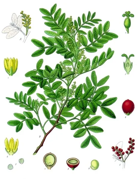
Mastic Tree
Pistacia lentiscus261 records © Franz Eugen Köhler, Köhler's Medizinal-Pflanzen · Public domain
Italy · Terrestrial
National park of 181,100 hectares in Italy, established in 1991.
National park of 181,100 hectares in Italy, established in 1991.
Cilento, Vallo di Diano and Alburni National Park is located in Italy (Europe). It is a predominantly terrestrial area. Established on 6 December 1991, it covers about 181,100 hectares.
Protected as a national park. International labels and designations: Natura 2000 network (32 sites). Key dates: established in 1991 and first Natura 2000 site under the Birds Directive in 1999.
Sources: Wikidata (CC0) for establishment and international labels; EEA Natura 2000 database (CC-BY 4.0) for site designation dates.
In Italy (Europe). Representative point: 40.2000° N, 15.2000° E.
About 181,100 hectares (1,811 km²). It is the largest of the 26 national parks in Italy covered by Parkavela.
On 6 December 1991.
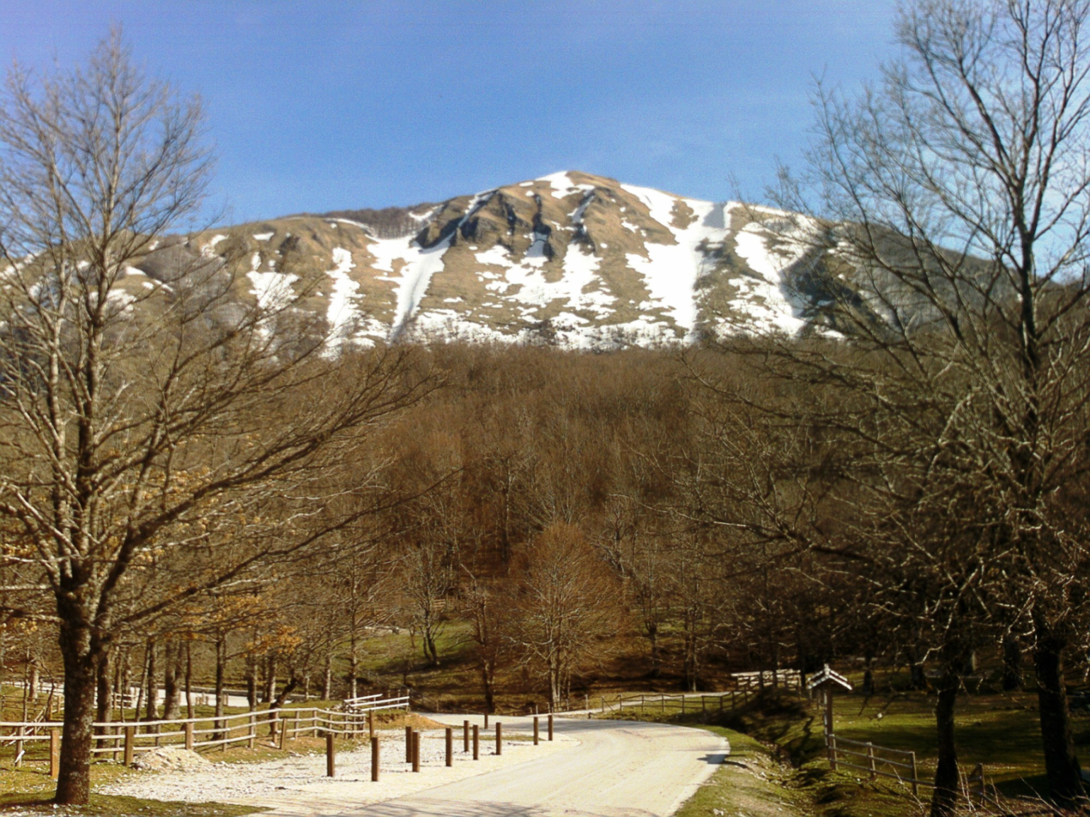
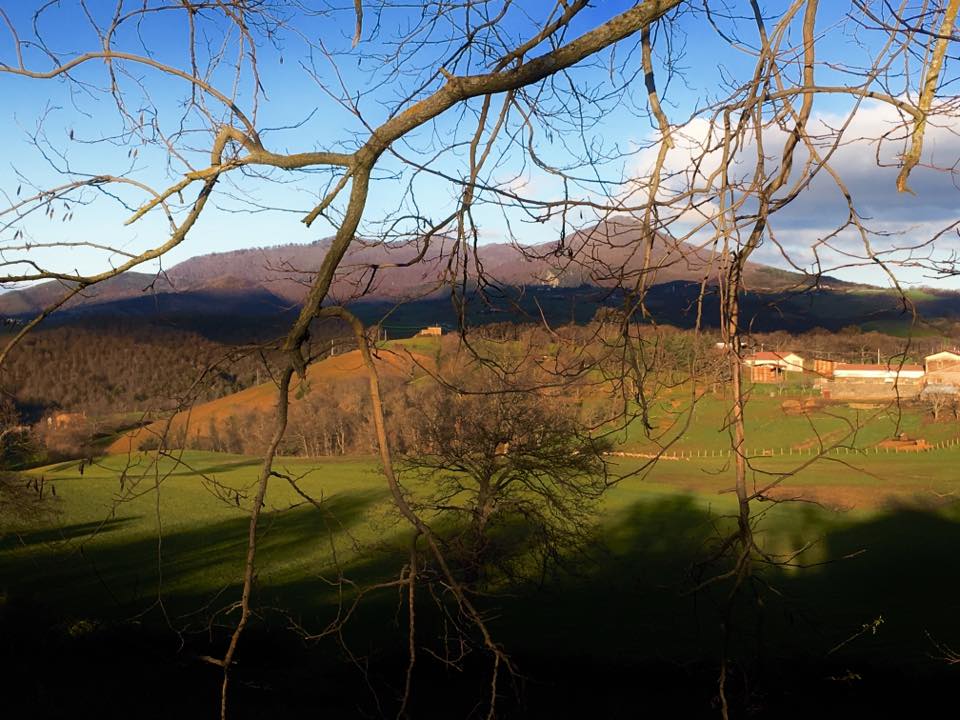
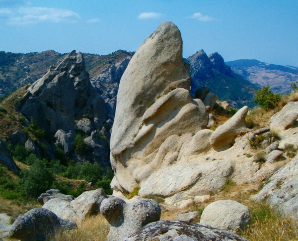
A terrestrial area, with forests, mountains and coasts.
According to the European 1:1 million geological map (EGDI), the bedrock consists mainly of limestones (60% of sampled points) and marly limestones (27%). These are mostly sedimentary rocks. The geological units date mainly from the Jurassic (40% of sampled points).
Monte Cervati, at 1,899 m (OpenStreetMap).
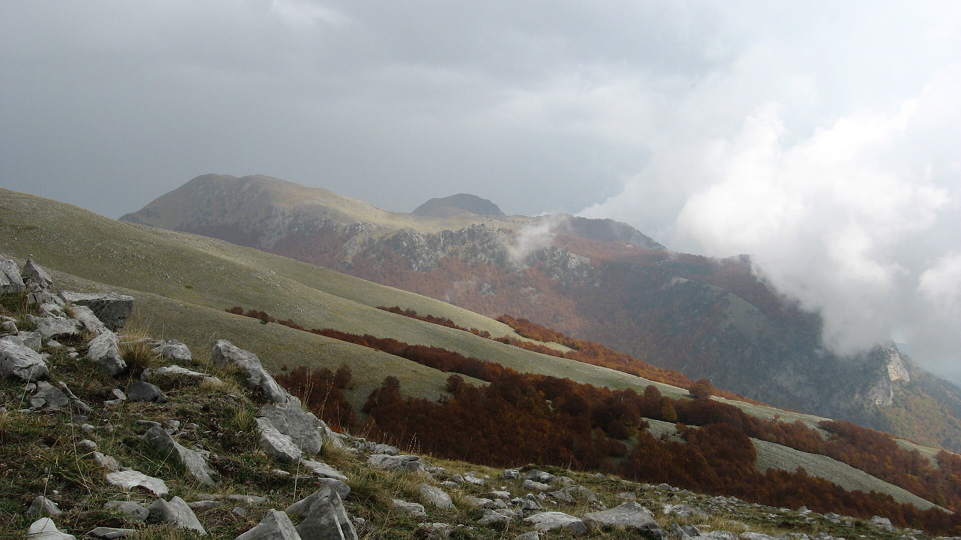
Monte Cervati (1,899 m), la Nevera (1,838 m), Cima di Mercori (1,788 m), Monte Motola (vetta) (1,743 m) and Monte Panormo (1,742 m) (OpenStreetMap).
Natura 2000 network (32 sites).
Best time to visit: from April to June, with average temperatures of 14 to 23 °C and moderate rainfall.
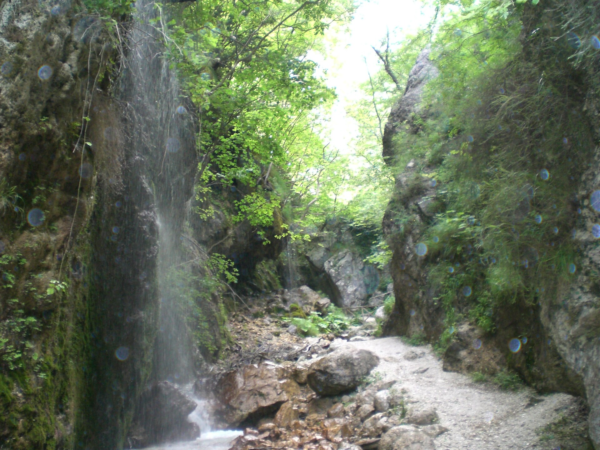
168 viewpoints, 10 waterfalls, 5 lakes and ponds, 1 natural arch, 165 caves and 1 glacier, including Vista sulla Valle del Mingardo (1,474 m), Cascata del Solofrone, Bacino Idrico and Grotta "ru savucu" (OpenStreetMap).
16 mountain huts and 35 campsites, including Casino Sierro, Arco Naturale Club and Casone Aresta (OpenStreetMap).
Yes. According to Wikidata, 62 monuments protected as Italian national cultural heritage stand within the boundary. For example: “San Mauro Martire” in Magliano Vetere, “Castello dell'abate” in Castellabate and “Antiquarium” in Centola.
60 monitored bathing sites lie in or within 1 km of the site; official 2025 classification: 60 excellent (European Environment Agency). Swimming is only permitted at the sites and times authorised locally.
Nearest towns of over 50,000 people, as the crow flies: Potenza (30 km) and Salerno (35 km). Nearest airport: Salerno Costa d'Amalfi (QSR), about 22 km away.
Ascea railway station lies within the site.
Info point Casal Velino, Proloco Camerota and Oasi wwf Grotte del Bussento - Tickets.
Yes. Waymarked hiking routes listed in OpenStreetMap: 110, including E 1 and E 12. The “European Long distance path E1 - part Italy - Campania” route runs for about 60 km through the site, with some 910 m of ascent on its longest section.
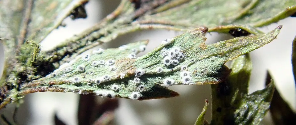
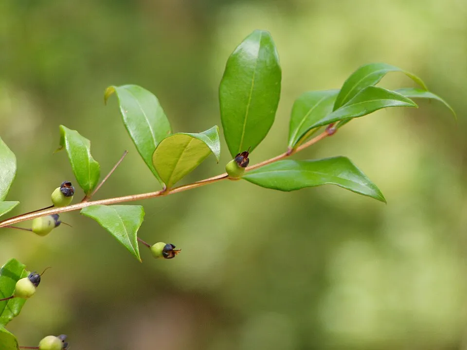
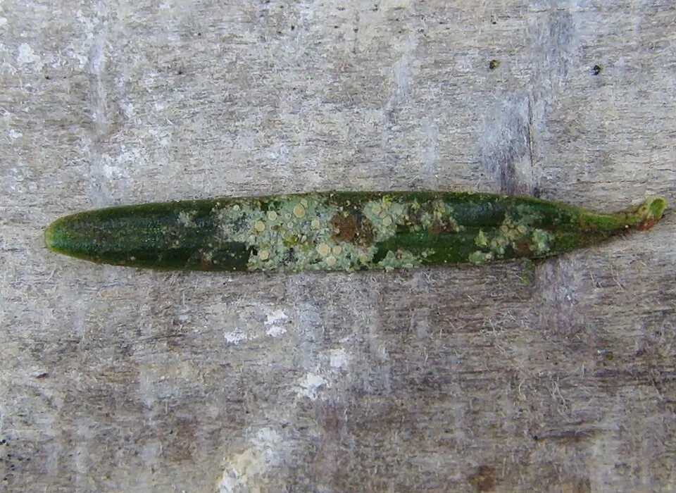
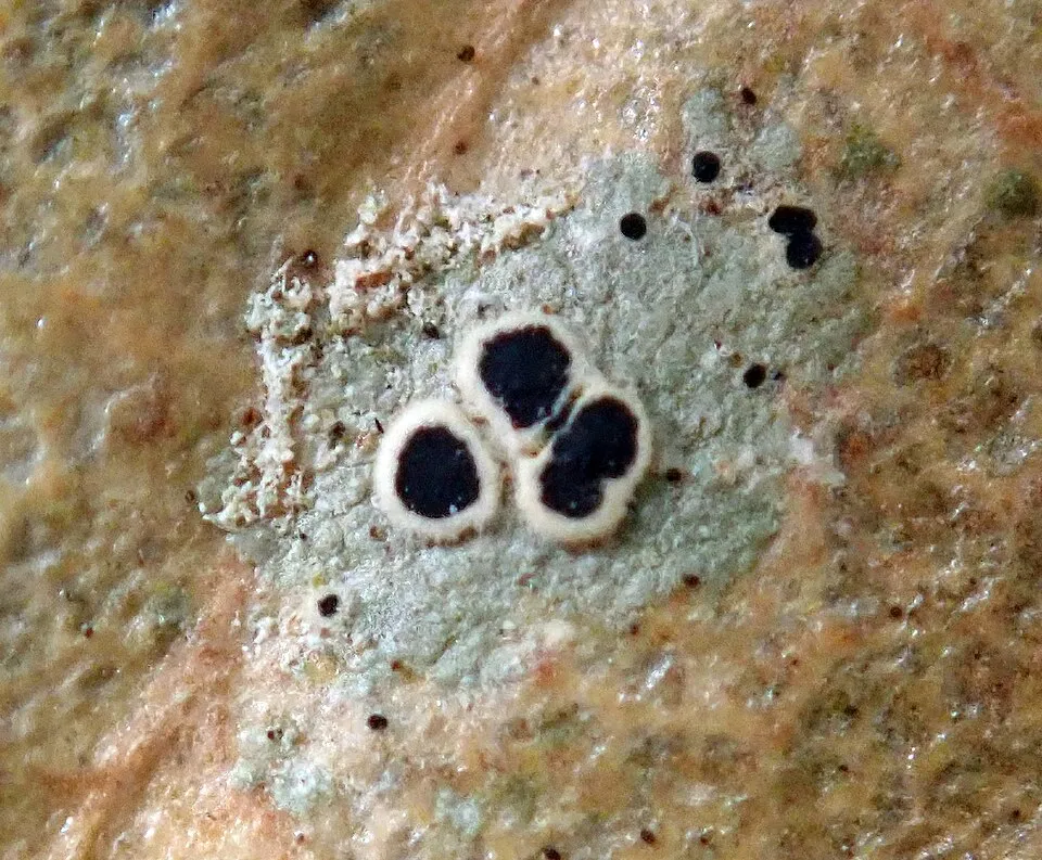
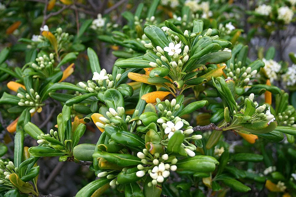
Among the species most often recorded on GBIF are Pistacia lentiscus (Mastic Tree), Gyalectidium puntilloi, Byssoloma leucoblepharum (Byssoloma lichen) and Strigula buxi.
© OpenStreetMap
Download the boundary: GeoJSON · GPX Boundary © OpenStreetMap contributors (ODbL).
The representative point of the site lies at around 90 m above sea level. Over the 1996–2025 period, the mean annual temperature is about 16.7 °C and total precipitation reaches roughly 1,295 mm per year. The warmest month is usually August, the coolest January, and the wettest November. According to the European 1:1 million geological map (EGDI), the bedrock consists mainly of limestones (60% of sampled points) and marly limestones (27%). These are mostly sedimentary rocks. The geological units date mainly from the Jurassic (40% of sampled points).
Terrain: Mapzen Terrain Tiles (SRTM, USGS)
share of the site in each elevation band (smoothed terrain model: summits are rounded off) · Terrain: Mapzen Terrain Tiles (SRTM, USGS)
Sedimentary rocks 100 % · Main age: Jurassic (40%)
Source: EGDI 1:1M geological map (EuroGeoSurveys and national geological surveys), CC BY 4.0 · 15 sampled points within the site.
Data © OpenStreetMap contributors (ODbL)
● Mean temperature (°C) · ▮ Precipitation (mm)
Source: Copernicus ERA5-Land (C3S, doi:10.24381/cds.68d2bb30), monthly averages 1996–2025 interpolated to the representative point, temperatures adjusted for elevation.
Contains modified Copernicus Climate Change Service information 2026. Neither the European Commission nor ECMWF is responsible for any use that may be made of the Copernicus information or data it contains.
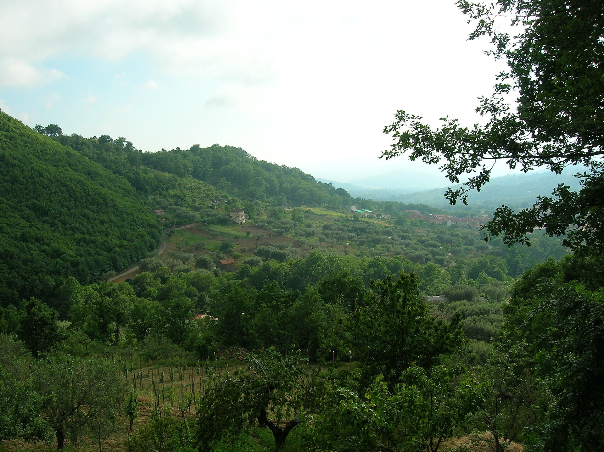
According to CORINE Land Cover (2018), the site is mainly made up of forests (53%), farmland (24%) and heath and scrub (6%). Woodland is mostly broadleaved. The site borders the coast. Elevation ranges from about 60 m to 1,899 m (highest point: Monte Cervati). Median elevation is 596 m, and 21% of the site lies above 1,000 m (SRTM elevation model). The terrain is steep: 44% of slopes exceed 15° (mean slope 15°). The 32 Natura 2000 sites overlapping the area list 41 habitats of European interest (10 priority), the most extensive being Apeninne beech forests with Taxus and Ilex, Pannonian-Balkanic turkey oak-sessile oak forests and Quercus ilex and Quercus rotundifolia forests.
Based on occurrences aggregated by GBIF, several species are regularly recorded within the site. Among the most frequent are Pistacia lentiscus (Mastic Tree), Gyalectidium puntilloi, Byssoloma leucoblepharum (Byssoloma lichen) and Strigula buxi. The full list of documented taxa is shown below. The overlapping Natura 2000 sites list 154 species of European interest: 67 birds, 32 mammals, 9 reptiles, 9 amphibians, 9 fish, 20 invertebrates and 8 plants.
From the official forms of the 32 Natura 2000 sites overlapping the area (areas reported for each whole site).
and 33 more
Eurasian Skylark (Alauda arvensis) wintering passage breeding, Common Kingfisher (Alcedo atthis) passage resident, Rock Partridge (Alectoris graeca) resident, Tawny Pipit (Anthus campestris) breeding passage, Water Pipit (Anthus spinoletta) breeding, Tree Pipit (Anthus trivialis) breeding, Golden Eagle (Aquila chrysaetos) resident passage, Purple Heron (Ardea purpurea) passage, Eurasian Eagle-owl (Bubo bubo) resident, Greater Short-toed Lark (Calandrella brachydactyla) passage, Scopoli's Shearwater (Calonectris diomedea) passage wintering, European Nightjar (Caprimulgus europaeus) passage breeding and 55 more
Barbastelle (Barbastella barbastellus), Grey wolf (Canis lupus), Serotine bat (Eptesicus serotinus), European wildcat (Felis silvestris), Savi's Pipistrelle (Hypsugo savii), Crested porcupine (Hystrix cristata), Eurasian otter (Lutra lutra), European pine marten (Martes martes), Common bent-wing bat (Miniopterus schreibersii), Alcathoe Whiskered Bat (Myotis alcathoe), Bechstein's bat (Myotis bechsteinii), Lesser mouse-eared myotis (Myotis blythii) and 20 more
Loggerhead sea turtle (Caretta caretta), Smooth snake (Coronella austriaca), Four-lined snake (Elaphe quatuorlineata), Western Whip Snake (Hierophis viridiflavus), Western green lizard (Lacerta bilineata), Dice snake (Natrix tessellata), Common wall lizard (Podarcis muralis), Italian wall lizard (Podarcis siculus), Italian Aesculapian Snake (Zamenis lineatus)
Apennine Yellow-bellied Toad (Bombina pachypus), Green Toad (Bufotes viridis complex), Italian Tree Frog (Hyla intermedia), Italian newt (Lissotriton italicus), Edible frog (Pelophylax esculentus), Agile frog (Rana dalmatina), Italian stream frog (Rana italica), Spectacled Salamander (Salamandrina terdigitata), Italian crested newt (Triturus carnifex)
Italian bleak (Alburnus albidus), Twait shad (Alosa fallax), Horse Barbel (Barbus tyberinus), European river lamprey (Lampetra fluviatilis), European brook lamprey (Lampetra planeri), Sea lamprey (Petromyzon marinus), South European Roach (Rutilus rubilio), Sicilian Trout (Salmo cetti), Italian Riffle Dace (Telestes muticellus)
White-clawed Crayfish (Austropotamobius pallipes), Centrostephanus longispinus, Greater Capricorn Beetle (Cerambyx cerdo), Southern damselfly (Coenagrion mercuriale), Red coral (Corallium rubrum), Italian goldenring (Cordulegaster trinacriae), Cucujus cinnaberinus, Marsh fritillary (Euphydryas aurinia), Jersey Tiger (Euplagia quadripunctaria), European date mussel (Lithophaga lithophaga), Large Blue (Maculinea arion), Italian Marbled White (Melanargia arge) and 8 more
Dianthus rupicola, Eokochia saxicola, Snowdrop (Galanthus nivalis), Great Yellow Gentian (Gentiana lutea), Adriatic lizard orchid (Himantoglossum adriaticum), Primula palinuri, Butcher's-broom (Ruscus aculeatus), Stipa austroitalica
Source: Natura 2000 standard data forms (EEA, CC-BY 4.0). Not exhaustive: sensitive species are not published.
Plant
261 records © Franz Eugen Köhler, Köhler's Medizinal-Pflanzen · Public domain
Occurrences documented via GBIF; they are neither an exhaustive inventory nor proof of current presence.
Records: GBIF.org (CC-BY). Names: Wikidata (CC0), GBIF. Photos: Wikimedia Commons.
The primary purpose of the site is to preserve its natural habitats and the biodiversity they support. The species recorded (Biodiversity tab) reflect its ecological value. The designations it holds frame its management and the control of land use.
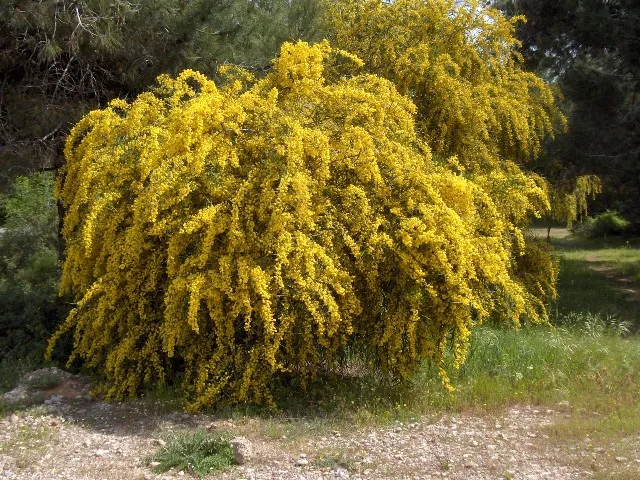
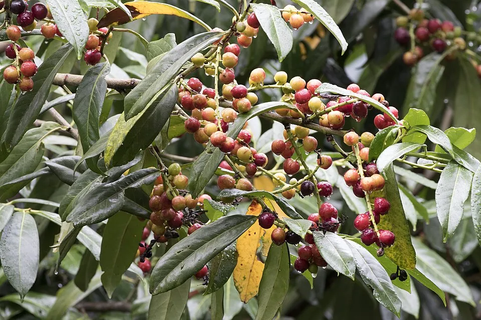
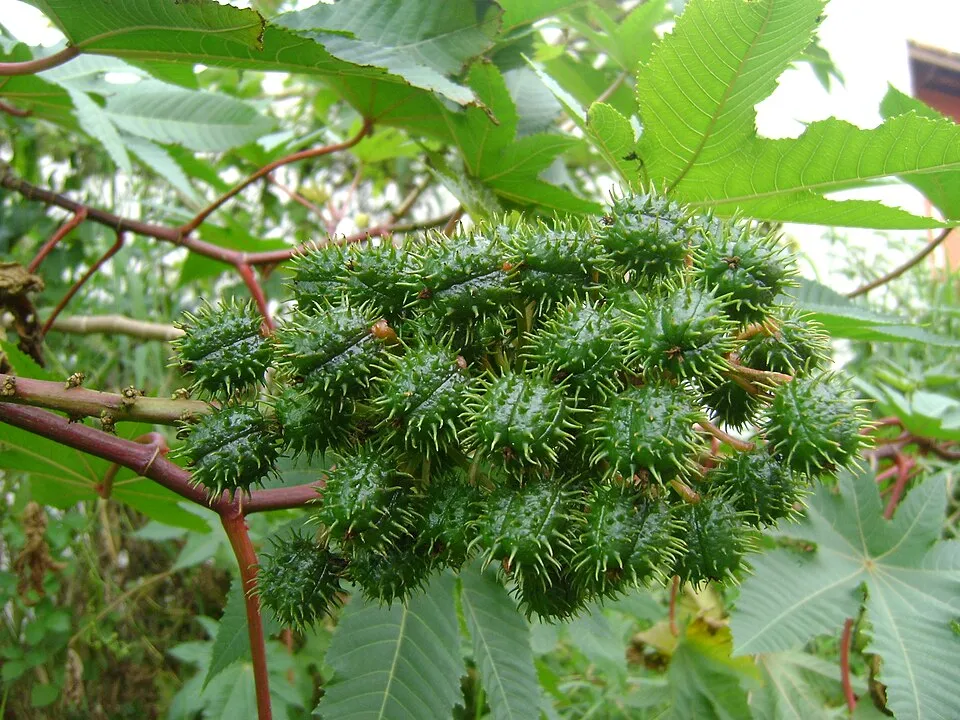
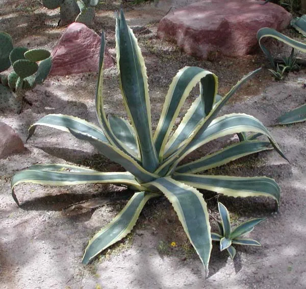
According to Global Forest Change data (University of Maryland, Global Forest Watch), about 5,870 ha of tree cover were lost within the boundary between 2001 and 2023 (3% of its area), peaking in 2017 and 2023. These losses include logging, storms and fires, and do not account for regrowth. According to CORINE Land Cover, land cover here remained almost unchanged between 1990 and 2018 (less than 0.5% of the area affected); only some 71 ha were built over. Since 2016, the European EFFIS system (Copernicus) has mapped 98 fires here, burning about 3,970 ha within the boundary; the largest, in July 2017 (near San Rufo), covered 355 ha. At night, 22% of the area gives off artificial light detectable from space (NASA VIIRS Black Marble composite, 2016). Built-up and developed land (buildings, business areas, roads, quarries) covers 1% of the area, and farmland 24% (CORINE Land Cover). According to the Natura 2000 forms, of 37 assessed habitats of European interest, 20 are in excellent condition and 7 in average or reduced condition. According to the Water Framework Directive assessment (2022 river basin management plans, data 2015–2020), 75% of the 252 km of rivers assessed within the site are in good or high ecological status. Other assessed water bodies: coastal waters, 6 of 6 in good ecological status or better. Since 2000, 16 invasive alien species have been recorded within the site (GBIF observations), 3 of them listed as of Union concern under EU Regulation 1143/2014. Among them: Broussonetia papyrifera (Paper mulberry), Ailanthus altissima (Tree-of-heaven) and Acacia saligna (Orange wattle).
5,873 ha
2001–2023 · 3% of the area
3,970 ha
burned within the boundary (98 mapped fires)
22%
of the area gives off artificial light visible from space
1%
buildings, business areas, roads, quarries · farmland 24%
< 0.5%
of the area changed, 1990–2018 · CORINE
75%
of the 252 km of assessed rivers in good or high ecological status · WFD 2022
Coastal waters: 6 of 6 good or better
assessments 2015–2020
16
incl. 3 of EU concern · since 2000
 Paper mulberryEU
 Tree-of-heavenEU
 Orange wattleEU
 Bermuda buttercup
 Cherry laurel
 Castor oil plant
 American century plant
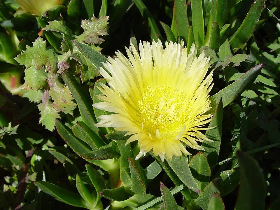 Hottentot-fig
Photos: Paper mulberry © Didier Descouens · CC BY-SA 4.0; Tree-of-heaven © Darkone · CC BY-SA 2.5; Orange wattle © JoJan · CC BY-SA 3.0; Bermuda buttercup © MathKnight and Zachi Evenor אביר המתמטיקה וצחי אבנור · CC BY-SA 4.0; Cherry laurel © Zeynel Cebeci · CC BY-SA 4.0; Castor oil plant © Onjacktallcuca · Public domain; American century plant © Stan Shebs · CC BY-SA 3.0; Hottentot-fig © Taken by Carsten Niehaus (user:Lumbar). · CC BY-SA 3.0
Sources: Global Forest Change (Hansen et al., University of Maryland, via Global Forest Watch, CC-BY 4.0); EFFIS, European Commission / Copernicus; NASA Black Marble 2016 (public domain); CORINE Land Cover 2018 (Copernicus) or MODIS.
CORINE Land Cover Change 1990–2018: generated using European Union's Copernicus Land Monitoring Service information (EEA), aggregated by Parkavela; DOI 10.2909/f30f1000-7cf8-43bb-872c-5eb093911b24.
Ecological status of water bodies: European Environment Agency, WISE – Water Framework Directive, 3rd river basin management plans (2022), CC BY 4.0. Official national classification, not comparable between countries.
Invasive alien species: Global Register of Introduced and Invasive Species (ISSG, CC BY 4.0); Union list, Regulation (EU) 1143/2014 (INBO, CC0); GBIF.org records (CC0 / CC BY 4.0), at least 2 per species.
379 public car parks listed within the site
168 viewpoints · 10 waterfalls · 5 lakes and ponds · 1 natural arch · 165 caves · 1 glacier
16 mountain huts · 35 campsites
110 waymarked routes listed, including:
Signed cycle routes: this does not mean that cycling is allowed on footpaths.
Data © OpenStreetMap contributors (ODbL) · Wikidata (CC0)
Contains information from EuroVelo GPX tracks downloaded from www.EuroVelo.com on 2026-10-22, which is made available here under the Open Database License (ODbL). EuroVelo® is a registered trademark of the ECF. Routes © OpenStreetMap contributors (ODbL), via Waymarked Trails
60.2 km within the site ↗ 913 m↘ 1,693 m 674–1,709 m
14.3 km within the site ↗ 401 m↘ 555 m 36–545 m
8.2 km within the site ↗ 500 m↘ 138 m 230–712 m
5.3 km within the site ↗ 69 m↘ 61 m 494–554 m
9.3 km within the site ↗ 127 m↘ 384 m 429–708 m
Tracks © OpenStreetMap contributors (ODbL), clipped to the boundary; elevation gain and profiles computed on the longest section from Mapzen Terrain Tiles (≈ 30 m), indicative only.
60 monitored bathing sites in or within 1 km of the site · 2025 classification
and 50 more
Source: European Environment Agency, official bathing water classification (Directive 2006/7/EC, CC-BY 4.0). Swimming is only permitted at the sites and times authorised locally.
Ascea railway station lies within the site. Nearest towns of over 50,000 people, as the crow flies: Potenza (30 km) and Salerno (35 km). Nearest airport: Salerno Costa d'Amalfi (QSR), about 22 km away. About 360,000 people live within 20 km of the site boundary, 190,000 of them within 10 km; some 81,000 people are estimated to live inside (GHSL estimate, 2020). This population has fallen by about 6% since 2000. Visitor information on site: Info point Casal Velino, Proloco Camerota and Oasi wwf Grotte del Bussento - Tickets. Public car parks listed within the site: 379, including Park Mare e monti, Parcheggio Le serre and Parcheggio. Waymarked hiking routes listed in OpenStreetMap: 110, including E 1 and E 12. The EuroVelo 7 cycle route (Sun Route) crosses the site for about 90 km; 2 other signed cycle routes also pass through: “LVS La Via Silente” and “LVS Var La Via Silente Var” (EuroVelo, OpenStreetMap). To see: 168 viewpoints, 10 waterfalls, 5 lakes and ponds, 1 natural arch, 165 caves and 1 glacier, including Vista sulla Valle del Mingardo (1,474 m), Cascata del Solofrone, Bacino Idrico and Grotta "ru savucu". Where to stay: 16 mountain huts and 35 campsites, including Casino Sierro, Arco Naturale Club and Casone Aresta. To plan a visit (access, opening periods, visitor rules), it is best to consult the official information from the managing body and the official website listed in this page's sources.
Source: OpenStreetMap (ODbL), Wikidata (CC0), October 2026.
According to Wikidata, 62 monuments protected as Italian national cultural heritage stand within the boundary. Among them are 20 houses and civic buildings, 14 religious buildings and 14 castles and fortifications. Examples include “San Mauro Martire” in Magliano Vetere, “Castello dell'abate” in Castellabate and “Antiquarium” in Centola.
and 54 more
Source: Wikidata (CC0), monuments in each country’s official heritage protection registers, at national or regional level. Each item links to its Wikidata entry.
Best time to visit: from April to June, with average temperatures of 14 to 23 °C and moderate rainfall. Precipitation peaks in November (up to 210 mm per month). These averages apply to the site's representative point (90 m); higher up it is markedly cooler and snow lasts longer. Day length ranges from about 9 h 19 min in December to 15 h 01 min in June. Wildlife records published on GBIF peak for birds (January), plants (April and May), butterflies and moths (August), dragonflies (July) and mammals (July). These peaks also reflect when observers are most active.
Source: Copernicus ERA5-Land (C3S), monthly averages 1996–2025 at the representative point, temperatures adjusted for elevation.
Contains modified Copernicus Climate Change Service information 2026. Neither the European Commission nor ECMWF is responsible for any use that may be made of the Copernicus information or data it contains.
Monthly records published on GBIF (CC-BY), relative to the busiest month; also reflects observer activity.
Data © OpenStreetMap contributors (ODbL), Wikidata (CC0) and the sources cited.