Italy · Terrestrial
Sila National Park
National park of 73,700 hectares in Italy, established in 1997.
Overview
National park of 73,700 hectares in Italy, established in 1997.
Sila National Park is located in Italy (Europe). It is a predominantly terrestrial area. Established in 1997, it covers about 73,700 hectares.
Protections and designations
UNESCO Biosphere Reserve
Natura 2000 · habitats (SAC) · 24 sites
- Acqua di Faggio IT9310077
- Arnocampo IT9310081
- Bosco di Gallopane IT9310070
- Carlomagno IT9310130
- Colle del Telegrafo IT9330128
- Colle Poverella IT9330116
- and 18 more
Natura 2000 · birds (SPA) · 2 sites
- Parco Nazionale della Calabria IT9310069
- Sila Grande IT9310301
World Heritage tentative list
Protected as a national park. International labels and designations: UNESCO Biosphere Reserve (“Sila”) and Natura 2000 network (26 sites). Key dates: first Natura 2000 site under the Birds Directive in 1988 and established in 1997.
In our collections
Timeline
-
1988
First Natura 2000 site under the Birds Directive 2 such sites designated up to 2005
-
1997
Established
Sources: Wikidata (CC0) for establishment and international labels; EEA Natura 2000 database (CC-BY 4.0) for site designation dates.
Frequently asked questions
Where is Sila National Park?
In Italy (Europe). Representative point: 39.3761° N, 16.5919° E.
How large is Sila National Park?
About 73,700 hectares (737 km²). It is the 10th largest of the 26 national parks in Italy covered by Parkavela.
When was Sila National Park established?
In 1997.
What habitats and landscapes does Sila National Park include?
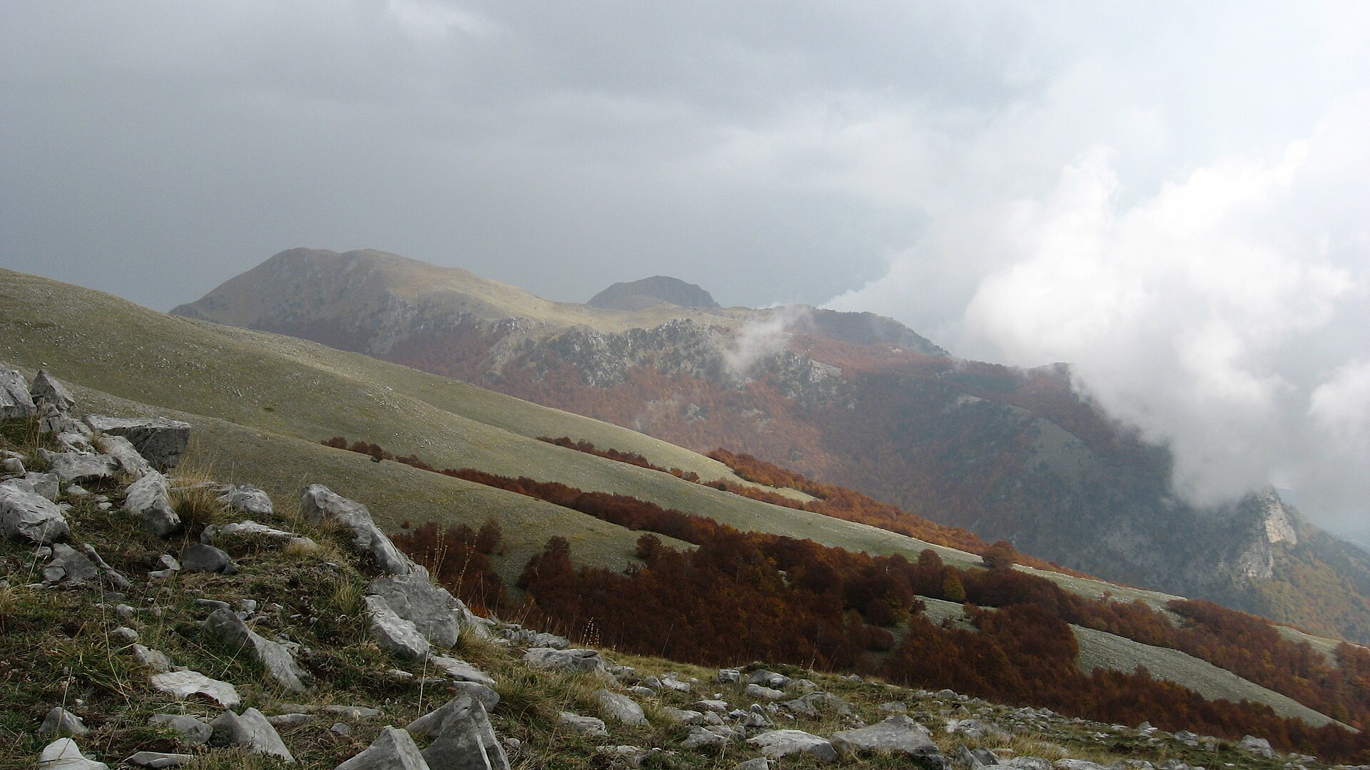
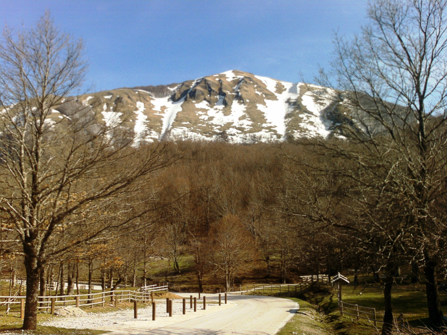
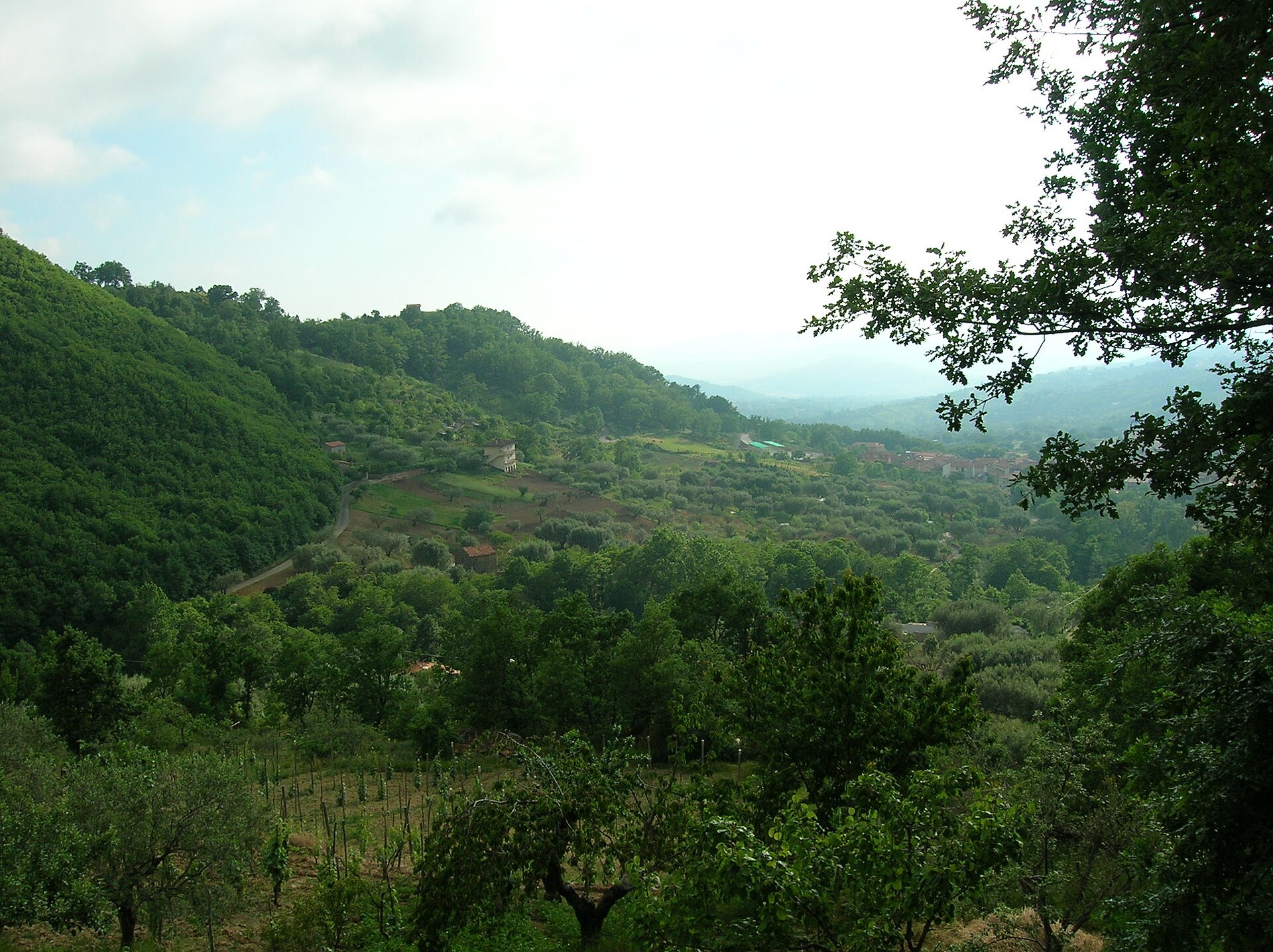
A terrestrial area, with forests and mountains.
What rocks lie beneath Sila National Park?
According to the European 1:1 million geological map (EGDI), the bedrock consists mainly of gneiss (44% of sampled points) and granites (38%). The geological units date mainly from the Carboniferous (88% of sampled points).
What is the highest point of Sila National Park?
Monte Botte Donato, at 1,928 m (OpenStreetMap).
What are the main summits of Sila National Park?
Monte Botte Donato (1,928 m), Montenero (1,881 m), Monte Coppo (1,876 m), Codecola di Coppo (1,870 m) and Monte Sorbello (1,856 m) (OpenStreetMap).
Which international labels apply to Sila National Park?
UNESCO Biosphere Reserve (“Sila”) and Natura 2000 network (26 sites).
When is the best time to visit Sila National Park?
Best time to visit: from May to October, with average temperatures of 11 to 20 °C and moderate rainfall.
What is there to see in Sila National Park?
16 viewpoints, 12 waterfalls, 10 lakes and ponds and 1 bird hide, including Cozzo del Principe, Cascata dei Faggi, Laghetto di Macchialonga (1,545 m) and Finestra di Tacina (OpenStreetMap).
Where can I stay in Sila National Park?
11 mountain huts and 4 campsites, including Rifugio Leone Grandinetti (1,611 m), Camping Arvo and Rifugio Libero (1,545 m) (OpenStreetMap).
Are there historic monuments in Sila National Park?
Yes. According to Wikidata, 11 monuments protected as Italian national cultural heritage stand within the boundary. For example: “Chiesa del Rosario” in Zagarise, “Torre normanna” in Zagarise and “Pink Grotto” in Magisano.
What is the nearest large city to Sila National Park?
Nearest towns of over 50,000 people, as the crow flies: Corigliano-Rossano (9 km) and Cosenza (11 km). Nearest airport: Crotone (CRV), about 30 km away.
How can I reach Sila National Park by train?
The nearest railway station is Cosenza, about 10 km from the site boundary.
Where can I get visitor information on site?
Caserma forestale di Roncino, Caserma Forestale Gariglione and Proloco Camigliatello.
Are there waymarked hiking trails in Sila National Park?
Yes. Waymarked hiking routes listed in OpenStreetMap: 122. The “410 · Sentiero della Transumanza” route runs for about 26 km through the site, with some 90 m of ascent on its longest section.
Which species can be seen in Sila National Park?
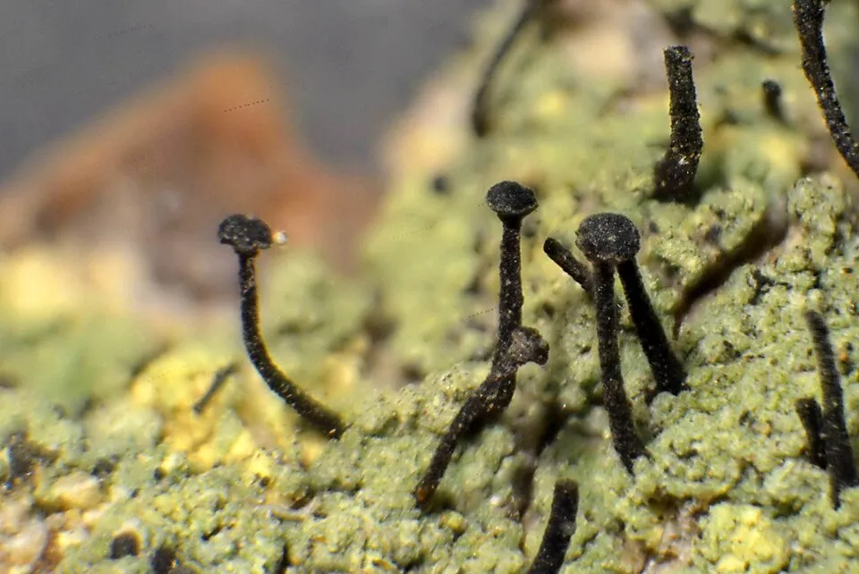
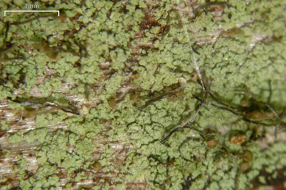
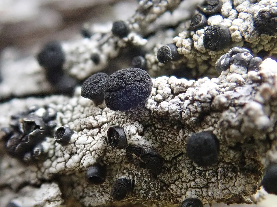
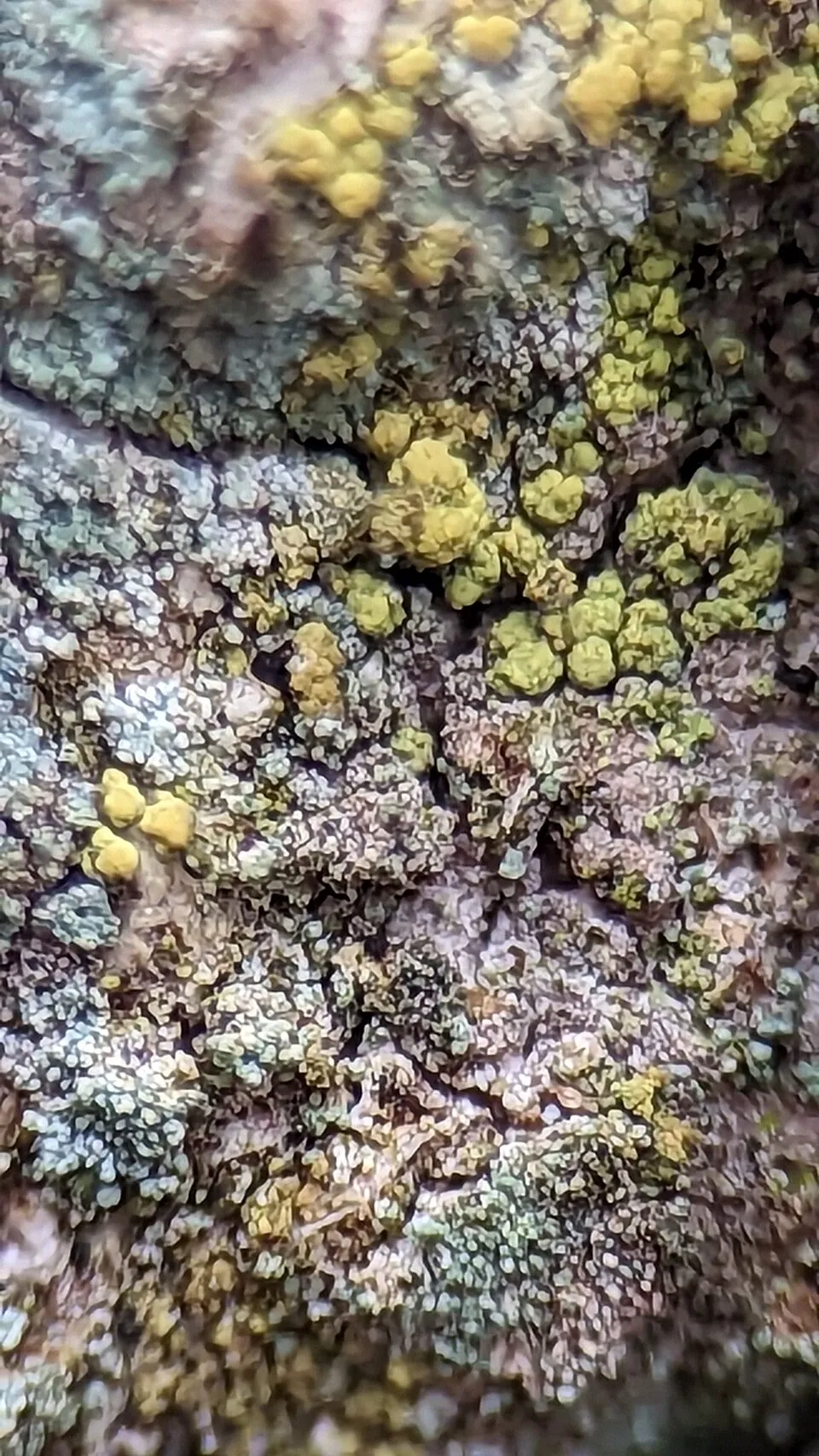
Among the species most often recorded on GBIF are Calicium viride (Spike lichen), Fagus sylvatica (European Beech), Chaenotheca trichialis (Needle lichen) and Acolium inquinans (Cupped Soot Lichen).
What is the official website of Sila National Park?
© OpenStreetMap
Download the boundary: GeoJSON · GPX Boundary © OpenStreetMap contributors (ODbL).
Geography
The representative point of the site lies at around 1,563 m above sea level. Over the 1996–2025 period, the mean annual temperature is about 9.7 °C and total precipitation reaches roughly 1,053 mm per year. The warmest month is usually July, the coolest January, and the wettest October. According to the European 1:1 million geological map (EGDI), the bedrock consists mainly of gneiss (44% of sampled points) and granites (38%). The geological units date mainly from the Carboniferous (88% of sampled points). The site contains 3 lakes larger than 10 ha, totalling 7.8 km² of water; the largest, lago Arvo, covers 4.7 km² (HydroLAKES). lago Arvo (426 ha) is 30 m deep (Wikidata).
Area
- Area
- 73,700 ha
- Elevation
- 1,563 m
- Median elevation
- 1,372 m
- Mean slope
- 13°
- Lakes over 10 ha
- 3 (7.8 km²)
- Coordinates
- 39.3761, 16.5919
Terrain: Mapzen Terrain Tiles (SRTM, USGS) · Lakes: HydroLAKES (Messager et al. 2016, hydrosheds.org, CC BY 4.0) · depths: Wikidata (CC0)
Elevation bands
- 500–1,000 m 8%
- 1,000–1,500 m 65%
- 1,500–2,000 m 27%
share of the site in each elevation band (smoothed terrain model: summits are rounded off) · Terrain: Mapzen Terrain Tiles (SRTM, USGS)
Bedrock
- Gneiss 44 %
- Granites 38 %
- Ultramafic rocks 6 %
- Mica schists 6 %
- Marly limestones 6 %
Metamorphic rocks 50 % · Igneous rocks 44 % · Sedimentary rocks 6 % · Main age: Carboniferous (88%)
Source: EGDI 1:1M geological map (EuroGeoSurveys and national geological surveys), CC BY 4.0 · 16 sampled points within the site.
Main summits
- Monte Botte Donato1,928 m
- Montenero1,881 m
- Monte Coppo1,876 m
- Codecola di Coppo1,870 m
- Monte Sorbello1,856 m
- Serra Stella1,813 m
- Chiave di Coppo1,778 m
- Monte Curcio1,768 m
- Monte Gariglione1,765 m
- Colli Perilli1,749 m
Data © OpenStreetMap contributors (ODbL)
Climate
● Mean temperature (°C) · ▮ Precipitation (mm)
Source: Copernicus ERA5-Land (C3S, doi:10.24381/cds.68d2bb30), monthly averages 1996–2025 interpolated to the representative point, temperatures adjusted for elevation.
Contains modified Copernicus Climate Change Service information 2026. Neither the European Commission nor ECMWF is responsible for any use that may be made of the Copernicus information or data it contains.
Natural habitats
According to CORINE Land Cover (2018), the site is mainly made up of forests (81%) and farmland (8%). Woodland mixes broadleaved and coniferous trees. Elevation ranges from about 860 m to 1,928 m (highest point: Monte Botte Donato). Median elevation is 1,372 m, and 27% of the site lies above 1,500 m (SRTM elevation model). The 26 Natura 2000 sites overlapping the area list 18 habitats of European interest (6 priority), the most extensive being (Sub-) Mediterranean pine forests with endemic black pines, Apennine beech forests with Abies alba and beech forests with Abies nebrodensis and semi-natural dry grasslands and scrubland facies on calcareous substrates (Festuco-Brometalia) (* important orchid sites).
Biodiversity
Based on occurrences aggregated by GBIF, several species are regularly recorded within the site. Among the most frequent are Calicium viride (Spike lichen), Fagus sylvatica (European Beech), Chaenotheca trichialis (Needle lichen) and Acolium inquinans (Cupped Soot Lichen). The full list of documented taxa is shown below. The overlapping Natura 2000 sites list 86 species of European interest: 29 birds, 29 mammals, 7 reptiles, 8 amphibians, 7 invertebrates and 6 plants.
Habitats of European interest
From the official forms of the 26 Natura 2000 sites overlapping the area (areas reported for each whole site).
- (Sub-) Mediterranean pine forests with endemic black pines priority 3,840 ha
- Apennine beech forests with Abies alba and beech forests with Abies nebrodensis priority 3,481 ha
- Semi-natural dry grasslands and scrubland facies on calcareous substrates (Festuco-Brometalia) (* important orchid sites) 327 ha
- Pannonian-Balkanic turkey oak-sessile oak forests 198 ha
- Alluvial forests with Alnus glutinosa and Fraxinus excelsior (Alno-Padion, Alnion incanae, Salicion albae) priority 170 ha
- Species-rich Nardus grasslands, on silicious substrates in mountain areas (and submountain areas in Continental Europe) priority 162 ha
- Hydrophilous tall herb fringe communities of plains and of the montane to alpine levels 108 ha
- Lowland hay meadows (Alopecurus pratensis, Sanguisorba officinalis) 94 ha
and 10 more
Species of European interest
Birds · 29
Eurasian Skylark (Alauda arvensis) breeding, Rock Partridge (Alectoris graeca) resident, Tawny Pipit (Anthus campestris) passage breeding, Golden Eagle (Aquila chrysaetos) resident, European Nightjar (Caprimulgus europaeus) passage breeding, White stork (Ciconia ciconia) passage, White-throated Dipper (Cinclus cinclus) resident, Western Marsh Harrier (Circus aeruginosus) passage, Montagu's Harrier (Circus pygargus) passage, Common Quail (Coturnix coturnix) breeding, Black Woodpecker (Dryocopus martius) resident, Rock Bunting (Emberiza cia) breeding and 17 more
Mammals · 29
Barbastelle (Barbastella barbastellus), Grey wolf (Canis lupus), Forest dormouse (Dryomys nitedula), Serotine bat (Eptesicus serotinus), European wildcat (Felis silvestris), Savi's Pipistrelle (Hypsugo savii), Crested porcupine (Hystrix cristata), Eurasian otter (Lutra lutra), European pine marten (Martes martes), Common bent-wing bat (Miniopterus schreibersii), Hazel dormouse (Muscardinus avellanarius), Western Polecat (Mustela putorius) and 17 more
Reptiles · 7
Smooth snake (Coronella austriaca), Four-lined snake (Elaphe quatuorlineata), Western Whip Snake (Hierophis viridiflavus), Western green lizard (Lacerta bilineata), Common wall lizard (Podarcis muralis), Italian wall lizard (Podarcis siculus), Italian Aesculapian Snake (Zamenis lineatus)
Amphibians · 8
Apennine Yellow-bellied Toad (Bombina pachypus), Italian Tree Frog (Hyla intermedia), Italian newt (Lissotriton italicus), Edible frog (Pelophylax esculentus), Agile frog (Rana dalmatina), Italian stream frog (Rana italica), Spectacled Salamander (Salamandrina terdigitata), Italian crested newt (Triturus carnifex)
Invertebrates · 7
Italian goldenring (Cordulegaster trinacriae), Cucujus cinnaberinus, Large Blue (Maculinea arion), Osmoderma italicum, Clouded apollo (Parnassius mnemosyne), Rosalia longicorn (Rosalia alpina), Southern Festoon (Zerynthia polyxena)
Plants · 6
Buxbaumia moss (Buxbaumia viridis), Sphagnum auriculatum schimp., Twisted peat moss (Sphagnum contortum schultz), Lesser Cow-horn Bog-moss (Sphagnum inundatum russow), Sphagnum Mosses (Sphagnum spp.), Orange peat moss (Sphagnum subsecundum nees)
Source: Natura 2000 standard data forms (EEA, CC-BY 4.0). Not exhaustive: sensitive species are not published.
Species to look out for

Observed species
Occurrences documented via GBIF; they are neither an exhaustive inventory nor proof of current presence.
- Spike lichen · Calicium viride · 79
- European Beech · Fagus sylvatica · 68
- Needle lichen · Chaenotheca trichialis · 67
- Cupped Soot Lichen · Acolium inquinans · 61
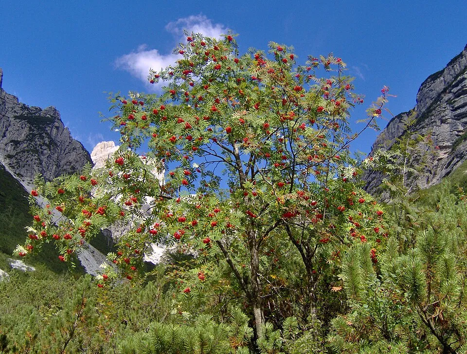
- Rowan · Sorbus aucuparia · 59
- Needle lichen · Chaenotheca chrysocephala · 55
- Spike lichen · Calicium glaucellum · 38
- Armeria brutia · 36
- Eurasian Chaffinch · Fringilla coelebs · 33
- Spike lichen · Calicium salicinum · 33
- Needle lichen · Chaenotheca furfuracea · 33
- Pennyroyal · Mentha pulegium · 29
Records: GBIF.org (CC-BY). Names: Wikidata (CC0), GBIF. Photos: Wikimedia Commons.
Conservation challenges
The primary purpose of the site is to preserve its natural habitats and the biodiversity they support. The species recorded (Biodiversity tab) reflect its ecological value. The designations it holds frame its management and the control of land use.
According to Global Forest Change data (University of Maryland, Global Forest Watch), about 2,790 ha of tree cover were lost within the boundary between 2001 and 2023 (4% of its area), peaking in 2008 and 2018. These losses include logging, storms and fires, and do not account for regrowth. According to the European CORINE Land Cover inventory (Copernicus), land cover changed on about 1,170 ha of the site between 1990 and 2018 (2% of its area): forest shrank by 535 ha, mostly giving way to open natural land, while open natural land grew by 528 ha, mostly at the expense of forest. Forest felling and regrowth add about 2,430 ha in total over the period. Since 2016, the European EFFIS system (Copernicus) has mapped 19 fires here, burning about 2,476 ha within the boundary; the largest, in August 2017 (near Longobucco), covered 1,578 ha. At night, 3% of the area gives off artificial light detectable from space (NASA VIIRS Black Marble composite, 2016). According to the Natura 2000 forms, of 18 assessed habitats of European interest, 5 are in excellent condition and the rest in good condition. According to the Water Framework Directive assessment (2022 river basin management plans, data 2016–2019), none of the 48 km of rivers assessed within the site reaches good ecological potential; they mostly have moderate ecological potential. Other assessed water bodies: lakes, 1 of 3 in good ecological status or better. Invasive alien species have been recorded within the site since 2000 (GBIF observations). Among them: Prunus laurocerasus (Cherry laurel), Rosa rugosa (Japanese rose) and Syringa vulgaris (Common Lilac).
Pressure indicators
Tree cover lost
2,788 ha
2001–2023 · 4% of the area
20012023
Fires since 2016
2,476 ha
burned within the boundary (19 mapped fires)
- 2017 · Longobucco · 1,578 ha
- 2021 · Longobucco · 210 ha
- 2021 · Longobucco · 129 ha
Light at night
3%
of the area gives off artificial light visible from space
DarkLit
Built-up land
< 1%
buildings, business areas, roads, quarries · farmland 8%
Land cover change
1,170 ha
changed cover, 1990–2018 · CORINE · 2% of the area
- −535 ha · forest
- +528 ha · open natural land
forest felling and regrowth: 2,430 ha in total
Rivers and lakes
0%
of the 48 km of assessed rivers at good or high ecological potential (mostly heavily modified water bodies) · WFD 2022
Lakes: 1 of 3 good or better
assessments 2016–2019
Invasive alien species
3
recorded since 2000
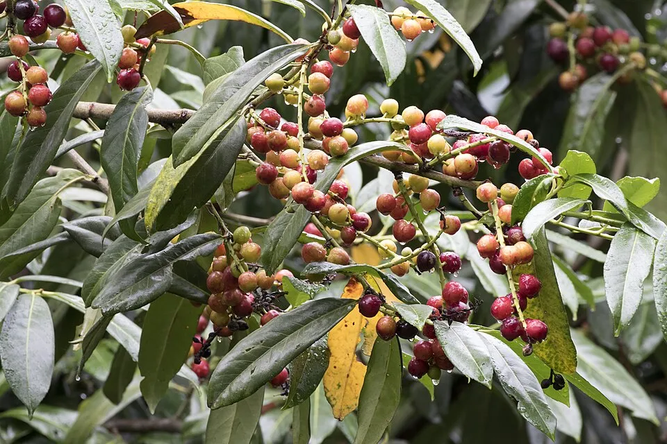 Cherry laurel
 Japanese rose
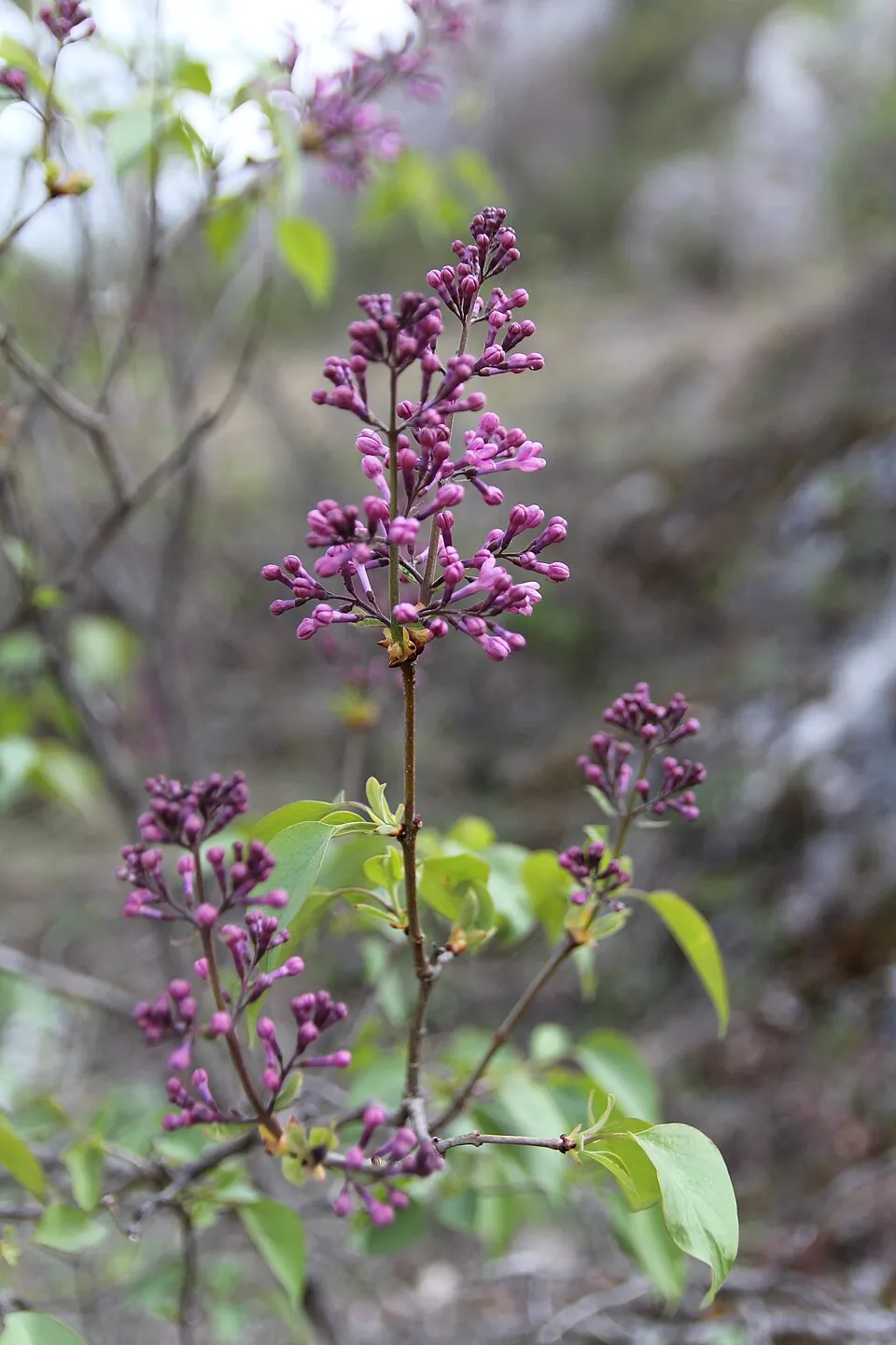 Common Lilac
Photos: Cherry laurel © Zeynel Cebeci · CC BY-SA 4.0; Japanese rose © Vihljun · Public domain; Common Lilac © Aporia.j · CC BY-SA 4.0
Sources: Global Forest Change (Hansen et al., University of Maryland, via Global Forest Watch, CC-BY 4.0); EFFIS, European Commission / Copernicus; NASA Black Marble 2016 (public domain); CORINE Land Cover 2018 (Copernicus) or MODIS.
CORINE Land Cover Change 1990–2018: generated using European Union's Copernicus Land Monitoring Service information (EEA), aggregated by Parkavela; DOI 10.2909/f30f1000-7cf8-43bb-872c-5eb093911b24.
Ecological status of water bodies: European Environment Agency, WISE – Water Framework Directive, 3rd river basin management plans (2022), CC BY 4.0. Official national classification, not comparable between countries.
Invasive alien species: Global Register of Introduced and Invasive Species (ISSG, CC BY 4.0); Union list, Regulation (EU) 1143/2014 (INBO, CC0); GBIF.org records (CC0 / CC BY 4.0), at least 2 per species.
Practical information
Cities and airport
- Corigliano-Rossano
9 km as the crow flies - Cosenza
11 km as the crow flies - Airport: Crotone (CRV)
30 km as the crow flies
Visitor information
- Caserma forestale di Roncino
within the site - Caserma Forestale Gariglione
within the site - Proloco Camigliatello
within the site
Parking
38 public car parks listed within the site
Parcheggio PagliaraParcheggio Cupone
Things to see
16 viewpoints · 12 waterfalls · 10 lakes and ponds · 1 bird hide
- Cozzo del Principe
viewpoint - Cascata dei Faggi
waterfall - Laghetto di Macchialonga
lake or pond · 1,545 m - Finestra di Tacina
viewpoint - Cascata dei Lamponi
waterfall
Where to stay
11 mountain huts · 4 campsites
- Rifugio Leone Grandinetti
Staffed hut · 1,611 m - Camping Arvo
campsite - Rifugio Libero
Unstaffed hut · 1,545 m - Camping Lorica
campsite - Piazzale di Fallistro
Staffed hut · 1,430 m
Hiking
122 waymarked routes listed
Trail difficulty
- T2 · mountain hiking · 100% · 201 km
205 km graded out of 787 km of paths
SAC scale (T1–T6) © OpenStreetMap contributors (ODbL): indicative only, check with the park.
By bike
EV7 · 63 km Appennino Bike Tour [ABT] · 18 kmCPC Ciclovia dei Parchi della Calabria · 69 km
Signed cycle routes: this does not mean that cycling is allowed on footpaths.
Data © OpenStreetMap contributors (ODbL) · Wikidata (CC0)
Contains information from EuroVelo GPX tracks downloaded from www.EuroVelo.com on 2026-10-22, which is made available here under the Open Database License (ODbL). EuroVelo® is a registered trademark of the ECF. Routes © OpenStreetMap contributors (ODbL), via Waymarked Trails
Waymarked hiking routes
410 Sentiero della Transumanza
25.7 km within the site ↗ 88 m↘ 592 m 1,316–1,872 m
up to T2 · mountain hiking
404 Unnamed route
5.3 km within the site ↗ 384 m↘ 36 m 1,391–1,756 m
up to T2 · mountain hiking
Tracks © OpenStreetMap contributors (ODbL), clipped to the boundary; elevation gain and profiles computed on the longest section from Mapzen Terrain Tiles (≈ 30 m), indicative only. Indicative difficulty (SAC scale, OpenStreetMap, via Waymarked Trails): check with the park.
Access and visiting
The nearest railway station is Cosenza, about 10 km from the site boundary. Nearest towns of over 50,000 people, as the crow flies: Corigliano-Rossano (9 km) and Cosenza (11 km). Nearest airport: Crotone (CRV), about 30 km away. About 570,000 people live within 20 km of the site boundary, 180,000 of them within 10 km; some 5,000 people are estimated to live inside (GHSL estimate, 2020). This population has fallen by about 8% since 2000. Visitor information on site: Caserma forestale di Roncino, Caserma Forestale Gariglione and Proloco Camigliatello. Public car parks listed within the site: 38, including Parcheggio Pagliara and Parcheggio Cupone. Waymarked hiking routes listed in OpenStreetMap: 122. Of the roughly 210 km of paths with a difficulty grade in OpenStreetMap, 100% are mountain hiking (T2). This is indicative only: check with the park. The EuroVelo 7 cycle route (Sun Route) crosses the site for about 63 km, mostly developed and signed; 2 other signed cycle routes also pass through: “Appennino Bike Tour [ABT]” and “CPC Ciclovia dei Parchi della Calabria” (EuroVelo, OpenStreetMap). To see: 16 viewpoints, 12 waterfalls, 10 lakes and ponds and 1 bird hide, including Cozzo del Principe, Cascata dei Faggi, Laghetto di Macchialonga (1,545 m) and Finestra di Tacina. Where to stay: 11 mountain huts and 4 campsites, including Rifugio Leone Grandinetti (1,611 m), Camping Arvo and Rifugio Libero (1,545 m). To plan a visit (access, opening periods, visitor rules), it is best to consult the official information from the managing body and the official website listed in this page's sources.
Source: OpenStreetMap (ODbL), Wikidata (CC0), October 2026.
Built heritage
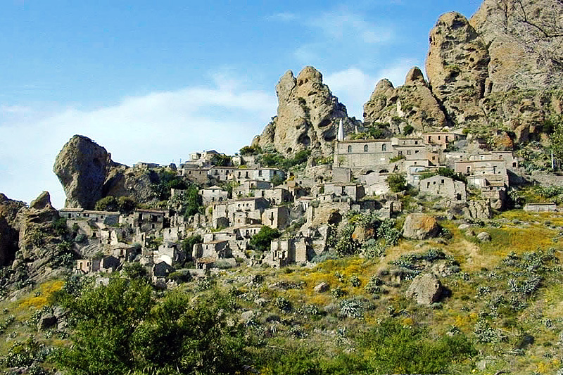
According to Wikidata, 11 monuments protected as Italian national cultural heritage stand within the boundary. Among them are 4 religious buildings, 4 houses and civic buildings and 2 prehistoric and archaeological sites. Examples include “Chiesa del Rosario” in Zagarise, “Torre normanna” in Zagarise and “Pink Grotto” in Magisano.
4 religious buildings4 houses and civic buildings2 prehistoric and archaeological sites1 castle or fortification
-
Chiesa del Rosario
Zagarise -
Torre normanna
Zagarise -
Pink Grotto
Magisano -
Giardino geologico di Cupone
Spezzano della Sila -
San Domenico Church
Longobucco -
Mostra artigianato e antichi mestieri
Longobucco -
Museo del ciclo e del motociclo Giovanni Parrilla
Longobucco -
Chiesa di Santa Maria Assunta
Zagarise
and 3 more
Source: Wikidata (CC0), monuments in each country’s official heritage protection registers, at national or regional level. Each item links to its Wikidata entry.
When to visit
Best time to visit: from May to October, with average temperatures of 11 to 20 °C and moderate rainfall. These averages apply to the site's representative point (1,563 m); higher up it is markedly cooler and snow lasts longer. Day length ranges from about 9 h 24 min in December to 14 h 56 min in June. Wildlife records published on GBIF peak for birds (December and January), plants (June) and butterflies and moths (July and August). These peaks also reflect when observers are most active.
Source: Copernicus ERA5-Land (C3S), monthly averages 1996–2025 at the representative point, temperatures adjusted for elevation.
Contains modified Copernicus Climate Change Service information 2026. Neither the European Commission nor ECMWF is responsible for any use that may be made of the Copernicus information or data it contains.
Wildlife records calendar
JFMAMJJASOND
Birds
Plants
Butterflies & moths
Monthly records published on GBIF (CC-BY), relative to the busiest month; also reflects observer activity.
Gallery
© Ugo Leonetti · CC BY-SA 4.0
© Beppeveltri · CC BY-SA 3.0
© AlexCanyon · Public domain
© Mboesch · CC BY-SA 4.0
© Mboesch · CC BY-SA 4.0
© Ugo Leonetti · CC BY-SA 4.0
Sources and licences
- Wikidata: Q1091298
- Official website: http://www.parcosila.it/
- Wikipedia: en.wikipedia.org/wiki/Sila_National_Park
- WDPA: 182736
References
- cds.climate.copernicus.eu: climate · CC-BY-4.0
- registry.opendata.aws: elevation of the reference point, detailed relief · PD
- land.copernicus.eu: land cover, land cover change, sea share · COPERNICUS
- doi.org: population around the site · CC-BY-4.0
- wikidata.org: official area, establishment date, protected heritage, official name, nearby cities and airport, access and peaks, lake depths, places to see, official website · CC0-1.0
- eea.europa.eu: bathing water quality, ecological status of waters · CC-BY-4.0
- en.eurovelo.com: EuroVelo cycle routes · ODbL-1.0
- cycling.waymarkedtrails.org: cycle routes · ODbL-1.0
- opentopodata.org: elevations · PD
- forest-fire.emergency.copernicus.eu: wildfires · COPERNICUS
- globalforestwatch.org: tree cover loss · CC-BY-4.0
- gbif.org: seasonality of sightings, invasive alien species, observed species · CC-BY-4.0
- europe-geology.eu: geology · CC-BY-4.0
- hydrosheds.org: lakes · CC-BY-4.0
- natura2000.eea.europa.eu: Natura 2000 habitats and species · CC-BY-4.0
- earthobservatory.nasa.gov: night light · PD
- openstreetmap.org: access and peaks, places to see, trail difficulty · ODbL-1.0
- hiking.waymarkedtrails.org: route difficulty · ODbL-1.0
- nsidc.org: snow cover · PD
- wikidata.org: Wikipedia article · CC-BY-SA-4.0
Data © OpenStreetMap contributors (ODbL), Wikidata (CC0) and the sources cited.