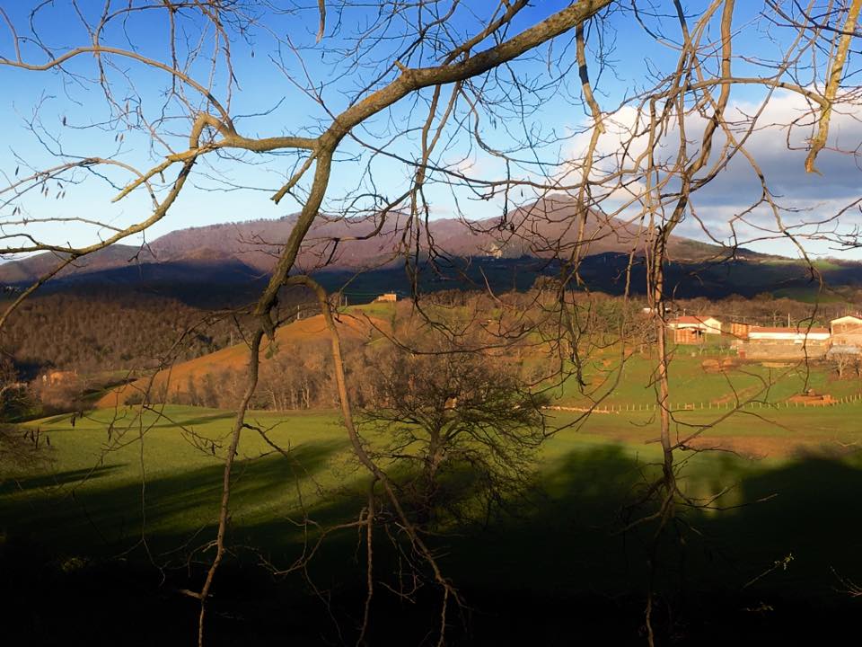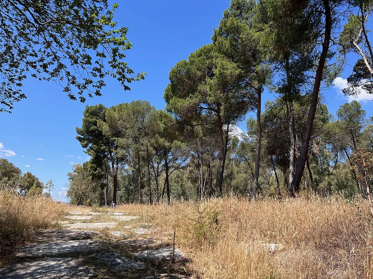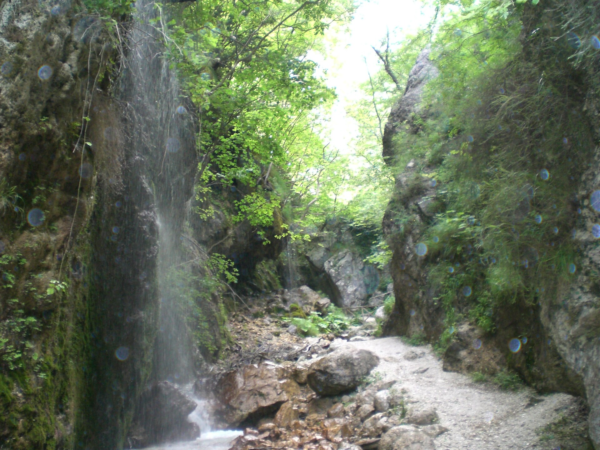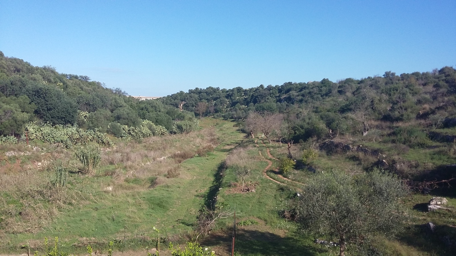
Italy · Terrestrial
Ofanto River Regional Nature Park
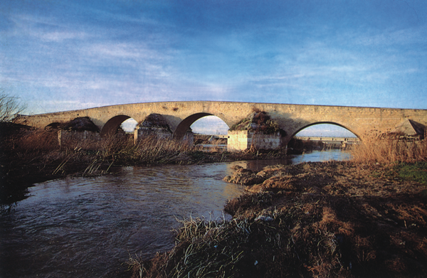
Regional nature park of 24,883 hectares in Italy, established in 2007.
Overview
Regional nature park of 24,883 hectares in Italy, established in 2007.
Ofanto River Regional Nature Park is located in Italy (Europe). It is a predominantly terrestrial area. Established on 14 December 2007, it covers about 24,883 hectares.
Protections and designations
Natura 2000 · habitats (SAC)
- Valle Ofanto - Lago di Capaciotti IT9120011
Protected as a regional nature park. International labels and designations: Natura 2000 network (1 site: “Valle Ofanto - Lago di Capaciotti”).
In our collections
Frequently asked questions
Where is Ofanto River Regional Nature Park?
In Italy (Europe). Representative point: 41.1942° N, 15.9824° E.
How large is Ofanto River Regional Nature Park?
About 24,883 hectares (249 km²). It is the 20th largest of the 128 regional parks in Italy covered by Parkavela.
When was Ofanto River Regional Nature Park established?
On 14 December 2007.
What habitats and landscapes does Ofanto River Regional Nature Park include?
A terrestrial area, where land cover is dominated by farmland (88%).
What rocks lie beneath Ofanto River Regional Nature Park?
According to the European 1:1 million geological map (EGDI), recent unconsolidated deposits – unconsolidated deposits (50% of sampled points) – cover most of the site; among the consolidated rocks: mudstones (25%) and carbonate rocks (13%). These are mostly sedimentary rocks. The geological units date mainly from the Neogene (50% of sampled points).
Which international labels apply to Ofanto River Regional Nature Park?
Natura 2000 network (1 site: “Valle Ofanto - Lago di Capaciotti”).
When is the best time to visit Ofanto River Regional Nature Park?
Best time to visit: May and June, with average temperatures of 19 to 25 °C and moderate rainfall.
What is there to see in Ofanto River Regional Nature Park?
5 viewpoints, 3 lakes and ponds and 4 bird hides, including Montemaggiore, Invaso Capacciotti, Altana Canestrello - Parco Naturale Regionale Fiume Ofanto and Panorama (OpenStreetMap).
Are there historic monuments in Ofanto River Regional Nature Park?
Yes. According to Wikidata, one monument protected as Italian national cultural heritage stands within the boundary. For example: “Antiquarium di Cannae” in Barletta.
Can you swim in Ofanto River Regional Nature Park?
6 monitored bathing sites lie in or within 1 km of the site; official 2025 classification: 6 excellent (European Environment Agency). Swimming is only permitted at the sites and times authorised locally.
What is the nearest large city to Ofanto River Regional Nature Park?
Nearest towns of over 50,000 people, as the crow flies: Barletta (4 km) and Cerignola (9 km). Nearest airport: Bari Karol Wojtyła (BRI), about 48 km away.
How can I reach Ofanto River Regional Nature Park by train?
Rocchetta Sant'Antonio-Lacedonia railway station lies within the site.
Are there waymarked hiking trails in Ofanto River Regional Nature Park?
Yes. Waymarked hiking routes listed in OpenStreetMap: 4, including Via Francigena. The “VF · Via Francigena - 09 Pouilles” route runs for about 8 km through the site.
Which species can be seen in Ofanto River Regional Nature Park?
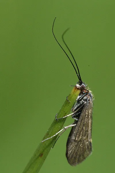
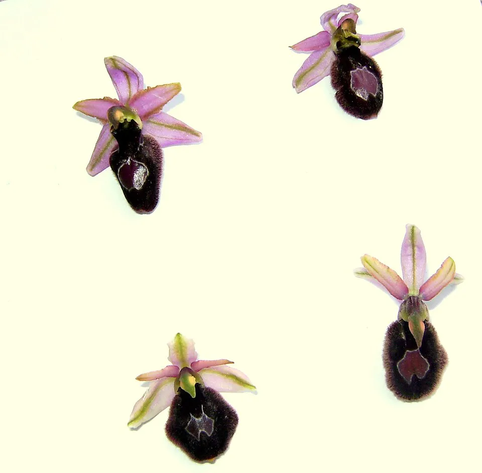
Among the species most often recorded on GBIF are Hydropsyche pellucidula, Pistacia lentiscus (Mastic Tree), Avena barbata (Slender Oat) and Ophrys bertolonii (Bertoloni's bee orchid).
© OpenStreetMap
Download the boundary: GeoJSON · GPX Boundary © OpenStreetMap contributors (ODbL).
Geography
The representative point of the site lies at around 67 m above sea level. Over the 1996–2025 period, the mean annual temperature is about 16.6 °C and total precipitation reaches roughly 561 mm per year. The warmest month is usually July, the coolest January, and the wettest November. According to the European 1:1 million geological map (EGDI), recent unconsolidated deposits – unconsolidated deposits (50% of sampled points) – cover most of the site; among the consolidated rocks: mudstones (25%) and carbonate rocks (13%). These are mostly sedimentary rocks. The geological units date mainly from the Neogene (50% of sampled points). The site contains 2 lakes larger than 10 ha, totalling 3.8 km² of water (HydroLAKES). lago Locone is 47.4 m deep (Wikidata).
Area
- Area
- 24,883 ha
- Elevation
- 67 m
- Lakes over 10 ha
- 2 (3.8 km²)
- Coordinates
- 41.1942, 15.9824
Lakes: HydroLAKES (Messager et al. 2016, hydrosheds.org, CC BY 4.0) · depths: Wikidata (CC0)
Bedrock
- Unconsolidated deposits 50 %
- Mudstones 25 %
- Carbonate rocks 13 %
- Limestones 13 %
Sedimentary rocks 100 % · Main age: Neogene (50%)
Source: EGDI 1:1M geological map (EuroGeoSurveys and national geological surveys), CC BY 4.0 · 8 sampled points within the site.
Climate
● Mean temperature (°C) · ▮ Precipitation (mm)
Source: Copernicus ERA5-Land (C3S, doi:10.24381/cds.68d2bb30), monthly averages 1996–2025 interpolated to the representative point, temperatures adjusted for elevation.
Contains modified Copernicus Climate Change Service information 2026. Neither the European Commission nor ECMWF is responsible for any use that may be made of the Copernicus information or data it contains.
Natural habitats
According to CORINE Land Cover (2018), the site is mainly made up of farmland (88%) and forests (6%). Elevation ranges from about 10 to 350 m (sampled elevations, SRTM). The Natura 2000 site overlapping the area lists 2 habitats of European interest (1 priority), the most extensive being Salix alba and Populus alba galleries and pseudo-steppe with grasses and annuals of the Thero-Brachypodietea.
Biodiversity
Based on occurrences aggregated by GBIF, several species are regularly recorded within the site. Among the most frequent are Hydropsyche pellucidula, Pistacia lentiscus (Mastic Tree), Avena barbata (Slender Oat) and Ophrys bertolonii (Bertoloni's bee orchid). The full list of documented taxa is shown below. The overlapping Natura 2000 site lists 7 species of European interest: 2 mammals, 2 reptiles, 1 amphibian and 2 fish.
Habitats of European interest
From the official form of the Natura 2000 site overlapping the area (areas reported for the whole site).
- Salix alba and Populus alba galleries 4,543 ha
- Pseudo-steppe with grasses and annuals of the Thero-Brachypodietea priority 379 ha
Species of European interest
Reptiles · 2
Four-lined snake (Elaphe quatuorlineata), European Pond Turtle (Emys orbicularis)
Amphibians · 1
Fish · 2
Italian bleak (Alburnus albidus), South European Roach (Rutilus rubilio)
Source: Natura 2000 standard data forms (EEA, CC-BY 4.0). Not exhaustive: sensitive species are not published.
Species to look out for
Plant
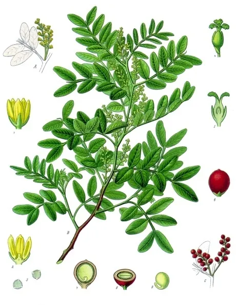
Mastic Tree
Pistacia lentiscus5 records © Franz Eugen Köhler, Köhler's Medizinal-Pflanzen · Public domain

Observed species
Occurrences documented via GBIF; they are neither an exhaustive inventory nor proof of current presence.
- Hydropsyche pellucidula · 7
- Mastic Tree · Pistacia lentiscus · 5
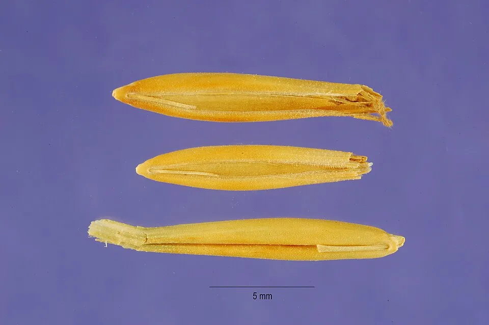
- Slender Oat · Avena barbata · 3
- Bertoloni's bee orchid · Ophrys bertolonii · 3
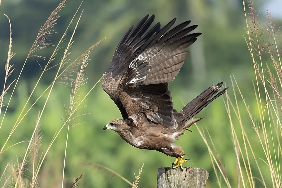
- Black Kite · Milvus migrans · 3
- Spiny Starwort · Pallenis spinosa · 3
- Olive · Olea europaea · 3
- Clustered Sulla · Sulla glomerata · 3
- Late Spider-orchid · Ophrys holosericea · 3
- Little Egret · Egretta garzetta · 2
- Rivet wheat · Triticum turgidum · 2
- Henbit Dead-nettle · Lamium amplexicaule · 2
Records: GBIF.org (CC-BY). Names: Wikidata (CC0), GBIF. Photos: Wikimedia Commons.
Conservation challenges
The primary purpose of the site is to preserve its natural habitats and the biodiversity they support. The species recorded (Biodiversity tab) reflect its ecological value. The designations it holds frame its management and the control of land use.
According to Global Forest Change data (University of Maryland, Global Forest Watch), about 81 ha of tree cover were lost within the boundary between 2001 and 2023 (under 1% of its area), peaking in 2001 and 2004. These losses include logging, storms and fires, and do not account for regrowth. According to CORINE Land Cover, land cover here remained almost unchanged between 1990 and 2018 (less than 0.5% of the area affected). Since 2016, the European EFFIS system (Copernicus) has mapped 26 fires here, burning about 1,477 ha within the boundary; the largest, in July 2025 (near Montemilone), covered 203 ha. At night, 10% of the area gives off artificial light detectable from space (NASA VIIRS Black Marble composite, 2016). According to the Water Framework Directive assessment (2022 river basin management plans, data 2016–2020), only 4% of the 109 km of rivers assessed within the site are in good or high ecological status; the others mostly have moderate ecological status. Other assessed water bodies: lakes, 0 of 2 in good ecological status or better.
Pressure indicators
Tree cover lost
81 ha
2001–2023 · < 1% of the area
20012023
Fires since 2016
1,477 ha
burned within the boundary (26 mapped fires)
- 2025 · Montemilone · 203 ha
- 2026 · Minervino Murge · 145 ha
- 2024 · Melfi · 143 ha
Light at night
10%
of the area gives off artificial light visible from space
DarkLit
Built-up land
< 1%
buildings, business areas, roads, quarries · farmland 88%
Land cover change
< 0.5%
of the area changed, 1990–2018 · CORINE
Rivers and lakes
4%
of the 109 km of assessed rivers in good or high ecological status · WFD 2022
Lakes: 0 of 2 good or better
assessments 2016–2020
Sources: Global Forest Change (Hansen et al., University of Maryland, via Global Forest Watch, CC-BY 4.0); EFFIS, European Commission / Copernicus; NASA Black Marble 2016 (public domain); CORINE Land Cover 2018 (Copernicus) or MODIS.
CORINE Land Cover Change 1990–2018: generated using European Union's Copernicus Land Monitoring Service information (EEA), aggregated by Parkavela; DOI 10.2909/f30f1000-7cf8-43bb-872c-5eb093911b24.
Ecological status of water bodies: European Environment Agency, WISE – Water Framework Directive, 3rd river basin management plans (2022), CC BY 4.0. Official national classification, not comparable between countries.
Practical information
Cities and airport
- Barletta
4 km as the crow flies - Cerignola
9 km as the crow flies - Airport: Bari Karol Wojtyła (BRI)
48 km as the crow flies
Things to see
5 viewpoints · 3 lakes and ponds · 4 bird hides
- Montemaggiore
viewpoint - Invaso Capacciotti
lake or pond - Altana Canestrello - Parco Naturale Regionale Fiume Ofanto
bird hide - Panorama
viewpoint - Invaso del Locone
lake or pond
Hiking
4 waymarked routes listed, including:
Via Francigena
By bike
EV5 · 9 km Ciclovia dell'Ofanto · 11 kmpuglia-gt-008-Trani-Margherita-di-Savoia-Manfredonia-mattinata · 9 km
Signed cycle routes: this does not mean that cycling is allowed on footpaths.
Data © OpenStreetMap contributors (ODbL) · Wikidata (CC0)
Contains information from EuroVelo GPX tracks downloaded from www.EuroVelo.com on 2026-10-22, which is made available here under the Open Database License (ODbL). EuroVelo® is a registered trademark of the ECF. Routes © OpenStreetMap contributors (ODbL), via Waymarked Trails
Waymarked hiking routes
Tracks © OpenStreetMap contributors (ODbL), clipped to the boundary; elevation gain and profiles computed on the longest section from Mapzen Terrain Tiles (≈ 30 m), indicative only.
Bathing
6 monitored bathing sites in or within 1 km of the site · 2025 classification
Excellent · 6
- 500 Mt Sud Fogna Cit.na Barletta · sea · Excellent
- Foce Fiume Ofanto 100 Mt Sn · sea · Excellent
- Lido Tritone · sea · Excellent
- Molo · sea · Excellent
- Pantanella (200 Mt Nord Scarico Fogne) · sea · Excellent
- Staccionata · sea · Excellent
Source: European Environment Agency, official bathing water classification (Directive 2006/7/EC, CC-BY 4.0). Swimming is only permitted at the sites and times authorised locally.
Access and visiting
Rocchetta Sant'Antonio-Lacedonia railway station lies within the site. Nearest towns of over 50,000 people, as the crow flies: Barletta (4 km) and Cerignola (9 km). Nearest airport: Bari Karol Wojtyła (BRI), about 48 km away. About 520,000 people live within 20 km of the site boundary, 320,000 of them within 10 km; some 500 people are estimated to live inside (GHSL estimate, 2020). Waymarked hiking routes listed in OpenStreetMap: 4, including Via Francigena. The EuroVelo 5 cycle route (Via Romea Francigena) crosses the site for about 9 km; 2 other signed cycle routes also pass through: “Ciclovia dell'Ofanto” and “puglia-gt-008-Trani-Margherita-di-Savoia-Manfredonia-mattinata” (EuroVelo, OpenStreetMap). To see: 5 viewpoints, 3 lakes and ponds and 4 bird hides, including Montemaggiore, Invaso Capacciotti, Altana Canestrello - Parco Naturale Regionale Fiume Ofanto and Panorama. To plan a visit (access, opening periods, visitor rules), it is best to consult the official information from the managing body and the official website listed in this page's sources.
Source: OpenStreetMap (ODbL), Wikidata (CC0), October 2026.
Built heritage
According to Wikidata, one monument protected as Italian national cultural heritage stands within the boundary. It is “Antiquarium di Cannae” in Barletta.
-
Antiquarium di Cannae
Barletta · 20th c.
Source: Wikidata (CC0), monuments in each country’s official heritage protection registers, at national or regional level. Each item links to its Wikidata entry.
When to visit
Best time to visit: May and June, with average temperatures of 19 to 25 °C and moderate rainfall. Day length ranges from about 9 h 13 min in December to 15 h 08 min in June. Wildlife records published on GBIF peak for birds (January) and plants (April). These peaks also reflect when observers are most active.
Source: Copernicus ERA5-Land (C3S), monthly averages 1996–2025 at the representative point, temperatures adjusted for elevation.
Contains modified Copernicus Climate Change Service information 2026. Neither the European Commission nor ECMWF is responsible for any use that may be made of the Copernicus information or data it contains.
Wildlife records calendar
JFMAMJJASOND
Birds
Plants
Monthly records published on GBIF (CC-BY), relative to the busiest month; also reflects observer activity.
Gallery
© Utent:Campidiomedei of it.wikipedia · CC BY-SA 3.0
© Lapalmauz · CC BY-SA 4.0
Sources and licences
- Wikidata: Q3895660
- OpenStreetMap: relation 16238702
- Wikipedia: fr.wikipedia.org/wiki/Parc_naturel_régional_du_fleuve_Ofanto
- WDPA: 390470
References
- cds.climate.copernicus.eu: climate · CC-BY-4.0
- registry.opendata.aws: elevation of the reference point, detailed relief · PD
- land.copernicus.eu: land cover, land cover change, sea share · COPERNICUS
- doi.org: population around the site · CC-BY-4.0
- wikidata.org: official area, establishment date, protected heritage, official name, nearby cities and airport, access and peaks, lake depths, places to see · CC0-1.0
- eea.europa.eu: bathing water quality, ecological status of waters · CC-BY-4.0
- en.eurovelo.com: EuroVelo cycle routes · ODbL-1.0
- cycling.waymarkedtrails.org: cycle routes · ODbL-1.0
- opentopodata.org: elevations · PD
- forest-fire.emergency.copernicus.eu: wildfires · COPERNICUS
- globalforestwatch.org: tree cover loss · CC-BY-4.0
- gbif.org: seasonality of sightings, invasive alien species, observed species · CC-BY-4.0
- europe-geology.eu: geology · CC-BY-4.0
- hydrosheds.org: lakes · CC-BY-4.0
- natura2000.eea.europa.eu: Natura 2000 habitats and species · CC-BY-4.0
- earthobservatory.nasa.gov: night light · PD
- openstreetmap.org: access and peaks, places to see · ODbL-1.0
- hiking.waymarkedtrails.org: route difficulty · ODbL-1.0
- nsidc.org: snow cover · PD
- wikidata.org: Wikipedia article · CC-BY-SA-4.0
Data © OpenStreetMap contributors (ODbL), Wikidata (CC0) and the sources cited.