
Italy · Terrestrial
Campo dei Fiori Regional Park
Regional nature park of 6,300 hectares in Italy, established in 1984.
Overview
Regional nature park of 6,300 hectares in Italy, established in 1984.
Campo dei Fiori Regional Park is a regional nature park in Italy (Europe). It is a predominantly terrestrial area. Established on 19 March 1984, it covers about 6,300 hectares.
Protections and designations
Natura 2000 · habitats (SAC) · 5 sites
- Grotte del Campo dei Fiori IT2010004
- Lago di Ganna IT2010001
- Monte Legnone e Chiusarella IT2010002
- Monte Martica IT2010005
- Versante Nord del Campo dei Fiori IT2010003
Natura 2000 · birds (SPA)
- Parco Regionale Campo dei Fiori IT2010401
Protected as a regional nature park. International labels and designations: Natura 2000 network (6 sites). Key dates: established in 1984, first Natura 2000 site under the Birds Directive in 2004 and first Natura 2000 site under the Habitats Directive in 2014.
In our collections
Timeline
-
1984
Established
-
2004
First Natura 2000 site under the Birds Directive
-
2014
First Natura 2000 site under the Habitats Directive 5 such sites designated up to 2014
Sources: Wikidata (CC0) for establishment and international labels; EEA Natura 2000 database (CC-BY 4.0) for site designation dates.
Frequently asked questions
Where is Campo dei Fiori Regional Park?
In Italy (Europe). Representative point: 45.8689° N, 8.7744° E.
How large is Campo dei Fiori Regional Park?
About 6,300 hectares (63 km²). It is the 67th largest of the 128 regional parks in Italy covered by Parkavela.
When was Campo dei Fiori Regional Park established?
On 19 March 1984.
What habitats and landscapes does Campo dei Fiori Regional Park include?
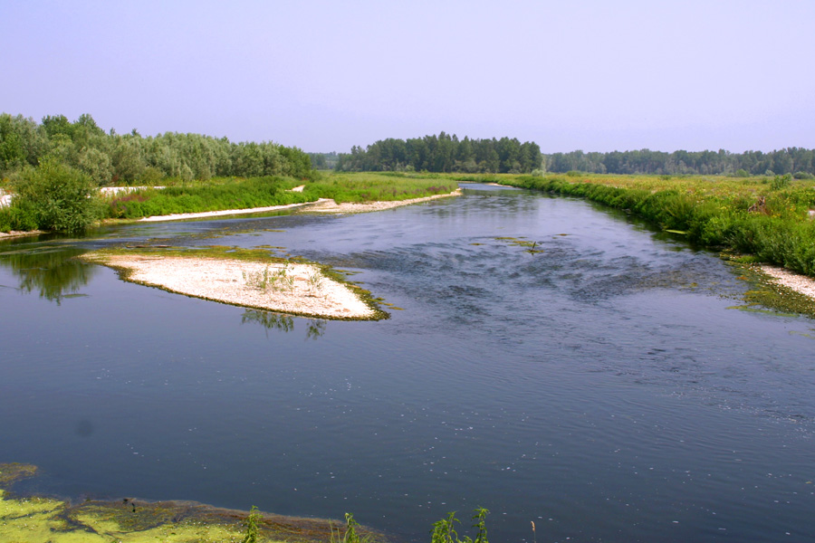
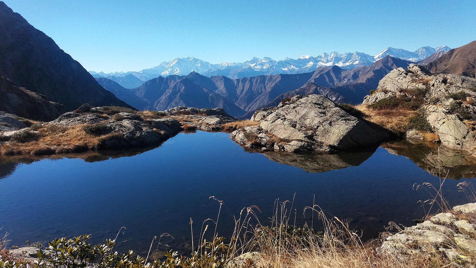
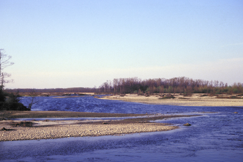
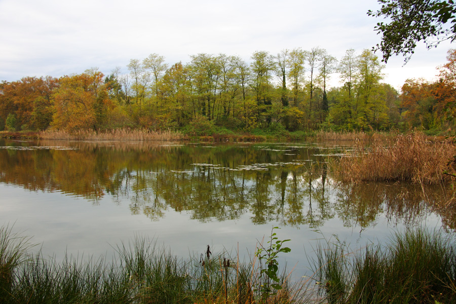
A terrestrial area, with forests and mountains.
What rocks lie beneath Campo dei Fiori Regional Park?
According to the European 1:1 million geological map (EGDI), the bedrock consists mainly of glacial deposits (33% of sampled points), limestones (33%) and andesites and dacites (17%). These are mostly sedimentary rocks. The geological units date mainly from the Quaternary (42% of sampled points).
What is the highest point of Campo dei Fiori Regional Park?
Punta di Mezzo, at 1,227 m (OpenStreetMap).
What are the main summits of Campo dei Fiori Regional Park?
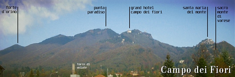
Punta di Mezzo (1,227 m), Punta Paradiso (1,226 m), Punta Merigetto (1,164 m), Punta di Orino (1,139 m) and Monte Tre Croci (1,111 m) (OpenStreetMap).
Which international labels apply to Campo dei Fiori Regional Park?
Natura 2000 network (6 sites).
When is the best time to visit Campo dei Fiori Regional Park?
Best time to visit: from May to September, with average temperatures of 10 to 17 °C and moderate rainfall.
What is there to see in Campo dei Fiori Regional Park?
44 viewpoints, 18 waterfalls, 7 lakes and ponds and 22 caves, including Punta di Mezzo (1,227 m), Cascata Valvassera, Lago di Ganna (455 m) and Abisso dei Ghiri (OpenStreetMap).
Where can I stay in Campo dei Fiori Regional Park?
5 mountain huts, including Rifugio Alpino Giuseppe Sangiani (713 m), Rifugio Militare del Forte di Orino and Rifugio Villaggio Cagnola (OpenStreetMap).
Are there historic monuments in Campo dei Fiori Regional Park?
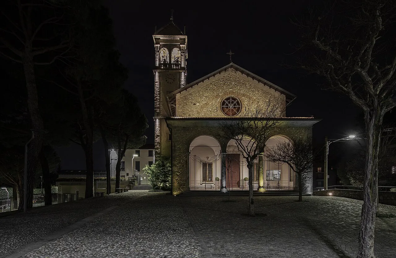
Yes. According to Wikidata, 38 monuments protected as Italian national cultural heritage stand within the boundary. For example: “Church of Saints Pietro and Paolo” in Brinzio, “Casa Museo Lodovico Pogliaghi” in Varese and “Caffè del Borducan” in Varese.
What is the nearest large city to Campo dei Fiori Regional Park?
Nearest towns of over 50,000 people, as the crow flies: Varese (4 km) and Lugano (16 km). Nearest airport: Milan–Malpensa "Silvio Berlusconi" (MXP), about 24 km away.
How can I reach Campo dei Fiori Regional Park by train?
The nearest railway station is Induno Olona, about 1 km from the site boundary.
Where can I get visitor information on site?
Pro Loco di Gavirate, Sede del Parco regionale Campo dei Fiori and Sede Pro Loco Brinzio.
Are there waymarked hiking trails in Campo dei Fiori Regional Park?
Yes. Waymarked hiking routes listed in OpenStreetMap: 36, including Via Francisca del Lucomagno. The “Via Francisca del Lucomagno: Tappa 2” route runs for about 15 km through the site, with some 550 m of ascent on its longest section.
Which species can be seen in Campo dei Fiori Regional Park?
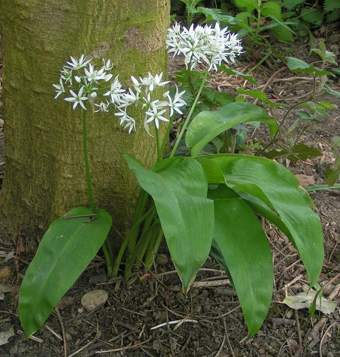
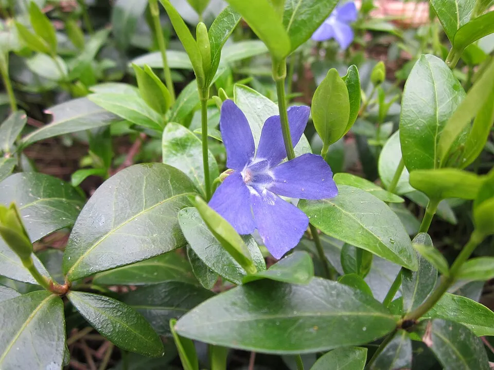
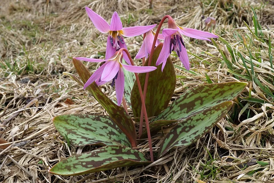
Among the species most often recorded on GBIF are Fagus sylvatica (European Beech), Allium ursinum (Ramsons), Vinca minor (Lesser periwinkle) and Erythronium dens-canis (Dog's-tooth-violet).
What is the official website of Campo dei Fiori Regional Park?
© OpenStreetMap
Download the boundary: GeoJSON · GPX Boundary © OpenStreetMap contributors (ODbL).
Geography
The representative point of the site lies at around 1,136 m above sea level. Over the 1996–2025 period, the mean annual temperature is about 7.2 °C and total precipitation reaches roughly 1,668 mm per year. The warmest month is usually July, the coolest January, and the wettest October. According to the European 1:1 million geological map (EGDI), the bedrock consists mainly of glacial deposits (33% of sampled points), limestones (33%) and andesites and dacites (17%). These are mostly sedimentary rocks. The geological units date mainly from the Quaternary (42% of sampled points).
Area
- Area
- 6,300 ha
- Elevation
- 1,136 m
- Median elevation
- 637 m
- Mean slope
- 17°
- Coordinates
- 45.8689, 8.7744
Terrain: Mapzen Terrain Tiles (SRTM, USGS)
Elevation bands
- below 500 m 11%
- 500–1,000 m 83%
- 1,000–1,500 m 6%
share of the site in each elevation band (smoothed terrain model: summits are rounded off) · Terrain: Mapzen Terrain Tiles (SRTM, USGS)
Bedrock
- Glacial deposits 33 %
- Limestones 33 %
- Andesites and dacites 17 %
- Unconsolidated deposits 8 %
- Dolomites 8 %
Sedimentary rocks 83 % · Igneous rocks 17 % · Main age: Quaternary (42%)
Source: EGDI 1:1M geological map (EuroGeoSurveys and national geological surveys), CC BY 4.0 · 12 sampled points within the site.
Main summits
- Punta di Mezzo1,227 m
- Punta Paradiso1,226 m
- Punta Merigetto1,164 m
- Punta di Orino1,139 m
- Monte Tre Croci1,111 m
- Monte Martica1,026 m
- Monte Vasera1,023 m
- Punta Rossotti1,021 m
- Monte Muraccio945 m
- Monte Pizzelle940 m
Data © OpenStreetMap contributors (ODbL)
Climate
● Mean temperature (°C) · ▮ Precipitation (mm)
Source: Copernicus ERA5-Land (C3S, doi:10.24381/cds.68d2bb30), monthly averages 1996–2025 interpolated to the representative point, temperatures adjusted for elevation.
Contains modified Copernicus Climate Change Service information 2026. Neither the European Commission nor ECMWF is responsible for any use that may be made of the Copernicus information or data it contains.
Snow cover measured by satellite
J
F
M
A
M
J
J
A
S
O
N
D
average share of the site under snow · snowiest parts · ≈ 10 days a year
Snow cover: MODIS/Terra MOD10CM v61 (Hall & Riggs, 2021, NASA NSIDC DAAC, doi:10.5067/MODIS/MOD10CM.061), imagery from NASA GIBS (ESDIS); 2015–2025 average, grid of about 5 km.
Natural habitats
According to CORINE Land Cover (2018), the site is mainly made up of forests (89%) and built-up or developed land (6%). Woodland is mostly broadleaved. Elevation ranges from about 450 m to 1,227 m (highest point: Punta di Mezzo). Median elevation is 637 m, and 89% of the site lies above 500 m (SRTM elevation model). The terrain is steep: 53% of slopes exceed 15° (mean slope 17°). The 6 Natura 2000 sites overlapping the area list 17 habitats of European interest (6 priority), the most extensive being Luzulo-Fagetum beech forests, Asperulo-Fagetum beech forests and Tilio-Acerion forests of slopes, screes and ravines.
Biodiversity
Based on occurrences aggregated by GBIF, several species are regularly recorded within the site. Among the most frequent are Fagus sylvatica (European Beech), Allium ursinum (Ramsons), Vinca minor (Lesser periwinkle) and Erythronium dens-canis (Dog's-tooth-violet). The full list of documented taxa is shown below. The overlapping Natura 2000 sites list 117 species of European interest: 76 birds, 18 mammals, 4 reptiles, 4 amphibians, 4 fish, 6 invertebrates and 5 plants.
Habitats of European interest
From the official forms of the 6 Natura 2000 sites overlapping the area (areas reported for each whole site).
- Luzulo-Fagetum beech forests 865 ha
- Asperulo-Fagetum beech forests 321 ha
- Tilio-Acerion forests of slopes, screes and ravines priority 230 ha
- European dry heaths 132 ha
- Pannonian woods with Quercus pubescens priority 124 ha
- Alluvial forests with Alnus glutinosa and Fraxinus excelsior (Alno-Padion, Alnion incanae, Salicion albae) priority 80 ha
- Calcareous rocky slopes with chasmophytic vegetation 60 ha
- Semi-natural dry grasslands and scrubland facies on calcareous substrates (Festuco-Brometalia) (* important orchid sites) 28 ha
and 9 more
Species of European interest
Birds · 76
Eurasian Goshawk (Accipiter gentilis) breeding, Eurasian Sparrowhawk (Accipiter nisus) wintering breeding passage resident, Long-tailed Tit (Aegithalos caudatus) resident, Common Kingfisher (Alcedo atthis) resident breeding, Mallard (Anas platyrhynchos) passage breeding wintering, Common Swift (Apus apus) breeding, Grey Heron (Ardea cinerea) passage breeding, Long-eared Owl (Asio otus) wintering, Common Buzzard (Buteo buteo) passage wintering breeding, European Nightjar (Caprimulgus europaeus) breeding, European Goldfinch (Carduelis carduelis) resident, Citril Finch (Carduelis citrinella) wintering and 64 more
Mammals · 18
Serotine bat (Eptesicus serotinus), European pine marten (Martes martes), Hazel dormouse (Muscardinus avellanarius), Western Polecat (Mustela putorius), Bechstein's bat (Myotis bechsteinii), Long-fingered bat (Myotis capaccinii), Daubenton's bat (Myotis daubentonii), Geoffroy's bat (Myotis emarginatus), Whiskered bat (Myotis mystacinus), Natterer's bat (Myotis nattereri), Lesser noctule (Nyctalus leisleri), Kuhl's pipistrelle (Pipistrellus kuhlii) and 6 more
Reptiles · 4
Smooth snake (Coronella austriaca), Dice snake (Natrix tessellata), Common wall lizard (Podarcis muralis), Aesculapian Snake (Zamenis longissimus)
Amphibians · 4
Agile frog (Rana dalmatina), Italian agile frog (Rana latastei), Common frog (Rana temporaria), Italian crested newt (Triturus carnifex)
Fish · 4
European bullhead (Cottus gobio), Lombardy lamprey (Lethenteron zanandreai), Italian Loach (Sabanejewia larvata), Italian Riffle Dace (Telestes muticellus)
Invertebrates · 6
White-clawed Crayfish (Austropotamobius pallipes), Greater Capricorn Beetle (Cerambyx cerdo), Jersey Tiger (Euplagia quadripunctaria), Woodland brown (Lopinga achine), Stag beetle (Lucanus cervus), Large Blue (Maculinea arion)
Plants · 5
Dicranum moss (Dicranum viride), Snowdrop (Galanthus nivalis), Hamatocaulis moss (Hamatocaulis vernicosus), Field Macewort (Mannia triandra), Butcher's-broom (Ruscus aculeatus)
Source: Natura 2000 standard data forms (EEA, CC-BY 4.0). Not exhaustive: sensitive species are not published.
Species to look out for

Observed species
Occurrences documented via GBIF; they are neither an exhaustive inventory nor proof of current presence.
- European Beech · Fagus sylvatica · 66
- Ramsons · Allium ursinum · 47
- Lesser periwinkle · Vinca minor · 45
- Dog's-tooth-violet · Erythronium dens-canis · 36
- Common Blackbird · Turdus merula · 32
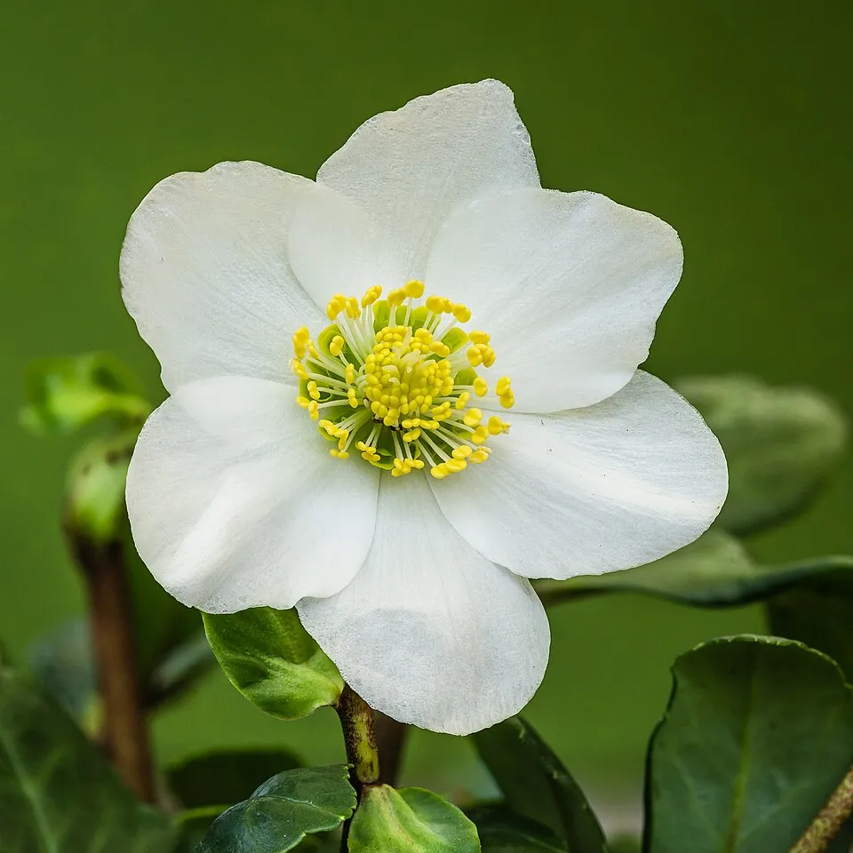
- Black hellebore · Helleborus niger · 31
- Hazel · Corylus avellana · 29
- Holly · Ilex aquifolium · 27
- Hooded Crow · Corvus cornix · 26
- Butcher's-broom · Ruscus aculeatus · 26
- Coralroot bittercress · Cardamine bulbifera · 26
- Asplenium seelosii · 24
Records: GBIF.org (CC-BY). Names: Wikidata (CC0), GBIF. Photos: Wikimedia Commons.
Conservation challenges
The primary purpose of the site is to preserve its natural habitats and the biodiversity they support. The species recorded (Biodiversity tab) reflect its ecological value. The designations it holds frame its management and the control of land use.
According to Global Forest Change data (University of Maryland, Global Forest Watch), about 128 ha of tree cover were lost within the boundary between 2001 and 2023 (2% of its area), peaking in 2021 and 2023. These losses include logging, storms and fires, and do not account for regrowth. According to CORINE Land Cover, land cover here remained almost unchanged between 1990 and 2018 (less than 0.5% of the area affected). Since 2016, the European EFFIS system (Copernicus) has mapped 3 fires here, burning about 416 ha within the boundary; the largest, in January 2019 (near Induno Olona), covered 345 ha. At night, 84% of the area gives off artificial light detectable from space (NASA VIIRS Black Marble composite, 2016). Built-up and developed land (buildings, business areas, roads, quarries) covers 6% of the area (CORINE Land Cover). According to the Natura 2000 forms, of 17 assessed habitats of European interest, 5 are in excellent condition and 3 in average or reduced condition. According to the Water Framework Directive assessment (2022 river basin management plans, data 2014–2019), only 27% of the 17 km of rivers assessed within the site are in good or high ecological status; the others mostly have moderate ecological status. Other assessed water bodies: lakes, 1 of 1 in good ecological status or better. Since 2000, 21 invasive alien species have been recorded within the site (GBIF observations), 3 of them listed as of Union concern under EU Regulation 1143/2014. Among them: Reynoutria japonica (Japanese Knotweed), Ailanthus altissima (Tree-of-heaven) and Lepomis gibbosus (Pumpkinseed).
Pressure indicators
Tree cover lost
128 ha
2001–2023 · 2% of the area
20012023
Fires since 2016
416 ha
burned within the boundary (3 mapped fires)
- 2019 · Induno Olona · 345 ha
- 2017 · Barasso · 37 ha
- 2017 · Varese · 34 ha
Light at night
84%
of the area gives off artificial light visible from space
DarkLit
Built-up land
6%
buildings, business areas, roads, quarries · farmland 1%
Land cover change
< 0.5%
of the area changed, 1990–2018 · CORINE
Rivers and lakes
27%
of the 17 km of assessed rivers in good or high ecological status · WFD 2022
Lakes: 1 of 1 good or better
assessments 2014–2019
Invasive alien species
21
incl. 3 of EU concern · since 2000
 Japanese KnotweedEU
 Tree-of-heavenEU
 PumpkinseedEU
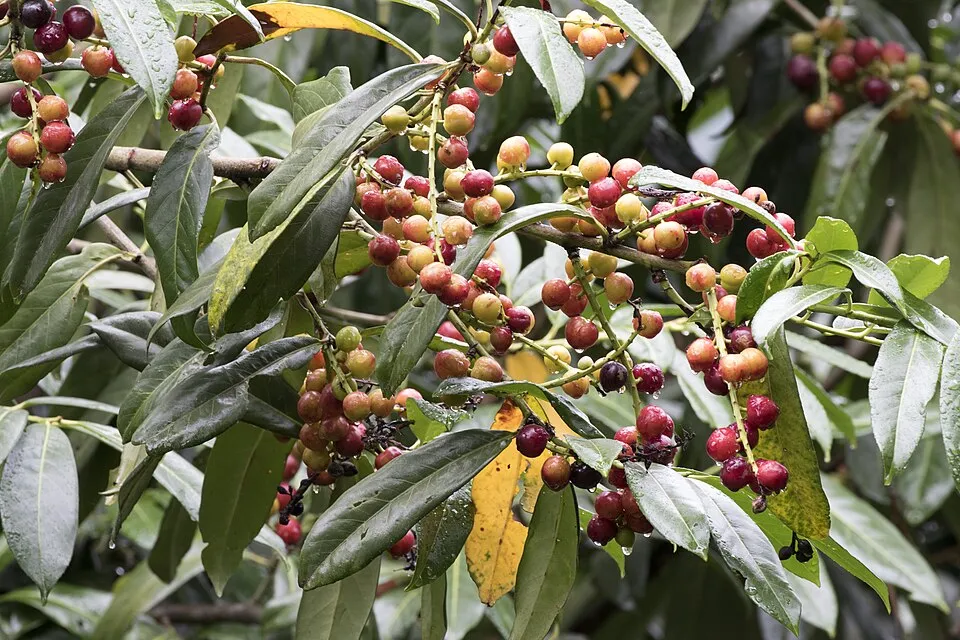 Cherry laurel
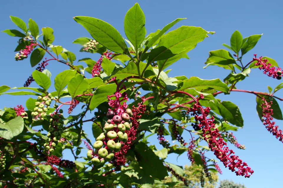 American pokeweed
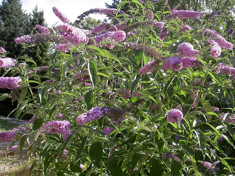 Butterfly-bush
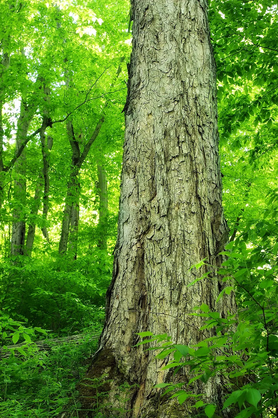 Northern red oak
 Small balsam
Photos: Japanese Knotweed © W.carter · CC0-1.0; Tree-of-heaven © Darkone · CC BY-SA 2.5; Pumpkinseed © Cephas · CC BY-SA 3.0; Cherry laurel © Zeynel Cebeci · CC BY-SA 4.0; American pokeweed © Huw Williams (Huwmanbeing) · Public domain; Butterfly-bush © --IKAl 15:22, 23 July 2007 (UTC) · CC BY-SA 2.5; Northern red oak © Nicholas A. Tonelli from Northeast Pennsylvania, USA · CC BY 2.0; Small balsam © André Karwath aka Aka · CC BY-SA 2.5
Sources: Global Forest Change (Hansen et al., University of Maryland, via Global Forest Watch, CC-BY 4.0); EFFIS, European Commission / Copernicus; NASA Black Marble 2016 (public domain); CORINE Land Cover 2018 (Copernicus) or MODIS.
CORINE Land Cover Change 1990–2018: generated using European Union's Copernicus Land Monitoring Service information (EEA), aggregated by Parkavela; DOI 10.2909/f30f1000-7cf8-43bb-872c-5eb093911b24.
Ecological status of water bodies: European Environment Agency, WISE – Water Framework Directive, 3rd river basin management plans (2022), CC BY 4.0. Official national classification, not comparable between countries.
Invasive alien species: Global Register of Introduced and Invasive Species (ISSG, CC BY 4.0); Union list, Regulation (EU) 1143/2014 (INBO, CC0); GBIF.org records (CC0 / CC BY 4.0), at least 2 per species.
Practical information
Cities and airport
- Varese
4 km as the crow flies - Lugano
16 km as the crow flies - Airport: Milan–Malpensa "Silvio Berlusconi" (MXP)
24 km as the crow flies
Visitor information
- Pro Loco di Gavirate
2 km from the site boundary - Sede del Parco regionale Campo dei Fiori
within the site - Sede Pro Loco Brinzio
within the site - InfoPoint Amici del Sacro Monte
within the site
Things to see
44 viewpoints · 18 waterfalls · 7 lakes and ponds · 22 caves
- Punta di Mezzo
viewpoint · 1,227 m - Cascata Valvassera
waterfall - Lago di Ganna
lake or pond · 455 m - Abisso dei Ghiri
cave - Punta Rossotti
viewpoint · 1,021 m
Where to stay
5 mountain huts
- Rifugio Alpino Giuseppe Sangiani
Unstaffed hut · 713 m · 4 beds - Rifugio Militare del Forte di Orino
Staffed hut - Rifugio Villaggio Cagnola
Unstaffed hut
Hiking
36 waymarked routes listed, including:
Via Francisca del Lucomagno
Data © OpenStreetMap contributors (ODbL) · Wikidata (CC0)
Waymarked hiking routes
Via Francisca del Lucomagno: Tappa 2
14.9 km within the site ↗ 547 m↘ 571 m 455–828 m
Scarett
1.9 km within the site ↗ 0 m↘ 374 m 708–1,086 m
up to T3 · demanding mountain hiking
3V Via Verde Varesina Tappa 3
10 km within the site ↗ 187 m↘ 463 m 818–1,200 m
up to T2 · mountain hiking
3V Via Verde Varesina tappa 2
8.2 km within the site ↗ 178 m↘ 508 m 478–818 m
Tracks © OpenStreetMap contributors (ODbL), clipped to the boundary; elevation gain and profiles computed on the longest section from Mapzen Terrain Tiles (≈ 30 m), indicative only. Indicative difficulty (SAC scale, OpenStreetMap, via Waymarked Trails): check with the park.
Access and visiting
The nearest railway station is Induno Olona, about 1 km from the site boundary. Nearest towns of over 50,000 people, as the crow flies: Varese (4 km) and Lugano (16 km). Nearest airport: Milan–Malpensa "Silvio Berlusconi" (MXP), about 24 km away. About 1.1 million people live within 20 km of the site boundary, 370,000 of them within 10 km; some 6,600 people are estimated to live inside (GHSL estimate, 2020). This population has grown by about 13% since 2000. Visitor information on site: Pro Loco di Gavirate, Sede del Parco regionale Campo dei Fiori and Sede Pro Loco Brinzio. Waymarked hiking routes listed in OpenStreetMap: 36, including Via Francisca del Lucomagno. To see: 44 viewpoints, 18 waterfalls, 7 lakes and ponds and 22 caves, including Punta di Mezzo (1,227 m), Cascata Valvassera, Lago di Ganna (455 m) and Abisso dei Ghiri. Where to stay: 5 mountain huts, including Rifugio Alpino Giuseppe Sangiani (713 m), Rifugio Militare del Forte di Orino and Rifugio Villaggio Cagnola. To plan a visit (access, opening periods, visitor rules), it is best to consult the official information from the managing body and the official website listed in this page's sources.
Source: OpenStreetMap (ODbL), Wikidata (CC0), October 2026.
Built heritage
According to Wikidata, 38 monuments protected as Italian national cultural heritage stand within the boundary. Among them are 18 religious buildings, 11 houses and civic buildings and 2 bridges, lighthouses, mills and working buildings. Examples include “Church of Saints Pietro and Paolo” in Brinzio, “Casa Museo Lodovico Pogliaghi” in Varese and “Caffè del Borducan” in Varese.
18 religious buildings11 houses and civic buildings2 bridges, lighthouses, mills and working buildings1 prehistoric or archaeological site
-
Church of Saints Pietro and Paolo
Brinzio · 18th c. -
Casa Museo Lodovico Pogliaghi
Varese -
Caffè del Borducan
Varese -
Fontana del Mosè
Varese · 19th c. -
Sacro Monte di Varese: I Arco
Varese -
Chiesa dell'Immacolata Concezione
Varese -
Grand Hotel tre Croci
Varese -
Sacro Monte di Varese: Fontana della Samaritana
Varese
and 30 more
Source: Wikidata (CC0), monuments in each country’s official heritage protection registers, at national or regional level. Each item links to its Wikidata entry.
When to visit
Best time to visit: from May to September, with average temperatures of 10 to 17 °C and moderate rainfall. Average temperatures drop below 0 °C from December to February: frost is common. These averages apply to the site's representative point (1,136 m); higher up it is markedly cooler and snow lasts longer. Snow only makes brief appearances in winter (about 10 days a year on average, MODIS satellites 2015–2025). Day length ranges from about 8 h 40 min in December to 15 h 43 min in June. Wildlife records published on GBIF peak for birds (December and January), plants (May), butterflies and moths (from May to August), dragonflies (July) and mammals (April and May). These peaks also reflect when observers are most active.
Source: Copernicus ERA5-Land (C3S), monthly averages 1996–2025 at the representative point, temperatures adjusted for elevation.
Contains modified Copernicus Climate Change Service information 2026. Neither the European Commission nor ECMWF is responsible for any use that may be made of the Copernicus information or data it contains.
Wildlife records calendar
JFMAMJJASOND
Birds
Plants
Butterflies & moths
Dragonflies
Mammals
Monthly records published on GBIF (CC-BY), relative to the busiest month; also reflects observer activity.
Gallery
© Idéfix · CC BY-SA 3.0
© Gianluca Zen · CC BY-SA 4.0
© Lidernen · CC BY-SA 4.0
© Andrea2393 · CC BY-SA 4.0
© Mænsard vokser · CC BY-SA 4.0
© Andrek02 · CC0-1.0
Sources and licences
- Wikidata: Q3895722
- Official website: http://www.parcocampodeifiori.it/
- Wikipedia: en.wikipedia.org/wiki/Campo_dei_Fiori_Regional_Park
- WDPA: 390492
References
- cds.climate.copernicus.eu: climate · CC-BY-4.0
- registry.opendata.aws: elevation of the reference point, detailed relief · PD
- land.copernicus.eu: land cover, land cover change, sea share · COPERNICUS
- doi.org: population around the site · CC-BY-4.0
- wikidata.org: official area, establishment date, protected heritage, nearby cities and airport, access and peaks, lake depths, places to see, official website · CC0-1.0
- eea.europa.eu: bathing water quality, ecological status of waters · CC-BY-4.0
- en.eurovelo.com: EuroVelo cycle routes · ODbL-1.0
- cycling.waymarkedtrails.org: cycle routes · ODbL-1.0
- opentopodata.org: elevations · PD
- forest-fire.emergency.copernicus.eu: wildfires · COPERNICUS
- globalforestwatch.org: tree cover loss · CC-BY-4.0
- gbif.org: seasonality of sightings, invasive alien species, observed species · CC-BY-4.0
- europe-geology.eu: geology · CC-BY-4.0
- hydrosheds.org: lakes · CC-BY-4.0
- natura2000.eea.europa.eu: Natura 2000 habitats and species · CC-BY-4.0
- openstreetmap.org: official name, access and peaks, places to see · ODbL-1.0
- earthobservatory.nasa.gov: night light · PD
- hiking.waymarkedtrails.org: route difficulty · ODbL-1.0
- nsidc.org: snow cover · PD
- wikidata.org: Wikipedia article · CC-BY-SA-4.0
Data © OpenStreetMap contributors (ODbL), Wikidata (CC0) and the sources cited.