Plant
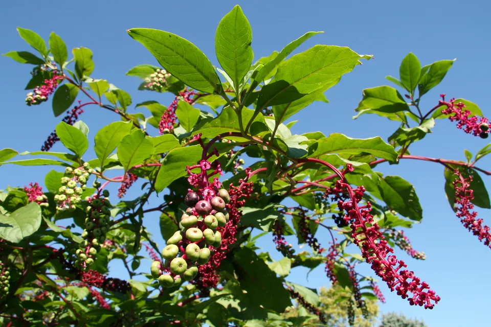
American pokeweed
Phytolacca americana172 records © Huw Williams (Huwmanbeing) · Public domain
Italy · Terrestrial
Regional nature park of 855 hectares in Italy, established in 1993.
Regional nature park of 855 hectares in Italy, established in 1993.
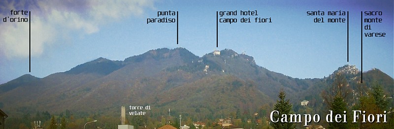
Spina Verde Regional Park is a regional nature park in Italy (Europe). It is a predominantly terrestrial area. Established in 1993, it covers about 855 hectares.
Protected as a regional nature park. International labels and designations: Natura 2000 network (1 site: “Spina verde”).
In Italy (Europe). Representative point: 45.8069° N, 9.0575° E.
About 855 hectares (9 km²). It is the 106th largest of the 128 regional parks in Italy covered by Parkavela.
In 1993.
A terrestrial area, with forests.
According to the European 1:1 million geological map (EGDI), the bedrock consists mainly of limestones (83% of sampled points). These are mostly sedimentary rocks. The geological units date mainly from the Neogene (83% of sampled points).
Natura 2000 network (1 site: “Spina verde”).
Best time to visit: from April to October, with average temperatures of 11 to 22 °C and moderate rainfall.
7 viewpoints and 1 cave, including Pin Umbrela (621 m) and Belvedere Baita Elisa (OpenStreetMap).
Mountain hut Casa Scout Don Titino (OpenStreetMap).
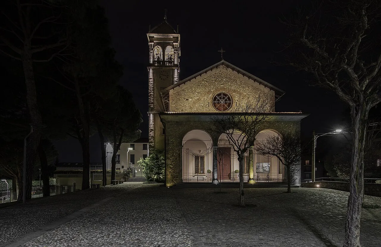
Yes. According to Wikidata, 3 monuments protected as Italian national cultural heritage stand within the boundary. For example: “Campanile della Chiesa della Madonna Assunta” in Drezzo, “Villa Giovio” in Como and “Chiesa della Madonna Assunta” in Colverde.
One monitored bathing site lies in or within 1 km of the site; official 2025 classification: 1 excellent (European Environment Agency). Swimming is only permitted at the sites and times authorised locally.
Nearest towns of over 50,000 people, as the crow flies: Como (0.9 km) and Varese (12 km). Nearest airport: Milan–Malpensa "Silvio Berlusconi" (MXP), about 29 km away.
The nearest railway station is Como San Giovanni, less than 1 km from the site boundary.
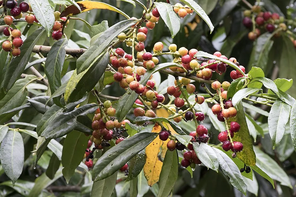
Among the species most often recorded on GBIF are Phytolacca americana (American pokeweed), Prunus laurocerasus (Cherry laurel), Phlebotomus perniciosus and Robinia pseudoacacia (Black locust).
© OpenStreetMap
Download the boundary: GeoJSON · GPX Boundary © OpenStreetMap contributors (ODbL).
The representative point of the site lies at around 421 m above sea level. Over the 1996–2025 period, the mean annual temperature is about 11.8 °C and total precipitation reaches roughly 1,534 mm per year. The warmest month is usually July, the coolest January, and the wettest November. According to the European 1:1 million geological map (EGDI), the bedrock consists mainly of limestones (83% of sampled points). These are mostly sedimentary rocks. The geological units date mainly from the Neogene (83% of sampled points).
Terrain: Mapzen Terrain Tiles (SRTM, USGS)
Sedimentary rocks 100 % · Main age: Neogene (83%)
Source: EGDI 1:1M geological map (EuroGeoSurveys and national geological surveys), CC BY 4.0 · 12 sampled points within the site.
● Mean temperature (°C) · ▮ Precipitation (mm)
Source: Copernicus ERA5-Land (C3S, doi:10.24381/cds.68d2bb30), monthly averages 1996–2025 interpolated to the representative point, temperatures adjusted for elevation.
Contains modified Copernicus Climate Change Service information 2026. Neither the European Commission nor ECMWF is responsible for any use that may be made of the Copernicus information or data it contains.
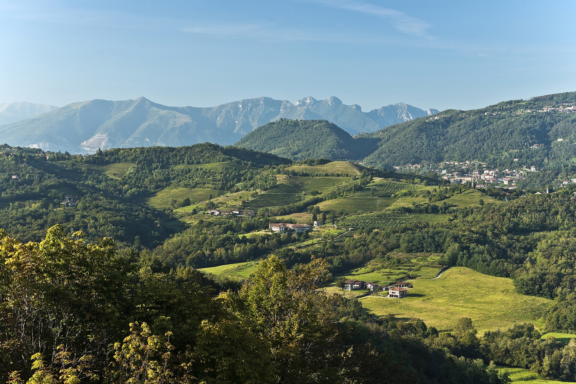
According to CORINE Land Cover (2018), the site is mainly made up of forests (66%), built-up or developed land (20%) and farmland (14%). Woodland is mostly broadleaved. Elevation ranges from about 260 to 590 m (sampled elevations, SRTM). The Natura 2000 site overlapping the area lists 5 habitats of European interest (2 priority), the most extensive being Castanea sativa woods, Pannonian woods with Quercus pubescens and European dry heaths.
Based on occurrences aggregated by GBIF, several species are regularly recorded within the site. Among the most frequent are Phytolacca americana (American pokeweed), Prunus laurocerasus (Cherry laurel), Phlebotomus perniciosus and Robinia pseudoacacia (Black locust). The full list of documented taxa is shown below. The overlapping Natura 2000 site lists 8 species of European interest: 3 mammals, 2 reptiles, 2 amphibians and 1 invertebrate.
From the official form of the Natura 2000 site overlapping the area (areas reported for the whole site).
Hazel dormouse (Muscardinus avellanarius), Geoffroy's bat (Myotis emarginatus), Greater Horseshoe Bat (Rhinolophus ferrumequinum)
Agile frog (Rana dalmatina), Italian agile frog (Rana latastei)
Source: Natura 2000 standard data forms (EEA, CC-BY 4.0). Not exhaustive: sensitive species are not published.
Plant
172 records © Huw Williams (Huwmanbeing) · Public domain

Plant

Occurrences documented via GBIF; they are neither an exhaustive inventory nor proof of current presence.
Records: GBIF.org (CC-BY). Names: Wikidata (CC0), GBIF. Photos: Wikimedia Commons.
The primary purpose of the site is to preserve its natural habitats and the biodiversity they support. The species recorded (Biodiversity tab) reflect its ecological value. The designations it holds frame its management and the control of land use.
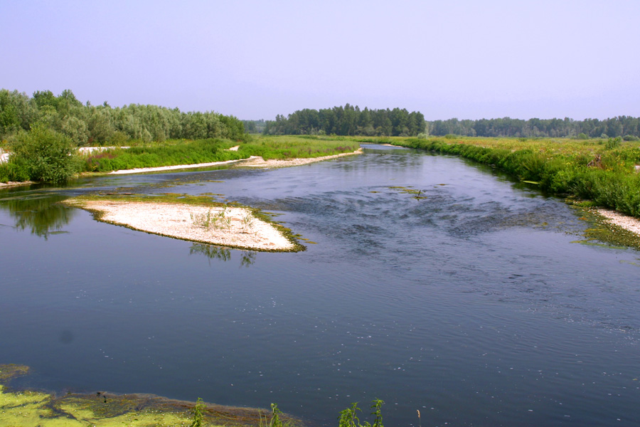
According to Global Forest Change data (University of Maryland, Global Forest Watch), about 15 ha of tree cover were lost within the boundary between 2001 and 2023 (2% of its area), peaking in 2004 and 2023. These losses include logging, storms and fires, and do not account for regrowth. According to CORINE Land Cover, land cover here remained almost unchanged between 2000 and 2018 (less than 0.5% of the area affected). At night, 100% of the area gives off artificial light detectable from space (NASA VIIRS Black Marble composite, 2016). Built-up and developed land (buildings, business areas, roads, quarries) covers 20% of the area, and farmland 14% (CORINE Land Cover). According to the Water Framework Directive assessment (2022 river basin management plans, data 2014–2019), of the 2 rivers assessed within the site, 1 has moderate ecological status and 1 poor ecological status. Since 2000, 14 invasive alien species have been recorded within the site (GBIF observations), 3 of them listed as of Union concern under EU Regulation 1143/2014. Among them: Ailanthus altissima (Tree-of-heaven), Reynoutria japonica (Japanese Knotweed) and Broussonetia papyrifera (Paper mulberry).
15 ha
2001–2023 · 2% of the area
0
No large fire mapped (fires over about 30 ha)
100%
of the area gives off artificial light visible from space
20%
buildings, business areas, roads, quarries · farmland 14%
< 0.5%
of the area changed, 2000–2018 · CORINE
0%
of the 4 km of assessed rivers in good or high ecological status · WFD 2022
assessments 2014–2019
14
incl. 3 of EU concern · since 2000
Tree-of-heavenEU
 Japanese KnotweedEU
 Paper mulberryEU
American pokeweed
Cherry laurel
Black locust
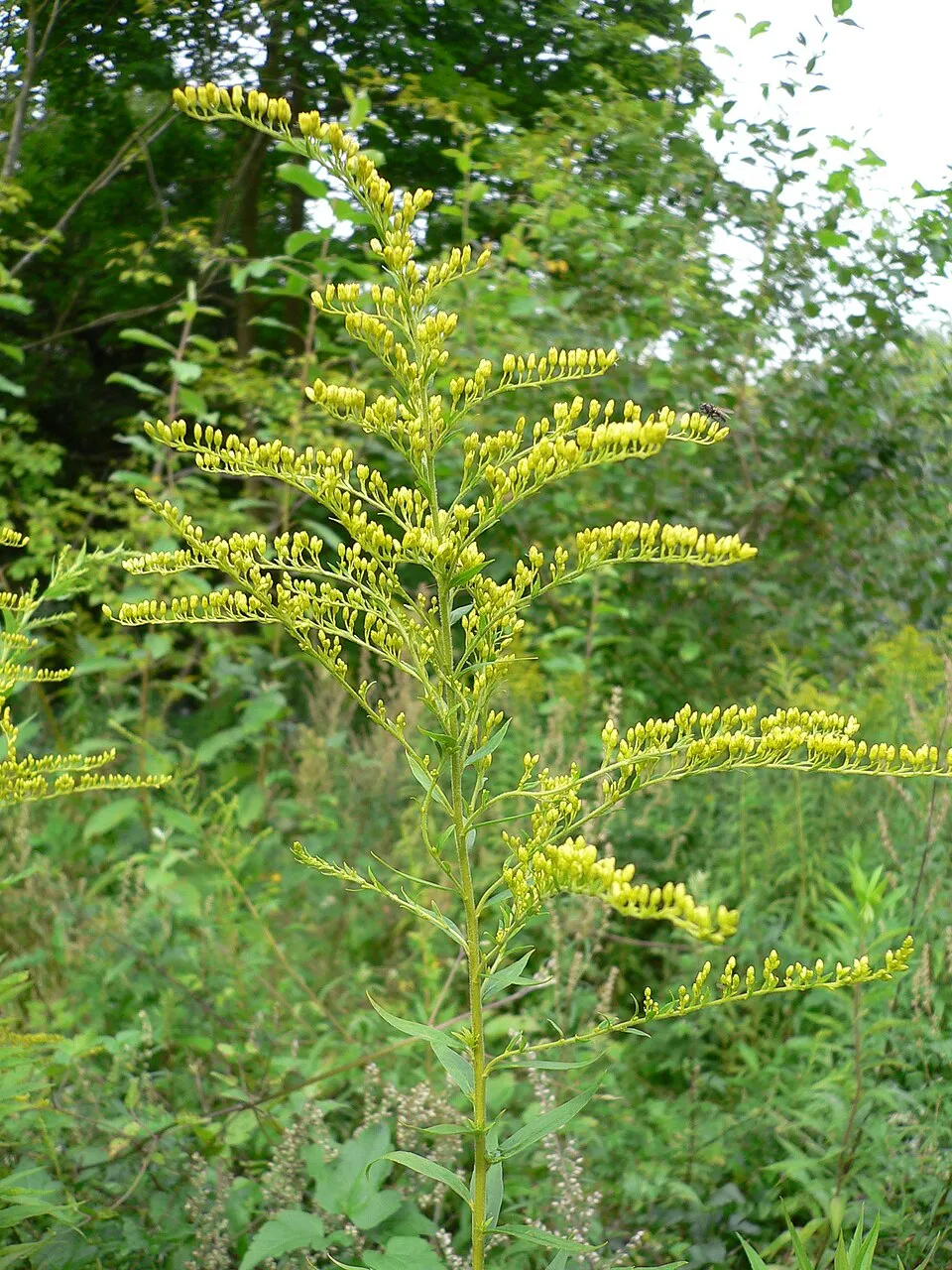
Canada goldenrod
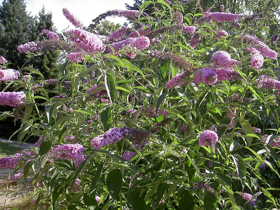
Butterfly-bush
Photos: Tree-of-heaven © Darkone · CC BY-SA 2.5; Japanese Knotweed © W.carter · CC0-1.0; Paper mulberry © Didier Descouens · CC BY-SA 4.0; American pokeweed © Huw Williams (Huwmanbeing) · Public domain; Cherry laurel © Zeynel Cebeci · CC BY-SA 4.0; Black locust © This Photo was taken by Wolfgang Moroder. Feel free to use my photos, but please mention me as the author and send me a message. This image is not in the public domain. Please respect the copyright protection. It may only be used according… · CC BY-SA 3.0; Canada goldenrod © Georg Slickers · CC BY-SA 4.0; Butterfly-bush © --IKAl 15:22, 23 July 2007 (UTC) · CC BY-SA 2.5
Sources: Global Forest Change (Hansen et al., University of Maryland, via Global Forest Watch, CC-BY 4.0); EFFIS, European Commission / Copernicus; NASA Black Marble 2016 (public domain); CORINE Land Cover 2018 (Copernicus) or MODIS.
CORINE Land Cover Change 2000–2018: generated using European Union's Copernicus Land Monitoring Service information (EEA), aggregated by Parkavela; DOI 10.2909/f30f1000-7cf8-43bb-872c-5eb093911b24.
Ecological status of water bodies: European Environment Agency, WISE – Water Framework Directive, 3rd river basin management plans (2022), CC BY 4.0. Official national classification, not comparable between countries.
Invasive alien species: Global Register of Introduced and Invasive Species (ISSG, CC BY 4.0); Union list, Regulation (EU) 1143/2014 (INBO, CC0); GBIF.org records (CC0 / CC BY 4.0), at least 2 per species.
Signed cycle routes: this does not mean that cycling is allowed on footpaths.
Data © OpenStreetMap contributors (ODbL) · Wikidata (CC0)
Routes © OpenStreetMap contributors (ODbL), via Waymarked Trails
1 monitored bathing site in or within 1 km of the site · 2025 classification
Source: European Environment Agency, official bathing water classification (Directive 2006/7/EC, CC-BY 4.0). Swimming is only permitted at the sites and times authorised locally.
The nearest railway station is Como San Giovanni, less than 1 km from the site boundary. Nearest towns of over 50,000 people, as the crow flies: Como (0.9 km) and Varese (12 km). Nearest airport: Milan–Malpensa "Silvio Berlusconi" (MXP), about 29 km away. About 1.5 million people live within 20 km of the site boundary, 440,000 of them within 10 km; some 17,000 people are estimated to live inside (GHSL estimate, 2020). This population has grown by about 16% since 2000. A signed cycle route crosses the site: “BI-12 Ciclovia Pedemontana Alpina” (OpenStreetMap). To see: 7 viewpoints and 1 cave, including Pin Umbrela (621 m) and Belvedere Baita Elisa. Where to stay: mountain hut Casa Scout Don Titino. To plan a visit (access, opening periods, visitor rules), it is best to consult the official information from the managing body and the official website listed in this page's sources.
Source: OpenStreetMap (ODbL), Wikidata (CC0), October 2026.
According to Wikidata, 3 monuments protected as Italian national cultural heritage stand within the boundary. Examples include “Campanile della Chiesa della Madonna Assunta” in Drezzo, “Villa Giovio” in Como and “Chiesa della Madonna Assunta” in Colverde.
Source: Wikidata (CC0), monuments in each country’s official heritage protection registers, at national or regional level. Each item links to its Wikidata entry.
Best time to visit: from April to October, with average temperatures of 11 to 22 °C and moderate rainfall. Day length ranges from about 8 h 41 min in December to 15 h 42 min in June. Wildlife records published on GBIF peak for birds (December and January), plants (May) and butterflies and moths (August). These peaks also reflect when observers are most active.
Source: Copernicus ERA5-Land (C3S), monthly averages 1996–2025 at the representative point, temperatures adjusted for elevation.
Contains modified Copernicus Climate Change Service information 2026. Neither the European Commission nor ECMWF is responsible for any use that may be made of the Copernicus information or data it contains.
Monthly records published on GBIF (CC-BY), relative to the busiest month; also reflects observer activity.
Data © OpenStreetMap contributors (ODbL), Wikidata (CC0) and the sources cited.