Italy · Terrestrial
Monte Barro Nature Park
Regional nature park of 410 hectares in Italy, established in 2002.
Overview
Regional nature park of 410 hectares in Italy, established in 2002.
Monte Barro Nature Park is a regional nature park in Italy (Europe). It is a predominantly terrestrial area. Established in 2002, it covers about 410 hectares.
Protections and designations
Natura 2000 · habitats (SAC)
- Monte Barro IT2030003
Natura 2000 · birds (SPA)
- Monte Barro IT2030301
Protected as a regional nature park. International labels and designations: Natura 2000 network (2 sites). Key dates: established in 2002 and first Natura 2000 site under the Birds Directive in 2004.
In our collections
Timeline
-
2002
Established
-
2004
First Natura 2000 site under the Birds Directive
Sources: Wikidata (CC0) for establishment and international labels; EEA Natura 2000 database (CC-BY 4.0) for site designation dates.
Frequently asked questions
Where is Monte Barro Nature Park?
In Italy (Europe). Representative point: 45.8311° N, 9.3714° E.
How large is Monte Barro Nature Park?
About 410 hectares (4 km²). It is the 117th largest of the 128 regional parks in Italy covered by Parkavela.
When was Monte Barro Nature Park established?
In 2002.
What habitats and landscapes does Monte Barro Nature Park include?
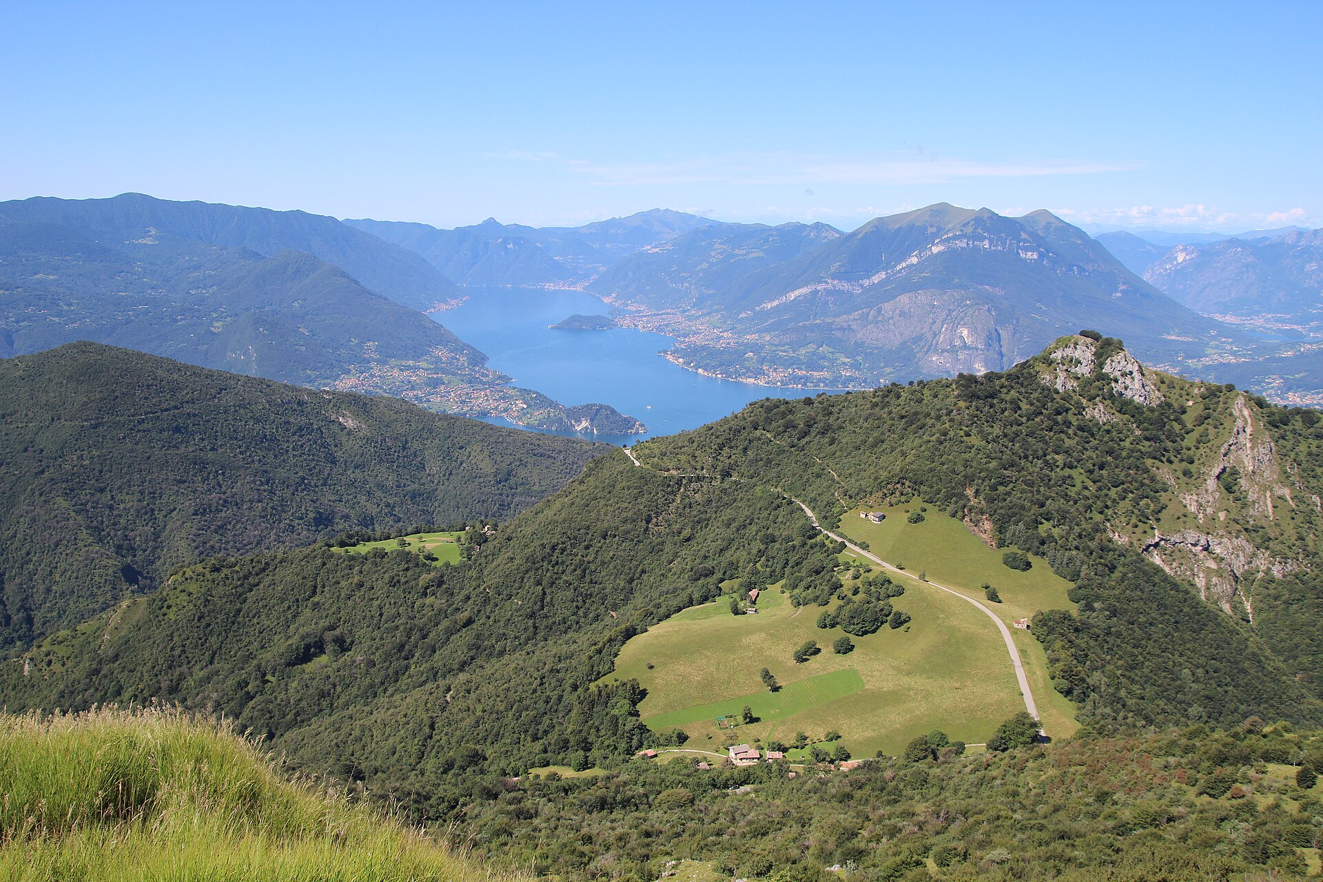
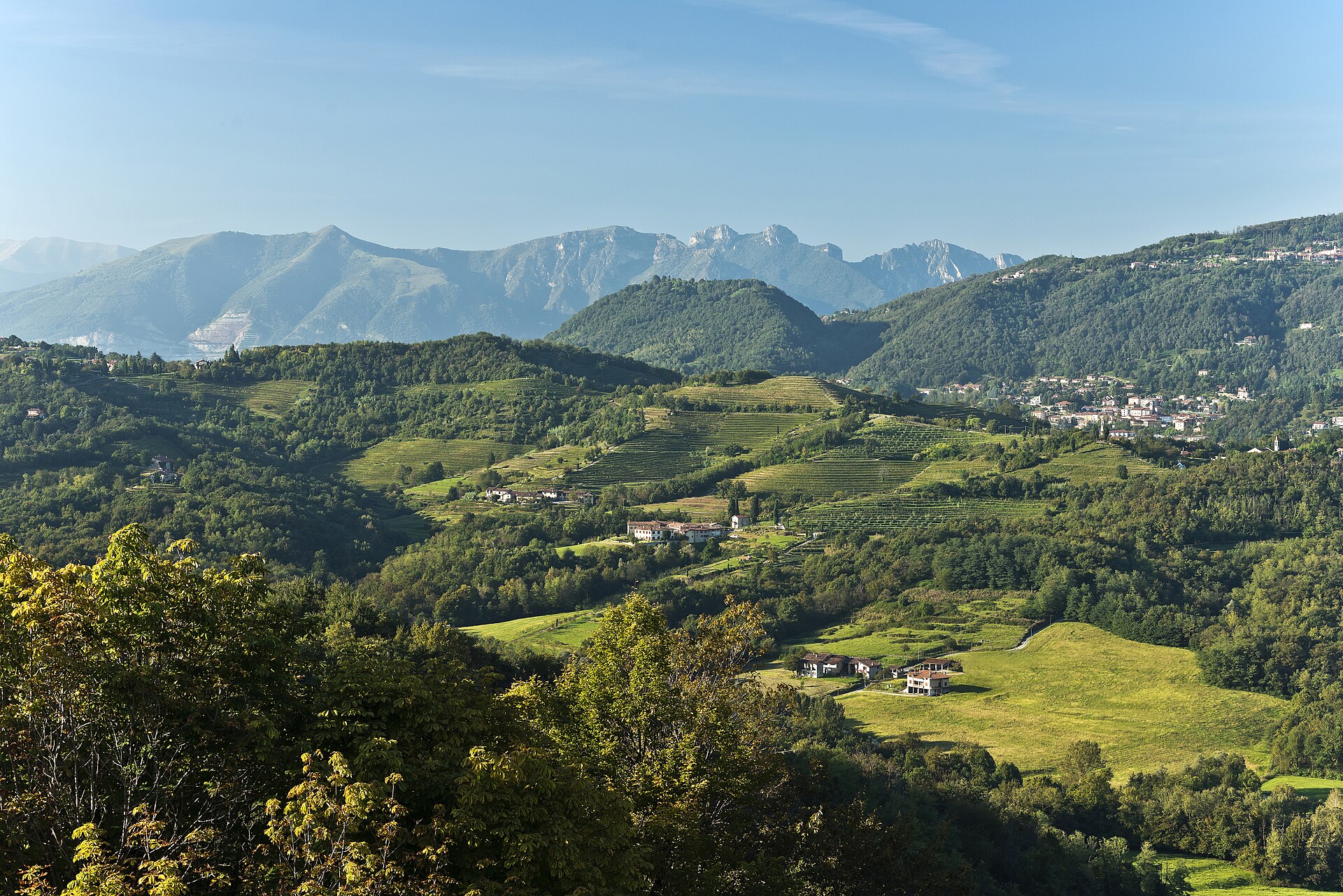
A terrestrial area, with forests and mountains.
What rocks lie beneath Monte Barro Nature Park?
According to the European 1:1 million geological map (EGDI), the bedrock consists mainly of limestones (81% of sampled points). These are mostly sedimentary rocks. The geological units date mainly from the Triassic (75% of sampled points).
What is the highest point of Monte Barro Nature Park?
Monte Barro, at 922 m (OpenStreetMap).
What are the main summits of Monte Barro Nature Park?
Monte Barro (922 m), I Corno (815 m), II Corno (803 m) and Monte San Michele (771 m) (OpenStreetMap).
Which international labels apply to Monte Barro Nature Park?
Natura 2000 network (2 sites).
When is the best time to visit Monte Barro Nature Park?
Best time to visit: from May to October, with average temperatures of 11 to 20 °C and moderate rainfall.
What is there to see in Monte Barro Nature Park?
6 viewpoints, including Piazzale Lecco (OpenStreetMap).
Are there historic monuments in Monte Barro Nature Park?
Yes. According to Wikidata, 8 monuments protected as Italian national cultural heritage stand within the boundary. For example: “Church Santa Maria” in Galbiate, “Fortifications on Mount Barro” in Pescate and “Archeological museum Barro” in Galbiate.
Can you swim in Monte Barro Nature Park?
3 monitored bathing sites lie in or within 1 km of the site; official 2025 classification: 1 sufficient and 2 poor (European Environment Agency). Swimming is only permitted at the sites and times authorised locally.
What is the nearest large city to Monte Barro Nature Park?
Nearest towns of over 50,000 people, as the crow flies: Como (21 km) and Bergamo (26 km). Nearest airport: Bergamo-Il Caravaggio (BGY), about 30 km away.
How can I reach Monte Barro Nature Park by train?
The nearest railway station is Como San Giovanni, about 22 km from the site boundary.
Where can I get visitor information on site?
A.P.T. - Lecco.
Are there waymarked hiking trails in Monte Barro Nature Park?
Yes. Waymarked hiking routes listed in OpenStreetMap: 12, including Sentiero Pedemonte.
Which species can be seen in Monte Barro Nature Park?
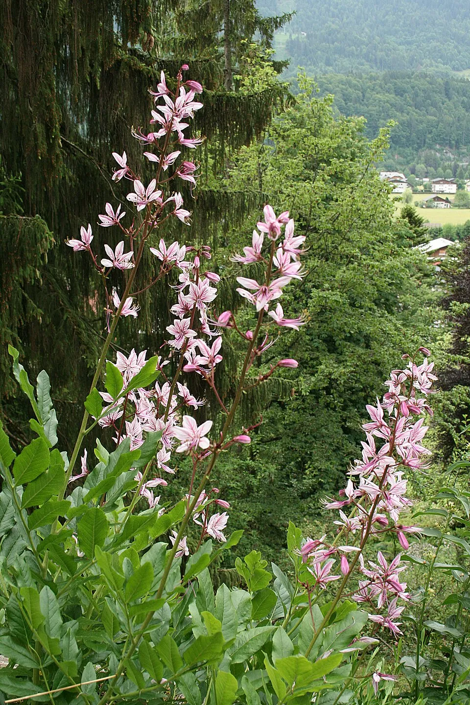
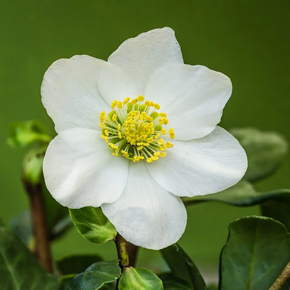
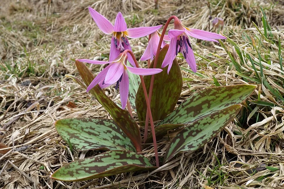
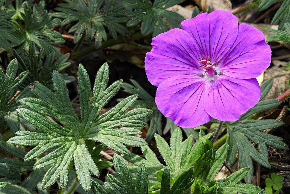
Among the species most often recorded on GBIF are Dictamnus albus (Gasplant), Helleborus niger (Black hellebore), Erythronium dens-canis (Dog's-tooth-violet) and Geranium sanguineum (Bloody Crane's-bill).
What is the official website of Monte Barro Nature Park?
© OpenStreetMap
Download the boundary: GeoJSON · GPX Boundary © OpenStreetMap contributors (ODbL).
Geography
The representative point of the site lies at around 719 m above sea level. Over the 1996–2025 period, the mean annual temperature is about 10.1 °C and total precipitation reaches roughly 1,598 mm per year. The warmest month is usually July, the coolest January, and the wettest August. According to the European 1:1 million geological map (EGDI), the bedrock consists mainly of limestones (81% of sampled points). These are mostly sedimentary rocks. The geological units date mainly from the Triassic (75% of sampled points).
Area
- Area
- 410 ha
- Elevation
- 719 m
- Median elevation
- 570 m
- Mean slope
- 28°
- Coordinates
- 45.8311, 9.3714
Terrain: Mapzen Terrain Tiles (SRTM, USGS)
Bedrock
- Limestones 81 %
- Glacial deposits 19 %
Sedimentary rocks 100 % · Main age: Triassic (75%)
Source: EGDI 1:1M geological map (EuroGeoSurveys and national geological surveys), CC BY 4.0 · 16 sampled points within the site.
Main summits
- Monte Barro922 m
- I Corno815 m
- II Corno803 m
- Monte San Michele771 m
Data © OpenStreetMap contributors (ODbL)
Climate
● Mean temperature (°C) · ▮ Precipitation (mm)
Source: Copernicus ERA5-Land (C3S, doi:10.24381/cds.68d2bb30), monthly averages 1996–2025 interpolated to the representative point, temperatures adjusted for elevation.
Contains modified Copernicus Climate Change Service information 2026. Neither the European Commission nor ECMWF is responsible for any use that may be made of the Copernicus information or data it contains.
Snow cover measured by satellite
J
F
M
A
M
J
J
A
S
O
N
D
average share of the area under snow · snowiest parts · ≈ 15 days a year
Snow cover: MODIS/Terra MOD10CM v61 (Hall & Riggs, 2021, NASA NSIDC DAAC, doi:10.5067/MODIS/MOD10CM.061), imagery from NASA GIBS (ESDIS); 2015–2025 average, grid of about 5 km.
Natural habitats
According to CORINE Land Cover (2018), the site is mainly made up of forests (72%), heath and scrub (23%) and built-up or developed land (5%). Woodland is mostly broadleaved. Elevation ranges from about 310 m to 922 m (highest point: Monte Barro). The terrain is steep: 44% of slopes exceed 30° (mean slope 28°). The 2 Natura 2000 sites overlapping the area list 9 habitats of European interest (2 priority), the most extensive being Illyrian oak-hornbeam forests (Erythronio-Carpinion), semi-natural dry grasslands and scrubland facies on calcareous substrates (Festuco-Brometalia) (* important orchid sites) and Sub-Atlantic and medio-European oak or oak-hornbeam forests of the Carpinion betuli.
Biodiversity
Based on occurrences aggregated by GBIF, several species are regularly recorded within the site. Among the most frequent are Dictamnus albus (Gasplant), Helleborus niger (Black hellebore), Erythronium dens-canis (Dog's-tooth-violet) and Geranium sanguineum (Bloody Crane's-bill). The full list of documented taxa is shown below. The overlapping Natura 2000 sites list 120 species of European interest: 95 birds, 11 mammals, 3 reptiles, 1 amphibian, 6 invertebrates and 4 plants.
Habitats of European interest
From the official forms of the 2 Natura 2000 sites overlapping the area (areas reported for each whole site).
- Illyrian oak-hornbeam forests (Erythronio-Carpinion) 166 ha
- Semi-natural dry grasslands and scrubland facies on calcareous substrates (Festuco-Brometalia) (* important orchid sites) 143 ha
- Sub-Atlantic and medio-European oak or oak-hornbeam forests of the Carpinion betuli 69 ha
- Illyrian Fagus sylvatica forests (Aremonio-Fagion) 30 ha
- Pannonian woods with Quercus pubescens priority 17 ha
- Lowland hay meadows (Alopecurus pratensis, Sanguisorba officinalis) 15 ha
- Western Mediterranean and thermophilous scree 2 ha
- Calcareous rocky slopes with chasmophytic vegetation 0 ha
and 1 more
Species of European interest
Birds · 95
Eurasian Sparrowhawk (Accipiter nisus) resident, Moustached Warbler (Acrocephalus melanopogon) passage, Long-tailed Tit (Aegithalos caudatus) resident, Common Kingfisher (Alcedo atthis) passage, Rock Partridge (Alectoris graeca saxatilis) resident, Tawny Pipit (Anthus campestris) breeding, Tree Pipit (Anthus trivialis) passage, Common Swift (Apus apus) breeding passage, Grey Heron (Ardea cinerea) breeding, Long-eared Owl (Asio otus) resident, Little Owl (Athene noctua) resident, Common Buzzard (Buteo buteo) breeding passage wintering and 83 more
Mammals · 11
Serotine bat (Eptesicus serotinus), Lesser mouse-eared myotis (Myotis blythii), Daubenton's bat (Myotis daubentonii), Greater mouse-eared bat (Myotis myotis), Whiskered bat (Myotis mystacinus), Lesser noctule (Nyctalus leisleri), Kuhl's pipistrelle (Pipistrellus kuhlii), Nathusius's pipistrelle (Pipistrellus nathusii), Common pipistrelle (Pipistrellus pipistrellus), Brown long-eared bat (Plecotus auritus), European free-tailed bat (Tadarida teniotis)
Reptiles · 3
Smooth snake (Coronella austriaca), Common wall lizard (Podarcis muralis), Aesculapian Snake (Zamenis longissimus)
Amphibians · 1
Invertebrates · 6
White-clawed Crayfish (Austropotamobius pallipes), Greater Capricorn Beetle (Cerambyx cerdo), Stag beetle (Lucanus cervus), Large Blue (Maculinea arion), Hermit beetle (Osmoderma eremita), Southern Festoon (Zerynthia polyxena)
Plants · 4
Marsh gladiolus (Gladiolus palustris), Field Macewort (Mannia triandra), Tufted horned rampion (Physoplexis comosa), Glaucous Primrose (Primula glaucescens)
Source: Natura 2000 standard data forms (EEA, CC-BY 4.0). Not exhaustive: sensitive species are not published.
Species to look out for
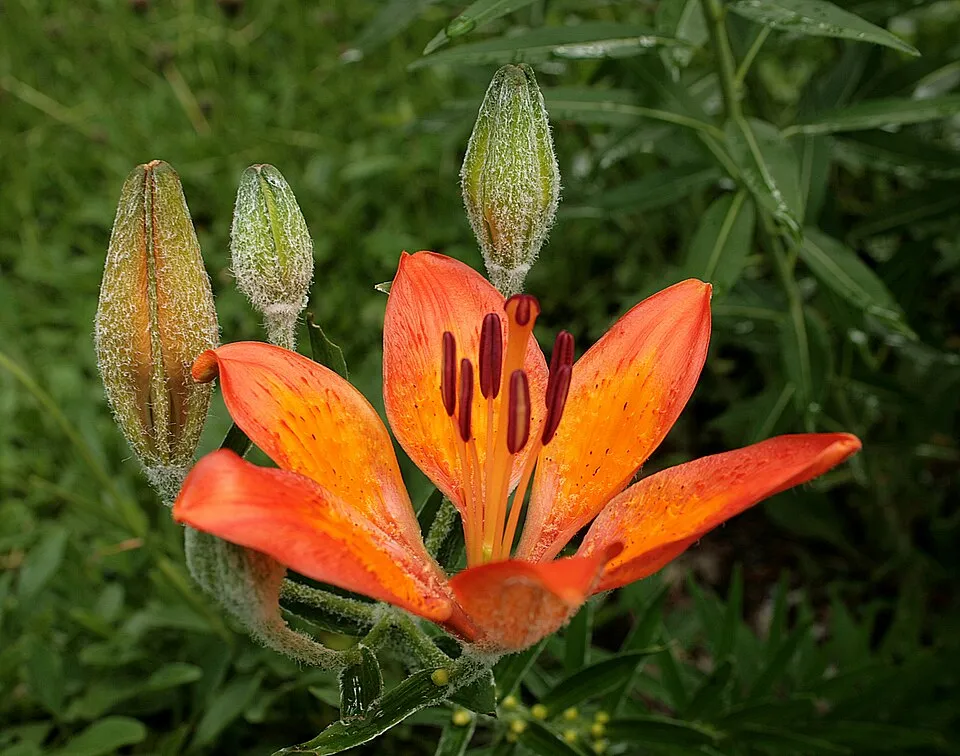
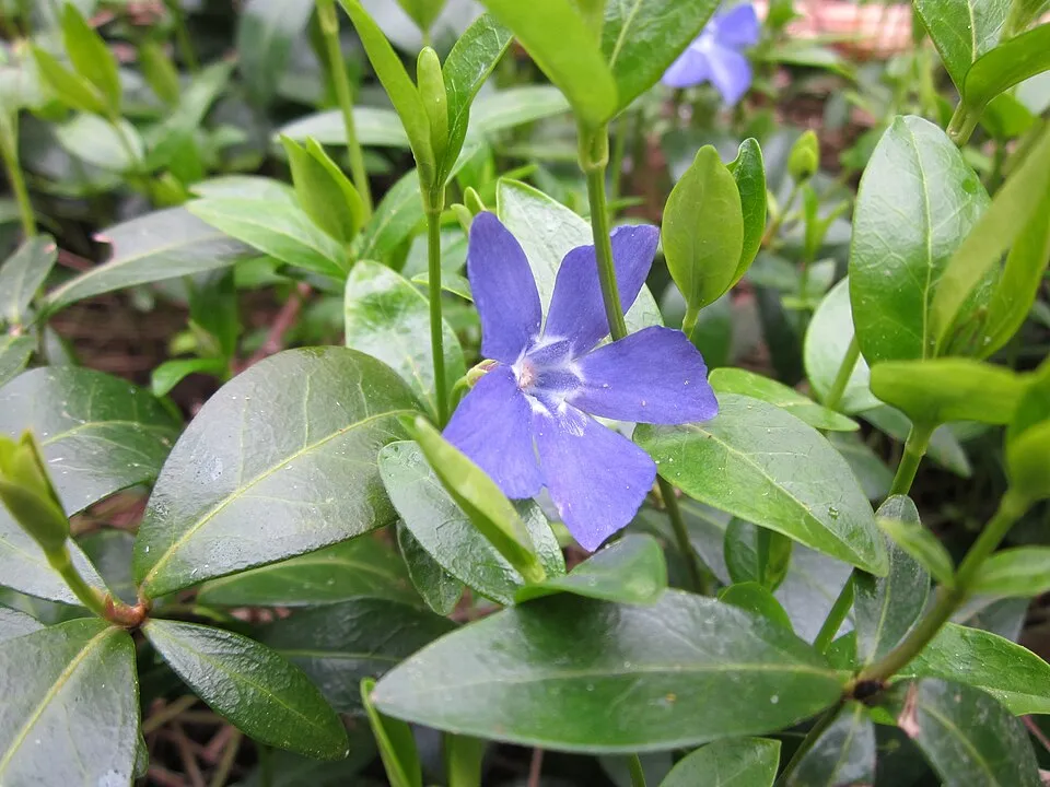
Observed species
Occurrences documented via GBIF; they are neither an exhaustive inventory nor proof of current presence.
- Gasplant · Dictamnus albus · 58
- Black hellebore · Helleborus niger · 30
- Dog's-tooth-violet · Erythronium dens-canis · 17
- Bloody Crane's-bill · Geranium sanguineum · 17
- Orange lily · Lilium bulbiferum · 16
- Lesser periwinkle · Vinca minor · 16
- Sword-leaved helleborine · Cephalanthera longifolia · 15
- Ox-eye · Buphthalmum salicifolium · 15
- Meadow clary · Salvia pratensis · 13
- Scorpion Senna · Hippocrepis emerus · 13
- Bastard Balm · Melittis melissophyllum · 13
- Scented Solomon’s-seal · Polygonatum odoratum · 11
Records: GBIF.org (CC-BY). Names: Wikidata (CC0), GBIF. Photos: Wikimedia Commons.
Conservation challenges
The primary purpose of the site is to preserve its natural habitats and the biodiversity they support. The species recorded (Biodiversity tab) reflect its ecological value. The designations it holds frame its management and the control of land use.
According to CORINE Land Cover, land cover here remained almost unchanged between 1990 and 2018 (less than 0.5% of the area affected). At night, 100% of the area gives off artificial light detectable from space (NASA VIIRS Black Marble composite, 2016). Built-up and developed land (buildings, business areas, roads, quarries) covers 5% of the area (CORINE Land Cover). According to the Natura 2000 forms, of 9 assessed habitats of European interest, 1 is in average or reduced condition and the rest in good condition. Since 2000, 5 invasive alien species have been recorded within the site (GBIF observations), one of them listed as of Union concern under EU Regulation 1143/2014. Among them: Ailanthus altissima (Tree-of-heaven), Phytolacca americana (American pokeweed) and Robinia pseudoacacia (Black locust).
Pressure indicators
Tree cover lost
2 ha
2001–2023 · < 1% of the area
20012023
Fires since 2016
0
No large fire mapped (fires over about 30 ha)
Light at night
100%
of the area gives off artificial light visible from space
DarkLit
Built-up land
5%
buildings, business areas, roads, quarries
Land cover change
< 0.5%
of the area changed, 1990–2018 · CORINE
Invasive alien species
5
incl. 1 of EU concern · since 2000
 Tree-of-heaven
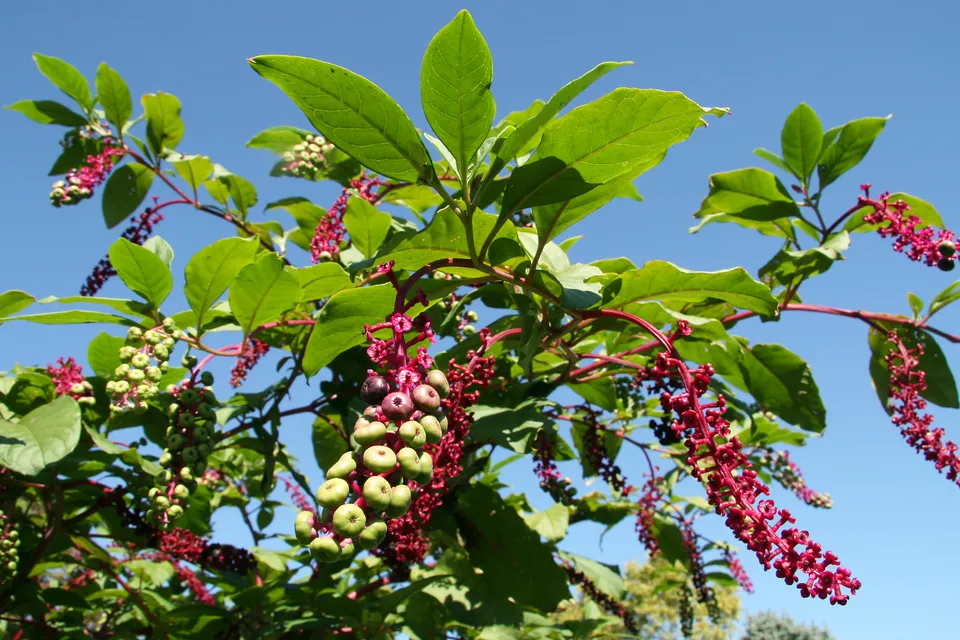 American pokeweed
 Black locust
 Chinese Mugwort
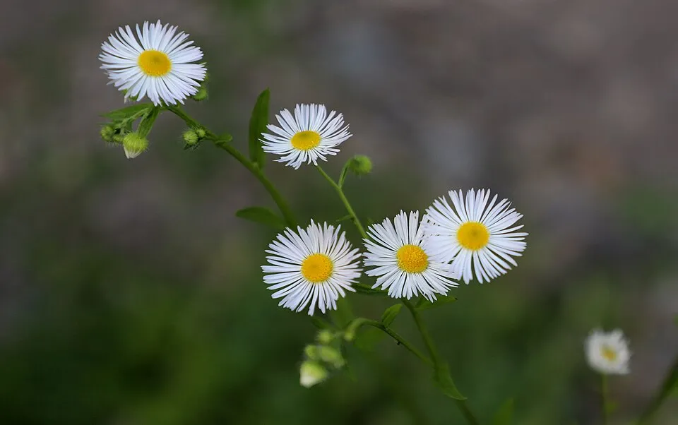 Eastern daisy fleabane
Photos: Tree-of-heaven © Darkone · CC BY-SA 2.5; American pokeweed © Huw Williams (Huwmanbeing) · Public domain; Black locust © This Photo was taken by Wolfgang Moroder. Feel free to use my photos, but please mention me as the author and send me a message. This image is not in the public domain. Please respect the copyright protection. It may only be used according… · CC BY-SA 3.0; Chinese Mugwort © Oceancetaceen - Alice Chodura · CC BY-SA 3.0; Eastern daisy fleabane © W. Bulach · CC BY-SA 4.0
Sources: Global Forest Change (Hansen et al., University of Maryland, via Global Forest Watch, CC-BY 4.0); EFFIS, European Commission / Copernicus; NASA Black Marble 2016 (public domain); CORINE Land Cover 2018 (Copernicus) or MODIS.
CORINE Land Cover Change 1990–2018: generated using European Union's Copernicus Land Monitoring Service information (EEA), aggregated by Parkavela; DOI 10.2909/f30f1000-7cf8-43bb-872c-5eb093911b24.
Invasive alien species: Global Register of Introduced and Invasive Species (ISSG, CC BY 4.0); Union list, Regulation (EU) 1143/2014 (INBO, CC0); GBIF.org records (CC0 / CC BY 4.0), at least 2 per species.
Practical information
Cities and airport
- Como
21 km as the crow flies - Bergamo
26 km as the crow flies - Airport: Bergamo-Il Caravaggio (BGY)
30 km as the crow flies
Visitor information
- A.P.T. - Lecco
1 km from the site boundary
Hiking
12 waymarked routes listed, including:
Sentiero Pedemonte
Data © OpenStreetMap contributors (ODbL) · Wikidata (CC0)
Waymarked hiking routes
Sentiero Pedemonte - Tappa 4
4.2 km within the site ↗ 199 m↘ 337 m 427–702 m
up to T2 · mountain hiking
SENTIERONE Sentierone
3.1 km within the site ↗ 109 m↘ 320 m 430–712 m
up to T2 · mountain hiking
301 Sentiero di mezzo
3.3 km within the site ↗ 149 m↘ 287 m 431–669 m
up to T2 · mountain hiking
311 Unnamed route
1.1 km within the site ↗ 87 m↘ 9 m 525–612 m
up to T1 · hiking
306 Unnamed route
2.5 km within the site ↗ 199 m↘ 23 m 430–617 m
up to T2 · mountain hiking
302 Unnamed route
1.3 km within the site ↗ 216 m↘ 0 m 643–862 m
up to T3 · demanding mountain hiking
Tracks © OpenStreetMap contributors (ODbL), clipped to the boundary; elevation gain and profiles computed on the longest section from Mapzen Terrain Tiles (≈ 30 m), indicative only. Indicative difficulty (SAC scale, OpenStreetMap, via Waymarked Trails): check with the park.
Bathing
3 monitored bathing sites in or within 1 km of the site · 2025 classification
Sufficient · 1
Poor · 2
- Spiaggetta Malgrate · lake · Sufficient
- Canottieri · lake · Poor
- La Punta · lake · Poor
Source: European Environment Agency, official bathing water classification (Directive 2006/7/EC, CC-BY 4.0). Swimming is only permitted at the sites and times authorised locally.
Access and visiting
The nearest railway station is Como San Giovanni, about 22 km from the site boundary. Nearest towns of over 50,000 people, as the crow flies: Como (21 km) and Bergamo (26 km). Nearest airport: Bergamo-Il Caravaggio (BGY), about 30 km away. About 760,000 people live within 20 km of the site boundary, 230,000 of them within 10 km (GHSL estimate, 2020). This population has grown by about 16% since 2000. Visitor information on site: A.P.T. - Lecco. Waymarked hiking routes listed in OpenStreetMap: 12, including Sentiero Pedemonte. To see: 6 viewpoints, including Piazzale Lecco. To plan a visit (access, opening periods, visitor rules), it is best to consult the official information from the managing body and the official website listed in this page's sources.
Source: OpenStreetMap (ODbL), Wikidata (CC0), October 2026.
Built heritage
According to Wikidata, 8 monuments protected as Italian national cultural heritage stand within the boundary. Among them are 2 castles and fortifications, 1 religious building and 1 house or civic building. Examples include “Church Santa Maria” in Galbiate, “Fortifications on Mount Barro” in Pescate and “Archeological museum Barro” in Galbiate.
2 castles and fortifications1 religious building1 house or civic building1 prehistoric or archaeological site
-
Church Santa Maria
Galbiate -
Fortifications on Mount Barro
Pescate -
Archeological museum Barro
Galbiate -
Museo etnografico dell'Alta Brianza
Galbiate · 20th c. -
Camporeso
Galbiate -
Piani di Barra
Galbiate -
Cascina Novella
Galbiate -
Antiquarium
Galbiate
Source: Wikidata (CC0), monuments in each country’s official heritage protection registers, at national or regional level. Each item links to its Wikidata entry.
When to visit
Best time to visit: from May to October, with average temperatures of 11 to 20 °C and moderate rainfall. Snow only makes brief appearances in winter (about 15 days a year on average, MODIS satellites 2015–2025). Day length ranges from about 8 h 41 min in December to 15 h 42 min in June. Wildlife records published on GBIF peak for birds (December and January), plants (May) and butterflies and moths (October). These peaks also reflect when observers are most active.
Source: Copernicus ERA5-Land (C3S), monthly averages 1996–2025 at the representative point, temperatures adjusted for elevation.
Contains modified Copernicus Climate Change Service information 2026. Neither the European Commission nor ECMWF is responsible for any use that may be made of the Copernicus information or data it contains.
Wildlife records calendar
JFMAMJJASOND
Birds
Plants
Butterflies & moths
Monthly records published on GBIF (CC-BY), relative to the busiest month; also reflects observer activity.
Gallery
© Croberto68 · CC BY-SA 3.0
© Pierangelo66 · CC BY-SA 4.0
© Kaitu · CC0-1.0
© Igbowoman · CC BY-SA 4.0
© Igbowoman · CC BY-SA 4.0
© Pierangelo66 · CC BY-SA 4.0
Sources and licences
- Wikidata: Q3895640
- Official website: http://www.parcobarro.lombardia.it/
- Wikipedia: en.wikipedia.org/wiki/Monte_Barro_Natural_Park
- WDPA: 390491
References
- cds.climate.copernicus.eu: climate · CC-BY-4.0
- registry.opendata.aws: elevation of the reference point, detailed relief · PD
- land.copernicus.eu: land cover, land cover change, sea share · COPERNICUS
- doi.org: population around the site · CC-BY-4.0
- wikidata.org: official area, establishment date, protected heritage, official name, nearby cities and airport, access and peaks, lake depths, places to see, official website · CC0-1.0
- eea.europa.eu: bathing water quality, ecological status of waters · CC-BY-4.0
- en.eurovelo.com: EuroVelo cycle routes · ODbL-1.0
- cycling.waymarkedtrails.org: cycle routes · ODbL-1.0
- opentopodata.org: elevations · PD
- forest-fire.emergency.copernicus.eu: wildfires · COPERNICUS
- globalforestwatch.org: tree cover loss · CC-BY-4.0
- gbif.org: seasonality of sightings, invasive alien species, observed species · CC-BY-4.0
- europe-geology.eu: geology · CC-BY-4.0
- hydrosheds.org: lakes · CC-BY-4.0
- natura2000.eea.europa.eu: Natura 2000 habitats and species · CC-BY-4.0
- earthobservatory.nasa.gov: night light · PD
- openstreetmap.org: access and peaks, places to see · ODbL-1.0
- hiking.waymarkedtrails.org: route difficulty · ODbL-1.0
- nsidc.org: snow cover · PD
- wikidata.org: Wikipedia article · CC-BY-SA-4.0
Data © OpenStreetMap contributors (ODbL), Wikidata (CC0) and the sources cited.