
Plant
Marsh gladiolus: where to see it
Gladiolus palustris
This plant species is recorded in 28 protected areas of the atlas, and is listed on the official Natura 2000 form of each of them. Within the atlas countries, it is mostly observed in France, Germany and Switzerland (6 countries in all). Most records (8 in 10) lie between 550 and 950 m above sea level. Records peak in July. Plant (tuberous geophyte), native to Europe. It is a species of Community interest under the Habitats Directive (Annexes II and IV). In the EU its conservation status is assessed as unfavourable-inadequate (2013–2018 reporting).
Best time to see it: July
Records published on GBIF by month (CC0 and CC BY 4.0 licences only), in the atlas countries, all years combined; they also reflect observer activity.
Status and protection
Habitats Directive II · IV
The species is listed in Annexes II and IV of the Habitats Directive.
In the EU its conservation status is assessed as unfavourable-inadequate in the Continental, Pannonian, Alpine and Mediterranean regions (2013–2018 reporting).
Distribution
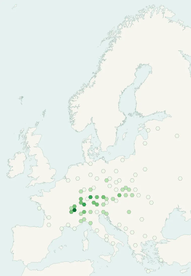
Records published on GBIF (CC0 and CC BY 4.0 licences): the darker the shade, the more records there are; they also reflect observation effort.
Atlas countries where it is recorded
From Wikipedia
Gladiolus palustris, common name marsh gladiolus or sword lily, is a herbaceous perennial plant belonging to the genus Gladiolus of the family Iridaceae. The genus name Gladiolus is the Latin diminutive of gladius, a sword, while the specific Latin name palustris, meaning growing in marshes, refers to the alleged environment of this species.
Source: Wikipedia, article “Gladiolus palustris” (version of October 1, 2025) · history and authors · licence CC BY-SA 4.0
Protected areas where it is recorded

Natura 2000
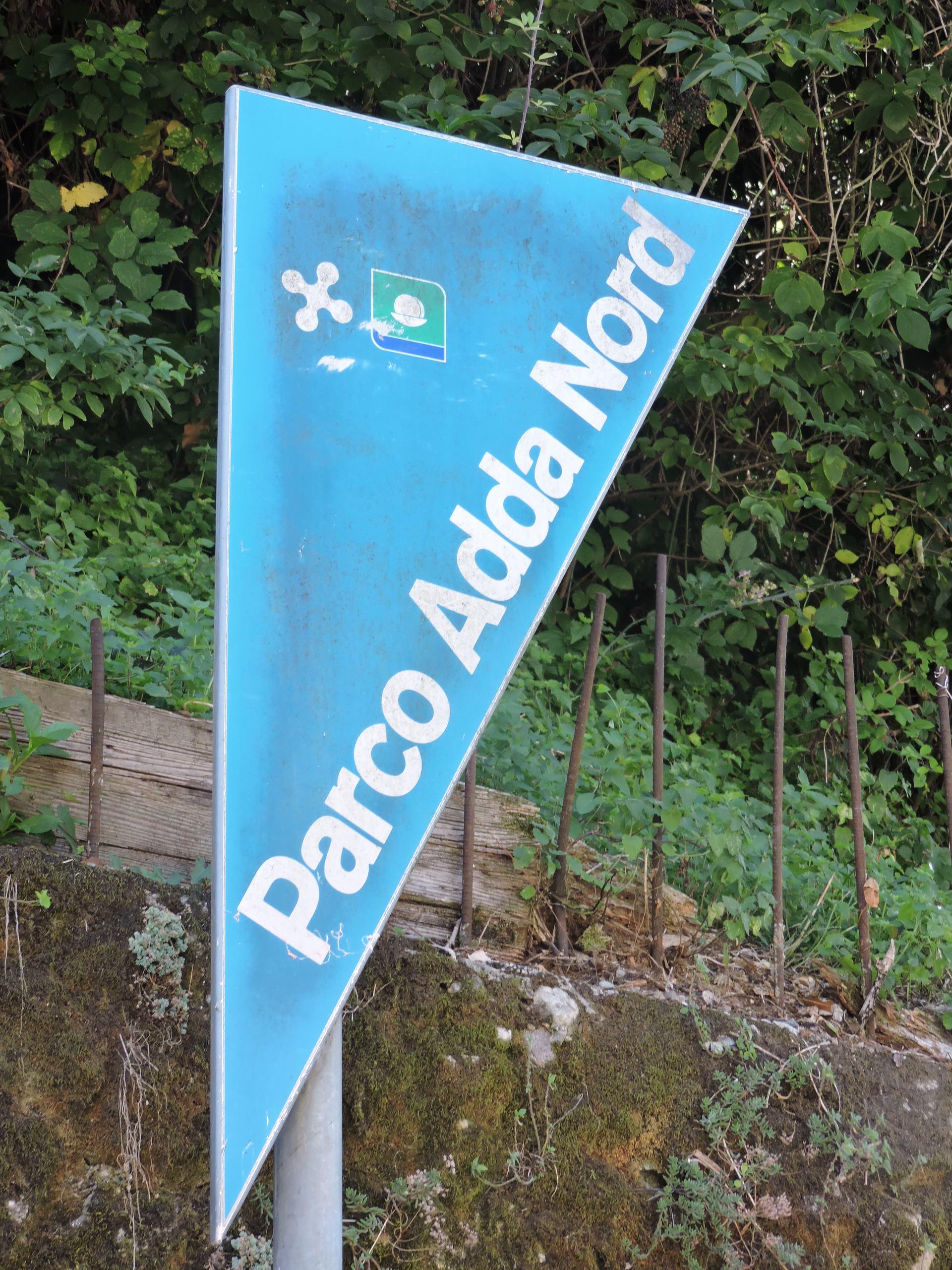
Natura 2000

Natura 2000
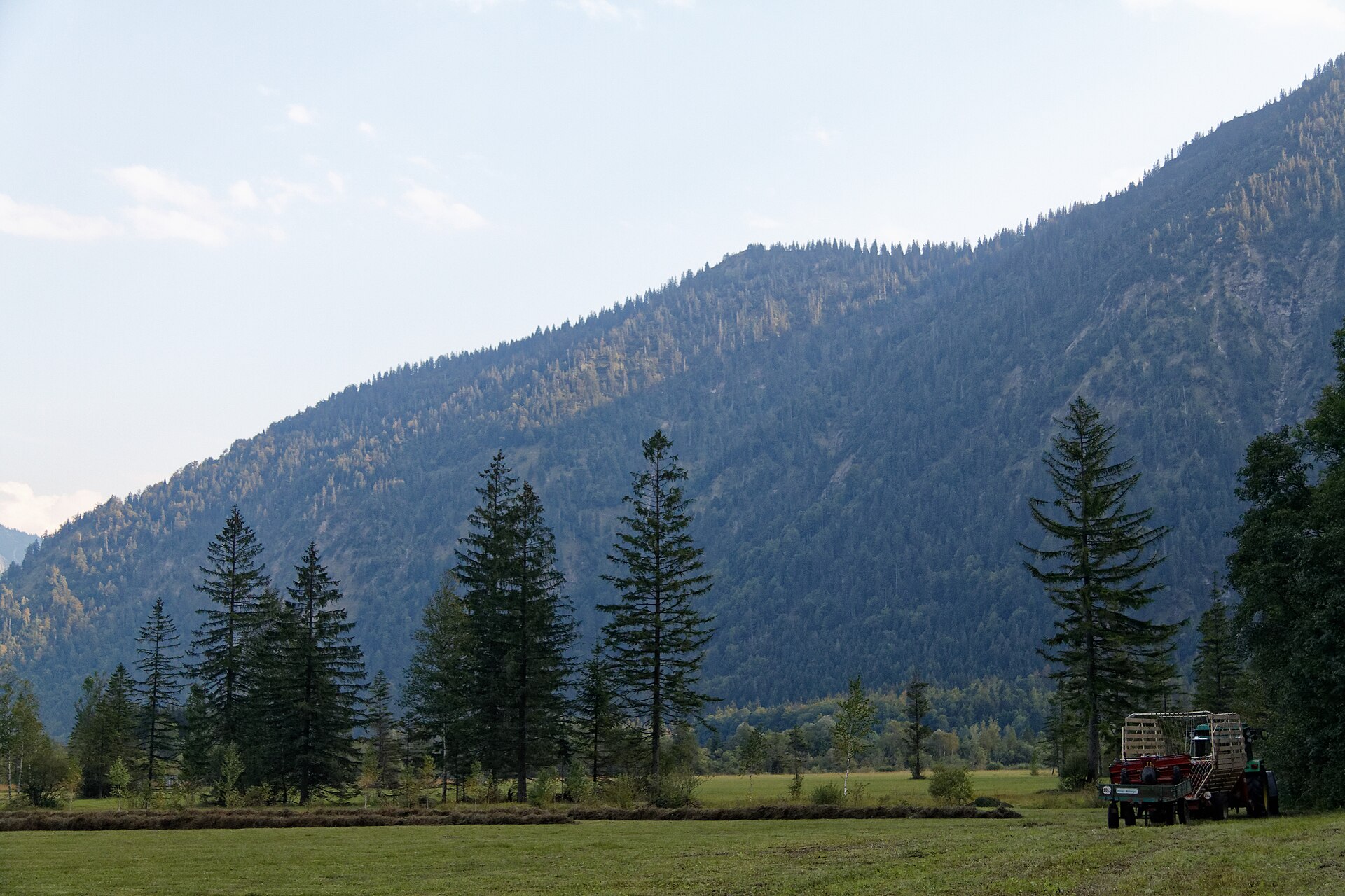
Natura 2000
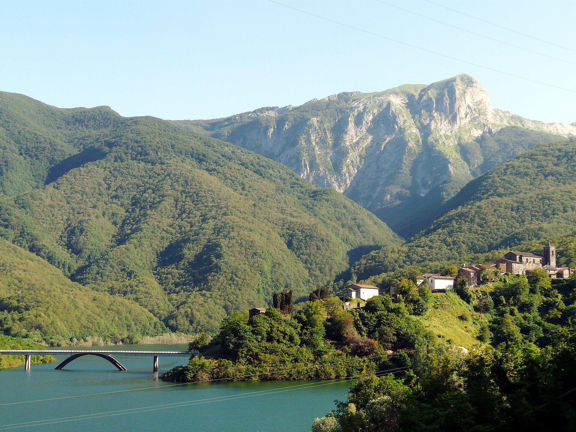
Natura 2000
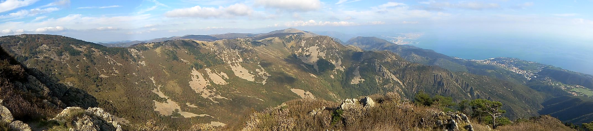
Natura 2000

Natura 2000

Natura 2000
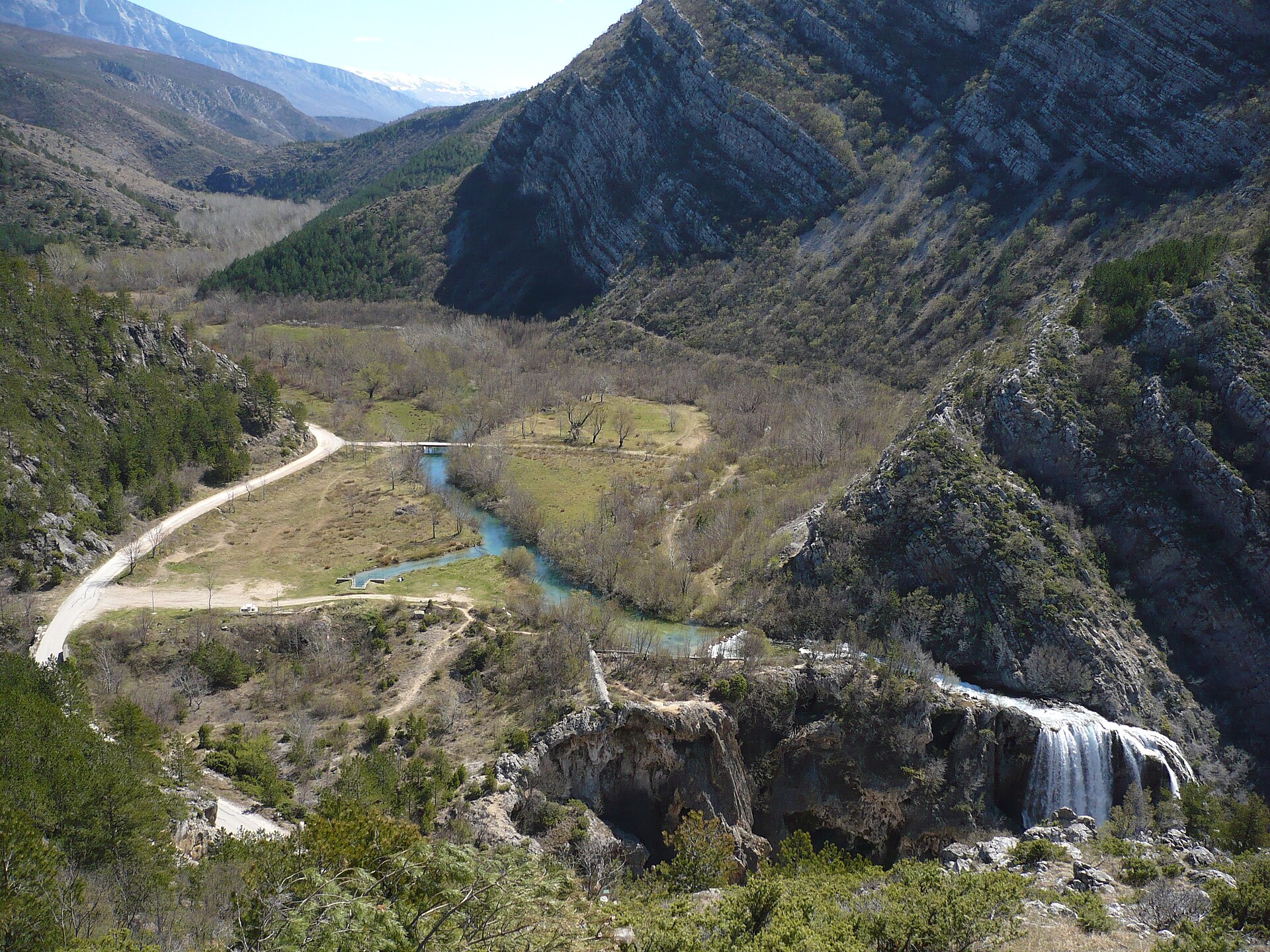
Natura 2000

Natura 2000
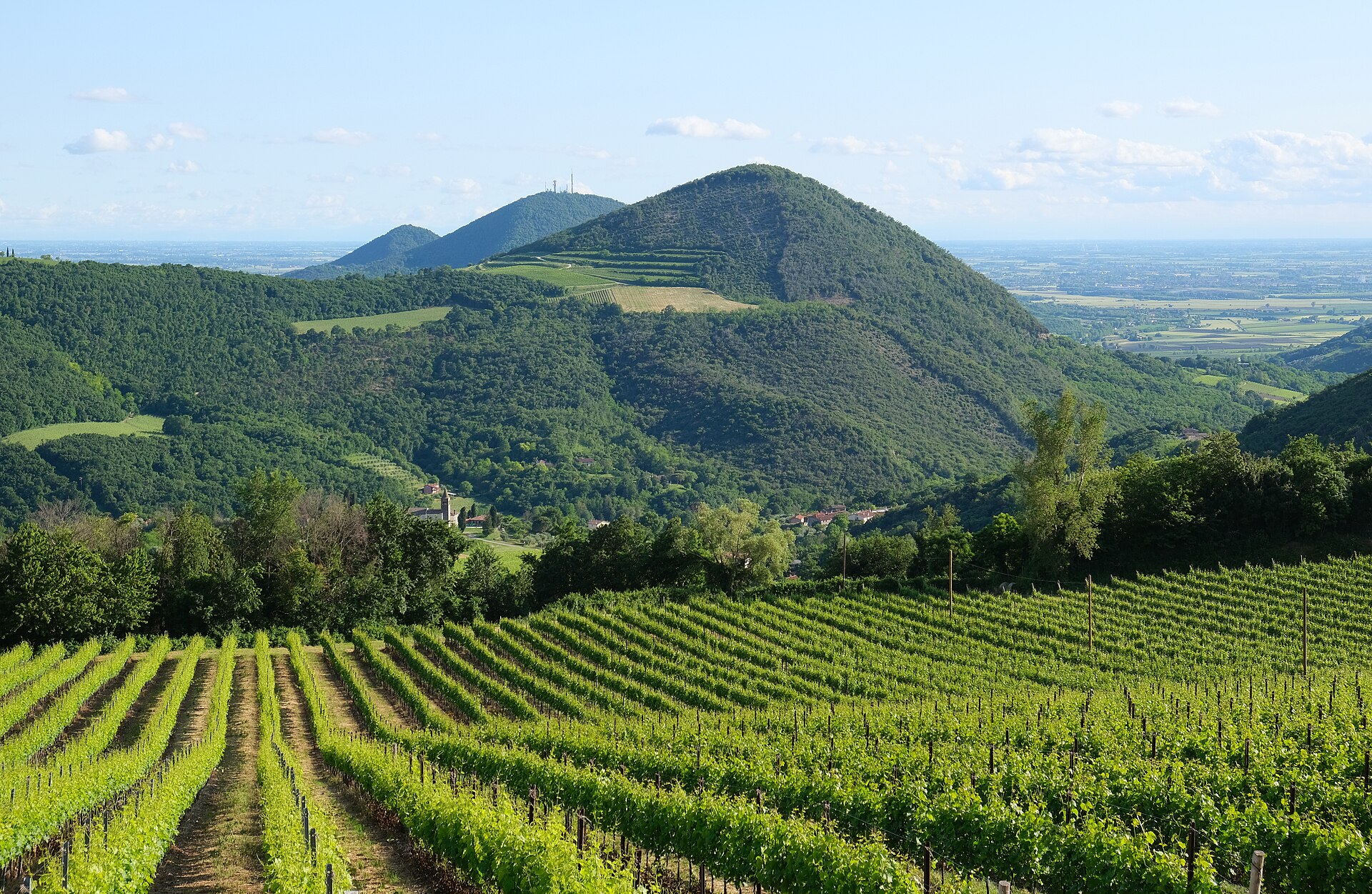
Natura 2000

Natura 2000
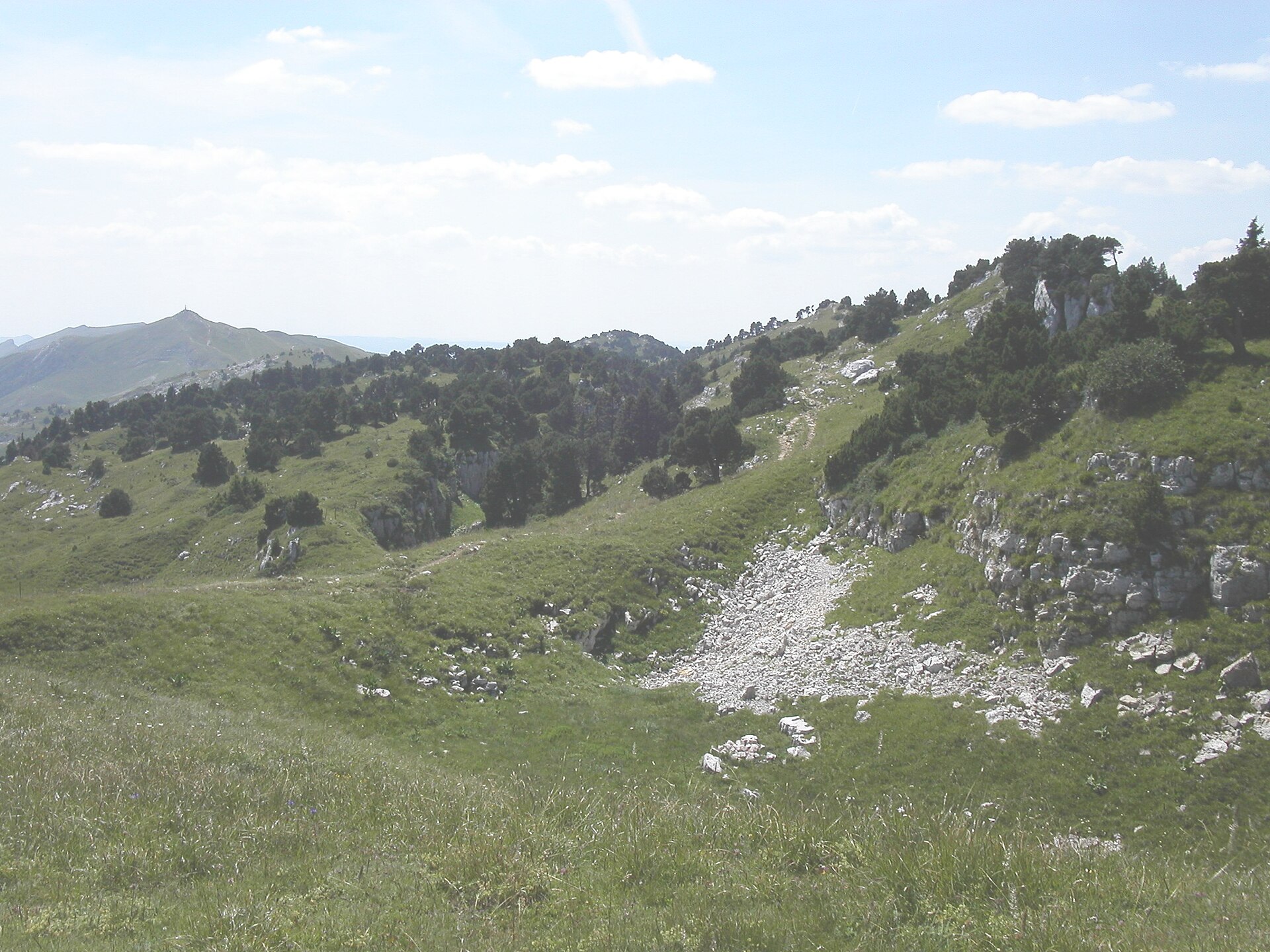
Natura 2000
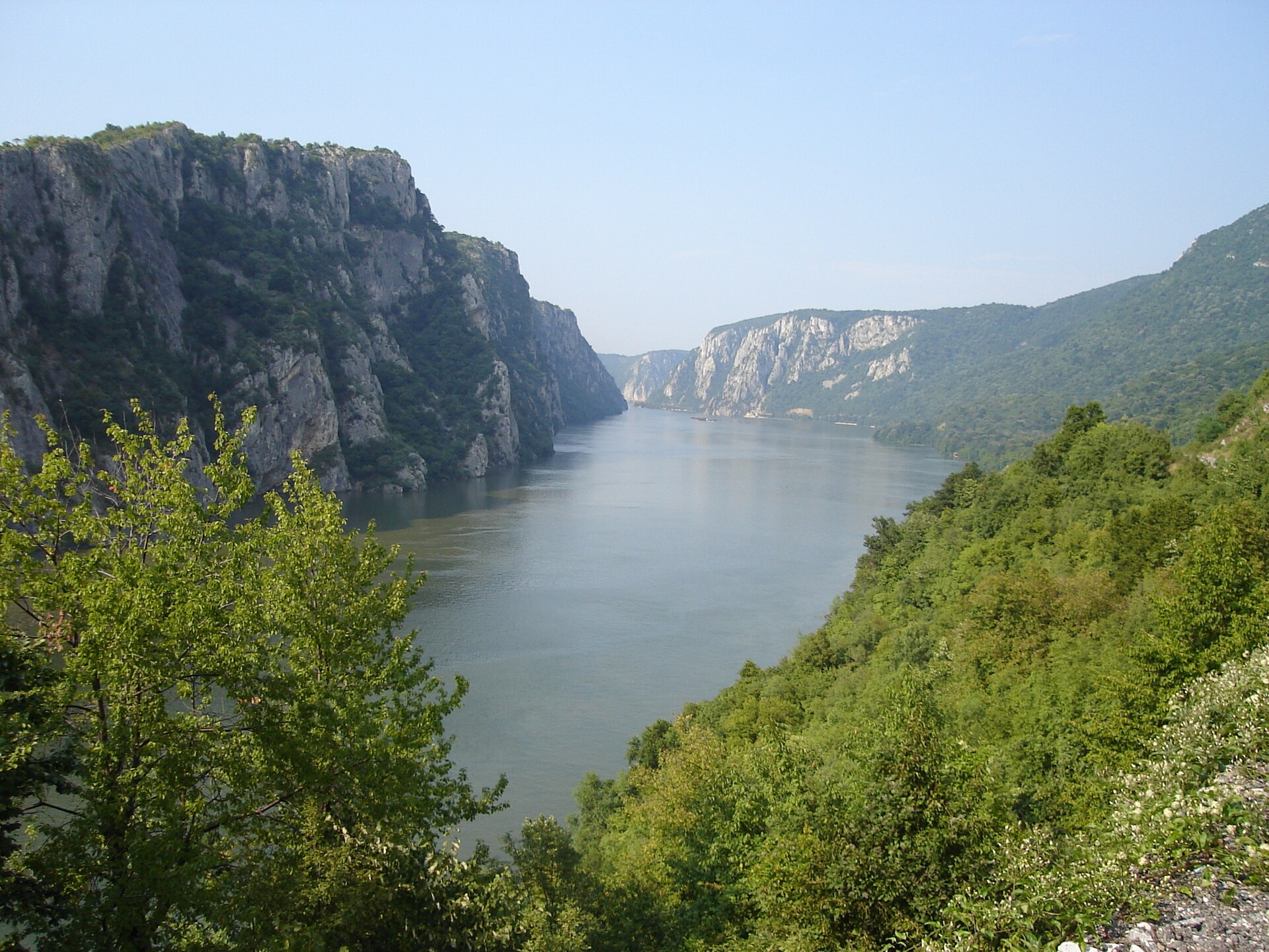
Natura 2000
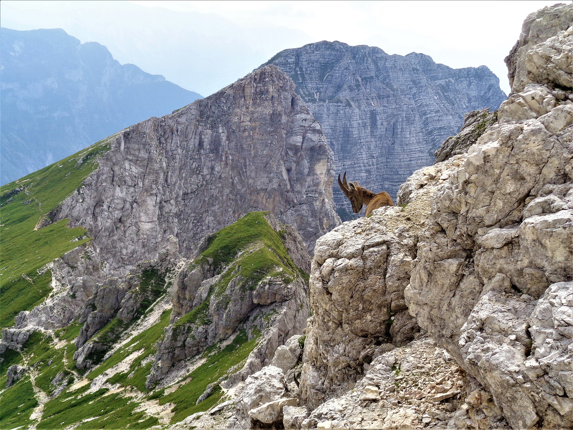
Natura 2000
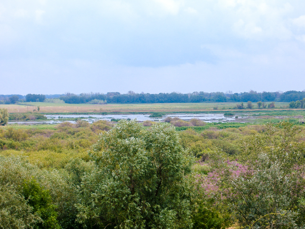
Natura 2000

Natura 2000
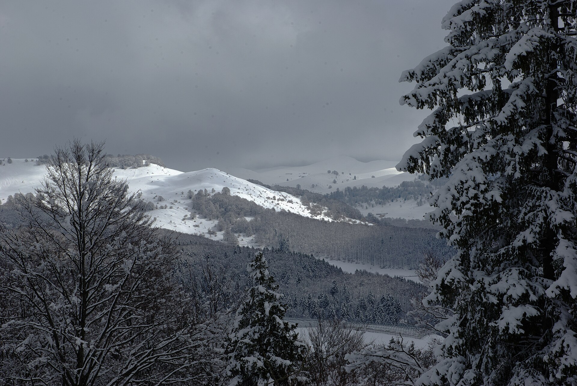
Natura 2000

Natura 2000

Natura 2000
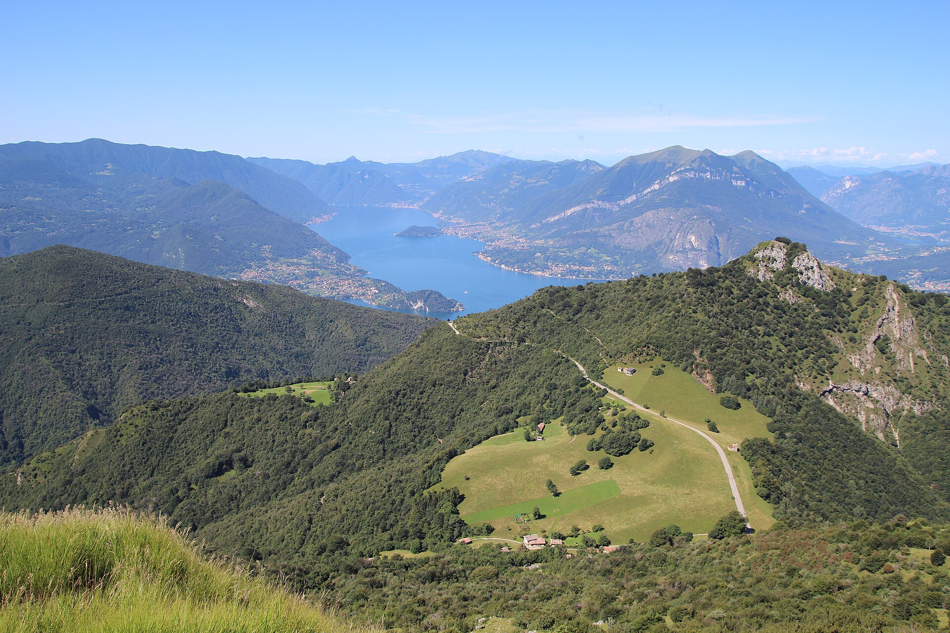
Natura 2000

Natura 2000

Natura 2000

Natura 2000
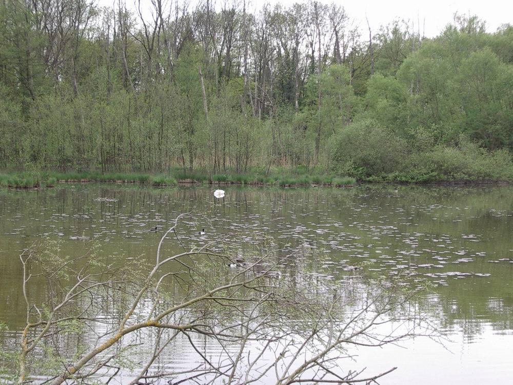
Natura 2000

Natura 2000

Natura 2000
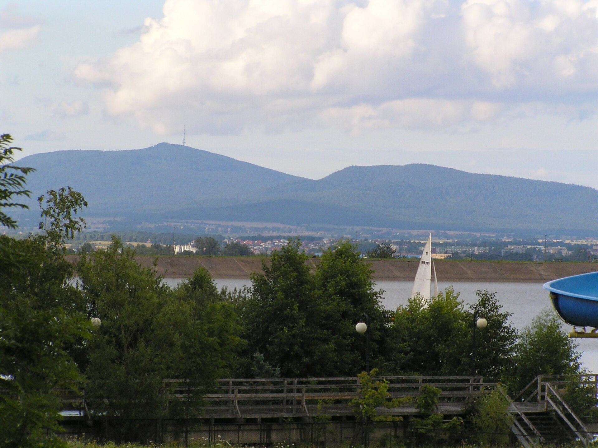
Natura 2000
Other species to discover
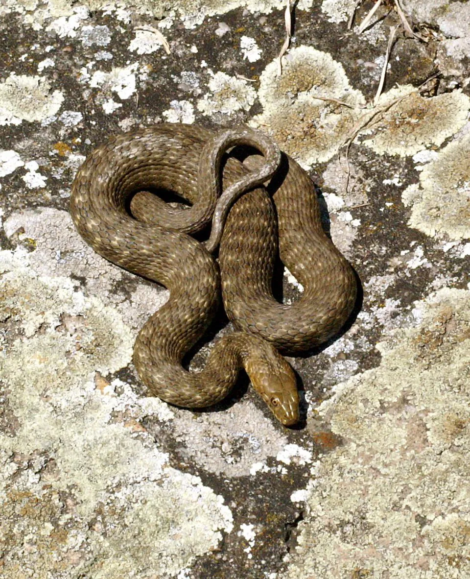 Dice snake
Natrix tessellata 13 places in common
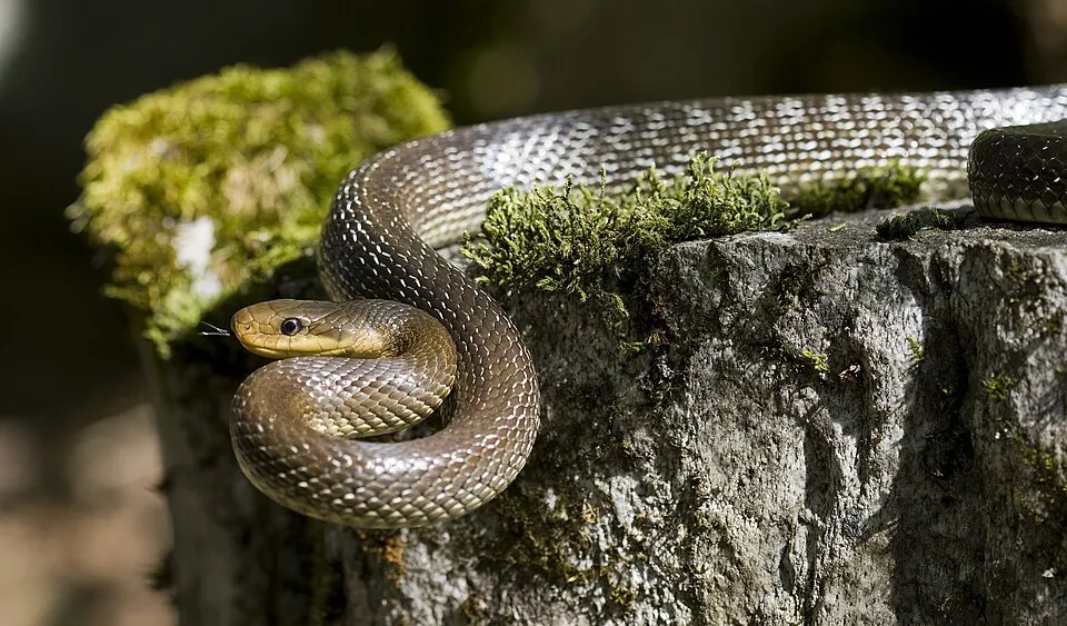 Aesculapian Snake
Zamenis longissimus 15 places in common
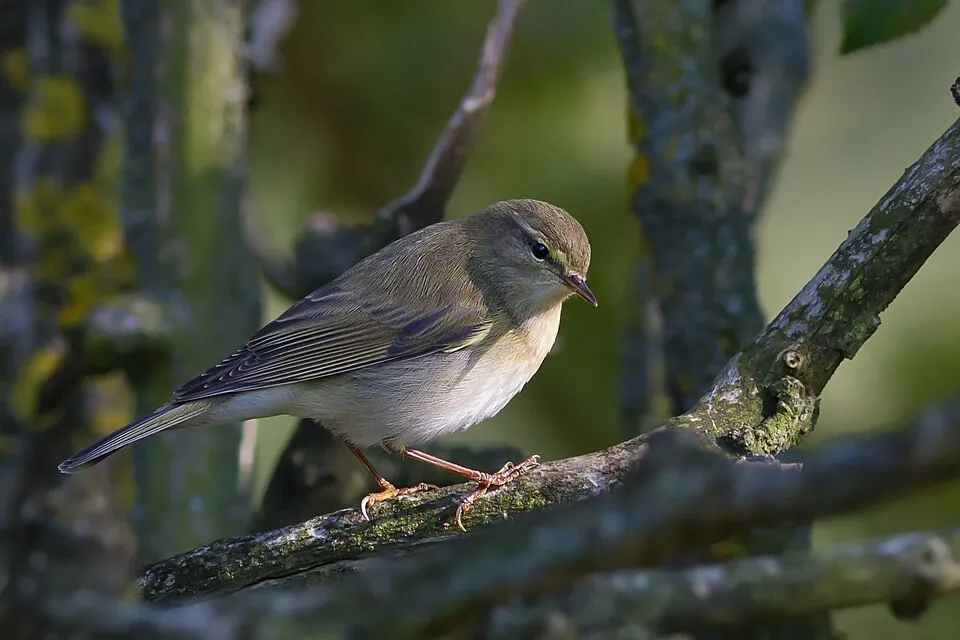 Western Bonelli's Warbler
Phylloscopus bonelli 11 places in common
 Italian crested newt
Triturus carnifex 13 places in common
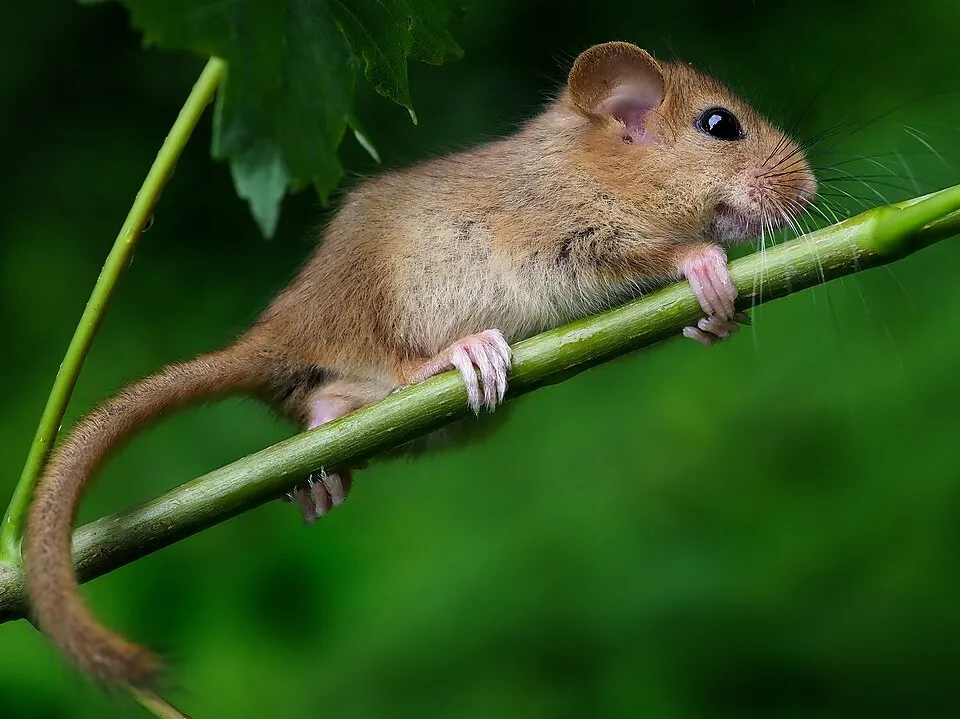 Hazel dormouse
Muscardinus avellanarius 14 places in common
Sources and credits
- Presence: most-recorded species of each place on GBIF and species of Community interest in the Natura 2000 forms (EEA, CC-BY 4.0); absence from the list does not mean the species is absent.
- Common names: Wikidata (CC0) and GBIF.
- Photos and sounds: Wikimedia Commons, author and licence given for each file.
- Classification: GBIF Backbone Taxonomy (GBIF Secretariat), CC BY 4.0, doi:10.15468/39omei.
- Countries, elevations, months and maps: GBIF.org, CC0 or CC BY 4.0 occurrences only, accessed October 22, 2026, GBIF.org.
- Base map: Natural Earth (public domain).
- Excerpt: Wikipedia, CC BY-SA 4.0 (full credit below the excerpt).
- Annexes: Directive 92/43/EEC (consolidated version), © European Union, EUR-Lex.
- Conservation status: EEA / DG ENV, Article 17 Habitats Directive reporting (2013–2018), CC BY 4.0.
- Native range and life form: World Checklist of Vascular Plants, Royal Botanic Gardens, Kew, CC BY 4.0 (no endorsement by Kew).