Italy · Terrestrial
Adamello Regional Park
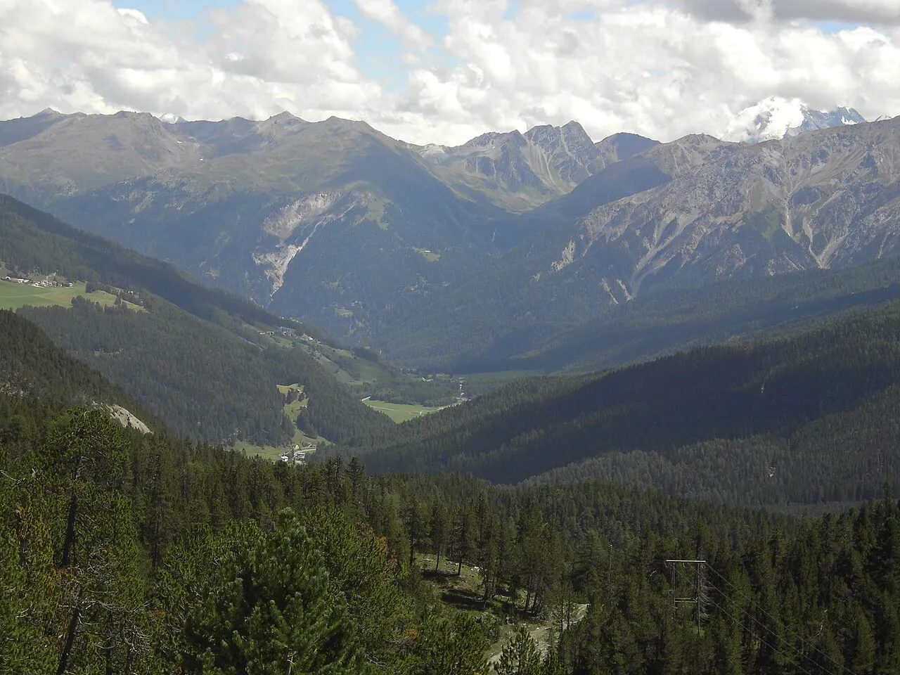
Regional nature park of 50,935 hectares in Italy, established in 1983.
Overview
Regional nature park of 50,935 hectares in Italy, established in 1983.
Adamello Regional Park is a regional nature park in Italy (Europe). It is a predominantly terrestrial area. Established in 1983, it covers about 50,935 hectares.
Protections and designations
Natura 2000 · habitats (SAC) · 15 sites
- Belvedere - Tri Plane IT2070023
- Cresta Monte Colombé e Cima Barbignaga IT2070008
- Ghiacciaio dell'Adamello IT2070013
- Lago di Pile IT2070014
- Monte Marser - Corni di Bos IT2070004
- Monte Piccolo - Monte Colmo IT2070002
- and 9 more
Natura 2000 · birds (SPA)
- Parco Naturale Adamello IT2070401
Protected as a regional nature park. International labels and designations: Natura 2000 network (16 sites). Key dates: established in 1983 and first Natura 2000 site under the Birds Directive in 2004.
In our collections
Timeline
-
1983
Established
-
2004
First Natura 2000 site under the Birds Directive
Sources: Wikidata (CC0) for establishment and international labels; EEA Natura 2000 database (CC-BY 4.0) for site designation dates.
Frequently asked questions
Where is Adamello Regional Park?
In Italy (Europe). Representative point: 46.0900° N, 10.4200° E.
How large is Adamello Regional Park?
About 50,935 hectares (509 km²). It is the 8th largest of the 128 regional parks in Italy covered by Parkavela.
When was Adamello Regional Park established?
In 1983.
What habitats and landscapes does Adamello Regional Park include?
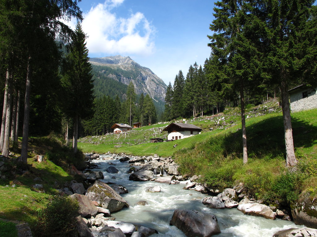
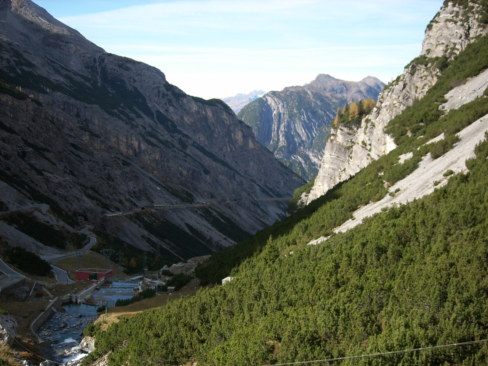
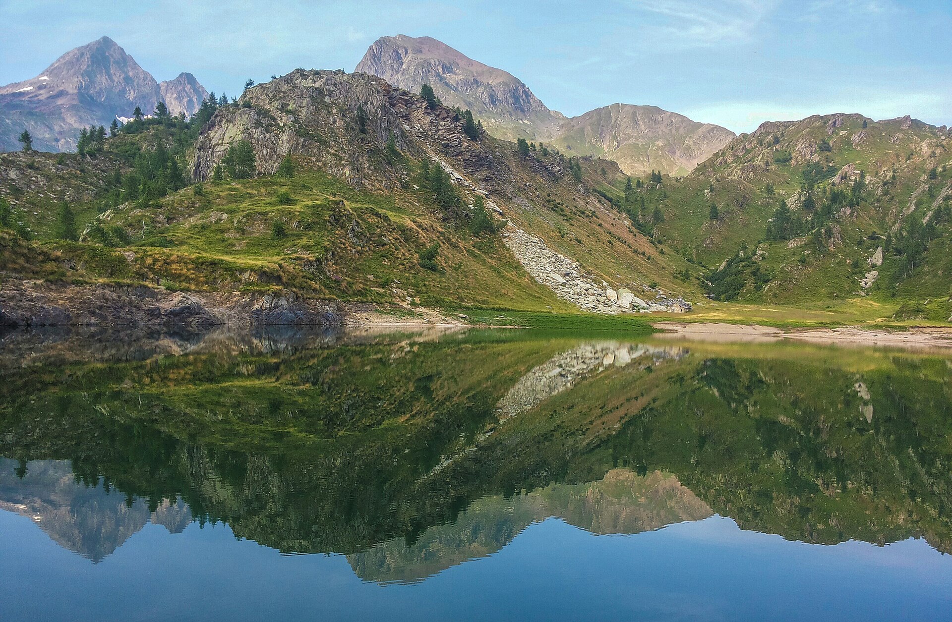
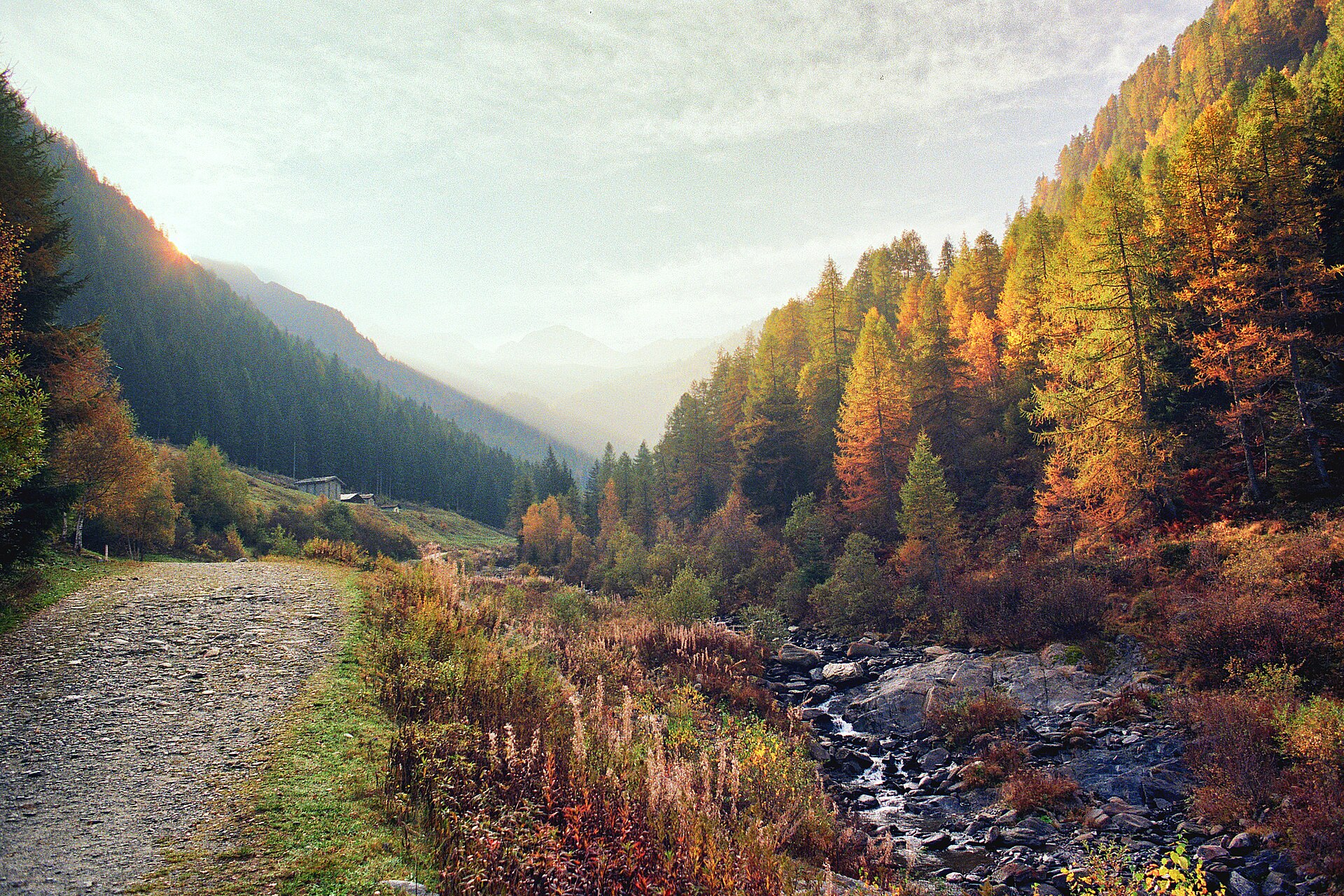
A terrestrial area, with forests and mountains.
What rocks lie beneath Adamello Regional Park?
According to the European 1:1 million geological map (EGDI), the bedrock consists mainly of granites (38% of sampled points), phyllites and slates (31%) and dolomites (25%). The geological units date mainly from the Cretaceous (38% of sampled points).
What is the highest point of Adamello Regional Park?
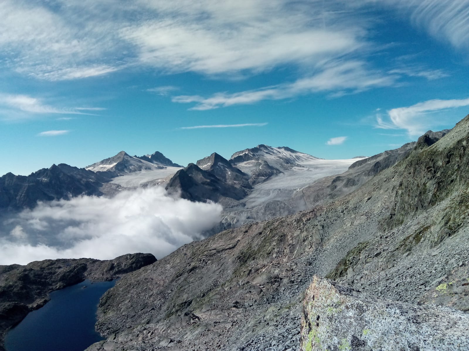
Monte Adamello, at 3,539 m (OpenStreetMap).
What are the main summits of Adamello Regional Park?
Monte Adamello (3,539 m), Dosson di Genova Meridionale (3,439 m), Monte Falcone (3,437 m), Corno Bianco (3,427 m) and La Tripla (3,403 m) (OpenStreetMap).
Which international labels apply to Adamello Regional Park?
Natura 2000 network (16 sites).
When is the best time to visit Adamello Regional Park?
Best time to visit: from July to September, with average temperatures of 12 to 16 °C and moderate rainfall.
Is there snow in Adamello Regional Park?
Yes. According to NASA's MODIS satellites (2015–2025 average), snow covers most of the site from November to April, and until May on higher ground, with about 160 snow-covered days a year on average. Permanent snow remains on the summits even in midsummer.
What is there to see in Adamello Regional Park?
15 viewpoints, 19 waterfalls, 39 lakes and ponds, 2 caves, 16 glaciers and 1 bird hide, including Cascata del Pisgana, Lago Cadino Alto (2,380 m), Ghiacciaio del Venerocolo and Osservatorio faunistico (OpenStreetMap).
Where can I stay in Adamello Regional Park?
46 mountain huts and 2 campsites, including Bivacco Francesco Regosa (2,958 m), Camping Pian della Regina and Bivacco Capanna Mattia (2,600 m) (OpenStreetMap).
Are there historic monuments in Adamello Regional Park?
Yes. According to Wikidata, 6 monuments protected as Italian national cultural heritage stand within the boundary. For example: “Chiesa di San Bernardino da Siena” in Saviore dell'Adamello, “Castello di Cimbergo” in Cimbergo and “War memorial in Cevo” in Cevo.
What is the nearest large city to Adamello Regional Park?
Nearest towns of over 50,000 people, as the crow flies: Brescia (42 km) and Trento (44 km). Nearest airport: Bergamo-Il Caravaggio (BGY), about 57 km away.
How can I reach Adamello Regional Park by train?
The nearest railway station is Tirano RhB, about 14 km from the site boundary.
Where can I get visitor information on site?
Ufficio Informazioni Passo Tonale, Pro Loco Breno and Info Point.
Are there waymarked hiking trails in Adamello Regional Park?
Yes. Waymarked hiking routes listed in OpenStreetMap: 148, including Alta Via dell'Adamello-Tappa, Alta Via del Caffaro, Sentiero Monsignor Giovanni Antonioli and Variante. The “SGA · Sentiero Monsignor Giovanni Antonioli” route runs for about 32 km through the site, with some 2,900 m of ascent on its longest section.
Which species can be seen in Adamello Regional Park?
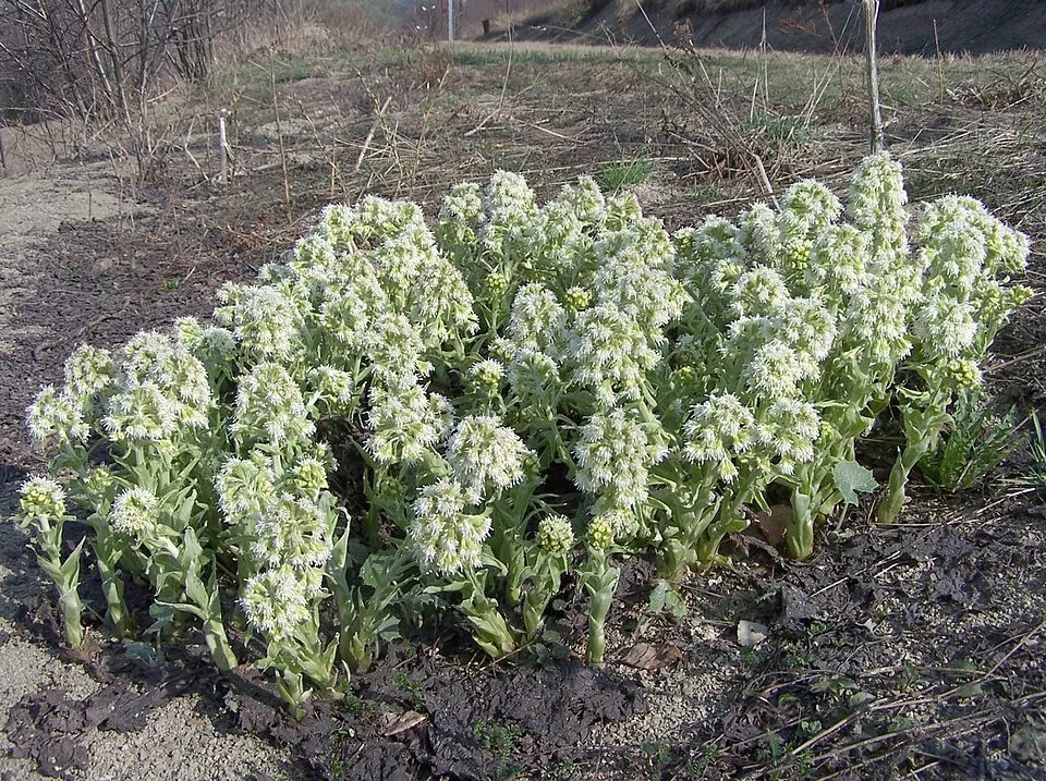
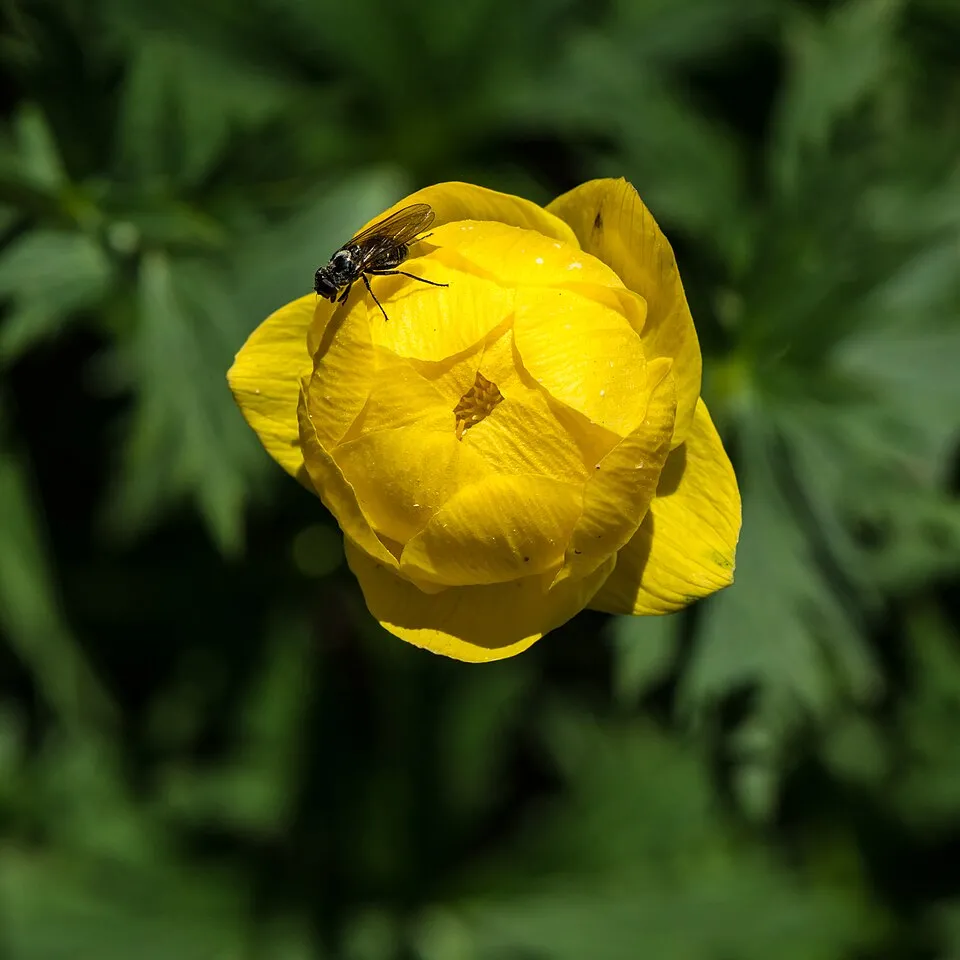
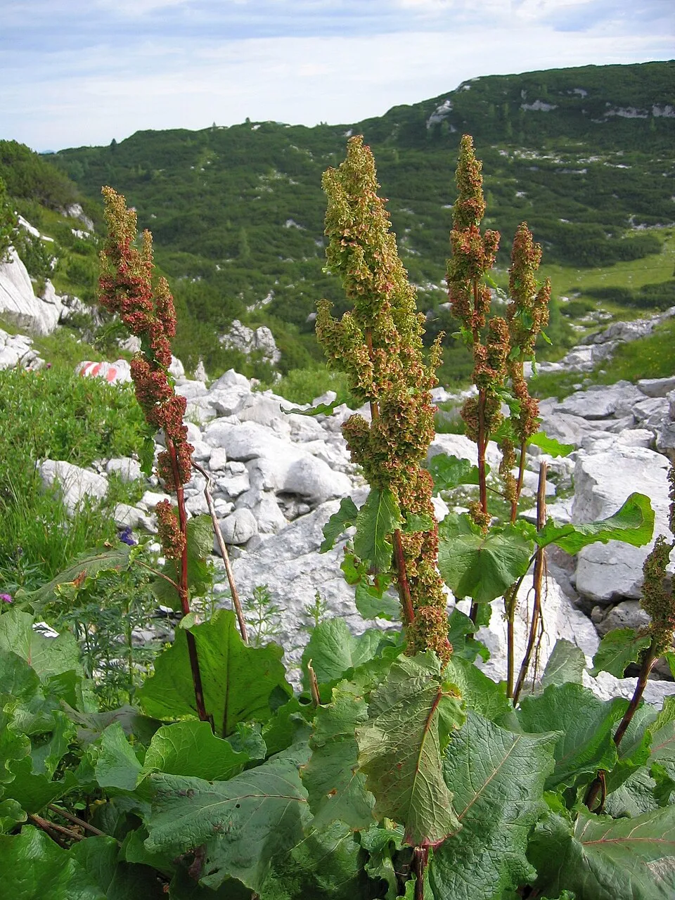
Among the species most often recorded on GBIF are Petasites albus (White Butterbur), Trollius europaeus (European globeflower), Gentiana asclepiadea (Willow Gentian) and Rumex alpinus (Alpine dock).
What is the official website of Adamello Regional Park?
© OpenStreetMap
Download the boundary: GeoJSON · GPX Boundary © OpenStreetMap contributors (ODbL).
Geography
The representative point of the site lies at around 1,361 m above sea level. Over the 1996–2025 period, the mean annual temperature is about 6.2 °C and total precipitation reaches roughly 1,570 mm per year. The warmest month is usually July, the coolest January, and the wettest May. According to the European 1:1 million geological map (EGDI), the bedrock consists mainly of granites (38% of sampled points), phyllites and slates (31%) and dolomites (25%). The geological units date mainly from the Cretaceous (38% of sampled points). In 2016, 30 glaciers covered 19.0 km² within the site (Sentinel-2 glacier inventory of the Alps). The site contains 5 lakes larger than 10 ha, totalling 1.6 km² of water; the largest, lago d'Arno, covers 53 ha (HydroLAKES). Lago d'Avio is 79 m deep (Wikidata).
Area
- Area
- 50,935 ha
- Elevation
- 1,361 m
- Median elevation
- 1,980 m
- Mean slope
- 28°
- Snow cover
- ≈ 160 days a year
- Lakes over 10 ha
- 5 (1.6 km²)
- Coordinates
- 46.09, 10.42
Terrain: Mapzen Terrain Tiles (SRTM, USGS) · Lakes: HydroLAKES (Messager et al. 2016, hydrosheds.org, CC BY 4.0) · depths: Wikidata (CC0)
Elevation bands
- below 500 m 1%
- 500–1,000 m 8%
- 1,000–1,500 m 17%
- 1,500–2,000 m 26%
- 2,000–2,500 m 29%
- 2,500–3,000 m 16%
- above 3,000 m 4%
share of the site in each elevation band (smoothed terrain model: summits are rounded off) · Terrain: Mapzen Terrain Tiles (SRTM, USGS)
Bedrock
- Granites 38 %
- Phyllites and slates 31 %
- Dolomites 25 %
- Andesites and dacites 6 %
Igneous rocks 44 % · Metamorphic rocks 31 % · Sedimentary rocks 25 % · Main age: Cretaceous (38%)
Source: EGDI 1:1M geological map (EuroGeoSurveys and national geological surveys), CC BY 4.0 · 16 sampled points within the site.
Main summits
- Monte Adamello3,539 m
- Dosson di Genova Meridionale3,439 m
- Monte Falcone3,437 m
- Corno Bianco3,427 m
- La Tripla3,403 m
- Dosson di Genova Settentrionale3,379 m
- Corno Miller3,372 m
- Cima del Laghetto3,364 m
- Anticima di Monte Fumo3,355 m
- Corno Baitone3,331 m
Data © OpenStreetMap contributors (ODbL)
Climate
● Mean temperature (°C) · ▮ Precipitation (mm)
Source: Copernicus ERA5-Land (C3S, doi:10.24381/cds.68d2bb30), monthly averages 1996–2025 interpolated to the representative point, temperatures adjusted for elevation.
Contains modified Copernicus Climate Change Service information 2026. Neither the European Commission nor ECMWF is responsible for any use that may be made of the Copernicus information or data it contains.
Snow cover measured by satellite
J
F
M
A
M
J
J
A
S
O
N
D
average share of the site under snow · snowiest parts · ≈ 160 days a year
Snow cover: MODIS/Terra MOD10CM v61 (Hall & Riggs, 2021, NASA NSIDC DAAC, doi:10.5067/MODIS/MOD10CM.061), imagery from NASA GIBS (ESDIS); 2015–2025 average, grid of about 5 km.
Natural habitats
According to CORINE Land Cover (2018), the site is mainly made up of forests (37%), bare rock and scree (19%) and sparsely vegetated land (17%). Woodland is mostly coniferous. Elevation ranges from about 620 m to 3,539 m (highest point: Monte Adamello). Median elevation is 1,980 m, and 20% of the site lies above 2,500 m (SRTM elevation model). The terrain is steep: 42% of slopes exceed 30° (mean slope 28°). The 16 Natura 2000 sites overlapping the area list 21 habitats of European interest (3 priority), the most extensive being siliceous alpine and boreal grasslands, permanent glaciers and acidophilous Picea forests of the montane to alpine levels (Vaccinio-Piceetea).
Biodiversity
Based on occurrences aggregated by GBIF, several species are regularly recorded within the site. Among the most frequent are Petasites albus (White Butterbur), Trollius europaeus (European globeflower), Gentiana asclepiadea (Willow Gentian) and Rumex alpinus (Alpine dock). The full list of documented taxa is shown below. The overlapping Natura 2000 sites list 152 species of European interest: 115 birds, 15 mammals, 4 reptiles, 3 amphibians, 1 fish, 3 invertebrates and 11 plants.
Habitats of European interest
From the official forms of the 16 Natura 2000 sites overlapping the area (areas reported for each whole site).
- Siliceous alpine and boreal grasslands 1,914 ha
- Permanent glaciers 1,722 ha
- Acidophilous Picea forests of the montane to alpine levels (Vaccinio-Piceetea) 1,599 ha
- Alpine and Boreal heaths 1,253 ha
- Alpine and subalpine calcareous grasslands 1,064 ha
- Alpine Larix decidua and/or Pinus cembra forests 965 ha
- Siliceous scree of the montane to snow levels (Androsacetalia alpinae and Galeopsietalia ladani) 731 ha
- Species-rich Nardus grasslands, on silicious substrates in mountain areas (and submountain areas in Continental Europe) priority 244 ha
and 13 more
Species of European interest
Birds · 115
Redpoll (Acanthis flammea) resident, Eurasian Goshawk (Accipiter gentilis) resident, Eurasian Sparrowhawk (Accipiter nisus) resident, Common Sandpiper (Actitis hypoleucos) passage, Long-tailed Tit (Aegithalos caudatus) breeding wintering, Boreal Owl (Aegolius funereus) resident, Eurasian Skylark (Alauda arvensis) breeding, Rock Partridge (Alectoris graeca saxatilis) resident, Eurasian Teal (Anas crecca) passage, Mallard (Anas platyrhynchos) passage, Meadow Pipit (Anthus pratensis) passage, Water Pipit (Anthus spinoletta) breeding wintering and 103 more
Mammals · 15
Alpine Ibex (Capra ibex), Northern Bat (Eptesicus nilssonii), Serotine bat (Eptesicus serotinus), Mountain Hare (Lepus timidus), European pine marten (Martes martes), Hazel dormouse (Muscardinus avellanarius), Daubenton's bat (Myotis daubentonii), Whiskered bat (Myotis mystacinus), Lesser noctule (Nyctalus leisleri), Kuhl's pipistrelle (Pipistrellus kuhlii), Nathusius's pipistrelle (Pipistrellus nathusii), Common pipistrelle (Pipistrellus pipistrellus) and 3 more
Reptiles · 4
Smooth snake (Coronella austriaca), Dice snake (Natrix tessellata), Common wall lizard (Podarcis muralis), Aesculapian Snake (Zamenis longissimus)
Amphibians · 3
Common frog (Rana temporaria), Alpine salamander (Salamandra atra), Italian crested newt (Triturus carnifex)
Fish · 1
Invertebrates · 3
Large Blue (Maculinea arion), Apollo (Parnassius apollo), Clouded apollo (Parnassius mnemosyne)
Plants · 11
Mountain arnica (Arnica montana), Black Wormwood (Artemisia genipi), Lady's-slipper orchid (Cypripedium calceolus), Alpine clubmoss (Diphasiastrum alpinum), Great Yellow Gentian (Gentiana lutea), Marsh gladiolus (Gladiolus palustris), Glaucous Primrose (Primula glaucescens), Sphagnum auriculatum, Sphagnum (Sphagnum flexuosum), Sphagnum (Sphagnum fuscum), Warnstorf's sphagnum (Sphagnum warnstorfii)
Source: Natura 2000 standard data forms (EEA, CC-BY 4.0). Not exhaustive: sensitive species are not published.
Species to look out for


Observed species
Occurrences documented via GBIF; they are neither an exhaustive inventory nor proof of current presence.
- White Butterbur · Petasites albus · 46
- European globeflower · Trollius europaeus · 33
- Willow Gentian · Gentiana asclepiadea · 30
- Alpine dock · Rumex alpinus · 29
- Coal tit · Periparus ater · 28
- Oreopsyche vorbrodtella · 28
- Green Alder · Alnus alnobetula · 28
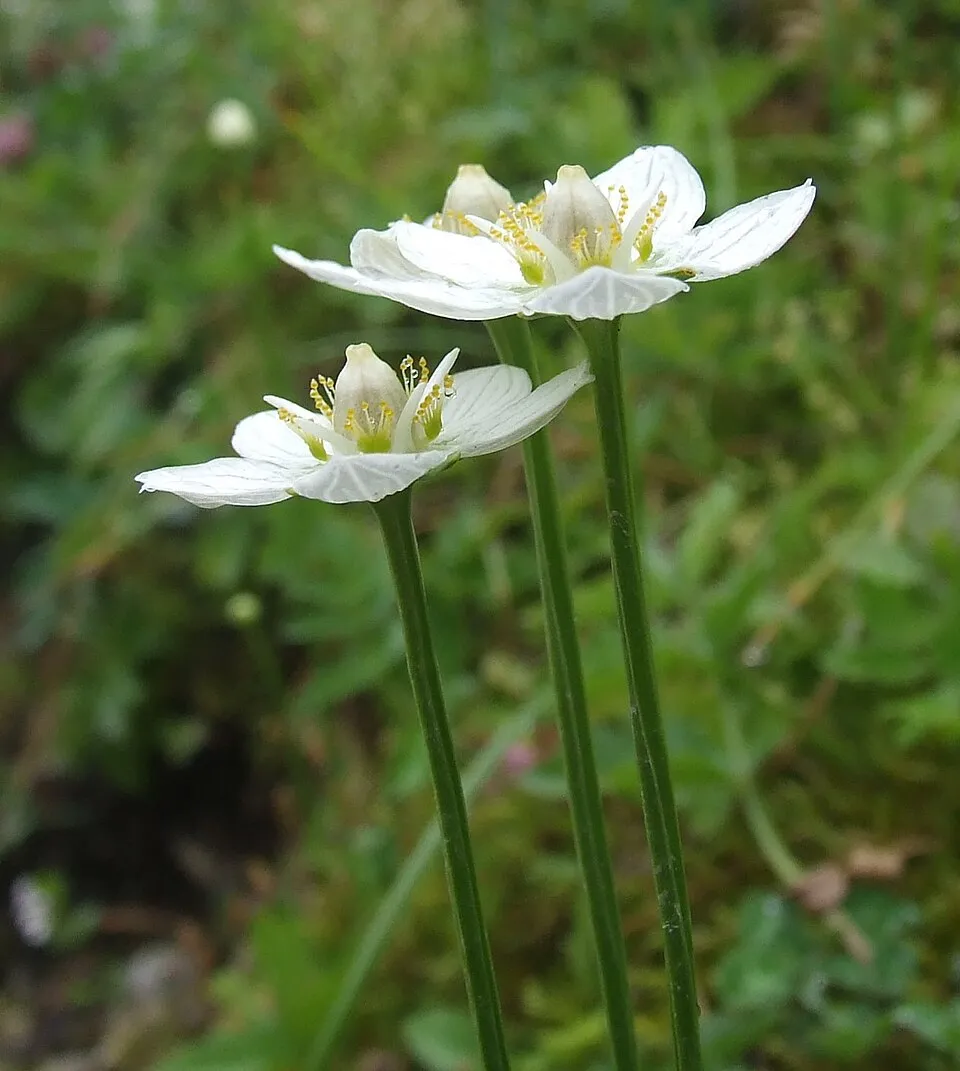
- Grass-of-Parnassus · Parnassia palustris · 27
- Wood Crane's-bill · Geranium sylvaticum · 25
- Rowan · Sorbus aucuparia · 25
- Eurasian Chaffinch · Fringilla coelebs · 24
- Alpine Chough · Pyrrhocorax graculus · 22
+18 more species
- Alpine clematis · Clematis alpina · 22
- Black Redstart · Phoenicurus ochruros · 22
- Red-berried Elder · Sambucus racemosa · 20
- Mountain arnica · Arnica montana · 20
- Martagon lily · Lilium martagon · 19
- European robin · Erithacus rubecula · 18
- Coltsfoot · Tussilago farfara · 18
- Bladder Campion · Silene vulgaris · 18
- Bilberry · Vaccinium myrtillus · 17
- Stemless carline thistle · Carlina acaulis · 17
- Common Chiffchaff · Phylloscopus collybita · 16
- Great rock snail · Chilostoma cingulatum · 16
- Goldcrest · Regulus regulus · 15
- Great masterwort · Astrantia major · 15
- Lesteva monticola · 15
- Eurasian Wren · Troglodytes troglodytes · 15
- Fireweed · Chamaenerion angustifolium · 15
- Edelweiss · Leontopodium nivale · 14
Records: GBIF.org (CC-BY). Names: Wikidata (CC0), GBIF. Photos: Wikimedia Commons.
Conservation challenges
The primary purpose of the site is to preserve its natural habitats and the biodiversity they support. The species recorded (Biodiversity tab) reflect its ecological value. The designations it holds frame its management and the control of land use.
According to Global Forest Change data (University of Maryland, Global Forest Watch), about 1,030 ha of tree cover were lost within the boundary between 2001 and 2023 (2% of its area), peaking in 2019 and 2023. These losses include logging, storms and fires, and do not account for regrowth. According to CORINE Land Cover, land cover here remained almost unchanged between 1990 and 2018 (less than 0.5% of the area affected). Since 2016, the European EFFIS system (Copernicus) has mapped 5 fires here, burning about 157 ha within the boundary; the largest, in March 2022 (near Sonico), covered 52 ha. At night, 4% of the area gives off artificial light detectable from space (NASA VIIRS Black Marble composite, 2016). According to the Natura 2000 forms, of 20 assessed habitats of European interest, 8 are in excellent condition and the rest in good condition. According to the Water Framework Directive assessment (2022 river basin management plans, data 2014–2019), 100% of the 146 km of rivers assessed within the site are in good or high ecological status. Other assessed water bodies: lakes, 5 of 5 in good ecological status or better. Since 2000, 7 invasive alien species have been recorded within the site (GBIF observations), one of them listed as of Union concern under EU Regulation 1143/2014. Among them: Impatiens glandulifera (Himalayan Balsam), Prunus laurocerasus (Cherry laurel) and Buddleja davidii (Butterfly-bush).
Pressure indicators
Tree cover lost
1,031 ha
2001–2023 · 2% of the area
20012023
Fires since 2016
157 ha
burned within the boundary (5 mapped fires)
- 2022 · Sonico · 52 ha
- 2022 · Edolo · 45 ha
- 2022 · Cimbergo · 21 ha
Light at night
4%
of the area gives off artificial light visible from space
DarkLit
Built-up land
< 1%
buildings, business areas, roads, quarries · farmland 2%
Land cover change
< 0.5%
of the area changed, 1990–2018 · CORINE
Rivers and lakes
100%
of the 146 km of assessed rivers in good or high ecological status · WFD 2022
Lakes: 5 of 5 good or better
assessments 2014–2019
Invasive alien species
7
incl. 1 of EU concern · since 2000
 Himalayan BalsamEU
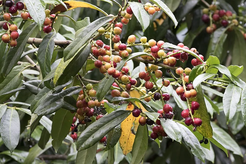 Cherry laurel
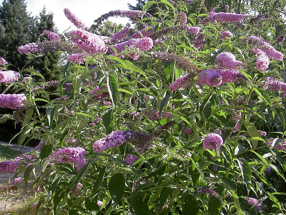 Butterfly-bush
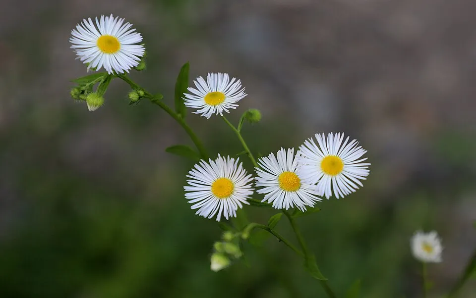 Eastern daisy fleabane
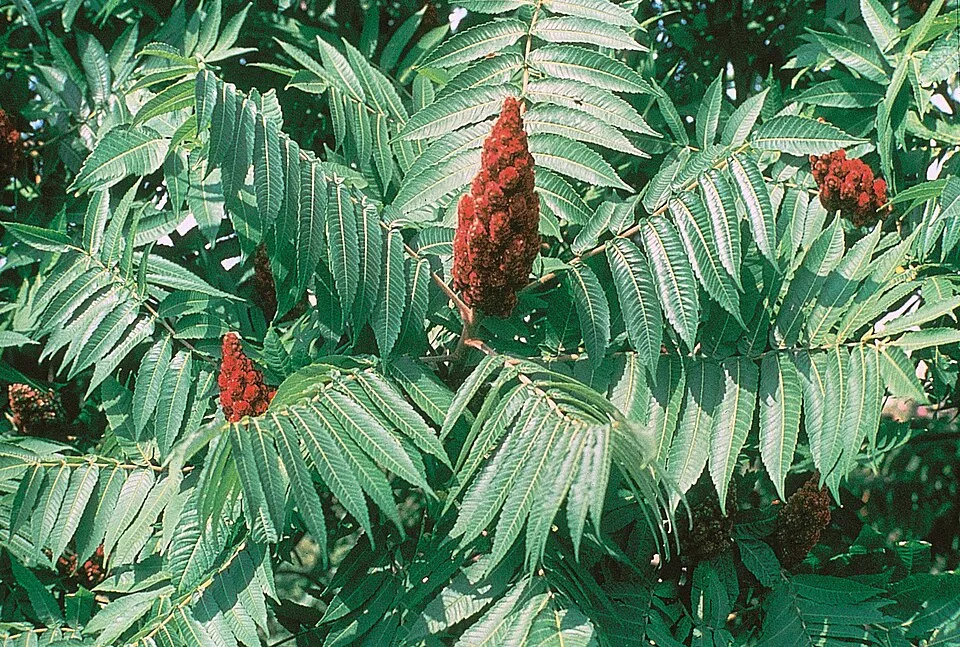 Staghorn sumac
 Japanese rose
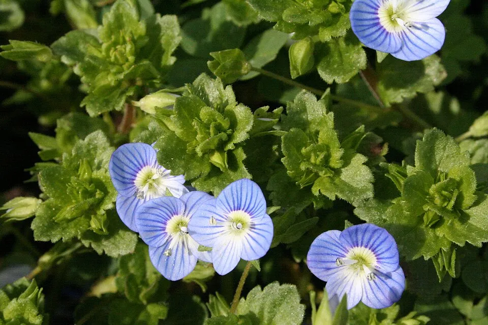 Common field-speedwell
Photos: Himalayan Balsam © Guptaele · CC BY-SA 4.0; Cherry laurel © Zeynel Cebeci · CC BY-SA 4.0; Butterfly-bush © --IKAl 15:22, 23 July 2007 (UTC) · CC BY-SA 2.5; Eastern daisy fleabane © W. Bulach · CC BY-SA 4.0; Staghorn sumac © Muggwort17 · Public domain; Japanese rose © Vihljun · Public domain; Common field-speedwell © Strobilomyces · CC BY-SA 3.0
Sources: Global Forest Change (Hansen et al., University of Maryland, via Global Forest Watch, CC-BY 4.0); EFFIS, European Commission / Copernicus; NASA Black Marble 2016 (public domain); CORINE Land Cover 2018 (Copernicus) or MODIS.
CORINE Land Cover Change 1990–2018: generated using European Union's Copernicus Land Monitoring Service information (EEA), aggregated by Parkavela; DOI 10.2909/f30f1000-7cf8-43bb-872c-5eb093911b24.
Ecological status of water bodies: European Environment Agency, WISE – Water Framework Directive, 3rd river basin management plans (2022), CC BY 4.0. Official national classification, not comparable between countries.
Invasive alien species: Global Register of Introduced and Invasive Species (ISSG, CC BY 4.0); Union list, Regulation (EU) 1143/2014 (INBO, CC0); GBIF.org records (CC0 / CC BY 4.0), at least 2 per species.
Practical information
Cities and airport
- Brescia
42 km as the crow flies - Trento
44 km as the crow flies - Airport: Bergamo-Il Caravaggio (BGY)
57 km as the crow flies
Visitor information
- Ufficio Informazioni Passo Tonale
< 1 km from the site boundary - Pro Loco Breno
< 1 km from the site boundary - Info Point
< 1 km from the site boundary - Pro Loco
2 km from the site boundary
Things to see
15 viewpoints · 19 waterfalls · 39 lakes and ponds · 2 caves · 16 glaciers · 1 bird hide
- Cascata del Pisgana
waterfall - Lago Cadino Alto
lake or pond · 2,380 m - Ghiacciaio del Venerocolo
glacier - Osservatorio faunistico
bird hide - Cascata del Valu
waterfall
Where to stay
46 mountain huts · 2 campsites
- Bivacco Francesco Regosa
Unstaffed hut · 2,958 m · 9 beds - Camping Pian della Regina
campsite - Bivacco Capanna Mattia
Unstaffed hut · 2,600 m - Campo Tres
campsite - Rifugio Maria e Franco Lomini
Staffed hut · 2,572 m · 37 beds
Hiking
148 waymarked routes listed, including:
Alta Via dell'Adamello-TappaAlta Via del CaffaroSentiero Monsignor Giovanni AntonioliVariante
By bike
OG Ciclovia dell'Oglio · 17 km
Signed cycle routes: this does not mean that cycling is allowed on footpaths.
Data © OpenStreetMap contributors (ODbL) · Wikidata (CC0)
Routes © OpenStreetMap contributors (ODbL), via Waymarked Trails
Waymarked hiking routes
601 Alta Via dell'Adamello-Tappa 1 (Breno-Bazena)
8.6 km within the site ↗ 745 m↘ 41 m 1,093–1,801 m
SGA Sentiero Monsignor Giovanni Antonioli
32.1 km within the site ↗ 2,899 m↘ 2,224 m 870–2,437 m
VSGA Variante - Sentiero Monsignor Giovanni Antonioli
4.8 km within the site ↗ 492 m↘ 136 m 2,168–2,623 m
up to T2 · mountain hiking
Tracks © OpenStreetMap contributors (ODbL), clipped to the boundary; elevation gain and profiles computed on the longest section from Mapzen Terrain Tiles (≈ 30 m), indicative only. Indicative difficulty (SAC scale, OpenStreetMap, via Waymarked Trails): check with the park.
Access and visiting
The nearest railway station is Tirano RhB, about 14 km from the site boundary. Nearest towns of over 50,000 people, as the crow flies: Brescia (42 km) and Trento (44 km). Nearest airport: Bergamo-Il Caravaggio (BGY), about 57 km away. About 180,000 people live within 20 km of the site boundary, 66,000 of them within 10 km; some 7,100 people are estimated to live inside (GHSL estimate, 2020). Visitor information on site: Ufficio Informazioni Passo Tonale, Pro Loco Breno and Info Point. Waymarked hiking routes listed in OpenStreetMap: 148, including Alta Via dell'Adamello-Tappa, Alta Via del Caffaro, Sentiero Monsignor Giovanni Antonioli and Variante. A signed cycle route crosses the site: “OG Ciclovia dell'Oglio” (OpenStreetMap). To see: 15 viewpoints, 19 waterfalls, 39 lakes and ponds, 2 caves, 16 glaciers and 1 bird hide, including Cascata del Pisgana, Lago Cadino Alto (2,380 m), Ghiacciaio del Venerocolo and Osservatorio faunistico. Where to stay: 46 mountain huts and 2 campsites, including Bivacco Francesco Regosa (2,958 m), Camping Pian della Regina and Bivacco Capanna Mattia (2,600 m). To plan a visit (access, opening periods, visitor rules), it is best to consult the official information from the managing body and the official website listed in this page's sources.
Source: OpenStreetMap (ODbL), Wikidata (CC0), October 2026.
Built heritage
According to Wikidata, 6 monuments protected as Italian national cultural heritage stand within the boundary. Among them are 4 religious buildings and 1 castle or fortification. Examples include “Chiesa di San Bernardino da Siena” in Saviore dell'Adamello, “Castello di Cimbergo” in Cimbergo and “War memorial in Cevo” in Cevo.
4 religious buildings1 castle or fortification
-
Chiesa di San Bernardino da Siena
Saviore dell'Adamello -
Castello di Cimbergo
Cimbergo -
War memorial in Cevo
Cevo -
Chiesa di Santa Maria Nascente
Sonico -
Santella del Lazzaretto
Niardo
and 1 more
Source: Wikidata (CC0), monuments in each country’s official heritage protection registers, at national or regional level. Each item links to its Wikidata entry.
When to visit
Best time to visit: from July to September, with average temperatures of 12 to 16 °C and moderate rainfall. Average temperatures drop below 0 °C from December to February: frost is common. These averages apply to the site's representative point (1,361 m); higher up it is markedly cooler and snow lasts longer. According to NASA's MODIS satellites (2015–2025 average), snow covers most of the site from November to April, and until May on higher ground, with about 160 snow-covered days a year on average. Permanent snow remains on the summits even in midsummer. Day length ranges from about 8 h 39 min in December to 15 h 44 min in June. Wildlife records published on GBIF peak for birds (December and January), plants (July and August), butterflies and moths (July) and mammals (August). These peaks also reflect when observers are most active.
Source: Copernicus ERA5-Land (C3S), monthly averages 1996–2025 at the representative point, temperatures adjusted for elevation.
Contains modified Copernicus Climate Change Service information 2026. Neither the European Commission nor ECMWF is responsible for any use that may be made of the Copernicus information or data it contains.
Wildlife records calendar
JFMAMJJASOND
Birds
Plants
Butterflies & moths
Mammals
Monthly records published on GBIF (CC-BY), relative to the busiest month; also reflects observer activity.
Gallery
© Bazzo3 · CC BY-SA 4.0
© Federica Orsi · CC BY-SA 4.0
© FabioScalvinoni11 · CC BY-SA 4.0
© ClariceSerafini · CC BY-SA 4.0
© Introzzi Pietro · CC BY-SA 4.0
© Federica Orsi · CC BY-SA 4.0
Sources and licences
- Wikidata: Q2052068
- OpenStreetMap: relation 903487
- Official website: http://www.parcoadamello.it
- Wikipedia: en.wikipedia.org/wiki/Adamello_Regional_Park
- WDPA: 182738
References
- cds.climate.copernicus.eu: climate · CC-BY-4.0
- registry.opendata.aws: elevation of the reference point, detailed relief · PD
- doi.org: glaciers, population around the site · CC-BY-4.0
- land.copernicus.eu: land cover, land cover change, sea share · COPERNICUS
- wikidata.org: official area, establishment date, protected heritage, nearby cities and airport, access and peaks, lake depths, places to see, official website · CC0-1.0
- eea.europa.eu: bathing water quality, ecological status of waters · CC-BY-4.0
- en.eurovelo.com: EuroVelo cycle routes · ODbL-1.0
- cycling.waymarkedtrails.org: cycle routes · ODbL-1.0
- opentopodata.org: elevations · PD
- forest-fire.emergency.copernicus.eu: wildfires · COPERNICUS
- globalforestwatch.org: tree cover loss · CC-BY-4.0
- gbif.org: seasonality of sightings, invasive alien species, observed species · CC-BY-4.0
- europe-geology.eu: geology · CC-BY-4.0
- hydrosheds.org: lakes · CC-BY-4.0
- natura2000.eea.europa.eu: Natura 2000 habitats and species · CC-BY-4.0
- openstreetmap.org: official name, access and peaks, places to see · ODbL-1.0
- earthobservatory.nasa.gov: night light · PD
- hiking.waymarkedtrails.org: route difficulty · ODbL-1.0
- nsidc.org: snow cover · PD
- wikidata.org: Wikipedia article · CC-BY-SA-4.0
Data © OpenStreetMap contributors (ODbL), Wikidata (CC0) and the sources cited.