Italy · Terrestrial
Stelvio National Park
National park of 130,734 hectares in Italy, established in 1935.
Overview
National park of 130,734 hectares in Italy, established in 1935.
Stelvio National Park is located in Italy (Europe). It is a predominantly terrestrial area. Established on 24 April 1935, it covers about 130,734 hectares.
Protections and designations
Natura 2000 · habitats (SAC) · 16 sites
- Alpe di Cavallaccio nel Parco Nazionale dello Stelvio IT3110040
- Alta Val del Monte IT3120003
- Alta Val di Rabbi IT3120001
- Alta Val La Mare IT3120002
- Cime di Plator e Monte delle Scale IT2040008
- Motto di Livigno - Val Saliente IT2040002
- and 10 more
Natura 2000 · birds (SPA) · 5 sites
- Alpe di Cavallaccio nel Parco Nazionale dello Stelvio IT3110040
- Ortles - Monte Madaccio nel Parco Nazionale dello Stelvio IT3110039
- Parco Nazionale dello Stelvio IT2040044
- Stelvio IT3120157
- Ultimo - Solda nel Parco Nazionale dello Stelvio IT3110038
Other designations
Protected as a national park. International labels and designations: Natura 2000 network (18 sites). Key dates: established in 1935 and first Natura 2000 site under the Birds Directive in 1988.
In our collections
Timeline
-
1935
Established
-
1988
First Natura 2000 site under the Birds Directive 5 such sites designated up to 2007
Sources: Wikidata (CC0) for establishment and international labels; EEA Natura 2000 database (CC-BY 4.0) for site designation dates.
Frequently asked questions
Where is Stelvio National Park?
In Italy (Europe). Representative point: 46.4660° N, 10.5060° E.
How large is Stelvio National Park?
About 130,734 hectares (1,307 km²). It is the 4th largest of the 26 national parks in Italy covered by Parkavela.
When was Stelvio National Park established?
On 24 April 1935.
What habitats and landscapes does Stelvio National Park include?
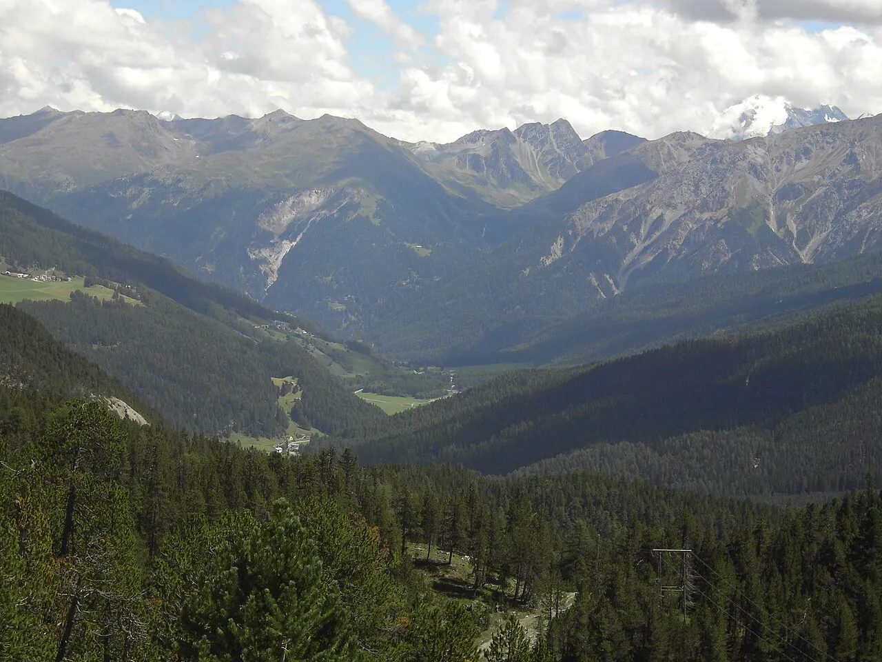
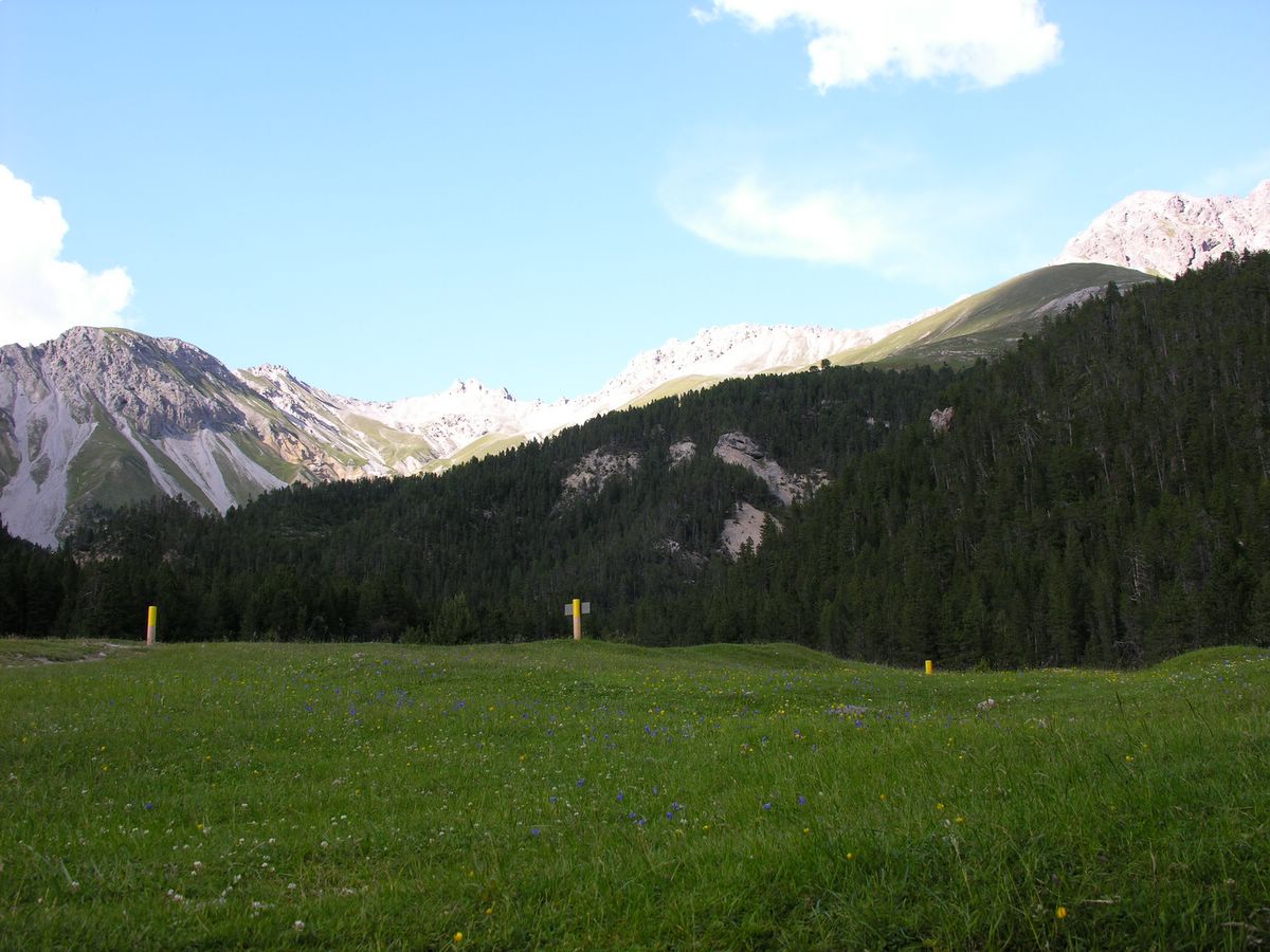
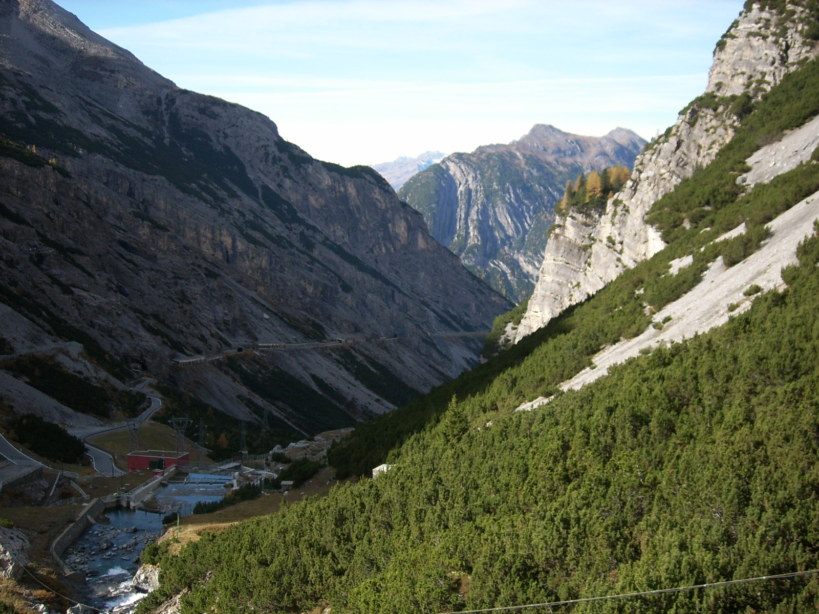
A terrestrial area, with mountains.
What rocks lie beneath Stelvio National Park?
According to the European 1:1 million geological map (EGDI), the bedrock consists mainly of phyllites and slates (31% of sampled points), gneiss (25%) and limestones (19%). These are mostly metamorphic rocks. The geological units date mainly from the Carboniferous (56% of sampled points).
What is the highest point of Stelvio National Park?
Ortler - Ortles, at 3,905 m (OpenStreetMap).
What are the main summits of Stelvio National Park?
Ortler - Ortles (3,905 m), Königspitze - Gran Zebrù (3,851 m), Ortler Vorgipfel - Ortles Anticima (3,845 m), Monte Cevedale (3,769 m) and Südliche Zufallspitze - Cevedale II (3,757 m) (OpenStreetMap).
Which international labels apply to Stelvio National Park?
Natura 2000 network (18 sites).
When is the best time to visit Stelvio National Park?
Mildest period: from June to August, with average temperatures of 7 to 10 °C.
Is there snow in Stelvio National Park?
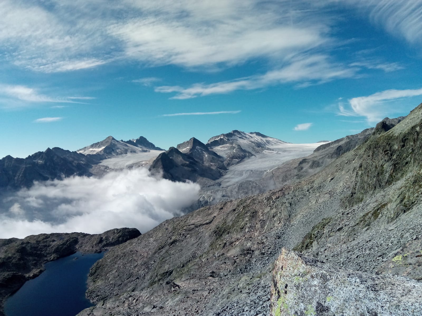
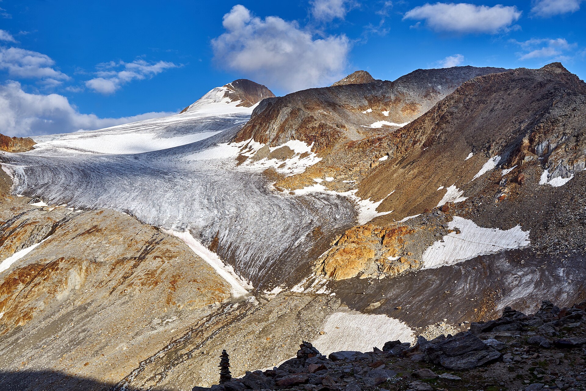
Yes. According to NASA's MODIS satellites (2015–2025 average), snow covers most of the site from November to May, and until June on higher ground, with about 205 snow-covered days a year on average. Permanent snow remains on the summits even in midsummer.
What is there to see in Stelvio National Park?
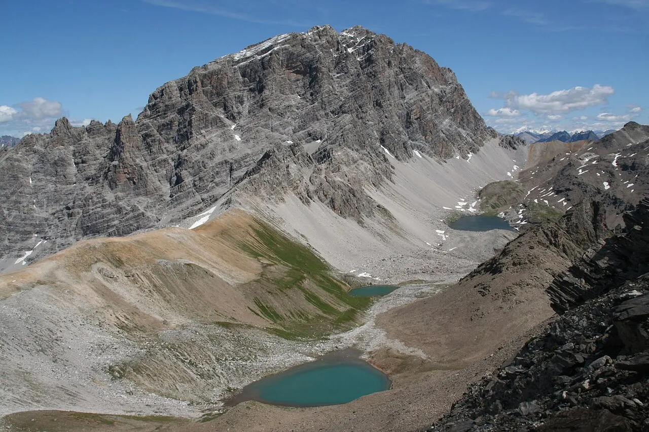
78 viewpoints, 42 waterfalls, 94 lakes and ponds, 8 caves and 79 glaciers, including Auf dem Gelenk (2,450 m), Cascate Ragaiolo (1,583 m), Laghetti di Pietra Rossa (2,585 m) and Campo di battaglia Shelter (OpenStreetMap).
Where can I stay in Stelvio National Park?
49 mountain huts and 4 campsites, including Bivacco L. Pellicioli (3,230 m), Area di sosta "Al Plan" and Martellerhütte - Rifugio Martello (2,610 m) (OpenStreetMap).
Are there historic monuments in Stelvio National Park?
Yes. According to Wikidata, 18 monuments protected as Italian national cultural heritage stand within the boundary. For example: “Saints Philip and James church” in Peio, “Tschenglsberg” in Lasa and “Punta Linke” in Peio.
What is the nearest large city to Stelvio National Park?
Nearest towns of over 50,000 people, as the crow flies: Bolzano (36 km) and Trento (44 km). Nearest airport: Bergamo-Il Caravaggio (BGY), about 84 km away.
How can I reach Stelvio National Park by train?
The nearest railway station is Laas - Lasa, less than 1 km from the site boundary.
Where can I get visitor information on site?
Parco Nazionale dello Stelvio, Consorzio Turistico Pejo 3000 and Ufficio Informazioni Val di Pejo.
Are there waymarked hiking trails in Stelvio National Park?
Yes. Waymarked hiking routes listed in OpenStreetMap: 530, including Sentiero della Pace, Ultner Höhenweg and Alta Via Camuna. The “102 · Alta Via Camuna” route runs for about 38 km through the site, with some 2,600 m of ascent on its longest section.
Which species can be seen in Stelvio National Park?
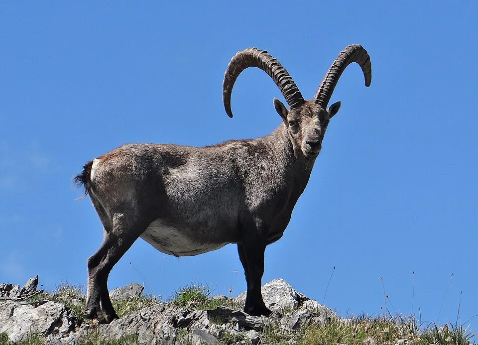
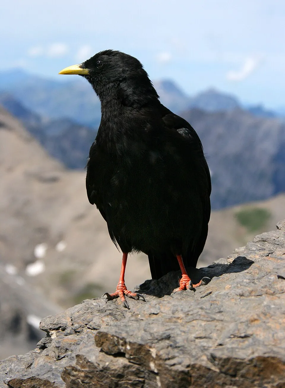
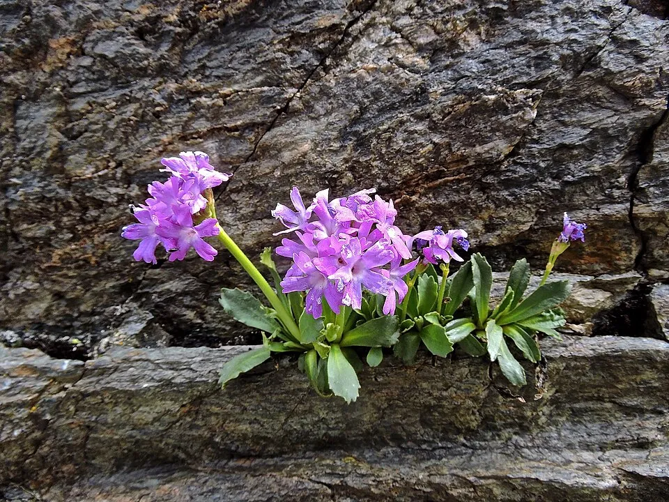
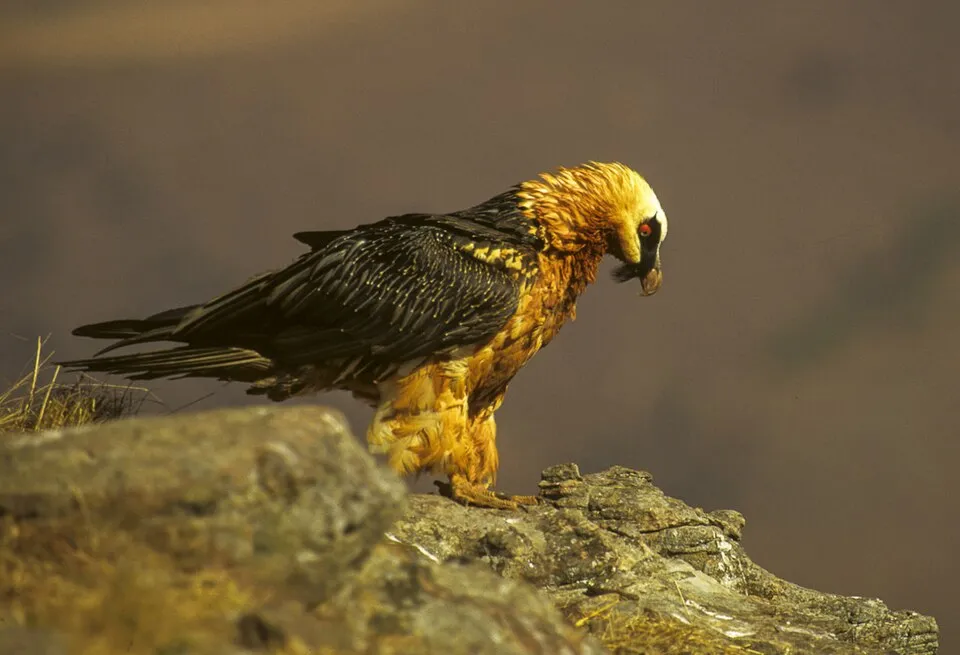
Among the species most often recorded on GBIF are Capra ibex (Alpine Ibex), Pyrrhocorax graculus (Alpine Chough), Primula daonensis and Gypaetus barbatus (Bearded vulture).
What is the official website of Stelvio National Park?
© OpenStreetMap
Download the boundary: GeoJSON · GPX Boundary © OpenStreetMap contributors (ODbL).
Geography
The representative point of the site lies at around 2,436 m above sea level. Over the 1996–2025 period, the mean annual temperature is about -1.2 °C and total precipitation reaches roughly 1,053 mm per year. The warmest month is usually July, the coolest January, and the wettest November. According to the European 1:1 million geological map (EGDI), the bedrock consists mainly of phyllites and slates (31% of sampled points), gneiss (25%) and limestones (19%). These are mostly metamorphic rocks. The geological units date mainly from the Carboniferous (56% of sampled points). In 2016, 122 glaciers covered 64.3 km² within the site (Sentinel-2 glacier inventory of the Alps). The site contains 6 lakes larger than 10 ha, totalling 5.2 km² of water; the largest, lago di Cancano II, covers 2.7 km² (HydroLAKES). lago Verde is 86 m deep (Wikidata).
Area
- Area
- 130,734 ha
- Elevation
- 2,436 m
- Median elevation
- 2,412 m
- Mean slope
- 27°
- Snow cover
- ≈ 205 days a year
- Lakes over 10 ha
- 6 (5.2 km²)
- Coordinates
- 46.466, 10.506
Terrain: Mapzen Terrain Tiles (SRTM, USGS) · Lakes: HydroLAKES (Messager et al. 2016, hydrosheds.org, CC BY 4.0) · depths: Wikidata (CC0)
Elevation bands
- 500–1,000 m 1%
- 1,000–1,500 m 6%
- 1,500–2,000 m 18%
- 2,000–2,500 m 31%
- 2,500–3,000 m 33%
- above 3,000 m 11%
share of the site in each elevation band (smoothed terrain model: summits are rounded off) · Terrain: Mapzen Terrain Tiles (SRTM, USGS)
Bedrock
- Phyllites and slates 31 %
- Gneiss 25 %
- Limestones 19 %
- Unconsolidated deposits 13 %
- Glacial deposits 6 %
- Mica schists 6 %
Metamorphic rocks 63 % · Sedimentary rocks 38 % · Main age: Carboniferous (56%)
Source: EGDI 1:1M geological map (EuroGeoSurveys and national geological surveys), CC BY 4.0 · 16 sampled points within the site.
Main summits
- Ortler - Ortles3,905 m
- Königspitze - Gran Zebrù3,851 m
- Ortler Vorgipfel - Ortles Anticima3,845 m
- Monte Cevedale3,769 m
- Südliche Zufallspitze - Cevedale II3,757 m
- Monte Zebrù3,735 m
- Monte Zebrù Südostgipfel - Cima di Sud Est3,724 m
- Palon de la Mare3,703 m
- Nördliche Zufallspitze3,700 m
- Punta San Matteo3,678 m
Data © OpenStreetMap contributors (ODbL)
Climate
● Mean temperature (°C) · ▮ Precipitation (mm)
Source: Copernicus ERA5-Land (C3S, doi:10.24381/cds.68d2bb30), monthly averages 1996–2025 interpolated to the representative point, temperatures adjusted for elevation.
Contains modified Copernicus Climate Change Service information 2026. Neither the European Commission nor ECMWF is responsible for any use that may be made of the Copernicus information or data it contains.
Snow cover measured by satellite
J
F
M
A
M
J
J
A
S
O
N
D
average share of the site under snow · snowiest parts · ≈ 205 days a year
Snow cover: MODIS/Terra MOD10CM v61 (Hall & Riggs, 2021, NASA NSIDC DAAC, doi:10.5067/MODIS/MOD10CM.061), imagery from NASA GIBS (ESDIS); 2015–2025 average, grid of about 5 km.
Natural habitats
According to CORINE Land Cover (2018), the site is mainly made up of bare rock and scree (31%), sparsely vegetated land (25%) and forests (22%). Woodland is mostly coniferous. Elevation ranges from about 1,360 m to 3,905 m (highest point: Ortler - Ortles). Median elevation is 2,412 m, and 11% of the site lies above 3,000 m (SRTM elevation model). The terrain is steep: 39% of slopes exceed 30° (mean slope 27°). The 18 Natura 2000 sites overlapping the area list 33 habitats of European interest (8 priority), the most extensive being siliceous scree of the montane to snow levels (Androsacetalia alpinae and Galeopsietalia ladani), siliceous rocky slopes with chasmophytic vegetation and siliceous alpine and boreal grasslands.
Biodiversity
Based on occurrences aggregated by GBIF, several species are regularly recorded within the site. Among the most frequent are Capra ibex (Alpine Ibex), Pyrrhocorax graculus (Alpine Chough), Primula daonensis and Gypaetus barbatus (Bearded vulture). The full list of documented taxa is shown below. The overlapping Natura 2000 sites list 157 species of European interest: 109 birds, 20 mammals, 6 reptiles, 1 amphibian, 3 fish, 6 invertebrates and 12 plants.
Habitats of European interest
From the official forms of the 18 Natura 2000 sites overlapping the area (areas reported for each whole site).
- Siliceous scree of the montane to snow levels (Androsacetalia alpinae and Galeopsietalia ladani) 15,643 ha
- Siliceous rocky slopes with chasmophytic vegetation 9,517 ha
- Siliceous alpine and boreal grasslands 9,375 ha
- Permanent glaciers 6,518 ha
- Alpine Larix decidua and/or Pinus cembra forests 5,795 ha
- Calcareous and calcshist screes of the montane to alpine levels (Thlaspietea rotundifolii) 4,631 ha
- Alpine and Boreal heaths 3,900 ha
- Calcareous rocky slopes with chasmophytic vegetation 3,782 ha
and 25 more
Species of European interest
Birds · 109
Redpoll (Acanthis flammea) resident, Eurasian Goshawk (Accipiter gentilis) breeding resident, Eurasian Sparrowhawk (Accipiter nisus) breeding passage, Boreal Owl (Aegolius funereus) resident, Cinereous Vulture (Aegypius monachus) passage, Eurasian Skylark (Alauda arvensis) breeding passage, Common Kingfisher (Alcedo atthis) passage, Rock Partridge (Alectoris graeca saxatilis) resident, Mallard (Anas platyrhynchos) passage, Tawny Pipit (Anthus campestris) breeding passage, Meadow Pipit (Anthus pratensis) passage, Water Pipit (Anthus spinoletta) breeding and 97 more
Mammals · 20
Alpine Ibex (Capra ibex), Northern Bat (Eptesicus nilssonii), Serotine bat (Eptesicus serotinus), Savi's Pipistrelle (Hypsugo savii), Mountain Hare (Lepus timidus), European pine marten (Martes martes), Hazel dormouse (Muscardinus avellanarius), Daubenton's bat (Myotis daubentonii), Whiskered bat (Myotis mystacinus), Natterer's bat (Myotis nattereri), Lesser noctule (Nyctalus leisleri), Kuhl's pipistrelle (Pipistrellus kuhlii) and 8 more
Reptiles · 6
Smooth snake (Coronella austriaca), Western Whip Snake (Hierophis viridiflavus), Western green lizard (Lacerta bilineata), Dice snake (Natrix tessellata), Common wall lizard (Podarcis muralis), Aesculapian Snake (Zamenis longissimus)
Amphibians · 1
Fish · 3
European bullhead (Cottus gobio), Marble Trout (Salmo marmoratus), Grayling (Thymallus thymallus)
Invertebrates · 6
Marsh fritillary (Euphydryas aurinia), Large Blue (Maculinea arion), Apollo (Parnassius apollo), Clouded apollo (Parnassius mnemosyne), Narrow-mouthed whorl snail (Vertigo angustior), Southern Festoon (Zerynthia polyxena)
Plants · 12
Mountain arnica (Arnica montana), Black Wormwood (Artemisia genipi), Lady's-slipper orchid (Cypripedium calceolus), Alpine clubmoss (Diphasiastrum alpinum), Diphasiastrum issleri, Austrian Dragonhead (Dracocephalum austriacum), Great Yellow Gentian (Gentiana lutea), Marsh clubmoss (Lycopodiella inundata), Interrupted clubmoss (Lycopodium annotinum), Stag's-horn Clubmoss (Lycopodium clavatum), Orthotrichum rogeri, Sphagnum Mosses (Sphagnum spp.)
Source: Natura 2000 standard data forms (EEA, CC-BY 4.0). Not exhaustive: sensitive species are not published.
Species to look out for
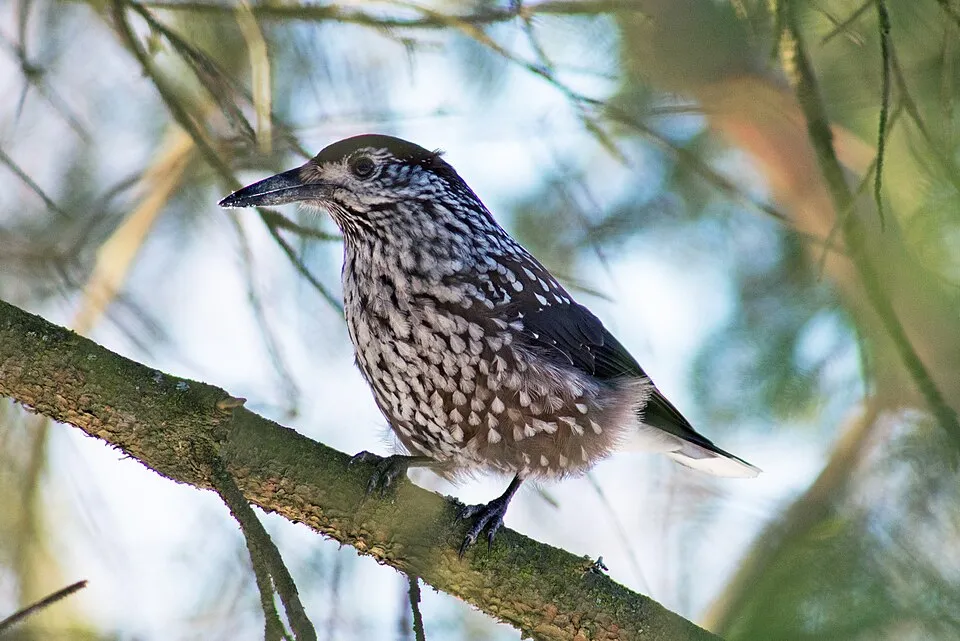
Bird
Northern Nutcracker
Nucifraga caryocatactes235 records © Jyrki Salmi from Finland · CC BY-SA 2.0
Observed species
Occurrences documented via GBIF; they are neither an exhaustive inventory nor proof of current presence.
- Alpine Ibex · Capra ibex · 333
- Alpine Chough · Pyrrhocorax graculus · 269
- Primula daonensis · 269
- Bearded vulture · Gypaetus barbatus · 238
- Northern Nutcracker · Nucifraga caryocatactes · 235
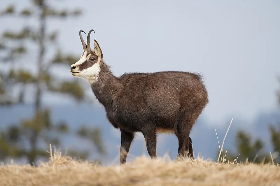
- Chamois · Rupicapra rupicapra · 234
- Tube lichen · Hypogymnia physodes · 232
- Black Redstart · Phoenicurus ochruros · 227
- Yellowfin tuna · Thunnus albacares · 224
- Coal tit · Periparus ater · 210
- Eurasian Chaffinch · Fringilla coelebs · 179
- Spiniest thistle · Cirsium spinosissimum · 177
+18 more species
- Tree Moss · Pseudevernia furfuracea · 157
- Ambiguous bran lichen · Parmeliopsis ambigua · 153
- Beard lichen · Usnea hirta · 152
- Water Pipit · Anthus spinoletta · 145
- Eurasian Crag Martin · Ptyonoprogne rupestris · 145
- Powdered Sunshine Lichen · Vulpicida pinastri · 144
- Glacier buttercup · Ranunculus glacialis · 139
- White Wagtail · Motacilla alba · 136
- Common House Martin · Delichon urbicum · 135
- Northern Wheatear · Oenanthe oenanthe · 131
- White-winged Snowfinch · Montifringilla nivalis · 125
- Northern Raven · Corvus corax · 120
- Alpine marmot · Marmota marmota · 115
- Willow Tit · Poecile montanus · 114
- Geum montanum · 112
- Moss campion · Silene acaulis · 110
- Pinnate-leaved Ragwort · Jacobaea abrotanifolia · 106
- Grass-of-Parnassus · Parnassia palustris · 103
Records: GBIF.org (CC-BY). Names: Wikidata (CC0), GBIF. Photos: Wikimedia Commons.
Conservation challenges
The primary purpose of the site is to preserve its natural habitats and the biodiversity they support. The species recorded (Biodiversity tab) reflect its ecological value. The designations it holds frame its management and the control of land use.
According to Global Forest Change data (University of Maryland, Global Forest Watch), about 947 ha of tree cover were lost within the boundary between 2001 and 2023 (under 1% of its area), peaking in 2020 and 2023. These losses include logging, storms and fires, and do not account for regrowth. According to CORINE Land Cover, land cover here remained almost unchanged between 1990 and 2018 (less than 0.5% of the area affected). Since 2016, the European EFFIS system (Copernicus) has mapped 2 fires here, burning about 136 ha within the boundary; the largest, in April 2025 (near Prato allo Stelvio/Prad am Stilfserjoch), covered 129 ha. At night, the area gives off virtually no artificial light detectable from space (NASA VIIRS Black Marble composite, 2016). According to the Natura 2000 forms, of 32 assessed habitats of European interest, 23 are in excellent condition and the rest in good condition. According to the Water Framework Directive assessment (2022 river basin management plans, data 2014–2019), 92% of the 298 km of rivers assessed within the site are in good or high ecological status. Other assessed water bodies: lakes, 3 of 3 in good ecological status or better. Since 2000, 8 invasive alien species have been recorded within the site (GBIF observations), one of them listed as of Union concern under EU Regulation 1143/2014. Among them: Impatiens glandulifera (Himalayan Balsam), Rosa rugosa (Japanese rose) and Matricaria discoidea (Pineappleweed).
Pressure indicators
Tree cover lost
947 ha
2001–2023 · < 1% of the area
20012023
Fires since 2016
136 ha
burned within the boundary (2 mapped fires)
- 2025 · Prato allo Stelvio/Prad am Stilfserjoch · 129 ha
- 2026 · Valfurva · 7 ha
Light at night
< 1%
of the area gives off artificial light visible from space
DarkLit
Built-up land
< 1%
buildings, business areas, roads, quarries · farmland 1%
Land cover change
< 0.5%
of the area changed, 1990–2018 · CORINE
Rivers and lakes
92%
of the 298 km of assessed rivers in good or high ecological status · WFD 2022
Lakes: 3 of 3 good or better
assessments 2014–2019
Invasive alien species
8
incl. 1 of EU concern · since 2000
 Himalayan BalsamEU
 Japanese rose
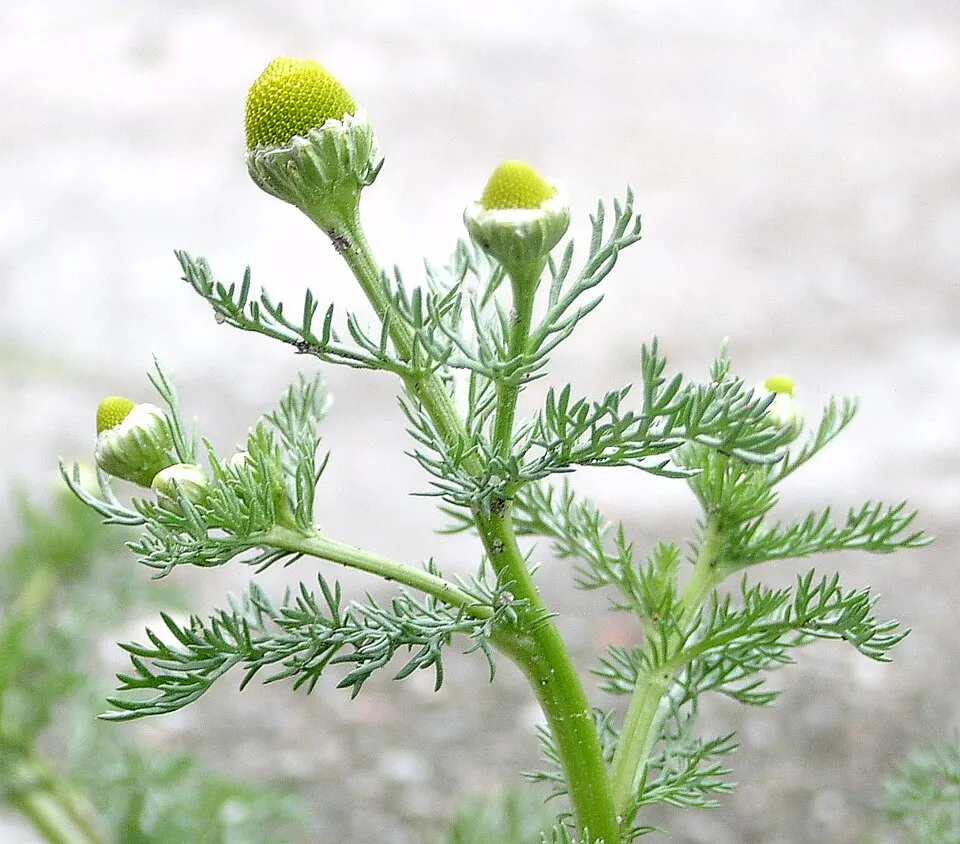 Pineappleweed
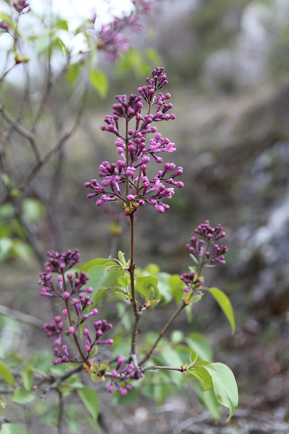 Common Lilac
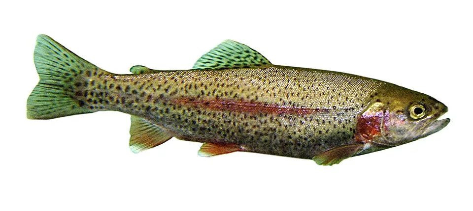 Rainbow trout
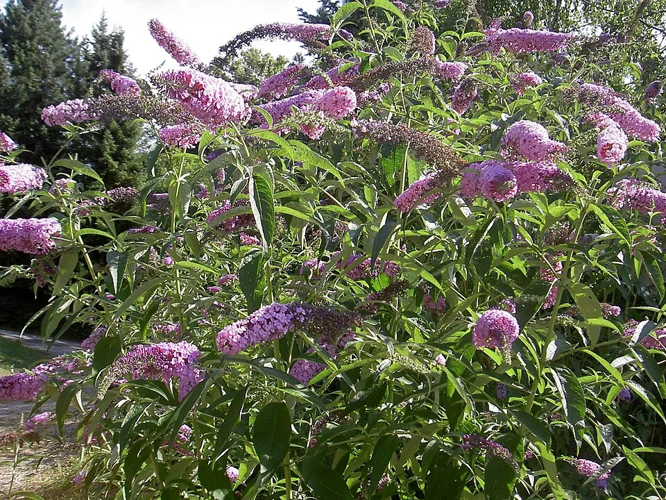 Butterfly-bush
Asian Lady Beetle
 Common Evening-primrose
Photos: Himalayan Balsam © Guptaele · CC BY-SA 4.0; Japanese rose © Vihljun · Public domain; Pineappleweed © Krzysztof Ziarnek · CC BY-SA 3.0; Common Lilac © Aporia.j · CC BY-SA 4.0; Rainbow trout © Jonathunder · CC BY-SA 3.0; Butterfly-bush © --IKAl 15:22, 23 July 2007 (UTC) · CC BY-SA 2.5; Common Evening-primrose © Georg Slickers · CC BY-SA 4.0
Sources: Global Forest Change (Hansen et al., University of Maryland, via Global Forest Watch, CC-BY 4.0); EFFIS, European Commission / Copernicus; NASA Black Marble 2016 (public domain); CORINE Land Cover 2018 (Copernicus) or MODIS.
CORINE Land Cover Change 1990–2018: generated using European Union's Copernicus Land Monitoring Service information (EEA), aggregated by Parkavela; DOI 10.2909/f30f1000-7cf8-43bb-872c-5eb093911b24.
Ecological status of water bodies: European Environment Agency, WISE – Water Framework Directive, 3rd river basin management plans (2022), CC BY 4.0. Official national classification, not comparable between countries.
Invasive alien species: Global Register of Introduced and Invasive Species (ISSG, CC BY 4.0); Union list, Regulation (EU) 1143/2014 (INBO, CC0); GBIF.org records (CC0 / CC BY 4.0), at least 2 per species.
Practical information
Cities and airport
- Bolzano
36 km as the crow flies - Trento
44 km as the crow flies - Airport: Bergamo-Il Caravaggio (BGY)
84 km as the crow flies
Visitor information
- Parco Nazionale dello Stelvio
within the site - Consorzio Turistico Pejo 3000
within the site - Ufficio Informazioni Val di Pejo
within the site - Proloco Valfurva
within the site
Parking
216 public car parks listed within the site
Parkplatz zur Berghütte Zufall-HütteP3 Zum SeeWeißbrunnsee - Fontana BiancaWanderparkplatz
Things to see
78 viewpoints · 42 waterfalls · 94 lakes and ponds · 8 caves · 79 glaciers
- Auf dem Gelenk
viewpoint · 2,450 m - Cascate Ragaiolo
waterfall · 1,583 m - Laghetti di Pietra Rossa
lake or pond · 2,585 m - Campo di battaglia Shelter
cave - Ebenferner - Vedreta Piana
glacier
Where to stay
49 mountain huts · 4 campsites
- Bivacco L. Pellicioli
Unstaffed hut · 3,230 m - Area di sosta "Al Plan"
campsite - Martellerhütte - Rifugio Martello
Staffed hut · 2,610 m - Camping Cima Piazzi
campsite - Nuovo Bivacco Costantini
Unstaffed hut · 2,360 m
Hiking
530 waymarked routes listed, including:
Sentiero della PaceUltner HöhenwegAlta Via Camuna
Trail difficulty
- T1 · easy hiking · 15% · 174 km
- T2 · mountain hiking · 50% · 689 km
- T3–T6 · demanding or alpine hiking · 35% · 453 km
1,316 km graded out of 2,131 km of paths
SAC scale (T1–T6) © OpenStreetMap contributors (ODbL): indicative only, check with the park.
By bike
Via Claudia Augusta · 4 km2 Etschradroute - Via Claudia Augusta · 4 kmPCIR 3 PCIR 3 - Adda · 6 kmVal Venosta bicycle track · 4 km
Signed cycle routes: this does not mean that cycling is allowed on footpaths.
Data © OpenStreetMap contributors (ODbL) · Wikidata (CC0)
Routes © OpenStreetMap contributors (ODbL), via Waymarked Trails
Waymarked hiking routes
12 Ultner Höhenweg
17.9 km within the site ↗ 1,010 m↘ 1,144 m 2,045–2,732 m
up to T2 · mountain hiking
102 Alta Via Camuna
37.7 km within the site ↗ 2,597 m↘ 2,423 m 1,396–3,066 m
up to T5 · demanding alpine hiking faint path in places
Ciclovia dell'Energia - Percorso Verde
2.2 km within the site ↗ 24 m↘ 39 m 1,929–1,955 m
CMA Cammino Mariano delle Alpi - Via Orientale - Tappa 2
7.4 km within the site ↗ 55 m↘ 184 m 961–1,119 m
CMA Cammino Mariano delle Alpi - Via Orientale - Tappa 1
5.8 km within the site ↗ 329 m↘ 220 m 1,346–1,583 m
Ciclovia dell'Energia - Percorso Arancio
15.9 km within the site ↗ 1,028 m↘ 250 m 1,370–2,171 m
Tracks © OpenStreetMap contributors (ODbL), clipped to the boundary; elevation gain and profiles computed on the longest section from Mapzen Terrain Tiles (≈ 30 m), indicative only. Indicative difficulty (SAC scale, OpenStreetMap, via Waymarked Trails): check with the park.
Access and visiting
The nearest railway station is Laas - Lasa, less than 1 km from the site boundary. Nearest towns of over 50,000 people, as the crow flies: Bolzano (36 km) and Trento (44 km). Nearest airport: Bergamo-Il Caravaggio (BGY), about 84 km away. About 170,000 people live within 20 km of the site boundary, 84,000 of them within 10 km; some 8,500 people are estimated to live inside (GHSL estimate, 2020). Visitor information on site: Parco Nazionale dello Stelvio, Consorzio Turistico Pejo 3000 and Ufficio Informazioni Val di Pejo. Public car parks listed within the site: 216, including Parkplatz zur Berghütte Zufall-Hütte, P3 Zum See and Weißbrunnsee - Fontana Bianca. Waymarked hiking routes listed in OpenStreetMap: 530, including Sentiero della Pace, Ultner Höhenweg and Alta Via Camuna. Of the roughly 1,320 km of paths with a difficulty grade in OpenStreetMap, 15% are easy hiking (T1), 50% mountain hiking (T2) and 35% demanding or alpine hiking (T3–T6). This is indicative only: check with the park. The site is crossed by 4 signed cycle routes, including “Via Claudia Augusta” and “2 Etschradroute - Via Claudia Augusta” (OpenStreetMap). To see: 78 viewpoints, 42 waterfalls, 94 lakes and ponds, 8 caves and 79 glaciers, including Auf dem Gelenk (2,450 m), Cascate Ragaiolo (1,583 m), Laghetti di Pietra Rossa (2,585 m) and Campo di battaglia Shelter. Where to stay: 49 mountain huts and 4 campsites, including Bivacco L. Pellicioli (3,230 m), Area di sosta "Al Plan" and Martellerhütte - Rifugio Martello (2,610 m). To plan a visit (access, opening periods, visitor rules), it is best to consult the official information from the managing body and the official website listed in this page's sources.
Source: OpenStreetMap (ODbL), Wikidata (CC0), October 2026.
Built heritage
According to Wikidata, 18 monuments protected as Italian national cultural heritage stand within the boundary. Among them are 6 religious buildings, 6 houses and civic buildings and 4 castles and fortifications. Examples include “Saints Philip and James church” in Peio, “Tschenglsberg” in Lasa and “Punta Linke” in Peio.
6 religious buildings6 houses and civic buildings4 castles and fortifications1 prehistoric or archaeological site
-
Saints Philip and James church
Peio -
Tschenglsberg
Lasa -
Punta Linke
Peio -
QC Terme Grand Hotel Bagni Nuovi
Valdidentro -
Bagni Vecchi
Valdidentro -
Santissima Trinità
Valfurva -
Torri di Fraele
Valdidentro -
Messner Mountain Museum Ortles
Stelvio · 21st c.
and 10 more
Source: Wikidata (CC0), monuments in each country’s official heritage protection registers, at national or regional level. Each item links to its Wikidata entry.
When to visit
Mildest period: from June to August, with average temperatures of 7 to 10 °C. Average temperatures drop below 0 °C from November to April: frost is common. These averages apply to the site's representative point (2,436 m); higher up it is markedly cooler and snow lasts longer. According to NASA's MODIS satellites (2015–2025 average), snow covers most of the site from November to May, and until June on higher ground, with about 205 snow-covered days a year on average. Permanent snow remains on the summits even in midsummer. Day length ranges from about 8 h 36 min in December to 15 h 48 min in June. Wildlife records published on GBIF peak for birds (December and January), plants (July), butterflies and moths (July), dragonflies (July) and mammals (from July to September). These peaks also reflect when observers are most active.
Source: Copernicus ERA5-Land (C3S), monthly averages 1996–2025 at the representative point, temperatures adjusted for elevation.
Contains modified Copernicus Climate Change Service information 2026. Neither the European Commission nor ECMWF is responsible for any use that may be made of the Copernicus information or data it contains.
Wildlife records calendar
JFMAMJJASOND
Birds
Plants
Butterflies & moths
Dragonflies
Mammals
Monthly records published on GBIF (CC-BY), relative to the busiest month; also reflects observer activity.
Gallery
© Elch33 · CC BY-SA 3.0
© Dominicus Johannes Bergsma · CC BY-SA 4.0
© Agnes Monkelbaan · CC BY-SA 4.0
© Friedrich Haag · CC BY-SA 4.0
© Agnes Monkelbaan · CC BY-SA 4.0
© Dominicus Johannes Bergsma · CC BY-SA 4.0
Sources and licences
- Wikidata: Q1891711
- OpenStreetMap: relation 300032
- Official website: http://www.stelviopark.it/
- Wikipedia: en.wikipedia.org/wiki/Stelvio_National_Park
- Natura 2000: IT2040044
- WDPA: 717
References
- cds.climate.copernicus.eu: climate · CC-BY-4.0
- registry.opendata.aws: elevation of the reference point, detailed relief · PD
- doi.org: glaciers, population around the site · CC-BY-4.0
- land.copernicus.eu: land cover, land cover change, sea share · COPERNICUS
- wikidata.org: official area, establishment date, protected heritage, nearby cities and airport, access and peaks, lake depths, places to see, official website · CC0-1.0
- eea.europa.eu: bathing water quality, ecological status of waters · CC-BY-4.0
- en.eurovelo.com: EuroVelo cycle routes · ODbL-1.0
- cycling.waymarkedtrails.org: cycle routes · ODbL-1.0
- opentopodata.org: elevations · PD
- forest-fire.emergency.copernicus.eu: wildfires · COPERNICUS
- globalforestwatch.org: tree cover loss · CC-BY-4.0
- gbif.org: seasonality of sightings, invasive alien species, observed species · CC-BY-4.0
- europe-geology.eu: geology · CC-BY-4.0
- hydrosheds.org: lakes · CC-BY-4.0
- natura2000.eea.europa.eu: Natura 2000 habitats and species · CC-BY-4.0
- openstreetmap.org: official name, access and peaks, places to see, trail difficulty, wheelchair access · ODbL-1.0
- earthobservatory.nasa.gov: night light · PD
- hiking.waymarkedtrails.org: route difficulty · ODbL-1.0
- nsidc.org: snow cover · PD
- wikidata.org: Wikipedia article · CC-BY-SA-4.0
Data © OpenStreetMap contributors (ODbL), Wikidata (CC0) and the sources cited.