
Fungus
Tube lichen: where to see it
Hypogymnia physodes
This fungus species is recorded in 11 protected areas of the atlas. Within the atlas countries, it is mostly observed in the United Kingdom, Sweden and Norway (13 countries in all). Most records (8 in 10) lie between sea level and 1,750 m. Records peak from March to October.
Best time to see it: March–October
Records published on GBIF by month (CC0 and CC BY 4.0 licences only), in the atlas countries, all years combined; they also reflect observer activity.
Distribution
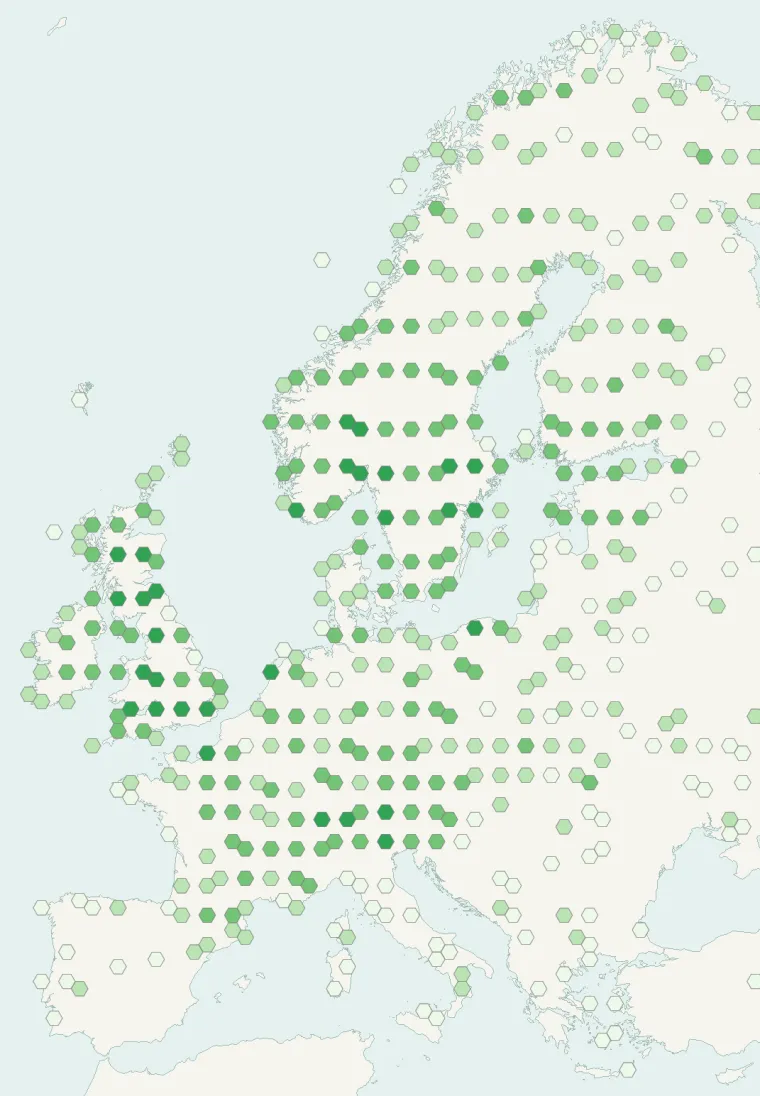
Records published on GBIF (CC0 and CC BY 4.0 licences): the darker the shade, the more records there are; they also reflect observation effort.
From Wikipedia
Hypogymnia physodes, commonly known as the monk's-hood lichen, is a species of foliose lichen in the family Parmeliaceae. It is a common and widespread species in boreal and temperate forests of the Northern Hemisphere. It has a grey to yellowish-green thallus that is loosely attached to its substrate and forms large irregular patches. Hollow lobes are 2–3mm wide. The outer edge turns up and is frequently covered with white powdery soredia underneath. Its lower surface is black, wrinkled and has some browning toward the lobe margins.
Source: Wikipedia, article “Hypogymnia physodes” (version of December 31, 2025) · history and authors · licence CC BY-SA 4.0 · shortened excerpt
Protected areas where it is recorded
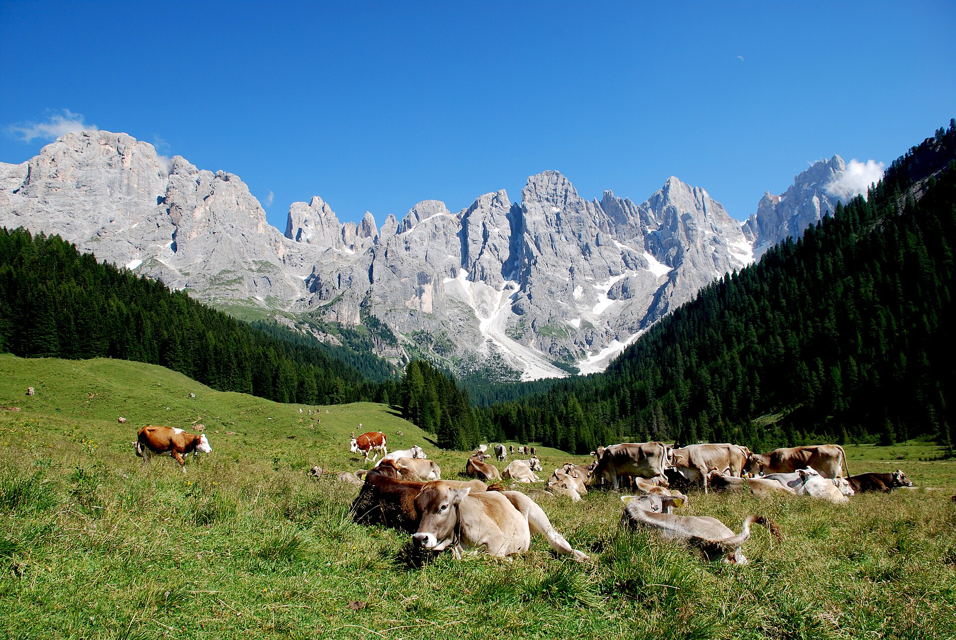
446 records
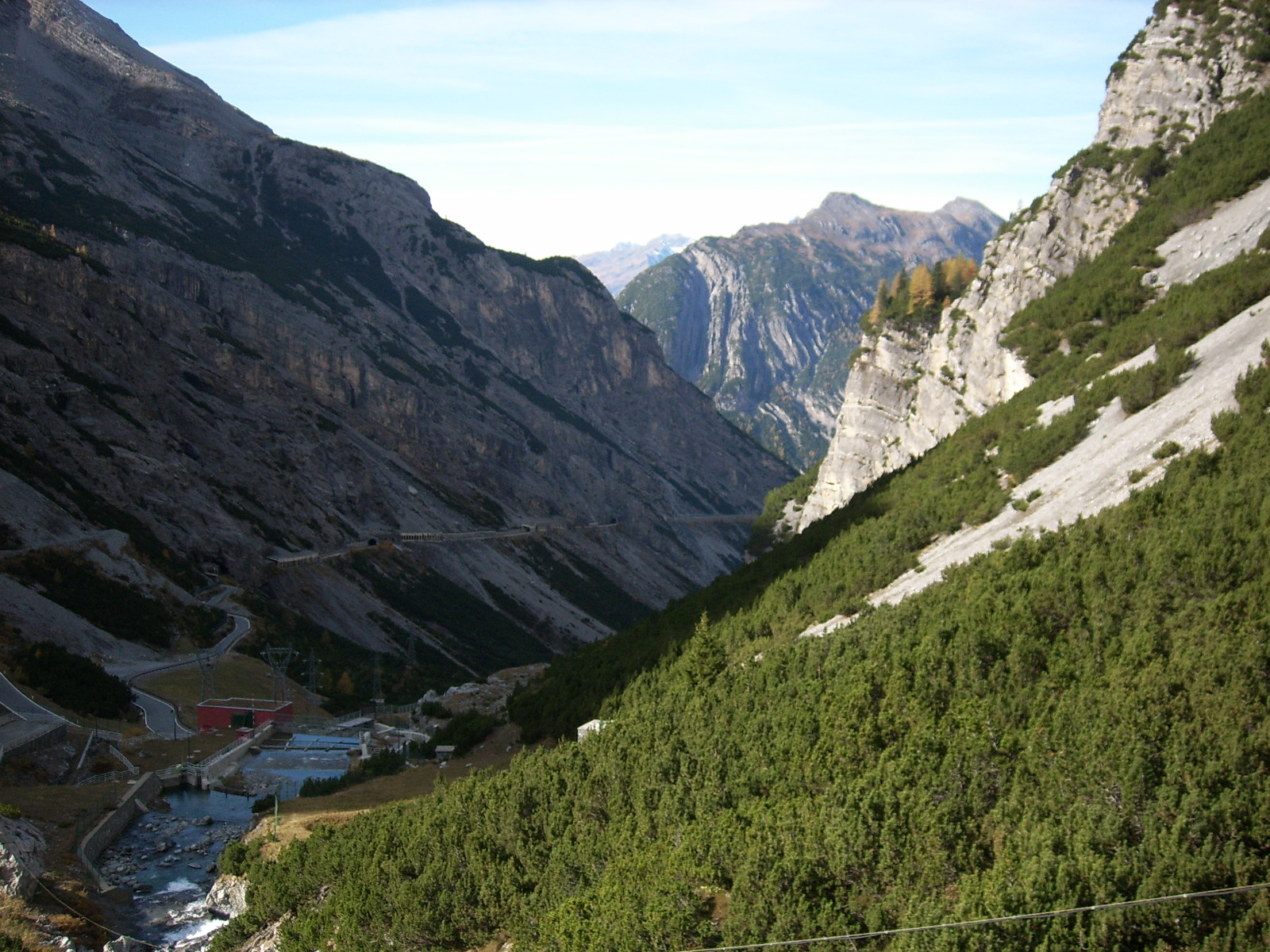
232 records
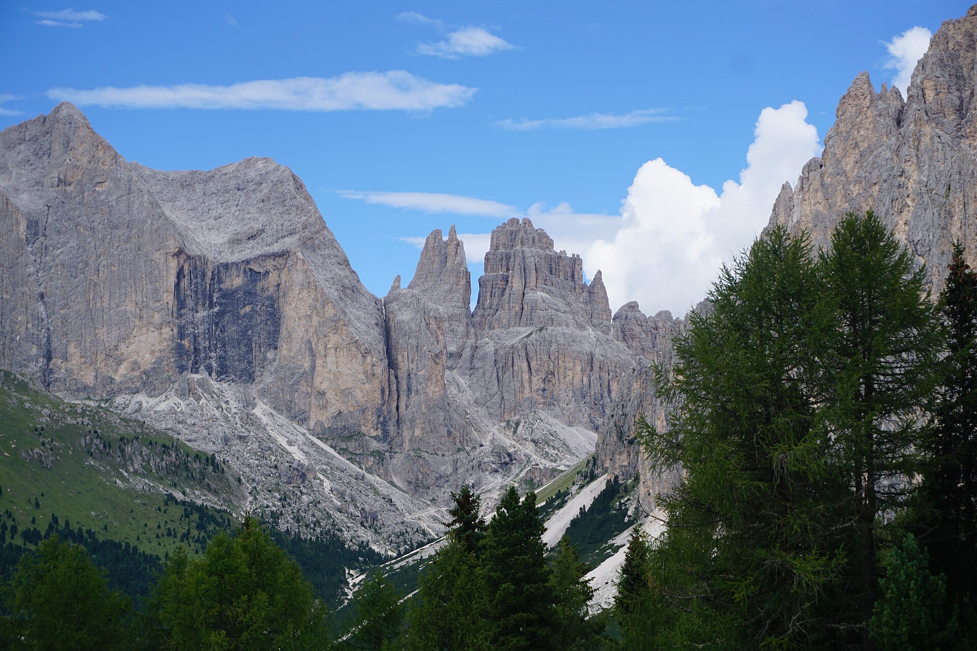
94 records
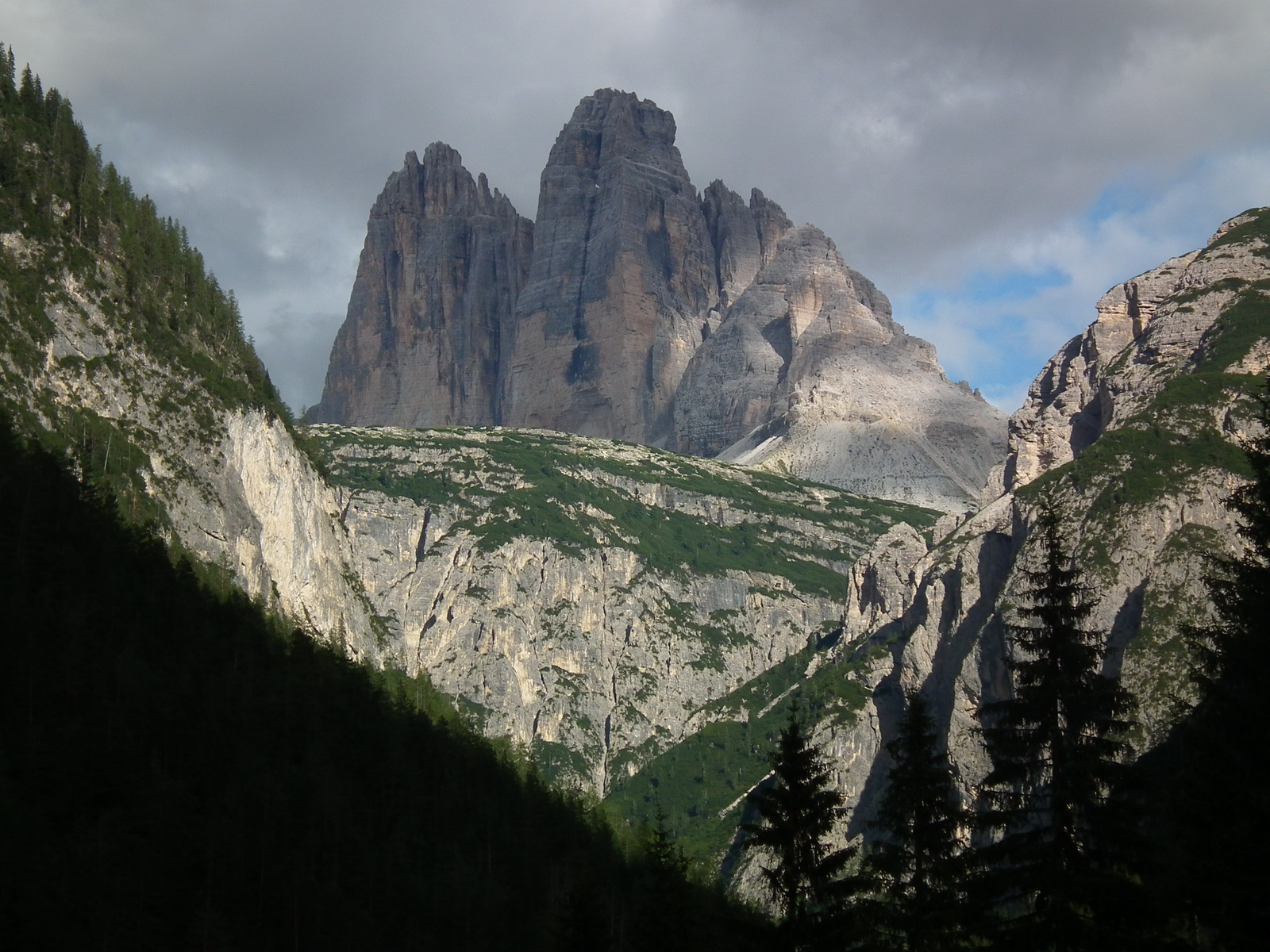
92 records
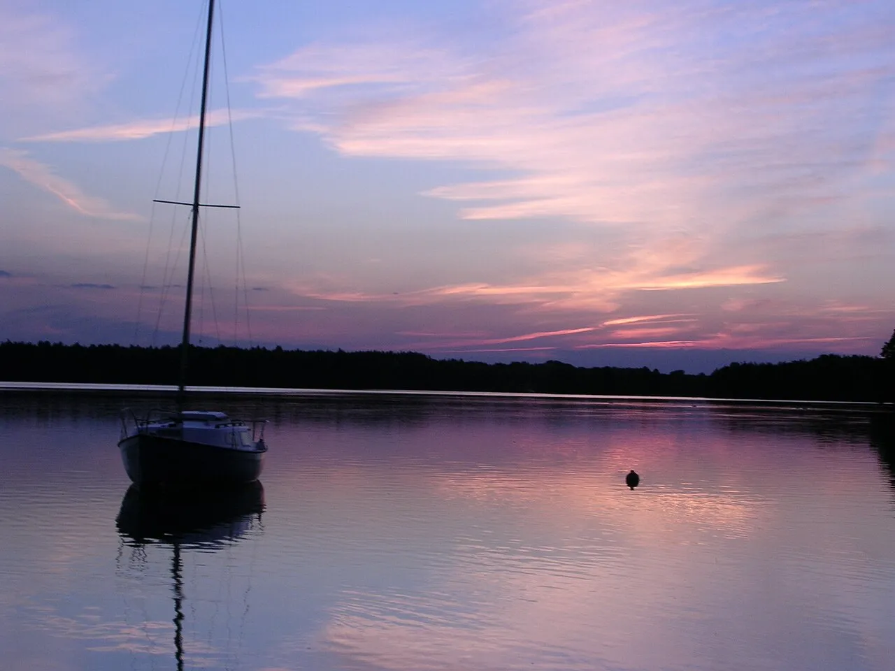
78 records
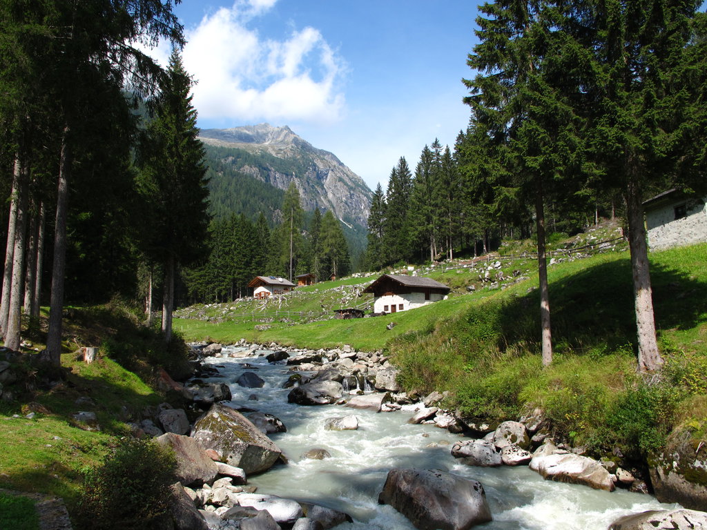
58 records
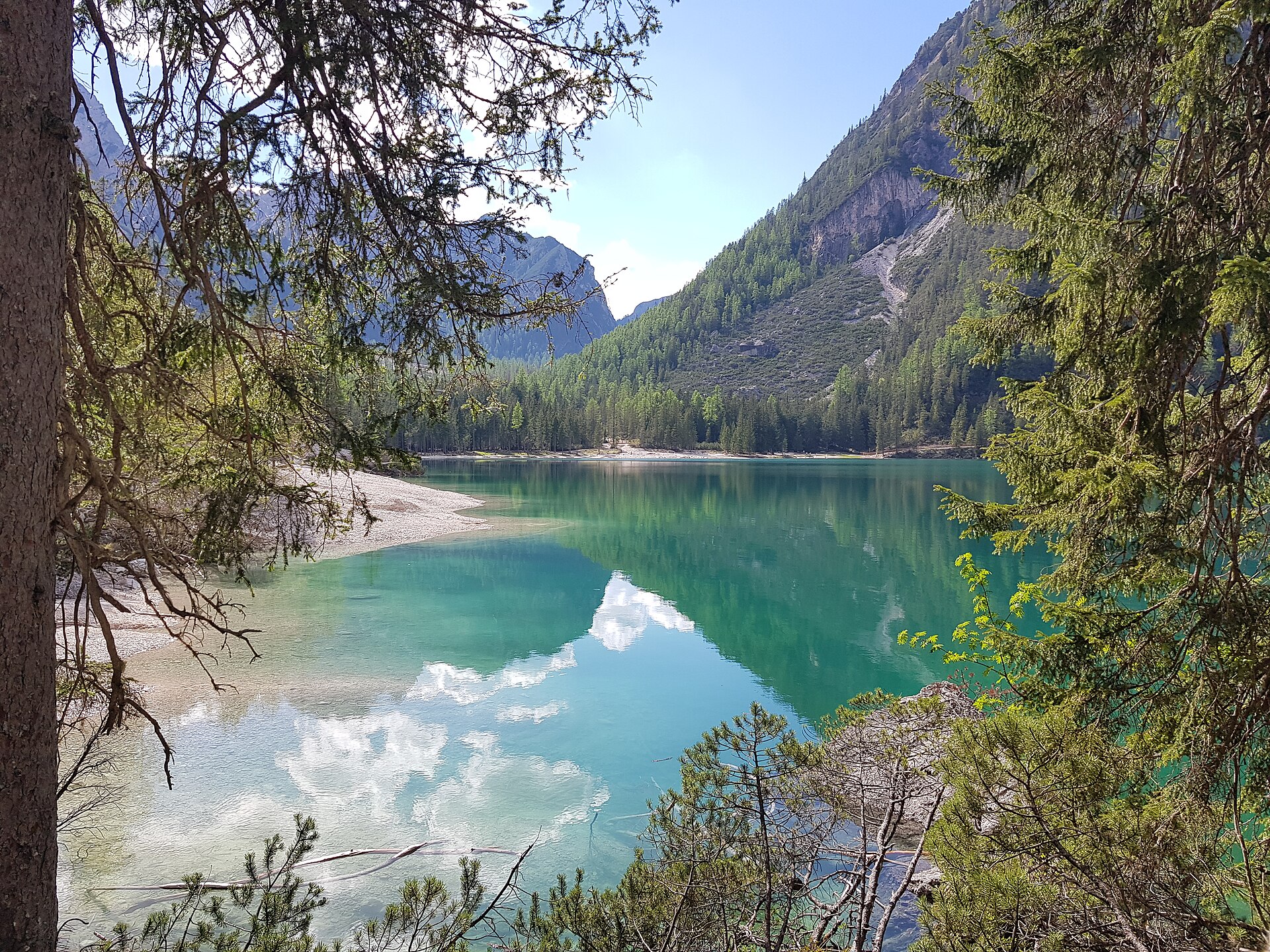
58 records
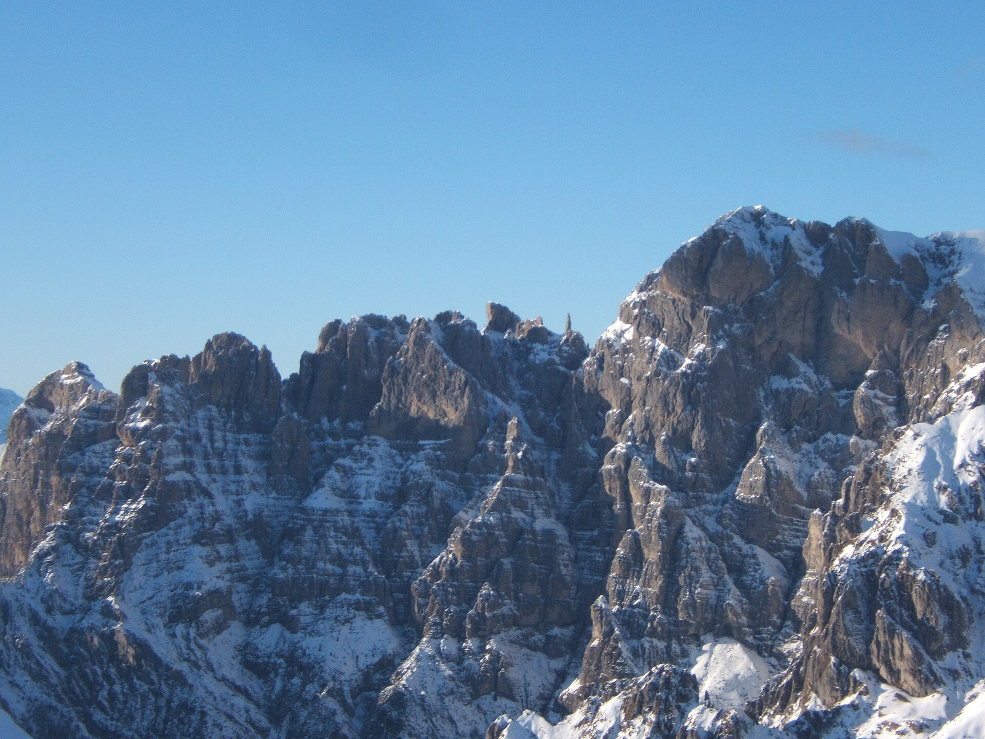
29 records

22 records
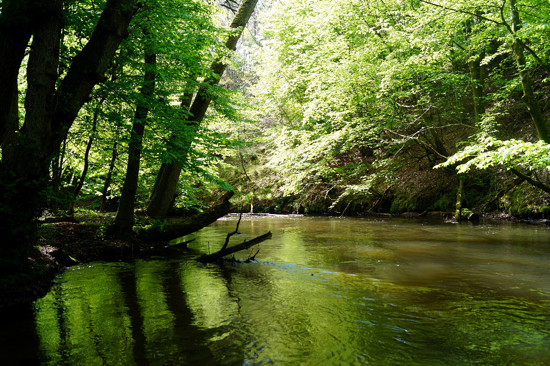
21 records

5 records
Other species to discover
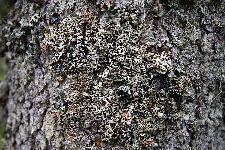 Powdered tube lichen
Hypogymnia bitteri Same genus
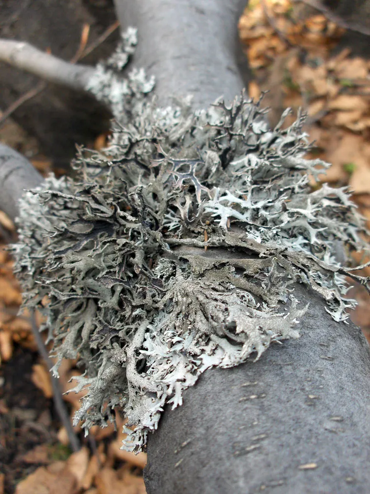 Tree Moss
Pseudevernia furfuracea 7 places in common
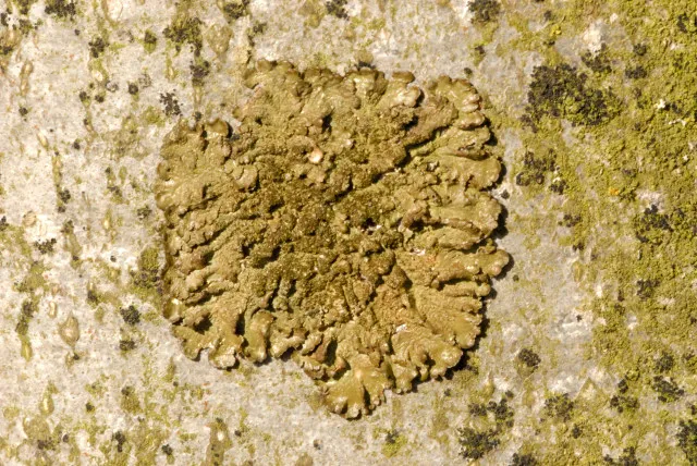 Ambiguous bran lichen
Parmeliopsis ambigua 5 places in common
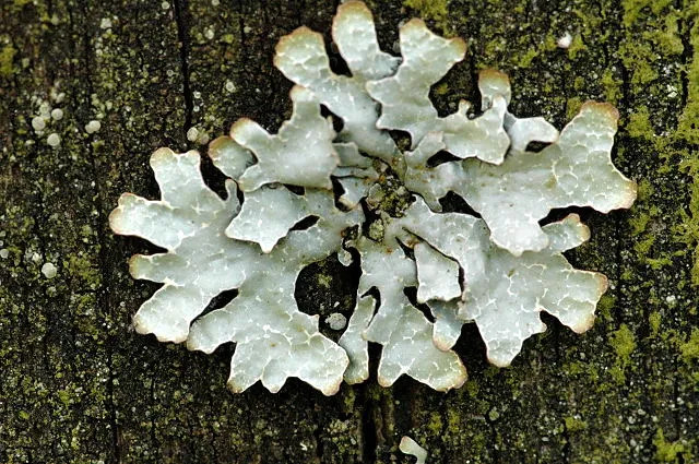 Shield lichen
Parmelia sulcata 5 places in common
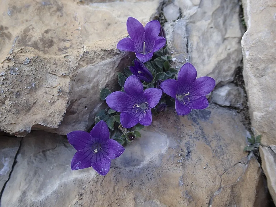 Moretti's bellflower
Campanula morettiana 5 places in common
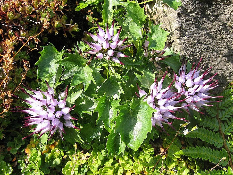 Tufted horned rampion
Physoplexis comosa 6 places in common
Sources and credits
- Presence: most-recorded species of each place on GBIF and species of Community interest in the Natura 2000 forms (EEA, CC-BY 4.0); absence from the list does not mean the species is absent.
- Common names: Wikidata (CC0) and GBIF.
- Photos and sounds: Wikimedia Commons, author and licence given for each file.
- Classification: GBIF Backbone Taxonomy (GBIF Secretariat), CC BY 4.0, doi:10.15468/39omei.
- Countries, elevations, months and maps: GBIF.org, CC0 or CC BY 4.0 occurrences only, accessed October 22, 2026, GBIF.org.
- Base map: Natural Earth (public domain).
- Excerpt: Wikipedia, CC BY-SA 4.0 (full credit below the excerpt).