
Bird
White-winged Snowfinch: where to see it
Montifringilla nivalis
This bird species is recorded in 25 protected areas of the atlas, including 20 whose official Natura 2000 form lists it. Within the atlas countries, it is mostly observed in France, Spain and Switzerland (7 countries in all). Most records (8 in 10) lie between 1,600 and 2,750 m above sea level. Records peak from June to August.
Best time to see it: June–August
Records published on GBIF by month (CC0 and CC BY 4.0 licences only), in the atlas countries, all years combined; they also reflect observer activity.
Key facts
- Clutch size
- 4.5 eggs on average Wikidata, after Jetz et al. 2008
- Incubation
- 13 days Wikidata, after Handbook of the Birds of the World
Distribution
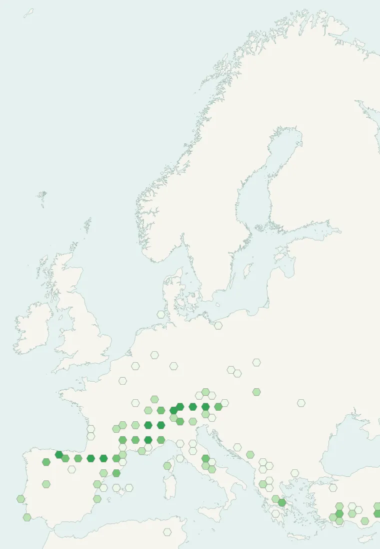
Records published on GBIF (CC0 and CC BY 4.0 licences): the darker the shade, the more records there are; they also reflect observation effort.
Atlas countries where it is recorded
From Wikipedia
The white-winged snowfinch (Montifringilla nivalis) is a small passerine bird. Despite its name, it is a sparrow rather than a true finch.
Source: Wikipedia, article “White-winged snowfinch” (version of August 5, 2026) · history and authors · licence CC BY-SA 4.0
Protected areas where it is recorded
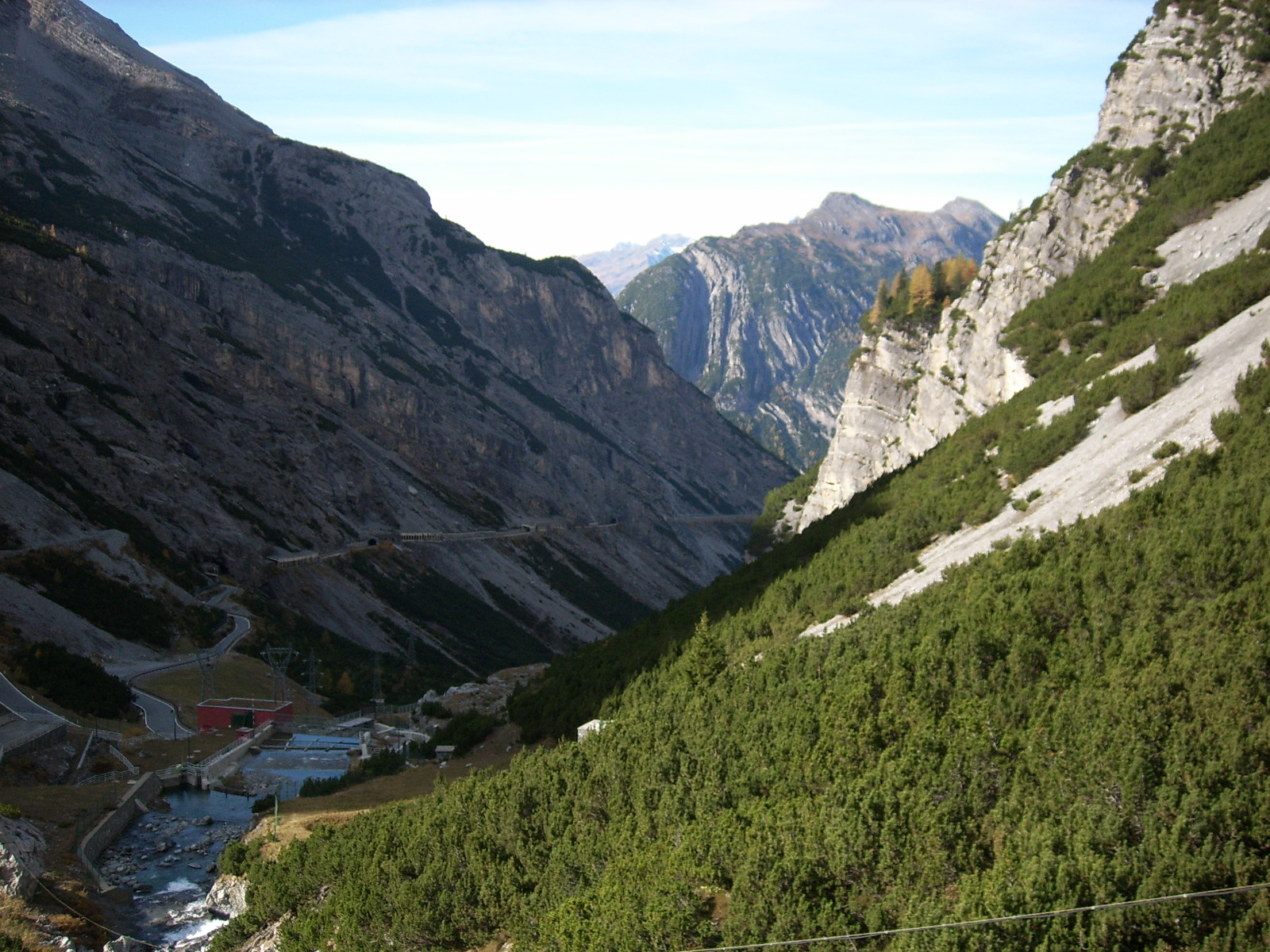
Natura 2000 · resident 125 records

Natura 2000 · resident 90 records
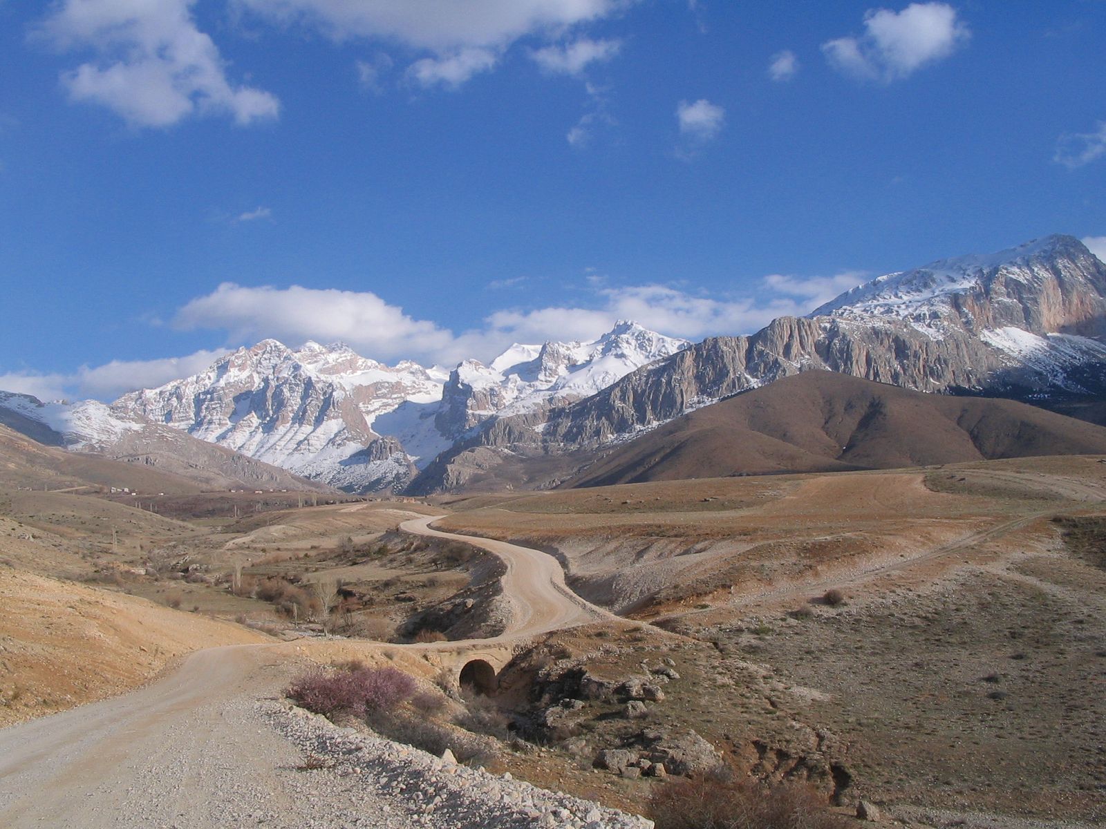
545 records

135 records

17 records
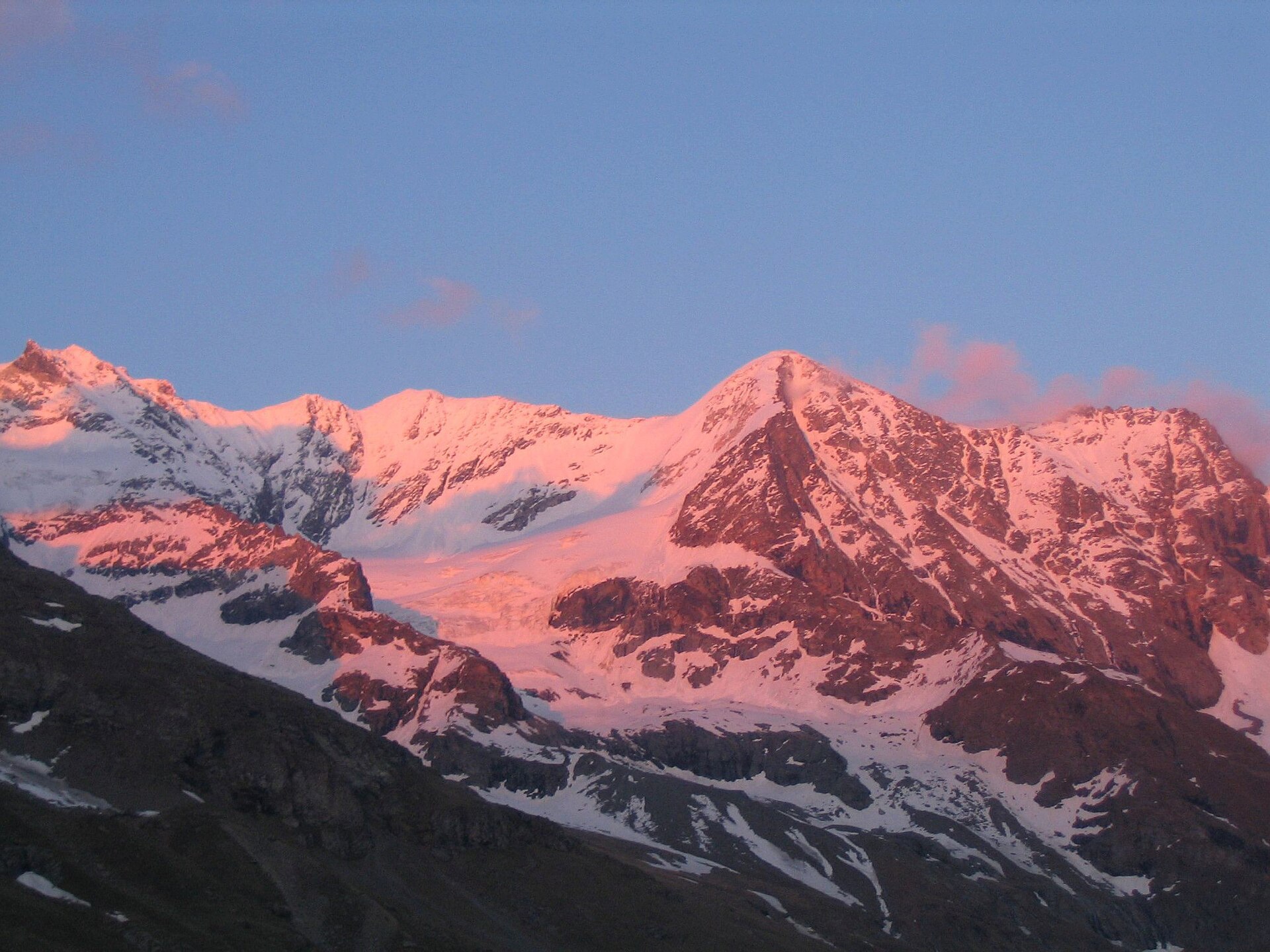
15 records
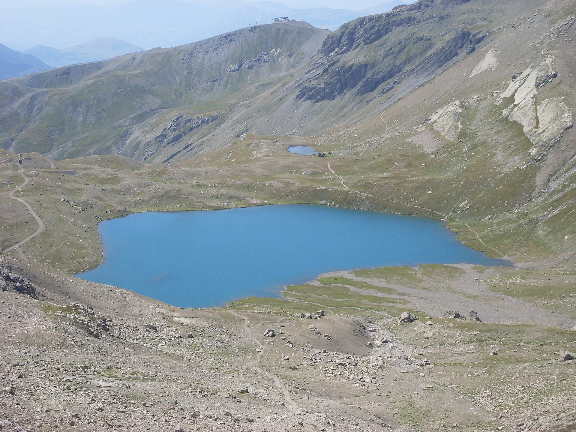
5 records

Natura 2000 · resident
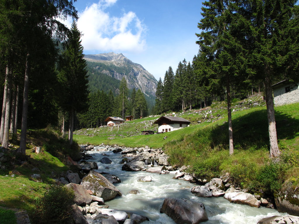
Natura 2000 · resident
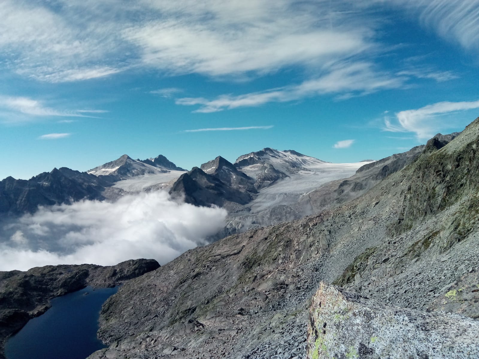
Natura 2000 · resident
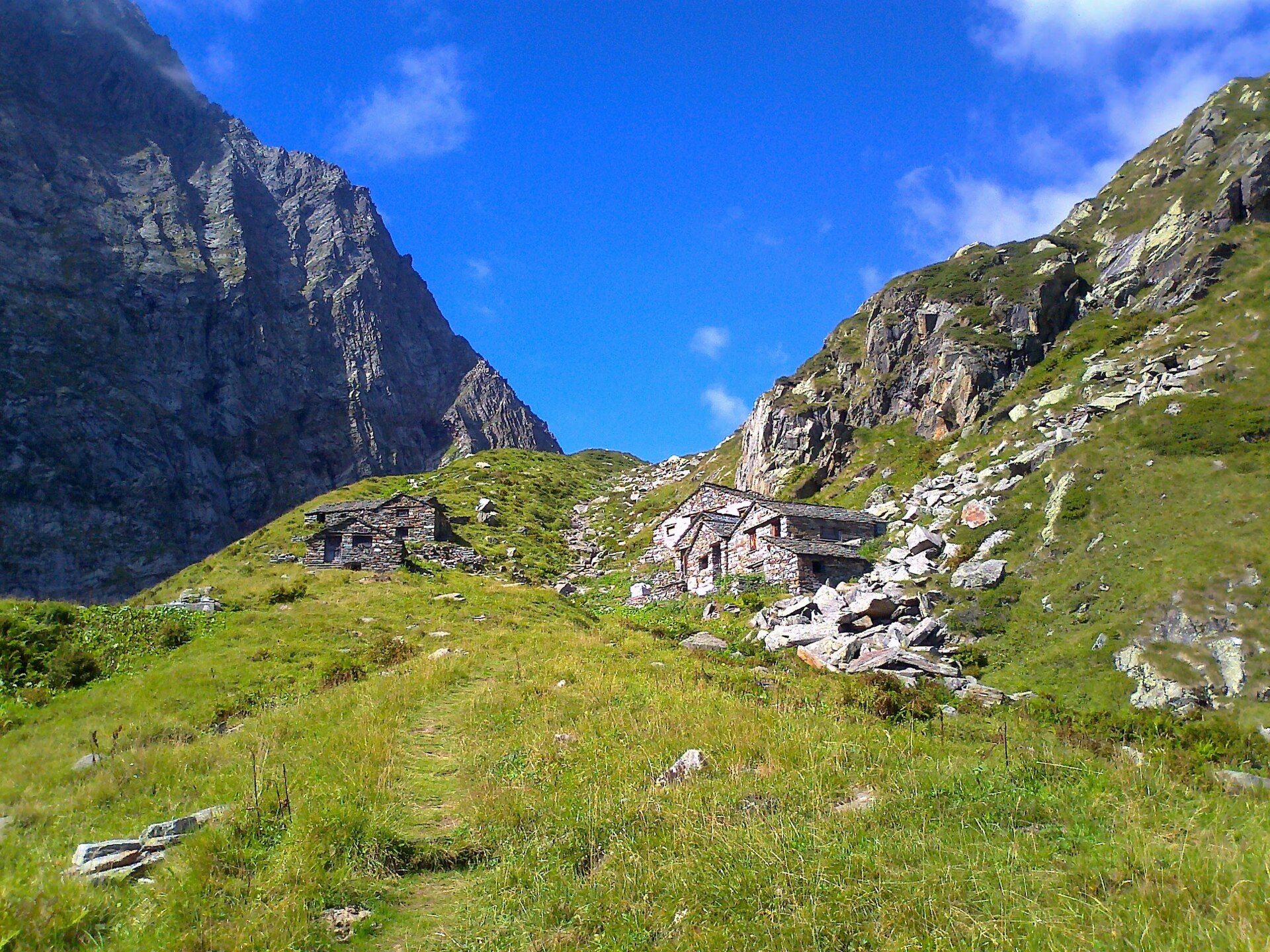
Natura 2000 · breeding
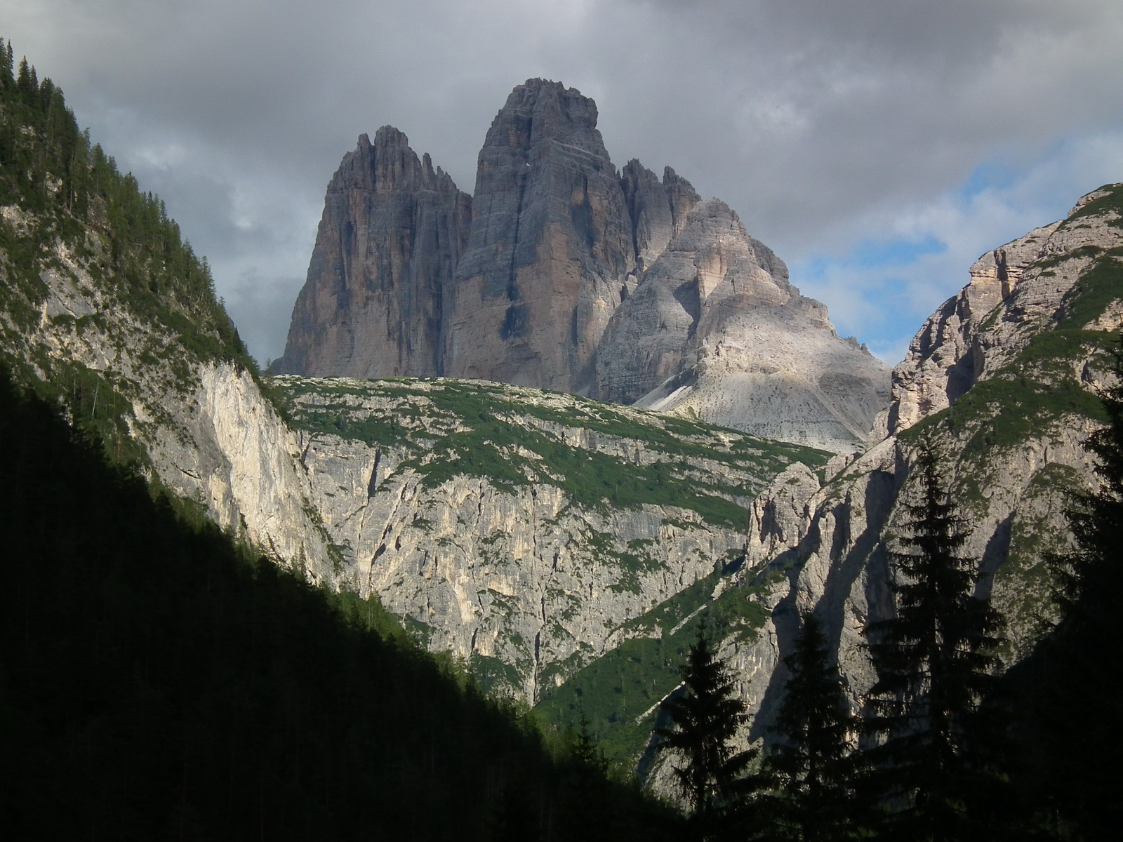
Natura 2000 · resident
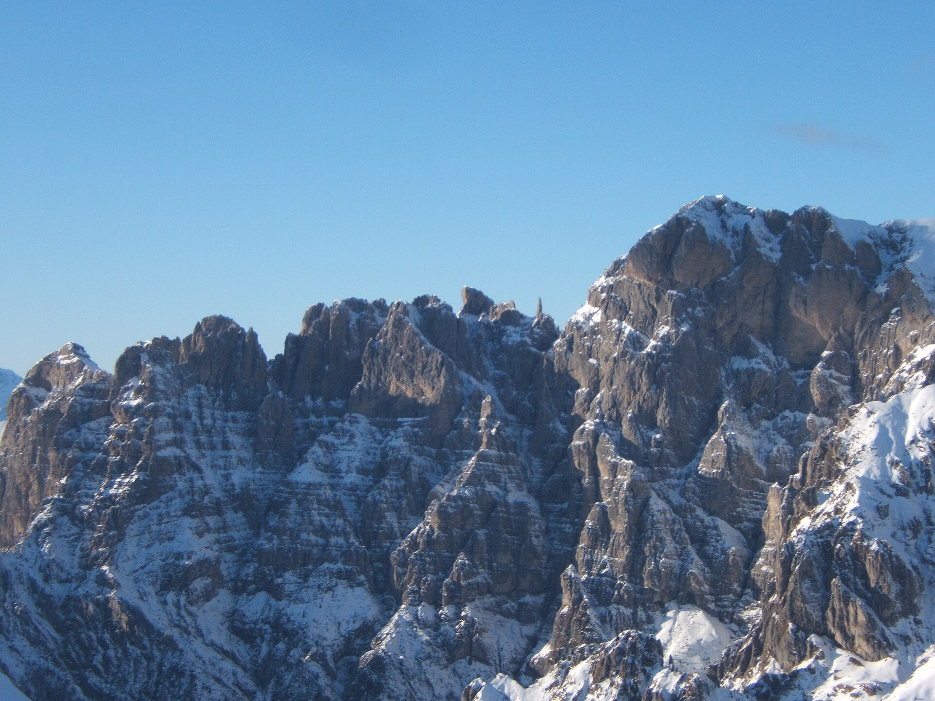
Natura 2000 · resident

Natura 2000 · resident
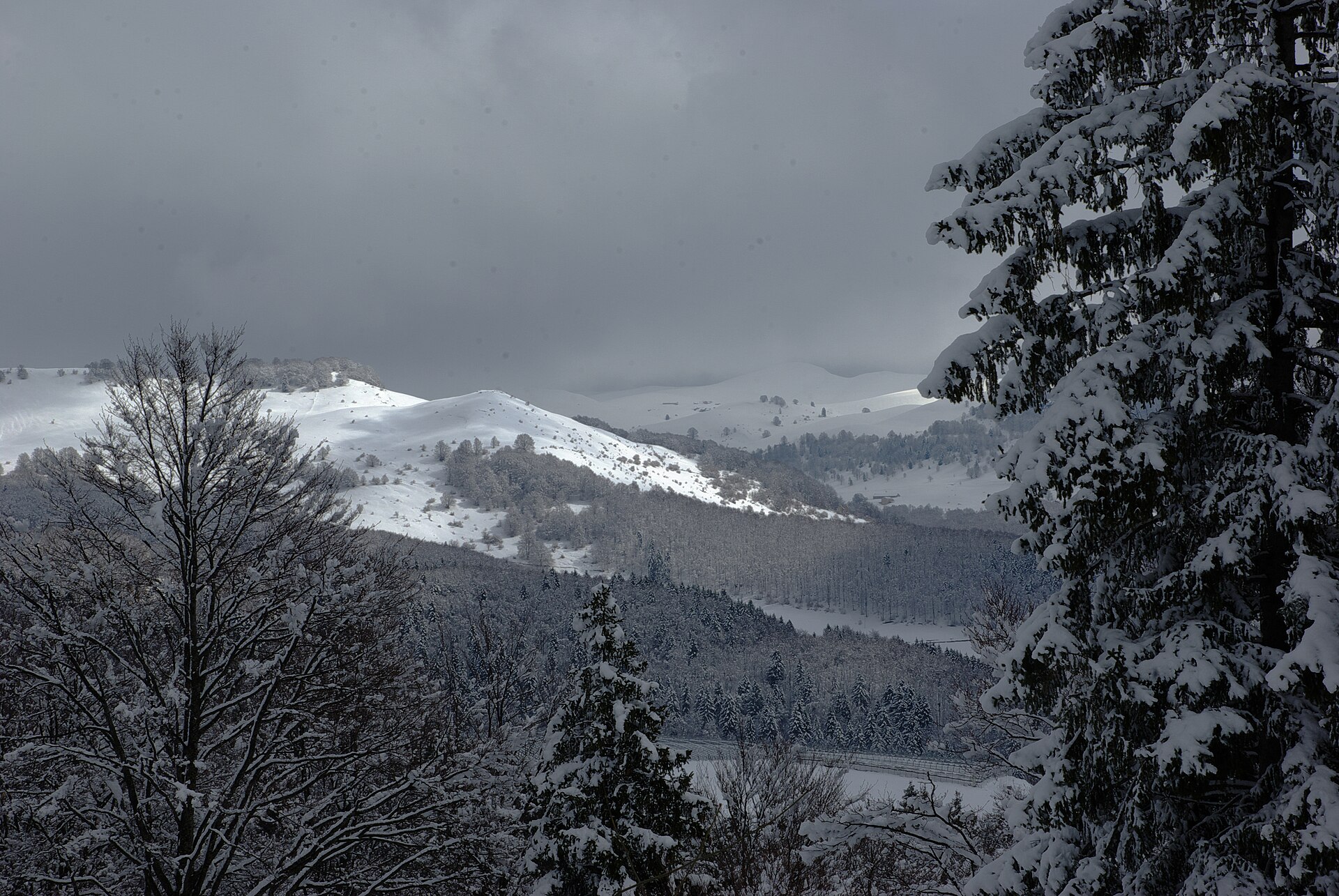
Natura 2000 · resident
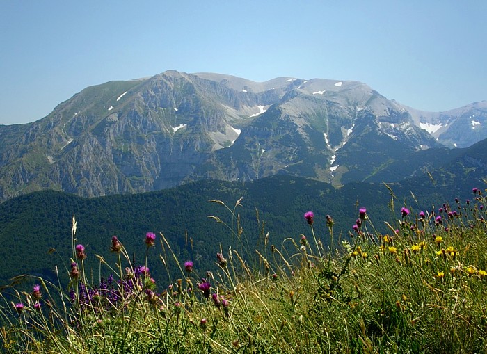
Natura 2000 · resident
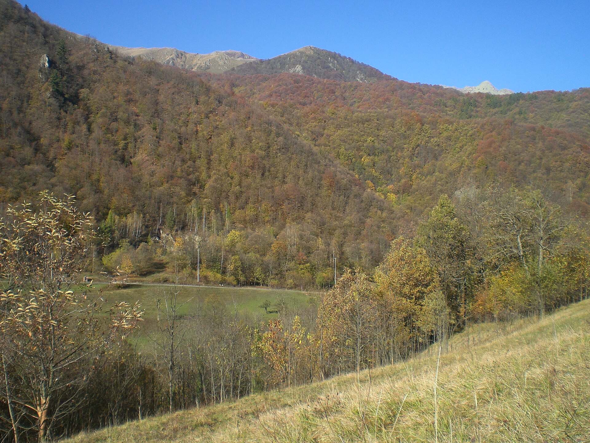
Natura 2000 · wintering, breeding
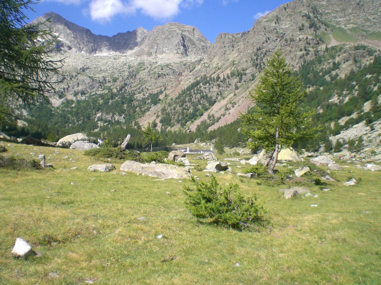
Natura 2000 · resident
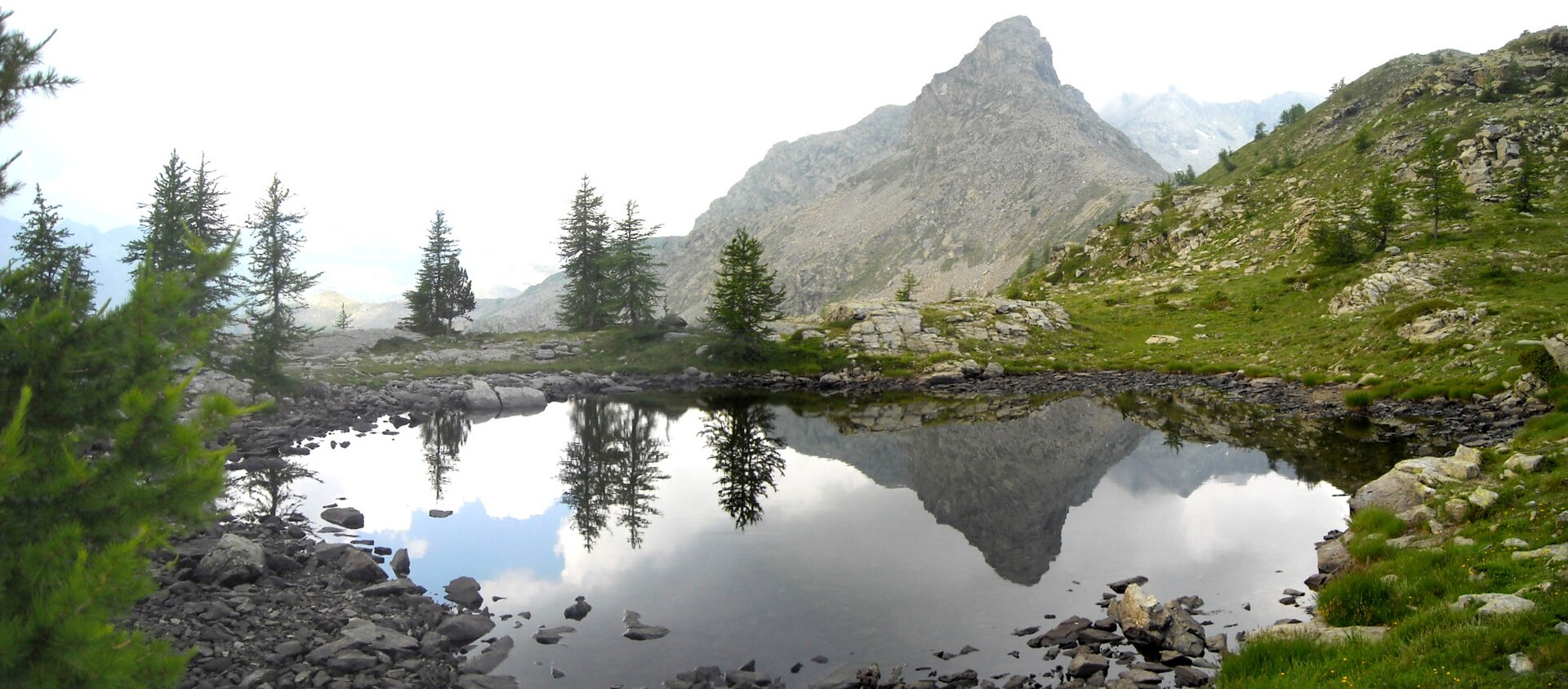
Natura 2000 · resident
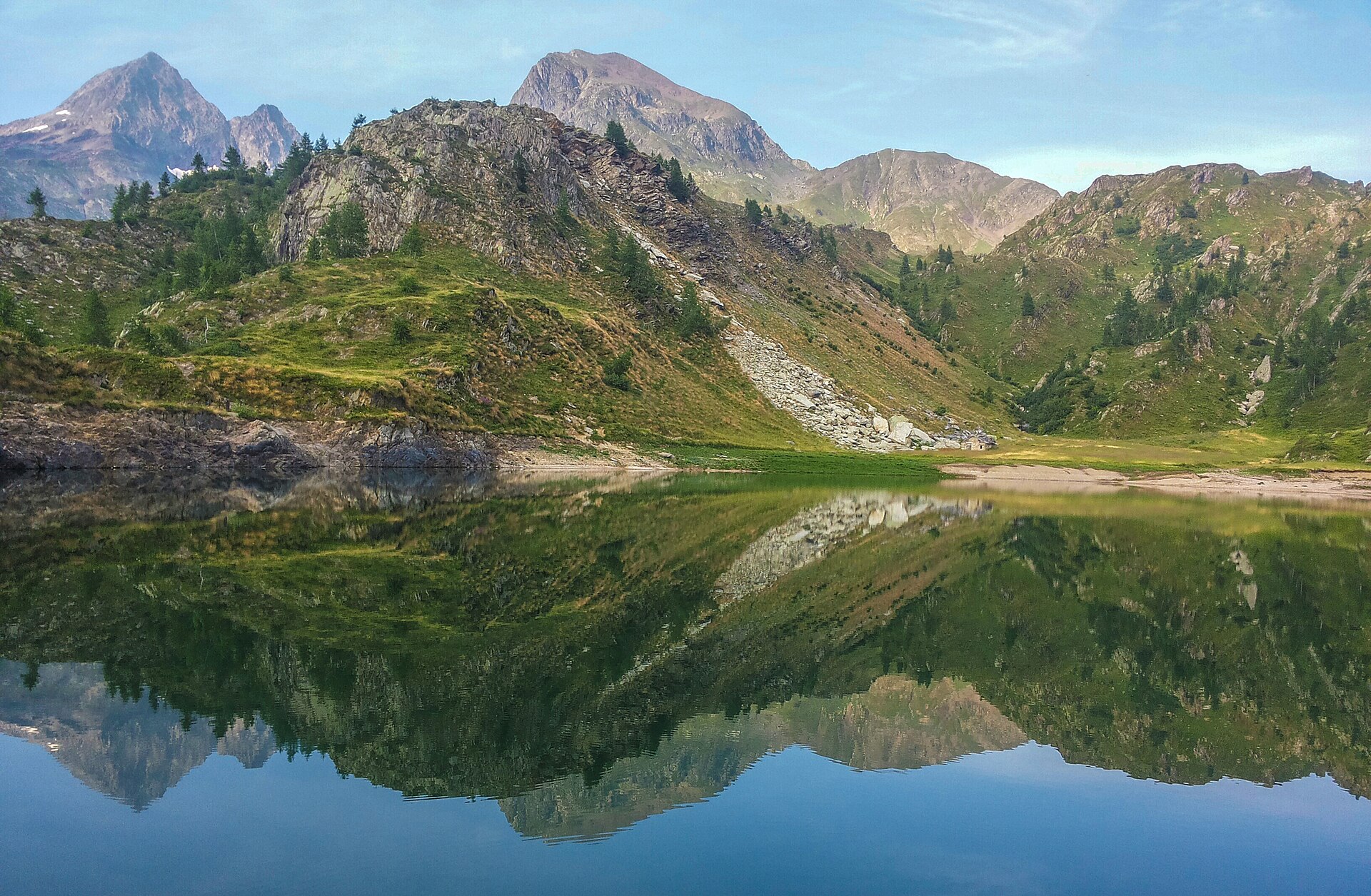
Natura 2000 · resident
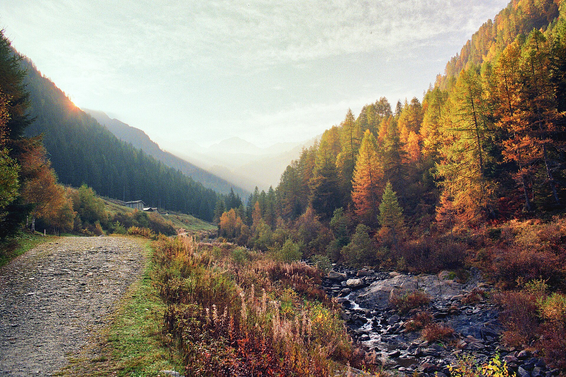
Natura 2000 · resident
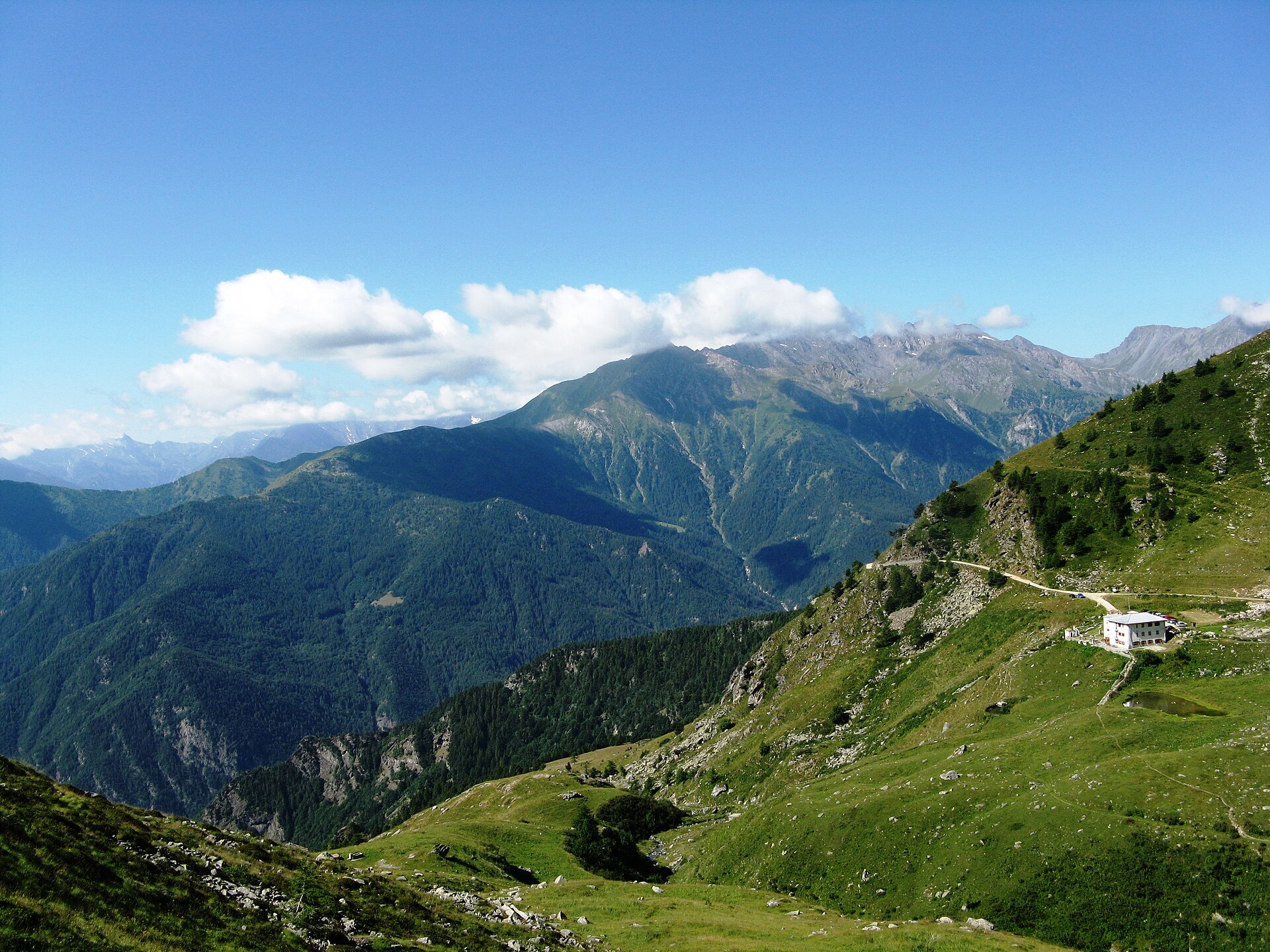
Natura 2000 · breeding, resident
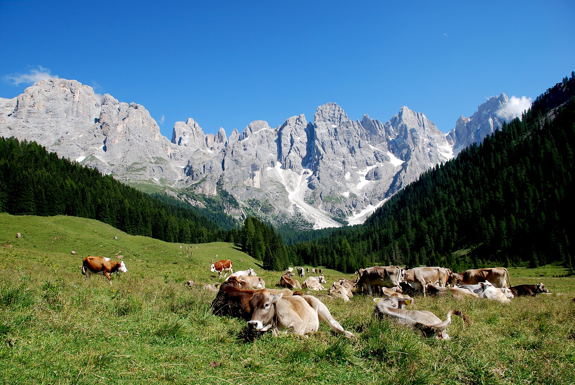
Natura 2000 · resident
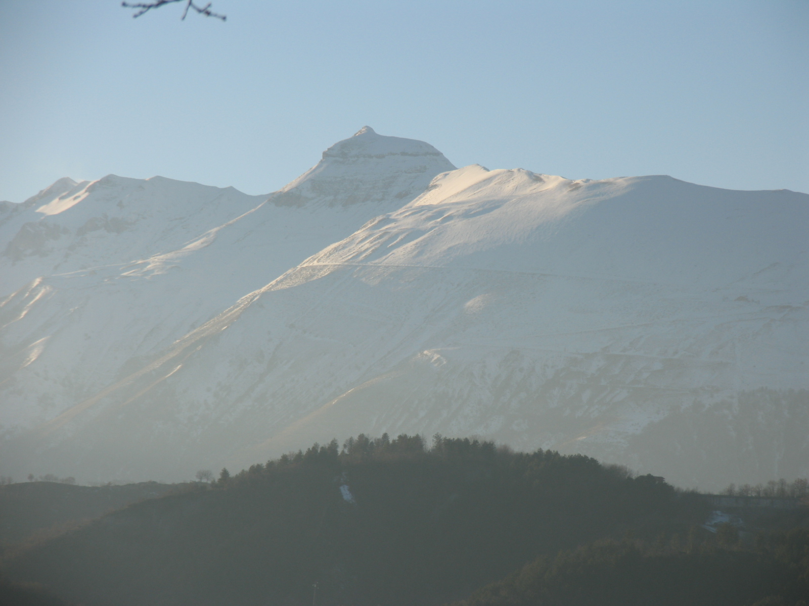
Natura 2000 · breeding
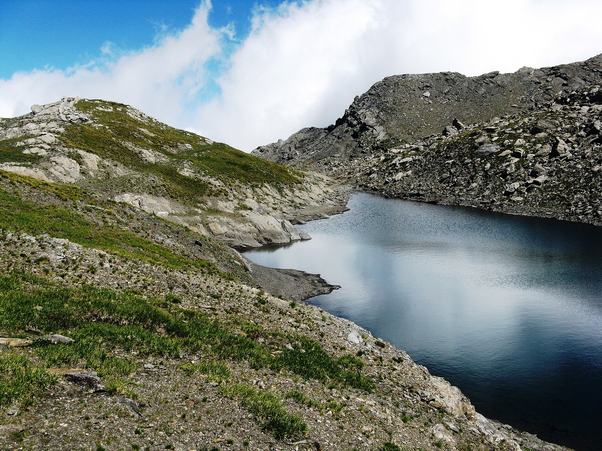
Natura 2000 · resident
Other species to discover
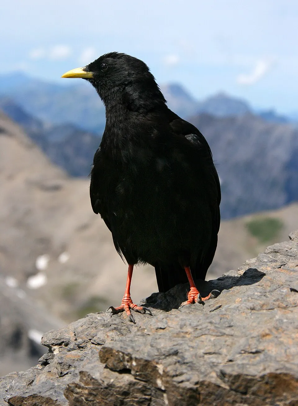 Alpine Chough
Pyrrhocorax graculus 21 places in common
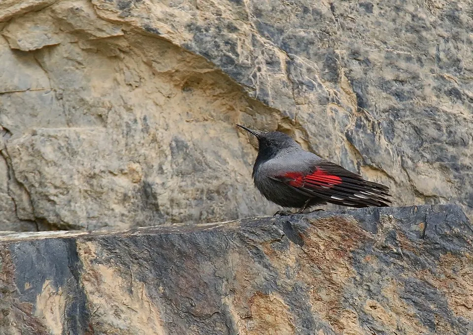 Wallcreeper
Tichodroma muraria 20 places in common
Rock Ptarmigan
Lagopus muta helvetica 16 places in common
Eurasian Black Grouse
Lyrurus tetrix tetrix 16 places in common
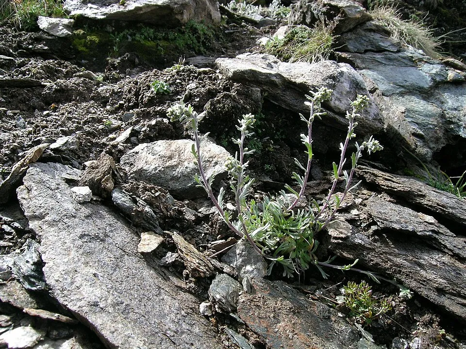 Black Wormwood
Artemisia genipi 11 places in common
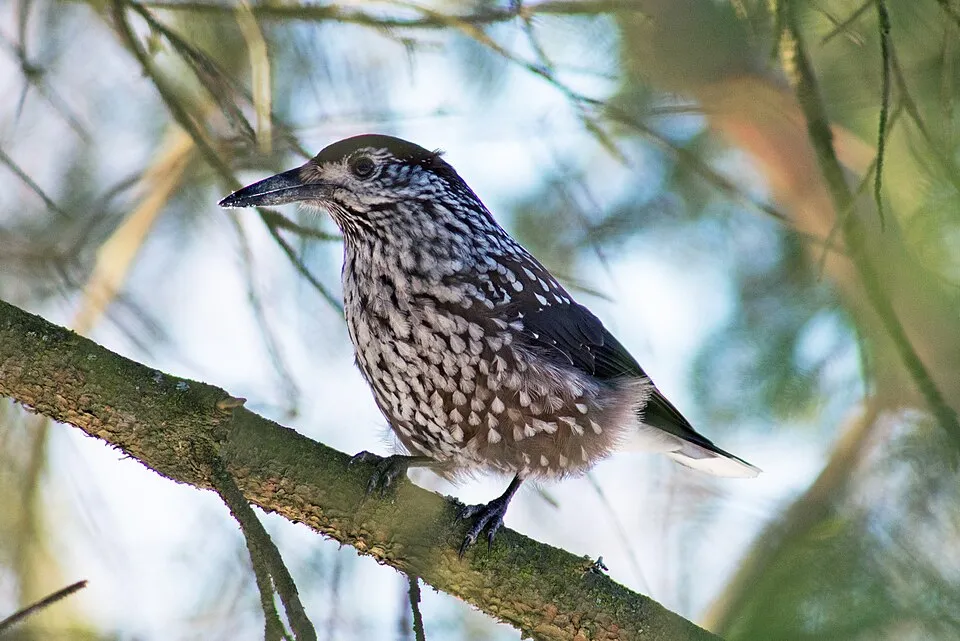 Northern Nutcracker
Nucifraga caryocatactes 15 places in common
Sources and credits
- Presence: most-recorded species of each place on GBIF and species of Community interest in the Natura 2000 forms (EEA, CC-BY 4.0); absence from the list does not mean the species is absent.
- Common names: Wikidata (CC0) and GBIF.
- Photos and sounds: Wikimedia Commons, author and licence given for each file.
- Classification: GBIF Backbone Taxonomy (GBIF Secretariat), CC BY 4.0, doi:10.15468/39omei.
- Countries, elevations, months and maps: GBIF.org, CC0 or CC BY 4.0 occurrences only, accessed October 22, 2026, GBIF.org.
- Base map: Natural Earth (public domain).
- Excerpt: Wikipedia, CC BY-SA 4.0 (full credit below the excerpt).
- Key facts: Wikidata (CC0), with the references cited under each value.