
Italy · Terrestrial
Texelgruppe Nature Park
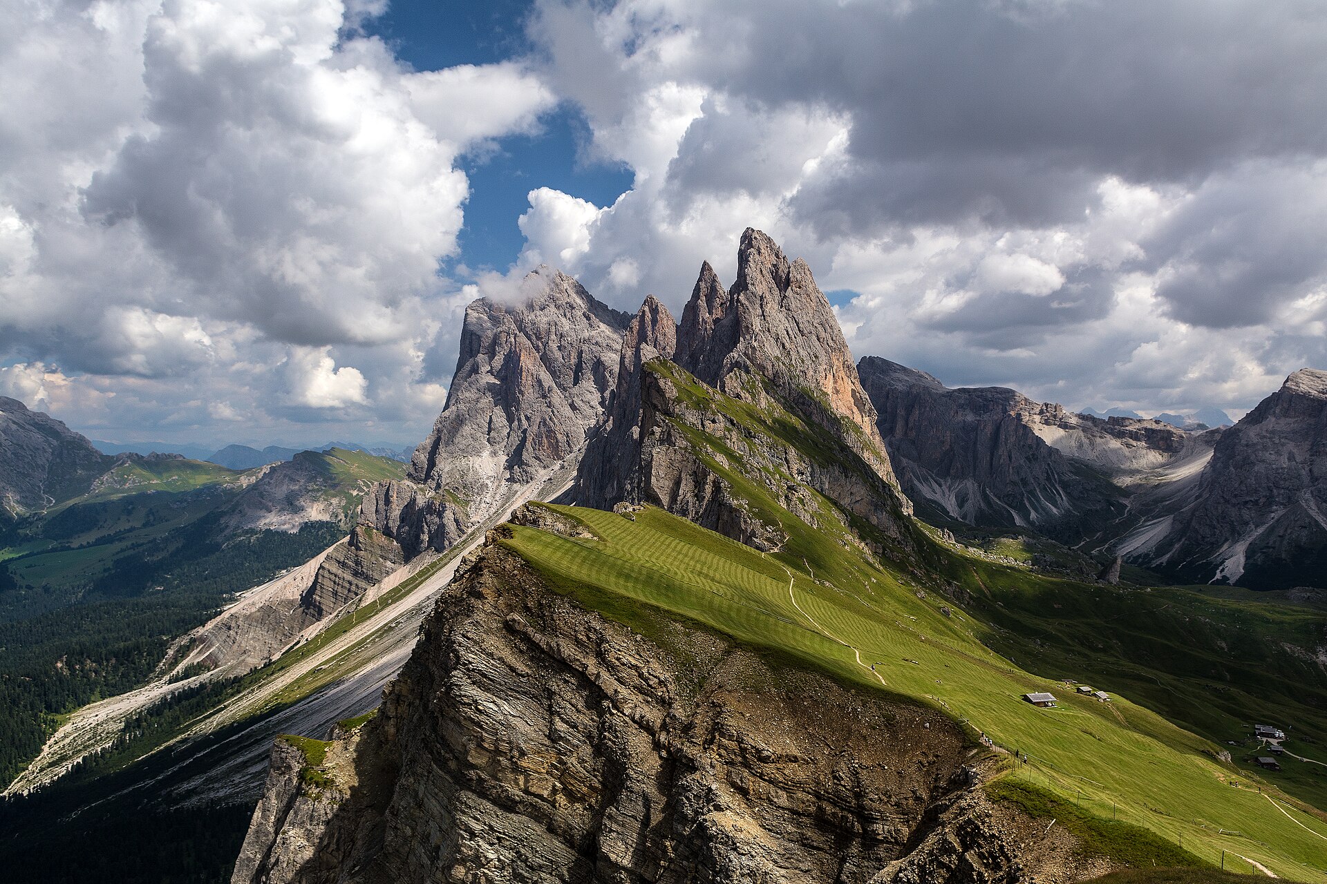
Regional nature park of 33,430 hectares in Italy, established in 1976.
Overview
Regional nature park of 33,430 hectares in Italy, established in 1976.
Texelgruppe Nature Park is a regional nature park in Italy (Europe). It is a predominantly terrestrial area. Established in 1976, it covers about 33,430 hectares.
Protections and designations
Natura 2000 · habitats (SAC) · 2 sites
Natura 2000 · birds (SPA) · 2 sites
Protected as a regional nature park. International labels and designations: Natura 2000 network (2 sites). Key dates: established in 1976 and first Natura 2000 site under the Birds Directive in 2000.
In our collections
Timeline
-
1976
Established
-
2000
First Natura 2000 site under the Birds Directive 2 such sites designated up to 2000
Sources: Wikidata (CC0) for establishment and international labels; EEA Natura 2000 database (CC-BY 4.0) for site designation dates.
Frequently asked questions
Where is Texelgruppe Nature Park?
In Italy (Europe). Representative point: 46.7333° N, 11.0346° E.
How large is Texelgruppe Nature Park?
About 33,430 hectares (334 km²). It is the 14th largest of the 128 regional parks in Italy covered by Parkavela.
When was Texelgruppe Nature Park established?
In 1976.
What habitats and landscapes does Texelgruppe Nature Park include?
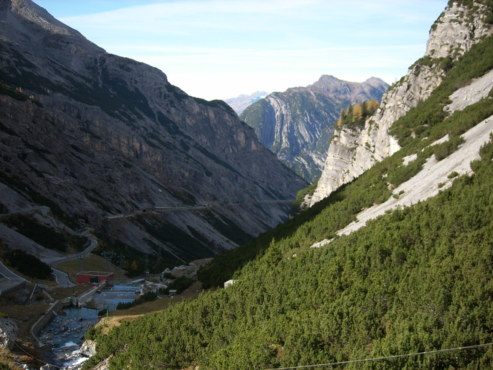
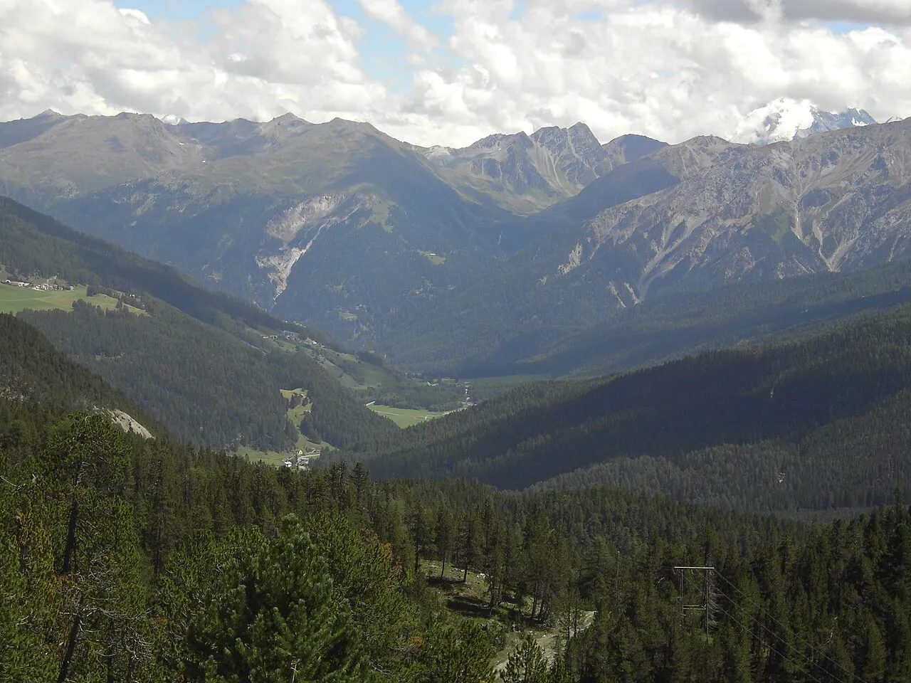
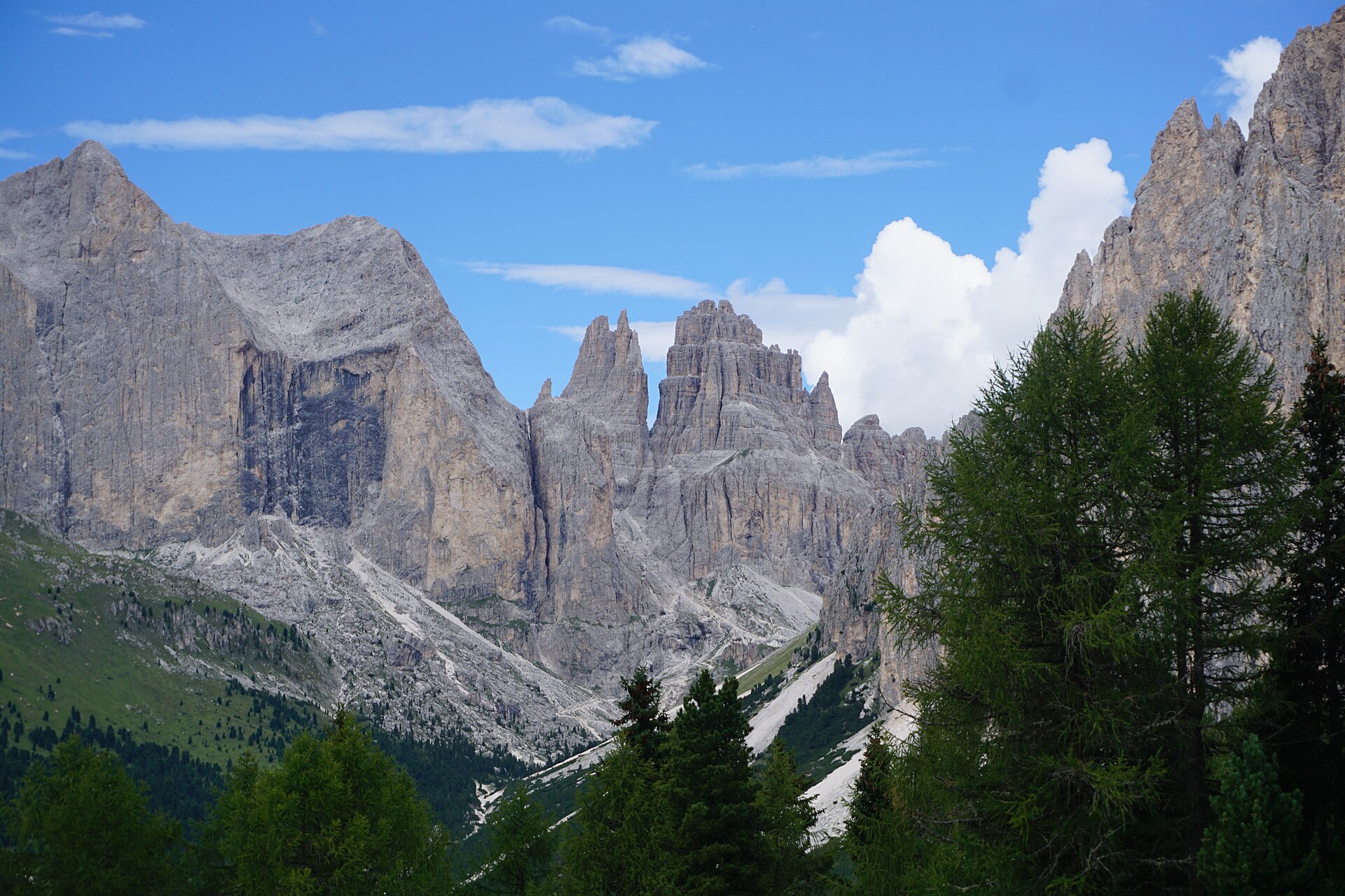
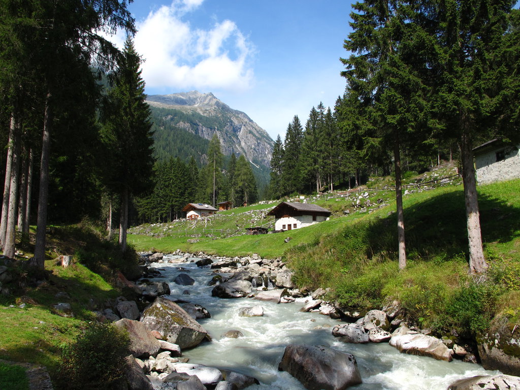
A terrestrial area, with mountains.
What rocks lie beneath Texelgruppe Nature Park?
According to the European 1:1 million geological map (EGDI), the bedrock consists mainly of mica schists (94% of sampled points). These are mostly metamorphic rocks. The geological units date mainly from the Carboniferous (94% of sampled points).
What is the highest point of Texelgruppe Nature Park?
Similaun, at 3,597 m (OpenStreetMap).
What are the main summits of Texelgruppe Nature Park?
Similaun (3,597 m), Mittlere Marzellspitze - Punta di Marzèl di Mezzo (3,529 m), Westliche Marzellspitze - Punta di Marzèl Ovest (3,527 m), Finailspitze - Punta di Finale (3,514 m) and Hochwilde - Cima Altissima (3,482 m) (OpenStreetMap).
Which international labels apply to Texelgruppe Nature Park?
Natura 2000 network (2 sites).
When is the best time to visit Texelgruppe Nature Park?
Mildest period: from June to August, with average temperatures of 3 to 6 °C.
Is there snow in Texelgruppe Nature Park?
Yes. According to NASA's MODIS satellites (2015–2025 average), snow covers most of the site from November to April, and until June on higher ground, with about 155 snow-covered days a year on average. Permanent snow remains on the summits even in midsummer.
What is there to see in Texelgruppe Nature Park?
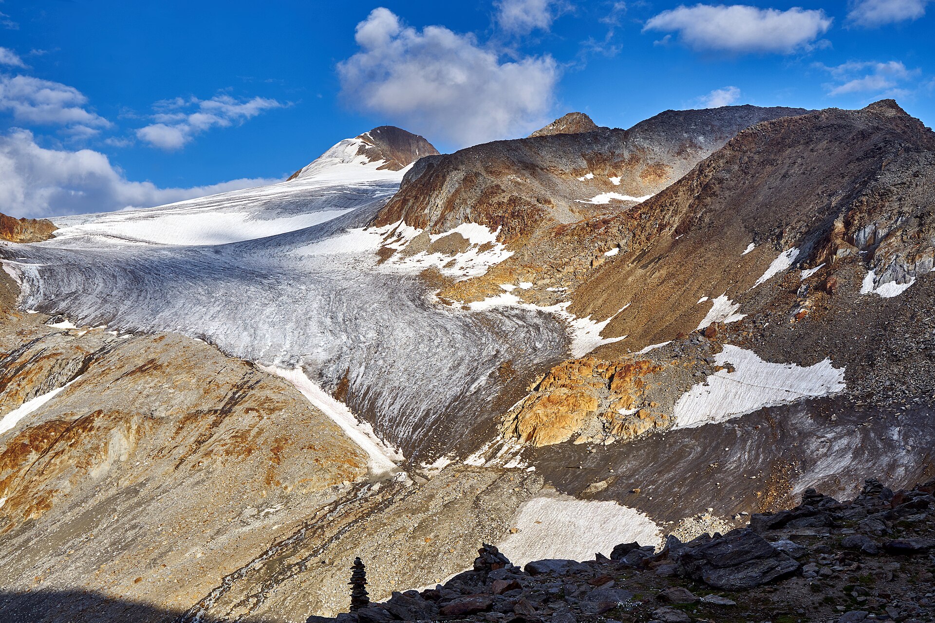
15 viewpoints, 3 waterfalls, 24 lakes and ponds, 1 cave and 4 glaciers, including Der Nolp (2,233 m), Pircher Lack (3,000 m), Grafferner - Vedretta della Grava and Fernrohr Scheibkopf - Telescopio Scheibkopf (OpenStreetMap).
Where can I stay in Texelgruppe Nature Park?
11 mountain huts and 1 campsite, including Zwickauer Hütte - Rifugio Plan (2,989 m), Camping Bergkristall and Stettiner Hütte - Rifugio Petrarca (2,875 m) (OpenStreetMap).
What is the nearest large city to Texelgruppe Nature Park?
Nearest towns of over 50,000 people, as the crow flies: Bolzano (27 km) and Innsbruck (45 km). Nearest airport: Innsbruck (INN), about 42 km away.
How can I reach Texelgruppe Nature Park by train?
The nearest railway station is Plaus, about 2 km from the site boundary.
Where can I get visitor information on site?
Tourismusbüro Schnalstal, Tourismusverein Passeiertal - Infobüro Pfelders and Tourismusverein Passeiertal - Infobüro St. Martin.
Are there waymarked hiking trails in Texelgruppe Nature Park?
Yes. Waymarked hiking routes listed in OpenStreetMap: 87, including E 5, Via Alpina Yellow and Ötztal Trek Etappe. The “VA-B29 · Via Alpina Yellow B29” route runs for about 12 km through the site, with some 310 m of ascent on its longest section.
Which species can be seen in Texelgruppe Nature Park?
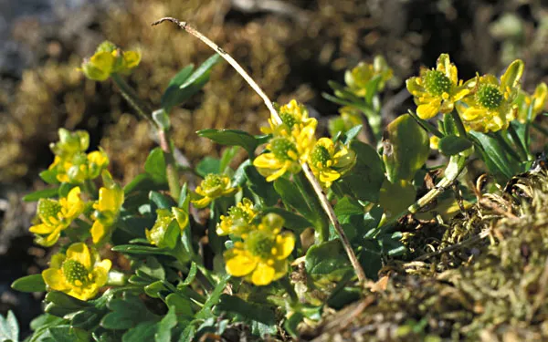
Among the species most often recorded on GBIF are Parnassius apollo (Apollo), Corvus corax (Northern Raven), Rhododendron ferrugineum (Alpenrose) and Ranunculus pygmaeus (Pygmy buttercup).
What is the official website of Texelgruppe Nature Park?
© OpenStreetMap
Download the boundary: GeoJSON · GPX Boundary © OpenStreetMap contributors (ODbL).
Geography
The representative point of the site lies at around 2,921 m above sea level. Over the 1996–2025 period, the mean annual temperature is about -4.9 °C and total precipitation reaches roughly 1,379 mm per year. The warmest month is usually July, the coolest January, and the wettest July. According to the European 1:1 million geological map (EGDI), the bedrock consists mainly of mica schists (94% of sampled points). These are mostly metamorphic rocks. The geological units date mainly from the Carboniferous (94% of sampled points). In 2016, 19 glaciers covered 4.9 km² within the site (Sentinel-2 glacier inventory of the Alps).
Area
- Area
- 33,430 ha
- Elevation
- 2,921 m
- Median elevation
- 2,300 m
- Mean slope
- 30°
- Snow cover
- ≈ 155 days a year
- Coordinates
- 46.7333, 11.0346
Terrain: Mapzen Terrain Tiles (SRTM, USGS)
Elevation bands
- 1,000–1,500 m 5%
- 1,500–2,000 m 23%
- 2,000–2,500 m 38%
- 2,500–3,000 m 29%
- above 3,000 m 6%
share of the site in each elevation band (smoothed terrain model: summits are rounded off) · Terrain: Mapzen Terrain Tiles (SRTM, USGS)
Bedrock
- Mica schists 94 %
- Ultramafic rocks 6 %
Metamorphic rocks 94 % · Igneous rocks 6 % · Main age: Carboniferous (94%)
Source: EGDI 1:1M geological map (EuroGeoSurveys and national geological surveys), CC BY 4.0 · 16 sampled points within the site.
Main summits
- Similaun3,597 m
- Mittlere Marzellspitze - Punta di Marzèl di Mezzo3,529 m
- Westliche Marzellspitze - Punta di Marzèl Ovest3,527 m
- Finailspitze - Punta di Finale3,514 m
- Hochwilde - Cima Altissima3,482 m
- Karlesspitze - Cima di Quaira3,463 m
- Hochwilde (Nordgipfel)3,461 m
- Monte Cavallo di Fosse/Pfasserspitze3,438 m
- Hohe Wart - Guardia Alta3,424 m
- Hintere Faulwand - Croda Marcia3,416 m
Data © OpenStreetMap contributors (ODbL)
Climate
● Mean temperature (°C) · ▮ Precipitation (mm)
Source: Copernicus ERA5-Land (C3S, doi:10.24381/cds.68d2bb30), monthly averages 1996–2025 interpolated to the representative point, temperatures adjusted for elevation.
Contains modified Copernicus Climate Change Service information 2026. Neither the European Commission nor ECMWF is responsible for any use that may be made of the Copernicus information or data it contains.
Snow cover measured by satellite
J
F
M
A
M
J
J
A
S
O
N
D
average share of the site under snow · snowiest parts · ≈ 155 days a year
Snow cover: MODIS/Terra MOD10CM v61 (Hall & Riggs, 2021, NASA NSIDC DAAC, doi:10.5067/MODIS/MOD10CM.061), imagery from NASA GIBS (ESDIS); 2015–2025 average, grid of about 5 km.
Natural habitats
According to CORINE Land Cover (2018), the site is mainly made up of sparsely vegetated land (37%), bare rock and scree (21%) and heath and scrub (14%). Elevation ranges from about 1,580 m to 3,597 m (highest point: Similaun). Median elevation is 2,300 m, and 34% of the site lies above 2,500 m (SRTM elevation model). The terrain is steep: 51% of slopes exceed 30° (mean slope 30°). The 2 Natura 2000 sites overlapping the area list 24 habitats of European interest (5 priority), the most extensive being siliceous alpine and boreal grasslands, siliceous scree of the montane to snow levels (Androsacetalia alpinae and Galeopsietalia ladani) and siliceous rocky slopes with chasmophytic vegetation.
Biodiversity
Based on occurrences aggregated by GBIF, several species are regularly recorded within the site. Among the most frequent are Parnassius apollo (Apollo), Corvus corax (Northern Raven), Rhododendron ferrugineum (Alpenrose) and Ranunculus pygmaeus (Pygmy buttercup). The full list of documented taxa is shown below. The overlapping Natura 2000 sites list 27 species of European interest: 11 birds, 3 mammals, 2 reptiles, 1 amphibian, 3 invertebrates and 7 plants.
Habitats of European interest
From the official forms of the 2 Natura 2000 sites overlapping the area (areas reported for each whole site).
- Siliceous alpine and boreal grasslands 5,375 ha
- Siliceous scree of the montane to snow levels (Androsacetalia alpinae and Galeopsietalia ladani) 3,991 ha
- Siliceous rocky slopes with chasmophytic vegetation 3,208 ha
- Alpine Larix decidua and/or Pinus cembra forests 1,746 ha
- Alpine and Boreal heaths 1,054 ha
- Permanent glaciers 686 ha
- Acidophilous Picea forests of the montane to alpine levels (Vaccinio-Piceetea) 459 ha
- Species-rich Nardus grasslands, on silicious substrates in mountain areas (and submountain areas in Continental Europe) priority 384 ha
and 16 more
Species of European interest
Birds · 11
Boreal Owl (Aegolius funereus) resident, Rock Partridge (Alectoris graeca saxatilis) resident, Golden Eagle (Aquila chrysaetos) resident, Hazel Grouse (Bonasa bonasia) resident, Black Woodpecker (Dryocopus martius) breeding resident, Rock Ptarmigan (Lagopus muta helvetica) resident, Red-backed Shrike (Lanius collurio) breeding, Three-toed Woodpecker (Picoides tridactylus) breeding resident, Grey-headed Woodpecker (Picus canus) resident, Fieldfare (Turdus pilaris) breeding, Mistle Thrush (Turdus viscivorus) breeding
Amphibians · 1
Invertebrates · 3
Marsh fritillary (Euphydryas aurinia), Large Blue (Maculinea arion), Apollo (Parnassius apollo)
Plants · 7
Mountain arnica (Arnica montana), Black Wormwood (Artemisia genipi), Alpine clubmoss (Diphasiastrum alpinum), Interrupted clubmoss (Lycopodium annotinum), Stag's-horn Clubmoss (Lycopodium clavatum), Sphagnum Mosses (Sphagnum spp.), Trifolium saxatile
Source: Natura 2000 standard data forms (EEA, CC-BY 4.0). Not exhaustive: sensitive species are not published.
Species to look out for

Mammal
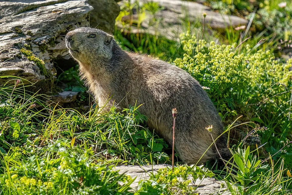
Alpine marmot
Marmota marmota22 records © Photography captured by Giles Laurent · CC BY-SA 4.0
Observed species
Occurrences documented via GBIF; they are neither an exhaustive inventory nor proof of current presence.
- Apollo · Parnassius apollo · 54
- Northern Raven · Corvus corax · 25
- Alpenrose · Rhododendron ferrugineum · 25
- Pygmy buttercup · Ranunculus pygmaeus · 25
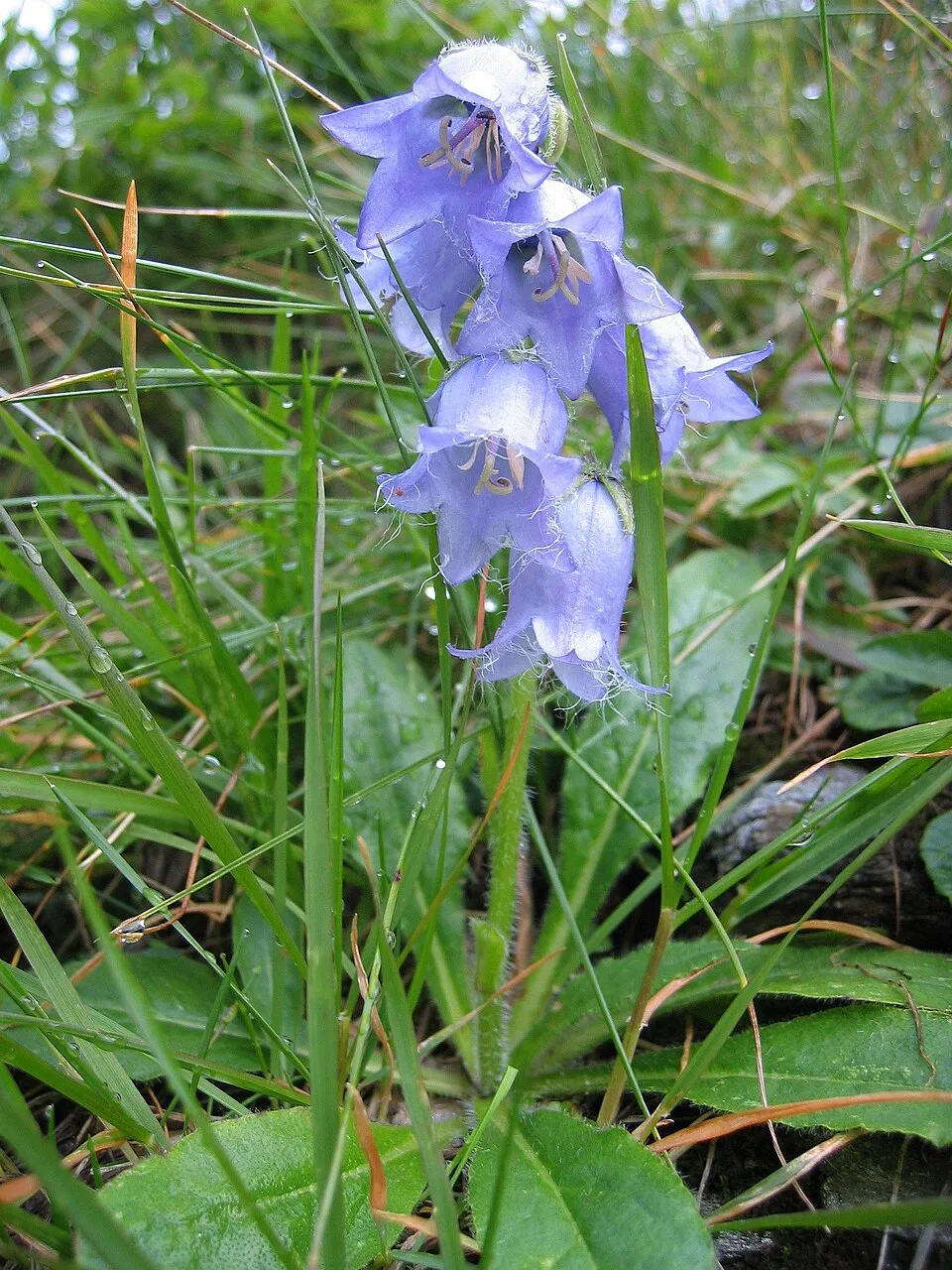
- Bearded bellflower · Campanula barbata · 25
- Alpine marmot · Marmota marmota · 22
- Pyramidal Bugle · Ajuga pyramidalis · 21
- Confused · Apamea furva · 20
- Eurasian Crag Martin · Ptyonoprogne rupestris · 20
- Scarce copper · Lycaena virgaureae · 18
- Eurasian Chaffinch · Fringilla coelebs · 18
- Stemless carline thistle · Carlina acaulis · 18
+18 more species
- Cobweb House-leek · Sempervivum arachnoideum · 18
- Panchrysia vargenteum · 18
- Geum montanum · 18
- Heart and Club · Agrotis clavis · 18
- Epipsilia grisescens · 17
- Small tortoiseshell · Aglais urticae · 17
- Water Pipit · Anthus spinoletta · 17
- Parnassius corybas · 17
- Mountain arnica · Arnica montana · 17
- Chersotis cuprea · 16
- Varied coronet · Hadena compta · 15
- Albulina orbitulus · 15
- Northern Nutcracker · Nucifraga caryocatactes · 15
- Ingrailed Clay · Diarsia mendica · 15
- Lasionycta proxima · 15
- Chersotis ocellina · 14
- Chersotis multangula · 14
- Syngrapha ain · 14
Records: GBIF.org (CC-BY). Names: Wikidata (CC0), GBIF. Photos: Wikimedia Commons.
Conservation challenges
The primary purpose of the site is to preserve its natural habitats and the biodiversity they support. The species recorded (Biodiversity tab) reflect its ecological value. The designations it holds frame its management and the control of land use.
According to Global Forest Change data (University of Maryland, Global Forest Watch), about 356 ha of tree cover were lost within the boundary between 2001 and 2023 (1% of its area), peaking in 2019 and 2023. These losses include logging, storms and fires, and do not account for regrowth. According to the European CORINE Land Cover inventory (Copernicus), land cover changed on about 224 ha of the site between 1990 and 2018 (under 1% of its area): forest grew by 224 ha, mostly at the expense of open natural land, while open natural land shrank by 224 ha, mostly giving way to forest. At night, the area gives off virtually no artificial light detectable from space (NASA VIIRS Black Marble composite, 2016). According to the Natura 2000 forms, of 20 assessed habitats of European interest, 5 are in excellent condition and 1 in average or reduced condition. According to the Water Framework Directive assessment (2022 river basin management plans, data 2014–2019), 88% of the 46 km of rivers assessed within the site are in good or high ecological status.
Pressure indicators
Tree cover lost
356 ha
2001–2023 · 1% of the area
20012023
Fires since 2016
0
No large fire mapped (fires over about 30 ha)
Light at night
0%
of the area gives off artificial light visible from space
DarkLit
Land cover change
224 ha
changed cover, 1990–2018 · CORINE · < 1% of the area
- +224 ha · forest
- −224 ha · open natural land
Rivers and lakes
88%
of the 46 km of assessed rivers in good or high ecological status · WFD 2022
assessments 2014–2019
Sources: Global Forest Change (Hansen et al., University of Maryland, via Global Forest Watch, CC-BY 4.0); EFFIS, European Commission / Copernicus; NASA Black Marble 2016 (public domain); CORINE Land Cover 2018 (Copernicus) or MODIS.
CORINE Land Cover Change 1990–2018: generated using European Union's Copernicus Land Monitoring Service information (EEA), aggregated by Parkavela; DOI 10.2909/f30f1000-7cf8-43bb-872c-5eb093911b24.
Ecological status of water bodies: European Environment Agency, WISE – Water Framework Directive, 3rd river basin management plans (2022), CC BY 4.0. Official national classification, not comparable between countries.
Practical information
Cities and airport
- Bolzano
27 km as the crow flies - Innsbruck
45 km as the crow flies - Airport: Innsbruck (INN)
42 km as the crow flies
Visitor information
- Tourismusbüro Schnalstal
< 1 km from the site boundary - Tourismusverein Passeiertal - Infobüro Pfelders
< 1 km from the site boundary - Tourismusverein Passeiertal - Infobüro St. Martin
1 km from the site boundary - Tourismusbüro Partschins
1 km from the site boundary
Things to see
15 viewpoints · 3 waterfalls · 24 lakes and ponds · 1 cave · 4 glaciers
- Der Nolp
viewpoint · 2,233 m - Pircher Lack
lake or pond · 3,000 m - Grafferner - Vedretta della Grava
glacier - Fernrohr Scheibkopf - Telescopio Scheibkopf
viewpoint - Grafsee
lake or pond · 2,674 m
Where to stay
11 mountain huts · 1 campsite
- Zwickauer Hütte - Rifugio Plan
Staffed hut · 2,989 m - Camping Bergkristall
campsite - Stettiner Hütte - Rifugio Petrarca
Staffed hut · 2,875 m - Lodnerhütte - Rifugio Cima Fiammante
Staffed hut · 2,259 m · 34 beds - Schutzhütte Oberkaseralm
Staffed hut · 2,131 m
Hiking
87 waymarked routes listed, including:
E 5Via Alpina YellowÖtztal Trek Etappe
Data © OpenStreetMap contributors (ODbL) · Wikidata (CC0)
Waymarked hiking routes
E5 Chemin de randonnée Européen E5, Italie
3.2 km within the site ↗ 349 m↘ 0 m 1,851–2,214 m
up to T2 · mountain hiking
VA-B28 Via Alpina Yellow B28
3.9 km within the site ↗ 39 m↘ 332 m 1,553–1,852 m
up to T2 · mountain hiking
VA-B29 Via Alpina Yellow B29
12.1 km within the site ↗ 305 m↘ 556 m 1,522–1,884 m
up to T2 · mountain hiking
VA-B31 Via Alpina Yellow B31
4.9 km within the site ↗ 1,152 m↘ 0 m 1,842–3,005 m
up to T3 · demanding mountain hiking
1 Unnamed route
4 km within the site ↗ 933 m↘ 152 m 1,477–2,359 m
up to T4 · alpine hiking
40 Unnamed route
4.6 km within the site ↗ 0 m↘ 660 m 2,278–2,943 m
up to T3 · demanding mountain hiking
Tracks © OpenStreetMap contributors (ODbL), clipped to the boundary; elevation gain and profiles computed on the longest section from Mapzen Terrain Tiles (≈ 30 m), indicative only. Indicative difficulty (SAC scale, OpenStreetMap, via Waymarked Trails): check with the park.
Access and visiting
The nearest railway station is Plaus, about 2 km from the site boundary. Nearest towns of over 50,000 people, as the crow flies: Bolzano (27 km) and Innsbruck (45 km). Nearest airport: Innsbruck (INN), about 42 km away. About 140,000 people live within 20 km of the site boundary, 86,000 of them within 10 km; some 710 people are estimated to live inside (GHSL estimate, 2020). This population has grown by about 11% since 2000. Visitor information on site: Tourismusbüro Schnalstal, Tourismusverein Passeiertal - Infobüro Pfelders and Tourismusverein Passeiertal - Infobüro St. Martin. Waymarked hiking routes listed in OpenStreetMap: 87, including E 5, Via Alpina Yellow and Ötztal Trek Etappe. To see: 15 viewpoints, 3 waterfalls, 24 lakes and ponds, 1 cave and 4 glaciers, including Der Nolp (2,233 m), Pircher Lack (3,000 m), Grafferner - Vedretta della Grava and Fernrohr Scheibkopf - Telescopio Scheibkopf. Where to stay: 11 mountain huts and 1 campsite, including Zwickauer Hütte - Rifugio Plan (2,989 m), Camping Bergkristall and Stettiner Hütte - Rifugio Petrarca (2,875 m). To plan a visit (access, opening periods, visitor rules), it is best to consult the official information from the managing body and the official website listed in this page's sources.
Source: OpenStreetMap (ODbL), Wikidata (CC0), October 2026.
When to visit
Mildest period: from June to August, with average temperatures of 3 to 6 °C. Average temperatures drop below 0 °C from October to May: frost is common. Precipitation peaks from June to August (up to 190 mm per month). These averages apply to the site's representative point (2,921 m); higher up it is markedly cooler and snow lasts longer. According to NASA's MODIS satellites (2015–2025 average), snow covers most of the site from November to April, and until June on higher ground, with about 155 snow-covered days a year on average. Permanent snow remains on the summits even in midsummer. Day length ranges from about 8 h 34 min in December to 15 h 50 min in June. Wildlife records published on GBIF peak for birds (December and January), plants (July), butterflies and moths (July and August) and mammals (July). These peaks also reflect when observers are most active.
Source: Copernicus ERA5-Land (C3S), monthly averages 1996–2025 at the representative point, temperatures adjusted for elevation.
Contains modified Copernicus Climate Change Service information 2026. Neither the European Commission nor ECMWF is responsible for any use that may be made of the Copernicus information or data it contains.
Wildlife records calendar
JFMAMJJASOND
Birds
Plants
Butterflies & moths
Mammals
Monthly records published on GBIF (CC-BY), relative to the busiest month; also reflects observer activity.
Gallery
© Günter Seggebäing, Coesfeld · CC BY-SA 3.0
© Günter Seggebäing, Coesfeld · CC BY-SA 3.0
© Lucianocasa · CC BY-SA 4.0
© Tuxyso · CC BY-SA 3.0
© Svíčková · CC BY-SA 3.0
© Puusterke · CC BY-SA 4.0
Sources and licences
- Wikidata: Q1970690
- OpenStreetMap: relation 7559286
- Official website: http://www.provincia.bz.it/natura/2803/parchi/tessa/default.htm
- Wikipedia: en.wikipedia.org/wiki/Texelgruppe_Nature_Park
- WDPA: 6012
References
- cds.climate.copernicus.eu: climate · CC-BY-4.0
- registry.opendata.aws: elevation of the reference point, detailed relief · PD
- doi.org: glaciers, population around the site · CC-BY-4.0
- land.copernicus.eu: land cover, land cover change, sea share · COPERNICUS
- wikidata.org: official area, establishment date, protected heritage, official name, nearby cities and airport, access and peaks, lake depths, places to see, official website · CC0-1.0
- eea.europa.eu: bathing water quality, ecological status of waters · CC-BY-4.0
- en.eurovelo.com: EuroVelo cycle routes · ODbL-1.0
- cycling.waymarkedtrails.org: cycle routes · ODbL-1.0
- opentopodata.org: elevations · PD
- forest-fire.emergency.copernicus.eu: wildfires · COPERNICUS
- globalforestwatch.org: tree cover loss · CC-BY-4.0
- gbif.org: seasonality of sightings, invasive alien species, observed species · CC-BY-4.0
- europe-geology.eu: geology · CC-BY-4.0
- hydrosheds.org: lakes · CC-BY-4.0
- natura2000.eea.europa.eu: Natura 2000 habitats and species · CC-BY-4.0
- earthobservatory.nasa.gov: night light · PD
- openstreetmap.org: access and peaks, places to see · ODbL-1.0
- hiking.waymarkedtrails.org: route difficulty · ODbL-1.0
- nsidc.org: snow cover · PD
- wikidata.org: Wikipedia article · CC-BY-SA-4.0
Data © OpenStreetMap contributors (ODbL), Wikidata (CC0) and the sources cited.