Germany · Terrestrial
Ammergau Alps Nature Park
Nature park of 22,738 hectares in Germany, established in 2017.
Overview
Nature park of 22,738 hectares in Germany, established in 2017.
Ammergau Alps Nature Park is located in Germany (Europe). It is a predominantly terrestrial area. Established in 2017, it covers about 22,738 hectares.
Protections and designations
Natura 2000 · habitats (SAC) · 5 sites
- Ammer vom Alpenrand b. zum NSG 'Vogelfreistätte Ammersee-Südufer' DE8331302
- Ammergebirge DE8431371
- Ammertaler Wiesmahdhänge DE8332304
- Moore im oberen Ammertal DE8332371
- Moränenlandschaft zwischen Staffelsee und Baiersoien DE8332372
Natura 2000 · birds (SPA) · 2 sites
Protected as a nature park. International labels and designations: Natura 2000 network (7 sites). Key dates: first Natura 2000 site under the Habitats Directive in 2004, first Natura 2000 site under the Birds Directive in 2006 and established in 2017.
In our collections
Timeline
-
2004
First Natura 2000 site under the Habitats Directive 5 such sites designated up to 2008
-
2006
First Natura 2000 site under the Birds Directive 2 such sites designated up to 2006
-
2017
Established
Sources: Wikidata (CC0) for establishment and international labels; EEA Natura 2000 database (CC-BY 4.0) for site designation dates.
Frequently asked questions
Where is Ammergau Alps Nature Park?
In Germany (Europe). Representative point: 47.5842° N, 10.9645° E.
How large is Ammergau Alps Nature Park?
About 22,738 hectares (227 km²). It is the 60th largest of the 66 nature parks in Germany covered by Parkavela.
When was Ammergau Alps Nature Park established?
In 2017.
What habitats and landscapes does Ammergau Alps Nature Park include?
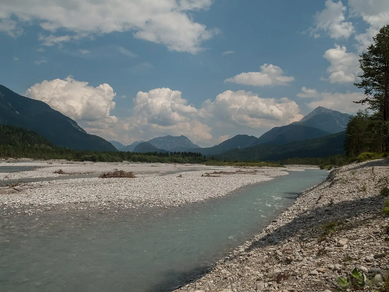
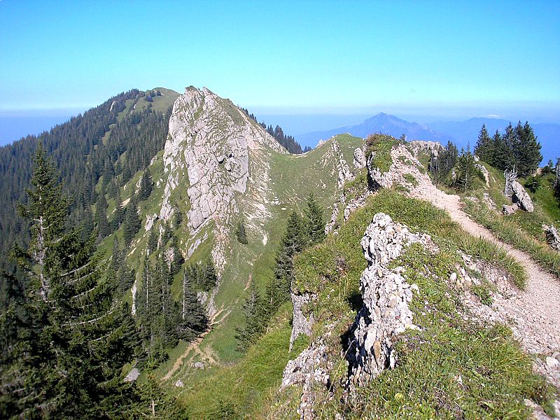
A terrestrial area, with forests and mountains.
What rocks lie beneath Ammergau Alps Nature Park?
According to the European 1:1 million geological map (EGDI), the bedrock consists mainly of limestones (56% of sampled points), sands and gravels (19%) and sandstones (13%). These are mostly sedimentary rocks. The geological units date mainly from the Triassic (44% of sampled points).
What is the highest point of Ammergau Alps Nature Park?
Kreuzspitze, at 2,184 m (OpenStreetMap).
What are the main summits of Ammergau Alps Nature Park?
Kreuzspitze (2,184 m), Frieder (2,053 m), Friederspitz (2,049 m), Kuchelbergkopf (2,026 m) and Kuchelbergspitze (2,020 m) (OpenStreetMap).
Which international labels apply to Ammergau Alps Nature Park?
Natura 2000 network (7 sites).
When is the best time to visit Ammergau Alps Nature Park?
Mildest period: from June to August, with average temperatures of 9 to 11 °C.
Is there snow in Ammergau Alps Nature Park?
Yes. According to NASA's MODIS satellites (2015–2025 average), snow covers most of the site from December to February, and until April on higher ground, with about 110 snow-covered days a year on average.
What is there to see in Ammergau Alps Nature Park?
32 viewpoints, 11 waterfalls, 14 lakes and ponds and 2 caves, including Zeitberg (1,404 m), Bayersoiener See (790 m), Bärenhöhle and Aubichlaussicht (861 m) (OpenStreetMap).
Where can I stay in Ammergau Alps Nature Park?
5 mountain huts and 7 campsites, including Brunnenkopfhütte (1,602 m), Ammertaler Hof Wohnmobilstellplatz and August-Schuster-Haus (1,564 m) (OpenStreetMap).
Can you swim in Ammergau Alps Nature Park?
2 monitored bathing sites lie in or within 1 km of the site; official 2025 classification: 2 excellent (European Environment Agency). Swimming is only permitted at the sites and times authorised locally.
What is the nearest large city to Ammergau Alps Nature Park?
Nearest towns of over 50,000 people, as the crow flies: Innsbruck (39 km) and Kempten (46 km). Nearest airport: Memmingen (FMM), about 63 km away.
How can I reach Ammergau Alps Nature Park by train?
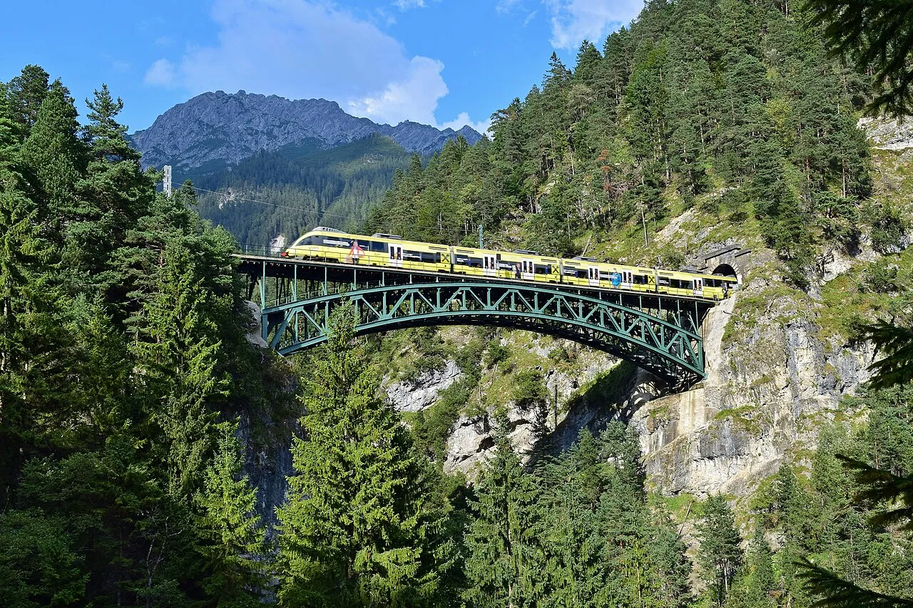
Unterammergau railway station lies within the site.
Where can I get visitor information on site?
Tourist-Information, Kur- und Tourist-Information and Verkehrsamt.
Are there waymarked hiking trails in Ammergau Alps Nature Park?
Yes. Waymarked hiking routes listed in OpenStreetMap: 15, including E 4, Via Alpina Purple, Via Romea and Maximiliansweg (Bayern). The “Meditationsweg Ammergauer Alpen” route runs for about 62 km through the site, with some 410 m of ascent on its longest section.
Which species can be seen in Ammergau Alps Nature Park?
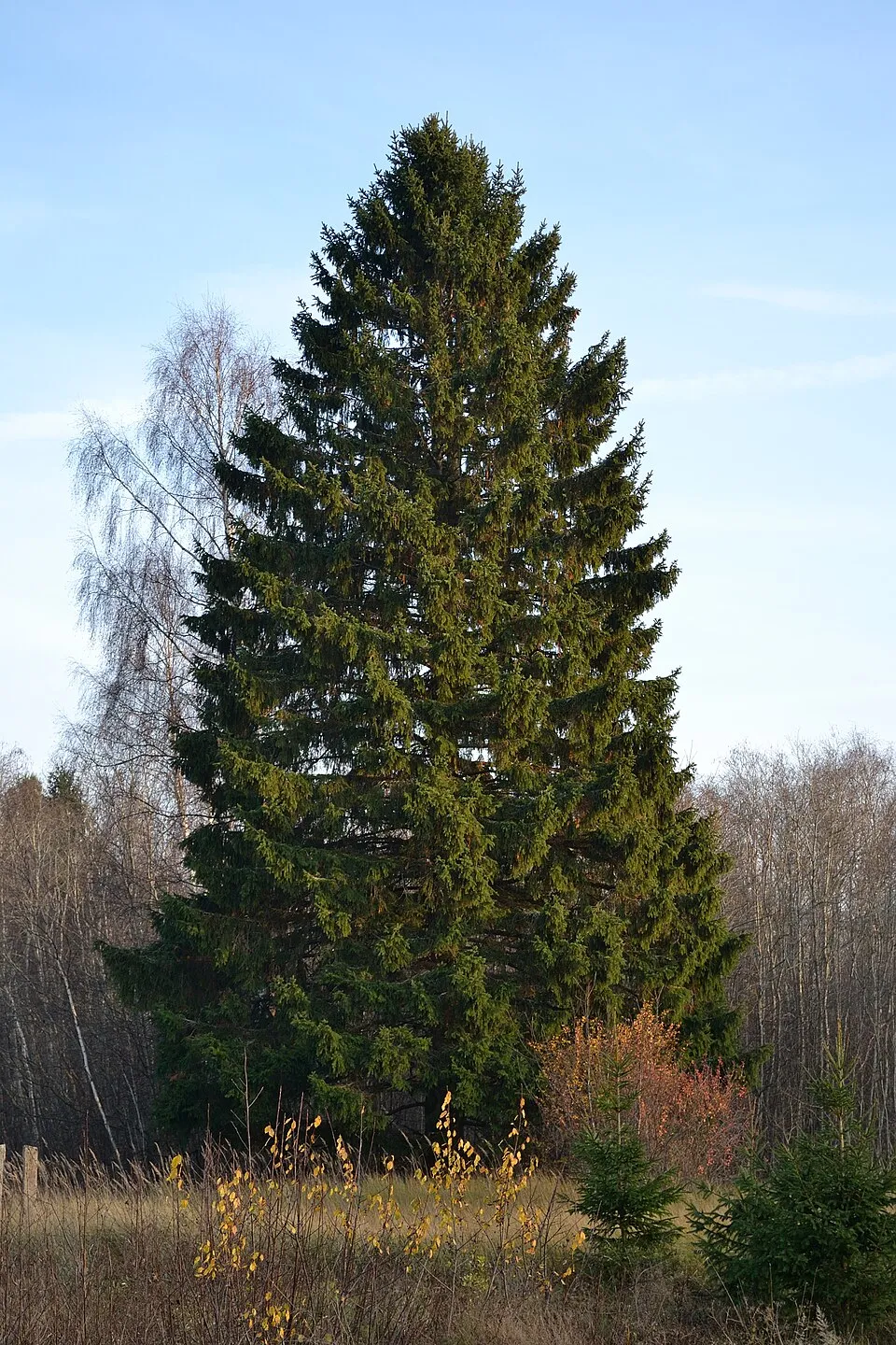
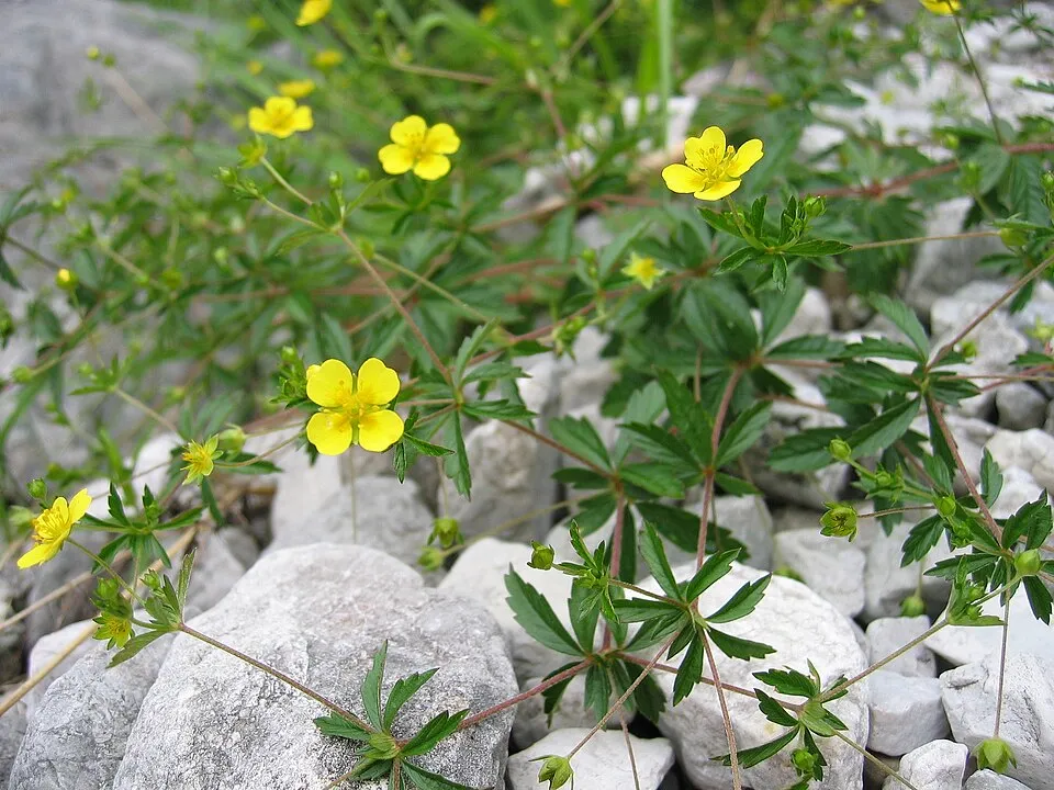
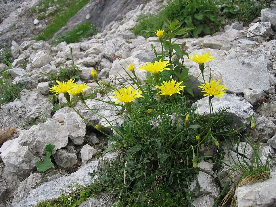
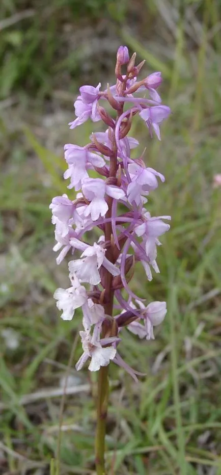
Among the species most often recorded on GBIF are Picea abies (Norway spruce), Potentilla erecta (Tormentil), Leontodon hispidus (Rough hawkbit) and Gymnadenia conopsea (Fragrant orchid).
© OpenStreetMap
Download the boundary: GeoJSON · GPX Boundary © OpenStreetMap contributors (ODbL).
Geography
Over the 1996–2025 period, the mean annual temperature is about 1.8 °C and total precipitation reaches roughly 1,599 mm per year. The warmest month is usually July, the coolest January, and the wettest July. According to the European 1:1 million geological map (EGDI), the bedrock consists mainly of limestones (56% of sampled points), sands and gravels (19%) and sandstones (13%). These are mostly sedimentary rocks. The geological units date mainly from the Triassic (44% of sampled points).
Area
- Area
- 22,738 ha
- Median elevation
- 1,075 m
- Mean slope
- 18°
- Snow cover
- ≈ 110 days a year
- Coordinates
- 47.5842, 10.9645
Terrain: Mapzen Terrain Tiles (SRTM, USGS)
Elevation bands
- 500–1,000 m 42%
- 1,000–1,500 m 44%
- 1,500–2,000 m 13%
share of the site in each elevation band (smoothed terrain model: summits are rounded off) · Terrain: Mapzen Terrain Tiles (SRTM, USGS)
Bedrock
- Limestones 56 %
- Sands and gravels 19 %
- Sandstones 13 %
- Glacial deposits 13 %
Sedimentary rocks 100 % · Main age: Triassic (44%)
Source: EGDI 1:1M geological map (EuroGeoSurveys and national geological surveys), CC BY 4.0 · 16 sampled points within the site.
Main summits
- Kreuzspitze2,184 m
- Frieder2,053 m
- Friederspitz2,049 m
- Kuchelbergkopf2,026 m
- Kuchelbergspitze2,020 m
- Kienjoch1,953 m
- Kieneckspitz1,943 m
- Geißsprüngkopf1,934 m
- Scheinbergspitz1,929 m
- Große Klammspitz1,924 m
Data © OpenStreetMap contributors (ODbL)
Climate
● Mean temperature (°C) · ▮ Precipitation (mm)
Source: Copernicus ERA5-Land (C3S, doi:10.24381/cds.68d2bb30), monthly averages 1996–2025 interpolated to the representative point, temperatures adjusted for elevation.
Contains modified Copernicus Climate Change Service information 2026. Neither the European Commission nor ECMWF is responsible for any use that may be made of the Copernicus information or data it contains.
Snow cover measured by satellite
J
F
M
A
M
J
J
A
S
O
N
D
average share of the site under snow · snowiest parts · ≈ 110 days a year
Snow cover: MODIS/Terra MOD10CM v61 (Hall & Riggs, 2021, NASA NSIDC DAAC, doi:10.5067/MODIS/MOD10CM.061), imagery from NASA GIBS (ESDIS); 2015–2025 average, grid of about 5 km.
Natural habitats
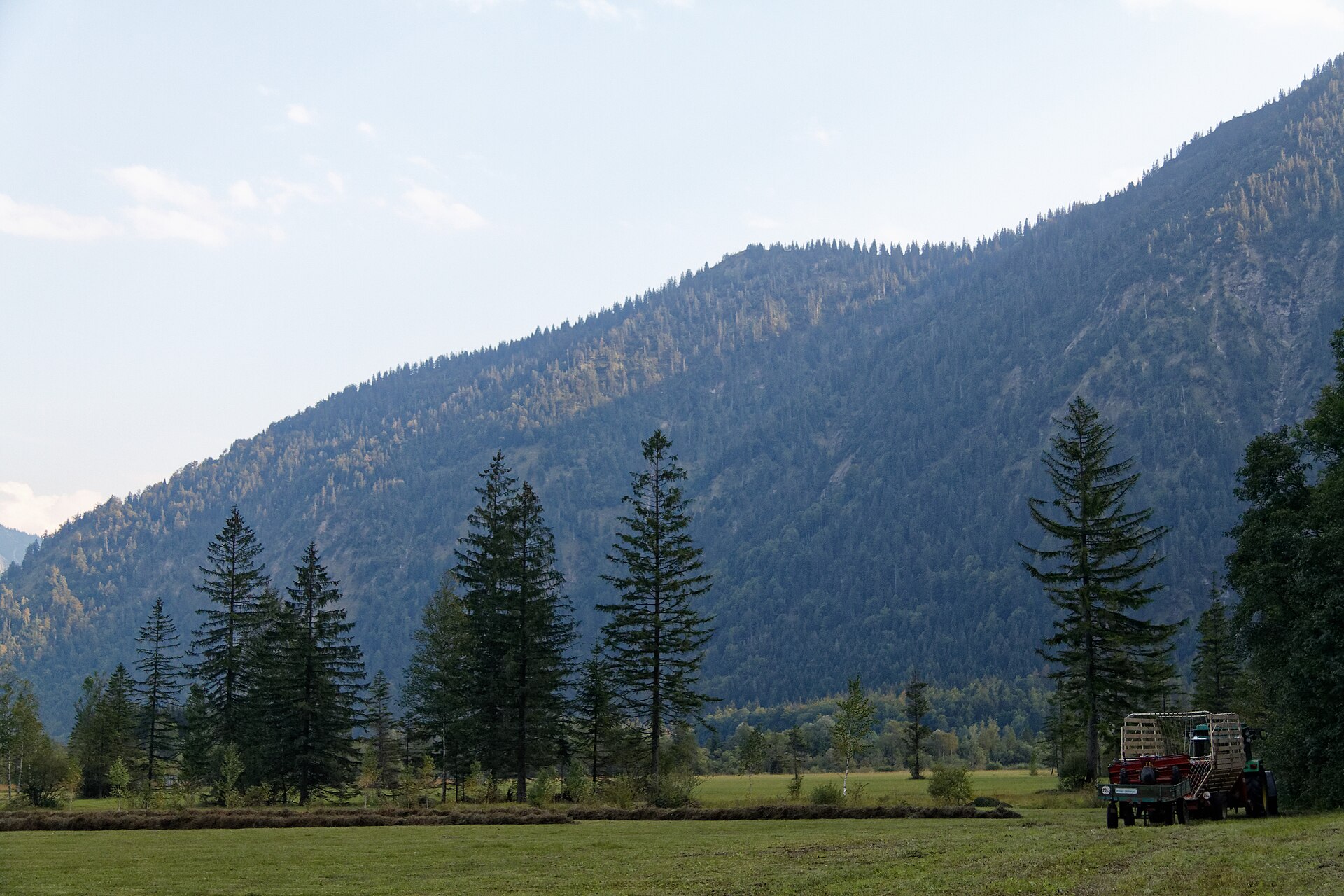
According to CORINE Land Cover (2018), the site is mainly made up of forests (63%), grassland and meadows (22%) and heath and scrub (6%). Woodland is mostly coniferous. Elevation ranges from about 760 m to 2,184 m (highest point: Kreuzspitze). Median elevation is 1,075 m, and 13% of the site lies above 1,500 m (SRTM elevation model). The terrain is steep: 22% of slopes exceed 30° (mean slope 18°). The 7 Natura 2000 sites overlapping the area list 39 habitats of European interest (10 priority), the most extensive being Asperulo-Fagetum beech forests, alpine and subalpine calcareous grasslands and bushes with Pinus mugo and Rhododendron hirsutum (Mugo-Rhododendretum hirsuti).
Biodiversity
Based on occurrences aggregated by GBIF, several species are regularly recorded within the site. Among the most frequent are Picea abies (Norway spruce), Potentilla erecta (Tormentil), Leontodon hispidus (Rough hawkbit) and Gymnadenia conopsea (Fragrant orchid). The full list of documented taxa is shown below. The overlapping Natura 2000 sites list 75 species of European interest: 45 birds, 5 mammals, 2 amphibians, 2 fish, 13 invertebrates and 8 plants.
Habitats of European interest
From the official forms of the 7 Natura 2000 sites overlapping the area (areas reported for each whole site).
- Asperulo-Fagetum beech forests 4,400 ha
- Alpine and subalpine calcareous grasslands 2,000 ha
- Bushes with Pinus mugo and Rhododendron hirsutum (Mugo-Rhododendretum hirsuti) priority 1,600 ha
- Calcareous rocky slopes with chasmophytic vegetation 1,004 ha
- Calcareous and calcshist screes of the montane to alpine levels (Thlaspietea rotundifolii) 800 ha
- Degraded raised bogs still capable of natural regeneration 582 ha
- Molinia meadows on calcareous, peaty or clayey-silt-laden soils (Molinion caeruleae) 573 ha
- Alkaline fens 561 ha
and 31 more
Species of European interest
Birds · 45
Common Sandpiper (Actitis hypoleucos) breeding, Boreal Owl (Aegolius funereus) breeding passage, Common Kingfisher (Alcedo atthis) passage, Rock Partridge (Alectoris graeca) passage, Meadow Pipit (Anthus pratensis) breeding, Water Pipit (Anthus spinoletta) breeding, Golden Eagle (Aquila chrysaetos) breeding, Hazel Grouse (Bonasa bonasia) breeding, Eurasian Bittern (Botaurus stellaris) passage, Eurasian Eagle-owl (Bubo bubo) breeding passage, Citril Finch (Carduelis citrinella) breeding, Common Rosefinch (Carpodacus erythrinus) breeding and 33 more
Mammals · 5
Barbastelle (Barbastella barbastellus), Eurasian Beaver (Castor fiber), Daubenton's bat (Myotis daubentonii), Greater mouse-eared bat (Myotis myotis), Lesser horseshoe bat (Rhinolophus hipposideros)
Invertebrates · 13
Stone crayfish (Austropotamobius torrentium), Carabus variolosus, Southern damselfly (Coenagrion mercuriale), Scarce heath (Coenonympha hero), Marsh fritillary (Euphydryas aurinia), Jersey Tiger (Euplagia quadripunctaria), Violet Copper (Lycaena helle), Dusky Large Blue (Maculinea nausithous), Scarce large blue (Maculinea teleius), Rosalia longicorn (Rosalia alpina), Thick shelled river mussel (Unio crassus), Narrow-mouthed whorl snail (Vertigo angustior) and 1 more
Plants · 8
Creeping marshwort (Apium repens), Buxbaumia moss (Buxbaumia viridis), Lady's-slipper orchid (Cypripedium calceolus), Dicranum moss (Dicranum viride), Marsh gladiolus (Gladiolus palustris), Hamatocaulis moss (Hamatocaulis vernicosus), Fen orchid (Liparis loeselii), Tayloria rudolphiana
Source: Natura 2000 standard data forms (EEA, CC-BY 4.0). Not exhaustive: sensitive species are not published.
Species to look out for
Plant
Fragrant orchid
Gymnadenia conopsea503 records © The original uploader was (Automated conversion) at English Wikipedia. · CC BY-SA 3.0
Plant
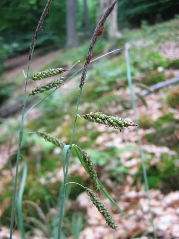
Glaucous sedge
Carex flacca501 records © Kristian Peters -- Fabelfroh 09:16, 13 July 2006 (UTC) · CC BY-SA 3.0
Observed species
Occurrences documented via GBIF; they are neither an exhaustive inventory nor proof of current presence.
- Norway spruce · Picea abies · 662
- Tormentil · Potentilla erecta · 605
- Rough hawkbit · Leontodon hispidus · 509
- Fragrant orchid · Gymnadenia conopsea · 503
- Glaucous sedge · Carex flacca · 501
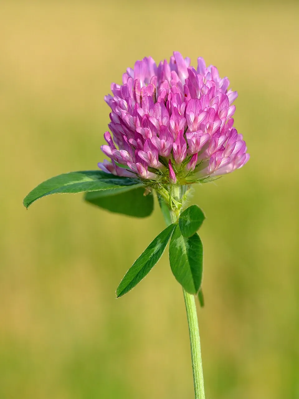
- Red clover · Trifolium pratense · 483
- Great masterwort · Astrantia major · 481
- Eurasian Chaffinch · Fringilla coelebs · 474
- Tufted hair-grass · Deschampsia cespitosa · 473
- Western Marsh-orchid · Dactylorhiza majalis · 467
- Grass-of-Parnassus · Parnassia palustris · 462
- Common Bird's-foot-trefoil · Lotus corniculatus · 458
Records: GBIF.org (CC-BY). Names: Wikidata (CC0), GBIF. Photos: Wikimedia Commons.
Conservation challenges
The primary purpose of the site is to preserve its natural habitats and the biodiversity they support. The species recorded (Biodiversity tab) reflect its ecological value. The designations it holds frame its management and the control of land use.
According to Global Forest Change data (University of Maryland, Global Forest Watch), about 359 ha of tree cover were lost within the boundary between 2001 and 2023 (2% of its area), peaking in 2009 and 2023. These losses include logging, storms and fires, and do not account for regrowth. According to CORINE Land Cover, land cover here remained almost unchanged between 1990 and 2018 (less than 0.5% of the area affected); only some 6 ha were built over. At night, 2% of the area gives off artificial light detectable from space (NASA VIIRS Black Marble composite, 2016). Built-up and developed land (buildings, business areas, roads, quarries) covers 3% of the area (CORINE Land Cover). According to the Natura 2000 forms, of 39 assessed habitats of European interest, 28 are in excellent condition and 4 in average or reduced condition. According to the Water Framework Directive assessment (2022 river basin management plans, data 2018–2019), 78% of the 79 km of rivers assessed within the site are in good or high ecological status. Since 2000, 16 invasive alien species have been recorded within the site (GBIF observations), 4 of them listed as of Union concern under EU Regulation 1143/2014. Among them: Impatiens glandulifera (Himalayan Balsam), Heracleum mantegazzianum (Giant Hogweed) and Reynoutria japonica (Japanese Knotweed).
Pressure indicators
Tree cover lost
359 ha
2001–2023 · 2% of the area
20012023
Fires since 2016
0
No large fire mapped (fires over about 30 ha)
Light at night
2%
of the area gives off artificial light visible from space
DarkLit
Built-up land
3%
buildings, business areas, roads, quarries
Land cover change
< 0.5%
of the area changed, 1990–2018 · CORINE
Rivers and lakes
78%
of the 79 km of assessed rivers in good or high ecological status · WFD 2022
assessments 2018–2019
Invasive alien species
16
incl. 4 of EU concern · since 2000
 Himalayan BalsamEU
 Giant HogweedEU
 Japanese KnotweedEU
 CoypuEU
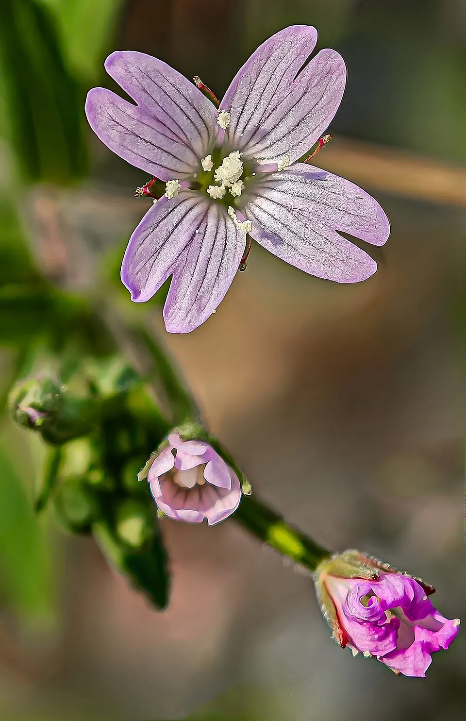 American willowherb
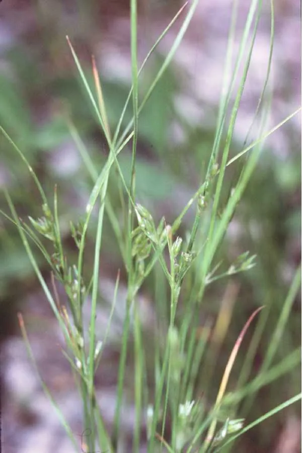 Slender rush
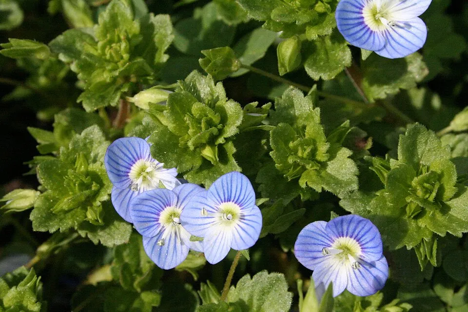 Common field-speedwell
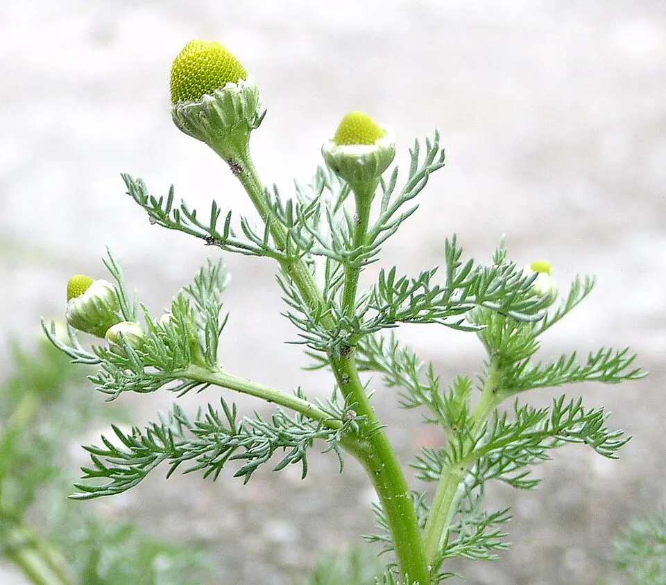 Pineappleweed
Photos: Himalayan Balsam © Guptaele · CC BY-SA 4.0; Giant Hogweed © anastasiiamerkulova · CC BY 4.0; Japanese Knotweed © W.carter · CC0-1.0; Coypu © Philippe Amelant · CC BY-SA 3.0; American willowherb © Didier Descouens · CC BY-SA 4.0; Slender rush © EVula · Public domain; Common field-speedwell © Strobilomyces · CC BY-SA 3.0; Pineappleweed © Krzysztof Ziarnek · CC BY-SA 3.0
Sources: Global Forest Change (Hansen et al., University of Maryland, via Global Forest Watch, CC-BY 4.0); EFFIS, European Commission / Copernicus; NASA Black Marble 2016 (public domain); CORINE Land Cover 2018 (Copernicus) or MODIS.
CORINE Land Cover Change 1990–2018: generated using European Union's Copernicus Land Monitoring Service information (EEA), aggregated by Parkavela; DOI 10.2909/f30f1000-7cf8-43bb-872c-5eb093911b24.
Ecological status of water bodies: European Environment Agency, WISE – Water Framework Directive, 3rd river basin management plans (2022), CC BY 4.0. Official national classification, not comparable between countries.
Invasive alien species: Global Register of Introduced and Invasive Species (ISSG, CC BY 4.0); Union list, Regulation (EU) 1143/2014 (INBO, CC0); GBIF.org records (CC0 / CC BY 4.0), at least 2 per species.
Practical information
Cities and airport
- Innsbruck
39 km as the crow flies - Kempten
46 km as the crow flies - Airport: Memmingen (FMM)
63 km as the crow flies
Visitor information
- Tourist-Information
within the site - Kur- und Tourist-Information
within the site - Verkehrsamt
2 km from the site boundary - Tourist-Information/Gemeinde Farchant
3 km from the site boundary
Things to see
32 viewpoints · 11 waterfalls · 14 lakes and ponds · 2 caves
- Zeitberg
viewpoint · 1,404 m - Bayersoiener See
lake or pond · 790 m - Bärenhöhle
cave - Aubichlaussicht
viewpoint · 861 m - Amor mit Liebespfeil
lake or pond
Where to stay
5 mountain huts · 7 campsites
- Brunnenkopfhütte
Staffed hut · 1,602 m - Ammertaler Hof Wohnmobilstellplatz
campsite - August-Schuster-Haus
Staffed hut · 1,564 m - Campingoase Reindl
campsite - Hörnlehütte
Staffed hut · 1,390 m · 24 beds
Hiking
15 waymarked routes listed, including:
E 4Via Alpina PurpleVia RomeaMaximiliansweg (Bayern)Meditationsweg Ammergauer Alpen
Trail difficulty
- T1 · easy hiking · 15% · 31 km
- T2 · mountain hiking · 50% · 121 km
- T3–T6 · demanding or alpine hiking · 40% · 92 km
244 km graded out of 375 km of paths
SAC scale (T1–T6) © OpenStreetMap contributors (ODbL): indicative only, check with the park.
By bike
AAR Ammer-Amper-Radweg · 16 kmBK Bodensee-Königssee-Radweg · 11 km
+ 4 local loops
Signed cycle routes: this does not mean that cycling is allowed on footpaths.
Wheelchair access
- Aubichlaussicht
viewpoint
accessible toilets: 12
Reported by OpenStreetMap contributors (ODbL); check with the park before visiting.
Data © OpenStreetMap contributors (ODbL) · Wikidata (CC0)
Routes © OpenStreetMap contributors (ODbL), via Waymarked Trails
Waymarked hiking routes
E4 European Long distance path E 4 - part Germany (region Oberammergau)
25.2 km within the site ↗ 1,343 m↘ 1,261 m 830–1,612 m
VA-A60 Via Alpina Purple A60
11.4 km within the site ↗ 66 m↘ 318 m 919–1,200 m
up to T2 · mountain hiking
VA-A61 Via Alpina Purple A61
5.9 km within the site ↗ 352 m↘ 6 m 947–1,298 m
up to T1 · hiking
Max Maximiliansweg (Bayern)
21.9 km within the site ↗ 1,287 m↘ 904 m 830–1,764 m
up to T3 · demanding mountain hiking
Meditationsweg Ammergauer Alpen
62 km within the site ↗ 410 m↘ 960 m 819–1,514 m
Tracks © OpenStreetMap contributors (ODbL), clipped to the boundary; elevation gain and profiles computed on the longest section from Mapzen Terrain Tiles (≈ 30 m), indicative only. Indicative difficulty (SAC scale, OpenStreetMap, via Waymarked Trails): check with the park.
Bathing
2 monitored bathing sites in or within 1 km of the site · 2025 classification
Excellent · 2
- Bayersoiener See Bad Bayersoien · lake · Excellent
- Schwaigsee Wildsteig Steg Nordseite · lake · Excellent
Source: European Environment Agency, official bathing water classification (Directive 2006/7/EC, CC-BY 4.0). Swimming is only permitted at the sites and times authorised locally.
Access and visiting
Unterammergau railway station lies within the site. Nearest towns of over 50,000 people, as the crow flies: Innsbruck (39 km) and Kempten (46 km). Nearest airport: Memmingen (FMM), about 63 km away. About 240,000 people live within 20 km of the site boundary, 91,000 of them within 10 km; some 13,000 people are estimated to live inside (GHSL estimate, 2020). Visitor information on site: Tourist-Information, Kur- und Tourist-Information and Verkehrsamt. Waymarked hiking routes listed in OpenStreetMap: 15, including E 4, Via Alpina Purple, Via Romea and Maximiliansweg (Bayern). Of the roughly 240 km of paths with a difficulty grade in OpenStreetMap, 15% are easy hiking (T1), 50% mountain hiking (T2) and 40% demanding or alpine hiking (T3–T6). This is indicative only: check with the park. The site is crossed by 2 signed cycle routes: “AAR Ammer-Amper-Radweg” and “BK Bodensee-Königssee-Radweg” (OpenStreetMap). OpenStreetMap contributors list one wheelchair-accessible place: Aubichlaussicht; check with the park before visiting. To see: 32 viewpoints, 11 waterfalls, 14 lakes and ponds and 2 caves, including Zeitberg (1,404 m), Bayersoiener See (790 m), Bärenhöhle and Aubichlaussicht (861 m). Where to stay: 5 mountain huts and 7 campsites, including Brunnenkopfhütte (1,602 m), Ammertaler Hof Wohnmobilstellplatz and August-Schuster-Haus (1,564 m). To plan a visit (access, opening periods, visitor rules), it is best to consult the official information from the managing body and the official website listed in this page's sources.
Source: OpenStreetMap (ODbL), Wikidata (CC0), October 2026.
When to visit
Mildest period: from June to August, with average temperatures of 9 to 11 °C. Average temperatures drop below 0 °C from November to March: frost is common. Precipitation peaks from May to August (up to 200 mm per month). According to NASA's MODIS satellites (2015–2025 average), snow covers most of the site from December to February, and until April on higher ground, with about 110 snow-covered days a year on average. Day length ranges from about 8 h 27 min in December to 15 h 57 min in June. Wildlife records published on GBIF peak for birds (May and June), plants (July and August), butterflies and moths (June), dragonflies (June and July) and mammals (June and July). These peaks also reflect when observers are most active.
Source: Copernicus ERA5-Land (C3S), monthly averages 1996–2025 at the representative point, temperatures adjusted for elevation.
Contains modified Copernicus Climate Change Service information 2026. Neither the European Commission nor ECMWF is responsible for any use that may be made of the Copernicus information or data it contains.
Wildlife records calendar
JFMAMJJASOND
Birds
Plants
Butterflies & moths
Dragonflies
Mammals
Monthly records published on GBIF (CC-BY), relative to the busiest month; also reflects observer activity.
Gallery
© Bjs · CC0-1.0
© Wasquewhat · CC BY-SA 4.0
© Bjs · CC BY-SA 3.0
© I. Berger · CC BY-SA 3.0
© Bjs · CC BY-SA 3.0
© Maya Kandler · CC BY-SA 4.0
Sources and licences
- Wikidata: Q55346385
- Wikipedia: de.wikipedia.org/wiki/Naturpark_Ammergauer_Alpen
References
- cds.climate.copernicus.eu: climate · CC-BY-4.0
- land.copernicus.eu: land cover, land cover change, sea share · COPERNICUS
- doi.org: population around the site · CC-BY-4.0
- wikidata.org: official area, establishment date, nearby cities and airport, access and peaks, lake depths, places to see · CC0-1.0
- eea.europa.eu: bathing water quality, ecological status of waters · CC-BY-4.0
- en.eurovelo.com: EuroVelo cycle routes · ODbL-1.0
- cycling.waymarkedtrails.org: cycle routes · ODbL-1.0
- opentopodata.org: elevations · PD
- forest-fire.emergency.copernicus.eu: wildfires · COPERNICUS
- globalforestwatch.org: tree cover loss · CC-BY-4.0
- gbif.org: seasonality of sightings, invasive alien species, observed species · CC-BY-4.0
- europe-geology.eu: geology · CC-BY-4.0
- hydrosheds.org: lakes · CC-BY-4.0
- natura2000.eea.europa.eu: Natura 2000 habitats and species · CC-BY-4.0
- openstreetmap.org: official name, access and peaks, places to see, trail difficulty, wheelchair access · ODbL-1.0
- earthobservatory.nasa.gov: night light · PD
- registry.opendata.aws: detailed relief · PD
- hiking.waymarkedtrails.org: route difficulty · ODbL-1.0
- nsidc.org: snow cover · PD
- wikidata.org: Wikipedia article · CC-BY-SA-4.0
Data © OpenStreetMap contributors (ODbL), Wikidata (CC0) and the sources cited.