Germany · Terrestrial
Nagelfluhkette Nature Park
Nature park of 15,399 hectares in Austria, established in 2008.
Overview
Nature park of 15,399 hectares in Austria, established in 2008.
Nagelfluhkette Nature Park is located in Austria (Europe). It is a predominantly terrestrial area. Established in 2008, it covers about 15,399 hectares.
Protections and designations
Natura 2000 · habitats (SAC) · 11 sites
- Felmer Moos, Großmoos und Gallmoos DE8427371
- Grünten DE8427301
- Häderichmoore DE8525301
- Hörnergruppe DE8527301
- Hühnermoos DE8428301
- Nagelfluhkette Hochgrat-Steineberg DE8426302
- and 5 more
Natura 2000 · birds (SPA)
- Hoher Ifen und Piesenkopf DE8626401
Protected as a nature park. International labels and designations: Natura 2000 network (12 sites). Key dates: first Natura 2000 site under the Habitats Directive in 2004, first Natura 2000 site under the Birds Directive in 2006 and established in 2008.
In our collections
Timeline
-
2004
First Natura 2000 site under the Habitats Directive 11 such sites designated up to 2008
-
2006
First Natura 2000 site under the Birds Directive
-
2008
Established
Sources: Wikidata (CC0) for establishment and international labels; EEA Natura 2000 database (CC-BY 4.0) for site designation dates.
Frequently asked questions
Where is Nagelfluhkette Nature Park?
In Austria (Europe). Representative point: 47.4892° N, 10.0375° E.
How large is Nagelfluhkette Nature Park?
About 15,399 hectares (154 km²). It is the 7th largest of the 21 nature parks in Austria covered by Parkavela.
When was Nagelfluhkette Nature Park established?
In 2008.
What habitats and landscapes does Nagelfluhkette Nature Park include?
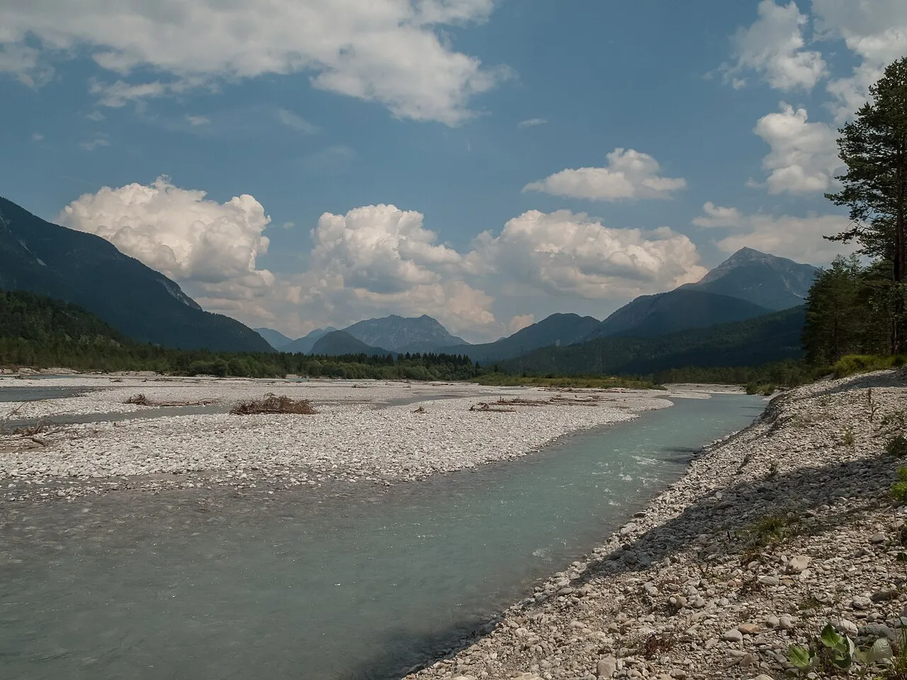
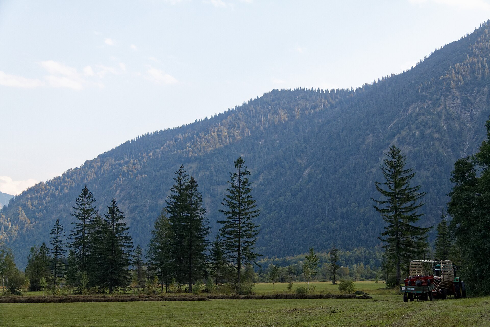
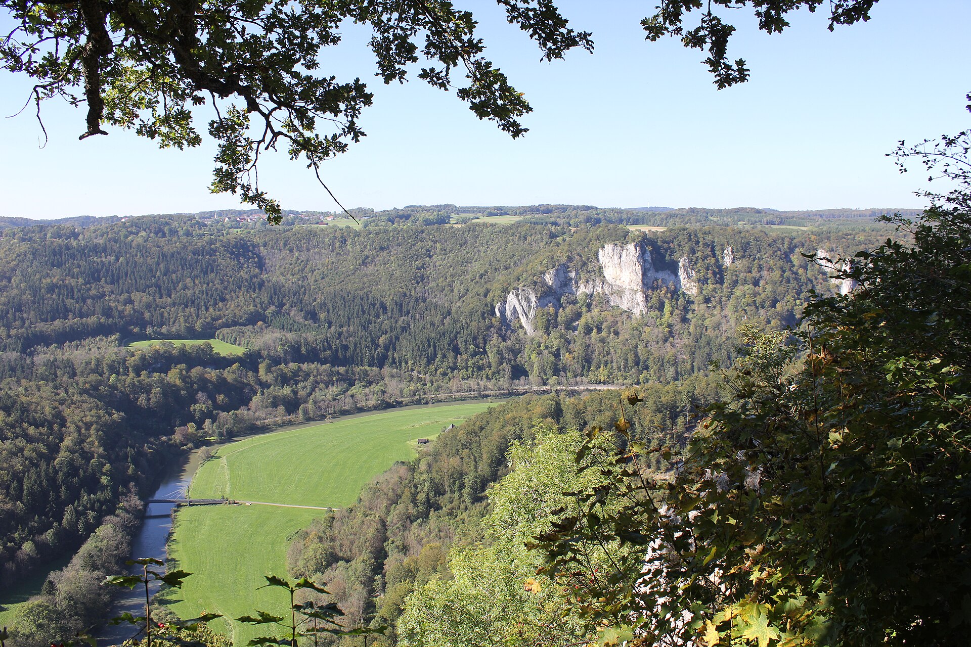
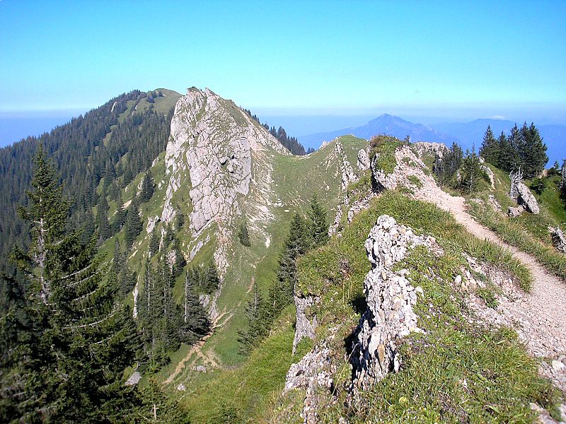
A terrestrial area, with forests and mountains.
What rocks lie beneath Nagelfluhkette Nature Park?
According to the European 1:1 million geological map (EGDI), the bedrock consists mainly of sandstones (64% of sampled points), limestones (21%) and sands and gravels (14%). These are mostly sedimentary rocks. The geological units date mainly from the Cenozoic (50% of sampled points).
What is the highest point of Nagelfluhkette Nature Park?
Hochgrat, at 1,834 m (OpenStreetMap).
What are the main summits of Nagelfluhkette Nature Park?
Hochgrat (1,834 m), Rindalphorn (1,821 m), Gelchenwanger Kopf (1,812 m), Riedberger Horn (1,787 m) and Buralpkopf (1,772 m) (OpenStreetMap).
Which international labels apply to Nagelfluhkette Nature Park?
Natura 2000 network (12 sites).
When is the best time to visit Nagelfluhkette Nature Park?
Mildest period: from June to August, with average temperatures of 10 to 12 °C.
Is there snow in Nagelfluhkette Nature Park?
Yes. According to NASA's MODIS satellites (2015–2025 average), snow covers most of the site from December to March, and until April on higher ground, with about 120 snow-covered days a year on average.
What is there to see in Nagelfluhkette Nature Park?
3 waterfalls and 3 lakes and ponds, including Buchenegger Wasserfälle (773 m), Großer Alpsee (725 m), Osterdorfer Wasserfall (815 m) and Teufelssee (725 m) (Wikidata).
Where can I stay in Nagelfluhkette Nature Park?
3 mountain huts, including Grüntenhaus (1,535 m), Kemptener Naturfreundehaus (1,416 m) and Almagmach Unterkunftshaus (1,149 m) (Wikidata).
Can you swim in Nagelfluhkette Nature Park?
2 monitored bathing sites lie in or within 1 km of the site; official 2025 classification: 2 excellent (European Environment Agency). Swimming is only permitted at the sites and times authorised locally.
What is the nearest large city to Nagelfluhkette Nature Park?
Nearest towns of over 50,000 people, as the crow flies: Kempten (12 km) and Ravensburg (40 km). Nearest airport: Friedrichshafen (FDH), about 38 km away.
How can I reach Nagelfluhkette Nature Park by train?
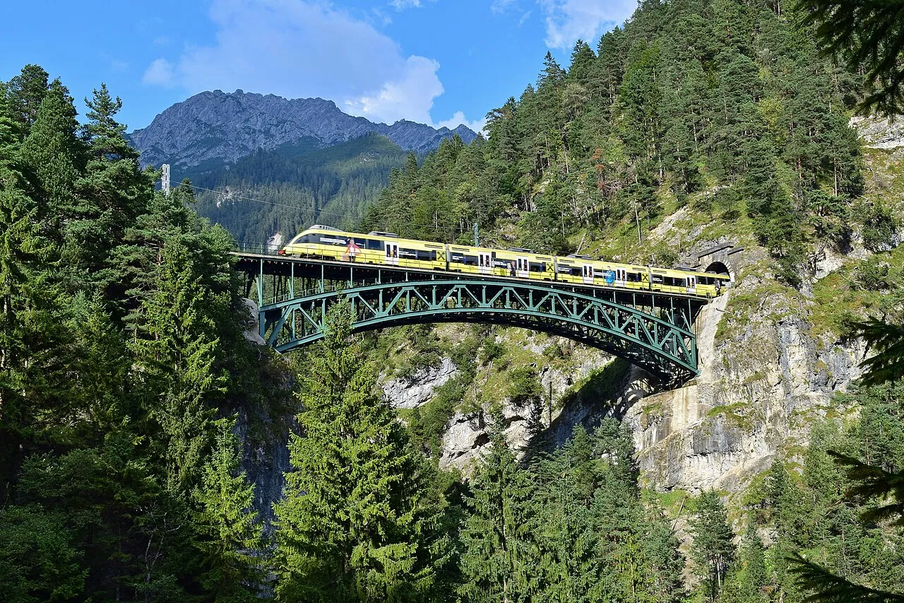
Blaichach (Allgäu) railway station lies within the site.
Where can I get visitor information on site?
Tourist-Info Steibis, Verkehrsamt and Tourist-Info Blaichach.
Are there waymarked hiking trails in Nagelfluhkette Nature Park?
Yes. Waymarked hiking routes listed in OpenStreetMap: 29, including E 4, E 5, Nord Süd Trail, Abschnitt Weiler im Allgäu and Jakobsweg Tirol. The “NST · Nord Süd Trail, Abschnitt Weiler im Allgäu - Ofterschwang” route runs for about 63 km through the site, with some 1,900 m of ascent on its longest section.
Which species can be seen in Nagelfluhkette Nature Park?
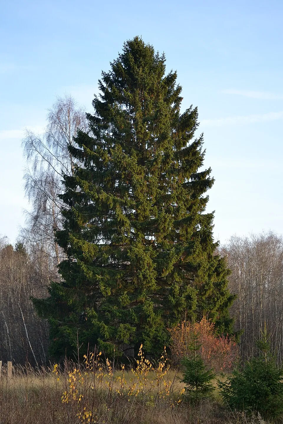
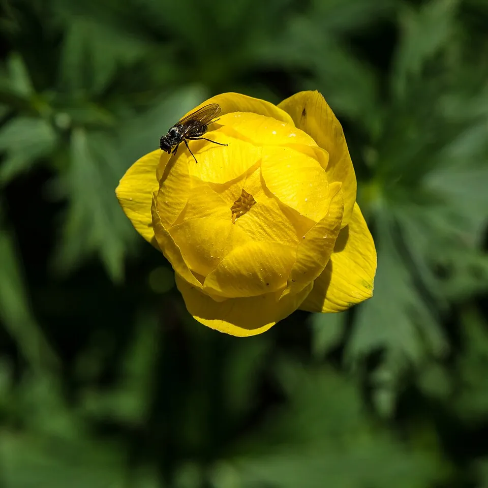
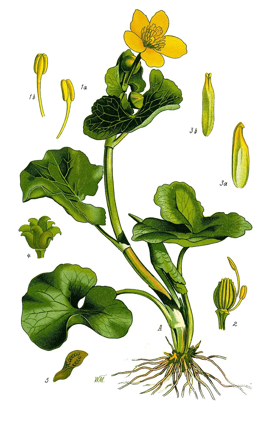
Among the species most often recorded on GBIF are Picea abies (Norway spruce), Gentiana asclepiadea (Willow Gentian), Trollius europaeus (European globeflower) and Caltha palustris (Marsh-marigold).
What is the official website of Nagelfluhkette Nature Park?
© OpenStreetMap
Download the boundary: GeoJSON · GPX Boundary © OpenStreetMap contributors (ODbL).
Geography
The representative point of the site lies at around 1,614 m above sea level. Over the 1996–2025 period, the mean annual temperature is about 2.2 °C and total precipitation reaches roughly 1,776 mm per year. The warmest month is usually July, the coolest January, and the wettest July. According to the European 1:1 million geological map (EGDI), the bedrock consists mainly of sandstones (64% of sampled points), limestones (21%) and sands and gravels (14%). These are mostly sedimentary rocks. The geological units date mainly from the Cenozoic (50% of sampled points). The site contains 2 lakes larger than 10 ha, totalling 2.3 km² of water; the largest, Großer Alpsee, covers 2.2 km² (HydroLAKES). Großer Alpsee (247 ha) is 22.7 m deep (Wikidata).
Area
- Area
- 15,399 ha
- Elevation
- 1,614 m
- Median elevation
- 1,153 m
- Mean slope
- 17°
- Snow cover
- ≈ 120 days a year
- Lakes over 10 ha
- 2 (2.3 km²)
- Coordinates
- 47.4892, 10.0375
Terrain: Mapzen Terrain Tiles (SRTM, USGS; © offene Daten Österreichs – Digitales Geländemodell (DGM) Österreich, CC BY 3.0 AT) · Lakes: HydroLAKES (Messager et al. 2016, hydrosheds.org, CC BY 4.0) · depths: Wikidata (CC0)
Elevation bands
- 500–1,000 m 30%
- 1,000–1,500 m 63%
- 1,500–2,000 m 8%
share of the site in each elevation band (smoothed terrain model: summits are rounded off) · Terrain: Mapzen Terrain Tiles (SRTM, USGS; © offene Daten Österreichs – Digitales Geländemodell (DGM) Österreich, CC BY 3.0 AT)
Bedrock
- Sandstones 64 %
- Limestones 21 %
- Sands and gravels 14 %
Sedimentary rocks 100 % · Main age: Cenozoic (50%)
Source: EGDI 1:1M geological map (EuroGeoSurveys and national geological surveys), CC BY 4.0 · 14 sampled points within the site.
Main summits
- Hochgrat1,834 m
- Rindalphorn1,821 m
- Gelchenwanger Kopf1,812 m
- Riedberger Horn1,787 m
- Buralpkopf1,772 m
- Stuiben1,749 m
- Gündleskopf1,748 m
- Siplingerkopf1,746 m
- Übelhorn1,738 m
- Sedererstuiben1,737 m
Data © OpenStreetMap contributors (ODbL)
Climate
● Mean temperature (°C) · ▮ Precipitation (mm)
Source: Copernicus ERA5-Land (C3S, doi:10.24381/cds.68d2bb30), monthly averages 1996–2025 interpolated to the representative point, temperatures adjusted for elevation.
Contains modified Copernicus Climate Change Service information 2026. Neither the European Commission nor ECMWF is responsible for any use that may be made of the Copernicus information or data it contains.
Snow cover measured by satellite
J
F
M
A
M
J
J
A
S
O
N
D
average share of the site under snow · snowiest parts · ≈ 120 days a year
Snow cover: MODIS/Terra MOD10CM v61 (Hall & Riggs, 2021, NASA NSIDC DAAC, doi:10.5067/MODIS/MOD10CM.061), imagery from NASA GIBS (ESDIS); 2015–2025 average, grid of about 5 km.
Natural habitats
According to CORINE Land Cover (2018), the site is mainly made up of forests (50%) and grassland and meadows (46%). Woodland is mostly coniferous. Elevation ranges from about 730 m to 1,834 m (highest point: Hochgrat). Median elevation is 1,153 m, and 70% of the site lies above 1,000 m (SRTM and DGM Österreich elevation models). The terrain is steep: 11% of slopes exceed 30° (mean slope 17°). The 12 Natura 2000 sites overlapping the area list 30 habitats of European interest (9 priority), the most extensive being Asperulo-Fagetum beech forests, alpine and subalpine calcareous grasslands and siliceous alpine and boreal grasslands.
Biodiversity
Based on occurrences aggregated by GBIF, several species are regularly recorded within the site. Among the most frequent are Picea abies (Norway spruce), Gentiana asclepiadea (Willow Gentian), Trollius europaeus (European globeflower) and Caltha palustris (Marsh-marigold). The full list of documented taxa is shown below. The overlapping Natura 2000 sites list 29 species of European interest: 21 birds, 1 fish, 4 invertebrates and 3 plants.
Habitats of European interest
From the official forms of the 12 Natura 2000 sites overlapping the area (areas reported for each whole site).
- Asperulo-Fagetum beech forests 760 ha
- Alpine and subalpine calcareous grasslands 625 ha
- Siliceous alpine and boreal grasslands 605 ha
- Calcareous rocky slopes with chasmophytic vegetation 446 ha
- Acidophilous Picea forests of the montane to alpine levels (Vaccinio-Piceetea) 370 ha
- Hydrophilous tall herb fringe communities of plains and of the montane to alpine levels 287 ha
- Tilio-Acerion forests of slopes, screes and ravines priority 225 ha
- Species-rich Nardus grasslands, on silicious substrates in mountain areas (and submountain areas in Continental Europe) priority 213 ha
and 22 more
Species of European interest
Birds · 21
Common Sandpiper (Actitis hypoleucos) breeding, Boreal Owl (Aegolius funereus) breeding, Water Pipit (Anthus spinoletta) breeding, Golden Eagle (Aquila chrysaetos) breeding, Hazel Grouse (Bonasa bonasia) resident breeding, Eurasian Eagle-owl (Bubo bubo) breeding, Citril Finch (Carduelis citrinella) breeding, White-backed Woodpecker (Dendrocopos leucotos) resident breeding, Black Woodpecker (Dryocopus martius) resident breeding, Peregrine Falcon (Falco peregrinus) breeding, Eurasian Pygmy Owlet (Glaucidium passerinum) breeding, Rock Ptarmigan (Lagopus muta helvetica) breeding and 9 more
Fish · 1
Invertebrates · 4
Marsh fritillary (Euphydryas aurinia), Yellow-spotted Whiteface (Leucorrhinia pectoralis), Dusky Large Blue (Maculinea nausithous), Apollo (Parnassius apollo)
Plants · 3
Lady's-slipper orchid (Cypripedium calceolus), Distichophyllum carinatum, Field Macewort (Mannia triandra)
Source: Natura 2000 standard data forms (EEA, CC-BY 4.0). Not exhaustive: sensitive species are not published.
Species to look out for
Observed species
Occurrences documented via GBIF; they are neither an exhaustive inventory nor proof of current presence.
- Norway spruce · Picea abies · 709
- Willow Gentian · Gentiana asclepiadea · 706
- European globeflower · Trollius europaeus · 643
- Marsh-marigold · Caltha palustris · 637
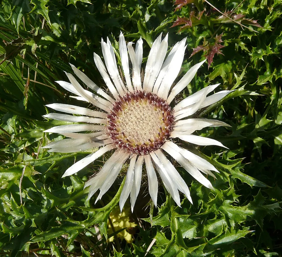
- Stemless carline thistle · Carlina acaulis · 617
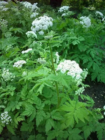
- Hairy Chervil · Chaerophyllum hirsutum · 558
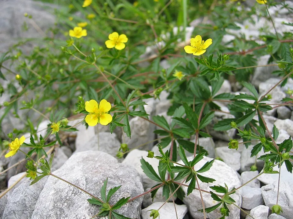
- Tormentil · Potentilla erecta · 556
- Fragrant orchid · Gymnadenia conopsea · 500
- Bilberry · Vaccinium myrtillus · 499
- Quaking grass · Briza media · 484
- Grey Alder · Alnus incana · 470
- Coltsfoot · Tussilago farfara · 468
+18 more species
- Oxlip · Primula elatior · 468
- Grass-of-Parnassus · Parnassia palustris · 452
- Great masterwort · Astrantia major · 451
- Glaucous sedge · Carex flacca · 448
- Colonial bentgrass · Agrostis capillaris · 447
- Rough hawkbit · Leontodon hispidus · 447
- Meadowsweet · Filipendula ulmaria · 442
- Aconite-leaf buttercup · Ranunculus aconitifolius · 434
- Red clover · Trifolium pratense · 422
- Soft rush · Juncus effusus · 421
- White False-helleborine · Veratrum album · 415
- Carnation sedge · Carex panicea · 412
- Marsh hawk's-beard · Crepis paludosa · 411
- Water avens · Geum rivale · 409
- Common Sedge · Carex nigra · 407
- Sycamore · Acer pseudoplatanus · 406
- Brown knapweed · Centaurea jacea · 404
- Rowan · Sorbus aucuparia · 402
Records: GBIF.org (CC-BY). Names: Wikidata (CC0), GBIF. Photos: Wikimedia Commons.
Conservation challenges
The primary purpose of the site is to preserve its natural habitats and the biodiversity they support. The species recorded (Biodiversity tab) reflect its ecological value. The designations it holds frame its management and the control of land use.
According to Global Forest Change data (University of Maryland, Global Forest Watch), about 858 ha of tree cover were lost within the boundary between 2001 and 2023 (6% of its area). These losses include logging, storms and fires, and do not account for regrowth. According to CORINE Land Cover, land cover here remained almost unchanged between 1990 and 2018 (less than 0.5% of the area affected); only some 17 ha were built over. At night, the area gives off virtually no artificial light detectable from space (NASA VIIRS Black Marble composite, 2016). Built-up and developed land (buildings, business areas, roads, quarries) covers 2% of the area (CORINE Land Cover). According to the Natura 2000 forms, of 30 assessed habitats of European interest, 23 are in excellent condition and 2 in average or reduced condition. According to the Water Framework Directive assessment (2022 river basin management plans, data 2016–2021), 82% of the 106 km of rivers assessed within the site are in good or high ecological status. Other assessed water bodies: lakes, 0 of 1 in good ecological status or better. Since 2000, 22 invasive alien species have been recorded within the site (GBIF observations), 5 of them listed as of Union concern under EU Regulation 1143/2014. Among them: Impatiens glandulifera (Himalayan Balsam), Trachemys scripta (Pond slider) and Heracleum mantegazzianum (Giant Hogweed).
Pressure indicators
Tree cover lost
858 ha
2001–2023 · 6% of the area
20012023
Fires since 2016
0
No large fire mapped (fires over about 30 ha)
Light at night
< 1%
of the area gives off artificial light visible from space
DarkLit
Built-up land
2%
buildings, business areas, roads, quarries
Land cover change
< 0.5%
of the area changed, 1990–2018 · CORINE
Rivers and lakes
82%
of the 106 km of assessed rivers in good or high ecological status · WFD 2022
Lakes: 0 of 1 good or better
assessments 2016–2021
Invasive alien species
22
incl. 5 of EU concern · since 2000
 Himalayan BalsamEU
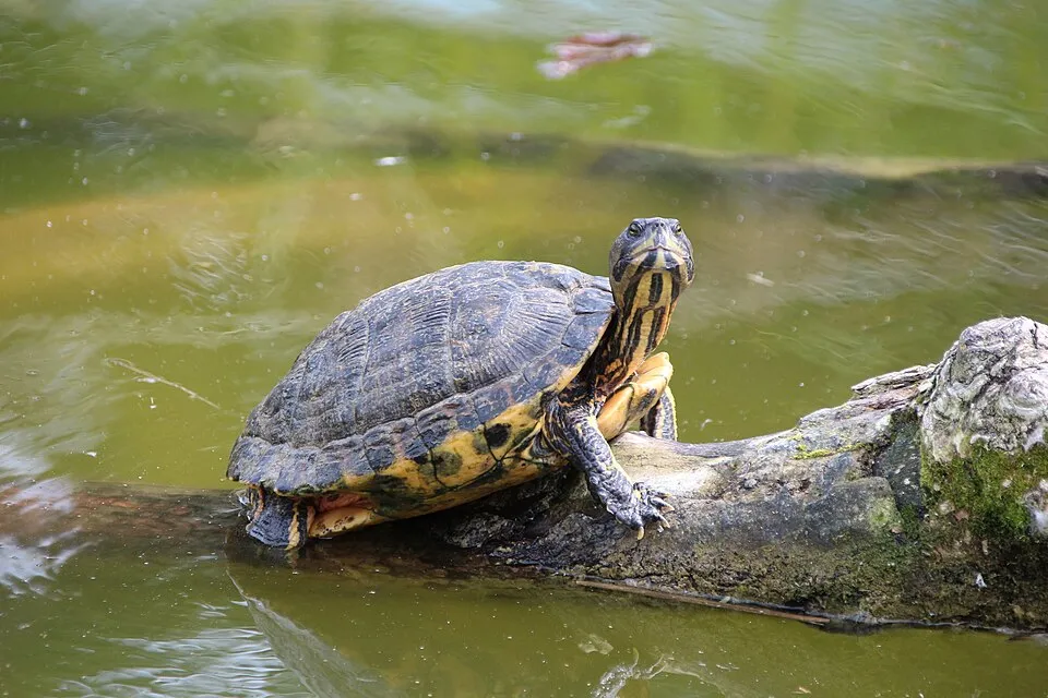 Pond sliderEU
 Giant HogweedEU
 Japanese KnotweedEU
 Egyptian GooseEU
 Mute Swan
Asian Lady Beetle
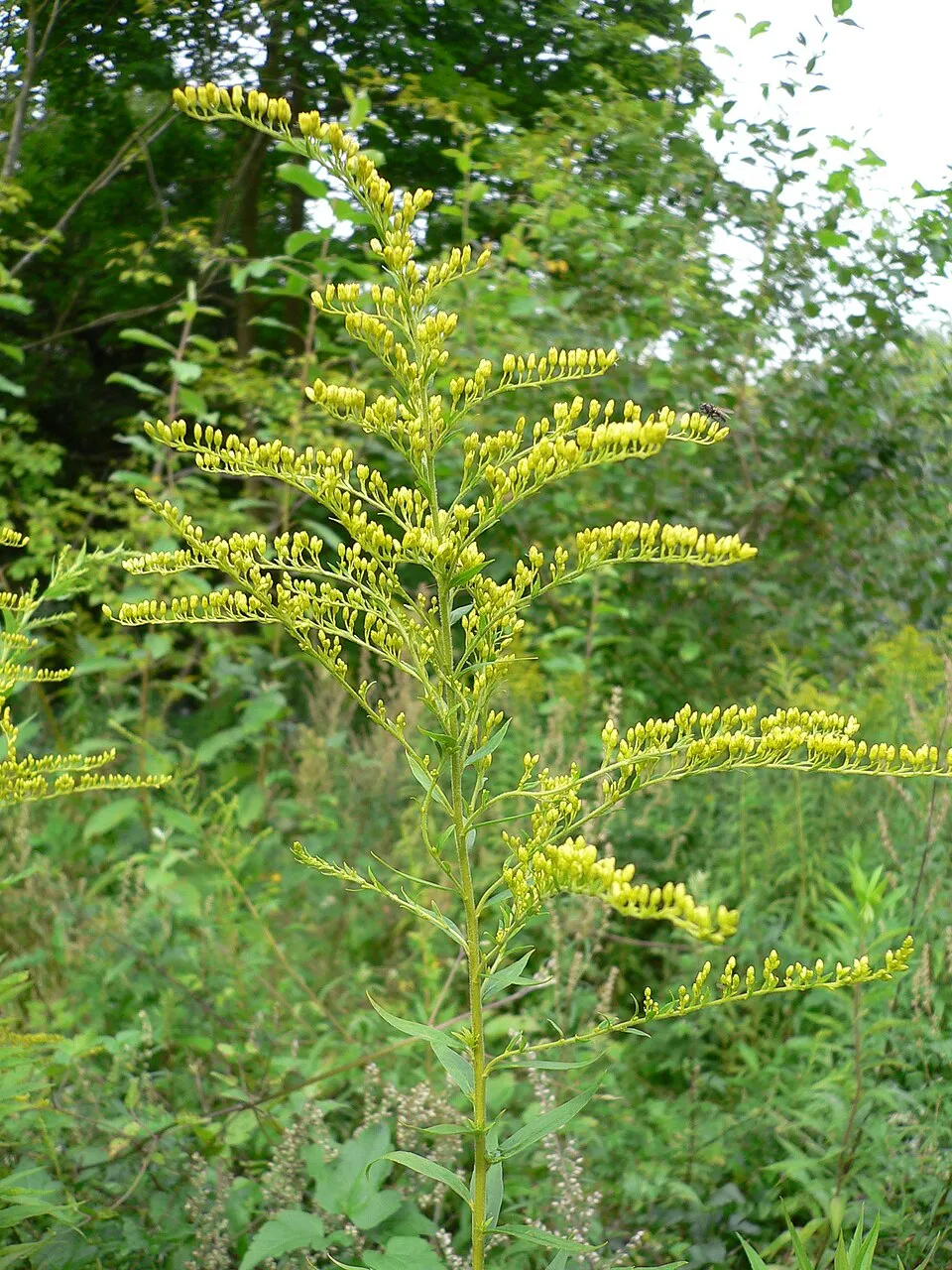 Canada goldenrod
Photos: Himalayan Balsam © Guptaele · CC BY-SA 4.0; Pond slider © Viva.Chelonia · CC BY 2.0; Giant Hogweed © anastasiiamerkulova · CC BY 4.0; Japanese Knotweed © W.carter · CC0-1.0; Egyptian Goose © Rhododendrites · CC BY-SA 4.0; Mute Swan © Geni · CC BY-SA 4.0; Canada goldenrod © Georg Slickers · CC BY-SA 4.0
Sources: Global Forest Change (Hansen et al., University of Maryland, via Global Forest Watch, CC-BY 4.0); EFFIS, European Commission / Copernicus; NASA Black Marble 2016 (public domain); CORINE Land Cover 2018 (Copernicus) or MODIS.
CORINE Land Cover Change 1990–2018: generated using European Union's Copernicus Land Monitoring Service information (EEA), aggregated by Parkavela; DOI 10.2909/f30f1000-7cf8-43bb-872c-5eb093911b24.
Ecological status of water bodies: European Environment Agency, WISE – Water Framework Directive, 3rd river basin management plans (2022), CC BY 4.0. Official national classification, not comparable between countries.
Invasive alien species: Global Register of Introduced and Invasive Species (ISSG, CC BY 4.0); Union list, Regulation (EU) 1143/2014 (INBO, CC0); GBIF.org records (CC0 / CC BY 4.0), at least 2 per species.
Practical information
Cities and airport
- Kempten
12 km as the crow flies - Ravensburg
40 km as the crow flies - Airport: Friedrichshafen (FDH)
38 km as the crow flies
Visitor information
- Tourist-Info Steibis
within the site - Verkehrsamt
within the site - Tourist-Info Blaichach
within the site - Tourist-Info
within the site
Things to see
3 waterfalls · 3 lakes and ponds
- Buchenegger Wasserfälle
waterfall · 773 m - Großer Alpsee
lake or pond · 725 m - Osterdorfer Wasserfall
waterfall · 815 m - Teufelssee
lake or pond · 725 m - Scheuenwasserfall
waterfall · 1,246 m
Where to stay
3 mountain huts
- Grüntenhaus
mountain hut · 1,535 m - Kemptener Naturfreundehaus
mountain hut · 1,416 m - Almagmach Unterkunftshaus
mountain hut · 1,149 m
Hiking
29 waymarked routes listed, including:
E 4E 5Nord Süd Trail, Abschnitt Weiler im AllgäuJakobsweg TirolMaximiliansweg (Bayern)Schwäbisch-Allgäuer-Weitwanderweg
Trail difficulty
- T1 · easy hiking · 20% · 46 km
- T2 · mountain hiking · 75% · 164 km
- T3–T6 · demanding or alpine hiking · 5% · 13 km
223 km graded out of 419 km of paths
SAC scale (T1–T6) © OpenStreetMap contributors (ODbL): indicative only, check with the park.
By bike
RRA Radrunde Allgäu · 26 kmBK Bodensee-Königssee-Radweg · 21 kmILL Iller-Radweg · 4 km
+ 6 local loops
Signed cycle routes: this does not mean that cycling is allowed on footpaths.
Wheelchair access
- Tourist-Info
visitor information - Blick auf Oberstdorfer Berge
viewpoint
accessible toilets: 6
Reported by OpenStreetMap contributors (ODbL); check with the park before visiting.
Data © OpenStreetMap contributors (ODbL) · Wikidata (CC0)
Routes © OpenStreetMap contributors (ODbL), via Waymarked Trails
Waymarked hiking routes
E5 Chemin de randonnée Européen E5, Allemagne
21.5 km within the site ↗ 1,468 m↘ 1,667 m 852–1,790 m
NST Nord Süd Trail, Abschnitt Weiler im Allgäu - Ofterschwang
62.6 km within the site ↗ 1,903 m↘ 1,537 m 696–1,790 m
Schwäbisch-Allgäuer-Weitwanderweg
3.4 km within the site ↗ 15 m↘ 21 m 1,002–1,029 m
13 Wandertrilogie Etappe 13 Alpe Gund - Immenstadt/Bühl am Alpsee
6.1 km within the site ↗ 6 m↘ 735 m 754–1,488 m
Tracks © OpenStreetMap contributors (ODbL), clipped to the boundary; elevation gain and profiles computed on the longest section from Mapzen Terrain Tiles (≈ 30 m), indicative only.
Bathing
2 monitored bathing sites in or within 1 km of the site · 2025 classification
Excellent · 2
- Grosser Alpsee Immenstadt Iallgaeu Landkreisbadestelle an der B 308 · lake · Excellent
- Kleiner Alpsee Immenstadt Iallgaeu Freibadeanstalt am Sprungturm · lake · Excellent
Source: European Environment Agency, official bathing water classification (Directive 2006/7/EC, CC-BY 4.0). Swimming is only permitted at the sites and times authorised locally.
Access and visiting
Blaichach (Allgäu) railway station lies within the site. Nearest towns of over 50,000 people, as the crow flies: Kempten (12 km) and Ravensburg (40 km). Nearest airport: Friedrichshafen (FDH), about 38 km away. About 410,000 people live within 20 km of the site boundary, 140,000 of them within 10 km; some 17,000 people are estimated to live inside (GHSL estimate, 2020). This population has grown by about 8% since 2000. Visitor information on site: Tourist-Info Steibis, Verkehrsamt and Tourist-Info Blaichach. Waymarked hiking routes listed in OpenStreetMap: 29, including E 4, E 5, Nord Süd Trail, Abschnitt Weiler im Allgäu and Jakobsweg Tirol. Of the roughly 220 km of paths with a difficulty grade in OpenStreetMap, 20% are easy hiking (T1), 75% mountain hiking (T2) and 5% demanding or alpine hiking (T3–T6). This is indicative only: check with the park. The site is crossed by 3 signed cycle routes, including “RRA Radrunde Allgäu” and “BK Bodensee-Königssee-Radweg” (OpenStreetMap). OpenStreetMap contributors list 2 wheelchair-accessible places: Tourist-Info and Blick auf Oberstdorfer Berge; check with the park before visiting. To see: 3 waterfalls and 3 lakes and ponds, including Buchenegger Wasserfälle (773 m), Großer Alpsee (725 m), Osterdorfer Wasserfall (815 m) and Teufelssee (725 m). Where to stay: 3 mountain huts, including Grüntenhaus (1,535 m), Kemptener Naturfreundehaus (1,416 m) and Almagmach Unterkunftshaus (1,149 m). To plan a visit (access, opening periods, visitor rules), it is best to consult the official information from the managing body and the official website listed in this page's sources.
Source: OpenStreetMap (ODbL), Wikidata (CC0), October 2026.
When to visit
Mildest period: from June to August, with average temperatures of 10 to 12 °C. Average temperatures drop below 0 °C from November to March: frost is common. Precipitation peaks from May to August (up to 210 mm per month). These averages apply to the site's representative point (1,614 m); higher up it is markedly cooler and snow lasts longer. According to NASA's MODIS satellites (2015–2025 average), snow covers most of the site from December to March, and until April on higher ground, with about 120 snow-covered days a year on average. Day length ranges from about 8 h 28 min in December to 15 h 56 min in June. Wildlife records published on GBIF peak for birds (May), plants (June and July), butterflies and moths (July), dragonflies (from June to August) and mammals (July and August). These peaks also reflect when observers are most active.
Source: Copernicus ERA5-Land (C3S), monthly averages 1996–2025 at the representative point, temperatures adjusted for elevation.
Contains modified Copernicus Climate Change Service information 2026. Neither the European Commission nor ECMWF is responsible for any use that may be made of the Copernicus information or data it contains.
Wildlife records calendar
JFMAMJJASOND
Birds
Plants
Butterflies & moths
Dragonflies
Mammals
Monthly records published on GBIF (CC-BY), relative to the busiest month; also reflects observer activity.
Gallery
© Dark Avenger · CC BY-SA 3.0
© Mitwirkende bei openstreetmap · CC BY-SA 4.0
© Jan Czeczotka · CC BY-SA 4.0
© Angela Bettina Waltner · CC BY-SA 4.0
© Periphrastika · CC BY-SA 4.0
© Openstreetmap Mitwirkende · CC BY 4.0
Sources and licences
- Wikidata: Q1260267
- OpenStreetMap: relation 3894713
- Official website: http://www.nagelfluhkette.info
- Wikipedia: en.wikipedia.org/wiki/Nagelfluhkette_Nature_Park
References
- cds.climate.copernicus.eu: climate · CC-BY-4.0
- registry.opendata.aws: elevation of the reference point, detailed relief · CC-BY-3.0
- land.copernicus.eu: land cover, land cover change, sea share · COPERNICUS
- doi.org: population around the site · CC-BY-4.0
- wikidata.org: official area, establishment date, protected heritage, nearby cities and airport, access and peaks, lake depths, places to see, official website · CC0-1.0
- eea.europa.eu: bathing water quality, ecological status of waters · CC-BY-4.0
- en.eurovelo.com: EuroVelo cycle routes · ODbL-1.0
- cycling.waymarkedtrails.org: cycle routes · ODbL-1.0
- opentopodata.org: elevations · PD
- forest-fire.emergency.copernicus.eu: wildfires · COPERNICUS
- globalforestwatch.org: tree cover loss · CC-BY-4.0
- gbif.org: seasonality of sightings, invasive alien species, observed species · CC-BY-4.0
- europe-geology.eu: geology · CC-BY-4.0
- hydrosheds.org: lakes · CC-BY-4.0
- natura2000.eea.europa.eu: Natura 2000 habitats and species · CC-BY-4.0
- openstreetmap.org: official name, access and peaks, trail difficulty, wheelchair access · ODbL-1.0
- earthobservatory.nasa.gov: night light · PD
- hiking.waymarkedtrails.org: route difficulty · ODbL-1.0
- nsidc.org: snow cover · PD
- wikidata.org: Wikipedia article · CC-BY-SA-4.0
Data © OpenStreetMap contributors (ODbL), Wikidata (CC0) and the sources cited.