Austria · Terrestrial
Tyrolean Lech Nature Park
Nature park of 4,140 hectares in Austria.
Overview
Nature park of 4,140 hectares in Austria.
Tyrolean Lech Nature Park is located in Austria (Europe). It is a predominantly terrestrial area. It covers about 4,140 hectares.
Protections and designations
Natura 2000 · habitats (SAC)
- Tiroler Lech AT3309000
Natura 2000 · birds (SPA)
- Tiroler Lech AT3309000
Protected as a nature park. International labels and designations: Natura 2000 network (1 site: “Tiroler Lech”). Key dates: first Natura 2000 site under the Birds Directive in 2000 and first Natura 2000 site under the Habitats Directive in 2005.
In our collections
Timeline
-
2000
First Natura 2000 site under the Birds Directive
-
2005
First Natura 2000 site under the Habitats Directive
Sources: Wikidata (CC0) for establishment and international labels; EEA Natura 2000 database (CC-BY 4.0) for site designation dates.
Frequently asked questions
Where is Tyrolean Lech Nature Park?
In Austria (Europe). Representative point: 47.4419° N, 10.6460° E.
How large is Tyrolean Lech Nature Park?
About 4,140 hectares (41 km²). It is the 15th largest of the 21 nature parks in Austria covered by Parkavela.
What habitats and landscapes does Tyrolean Lech Nature Park include?
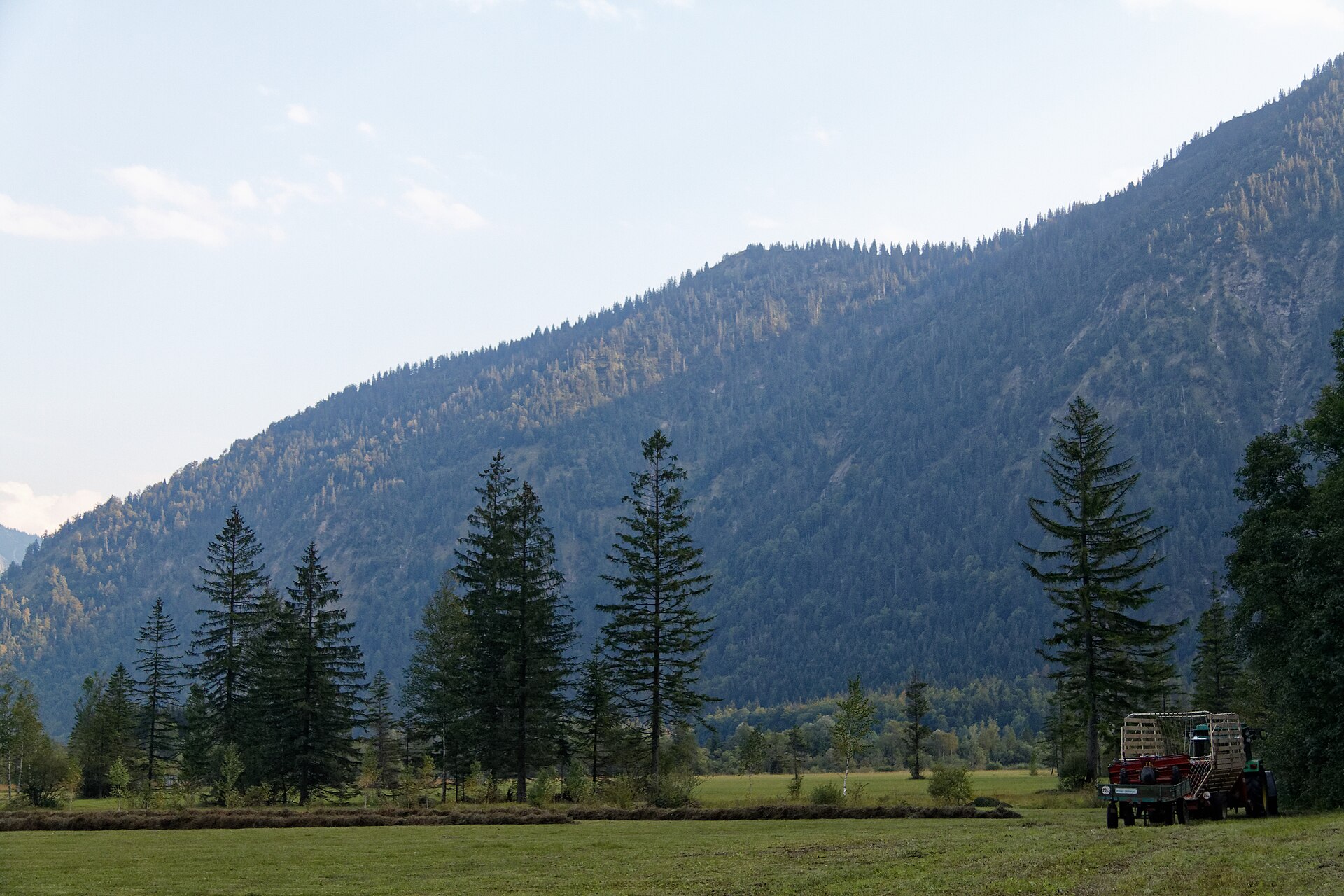
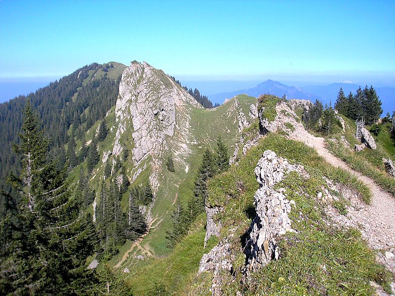
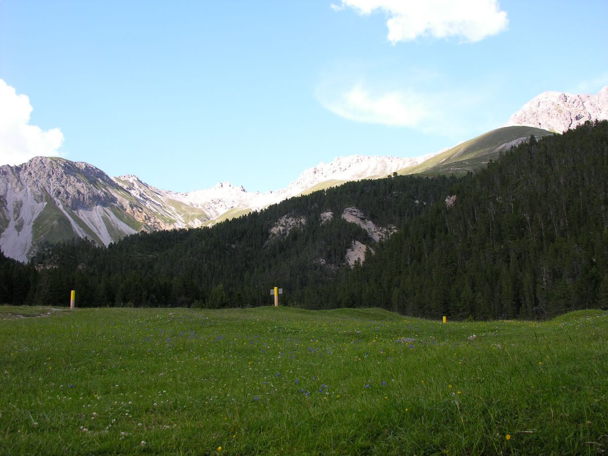
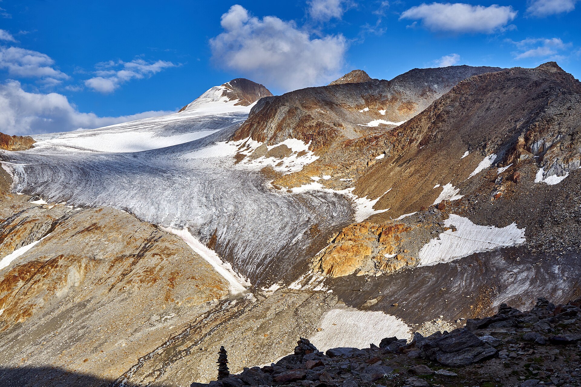
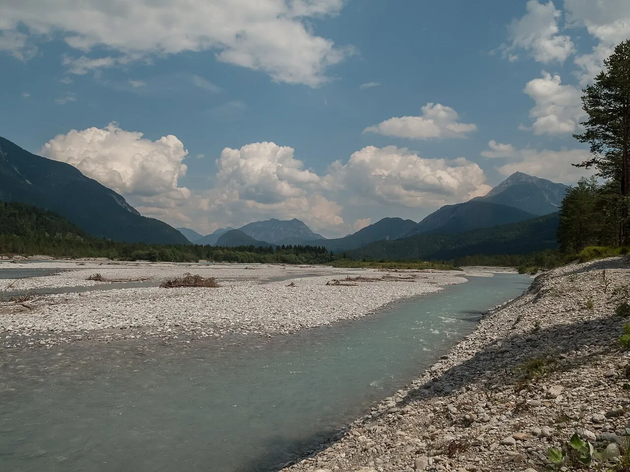
A terrestrial area, with forests and mountains.
What are the main summits of Tyrolean Lech Nature Park?
Ranzenkopf (1,001 m), Kleiner Zwischenberg (849 m) and Hüttenbichl (845 m) (OpenStreetMap).
Which international labels apply to Tyrolean Lech Nature Park?
Natura 2000 network (1 site: “Tiroler Lech”).
When is the best time to visit Tyrolean Lech Nature Park?
Mildest period: from June to August, with average temperatures of 15 to 17 °C.
Is there snow in Tyrolean Lech Nature Park?
Yes. According to NASA's MODIS satellites (2015–2025 average), snow covers most of the site from November to March, and until April on higher ground, with about 145 snow-covered days a year on average.
Are there historic monuments in Tyrolean Lech Nature Park?
Yes. According to Wikidata, 2 monuments listed as protected monuments in Austria stand within the boundary. For example: “Wayside chapel Unterpinswang” in Pinswang and “Wappen” in Elbigenalp.
Can you swim in Tyrolean Lech Nature Park?
4 monitored bathing sites lie in or within 1 km of the site; official 2025 classification: 4 excellent (European Environment Agency). Swimming is only permitted at the sites and times authorised locally.
What is the nearest large city to Tyrolean Lech Nature Park?
Nearest towns of over 50,000 people, as the crow flies: Kempten (28 km) and Innsbruck (56 km). Nearest airport: Innsbruck (INN), about 53 km away.
How can I reach Tyrolean Lech Nature Park by train?
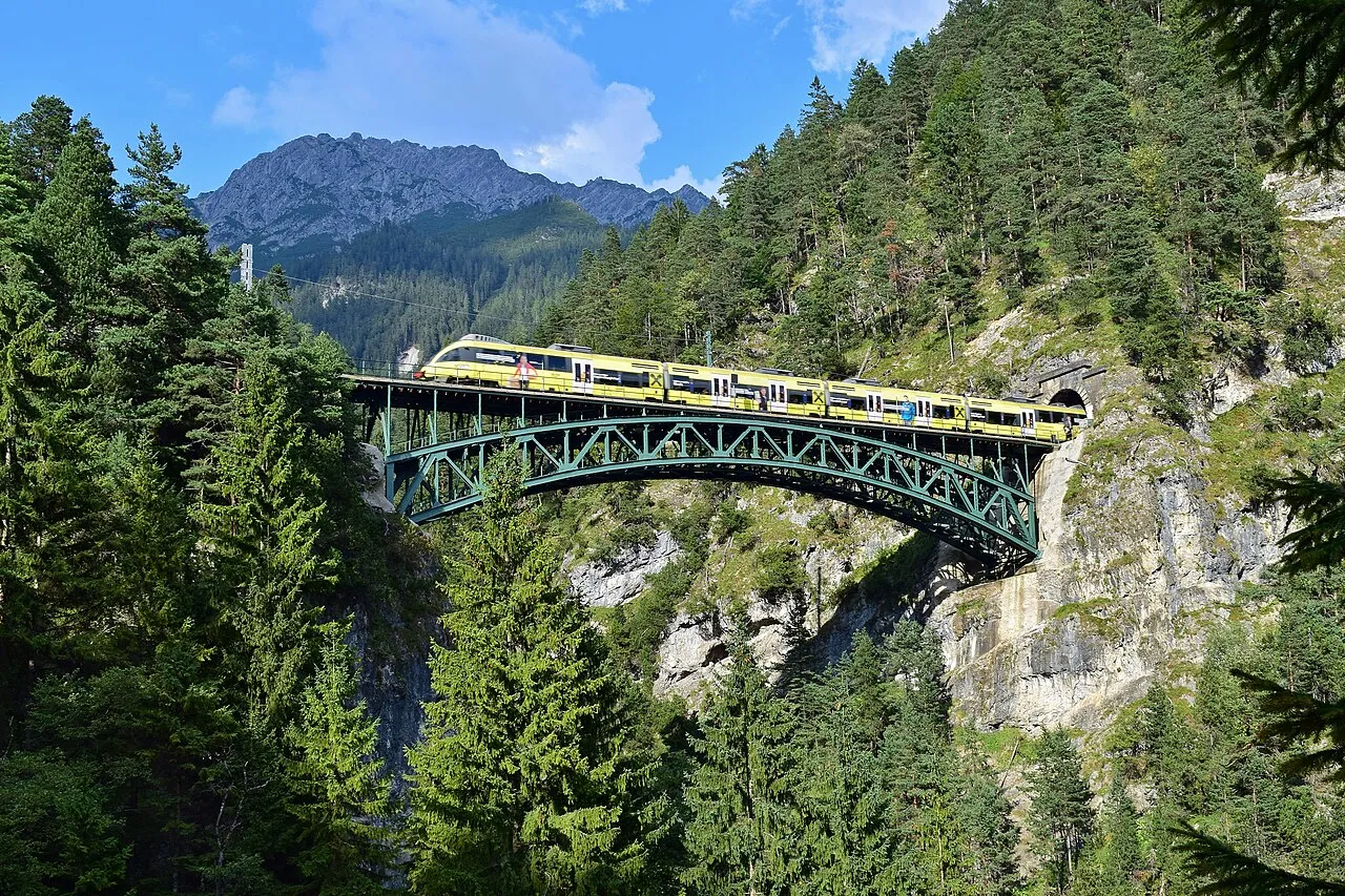
Ulrichsbrücke-Füssen railway station lies within the site.
Where can I get visitor information on site?
Tourist-Office, Touristen Information and Tourist-Information Reutte.
Are there waymarked hiking trails in Tyrolean Lech Nature Park?
Yes. Waymarked hiking routes listed in OpenStreetMap: 17, including E 5, Via Alpina Yellow, Via Alpina and Jakobsweg Tirol. The “Lechweg” route runs for about 26 km through the site, with some 380 m of ascent on its longest section.
Which species can be seen in Tyrolean Lech Nature Park?
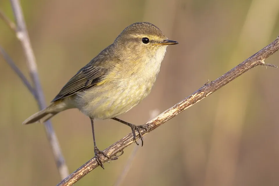
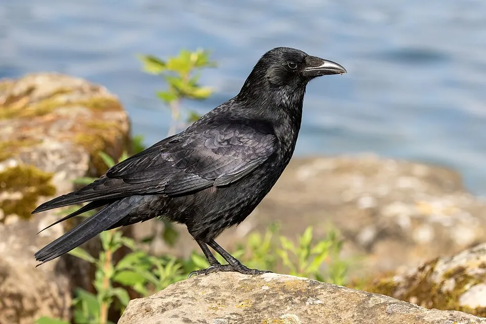
Among the species most often recorded on GBIF are Phylloscopus collybita (Common Chiffchaff), Parus major (Great tit), Corvus corone (Carrion crow) and Anas platyrhynchos (Mallard).
© OpenStreetMap
Download the boundary: GeoJSON · GPX Boundary © OpenStreetMap contributors (ODbL).
Geography
The representative point of the site lies at around 879 m above sea level. Over the 1996–2025 period, the mean annual temperature is about 7.1 °C and total precipitation reaches roughly 1,770 mm per year. The warmest month is usually July, the coolest January, and the wettest July.
Area
- Area of the boundary
- 4,140 ha
- Elevation
- 879 m
- Median elevation
- 1,031 m
- Mean slope
- 17°
- Snow cover
- ≈ 145 days a year
- Coordinates
- 47.4419, 10.646
Terrain: Mapzen Terrain Tiles (SRTM, USGS; © offene Daten Österreichs – Digitales Geländemodell (DGM) Österreich, CC BY 3.0 AT)
Elevation bands
- 500–1,000 m 43%
- 1,000–1,500 m 51%
- 1,500–2,000 m 6%
share of the site in each elevation band (smoothed terrain model: summits are rounded off) · Terrain: Mapzen Terrain Tiles (SRTM, USGS; © offene Daten Österreichs – Digitales Geländemodell (DGM) Österreich, CC BY 3.0 AT)
Main summits
- Ranzenkopf1,001 m
- Kleiner Zwischenberg849 m
- Hüttenbichl845 m
Data © OpenStreetMap contributors (ODbL)
Climate
● Mean temperature (°C) · ▮ Precipitation (mm)
Source: Copernicus ERA5-Land (C3S, doi:10.24381/cds.68d2bb30), monthly averages 1996–2025 interpolated to the representative point, temperatures adjusted for elevation.
Contains modified Copernicus Climate Change Service information 2026. Neither the European Commission nor ECMWF is responsible for any use that may be made of the Copernicus information or data it contains.
Snow cover measured by satellite
J
F
M
A
M
J
J
A
S
O
N
D
average share of the site under snow · snowiest parts · ≈ 145 days a year
Snow cover: MODIS/Terra MOD10CM v61 (Hall & Riggs, 2021, NASA NSIDC DAAC, doi:10.5067/MODIS/MOD10CM.061), imagery from NASA GIBS (ESDIS); 2015–2025 average, grid of about 5 km.
Natural habitats
According to CORINE Land Cover (2018), the site is mainly made up of forests (64%), grassland and meadows (14%) and built-up or developed land (8%). Woodland is mostly coniferous. Elevation ranges from about 800 to 1,460 m (sampled elevations, SRTM). Median elevation is 1,031 m, and 57% of the site lies above 1,000 m (SRTM and DGM Österreich elevation models). The terrain is steep: 25% of slopes exceed 30° (mean slope 17°). The Natura 2000 site overlapping the area lists 34 habitats of European interest (9 priority), the most extensive being acidophilous Picea forests of the montane to alpine levels (Vaccinio-Piceetea), alpine rivers and the herbaceous vegetation along their banks and alluvial forests with Alnus glutinosa and Fraxinus excelsior (Alno-Padion, Alnion incanae, Salicion albae).
Biodiversity
Based on occurrences aggregated by GBIF, several species are regularly recorded within the site. Among the most frequent are Phylloscopus collybita (Common Chiffchaff), Parus major (Great tit), Corvus corone (Carrion crow) and Anas platyrhynchos (Mallard). The full list of documented taxa is shown below. The overlapping Natura 2000 site lists 75 species of European interest: 61 birds, 2 mammals, 2 amphibians, 2 fish, 5 invertebrates and 3 plants.
Habitats of European interest
From the official form of the Natura 2000 site overlapping the area (areas reported for the whole site).
- Acidophilous Picea forests of the montane to alpine levels (Vaccinio-Piceetea) 900 ha
- Alpine rivers and the herbaceous vegetation along their banks 482 ha
- Alluvial forests with Alnus glutinosa and Fraxinus excelsior (Alno-Padion, Alnion incanae, Salicion albae) priority 236 ha
- Alpine rivers and their ligneous vegetation with Salix elaeagnos 219 ha
- Bushes with Pinus mugo and Rhododendron hirsutum (Mugo-Rhododendretum hirsuti) priority 186 ha
- Medio-European subalpine beech woods with Acer and Rumex arifolius 121 ha
- Medio-European calcareous scree of hill and montane levels priority 47 ha
- Asperulo-Fagetum beech forests 44 ha
and 26 more
Species of European interest
Birds · 61
Marsh Warbler (Acrocephalus palustris) passage, Eurasian Reed Warbler (Acrocephalus scirpaceus), Common Sandpiper (Actitis hypoleucos) passage, Boreal Owl (Aegolius funereus) resident, Eurasian Skylark (Alauda arvensis) passage, Common Kingfisher (Alcedo atthis) resident, Tree Pipit (Anthus trivialis), Golden Eagle (Aquila chrysaetos) resident, Grey Heron (Ardea cinerea) wintering, Tufted Duck (Aythya fuligula) breeding, Hazel Grouse (Bonasa bonasia) resident, Eurasian Eagle-owl (Bubo bubo) resident and 49 more
Amphibians · 2
Natterjack (Bufo calamita), Great crested newt (Triturus cristatus)
Invertebrates · 5
White-clawed Crayfish (Austropotamobius pallipes), Stone crayfish (Austropotamobius torrentium), Siberian Bluet (Coenagrion hylas), Dusky Large Blue (Maculinea nausithous), Hermit beetle (Osmoderma eremita)
Plants · 3
Creeping marshwort (Apium repens), Lady's-slipper orchid (Cypripedium calceolus), Orthotrichum rogeri
Source: Natura 2000 standard data forms (EEA, CC-BY 4.0). Not exhaustive: sensitive species are not published.
Species to look out for



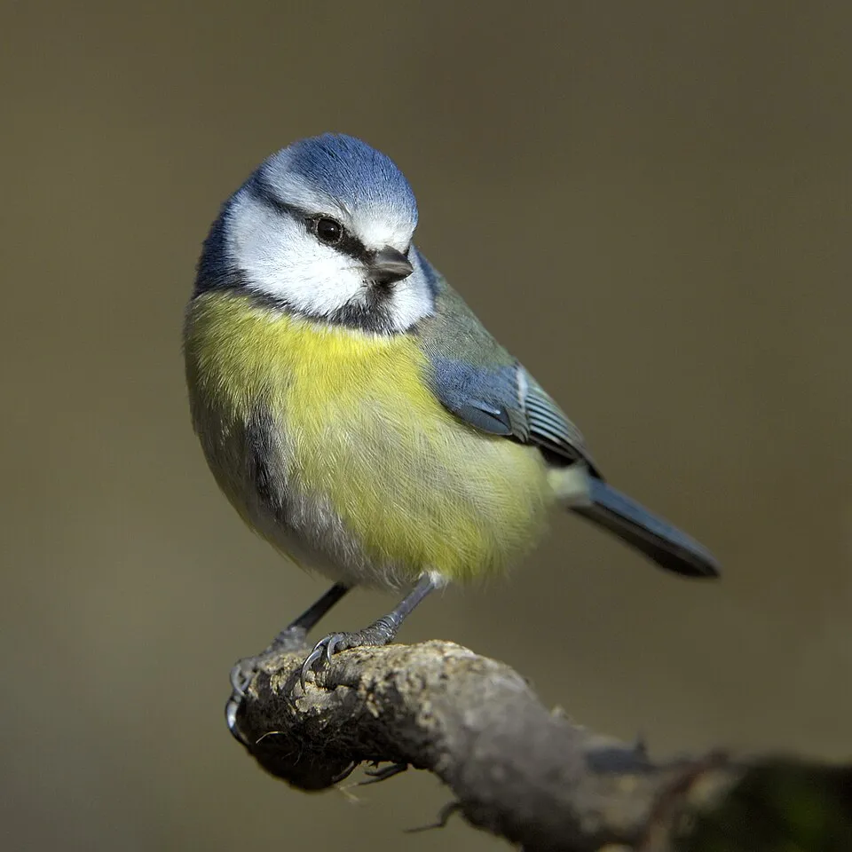
Observed species
Occurrences documented via GBIF; they are neither an exhaustive inventory nor proof of current presence.
- Common Chiffchaff · Phylloscopus collybita · 62
- Great tit · Parus major · 62
- Carrion crow · Corvus corone · 56
- Mallard · Anas platyrhynchos · 55
- Eurasian Chaffinch · Fringilla coelebs · 54
- Eurasian blue tit · Cyanistes caeruleus · 51
- Common Blackbird · Turdus merula · 51
- Eightpetal mountain-avens · Dryas octopetala · 49
- Common Coot · Fulica atra · 47
- Tufted Duck · Aythya fuligula · 40
- Common Marbled Carpet · Dysstroma truncata · 39
- European robin · Erithacus rubecula · 38
+18 more species
- Eurasian Blackcap · Sylvia atricapilla · 38
- Eurasian Wren · Troglodytes troglodytes · 38
- True Lover's Knot · Lycophotia porphyrea · 37
- Coal tit · Periparus ater · 37
- Marsh helleborine · Epipactis palustris · 36
- Mute Swan · Cygnus olor · 35
- Wayfaring-tree · Viburnum lantana · 35
- Mottled Beauty · Alcis repandata · 35
- White Wagtail · Motacilla alba · 35
- Northern Raven · Corvus corax · 34
- Hieracium glaucum · 34
- Hieracium bifidum · 32
- European Crested Tit · Lophophanes cristatus · 30
- Little Grebe · Tachybaptus ruficollis · 29
- Lady's-slipper orchid · Cypripedium calceolus · 29
- Euxoa birivia · 28
- Mesogona oxalina · 28
- Common Wave · Cabera exanthemata · 28
Records: GBIF.org (CC-BY). Names: Wikidata (CC0), GBIF. Photos: Wikimedia Commons.
Conservation challenges
The primary purpose of the site is to preserve its natural habitats and the biodiversity they support. The species recorded (Biodiversity tab) reflect its ecological value. The designations it holds frame its management and the control of land use.
According to Global Forest Change data (University of Maryland, Global Forest Watch), about 84 ha of tree cover were lost within the boundary between 2001 and 2023 (2% of its area), peaking in 2006 and 2012. These losses include logging, storms and fires, and do not account for regrowth. According to the European CORINE Land Cover inventory (Copernicus), land cover changed on about 67 ha of the site between 1990 and 2018 (2% of its area): built-up land shrank by 59 ha, mostly giving way to forest, while forest grew by 52 ha, mostly at the expense of built-up land. At night, 6% of the area gives off artificial light detectable from space (NASA VIIRS Black Marble composite, 2016). Built-up and developed land (buildings, business areas, roads, quarries) covers 8% of the area (CORINE Land Cover). According to the Natura 2000 forms, of 30 assessed habitats of European interest, 3 are in excellent condition and 4 in average or reduced condition. According to the Water Framework Directive assessment (2022 river basin management plans, data 2016–2021), 77% of the 81 km of rivers assessed within the site are in good or high ecological status. Since 2000, 8 invasive alien species have been recorded within the site (GBIF observations), 2 of them listed as of Union concern under EU Regulation 1143/2014. Among them: Impatiens glandulifera (Himalayan Balsam), Heracleum mantegazzianum (Giant Hogweed) and Cygnus olor (Mute Swan).
Pressure indicators
Tree cover lost
84 ha
2001–2023
20012023
Fires since 2016
0
No large fire mapped (fires over about 30 ha)
Light at night
6%
of the area gives off artificial light visible from space
DarkLit
Built-up land
8%
buildings, business areas, roads, quarries
Land cover change
67 ha
changed cover, 1990–2018 · CORINE · 2% of the area
- −59 ha · built-up land
- +52 ha · forest
Rivers and lakes
77%
of the 81 km of assessed rivers in good or high ecological status · WFD 2022
assessments 2016–2021
Invasive alien species
8
incl. 2 of EU concern · since 2000
 Himalayan BalsamEU
 Giant HogweedEU
 Mute Swan
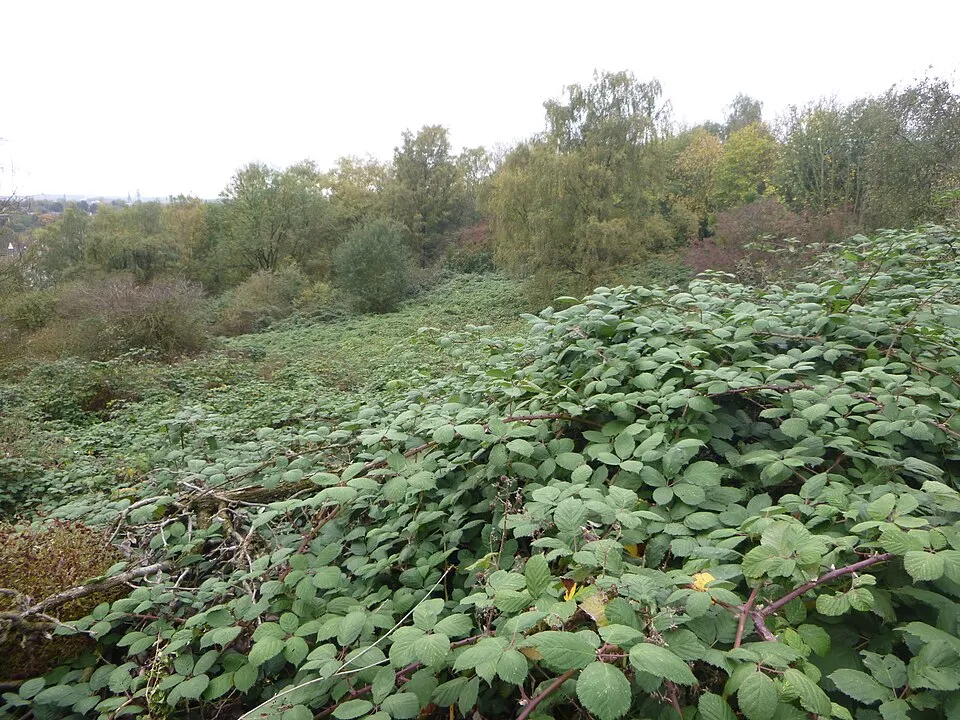 Giant Blackberry
Asian Lady Beetle
 Chinese Mugwort
 Small balsam
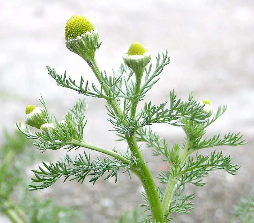 Pineappleweed
Photos: Himalayan Balsam © Guptaele · CC BY-SA 4.0; Giant Hogweed © anastasiiamerkulova · CC BY 4.0; Mute Swan © Geni · CC BY-SA 4.0; Giant Blackberry © Meloe · CC BY-SA 4.0; Chinese Mugwort © Oceancetaceen - Alice Chodura · CC BY-SA 3.0; Small balsam © André Karwath aka Aka · CC BY-SA 2.5; Pineappleweed © Krzysztof Ziarnek · CC BY-SA 3.0
Sources: Global Forest Change (Hansen et al., University of Maryland, via Global Forest Watch, CC-BY 4.0); EFFIS, European Commission / Copernicus; NASA Black Marble 2016 (public domain); CORINE Land Cover 2018 (Copernicus) or MODIS.
CORINE Land Cover Change 1990–2018: generated using European Union's Copernicus Land Monitoring Service information (EEA), aggregated by Parkavela; DOI 10.2909/f30f1000-7cf8-43bb-872c-5eb093911b24.
Ecological status of water bodies: European Environment Agency, WISE – Water Framework Directive, 3rd river basin management plans (2022), CC BY 4.0. Official national classification, not comparable between countries.
Invasive alien species: Global Register of Introduced and Invasive Species (ISSG, CC BY 4.0); Union list, Regulation (EU) 1143/2014 (INBO, CC0); GBIF.org records (CC0 / CC BY 4.0), at least 2 per species.
Practical information
Cities and airport
- Kempten
28 km as the crow flies - Innsbruck
56 km as the crow flies - Airport: Innsbruck (INN)
53 km as the crow flies
Visitor information
- Tourist-Office
< 1 km from the site boundary - Touristen Information
< 1 km from the site boundary - Tourist-Information Reutte
< 1 km from the site boundary - Tiroler Lechtal - Tourismusinformation Elbigenalp
< 1 km from the site boundary
Hiking
17 waymarked routes listed, including:
E 5Via Alpina YellowVia AlpinaJakobsweg TirolLechwegWanderweg
Trail difficulty
- T1 · easy hiking · 55% · 13 km
- T2 · mountain hiking · 25% · 6 km
- T3–T6 · demanding or alpine hiking · 20% · 5 km
24 km graded out of 79 km of paths
SAC scale (T1–T6) © OpenStreetMap contributors (ODbL): indicative only, check with the park.
By bike
LRW Lechradweg · 25 km
Signed cycle routes: this does not mean that cycling is allowed on footpaths.
Data © OpenStreetMap contributors (ODbL) · Wikidata (CC0)
Routes © OpenStreetMap contributors (ODbL), via Waymarked Trails
Waymarked hiking routes
E5 Europäischer Fernwanderweg E5, Österreich Tirol
5 km within the site ↗ 0 m↘ 11 m 1,074–1,086 m
Tracks © OpenStreetMap contributors (ODbL), clipped to the boundary; elevation gain and profiles computed on the longest section from Mapzen Terrain Tiles (≈ 30 m), indicative only.
Bathing
4 monitored bathing sites in or within 1 km of the site · 2025 classification
Excellent · 4
- Alatsee Fuessen Nordufer · lake · Excellent
- Mittersee Fuessen Badeplatz · lake · Excellent
- Obersee Fuessen Faulenbach Badeplatz · lake · Excellent
- Urisee, Badeanstalt · lake · Excellent
Source: European Environment Agency, official bathing water classification (Directive 2006/7/EC, CC-BY 4.0). Swimming is only permitted at the sites and times authorised locally.
Access and visiting
Ulrichsbrücke-Füssen railway station lies within the site. Nearest towns of over 50,000 people, as the crow flies: Kempten (28 km) and Innsbruck (56 km). Nearest airport: Innsbruck (INN), about 53 km away. About 200,000 people live within 20 km of the site boundary, 66,000 of them within 10 km; some 4,000 people are estimated to live inside (GHSL estimate, 2020). This population has grown by about 6% since 2000. Visitor information on site: Tourist-Office, Touristen Information and Tourist-Information Reutte. Waymarked hiking routes listed in OpenStreetMap: 17, including E 5, Via Alpina Yellow, Via Alpina and Jakobsweg Tirol. Of the roughly 20 km of paths with a difficulty grade in OpenStreetMap, 55% are easy hiking (T1), 25% mountain hiking (T2) and 20% demanding or alpine hiking (T3–T6). This is indicative only: check with the park. A signed cycle route crosses the site: “LRW Lechradweg” (OpenStreetMap). To plan a visit (access, opening periods, visitor rules), it is best to consult the official information from the managing body and the official website listed in this page's sources.
Source: OpenStreetMap (ODbL), Wikidata (CC0), October 2026.
Built heritage
According to Wikidata, 2 monuments listed as protected monuments in Austria stand within the boundary. Examples include “Wayside chapel Unterpinswang” in Pinswang and “Wappen” in Elbigenalp.
-
Wayside chapel Unterpinswang
Pinswang -
Wappen
Elbigenalp
Source: Wikidata (CC0), monuments in each country’s official heritage protection registers, at national or regional level. Each item links to its Wikidata entry.
When to visit
Mildest period: from June to August, with average temperatures of 15 to 17 °C. Average temperatures drop below 0 °C from December to February: frost is common. Precipitation peaks from May to August (up to 230 mm per month). According to NASA's MODIS satellites (2015–2025 average), snow covers most of the site from November to March, and until April on higher ground, with about 145 snow-covered days a year on average. Day length ranges from about 8 h 28 min in December to 15 h 56 min in June. Wildlife records published on GBIF peak for birds (July), plants (July), butterflies and moths (July), dragonflies (July) and mammals (July). These peaks also reflect when observers are most active.
Source: Copernicus ERA5-Land (C3S), monthly averages 1996–2025 at the representative point, temperatures adjusted for elevation.
Contains modified Copernicus Climate Change Service information 2026. Neither the European Commission nor ECMWF is responsible for any use that may be made of the Copernicus information or data it contains.
Wildlife records calendar
JFMAMJJASOND
Birds
Plants
Butterflies & moths
Dragonflies
Mammals
Monthly records published on GBIF (CC-BY), relative to the busiest month; also reflects observer activity.
Gallery
© Michielverbeek · CC BY-SA 4.0
© Simonm · CC BY-SA 3.0
© Franzfoto · CC BY-SA 3.0
© Bruno413 · CC0-1.0
© Ordercrazy · CC0-1.0
© Adrian Michael · CC BY-SA 3.0
Sources and licences
- Wikidata: Q1673986
- OpenStreetMap: relation 17253157
- Wikipedia: de.wikipedia.org/wiki/Naturpark_Tiroler_Lech
References
- cds.climate.copernicus.eu: climate · CC-BY-4.0
- registry.opendata.aws: elevation of the reference point, detailed relief · CC-BY-3.0
- land.copernicus.eu: land cover, land cover change, sea share · COPERNICUS
- doi.org: population around the site · CC-BY-4.0
- openstreetmap.org: official name, access and peaks, trail difficulty, wheelchair access · ODbL-1.0
- eea.europa.eu: bathing water quality, ecological status of waters · CC-BY-4.0
- en.eurovelo.com: EuroVelo cycle routes · ODbL-1.0
- cycling.waymarkedtrails.org: cycle routes · ODbL-1.0
- opentopodata.org: elevations · PD
- forest-fire.emergency.copernicus.eu: wildfires · COPERNICUS
- globalforestwatch.org: tree cover loss · CC-BY-4.0
- gbif.org: seasonality of sightings, invasive alien species, observed species · CC-BY-4.0
- europe-geology.eu: geology · CC-BY-4.0
- wikidata.org: protected heritage, nearby cities and airport, access and peaks, lake depths, places to see · CC0-1.0
- hydrosheds.org: lakes · CC-BY-4.0
- natura2000.eea.europa.eu: Natura 2000 habitats and species · CC-BY-4.0
- earthobservatory.nasa.gov: night light · PD
- hiking.waymarkedtrails.org: route difficulty · ODbL-1.0
- nsidc.org: snow cover · PD
- wikidata.org: Wikipedia article · CC-BY-SA-4.0
Data © OpenStreetMap contributors (ODbL), Wikidata (CC0) and the sources cited.