Plant
Italy · Terrestrial
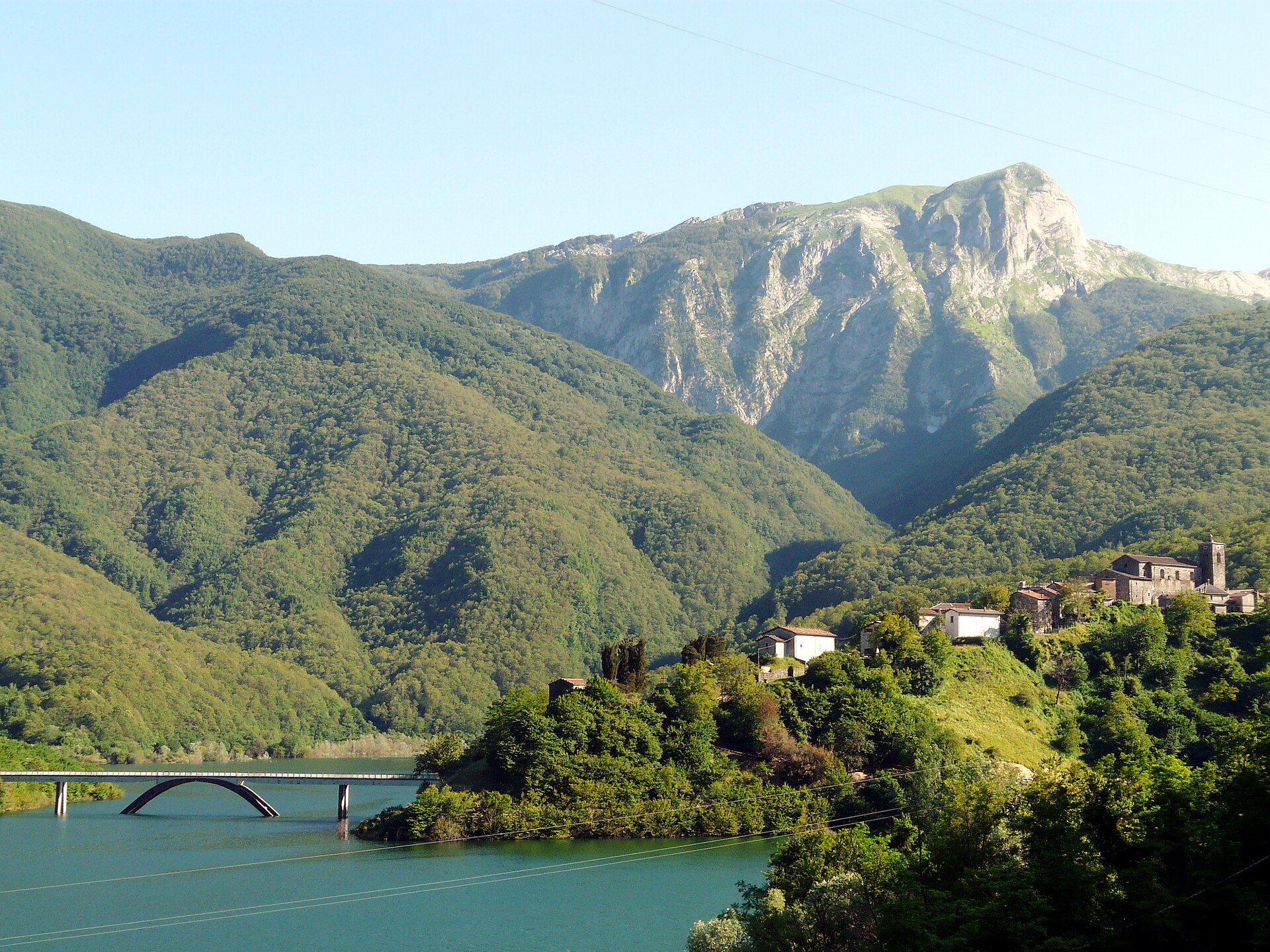
Regional nature park of 20,598 hectares in Italy, established in 1985.
Regional nature park of 20,598 hectares in Italy, established in 1985.
Apuan Alps Regional Nature Park is located in Italy (Europe). It is a predominantly terrestrial area. Established in 1985, it covers about 20,598 hectares.
Protected as a regional nature park. International labels and designations: Natura 2000 network (11 sites). Key dates: established in 1985 and first Natura 2000 site under the Birds Directive in 1996.
Sources: Wikidata (CC0) for establishment and international labels; EEA Natura 2000 database (CC-BY 4.0) for site designation dates.
In Italy (Europe). Representative point: 44.0729° N, 10.2747° E.
About 20,598 hectares (206 km²). It is the 23rd largest of the 128 regional parks in Italy covered by Parkavela.
In 1985.
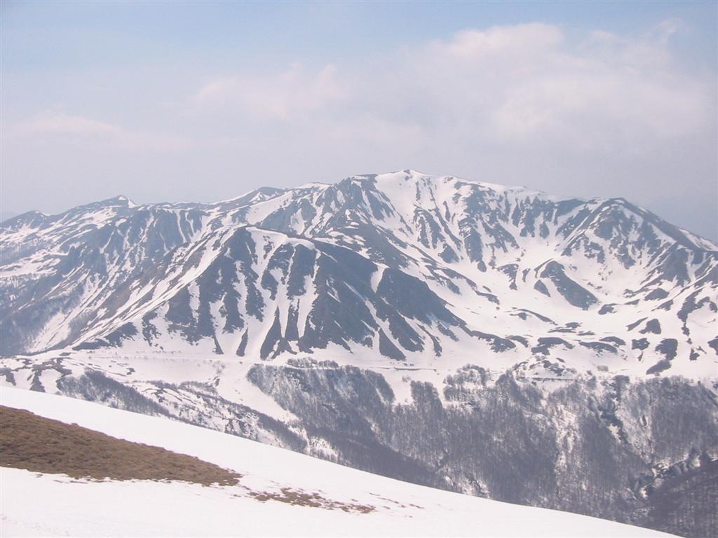
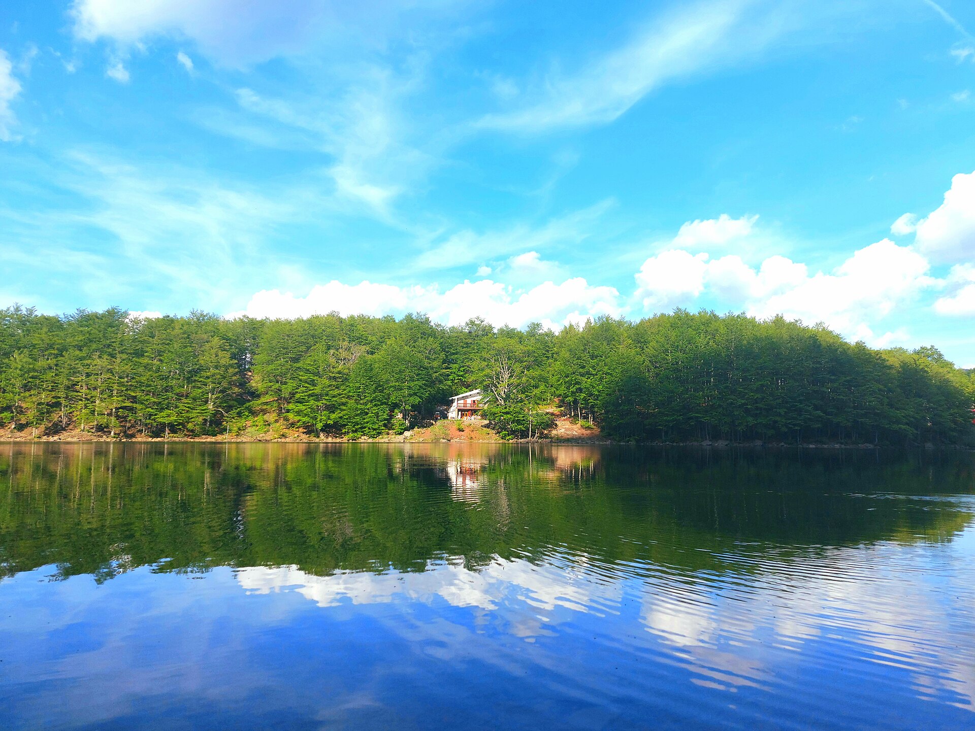
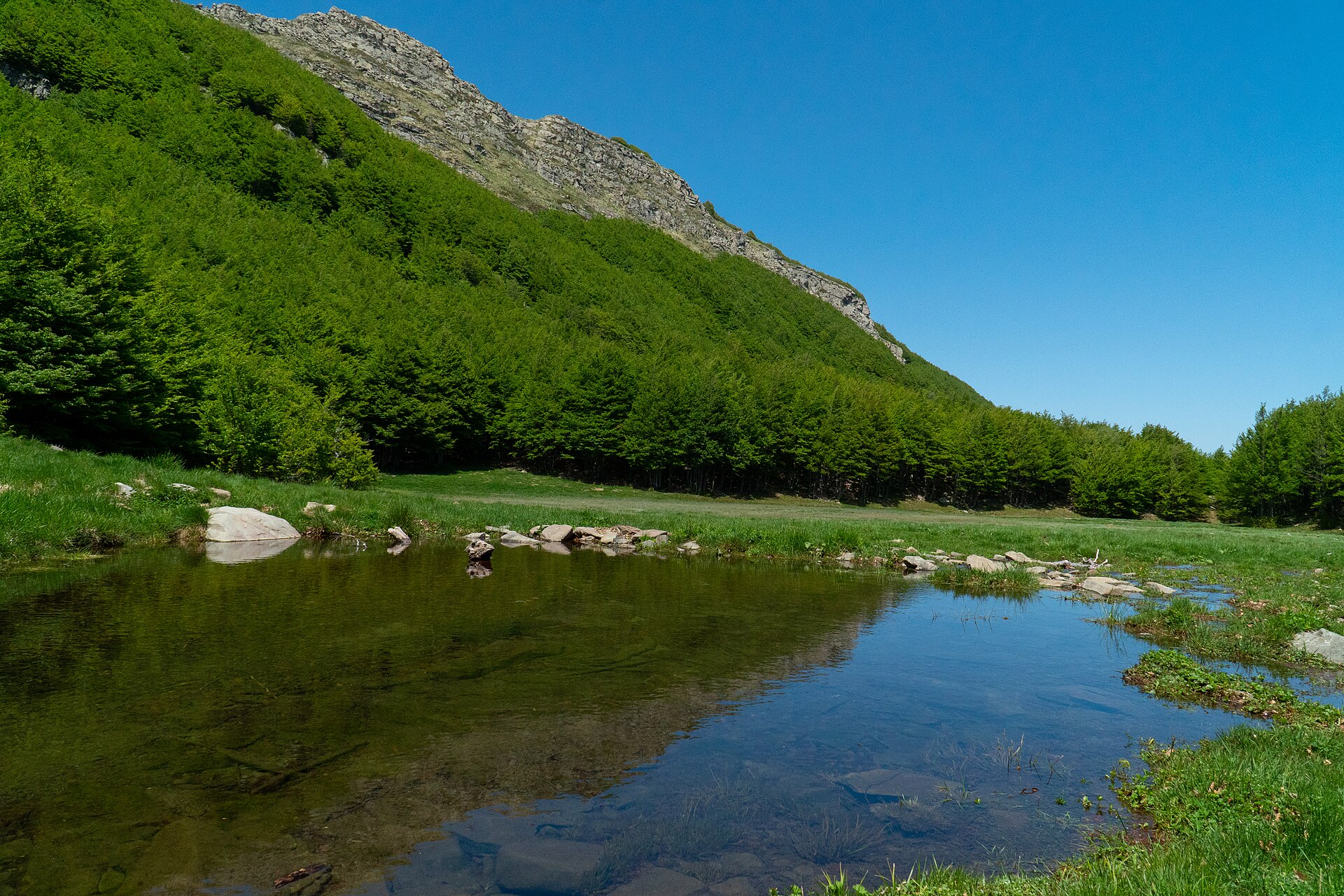
A terrestrial area, with forests and mountains.
According to the European 1:1 million geological map (EGDI), the bedrock consists mainly of limestones (73% of sampled points) and mudstones (20%). These are mostly sedimentary rocks. The geological units date mainly from the Triassic (47% of sampled points).
Monte Pisanino, at 1,947 m (OpenStreetMap).
Monte Pisanino (1,947 m), Monte Tambura (1,890 m), Monte Cavallo (1,888 m), Monte Cavallo N (1,881 m) and Monte Cavallo S (1,871 m) (OpenStreetMap).
Natura 2000 network (11 sites).
Best time to visit: from June to September, with average temperatures of 12 to 17 °C and moderate rainfall.
107 viewpoints, 10 waterfalls, 9 lakes and ponds, 1 natural arch and 1,542 caves, including Finestra Vandelli (1,404 m), Cascata Della Pendolina, Bozzetti and Arco del Monte Forato (OpenStreetMap).
25 mountain huts and 7 campsites, including Rifugio Enrico Rossi (1,608 m), Area Camper di Equi Terme and K2 (1,500 m) (OpenStreetMap).
Yes. According to Wikidata, 56 monuments protected as Italian national cultural heritage stand within the boundary. For example: “Chiesa dei Santi Filippo e Giacomo” in Massa, “Fortezza di Mont'Alfonso” in Castelnuovo di Garfagnana and “Museo della Pietra Piegata” in Stazzema.
Nearest towns of over 50,000 people, as the crow flies: Carrara (0.6 km) and Massa (1 km). Nearest airport: Pisa International Airport 'Galileo Galilei' (PSA), about 27 km away.
Equi Terme railway station lies within the site.
Ufficio informazioni Proloco and Punto Informativo.
Yes. Waymarked hiking routes listed in OpenStreetMap: 250, including Cammino di Assisi, Genova, Via Vandelli, Sentiero dei Ducati and Sentiero dei Ducati Deviazione Ponte Vecchio. The “Cammino di Assisi, Genova - San Miniato” route runs for about 63 km through the site, with some 3,330 m of ascent on its longest section.
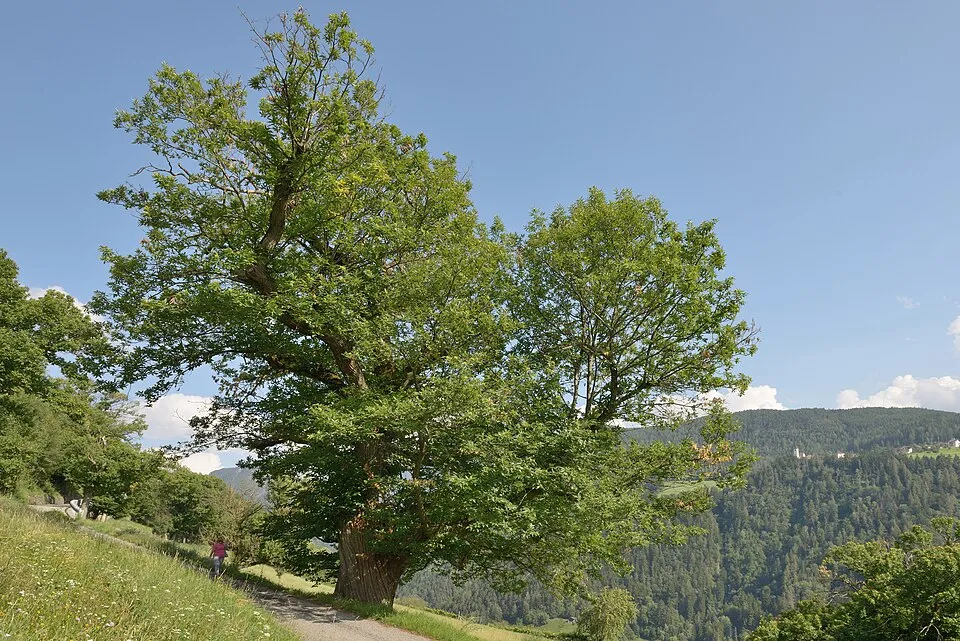
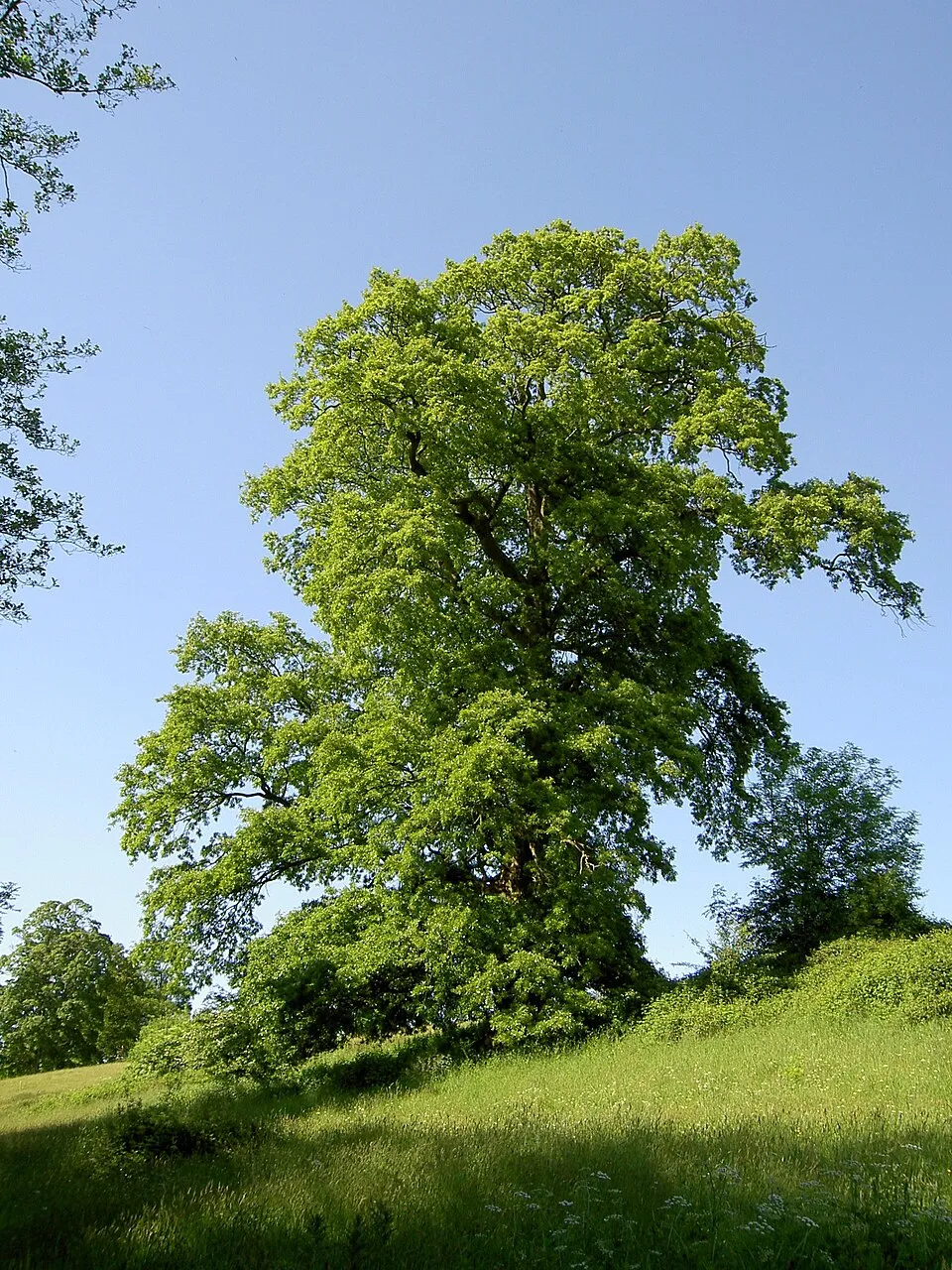
Among the species most often recorded on GBIF are Castanea sativa (Sweet Chestnut), Fagus sylvatica (European Beech), Ostrya carpinifolia (European Hop-hornbeam) and Quercus cerris (Turkey Oak).
© OpenStreetMap
Download the boundary: GeoJSON · GPX Boundary © OpenStreetMap contributors (ODbL).
The representative point of the site lies at around 1,326 m above sea level. Over the 1996–2025 period, the mean annual temperature is about 7.6 °C and total precipitation reaches roughly 1,424 mm per year. The warmest month is usually August, the coolest January, and the wettest November. According to the European 1:1 million geological map (EGDI), the bedrock consists mainly of limestones (73% of sampled points) and mudstones (20%). These are mostly sedimentary rocks. The geological units date mainly from the Triassic (47% of sampled points). The site contains 2 lakes larger than 10 ha, totalling 78 ha of water; the largest, lago di Vagli, covers 60 ha (HydroLAKES). lago di Vagli is 86.5 m deep (Wikidata).
Terrain: Mapzen Terrain Tiles (SRTM, USGS) · Lakes: HydroLAKES (Messager et al. 2016, hydrosheds.org, CC BY 4.0) · depths: Wikidata (CC0)
share of the site in each elevation band (smoothed terrain model: summits are rounded off) · Terrain: Mapzen Terrain Tiles (SRTM, USGS)
Sedimentary rocks 100 % · Main age: Triassic (47%)
Source: EGDI 1:1M geological map (EuroGeoSurveys and national geological surveys), CC BY 4.0 · 15 sampled points within the site.
Data © OpenStreetMap contributors (ODbL)
● Mean temperature (°C) · ▮ Precipitation (mm)
Source: Copernicus ERA5-Land (C3S, doi:10.24381/cds.68d2bb30), monthly averages 1996–2025 interpolated to the representative point, temperatures adjusted for elevation.
Contains modified Copernicus Climate Change Service information 2026. Neither the European Commission nor ECMWF is responsible for any use that may be made of the Copernicus information or data it contains.
According to CORINE Land Cover (2018), the site is mainly made up of forests (73%) and heath and scrub (9%). Woodland is mostly broadleaved. Elevation ranges from about 290 m to 1,947 m (highest point: Monte Pisanino). Median elevation is 743 m, and 22% of the site lies above 1,000 m (SRTM elevation model). The terrain is steep: 31% of slopes exceed 30° (mean slope 25°). The 11 Natura 2000 sites overlapping the area list 35 habitats of European interest (9 priority), the most extensive being Luzulo-Fagetum beech forests, Castanea sativa woods and semi-natural dry grasslands and scrubland facies on calcareous substrates (Festuco-Brometalia) (* important orchid sites).
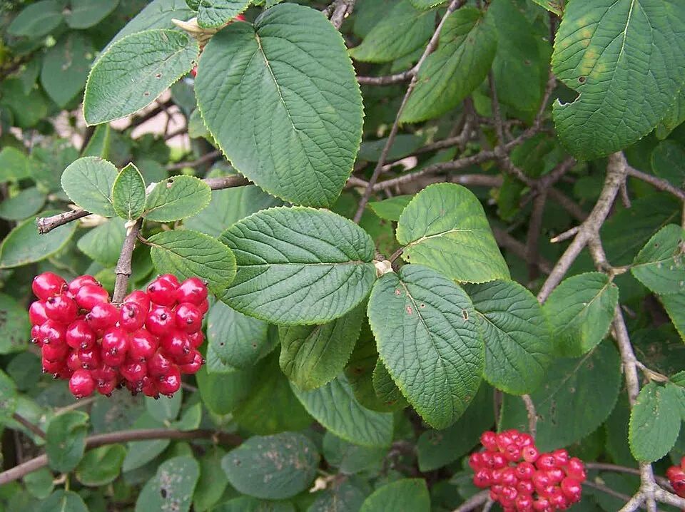
Based on occurrences aggregated by GBIF, several species are regularly recorded within the site. Among the most frequent are Castanea sativa (Sweet Chestnut), Fagus sylvatica (European Beech), Ostrya carpinifolia (European Hop-hornbeam) and Quercus cerris (Turkey Oak). The full list of documented taxa is shown below. The overlapping Natura 2000 sites list 62 species of European interest: 18 birds, 15 mammals, 5 reptiles, 6 amphibians, 1 fish, 5 invertebrates and 12 plants.
From the official forms of the 11 Natura 2000 sites overlapping the area (areas reported for each whole site).
and 27 more
Tawny Pipit (Anthus campestris) breeding, Golden Eagle (Aquila chrysaetos) resident, European Nightjar (Caprimulgus europaeus) breeding, Short-toed Snake Eagle (Circaetus gallicus) breeding passage, Hen Harrier (Circus cyaneus) passage wintering, Common Quail (Coturnix coturnix) breeding, Yellowhammer (Emberiza citrinella) breeding, Ortolan Bunting (Emberiza hortulana) passage breeding, Lanner Falcon (Falco biarmicus) passage, Lesser Kestrel (Falco naumanni) passage, Peregrine Falcon (Falco peregrinus) resident, Red-backed Shrike (Lanius collurio) breeding and 6 more
Barbastelle (Barbastella barbastellus), Grey wolf (Canis lupus), Serotine bat (Eptesicus serotinus), Savi's Pipistrelle (Hypsugo savii), Hazel dormouse (Muscardinus avellanarius), Western Polecat (Mustela putorius), Whiskered bat (Myotis mystacinus), Natterer's bat (Myotis nattereri), Kuhl's pipistrelle (Pipistrellus kuhlii), Common pipistrelle (Pipistrellus pipistrellus), Brown long-eared bat (Plecotus auritus), Mediterranean Horseshoe Bat (Rhinolophus euryale) and 3 more
Smooth snake (Coronella austriaca), Western Whip Snake (Hierophis viridiflavus), Common wall lizard (Podarcis muralis), Italian wall lizard (Podarcis siculus), Aesculapian Snake (Zamenis longissimus)
Apennine Yellow-bellied Toad (Bombina pachypus), Edible frog (Pelophylax esculentus), Italian stream frog (Rana italica), Spectacled Salamander (Salamandrina terdigitata), Ambrosi's Cave Salamander (Speleomantes ambrosii), Italian Cave Salamander (Speleomantes italicus)
Greater Capricorn Beetle (Cerambyx cerdo), Jersey Tiger (Euplagia quadripunctaria), Large Blue (Maculinea arion), Apollo (Parnassius apollo), Clouded apollo (Parnassius mnemosyne)
Aquilegia bertolonii, Athamanta cortiana, Marsh gladiolus (Gladiolus palustris), Fir Clubmoss (Huperzia selago), Stag's-horn Clubmoss (Lycopodium clavatum), Small red peat moss (Sphagnum capillifolium), Compact bog-moss (Sphagnum compactum), Blunt-leaved bog-moss (Sphagnum palustre), Sphagnum (Sphagnum subnitens), Slender cow-horn bog-moss (Sphagnum subsecundum), Summer lady's-tresses (Spiranthes aestivalis), Killarney Fern (Vandenboschia speciosa)
Source: Natura 2000 standard data forms (EEA, CC-BY 4.0). Not exhaustive: sensitive species are not published.
Plant


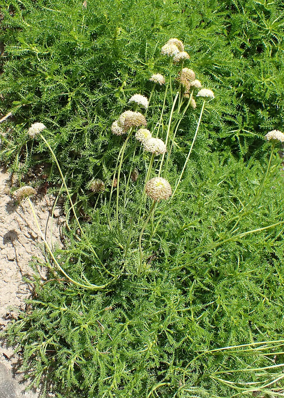
Plant
76 records © Krzysztof Ziarnek, Kenraiz · CC BY-SA 4.0
Occurrences documented via GBIF; they are neither an exhaustive inventory nor proof of current presence.
Records: GBIF.org (CC-BY). Names: Wikidata (CC0), GBIF. Photos: Wikimedia Commons.
The primary purpose of the site is to preserve its natural habitats and the biodiversity they support. The species recorded (Biodiversity tab) reflect its ecological value. The designations it holds frame its management and the control of land use.
According to Global Forest Change data (University of Maryland, Global Forest Watch), about 232 ha of tree cover were lost within the boundary between 2001 and 2023 (1% of its area), peaking in 2018 and 2023. These losses include logging, storms and fires, and do not account for regrowth. According to the European CORINE Land Cover inventory (Copernicus), land cover changed on about 380 ha of the site between 1990 and 2018 (under 1% of its area). Forest felling and regrowth add about 600 ha in total over the period. Since 2016, the European EFFIS system (Copernicus) has mapped 12 fires here, burning about 891 ha within the boundary; the largest, in August 2024 (near Carrara), covered 219 ha. At night, 16% of the area gives off artificial light detectable from space (NASA VIIRS Black Marble composite, 2016). Built-up and developed land (buildings, business areas, roads, quarries) covers 3% of the area (CORINE Land Cover). According to the Natura 2000 forms, of 35 assessed habitats of European interest, 6 are in excellent condition and 12 in average or reduced condition. According to the Water Framework Directive assessment (2022 river basin management plans, data 2016–2020), only 29% of the 146 km of rivers assessed within the site are in good or high ecological status; the others mostly have moderate ecological status. Other assessed water bodies: lakes, 1 of 1 in good ecological status or better. Since 2000, 13 invasive alien species have been recorded within the site (GBIF observations), one of them listed as of Union concern under EU Regulation 1143/2014. Among them: Ailanthus altissima (Tree-of-heaven), Prunus laurocerasus (Cherry laurel) and Buddleja davidii (Butterfly-bush).
232 ha
2001–2023 · 1% of the area
891 ha
burned within the boundary (12 mapped fires)
16%
of the area gives off artificial light visible from space
3%
buildings, business areas, roads, quarries · farmland 4%
380 ha
changed cover, 1990–2018 · CORINE · < 1% of the area
forest felling and regrowth: 600 ha in total
29%
of the 146 km of assessed rivers in good or high ecological status · WFD 2022
Lakes: 1 of 1 good or better
assessments 2016–2020
13
incl. 1 of EU concern · since 2000
 Tree-of-heavenEU
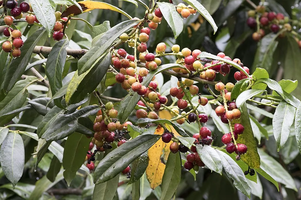 Cherry laurel
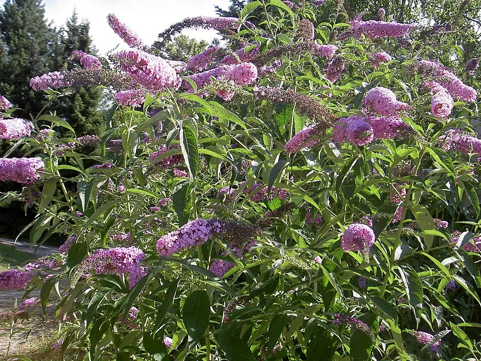 Butterfly-bush
 Small-leaf spiderwort
 Black locust
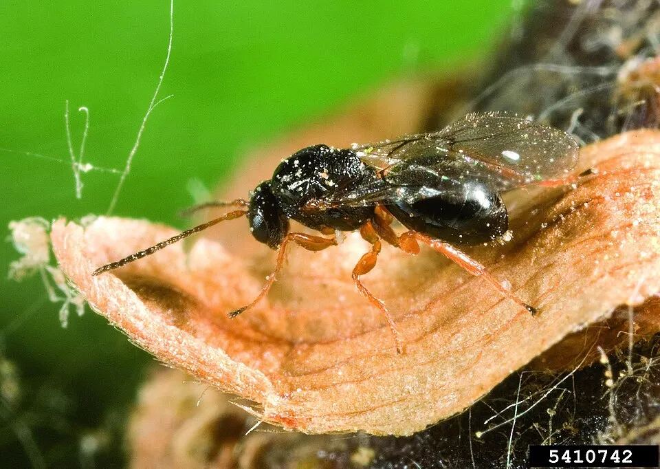 Chestnut Gall Wasp
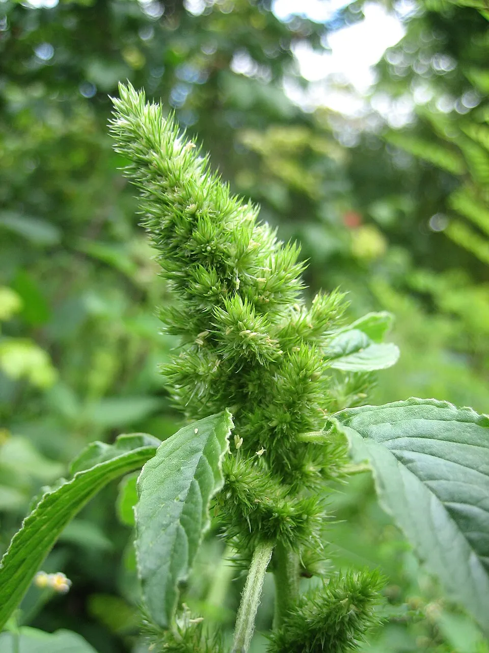 Common Amaranth
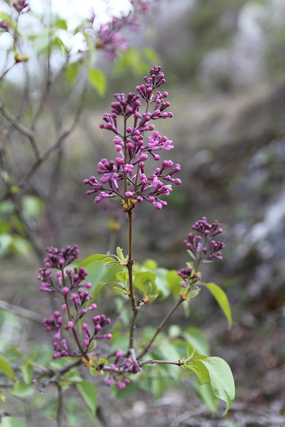 Common Lilac
Photos: Tree-of-heaven © Darkone · CC BY-SA 2.5; Cherry laurel © Zeynel Cebeci · CC BY-SA 4.0; Butterfly-bush © --IKAl 15:22, 23 July 2007 (UTC) · CC BY-SA 2.5; Small-leaf spiderwort © Enrique Dans from Madrid, Spain · CC BY 2.0; Black locust © This Photo was taken by Wolfgang Moroder. Feel free to use my photos, but please mention me as the author and send me a message. This image is not in the public domain. Please respect the copyright protection. It may only be used according… · CC BY-SA 3.0; Chestnut Gall Wasp © Gyorgy Csoka, Hungary Forest Research Institute, Bugwood.org · CC BY 3.0; Common Amaranth © Lynk media · CC BY-SA 3.0; Common Lilac © Aporia.j · CC BY-SA 4.0
Sources: Global Forest Change (Hansen et al., University of Maryland, via Global Forest Watch, CC-BY 4.0); EFFIS, European Commission / Copernicus; NASA Black Marble 2016 (public domain); CORINE Land Cover 2018 (Copernicus) or MODIS.
CORINE Land Cover Change 1990–2018: generated using European Union's Copernicus Land Monitoring Service information (EEA), aggregated by Parkavela; DOI 10.2909/f30f1000-7cf8-43bb-872c-5eb093911b24.
Ecological status of water bodies: European Environment Agency, WISE – Water Framework Directive, 3rd river basin management plans (2022), CC BY 4.0. Official national classification, not comparable between countries.
Invasive alien species: Global Register of Introduced and Invasive Species (ISSG, CC BY 4.0); Union list, Regulation (EU) 1143/2014 (INBO, CC0); GBIF.org records (CC0 / CC BY 4.0), at least 2 per species.
107 viewpoints · 10 waterfalls · 9 lakes and ponds · 1 natural arch · 1,542 caves
25 mountain huts · 7 campsites
250 waymarked routes listed, including:
Signed cycle routes: this does not mean that cycling is allowed on footpaths.
Data © OpenStreetMap contributors (ODbL) · Wikidata (CC0)
Contains information from EuroVelo GPX tracks downloaded from www.EuroVelo.com on 2026-10-22, which is made available here under the Open Database License (ODbL). EuroVelo® is a registered trademark of the ECF. Routes © OpenStreetMap contributors (ODbL), via Waymarked Trails
62.9 km within the site ↗ 3,331 m↘ 2,792 m 220–1,161 m
14.8 km within the site ↗ 1,314 m↘ 329 m 462–1,611 m
11.5 km within the site ↗ 818 m↘ 626 m 939–1,406 m
up to T2 · mountain hiking
Tracks © OpenStreetMap contributors (ODbL), clipped to the boundary; elevation gain and profiles computed on the longest section from Mapzen Terrain Tiles (≈ 30 m), indicative only. Indicative difficulty (SAC scale, OpenStreetMap, via Waymarked Trails): check with the park.
Equi Terme railway station lies within the site. Nearest towns of over 50,000 people, as the crow flies: Carrara (0.6 km) and Massa (1 km). Nearest airport: Pisa International Airport 'Galileo Galilei' (PSA), about 27 km away. About 750,000 people live within 20 km of the site boundary, 430,000 of them within 10 km; some 21,000 people are estimated to live inside (GHSL estimate, 2020). Visitor information on site: Ufficio informazioni Proloco and Punto Informativo. Waymarked hiking routes listed in OpenStreetMap: 250, including Cammino di Assisi, Genova, Via Vandelli, Sentiero dei Ducati and Sentiero dei Ducati Deviazione Ponte Vecchio. The EuroVelo 5 cycle route (Via Romea Francigena) crosses the site for about 8 km; another signed cycle route also passes through: “VFB Ciclovia Francigena Italia” (EuroVelo, OpenStreetMap). To see: 107 viewpoints, 10 waterfalls, 9 lakes and ponds, 1 natural arch and 1,542 caves, including Finestra Vandelli (1,404 m), Cascata Della Pendolina, Bozzetti and Arco del Monte Forato. Where to stay: 25 mountain huts and 7 campsites, including Rifugio Enrico Rossi (1,608 m), Area Camper di Equi Terme and K2 (1,500 m). To plan a visit (access, opening periods, visitor rules), it is best to consult the official information from the managing body and the official website listed in this page's sources.
Source: OpenStreetMap (ODbL), Wikidata (CC0), October 2026.
According to Wikidata, 56 monuments protected as Italian national cultural heritage stand within the boundary. Among them are 43 religious buildings, 4 houses and civic buildings and 3 prehistoric and archaeological sites. Examples include “Chiesa dei Santi Filippo e Giacomo” in Massa, “Fortezza di Mont'Alfonso” in Castelnuovo di Garfagnana and “Museo della Pietra Piegata” in Stazzema.
and 48 more
Source: Wikidata (CC0), monuments in each country’s official heritage protection registers, at national or regional level. Each item links to its Wikidata entry.
Best time to visit: from June to September, with average temperatures of 12 to 17 °C and moderate rainfall. Precipitation peaks in October and November (up to 200 mm per month). These averages apply to the site's representative point (1,326 m); higher up it is markedly cooler and snow lasts longer. Day length ranges from about 8 h 54 min in December to 15 h 28 min in June. Wildlife records published on GBIF peak for birds (January), plants (from May to July), butterflies and moths (July and August), dragonflies (July) and mammals (from June to August). These peaks also reflect when observers are most active.
Source: Copernicus ERA5-Land (C3S), monthly averages 1996–2025 at the representative point, temperatures adjusted for elevation.
Contains modified Copernicus Climate Change Service information 2026. Neither the European Commission nor ECMWF is responsible for any use that may be made of the Copernicus information or data it contains.
Monthly records published on GBIF (CC-BY), relative to the busiest month; also reflects observer activity.
Data © OpenStreetMap contributors (ODbL), Wikidata (CC0) and the sources cited.